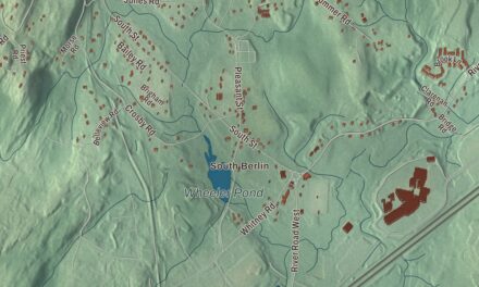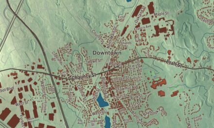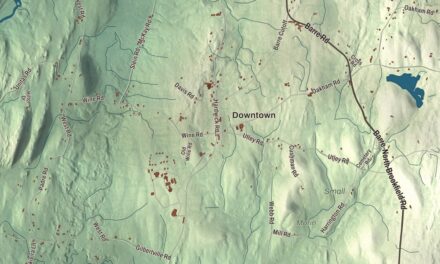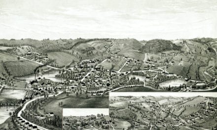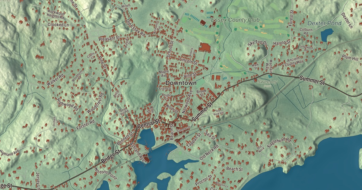
Manchester-by-the-Sea sits on the southern side of Cape Ann, where the peninsula meets the mainland, and almost half of its area is water. This map prints Bridge Street, Central Street, Summer Street, School Street, Boardman Avenue and Harbor Street, with Clark Pond, Dexter Pond and Beaverdam Hill. Click here to purchase a print of this map for your wall.
Manchester-by-the-Sea is in Essex County.
KNOWOL made this map in 2026 from public survey data and gave it the look of an old atlas. The relief comes from United States Geological Survey elevation data, and the streets and the town line come from the Census Bureau. The town covers 18.3 square miles, 9.2 of them land and 9.0 of them water, along the North Shore of Massachusetts Bay. Beverly and Wenham lie to the west, Hamilton to the northwest, Essex to the north and Gloucester to the east, and Boston is 24 miles to the southwest. Seven beaches line the coast, and Kettle Island and House Island are the largest of the small islands offshore. The town had 5,395 people at the 2020 census.
A fishing town on Cape Ann
The Agawam people lived here when the English arrived. The Town of Manchester-by-the-Sea’s recorded history, in the Secretary of the Commonwealth’s list, dates European settlement to 1629, and Manchester was incorporated as a town in 1645, formed from land taken from Salem and Gloucester. In 1700 the selectmen paid three grandchildren of the Agawam sachem Masconomet three pounds and nineteen shillings for the rights to the land. Fishing was the town’s main industry almost from its incorporation, and for more than 200 years Manchester thrived as a fishing community. The town remains part of Essex County today.
Summer cottages and a new name
In 1845 the poet Richard Henry Dana Sr. built a house in town, and summer residents from Boston followed. Over the next fifty years, summer houses went up along the coast until Manchester was Boston society’s summer place of choice. The best known of these summer cottages was Kragsyde, a Shingle style house that the Boston firm of Peabody and Stearns designed for George Nixon Black. It stood on a high rock outcropping on Smith’s Point, overlooking Lobster Bay, and Frederick Law Olmsted laid out its terraced grounds. The architectural historian Vincent Scully called it “a masterpiece.” Kragsyde was torn down in 1929, though some of Olmsted’s walls survive. Coolidge Point tells a similar story: Charles McKim designed the “Marble Palace” there in 1902 for T. Jefferson Coolidge, a great-grandson of Thomas Jefferson. The mansion came down in 1958, and its grounds are kept today as the Ocean Lawn of the Coolidge Reservation.
Before 1989 the town was simply Manchester. The Boston publisher James T. Fields first used the name “Manchester by the Sea” in 1877, at the yearly summer picnic of the Manchester Elder Brethren, a gathering that still takes place. To end the mix-ups with Manchester, New Hampshire, town meeting voted in 1989 to make it official, and the vote was 97 to 95. The town’s weekly paper, The Manchester Cricket, has been published since 1888, and the town shares its name with the 2016 film Manchester by the Sea.
Singing sand and glacial rocks
Singing Beach, a mile from the town center, gets its name from its sand, which squeaks underfoot. It’s a half-mile walk from the commuter rail station. Inland, The Monoliths, a 116-acre park once called Agassiz Rock, holds two huge boulders the glaciers left behind; Big Rock stands about thirty feet tall in a small shrub swamp. In 1874 a group of students named the site for Louis Agassiz, the Harvard professor who first argued that glaciers shaped and scattered New England’s rocks, and Agassiz came to see it for himself.
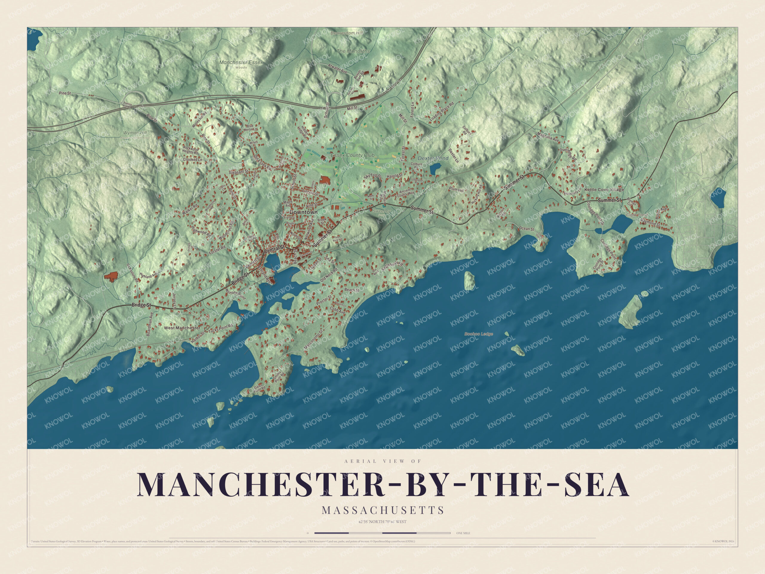
Click to explore a larger preview. The digital watermark does not appear on printed maps.
Names on this map
These names are printed on this map.
Places: Downtown, Kettle Cove Village, West Manchester, Beaverdam Hill, Boohoo Ledge, Clark Pond, Dexter Pond, Manchester Essex Woods, Sweeney Park, The Monoliths, Wyman Hill Conservation Area and Essex County Club.
Streets and roads: Bridge Street, Central Street, Summer Street, School Street, Boardman Avenue, Harbor Street, Coolidge Point Drive, Eaglehead Road, Old Neck Road, Pine Street, Masconomo Street, Ocean Street.
More street names, A to Z
Ancient County Way, Arbella Street, Ashland Avenue, Atwater Avenue, Beach Street, Beaver Dam Road, Bennett Street, Blossom Lane, Blue Heron Lane, Blyman Circle, Brice Lane, Brook Street, Butler Avenue, Cobb Avenue, Colburn Road, Coolidge Point, Crafts Court, Crooked Lane, Crow Island, Deer Hill Road, Dexter Lane, Elm Street, Forest Lane, Forest Street, Forster Road, Friend Street, Gales Point Road, Gentlees Road, Harold Street, Hickory Hill Road, Hidden Ledge Road, Highland Avenue, Highwood Road, Jersey Lane, Knight Circle, Ledgewood Road, Lincoln Street, Loading Place Road, Machain Way, Magnolia Avenue, Maple Avenue, Mark Street, Millets Lane, Mill Street, Moses Hill Road, North Street, Nortons Point, Norwood Avenue, Old Essex Road, Old Neck, Orchard Lane, Overledge Road, Ox Pasture Road, Pipeline Line Road, Pleasant Street, Plum Hill, Proctor Street, Pulaski Drive, Raymond Street, Rockwood Heights Road, Sea Street, Sky Top Drive, Smiths Point Road, Spy Rock Hill, Tappan Street, Tucks Point Road, University Lane, Victoria Road, Vine Street, Walker Road, Willmonton Avenue, Woodcrest Road, Woodholm Road.
See it on a wall
The Manchester-by-the-Sea map as a framed print. Swipe for more.


Around the map
Start with Kettle Cove Village, then follow Bridge Street, Central Street, Summer Street, School Street, Boardman Avenue and Harbor Street across town. On the Gloucester line, Surf Park straddles the border with Magnolia, a village of Gloucester, and looks out over Kettle Cove. Then look outward toward West Manchester. Clark Pond, Dexter Pond and Beaverdam Hill are all printed on the map, and every one of those names is right there on the artwork. Dexter Pond is one of the town’s protected areas, along with the Cedar Swamp, Coolidge and Powder House Hill lands. Manchester Harbor, fed by Sawmill Brook, is the largest of the coves along the shore.
The Manchester-by-the-Sea map makes a fine addition to an office, library or den, and it can help teach children the geography and history of a Cape Ann fishing town. It’s made for people who call Manchester-by-the-Sea home, from West Manchester to Kettle Cove, and it shows the town as it looks today. Zoom in on the preview above to explore the details, then click here to get your copy of the Manchester-by-the-Sea, Massachusetts map.

Sources
- Manchester-by-the-Sea, Massachusetts, Wikipedia
- Kragsyde, Wikipedia
- Coolidge Reservation, Wikipedia
- The Monoliths (Manchester-by-the-Sea), Wikipedia
- Richard Henry Dana Sr., Wikipedia
- Magnolia, Massachusetts, Wikipedia
- City and Town Incorporation and Settlement Dates, Secretary of the Commonwealth of Massachusetts (archived copy)