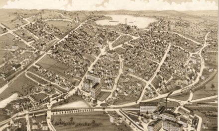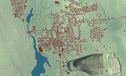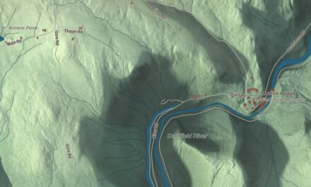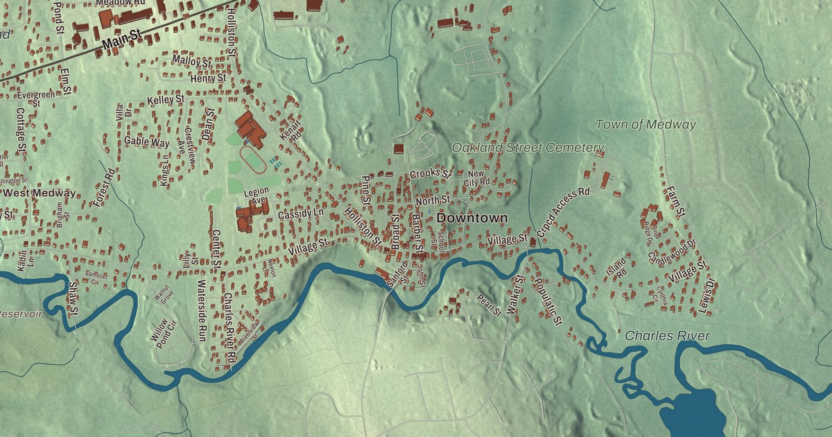
Medway grew up along the Charles River and Chicken Brook, where water power turned a farm town into a mill town. This map prints Main Street, Summer Street, Milford Street, West Street, Hill Street and Franklin Street, with Populatic Pond, Milk Pond, Weston Pond, Park Pond and the Charles River Reservoir. Click here to purchase a print of this map for your wall.
Medway is in Norfolk County.
KNOWOL made this map in 2026 from public survey data and gave it the look of an old atlas. The relief comes from United States Geological Survey elevation data, and the streets and the town line come from the Census Bureau. Medway covers 11.5 square miles, nearly all of it land, and Routes 109 and 126 are among its main roads. The town sits between Boston, Worcester and Providence, and some say that’s where the name comes from, though the town page says it most likely comes from Medway in England or the River Medway. The town had 13,115 people at the 2020 census.
West of the Charles
After Medfield became a town in 1651, newcomers began settling the land on the west side of the Charles River. The Town of Medway’s recorded history, in the Secretary of the Commonwealth’s list, dates European settlement to 1657. By 1712 the settlement was big enough to ask the General Court for a town of its own, and Medway was incorporated as a town in 1713, on October 25, as a farming community of two hundred thirty-three people. The town remains part of Norfolk County today. For more than 170 years Medway also took in the land that’s now Millis, but the Great Black Swamp in the middle kept the two halves from sharing a meeting house, churches or schools, and East Medway broke away as Millis in 1885.
Mills, old roads and new names
It wasn’t long before the Charles River and Chicken Brook were powering cotton and paper mills, straw and boot factories and many small home industries. The Medway Village Historic District, an industrial village of the 1800s in the southeastern part of town, covers 60 acres and more than 240 historic buildings, most of them built between 1831 and 1897. Its heart is on the oldest road in town, laid out in 1670 and long called Old Mendon Road, then the Road to the Wilderness, the Old County Road and the Middle Post Road, and today Village Street; Medway Village sits where Holliston Street meets it. In 1869 the town officially named its streets, many of them for townspeople, and that year the Old Hartford Turnpike became Main Street. Lovering, Adams, Partridge, Ellis, Clark, Coffee and Barber streets are named for past residents.
Two men named Adams who made their names far from home were Medway boys. John “Grizzly” Adams, the California mountain man and trainer of grizzly bears, was born and raised here and apprenticed as a shoemaker at fourteen. William Taylor Adams, born in Medway in 1822 to a tavern keeper, wrote well over 100 books, most of them for boys, as “Oliver Optic.” Dennis Crowley, who created the Foursquare app, is from Medway too.
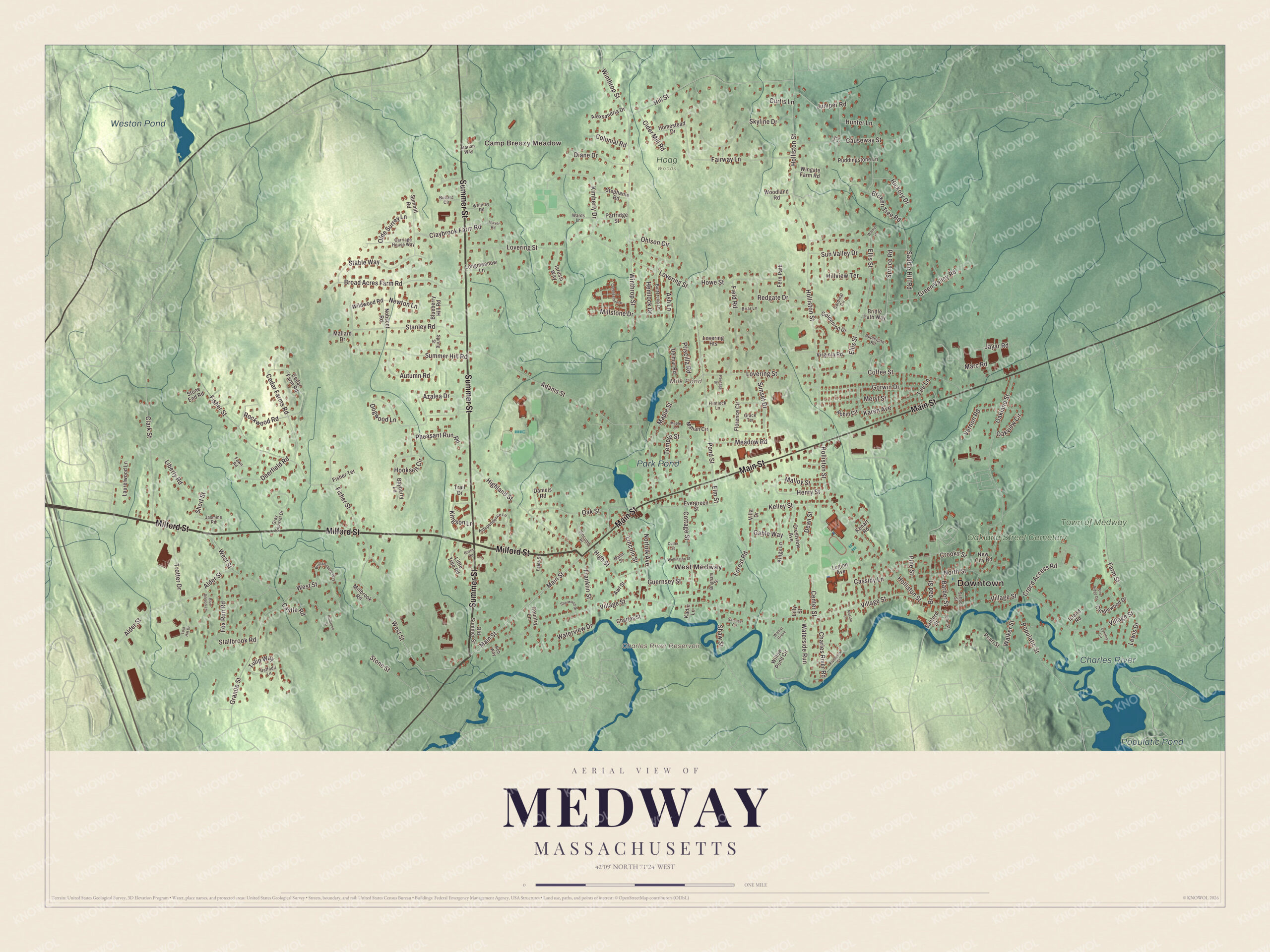
Click to explore a larger preview. The digital watermark does not appear on printed maps.
Names on this map
These names are printed on this map.
Places: Downtown, Camp Breezy Meadow, West Medway, Charles River Reservoir, Milk Pond, Populatic Pond, Weston Pond, Park Pond, Charles River, Town of Medway, Oakland Street Cemetery and Hoag Woods.
Streets and roads: Summer Street, Main Street, Milford Street, West Street, Hill Street, Franklin Street, Village Street, Holliston Street, Winthrop Street, Lovering Street, Fisher Street, Oakland Street.
More street names, A to Z
Adams Street, Alder Street, Alexsandria Drive, Applegate Road, Ash Lane, Autumn Road, Awl Street, Azalea Drive, Barber Street, Bayberry Lane, Blueberry Hill Road, Blue Ribbon Lane, Briar Lane, Bridle Path Way, Brigham Street, Broad Acres Farm Road, Broad Street, Broken Tree Road, Bullard Circle, Buttercup Lane, Candlewood Drive, Cardinal Circle, Carriage House Way, Cassidy Lane, Castle Road, Causeway Street, Cedar Farm Road, Cedar Farms Road, Center Street, Charles River Road, Charles Street, Cider Mill Road, Clark Street, Claybrook Farm Road, Cobblestone Drive, Coffee Street, Colonial Road, Cottage Street, Country Lane, Crestview Avenue, Crooks Street, Crpcd Access Road, Curtis Lane, Cutler Street, Cynthia Circle, Daffodil Lane, Daniels Road, Dean Street, Deerfield Road, Delmar Road, Diane Drive, Dogwood Lane, Ellis Street, Elm Street, Evergreen Street, Fairway Lane, Fales Street, Farm Street, Fawn Road, Fern Path, Field Road, Fisher Terrace, Flintlock Lane, Florence Circle, Forest Road, Fox Run Road, Gable Way, Goldenrod Drive, Gorwin Drive, Grace Terrace, Granite Street, Gray Squirrel Drive, Green Valley Road, Guernsey Street, Hemlock Drive, Henry Street, Heritage Drive, Hickory Drive, Highland Street, High Street, Hillview Terrace, Holbrook Street, Homestead Drive, Hooksett Circle, Howe Street, Hunter Lane, Iarussi Way, Independence Lane, Island Road, Ivy Lane, Jasmine Road, Jayar Road, John Street, Juniper Road, Kadin Lane, Karen Avenue, Kelley Street, Kenart Road, Kimberly Drive, Kings Lane, Kingson Lane, Laurelwood Lane, Lee Lane, Legion Avenue, Lewis Drive, Liberty Road, Lilly Street, Lincoln Street, Little Tree Road, Longmeadow Lane, Lost Hill Drive, Lovering Heights, Mahan Circle, Mallard Drive, Malloy Street, Mann Street, Maple Lane, Maple Street, Marc Road, Marian Way, Meadow Road, Meryl Street, Millbrook Road, Millstone Drive, Neelon Lane, New City Road, Newton Lane, Nobscot Road, Norfolk Avenue, North Street, Oak Street, Oakview Circle, Ohlson Circle, Olde Surrey Lane, Old Summer Street, Partridge Street, Pearl Street, Pheasant Run Road, Pine Ridge Drive, Pine Street, Pond Street, Populatic Street, Priscilla Road, Puddingstone Lane, Redgate Drive, Riverview Street, Robin Circle, Rob Way, Rockwood Road, Rustic Road, Saddle Hill Road, Samoset Circle, Sanford Street, School Street, Shaw Street, Sherwood Drive, Short Street, Skyline Drive, Slocumb Place, Spring Street, Spruce Road, Stable Way, Stallbrook Road, Stanley Road, Stephanie Road, Stone End Road, Stone Street, Summer Hill Road, Summit Road, Sunset Drive, Sun Valley Drive, Temple Street, Thayer Road, Trail Drive, Trotter Drive, Tulip Way, Vernon Road, Villa Drive, Virginia Road, Walker Street, Walnut Grove, Walnut Lane, Wards Lane, Waterside Run, Waterview Drive, Wellington Street, Whitney Road, Wildwood Road, Williamsburg Way, Willow Pond Circle, Wingate Farm Road, Woodland Road.
Around the map
Start with West Medway, then follow Summer Street, Main Street, Milford Street, West Street, Hill Street and Franklin Street across town. Village Street winds along the Charles from the Millis line and joins Main Street just before the Bellingham line. Milk Pond, Populatic Pond, Weston Pond, Park Pond and the Charles River Reservoir are all printed on the map, and every one of those names is right there on the artwork. Until 1966 the Millis Branch railroad stopped at Medway and West Medway, and Interstate 495 crosses the town’s southwest corner without an exit.
The Medway map makes a fine addition to an office, library or den, and it can help teach children the geography and history of a Charles River mill town. It’s made for people who call Medway home, from West Medway to Medway Village, and it shows the town as it looks today. Zoom in on the preview above to explore the details, then click here to get your copy of the Medway, Massachusetts map.

We made a map for every town and city in Massachusetts. Explore the complete Massachusetts map collection and find your town.
Sources