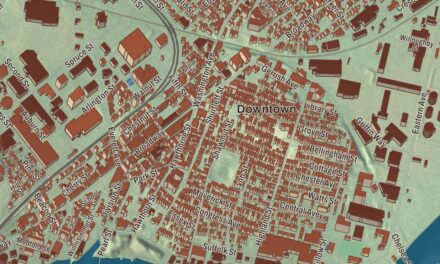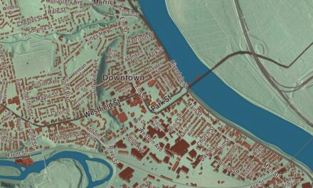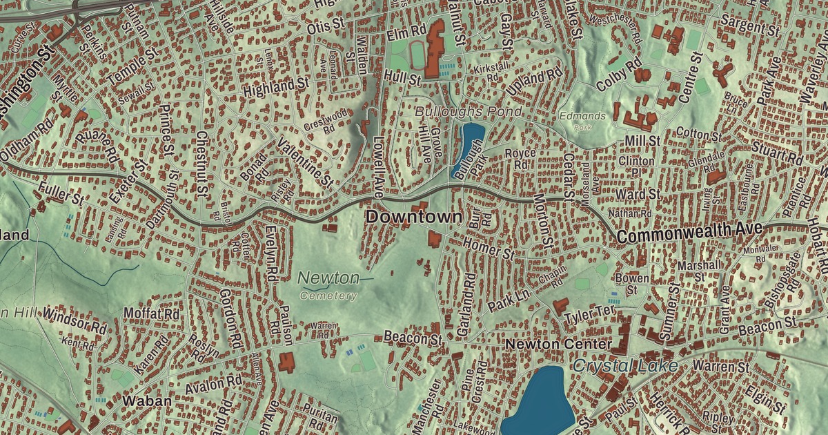
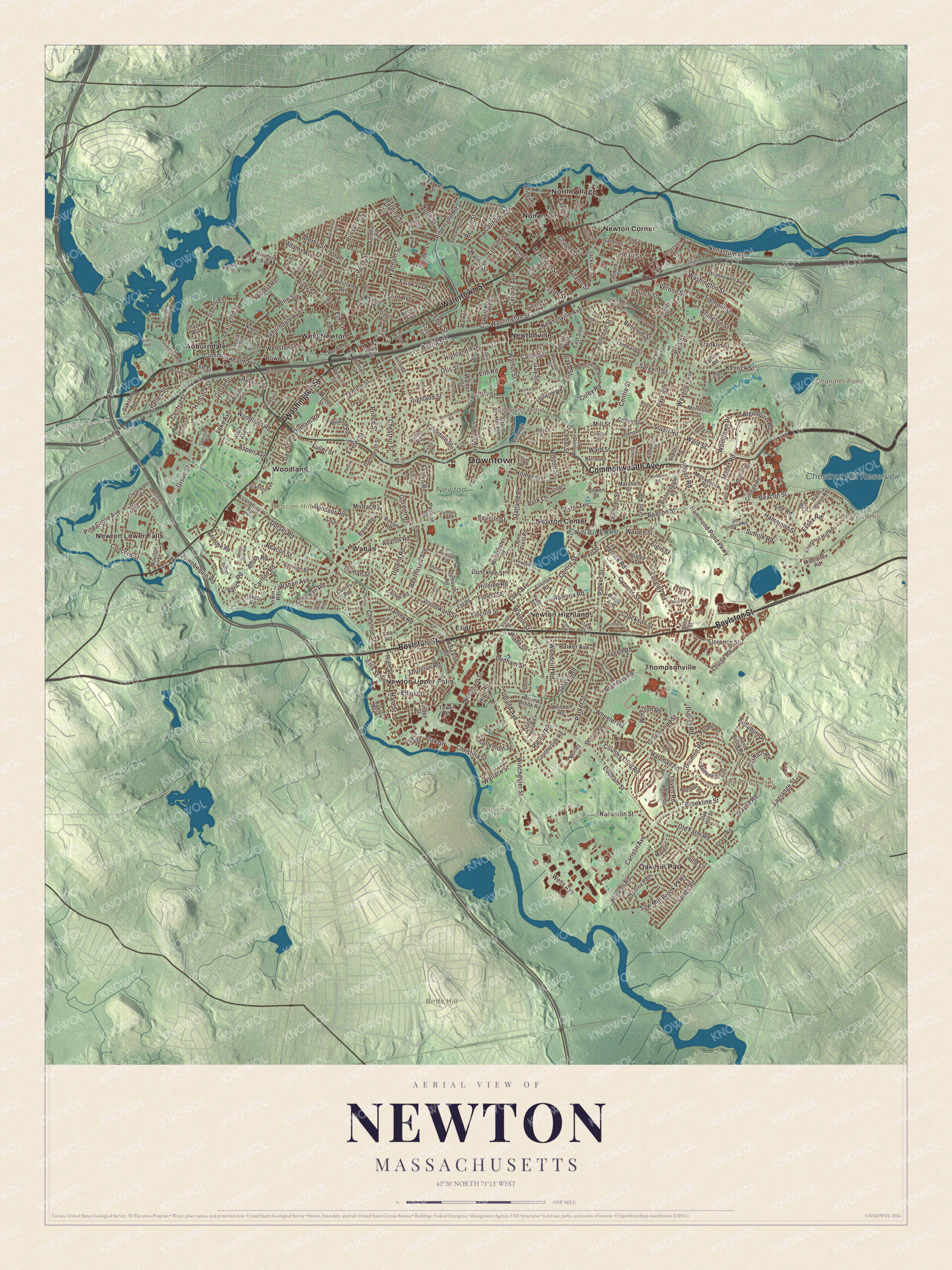
Newton has no single downtown, just thirteen villages, and this map stitches them together with its main roads: Washington Street, Commonwealth Avenue, Centre Street, Boylston Street, Watertown Street and Waban Avenue. Crystal Lake, Bulloughs Pond, Chandler Pond and the Chestnut Hill Reservoir are printed on it, along with Bald Pate Hill, Beacon Hill and Birds Hill. Click here to purchase a print of this map for your wall.
Newton is in Middlesex County.
KNOWOL made this map in 2026 from public survey data and gave it the look of an old atlas. Newton’s hills come from United States Geological Survey elevation data, and the streets and the city line come from the Census Bureau. The city lies about 8 miles west of downtown Boston and covers 18.2 square miles, with the Charles River along its northern and western sides. Waltham and Watertown lie to the north, Needham and West Roxbury to the south, Wellesley and Weston to the west, and Brookline and Brighton to the east. The Census Bureau’s 2025 estimate put its population at 90,741.
Cambridge Village
The City of Newton’s recorded history, in the Secretary of the Commonwealth’s list, dates European settlement to 1639, when this land was part of the “newe towne” that became Cambridge. The Massachusett people of Nonantum, led by the sachem Waban, lived here until John Eliot persuaded them to move to Natick in 1651. The town page says Newton broke away from Cambridge as Cambridge Village in 1681, became Newtown in 1691 and took the name Newton in 1766, while the Secretary of the Commonwealth’s list has Newton incorporated as a town in 1688. It was incorporated as a city in 1873, by that list; the town page gives January 5, 1874. Newton is known as the Garden City.
Small mills at Newton Upper Falls and Newton Lower Falls made snuff, chocolate, glue and paper in the late 1700s and early 1800s, and from 1902 Newton was home to the Stanley Motor Carriage Company, maker of the Stanley Steamer. In historian Diana Muir’s account, Newton became one of North America’s earliest commuter suburbs: the Boston and Worcester railroad reached West Newton in 1834, and wealthy Boston businessmen built gracious homes on the farmland of West Newton hill and along Commonwealth Avenue. Later waves of building followed the streetcar lines and, in the 1920s, the automobile.
Heartbreak Hill
Every Patriots’ Day the Boston Marathon comes into Newton from Wellesley on Washington Street, where the runners meet the first of the four Newton Hills. The course turns right onto Commonwealth Avenue for the long run toward Boston, and after two more hills, shortly past Centre Street, rises the fourth and most noted, Heartbreak Hill. Crowds line Washington Street and Commonwealth Avenue to cheer the runners on. Click here to learn more about the history of Newton.
Click to explore a larger preview. The digital watermark does not appear on printed maps.
Names on this map
These names are printed on this map.
Places: Downtown, Bald Pate Hill, Beacon Hill, Birds Hill, Chestnut Hill, Bulloughs Pond, Chandler Pond, Chestnut Hill Reservoir, Crystal Lake, Edmands Park, Nahanton Park, Newton Cemetery, Auburndale, Eliot, Newton Center, Newton Corner, Newton Highlands, Newton Lower Falls, Newton Upper Falls, Newtonville, Nonantum, North Village, Oak Hill Park, Thompsonville, Waban, West Newton, Woodland and Bullough Park.
Streets and roads: Watertown Street, Washington Street, Boylston Street, Commonwealth Avenue, Centre Street, Waban Avenue, Waltham Street, Nonantum Road, Hammond Pond Parkway, Beacon Street, Walnut Street, Chestnut Street.
More street names, A to Z
Adams Avenue, Adams Street, Adella Avenue, Alban Road, Albemarle Road, Albert Road, Alden Place, Algonquin Road, Allen Avenue, Allerton Road, Allison Street, Andrew Street, Annawan Road, Arlington Street, Arlo Road, Ash Street, Aspen Avenue, Auburndale Avenue, Auburn Street, Audubon Drive, Austin Street, Avalon Road, Bacon Street, Baldpate Hill Road, Beecher Place, Beethoven Avenue, Bellevue Street, Bemis Street, Bennington Street, Bishopsgate Road, Blake Street, Bonad Road, Border Street, Bound Brook Road, Bowen Street, Boyd Street, Braeburn Road, Brandeis Road, Bridges Avenue, Bridge Street, Bristol Road, Brookline Street, Bruce Lane, Burr Road, Byrd Avenue, Cabot Street, California Street, Capital Street, Carlson Avenue, Carlton Road, Carver Road, Cedar Street, Central Avenue, Central Street, Chapel Street, Chapin Road, Charlemont Street, Charles Street, Chaske Avenue, Chatham Road, Cherry Street, Chestnut Hill Road, Christina Street, Church Street, Clark Street, Clearwater Road, Clinton Place, Colby Road, College Road, Collins Road, Concord Street, Cotter Road, Cotton Street, Country Club Road, Countryside Road, Court Street, Crafts Street, Crestwood Road, Cross Street, Curve Street, Cypress Street, Dartmouth Street, Davis Avenue, Davis Street, Day Street, Dedham Street, Deforest Road, Derby Street, Dolphin Road, Dorr Road, Dorset Road, Druid Hill Road, Drumlin Road, Dudley Road, Duncklee Street, Dunstan Street, Eastbourne Road, East Side Parkway, Eddy Street, Eden Avenue, Eldredge Street, Elgin Street, Eliot Avenue, Elliot Street, Ellis Street, Elm Road, Elm Street, Emmons Street, Essex Road, Estate Drive, Evelyn Road, Exeter Street, Fairlee Road, Fairway Drive, Farlow Road, Farwell Street, Faxon Street, Fessenden Lane, Fessenden Street, Floral Street, Florence Street, Fordham Road, Forest Street, Franklin Street, Fuller Street, Gardner Street, Garland Road, Gate House Road, Gay Street, Glendale Road, Goff Street, Gordon Road, Grace Road, Grant Avenue, Grant Street, Great Meadow Road, Greenwood Street, Grove Hill Avenue, Grove Street, Hagen Road, Hale Street, Hamlet Street, Hammond Street, Hancock Street, Harding Street, Harrison Street, Hartman Road, Harvard Street, Harwich Road, Hawthorn Street, Herrick Road, Highland Avenue, Highland Street, High Street, Hillside Avenue, Hillside Road, Hobart Road, Homer Street, Hull Street, Hunnewell Avenue, Hyde Avenue, Hyde Street, Ionia Street, Irving Street, Irwin Road, Islington Road, Jackson Road, Jackson Street, James Street, Jefferson Street, Jewett Street, John Street, June Lane, Karen Road, Keefe Avenue, Kenrick Street, Kent Road, Kilburn Road, Kingswood Road, Kirkstall Road, Lagrange Street, Lake Avenue, Lakewood Road, Langdon Street, Langley Road, Lansing Road, Lantern Lane, Lee Road, Lenox Street, Leonard Avenue, Lewis Street, Lexington Street, Lincoln Street, Linden Street, Linwood Avenue, Lombard Street, Longfellow Road, Lothrop Street, Louise Road, Lovett Road, Lowell Avenue, Manchester Road, Manet Road, Maple Street, Margaret Road, Marshall Street, Marvin Lane, Middlesex Road, Mill Street, Moffat Road, Monadnock Road, Montrose Street, Montvale Road, Morseland Avenue, Morton Street, Moulton Street, Murley Lane, Myrtle Street, Nahanton Street, Nancy Road, Nardell Road, Nathan Road, Needham Street, Nehoiden Road, Neshobe Road, Nevada Street, Newell Road, Newtonville Avenue, North Street, Oak Avenue, Oak Hill Street, Oakland Avenue, Oak Street, Ober Road, Old England Road, Old Farm Road, Oldham Road, Oliver Road, Osborne Path, Otis Place, Otis Street, Palmer Road, Park Avenue, Parker Avenue, Parker Street, Park Lane, Park Street, Parkway Road, Parmenter Road, Paulson Road, Paul Street, Payne Road, Pearl Street, Perkins Street, Pine Crest Road, Pine Grove Avenue, Pine Street, Plymouth Road, Pond Brook Road, Prentice Road, Prince Street, Priscilla Road, Puritan Road, Putnam Street, Quinobequin Road, Rachel Road, Ridge Avenue, Ripley Street, Risley Road, River Path, River Street, Robinhood Street, Rokeby Road, Roslyn Road, Rowena Road, Rowe Street, Royce Road, Ruane Road, Rumford Avenue, Russell Road, Saco Street, Saint James Street, Sargent Street, Saw Mill Brook Parkway, Selwyn Road, Seminary Avenue, Sevland Road, Sewall Street, Sharpe Road, Smith Avenue, Spiers Road, Staniford Street, Stanley Road, Stanton Avenue, Stuart Road, Suffolk Road, Summit Street, Sumner Street, Temple Street, Thurston Road, Tower Road, Tremont Street, Tudor Road, Tyler Terrace, Upland Avenue, Upland Road, Valentine Street, Varick Road, Vernon Street, Vista Avenue, Wabasso Street, Wade Street, Walden Street, Walker Street, Wallace Street, Ward Street, Warren Road, Warren Street, Waverley Avenue, Wayne Road, Webster Street, Wells Avenue, Wendell Road, Westchester Road, Westgate Road, Westland Avenue, Wheeler Road, White Oak Road, William Street, Williston Road, Winchester Street, Windsor Road, Winston Road, Wiswall Road, Wolcott Street, Woodbine Street, Woodcliff Road, Wood End Road, Woodland Road, Woodlawn Drive, Woodward Street, Wyman Street, York Road.
See it on a wall
The Newton map as a framed print. Swipe for more.


Around the map
Start with Auburndale, then follow Watertown Street, Washington Street, Boylston Street, Commonwealth Avenue, Centre Street and Waban Avenue across the city. Then look outward toward Eliot, Newton Center, Newton Corner, Newton Highlands and Newton Lower Falls. Bulloughs Pond, Chandler Pond, the Chestnut Hill Reservoir, Crystal Lake, Bald Pate Hill, Beacon Hill and Birds Hill are all labeled on the map, and every one of those names is printed directly on the artwork. Bald Pate Hill is one of the seven hills Newton grew around, the others being Nonantum Hill, Waban Hill, Chestnut Hill, Oak Hill, Institution Hill and Mount Ida. Crystal Lake, a 33-acre natural great pond in Newton Centre, was called Wiswall’s Pond after Thomas Wiswall built a house in 1654 on its shore beside the Dedham Trail, now Centre Street, and an ice harvester later gave it its present name. Bulloughs Pond began in 1664 as a mill pond when Captain John Spring dammed Laundry Brook. At 527 Washington Street in Newton Corner, the Jackson Homestead, built in 1809, was a station on the Underground Railroad; William Jackson, an abolitionist who served in Congress, lived there, and it’s now the Newton History Museum. Waban Avenue is one of the roads the city protects as scenic, with rules that limit cutting its trees and removing its old stone walls. Auburndale, once billed as Auburndale-on-the-Charles, was home to Norumbega Park and its Totem Pole Ballroom until the 1960s; the area now holds more than 80 acres of conservation land on the river. The Chestnut Hill Reservoir, designed by Frederick Law Olmsted and built in 1870, lies just over the line in Boston.
The Newton map makes a fine addition to an office, library or den, and it can help teach children the geography and history of a city of villages along the Charles. It’s made for people who call Newton home, from Auburndale to Newton Corner, and it shows the city as it looks today. Zoom in on the preview above to explore the details, then click here to get your copy of the Newton, Massachusetts map.

Sources
- Newton, Massachusetts, Wikipedia
- Crystal Lake (Newton, Massachusetts), Wikipedia
- Bullough’s Pond, Wikipedia
- Jackson Homestead, Wikipedia
- Auburndale, Massachusetts, Wikipedia
- Chestnut Hill Reservoir, Wikipedia
- City and Town Incorporation and Settlement Dates, Secretary of the Commonwealth of Massachusetts (archived copy)