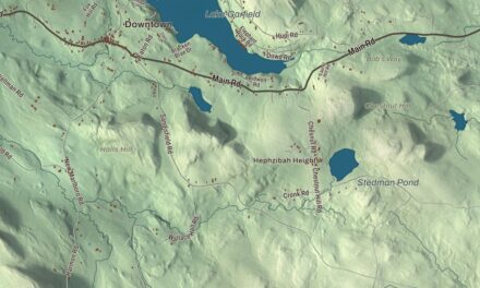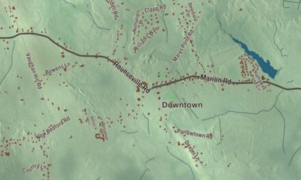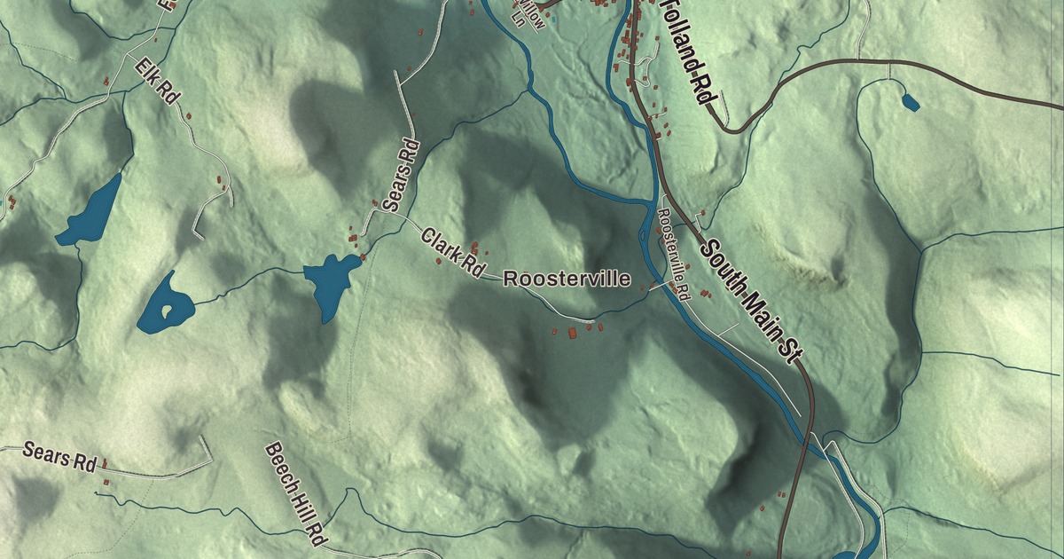
Sandisfield is the largest town by land area in Berkshire County, and this map spreads its back roads, Sandisfield Road, Tolland Road, South Main Street, Sandy Brook Road and Old River Road, across the hills from Roosterville to Montville and South Sandisfield. Click here to purchase a print of this map for your wall.
Sandisfield is in Berkshire County.
KNOWOL made this map in 2026 from public survey data, laid out like a page from an old atlas. United States Geological Survey elevation data shapes the plateau and its river valleys, and the roads and the town line come from the Census Bureau. Sandisfield covers 53.0 square miles in the southeast corner of the county, on the Connecticut line, with Otis to the north and northeast, Tolland to the east, Colebrook and Norfolk, Connecticut, to the south, New Marlborough to the west and Monterey to the northwest. It’s the eighth-largest town in the state by land area. Route 8 follows the Farmington River along the east side of town, and Route 57 crosses the middle from west to east. Sandisfield had 989 people at the 2020 census.
Township Number 4
The Town of Sandisfield’s recorded history, in the Secretary of the Commonwealth’s list, dates European settlement to 1750, when the place was Housatonic Township Number 4, and Sandisfield was incorporated as a town in 1762. The name most likely honors Lord Sandys, a British colonial official, whose name was said “Sands.” Sandisfield was a farm town of rye fields and orchards, and several sawmills went up along its rivers. Most of that industry failed late in the nineteenth century, when a planned railroad along the Farmington River fell through. Around the same time, many Ukrainian farmers moved in, and a good number of them ran chicken farms. Today the town is mostly rural, and one of the least densely settled parts of the state.
On Hammertown Road, just off Sandisfield Road, stands a Greek Revival church that the Baptists of Montville built between 1839 and 1842. Their congregation dwindled, and the building sat empty until 1921, when a Jewish congregation, B’nai Abraham, made up of families who had come to the area over the previous ten years, bought it as a synagogue. They raised the building onto a new foundation and added corner stairs. The synagogue closed in the 1940s. The Sandisfield Arts Center, a nonprofit formed in 1995 to save it, took over the building in 1996, and it’s listed on the National Register of Historic Places.
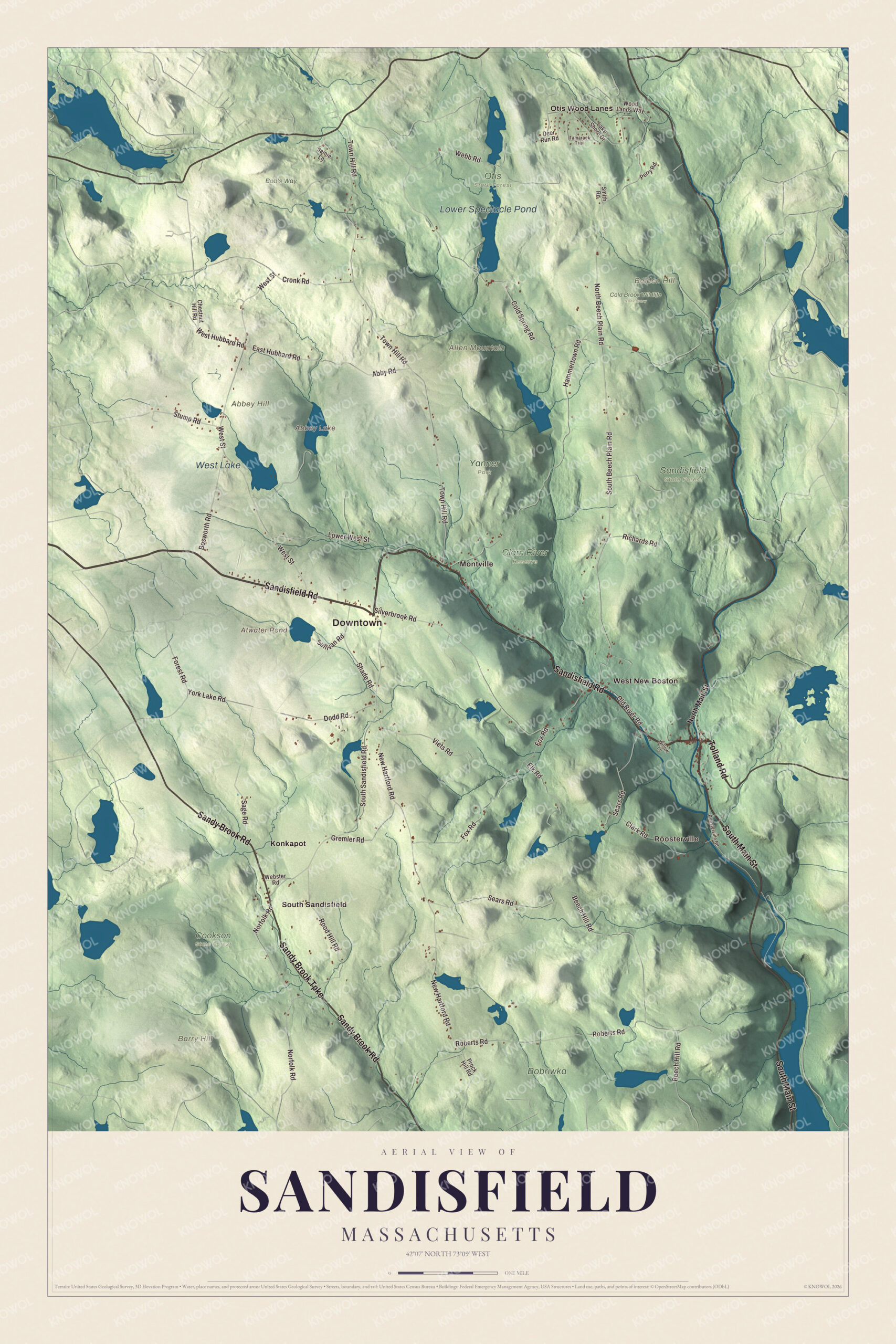
Click to explore a larger preview. The digital watermark does not appear on printed maps.
Names on this map
These names are printed on this map.
Places: Downtown, Roosterville, Abbey Hill, Allen Mountain, Barry Hill, Belden Hill, Abbey Lake, Atwater Pond, Lower Spectacle Pond, West Lake, Bob's Way, Bobriwka, Clam River Reserve, Cold Brook Wildlife Sanctuary, Cookson State Forest, Otis State Forest, Sandisfield State Forest, Yanner Park, Konkapot, Montville, Otis Wood Lanes, South Sandisfield and West New Boston.
Streets and roads: Sandisfield Road, Tolland Road, South Main Street, Sandy Brook Road, Sandy Brook Turnpike, Old River Road, South Beech Plain Road, Forest Road, East Hubbard Road, Beech Hill Road, West Hubbard Road, New Hartford Road.
More street names, A to Z
Abby Road, Bosworth Road, Chestnut Hill Road, Clark Road, Cold Spring Road, Cronk Road, Deer Run Road, Dodd Road, Elk Road, Fox Road, Gremler Road, Hammertown Road, Jamie Lane, Lake Shore Drive, Lower West Street, Norfolk Road, North Beech Plain Road, North Main Street, Perry Road, Prock Hill Road, Richards Road, Roberts Road, Rood Hill Road, Roosterville Road, Sage Road, Sears Road, Shade Road, Silverbrook Road, Smith Road, South Sandisfield Road, Stump Road, Sullivan Road, Tamarack Trail, Town Hill Road, Viets Road, Webb Road, Webster Road, West Street, Willow Lane, Wood Lands Way, York Lake Road.
See it on a wall
The Sandisfield map as a framed print. Swipe for more.


Around the map
Start with Roosterville. Follow Sandisfield Road, Tolland Road, South Main Street, Sandy Brook Road, Sandy Brook Turnpike and Old River Road across town. Then look outward toward Konkapot, Montville, Otis Wood Lanes and South Sandisfield. Abbey Lake, Atwater Pond, Lower Spectacle Pond, West Lake, Sandy Brook, Old River, Abbey Hill, Allen Mountain and Barry Hill are all printed on the map. Pieces of Sandisfield State Forest are scattered across town, and Abbey Hill, at 1,810 feet, is the town’s highest point, in the northwest part of the forest. The forest’s York Lake was made from swampy ground by the Civilian Conservation Corps in 1935 and has a swimming beach, and anglers also fish West Lake and Abbey Lake. The Buck and Clam rivers run through town to the Farmington. The volunteer Sandisfield Times has come out 11 times a year since 2009; the writer Simon Winchester founded it and works as its editor and a reporter.
The Sandisfield map makes a fine addition to an office, library or den, and it can help teach children the geography and history of a hill town on the Connecticut line. It’s made for people who call Sandisfield home, from Roosterville to South Sandisfield, and it shows the town as it looks today. Zoom in on the preview above to explore the details, then click here to get your copy of the Sandisfield, Massachusetts map.

Sources