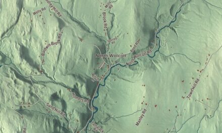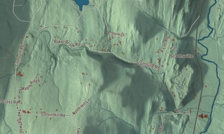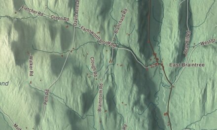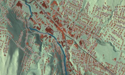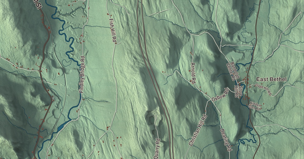
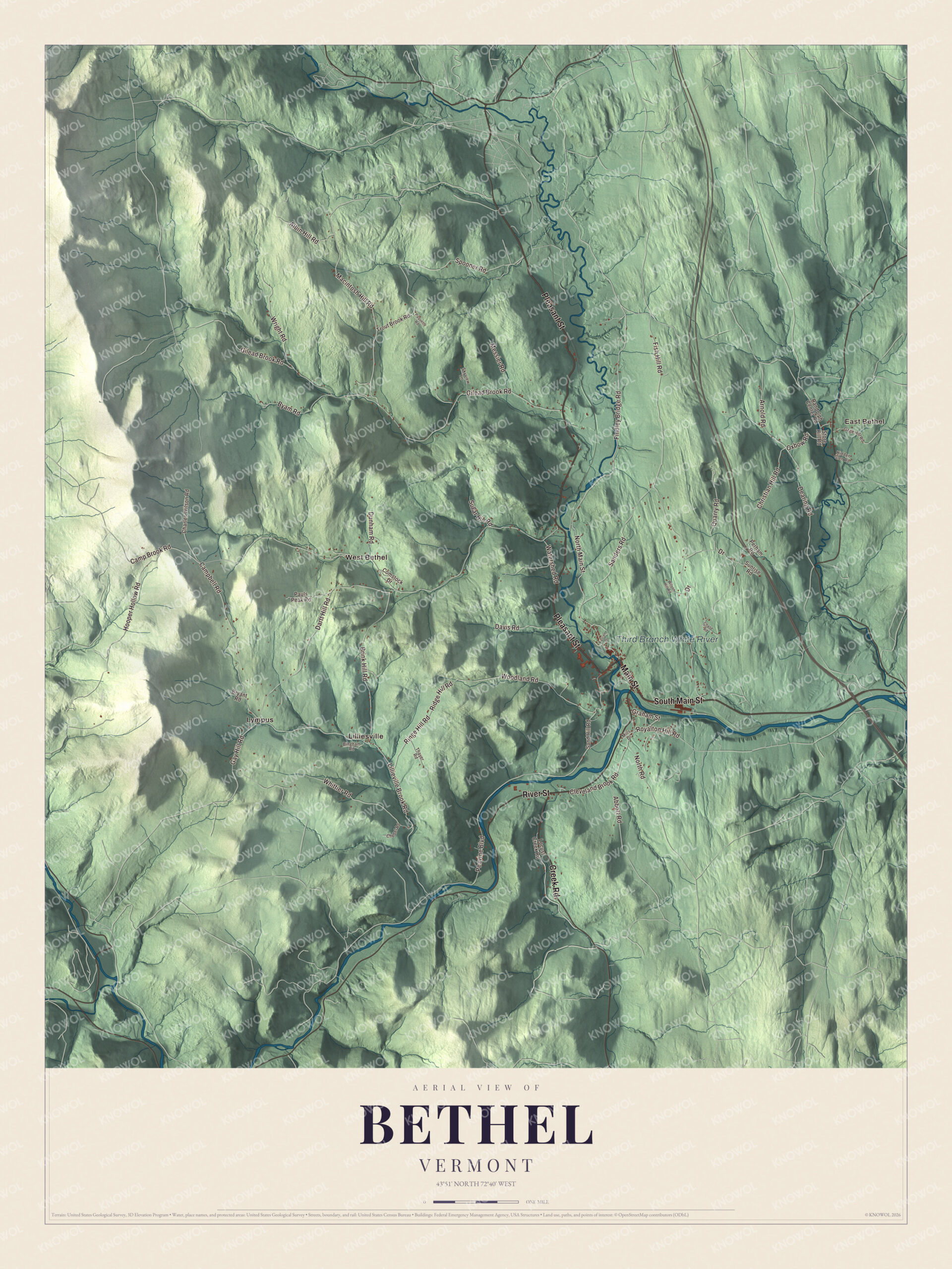
Bethel village sits where the Third Branch comes down from the north to meet the White River, and Vermont Routes 12 and 107 part ways there. This map prints the Third Branch White River, East Bethel and Lilliesville, Lympus and West Bethel, and Pleasant Street, Main Street, River Street, South Main Street, Creek Road and Findley Bridge Road.
Bethel is in Windsor County, in the White River valley.
KNOWOL made this map in 2026 from public survey data and gave it the look of an old atlas. The shaded terrain comes from United States Geological Survey elevation data, with the valleys of the White River and the Third Branch cutting through the hills. The roads and the town line come from the Census Bureau. Bethel covers 45.4 square miles, and it had 1,942 people at the 2020 census. Click here to purchase a print of this map for your wall.
A night on the rocks
Bethel was the first town created by the independent Republic of Vermont, in 1779. Its name comes from a story about one of its founders. Dudley Chase, one of the grantees, was out surveying with a group of men, and they camped near what’s now the entrance to Gilead Brook Road, by a cluster of big moss-covered rocks. They slept on the rocks, and in the morning Chase said it was the best night’s sleep he’d had, like Jacob in the Bible, who slept in a field with a stone for a pillow and named the place Beth-el, House of God. His companions liked the comparison enough to give the town the same name.
The town’s page says Bethel is best known for Bethel White granite, which went into Washington Union Station and the National Museum of Natural History in Washington. The river had its name long before that: the Abenaki called it Wôbatekw, the clear stream, and settlers turned the idea into English as the White River, for its clear water and white rapids. Stephen Thomas was born in Bethel in 1809 and became colonel of the 8th Vermont Infantry. He received the Medal of Honor for a desperate hand-to-hand fight at Cedar Creek, Virginia, in 1864, later served as lieutenant governor, and in 1914, on the battle’s 50th anniversary, his regiment placed a marker at his birthplace in Bethel-Gilead. The baseball players Harry Burrell and Pat Putnam were born here too.
Since 2016 the town has worked on bringing its downtown back. Each fall the Bethel Better Block event fills the village with pop-up shops and street art, each winter Bethel University lets neighbors teach and learn from each other, and a 2017 grant from the Vermont Arts Council paid for a trout mural, lamp post banners by a local artist, and sculpture benches.
Click to explore a larger preview. The digital watermark does not appear on printed maps.
Names on this map
These names are printed on this map.
Places: East Bethel, Third Branch White River, Lilliesville, Lympus and West Bethel.
Streets and roads: Pleasant Street, Main Street, River Street, Creek Road, South Main Street, Findley Bridge Road, North Main Street, Gay Hill Road, Gilead Brook Road, Macintosh Hill Road, Lillieville Brook Road, Quarry Road.
More street names, A to Z
Abbott Road, Albin Hill Road, Arnold Road, Bingham Road, Brink Hill Road, Bryant Road, Byam Road, Campbell Road, Camp Brook Road, Charles Wilson Road, Chase Road, Chedel Road, Christian Hill Road, Cleveland Brook Road, Comstock Drive, Dartt Hill Road, Davis Road, Dearing Road, Drive, Dunham Road, Falcon Drive, Fish Hill Road, Gage Hill Road, Graham Street, Hidden Glen Road, Hooper Hollow Road, Locust Creek Road, Messier Road, Mills Drive, North Road, Oxbow Road, Paquette Road, Pauls Peak Road, Peavine Boulevard, Perham Road, Randolph Center Road, Ridge Hill Road, Ringe Hill Road, Royalton Hill Road, Sanders Road, Sand Hill Road, Skyview Lane, Spooner Road, Store Hill Road, Sugar Hill Road, Sunrise Road, Thayer Road, Trout Brook Road, Watershed Road, Whittier Road, Wilson Hill Road, Woodland Road, Wright Road.
See it on a wall
The Bethel map as a framed print. Swipe for more.


Up the valleys
The White River comes into Bethel from Stockbridge, flowing northeast beside Vermont Route 107, and the Third Branch of the White River joins it from the north at the village. Routes 12 and 107 split there: Route 12 heads north up the Third Branch valley toward Randolph, and Route 107 heads southwest up the White River valley toward Stockbridge. East of the village the two run together down the valley into Royalton. Interstate 89 crosses the town with Exit 3, and Amtrak’s Vermonter runs through on the New England Central Railroad, though it doesn’t stop here.
The town takes in Bethel village, Bethel-Gilead, East Bethel, Lilliesville, West Bethel and Lympus, which was once called Olympus. East Bethel and Lilliesville, Lympus and West Bethel are all printed on the map, along with Creek Road, South Main Street and Findley Bridge Road.
This map of Bethel looks right at home in an office, library or den, and it can even help teach children the geography and history of a river town in the hills. It’s made for everyone who calls Bethel home and shows the town as it looks today, from Lympus to East Bethel. KNOWOL created it in 2026, and it’s printed on museum quality archival paper. Zoom in on the preview above to explore the details, then click here to get your copy of the Bethel, Vermont map.

Sources