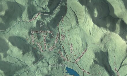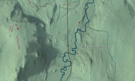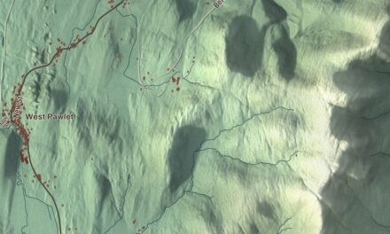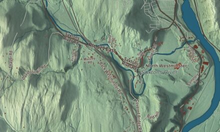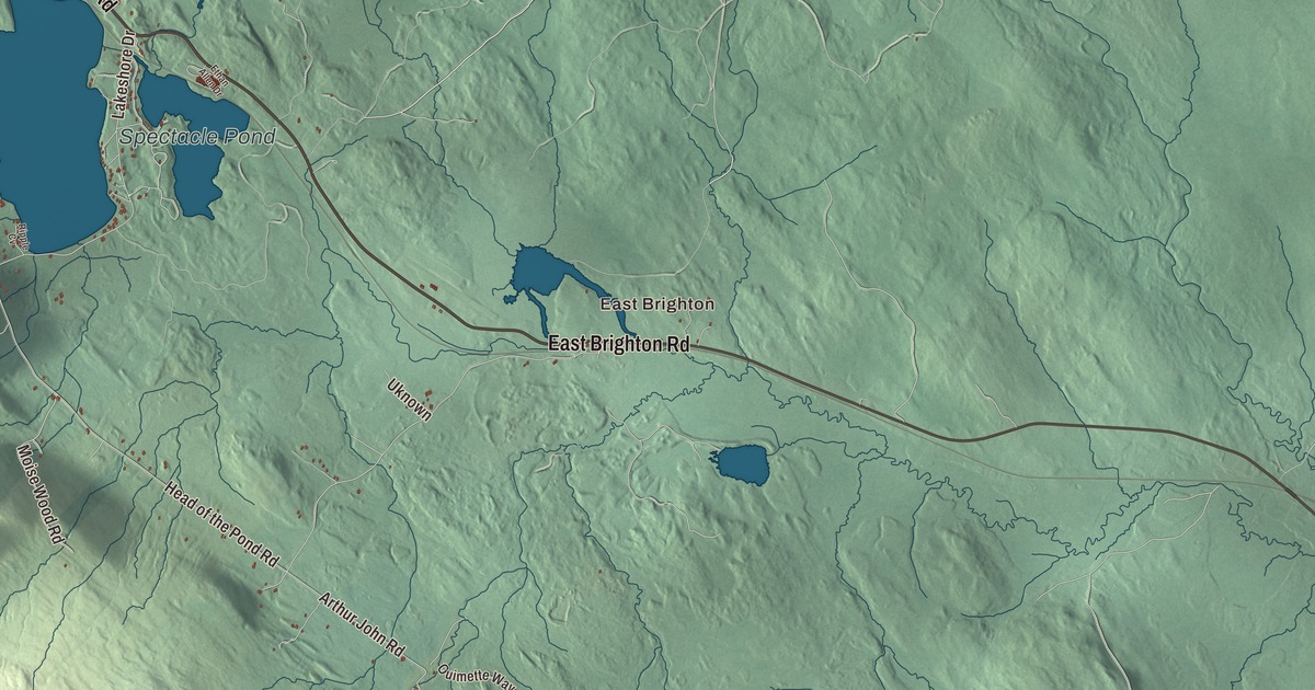
If you grew up in Island Pond, you know where Railroad Street and Derby Street meet, and how the lake stretches south from the end of the village. This map prints Island Pond and the smaller Spectacle Pond and McConnell Pond, East Brighton out on its own, and Charleston Road, Railroad Street, Derby Street, East Brighton Road, East Haven Road and Norton Road.
Brighton is a town in western Essex County, Vermont.
KNOWOL made this map in 2026 from public survey data and gave it the look of an old atlas. Its shaded terrain comes from United States Geological Survey elevation data, which picks out Bluff Mountain in the north of town, whose southern summit reaches 2,789 feet and looks down on the lake and its island. The roads and the town line come from the Census Bureau. Brighton had 1,157 people at the 2020 census, and Island Pond, the village at the north end of the lake, is its main community. Click here to purchase a print of this map for your wall.
Gilead, Random and Brighton
The town has gone by three names. Its first grant, in 1780, called it Gilead. Vermont’s grant of August 13, 1781, made it Random, and John Hayward’s 1849 gazetteer says the name came from the Hon. Joseph Brown, because the land was a random purchase from an agent sent to Providence. Another account says the buyers were mostly soldiers who had served under Colonel Joseph Nightingale. Settlement came late, in the 1820s, and Hayward names Enos Bishop as the first to begin it. The town organized in March 1832, and on November 3 of that year the legislature changed Random to Brighton.
The lake had names before any of them. The Abenaki called it Menanbawk, which means island pond. Settlers renamed it Knowlton Pond for Luke Knowlton, the surveyor who helped lay out the town, and Hayward still wrote “Knowlton Lake” in 1849. In time the old meaning won out, and both the lake and the village took the name Island Pond. The Clyde River flows out of its north end toward Charleston, and through it most of Brighton drains north to Lake Memphremagog and the St. Lawrence. The east side of town drains the other way, to the Connecticut, mostly by the Nulhegan River.
Halfway between Montreal and Portland
In 1853 the Grand Trunk Railway linked Montreal with Portland, Maine, and Island Pond was the halfway point on the line. It became a busy railroad town with a roundhouse, shops and everything else it took to run the trains. The Grand Trunk passed to the Canadian government in 1923 and ran on as the Canadian National Railways, and the United States Border Patrol kept a station in the village from 1931 until after World War II. Its days as a major railroad town were over by the late 1950s, when steam locomotives went out, and the roundhouse had closed by 1966. Trains still come through: the St. Lawrence and Atlantic Railroad runs on the old line today.
Island Pond has sent a few names out into the world. Rudy Vallée, the singer, bandleader and radio host, was born here on July 28, 1901, and grew up to be one of the first modern pop stars of the teen idol kind. In 1957 Brighton gave New York its Christmas tree, a 67-foot white spruce chosen from the town for Rockefeller Center.
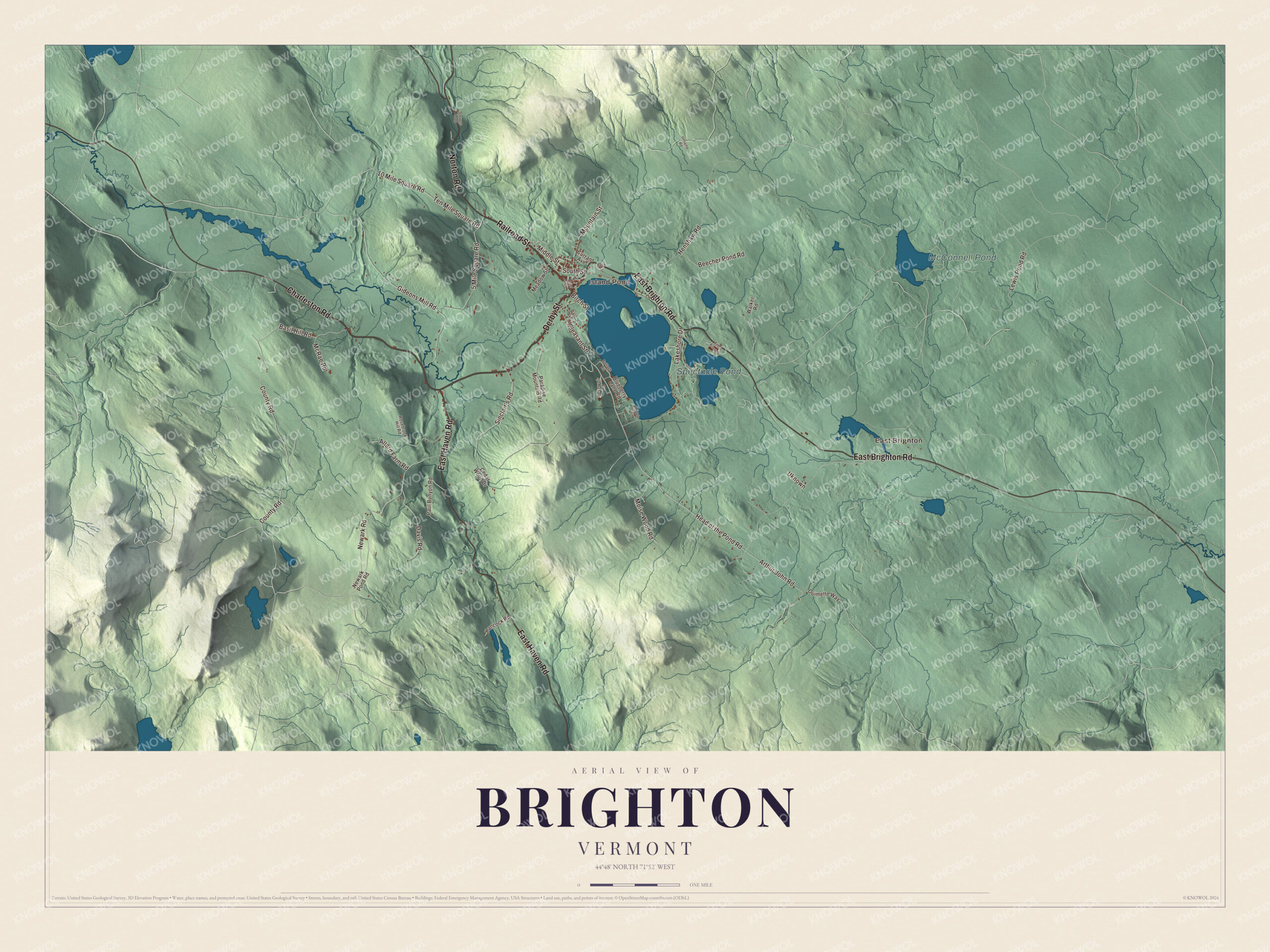
Click to explore a larger preview. The digital watermark does not appear on printed maps.
Names on this map
These names are printed on this map.
Places: East Brighton, Island Pond, Spectacle Pond and McConnell Pond.
Streets and roads: Charleston Road, Railroad Street, Derby Street, East Brighton Road, East Haven Road, Norton Road, Henshaw Road, Sinclair's Road, Moise Wood Road, 10 Mile Square Road, County Road, Arthur John Road.
More street names, A to Z
5 Mile Square Road, Alder Street, Allard Farm Road, Back Street, Basil Hill Road, Beecher Pond Road, Birch Street, Blueberry Lane Road, Cedar Wood Drive, Cottage Road, Curran Avenue, Dale Avenue, Davis Road, Ethan Allen Drive, Gideons Mill Road, Hancock Road, Head of the Pond Road, Lakeshore Drive, Lewis Pond Road, McRae Road, Meadow Street, Middle Street, Mountain Street, Newark Pond Road, Newark Road, Ouimette Way, Paradise Mountain Road, Paul Bunyon Road, Pleasant Street, Reservoir Road, Ripple Cv, Rosebrook Hill Road, South Street, Stevens Loop, Ten Mile Square Road, Uknown, Unname Road, Walker Road.
See it on a wall
The Brighton map as a framed print. Swipe for more.


Around the ponds
Island Pond is Brighton’s largest body of water. Vermont Routes 114 and 105 run together through the village as Derby Street. Route 114 heads north as Railroad Street, 16 miles to the Canadian border at Norton, and Route 105 heads east as East Brighton Road, 16 miles to Bloomfield on the Connecticut River. Just east of the lake lies Spectacle Pond, a kettle lake only 8 to 10 feet deep. Brighton State Park keeps its campground on the 102-acre Spectacle Pond, with its day beach on Island Pond half a mile away, and the state’s 15-acre Spectacle Pond Natural Area protects a natural stand of mature red pines, a tree that’s uncommon in Vermont.
In winter the Brighton Snowmobile Club keeps up 130 miles of trails. East Brighton, McConnell Pond, Charleston Road, East Haven Road and Norton Road are printed on the map as well.
This map of Brighton would look right in an office, library or den, and it can even help teach children the geography and history of a railroad town in the north woods. It’s made for everyone who calls Brighton home and shows the town as it looks today, from Island Pond village to East Brighton. KNOWOL created it in 2026, and it’s printed on museum quality archival paper. Zoom in on the preview above to explore the details, then click here to get your copy of the Brighton, Vermont map.

Sources