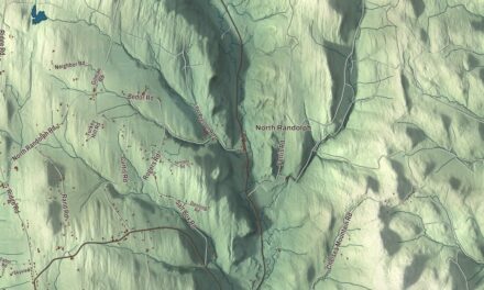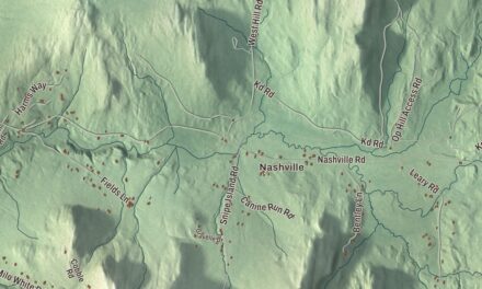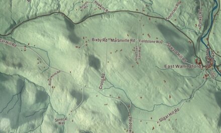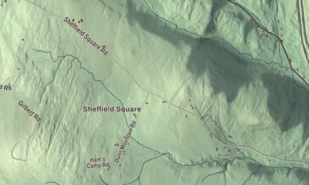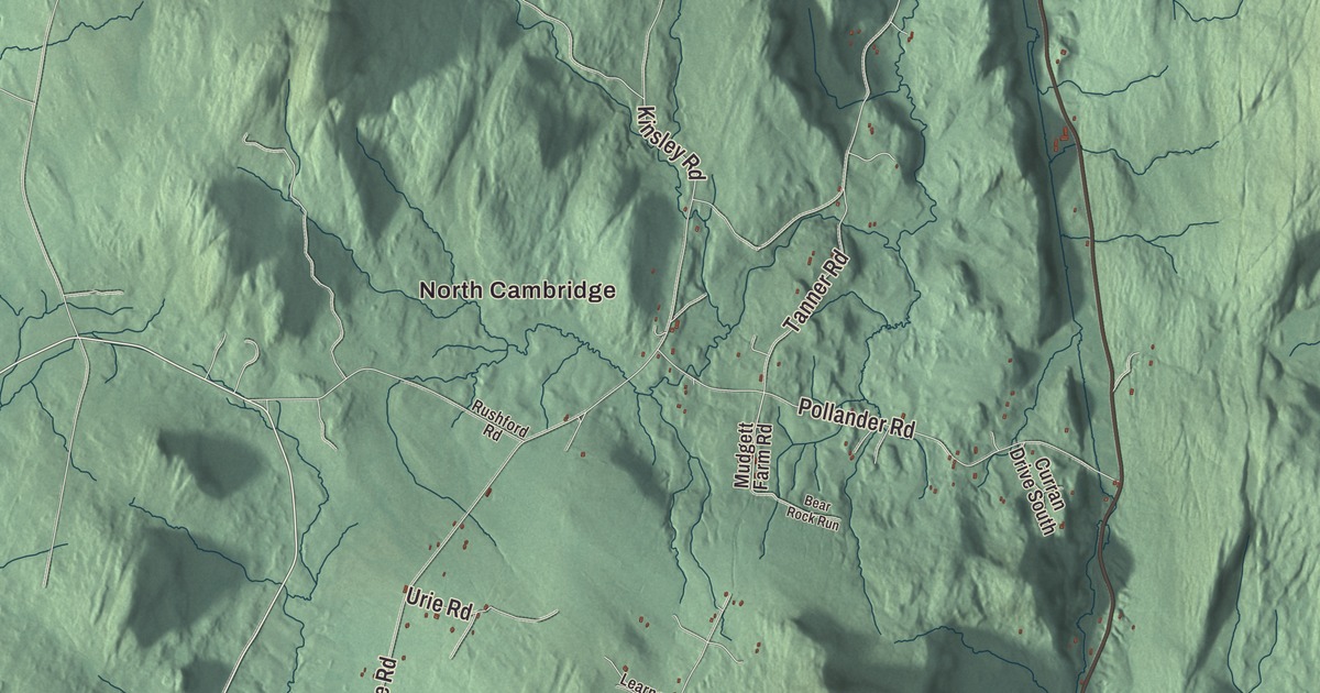
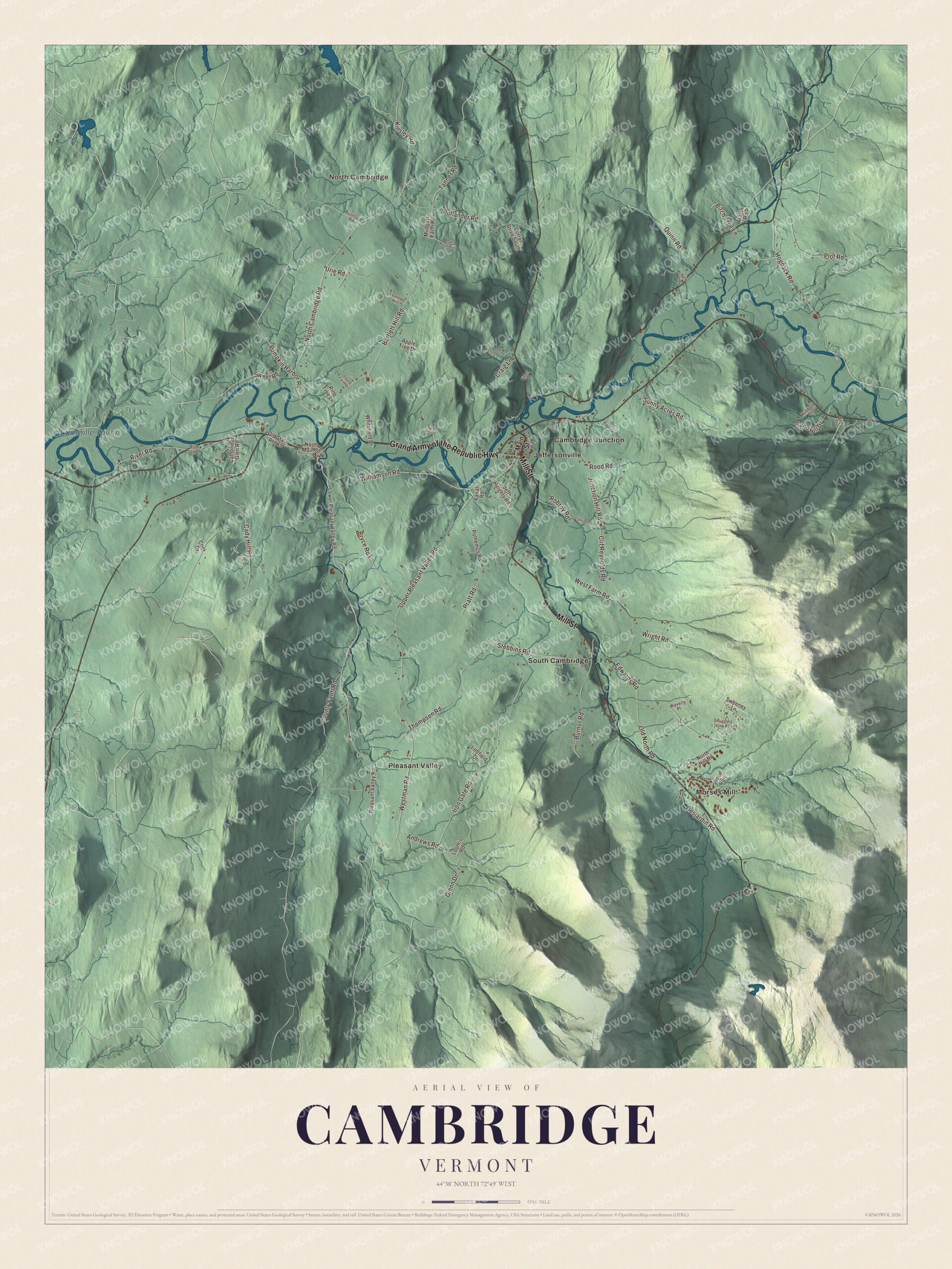
In Cambridge the Lamoille River runs right across the middle of town, past Jeffersonville and Cambridge village, with Smugglers Notch rising to the south. This map prints the Lamoille River, Jeffersonville, North Cambridge, South Cambridge, Cambridge Junction, Pleasant Valley and Morses Mill, and the Grand Army of the Republic Highway, Mill Street, Upper Pleasant Valley Road, Pumpkin Harbor Road, River Road and Junction Hill Road.
Cambridge is a town in western Lamoille County, Vermont.
KNOWOL made this map in 2026 from public survey data and gave it the look of an old atlas. The shaded terrain comes from United States Geological Survey elevation data, from the river bottoms up to the crest of the Green Mountains in the south of town, and the roads and the town line come from the Census Bureau. Cambridge had 3,839 people at the 2020 census. Click here to purchase a print of this map for your wall.
The King’s College Tract
Before Vermont existed, Cambridge and its neighbor Johnson were the King’s College Tract, created in 1764 by Lieutenant Governor Cadwallader Colden on the authority of King George III and set aside for a future university. The name Cambridge calls up the English university, and Johnson was named for William Samuel Johnson. Vermont granted the town on November 7, 1780, and chartered it in August 1781 to Samuel Robinson, John Fassett Jr., Jonathan Frost and 64 others. John Safford of Piermont, New Hampshire, settled first, in 1783. Fassett, a Green Mountain Boys officer and one of the first judges of the Vermont Supreme Court, moved to Cambridge in 1785.
The valleys were good but rough, best for grazing, and by 1839 the town kept about 7,000 sheep. The Lamoille turned the mills: a woolen factory, a tannery, a gristmill and several sawmills and cabinet shops. Later the St. Johnsbury and Lake Champlain Railroad and the Burlington and Lamoille Railroad both came through town, and the old St. Johnsbury line is now the Lamoille Valley Rail Trail.
Jeffersonville and the covered bridges
Jeffersonville, near the center of town, sits on fertile bottomland where the Brewster River comes north out of Smugglers Notch to meet the Lamoille. It first went by Cambridge Center and grew up in the early 19th century around the Brewster’s water power, and in 1827, by the village page’s account, it was renamed for Thomas Jefferson. The Jeffersonville Historic District, listed in 1987, keeps 67 buildings along Church Street and Main Street, many of them Greek Revival houses from the village’s 19th-century growth. Cambridge village lies to the west, where the Seymour River comes north to the Lamoille.
Two covered bridges built by George W. Holmes still stand. The Poland Covered Bridge of 1887 carries Cambridge Junction Road across the Lamoille just east of Jeffersonville, and a newspaper of 1888 complained that the town’s taxpayers would call it “The Bridge of Sighs.” The Gates Farm Covered Bridge, built in 1897, was the last bridge of the historic covered-bridge era to use the Burr arch design. It first carried Route 15 a few hundred feet downstream as the “Little Covered Bridge,” and in 1950, when the Seymour River was moved, it was carried to the Gates farm so the family could still reach its fields across the new channel.
Click to explore a larger preview. The digital watermark does not appear on printed maps.
Names on this map
These names are printed on this map.
Places: North Cambridge, Lamoille River, Cambridge Junction, Jeffersonville, Morses Mill, Pleasant Valley and South Cambridge.
Streets and roads: Grand Army of the Republic Highway, Mill Street, Upper Pleasant Valley Road, Pumpkin Harbor Road, River Road, Junction Hill Road, Andrews Road, Pratt Road, Old North Road, North Cambridge Road, Iron Gate Road, Hogback Road.
More street names, A to Z
Apple Tree Drive, Bartlett Hill Road, Bear Rock Run, Bertrand Lane, Birch Tree Lane, Blue Jay Drive, Bryce Road, Burnor Road, Cady Hill Road, Cambridge Glen Road, Canyon Road, Clif Reynolds Road, Cook Drive, County Farm Road, Craig Lane, Curran Drive South, Desjardin Road, Edwards Road, Fisher Road, Fox Hill Drive, Glenn Drive, Hubbard Drive, Hunt Drive, Jeff Heights Road, Kinsley Road, Learned Hill, Loftfield Drive, Loomis Road, Lower Pleasant Valley Road, Main Street, Marsh Road, McNally Drive, Mudgett Farm Road, North Hill Drive, North Main Street, Old Farm Drive, Old State Route 15, Pine Tree Lane, Pleasant Valley Road, Plot Road, Polhemus Road, Pollander Road, Quinn Road, Robtoy Road, Rood Road, Rushford Road, Sand Hill Drive, Smugglers View Road, Stebbins Road, Sunny Acres Road, Sweeney Lane, Sweet Road, Tanner Road, Thompson Road, Urie Road, Vanat Road, Waverly Place, West Farm Road, Westman Road, Whitefield Drive, Williamson Road, Wood Run, Wright Road, Young Farm Drive.
See it on a wall
The Cambridge map as a framed print. Swipe for more.


Smugglers Notch
The Brewster River begins in Smugglers Notch, at the crest of the Green Mountains in the southern tip of town. The notch got its name after the Embargo Act of 1807 cut off American trade with Britain and Canada, and Vermonters carried goods and drove livestock through it from Canada anyway, hiding in its caves. Later, people escaping slavery used the notch on the Underground Railroad, on their way to freedom in Canada. Today Smugglers’ Notch Resort, founded in 1956 by a group of Vermont skiers near Jeffersonville, is the town’s largest employer, and its vertical drop is the third largest in Vermont.
Lucy Wheelock was born in Cambridge in 1857, where her father was a pastor for many years. She became a leader of the American kindergarten movement and founded the Wheelock Kindergarten Training School in Boston, which grew into Wheelock College. North Cambridge, South Cambridge, Pleasant Valley, Morses Mill and the town’s roads, among them Upper Pleasant Valley Road, Pumpkin Harbor Road and Junction Hill Road, are all printed on the map.
This map of Cambridge would suit an office, library or den, and it can even help teach children the geography and history of a river town under the mountains. It’s made for everyone who calls Cambridge home and shows the town as it looks today, from Cambridge Junction to the foot of the notch. KNOWOL created it in 2026, and it’s printed on museum quality archival paper. Zoom in on the preview above to explore the details, then click here to get your copy of the Cambridge, Vermont map.

Sources
- Cambridge, Vermont, Wikipedia
- Town histories and representatives, C towns, Vermont Legislature
- John Fassett Jr., Wikipedia
- Jeffersonville, Vermont, Wikipedia
- Jeffersonville Historic District, Wikipedia
- Poland Covered Bridge, Wikipedia
- Gates Farm Covered Bridge, Wikipedia
- Smugglers’ Notch State Park, Wikipedia
- Smugglers’ Notch Resort, Wikipedia
- Lucy Wheelock, Wikipedia