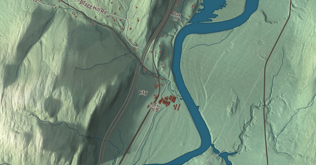
Fairlee has the Connecticut River on one side and Lake Morey tucked in the hills on the other. This map prints the lake and the village of Ely, along with Main Street, Lake Morey Road, Millpond Road, Terry Hill Road, Bald Top Road and the Maurice Roberts Memorial Highway.
Fairlee is a town in Orange County, Vermont.
KNOWOL made this map in 2026 from public survey data, laid out like a page from an old county atlas. The hills are shaded from United States Geological Survey elevation data, and the roads and the town line come from the Census Bureau. Fairlee village sits on the town’s eastern edge along U.S. Route 5, and Interstate 91 and Vermont Route 244 cross the town as well. Click here to purchase a print of this map for your wall.
The town and its inventor
Governor Benning Wentworth of New Hampshire chartered Fairlee on September 9, 1761, to Josiah Channey, Joseph Hubbard and 62 others. The first settlers came in 1766, and on February 25, 1797, the western half of the grant was set off as the town of West Fairlee. By 1859 Fairlee had 575 people, several sawmills, a gristmill and a shop making lead pipe and pumps.
Samuel Morey ran a lumber business in Orford, New Hampshire, and in Fairlee, and he worked on early steam and internal combustion engines, earning 20 patents. A roadside marker in Vermont says he ran a steamboat on the Connecticut River in 1793 and patented an internal combustion engine in 1826. Lake Morey is named in his honor, and so is the Samuel Morey Memorial Bridge, a steel arch built in 1937 and 1938 that crosses the river between Orford and Fairlee.
The railroad came up the river in 1848. The Fairlee Railroad Depot, at 320 U.S. Route 5 in the village center, was probably built that year by the Connecticut and Passumpsic Rivers Railroad, and it served until 1972. The depot’s own listing calls it one of the few first-generation station buildings left in Vermont, and the town page calls it the oldest surviving railroad structure along the Connecticut River. Down in Ely, the depot at Ely Road and Old Route 5 was built about 1900 by the Boston and Maine. The stop was first called Wares Crossing, and it takes its later name from Smith Ely, who ran a mining operation in Vershire and bought land here in 1865 for a freight depot. In the early 1900s, vacationers stepped off the train there on their way to the summer camps of Lake Fairlee.
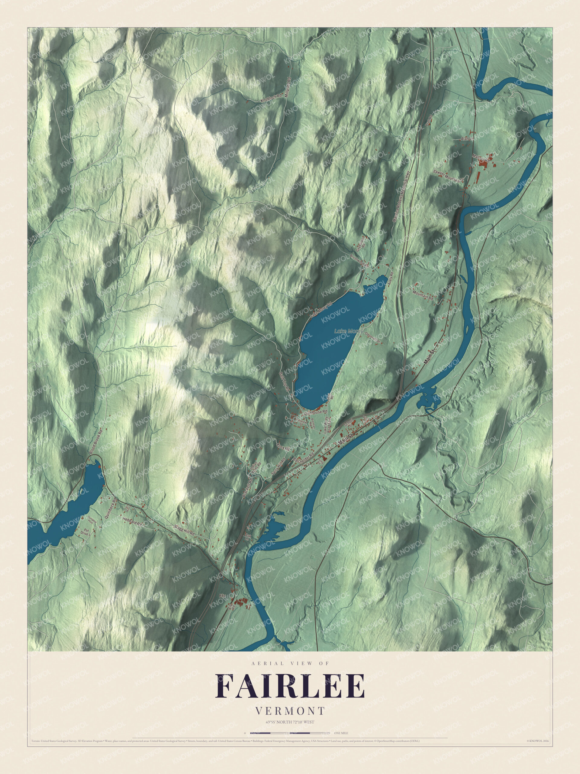
Click to explore a larger preview. The digital watermark does not appear on printed maps.
Names on this map
These names are printed on this map.
Places: Ely and Lake Morey.
Streets and roads: Main Street, Lake Morey Road, Millpond Road, Terry Hill Road, Maurice Roberts Memorial Highway, Bald Top Road, Bragg Hill Road, Quinibeck Road, Sawyer Mountain Drive, Hebbard Road, Mallary Road, Mountain Road.
More street names, A to Z
Alan Lane, Avery Road, Batchelder Road, Blood Brook Road, Brackett Road, Brennan Road, Brushwood Road, Clubhouse Road, Dump Road, Ely Road, Fairview Street, Fern Hill Lane, Gaywalden Road, Indian Acres Road, Joes Road, Knobloch Road, Knox Road, Lake Morey Road East, Oak Lane, Odonnell Drive, Pratt Road, Pvt Drive 1, Quinibeck Point, School Street, Wilcox Lane.
See it on a wall
The Fairlee map as a framed print. Swipe for more.


Camps on Lake Morey
The town page says Lake Morey claims the longest ice skating trail in the United States. Summer camps have stood on its shores for more than a century. Harriet Farnsworth Gulick and Edward Leeds Gulick founded Aloha Camp for girls on its northwestern shore in 1905, the oldest girls’ camp in the state, and gave it Hawaiian touches from Edward’s boyhood in Honolulu. Lake Morey Road divides the camp from its waterfront. In 1922 the Gulicks opened Lanakila Camp for boys at the north tip of the lake, on a farm that dates to about 1850, with buildings on both sides of the same road. Both camps are listed on the National Register of Historic Places.
Fairlee’s town hall stands on Town Common Road, just off Route 5. It was built in 1913, after a fire in December 1912 took the opera house, church, library and meetinghouse, and its auditorium still hangs the painted curtain ordered in 1912 for the old opera house. The scene on that curtain is Lake Morey.
On the map, follow Main Street through the village, then take Lake Morey Road around the lake. Millpond Road, Terry Hill Road, Bald Top Road and the Maurice Roberts Memorial Highway are printed too, and so is Ely. Fairlee dates to 1761.
This map of Fairlee is made for everyone who calls Fairlee home, and it shows the town as it looks today, from Lake Morey to the river. Hang it in an office, library or den, or use it to teach children the geography and history of their town. It’s printed on museum quality archival paper. Zoom in on the preview above to explore the details, then click here to get your copy of the Fairlee, Vermont map.

Sources