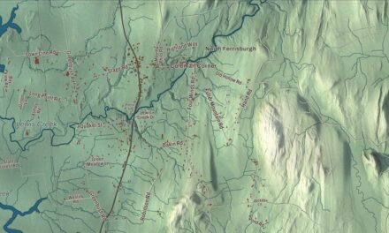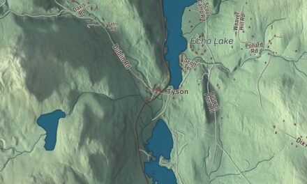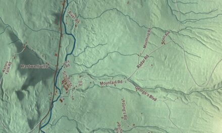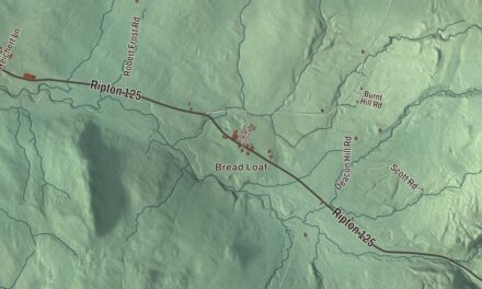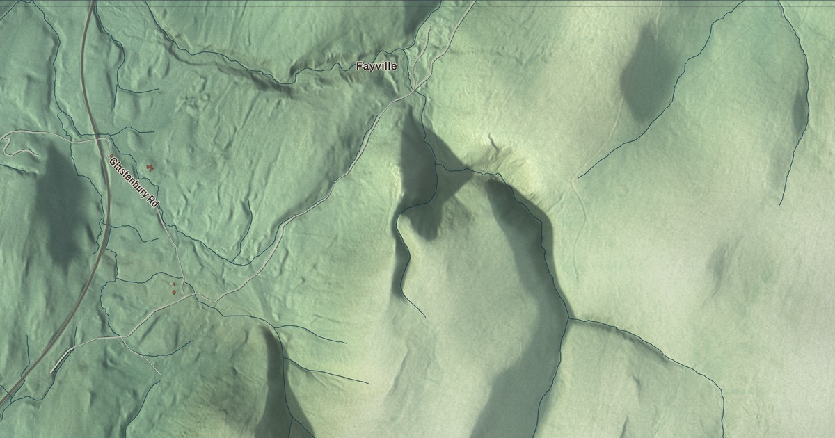
Glastenbury is mountain country, most of it national forest, with the Long Trail following the crest of the Green Mountains through it. This map prints Fayville, the town’s first settlement, along with Lost Pond, Castle Brook Road and Glastenbury Road.
Glastenbury is a town in Bennington County, Vermont.
KNOWOL made this map in 2026 from public survey data with the look of an old county atlas. The mountains are shaded from United States Geological Survey elevation data, and the roads and the town line come from the Census Bureau. Glastenbury lies in central Bennington County, between Sunderland, Shaftsbury, Woodford and Somerset. Click here to purchase a print of this map for your wall.
Fayville and the mountain railroad
New Hampshire’s governor, Benning Wentworth, granted Glastenbury on August 20, 1761, but settlers were slow to come to its rocky mountainsides. The town page says only six families lived here at the first state census in 1791, and the population reached 76 by 1810. The Vermont Legislature dates the town’s organization to March 31, 1834.
After the Civil War, business interests in Bennington wanted Glastenbury’s timber, and by 1872 they had begun a railroad up the mountain along Bolles Brook, with some stretches climbing as much as 250 feet in a mile. Two more sawmills went up in the 1870s, one at the original settlement, Fayville, and one at the end of the line, which became South Glastenbury. Dozens of kilns there turned lumber into charcoal, and the town page counts Glastenbury then as one of the three leading charcoal sites in Vermont, feeding iron works in Shaftsbury and Troy, New York. The town had 241 people by 1880, not counting the many workers who came and went.
By the late 1880s nearly all the mature trees had been cut, and the railroad shut down in 1889. In 1894 it came back as an electric passenger trolley, and a resort opened at South Glastenbury in the summer of 1898, but a freshet washed out the tracks that winter. People moved away, and in 1937 the legislature unincorporated the town. Glastenbury and Somerset are the two Vermont towns that lost their local government this way, and a state-appointed supervisor now handles Glastenbury’s affairs. The 2020 census counted 9 residents. The town page says remains of the old trolley tracks can still be seen.
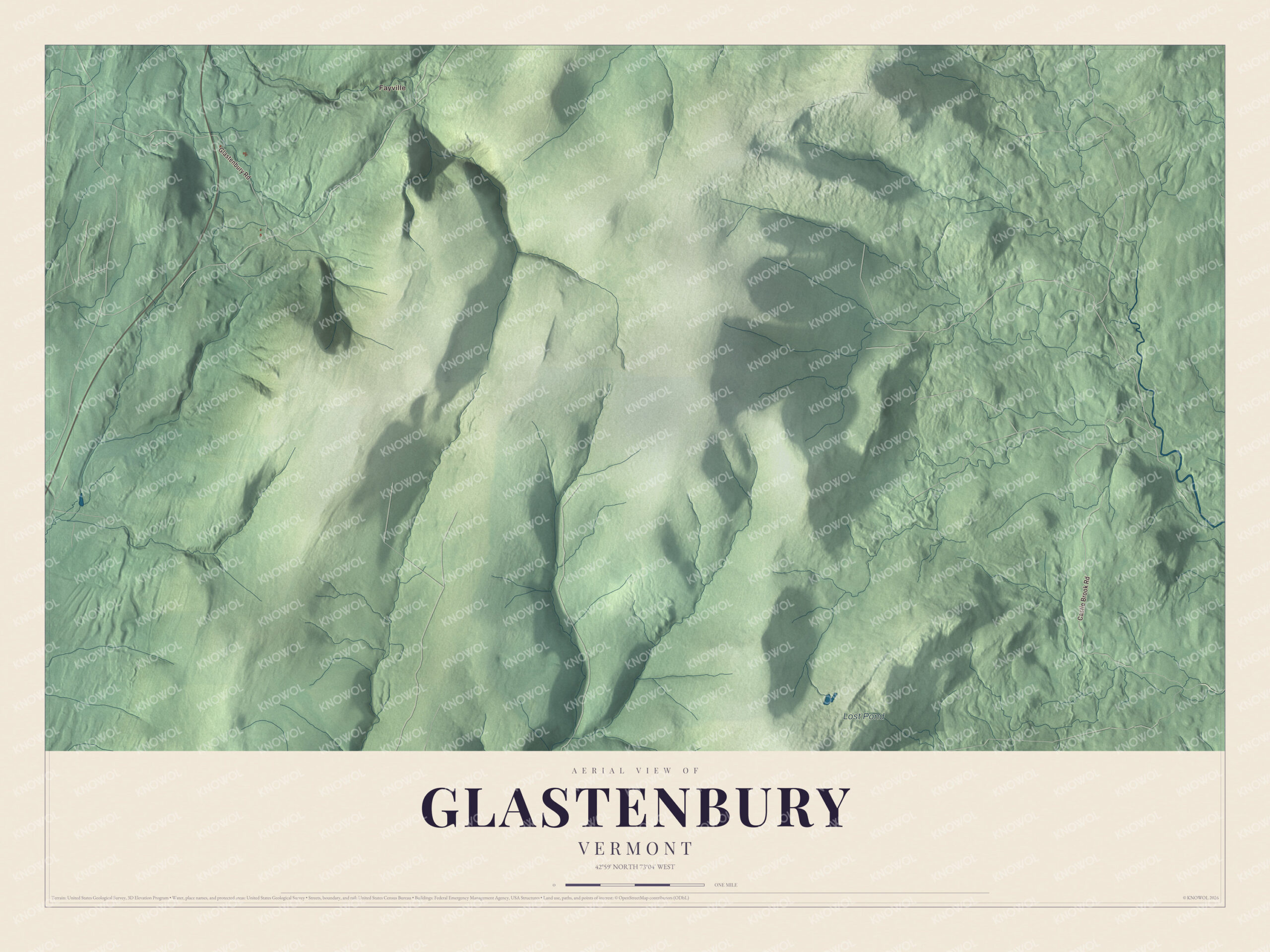
Click to explore a larger preview. The digital watermark does not appear on printed maps.
Names on this map
These names are printed on this map.
Places: Fayville and Lost Pond.
Streets and roads: Castle Brook Road and Glastenbury Road.
See it on a wall
The Glastenbury map as a framed print. Swipe for more.


Glastenbury Mountain
Glastenbury Mountain, near the middle of town, rises to 3,748 feet, the highest point in town. The Long Trail and the Appalachian Trail share the path over its summit, where the Green Mountain Club keeps an observation tower and, a short walk south, a shelter. Its slopes drain to the Glastenbury River and on to the Deerfield, to Bolles Brook and the Walloomsac, and, on the northwest side, into the Fayville Branch of Warm Brook and on to the Batten Kill.
On the map, find Fayville, then follow Castle Brook Road and Glastenbury Road into the hills. Lost Pond is labeled on the map too. Glastenbury dates to 1761.
This map of Glastenbury is made for everyone who calls Glastenbury home, or who has hiked its ridge, and it shows the town as it looks today. Hang it in an office, library or den, or use it to teach children the geography and history of the area. It’s printed on museum quality archival paper. Zoom in on the preview above to explore the details, then click here to get your copy of the Glastenbury, Vermont map.

Sources