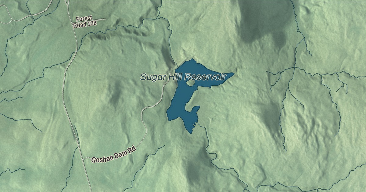
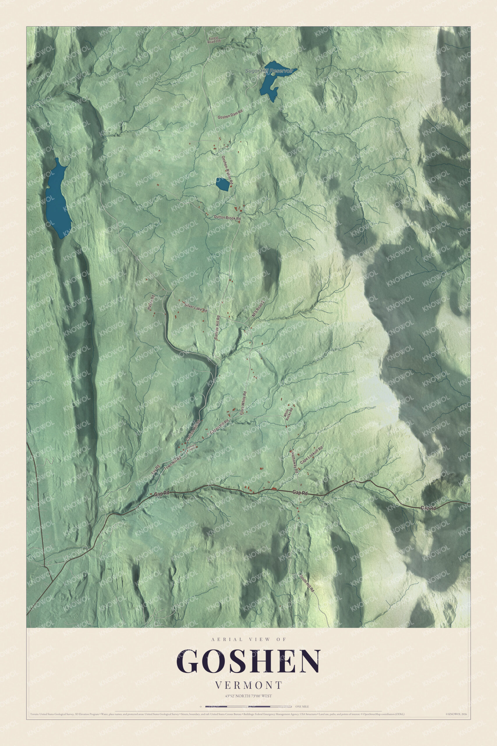
Goshen is a small mountain town, 172 people at the 2020 census, set in the Green Mountains of southern Addison County. This map prints its back roads, Gap Road, Town Hill Road, Carlisle Hill Road, Flora White Road, Capen Hill Road and the Goshen-Ripton Road, and the Sugar Hill Reservoir.
Goshen is a town in Addison County, Vermont.
KNOWOL made this map in 2026 from public survey data and gave it the look of an old county atlas, with the mountains shaded from United States Geological Survey elevation data and the roads and town line from the Census Bureau. Goshen borders Leicester, Salisbury, Ripton and Hancock in Addison County, Rochester in Windsor County, and Chittenden and Brandon in Rutland County, and most of it lies within the Green Mountain National Forest. Click here to purchase a print of this map for your wall.
Two charters and a mountain gap
Vermont granted Goshen on February 23, 1782, chartered it on February 2, 1792, and issued a new charter on November 1, 1798, according to the Vermont Legislature. The town organized on March 29, 1814, and sent Phineas Blood as its first representative the next year. Its settlements are Goshen, near the western border, and Goshen Four Corners, in the middle of the south part of town.
Vermont Route 73 runs east and west through Goshen Four Corners and climbs over the crest of the Green Mountains at Brandon Gap, near the town’s eastern line. There the Long Trail, the oldest long-distance trail in the United States, crosses the highway and climbs over Mount Horrid and Cape Lookoff Mountain. Peregrine falcons nest in the Great Cliffs of Mount Horrid, and a trail leads hikers up to them. Goshen Mountain stands in the southeast corner of town.
Click to explore a larger preview. The digital watermark does not appear on printed maps.
Names on this map
These names are printed on this map.
Places: Sugar Hill Reservoir.
Streets and roads: Gap Road, Town Hill Road, Carlisle Hill Road, Flora White Road, Capen Hill Road, Goshen-Ripton Road, South Hill Road, Silver Lake Road, Hathaway Road, Dutton Brook Road, Goshen Dam Road, Fay Road.
More street names, A to Z
Cape Lookoff Road, Cemetery Hill Road, Forest Road 106, Hayes Road, NFS Road 2, White Rocks Road.
See it on a wall
The Goshen map as a framed print. Swipe for more.


Ruth Stone’s house
In 1957 the poet Ruth Stone moved into an old farmhouse on Hathaway Road in Goshen, bought with money from a poetry prize and a fellowship. The house, built about 1830, became her refuge and, over the years, a gathering place for her students and other poets. Recognition came late. In her 80s she won the National Book Critics Circle Award for Ordinary Words in 1999 and the National Book Award for In the Next Galaxy in 2002, and in 2007 she became Poet Laureate of Vermont. She was buried near the raspberry bushes behind her Goshen home. The Ruth Stone House was listed on the National Register of Historic Places in 2016, and a foundation led by her granddaughter, the poet Bianca Stone, runs it as a writers’ retreat. Bianca Stone became Poet Laureate of Vermont herself in 2024.
Goshen also sent Francis G. Parks out into the world. Born in town in 1824, he taught school in Vermont, worked for the Fairbanks scale company in St. Johnsbury, and later served in the Wisconsin State Assembly.
On the map, start with Gap Road, then follow Town Hill Road, Carlisle Hill Road, Flora White Road and Capen Hill Road across the hills, and the Goshen-Ripton Road. The Sugar Hill Reservoir is labeled on the map. Goshen dates to 1792.
This map of Goshen is made for everyone who calls Goshen home, and it shows the town as it looks today, from the reservoir to Brandon Gap. Hang it in an office, library or den, or use it to teach children the geography and history of their town. It’s printed on museum quality archival paper. Zoom in on the preview above to explore the details, then click here to get your copy of the Goshen, Vermont map.

Sources