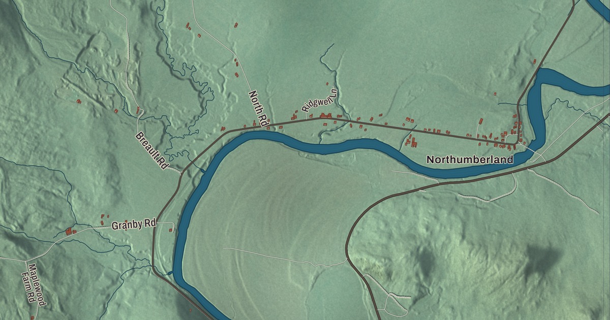
It’s pronounced GIL-hawl. Guildhall is the shire town of Essex County, a small place with a courthouse on its common and the Connecticut River at its back. This map prints Lamotte Road, Fellows Road, Granby Road, North Road, Morin Road and Breault Road, and across the river it prints Northumberland.
Guildhall is a town in Essex County, Vermont.
KNOWOL made this map in 2026 from public survey data and gave it the look of an old county atlas, shading the hills from United States Geological Survey elevation data and drawing the roads and town line from the Census Bureau. Guildhall counted 262 people at the 2020 census, and its highest point is Stone Mountain, at 2,736 feet, in the western part of town. Click here to purchase a print of this map for your wall.
A hall on the square
New Hampshire granted Guildhall on October 10, 1761. Its grantees and first settlers came from Lancaster and Lunenburg, Massachusetts, and they named towns on both banks of the Connecticut after their old hometowns; Lancaster, New Hampshire, still faces Guildhall across the river. The first recorded town meeting came in 1783, and Ward Bailey and Timothy Nash were among the town’s earliest representatives to the Vermont legislature. The historic district’s page calls Guildhall the first town settled in Vermont’s Northeast Kingdom. In the 1780s a dam went across the Connecticut beside the village and sawmills and gristmills followed; the remains of Ward Bailey’s 1787 gristmill on the riverbank are part of today’s historic district.
The town’s name comes from a meeting house on the square called the Guild Hall. Part of it was built in 1792, and the district’s page calls it the oldest commercial building in the county. In 1797 Eben Judd, who ran the mills, gave land for the common to secure the town’s place as the seat of the new Essex County. The first county courthouse followed in 1803, and today the common is framed by the 1851 Greek Revival courthouse, the 1844 Congregational church and the old jail, jailer’s house and barn from about 1880. The whole square has been on the National Register as the Guildhall Village Historic District since 1980. A large sign in the town center says Guildhall is the only town in the world with its name. Lumbering was once a big part of the local economy, and the town is still heavily wooded.
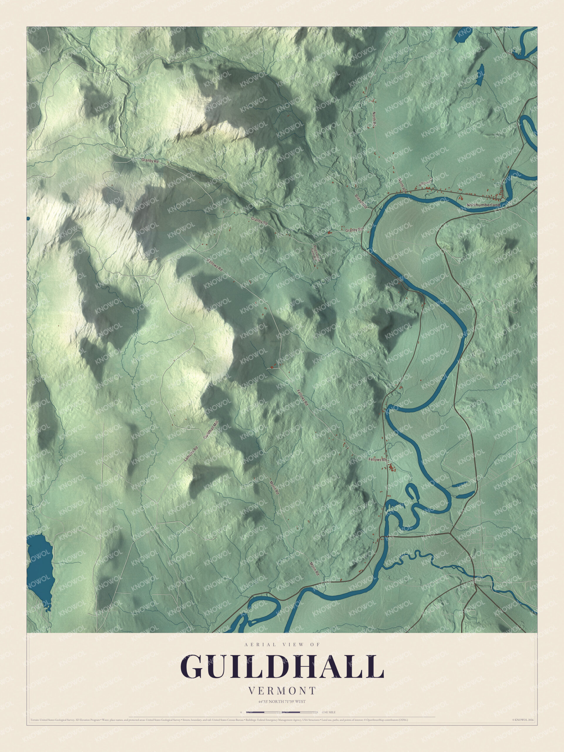
Click to explore a larger preview. The digital watermark does not appear on printed maps.
Names on this map
These names are printed on this map.
Places: Northumberland.
Streets and roads: Lamotte Road, Fellows Road, Granby Road, North Road, Morin Road, Breault Road, Guildhall Mill, Maplewood Farm Road and Ridgwell Lane.
See it on a wall
The Guildhall map as a framed print. Swipe for more.


From Guildhall to the world
Samuel Read Hall grew up here after his family moved to Guildhall when he was three. In 1823 he opened the first normal school in the United States, a school for training teachers, in Concord, Vermont, and he’s credited with inventing the blackboard. Henry Willard Denison, born in Guildhall in 1846, became a legal adviser to Japan’s Ministry of Foreign Affairs for more than thirty years and helped draft the Treaty of Portsmouth. Everett Chamberlin Benton, born here in 1862, went to work at sixteen for The Essex County Herald before going into the insurance business in Boston. And the future United States senator John S. Wells practiced law in Guildhall from 1828 to 1835.
U.S. Route 2 crosses the southern corner of town, and Vermont Route 102 follows the Connecticut north into Maidstone. On the map, Lamotte Road, Fellows Road, Granby Road, North Road, Morin Road and Breault Road are printed across town, and Northumberland is printed too. That’s the neighboring town on the far bank of the river, in New Hampshire. Guildhall dates to 1761.
This map of Guildhall is made for everyone who calls Guildhall home, and it shows the town as it looks today, from Granby Road to the Connecticut River. Hang it in an office, library or den, or use it to teach children the geography and history of their town. It’s printed on museum quality archival paper. Zoom in on the preview above to explore the details, then click here to get your copy of the Guildhall, Vermont map.

Sources
- Guildhall, Vermont, Wikipedia
- Town histories and representatives, G towns, Vermont Legislature
- Guildhall Village Historic District, Wikipedia
- Samuel Read Hall, Wikipedia
- Henry Willard Denison, Wikipedia
- Everett Chamberlin Benton, Wikipedia
- John S. Wells, Wikipedia
- Northumberland, New Hampshire, Wikipedia