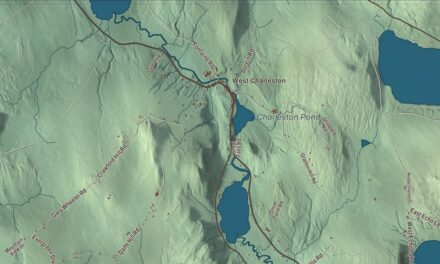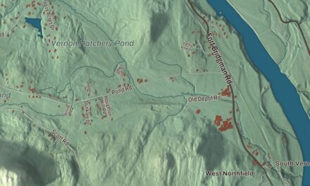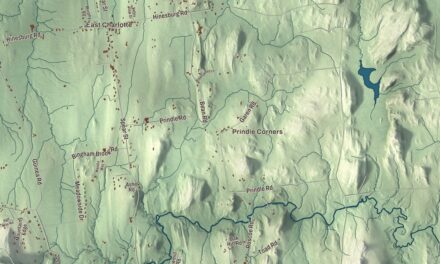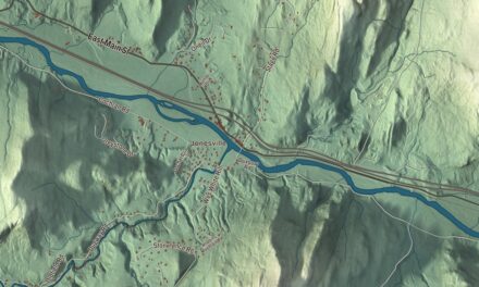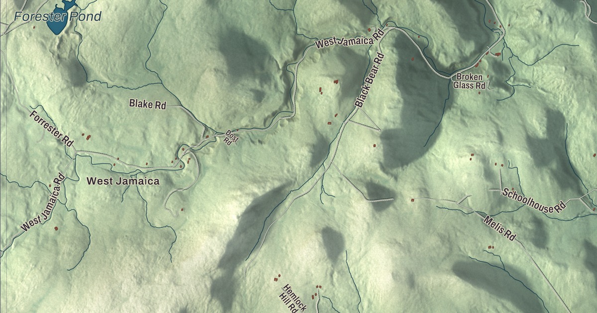
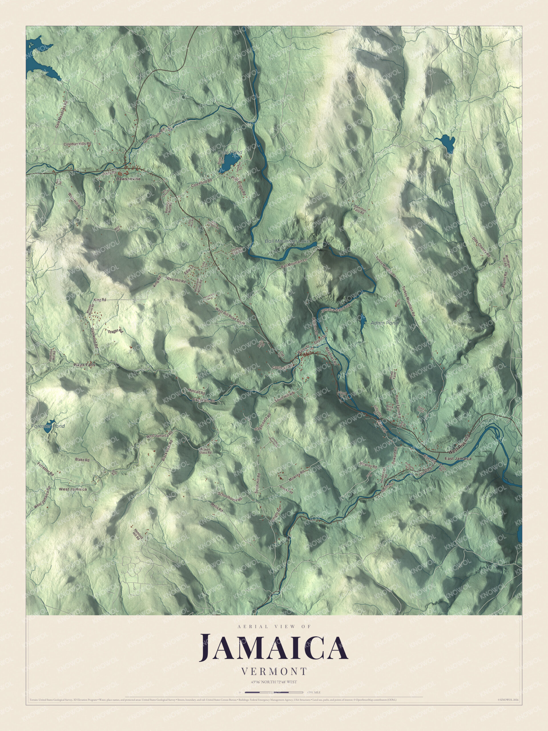
Jamaica is a West River town, and its name has nothing to do with the Caribbean. It comes from the Natick word for beaver. This map prints West River Road, King Road, Schoolhouse Road, Gale Meadows Road, Dalewood Road and West Hill Road, with West Jamaica, East Jamaica, Pikes Falls and Rawsonville, and water from Ball Mountain Lake to Cole Pond, Forester Pond and Adam Pond.
Jamaica is a town in Windham County, Vermont.
KNOWOL made this map in 2026 from public survey data and gave it the look of an old county atlas, shading the hills from United States Geological Survey elevation data and drawing the roads and town line from the Census Bureau. The original grant ran from 688 feet above sea level along the West River to 2,542 feet on The Pinnacle. Click here to purchase a print of this map for your wall.
From East Jamaica to the village
New York’s royal governor had issued grants for two towns here in 1767 and 1772, but the new Republic of Vermont set them aside and chartered Jamaica on November 7, 1780. The charter named sixty-seven grantees, and the town’s page says many of their family names are still found among residents today. The town organized on September 3, 1781, and sent William H. Church to the legislature that year. The first settlers came to the West River near the Wardsboro Bridge, now East Jamaica, where the first school opened in 1791. New roads and bridges toward Manchester drew settlement west, and by 1800 the center of town was moving to Jamaica Village. In time the town had as many as ten hamlets and fourteen one-room schools.
Jamaica Village sits near where Ball Mountain Brook meets the West River, a good place for bridges, dams and mills, and it grew into a manufacturing center in the early 1800s. Every dam along Ball Mountain Brook powered at least one mill. The first store, Noon House, opened in 1803, and it did well enough that Jamaica House was built in 1814, a stopping place for travelers halfway between Manchester and Brattleboro. Merino sheep brought good years in the early 1800s. In 1877 the West River Railroad, backed by the valley towns, opened its first stretch, from Brattleboro to Londonderry, and it carried passengers through the lower valley until the 1930s.
Click to explore a larger preview. The digital watermark does not appear on printed maps.
Names on this map
These names are printed on this map.
Places: West Jamaica, Cole Pond, Ball Mountain Lake, Forester Pond, Adam Pond, East Jamaica, Pikes Falls, Rawsonville and Jamaica State Park.
Streets and roads: West River Road, King Road, Schoolhouse Road, Gale Meadows Road, Dalewood Road, West Hill Road, Castle Hill Road, Depot Street, Pikes Falls Road, West Jamaica Road, South Hill Road, Turkey Mountain Road.
More street names, A to Z
Adams Road, Ash Lane, Ball Mountain Lane, Black Bear Road, Blake Road, Bourbon Run Road, Broken Glass Road, Brooks Road, Buck Hill, Cohen Road, Coleman Hills Road, Cole Pond Road, Craven Road, Davis Road, Diers Road, Doe Run Road, Dost Road, Eaton Road, Edie Lane, Forrester Road, Gilfeather Lane, Goodaleville Road, Hamilton Falls Road, Hamilton Hill Road, Hemlock Hill Road, Henderson Road, Howard Road, Howe Farm, Howe Farm Road, Island Lane, Jacobs Road, Knight Road, Lamphear Road South, Landman Lane, Linda Lane, Meadows Road, Melis Road, Metcalf Road, Monadnock View Lane, Mountain Acres Road, Mowrey Road, Oak Lane, Olde Cheney Road, Old Route 8, Pineapple Hill Lane, Pine Lane, Pratt Bridge Road, River Road, Rose Lane, Smith Road, Stagecoach Road, Stone Hedges Road, Stratton Gate Road, Sugar Lot Lane, Trager Road, Water Street, West Hill, West Hill Road South, Wheeler Woods Road, Wild Turkey Run, Windham Hill Road, Worden Road.
See it on a wall
The Jamaica map as a framed print. Swipe for more.


People from Jamaica
Nearly all of Jamaica’s men in the Civil War joined Company I of the 4th Vermont Infantry. Sergeant Henry W. Downs of the 8th Vermont won the Medal of Honor at Winchester, Virginia, in 1864, crossing an open field under heavy fire with one comrade to bring back ammunition, and then doing it again. Edward Fisher, born in Jamaica in 1848, became a conductor and organist in Canada and in 1886 founded the Toronto Conservatory of Music. Orion M. Barber, born here in 1857, became a judge of the United States Court of Customs Appeals, and the silent film actress Florence Lee was born in Jamaica in 1888. The town still holds its March town meeting the old way: its page says Jamaica is one of the few towns that does all its business from the floor, down to nominating candidates.
The river and the dam
Between 1957 and 1961 the Army Corps of Engineers built Ball Mountain Dam across the West River in Jamaica for flood control, an earth and gravel dam 247 feet high. It holds back Ball Mountain Lake, and its releases, usually on one weekend in April and one in September, bring whitewater boaters to the river below. Jamaica State Park, 772 acres on the West River, sits beside it. Inside the park, Hamilton Falls drops 40 to 50 feet into a pool on Cobb Brook, and the West River Trail follows the old railbed up to the dam.
On the map, follow West River Road along the river, then try King Road, Schoolhouse Road, Gale Meadows Road, Dalewood Road and West Hill Road. West Jamaica, East Jamaica, Pikes Falls and Rawsonville are printed, and so are Ball Mountain Lake, Cole Pond, Forester Pond and Adam Pond. Jamaica dates to 1780.
This map of Jamaica is made for everyone who calls Jamaica home, and it shows the town as it looks today, from East Jamaica to Ball Mountain Lake. Hang it in an office, library or den, or use it to teach children the geography and history of their town. It’s printed on museum quality archival paper. Zoom in on the preview above to explore the details, then click here to get your copy of the Jamaica, Vermont map.

Sources