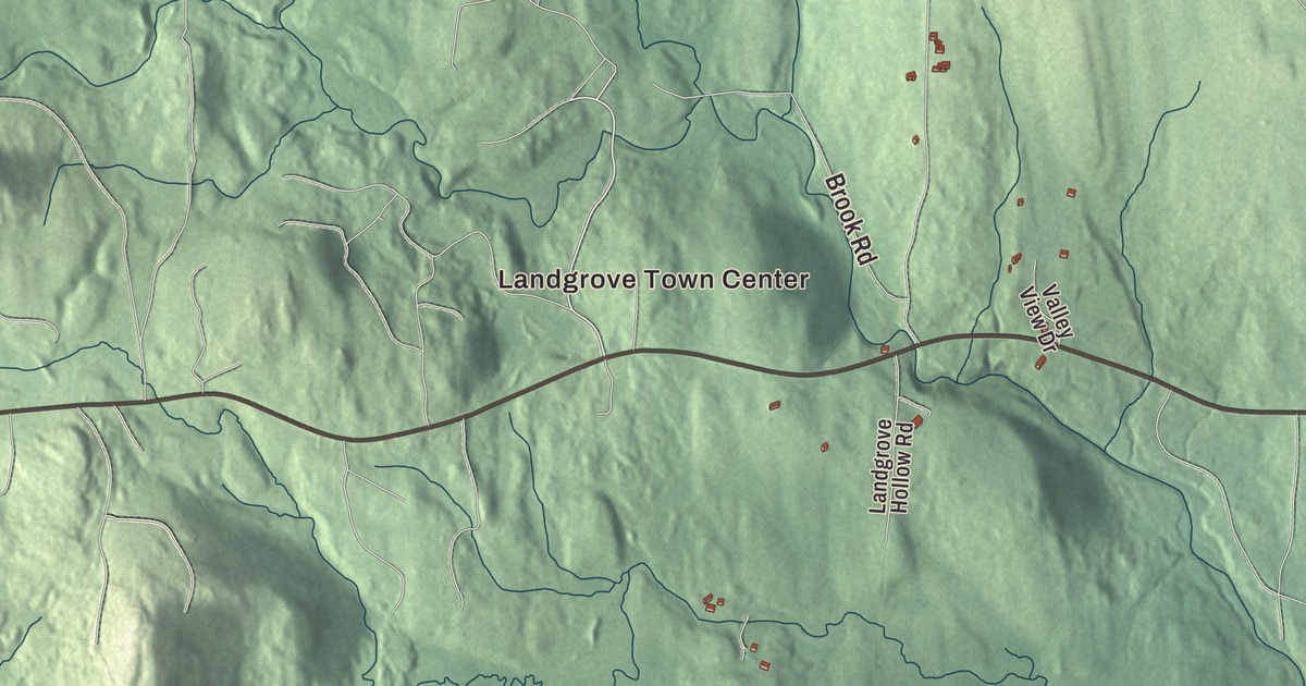
Landgrove is a small town in the northeast corner of Bennington County, home to 177 people at the 2020 census. This map prints Landgrove Town Center and North Landgrove, with roads such as Landgrove Road, Cody Road, Ridge Road, Nichols Road, Jaquith Road and Brook Road.
Landgrove is a town in Bennington County, Vermont.
KNOWOL made this map in 2026 from public survey data and gave it the look of an old county atlas, shading the hills from United States Geological Survey elevation data and drawing the roads and town line from the Census Bureau. The whole town covers 9.2 square miles. Vermont Route 11 crosses its southern end, where the town is only 0.8 miles wide. Click here to purchase a print of this map for your wall.
Between three counties
Landgrove touches three counties. Weston, in Windsor County, lies to the north and east, Londonderry, in Windham County, to the east and south, and Peru and a small piece of Winhall, both in Bennington County, to the west and south. Vermont granted the town in November 1780 and chartered it on November 8 of that year. The town organized on March 25, 1800, and David Carpenter went to the legislature for it that year. The town’s page calls North Landgrove, beside Utley Brook, the town’s only centralized community.
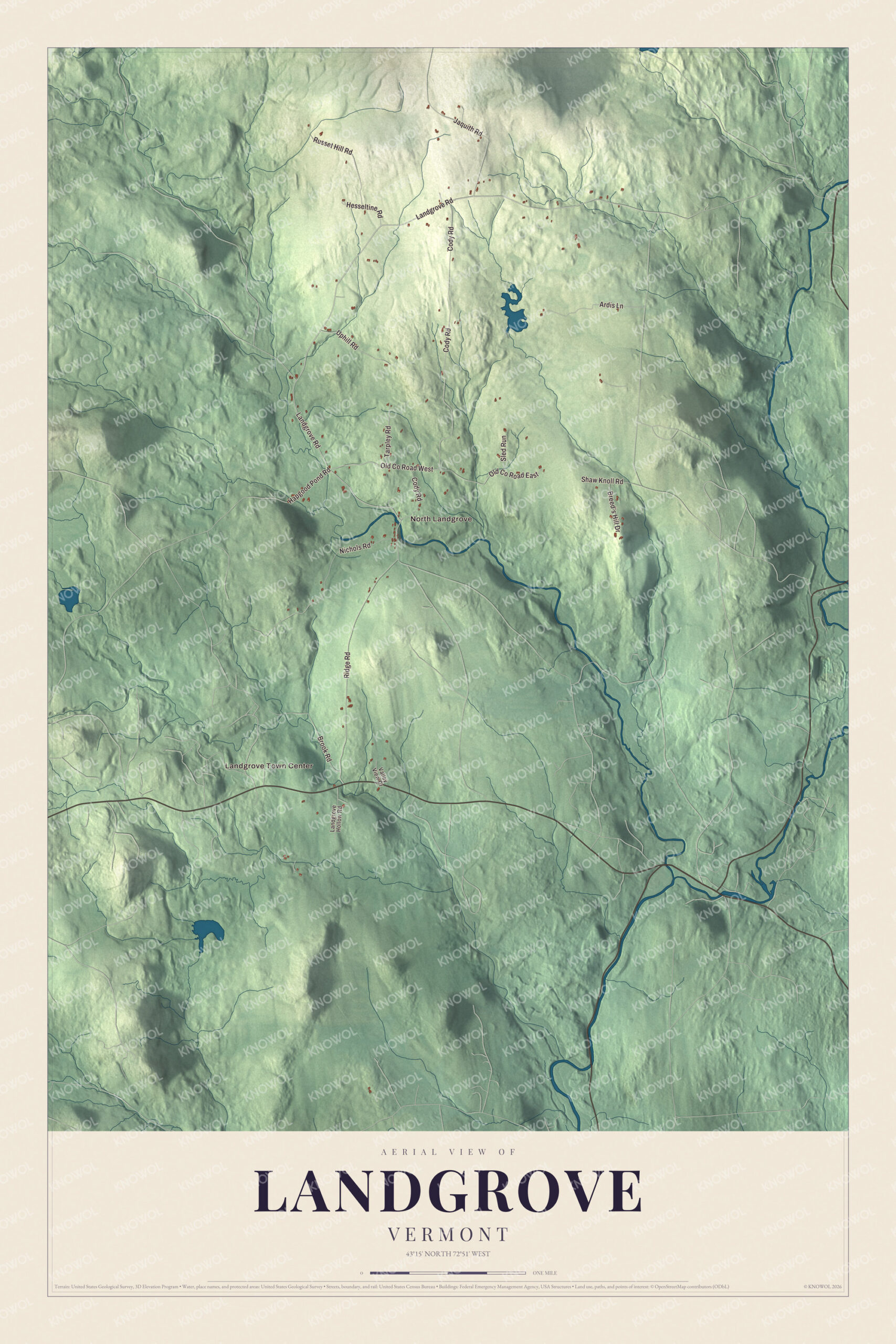
Click to explore a larger preview. The digital watermark does not appear on printed maps.
Names on this map
These names are printed on this map.
Places: Landgrove Town Center and North Landgrove.
Streets and roads: Landgrove Road, Old County Road West, Cody Road, Ridge Road, Nichols Road, Jaquith Road, Old County Road East, Brook Road, Russet Hill Road, Ardis Lane, Uphill Road, Tarpley Road.
More street names, A to Z
Breed's Hill Drive, Hapgood Pond Road, Hesseltine Road, Landgrove Hollow Road, Shaw Knoll Road, Sled Run, Valley View Drive.
See it on a wall
The Landgrove map as a framed print. Swipe for more.


Landgrove people
James Loren Martin was born in Landgrove in 1846 and went to its schools. From the age of 14 he paid his own tuition by working in a chair factory, making maple sugar and clearing land. He studied law, became Speaker of the Vermont House of Representatives from 1878 to 1882, served as United States Attorney for Vermont, and in 1906 became a federal judge for the District of Vermont. J. Henry Tate, born in Landgrove in 1830 and raised on his family’s farm, later settled in Wisconsin and served in its State Senate. The cross-country skier Ben Ogden grew up in Landgrove, where his father taught him and his sister Katharine to ski. At the 2026 Winter Olympics he won silver in the men’s sprint, the first Olympic medal for a U.S. man in cross-country skiing since Bill Koch in 1976, and a second silver in the team sprint with Gus Schumacher.
On the map, follow Landgrove Road, then Cody Road, Ridge Road, Nichols Road, Jaquith Road and Brook Road. Landgrove Town Center and North Landgrove are printed. Landgrove dates to 1780.
This map of Landgrove is made for everyone who calls Landgrove home, and it shows the town as it looks today, from Landgrove Town Center to North Landgrove. Hang it in an office, library or den, or use it to teach children the geography and history of their town. It’s printed on museum quality archival paper. Zoom in on the preview above to explore the details, then click here to get your copy of the Landgrove, Vermont map.

Sources