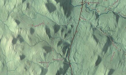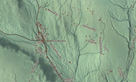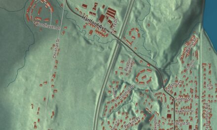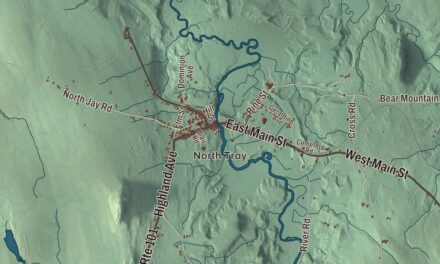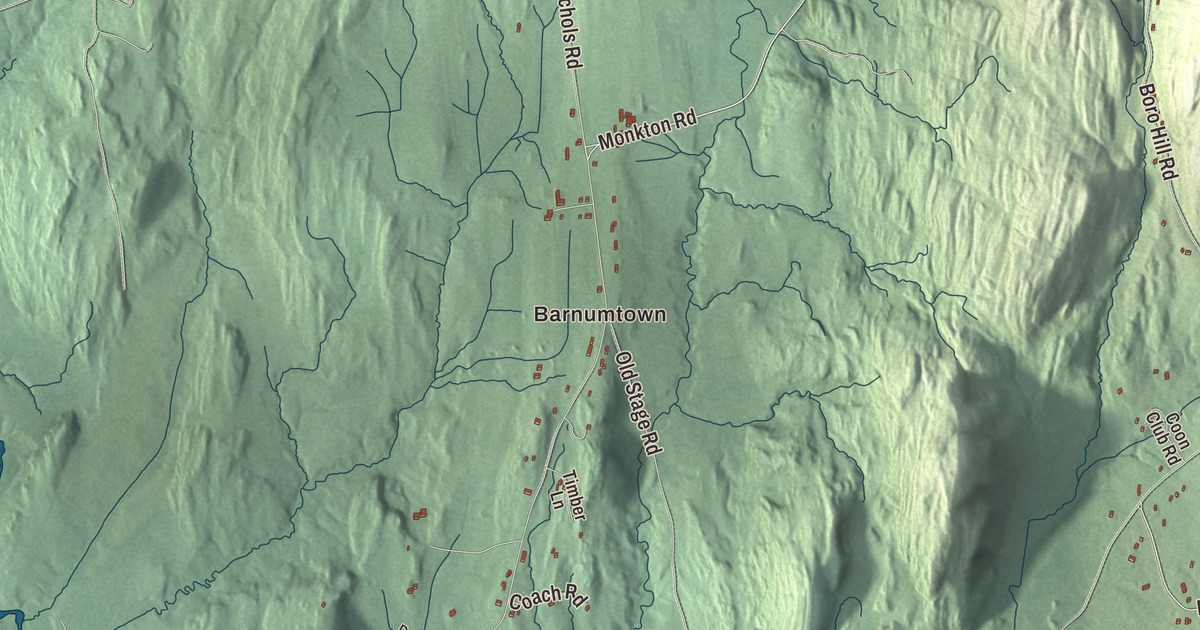
Monkton lies on the eastern edge of the Champlain Valley, in the foothills of the Green Mountains, with Cedar Lake between its two old villages. This map prints Monkton Road, Silver Street, Davis Road, Barnum Road, Roscoe Road and Hollow Road, with Barnumtown, Monkton Ridge, East Monkton and Monkton Boro.
Monkton is a town in Addison County, Vermont.
KNOWOL made this map in 2026 from public survey data and gave it the look of an old county atlas, shading the hills from United States Geological Survey elevation data and drawing the roads and town line from the Census Bureau. The town covers 36.3 square miles, and 2,079 people lived here at the 2020 census. Click here to purchase a print of this map for your wall.
Iron for the fleet
New Hampshire granted Monkton on June 24, 1762, and the town organized on March 28, 1786. Ebenezer Barnum was its first representative in the legislature, in 1787, and Samuel Barnum held the seat for the next three years. Monkton sits in northern Addison County, with Ferrisburgh to the west, New Haven and Bristol to the south, Starksboro to the east, and Charlotte and Hinesburg across the county line to the north.
Iron ore dug around Monkton went into cannonballs for Macdonough’s fleet, which was built at Vergennes during the War of 1812. In 2024 the town, working with the Vermont Land Trust, bought 450 acres from the A. Johnson lumber company, and the company’s people said the land held those same iron deposits. Kaolin clay was once taken from it too, and like much of the country around it, it had been cleared for pasture. Today it’s the Town Forest, with a parking area and walking trails through 15 forest types, mostly red oak and northern hardwoods, and it joins 664 conserved acres in Bristol.
Two villages and a meeting house
The Florona Grange hall on Monkton Road, just north of Hollow Road in Monkton Boro, was built in 1811 as the Monkton Borough Baptist Church, for a congregation formed in 1794. Its page calls it the second-oldest church in Addison County, after the Middlebury Congregational Church of 1809. Its first design follows a church shown in Asher Benjamin’s 1797 pattern book The Country Builder’s Assistant, and the belfry was added in 1854. The Baptists disbanded in 1903, Methodists took the building the next year, and in 1944 they joined the local Quakers in the Quakers’ own building and sold this one to the Grange, which had organized at the Town Hall in 1940 with 96 members. The Grange still uses it for community meetings and events.
The Quaker ministers Joseph Hoag and his wife, Huldah, are buried in the Friends Cemetery near the meeting house in Monkton Boro. Joseph is known for a vision in 1803 that, as his page puts it, “predicted an American Civil War,” and for his journal, published in 1861. Up at Monkton Ridge, the Town Hall on Monkton Ridge Road went up in 1859, after the older hall in Monkton Boro was judged too small for town meeting. It’s the town’s main piece of 19th-century civic building, a single Greek Revival room that now holds the town offices, though its cupola was blown off in a hurricane in the 1900s.
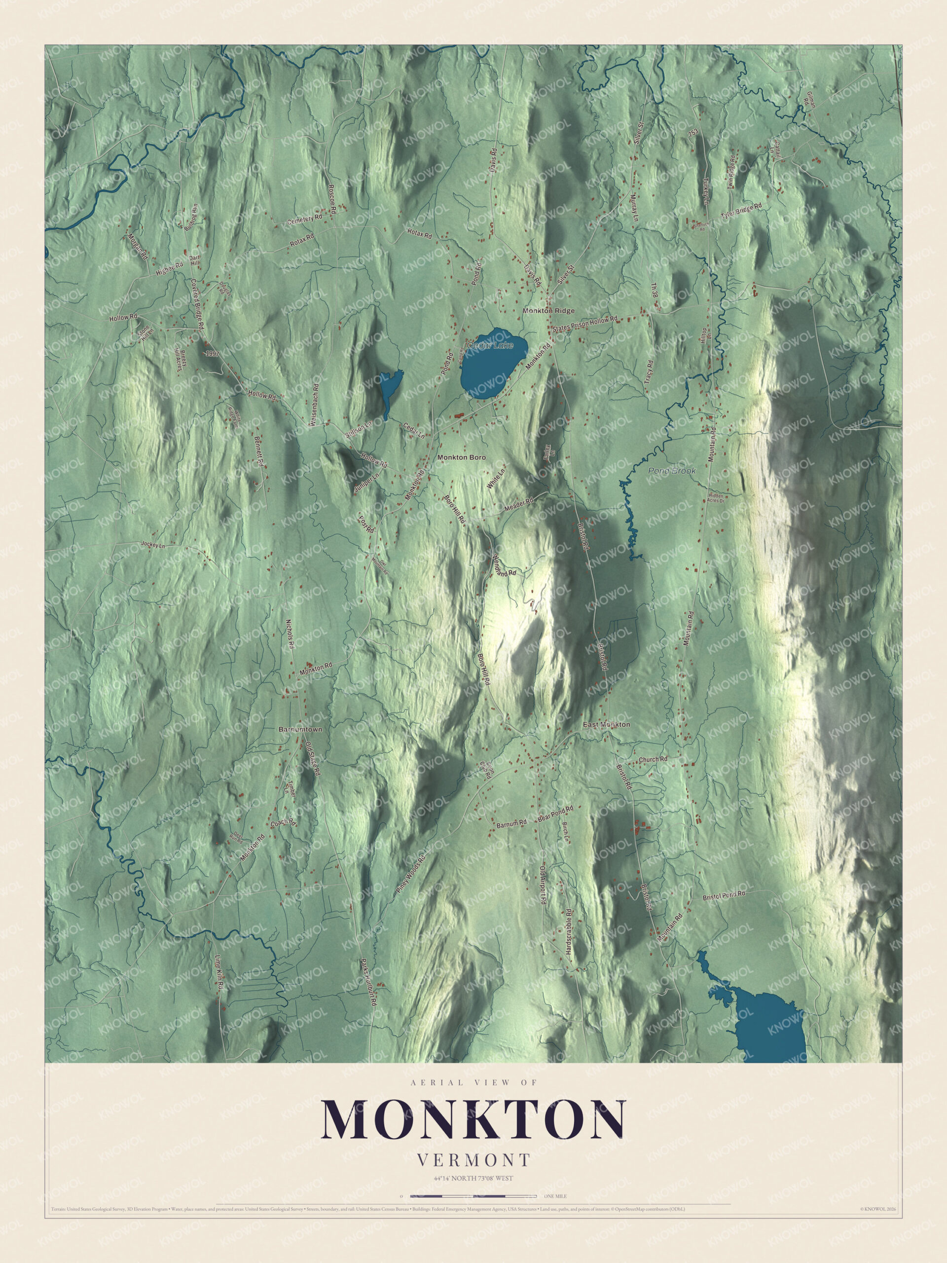
Click to explore a larger preview. The digital watermark does not appear on printed maps.
Names on this map
These names are printed on this map.
Places: Barnumtown, Monkton Ridge, East Monkton, Monkton Boro, Cedar Lake and Pond Brook.
Streets and roads: Monkton Road, Silver Street, Davis Road, Barnum Road, Roscoe Road, Hollow Road, Higbee Road, Mountain Road, Bristol Road, Rotax Road, Boro Hill Road, States Prison Hollow Road.
More street names, A to Z
Bear Pond Road, Bennett Road, Birch Lane, Breezy Hill Acres, Bristol Pond Road, Bullfrog Run, Camp Road, Cattail Lane, Cedar Lane, Cemetery Road, Church Road, Coach Road, Coon Club Road, Covered Bridge Road, Dart Hill, Deer Run Road, Douglas Road, Farley Lane, Gilman Road, Hardscrabble Road, Hidden Acres Drive, Hilltop Lane, Jockey Lane, Juniper Lane, Lime Kiln Road, Meader Road, Morgan Road, Murray Lane, Nichols Road, Old Airport Road, Old Stage Road, Owl Mountain Road, Parks Hurlburt Road, Piney Woods Road, Pond Road, Post Road, Shattuck Road, Stillson Lane, Stone Hill Lane, Th 38, Timber Lane, Tracy Road, Turkey Lane, Twin Ridge Road, Tyler Bridge Road, Weisenbach Road, Wendland Road, White Lane, White Ridge Farm.
See it on a wall
The Monkton map as a framed print. Swipe for more.


Salamanders under Monkton Road
In 2005, residents began a study of how traffic was affecting the town’s amphibians. The wildlife biologist Steve Parren, the town, the University of Vermont, state agencies and conservation groups then worked together to build two wildlife underpasses on Monkton Road at a key migration crossing. Among the animals they help is the blue-spotted salamander, a species of special concern in Vermont. A study published in August 2025 in the Journal for Nature Conservation reported an 80 percent drop in amphibian deaths there, and the project has drawn notice from Smithsonian Magazine and Forbes. Monkton celebrated its 250th anniversary in 2012.
Monkton people
Eva Munson Smith, born in Monkton in 1843, was writing music by 14 and grew up to be a composer and poet. Her book Woman in Sacred Song, published in Boston in 1885, gathered the hymns and sacred music written by women, and its second edition held poetry by 830 women and 150 pieces by 50 women composers. The folk musician Pete Sutherland, a leader of Vermont’s traditional music scene who led Pete’s Posse and helped start Young Tradition Vermont, lived in a converted general store in Monkton.
On the map, start at Barnumtown and Monkton Ridge, then follow Monkton Road, Silver Street, Davis Road, Barnum Road, Roscoe Road and Hollow Road. East Monkton and Monkton Boro are printed, and so are Cedar Lake and Pond Brook. Monkton dates to 1762.
This map of Monkton is made for everyone who calls Monkton home, and it shows the town as it looks today, from Monkton Boro to East Monkton. Hang it in an office, library or den, or use it to teach children the geography and history of their town. It’s printed on museum quality archival paper. Zoom in on the preview above to explore the details, then click here to get your copy of the Monkton, Vermont map.

Sources