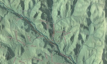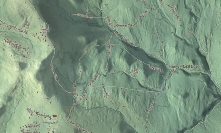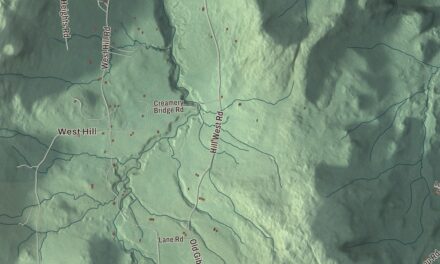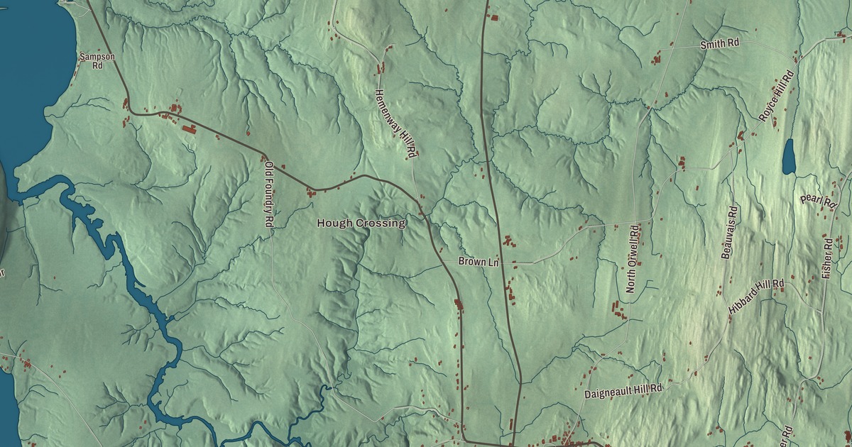
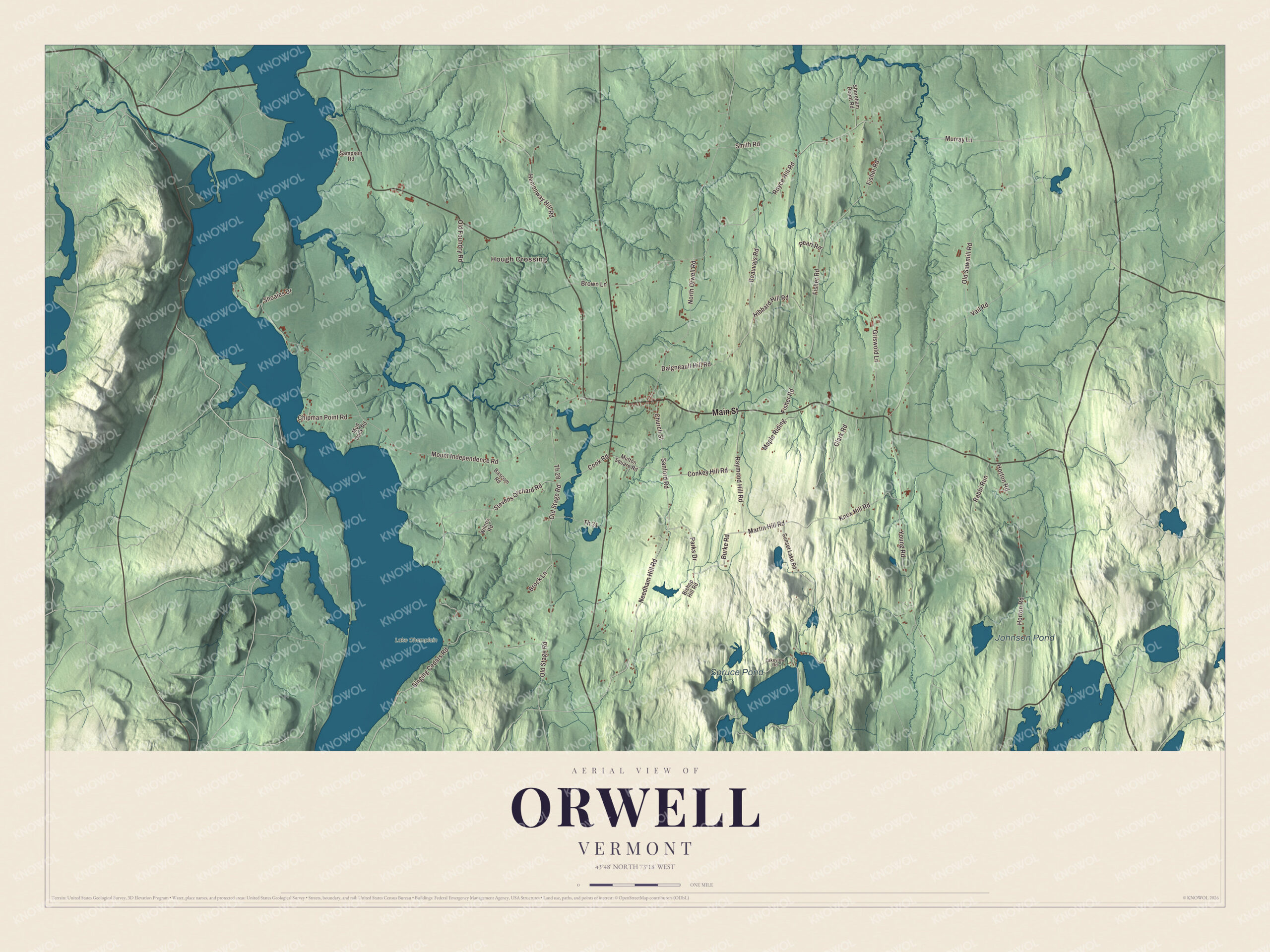
Orwell fills the southwest corner of Addison County, its western line running down the middle of Lake Champlain near the lake’s southern end, and Mount Independence rises from the water in the town’s northwest corner, facing Ticonderoga. This map prints Main Street, Needham Hill Road, Sanford Road, Burke Road, Parks Drive and Martin Hill Road, with Hough Crossing.
Orwell is a town in Addison County, Vermont.
KNOWOL made this map in 2026 from public survey data and gave it the look of an old county atlas, shading the hills from United States Geological Survey elevation data and drawing the roads and town line from the Census Bureau. The town covers 49.7 square miles, 2.5 of them water, and 1,239 people lived here at the 2020 census. Click here to purchase a print of this map for your wall.
Mount Independence
The point was called Rattlesnake Hill when an American council of war at Crown Point, under General Philip Schuyler, decided on July 7, 1776, to fortify it. The army had just come back from a failed invasion of Canada, and on July 11 work began under the engineer Jeduthan Baldwin. On July 28, after Colonel Arthur St. Clair read the Declaration of Independence to the troops, the peninsula took the name Mount Independence. By late fall more than six thousand men were camped there, and with the garrison across the lake at Ticonderoga, more than 13,000 men defended the two posts at the end of October 1776. They built a battery of 28 cannons at the north point, a star-shaped fort on the height, a hospital and storehouses, and a floating bridge a quarter mile long to Ticonderoga, and in the spring of 1777 the Polish engineer Thaddeus Kosciuszko designed batteries on the southeast side. The Americans withdrew on July 5 and 6, 1777, and British and German troops held the Mount until November.
Long before the soldiers came, Native Americans quarried blue-black chert on Mount Independence for tools and points and traded it across the Northeast. After the war it became farmland for grazing sheep and cattle. Today it’s a National Historic Landmark, designated in 1972, and a Vermont state historic site with a museum and 6 miles of trails, among them the 1.6-mile Baldwin Trail, which is wheelchair accessible. It has been called the least disturbed major Revolutionary War site in the country, and its museum holds timbers from the Great Bridge and a 3,000-pound cannon cast in Scotland in 1690 that underwater archaeologists raised from the lake.
Charter and village
New Hampshire granted Orwell on August 18, 1763, and the town organized on December 12, 1787; Ebenezer Wilson was its representative in the legislature in 1786 and 1787. Orwell was moved from Rutland County to Addison County in 1847. In the village, Main Street is Route 73, and the brick First Congregational Church stands near the west end of an oval drive on its north side. The congregation was gathered in 1789, its members built the meeting house in 1843, and its page calls it one of the state’s best examples of Greek Revival church architecture. Its sanctuary keeps the original pews, and one of its stained glass windows, the Children’s Window, was paid for by the Sunday school children in memory of other children of the church. Route 22A crosses Main Street and runs north toward Vergennes and south toward Fair Haven, and Route 73 leads northwest to the ferry across the lake between Larrabees Point and Ticonderoga.
Click to explore a larger preview. The digital watermark does not appear on printed maps.
Names on this map
These names are printed on this map.
Places: Hough Crossing, Johnson Pond, Spruce Pond and Lake Champlain.
Streets and roads: Main Street, Needham Hill Road, Sanford Road, Burke Road, Parks Drive, Martin Hill Road, Old Stage Road, Murray Lane, Conkey Hill Road, Cook Road, Beauvais Road, Horton Road.
More street names, A to Z
Bascom Road, Bishop Hill Road, Brock Lane, Brown Lane, Chipman Point Road, Church Street, Clark Road, Daigneault Hill Road, Fisher Road, Griswold Lane, Hemenway Hill Road, Hibbard Hill Road, Knox Hill Road, Lakeview Road, Maple Riding, Mount Independence Road, Mud Dock Road, Mutton Square Road, North Orwell Road, Old Foundry Road, Old Sawmill Road, Pearl Road, Rabbi Run, Raymond Hill Road, Royce Hill Road, Sampson Road, Shoales Drive, Shoreham Depot Road, Singing Cedars Road, Smith Road, Stevens Orchard Road, Sunset Lake Road, Th 28, Th 31, Vail Road, Wilcox Road, Young Road.
See it on a wall
The Orwell map as a framed print. Swipe for more.


Farms and the old ferry landing
On Route 22A in the south-central part of town stands the Wilcox-Cutts House. Its rear section is the farmhouse William Holenbeck, one of Orwell’s first permanent settlers, built in 1789, and in 1843 Linus Wilcox added a Greek temple front with five Ionic columns, built by the Shoreham master builder James Lamb; it has been copied twice, once for a reduced-scale replica at the Shelburne Museum. Wilcox was one of the first breeders of merino sheep in the state, and Henry Cutts, who bought the farm in 1872, was one of the nation’s leading breeders of the Morgan horse. Out on the lake, Chipman’s Point was in the middle 1800s one of Orwell’s busiest commercial centers, with a church, post office, hotel and two four-story stone warehouses built on the shore to hold goods for the boats. The railroad’s arrival in the region in 1849 cut into lake shipping, the hotel burned in 1952, and the ferry ran until 1975; the two warehouses still stand.
Orwell people
Louis Winslow Austin, born in Orwell in 1867, became a physicist of long-range radio, directed the Navy’s radio research laboratory at the Bureau of Standards from 1908 to 1923, and received the Institute of Radio Engineers’ Medal of Honor in 1927. Nathaniel Colver, born in Orwell in 1794, became a Baptist minister in Boston, where he helped organize the church later known as Tremont Temple and preached against slavery. Admiral Henry Kent Hewitt, who commanded the American naval forces at the Naval Battle of Casablanca and later all Allied amphibious forces in the invasion of Italy, retired to Orwell in 1949.
On the map, start at Hough Crossing, then follow Main Street, Needham Hill Road, Sanford Road, Burke Road, Parks Drive and Martin Hill Road across town. Johnson Pond, Spruce Pond and Lake Champlain are printed. Orwell dates to 1763.
This map of Orwell is made for everyone who calls Orwell home, and it shows the town as it looks today, from Mount Independence to Main Street. Hang it in an office, library or den, or use it to teach children the geography and history of their town. It’s printed on museum quality archival paper. Zoom in on the preview above to explore the details, then click here to get your copy of the Orwell, Vermont map.

Sources
- Orwell, Vermont, Wikipedia
- Town histories and representatives, O towns, Vermont Legislature
- Mount Independence (Vermont), Wikipedia
- First Congregational Church (Orwell, Vermont), Wikipedia
- Vermont Route 22A, Wikipedia
- Vermont Route 73, Wikipedia
- Wilcox-Cutts House, Wikipedia
- Chipman’s Point, Wikipedia
- Louis Winslow Austin, Wikipedia
- Nathaniel Colver, Wikipedia
- Henry Kent Hewitt, Wikipedia