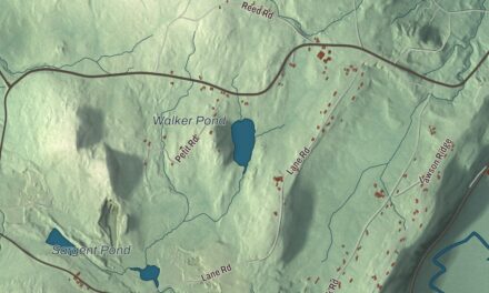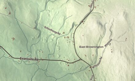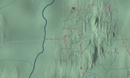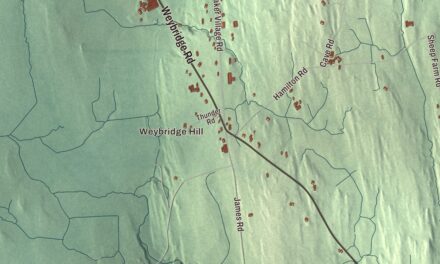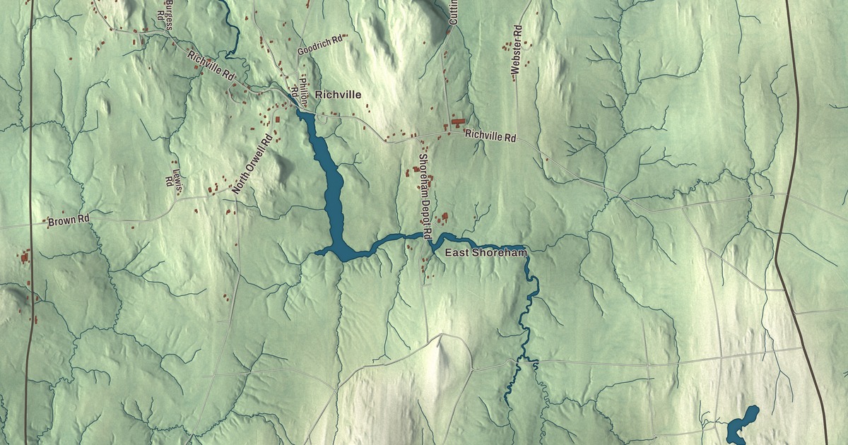
Shoreham looks west across Lake Champlain to Ticonderoga, New York, and its village sits where Route 22A meets Route 74. This map prints Main Street, Richville Road, Shacksboro Road, Palmer Road, Doolittle Road and Harrington Hill Road, with East Shoreham, Cream Hill, Richville and the Lemon Fair River.
Shoreham is a town in Addison County, Vermont.
KNOWOL made this map in 2026 from public survey data and gave it the look of an old county atlas, shading the hills from United States Geological Survey elevation data and drawing the roads and town line from the Census Bureau. The town covers 46.4 square miles, and 1,260 people lived here at the 2020 census. Click here to purchase a print of this map for your wall.
Across the lake to Ticonderoga
New Hampshire granted Shoreham on October 8, 1761, and the town organized on November 20, 1786. Its western line runs down the middle of Lake Champlain, which makes it the state line with New York as well. Early in the morning of May 10, 1775, Ethan Allen, Benedict Arnold and their Green Mountain Boys crossed the lake from Hand’s Cove, in what’s now Shoreham, and surprised the small British garrison at Fort Ticonderoga. The cannon taken there were later hauled to Boston by Henry Knox. Hand’s Cove is an inlet a short way north of Larrabee’s Point, named for Nathan Hand, who bought the land in 1793 and whose family held it for three generations, and it’s home to the only known colonial-era blockhouse in Vermont.
A ferry crossed to Ticonderoga, New York, informally as early as 1759. John Larrabee bought the land at Larrabee’s Point in 1787 and got the state’s permission to run a ferry in 1799, and by 1875 the point had a large hotel and a wharf for lake steamers. A stone warehouse from 1823 still stands beside the ferry slip. Today the seasonal Ticonderoga to Larrabees Point ferry, the oldest operating ferry on Lake Champlain, runs on a cable, as it has since 1946, and it’s one of the last cable ferries left in North America.
Sheep, apples and a Greek Revival green
Colonel Ephraim Doolittle, a veteran of the French and Indian War and the Revolution, started his farm on Doolittle Road in 1766, one of the oldest colonial farms in western Vermont. He helped build the Crown Point Military Road, the area’s first road, and part of it runs along Doolittle Road. Through the first half of the 1800s, Shoreham grew remarkably prosperous on merino sheep, and in 1846 the town built the brick Shoreham Congregational Church at the corner of School and Main Streets, under the master builder Jacob Lamb. It’s one of the state’s finest Greek Revival churches, and town meetings were held in its basement until 1956. On Witherell Road, the Witherell Farm, worked by one family since Ebenezer Turrill bought the land in 1785, shipped merino sheep to South America and South Africa and was among the first in the area to grow apples for market.
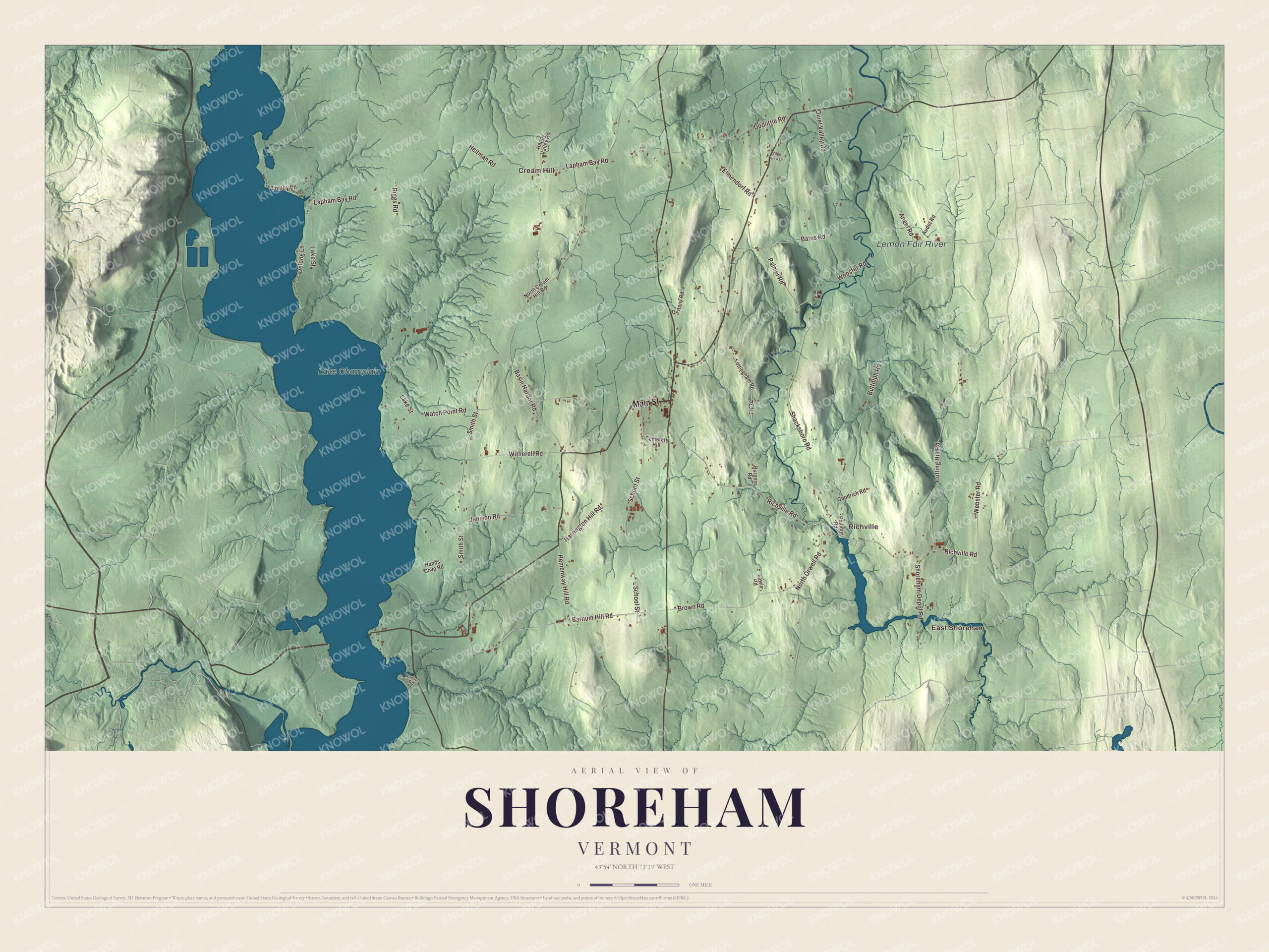
Click to explore a larger preview. The digital watermark does not appear on printed maps.
Names on this map
These names are printed on this map.
Places: East Shoreham, Cream Hill, Richville, Lemon Fair River and Lake Champlain.
Streets and roads: Main Street, Richville Road, Th 34, Shacksboro Road, Palmer Road, Doolittle Road, Harrington Hill Road, Watch Point Road, Barnum Hill Road, Lapham Bay Road, Basin Harbor Road, Buttolph Road.
More street names, A to Z
Angel Road, Audet Road, Bates Road, Brown Road, Burgess Road, Cemetery Hill, Cutting Hill Road, Delong Lane, Duffany Road, Elmendorf Road, Glen View Drive, Goodrich Road, Hands Cove Road, Hanson Road, Happy Valley Road, Heitman Road, Hemenway Hill Road, Jenison Road, Lake Street, Lewis Road, North Cream Hill Road, North Orwell Road, Philion Road, Quiet Valley Road, Riggs Road, School Street, Shoreham Depot Road, Smith Street, Torrey Lane, Tottingham Road, Webster Road, Witherell Road, Wooster Road.
See it on a wall
The Shoreham map as a framed print. Swipe for more.


The Rutland Railroad built the East Shoreham Covered Railroad Bridge over the Lemon Fair River in 1897 for its Addison Branch, and it carried trains until 1951. The 109-foot span is the state’s only surviving wooden Howe truss railroad bridge. In northeastern Shoreham, the stone District Six Schoolhouse of 1833 is one of Vermont’s oldest surviving district schoolhouses, and it served as a school until the 1940s.
Shoreham’s people went far. Levi P. Morton was born here on May 16, 1824, the son of a Congregational minister, and graduated from the academy in Shoreham in 1838. As minister to France he placed the first rivet in the construction of the Statue of Liberty, and he later served as the 22nd vice president and as governor of New York. Silas H. Jennison, who was born and died in Shoreham, was Vermont’s first native-born governor. Ansel Briggs, born in Shoreham, became the first governor of Iowa, and Columbus Delano, born here in 1809, oversaw Yellowstone as Secretary of the Interior when it became the first national park. Mary Annette Anderson, born in Shoreham in 1874, graduated as valedictorian of Middlebury College in 1899 and became the first African American woman elected to Phi Beta Kappa. Her brother, William John Anderson Jr., became the second African American to serve in the Vermont General Assembly, and she’s buried in Shoreham’s Lake View Cemetery.
On the map, start with East Shoreham, then follow Main Street, Richville Road, Shacksboro Road, Palmer Road, Doolittle Road and Harrington Hill Road across town. Then look outward toward Cream Hill and Richville. The Lemon Fair River and Lake Champlain are printed too. Shoreham dates to 1761.
This map of Shoreham is made for everyone who calls Shoreham home, and it shows the town as it looks today, from Main Street and Doolittle Road to the Lemon Fair River and Lake Champlain. Hang it in an office, library or den, or use it to teach children the geography and history of their town. It’s printed on museum quality archival paper. Zoom in on the preview above to explore the details, then click here to get your copy of the Shoreham, Vermont map.

Sources
- Shoreham, Vermont, Wikipedia
- Town histories and representatives, S towns, Vermont Legislature
- Capture of Fort Ticonderoga, Wikipedia
- Hand’s Cove, Wikipedia
- Larrabee’s Point Complex, Wikipedia
- State Route 74 (New York and Vermont) and the Larrabees Point ferry, Wikipedia
- Colonel Ephraim and Sarah Doolittle Farm, Wikipedia
- Shoreham Congregational Church, Wikipedia
- Witherell Farm, Wikipedia
- East Shoreham Covered Railroad Bridge, Wikipedia
- District Six Schoolhouse, Wikipedia
- Levi P. Morton, Wikipedia
- Silas H. Jennison, Wikipedia
- Ansel Briggs, Wikipedia
- Columbus Delano, Wikipedia
- Mary Annette Anderson, Wikipedia