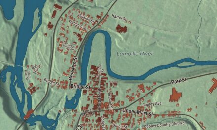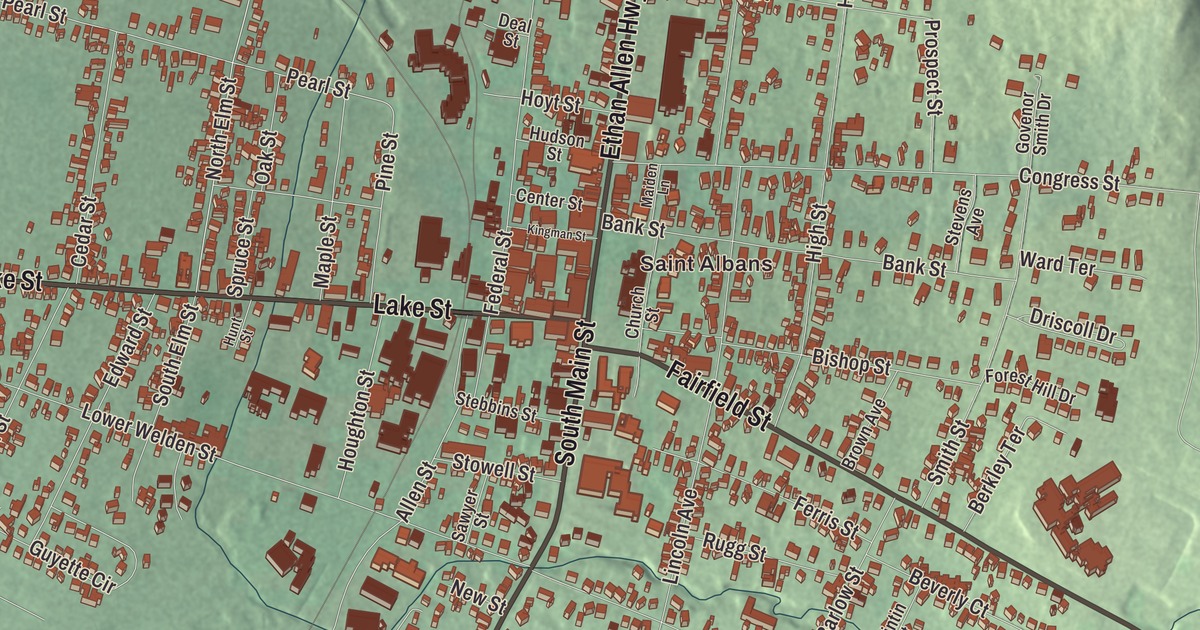
St. Albans City, known as the Railroad City of Vermont, is two square miles of downtown, depot and neighborhoods gathered around Taylor Park, with St. Albans Town on every side. This map prints Saint Albans with South Main Street, North Main Street, Lake Street, Ethan Allen Highway, Fairfield Street and Lower Newton Road.
St. Albans City is a city in Franklin County, Vermont.
KNOWOL made this map in 2026 from public survey data and gave it the look of an old county atlas, shading the hills from United States Geological Survey elevation data and drawing the streets and city line from the Census Bureau. The city covers 2.0 square miles, all of it land, and 6,877 people lived here at the 2020 census. Click here to purchase a print of this map for your wall.
The old town center
St. Albans was one of the New Hampshire grants, chartered by Benning Wentworth on August 17, 1763, to Stephen Pomeroy and 63 others, and named for St Albans in Hertfordshire, England. Jesse Welden settled first, during the Revolution, but the war held others back until 1785. The town common, now Taylor Park, was laid out in 1792, and Ira Allen ran the main stagecoach road between Burlington and Montreal along its west side, roughly where Route 7 runs today. The village grew prosperous as the seat of Franklin County. On North Main Street near the city’s northern edge, Hathaway’s Tavern, built in 1793, is the city’s oldest surviving building; before the county had a courthouse, its court met there. Across South Main Street from Bellows Free Academy, the Houghton House of about 1800 is another of the oldest. St. Albans is the shire town of Franklin County and its only city. The old village center was incorporated as a city on November 17, 1896, a separate municipality inside St. Albans Town.
The Rail City
The Vermont Central Railroad reached St. Albans in 1851, and the town became known as “The Rail City,” home to a major depot, an operations center and repair shops. A new station with a large train shed was finished in 1867. More than 200 trains a day once passed through, and much of the city’s Victorian and Craftsman architecture went up in those years. Between Catherine and Pine Streets on both sides of Lake Street, the Central Vermont Railroad Headquarters, built from the 1860s to the 1920s, is the largest group of railroad buildings in Vermont. Its old office building now houses the New England Central Railroad, and Amtrak’s Vermonter, which ends its daily run from Washington, D.C., here, uses a former railroad building as its station. Immigrants who landed at Halifax or Montreal sometimes came south by train through the border crossing here, which makes the city’s records a focus for genealogists.
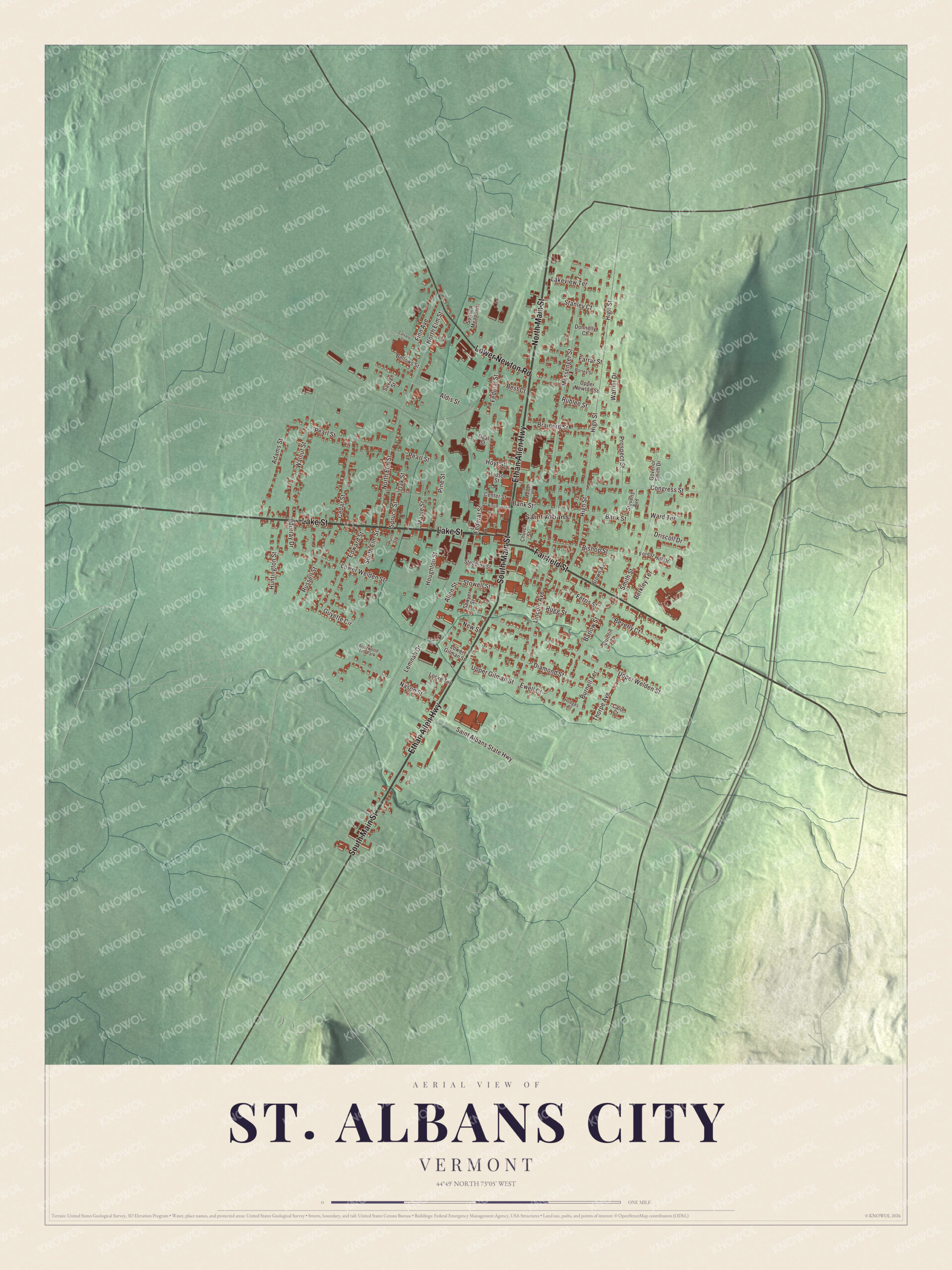
Click to explore a larger preview. The digital watermark does not appear on printed maps.
Names on this map
These names are printed on this map.
Places: Saint Albans and Briarwood Trlr Park.
Streets and roads: South Main Street, North Main Street, Lake Street, Ethan Allen Highway, Fairfield Street, Lower Newton Road, North Elm Street, High Street, Lincoln Avenue, Messenger Street, Upper Welden Street, Lower Welden Street.
More street names, A to Z
Adams Street, Aldis Street, Allen Street, Bank Street, Barlow Street, Bellows Street, Berkley Terrace, Best Court, Beverly Court, Bishop Street, Borley Street, Brainerd Street, Brown Avenue, Burnell Terrace, Calo Court, Calvary Street, Cedar Street, Center Street, Church Street, Congress Street, Deal Street, Diamond Street, Donnelly Court, Driscoll Drive, Edward Street, Ewell Court, Farrar Street, Federal Street, Ferris Street, Finn Avenue, Forest Hill Drive, Govenor Smith Drive, Guyette Circle, Hodges Court, Houghton Street, Hoyt Street, Hudson Street, Huntington Street, Hunt Street, Kingman Street, Lakeview Terrace, Lemnah Drive, Locke Terrace, Lower Gilman Street, Maiden Lane, Maple Street, Murray Drive, Nason Street, New Street, Oak Street, Pearl Street, Pine Street, Prospect Street, Quintin Court, Rublee Street, Rugg Street, Russell Street, Saint Albans State Highway, Savage Street, Sawyer Street, Smith Street, South Elm Street, Spruce Street, Stanley Court, Stebbins Street, Stevens Avenue, Stowell Street, Sunset Meadows, Thorpe Avenue, Upper Gilman Street, Upper Newton Street, Walnut Street, Ward Terrace, Warner Drive.
See it on a wall
The St. Albans City map as a framed print. Swipe for more.


On October 19, 1864, 21 Confederate soldiers crossed from Canada and robbed the town’s banks in the St. Albans Raid, the northernmost land action of the Civil War. In 1869 the Congregation of Notre Dame of Montreal opened a convent and school here, and it later took over Villa Barlow, the house of the banker and railroad man Bradley Barlow. In 1903 Eliza Healy, an American woman whose mother had been enslaved in Georgia, became its mother superior and led the convent and school for 15 years.
On Fairfield Street, Route 36, the brick Fairfield Street School of 1911, designed by the Burlington architect Frank Lyman Austin, taught children until 1970 and now holds homes. Each April, St. Albans hosts the Vermont Maple Festival, three days with a pancake breakfast, a parade, an antiques show and the crowning of a Maple King and Maple Queen, and the Sap Run footrace comes in from Swanton. John Gregory Smith, born in St. Albans in 1818, served as Vermont’s last Civil War governor, and Sara Weeks Roberts, born here in 1865, became president of the National Library for the Blind.
On the map, start with Saint Albans, then follow South Main Street, North Main Street, Lake Street, Ethan Allen Highway, Fairfield Street and Lower Newton Road across the city. All six of those names are printed on the artwork. St. Albans City dates to 1896.
This map of St. Albans City is made for everyone who calls St. Albans City home, and it shows the city as it looks today, from North Main Street and Lake Street to Fairfield Street and South Main Street. Hang it in an office, library or den, or use it to teach children the geography and history of their city. It’s printed on museum quality archival paper. Zoom in on the preview above to explore the details, then click here to get your copy of the St. Albans City, Vermont map.

Sources
- St. Albans (city), Vermont, Wikipedia
- Town histories and representatives, S towns, Vermont Legislature
- St. Albans Historic District, Wikipedia
- Hathaway’s Tavern, Wikipedia
- Houghton House (St. Albans, Vermont), Wikipedia
- St. Albans station (Vermont), Wikipedia
- Central Vermont Railroad Headquarters, Wikipedia
- St. Albans Raid, Wikipedia
- Bradley Barlow, Wikipedia
- Fairfield Street School, Wikipedia
- Vermont Maple Festival, Wikipedia
- John Gregory Smith, Wikipedia
- Sara Weeks Roberts, Wikipedia