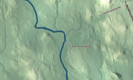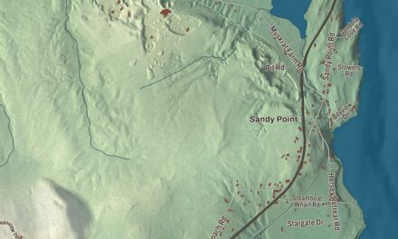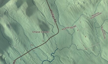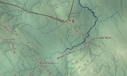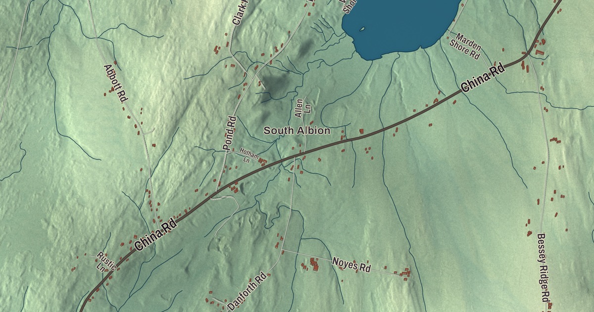
Albion’s roads say who its neighbors are. This map prints China Road, Unity Road, Freedom Road and Winslow Road, each sharing its name with a neighboring town, along with Belfast Road, Main Street, South Albion, Sennetts Corner and Lovejoy Pond. Click here to purchase a print of this map for your wall.
Albion is in Kennebec County, and it had 2,006 people at the 2020 census.
KNOWOL made this map in 2026 from public survey data and gave it the look of an old atlas. The shaded terrain comes from United States Geological Survey elevation data, and the roads and the town line come from the Census Bureau. Of the town’s 39.46 square miles, only 0.63 are water, and most of it is Lovejoy Pond, at 379 acres. U.S. Route 202 and Maine routes 9 and 137 serve the town.
Freetown, Fairfax, Ligonia, Albion
Daniel Lovejoy, a Congregational minister, settled the place in 1790 as Freetown Plantation. It was incorporated as the Town of Fairfax on March 9, 1804, took in land from Winslow in 1810, and gave up pieces in 1813, 1816 and 1818 that went on to become part of China. On March 10, 1821, the name changed to Ligonia, and on February 25, 1824, to Albion.
Two of the minister’s sons made their names far from home. Elijah Parish Lovejoy was born in 1802 at his grandparents’ frontier farmhouse near Albion, the eldest of nine children. He graduated as valedictorian from Waterville College, now Colby, went west, and in St. Louis founded the St. Louis Observer, which grew more and more critical of slavery. He moved his press across the river to Alton, Illinois, a free state, and in 1837 he was killed there by a pro-slavery mob attacking the warehouse that held his printing press. His page says he became a martyr to the abolitionist cause and was hailed as a defender of free speech and a free press; John Quincy Adams said his death gave “a shock as of an earthquake throughout this country.” His brother Owen Lovejoy, born in Albion in 1811, worked on the family farm until he was 18, went to Bowdoin, and became a Congregational minister, a “conductor” on the Underground Railroad, a friend of Abraham Lincoln and a Republican congressman from Illinois. Another Albion native, Edward Sturgis Ingraham, became the first superintendent of the Seattle Public Schools, climbed to the summit of Mount Rainier 13 times and helped lead the effort to make it a national park. The Ingraham Glacier on the mountain carries his name.
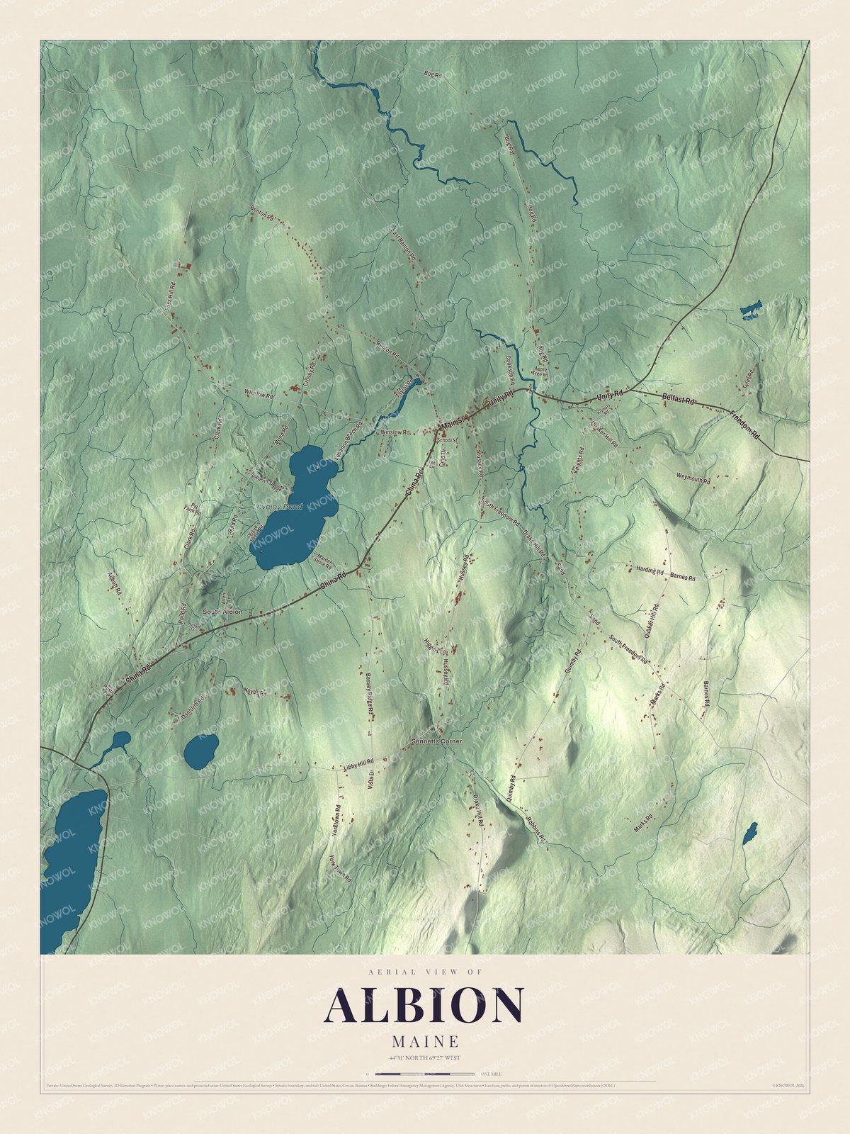
Click to explore a larger preview. The digital watermark does not appear on printed maps.
See it on a wall
The Albion map as a framed print. Swipe for more.


End of the line
Albion was the northern end of the Wiscasset and Quebec Railroad, a two-foot gauge line running north from the seaport of Wiscasset. It reached Albion in November 1895, with hopes of going all the way to Quebec City, and it never did. South Albion, printed on the map, had a small flag stop shelter. At Albion itself, the station was an agent’s building of the line’s standard design, later given a second story with living quarters, and its sidings served a cannery, a sawmill, a tannery and two potato warehouses. After a bankruptcy, new owners and a new name, the Wiscasset, Waterville and Farmington Railway, the town page says the company finally gave way to road transportation and the Depression in 1933. A few miles of it run again as a heritage railroad in Alna.
One farm tells the town’s longer story. The Hussey-Littlefield Farm, at 63 Hussey Road in central Albion, southeast of the village center, was settled in 1838 by Silas Hussey, and its house, ells, wagon shed and barn are joined in one long line, showing how a Maine farmstead grew through the 19th century. His son Bert added the south ell and the wagon shed sometime between 1859 and 1873, and Bert’s grandchildren later sold it to the Littlefields, who were in their second generation there when it joined the National Register of Historic Places in 2016.
This Albion map is a handsome addition to an office, library or den, and it can teach children the geography and history of the town that gave the country Elijah and Owen Lovejoy. It’s made for anyone who calls Albion home, from Sennetts Corner to South Albion. Zoom in on the preview above to explore the details, then click here to get your copy of the Albion, Maine map.

Sources