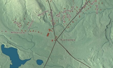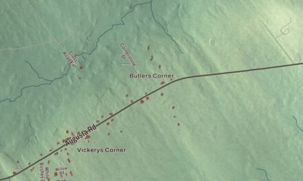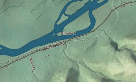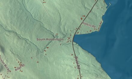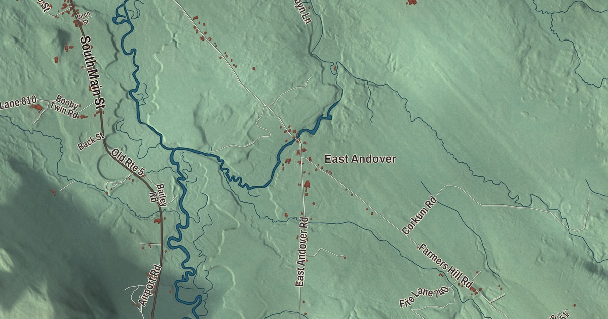
If you grew up in Andover, you know Main Street, Elm Street and South Main Street, and the drives out East Andover Road and North Andover Road. This map prints them all, with Roxbury Pond Road, East Andover, South Andover, Horseshoe Pond and the West Branch Ellis River. Click here to purchase a print of this map for your wall.
Andover is in Oxford County, and it had 752 people at the 2020 census.
KNOWOL made this map in 2026 from public survey data and gave it the look of an old atlas. The shaded terrain comes from United States Geological Survey elevation data, and the roads and the town line come from the Census Bureau. Andover is set among mountains and crossed by the Appalachian Trail, and it’s drained by the Ellis River, a tributary of the Androscoggin.
From Andover, Massachusetts
A group of proprietors, most of them from Andover, Massachusetts, bought the land in 1788. Ezekiel Merrill and his family settled it first, in 1789, brought up from Bethel in canoes handled by members of the Pequawket tribe. Colonel Thomas Poor built the first sawmill on the East Branch of the Ellis River in 1791, and its lumber went into the Merrill House, which still stands on Route 120 northeast of the village. The town was incorporated on June 23, 1804, as East Andover and took the name Andover in 1820, when Maine separated from Massachusetts.
Merrill’s daughter Mary married Sylvanus Poor, and two of their sons were born in that house. John A. Poor became a lawyer and railroad builder, best remembered for the Grand Trunk Railway. Henry Varnum Poor founded the firm that grew into Standard & Poor’s, and in 1890 he bought the family homestead from relatives and made it a summer estate with the architect Edward Clarke Cabot and the landscape designer Frederick Law Olmsted. Poor descendants still own it. Andover also keeps the memory of Molly Ockett, a Pequawket Abenaki healer and midwife who is said to have saved the life of the infant Hannibal Hamlin, later Vice President. She died in Andover in 1816, and in 1867 the women of the town’s Congregational church raised the money for a marker on her grave in Woodlawn Cemetery.
Early Andover lived by farming and lumbering, and in time its factories made doors, sash, blinds, starch, cheese, boots, shoes, edge tools, carriages and harness. After the Civil War, sportsmen came for trout and for the Richardson Lakes nearby, and a hotel went up for them.
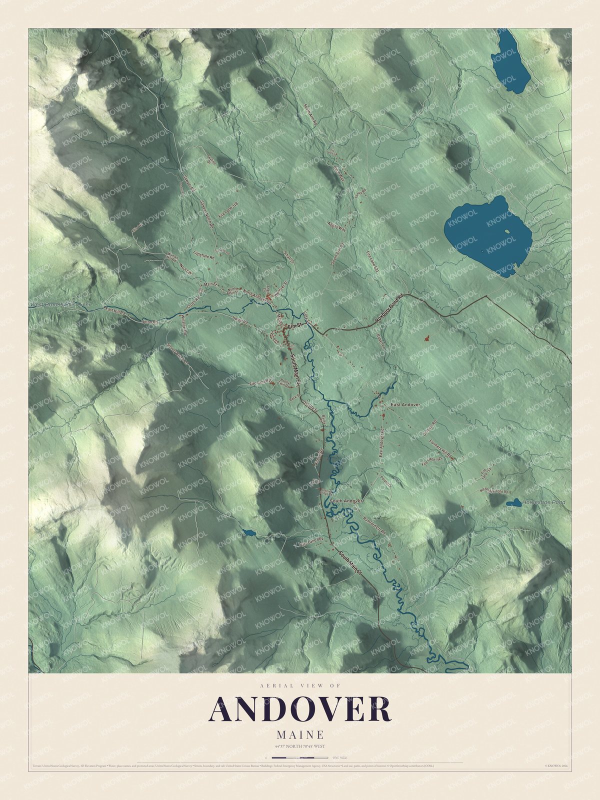
Click to explore a larger preview. The digital watermark does not appear on printed maps.
See it on a wall
The Andover map as a framed print. Swipe for more.


“We’ve acquired Telstar!”
In December 1960, AT&T chose Andover for one of the first satellite earth stations, for its setting in the Western Maine Mountains and its low radio interference. The station’s giant horn antenna stood seven stories high and weighed 340 tons, under a Dacron radome 160 feet tall. Telstar 1 went up on July 10, 1962, and that evening project director Eugene F. O’Neill announced, “We’ve acquired Telstar!” Minutes later an American flag at Andover appeared on the television screen, and word came that the French station at Pleumeur-Bodou had received the picture. The town page calls it the first live transatlantic television signal broadcast by satellite. The horn and its visitor center were taken down in the mid-1980s.
Around town
Elm Street is printed on the map. At number 39 stands the Andover Hook and Ladder Company Building. The company was founded in 1890, and the building served as the fire station from 1904 until 1987. The Andover Public Library, on Church Street, has been in its octagonal building since 1943; its page says it’s one of only two octagonal religious buildings known in Maine. South Andover is printed too. There the Lovejoy Bridge, a Paddleford truss covered bridge built in 1868, carries Covered Bridge Road over the Ellis River. At 70 feet, it’s the shortest covered bridge in the state. East Andover is printed as well. The Ellis River passes that village on its way southwest.
This Andover map is a handsome addition to an office, library or den, and it can teach children the geography and history of the mountain town that helped send the first live television across the Atlantic by satellite. It’s made for anyone who calls Andover home, from East Andover to South Andover. Zoom in on the preview above to explore the details, then click here to get your copy of the Andover, Maine map.

Sources
- Andover, Maine, Wikipedia
- Merrill House (Maine), Wikipedia
- John A. Poor, Wikipedia
- Henry Varnum Poor, Wikipedia
- Molly Ockett, Wikipedia
- Andover Earth Station, Wikipedia
- Andover Hook and Ladder Company Building, Wikipedia
- Andover Public Library (Andover, Maine), Wikipedia
- Lovejoy Bridge, Wikipedia
- Ellis River (Maine), Wikipedia