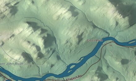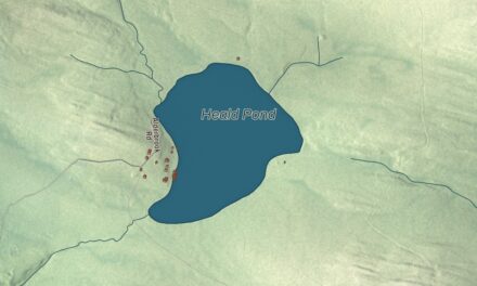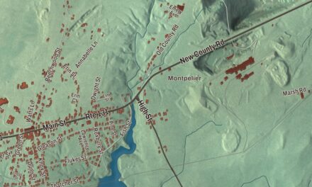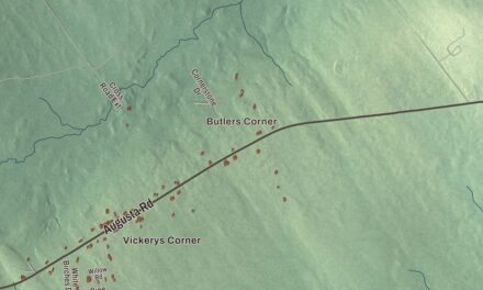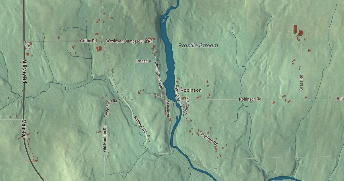
This map of Blaine prints the village of Robinson by name, along with Military Road, Main Road, Kinney Road, Bubar Road, Griffin Road and Wesleyan Campground Road. Prestile Stream is printed too. Click here to purchase a print of this map for your wall.
Blaine is a town in Aroostook County, and 667 people lived here at the 2020 census.
KNOWOL made this map in 2026 from public survey data and gave it the look of an old atlas. The land is shaded from United States Geological Survey elevation data, and the roads and town line come from the Census Bureau. By the bureau’s count the town covers 18.65 square miles, and only 0.05 of them are water.
Alva takes the Speaker’s name
Before it was Blaine, the town was called Alva. Alva was organized as a plantation in 1862, and it took its present name at incorporation in 1874, in honor of James G. Blaine, then Speaker of the United States House of Representatives. Blaine had come to Maine from Pennsylvania as a young newspaper editor in Augusta. He was Speaker from 1869 to 1875, later served twice as Secretary of State, and was the Republican nominee for president in 1884.
The town still has a keepsake of the bargain. According to the Blaine 1974 Centennial Celebration Pamphlet, as the town page reports it, Blaine gave the town a schoolhouse bell in return for taking his name. The bell was cast in 1875 by William Blake and Company. It now rests in the former Blaine Grange Hall, in the care of the Central Aroostook Historical Society.
One of Blaine’s own spent her life teaching. Amber E. Robinson, born in Bridgewater in 1867, went to school in Blaine and married there in 1883. She started teaching at 16 and taught for 42 years, served as a postmaster, reported for the Bangor Daily News and the Presque Isle Star Herald, published a book of poems and spoke up for women’s suffrage. Her page says she was influential across the state.
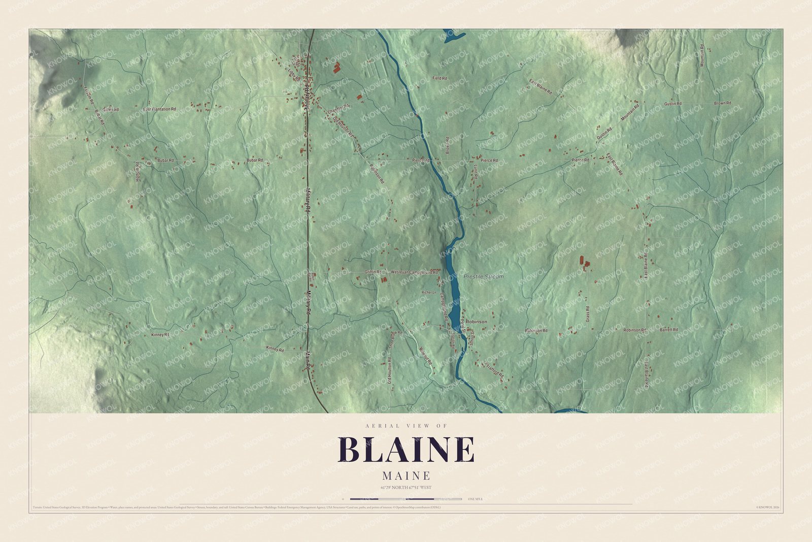
Click to explore a larger preview. The digital watermark does not appear on printed maps.
Names on this map
These names are printed on this map.
Places: Robinson and Prestile Stream.
Streets and roads: Military Road, Main Road, Kinney Road, Bubar Road, Griffin Road, Wesleyan Campground Road, Folsom Road, Old Houlton Road, Robinson Road, Libby Road, Gustin Road, Field Road.
More street names, A to Z
Barrett Road, Brown Road, Campground Road, Chandler Road, East Blaine Road, East Plantation Road, Gillen Road, Grass Road, Hotham Road, Lunn Road, Mountain Road, Pierce Road, Pond Street, Richer Lane, Rideout Road, Robin Rail Road, School Street, Station Road, Three Brook Road, Trafford Road, Village Court.
See it on a wall
The Blaine map as a framed print. Swipe for more.


Robinson and the roads
Robinson is printed on the map. The town page lists two villages, Blaine and Robinsons. Prestile Stream is printed as well. Mars Hill’s page says the same stream splits that town partly in half, running between Fort Street and Silver Street and under the Fort Street Bridge.
Military Road and Main Road are printed on the map, and so are Kinney Road, Bubar Road, Griffin Road and Wesleyan Campground Road. Look for them on the preview, then find your own road among them.
This Blaine map makes a handsome addition to an office, library or den, and it can teach children the geography and history of an Aroostook County town. It’s made for anyone who calls Blaine home, from Robinson to Prestile Stream, as it looks today. Zoom in on the preview above to explore the details, then click here to get your copy of the Blaine, Maine map.

Sources