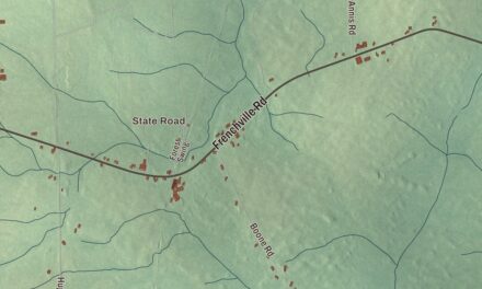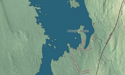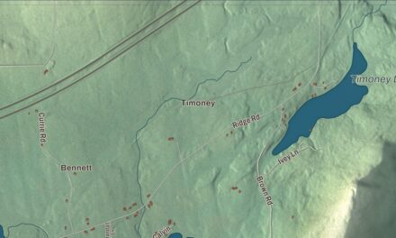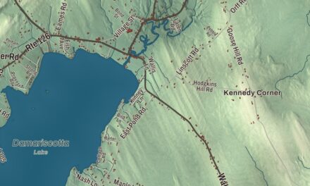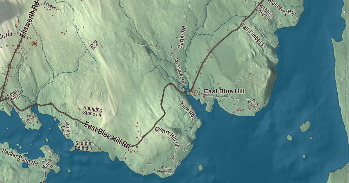
Main Street, Union Street, Pleasant Street and South Street are printed on this map of Blue Hill, with Western County Road and East Blue Hill Road. The villages of East Blue Hill and South Blue Hill have their names on it too, and so do Salt Pond, First Pond and Third Pond. Click here to purchase a print of this map for your wall.
Blue Hill is a town in Hancock County, on Blue Hill Bay, and 2,792 people lived here at the 2020 census.
KNOWOL made this map in 2026 from public survey data and gave it the look of an old atlas. The relief comes from United States Geological Survey elevation data, and the roads and town line come from the Census Bureau, which counts 86.57 square miles in the town, 24.09 of them water. Blue Hill itself, the 940-foot summit the town is named for, is its highest point, and Long Island out in the bay belongs to the town as well.
Plantation Number 5
The Massachusetts General Court granted six townships to David Marsh and 351 others for their service in the French and Indian War, and this was one of them. Called Plantation Number 5, it was first settled in 1762 by Captain Joseph Wood and John Roundy of Andover, Massachusetts, who built their homes on Mill Island at the tidal falls. It was later called Newport Plantation, and on January 30, 1789, it was incorporated as Blue Hill, after the summit that overlooks the region. Its First Congregational Church was formed in 1772, the first Congregational church organized east of Penobscot Bay.
The pond outlets turned sawmills and gristmills, and by 1859 the port was shipping 5,000 cords of firewood a year, along with lumber, masts and shingles. But shipbuilding was the main industry: beginning in 1792, 133 vessels were built here, most of them schooners. Blue Hill granite was prized too, and some of it went into the Brooklyn Bridge and the New York Stock Exchange Building. In 1876 the quarries employed 300 workers.
The Reverend Jonathan Fisher came in 1796 as the town’s first settled minister, and in 1814 he built the house on Mines Road, now a museum to him. He kept a journal of his life in rural Maine and illustrated his book Scriptural Animals with his own woodcuts. Mary Ellen Chase, born in Blue Hill in 1887, wrote his biography among more than 30 books, many set in Maine, and taught English literature at Smith College for nearly three decades. In 1902 the violinist Franz Kneisel first brought his students to his summer home here. In 1922 a friend built him a hall on the side of Blue Hill Mountain, and Kneisel Hall still holds a chamber music festival and school there each summer.
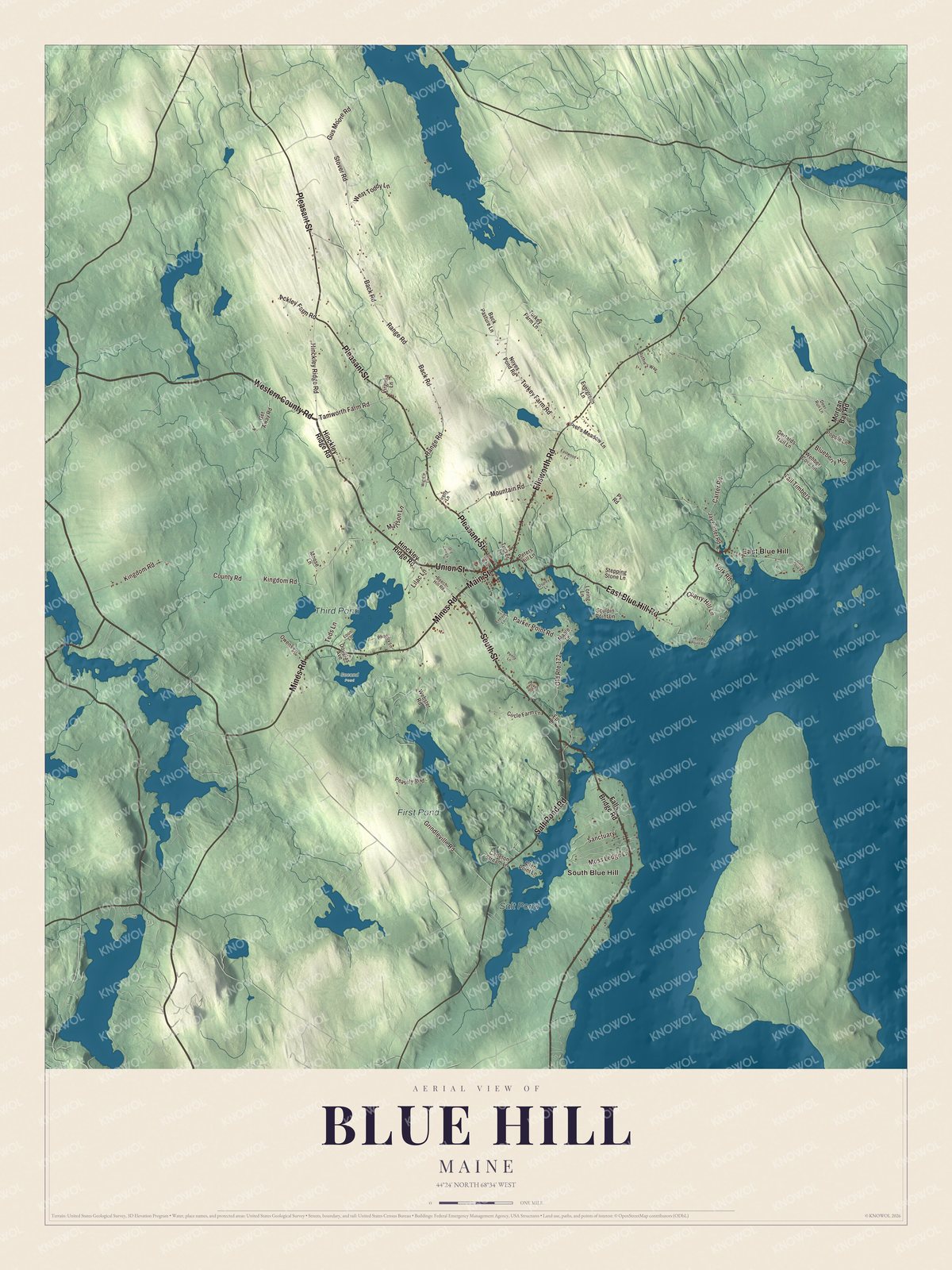
Click to explore a larger preview. The digital watermark does not appear on printed maps.
See it on a wall
The Blue Hill map as a framed print. Swipe for more.


Main Street and South Street
Main Street is printed on the map. The Blue Hill Historic District calls it the spine of the village, with Union Street, Pleasant Street and other roads branching off it at the head of Blue Hill Harbor. The district covers 80 acres and more than 70 historic buildings, many from before 1840. Among them are the 1834 Greek Revival Congregational Church, the town hall that the Maine architect George A. Clough designed in 1895, and the 1898 main building of George Stevens Academy. The academy grew out of Blue Hill Academy, founded in 1803 as the first school in Hancock County. George Stevens’s own Federal house of 1814 still stands on Union Street.
South Street is printed too. Barncastle, at number 125, was finished in 1884 for Effie Hinckley Ober, founder of the Boston Ideal Opera Company, to a design by her childhood friend Clough, and it’s one of the earliest and largest summer cottages in Blue Hill; today it’s an inn and restaurant. At 185 South Street, the Parker House was built around 1816 for Robert Parker and his wife Ruth, a daughter of the founder Joseph Wood, and Clough remodeled it in the Colonial Revival style in 1900.
East Blue Hill is printed as well. Its library is a small Craftsman building designed by the New York theatrical architect John W. Merrow and finished in 1920, and it’s listed on the National Register of Historic Places. South Blue Hill, Western County Road and East Blue Hill Road are printed on the map, along with Salt Pond, First Pond and Third Pond.
This Blue Hill map makes a handsome addition to an office, library or den, and it can teach children the geography and history of a shipbuilding and granite town on the bay. It’s made for anyone who calls Blue Hill home, from East Blue Hill to South Blue Hill, as it looks today. Zoom in on the preview above to explore the details, then click here to get your copy of the Blue Hill, Maine map.

Sources