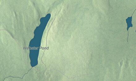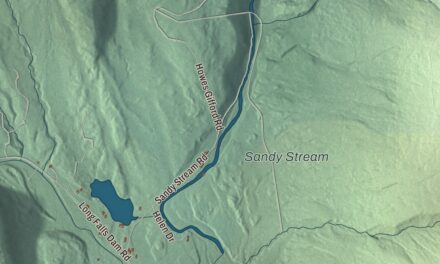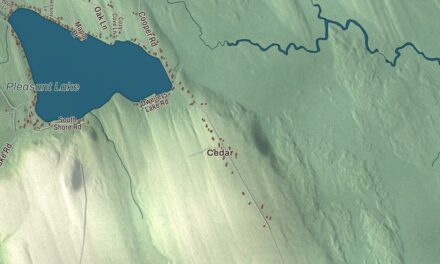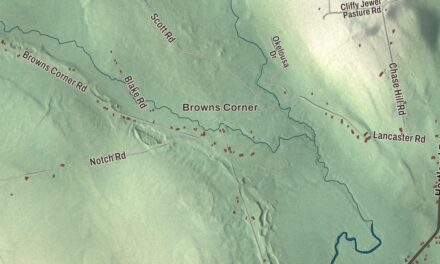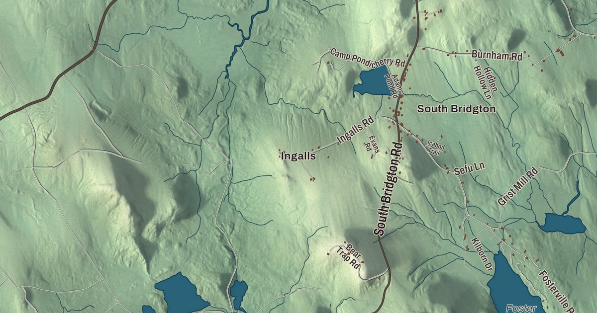
Highland Lake reaches north from the village on this map of Bridgton, and South High Street, Ingalls and North Bridgton carry their names too. South Bridgton, West Bridgton, Sandy Creek and Plummer Landing are printed too, and so are Woods Pond and the roads to the neighbors: North Bridgton Road, Bridgton Road, Sweden Road, Harrison Road and Waterford Road. Click here to purchase a print of this map for your wall.
Bridgton is a town in Cumberland County, with 5,418 people at the 2020 census.
KNOWOL made this map in 2026 from public survey data and gave it the look of an old atlas. The shaded hills come from United States Geological Survey elevation data, and the roads and town line come from the Census Bureau. The bureau counts 64.24 square miles in Bridgton, and 7.45 of them are water.
Pondicherry and Moody Bridges
The land was first called Pondicherry. In 1768 the Massachusetts General Court granted it to Moody Bridges and a group of proprietors, and settlement began in 1770 at what is now North Bridgton, where a tavern went up. The settlers organized as Bridgetown Plantation in 1779, naming it for Bridges, and Bridgton dates to 1794, when the town was incorporated on February 7. Several Revolutionary War veterans from Boxford, Massachusetts, received land grants here in 1780.
Stevens Brook and the mills
Stevens Brook is only a mile and a half long, but it powered 12 mill sites. Its water comes from Highland Lake, which overflows into the brook at the lake’s south end, and the lake served as the reservoir for the early mills. Bridgton grew into an industrial town, with sawmills, gristmills, woolen mills, a tannery, a shoe factory and a brickyard, and later a corn and vegetable packing plant, a foundry, a shovel handle factory and a coffin shop. Its goods reached Portland by the Cumberland and Oxford Canal, which opened in 1832, and by the middle of the century about 3,000 people lived here.
William F. Perry owned the town’s largest textile mills. He married into the family of its biggest mill owner, won contracts to supply cloth to the Union Army in the Civil War and invented a more efficient turbine that was built in Bridgton and installed in mills across Maine. His house at 32 Main Street, remodeled in 1874 in a mix of Italianate and Second Empire styles, stands on a hill above the village. When the Portland and Ogdensburg Railway passed the town by, Bridgton built its own railroad, the 2-foot-gauge Bridgton and Saco River Railroad, which reached the village in 1883. Its page says that in the late 1930s it drew tourists as the last 2-foot-gauge railroad offering passenger service, and it ran until 1941.
Rufus Porter’s walls
South High Street is printed on the map. On its west side, between Bridgton Hospital and Tuttle Lane, stands the Benjamin Cleaves House, believed to have been built about 1828 for a local tinsmith. The walls of its hall and one of its parlors carry murals of country and coastal scenes, believed to date from 1830 to 1835 and attributed to Rufus Porter, the itinerant artist who founded Scientific American magazine. The Rufus Porter Museum of Art and Ingenuity, on Main Street, is devoted to his life and work.
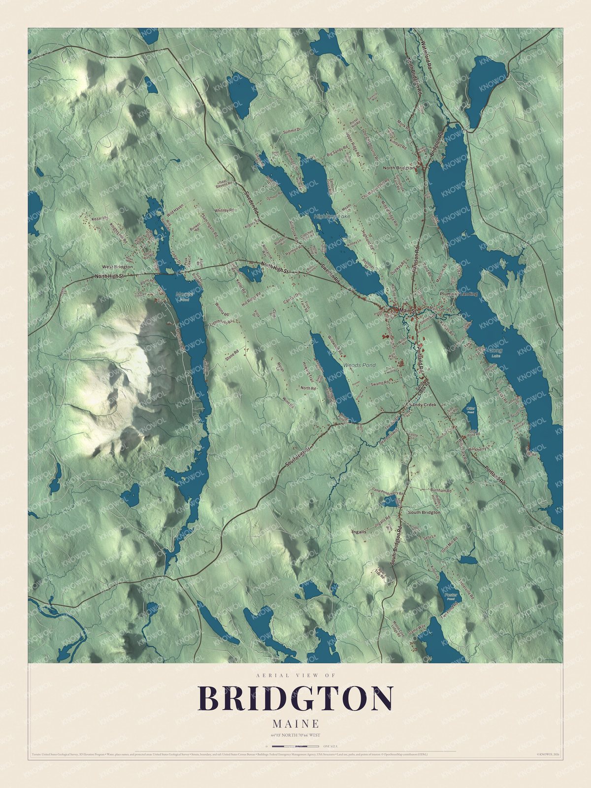
Click to explore a larger preview. The digital watermark does not appear on printed maps.
See it on a wall
The Bridgton map as a framed print. Swipe for more.


Around the villages
Ingalls and North Bridgton are printed on the map. Settlement began at North Bridgton, and it’s home to Bridgton Academy, founded in 1808 at the northern tip of Long Lake. The Farnsworth House stands on State Route 117 near its junction with North Bridgton Road. It was built in 1825 for Dr. Samuel Farnsworth Jr., and its page singles out its delicate Federal woodwork as unusually fine for a house so far from the coast. North Bridgton also holds Maine’s record high temperature, 105 degrees Fahrenheit. In the south of town, on Ingalls Road, is Narramissic, the Peabody-Fitch farmstead. William Peabody, one of the first settlers, probably built the house in 1797, and his descendants, mostly named Fitch, kept it until 1910. Today the Bridgton Historical Society owns it as a museum.
South Bridgton is printed too. Its Congregational church, built in 1870 to a design by the Portland architect Francis H. Fassett, stands on Fosterville Road, and on South Bridgton Road is the 1805 house of Lieutenant Robert Andrews, a Revolutionary War veteran from Boxford who gave land and money for the town’s churches and schools. Henry Cleaves, later governor of Maine, was born in that house in 1840. West Bridgton and Sandy Creek are printed as well. West Bridgton’s main stretch runs along Route 302 across the Moose Pond causeway to the ski area at Pleasant Mountain, and Camp Winona there has run for more than a century. Sandy Creek is mostly homes and summer camps, and a new Bridgton and Saco River Railroad Museum, founded in 2020, has plans for a museum railyard and possibly a tourist railroad on the old right of way between Sandy Creek and Perleys Mills.
Highland Lake and Woods Pond are printed on the map. Highland Lake stretches north from the village to the Sweden town line. North Bridgton Road, Bridgton Road, Sweden Road, Harrison Road and Waterford Road are printed, along with Plummer Landing. Sweden, Harrison and Waterford are among Bridgton’s neighbors.
This Bridgton map makes a handsome addition to an office, library or den, and it can teach children the geography and history of a Lakes Region town. It’s made for anyone who calls Bridgton home, from North Bridgton to South Bridgton, as it looks today. Zoom in on the preview above to explore the details, then click here to get your copy of the Bridgton, Maine map.

Sources
- Bridgton, Maine, Wikipedia
- North Bridgton, Maine, Wikipedia
- Bridgton Academy, Wikipedia
- Bridgton and Saco River Railroad, Wikipedia
- William F. Perry House, Wikipedia
- Benjamin Cleaves House, Wikipedia
- Rufus Porter Museum, Wikipedia
- Farnsworth House (North Bridgton, Maine), Wikipedia
- Peabody-Fitch House, Wikipedia
- South Bridgton Congregational Church, Wikipedia
- Lt. Robert Andrews House, Wikipedia