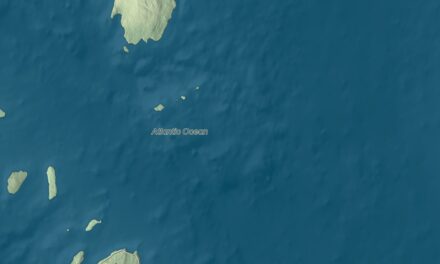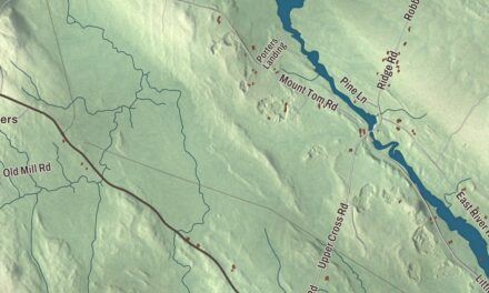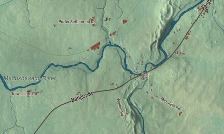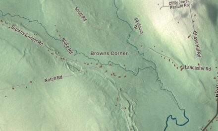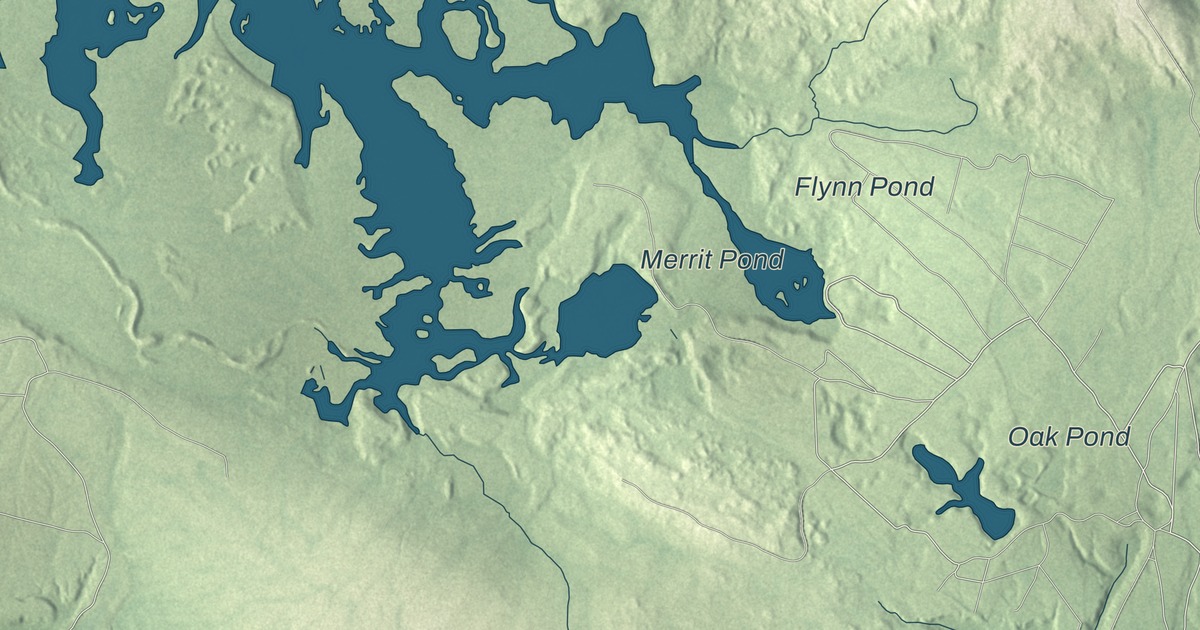
Beddington Road is the first name to find on this map of Deblois, Maine, and Lane Road, Worcester Peat Bog Road, Hatchery Road, Schoodic Pond Road and River Bend Road carry their names across the rest of town. Merrit Pond, Flynn Pond and Oak Pond are on the water. Click here to purchase a print of this map for your wall.
Deblois is a town in Washington County, with 74 people at the 2020 census.
KNOWOL made this map in 2026 from public survey data and gave it the look of an old atlas. The Census Bureau measures Deblois at 36.09 square miles, all but 0.25 of them land, and its files give the roads and the town line. United States Geological Survey elevation data shades the land, and the town’s listed elevation is 210 feet.
A banker’s name
Deblois was incorporated as a town on March 4, 1852, out of what had been Annsburg Plantation, and it’s named for T. A. Deblois, president of the Bank of Portland. The census counted 57 people here in 2010 and 74 in 2020.
The wartime airstrip
The Deblois Flight Strip, two nautical miles southeast of the town center, was built by the United States Army Air Forces about 1942 as an emergency landing field for military planes on training flights. It closed after World War II, and the War Assets Administration turned it over to local government. The Maine Department of Transportation owns it today. It covers 153 acres at an elevation of 217 feet and has a single asphalt runway, 3,520 feet long and 75 feet wide, still open to the public.
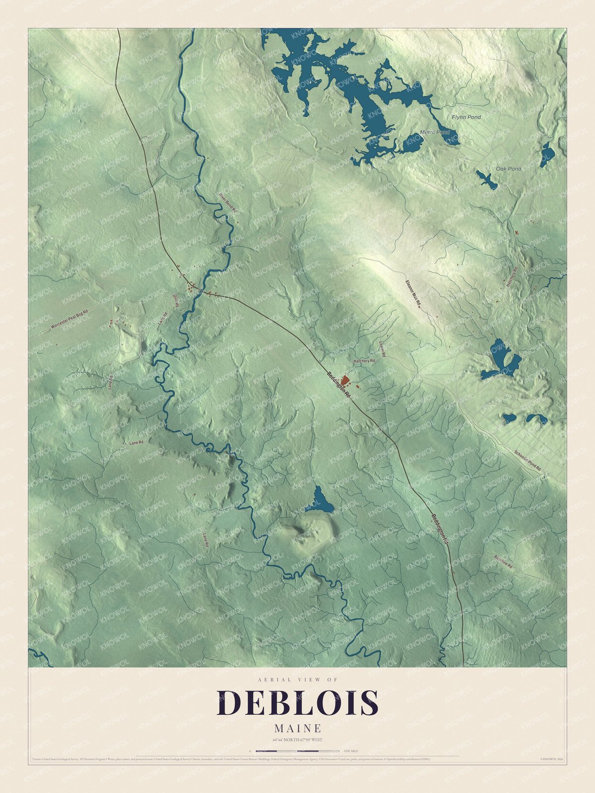
Click to explore a larger preview. The digital watermark does not appear on printed maps.
See it on a wall
The Deblois map as a framed print. Swipe for more.


Around Deblois
Beddington Road is printed on the map, and so are Lane Road and Worcester Peat Bog Road. Hatchery Road, Schoodic Pond Road and River Bend Road are printed too. Merrit Pond, Flynn Pond and Oak Pond are labeled on the map, and the smaller roads around them are drawn in as well.
This Deblois map makes a fine addition to an office, library or den, and it can help teach children the geography and history of the area. It’s made for everyone who calls Deblois home, from Beddington Road to the shore of Oak Pond, as it looks today. Zoom in on the preview above to explore the details, then click here to get your copy of the Deblois, Maine map.

Sources