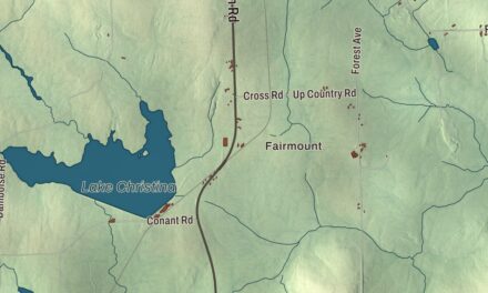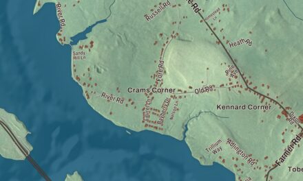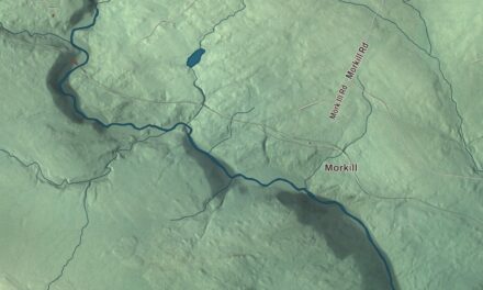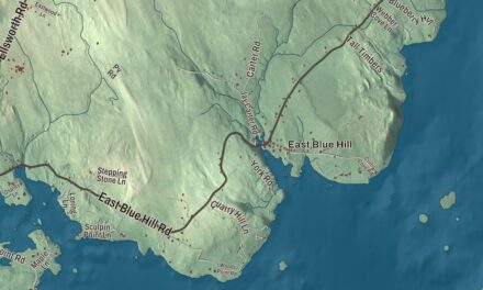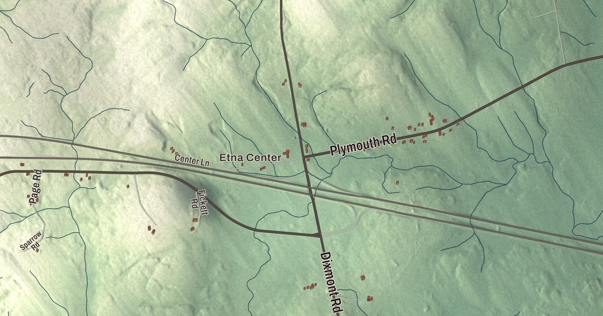
Etna Center is the place to start on this map of Etna, Maine. Dixmont Road, Etna Road, Plymouth Road and West Plymouth Road are here, along with Stage Road and Lakins Road. Click here to purchase a print of this map for your wall.
Etna is a town in Penobscot County, with 1,226 people at the 2020 census.
KNOWOL made this map in 2026 from public survey data and gave it the look of an old atlas. The Census Bureau measures the town at 24.97 square miles, almost all of it land, with just 0.16 square miles of water, and its files give the roads and the town line. United States Geological Survey elevation data shades the ground, which has a listed elevation of 456 feet.
From Crosbytown to Etna
The town was first known as Crosbytown, after its first proprietor, General John Crosby of Hampden. It was incorporated as Etna in 1820, named for Mount Etna in Italy. Around 1850 it had 802 people.
State Route 143 crosses the town from south to north. It comes in from Dixmont past an elementary school at the town line, meets Route 69 near Etna Center and passes under Interstate 95 at its interchange 167, then climbs a small hill and comes down to U.S. Route 2 and Route 100. Past that corner it crosses the railroad at the center of the Etna settlement and runs west of Etna Pond on its way into Stetson.
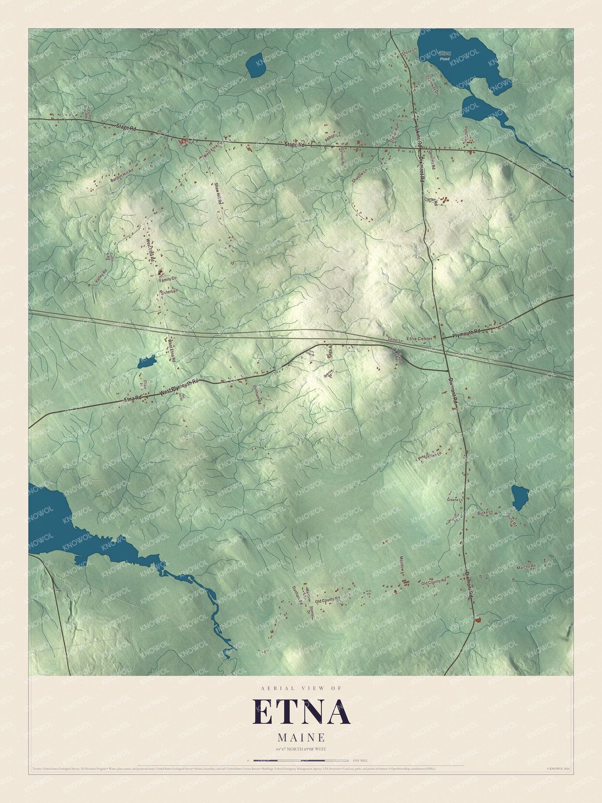
Click to explore a larger preview. The digital watermark does not appear on printed maps.
See it on a wall
The Etna map as a framed print. Swipe for more.


Camp Etna
Camp Etna is a summer colony where spiritualists have gathered every year since 1876, when Daniel Buswell, Jr. held the first meeting in a tent. By 1880 the camp had a temple seating 1,100, a clubhouse and 78 cottages. A monument stands at the grave of the camp’s leader and benefactor, the medium Mary Scannell Pepper Vanderbilt, and a 1921 festschrift in her honor, Mary S. Vanderbilt: A Twentieth Century Seer, included an essay by the spiritualist writer Mark Alton Barwise. In 2019 the writer Mira Ptacin published The In-Betweens: The Spiritualists, Mediums, and Legends of Camp Etna, drawing on her own time at the camp along with its history.
Around Etna
Dixmont Road and Etna Road are printed on the map, and so are Plymouth Road, West Plymouth Road, Stage Road and Lakins Road. Etna Center is printed too. Dixmont Road shares its name with Dixmont, where Route 143 begins. The smaller roads and lanes are drawn in as well.
This Etna map makes a fine addition to an office, library or den, and it can help teach children the geography and history of the area. It’s made for everyone who calls Etna home, from Etna Center to West Plymouth Road, as it looks today. Zoom in on the preview above to explore the details, then click here to get your copy of the Etna, Maine map.

Sources