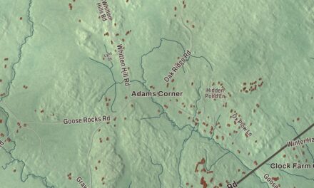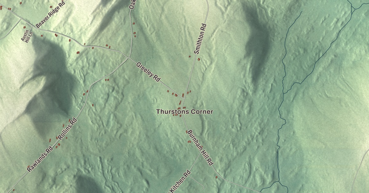
Thurstons Corner, Hutchins Corner and Gregorys Corner are names to find on this Freedom map. Sandy Pond is printed too, with Belfast Road and Goosepecker Ridge Road among the roads across the aerial view. Click here to purchase a print of this map for your wall.
Freedom is a town in Waldo County.
KNOWOL made this map in 2026 from public survey data, giving Freedom’s roads, buildings, neighborhoods and waterways the look of an old atlas. United States Geological Survey elevation data shades the terrain, and Census Bureau files provide the roads and town boundary. The 2020 census counted 711 residents here.
From Smithstown to Freedom
Stephen Smith, a Revolutionary War veteran, settled here in 1794. The place was called Smithstown Plantation and later Beaver Hill Plantation before it was incorporated as Freedom on June 11, 1813. Freedom Academy followed in 1836.
Hay and potatoes were principal farm products. Sandy Stream, fed by Sandy and Duck ponds, supplied water power to the mills. The town had mills making flour, cornmeal, lumber and shingles, as well as a shovel-handle factory, woolen works and a tannery.
A telephone pioneer
George Willard Coy was born in Freedom in 1836. In New Haven, Connecticut, he developed the switching equipment for a commercial telephone exchange that opened in 1878. He worked with Herrick Frost and Walter Lewis, and the exchange began with twenty-one customers on eight telephone lines.
Coy also helped produce a telephone directory that year, a single sheet carrying fifty names. The local connection is his birthplace.
The Lost Kitchen
Chef and author Erin French owns The Lost Kitchen in Freedom. Her books include The Lost Kitchen cookbook, published in 2017, and Big Heart Little Stove, published in 2023. The restaurant has also been the subject of a Magnolia Network television series.
Those are contemporary parts of Freedom’s story alongside the older farms and mills. The town still has its own municipal identity, with corners and roads that can be found together in the map’s aerial view.
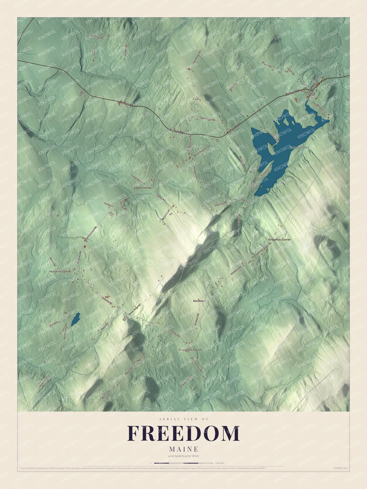
Click to explore a larger preview. The digital watermark does not appear on printed maps.
See it on a wall
The Freedom map as a framed print. Swipe for more.


Corners around Sandy Pond
Look for Thurstons Corner, Hutchins Corner and Gregorys Corner, then Sibley Corner and Smithton. Sandy Pond is printed by name. Belfast Road, North Palermo Road, Greeley Road, Smithton Road, Palermo Road and Goosepecker Ridge Road are printed too.
Sandy Stream drains the town, and Sandy Pond is also called Freedom Pond in the town’s geography account. The pond’s connection to the mill stream is part of the town’s industrial history. The map lets you follow the familiar road names while seeing the surrounding buildings and smaller roads.
If you call Freedom home, this map offers a view of its pond, roads and corners as it looks today. It can hang in an office, library or den and help teach children the geography and history of the town. Zoom in on the preview above to explore the details, then click here to get your copy of the Freedom, Maine map.

Sources