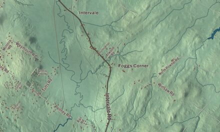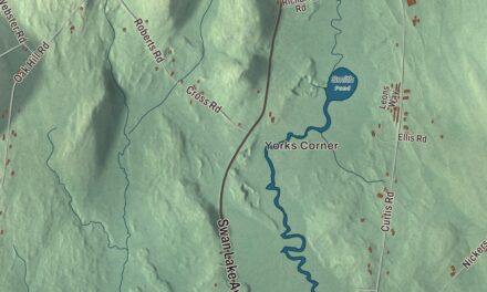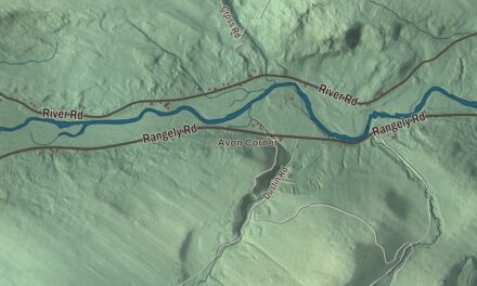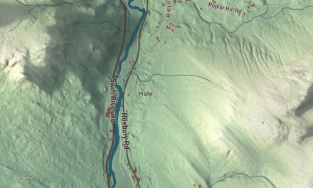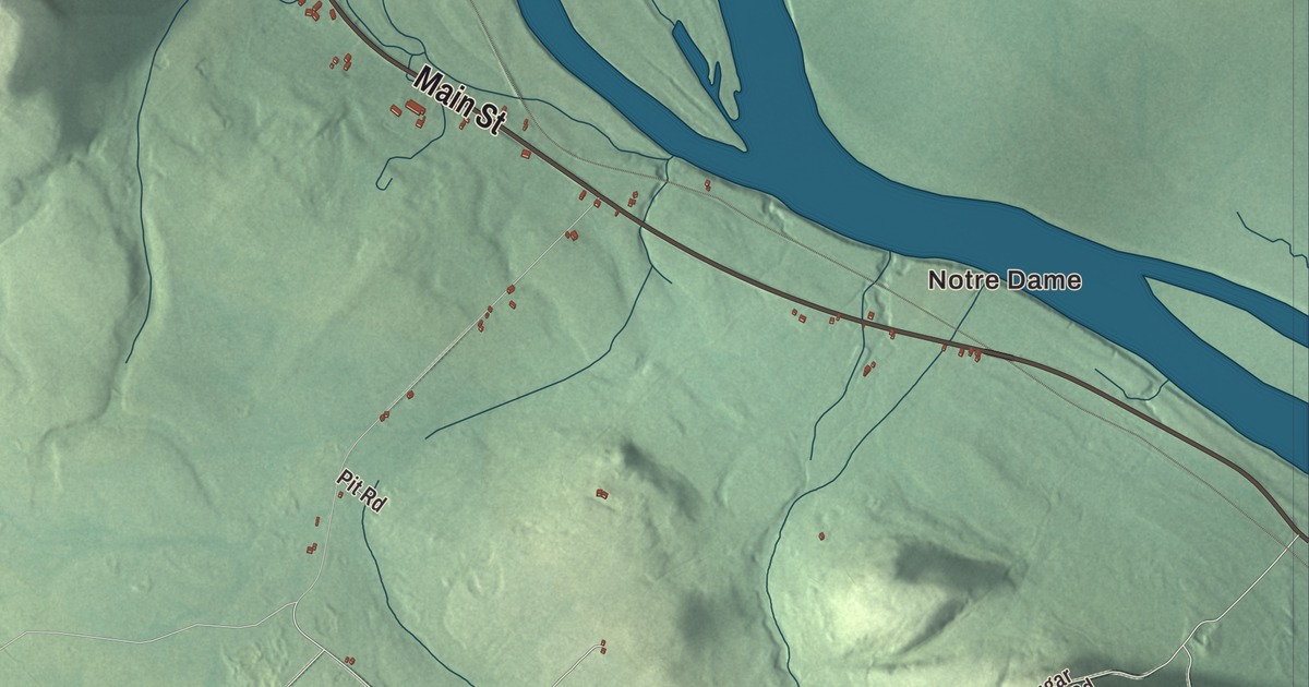
Notre Dame, Lille and Daigle Mill are familiar names to find on the Grand Isle map. Main Street and Lavels Lake give you more places to explore in the aerial view. Click here to purchase a print of this map for your wall.
Grand Isle is a town in Aroostook County, beside the Saint John River.
KNOWOL made this map in 2026 from public survey records, combining modern geography with the look of a vintage atlas. United States Geological Survey elevation data shapes the terrain, and Census Bureau files supply the roads and municipal boundary. Buildings, ponds and waterways complete the aerial view.
Named for an island
Grand Isle takes its name from an island in the Saint John River near the town center. The town was incorporated in 1869. The village of Grand Isle lies in the northwestern part of the town, and the whole municipality had 366 residents at the 2020 census.
From Grand Isle to public service
Roger Parent was born in Grand Isle and attended elementary school here before going to high school in Van Buren. He joined the inaugural class of Peace Corps volunteers and served in Thailand from 1961 to 1963. His work there included teaching carpentry and English.
Parent later served as mayor of South Bend, Indiana, taking office in 1980. After his time as mayor, he returned to Peace Corps work and later helped establish an organization supporting educational opportunities. Those achievements happened beyond Maine, with his early schooling rooted in Grand Isle.
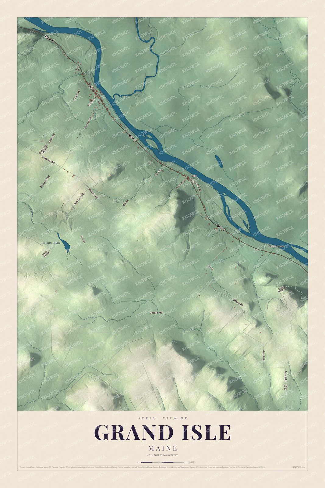
Click to explore a larger preview. The digital watermark does not appear on printed maps.
See it on a wall
The Grand Isle map as a framed print. Swipe for more.


Exploring the Grand Isle map
Notre Dame, Daigle Mill and Lille are printed on this map. Main Street, Tree Farm Road, Doucette Road and Grivois Road appear by name, as do Morneault Road and Corbin Road. Lavels Lake has its own printed name, giving you another point to return to while exploring the roads and town boundary.
For people who call Grand Isle home, the map brings familiar roads and places together as it looks today. Hang it in an office, library or den, or use it to teach children the geography and history of the area. Zoom in on the preview above to explore the details, then click here to get your copy of the Grand Isle, Maine map.

Sources