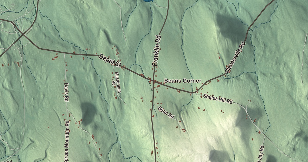
Beans Corner and Chisholm are places to look for on this Jay map. Main Street and East Dixfield Road offer another way into the aerial view, with roads, buildings and terrain gathered together. Click here to purchase a print of this map for your wall.
Jay is a town in Franklin County.
KNOWOL made this map in 2026 using public survey records, United States Geological Survey elevation data and Census Bureau files. We arranged Jay’s streets, buildings, neighborhoods, ponds and waterways, and terrain, the town boundary and the pattern of buildings with the relief, lettering and layout of an atlas.
Granite and paper
The plantation called Phipps-Canada became the town of Jay in 1795. It was named for John Jay, the first chief justice of the United States Supreme Court. Canton became a separate town in 1821.
North Jay had a sawmill, brickyard and granite quarry. The North Jay Granite Company was established in 1884, and its white granite went into buildings including Grant’s Tomb in New York.
Hugh J. Chisholm built the Otis Falls Pulp & Paper Company mill in southern Jay in 1888. The village of Chisholm developed beside it, and the mill became part of International Paper in 1898.
The North Jay Grange
The North Jay Grange Store building on East Dixfield Road dates to 1895. Its ground floor housed the store, with a meeting hall and stage above and a kitchen on the upper floor. The store closed in 1976.
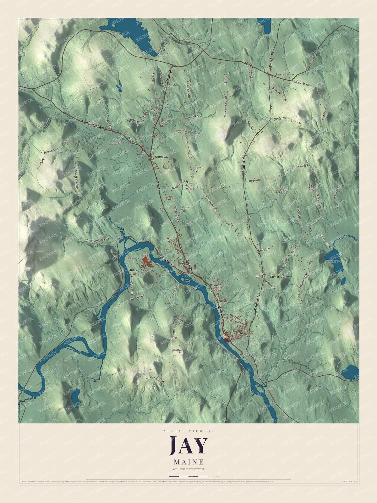
Click to explore a larger preview. The digital watermark does not appear on printed maps.
See it on a wall
The Jay map as a framed print. Swipe for more.


Explore the Jay map
Beans Corner and Chisholm are printed on the artwork, along with North Jay, Riley and Stones Corner. Parker Pond is labeled as well.
Main Street, Depot Street and East Dixfield Road are among the printed road names. Look for Franklin Road, Intervale Road and Tessier Road, then compare their routes with the buildings around them.
This map shows Jay as it looks today, made for people who call Jay home. Hang it in your office, library, or den, or use it to teach children the geography and history of the area. Zoom in on the preview above to explore the details, then click here to get your copy of the Jay, Maine map.

Sources