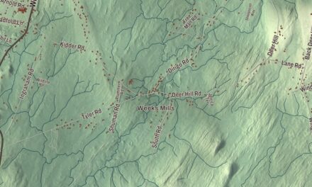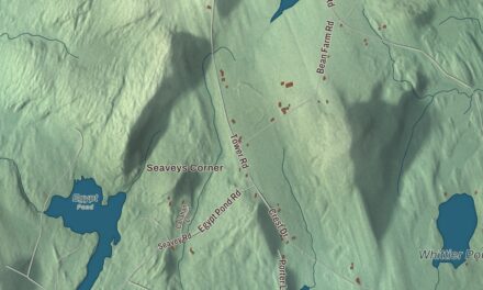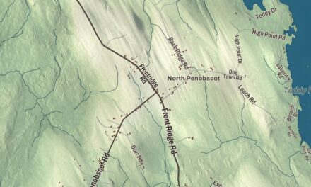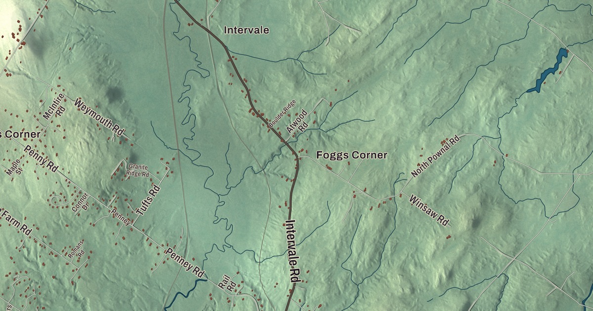
Intervale Road, Lewiston Road and the Shaker Village are names New Gloucester people know well, and this map lays them out with Upper Gloucester and Sabbathday Pond. Click here to purchase a print of this map for your wall.
New Gloucester is a town in Cumberland County.
KNOWOL made this map in 2026 from public survey records, United States Geological Survey elevation data and Census Bureau files. Its atlas layout brings together New Gloucester’s roads, buildings, ponds and waterways, and terrain, the town boundary and the pattern of buildings.
Settlers from Cape Ann
New Gloucester began with a 1736 grant from the Massachusetts Bay Colony: a tract of 6 square miles, given to sixty people from the fishing town of Gloucester on Cape Ann. The first settlers came up the new road from North Yarmouth and built cabins on Harris Hill between 1739 and 1742. The settlement was abandoned during King George’s War, and when settlers returned in 1753 they began a two-story blockhouse, fifty feet square, that was home to twelve families for six years. It served for worship and town affairs until the first meetinghouse was built in 1773, and in 1788 it was sold at auction for seven bushels of corn and moved to a farm in the Intervale.
The town was incorporated on March 8, 1774, and named for Gloucester, Massachusetts, the old home of many of its settlers. From 1791 until Oxford County was organized in 1805, New Gloucester was a half shire town, sharing the county courts with Portland. With good soil for farming, it grew into a prosperous farming community, and in 1858, when 1,848 people lived here, it also had six sawmills, two gristmills and two tanneries.
The village center, where Route 231 meets Gloucester Hill Road and Cobbs Bridge Road, is the New Gloucester Historic District. Its first wood-frame house, built by Isaac Parsons in 1761, still stands there, with a 1782 tavern, the town’s first cemetery, the 1838 Greek Revival Congregational Church and a reduced-size replica marking the site of the blockhouse.
The Shakers of Sabbathday Lake
Shaker missionaries founded a community here at what was then called Thompson’s Pond Plantation, and it grew to more than two hundred members in less than a year. The Shakers raised their meetinghouse in 1794 and built their first dwelling across the road the next year. By 1850 the community had grown to 1,900 acres with 26 large buildings. Sabbathday Lake Shaker Village is the last active Shaker community, and the whole property was declared a National Historic Landmark in 1974.
Elder Joseph Brackett, the presumed author of the Shaker dancing song “Simple Gifts,” died at Sabbathday Lake in 1882. He wrote the song in 1848, and it was largely unknown outside Shaker communities until Aaron Copland used the melody in Appalachian Spring in 1944.
People of New Gloucester
Sara Plummer Lemmon, born in New Gloucester in 1836, became a botanist in California. Mount Lemmon in Arizona is named for her, and she wrote the bill that made the golden poppy California’s state flower in 1903. Samuel Fessenden began his law practice in New Gloucester before moving to Portland in 1822, and he was one of the early members of the anti-slavery party in Maine. His son William Pitt Fessenden became Secretary of the Treasury.
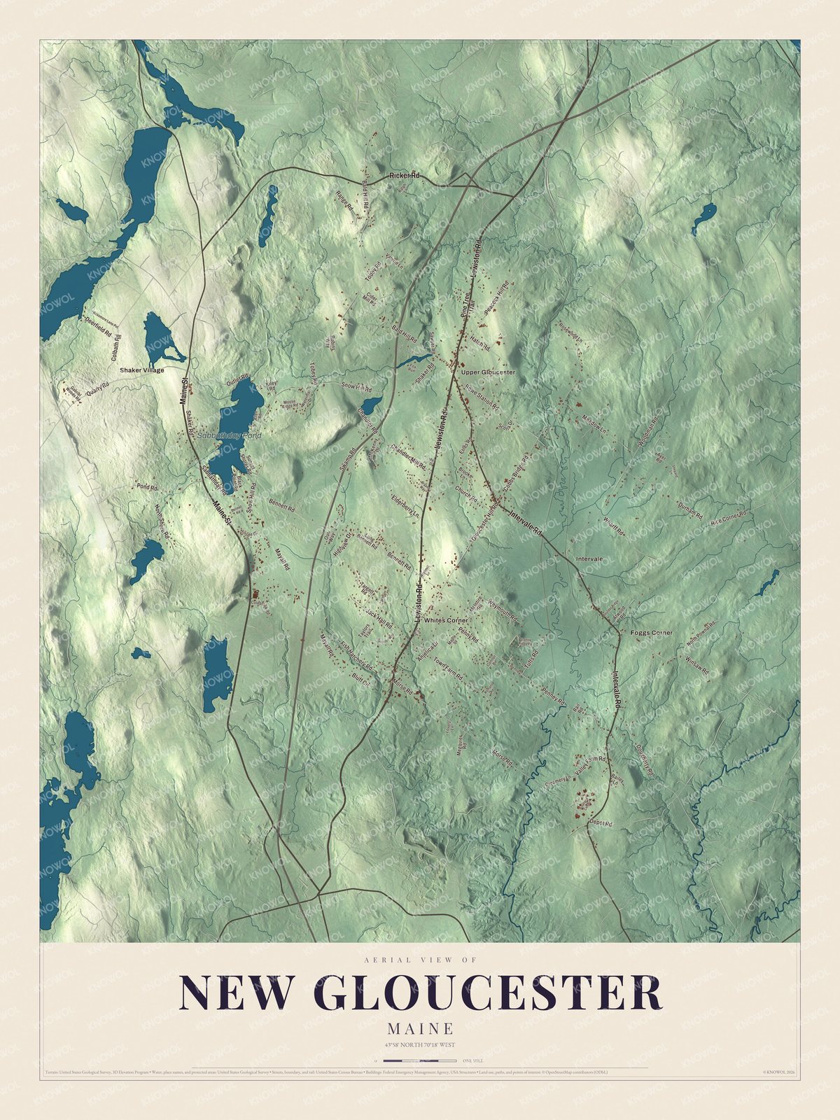
Click to explore a larger preview. The digital watermark does not appear on printed maps.
See it on a wall
The New Gloucester map as a framed print. Swipe for more.


Explore the New Gloucester map
Start with Foggs Corner and Intervale, then follow Maine Street, Ricker Road, Intervale Road, Lewiston Road, Morse Road and Bald Hill Road across town. Those are printed names, and Shaker Village, Upper Gloucester and Whites Corner sit farther out.
Sabbathday Pond is labeled as well. Intervale Road passes Intervale Farm, whose brick farmhouse dates to about 1811 from an inscription on an attic beam, and the Universalist Meeting House, built in 1839 for a congregation formed in 1805. The Royal River drains the town; trace its course across the map.
For people who call New Gloucester home, this map shows the town as it looks today. Put it in your office, library, or den, or use it to teach children the geography and history of the area. Zoom in on the preview above to explore the details, then click here to get your copy of the New Gloucester, Maine map.

Sources