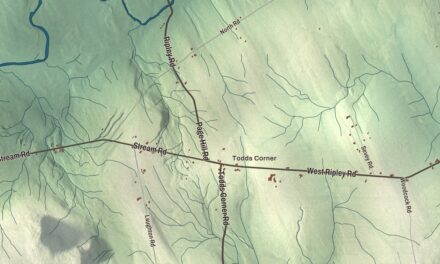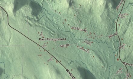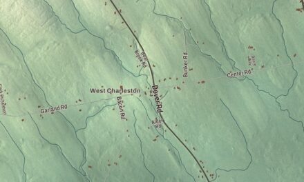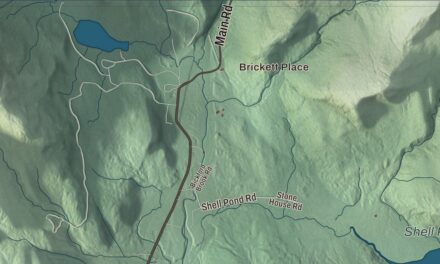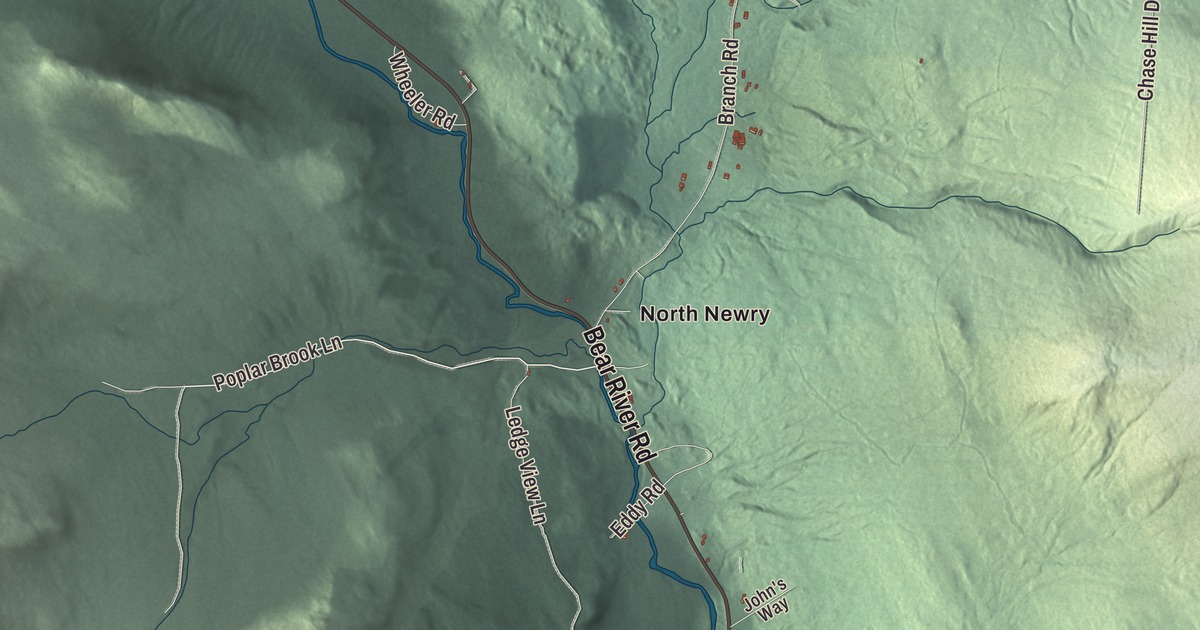
Sunday River Road, Skyline Drive and the Bear River run through this map of Newry, the Oxford County town known as the home of Sunday River. Click here to purchase a print of this map for your wall.
Newry is a town in Oxford County.
KNOWOL made this map in 2026 from public survey records, United States Geological Survey elevation data and Census Bureau files. Its atlas layout brings together Newry’s roads, buildings, ponds and waterways, and terrain, the town boundary and the pattern of buildings.
From Sunday River Plantation to Newry
Newry was first called Sunday River Plantation. Benjamin Barker and his two brothers from Methuen, Massachusetts, settled here in 1781 with Ithiel Smith of Cape Elizabeth, but the settlement was abandoned the next year. In 1794 John J. Holmes of New Jersey bought the land with his sister’s surname, Bostwick, on the deed. On June 15, 1805, settlers who had come from Newry, in what’s now Northern Ireland, renamed Bostwick Plantation for their old home; the name comes from the Irish for “the grove of yew trees.”
The trade route from Portland to Errol, New Hampshire, now Route 26, was finished through Newry in 1802. Farms grew up on the intervales, where the soil was excellent and hay was the main crop, and animals grazed on the mountain slopes. A sawmill and gristmill were built on the Bear River, and by 1870 the town had 416 people. The Bear River rises in Grafton Notch and joins the Androscoggin in Newry, with Route 26 following its whole course.
Along Sunday River Road
The Sunday River Bridge, known locally as the Artists Bridge, is a covered bridge built in 1872 beside the Sunday River Road crossing. It carried the road until the road was moved in 1955, it’s now open to people on foot, and it’s one of Maine’s few surviving 19th-century covered bridges. Also on Sunday River Road are the Lower Sunday River School, a one-room schoolhouse the town built in 1895 that keeps its original desks with glass inkwells, and the Foster Family Home, a farm held by the Foster family since the early 1800s, with the family cemetery along the road.
Sunday River Ski Resort, near where the Sunday River meets the Androscoggin, is one of Maine’s largest and most visited ski resorts. Its vertical drop of 2,340 feet is the second largest in Maine, after Sugarloaf. In 1960 it had four ski runs, a T-bar lift and a rope tow, and it has hosted the NCAA skiing championships three times.
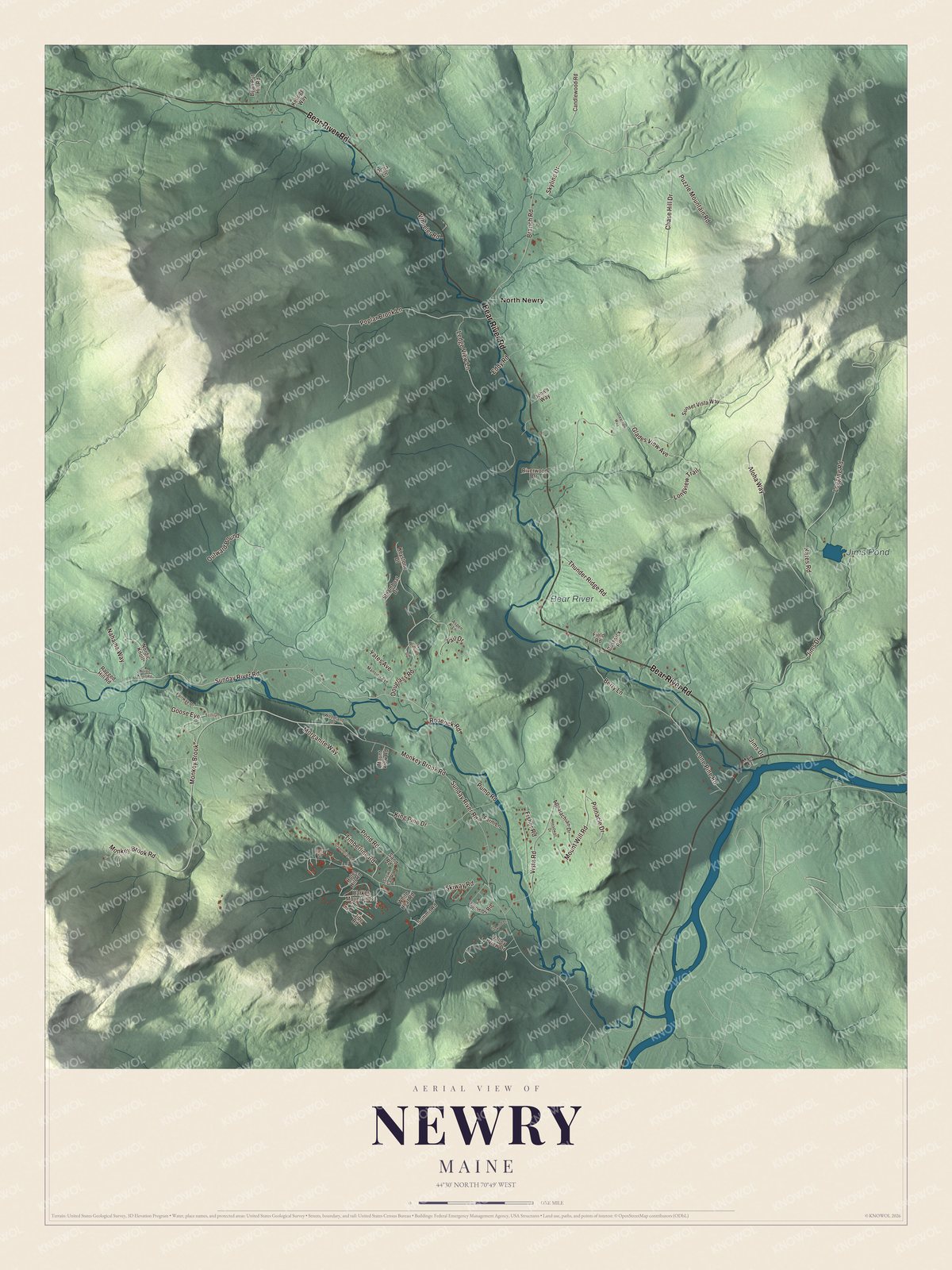
Click to explore a larger preview. The digital watermark does not appear on printed maps.
See it on a wall
The Newry map as a framed print. Swipe for more.


Explore the Newry map
Start with North Newry, then follow Bear River Road, Skyline Drive, King Pine Drive, Poplar Brook Lane, Sunday River Road and Lone Pine Road across town. All of those names are printed on the artwork.
Jims Pond and the Bear River are labeled as well. Follow Sunday River Road past the old schoolhouse and the covered bridge, then trace the Bear River down its valley to the Androscoggin.
For people who call Newry home, this map shows the town as it looks today. Put it in your office, library, or den, or use it to teach children the geography and history of the area. Zoom in on the preview above to explore the details, then click here to get your copy of the Newry, Maine map.

Sources