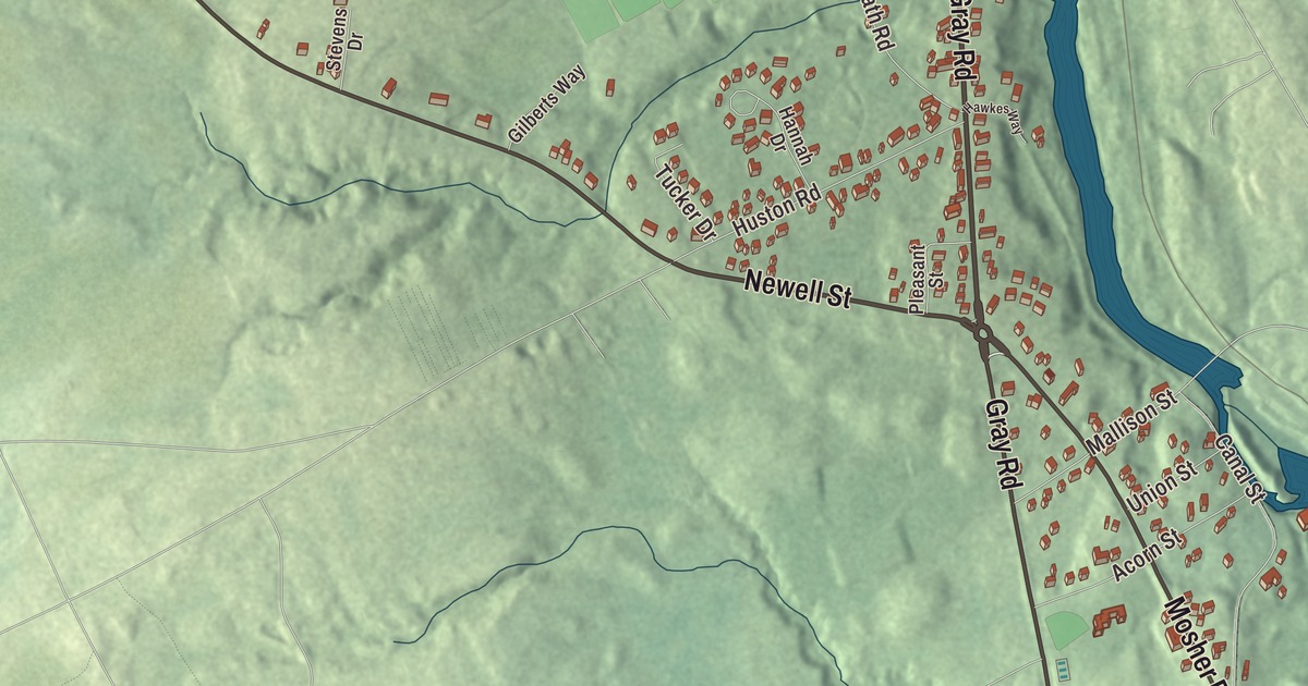
Gray Road and Newell Street give you places to begin this Little Falls map. Look for Sebago Lake Road and Canal Street, then explore the community’s buildings and terrain. Click here to purchase a print of this map for your wall.
Little Falls is a named community in Cumberland County.
KNOWOL made this map in 2026 from public survey records, United States Geological Survey elevation data and Census Bureau files. Its atlas layout brings together Little Falls’s streets, buildings, ponds and waterways, and terrain, the community boundary and the pattern of buildings. The community is mapped with its own boundary. The finished artwork gives Little Falls its own place title.
The Presumpscot and a canal route
Little Falls is a census-designated community in Gorham, beside the Presumpscot River. South Windham lies directly across the river in the separate town of Windham.
The Cumberland and Oxford Canal opened in 1830, linking the inland lakes with Portland. It followed the Presumpscot through Gorham and neighboring towns, carrying lumber, firewood and other goods toward the port, while manufactured goods traveled inland.
Before 2010, Little Falls belonged to the combined Little Falls-South Windham census-designated place. The two communities are now described separately in census geography.
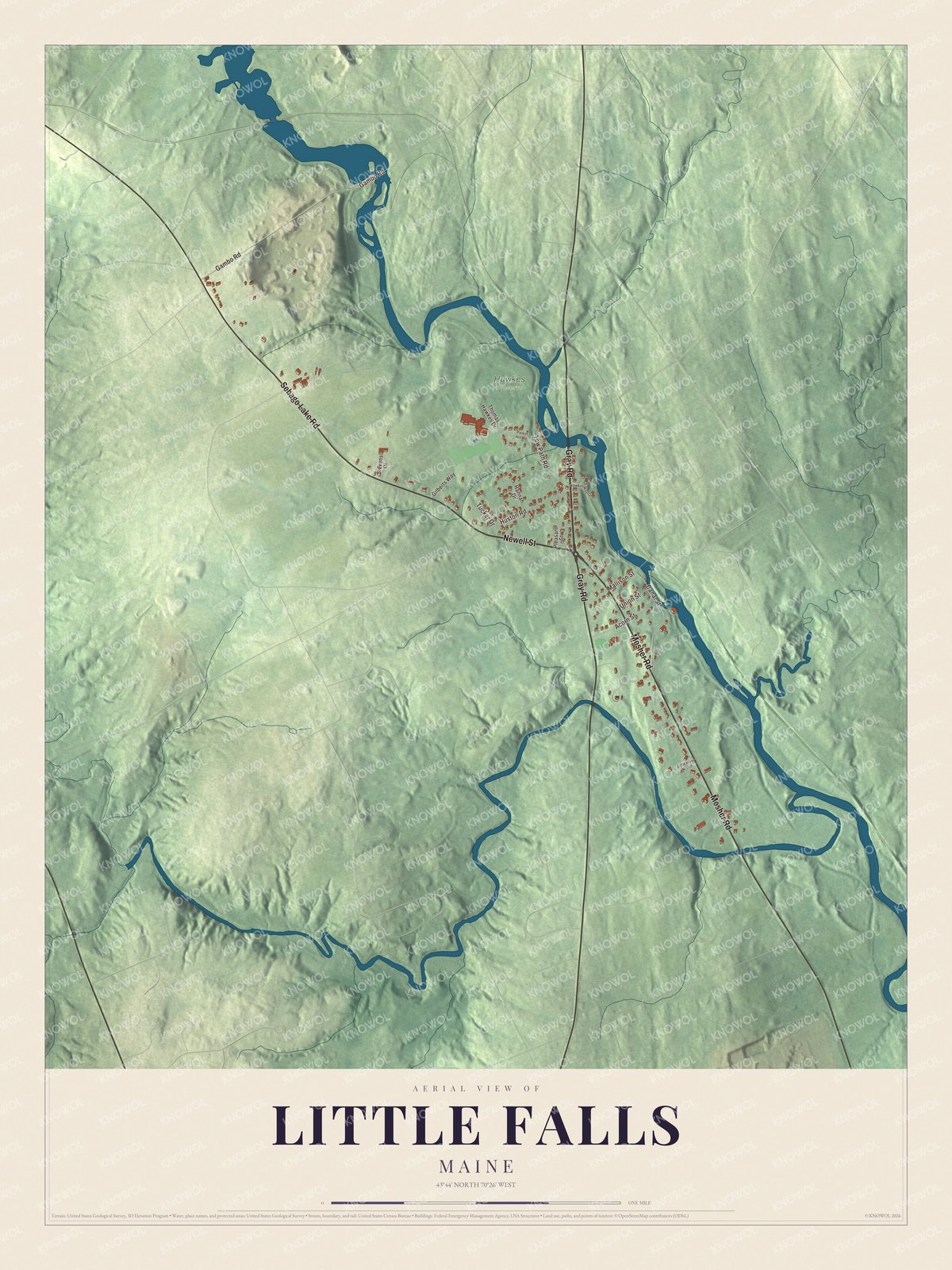
Click to explore a larger preview. The digital watermark does not appear on printed maps.
See it on a wall
The Little Falls map as a framed print. Swipe for more.


Explore the Little Falls map
Gray Road, Newell Street and Sebago Lake Road are printed road names. Mosher Road, Gambo Road and Canal Street are roads to find in the preview as well.
Compare the streets with the buildings and waterways around them. Zooming closer lets you examine a familiar part of the community and its terrain.
For people who call Little Falls home, this map shows the community as it looks today. Put it in your office, library, or den, or use it to teach children the geography and history of the area. Zoom in on the preview above to explore the details, then click here to get your copy of the Little Falls, Maine map.

Sources