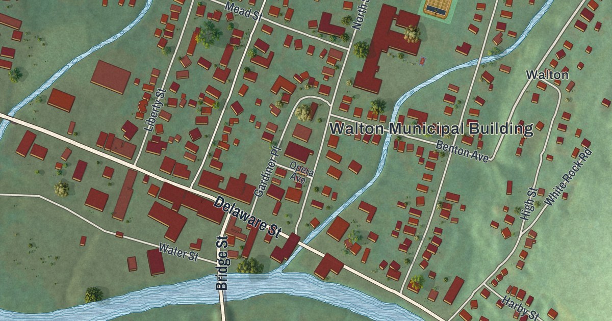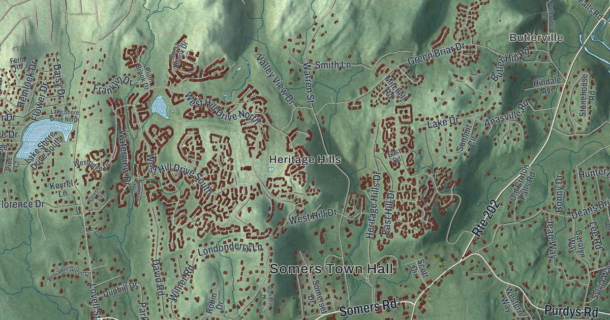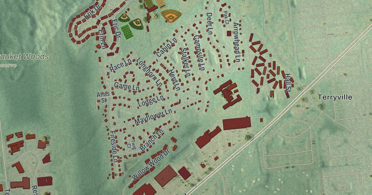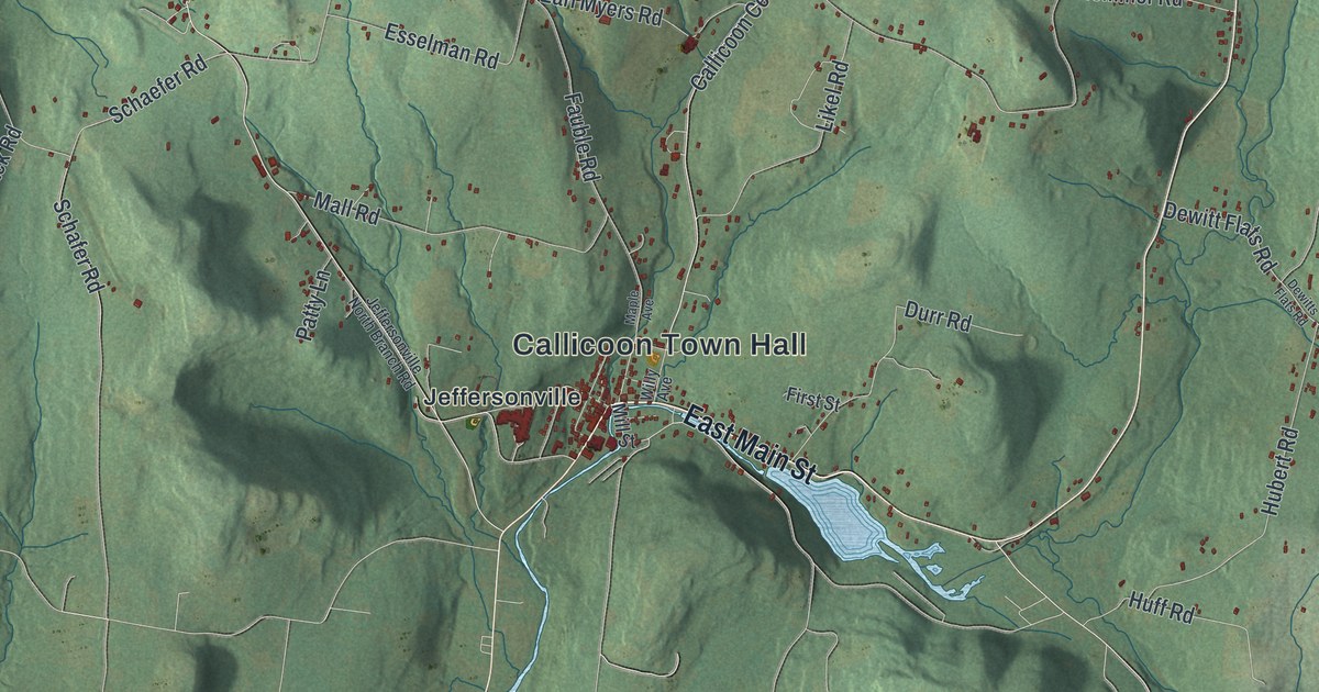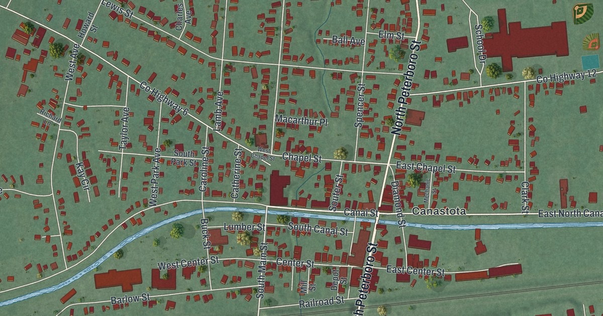
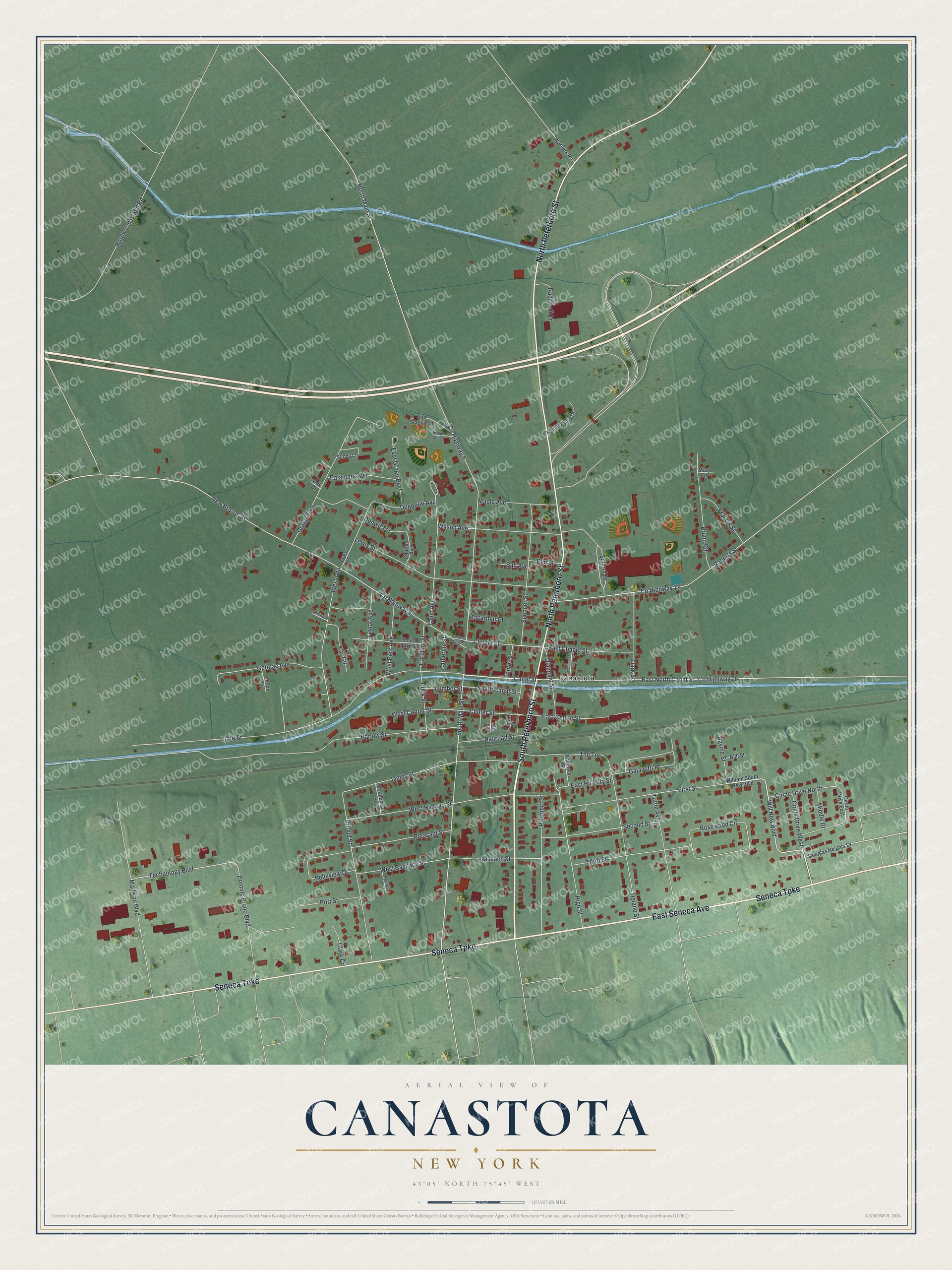
This beautifully detailed map of Canastota, New York was created in 2026 using aerial imagery combined with modern topographical, census, street and landmark data. It’s a one-of-a-kind view of Canastota that combines accurate data with a vintage aesthetic. The map shows every building in its true location, many of the roads carry their names, and the shaded topographic relief shows the shape of the land.
Explore an aerial view of Canastota, New York
On the map you’ll find Peterboro Street, Seneca Avenue, Seneca Turnpike, Will New Boulevard, Canal Street, and more. If you look closely you can even find your house accurately drawn in its correct location. Zoom in on the preview to look for yours.
Did You Know?
Captain Reuben Perkins founded Canastota. He was a Revolutionary War veteran who fought at Saratoga and Stony Point. In 1810 he bought 329 acres from the Oneida Nation and settled his family there. He later won the contract to build two miles of Erie Canal through the village.
Take a closer look at the Canastota map
Names on this map
These names are printed on this map.
Places: Canastota.
Streets and roads: South Peterboro Street, East Seneca Avenue, Seneca Turnpike, North Peterboro Street, Will New Boulevard, Canal Street, South Main Street, East North Canal Street, Chapel Street, Technology Boulevard, County Highway 5, Dominc Bruno Boulevard.
More street names, A to Z
Anderson Street, Ball Avenue, Ball Street, Barlow Street, Belleview Drive, Bruno Road, Buck Street, Caroline Street, Catherine Street, Center Street, Charles Avenue, Circle Drive East, Circle Drive North, Circle Drive West, Clark Circle, Clark Street, County Highway 6, County Highway 12, County Highway 76, Delano Street, Denwit Terrace, Depot Street, Deppoliti Avenue, Diamond Street, Douglas Heights Drive, East Center Street, East Chapel Street, East Grago Boulevard, East Hickory Street, Elm Street, First Street, Francis Street, Galavotti Place, Getmac Avenue, Grago Boulevard, Hall of Fame Drive, Hardwood Island Road, High Street, Howard Street, James Street, Joe Stagnit Lane, Joseph Stag, Kay Circle, Lamb Avenue, Lenox Lane, Lewis Street, Lumber Street, Macarthur Place, Madison Boulevard, Maple Avenue, Mary Street, McPhearson Street, Mechanic Street, Middle Drive, Mill Street, New Boston Street, North Main Street, Oak Drive, Palamara Avenue, Pleasant Street, Port Street, Prospect Street, Railroad Street, Rapasadi Drive, Rasbach Street, Ravine Street, Richard Lane, Roberts Street, Rosewood Circle, Sandy Lane, School Drive, Second Street, Sgarlata Place, Souter Street, South Canal Street, South Park Street, Spencer Street, State Street, Stroud Street, Taylor Avenue, The Terrace, Third Street, Tuttle Avenue, Warners Road, West Avenue, West Center Street, West Chapel Street, West Hickory Street, West Park Avenue, West Rasbach Street, William South New Boulevard, Wilson Avenue.
See it on a wall
The Canastota map as a framed print. Swipe for more.


This beautifully detailed map of Canastota makes an attractive addition to your office, library, or den, and it can even be used to teach children the geography and history of the area. It also makes a great gift for anyone with Canastota roots. When you’re done exploring, click here to get your copy of the Canastota map.