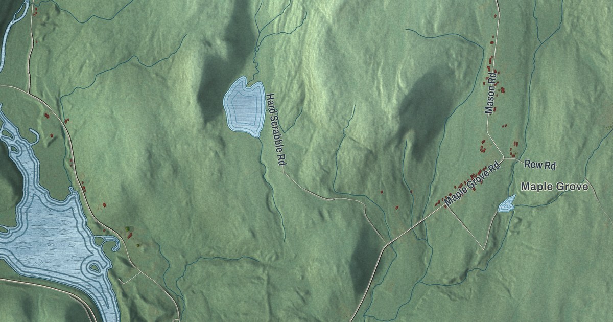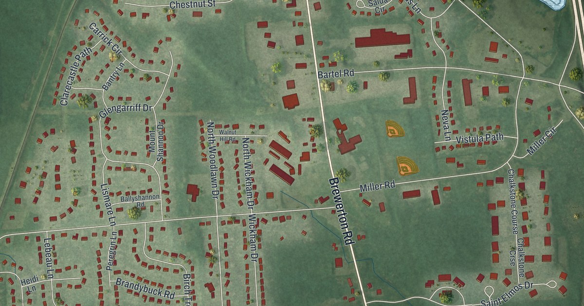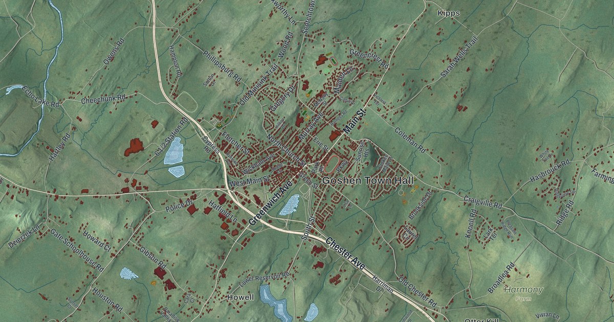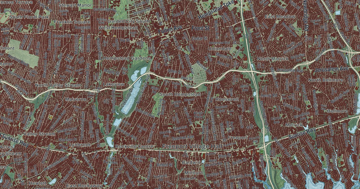
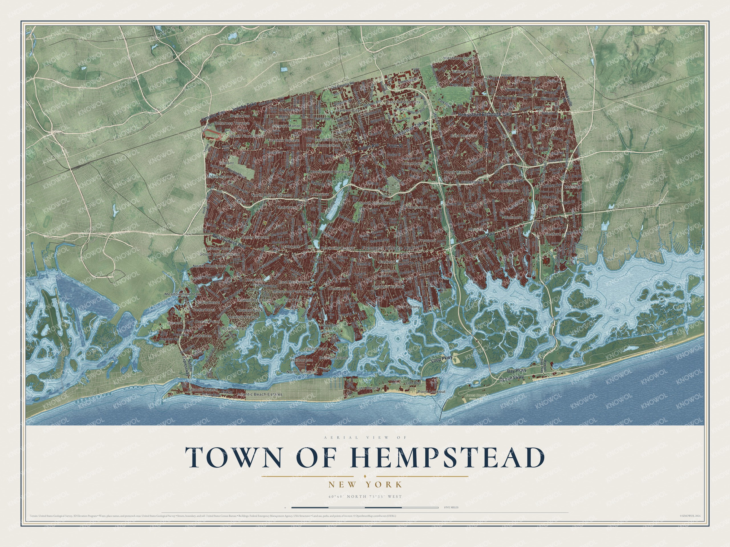
This beautifully detailed map of the Town of Hempstead, New York was created in 2026 using aerial imagery combined with modern topographical, census, street and landmark data. It’s a one-of-a-kind view of the Town of Hempstead that combines accurate data with a vintage aesthetic. The map shows every building in its true location, many of the roads carry their names, and the shaded topographic relief shows the shape of the land.
Explore an aerial view of the Town of Hempstead, New York
On the map you’ll find Freeport Village Hall, Atlantic Beach, Baldwin, Baldwin Harbor, Barnum Island, Bay Colony, Belmont Park, and Jones Beach State Park, along with Sunrise Highway, Hempstead Turnpike, Hempstead Bethpage Turnpike, Bay Parkway, and more. If you look closely you can even find your house accurately drawn in its correct location. Zoom in on the preview to look for yours.
Did You Know?
The first settlers reached Hempstead in 1644. They found a grassy, well-watered plain where their cattle grew fat. The untouched soil grew fine timothy, rye, wheat, and corn. The twenty or so families in the settlement prospered. That’s from the 1940 WPA guide to New York.
Take a closer look at the Town of Hempstead map
Names on this map
These names are printed on this map.
Places: Freeport Village Hall, Belmont Park, Jones Beach State Park, Alden Manor, Atlantic Beach, Atlantic Beach Estates, Baldwin, Baldwin Harbor, Barnum Island, Bay Colony, Bay Park, Bellerose, Bellerose Terrace, Bellmore, Cedarhurst, East Garden City, East Meadow, East Rockaway, Elmont, Franklin Square, Freeport, Garden City, Garden City South, Green Acres, Harbor Isle, Hempstead Gardens, Hewlett, Hewlett Bay Park, Hewlett Harbor, Hewlett Neck, Inwood, Island Park, Lakeview, Lawrence, Levittown, Lido Beach, Lynbrook, Malverne, Malverne Park Oaks, Meadowmere Park, Merrick, Millburn, North Bellmore, North Lynbrook, North Merrick, North Valley Stream, North Woodmere, Ocean Point, Oceanside, Point Lookout, Rockville Centre, Roosevelt, Salisbury, Seaford, South Floral Park, South Hempstead, South Valley Stream, Stewart Manor, Uniondale, Valley Stream, Wantagh, West Hempstead, Westbury South, Woodmere and Woodsburgh.
Streets and roads: Sunrise Highway, Hempstead Turnpike, Hempstead Bethpage Turnpike, Bay Parkway, Ocean Parkway, Newbridge Road, Loop Parkway, Front Street, West Sunrise Highway, Jerusalem Avenue, Fulton Avenue, Jericho Turnpike.
More street names, A to Z
1 Place, 14th Street, Abbey Lane, Alan Drive, Albany Avenue, Albro Lane, Alken Avenue, Allen Road, Allen Street, Alnwick Road, Ann Street, Arcadia Avenue, Archer Street, Ardsley Boulevard, Argyle Road, Arlington Drive, Ash Street, Atlantic Avenue, Atlas Avenue, Auerbach Lane, Austin Boulevard, Ava Drive, Babylon Turnpike, Baldwin Road, Balsam Lane, Barrett Road, Barrister Road, Bay Boulevard, Baylis Avenue, Bayview Avenue, Beatrice Lane, Bedell Street, Beech Street, Bellmore Avenue, Bellmore Road, Bell Street, Beltagh Avenue, Bertha Drive, Birch Lane, Birch Street, Bly Road, Branch Boulevard, Brixton Road, Broadway, Brookside Avenue, Brower Avenue, Bud Lane, Bunker Avenue, Cambridge Avenue, Camp Avenue, Carman Avenue, Carrel Boulevard, Carroll Avenue, Cathedral Avenue, Cedar Street, Center Lane, Central Avenue, Central Boulevard, Centre Avenue, Centre Street, Charles Lindbergh Boulevard, Charles Street, Chelsea Road, Cherry Street, Chester Street, Chestnut Street, Claflin Boulevard, Clark Street, Clearmeadow Drive, Clinton Road, Club Drive, Clubhouse Road, Cochran Place, Colonial Avenue, Conlon Road, Cornflower Road, Cornwell Avenue, Corporate Drive, Court Street, Covert Avenue, Cypress Avenue, Dale Place, Daly Boulevard, Davis Avenue, Davis Street, Dell Lane, Delmar Avenue, Demott Avenue, Devon Street, Dewey Avenue, Disc Lane, Dogwood Avenue, Doris Avenue, Durham Road, Dutch Broadway, East Avenue, East Drive, Eastern Boulevard, East Gate Boulevard, East Meadow Avenue, East Rockaway Road, Edgerton Avenue, Edna Court, Edward Street, Eleventh Street, Elmer Street, Elmont Road, Elm Road, Elm Street, Elton Road, Elzey Avenue, Emerson Avenue, Emerson Place, Erie Road, Ethel Street, Euclid Avenue, Eva Drive, Evans Avenue, Eve Drive, Everit Avenue, Farmedge Road, Fern Street, Ferris Road, Fiddler Lane, Fifth Street, Fir Place, First Avenue, Fir Street, Flamingo Road, Floral Park Road, Forest Avenue, Forte Boulevard, Fourth Street, Foxhurst Road, Franklin Avenue, Fraser Avenue, Friends Lane, Gardiners Avenue, Gerry Avenue, Golf Drive, Gordon Place, Grace Lane, Grand Avenue, Grand Boulevard, Grant Avenue, Green Avenue, Green Road, Greenway Boulevard, Grove Street, Gun Lane, Guy Lombardo Avenue, Hampton Road, Hanse Avenue, Harbor Road, Harvey Avenue, Hayes Street, Hempstead Avenue, Hempstead Boulevard, Hendrickson Avenue, Henry Road, Henry Street, Hewlett Avenue, Hicksville Road, Hilda Street, Hill Avenue, Hill Lane, Holiday Park Drive, Hook Creek Boulevard, Horn Lane, Horton Avenue, Hudson Avenue, Hungry Harbor Road, Hunt Road, Illona Lane, Inip Drive, Inwood Avenue, Irene Street, Irma Drive, Island Channel Road, Island Road, Ivy Street, Jackson Avenue, Jacob Street, Jamaica Avenue, Jean Avenue, Jenkins Street, Jones Avenue, Judith Drive, Judson Place, Keil Street, Kelso Avenue, Kenneth Avenue, Kensington Road, Kildare Road, Kings Parkway, Kirkwood Avenue, Lakeside Drive, Lakeview Avenue, Landau Avenue, Langdon Boulevard, Larch Street, Lawson Boulevard, Lee Avenue, Lee Place, Lee Street, Lefferts Road, Legion Street, Lenox Road, Lido Boulevard, Lincoln Avenue, Lincoln Boulevard, Linden Street, Locust Avenue, Locust Street, Longacre Avenue, Long Beach Road, Long Drive, Loring Road, Louis Avenue, Lucille Avenue, Lufberry Avenue, Lydia Avenue, Lynn Lane, Lyon Street, Macon Place, Madison Street, Main Street, Mallard Road, Mandalay Beach Road, Manhattan Avenue, Manor Parkway, Manor Road, Maple Avenue, Maple Street, Marina Park Drive, Marjorie Lane, Market Lane, Martens Avenue, Maxwell Road, Meacham Avenue, Meadowbrook Road, Meister Boulevard, Merle Avenue, Merrick Avenue, Merrick Avenue North, Merrick Road, Midway, Milburn Avenue, Miller Avenue, Miller Place, Mill Road, Mirin Avenue, Mist Lane, Morgan Drive, Morris Drive, Morton Avenue, Mott Avenue, Mott Street, Mulry Lane, Nassau Avenue, Nassau Boulevard, Nassau Expressway, Nassau Road, Nassau Street, Natta Boulevard, Neptune Avenue, New Street, Norfeld Boulevard, North Brookside Avenue, North Corona Avenue, Northfield Road, North Grove Street, North Jerusalem Road, North Long Beach Road, North Main Street, North Village Avenue, Oakfield Avenue, Oak Street, Ocean Avenue, Ocean Boulevard, Oceanside Road, Old Britton Road, Old Country Road, Old Farm Road, Old Mill Road, Oliver Avenue, Orchid Road, Oriole Road, Ott Lane, Page Lane, Park Avenue, Park Boulevard, Park Drive, Park Place, Park Street, Parkview Avenue, Parsons Avenue, Pearl Street, Peninsula Boulevard, Pennsylvania Avenue, Perimeter Road, Perry Avenue, Pettit Avenue, Pilgrim Lane, Pine Avenue, Pine Street, Plaza Avenue, Pleasant Avenue, Polaris Drive, Polk Avenue, President Street, Prospect Avenue, Quentin Roosevelt Boulevard, Ranch Lane, Randall Avenue, Ray Street, Regent Drive, Ribbon Street, Richmond Road, Ring Road East, River Avenue, Riverside Drive, Roanoke Street, Robin Road, Rockaway Avenue, Rockaway Turnpike, Rock Hall Road, Rocklyn Avenue, Rolling Street, Roosevelt Street, Rope Lane, Rose Avenue, Russell Street, Rutland Avenue, Saddle Lane, Sage Avenue, Salem Road, Salisbury Park Drive, Sally Lane, Sarah Drive, School Drive, Scranton Avenue, Seaman Avenue, Seamans Neck Road, Second Street, Sherman Street, Shore Drive, Shore Road, Silver Lane, Sixth Avenue, Sixth Street, Smith Street, South Avenue, South End, South Fletcher Avenue, South Franklin Street, South Long Beach Avenue, South Main Street, South Park Avenue, South Seamans Neck Road, Spruce Lane, Spruce Street, Squirrel Lane, Stevens Street, Stewart Avenue, Stewart Street, Stirrup Lane, Stratford Avenue, Stratford Drive, Stuart Avenue, Sunset Avenue, Surrey Lane, Swan Lane, Sylvan Place, Taft Street, Tanager Lane, Taylor Avenue, Taylor Road, Terrell Avenue, Third Avenue, Thomas Avenue, Tulip Avenue, Twig Lane, Twin Lane South, Tyler Avenue, Union Avenue, Union Place, Union Street, Utz Street, Valley Road, Verity Lane, Virginia Avenue, Voorhis Avenue, Wallace Street, Waltoffer Avenue, Wanser Avenue, Wantagh Avenue, Wantagh State Parkway, Warwick Road, Washington Avenue, Waukena Avenue, Waverly Avenue, Weidner Avenue, Weir Street, Wellington Road, West Boulevard, West Broadway, West Merrick Road, Westside Avenue, Whitehall Street, White Road, Wicks Avenue, William Street, Willow Street, Wing Lane, Wolcott Road, Woodbine Avenue, Woodfield Road, Woodland Avenue, Woods Avenue, Wood Street, Woodward Street, Yale Street, Yellow Road, Yorktown Street, Yost Boulevard.
See it on a wall
The Hempstead map as a framed print. Swipe for more.


This beautifully detailed map of the Town of Hempstead makes an attractive addition to your office, library, or den, and it can even be used to teach children the geography and history of the area. It also makes a great gift for someone who left the Town of Hempstead and still calls it home. When you’re done exploring, click here to get your copy of the Town of Hempstead map.