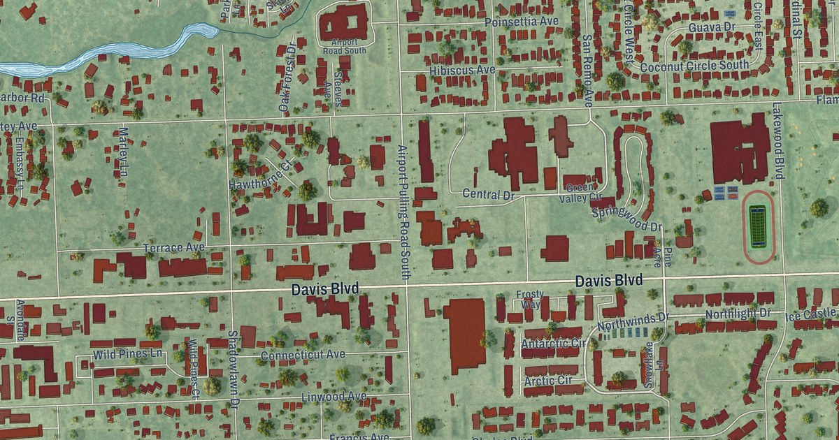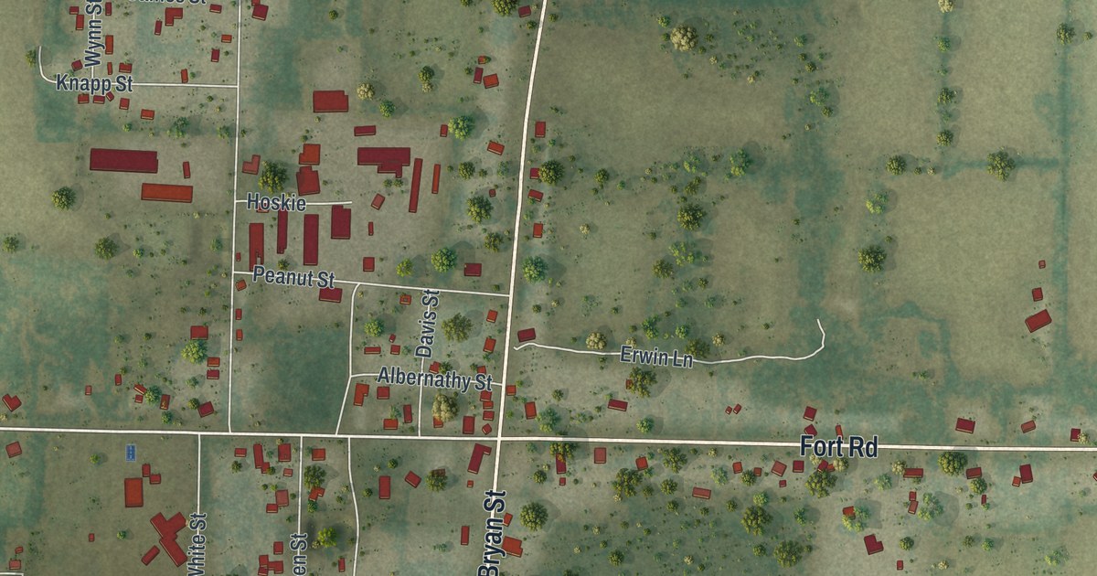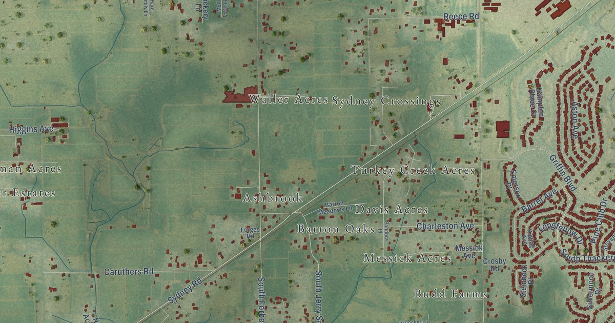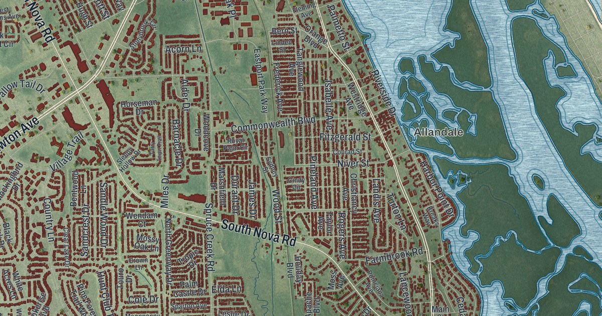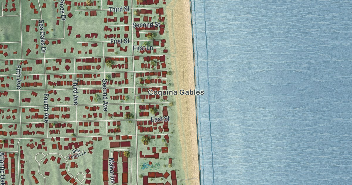
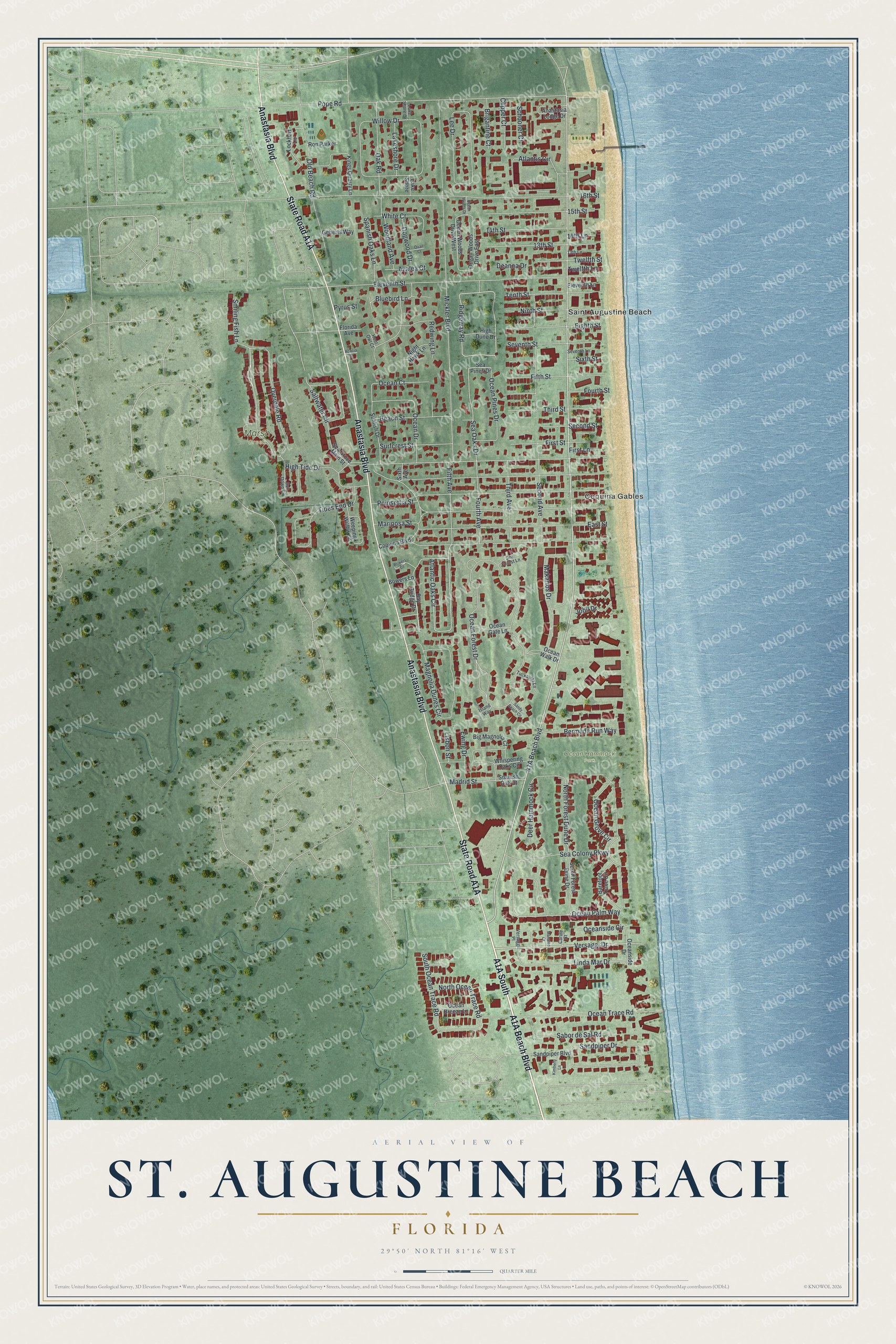
This beautifully detailed map of St. Augustine Beach, Florida was created in 2026 using aerial imagery combined with modern topographical, census, street and landmark data. It’s a one-of-a-kind view of St. Augustine Beach that combines accurate data with a vintage aesthetic. The map shows every building in its true location, many of the roads carry their names, and the shaded topographic relief shows the shape of the land.
Explore an aerial view of St. Augustine Beach, Florida
On the map you’ll find Coquina Gables, Marsh Creek, Ocean Hammock Park, and A1A South, along with A1A Beach Boulevard, State Road A1A, Anastasia Boulevard, Versaggi Drive, High Tide Drive, Atlantic Oaks Circle, Ridgeway Road, and more. If you look closely you can even find your house accurately drawn in its correct location. Zoom in on the preview to look for yours.
Take a closer look at the St. Augustine Beach map
Names on this map
These names are printed on this map.
Places: Coquina Gables, Marsh Creek, Ocean Hammock Park and Saint Augustine Beach.
Streets and roads: Anastasia Boulevard, Versaggi Drive, High Tide Drive, Atlantic Oaks Circle, Ridgeway Road, North Forest Dune Drive, Ocean Palm Way, Sea Oaks Drive, Ocean Forest Drive, Mickler Boulevard, Pope Road, 16th Street.
More street names, A to Z
13th Lane, 13th Street, 14th Lane, 14th Street, 15th Street, Acacia Street, Anastasia Lodge Drive, Atlantis Circle, Azalea Court, Barefoot Trace Circle, Bay Bridge Drive, Beach Street, Bermuda Run Way, Big Magnolia Court, Bluebird Lane, Bowers Court, Bowers Lane, Brigantine Court, Carole Court, Clipper Court, Coquina Boulevard, Deanna Drive, Deer Hammock Circle, Dogwood Drive, East Street, Eighth Street, Eleventh Lane, Eleventh Street, Ewing Drive, Fifth Avenue, Fifth Street, First Lane, First Street, Florida Avenue, Fourth Avenue, Fourth Street, Geberts Way, High Dune Drive, Hoot Owl Court, Island Way, Jobil Drive, Kimberly Lane, Kings Quarry Lane, Lake Shore, Lakeshore Drive, Lake Shore Drive, Lee Drive, Linda Mar Drive, Lisbon Street, Lockhart Lane, Madrid Street, Magnolia Dunes Circle, Makarios Drive, Manatee Court, Mariposa Street, Night Hawk Lane, Ninth Street, North Ocean Trace Road, Oak Road, Ocean Breeze Lane, Ocean Court, Ocean Drive, Ocean Gate Lane, Ocean Grove Circle, Ocean Pines Drive, Oceanside Circle, Oceanside Drive, Ocean Trace Road, Ocean Walk Drive, Ocean Woods Drive, Ocean Woods Drive East, Ocean Woods Drive West, Old Beach Road, Overdale Road, Poinsettia Street, Pyrus Street, Quail Court, Redwing Lane, Ron Parker, Sabor de Sal Road, Saltwater Circle, Sandpiper Boulevard, Sandpiper Drive, Sandy Beach Circle, Schooner Court, Sea Colony Parkway, Sea Forest Lane, Sea Grove Main Street, Sea Pines Drive, Second Avenue, Second Street, Seventh Lane, Seventh Street, Sixth Avenue, Sixth Street, Smiling Fish Lane, South Forest Dune Drive, South Ocean Trace Road, Spanish Oak Court, Spanish Oaks Lane, Sun Down Circle, Sunfish Drive, Surfcrest Street, Tenth Street, Third Avenue, Third Street, Tides End Drive, Tuckaway Lane, Twelfth Lane, Twelfth Street, Versaggi Place, Weeping Willow Lane, Whispering Oaks Circle, White Court, Willow Drive, Woodland Avenue.
See it on a wall
The St. Augustine Beach map as a framed print. Swipe for more.


This beautifully detailed map of St. Augustine Beach makes an attractive addition to your office, library, or den, and it can even be used to teach children the geography and history of the area. It also makes a great gift for someone who left St. Augustine Beach and still calls it home. When you’re done exploring, click here to get your copy of the St. Augustine Beach map.