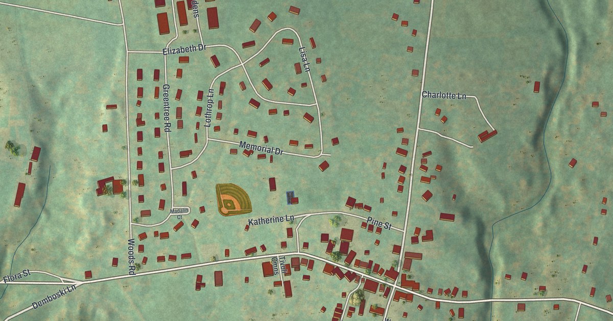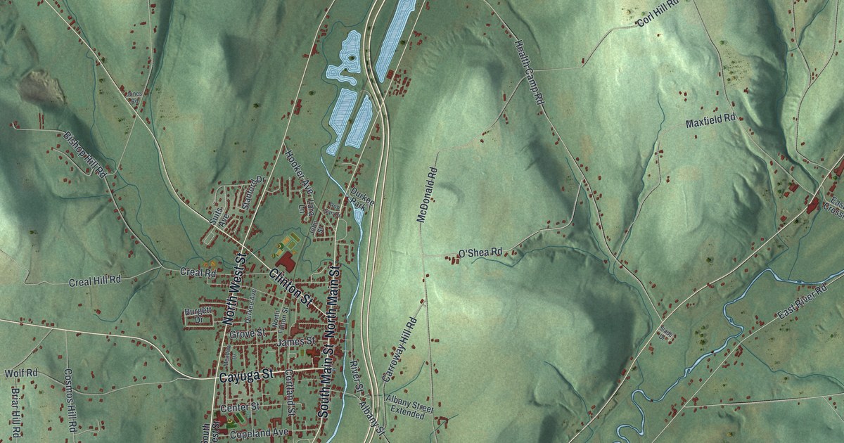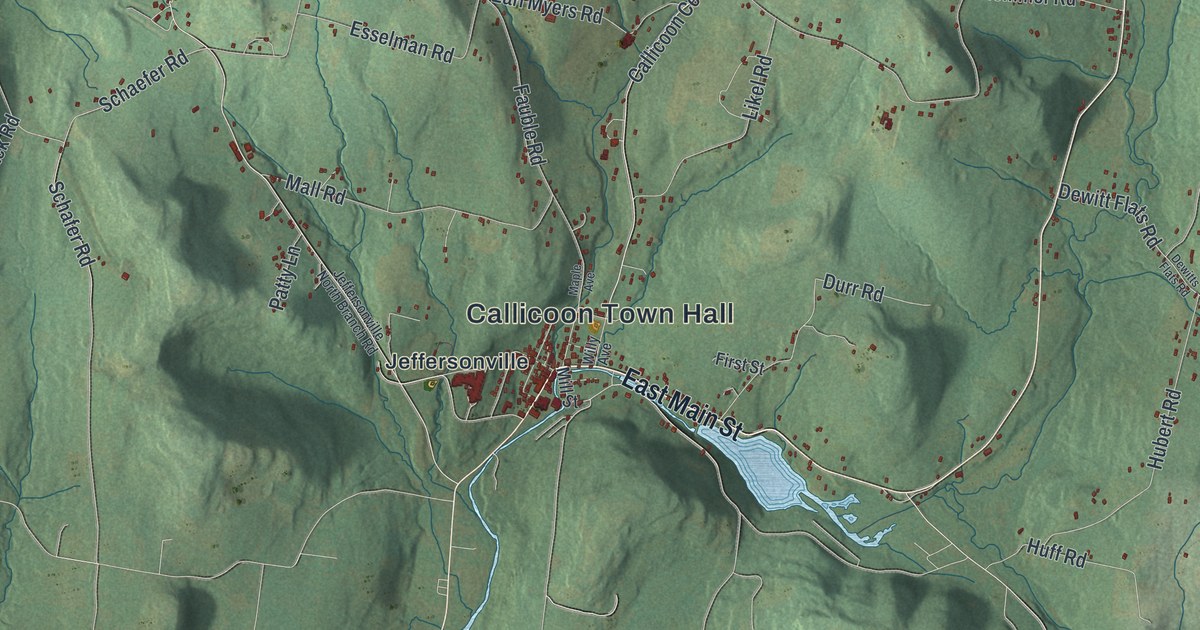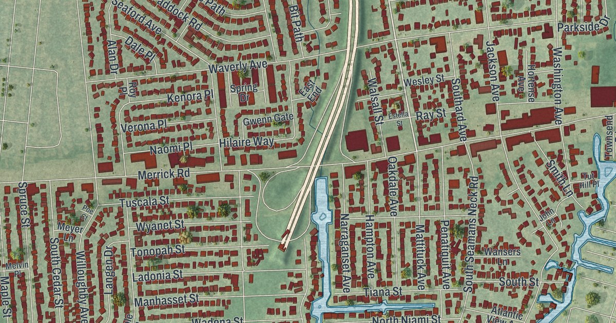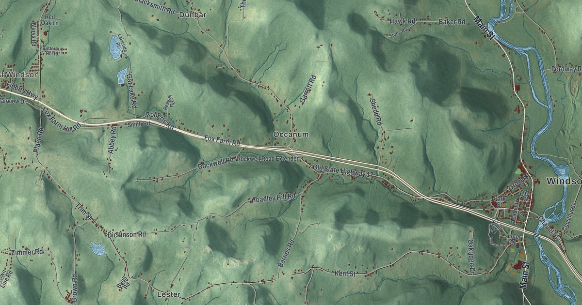
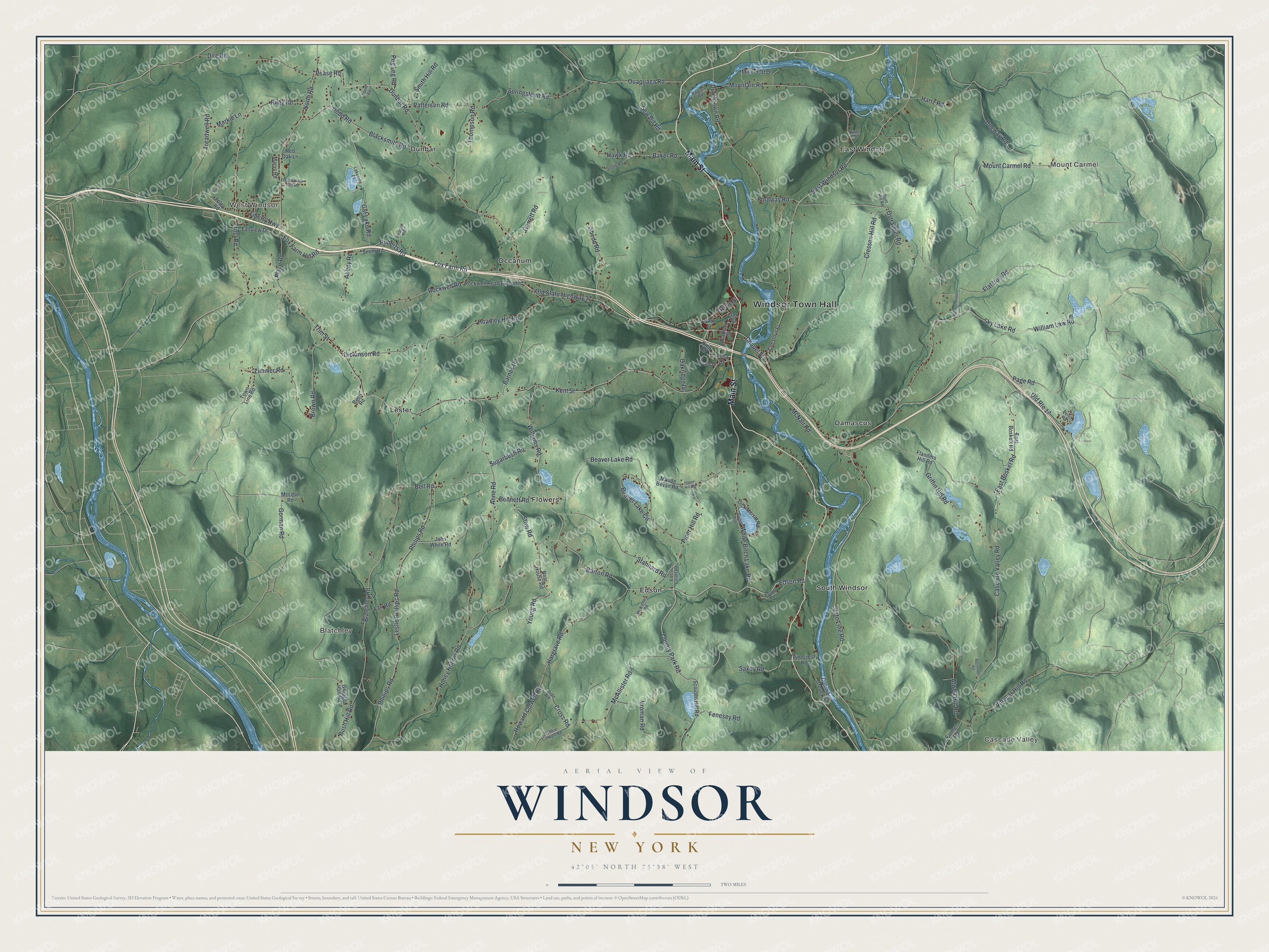
This beautifully detailed map of Windsor, New York was created in 2026 using aerial imagery combined with modern topographical, census, street and landmark data. It’s a one-of-a-kind view of Windsor that combines accurate data with a vintage aesthetic. The map shows every building in its true location, many of the roads carry their names, and the shaded topographic relief shows the shape of the land.
Explore an aerial view of Windsor, New York
On the map you’ll find Windsor Town Hall, Cascade Valley, West Windsor, Mount Carmel, Blatchley, and Damascus, along with Main Street, Piper Hill Road, Edson Road, Williams Road, and more. If you look closely you can even find your house accurately drawn in its correct location. Zoom in on the preview to look for yours.
Did You Know?
Before Windsor, the fortified Tuscarora village of Onaquaga stood here on the Susquehanna. Joseph Brant based his Volunteers there during the Revolution. The Continental Army destroyed the village in October 1778. New England settlers arrived in 1785 and formed the town of Windsor in 1807.
Take a closer look at the Windsor map
Names on this map
These names are printed on this map.
Places: Windsor Town Hall, Cascade Valley, West Windsor, Mount Carmel, Blatchley, Damascus, Dunbar, East Windsor, Edson, Flowers, Lester, Occanum and South Windsor.
Streets and roads: Main Street, Piper Hill Road, Edson Road, Williams Road, Saxby Road, Barton Road, County Park Road, Dunbar Road, Pease Road, Old State Highway 17, Patterson Road, Chapel Street.
More street names, A to Z
Abbey Road, Academy Street, Adele Road, Alexander Road, Anne Road, Atwell Hill Road, Baker Road, Bapton Road, Barnes Road, Bear House Road, Beaver Lake Circle, Beaver Lake Road, Bell Road, Bennett Road, Blacksmith Road, Blatchley Road, Brown Road, Buell Road, Bunt Hill Road, Bush Hill Road, Buttercup Hill Road, Cascade Valley Road, Chestnut Street, Columbia Grove Road, Cresson Hill Road, Critter Way, Cross Road, Dickinson Road, Dick Merritt Road, Dire Road, Dodd Road, Dugway Road, Dutchtown Road, East Bosket Road, East Boskett Road, East Windsor Road, Edson Cutoff Road, Elm Street, Fairview Drive, Farmer Road, Farr Road, Fenesey Road, Flanders Hill Road, Flat Iron Road, Foley Road, Fordway Road, Fox Farm Hill Road, Fox Farm Road, Frost Road, Gaf Lake Road, Garrett Road, Gorman Road, Grange Hall Road, Griffin Hill Road, Grove Street, Hargrave Road, Harold Street, Hartz Road, Hawk Road, Hoadley Hill Road, Honey Hollow Road, Hopet Hill Road, Howard Colwell Road, John White Road, Judd Road, Kent Street, King Road, Lakeside Place, Leslie Phillips Road, Liberty Highway, Lona Drive, Markie Lane, Marys Road, Maude Bevan Road, McAllister Road, McKinney Road, McLean Road, McNair Road, Miller Flat Drive, Mountain Road, Mount Carmel Road, North Road, Oakridge Drive, Old Route 17, Ostrander Road, Ouaquaga Road, Page Road, Park Street, Peg Leg Road, Perch Road, Philips Road, Phillips Road, Pinecrest Road, Place Road, Randall Road, Reagan Road, Red Oak Lane, Riley Road, River Road, Robbie Colwell Road, Roberts Road, Rockwell Road, Rockwell Road Extended, Schoolhouse Road, Scouten Hill Road, Seward Road, Shedd Road, Sky Lake Road, Smith Hill Road, Smith Road, Springsteen Road, Stannard Road, State Line Road, Stone Road, Stow Road, Sugarbush Road, Terrace Drive, Thompson Road, Town Line Road, Treadwell Road, Trim Street, Vinegar Hill Road, Vroman Road, White Birch Lake Road, William Law Road, Young Road, Zimmer Road.
See it on a wall
The Windsor map as a framed print. Swipe for more.


This beautifully detailed map of Windsor makes an attractive addition to your office, library, or den, and it can even be used to teach children the geography and history of the area. It also makes a great gift for anyone who grew up in Windsor or moved away. When you’re done exploring, click here to get your copy of the Windsor map.