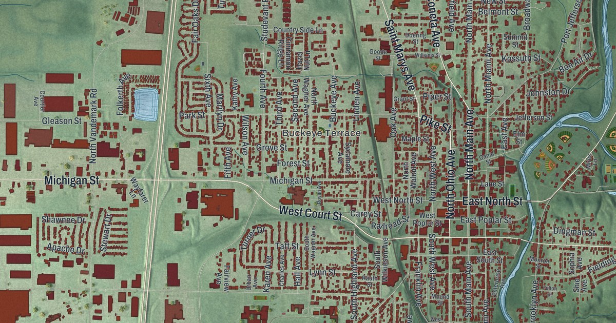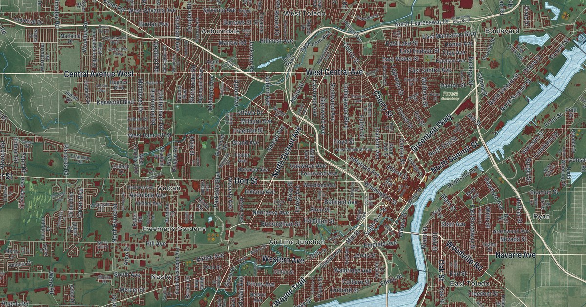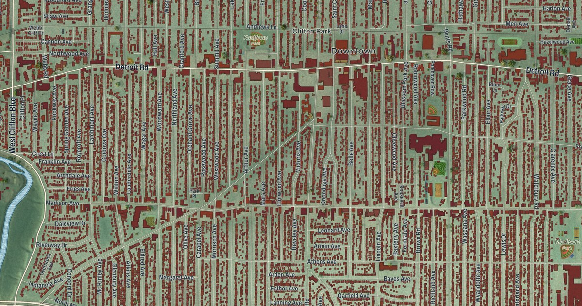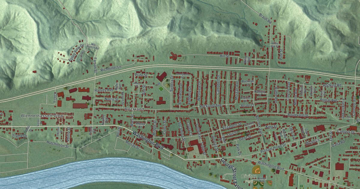
If you grew up in Belpre, or you still have family off Washington Boulevard or up Farson Street, this map gives you a lot to find. It's a modern aerial view of Belpre in Washington County, Ohio, made from modern data and given a vintage look. Shaded green hills fill the top of the sheet. A wide blue river wraps around the east and south sides of town. In between, about 4,300 buildings are drawn in deep red, with Rockland, Blennerhassett View and Civitan Park named among them.
Civitan Park, Washington Boulevard and Farson Street
On this map you'll find Washington Boulevard, Main Street, Civitan Park, Blennerhassett Avenue, Farson Street, Rockland, Blennerhassett View, Frame Drive, Thomas Street, Mill Branch Road, Braun Road, Pomeroy Pike, Campus Drive, School Drive, and more. Each red shape is a building, so zoom in on the preview and look for yours.
Bathsheba Rouse and Devol's floating mill
Belpre's first settlers came from New England by flatboat in 1789. They called the place Belle-Prairie, which means beautiful prairie. Local farmers built Farmers' Castle, a fort of thirteen blockhouses near the river. In 1789 the settlers hired Bathsheba Rouse to teach their young children inside it. Girls learned reading, writing and sewing. Boys learned reading, writing and arithmetic. Ohio's state marker calls her the first woman to teach in the Northwest Territory.
Grinding grain by hand was slow, hard work. So in 1791, Captain Jonathan Devol built a mill that floated, on an idea from Griffin Greene. He set it on two boats joined with oak planks. A small building on the deck held the millstones. The river's current turned the wheel. Depending on the current, it ground 25 to 50 bushels of grain a day. Settlers for nearly thirty miles along the river got their meal from it. The Ohio History Connection marker for the mill stands at 1555 Blennerhassett Avenue. Find Civitan Park on the map, then look toward the nearby Ohio River shore. The marker says the mill was anchored within several yards of the shore near the marker.
From Blennerhassett View to Main Street
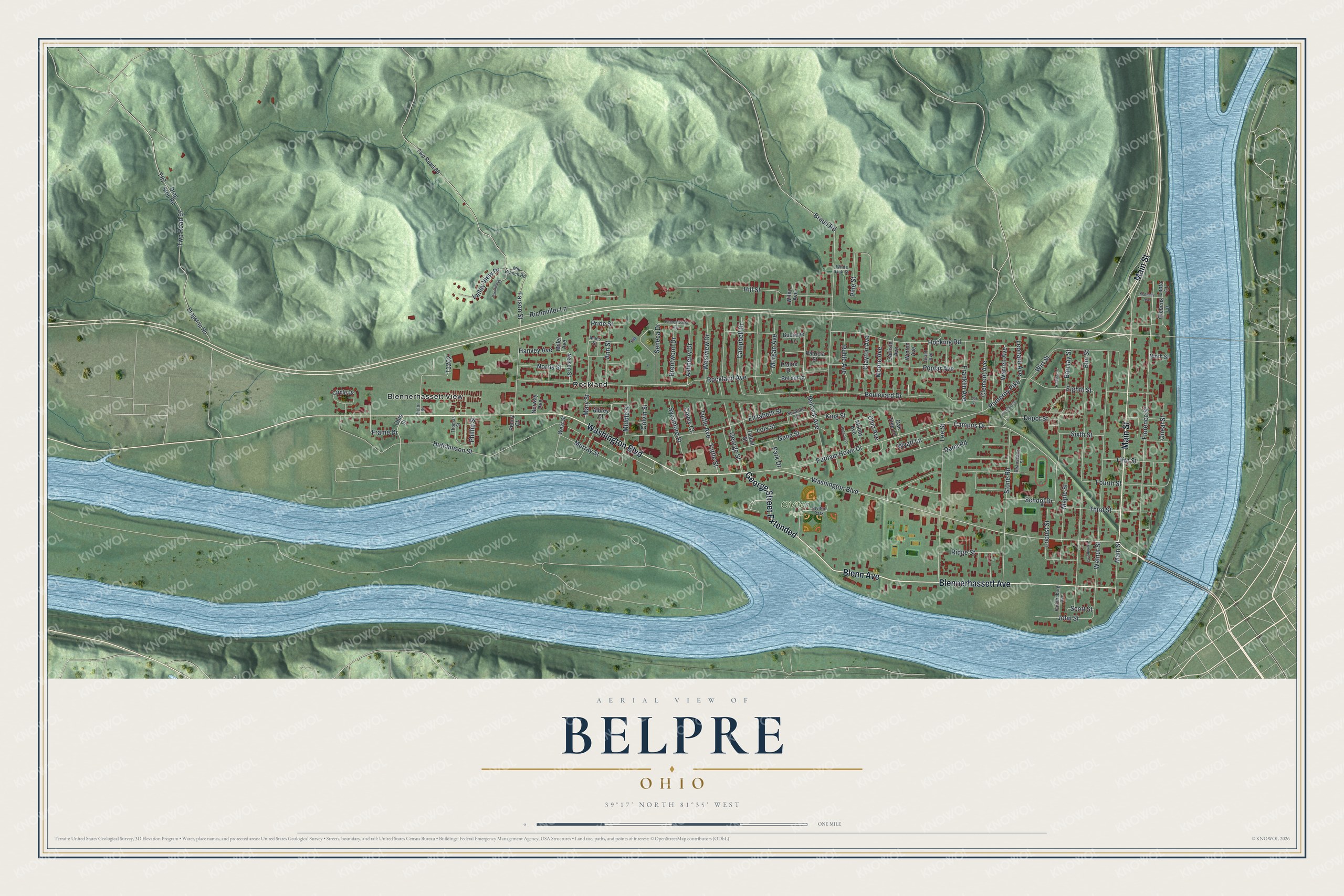
Created by KNOWOL in 2026, this Belpre map shows the town from Blennerhassett View to Main Street, with the hills above and the river below. The hill shading comes from USGS elevation data. The title panel reads "Aerial View of Belpre, Ohio" with the coordinates 39°17' North, 81°35' West and a one-mile scale bar.
It fits a kitchen, a den or a front hall where people stop and point out their street. It's a thoughtful gift for someone who grew up near Civitan Park and moved away, or for family who still live off Washington Boulevard. Open the preview, zoom in and find the blocks you know. See sizes and frames for the Belpre map.