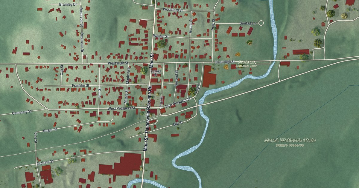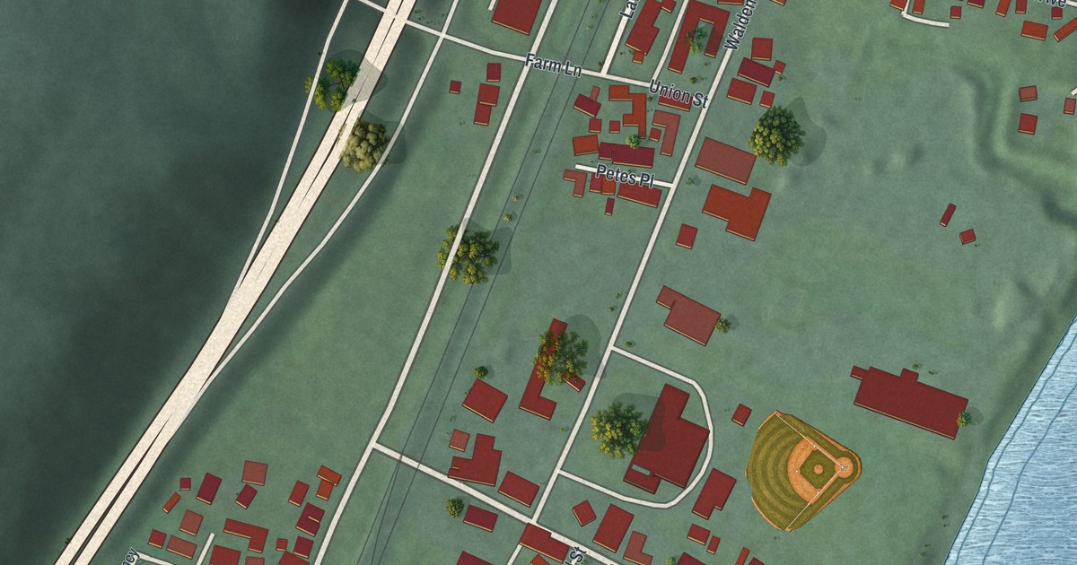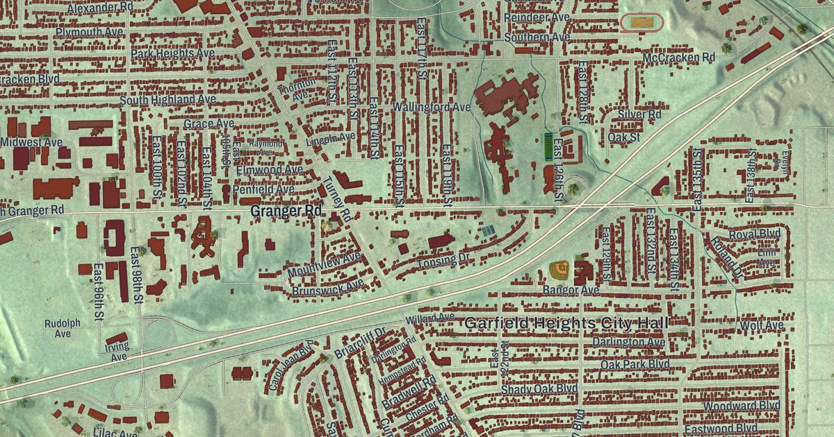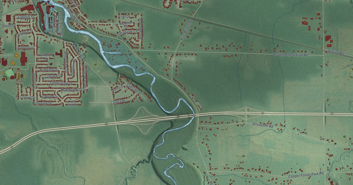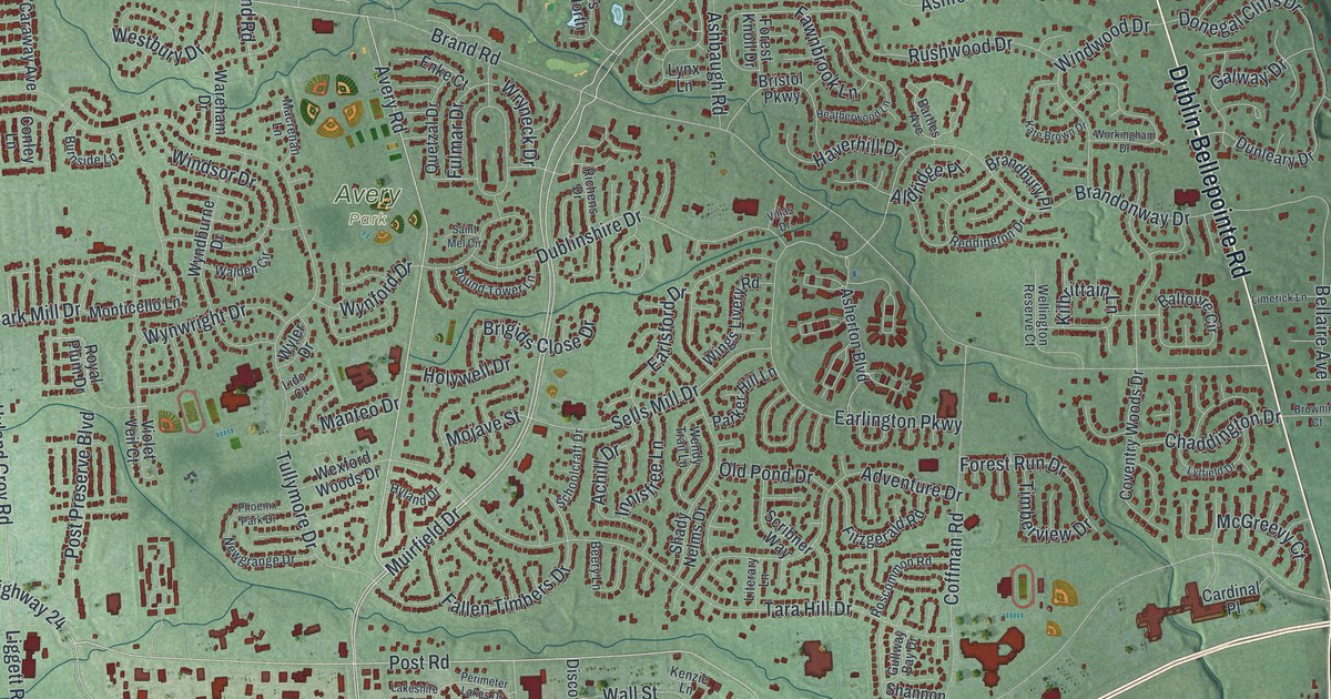
If you grew up in Dublin, or you still have family on a street off Avery Road or Frantz Road, this map was made with you in mind. It's a new aerial view of Dublin in Franklin County, Ohio, built from modern data and given a soft vintage look. A wide blue river runs down the right side of the sheet. Green hills fill the edges, and the town's homes and shops show up as small red shapes. You can pick out the parks, the curving neighborhood streets, and the old center where West Bridge Street crosses the river.
Dublin City Hall, Coffman Park and your street
On this map you'll find West Bridge Street, North High Street, South Riverview Street, Riverside Drive, Dublin Road, Avery Road, Muirfield Drive, Emerald Parkway, Sawmill Road, Sells Mill Drive, Shier Rings Road, Dublin City Hall, Coffman Park, Scioto Park, Darree Fields, and more. Each red shape is a building, so zoom in on the preview and look for yours.
The Sells family and the first settlement at Dublin
Dublin's first settlers were one family. The History of Franklin and Pickaway Counties, printed in 1880, says the first settlement in Washington Township was made at Dublin in 1801 or 1802. It was made by Ludwick Sells and his sons, Samuel, Peter, William and Benjamin. The same book says the earliest settlements in the area were along the Scioto River. The very first one was at Dublin. The Sells name still shows up today. On South Riverview Street, the Eliud Sells House is listed on the National Register.
The Rings farm on Shier Rings Road
Farm families came next. German immigrant Louis Rings and his wife, Magdalena Wolpert, built a farmhouse in the early 1860s. A state marker says they bought more land and raised their family there. Magdalena's family helped start the St. John Lutheran Church in Dublin. Their house and barns were listed on the National Register in 1979. You can find the farm on this map along Shier Rings Road, with businesses and homes grown up all around it.
A Dublin map from West Bridge Street to Darree Fields
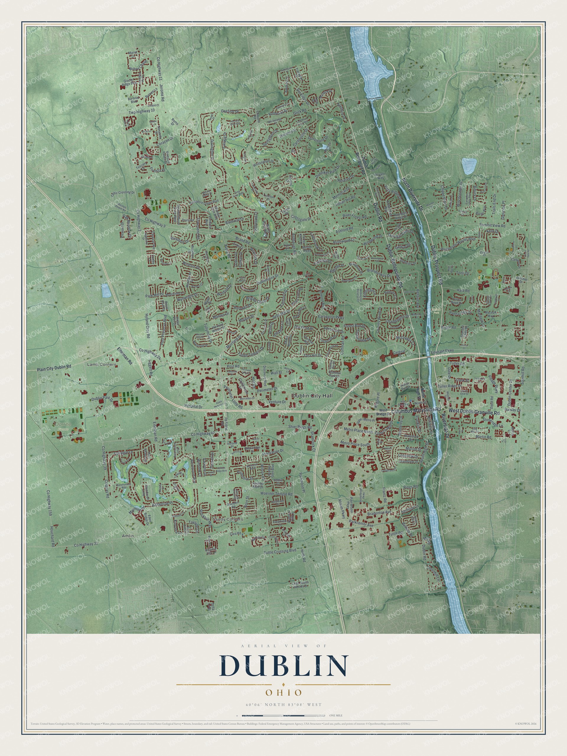
Created by KNOWOL in 2026, this print shows Dublin from above in soft greens, with the river in blue and every building in deep red. The title panel at the bottom reads "Aerial View of Dublin, Ohio" with the coordinates 40°06' North 83°08' West.
It fits well in a living room, a home office or a hallway where people stop and look. It's a good gift for someone who grew up near Coffman Park, or for a friend who moved away and still talks about North High Street. Open the preview and zoom in to find your own block. See sizes and frames for the Dublin map.