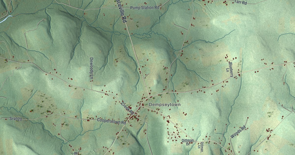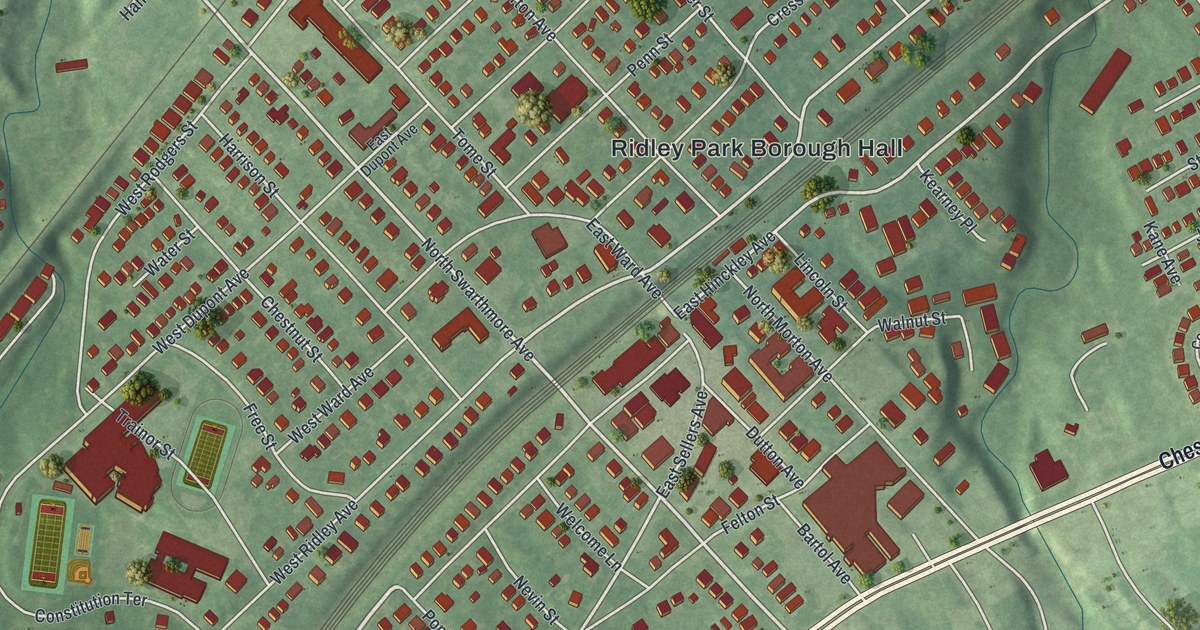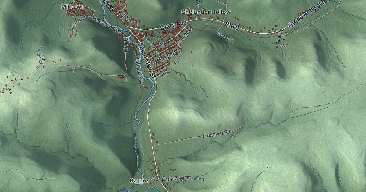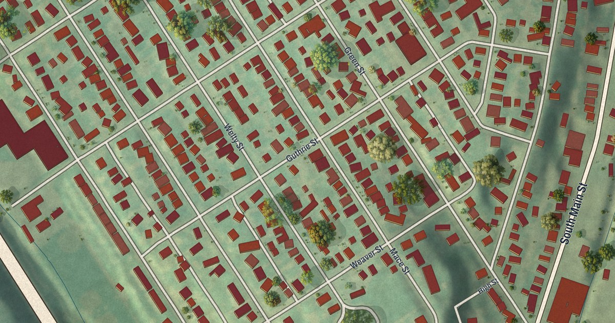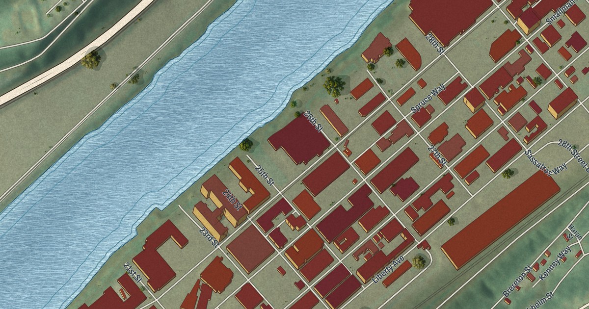
If you've lived, worked or walked along Smallman Street and Penn Avenue, this map was made with you in mind. It's a new aerial view of the Strip District in Pittsburgh, Allegheny County, Pennsylvania, built from modern data and given a vintage look. A wide blue river runs along one side. A long band of red buildings fills the flat ground between the water and the hill. Bigelow Boulevard climbs the green slope above, and Polish Hill sits up on the high ground.
Charles Martin Hall's Aluminum at 32nd and Smallman
On this map you'll find Penn Avenue, Smallman Street, Liberty Avenue, Bigelow Boulevard, Railroad Street, the 16th Street Bridge, the 28th Street Bridge, Waterfront Place, Polish Hill, Brereton Street, Sassafras Way, 21st Street, 31st Street, and more. Each red shape is a building, so zoom in on the preview and look for yours.
A state historical marker stands at the corner of 32nd Street and Smallman Street. It tells the story of Charles Martin Hall. He found a way to make aluminum using electricity. In 1888, the Pittsburgh Reduction Company first used his method to make aluminum for sale. That company later became Alcoa. The marker says the process was worked out right here. It says this process made the commercial use of aluminum possible. Find 32nd Street, between 31st Street and 33rd Street.
St. Stanislaus Kostka Church and Smallman Street
Smallman Street holds more of the district's past. St. Stanislaus Kostka Roman Catholic Church stands at 21st and Smallman. It was put on the National Register in 1972. Springfield Public School, at Smallman and 31st, was added in 1986. The Armstrong Cork Company building at 23rd and Railroad streets joined the list in 2005. Up at 33rd and Smallman, a state marker remembers the Pittsburgh Grease Plant. It started there in 1885 and ran until 1999. In World War II, it sent out 5,000,000 pounds of grease for the war effort.
The 1877 Railroad Strike at Liberty Avenue and 28th Street
Liberty Avenue carries a harder story. In July 1877, Pennsylvania Railroad workers went on strike. They were fighting cuts to their pay and their jobs. A state marker for the spot at Liberty Avenue and 28th Street tells what happened next. On July 21, militia shot and killed some 26 people there. A battle followed, and rail property was burned. U.S. troops finally broke the strike.
Keep Penn Avenue and Smallman Street Close
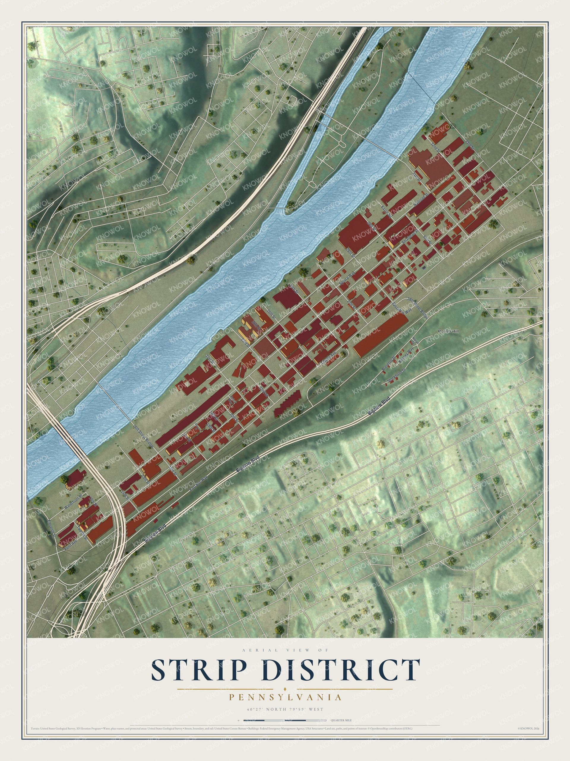
Created by KNOWOL in 2026, the print shows the Strip District from above, with red buildings, a blue river and soft green hills. The title panel reads "Aerial View of Strip District, Pennsylvania" with the coordinates 40°27' North 79°59' West.
It suits a kitchen, a hallway or an office. It's a good gift for anyone who knows St. Stanislaus Kostka Church or once worked on Smallman Street and has since moved away. Open the preview and find the corner you know best. See sizes and frames for the Strip District map.