Detailed Map of Leadville North, Colorado
A detailed map of Leadville North, Colorado, showing every building in its true location, the roads by name, and shaded topographical relief.
Read More
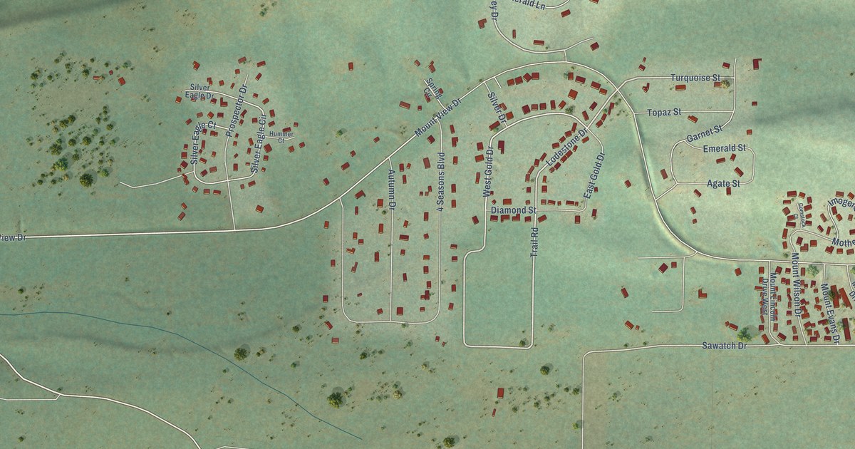
A detailed map of Leadville North, Colorado, showing every building in its true location, the roads by name, and shaded topographical relief.
Read More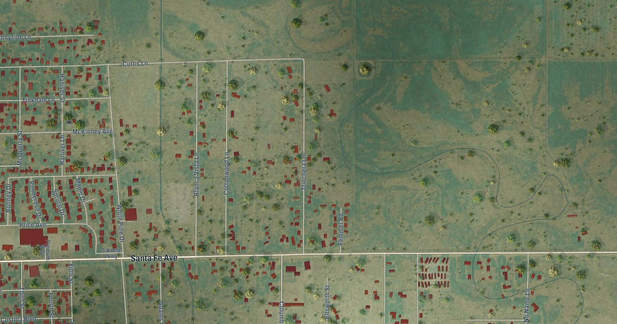
A detailed map of Alamosa East, Colorado, showing every building in its true location, the roads by name, and shaded topographical relief.
Read More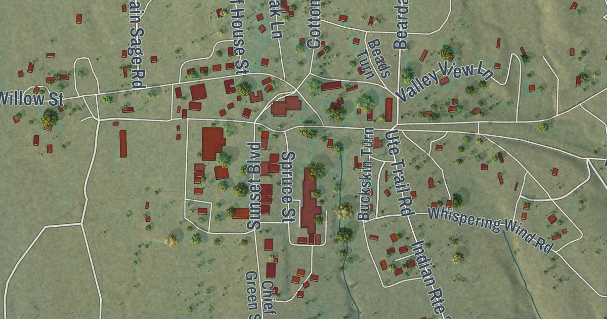
A detailed map of Towaoc, Colorado, showing every building in its true location, the roads by name, and shaded topographical relief.
Read More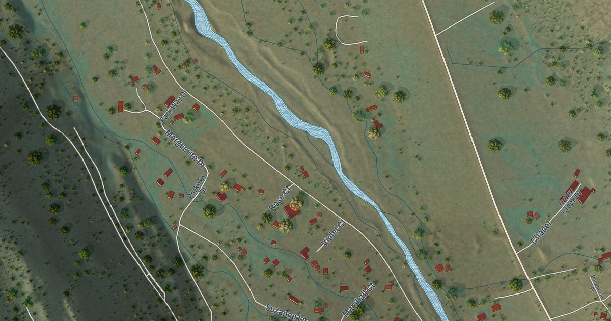
A detailed map of Portland, Colorado, showing every building in its true location, the roads by name, and shaded topographical relief.
Read More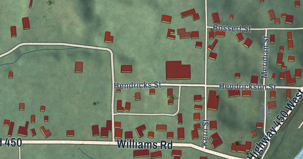
A detailed map of Williams, Indiana, showing every building in its true location, the roads by name, and shaded topographical relief.
Read More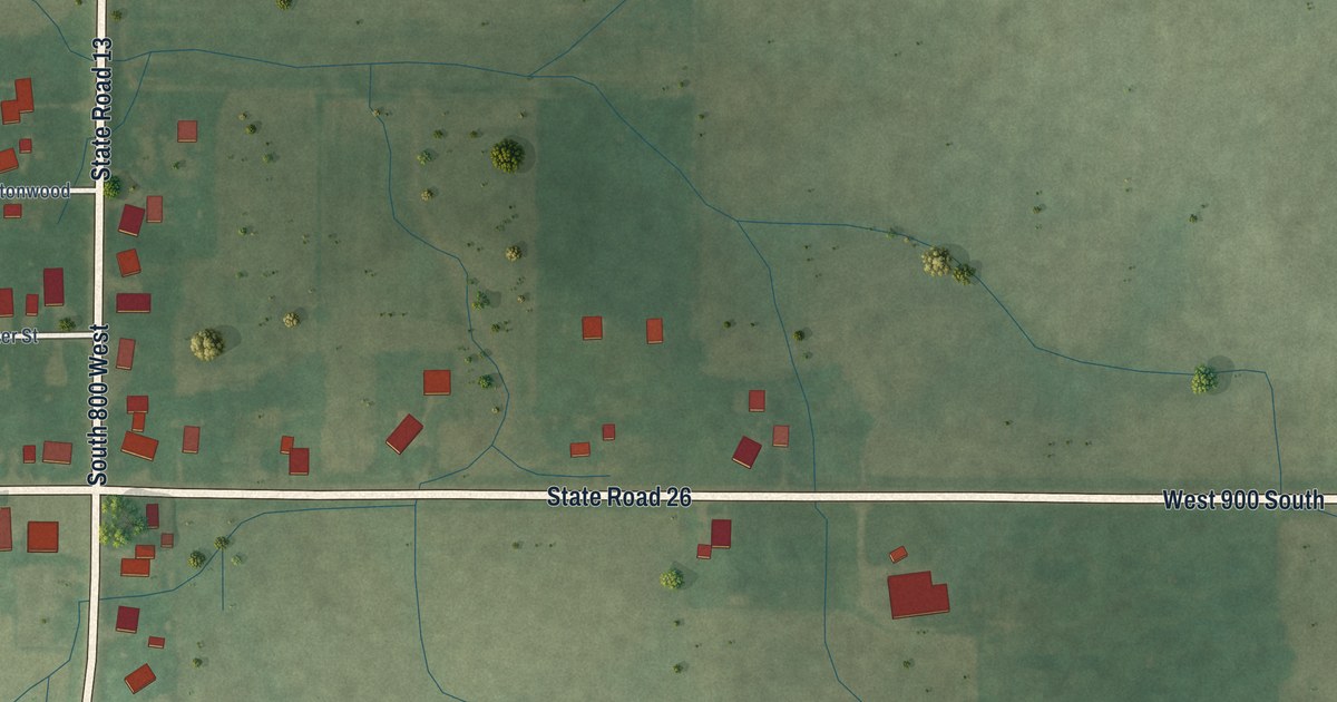
A detailed map of Point Isabel, Indiana, showing every building in its true location, the roads by name, and shaded topographical relief.
Read More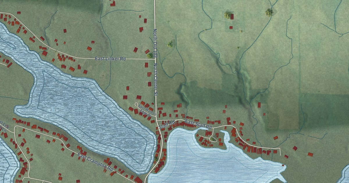
A detailed map of Tri-Lakes, Indiana, showing every building in its true location, the roads by name, and shaded topographical relief.
Read More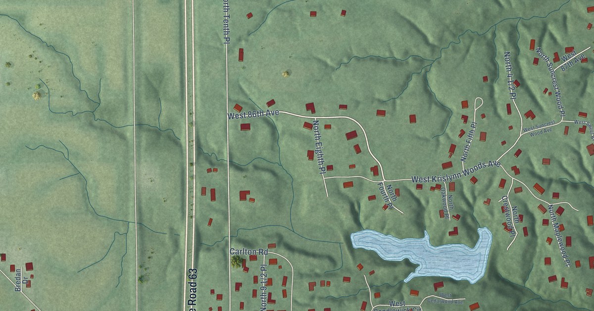
A detailed map of Tecumseh, Indiana, showing every building in its true location, the roads by name, and shaded topographical relief.
Read More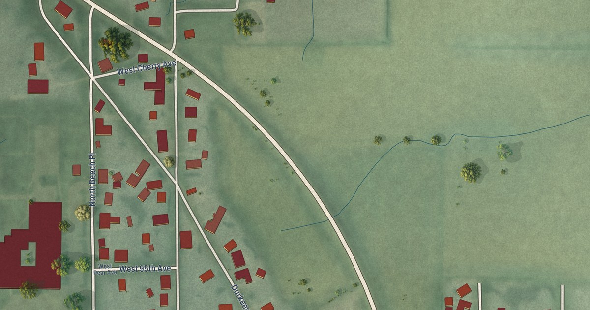
A detailed map of New Goshen, Indiana, showing every building in its true location, the roads by name, and shaded topographical relief.
Read More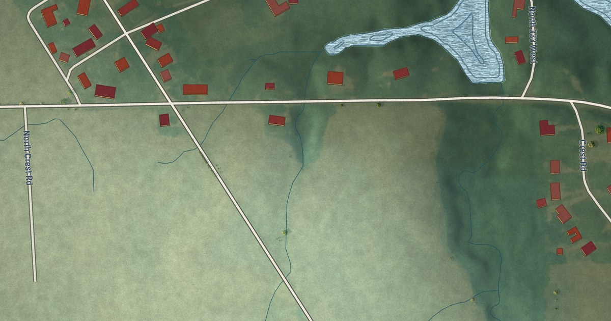
A detailed map of Jalapa, Indiana, showing every building in its true location, the roads by name, and shaded topographical relief.
Read More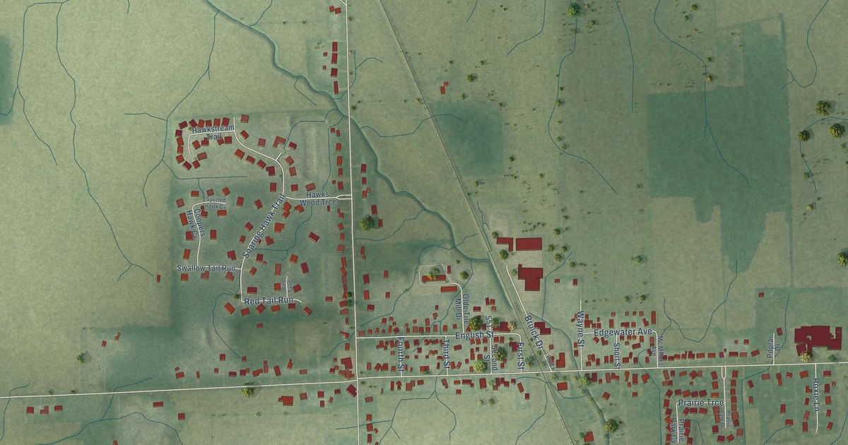
A detailed map of Hoagland, Indiana, showing every building in its true location, the roads by name, and shaded topographical relief.
Read More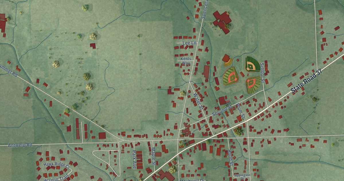
A detailed map of Harlan, Indiana, showing every building in its true location, the roads by name, and shaded topographical relief.
Read More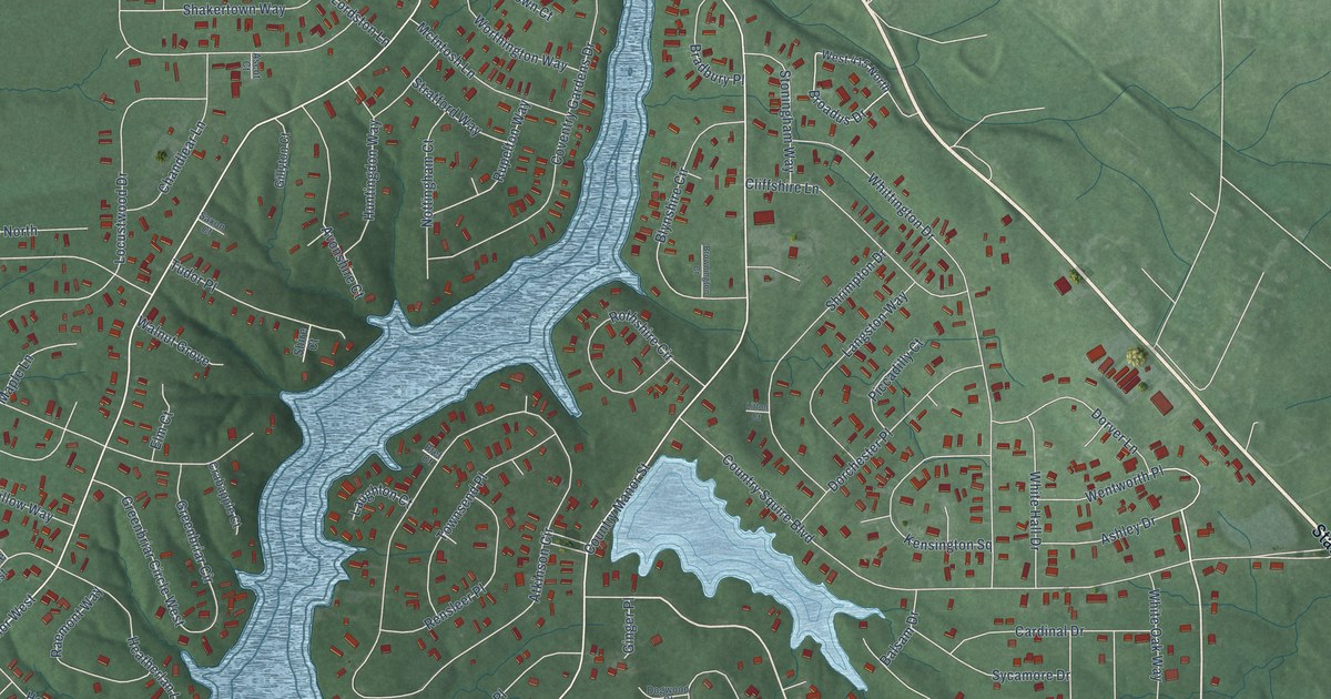
A detailed map of Country Squire Lakes, Indiana, showing every building in its true location, the roads by name, and shaded topographical relief.
Read More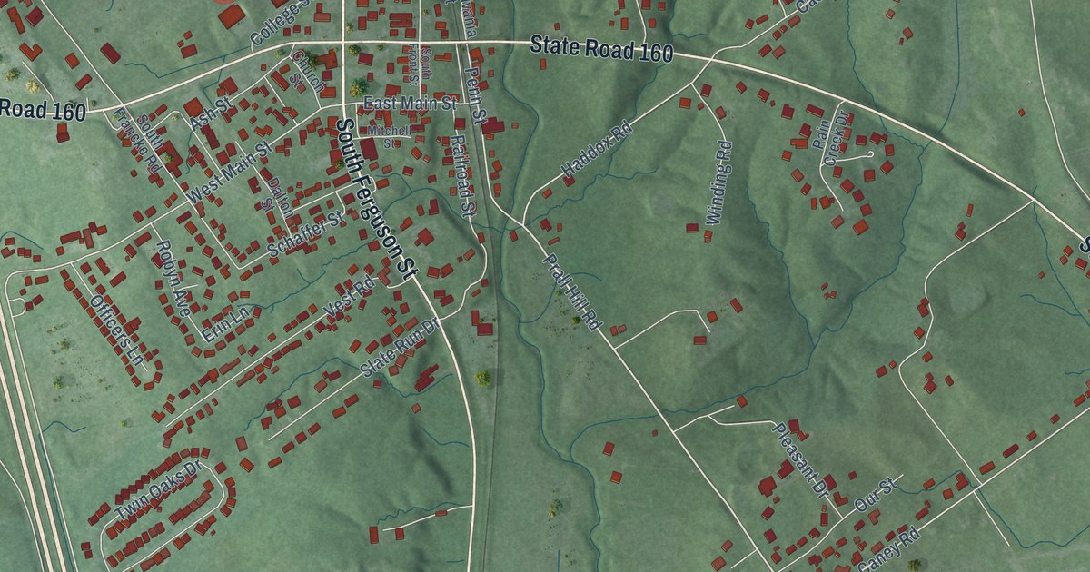
A detailed map of Henryville, Indiana, showing every building in its true location, the roads by name, and shaded topographical relief.
Read More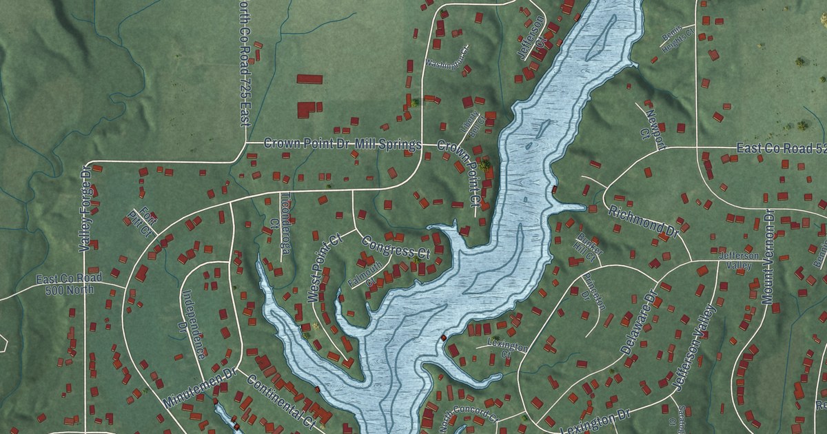
A detailed map of Heritage Lake, Indiana, showing every building in its true location, the roads by name, and shaded topographical relief.
Read More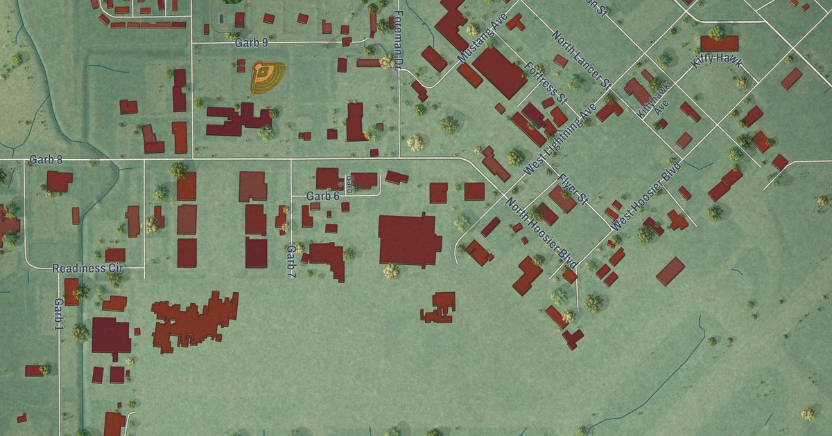
A detailed map of Grissom AFB, Indiana, showing every building in its true location, the roads by name, and shaded topographical relief.
Read More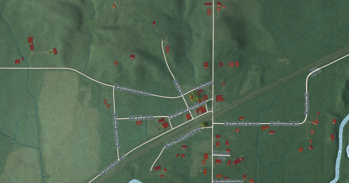
A detailed map of Fontanet, Indiana, showing every building in its true location, the roads by name, and shaded topographical relief.
Read More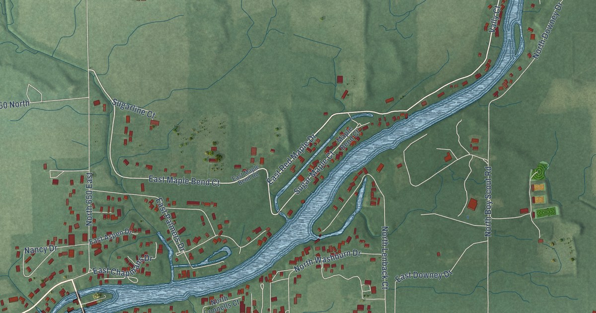
A detailed map of Buffalo, Indiana, showing every building in its true location, the roads by name, and shaded topographical relief.
Read More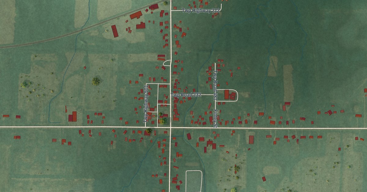
A detailed map of Sullivan, Ohio, showing every building in its true location, the roads by name, and shaded topographical relief.
Read More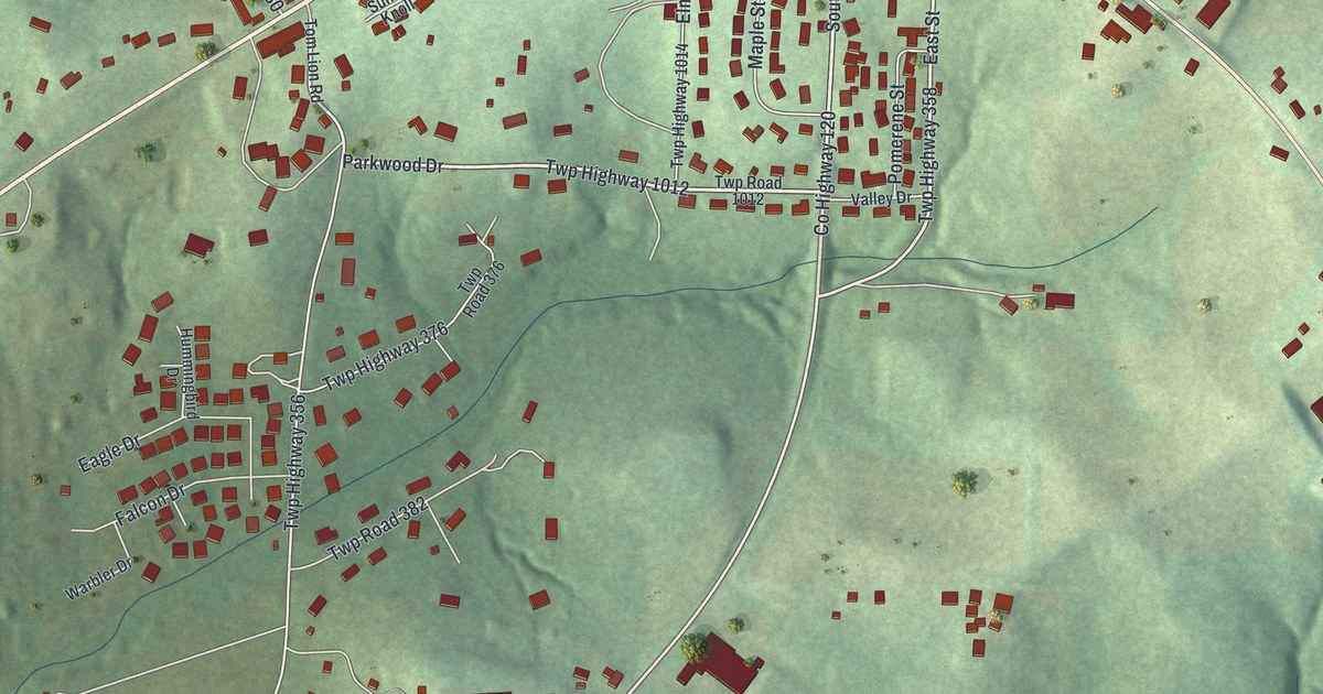
A detailed map of Berlin, Ohio, showing every building in its true location, the roads by name, and shaded topographical relief.
Read More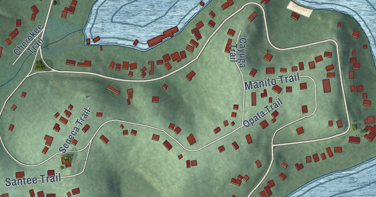
A detailed map of Lake Mohawk, Ohio, showing every building in its true location, the roads by name, and shaded topographical relief.
Read More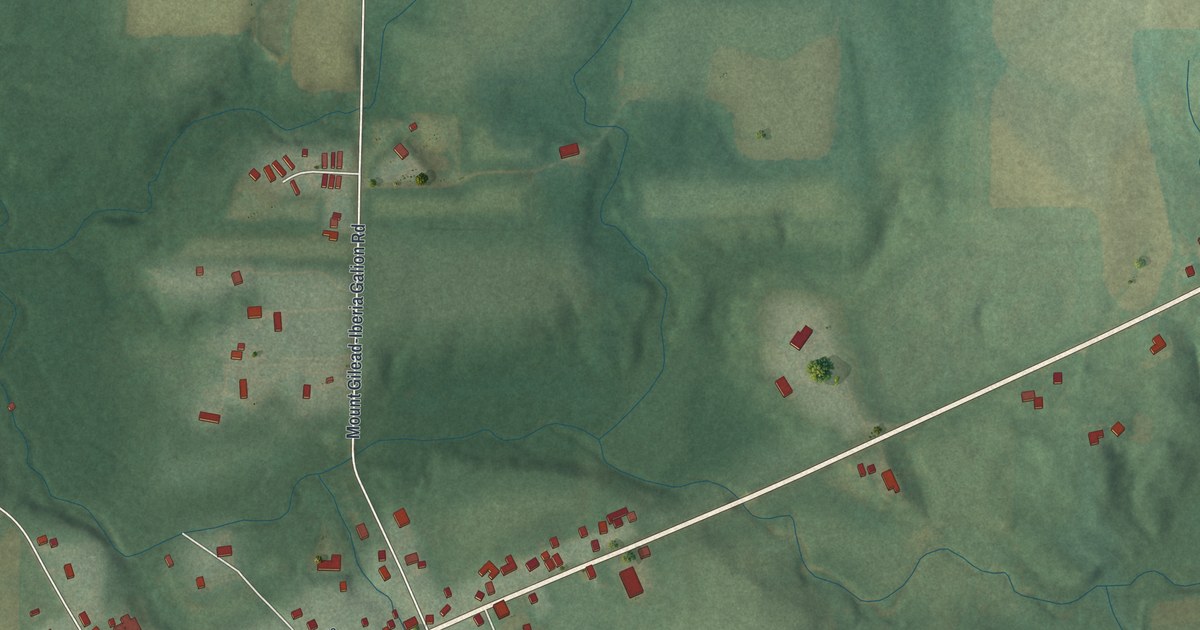
A detailed map of Iberia, Ohio, showing every building in its true location, the roads by name, and shaded topographical relief.
Read More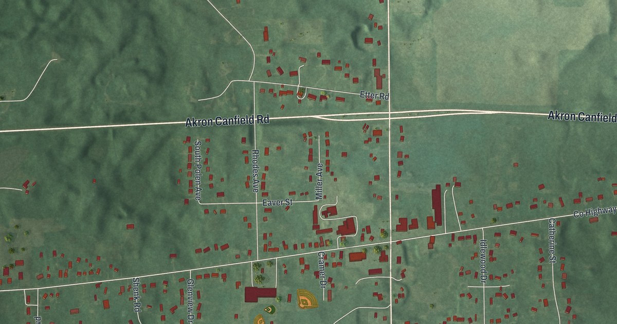
A detailed map of Suffield, Ohio, showing every building in its true location, the roads by name, and shaded topographical relief.
Read More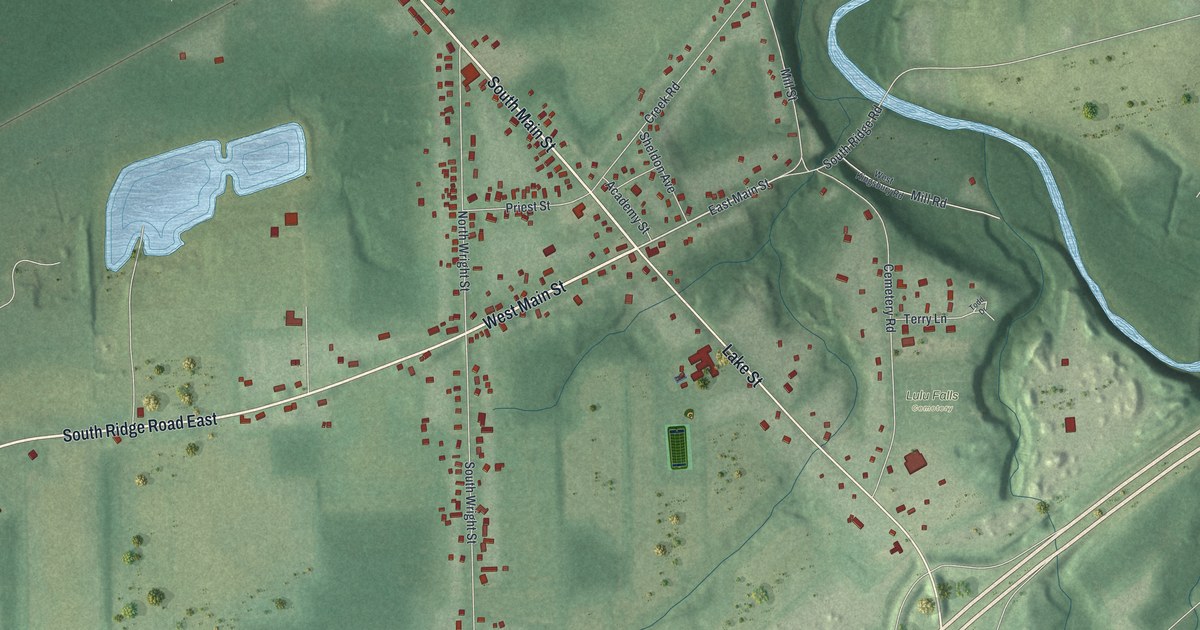
A detailed map of Kingsville, Ohio, showing every building in its true location, the roads by name, and shaded topographical relief.
Read More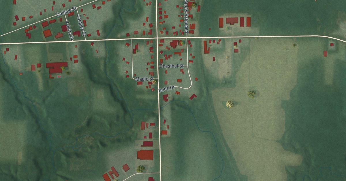
A detailed map of Austinburg, Ohio, showing every building in its true location, the roads by name, and shaded topographical relief.
Read More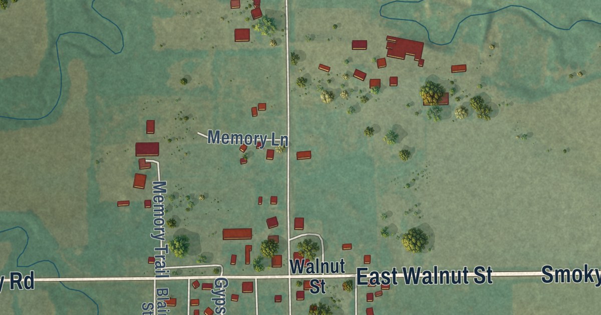
A detailed map of Roxbury, Kansas, showing every building in its true location, the roads by name, and shaded topographical relief.
Read More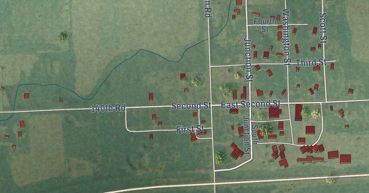
A detailed map of Piqua, Kansas, showing every building in its true location, the roads by name, and shaded topographical relief.
Read More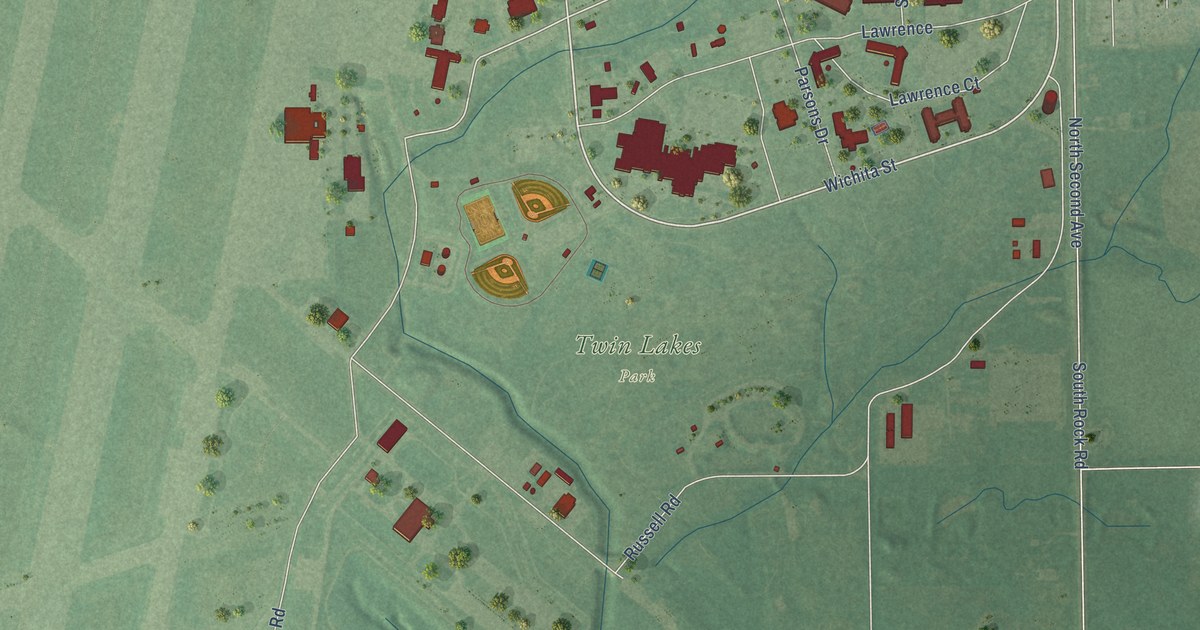
A detailed map of McConnell AFB, Kansas, showing every building in its true location, the roads by name, and shaded topographical relief.
Read More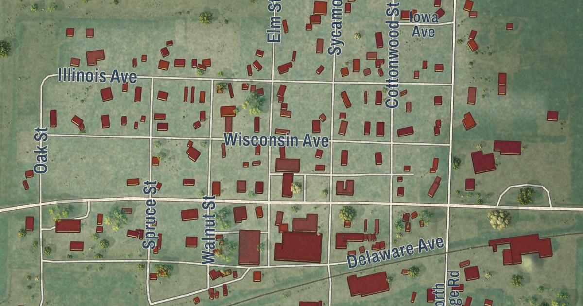
A detailed map of Healy, Kansas, showing every building in its true location, the roads by name, and shaded topographical relief.
Read More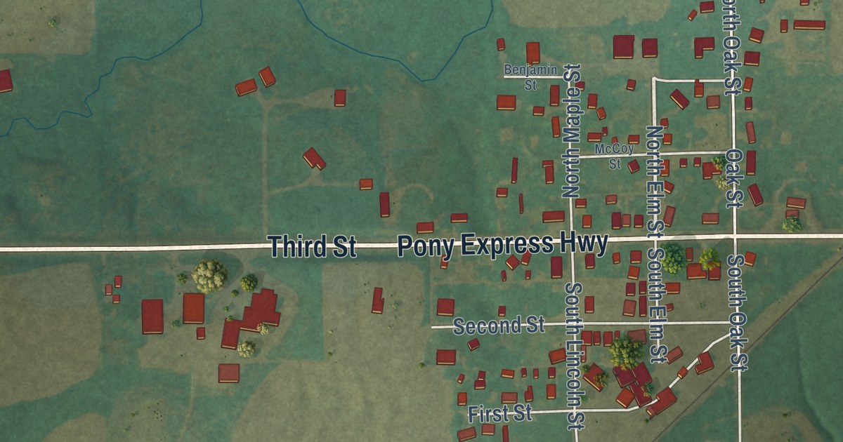
A detailed map of Home, Kansas, showing every building in its true location, the roads by name, and shaded topographical relief.
Read More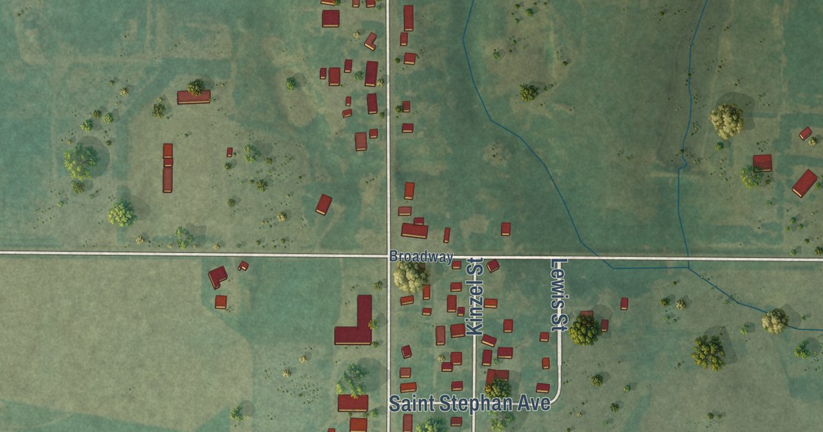
A detailed map of Odin, Kansas, showing every building in its true location, the roads by name, and shaded topographical relief.
Read More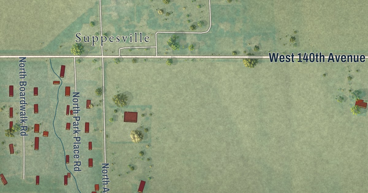
A detailed map of Milton, Kansas, showing every building in its true location, the roads by name, and shaded topographical relief.
Read More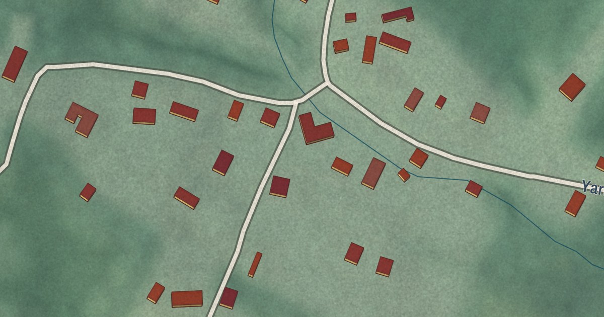
A detailed map of Yarrowsburg, Maryland, showing every building in its true location, the roads by name, and shaded topographical relief.
Read More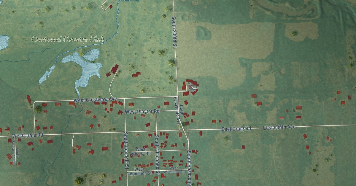
A detailed map of Chicopee, Kansas, showing every building in its true location, the roads by name, and shaded topographical relief.
Read More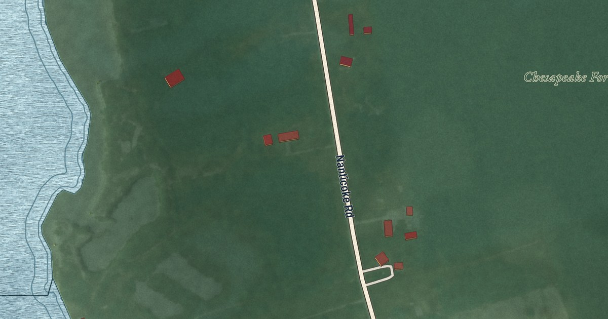
A detailed map of Waterview, Maryland, showing every building in its true location, the roads by name, and shaded topographical relief.
Read More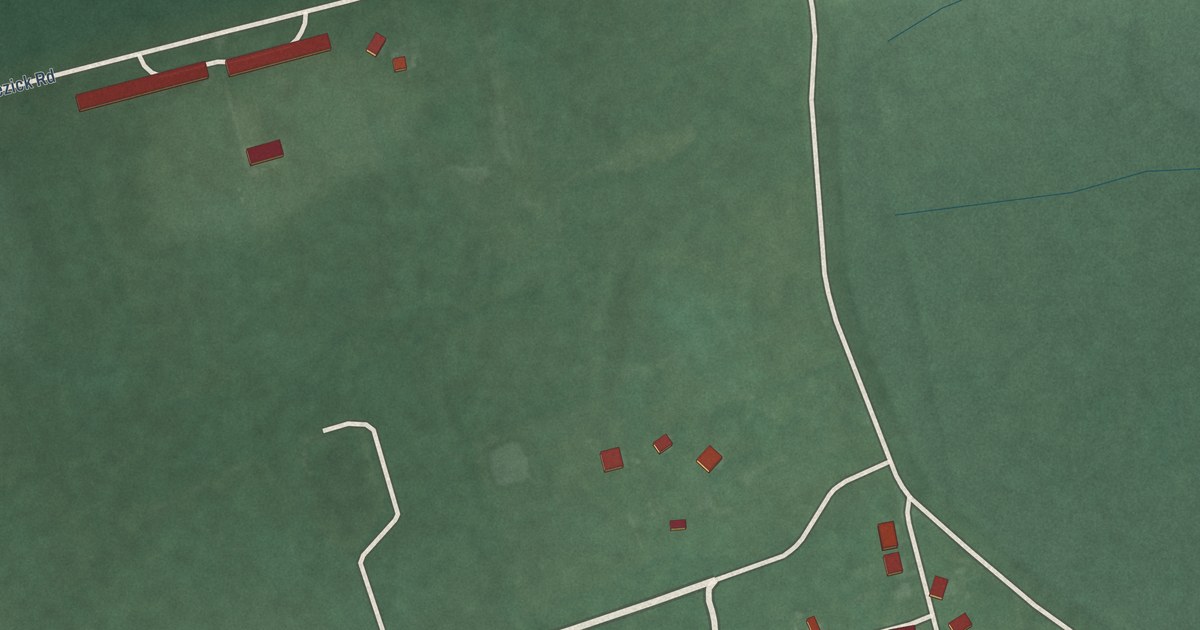
A detailed map of Whitehaven, Maryland, showing every building in its true location, the roads by name, and shaded topographical relief.
Read More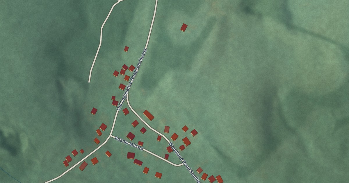
A detailed map of Woodland, Maryland, showing every building in its true location, the roads by name, and shaded topographical relief.
Read More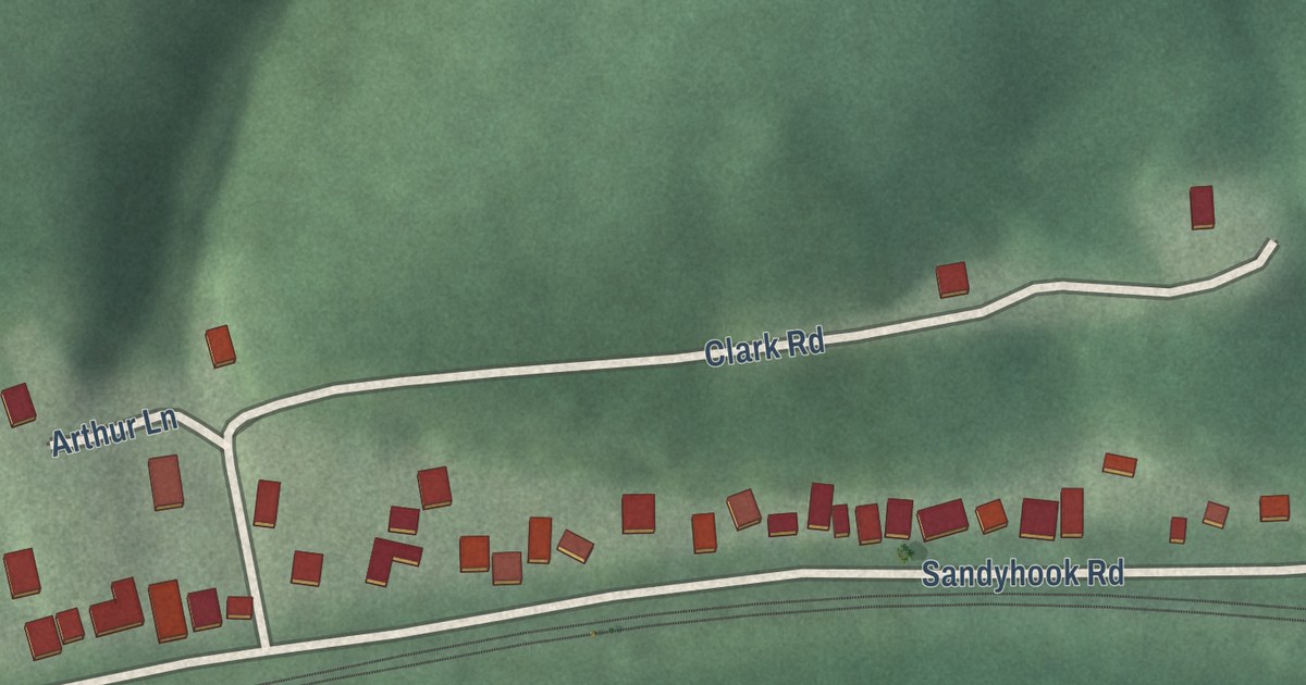
A detailed map of Sandy Hook, Maryland, showing every building in its true location, the roads by name, and shaded topographical relief.
Read More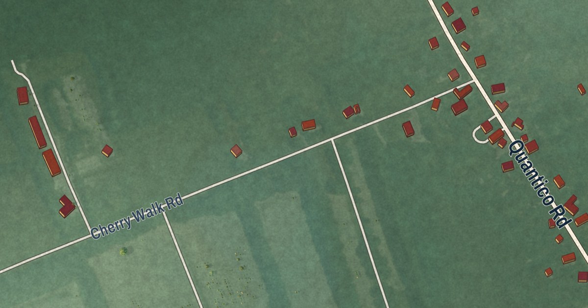
A detailed map of Quantico, Maryland, showing every building in its true location, the roads by name, and shaded topographical relief.
Read More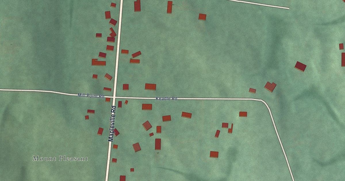
A detailed map of Mapleville, Maryland, showing every building in its true location, the roads by name, and shaded topographical relief.
Read More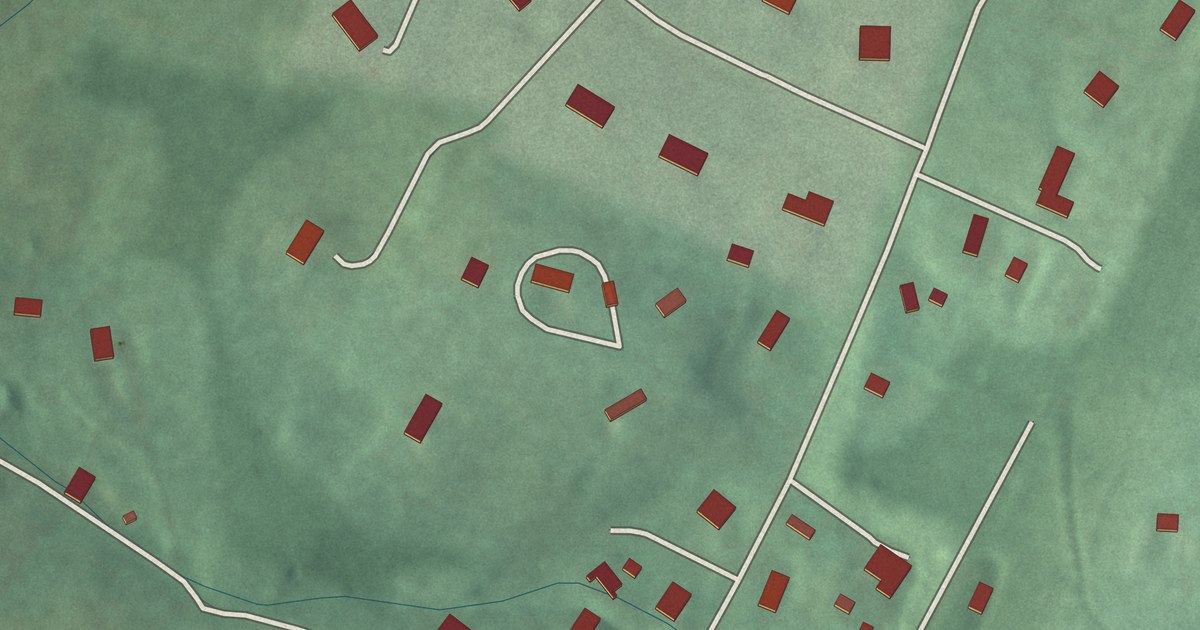
A detailed map of Jugtown, Maryland, showing every building in its true location, the roads by name, and shaded topographical relief.
Read More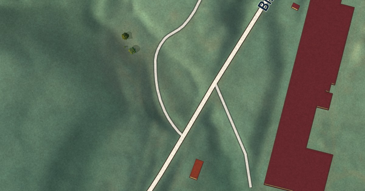
A detailed map of Jennings, Maryland, showing every building in its true location, the roads by name, and shaded topographical relief.
Read More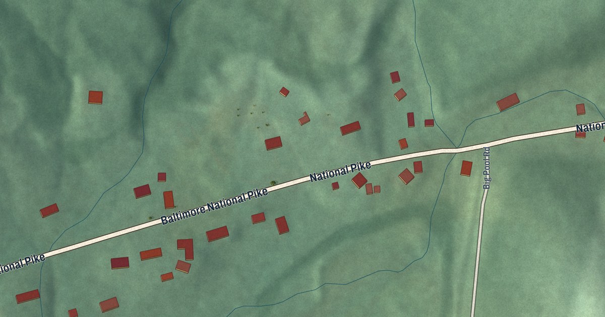
A detailed map of Indian Springs, Maryland, showing every building in its true location, the roads by name, and shaded topographical relief.
Read More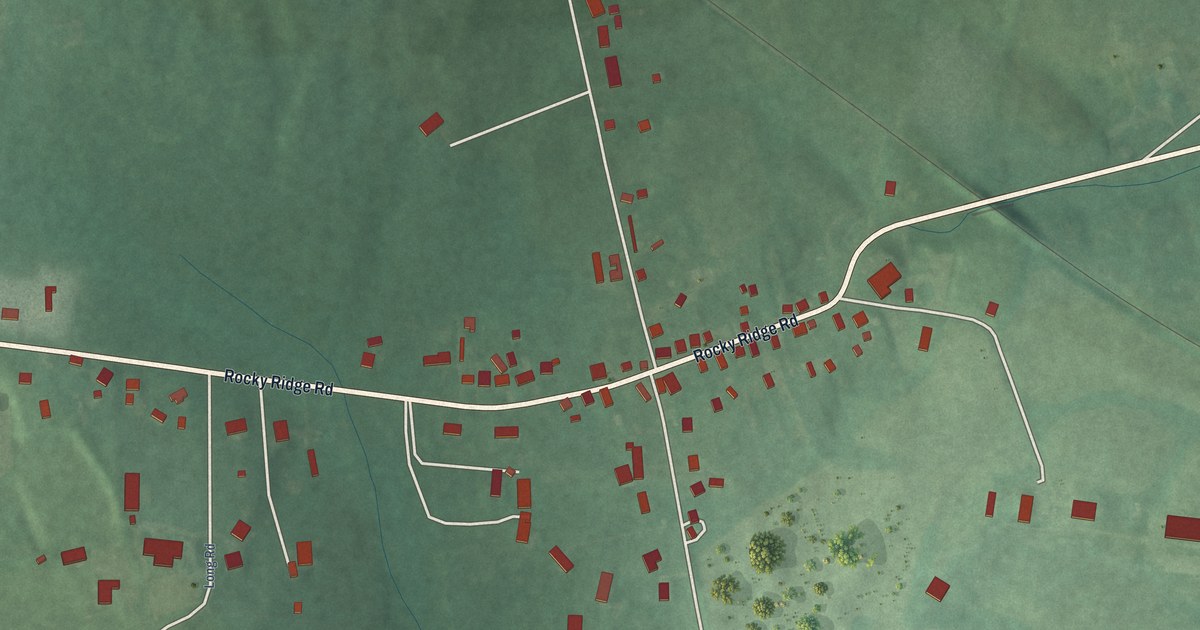
A detailed map of Graceham, Maryland, showing every building in its true location, the roads by name, and shaded topographical relief.
Read More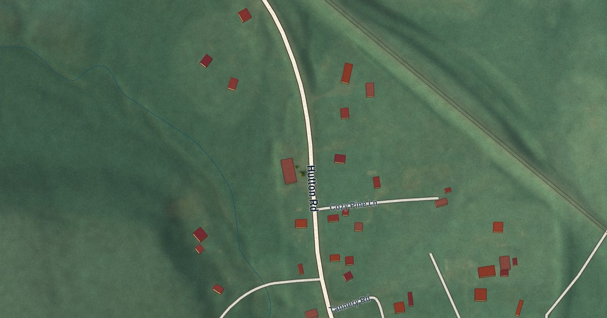
A detailed map of Hutton, Maryland, showing every building in its true location, the roads by name, and shaded topographical relief.
Read More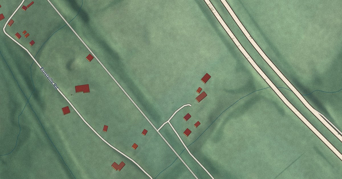
A detailed map of Ernstville, Maryland, showing every building in its true location, the roads by name, and shaded topographical relief.
Read More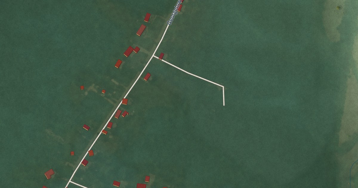
A detailed map of Georgetown, Maryland, showing every building in its true location, the roads by name, and shaded topographical relief.
Read More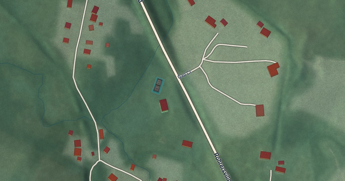
A detailed map of Gapland, Maryland, showing every building in its true location, the roads by name, and shaded topographical relief.
Read More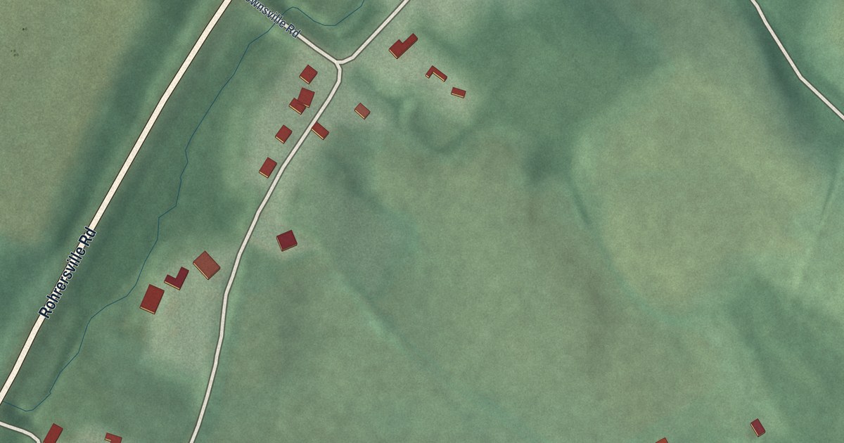
A detailed map of Brownsville, Maryland, showing every building in its true location, the roads by name, and shaded topographical relief.
Read More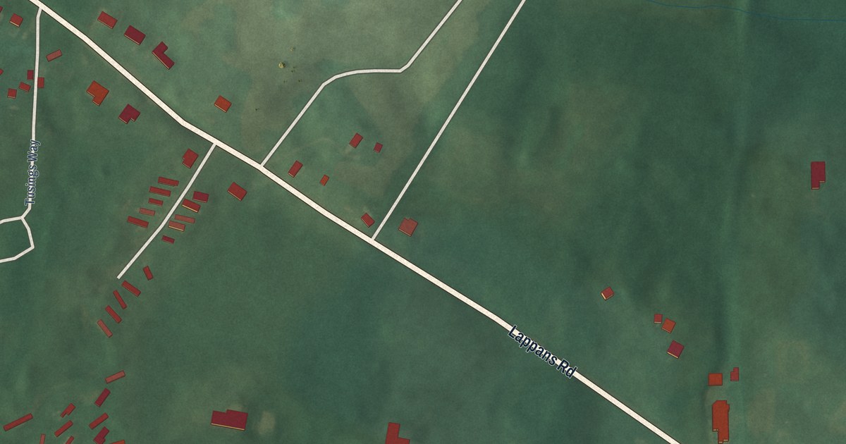
A detailed map of Breathedsville, Maryland, showing every building in its true location, the roads by name, and shaded topographical relief.
Read More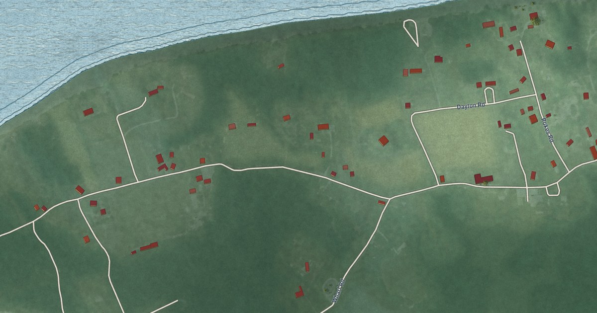
A detailed map of Elliott, Maryland, showing every building in its true location, the roads by name, and shaded topographical relief.
Read More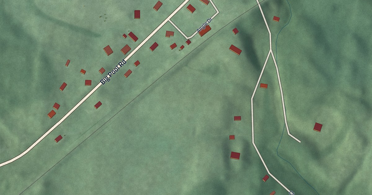
A detailed map of Big Spring, Maryland, showing every building in its true location, the roads by name, and shaded topographical relief.
Read More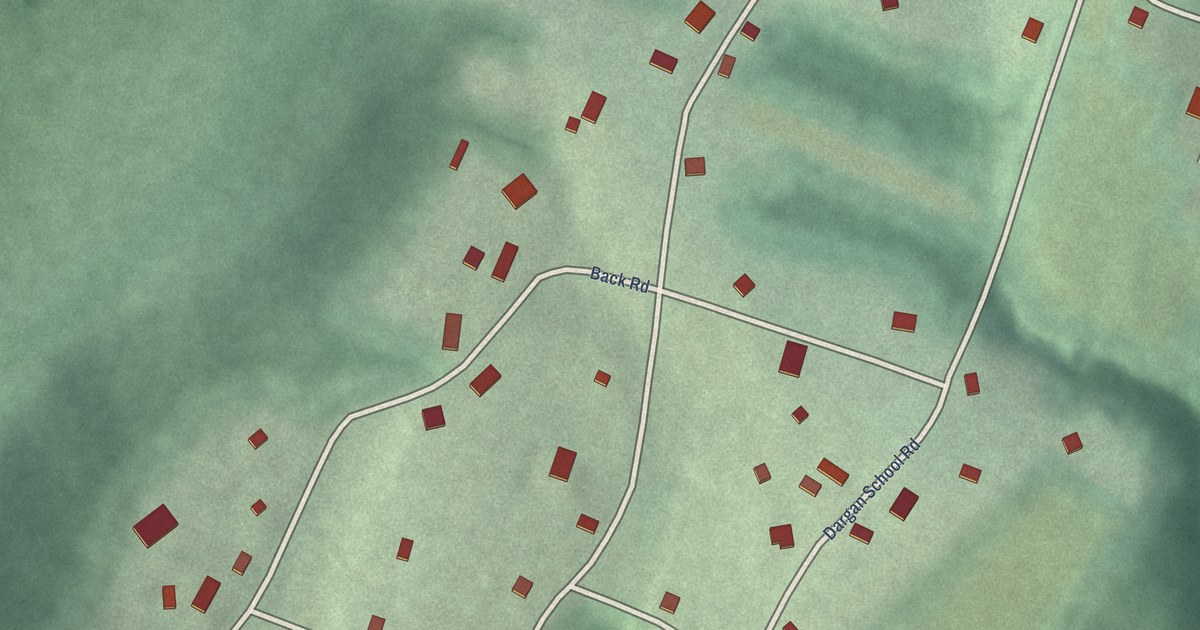
A detailed map of Dargan, Maryland, showing every building in its true location, the roads by name, and shaded topographical relief.
Read More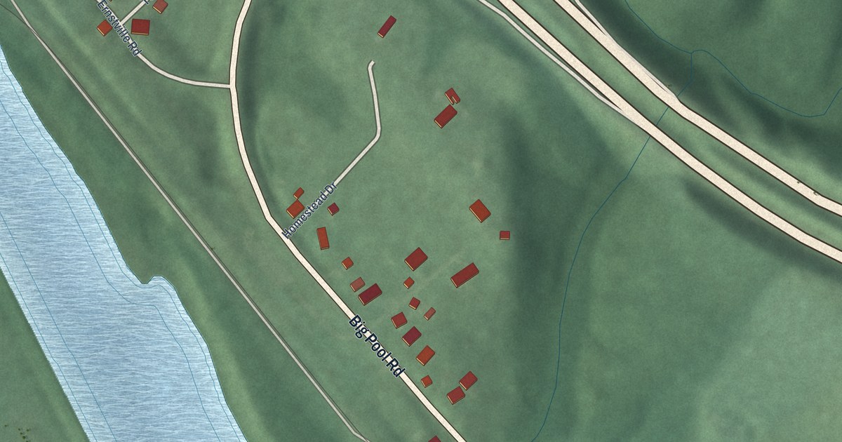
A detailed map of Big Pool, Maryland, showing every building in its true location, the roads by name, and shaded topographical relief.
Read More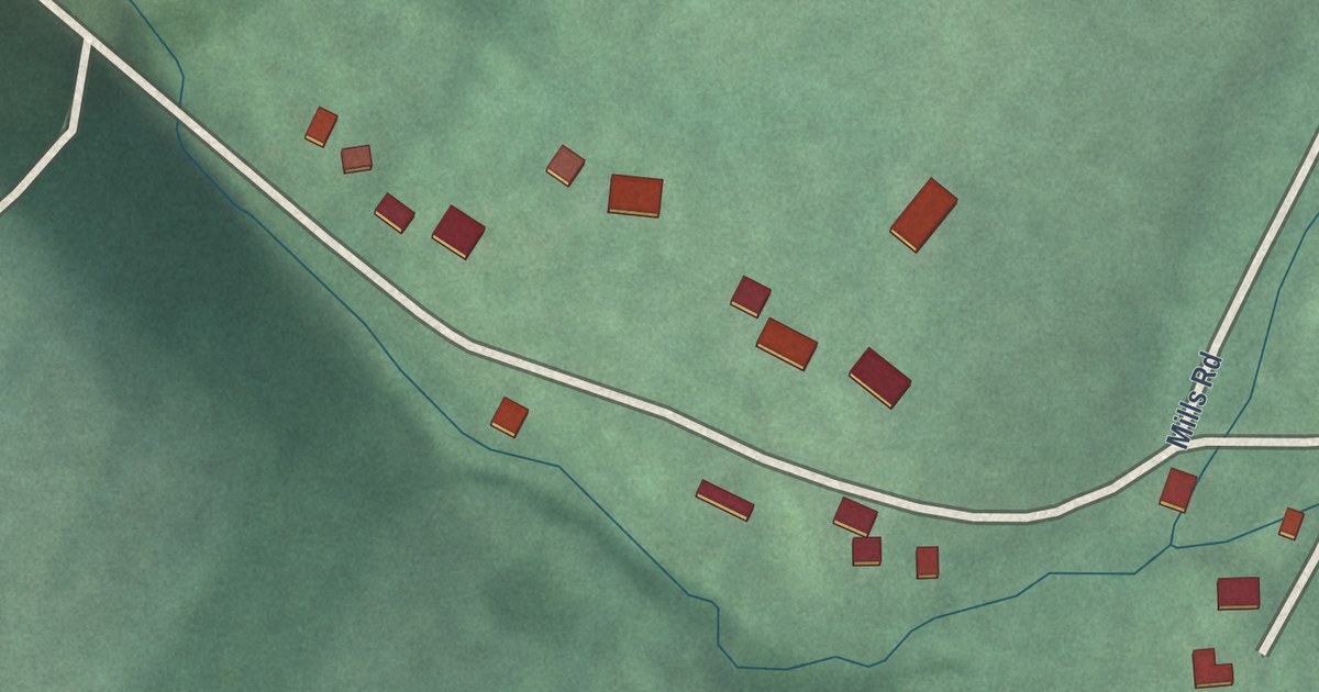
A detailed map of Antietam, Maryland, showing every building in its true location, the roads by name, and shaded topographical relief.
Read More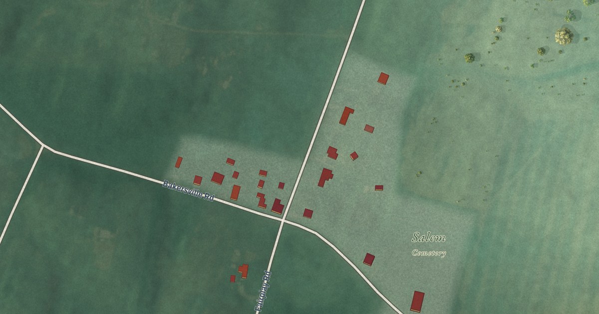
A detailed map of Bakersville, Maryland, showing every building in its true location, the roads by name, and shaded topographical relief.
Read More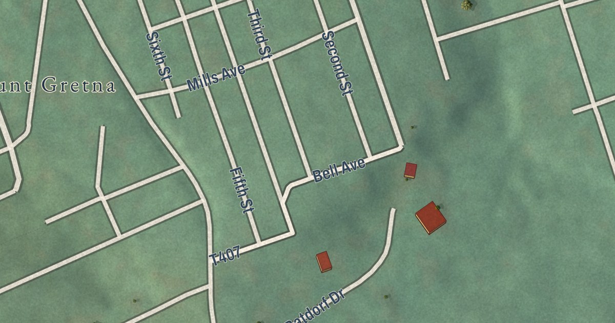
A detailed map of Mount Gretna Heights, Pennsylvania, showing every building in its true location, the roads by name, and shaded topographical relief.
Read More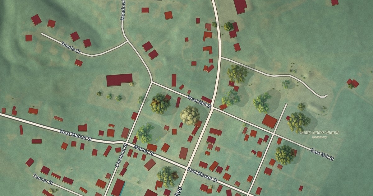
A detailed map of Mount Aetna, Pennsylvania, showing every building in its true location, the roads by name, and shaded topographical relief.
Read More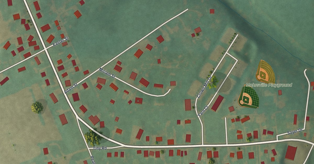
A detailed map of Mohrsville, Pennsylvania, showing every building in its true location, the roads by name, and shaded topographical relief.
Read More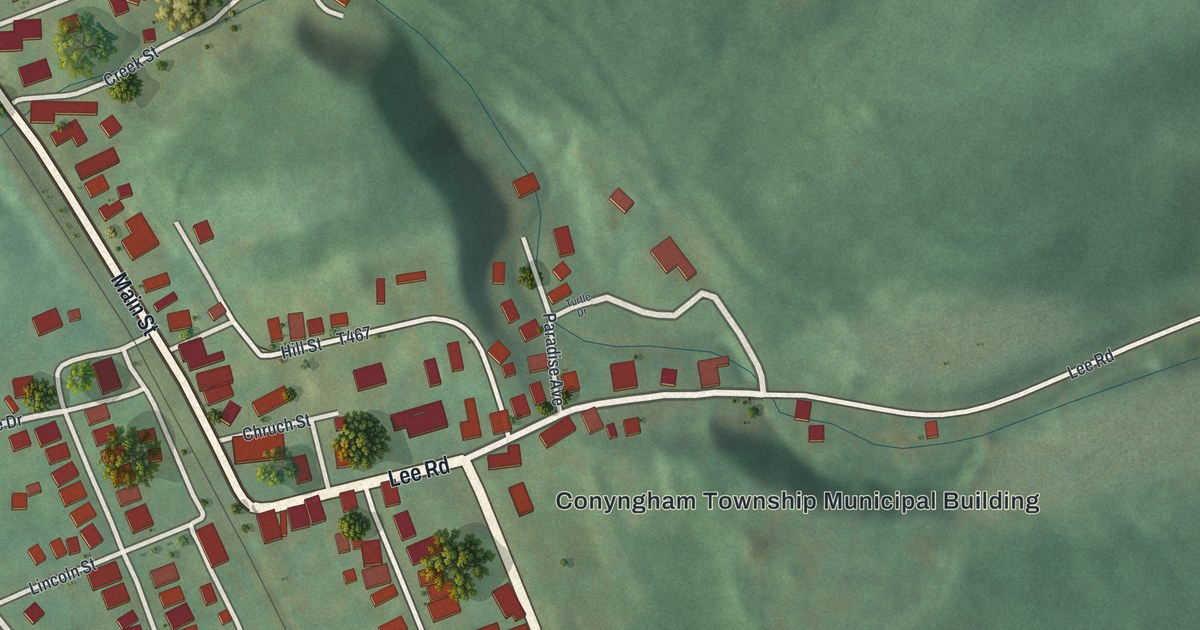
A detailed map of Mocanaqua, Pennsylvania, showing every building in its true location, the roads by name, and shaded topographical relief.
Read More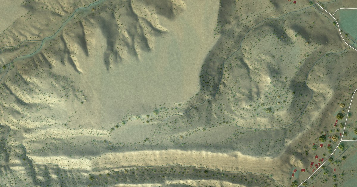
A detailed map of Washam, Wyoming, showing every building in its true location, the roads by name, and shaded topographical relief.
Read More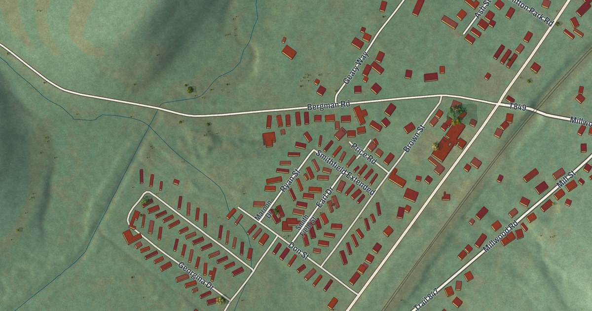
A detailed map of Millwood, Pennsylvania, showing every building in its true location, the roads by name, and shaded topographical relief.
Read More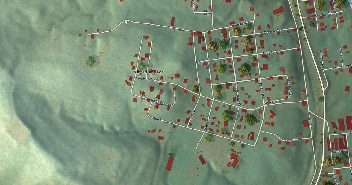
A detailed map of Millsboro, Pennsylvania, showing every building in its true location, the roads by name, and shaded topographical relief.
Read More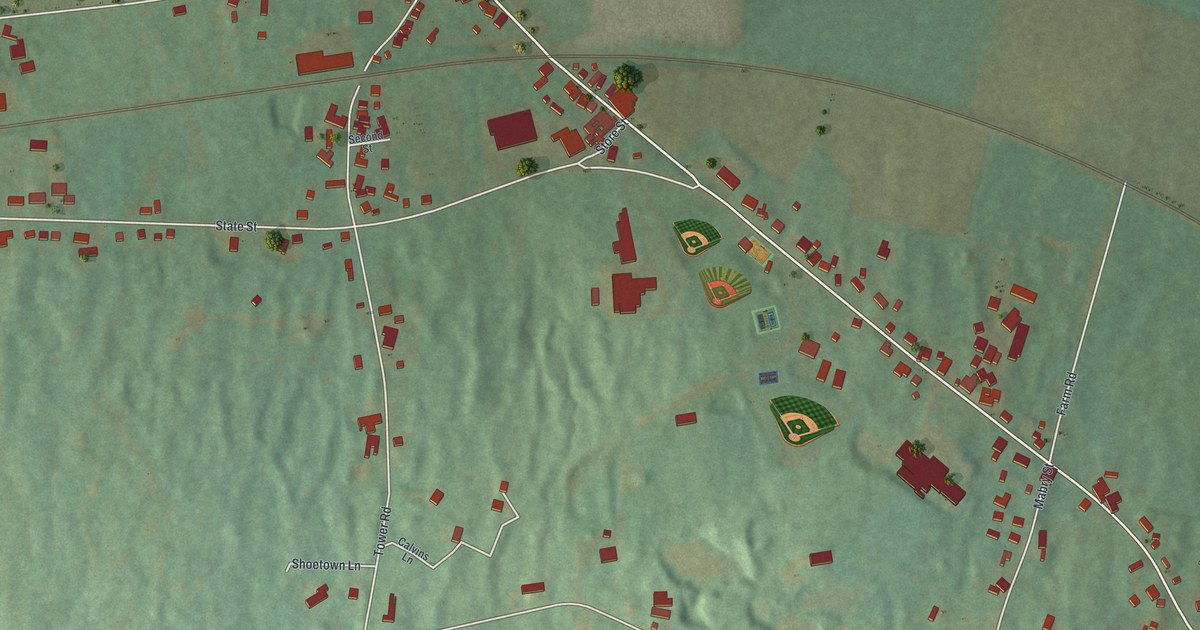
A detailed map of Mertztown, Pennsylvania, showing every building in its true location, the roads by name, and shaded topographical relief.
Read More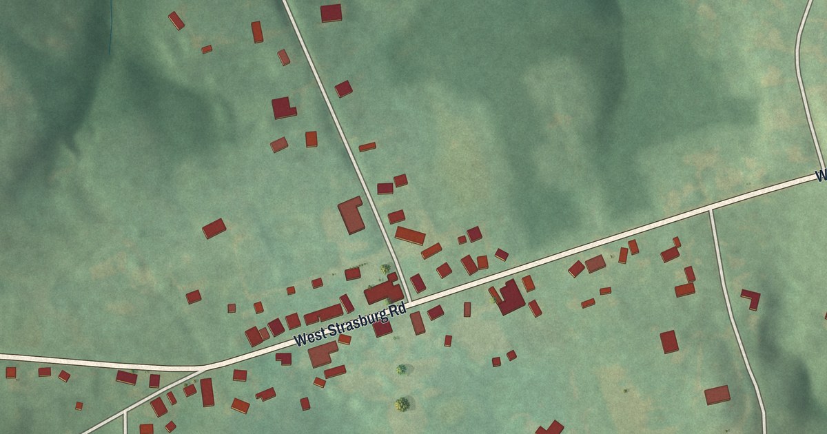
A detailed map of Marshallton, Pennsylvania, showing every building in its true location, the roads by name, and shaded topographical relief.
Read More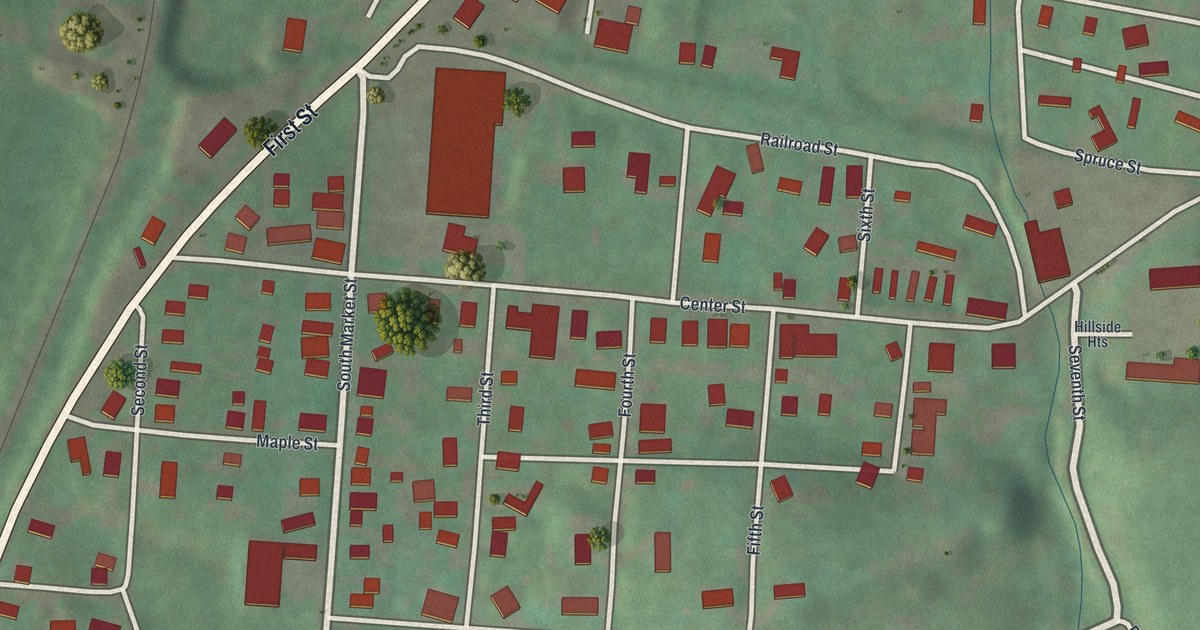
A detailed map of Lenkerville, Pennsylvania, showing every building in its true location, the roads by name, and shaded topographical relief.
Read More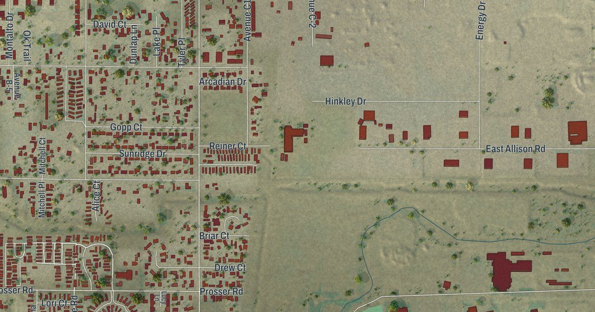
A detailed map of Fox Farm-College, Wyoming, showing every building in its true location, the roads by name, and shaded topographical relief.
Read More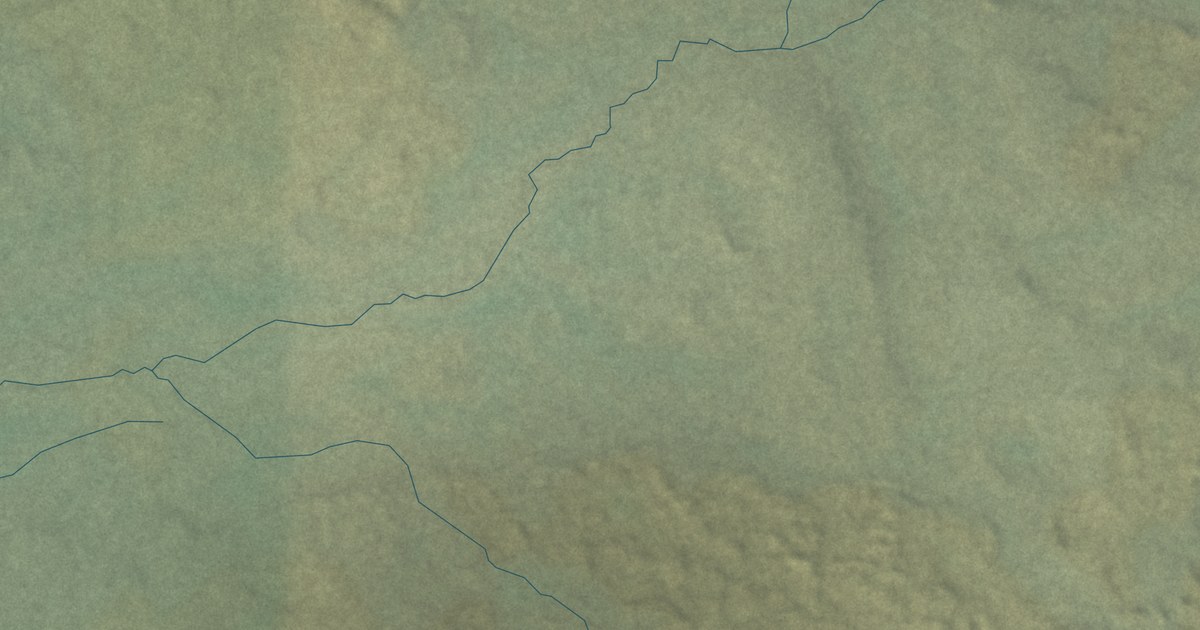
A detailed map of Table Rock, Wyoming, showing every building in its true location, the roads by name, and shaded topographical relief.
Read More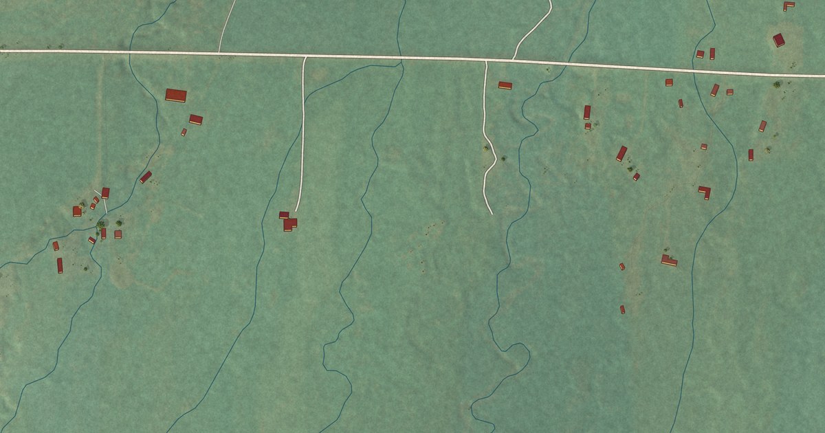
A detailed map of Robertson, Wyoming, showing every building in its true location, the roads by name, and shaded topographical relief.
Read More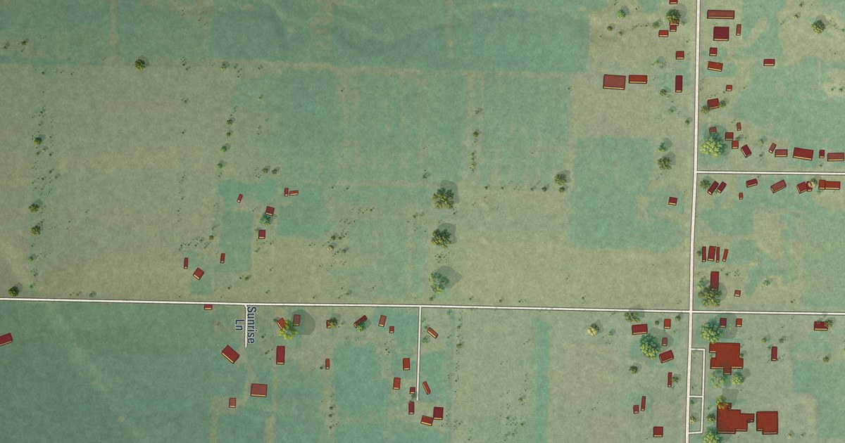
A detailed map of Osmond, Wyoming, showing every building in its true location, the roads by name, and shaded topographical relief.
Read More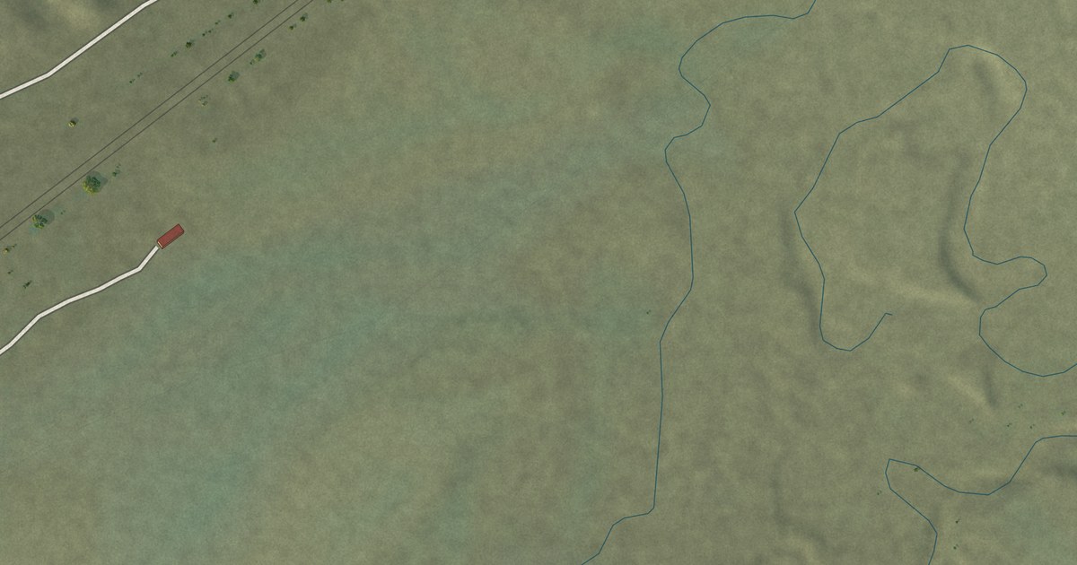
A detailed map of Carter, Wyoming, showing every building in its true location, the roads by name, and shaded topographical relief.
Read More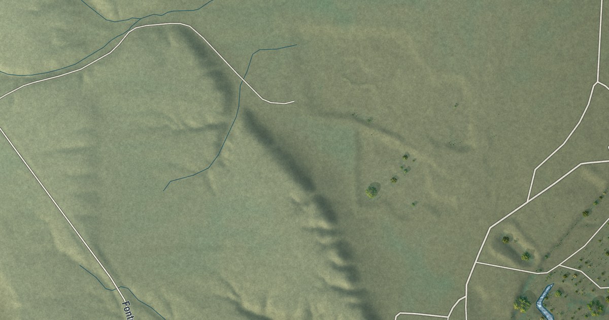
A detailed map of Fontenelle, Wyoming, showing every building in its true location, the roads by name, and shaded topographical relief.
Read More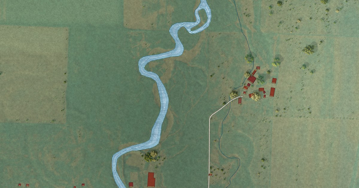
A detailed map of Freedom, Wyoming, showing every building in its true location, the roads by name, and shaded topographical relief.
Read More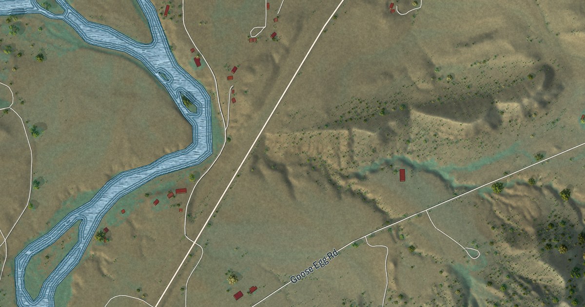
A detailed map of Bessemer Bend, Wyoming, showing every building in its true location, the roads by name, and shaded topographical relief.
Read More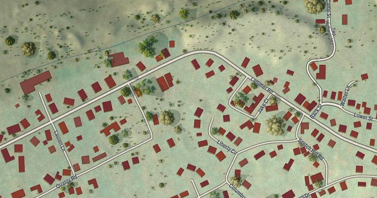
A detailed map of Lattimer, Pennsylvania, showing every building in its true location, the roads by name, and shaded topographical relief.
Read More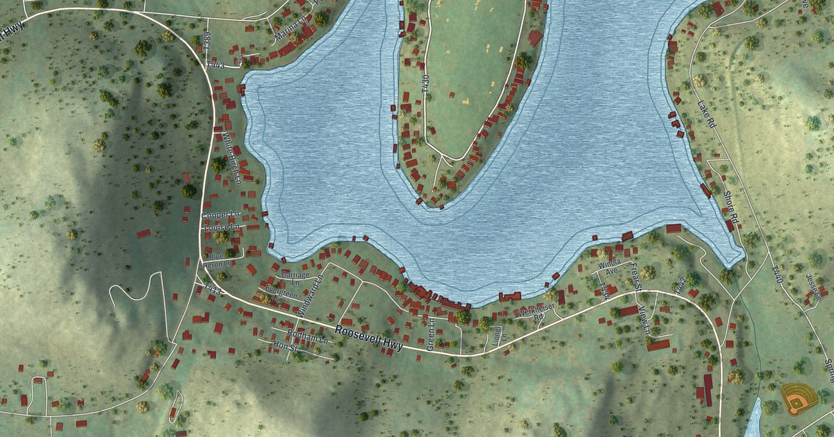
A detailed map of Lake Winola, Pennsylvania, showing every building in its true location, the roads by name, and shaded topographical relief.
Read More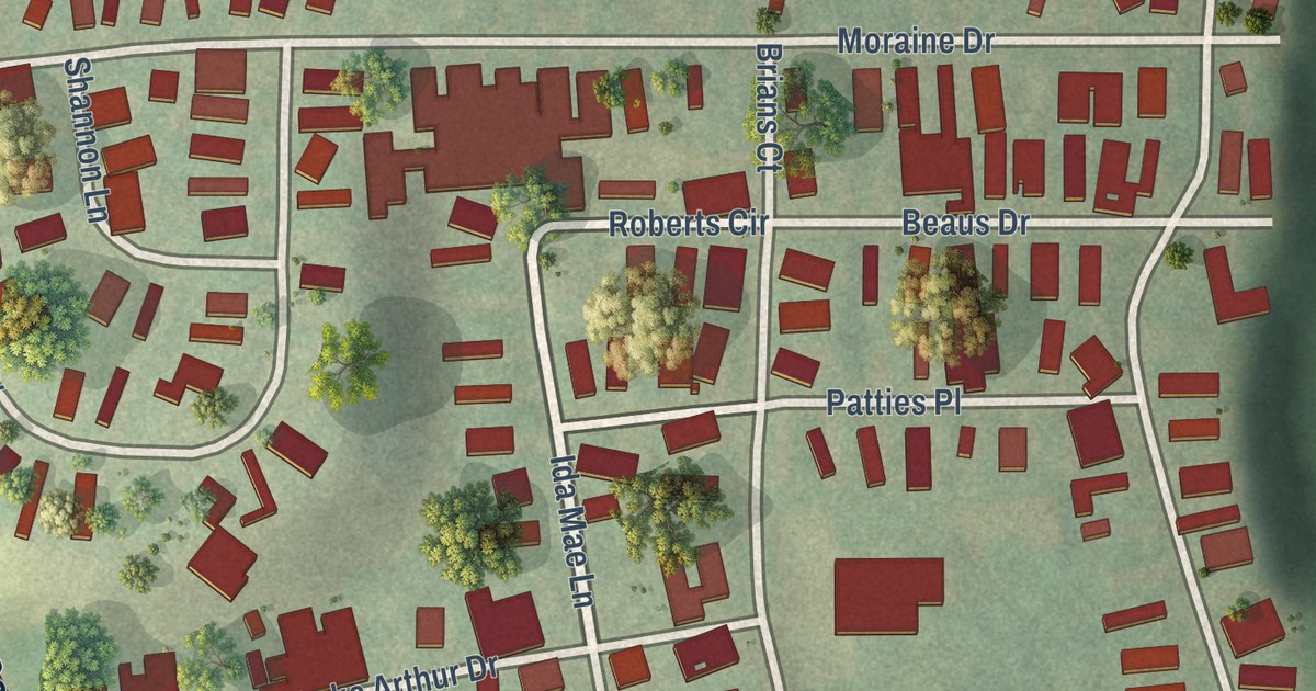
A detailed map of Lake Arthur Estates, Pennsylvania, showing every building in its true location, the roads by name, and shaded topographical relief.
Read More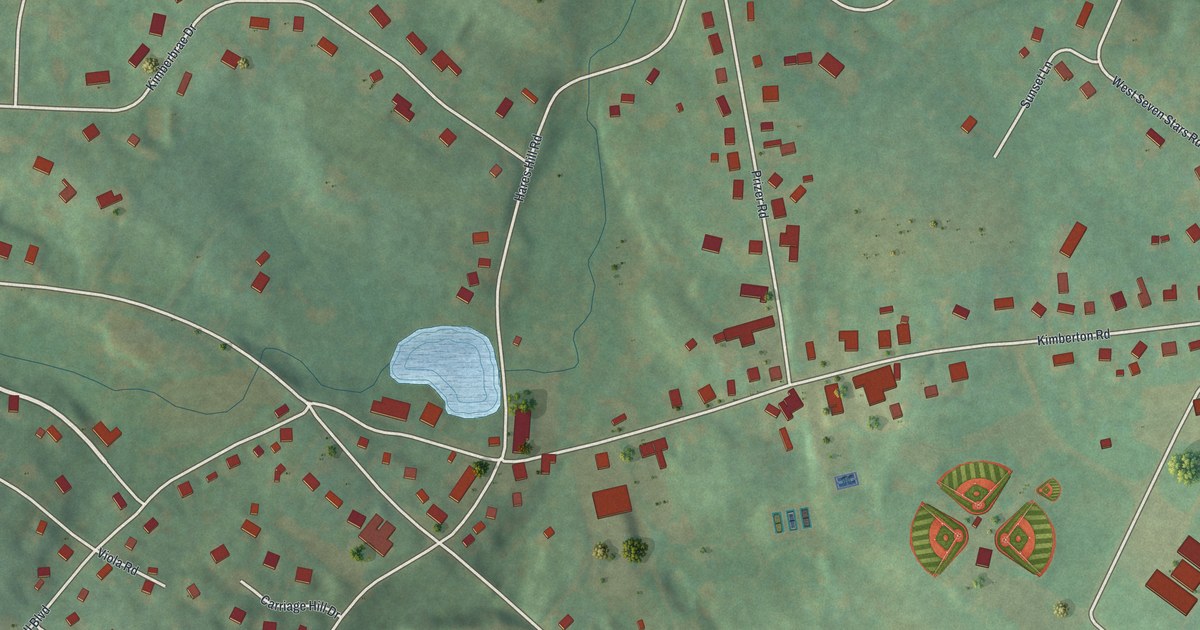
A detailed map of Kimberton, Pennsylvania, showing every building in its true location, the roads by name, and shaded topographical relief.
Read More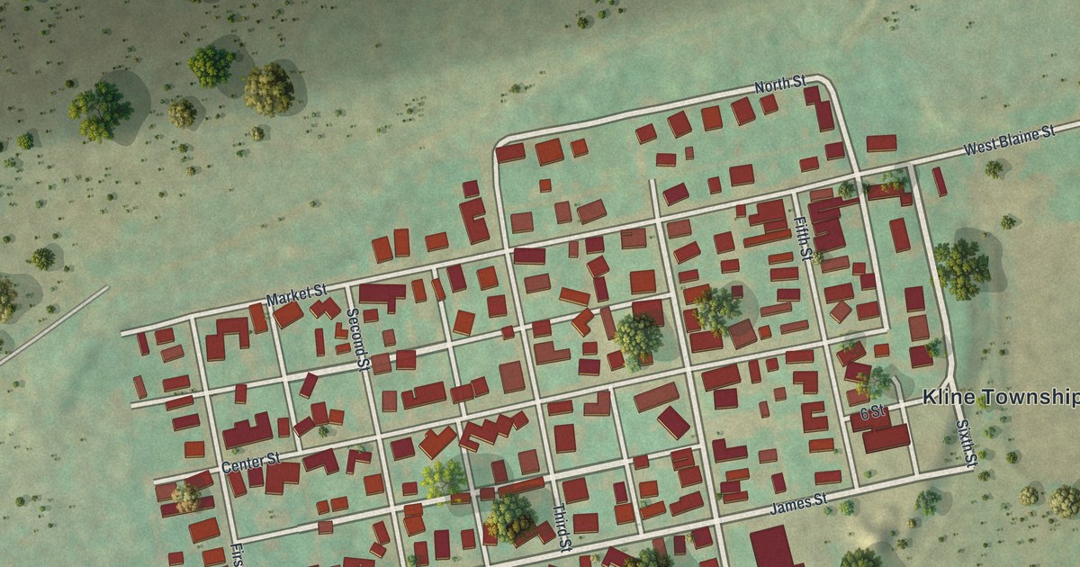
A detailed map of Kelayres, Pennsylvania, showing every building in its true location, the roads by name, and shaded topographical relief.
Read More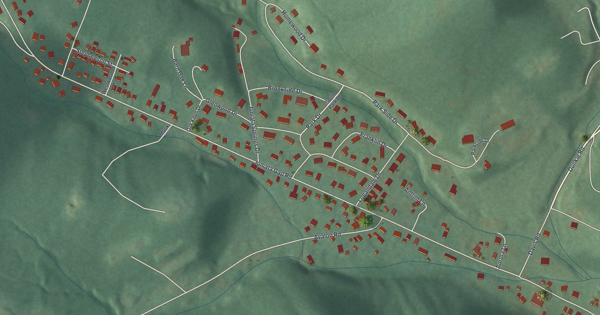
A detailed map of Juniata Gap, Pennsylvania, showing every building in its true location, the roads by name, and shaded topographical relief.
Read More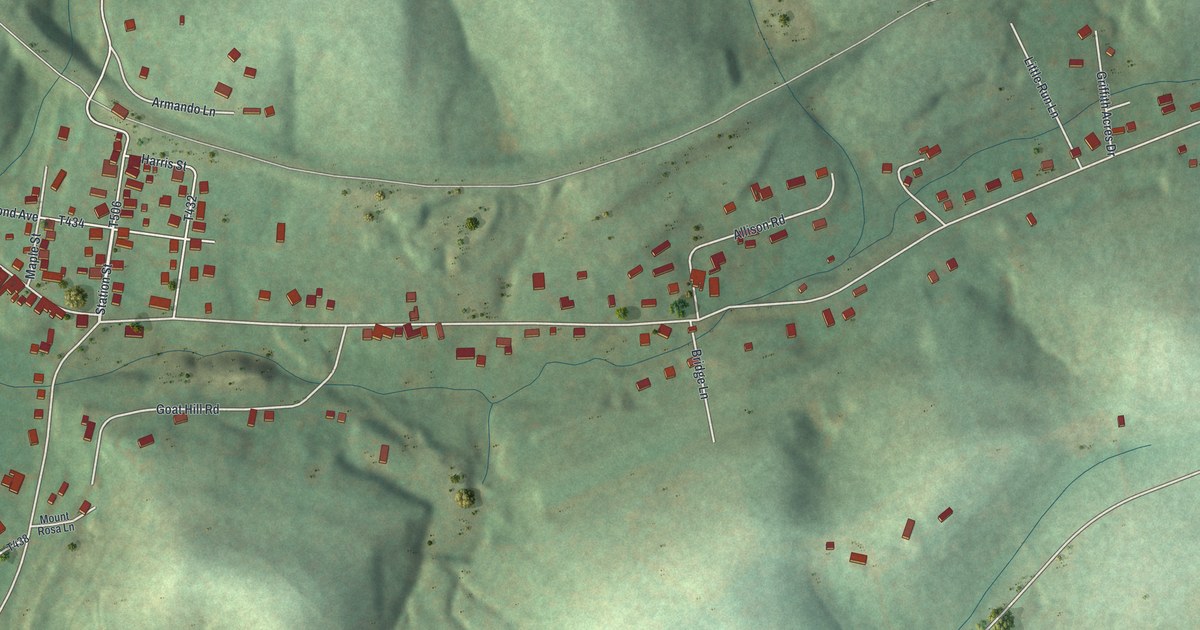
A detailed map of Joffre, Pennsylvania, showing every building in its true location, the roads by name, and shaded topographical relief.
Read More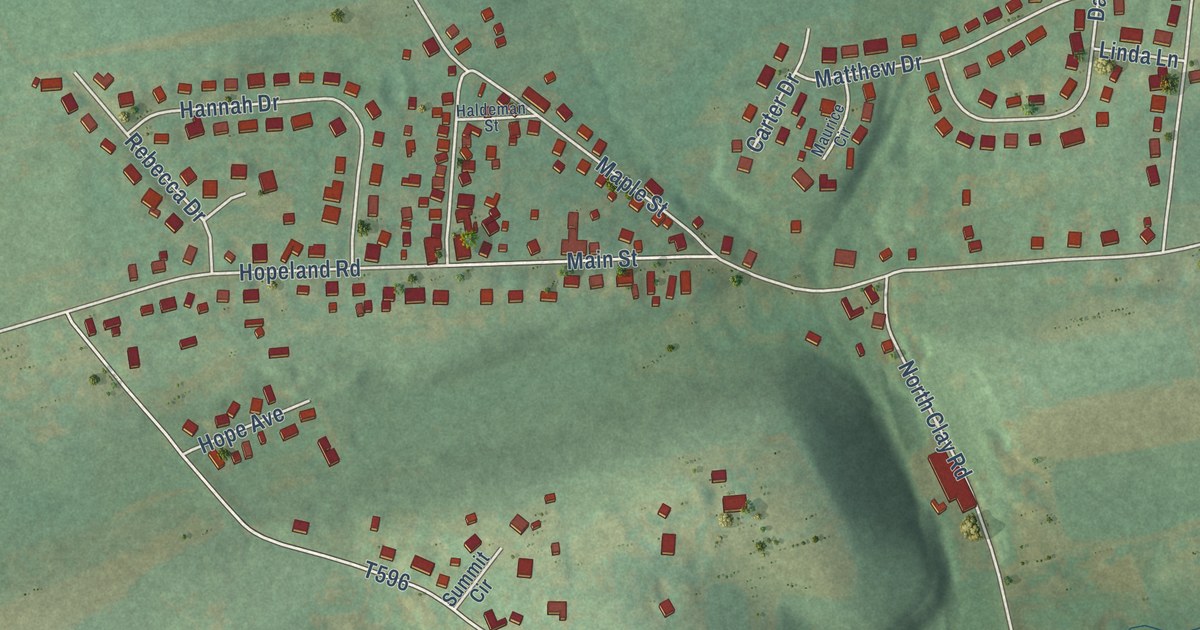
A detailed map of Hopeland, Pennsylvania, showing every building in its true location, the roads by name, and shaded topographical relief.
Read More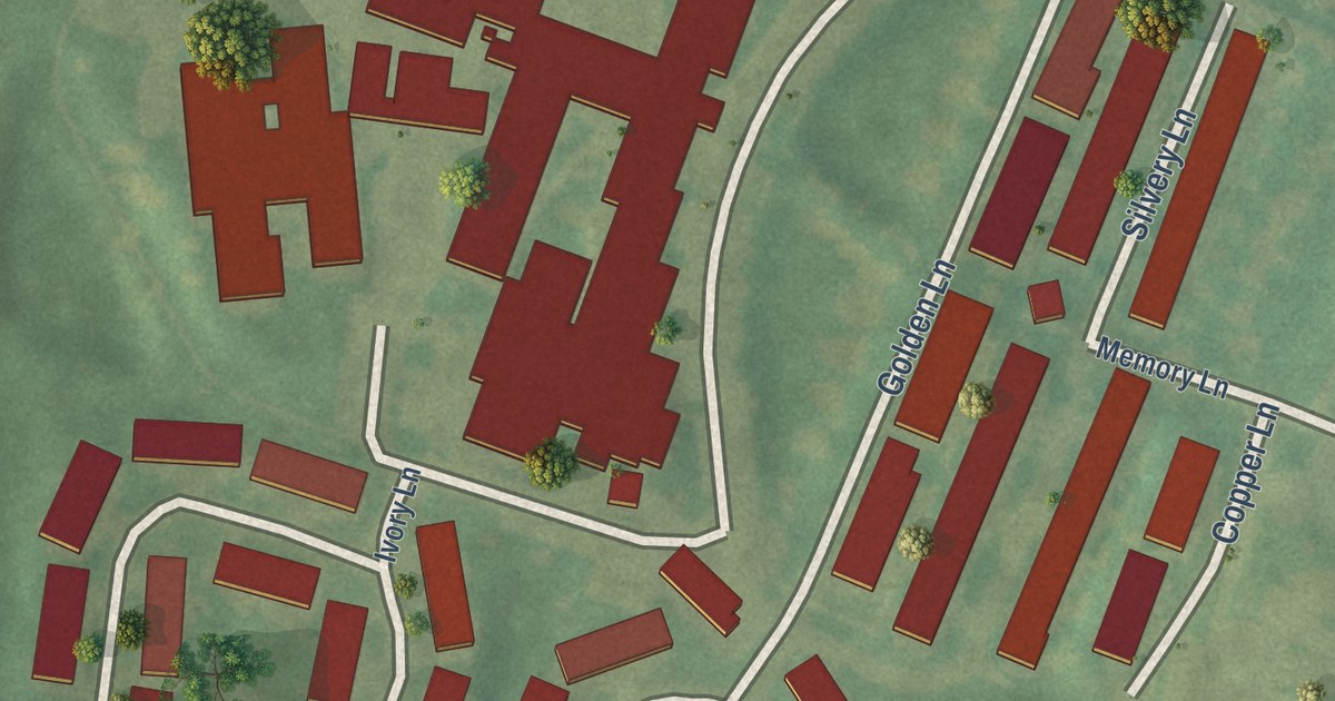
A detailed map of Homewood at Martinsburg, Pennsylvania, showing every building in its true location, the roads by name, and shaded topographical relief.
Read More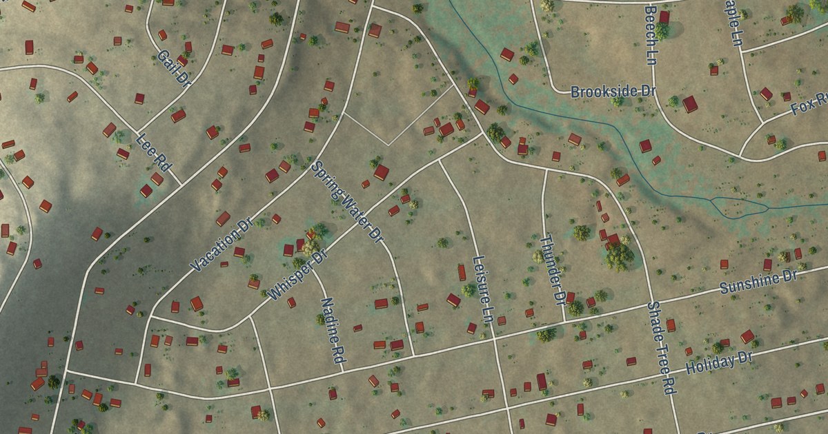
A detailed map of Hickory Hills, Pennsylvania, showing every building in its true location, the roads by name, and shaded topographical relief.
Read More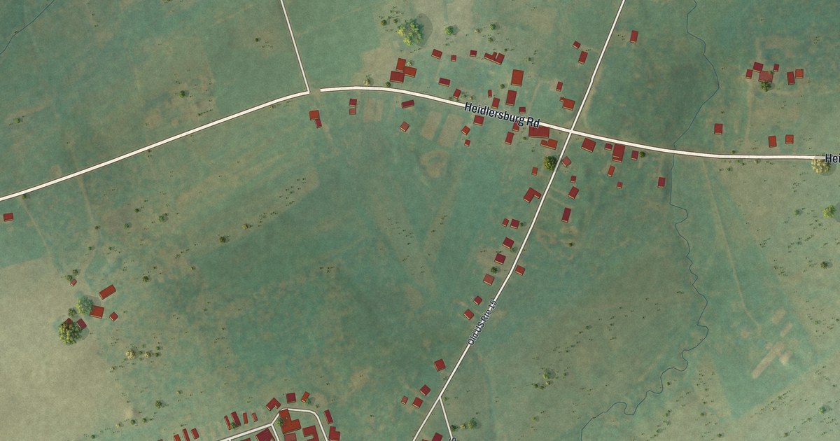
A detailed map of Heidlersburg, Pennsylvania, showing every building in its true location, the roads by name, and shaded topographical relief.
Read More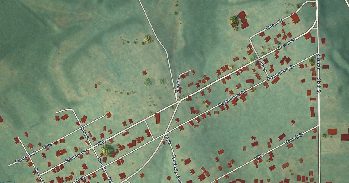
A detailed map of Hawk Run, Pennsylvania, showing every building in its true location, the roads by name, and shaded topographical relief.
Read More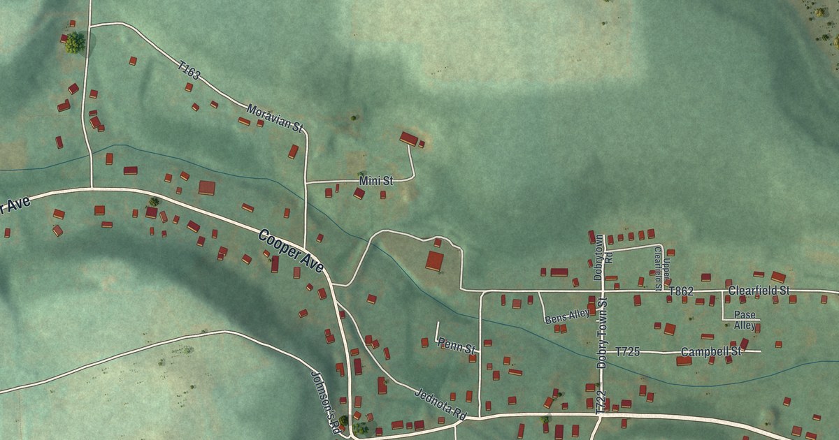
A detailed map of Grassflat, Pennsylvania, showing every building in its true location, the roads by name, and shaded topographical relief.
Read More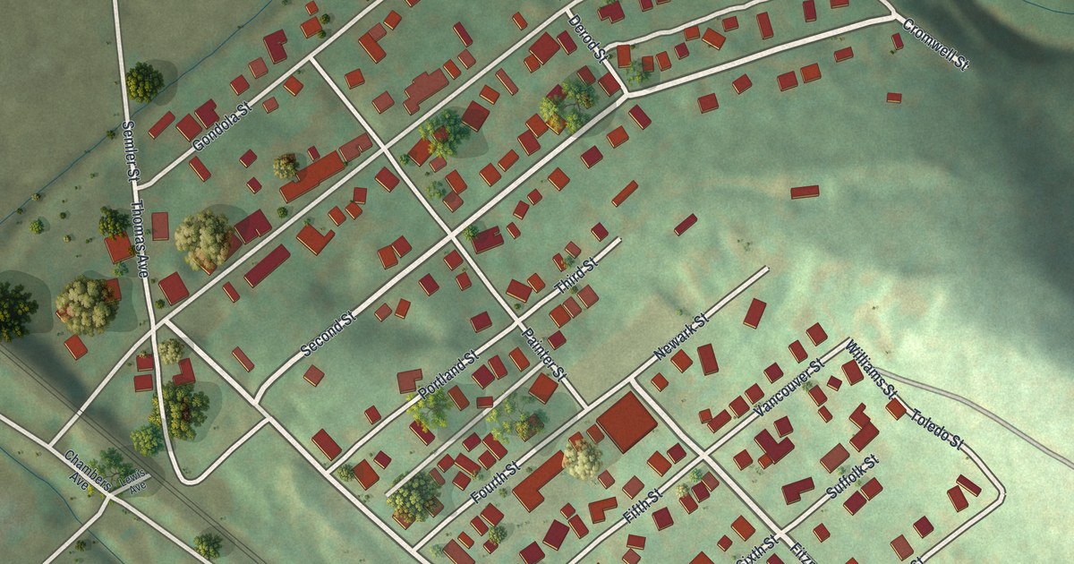
A detailed map of Grapeville, Pennsylvania, showing every building in its true location, the roads by name, and shaded topographical relief.
Read More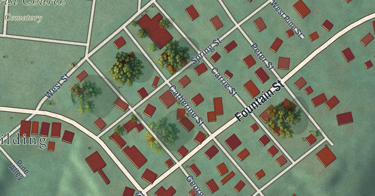
A detailed map of Fountain Springs, Pennsylvania, showing every building in its true location, the roads by name, and shaded topographical relief.
Read More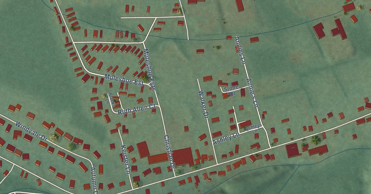
A detailed map of Foot of Ten, Pennsylvania, showing every building in its true location, the roads by name, and shaded topographical relief.
Read More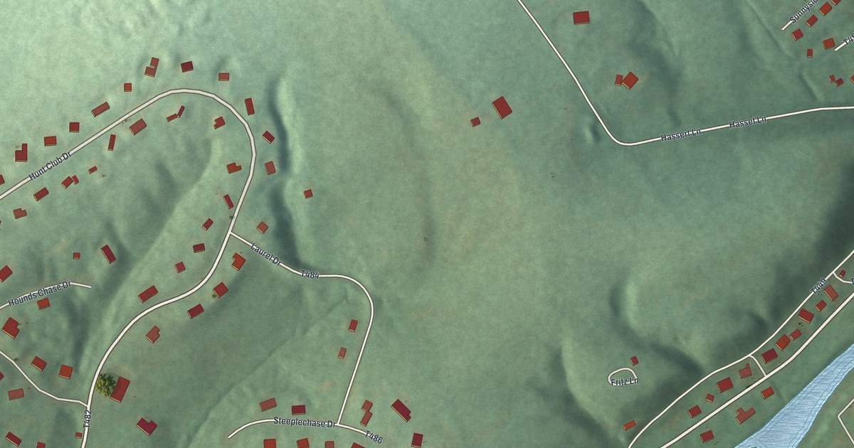
A detailed map of Fernville, Pennsylvania, showing every building in its true location, the roads by name, and shaded topographical relief.
Read More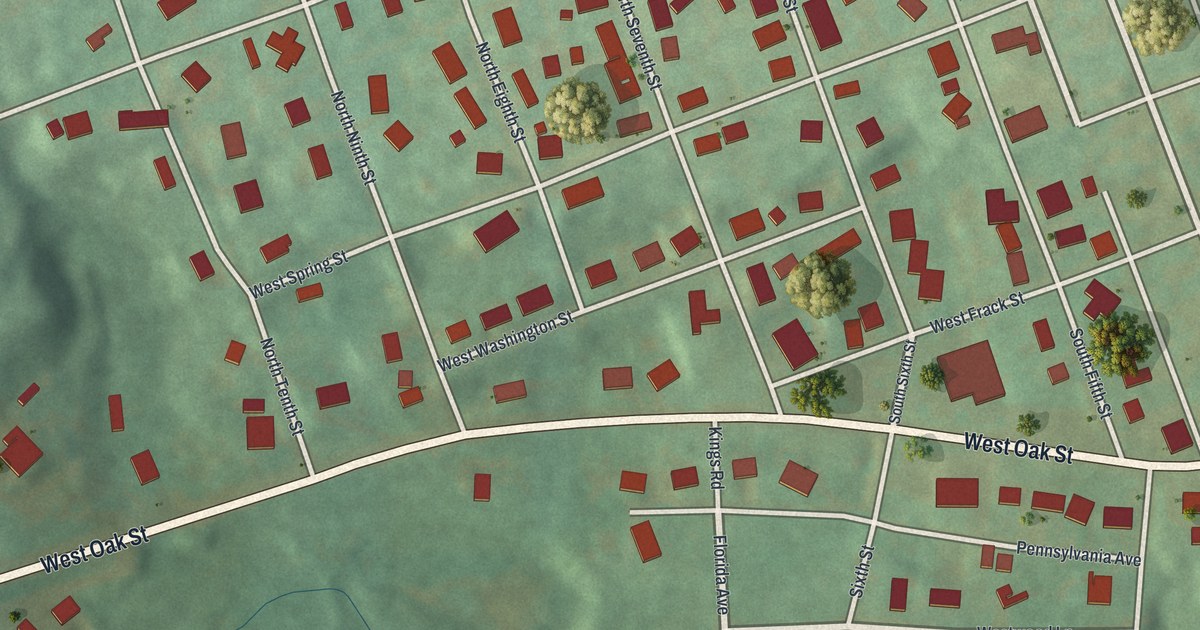
A detailed map of Englewood, Pennsylvania, showing every building in its true location, the roads by name, and shaded topographical relief.
Read More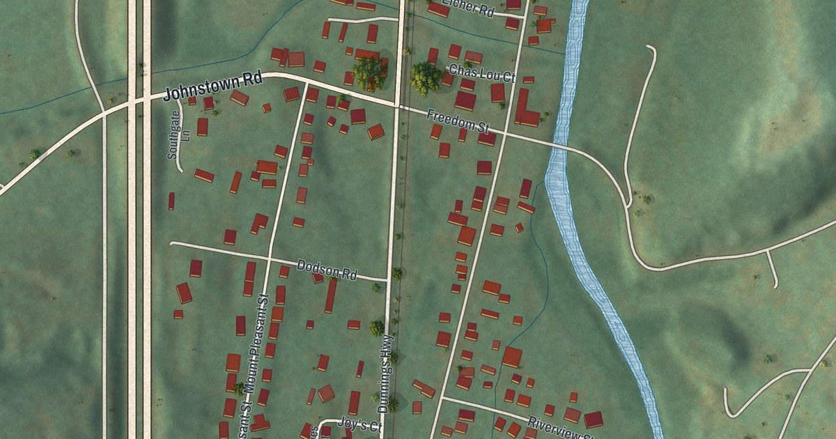
A detailed map of East Freedom, Pennsylvania, showing every building in its true location, the roads by name, and shaded topographical relief.
Read More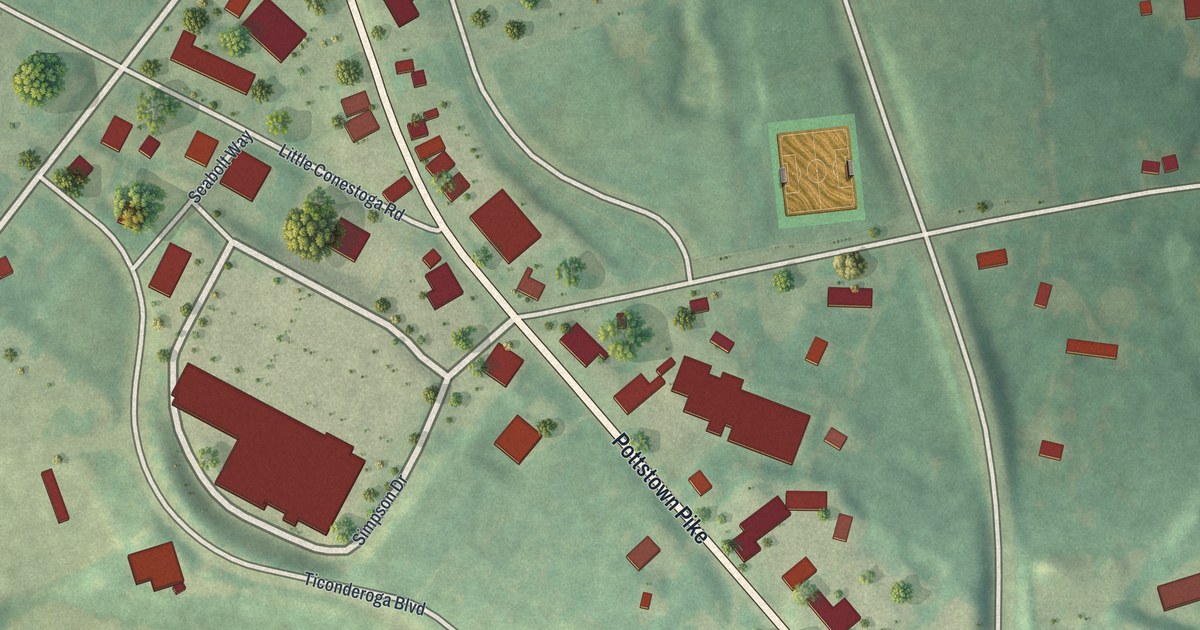
A detailed map of Eagle, Pennsylvania, showing every building in its true location, the roads by name, and shaded topographical relief.
Read More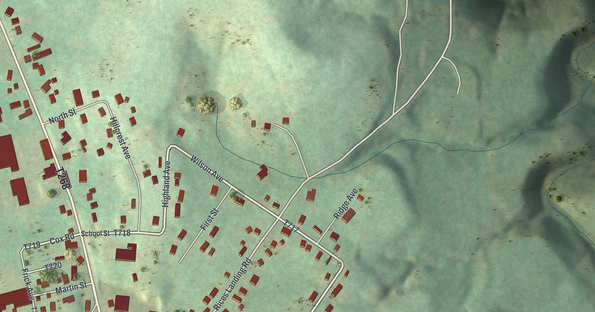
A detailed map of Dry Tavern, Pennsylvania, showing every building in its true location, the roads by name, and shaded topographical relief.
Read More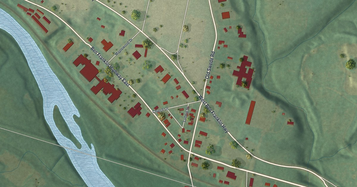
A detailed map of Douglassville, Pennsylvania, showing every building in its true location, the roads by name, and shaded topographical relief.
Read More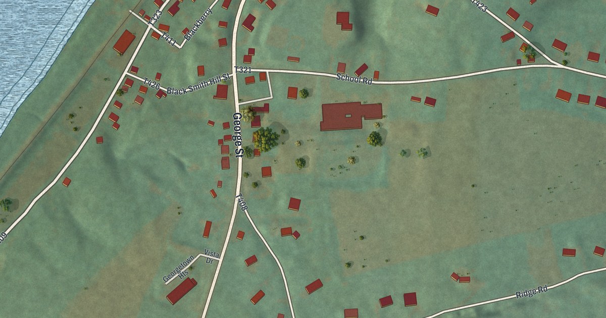
A detailed map of Dalmatia, Pennsylvania, showing every building in its true location, the roads by name, and shaded topographical relief.
Read More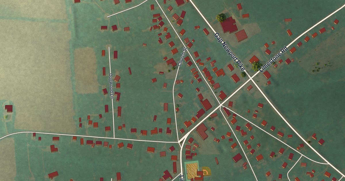
A detailed map of Cochranville, Pennsylvania, showing every building in its true location, the roads by name, and shaded topographical relief.
Read More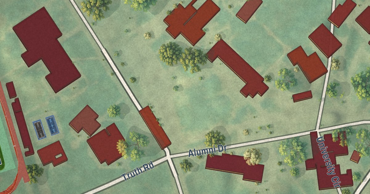
A detailed map of Cheyney University, Pennsylvania, showing every building in its true location, the roads by name, and shaded topographical relief.
Read More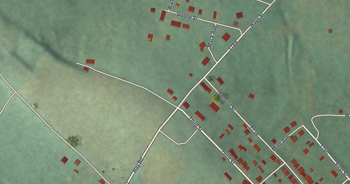
A detailed map of Cairnbrook, Pennsylvania, showing every building in its true location, the roads by name, and shaded topographical relief.
Read More















