Detailed Map of Highland-on-the-Lake, New York
A detailed map of Highland-on-the-Lake, New York, showing every building in its true location, the roads by name, and shaded topographical relief.
Read More
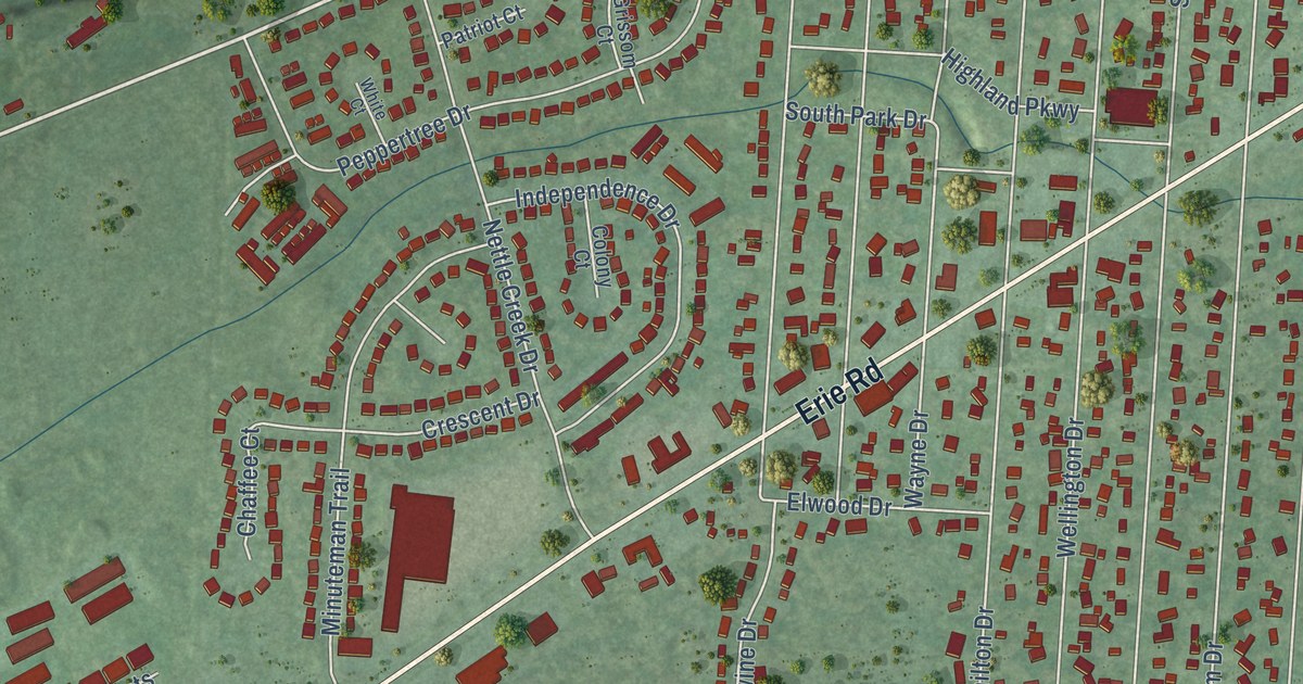
A detailed map of Highland-on-the-Lake, New York, showing every building in its true location, the roads by name, and shaded topographical relief.
Read More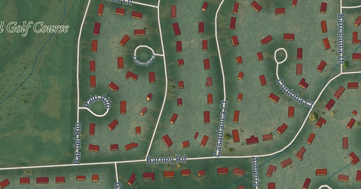
A detailed map of Clifton Knolls-Mill Creek, New York, showing every building in its true location, the roads by name, and shaded topographical relief.
Read More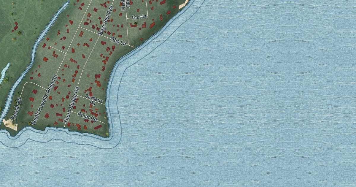
A detailed map of Bellport, New York, showing every building in its true location, the roads by name, and shaded topographical relief.
Read More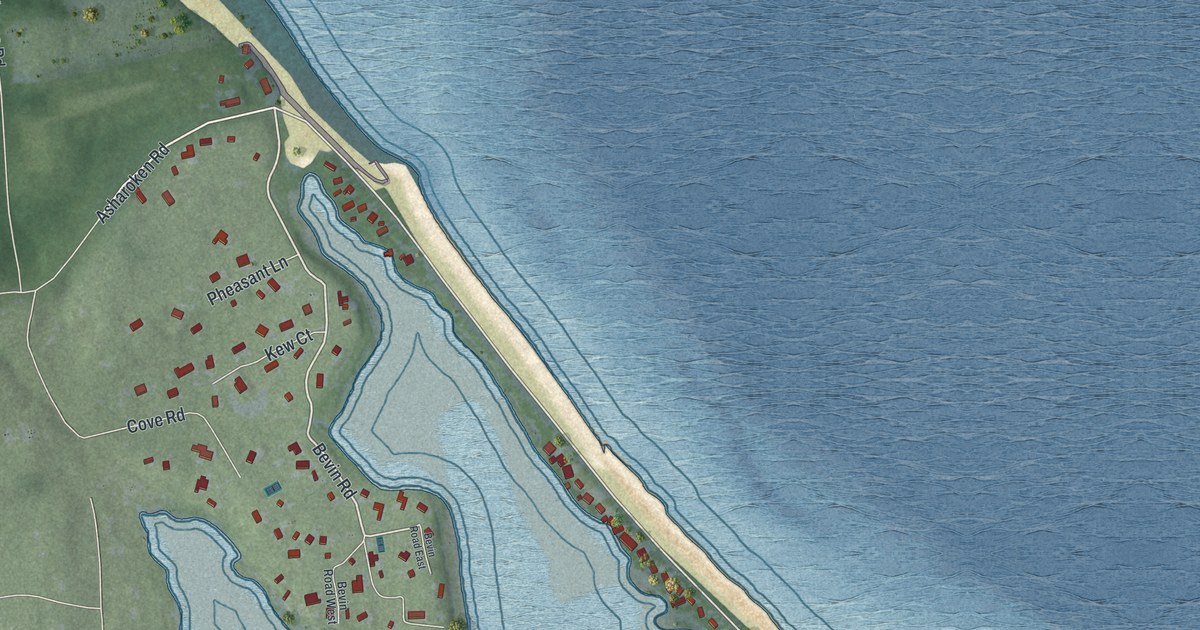
A detailed map of Asharoken, New York, showing every building in its true location, the roads by name, and shaded topographical relief.
Read More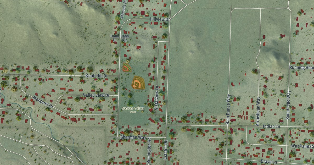
A detailed map of Golden Valley, Nevada, showing every building in its true location, the roads by name, and shaded topographical relief.
Read More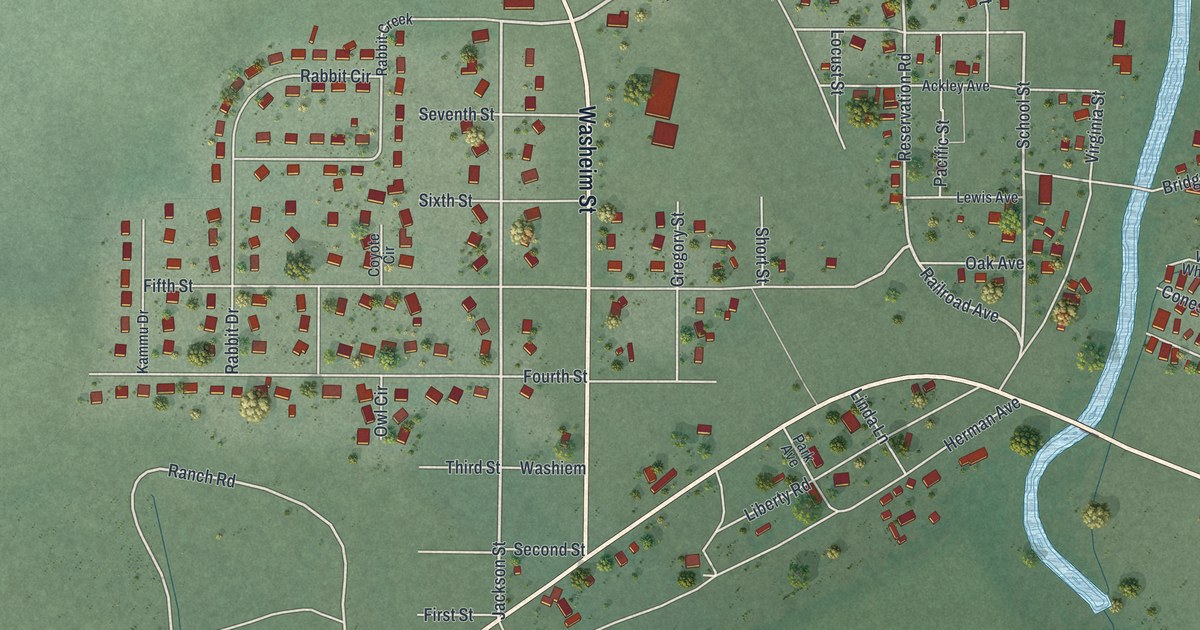
A detailed map of Wadsworth, Nevada, showing every building in its true location, the roads by name, and shaded topographical relief.
Read More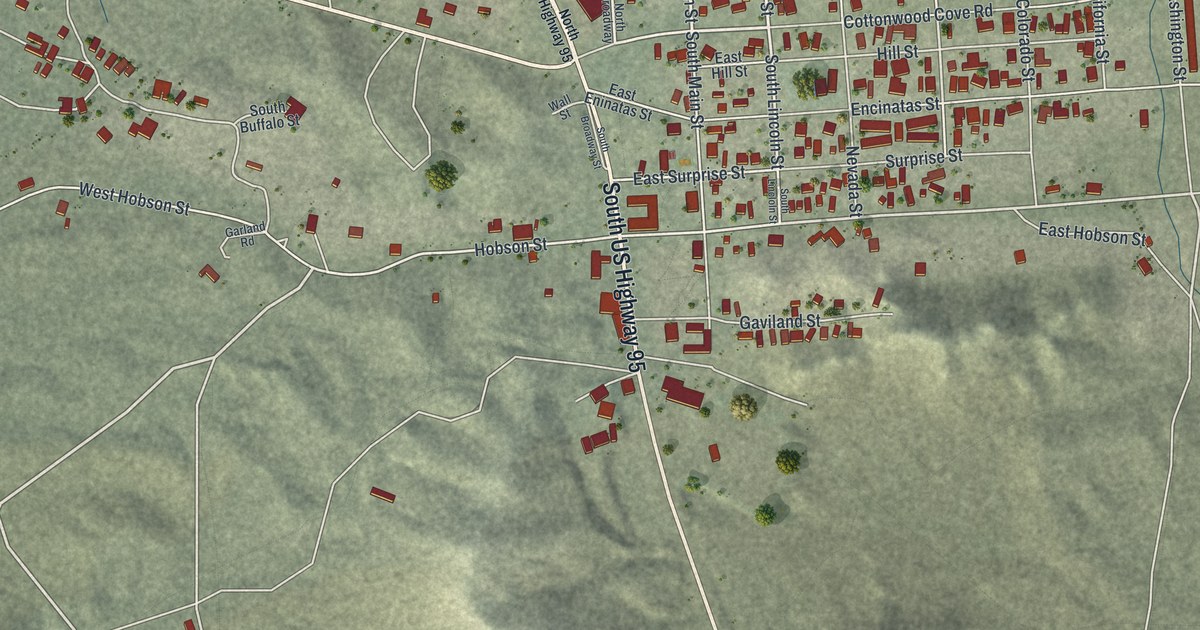
A detailed map of Searchlight, Nevada, showing every building in its true location, the roads by name, and shaded topographical relief.
Read More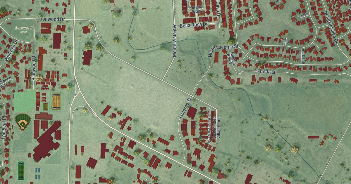
A detailed map of Minden, Nevada, showing every building in its true location, the roads by name, and shaded topographical relief.
Read More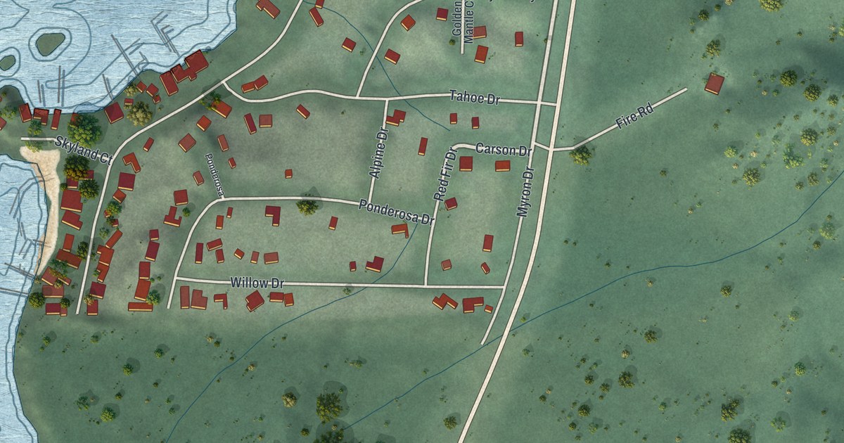
A detailed map of Skyland, Nevada, showing every building in its true location, the roads by name, and shaded topographical relief.
Read More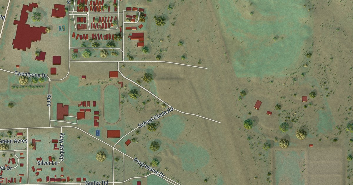
A detailed map of Jackpot, Nevada, showing every building in its true location, the roads by name, and shaded topographical relief.
Read More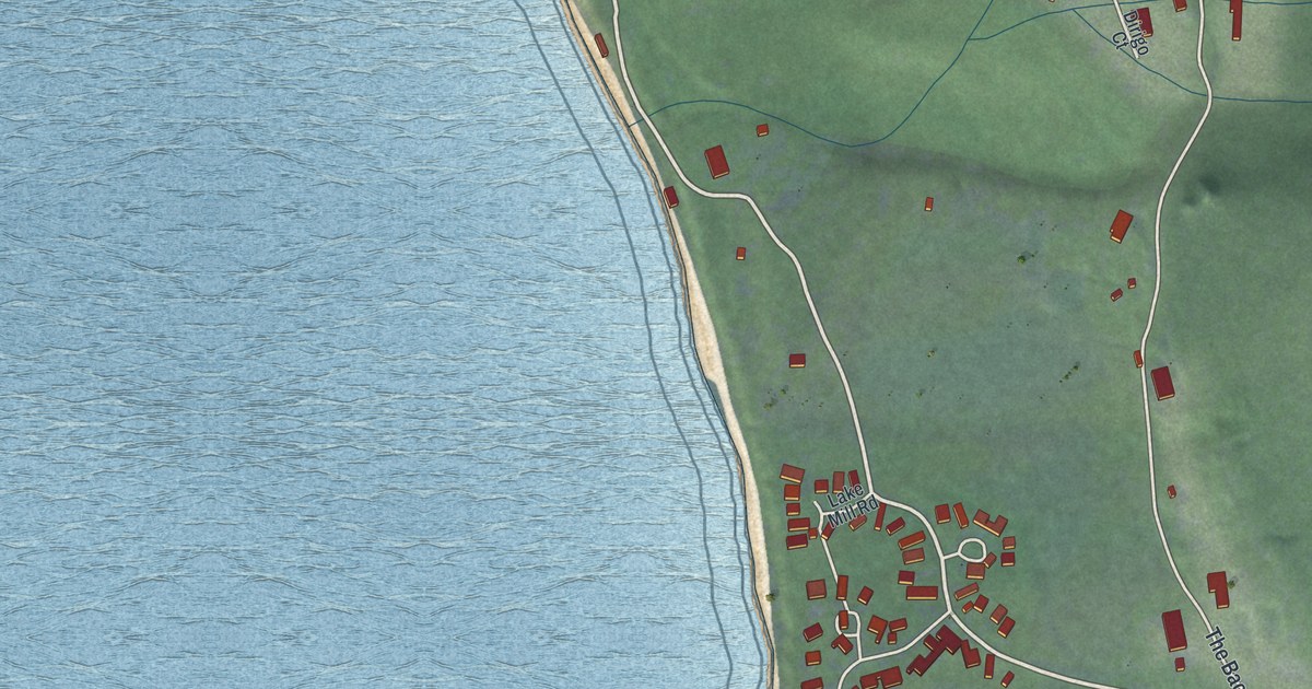
A detailed map of Glenbrook, Nevada, showing every building in its true location, the roads by name, and shaded topographical relief.
Read More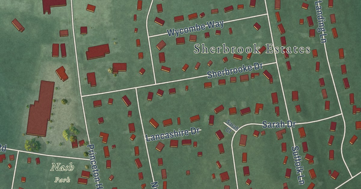
A detailed map of Princeton Junction, New Jersey, showing every building in its true location, the roads by name, and shaded topographical relief.
Read More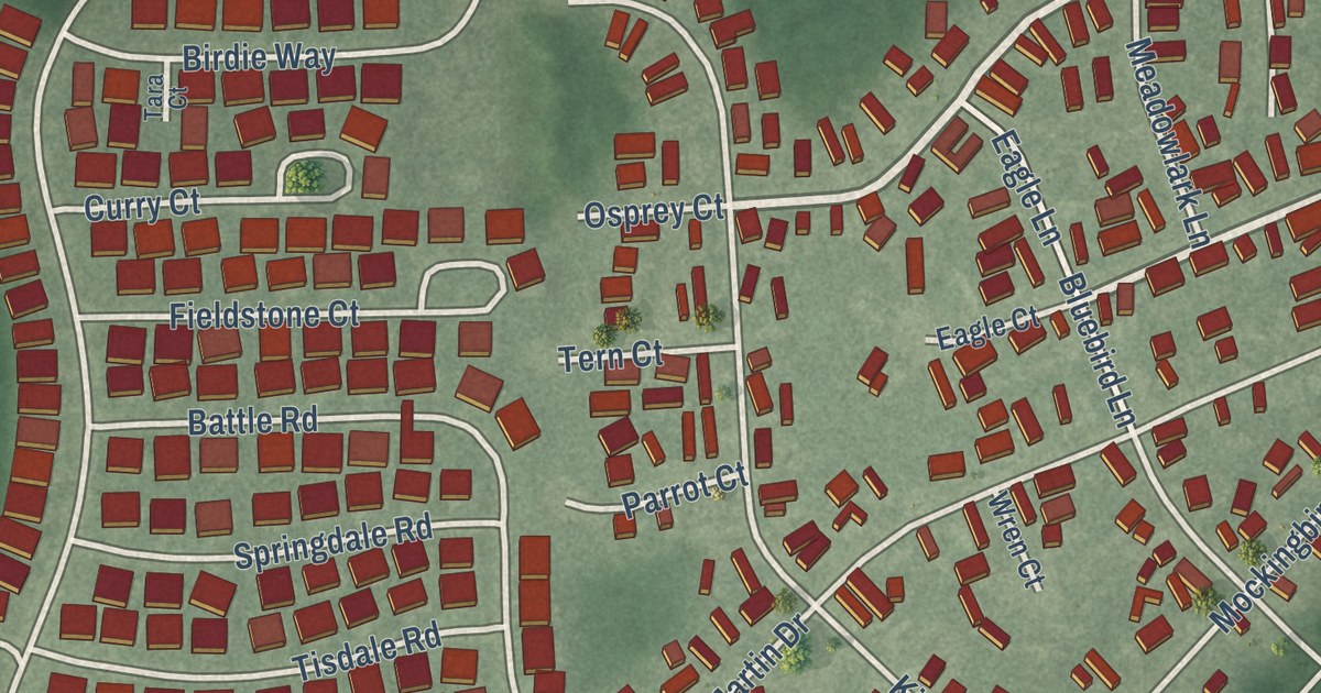
A detailed map of Pine Ridge at Crestwood, New Jersey, showing every building in its true location, the roads by name, and shaded topographical relief.
Read More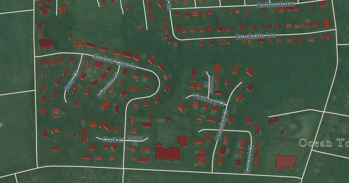
A detailed map of Oakhurst, New Jersey, showing every building in its true location, the roads by name, and shaded topographical relief.
Read More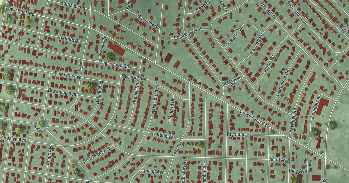
A detailed map of North Cape May, New Jersey, showing every building in its true location, the roads by name, and shaded topographical relief.
Read More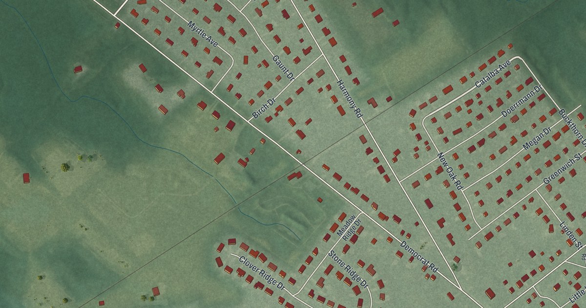
A detailed map of Mickleton, New Jersey, showing every building in its true location, the roads by name, and shaded topographical relief.
Read More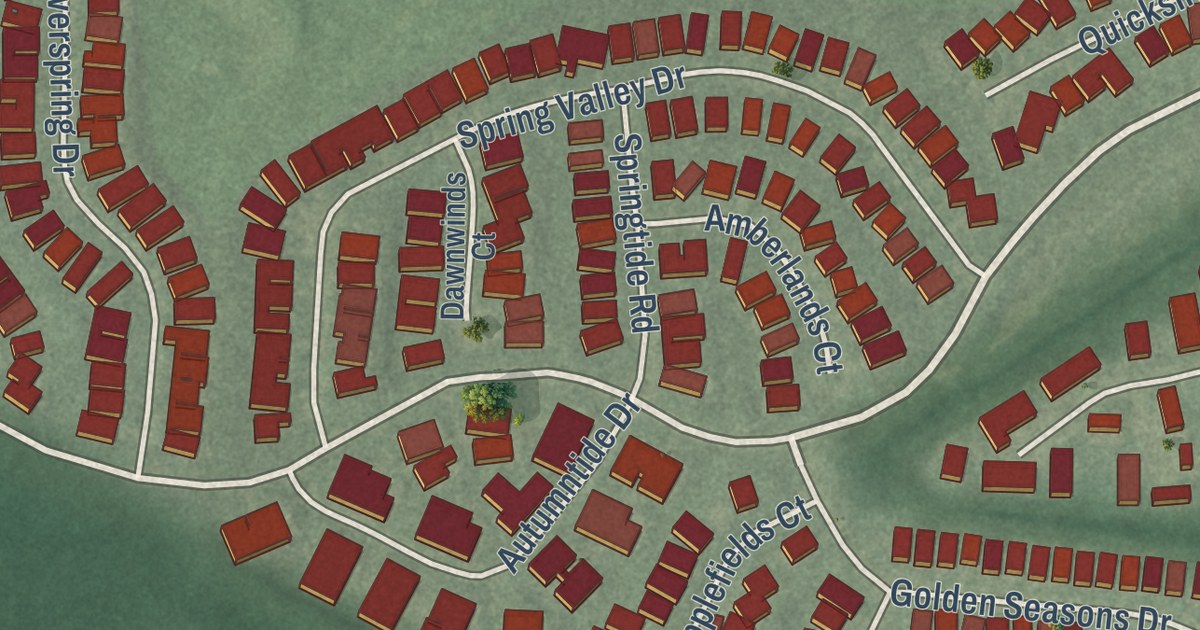
A detailed map of Leisure Village East, New Jersey, showing every building in its true location, the roads by name, and shaded topographical relief.
Read More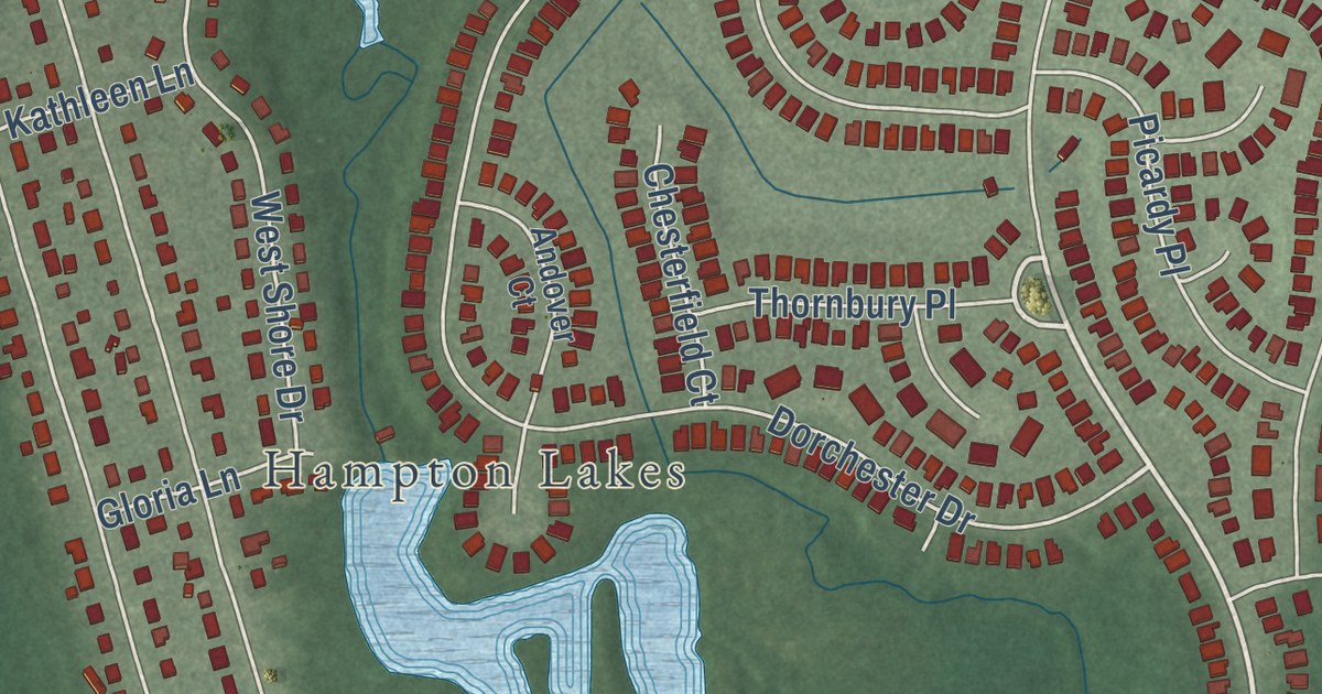
A detailed map of Leisuretowne, New Jersey, showing every building in its true location, the roads by name, and shaded topographical relief.
Read More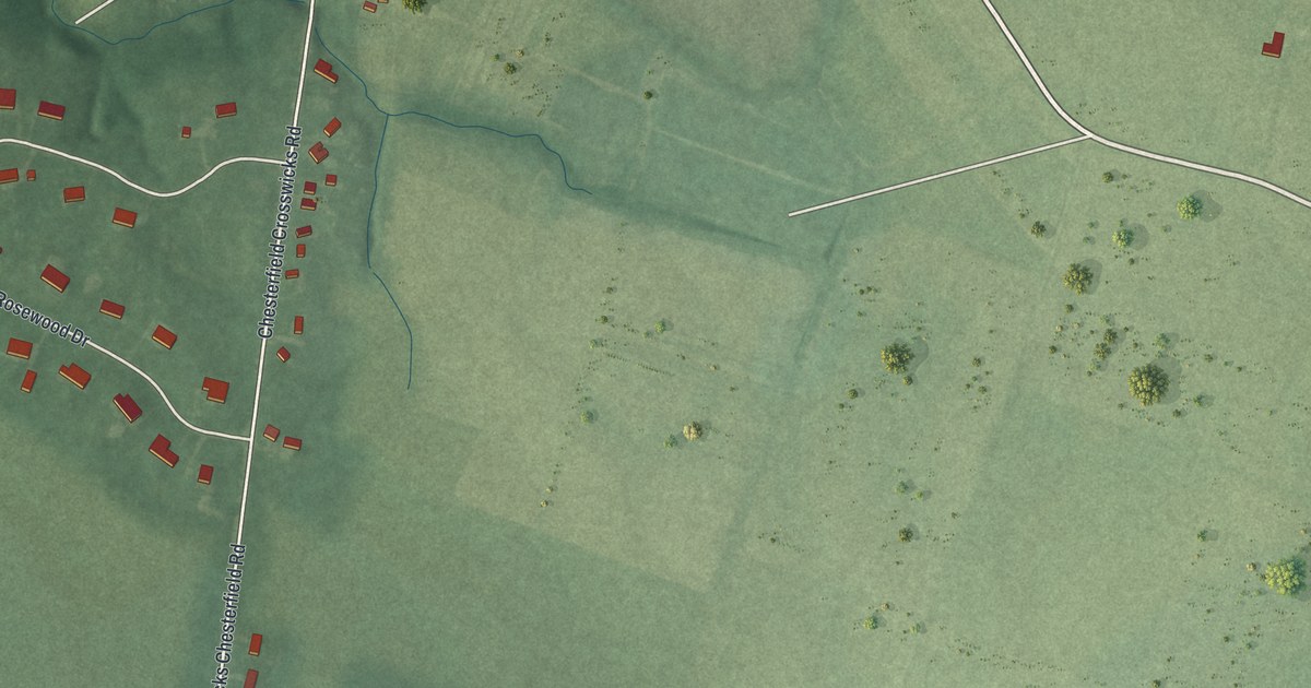
A detailed map of Crosswicks, New Jersey, showing every building in its true location, the roads by name, and shaded topographical relief.
Read More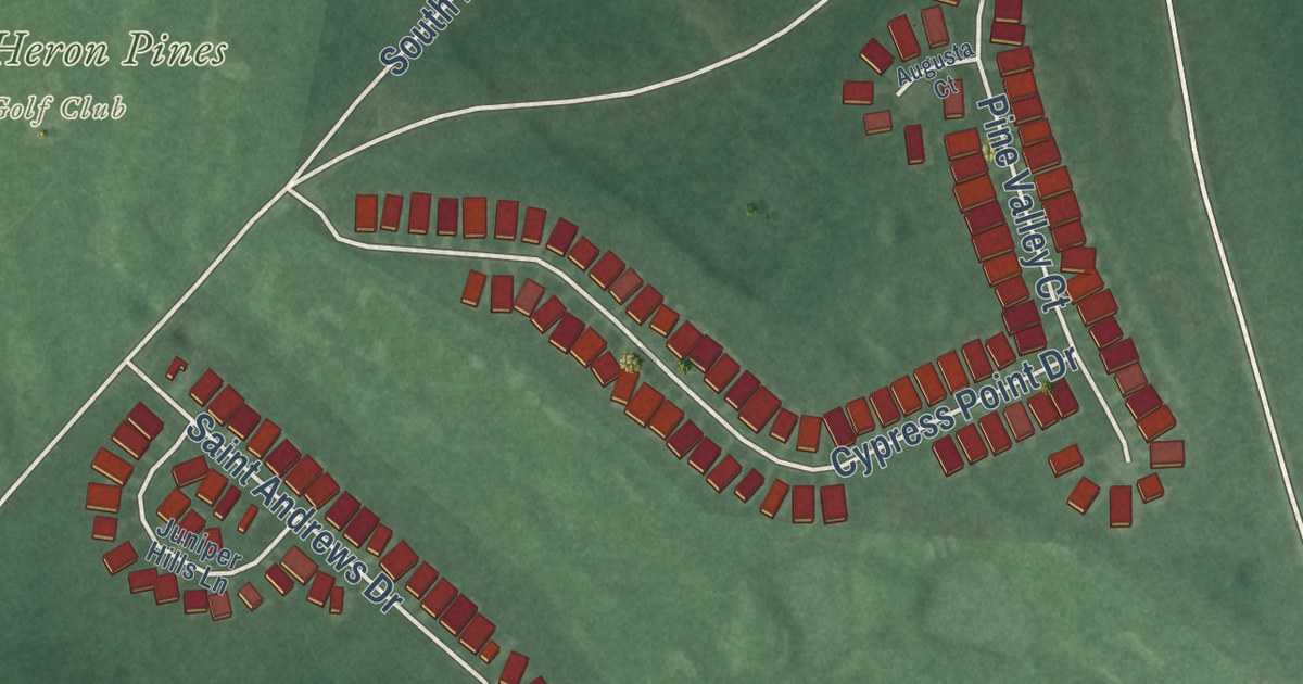
A detailed map of Cologne, New Jersey, showing every building in its true location, the roads by name, and shaded topographical relief.
Read More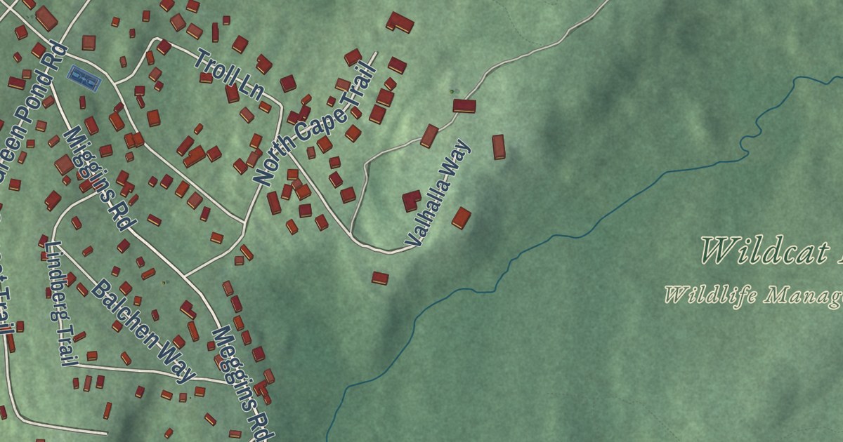
A detailed map of Lake Telemark, New Jersey, showing every building in its true location, the roads by name, and shaded topographical relief.
Read More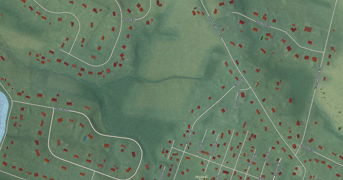
A detailed map of Flagtown, New Jersey, showing every building in its true location, the roads by name, and shaded topographical relief.
Read More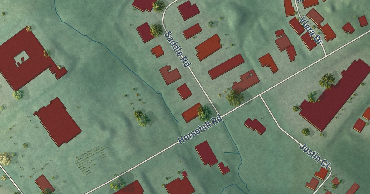
A detailed map of Cedar Knolls, New Jersey, showing every building in its true location, the roads by name, and shaded topographical relief.
Read More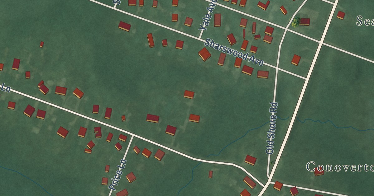
A detailed map of Absecon Highlands, New Jersey, showing every building in its true location, the roads by name, and shaded topographical relief.
Read More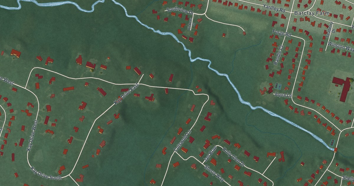
A detailed map of Barclay, New Jersey, showing every building in its true location, the roads by name, and shaded topographical relief.
Read More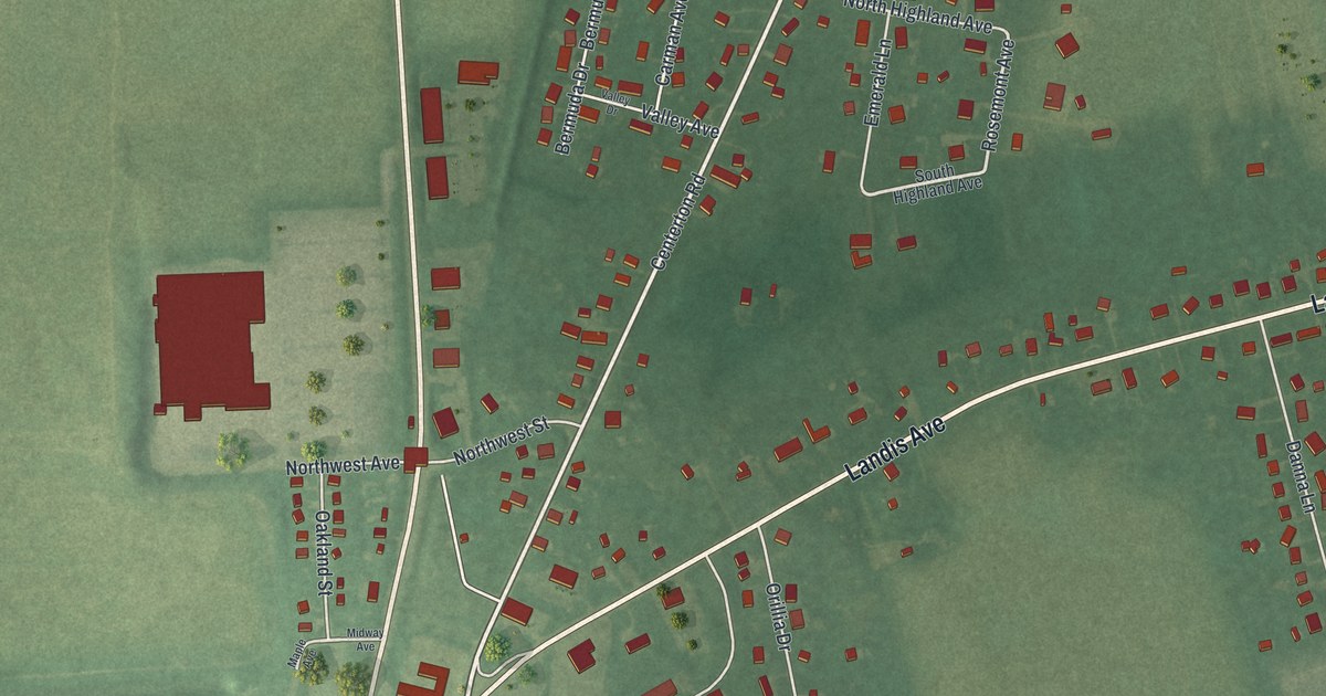
A detailed map of Carlls Corner, New Jersey, showing every building in its true location, the roads by name, and shaded topographical relief.
Read More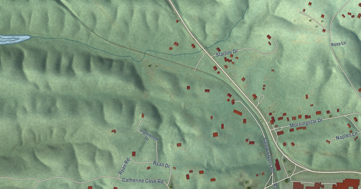
A detailed map of Jones Mills, Arkansas, showing every building in its true location, the roads by name, and shaded topographical relief.
Read More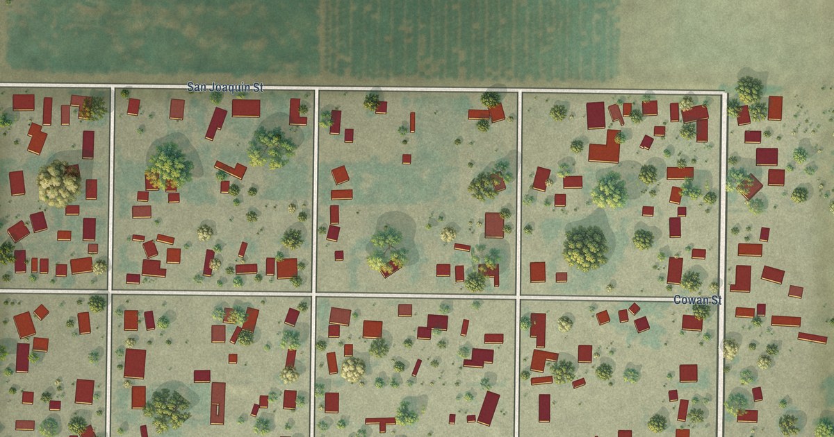
A detailed map of Cowan, California, showing every building in its true location, the roads by name, and shaded topographical relief.
Read More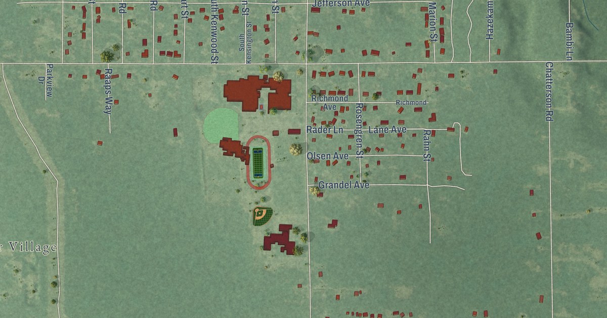
A detailed map of Wolf Lake, Michigan, showing every building in its true location, the roads by name, and shaded topographical relief.
Read More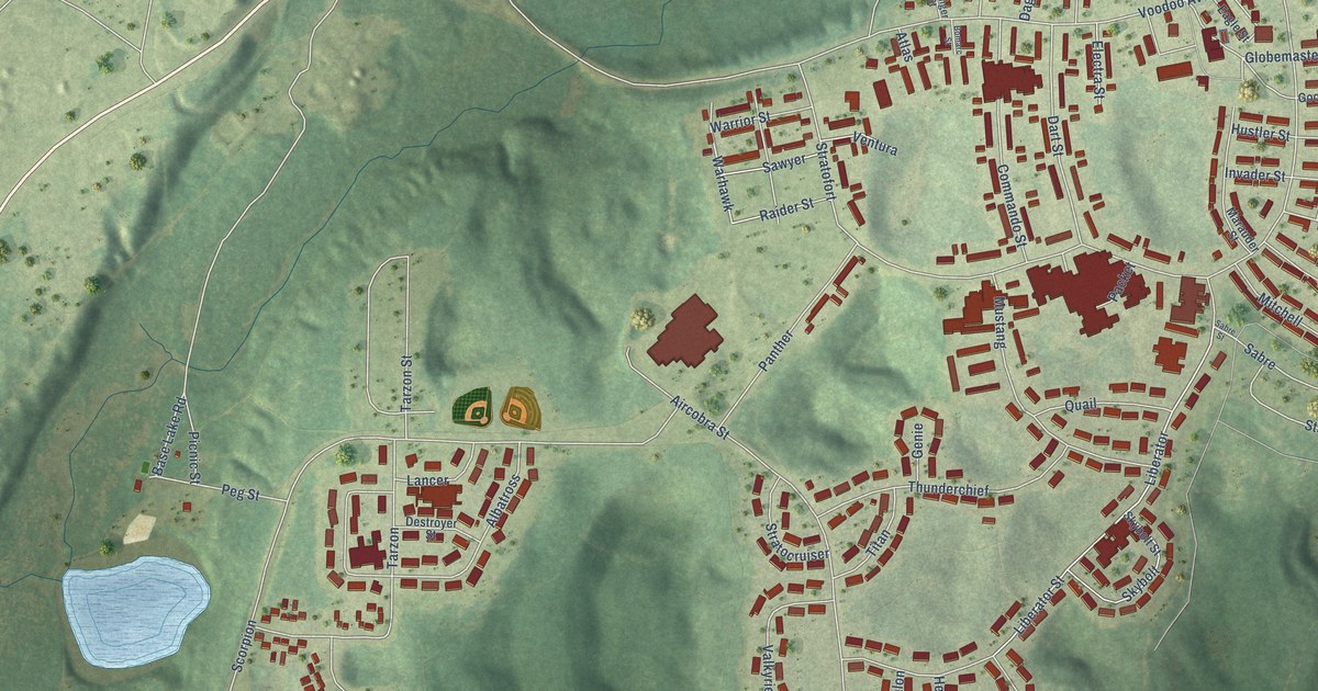
A detailed map of K. I. Sawyer, Michigan, showing every building in its true location, the roads by name, and shaded topographical relief.
Read More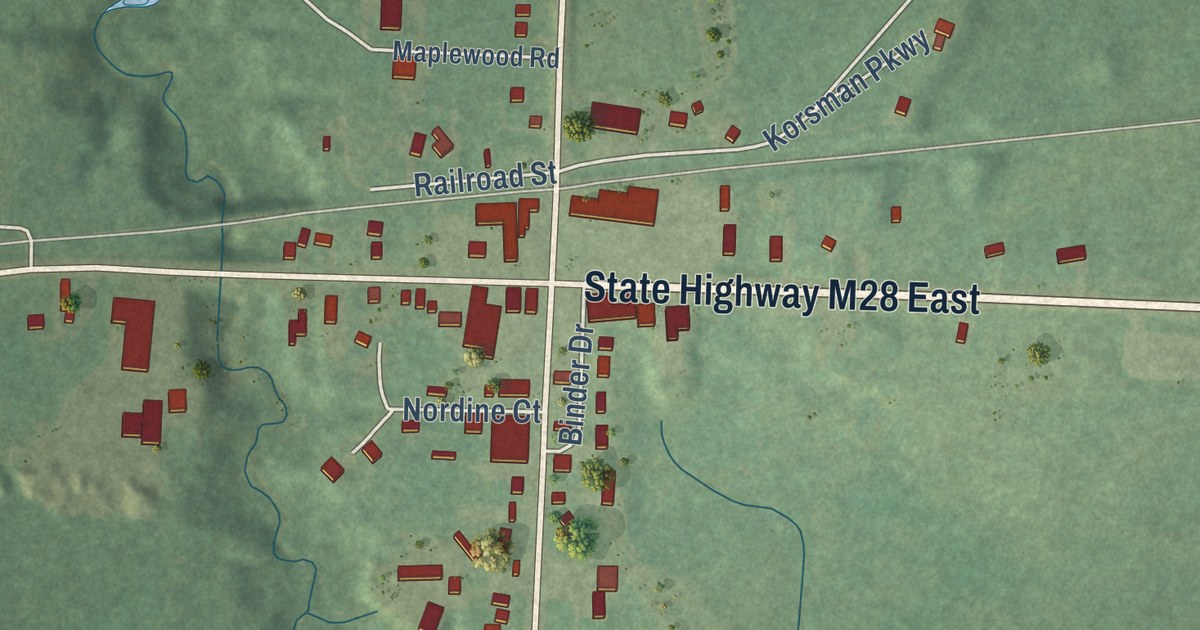
A detailed map of Bruce Crossing, Michigan, showing every building in its true location, the roads by name, and shaded topographical relief.
Read More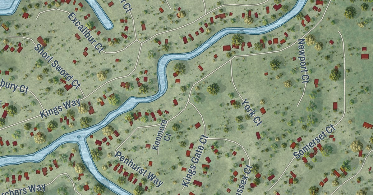
A detailed map of Lake Camelot, Wisconsin, showing every building in its true location, the roads by name, and shaded topographical relief.
Read More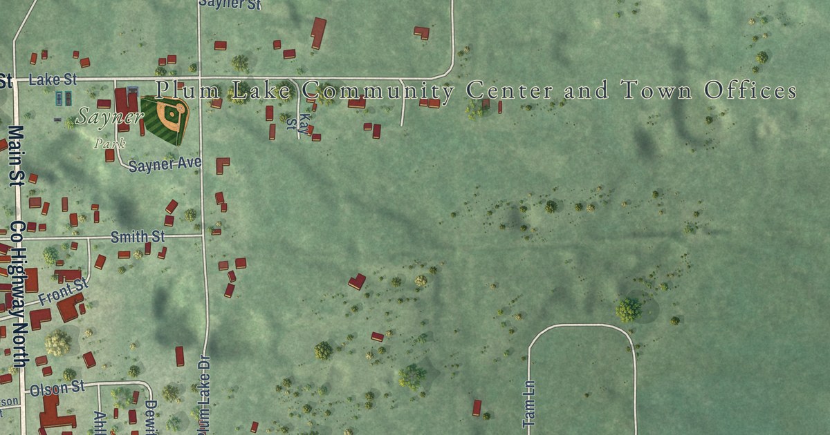
A detailed map of Sayner, Wisconsin, showing every building in its true location, the roads by name, and shaded topographical relief.
Read More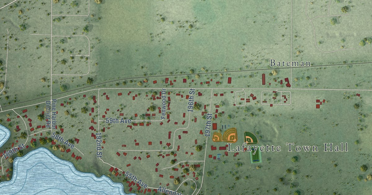
A detailed map of Lake Wissota, Wisconsin, showing every building in its true location, the roads by name, and shaded topographical relief.
Read More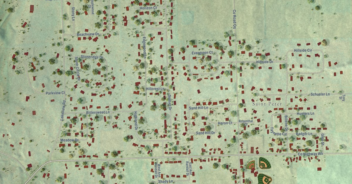
A detailed map of St. Peter, Wisconsin, showing every building in its true location, the roads by name, and shaded topographical relief.
Read More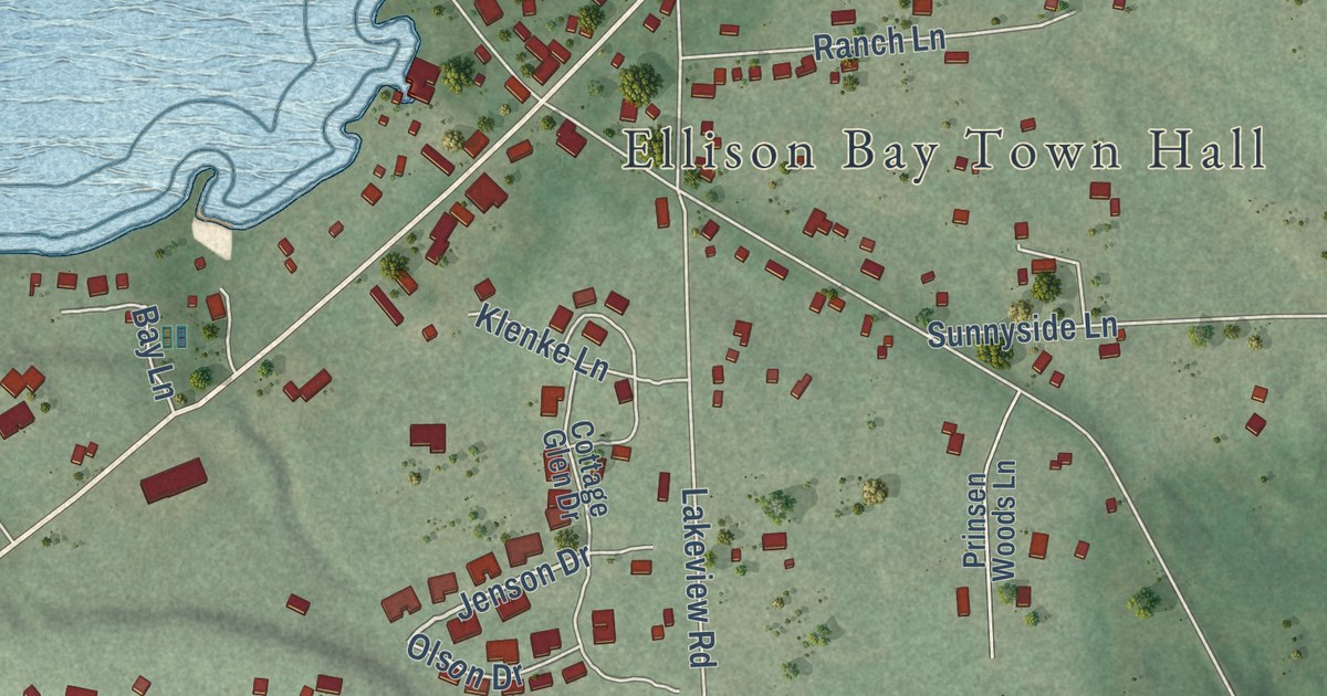
A detailed map of Ellison Bay, Wisconsin, showing every building in its true location, the roads by name, and shaded topographical relief.
Read More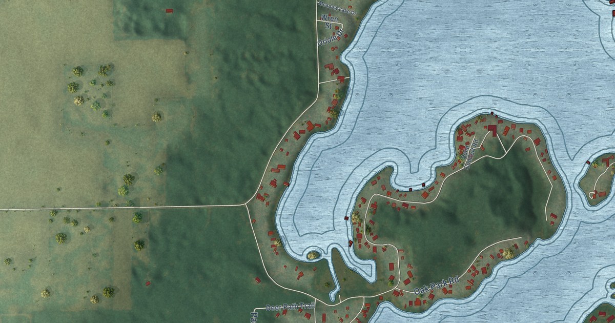
A detailed map of Lauderdale Lakes, Wisconsin, showing every building in its true location, the roads by name, and shaded topographical relief.
Read More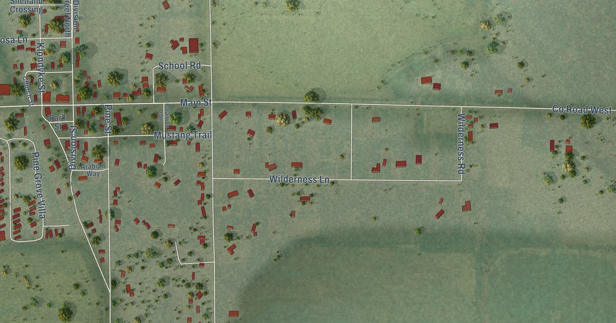
A detailed map of Bancroft, Wisconsin, showing every building in its true location, the roads by name, and shaded topographical relief.
Read More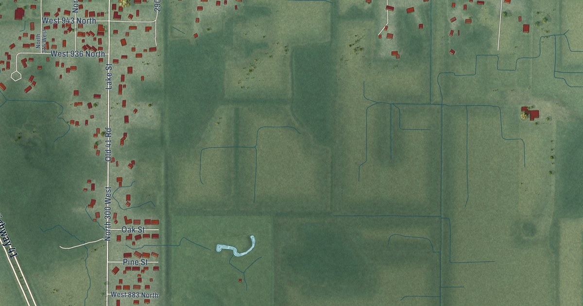
A detailed map of Lake Village, Indiana, showing every building in its true location, the roads by name, and shaded topographical relief.
Read More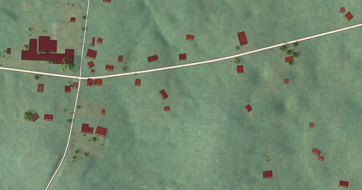
A detailed map of Tuckers Crossroads, Tennessee, showing every building in its true location, the roads by name, and shaded topographical relief.
Read More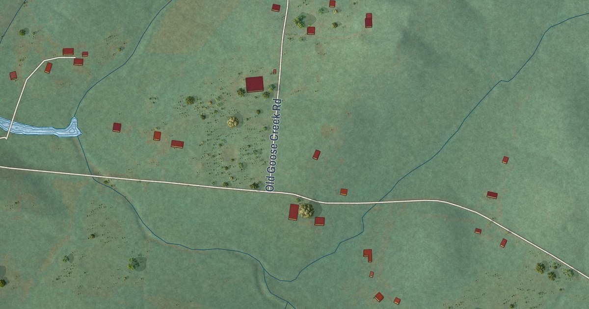
A detailed map of Greenvale, Tennessee, showing every building in its true location, the roads by name, and shaded topographical relief.
Read More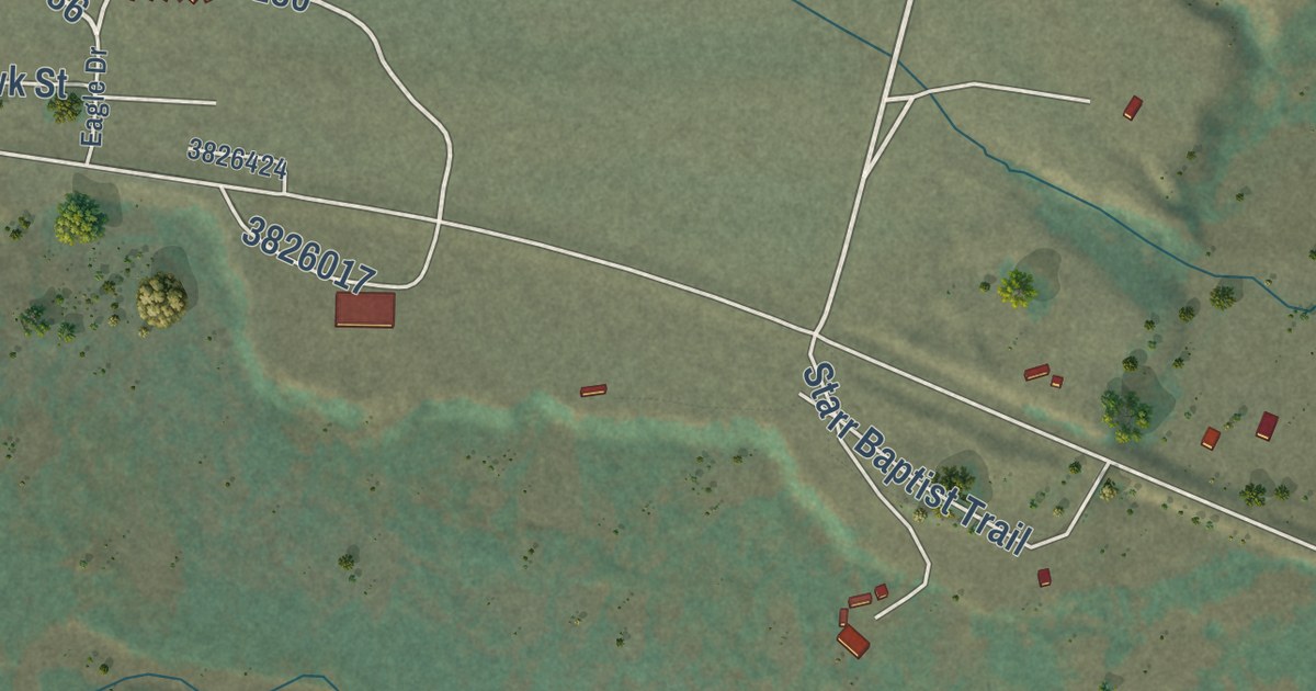
A detailed map of Starr School, Montana, showing every building in its true location, the roads by name, and shaded topographical relief.
Read More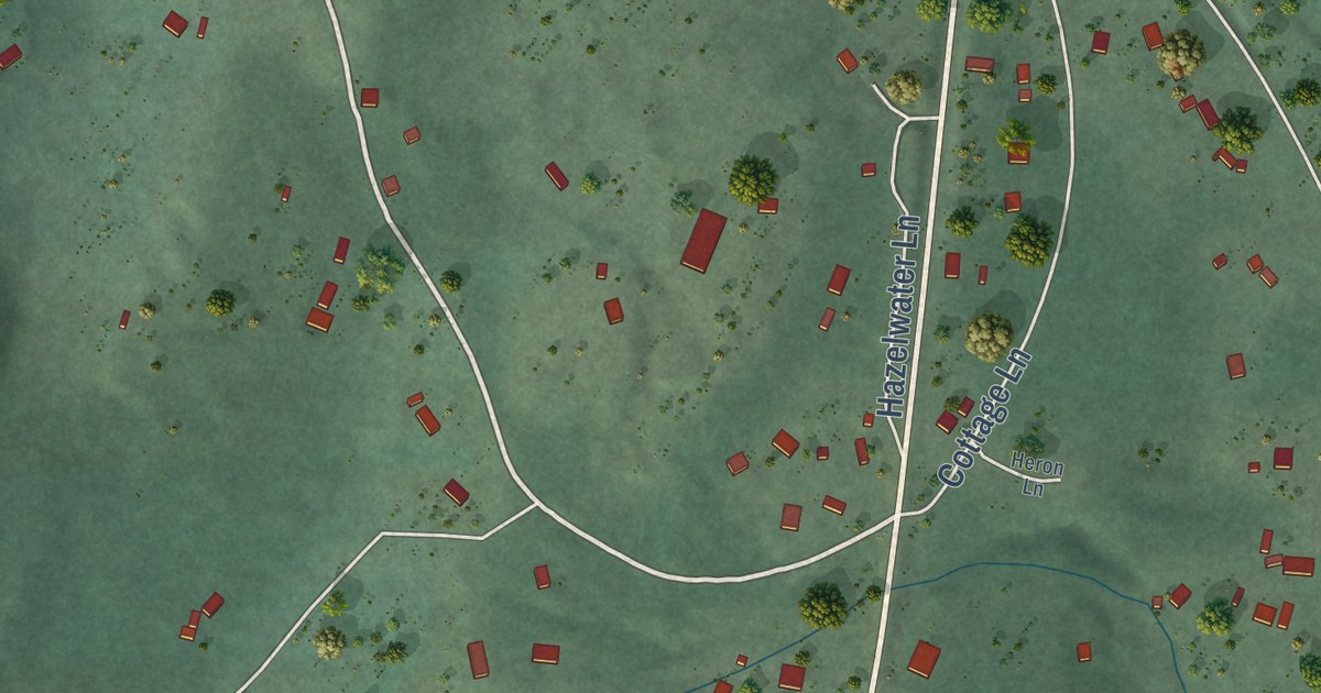
A detailed map of Kila, Montana, showing every building in its true location, the roads by name, and shaded topographical relief.
Read More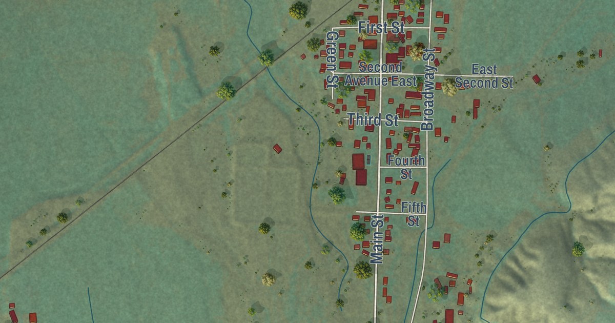
A detailed map of Willow Creek, Montana, showing every building in its true location, the roads by name, and shaded topographical relief.
Read More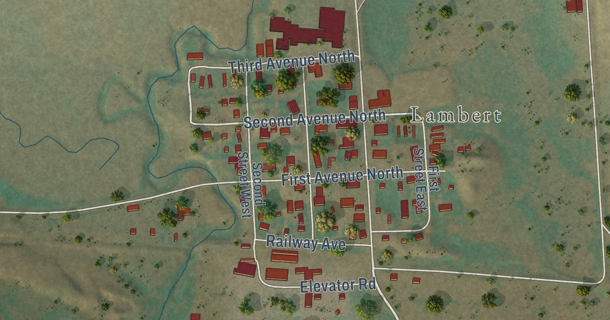
A detailed map of Fox Lake, Montana, showing every building in its true location, the roads by name, and shaded topographical relief.
Read More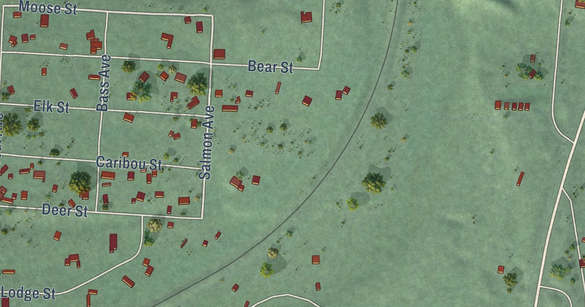
A detailed map of Coram, Montana, showing every building in its true location, the roads by name, and shaded topographical relief.
Read More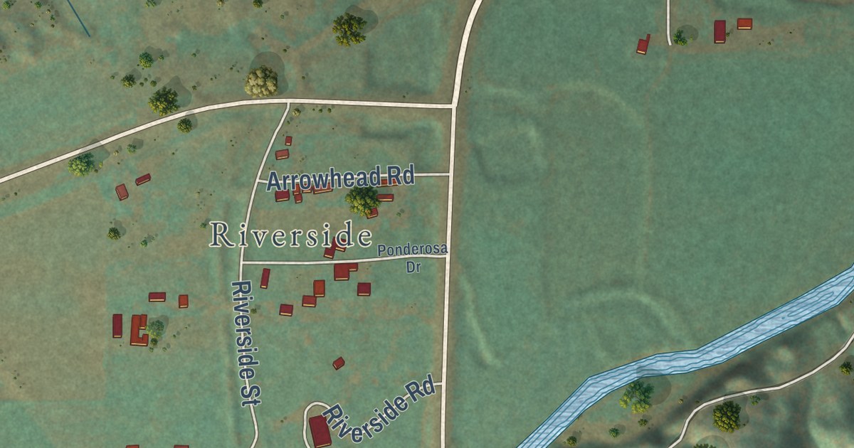
A detailed map of Camp Three, Montana, showing every building in its true location, the roads by name, and shaded topographical relief.
Read More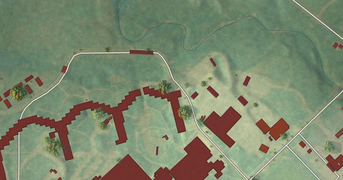
A detailed map of Watchtower, New York, showing every building in its true location, the roads by name, and shaded topographical relief.
Read More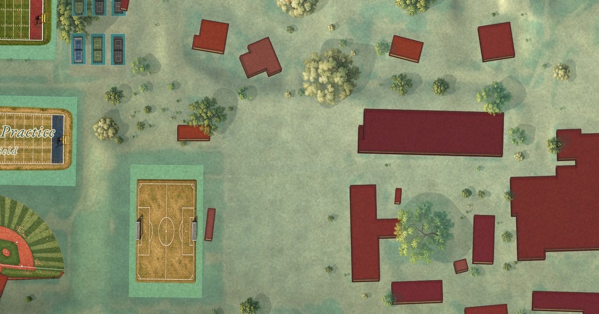
A detailed map of Nazareth College, New York, showing every building in its true location, the roads by name, and shaded topographical relief.
Read More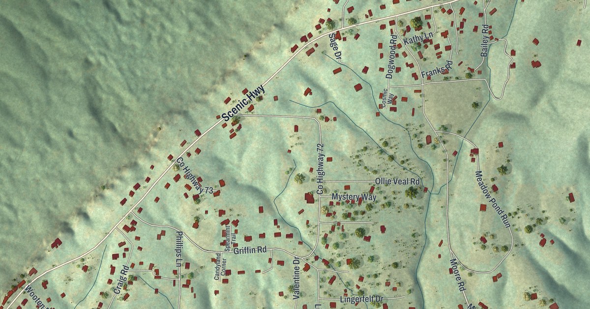
A detailed map of West Brow, Georgia, showing every building in its true location, the roads by name, and shaded topographical relief.
Read More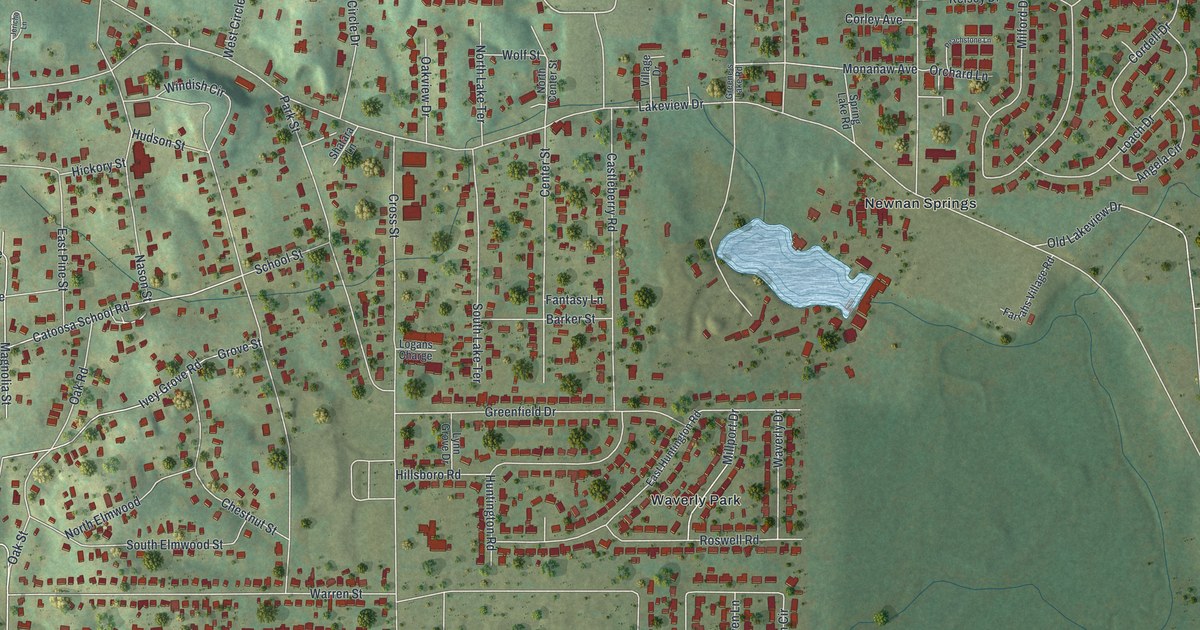
A detailed map of Lakeview, Georgia, showing every building in its true location, the roads by name, and shaded topographical relief.
Read More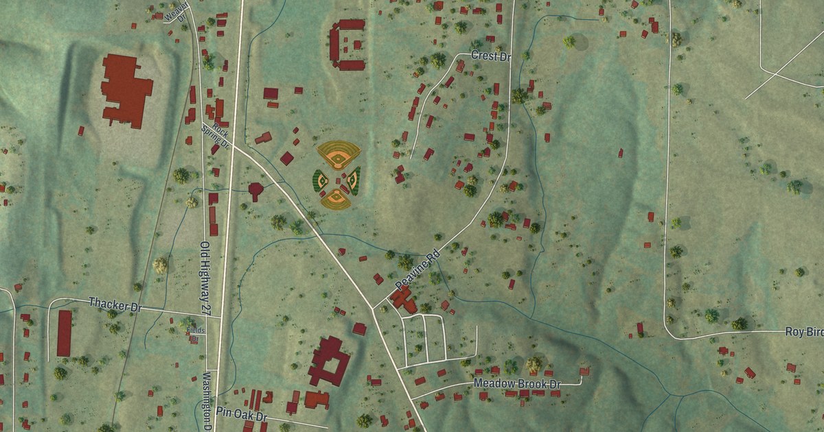
A detailed map of Rock Spring, Georgia, showing every building in its true location, the roads by name, and shaded topographical relief.
Read More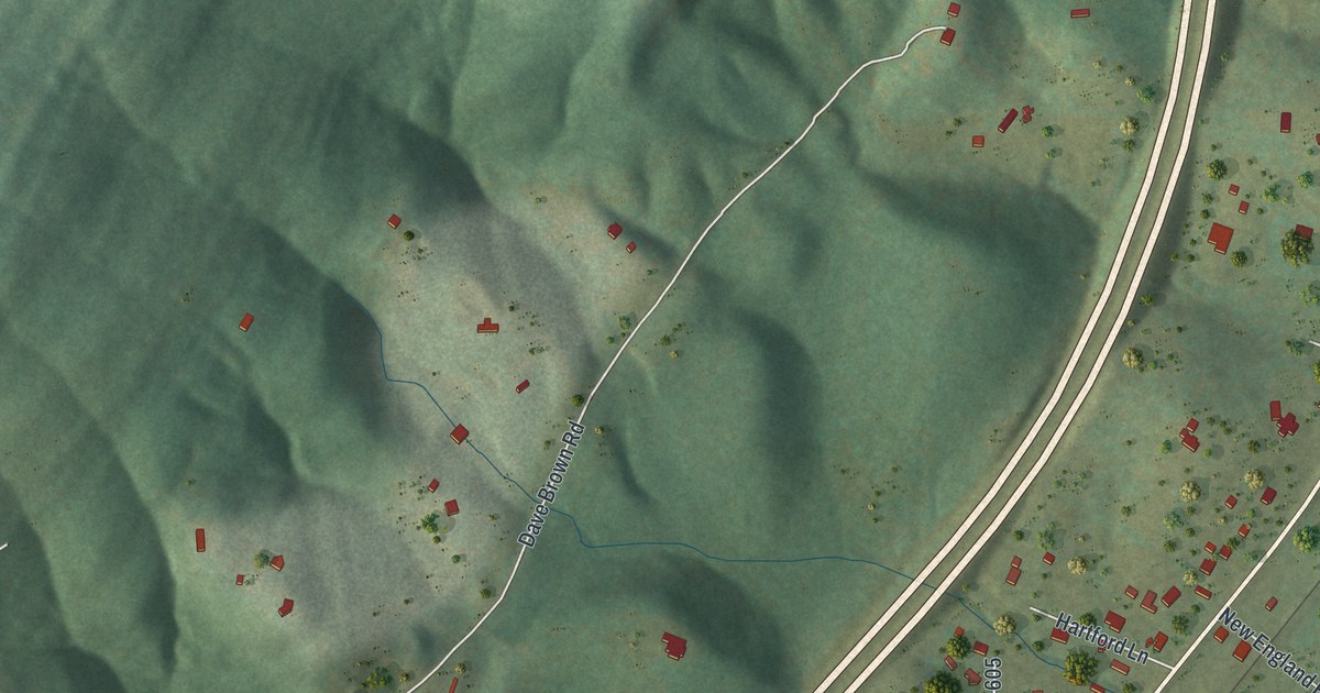
A detailed map of New England, Georgia, showing every building in its true location, the roads by name, and shaded topographical relief.
Read More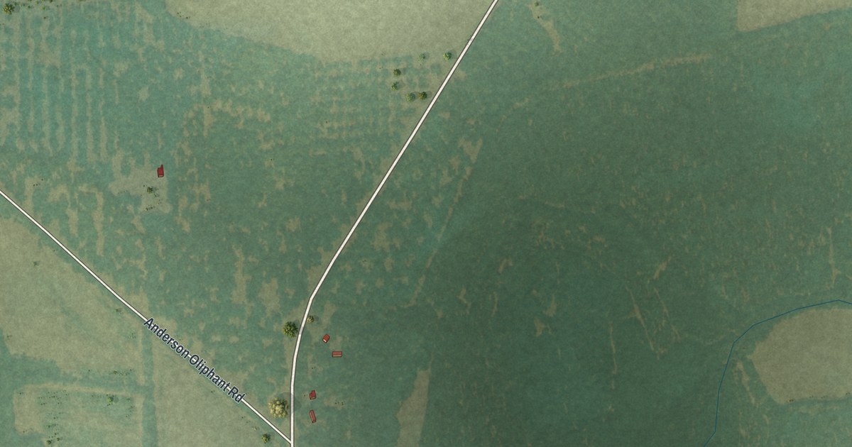
A detailed map of Matthews, Georgia, showing every building in its true location, the roads by name, and shaded topographical relief.
Read More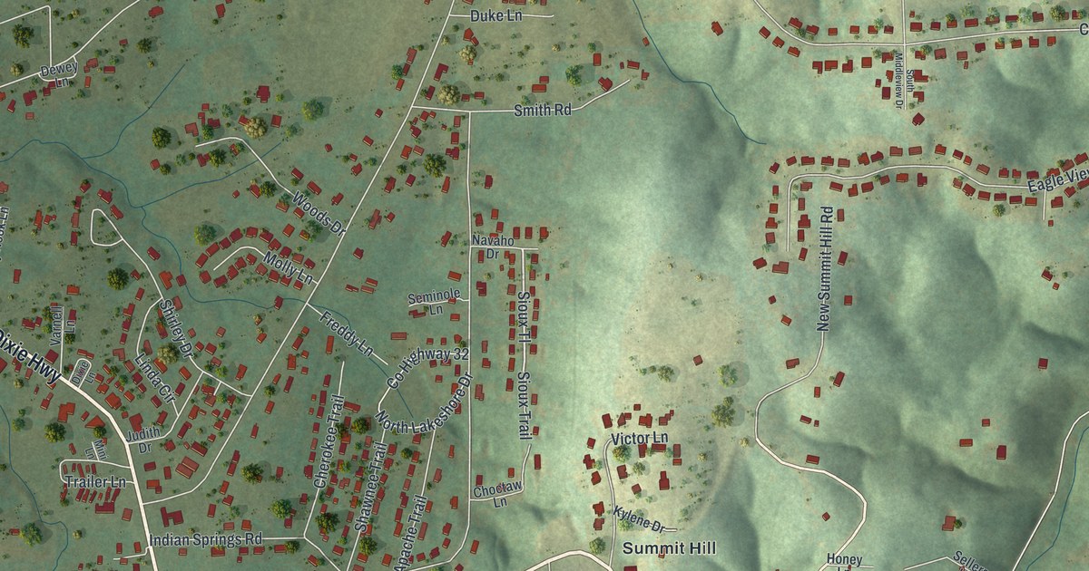
A detailed map of Indian Springs, Georgia, showing every building in its true location, the roads by name, and shaded topographical relief.
Read More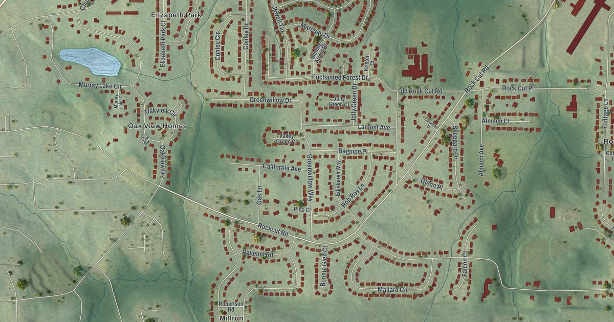
A detailed map of Conley, Georgia, showing every building in its true location, the roads by name, and shaded topographical relief.
Read More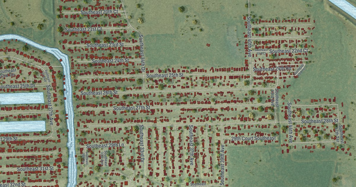
A detailed map of Taylor Creek, Florida, showing every building in its true location, the roads by name, and shaded topographical relief.
Read More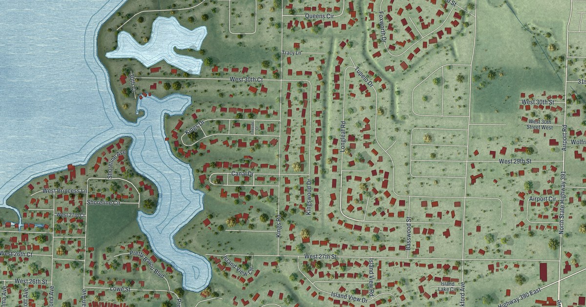
A detailed map of Pretty Bayou, Florida, showing every building in its true location, the roads by name, and shaded topographical relief.
Read More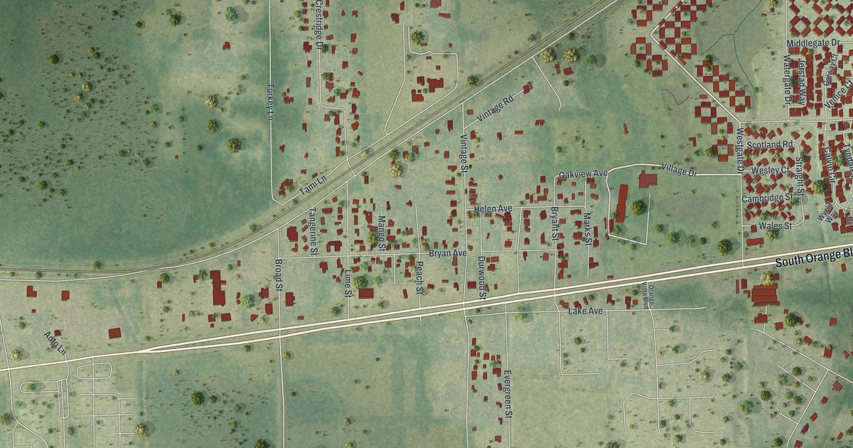
A detailed map of Campbell, Florida, showing every building in its true location, the roads by name, and shaded topographical relief.
Read More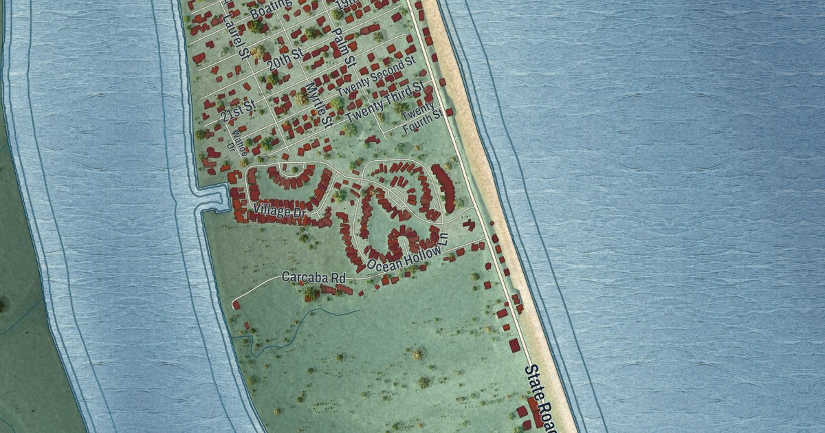
A detailed map of Vilano Beach, Florida, showing every building in its true location, the roads by name, and shaded topographical relief.
Read More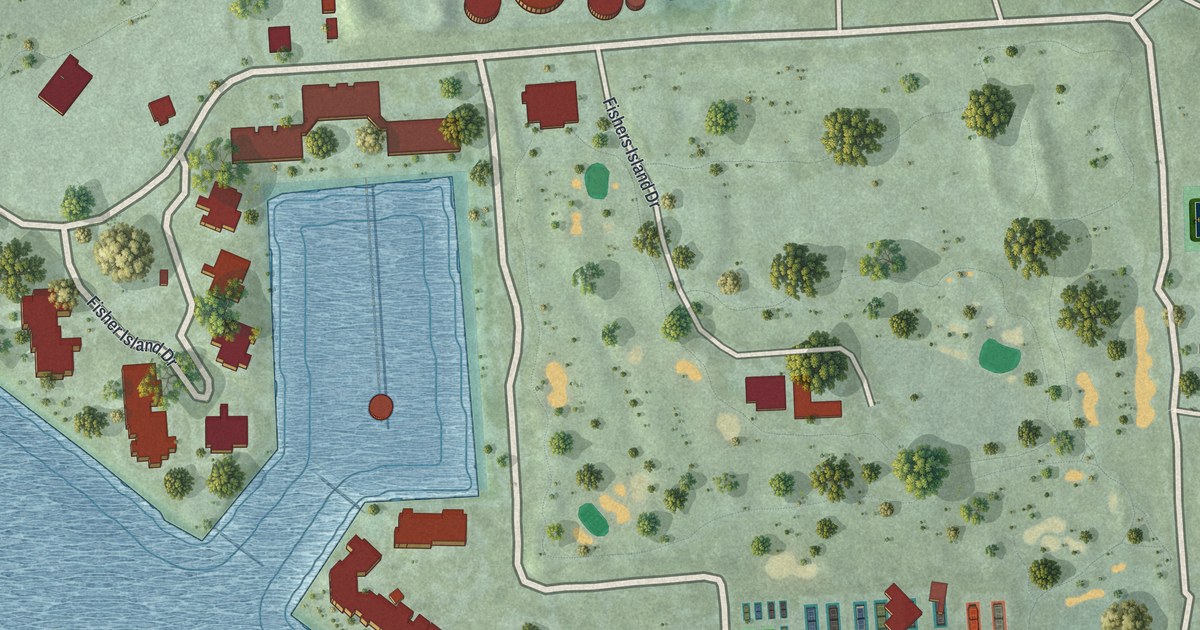
A detailed map of Fisher Island, Florida, showing every building in its true location, the roads by name, and shaded topographical relief.
Read More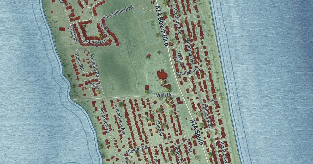
A detailed map of Butler Beach, Florida, showing every building in its true location, the roads by name, and shaded topographical relief.
Read More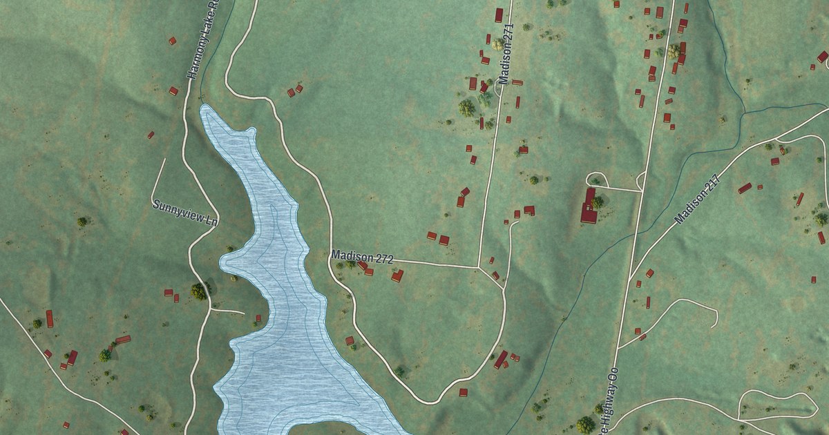
A detailed map of Mine La Motte, Missouri, showing every building in its true location, the roads by name, and shaded topographical relief.
Read More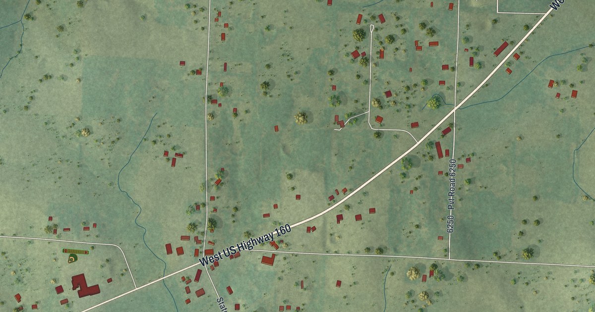
A detailed map of South Fork, Missouri, showing every building in its true location, the roads by name, and shaded topographical relief.
Read More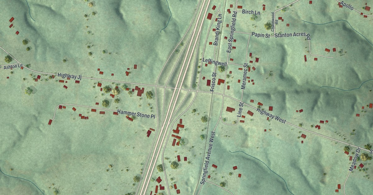
A detailed map of Stanton, Missouri, showing every building in its true location, the roads by name, and shaded topographical relief.
Read More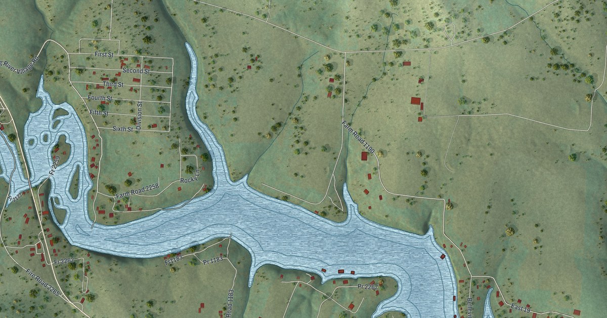
A detailed map of Eagle Rock, Missouri, showing every building in its true location, the roads by name, and shaded topographical relief.
Read More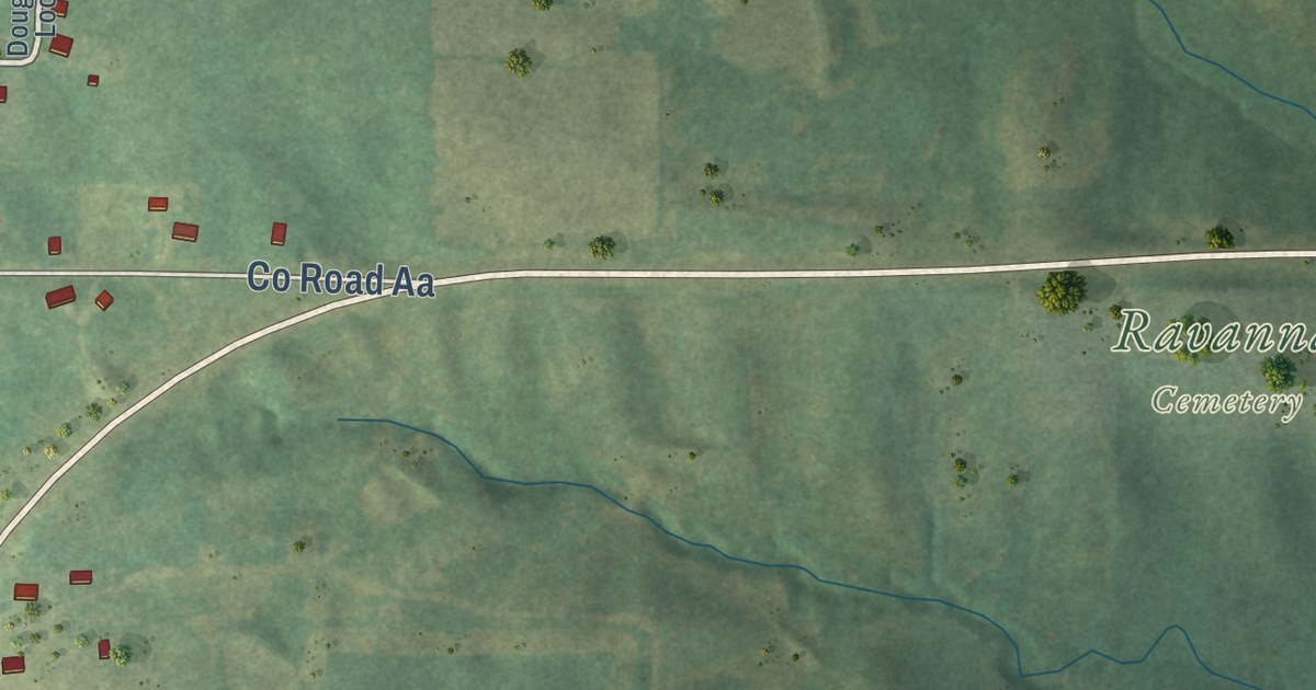
A detailed map of Ravanna, Missouri, showing every building in its true location, the roads by name, and shaded topographical relief.
Read More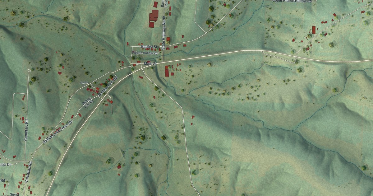
A detailed map of Macks Creek, Missouri, showing every building in its true location, the roads by name, and shaded topographical relief.
Read More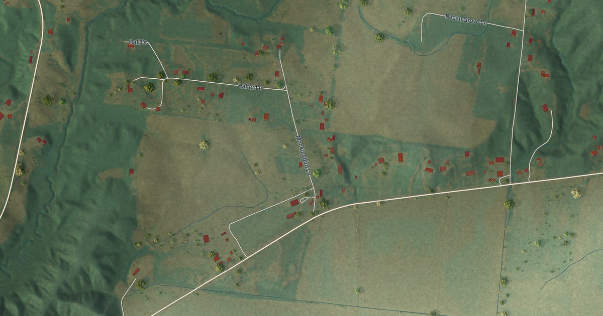
A detailed map of Dutchtown, Missouri, showing every building in its true location, the roads by name, and shaded topographical relief.
Read More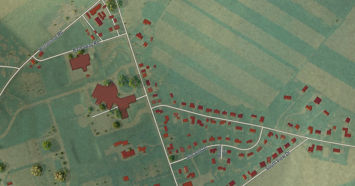
A detailed map of Witmer, Pennsylvania, showing every building in its true location, the roads by name, and shaded topographical relief.
Read More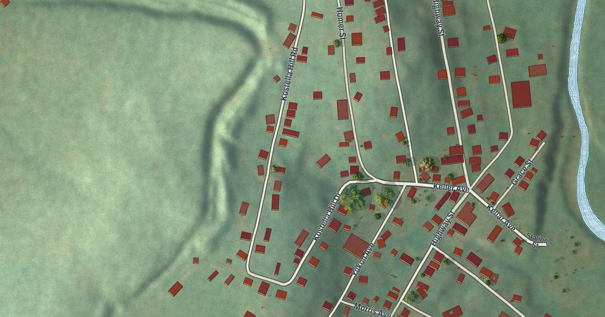
A detailed map of Yukon, Pennsylvania, showing every building in its true location, the roads by name, and shaded topographical relief.
Read More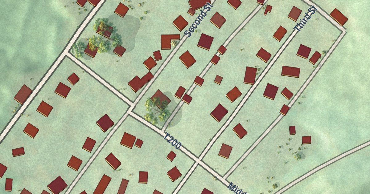
A detailed map of Wilburton Number One, Pennsylvania, showing every building in its true location, the roads by name, and shaded topographical relief.
Read More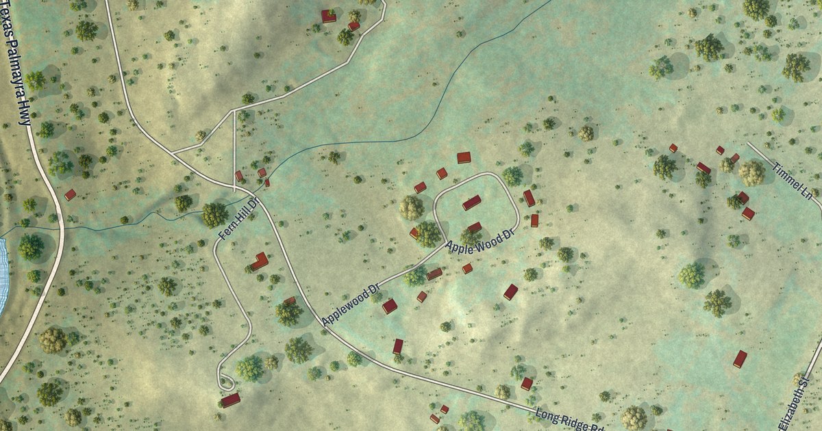
A detailed map of White Mills, Pennsylvania, showing every building in its true location, the roads by name, and shaded topographical relief.
Read More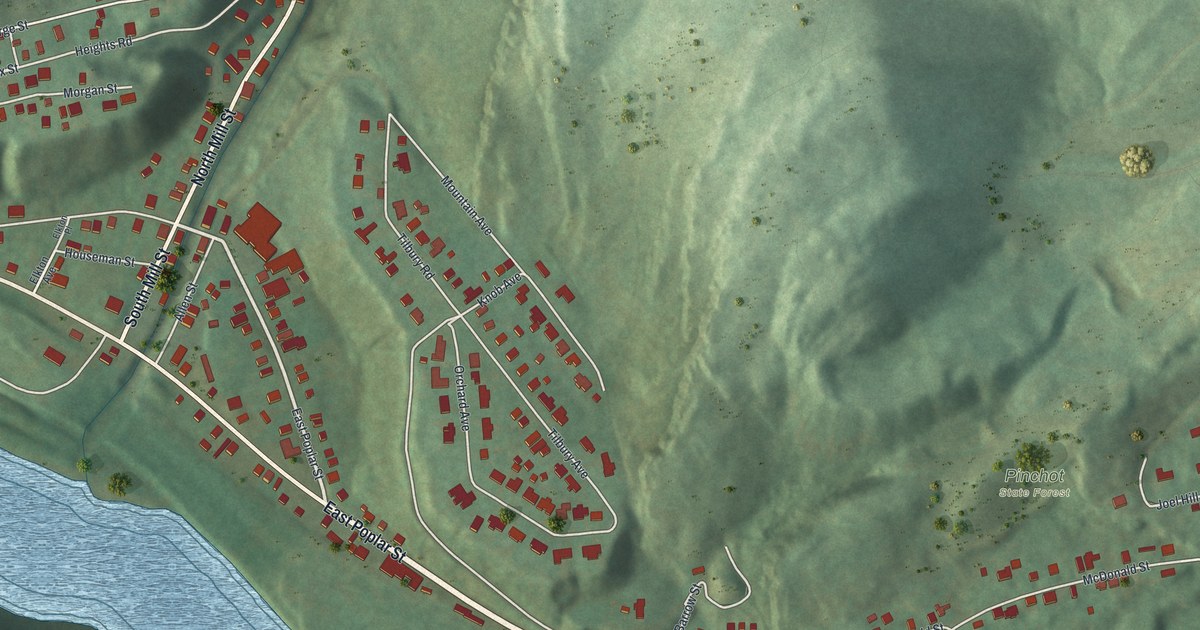
A detailed map of West Nanticoke, Pennsylvania, showing every building in its true location, the roads by name, and shaded topographical relief.
Read More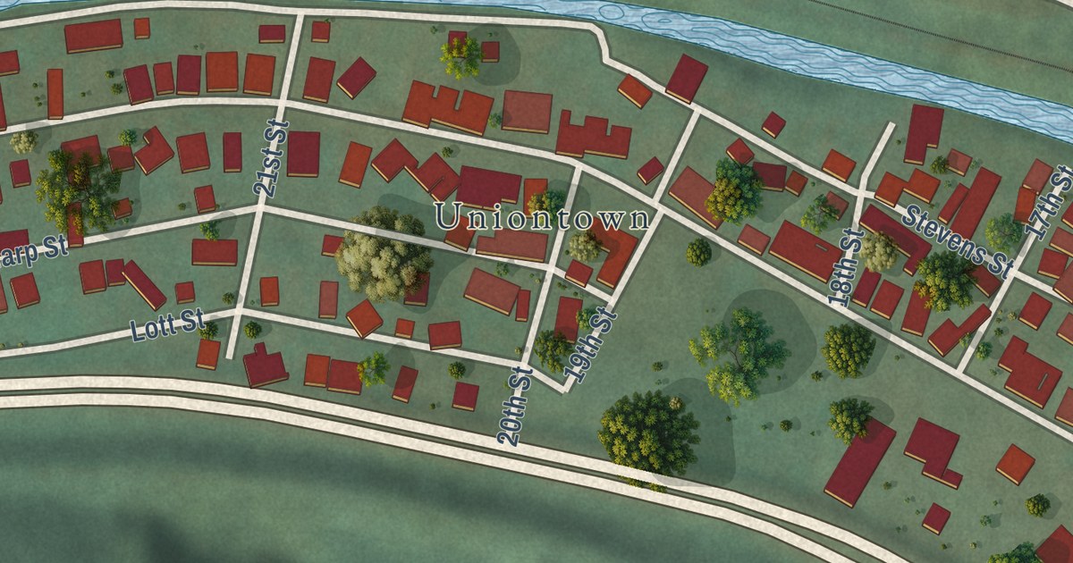
A detailed map of Tharptown (Uniontown), Pennsylvania, showing every building in its true location, the roads by name, and shaded topographical relief.
Read More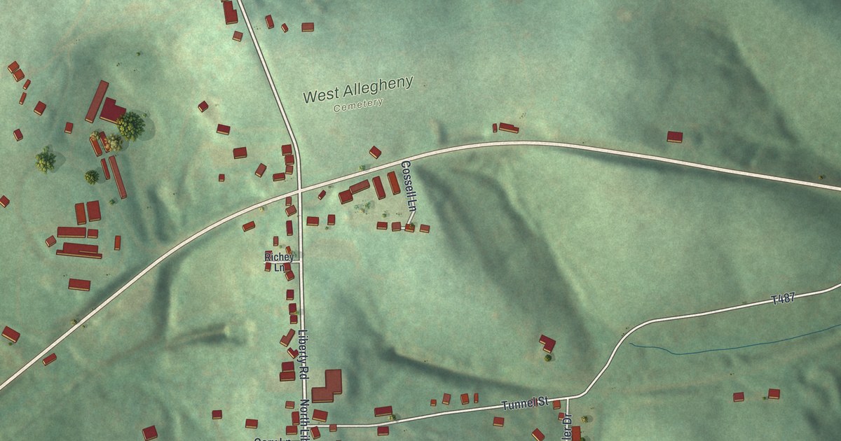
A detailed map of West Alexander, Pennsylvania, showing every building in its true location, the roads by name, and shaded topographical relief.
Read More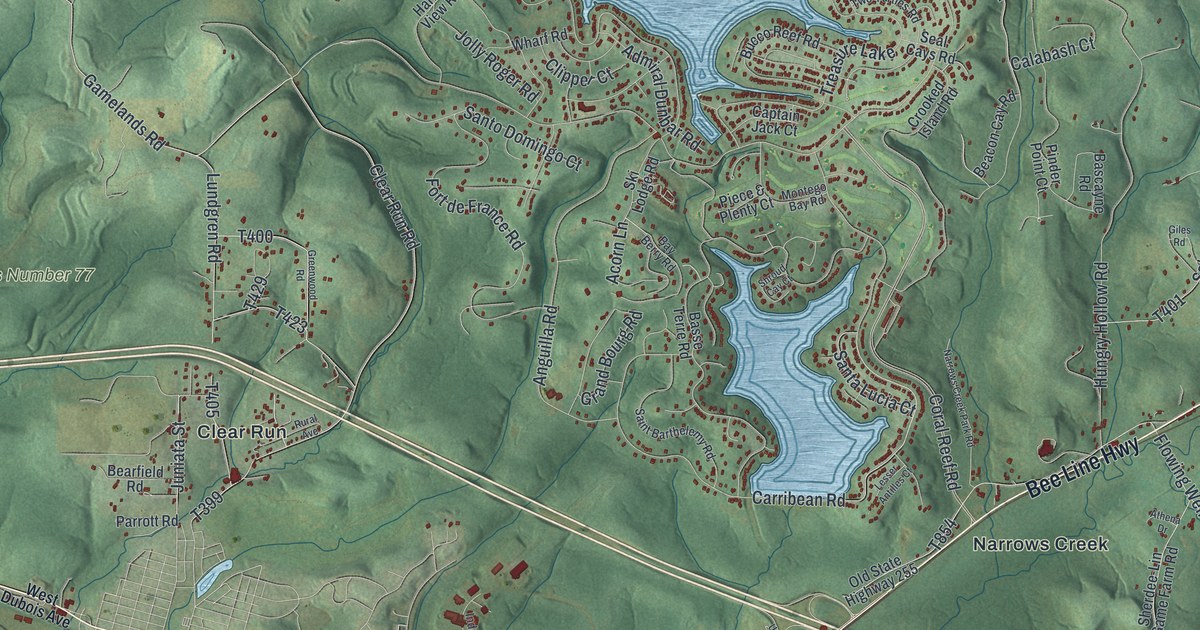
A detailed map of Sandy, Pennsylvania, showing every building in its true location, the roads by name, and shaded topographical relief.
Read More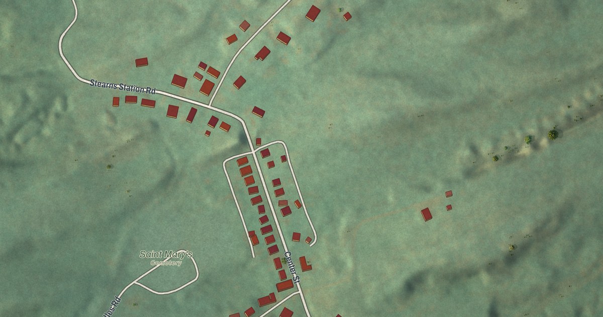
A detailed map of Wanamie, Pennsylvania, showing every building in its true location, the roads by name, and shaded topographical relief.
Read More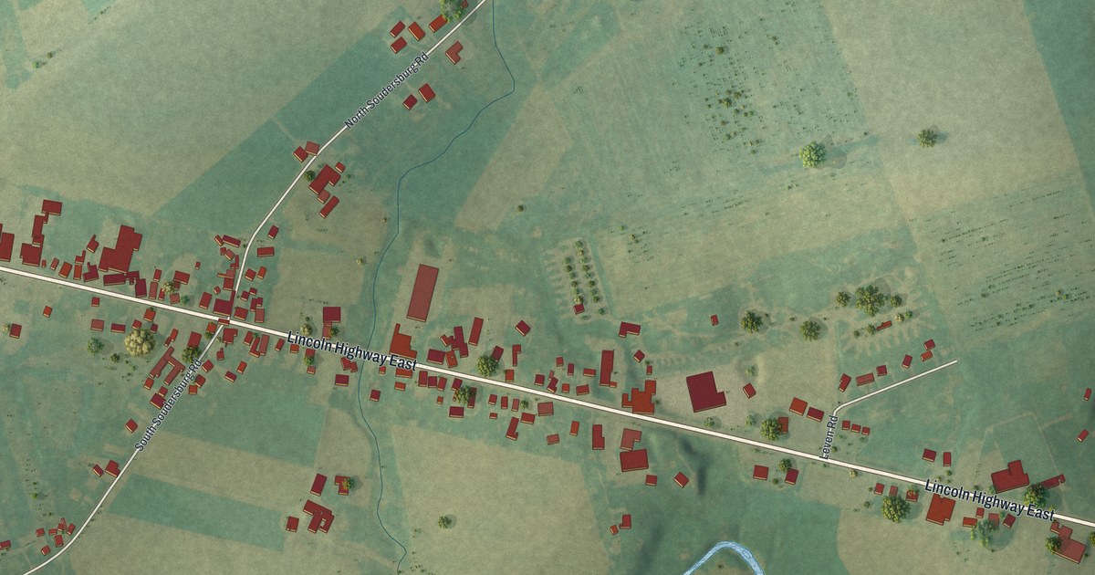
A detailed map of Soudersburg, Pennsylvania, showing every building in its true location, the roads by name, and shaded topographical relief.
Read More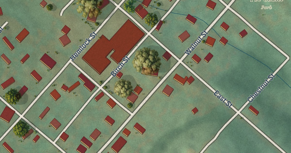
A detailed map of South Philipsburg, Pennsylvania, showing every building in its true location, the roads by name, and shaded topographical relief.
Read More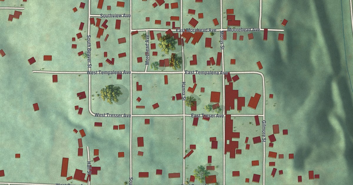
A detailed map of South New Castle, Pennsylvania, showing every building in its true location, the roads by name, and shaded topographical relief.
Read More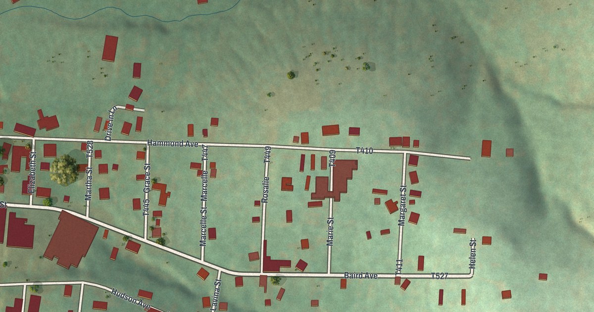
A detailed map of Slovan, Pennsylvania, showing every building in its true location, the roads by name, and shaded topographical relief.
Read More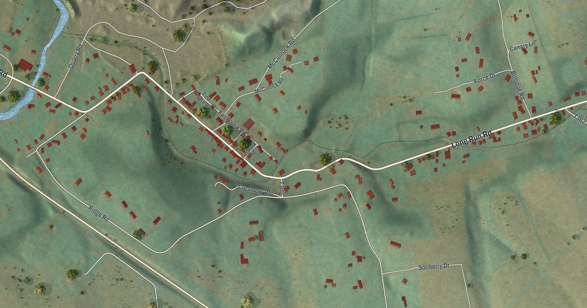
A detailed map of Salona, Pennsylvania, showing every building in its true location, the roads by name, and shaded topographical relief.
Read More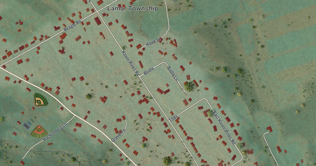
A detailed map of Rote, Pennsylvania, showing every building in its true location, the roads by name, and shaded topographical relief.
Read More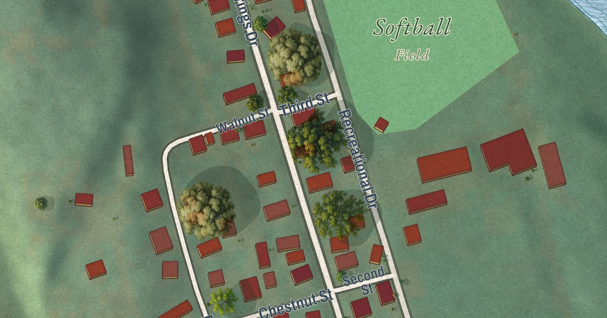
A detailed map of Robeson Extension, Pennsylvania, showing every building in its true location, the roads by name, and shaded topographical relief.
Read More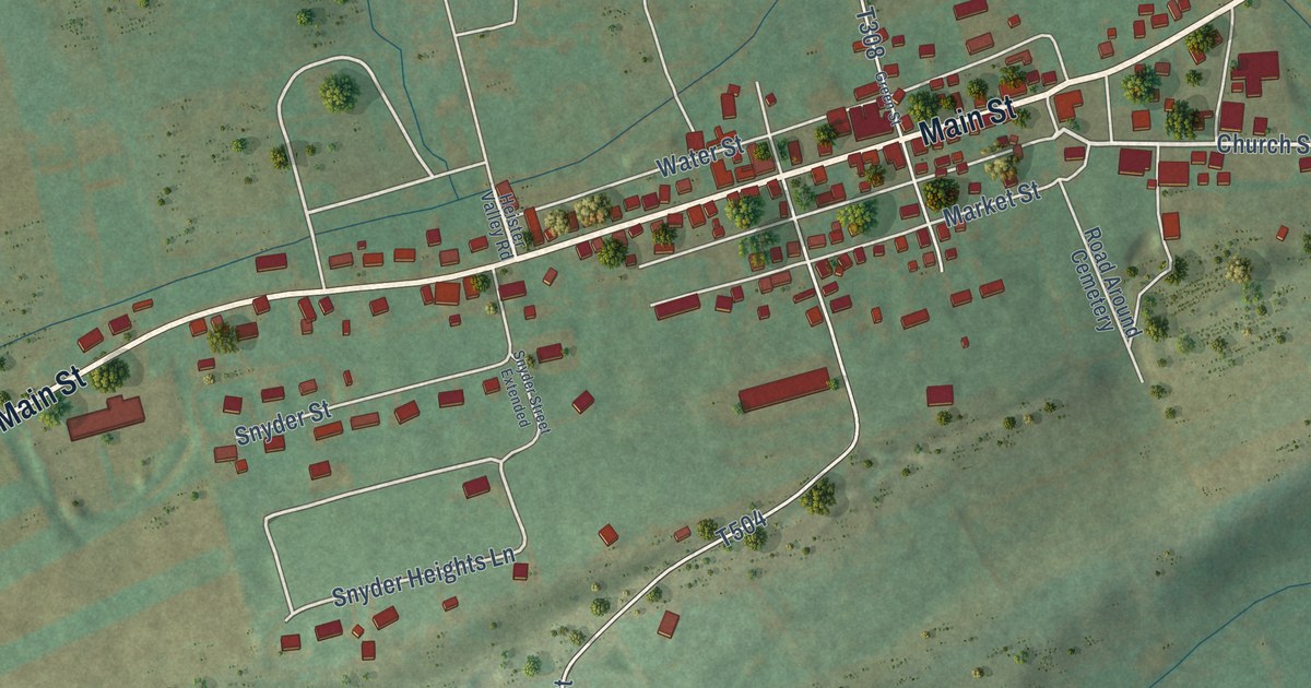
A detailed map of Richfield, Pennsylvania, showing every building in its true location, the roads by name, and shaded topographical relief.
Read More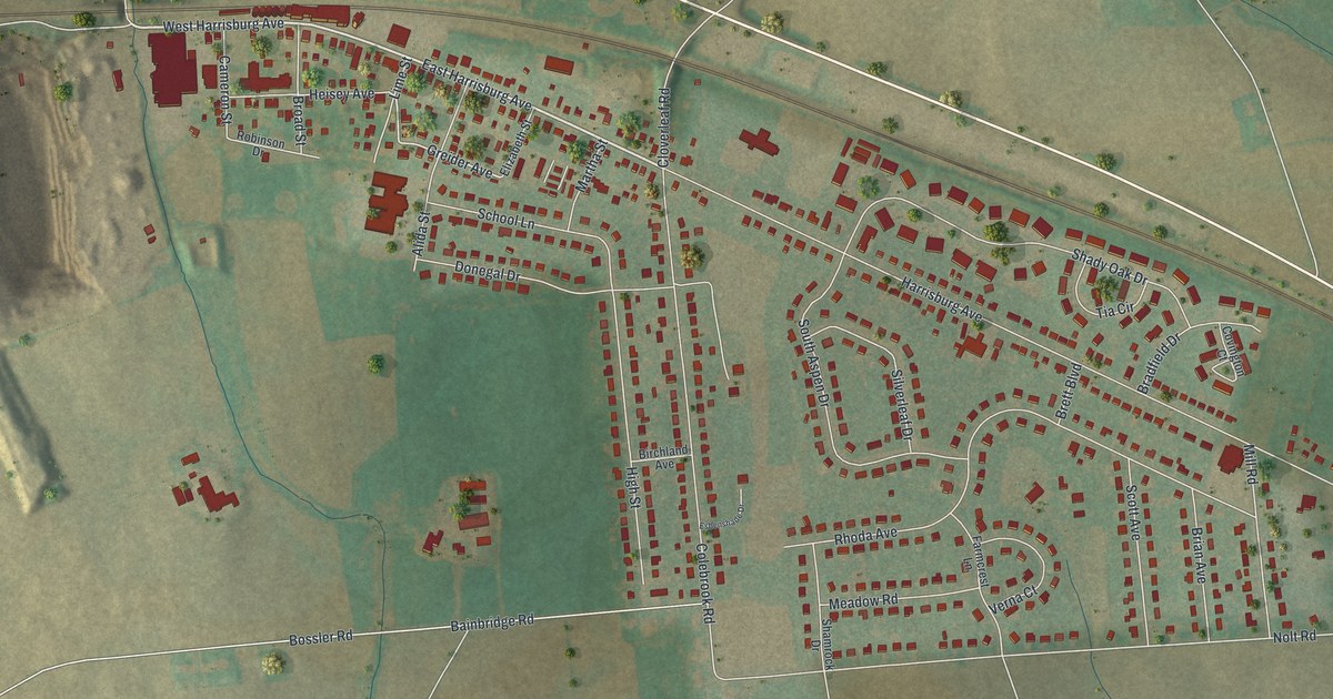
A detailed map of Rheems, Pennsylvania, showing every building in its true location, the roads by name, and shaded topographical relief.
Read More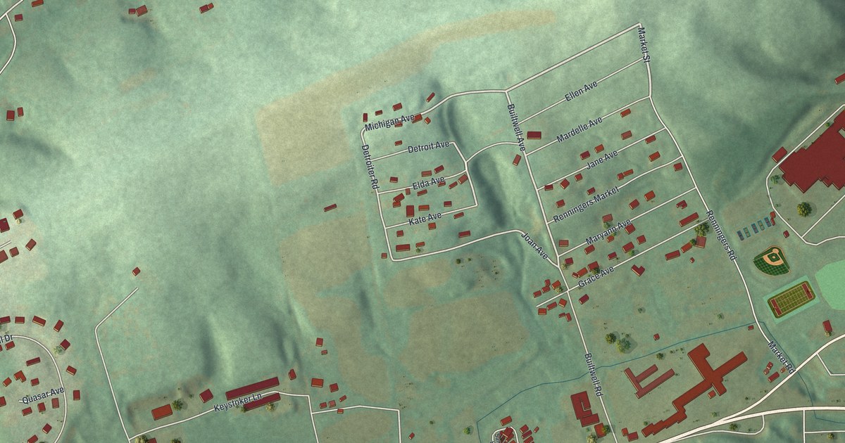
A detailed map of Renningers, Pennsylvania, showing every building in its true location, the roads by name, and shaded topographical relief.
Read More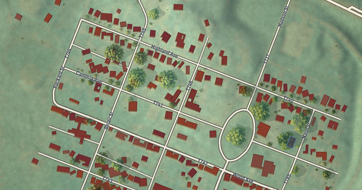
A detailed map of Revloc, Pennsylvania, showing every building in its true location, the roads by name, and shaded topographical relief.
Read More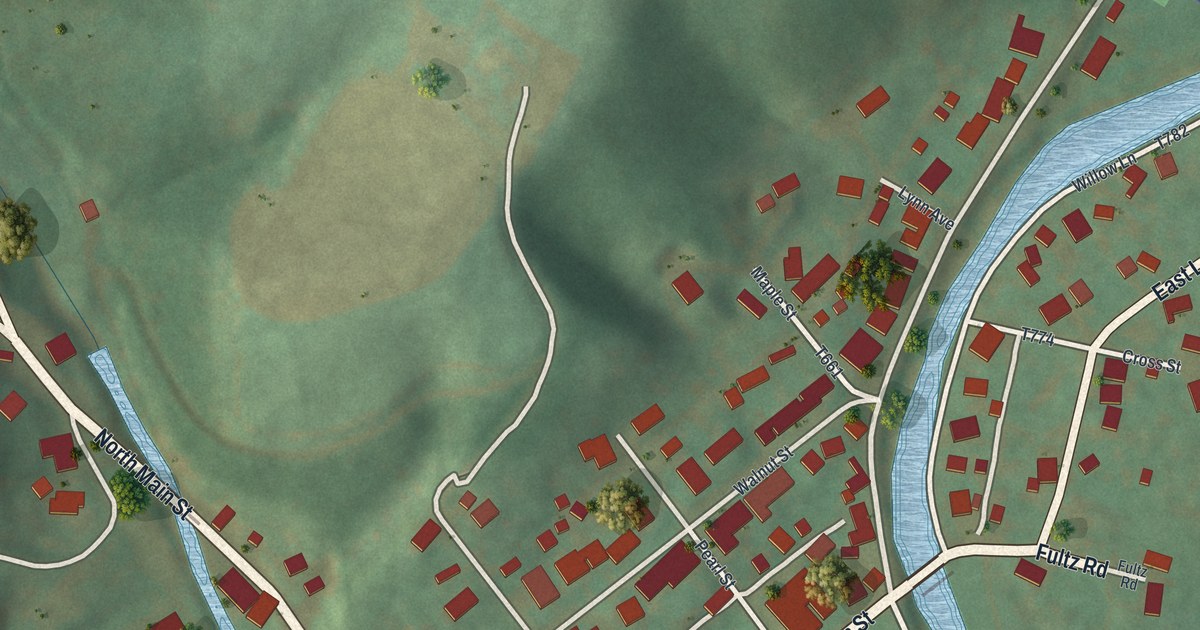
A detailed map of Reedsville, Pennsylvania, showing every building in its true location, the roads by name, and shaded topographical relief.
Read More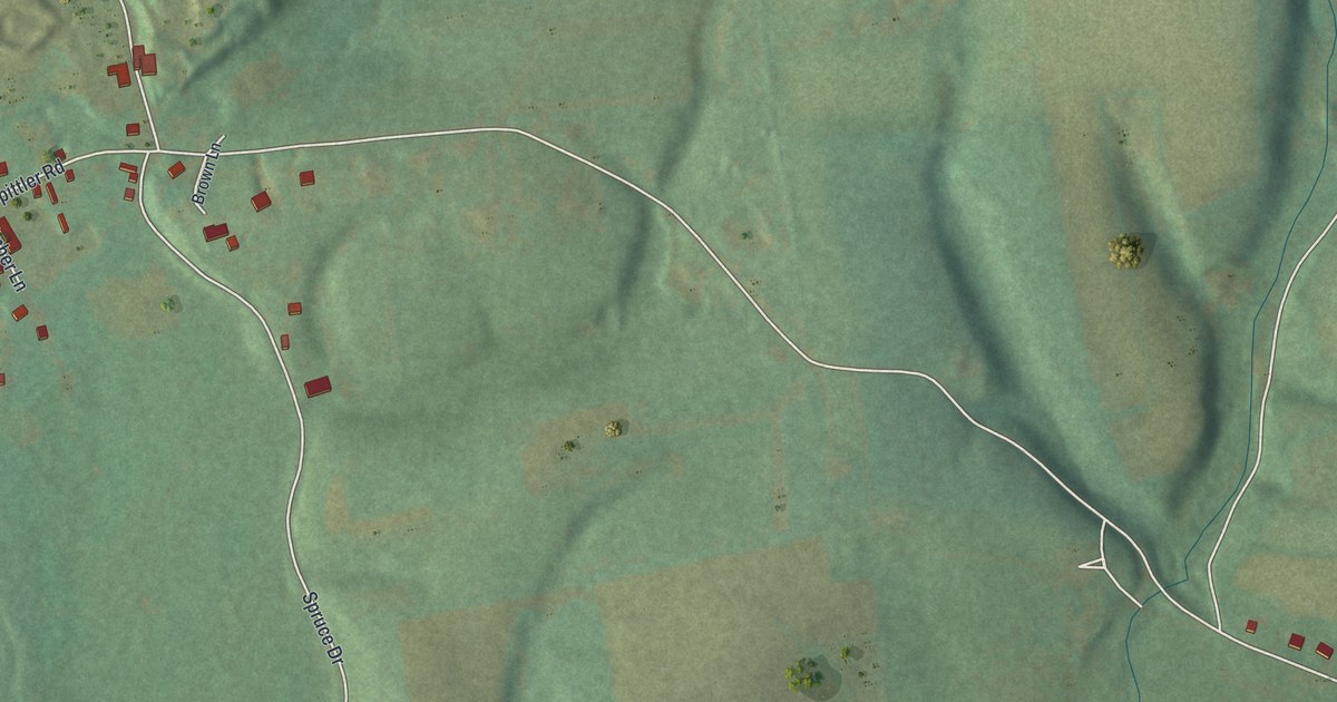
A detailed map of Ravine, Pennsylvania, showing every building in its true location, the roads by name, and shaded topographical relief.
Read More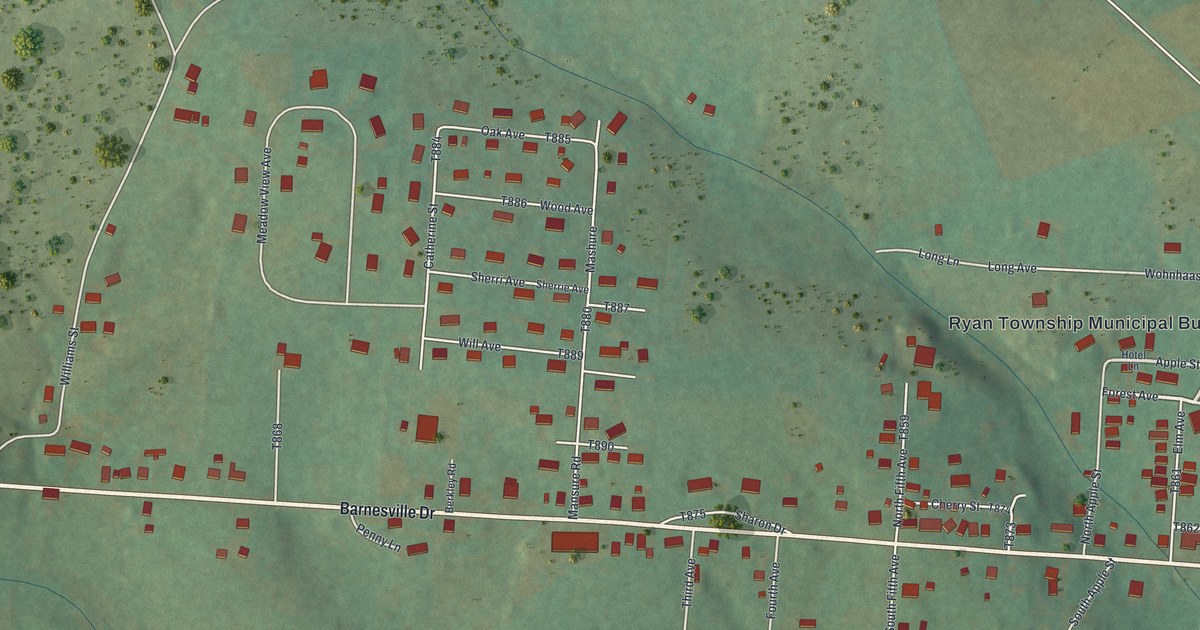
A detailed map of Park Crest, Pennsylvania, showing every building in its true location, the roads by name, and shaded topographical relief.
Read More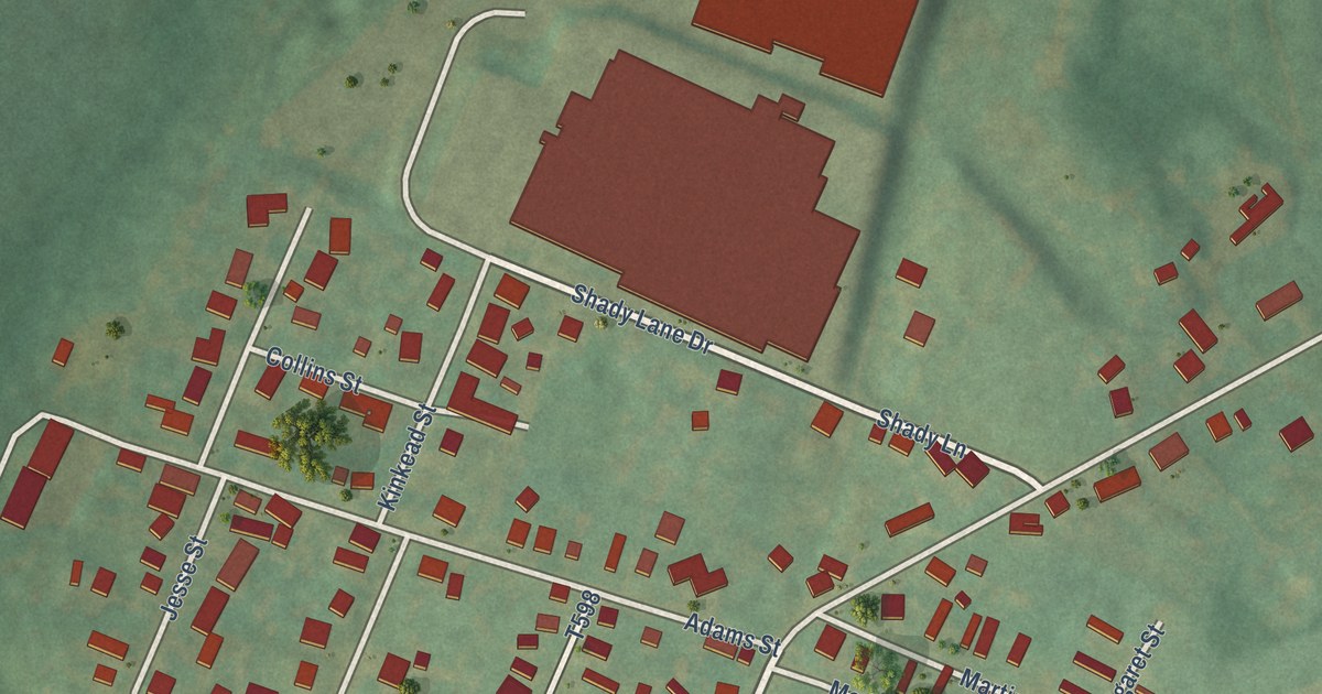
A detailed map of North Philipsburg, Pennsylvania, showing every building in its true location, the roads by name, and shaded topographical relief.
Read More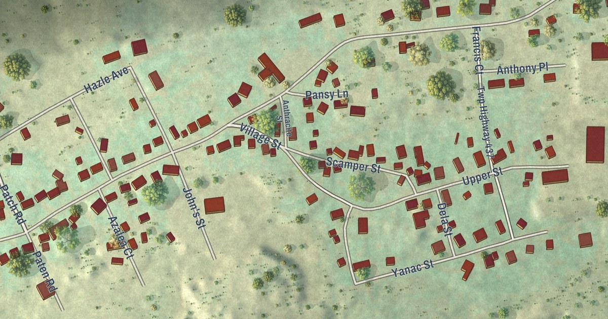
A detailed map of Pardeesville, Pennsylvania, showing every building in its true location, the roads by name, and shaded topographical relief.
Read More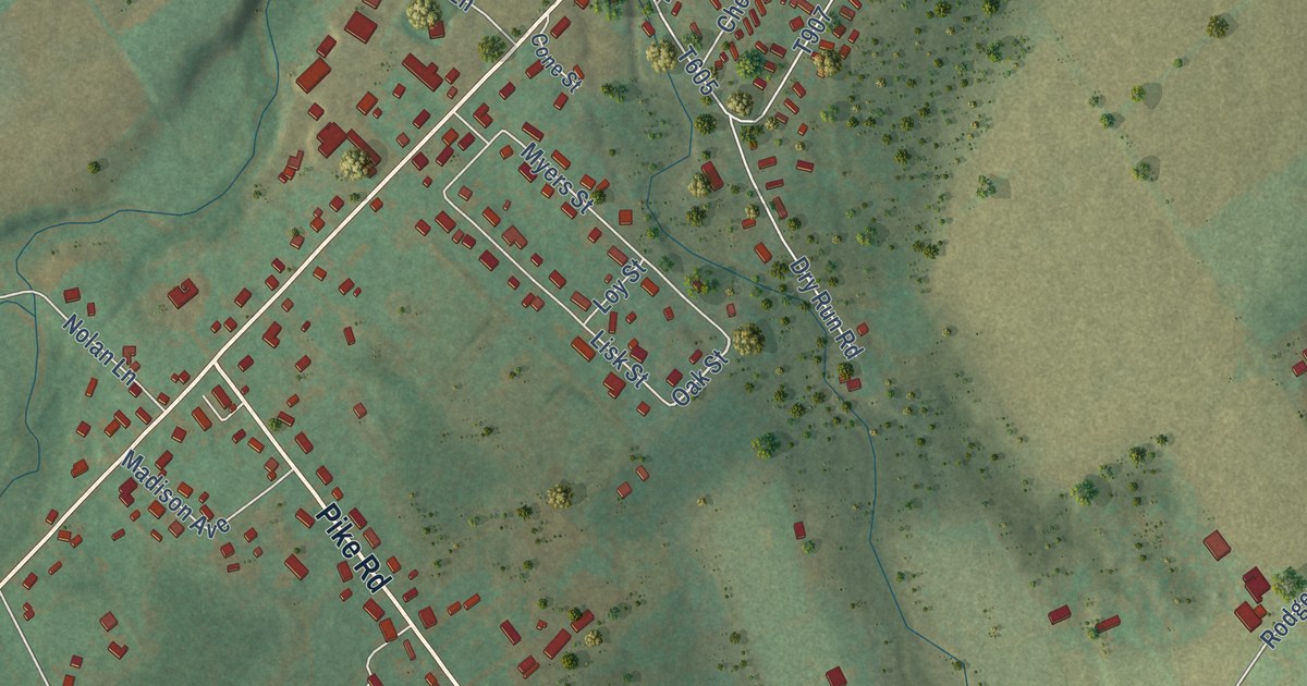
A detailed map of Nittany, Pennsylvania, showing every building in its true location, the roads by name, and shaded topographical relief.
Read More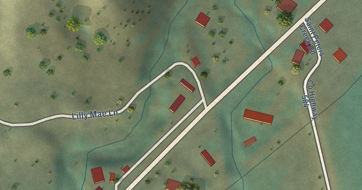
A detailed map of Malo, Washington, showing every building in its true location, the roads by name, and shaded topographical relief.
Read More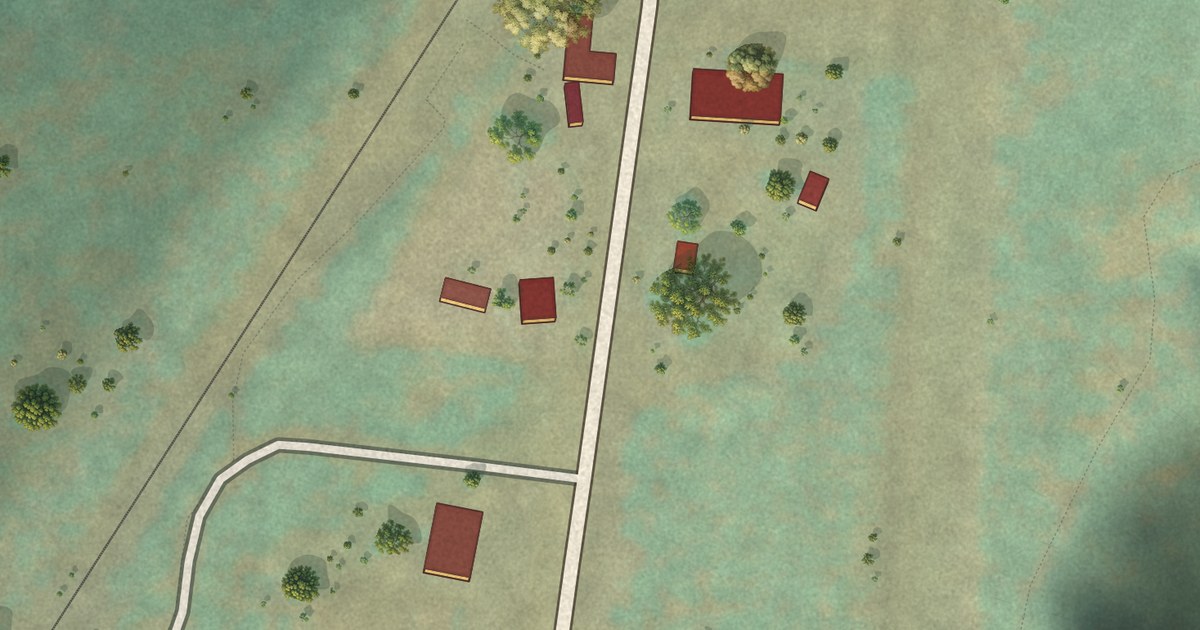
A detailed map of Laurier, Washington, showing every building in its true location, the roads by name, and shaded topographical relief.
Read More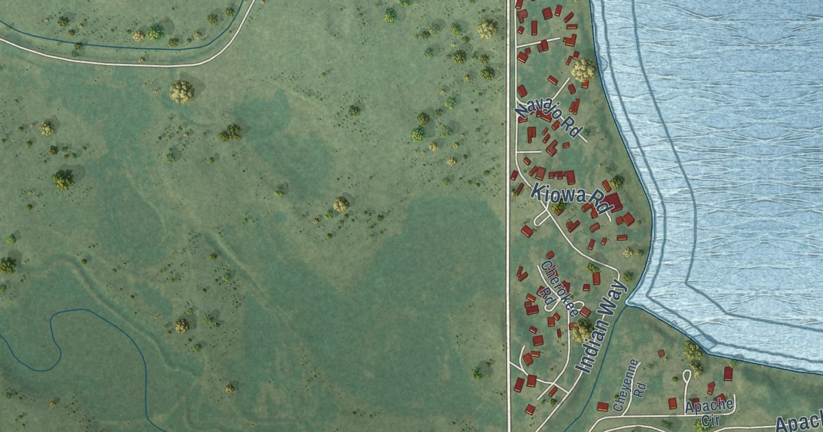
A detailed map of Jackson Lake, Colorado, showing every building in its true location, the roads by name, and shaded topographical relief.
Read More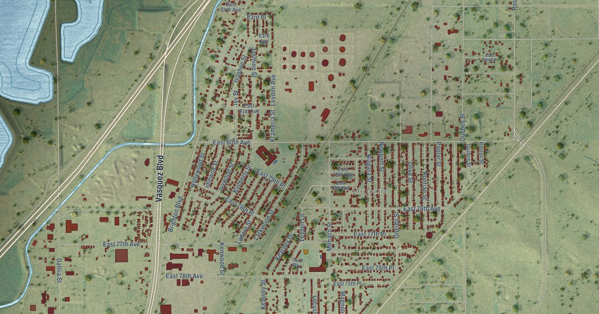
A detailed map of Derby, Colorado, showing every building in its true location, the roads by name, and shaded topographical relief.
Read More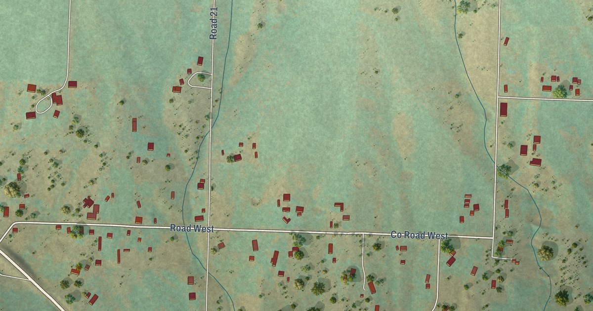
A detailed map of Lewis, Colorado, showing every building in its true location, the roads by name, and shaded topographical relief.
Read More















