Detailed Map of Hensel, North Dakota
A detailed map of Hensel, North Dakota, showing every building in its true location, the roads by name, and shaded topographical relief.
Read More
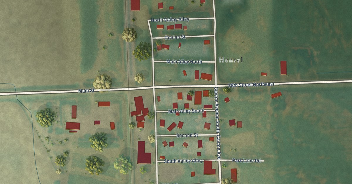
A detailed map of Hensel, North Dakota, showing every building in its true location, the roads by name, and shaded topographical relief.
Read More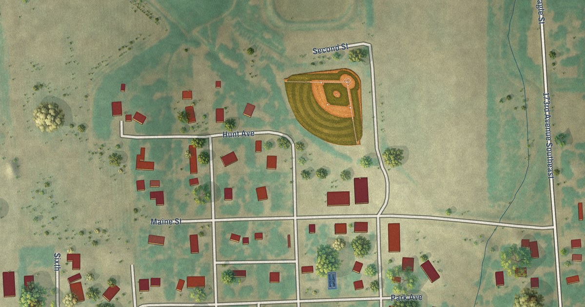
A detailed map of Christine, North Dakota, showing every building in its true location, the roads by name, and shaded topographical relief.
Read More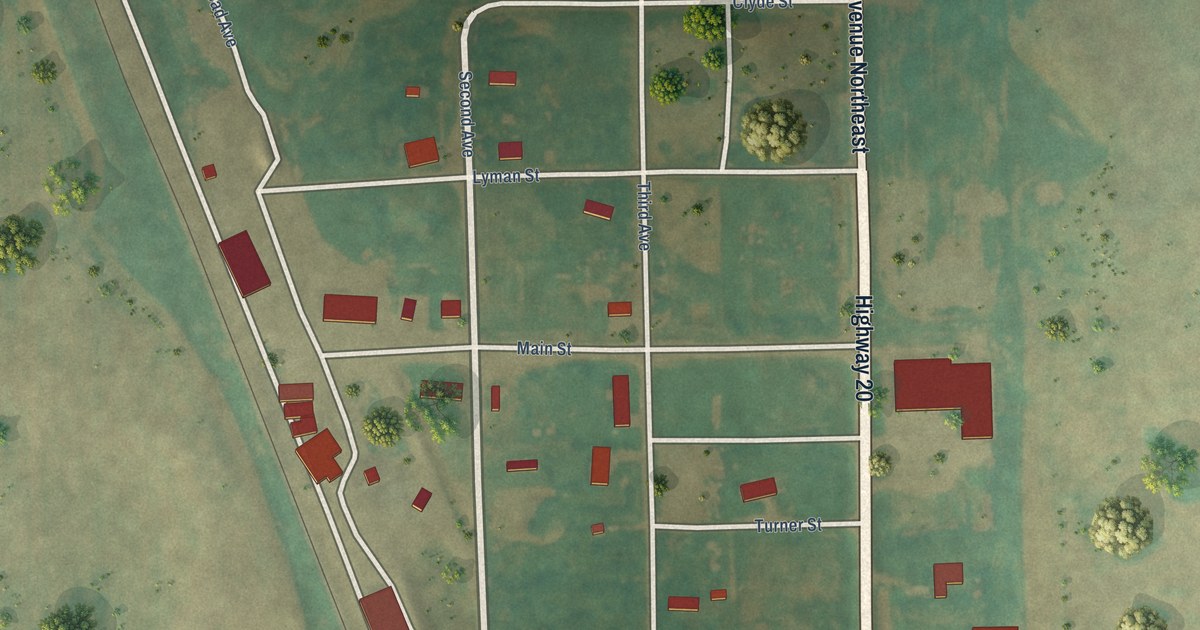
A detailed map of Calvin, North Dakota, showing every building in its true location, the roads by name, and shaded topographical relief.
Read More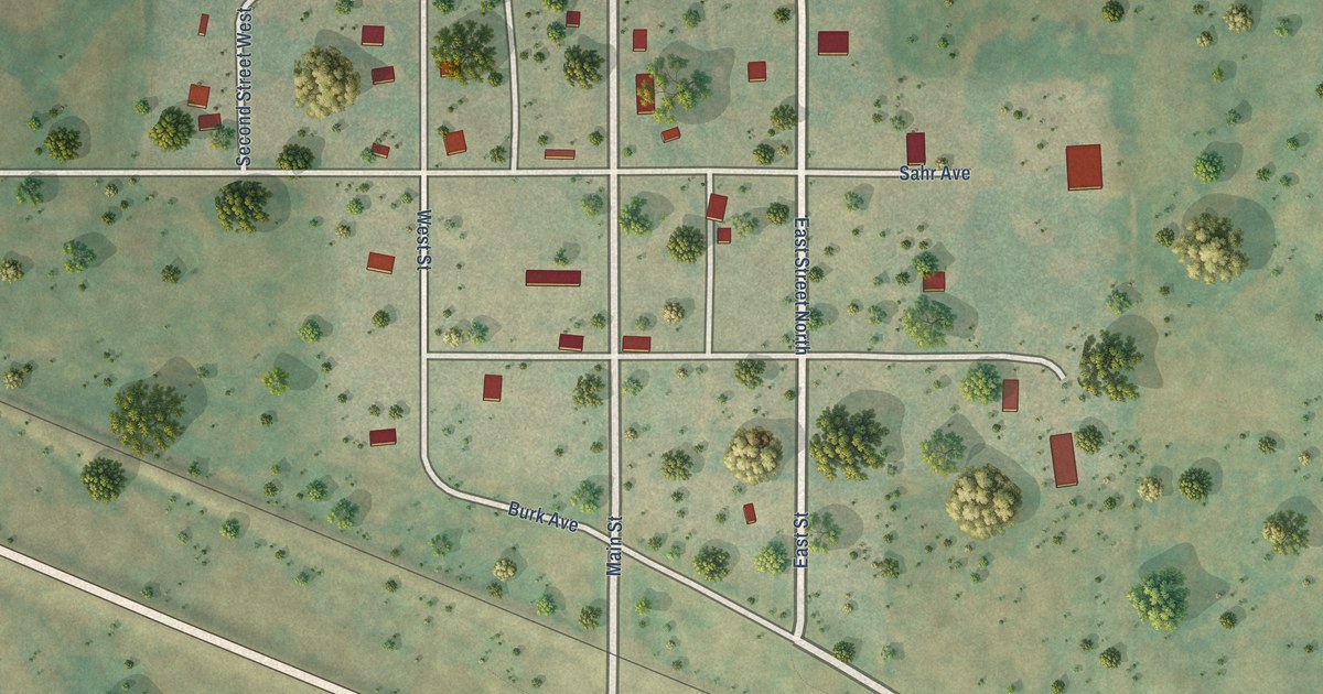
A detailed map of Balfour, North Dakota, showing every building in its true location, the roads by name, and shaded topographical relief.
Read More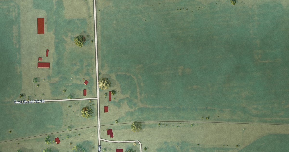
A detailed map of Cayuga, North Dakota, showing every building in its true location, the roads by name, and shaded topographical relief.
Read More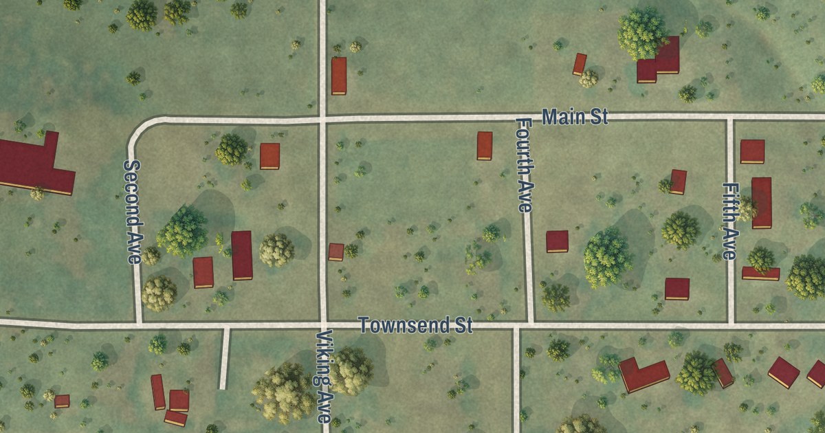
A detailed map of Bergen, North Dakota, showing every building in its true location, the roads by name, and shaded topographical relief.
Read More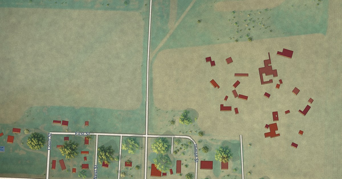
A detailed map of Amidon, North Dakota, showing every building in its true location, the roads by name, and shaded topographical relief.
Read More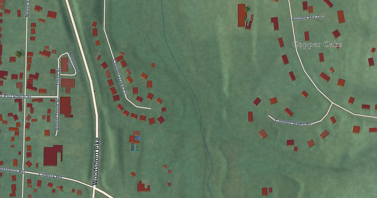
A detailed map of Woodsboro, Maryland, showing every building in its true location, the roads by name, and shaded topographical relief.
Read More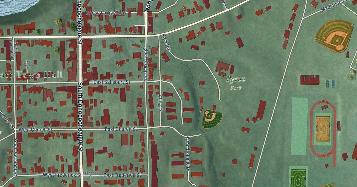
A detailed map of Williamsport, Maryland, showing every building in its true location, the roads by name, and shaded topographical relief.
Read More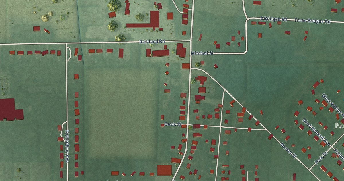
A detailed map of Willards, Maryland, showing every building in its true location, the roads by name, and shaded topographical relief.
Read More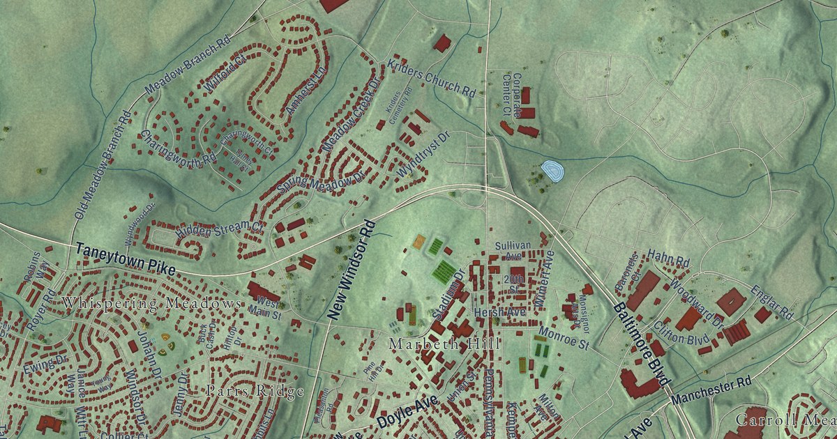
A detailed map of Westminster, Maryland, showing every building in its true location, the roads by name, and shaded topographical relief.
Read More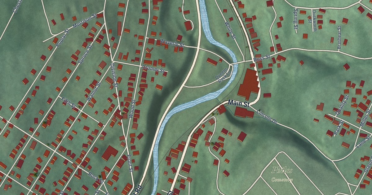
A detailed map of Westernport, Maryland, showing every building in its true location, the roads by name, and shaded topographical relief.
Read More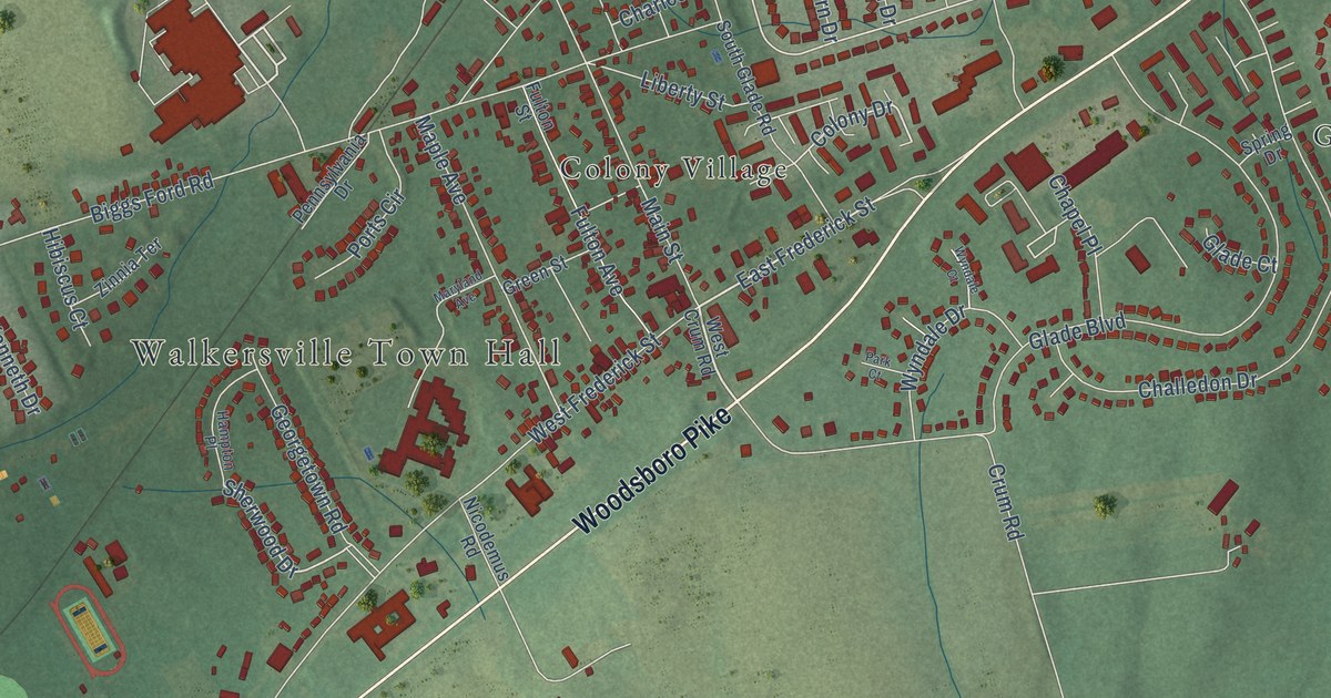
A detailed map of Walkersville, Maryland, showing every building in its true location, the roads by name, and shaded topographical relief.
Read More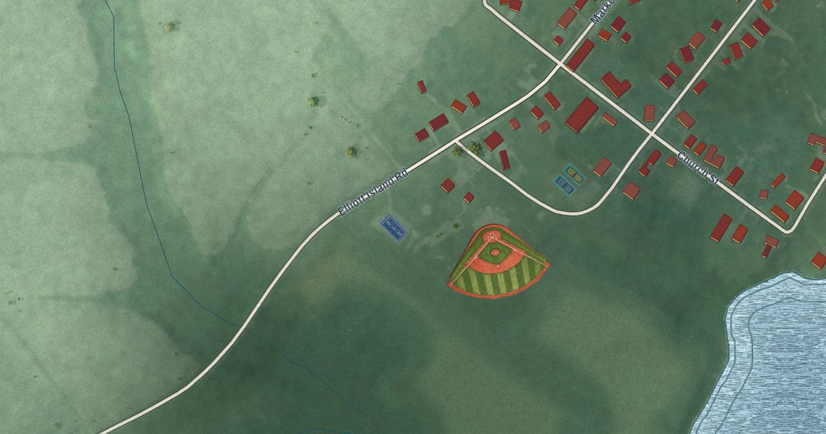
A detailed map of Vienna, Maryland, showing every building in its true location, the roads by name, and shaded topographical relief.
Read More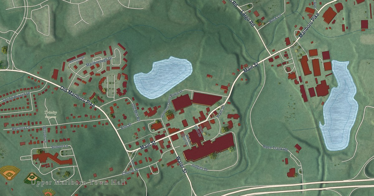
A detailed map of Upper Marlboro, Maryland, showing every building in its true location, the roads by name, and shaded topographical relief.
Read More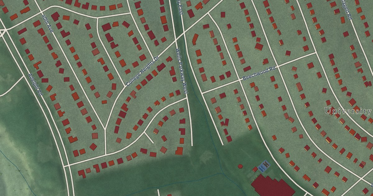
A detailed map of University Park, Maryland, showing every building in its true location, the roads by name, and shaded topographical relief.
Read More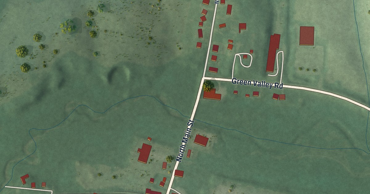
A detailed map of Union Bridge, Maryland, showing every building in its true location, the roads by name, and shaded topographical relief.
Read More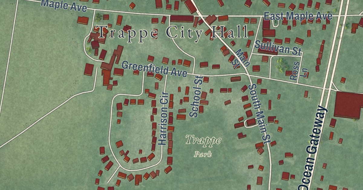
A detailed map of Trappe, Maryland, showing every building in its true location, the roads by name, and shaded topographical relief.
Read More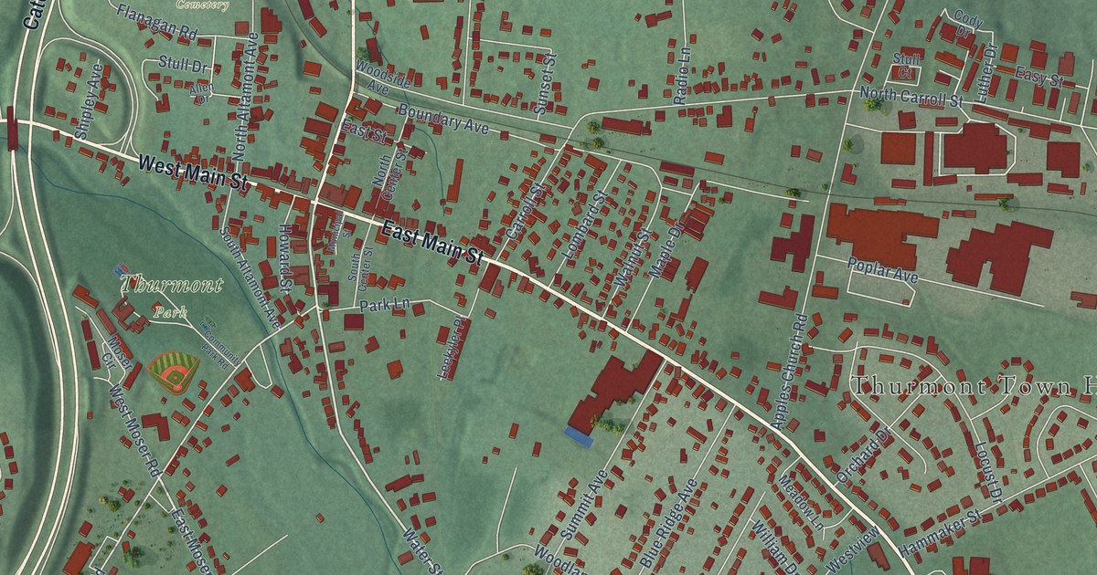
A detailed map of Thurmont, Maryland, showing every building in its true location, the roads by name, and shaded topographical relief.
Read More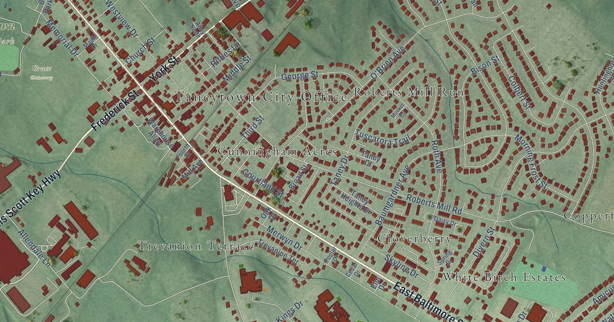
A detailed map of Taneytown, Maryland, showing every building in its true location, the roads by name, and shaded topographical relief.
Read More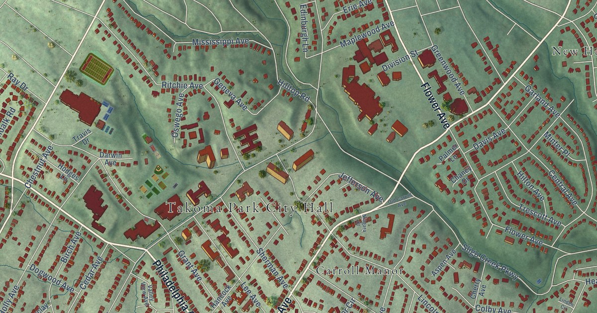
A detailed map of Takoma Park, Maryland, showing every building in its true location, the roads by name, and shaded topographical relief.
Read More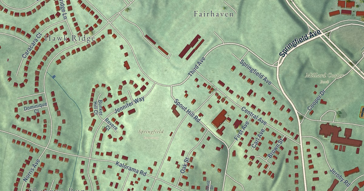
A detailed map of Sykesville, Maryland, showing every building in its true location, the roads by name, and shaded topographical relief.
Read More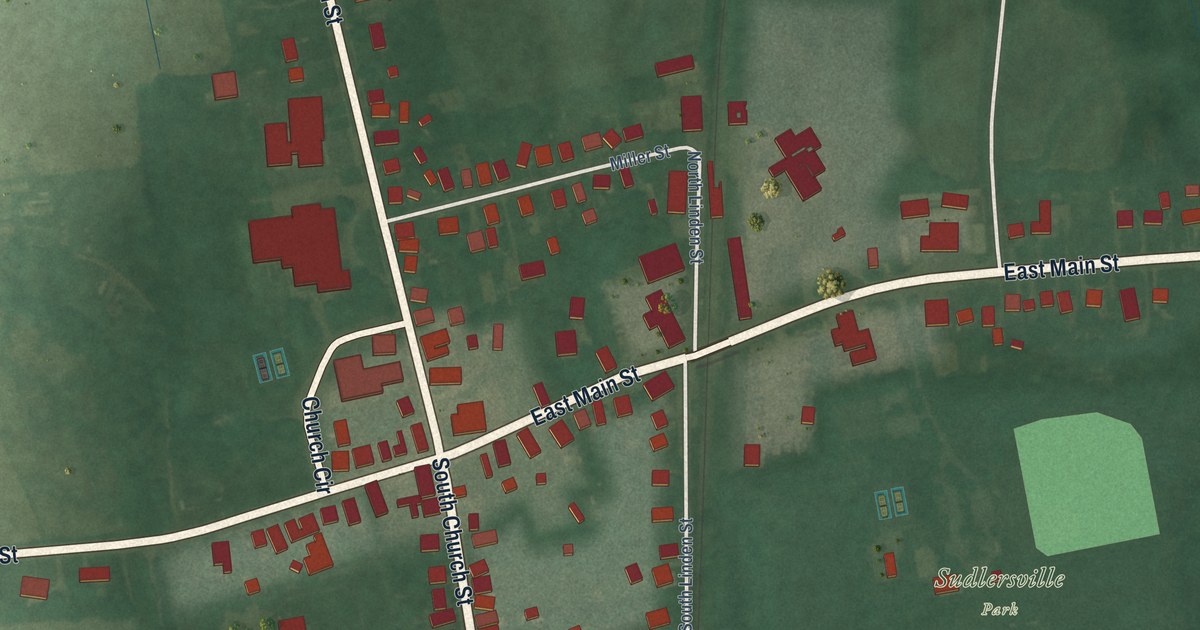
A detailed map of Sudlersville, Maryland, showing every building in its true location, the roads by name, and shaded topographical relief.
Read More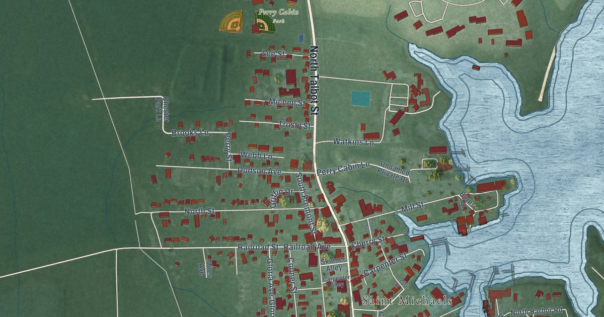
A detailed map of St. Michaels, Maryland, showing every building in its true location, the roads by name, and shaded topographical relief.
Read More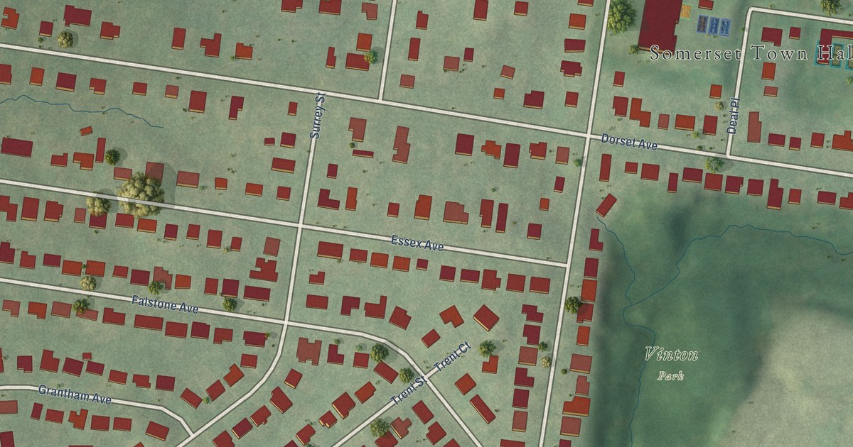
A detailed map of Somerset, Maryland, showing every building in its true location, the roads by name, and shaded topographical relief.
Read More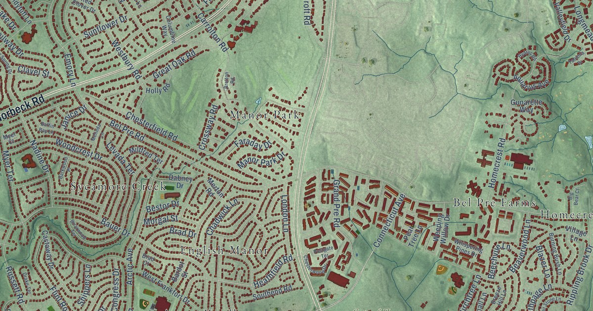
A detailed map of Aspen Hill, Maryland, showing every building in its true location, the roads by name, and shaded topographical relief.
Read More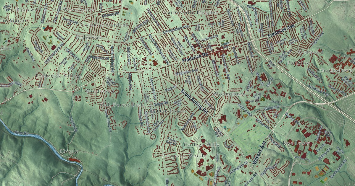
A detailed map of Catonsville, Maryland, showing every building in its true location, the roads by name, and shaded topographical relief.
Read More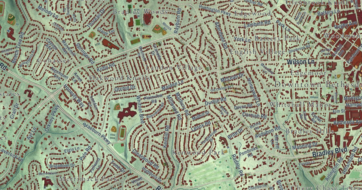
A detailed map of Bethesda, Maryland, showing every building in its true location, the roads by name, and shaded topographical relief.
Read More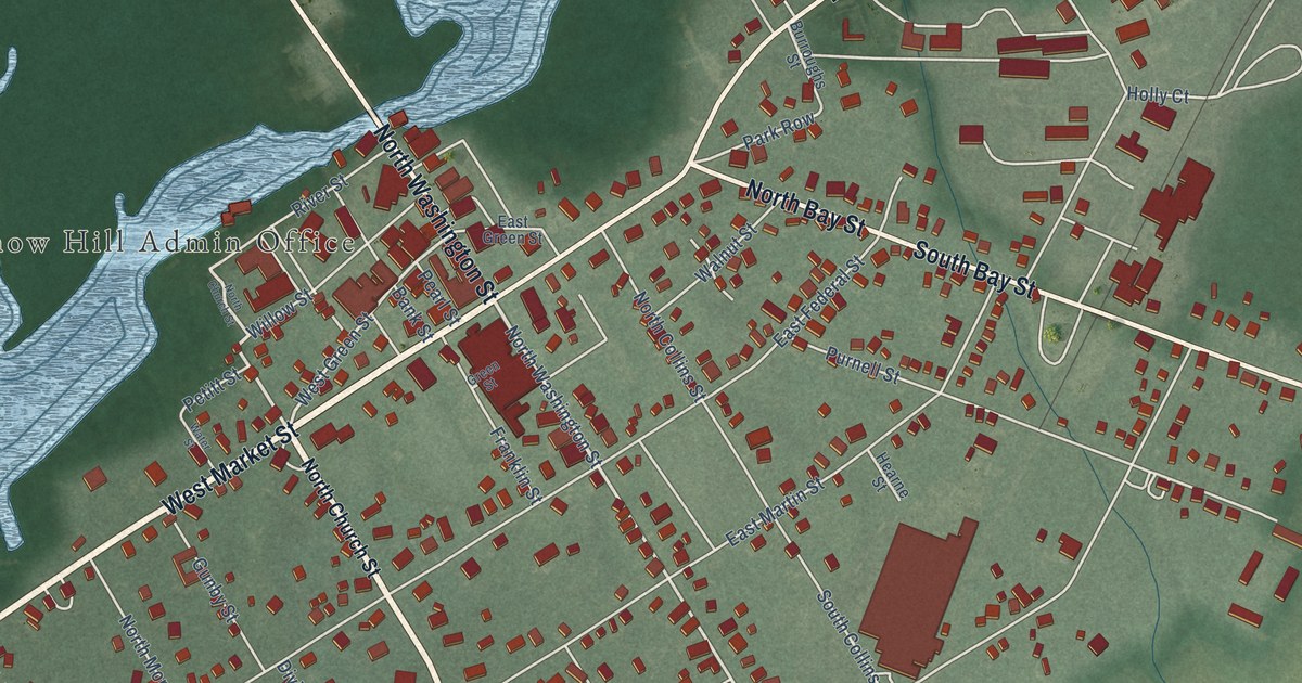
A detailed map of Snow Hill, Maryland, showing every building in its true location, the roads by name, and shaded topographical relief.
Read More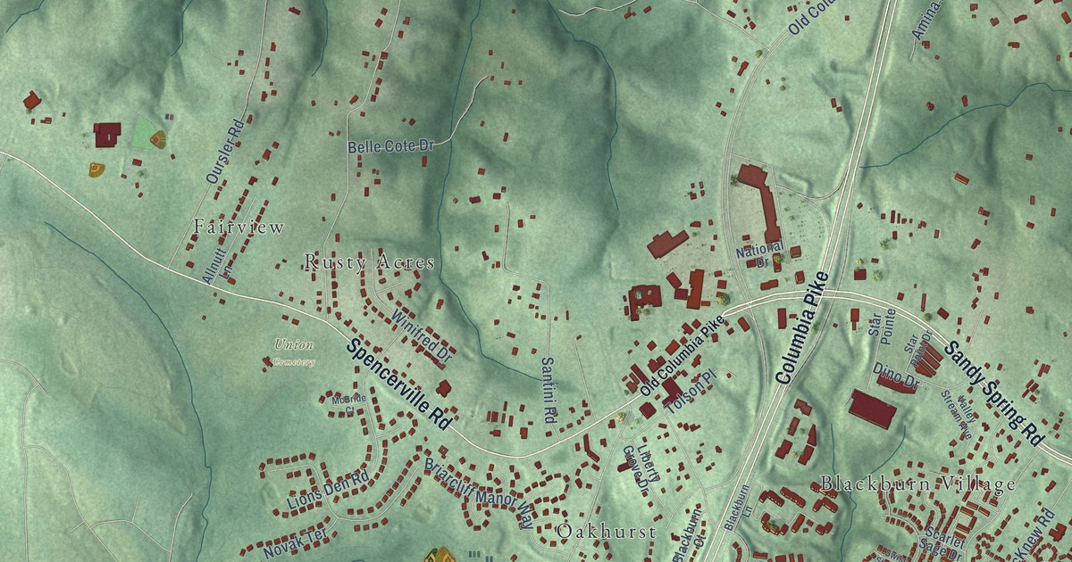
A detailed map of Burtonsville, Maryland, showing every building in its true location, the roads by name, and shaded topographical relief.
Read More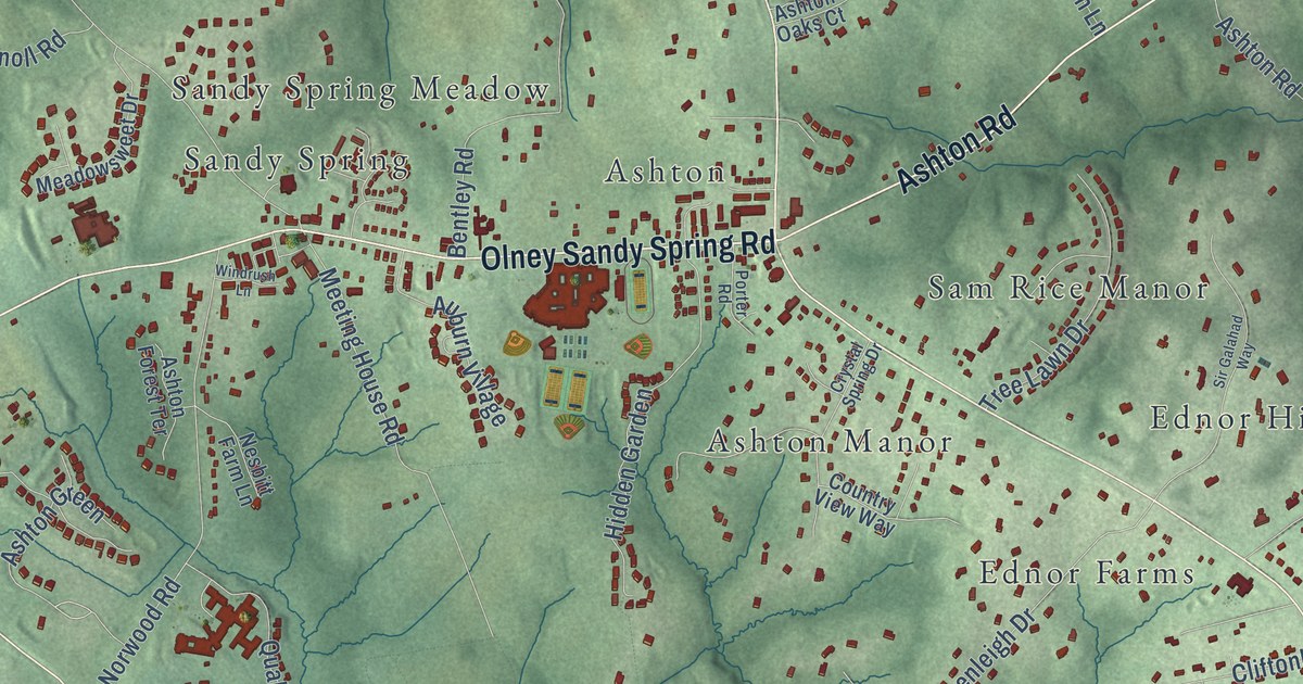
A detailed map of Ashton-Sandy Spring, Maryland, showing every building in its true location, the roads by name, and shaded topographical relief.
Read More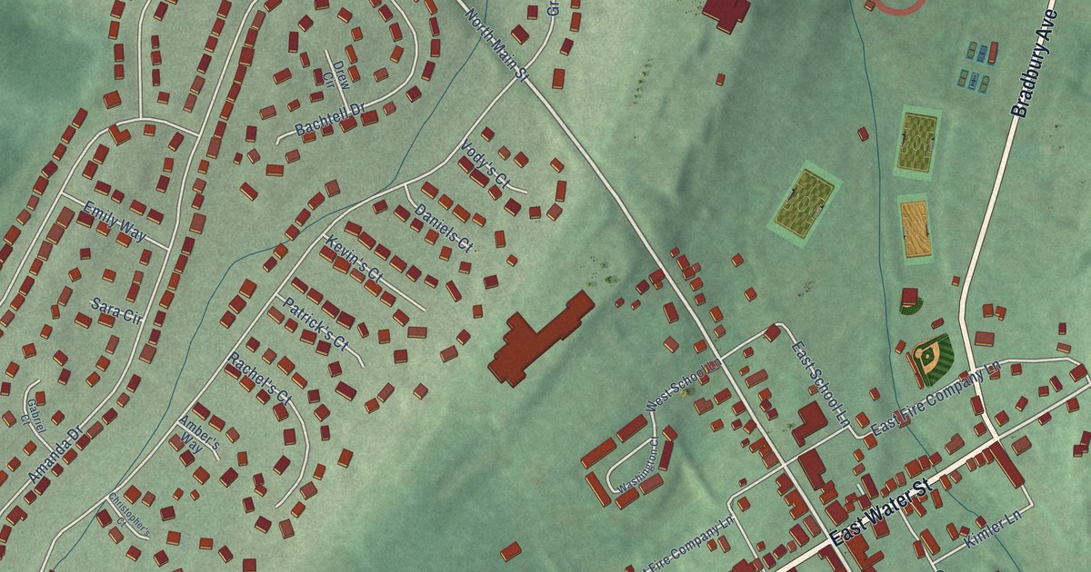
A detailed map of Smithsburg, Maryland, showing every building in its true location, the roads by name, and shaded topographical relief.
Read More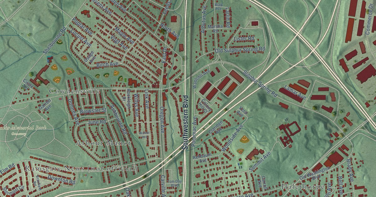
A detailed map of Arbutus, Maryland, showing every building in its true location, the roads by name, and shaded topographical relief.
Read More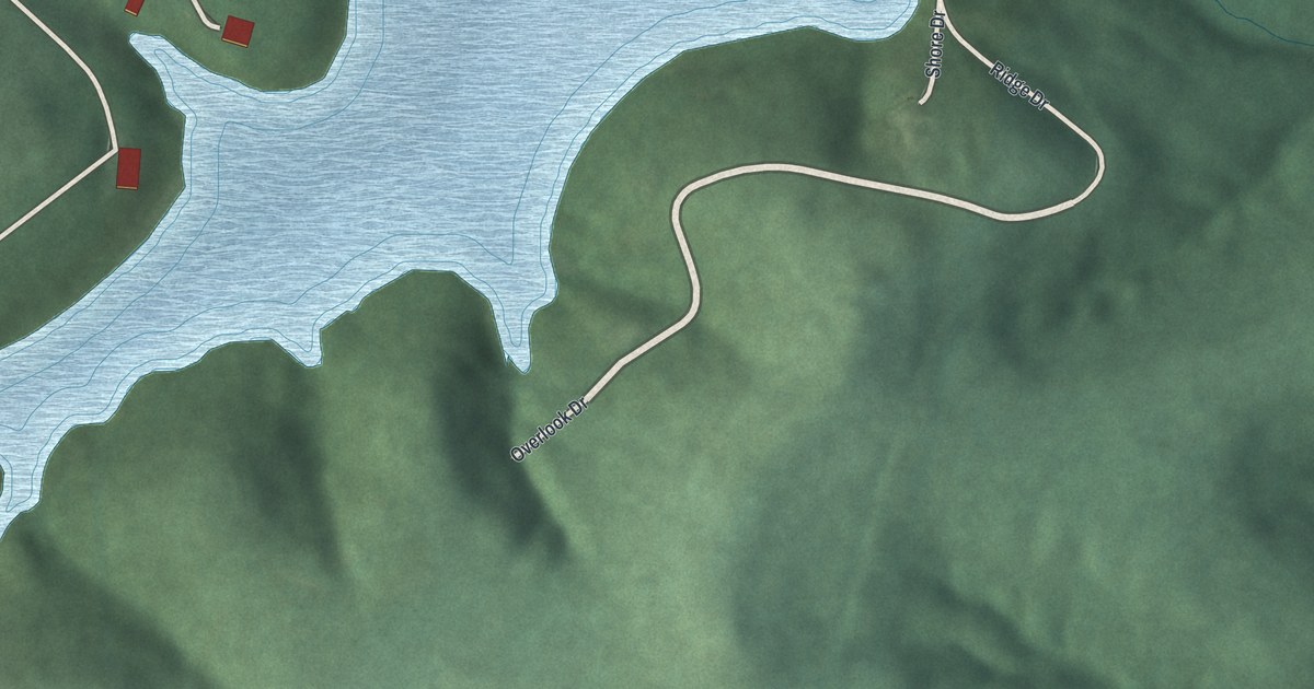
A detailed map of Wilson, Ohio, showing every building in its true location, the roads by name, and shaded topographical relief.
Read More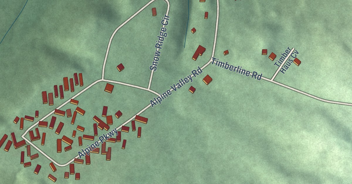
A detailed map of Valley Hi, Ohio, showing every building in its true location, the roads by name, and shaded topographical relief.
Read More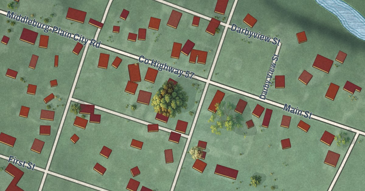
A detailed map of Unionville Center, Ohio, showing every building in its true location, the roads by name, and shaded topographical relief.
Read More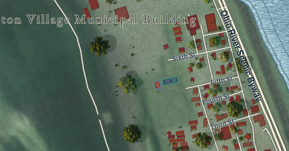
A detailed map of Stratton, Ohio, showing every building in its true location, the roads by name, and shaded topographical relief.
Read More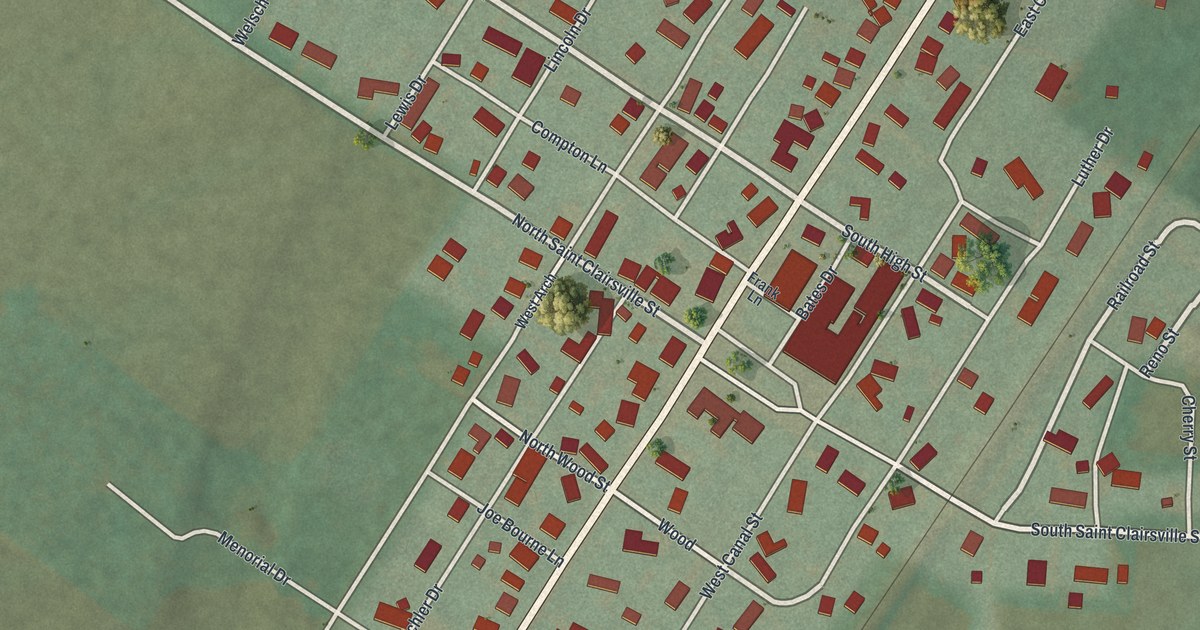
A detailed map of Port Washington, Ohio, showing every building in its true location, the roads by name, and shaded topographical relief.
Read More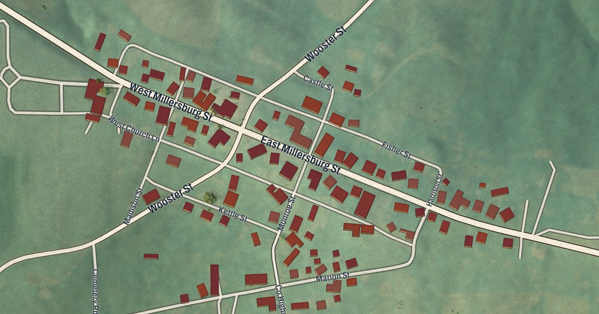
A detailed map of Nashville, Ohio, showing every building in its true location, the roads by name, and shaded topographical relief.
Read More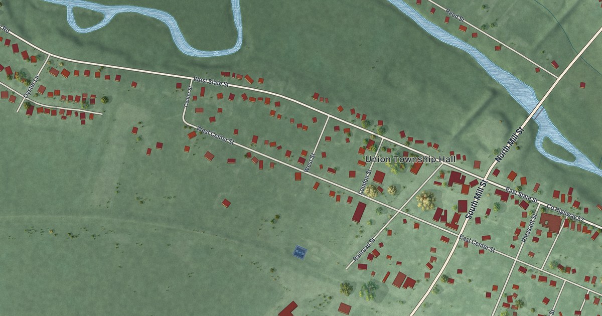
A detailed map of Milford Center, Ohio, showing every building in its true location, the roads by name, and shaded topographical relief.
Read More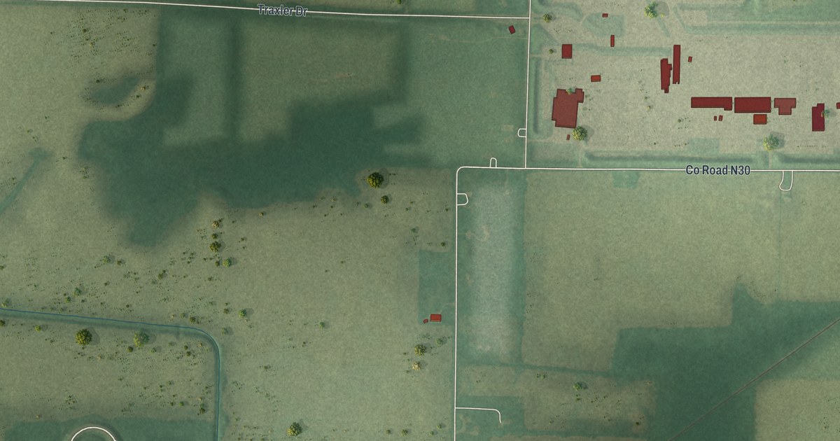
A detailed map of Holiday City, Ohio, showing every building in its true location, the roads by name, and shaded topographical relief.
Read More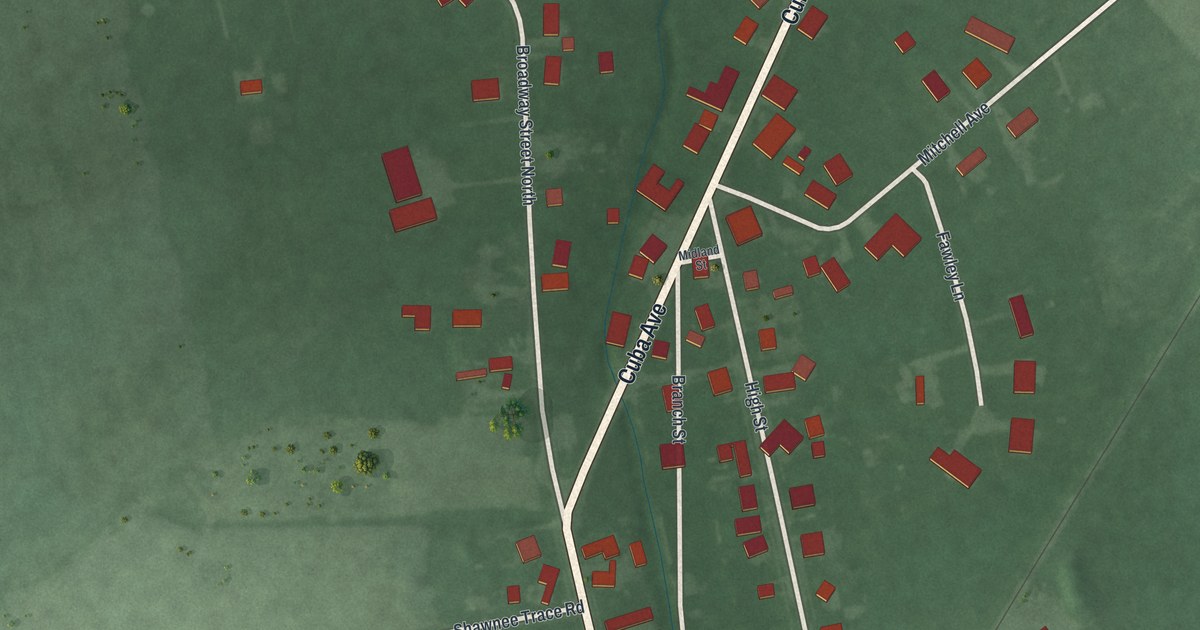
A detailed map of Midland, Ohio, showing every building in its true location, the roads by name, and shaded topographical relief.
Read More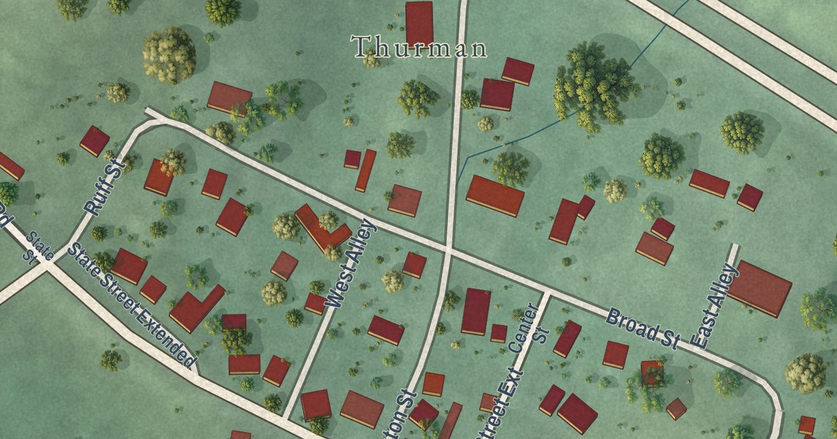
A detailed map of Thurman, Ohio, showing every building in its true location, the roads by name, and shaded topographical relief.
Read More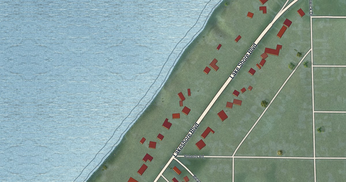
A detailed map of Lakeline, Ohio, showing every building in its true location, the roads by name, and shaded topographical relief.
Read More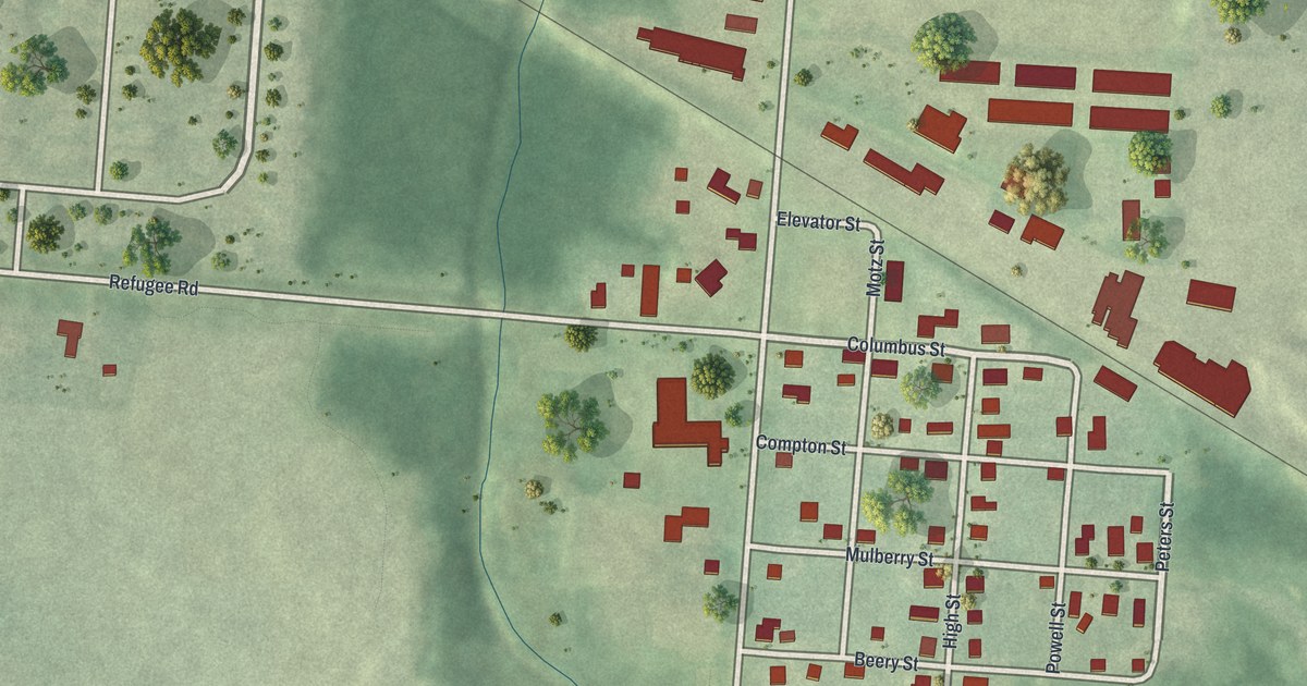
A detailed map of Brice, Ohio, showing every building in its true location, the roads by name, and shaded topographical relief.
Read More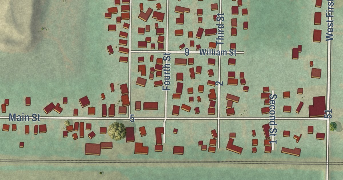
A detailed map of Clay Center, Ohio, showing every building in its true location, the roads by name, and shaded topographical relief.
Read More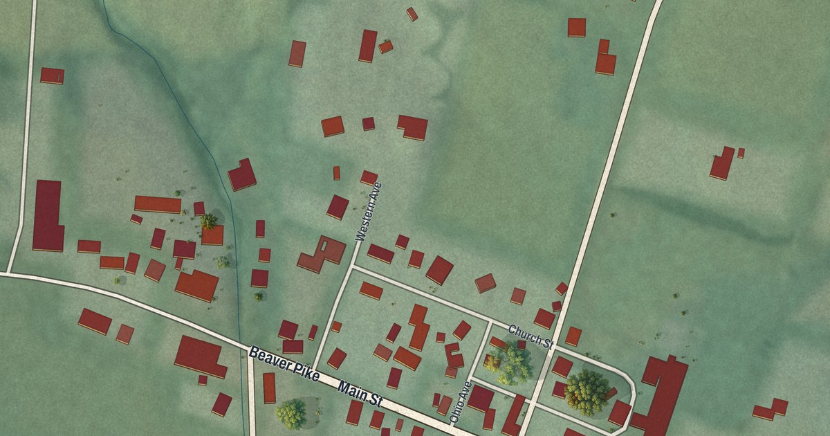
A detailed map of Beaver, Ohio, showing every building in its true location, the roads by name, and shaded topographical relief.
Read More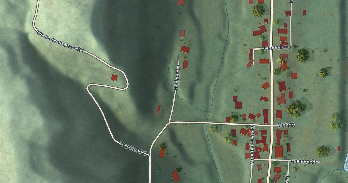
A detailed map of Athalia, Ohio, showing every building in its true location, the roads by name, and shaded topographical relief.
Read More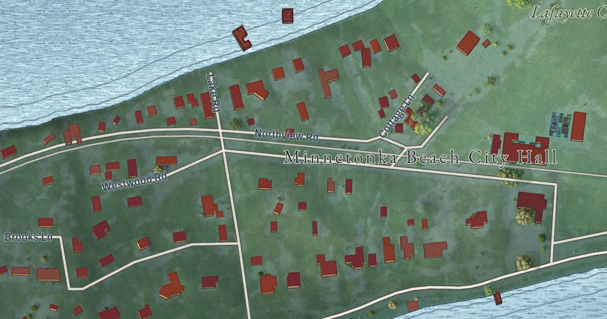
A detailed map of Minnetonka Beach, Minnesota, showing every building in its true location, the roads by name, and shaded topographical relief.
Read More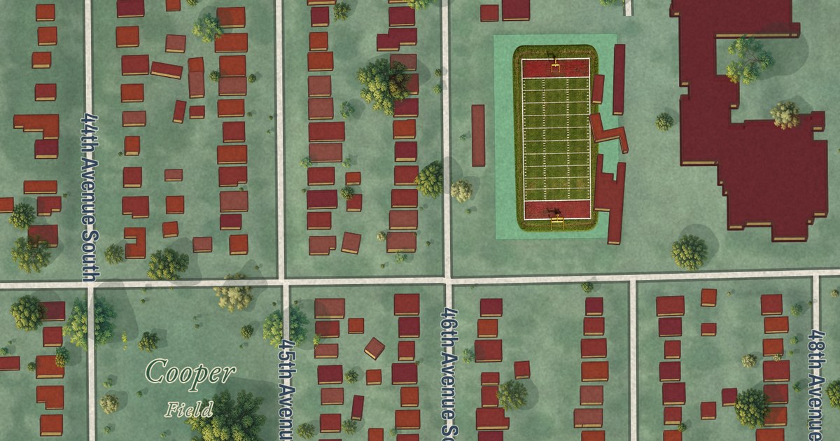
A detailed map of Cooper, Minnesota, showing every building in its true location, the roads by name, and shaded topographical relief.
Read More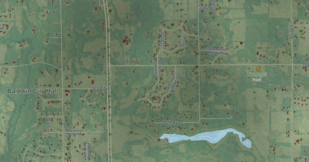
A detailed map of Baldwin, Minnesota, showing every building in its true location, the roads by name, and shaded topographical relief.
Read More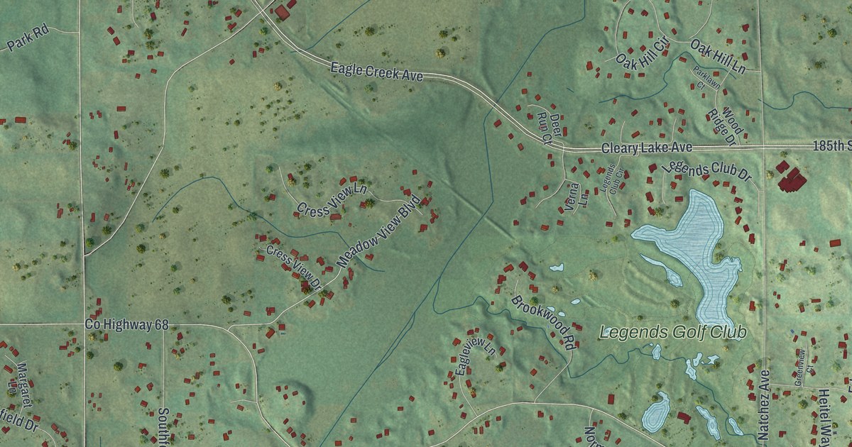
A detailed map of Credit River, Minnesota, showing every building in its true location, the roads by name, and shaded topographical relief.
Read More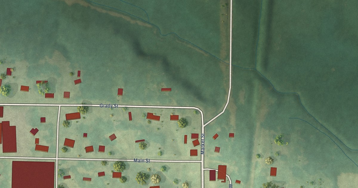
A detailed map of Woodland, Mississippi, showing every building in its true location, the roads by name, and shaded topographical relief.
Read More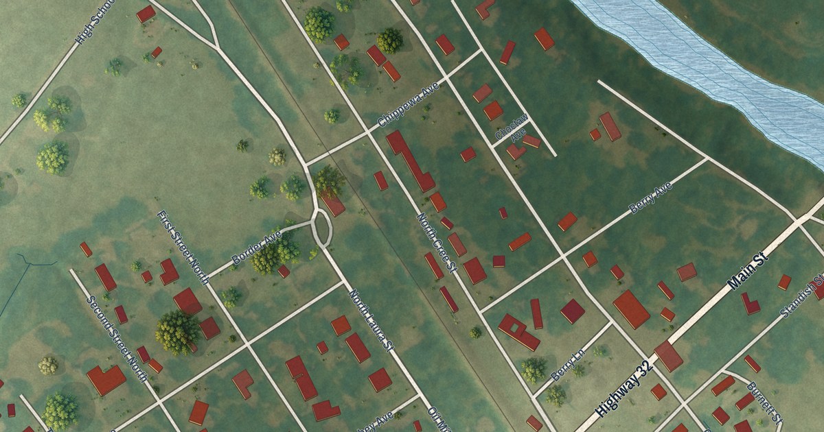
A detailed map of Webb, Mississippi, showing every building in its true location, the roads by name, and shaded topographical relief.
Read More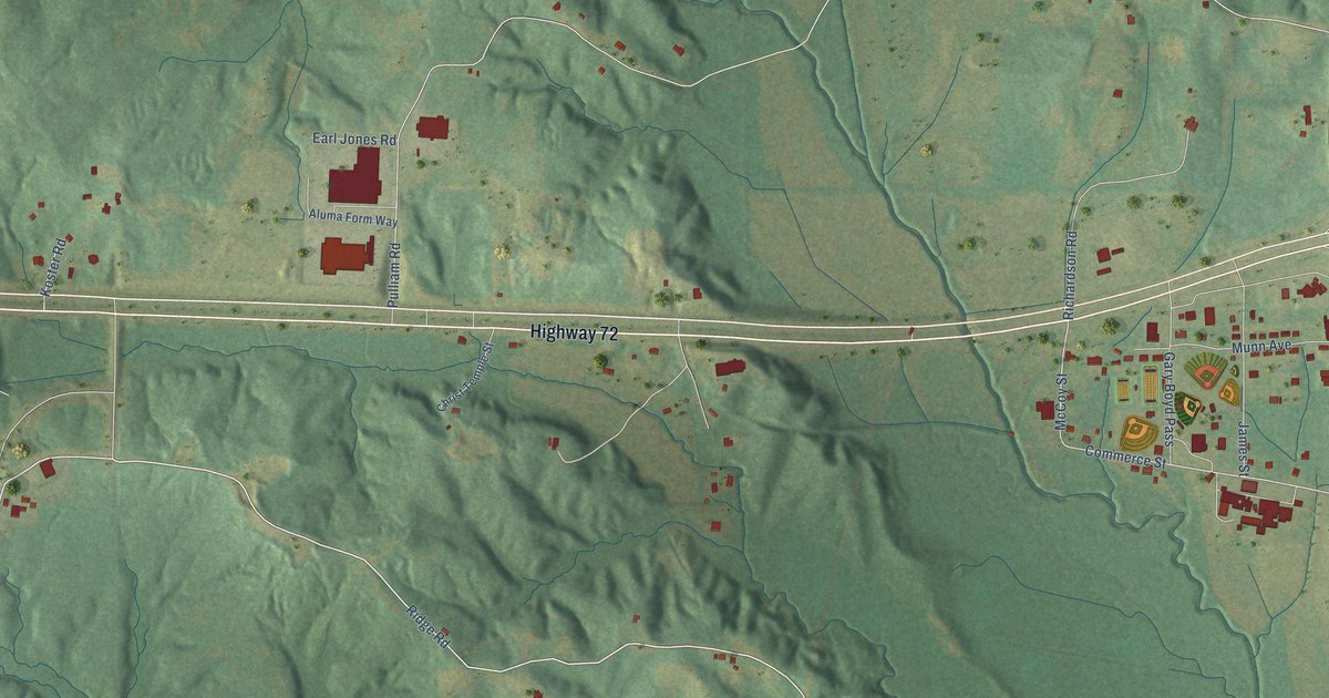
A detailed map of Walnut, Mississippi, showing every building in its true location, the roads by name, and shaded topographical relief.
Read More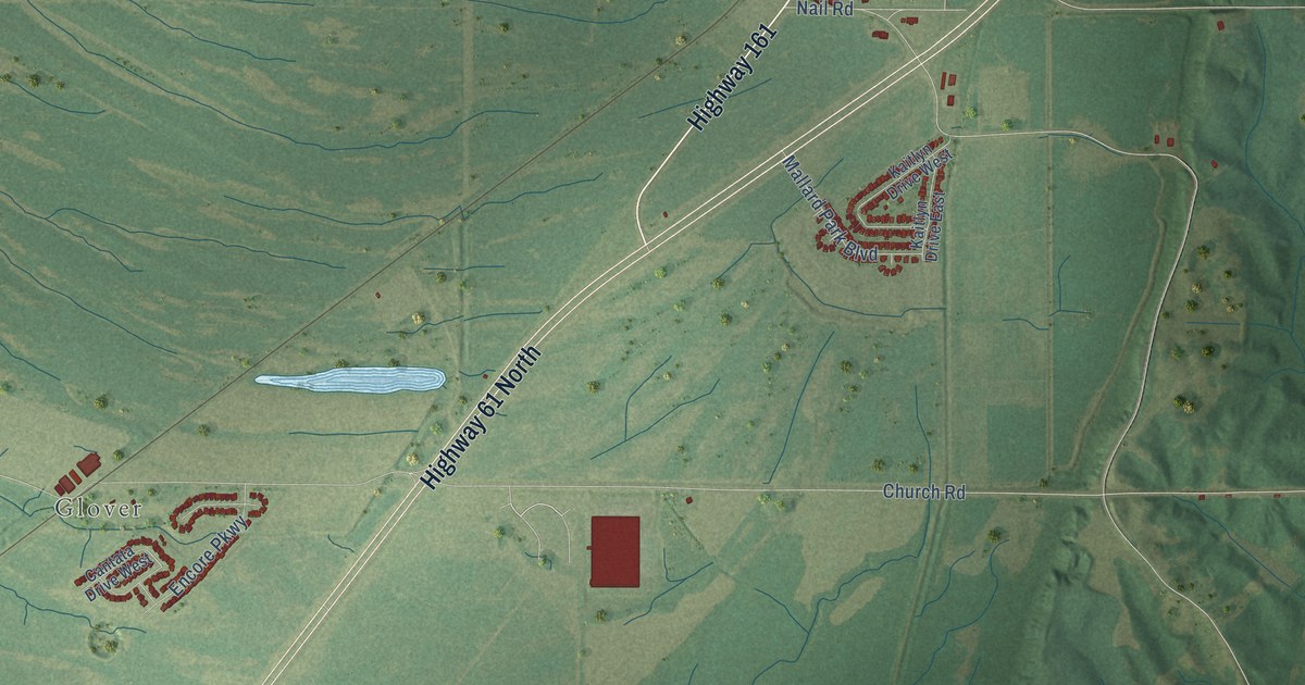
A detailed map of Walls, Mississippi, showing every building in its true location, the roads by name, and shaded topographical relief.
Read More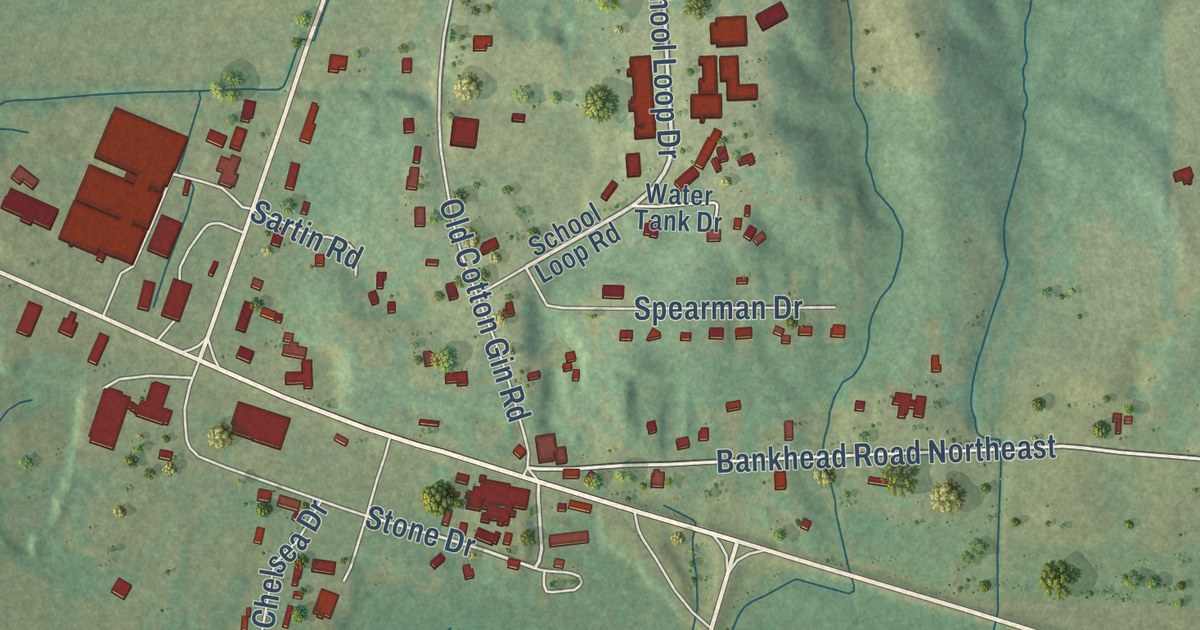
A detailed map of Tremont, Mississippi, showing every building in its true location, the roads by name, and shaded topographical relief.
Read More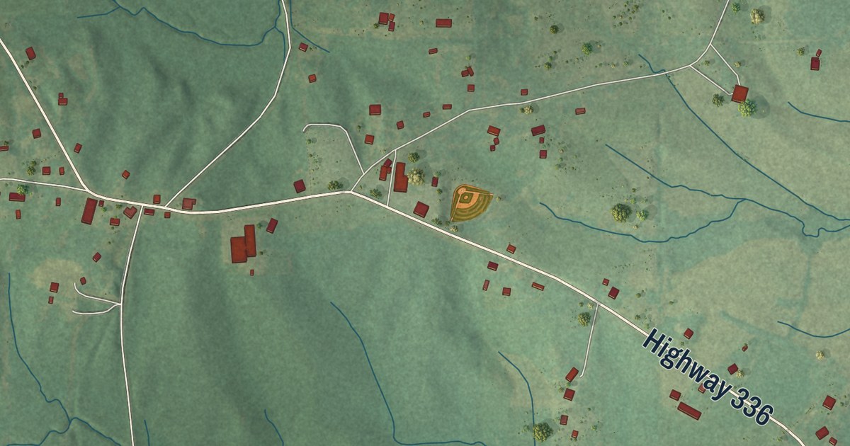
A detailed map of Thaxton, Mississippi, showing every building in its true location, the roads by name, and shaded topographical relief.
Read More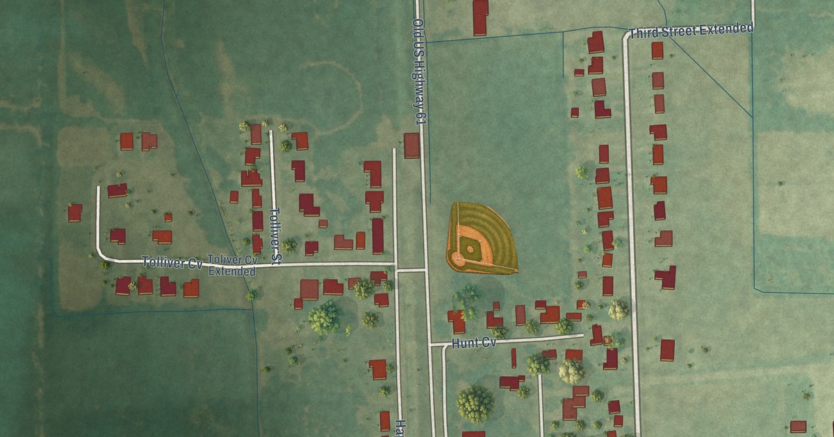
A detailed map of Renova, Mississippi, showing every building in its true location, the roads by name, and shaded topographical relief.
Read More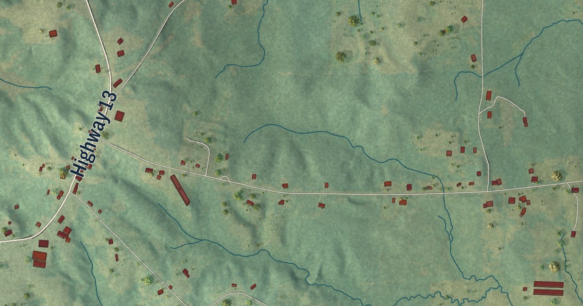
A detailed map of Polkville, Mississippi, showing every building in its true location, the roads by name, and shaded topographical relief.
Read More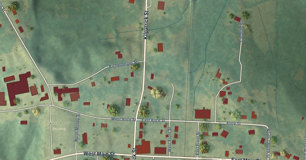
A detailed map of Noxapater, Mississippi, showing every building in its true location, the roads by name, and shaded topographical relief.
Read More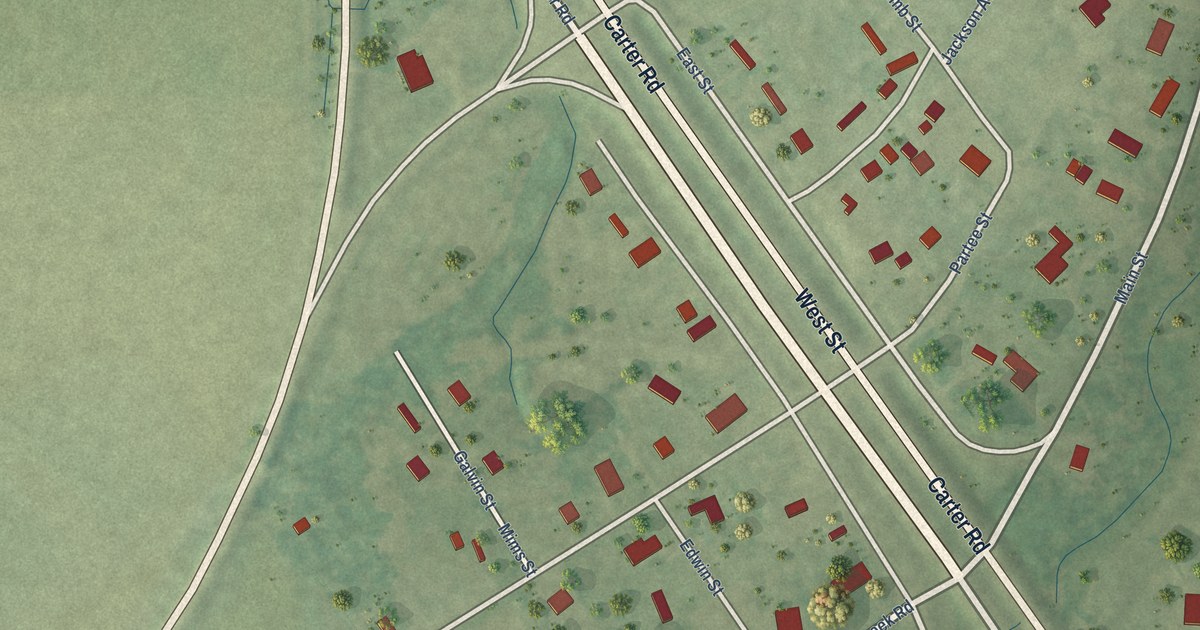
A detailed map of Silver City, Mississippi, showing every building in its true location, the roads by name, and shaded topographical relief.
Read More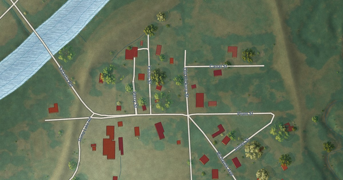
A detailed map of Satartia, Mississippi, showing every building in its true location, the roads by name, and shaded topographical relief.
Read More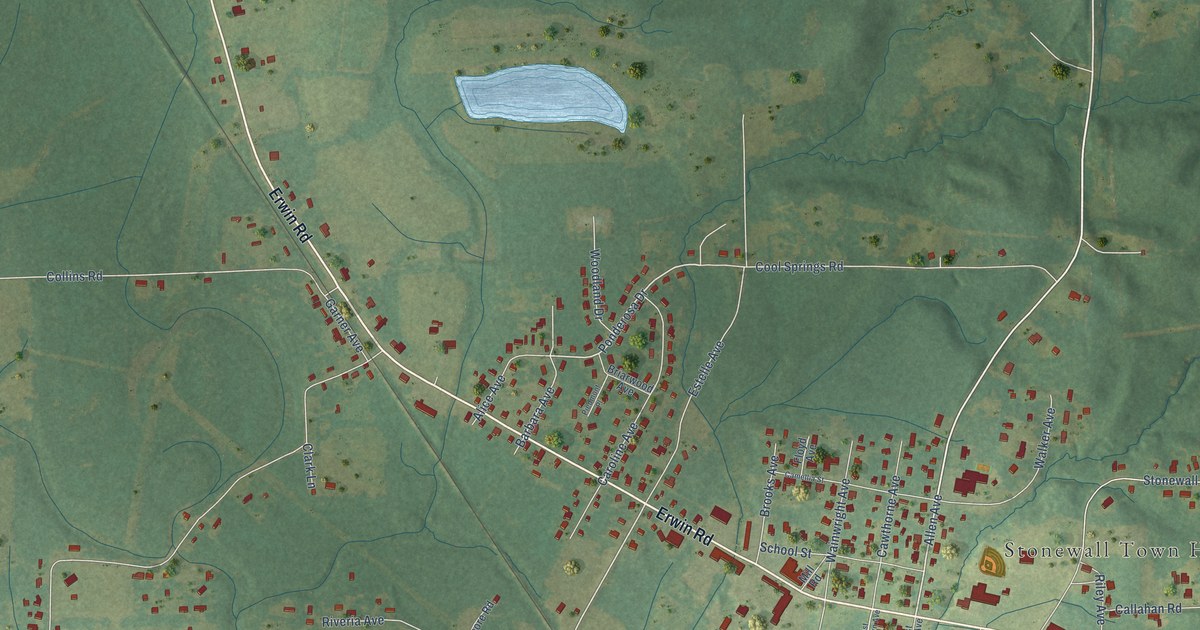
A detailed map of Stonewall, Mississippi, showing every building in its true location, the roads by name, and shaded topographical relief.
Read More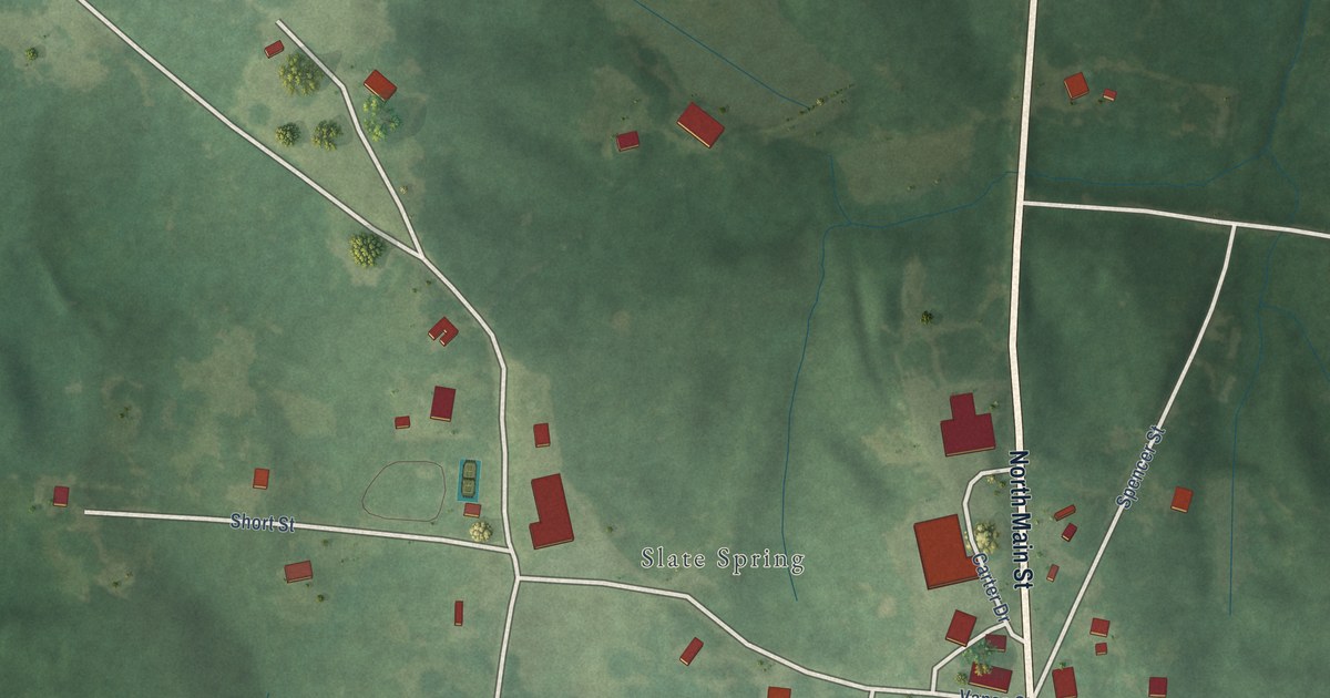
A detailed map of Slate Springs, Mississippi, showing every building in its true location, the roads by name, and shaded topographical relief.
Read More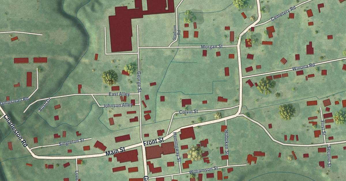
A detailed map of North Carrollton, Mississippi, showing every building in its true location, the roads by name, and shaded topographical relief.
Read More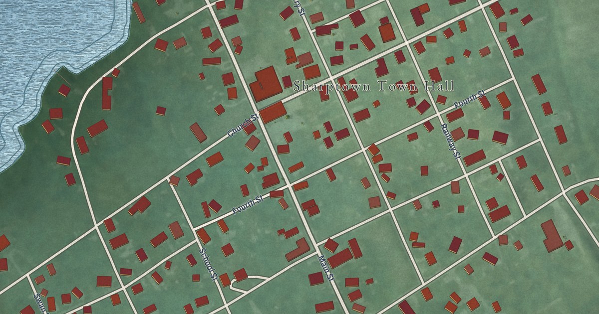
A detailed map of Sharptown, Maryland, showing every building in its true location, the roads by name, and shaded topographical relief.
Read More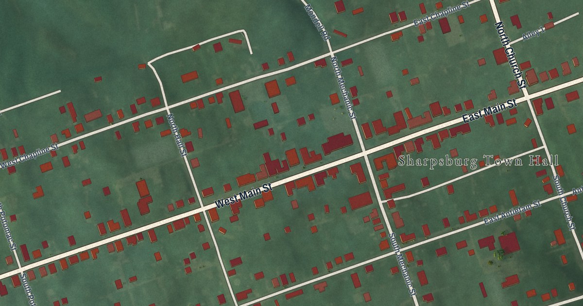
A detailed map of Sharpsburg, Maryland, showing every building in its true location, the roads by name, and shaded topographical relief.
Read More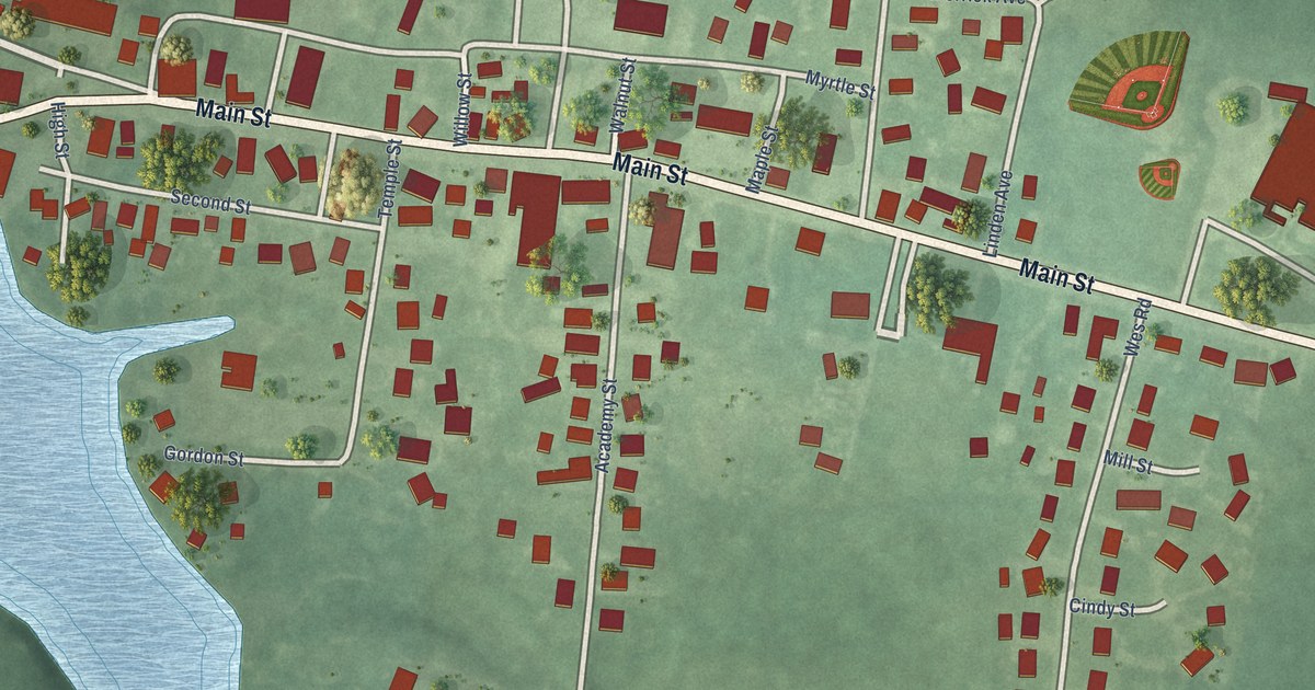
A detailed map of Secretary, Maryland, showing every building in its true location, the roads by name, and shaded topographical relief.
Read More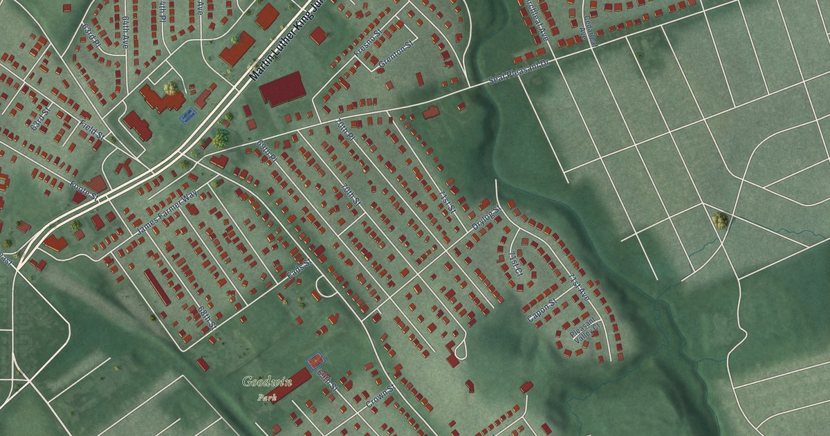
A detailed map of Seat Pleasant, Maryland, showing every building in its true location, the roads by name, and shaded topographical relief.
Read More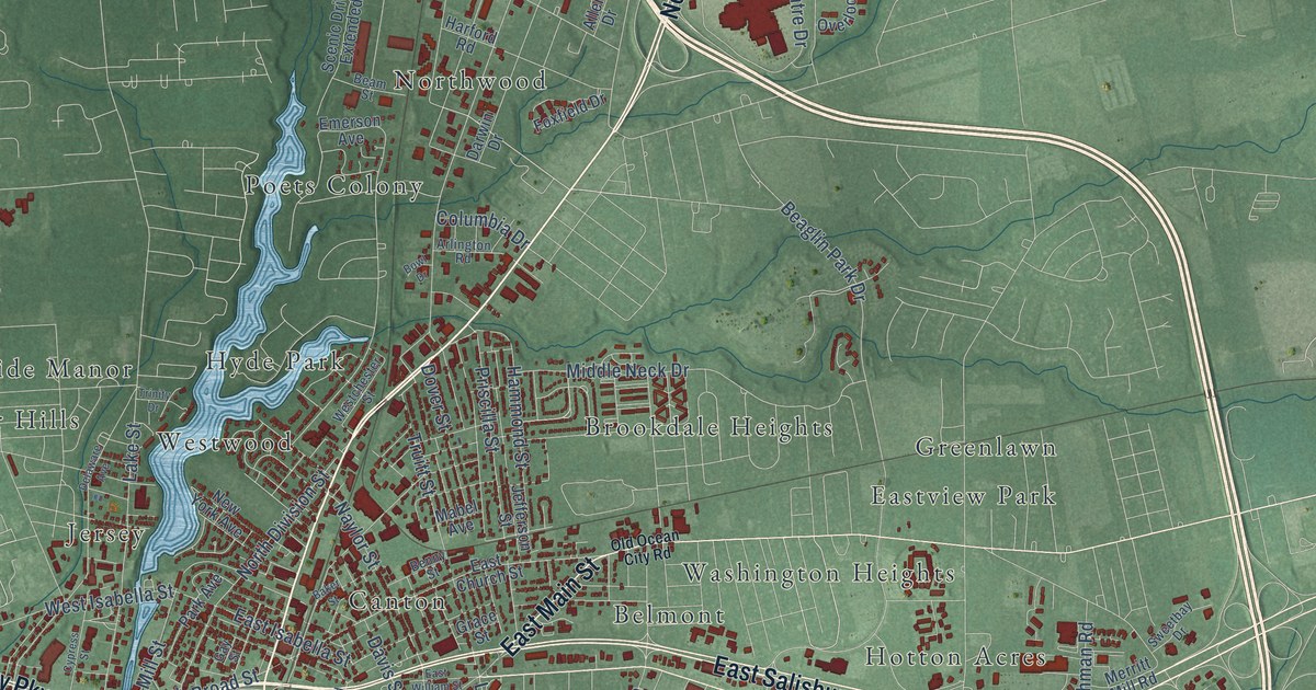
A detailed map of Salisbury, Maryland, showing every building in its true location, the roads by name, and shaded topographical relief.
Read More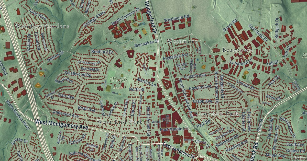
A detailed map of Rockville, Maryland, showing every building in its true location, the roads by name, and shaded topographical relief.
Read More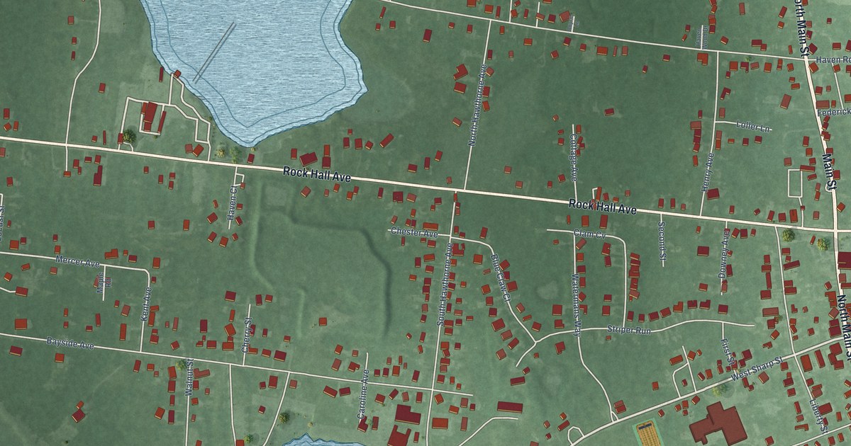
A detailed map of Rock Hall, Maryland, showing every building in its true location, the roads by name, and shaded topographical relief.
Read More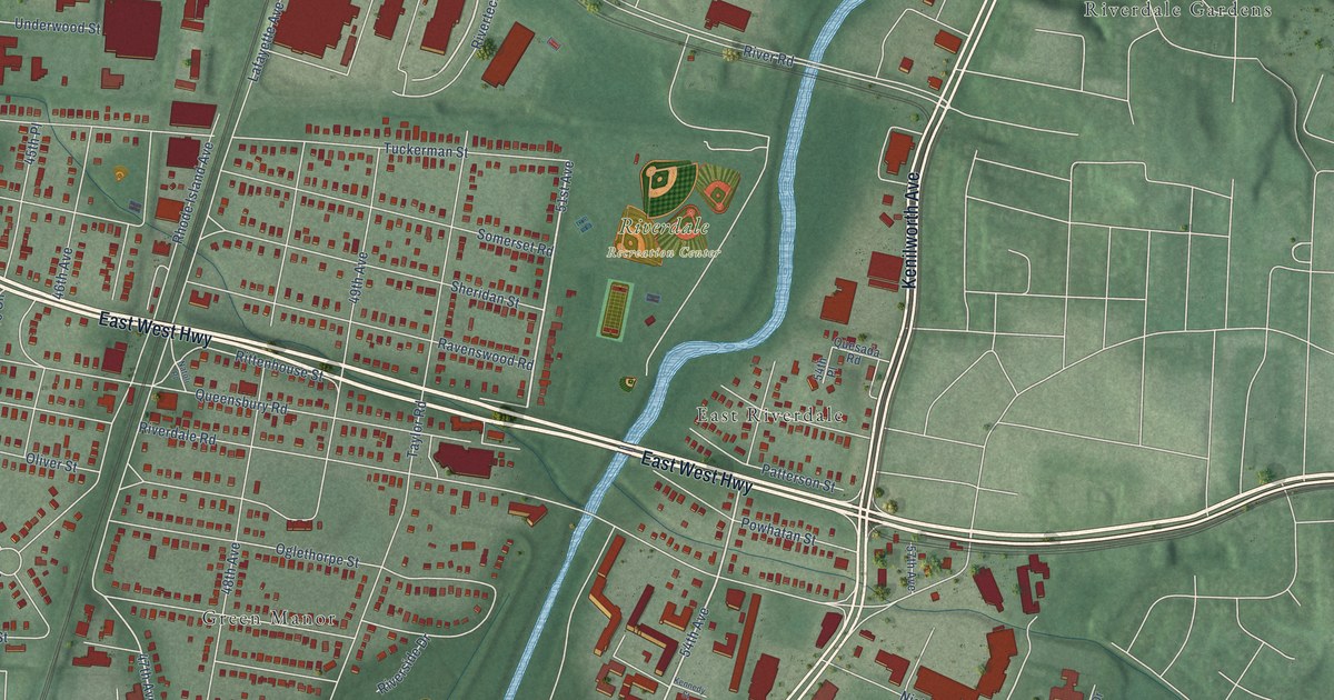
A detailed map of Riverdale Park, Maryland, showing every building in its true location, the roads by name, and shaded topographical relief.
Read More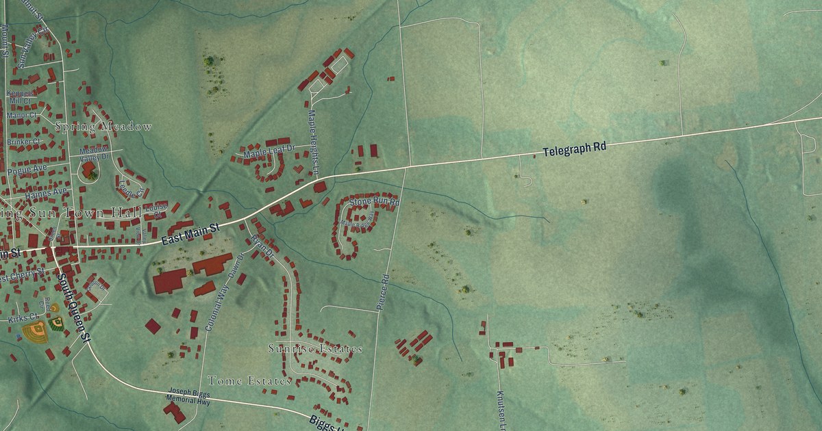
A detailed map of Rising Sun, Maryland, showing every building in its true location, the roads by name, and shaded topographical relief.
Read More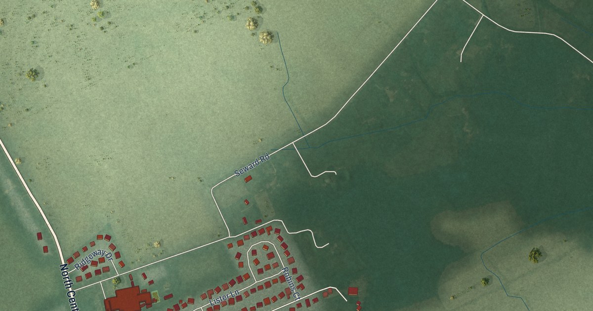
A detailed map of Ridgely, Maryland, showing every building in its true location, the roads by name, and shaded topographical relief.
Read More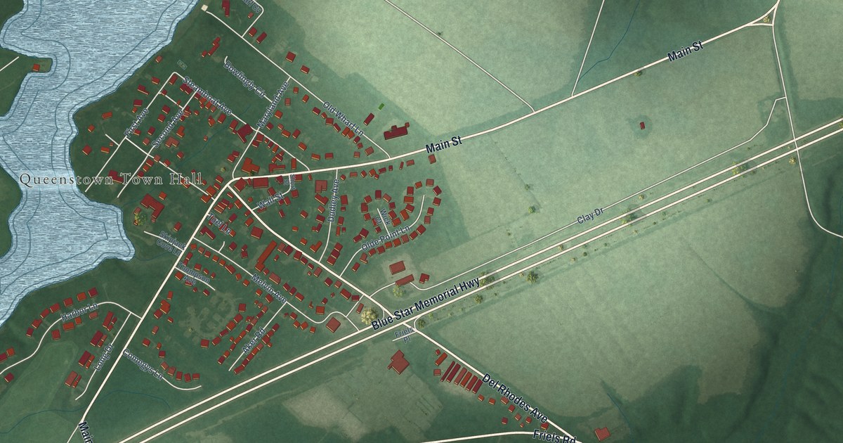
A detailed map of Queenstown, Maryland, showing every building in its true location, the roads by name, and shaded topographical relief.
Read More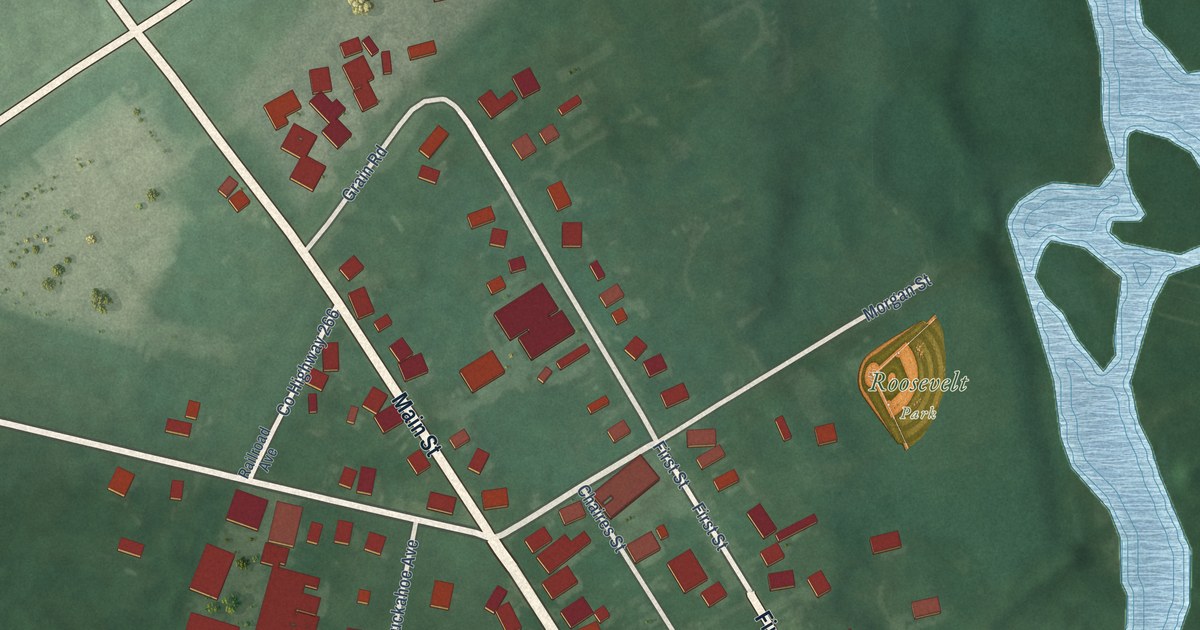
A detailed map of Queen Anne, Maryland, showing every building in its true location, the roads by name, and shaded topographical relief.
Read More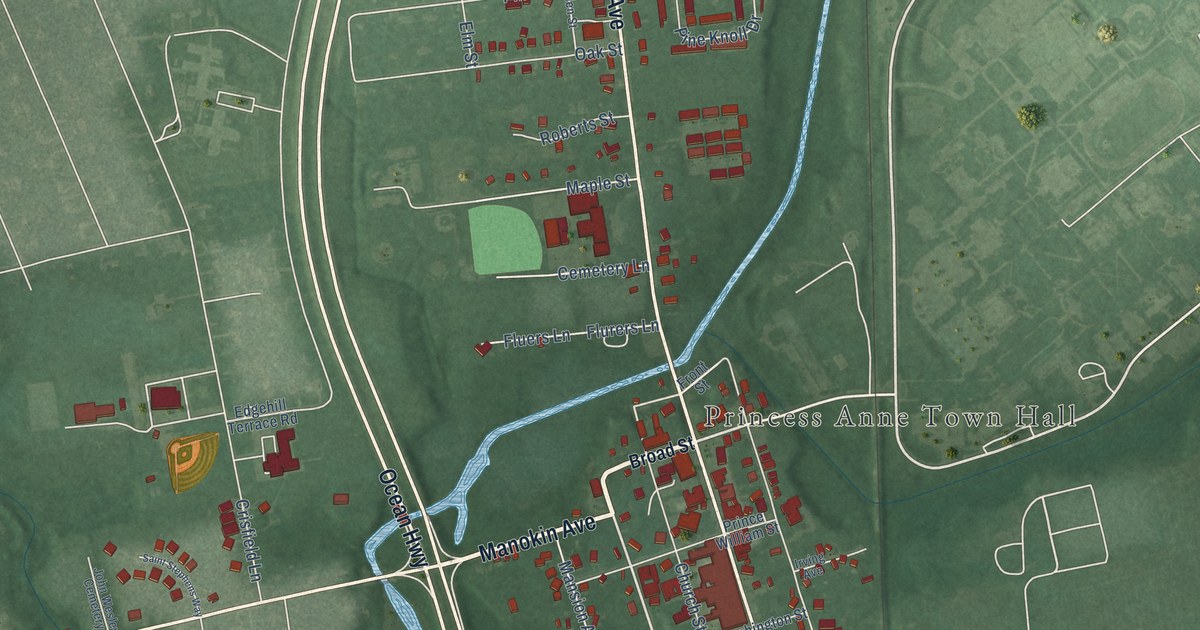
A detailed map of Princess Anne, Maryland, showing every building in its true location, the roads by name, and shaded topographical relief.
Read More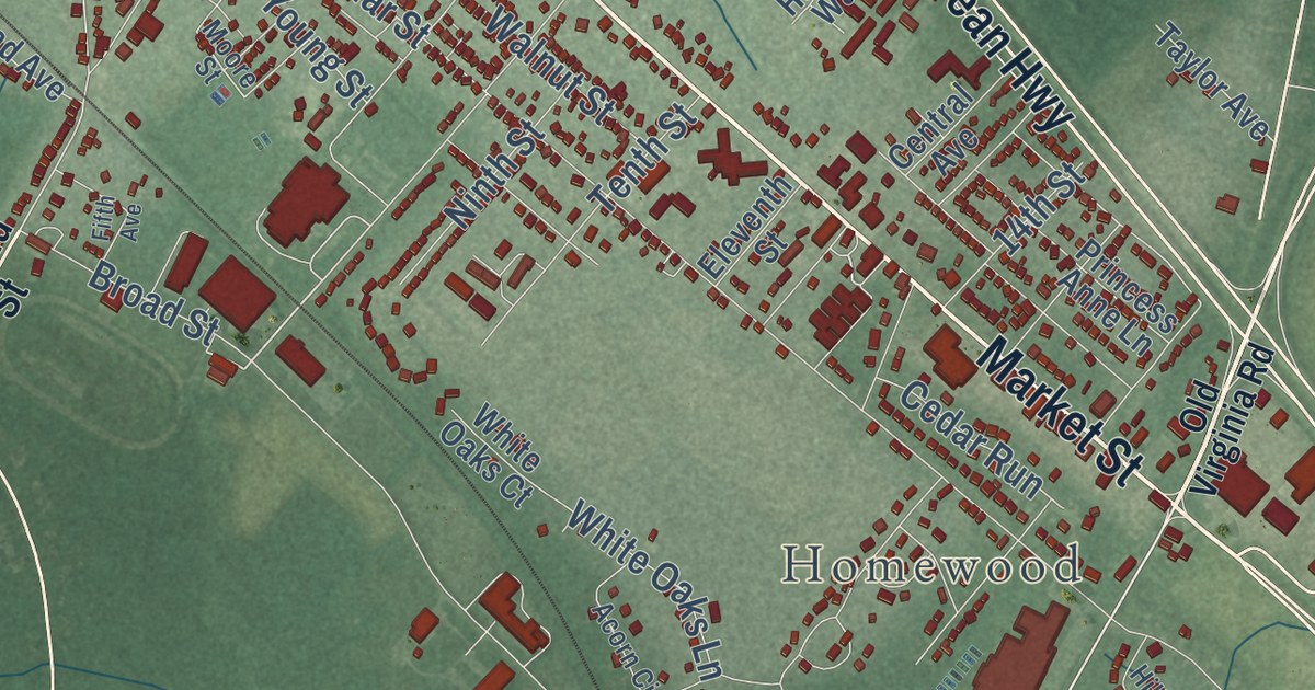
A detailed map of Pocomoke City, Maryland, showing every building in its true location, the roads by name, and shaded topographical relief.
Read More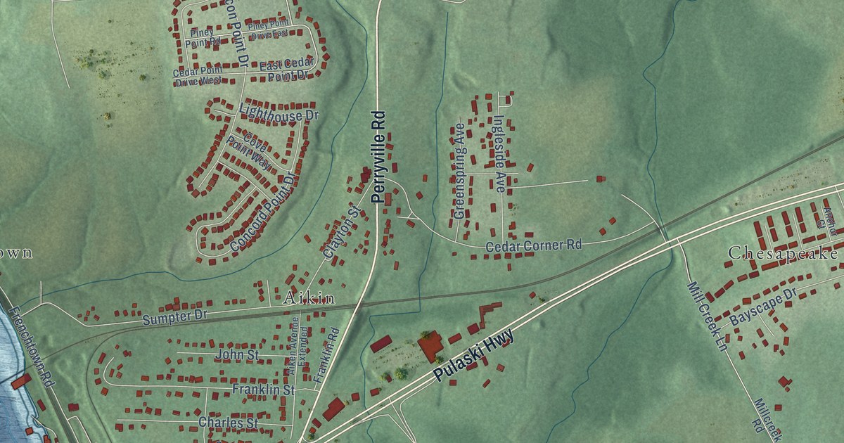
A detailed map of Perryville, Maryland, showing every building in its true location, the roads by name, and shaded topographical relief.
Read More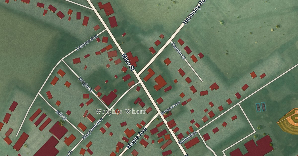
A detailed map of Preston, Maryland, showing every building in its true location, the roads by name, and shaded topographical relief.
Read More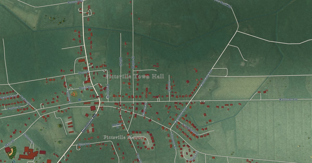
A detailed map of Pittsville, Maryland, showing every building in its true location, the roads by name, and shaded topographical relief.
Read More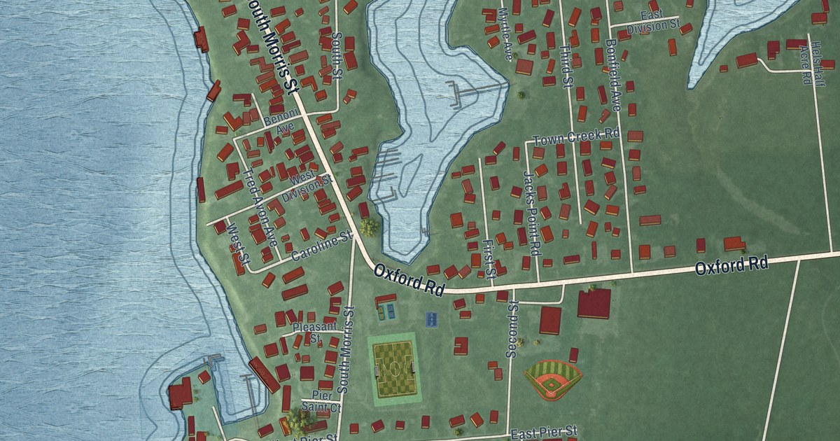
A detailed map of Oxford, Maryland, showing every building in its true location, the roads by name, and shaded topographical relief.
Read More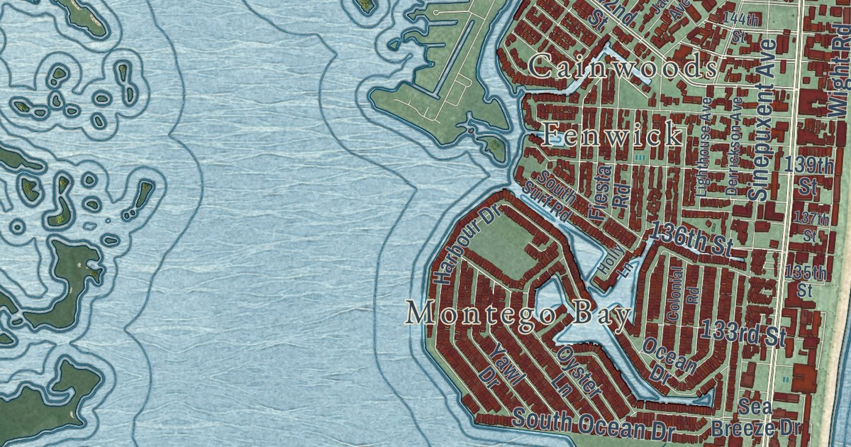
A detailed map of Ocean City, Maryland, showing every building in its true location, the roads by name, and shaded topographical relief.
Read More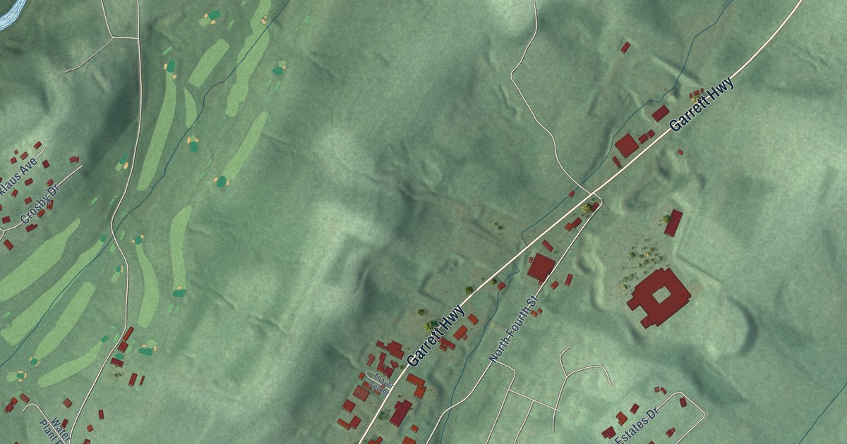
A detailed map of Oakland, Maryland, showing every building in its true location, the roads by name, and shaded topographical relief.
Read More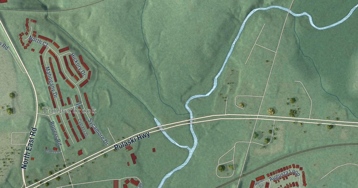
A detailed map of North East, Maryland, showing every building in its true location, the roads by name, and shaded topographical relief.
Read More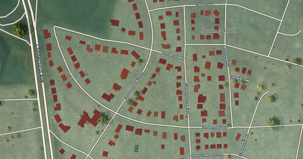
A detailed map of North Chevy Chase, Maryland, showing every building in its true location, the roads by name, and shaded topographical relief.
Read More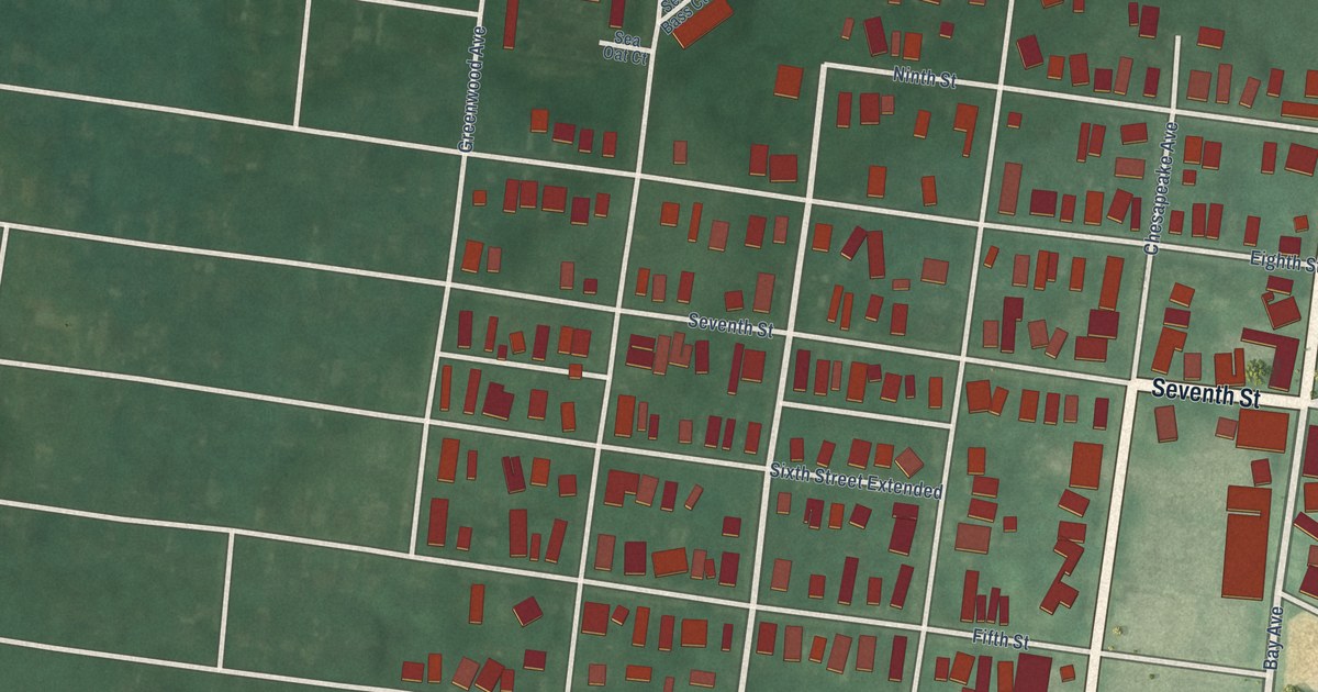
A detailed map of North Beach, Maryland, showing every building in its true location, the roads by name, and shaded topographical relief.
Read More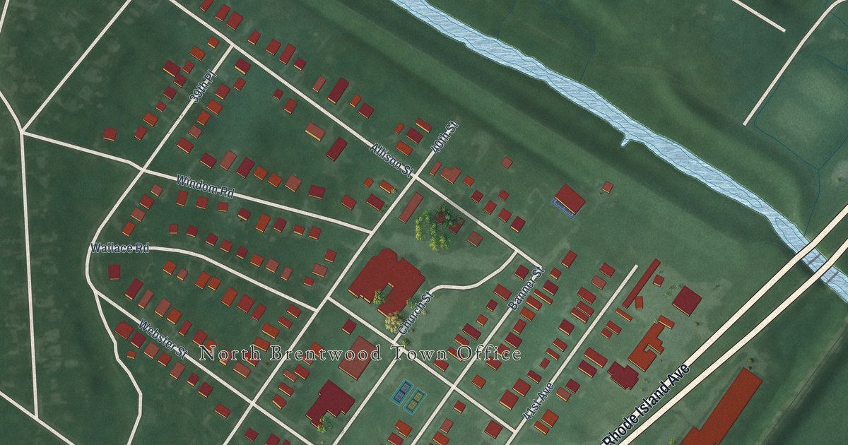
A detailed map of North Brentwood, Maryland, showing every building in its true location, the roads by name, and shaded topographical relief.
Read More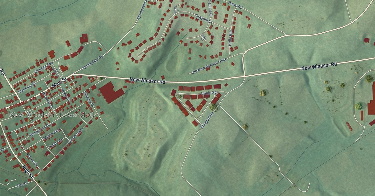
A detailed map of New Windsor, Maryland, showing every building in its true location, the roads by name, and shaded topographical relief.
Read More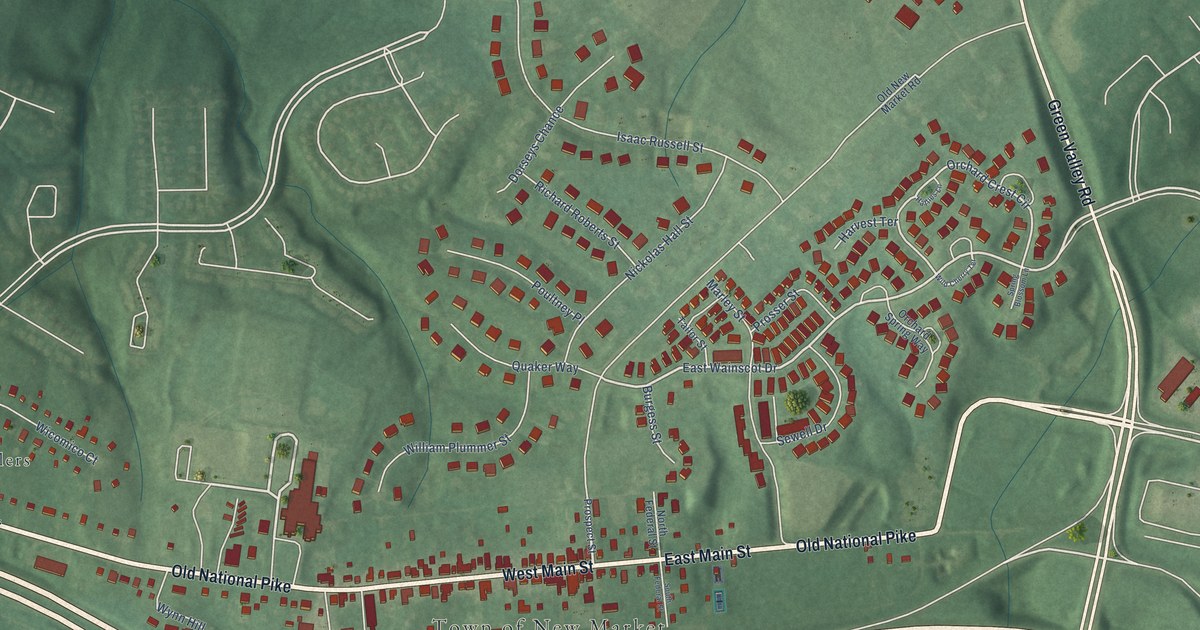
A detailed map of New Market, Maryland, showing every building in its true location, the roads by name, and shaded topographical relief.
Read More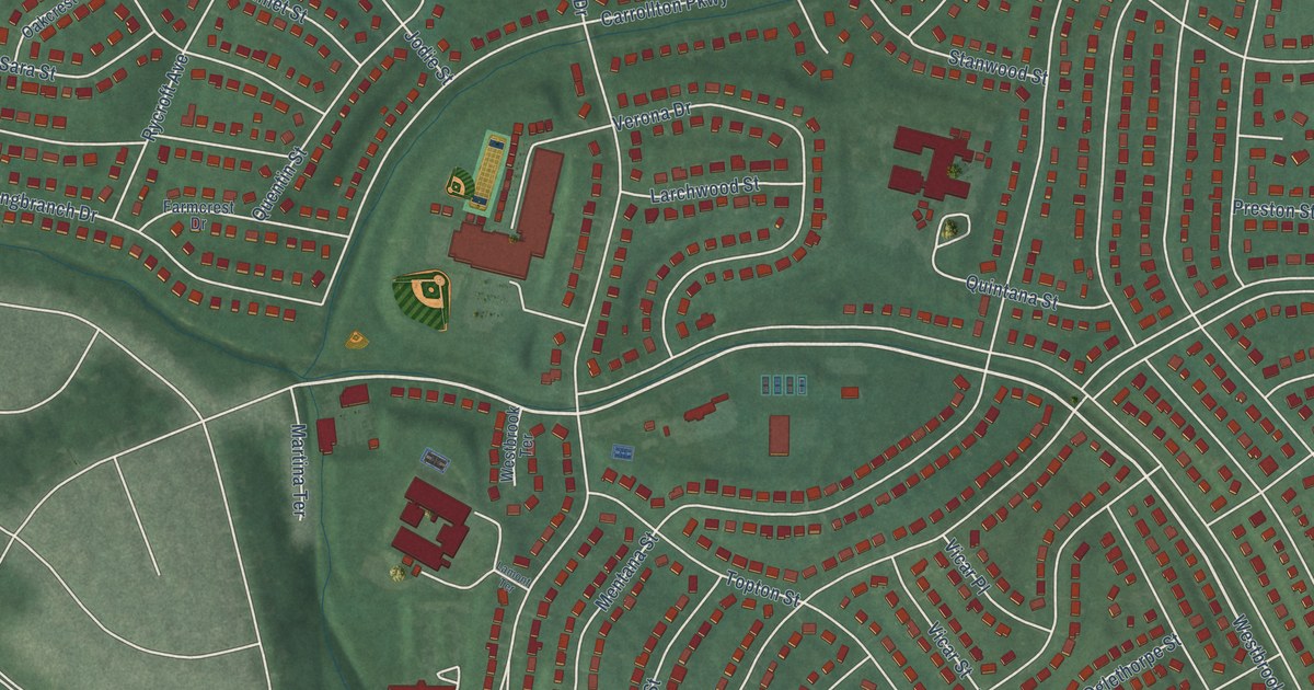
A detailed map of New Carrollton, Maryland, showing every building in its true location, the roads by name, and shaded topographical relief.
Read More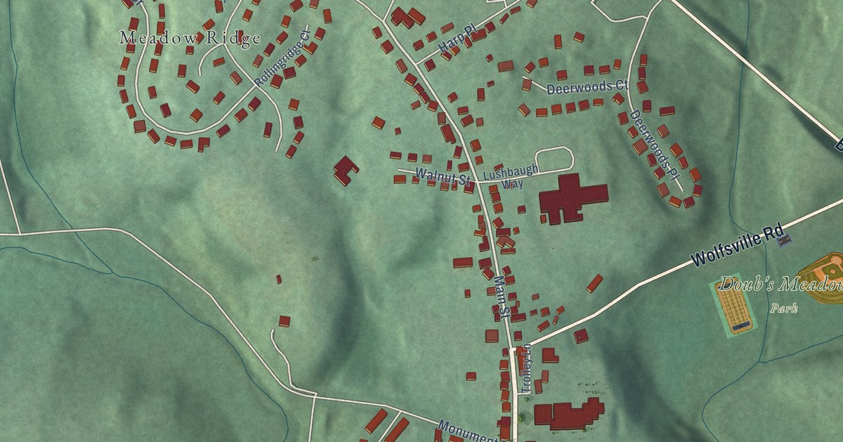
A detailed map of Myersville, Maryland, showing every building in its true location, the roads by name, and shaded topographical relief.
Read More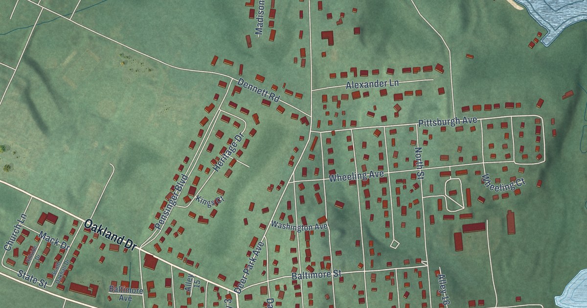
A detailed map of Mountain Lake Park, Maryland, showing every building in its true location, the roads by name, and shaded topographical relief.
Read More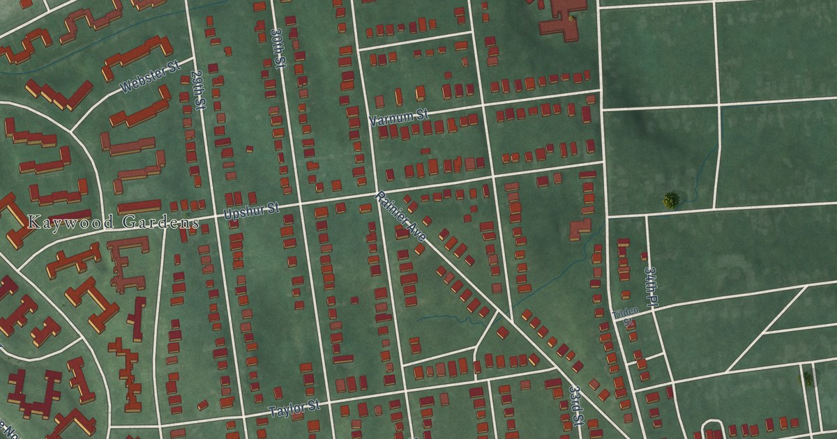
A detailed map of Mount Rainier, Maryland, showing every building in its true location, the roads by name, and shaded topographical relief.
Read More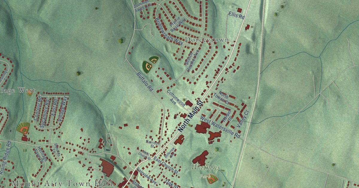
A detailed map of Mount Airy, Maryland, showing every building in its true location, the roads by name, and shaded topographical relief.
Read More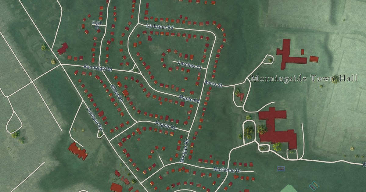
A detailed map of Morningside, Maryland, showing every building in its true location, the roads by name, and shaded topographical relief.
Read More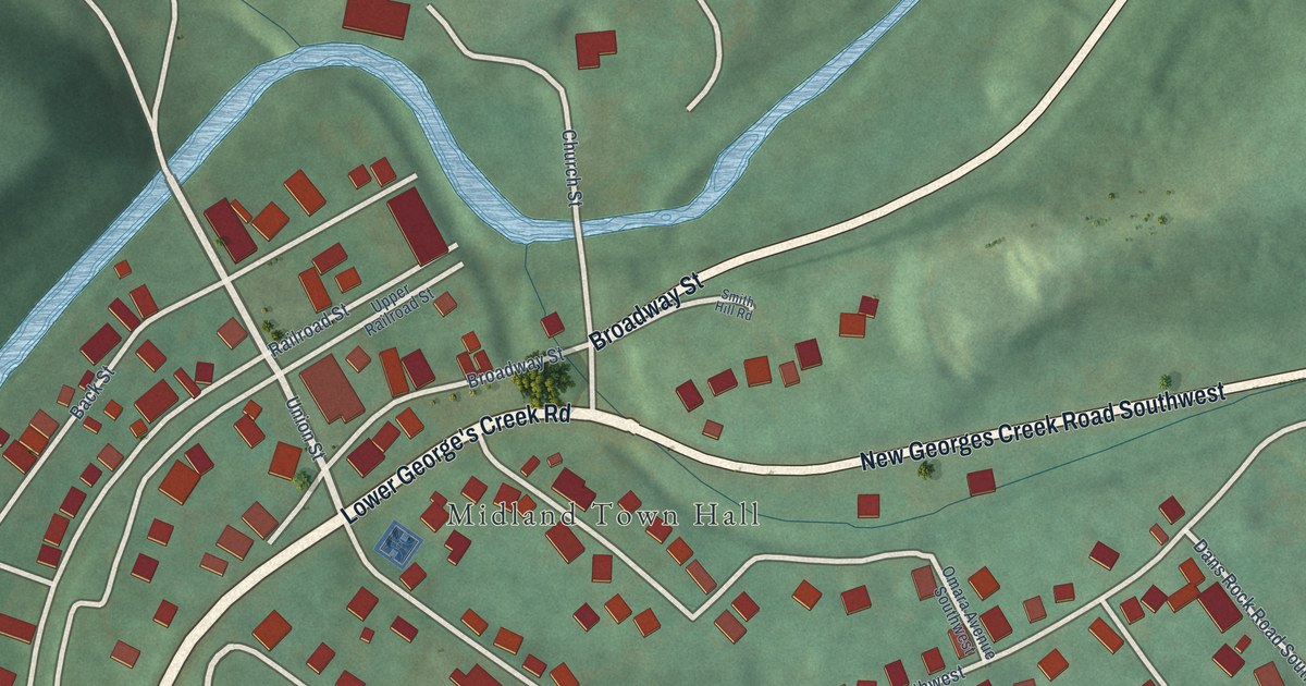
A detailed map of Midland, Maryland, showing every building in its true location, the roads by name, and shaded topographical relief.
Read More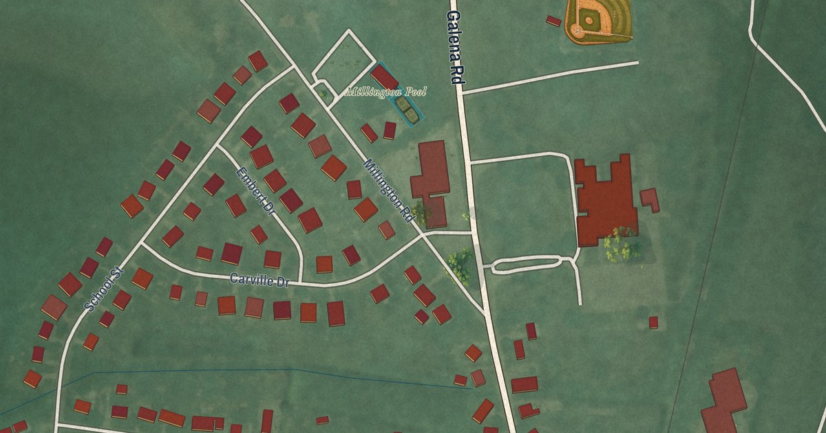
A detailed map of Millington, Maryland, showing every building in its true location, the roads by name, and shaded topographical relief.
Read More















