Detailed Map of Middletown, Maryland
A detailed map of Middletown, Maryland, showing every building in its true location, the roads by name, and shaded topographical relief.
Read More
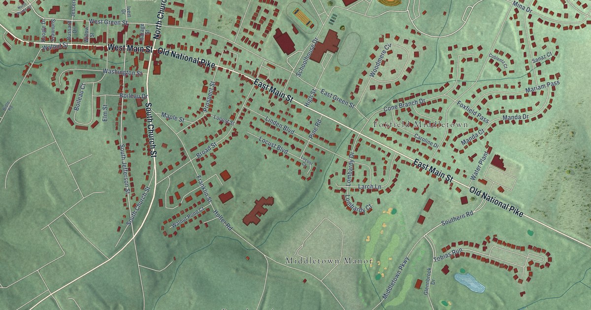
A detailed map of Middletown, Maryland, showing every building in its true location, the roads by name, and shaded topographical relief.
Read More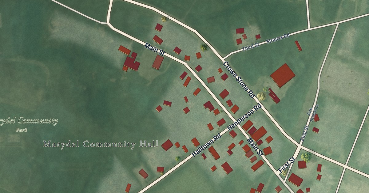
A detailed map of Marydel, Maryland, showing every building in its true location, the roads by name, and shaded topographical relief.
Read More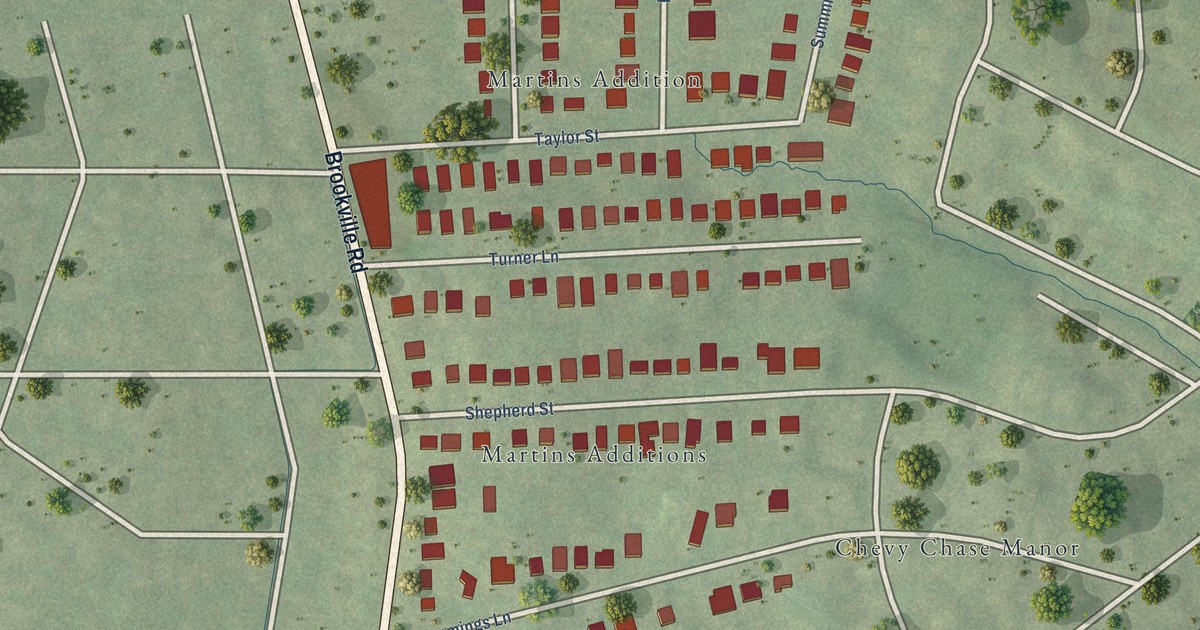
A detailed map of Martin’s Additions, Maryland, showing every building in its true location, the roads by name, and shaded topographical relief.
Read More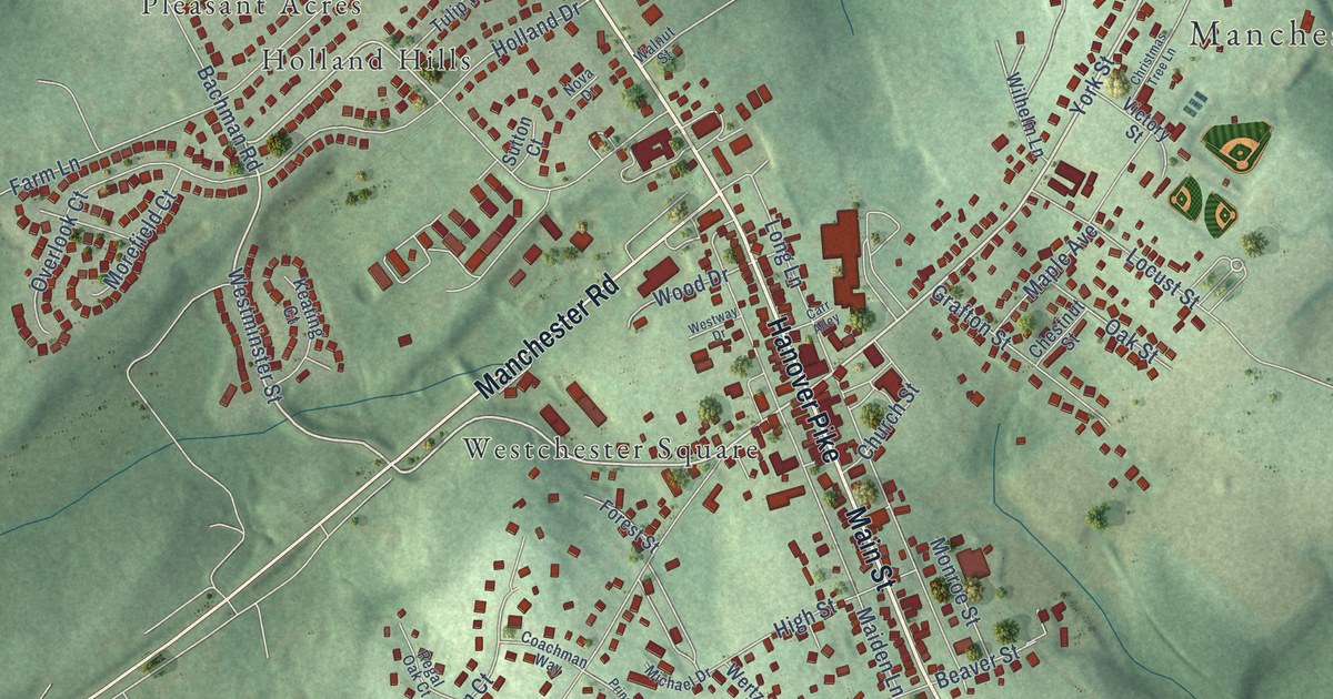
A detailed map of Manchester, Maryland, showing every building in its true location, the roads by name, and shaded topographical relief.
Read More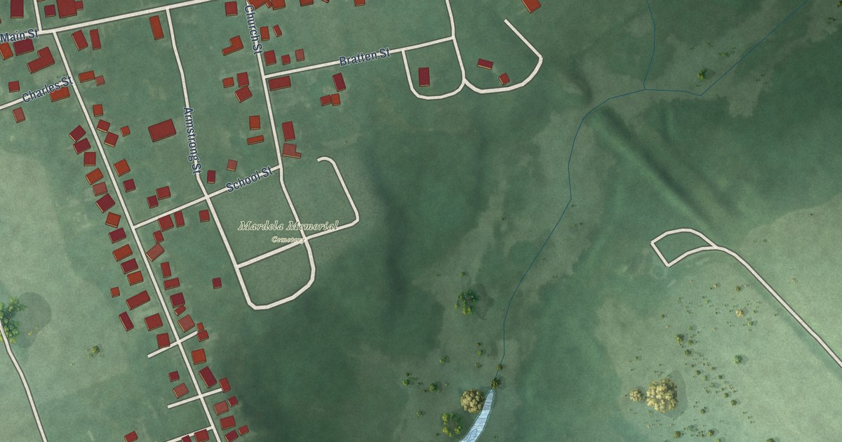
A detailed map of Mardela Springs, Maryland, showing every building in its true location, the roads by name, and shaded topographical relief.
Read More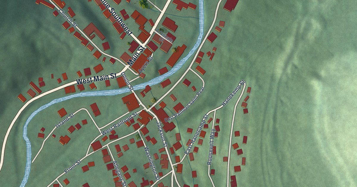
A detailed map of Lonaconing, Maryland, showing every building in its true location, the roads by name, and shaded topographical relief.
Read More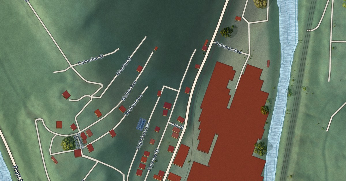
A detailed map of Luke, Maryland, showing every building in its true location, the roads by name, and shaded topographical relief.
Read More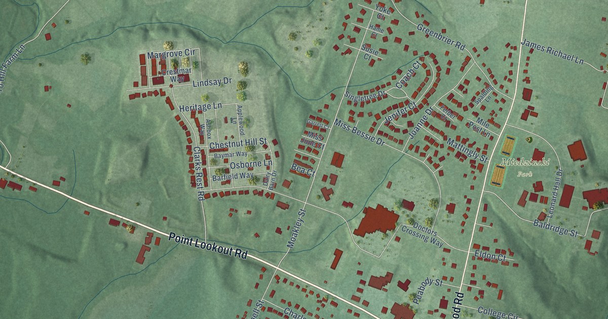
A detailed map of Leonardtown, Maryland, showing every building in its true location, the roads by name, and shaded topographical relief.
Read More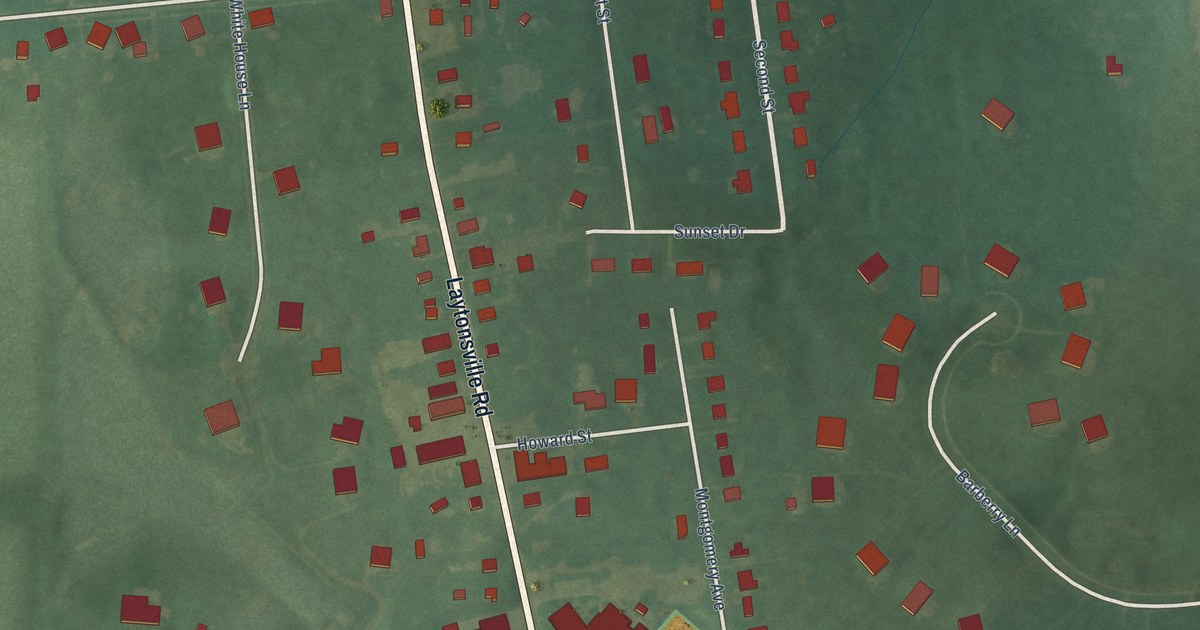
A detailed map of Laytonsville, Maryland, showing every building in its true location, the roads by name, and shaded topographical relief.
Read More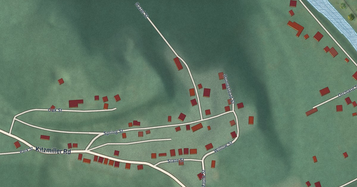
A detailed map of Kitzmiller, Maryland, showing every building in its true location, the roads by name, and shaded topographical relief.
Read More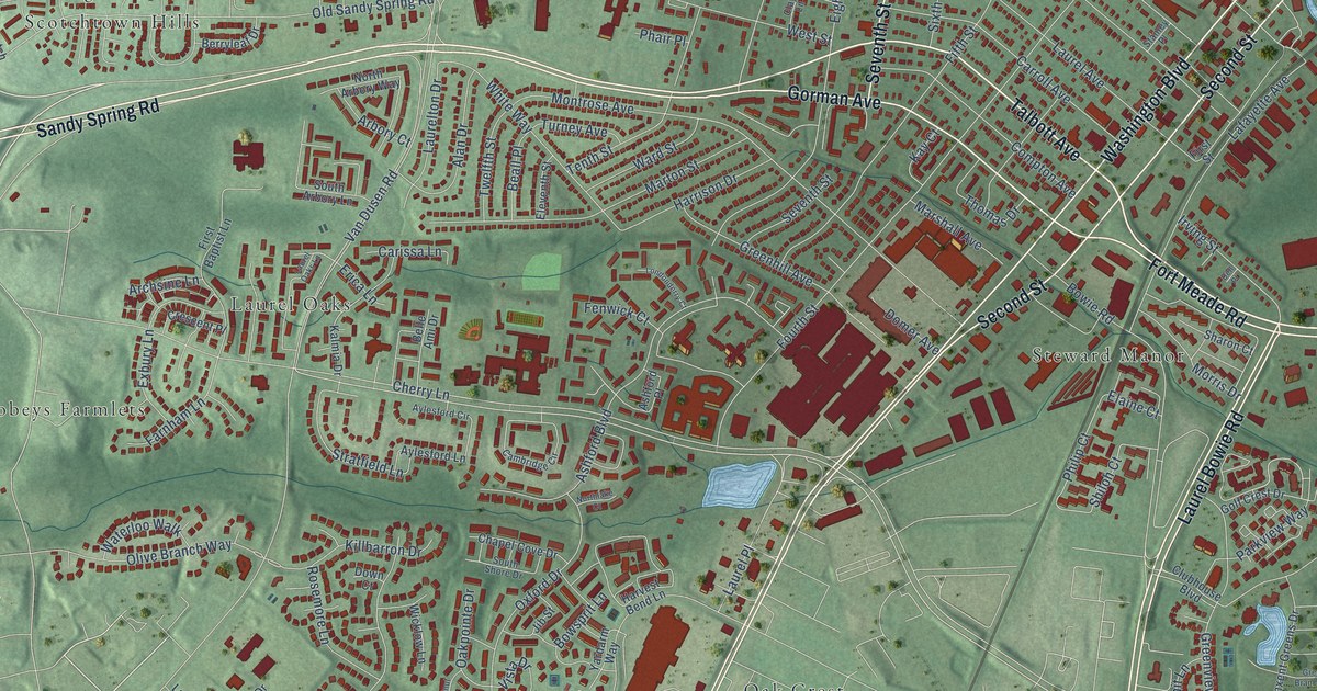
A detailed map of Laurel, Maryland, showing every building in its true location, the roads by name, and shaded topographical relief.
Read More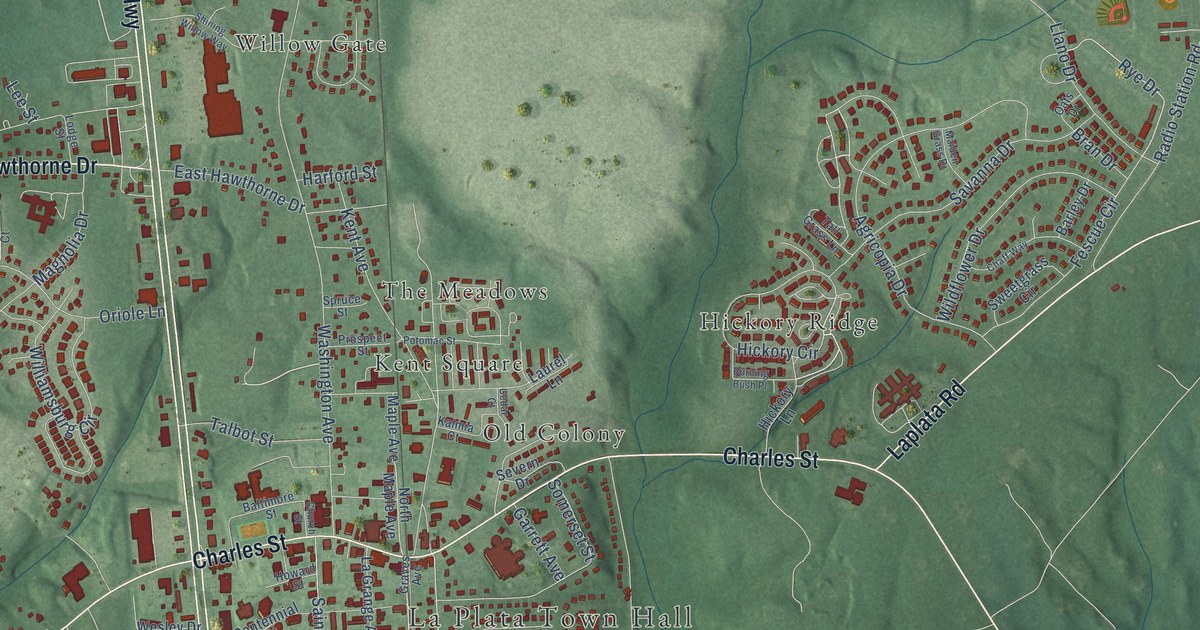
A detailed map of La Plata, Maryland, showing every building in its true location, the roads by name, and shaded topographical relief.
Read More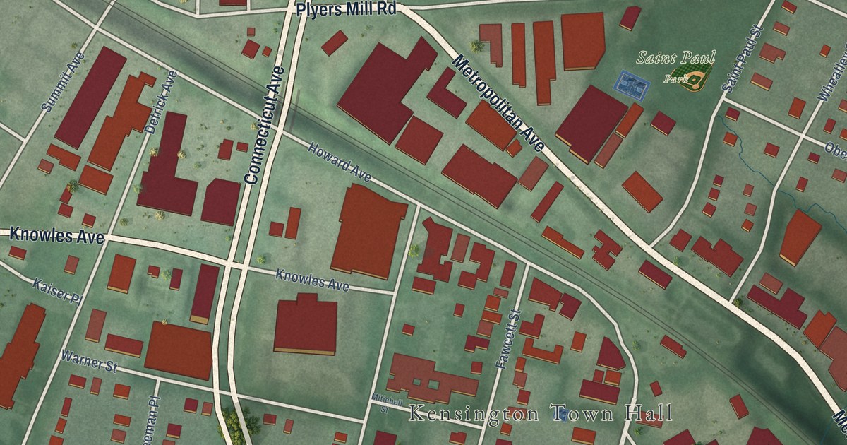
A detailed map of Kensington, Maryland, showing every building in its true location, the roads by name, and shaded topographical relief.
Read More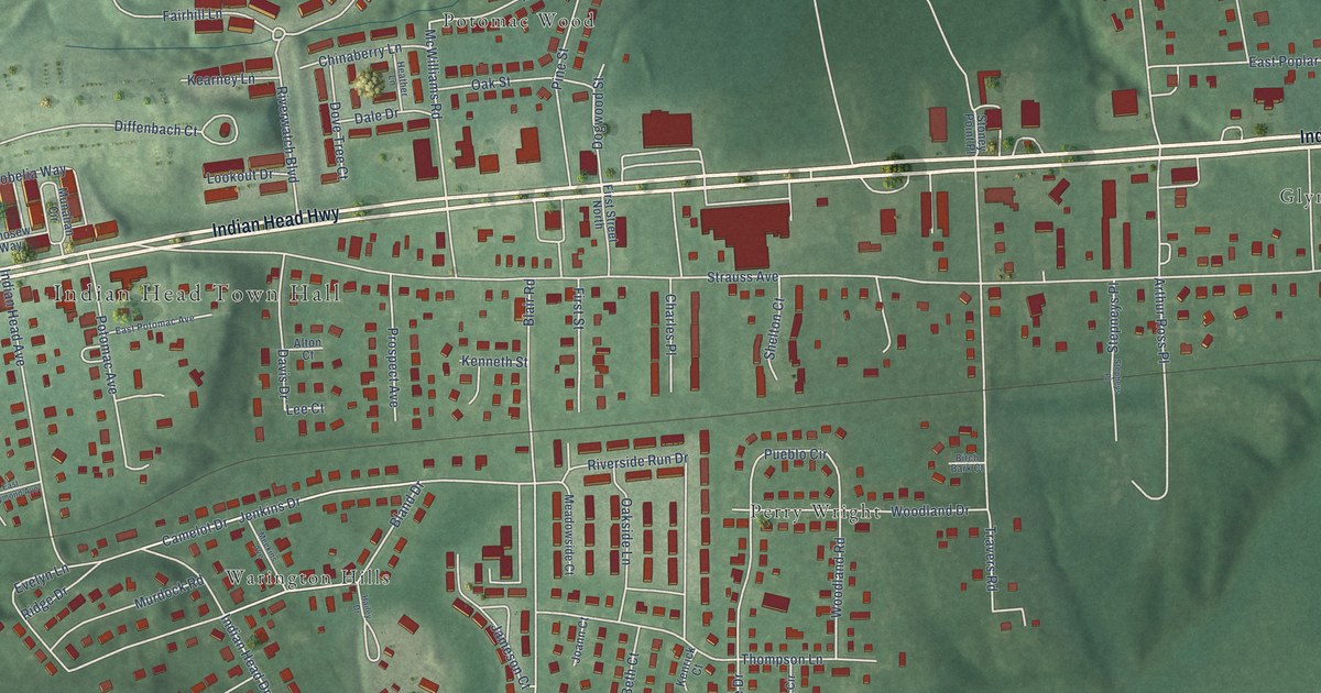
A detailed map of Indian Head, Maryland, showing every building in its true location, the roads by name, and shaded topographical relief.
Read More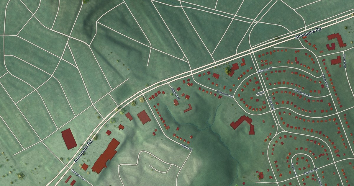
A detailed map of Landover Hills, Maryland, showing every building in its true location, the roads by name, and shaded topographical relief.
Read More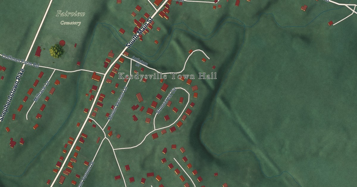
A detailed map of Keedysville, Maryland, showing every building in its true location, the roads by name, and shaded topographical relief.
Read More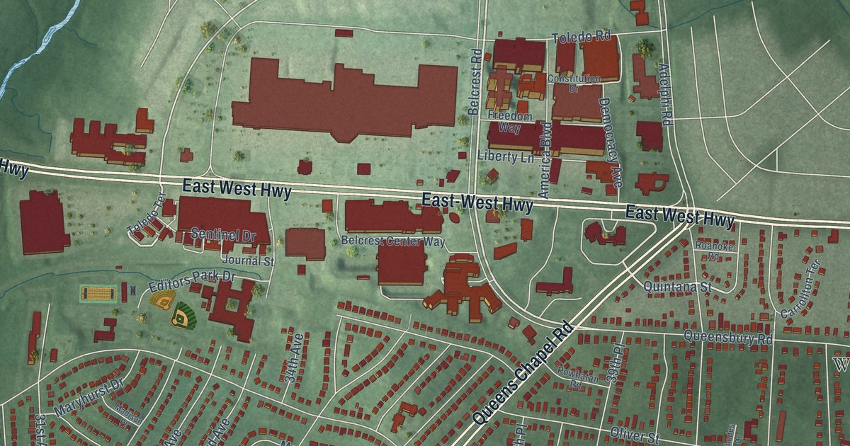
A detailed map of Hyattsville, Maryland, showing every building in its true location, the roads by name, and shaded topographical relief.
Read More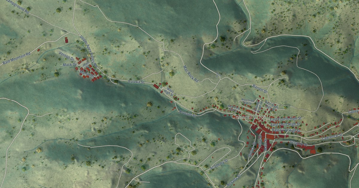
A detailed map of Central City, Colorado, showing every building in its true location, the roads by name, and shaded topographical relief.
Read More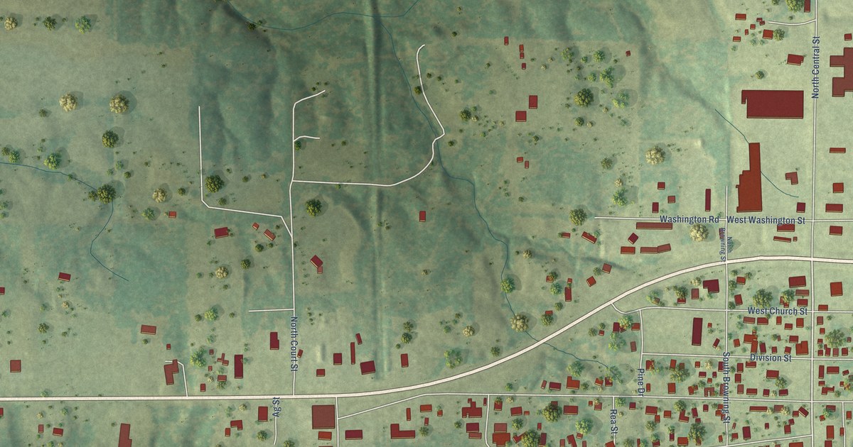
A detailed map of West City, Illinois, showing every building in its true location, the roads by name, and shaded topographical relief.
Read More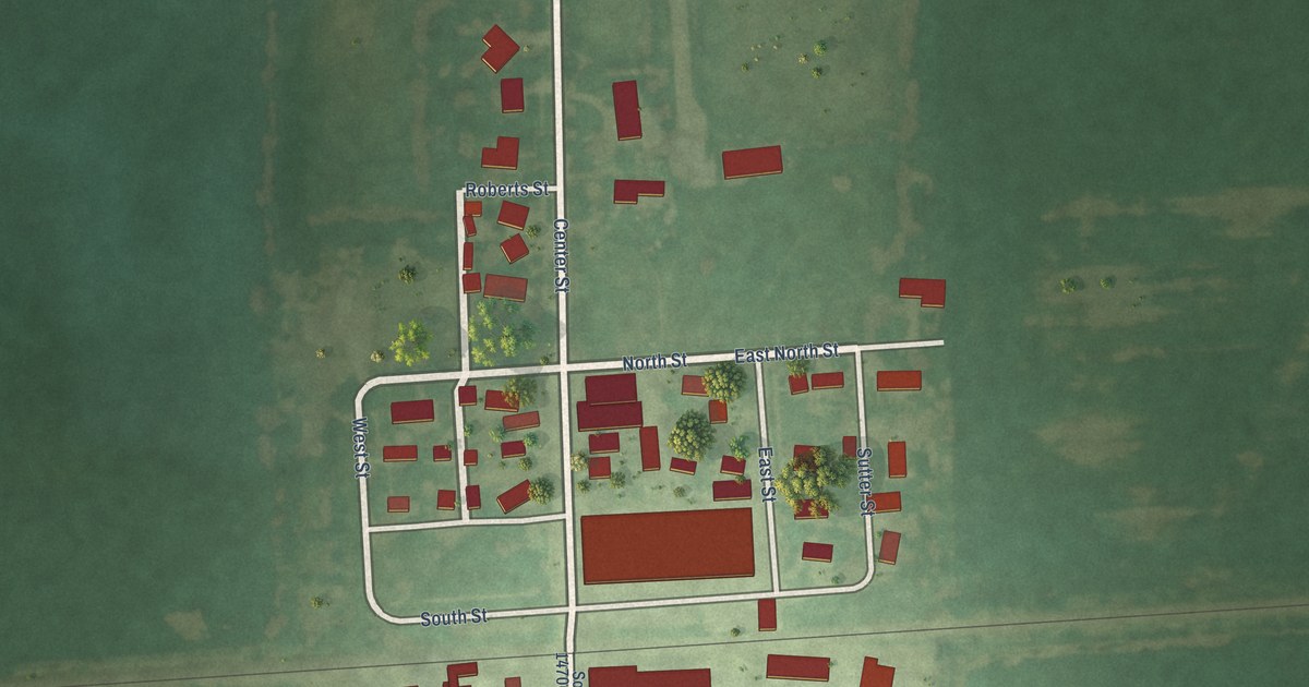
A detailed map of Union Hill, Illinois, showing every building in its true location, the roads by name, and shaded topographical relief.
Read More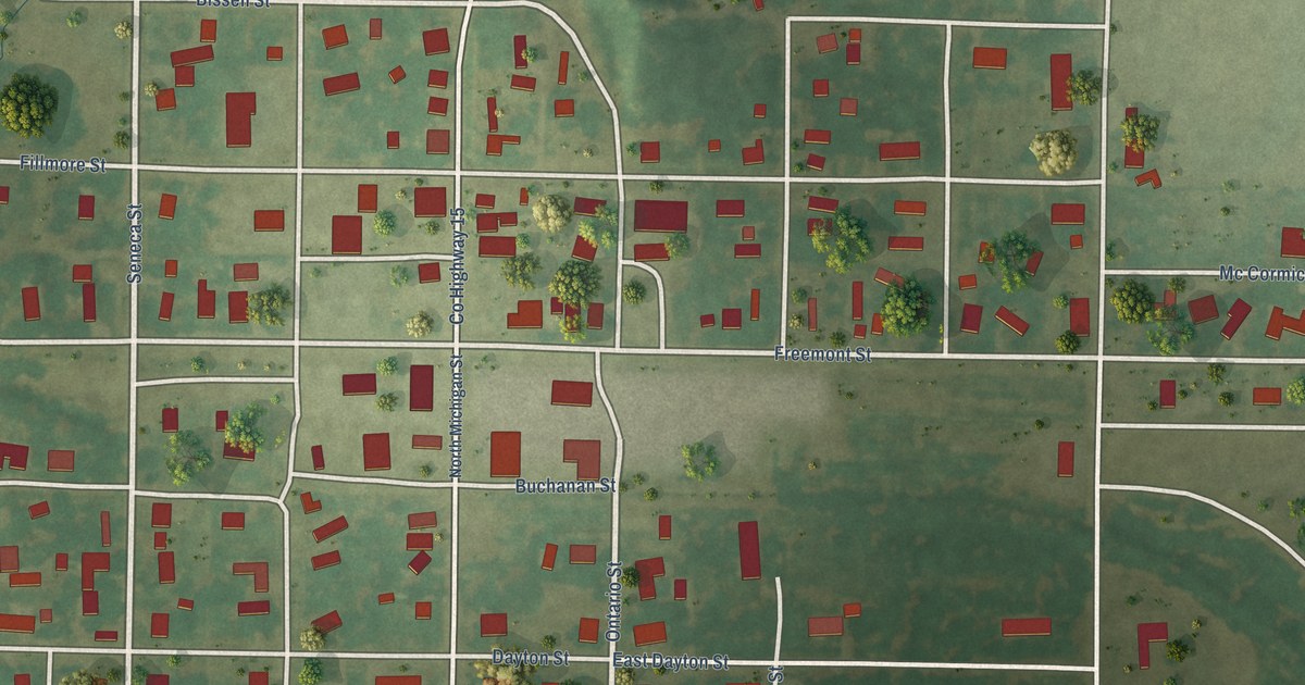
A detailed map of Tower Hill, Illinois, showing every building in its true location, the roads by name, and shaded topographical relief.
Read More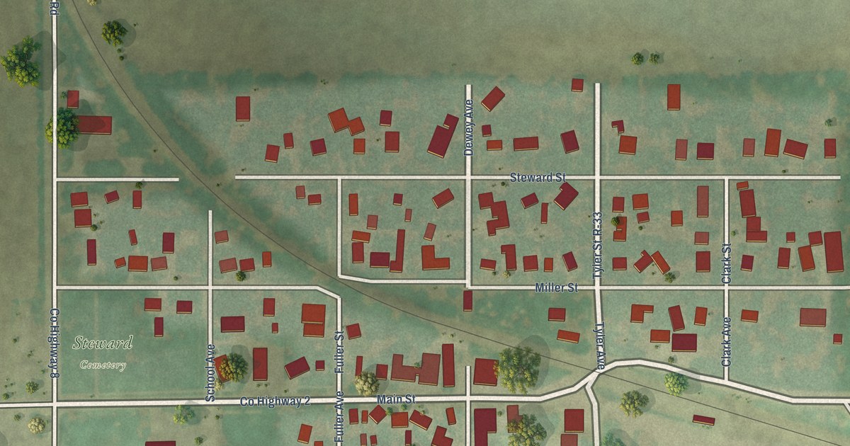
A detailed map of Steward, Illinois, showing every building in its true location, the roads by name, and shaded topographical relief.
Read More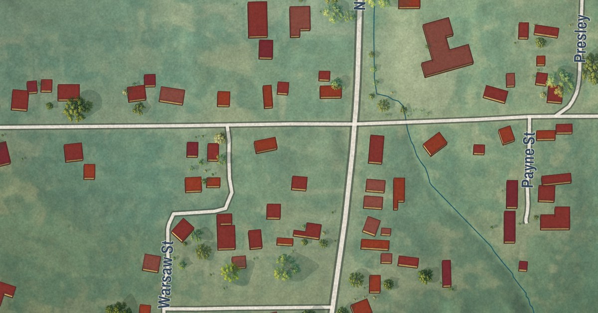
A detailed map of Spillertown, Illinois, showing every building in its true location, the roads by name, and shaded topographical relief.
Read More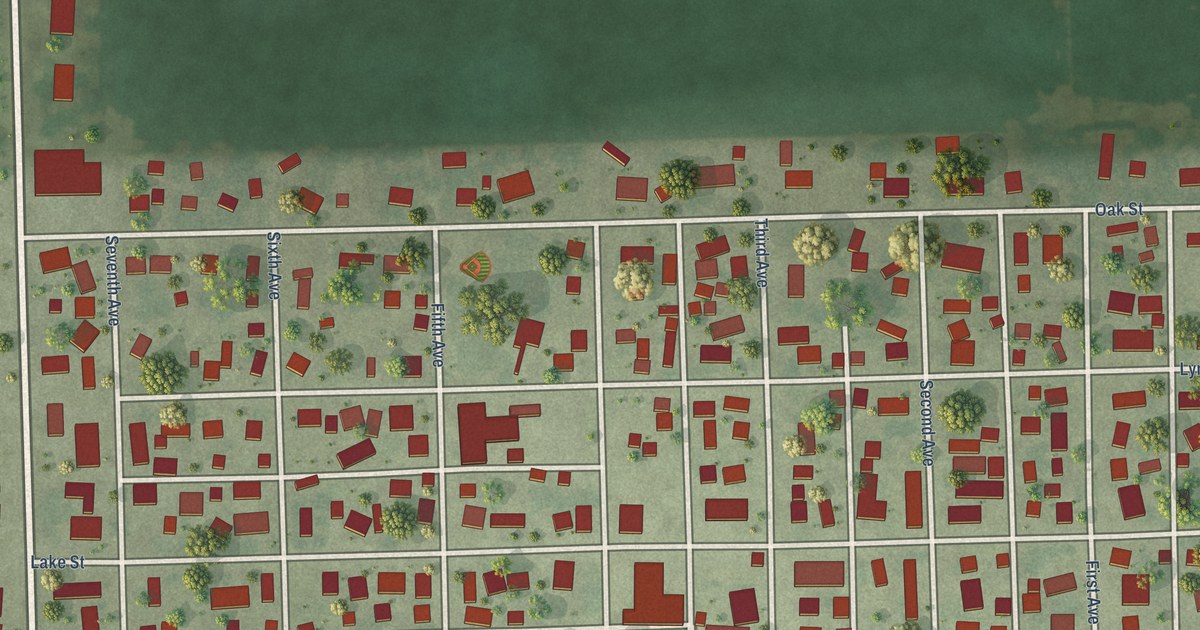
A detailed map of South Wilmington, Illinois, showing every building in its true location, the roads by name, and shaded topographical relief.
Read More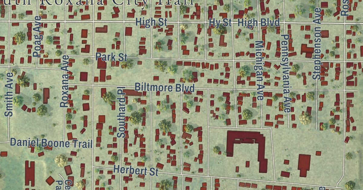
A detailed map of South Roxana, Illinois, showing every building in its true location, the roads by name, and shaded topographical relief.
Read More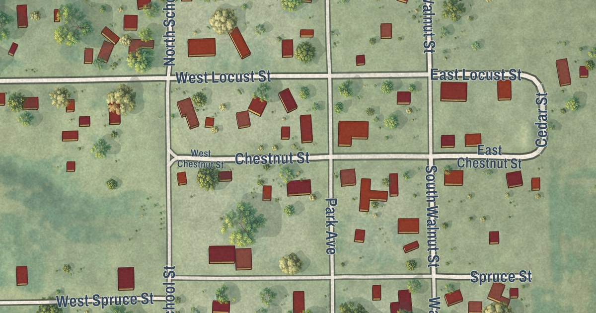
A detailed map of Scottville, Illinois, showing every building in its true location, the roads by name, and shaded topographical relief.
Read More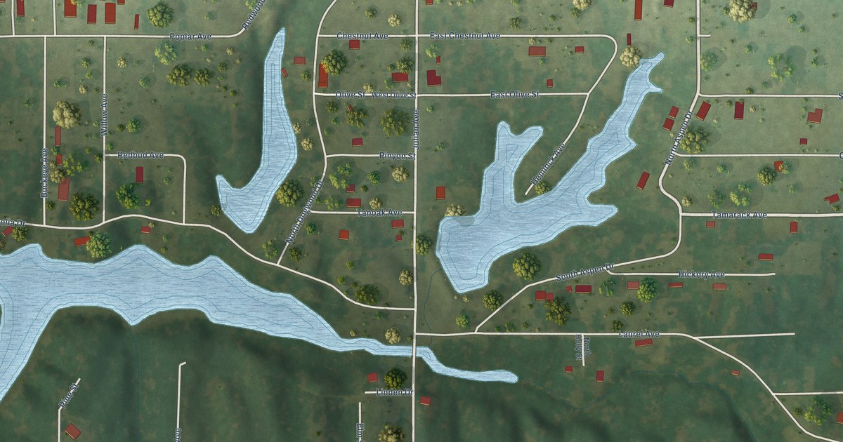
A detailed map of Royal Lakes, Illinois, showing every building in its true location, the roads by name, and shaded topographical relief.
Read More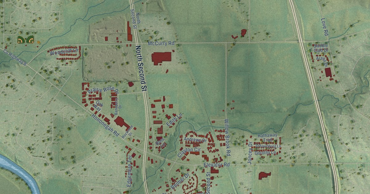
A detailed map of Roscoe, Illinois, showing every building in its true location, the roads by name, and shaded topographical relief.
Read More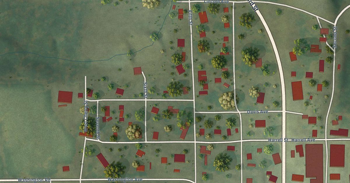
A detailed map of Omaha, Illinois, showing every building in its true location, the roads by name, and shaded topographical relief.
Read More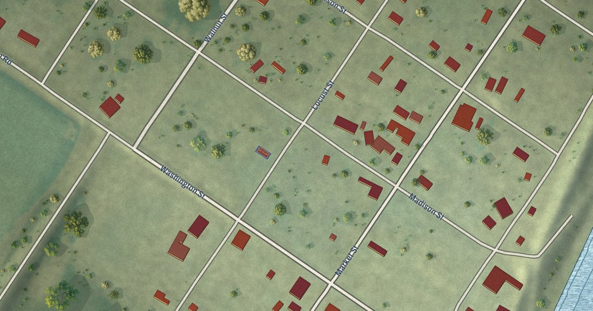
A detailed map of Old Shawneetown, Illinois, showing every building in its true location, the roads by name, and shaded topographical relief.
Read More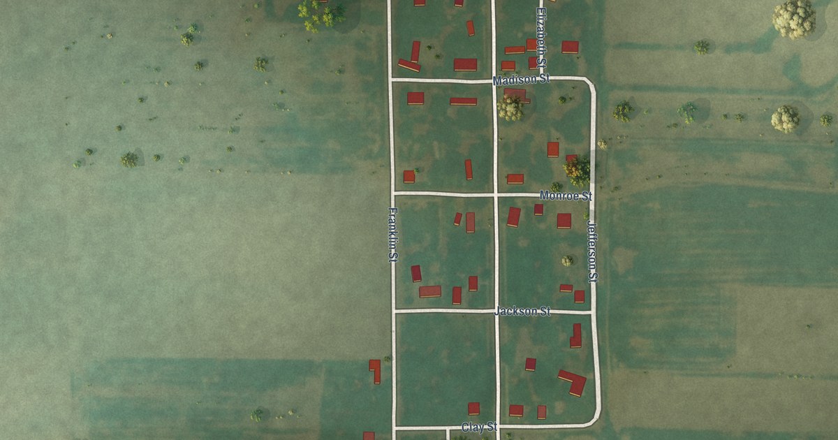
A detailed map of Old Ripley, Illinois, showing every building in its true location, the roads by name, and shaded topographical relief.
Read More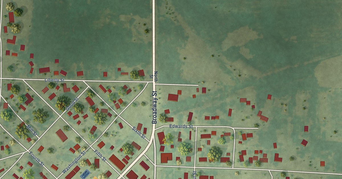
A detailed map of New Boston, Illinois, showing every building in its true location, the roads by name, and shaded topographical relief.
Read More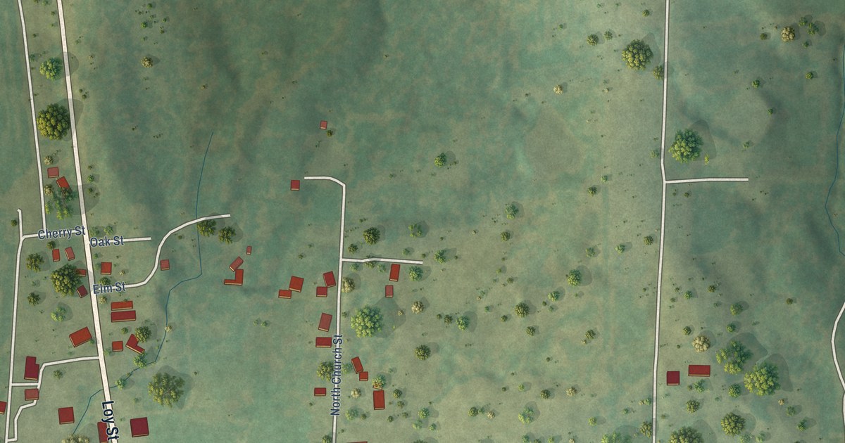
A detailed map of Mill Shoals, Illinois, showing every building in its true location, the roads by name, and shaded topographical relief.
Read More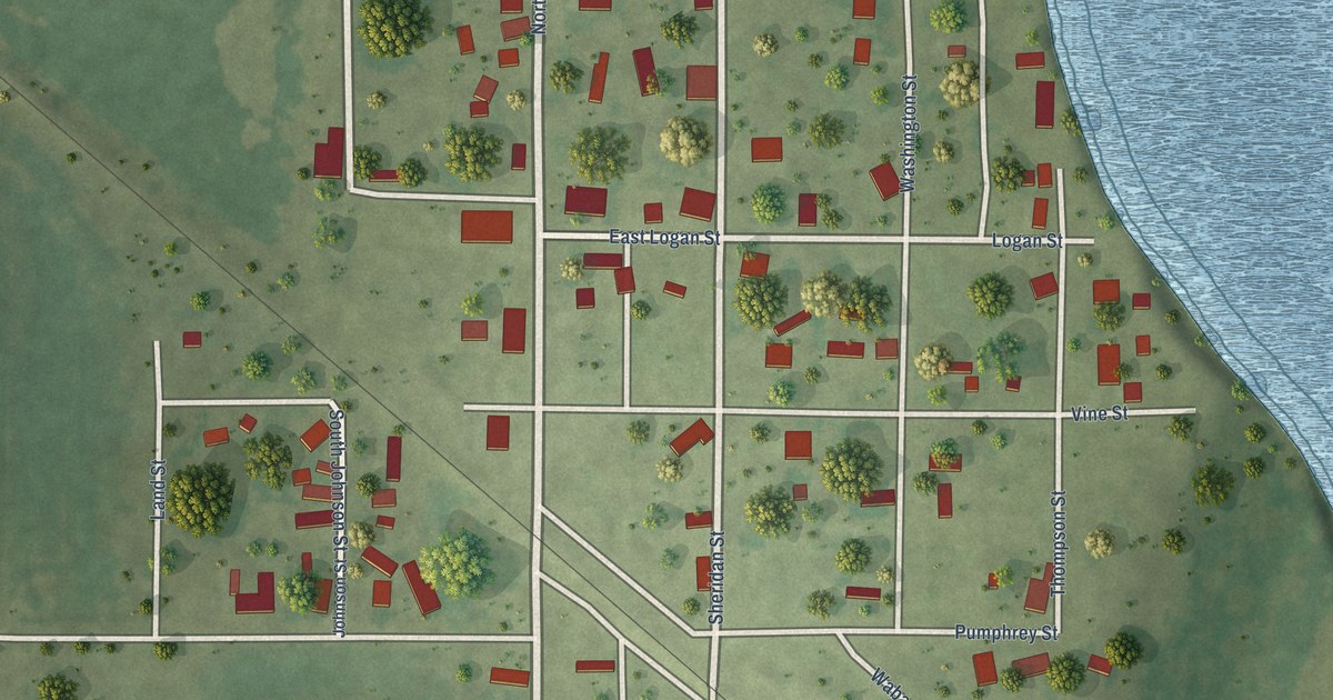
A detailed map of Maunie, Illinois, showing every building in its true location, the roads by name, and shaded topographical relief.
Read More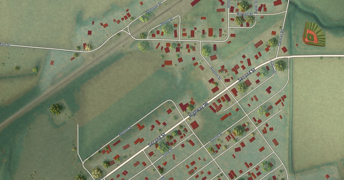
A detailed map of Lomax, Illinois, showing every building in its true location, the roads by name, and shaded topographical relief.
Read More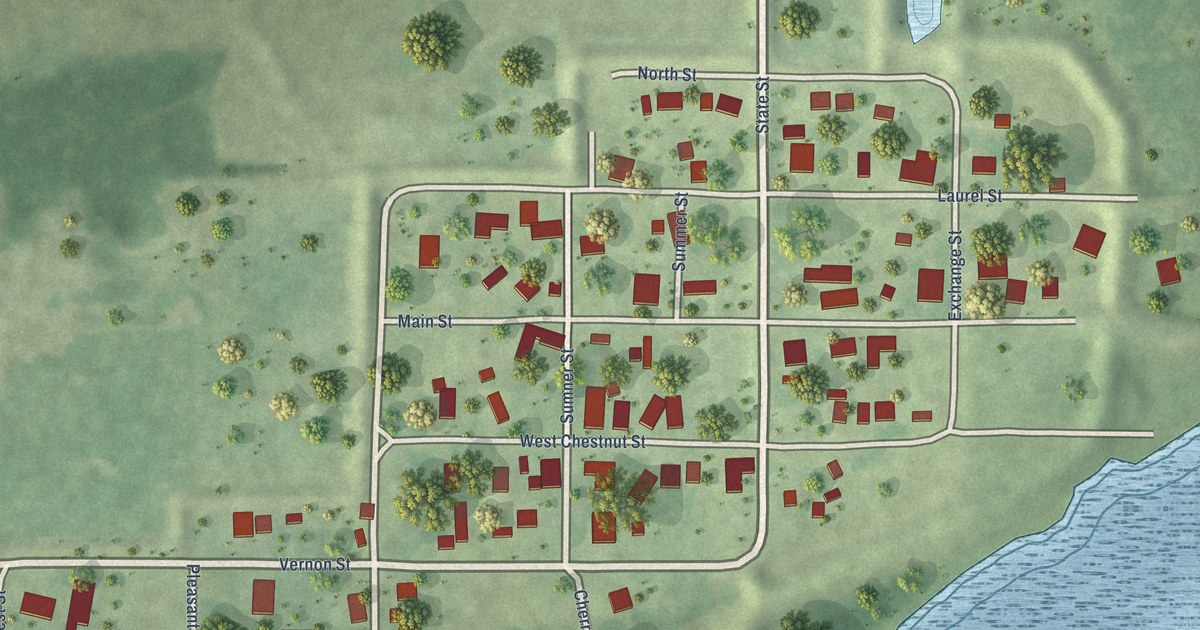
A detailed map of Liverpool, Illinois, showing every building in its true location, the roads by name, and shaded topographical relief.
Read More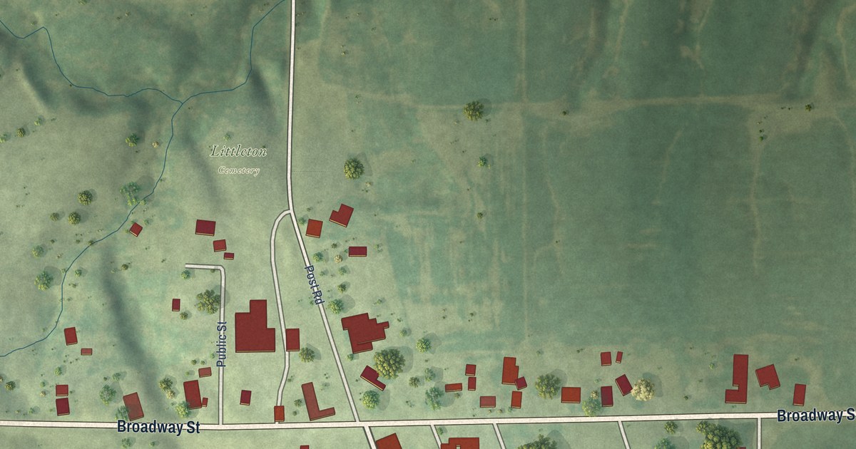
A detailed map of Littleton, Illinois, showing every building in its true location, the roads by name, and shaded topographical relief.
Read More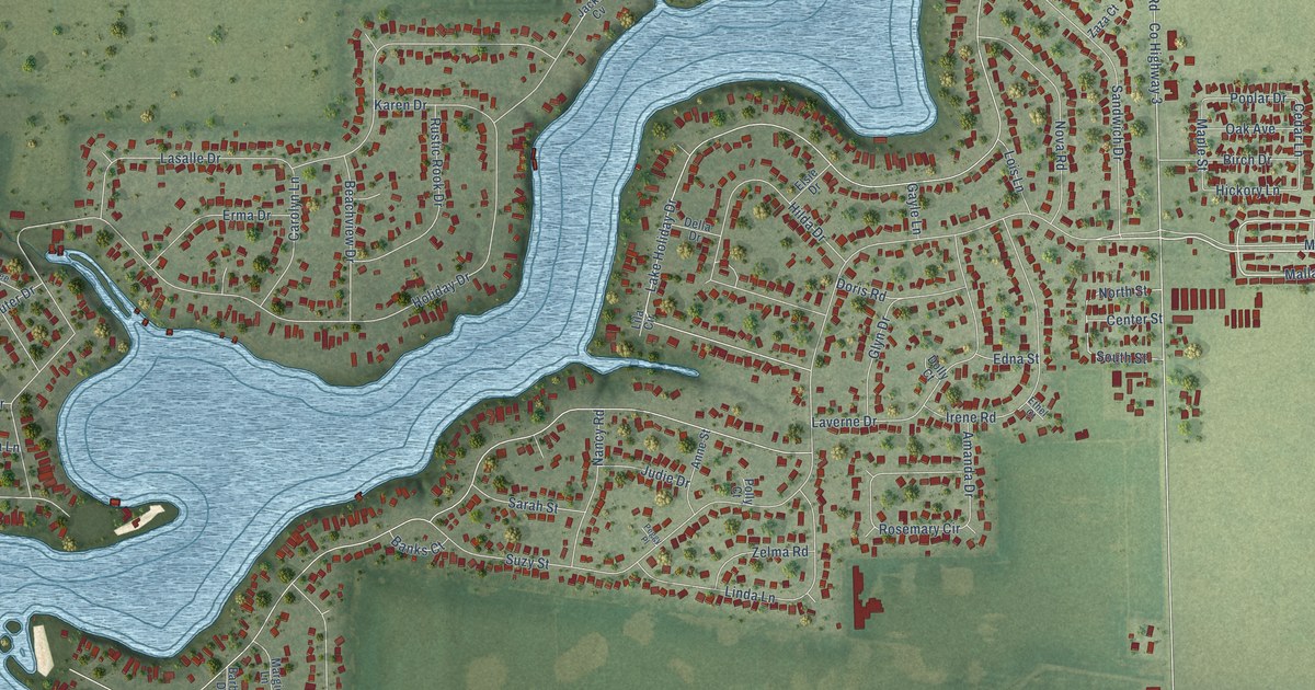
A detailed map of Lake Holiday, Illinois, showing every building in its true location, the roads by name, and shaded topographical relief.
Read More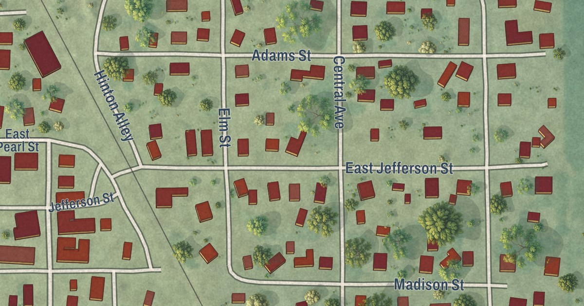
A detailed map of Kane, Illinois, showing every building in its true location, the roads by name, and shaded topographical relief.
Read More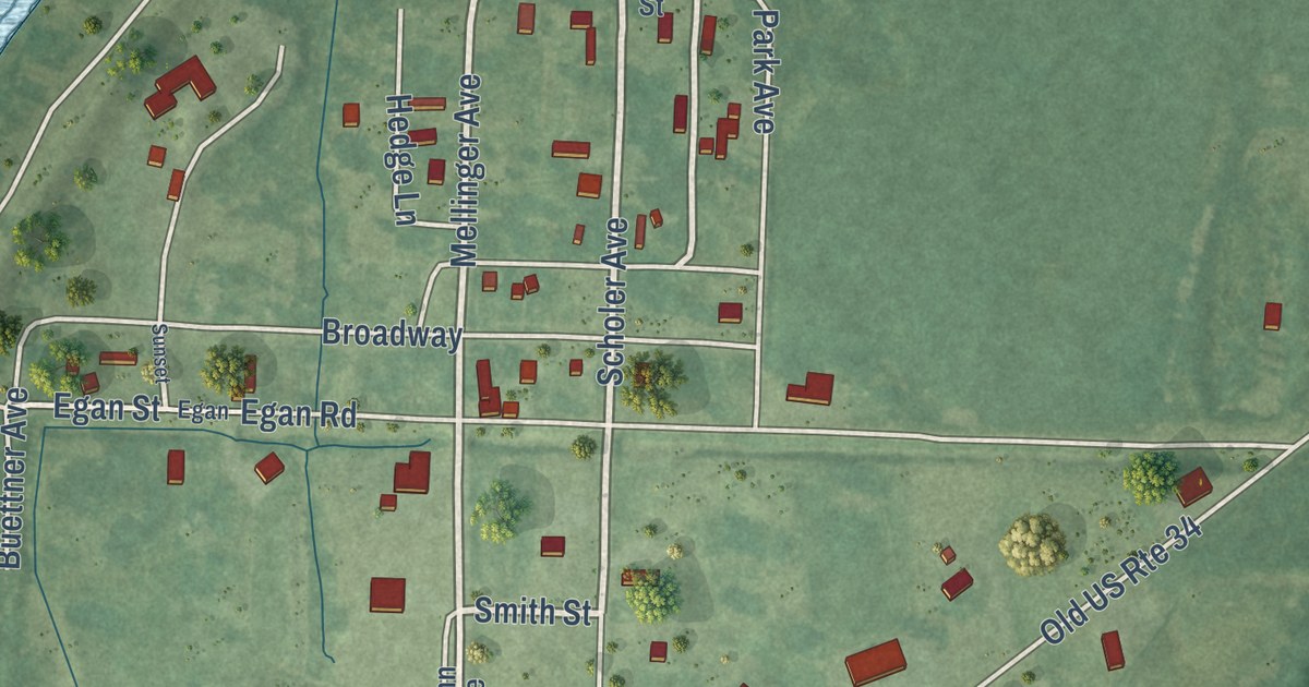
A detailed map of Gulfport, Illinois, showing every building in its true location, the roads by name, and shaded topographical relief.
Read More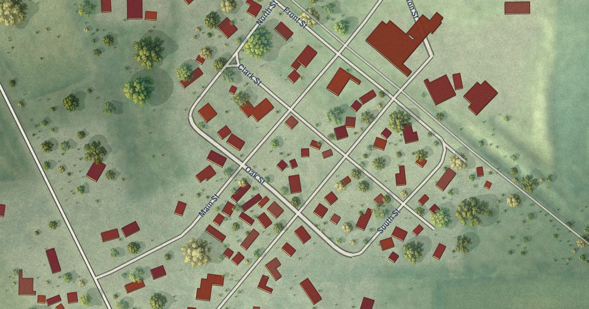
A detailed map of Caledonia, Illinois, showing every building in its true location, the roads by name, and shaded topographical relief.
Read More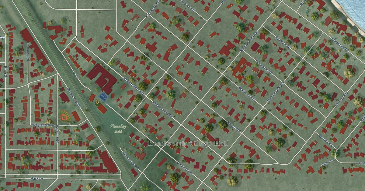
A detailed map of Kenilworth, Illinois, showing every building in its true location, the roads by name, and shaded topographical relief.
Read More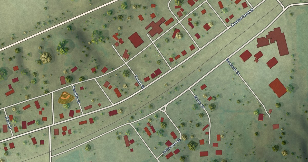
A detailed map of Jewett, Illinois, showing every building in its true location, the roads by name, and shaded topographical relief.
Read More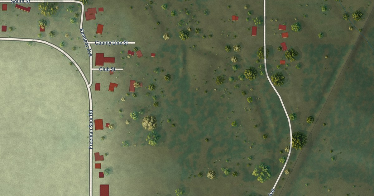
A detailed map of Freeman Spur, Illinois, showing every building in its true location, the roads by name, and shaded topographical relief.
Read More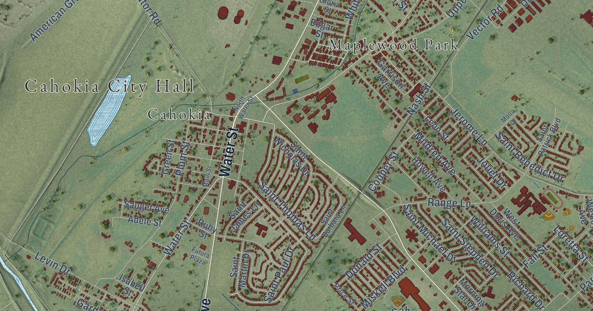
A detailed map of Cahokia Heights, Illinois, showing every building in its true location, the roads by name, and shaded topographical relief.
Read More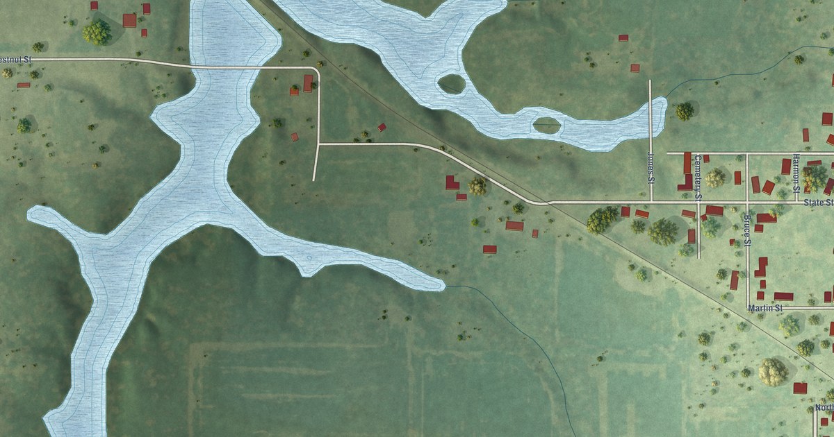
A detailed map of Allenville, Illinois, showing every building in its true location, the roads by name, and shaded topographical relief.
Read More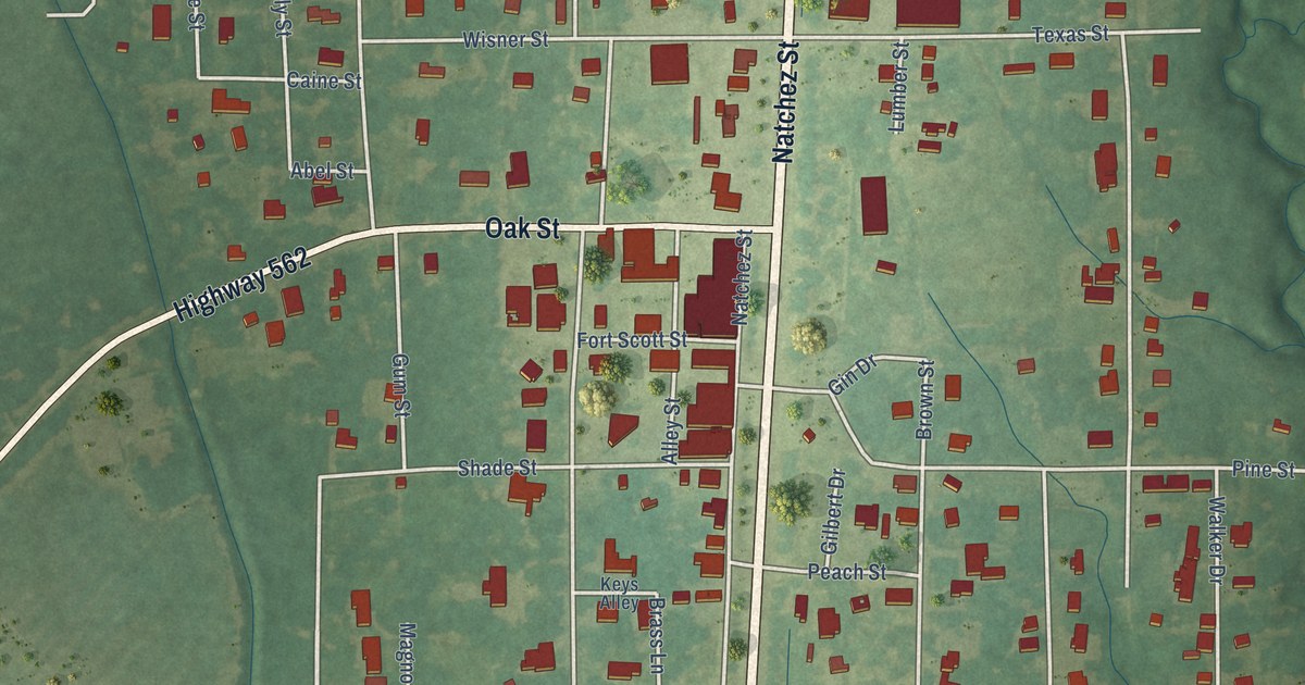
A detailed map of Wisner, Louisiana, showing every building in its true location, the roads by name, and shaded topographical relief.
Read More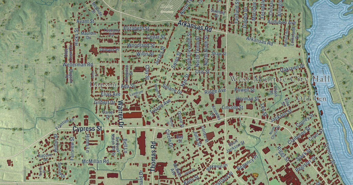
A detailed map of West Monroe, Louisiana, showing every building in its true location, the roads by name, and shaded topographical relief.
Read More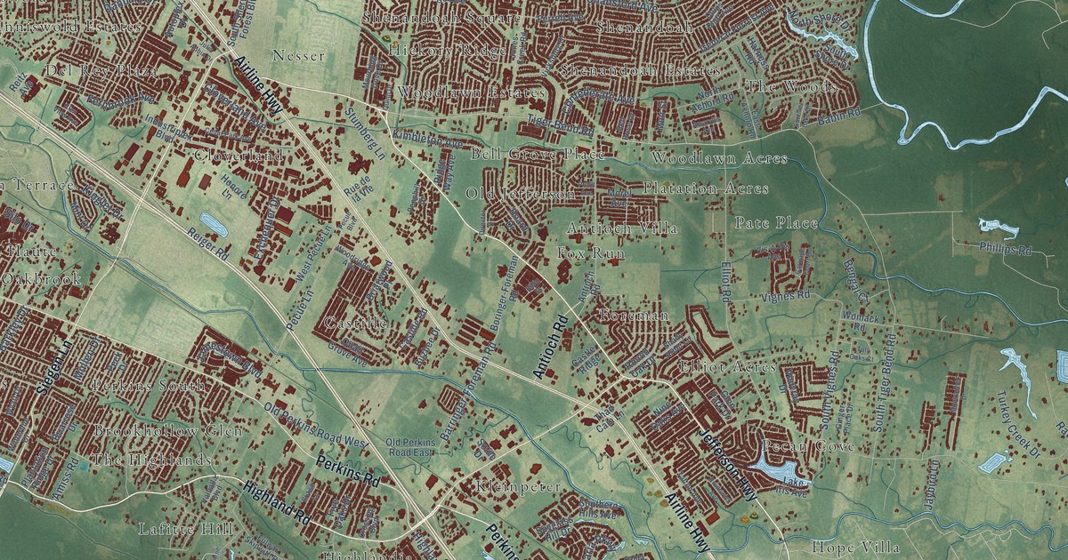
A detailed map of St. George, Louisiana, showing every building in its true location, the roads by name, and shaded topographical relief.
Read More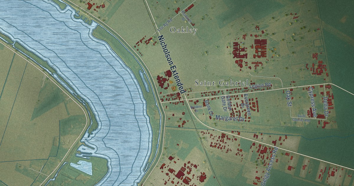
A detailed map of St. Gabriel, Louisiana, showing every building in its true location, the roads by name, and shaded topographical relief.
Read More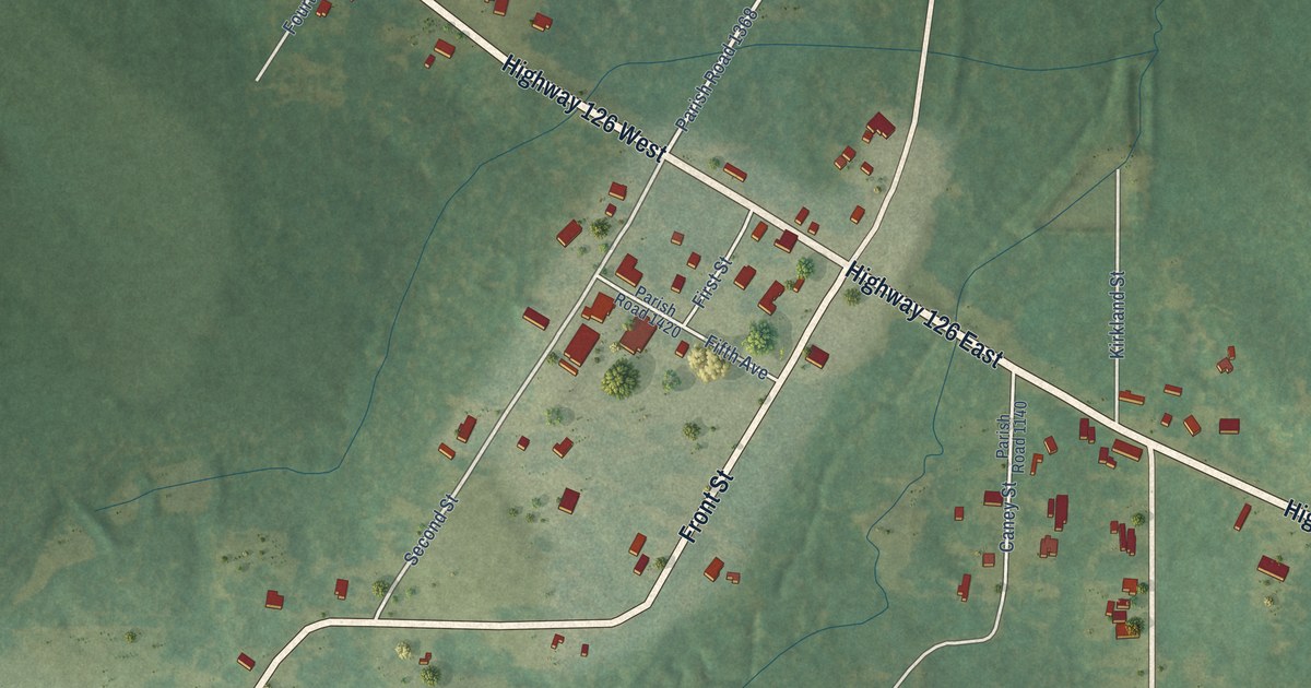
A detailed map of Sikes, Louisiana, showing every building in its true location, the roads by name, and shaded topographical relief.
Read More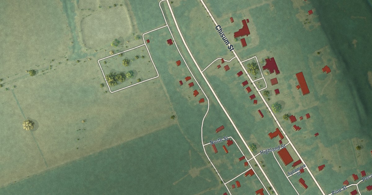
A detailed map of Sicily Island, Louisiana, showing every building in its true location, the roads by name, and shaded topographical relief.
Read More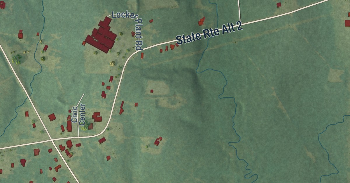
A detailed map of Shongaloo, Louisiana, showing every building in its true location, the roads by name, and shaded topographical relief.
Read More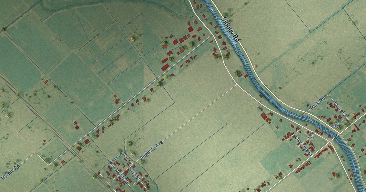
A detailed map of Rosedale, Louisiana, showing every building in its true location, the roads by name, and shaded topographical relief.
Read More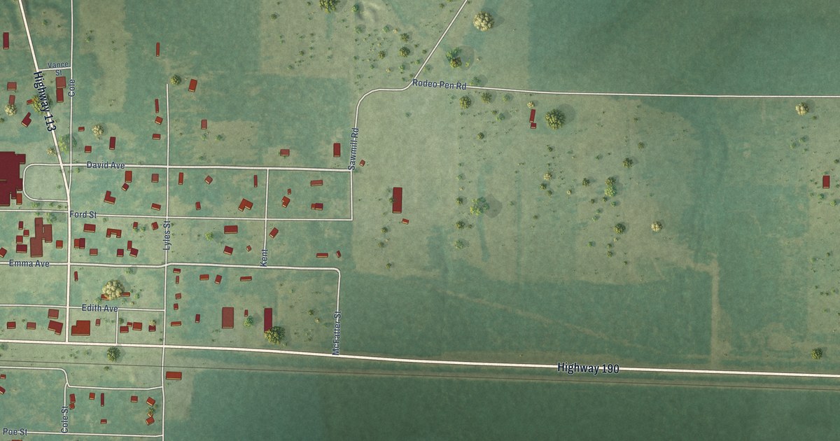
A detailed map of Reeves, Louisiana, showing every building in its true location, the roads by name, and shaded topographical relief.
Read More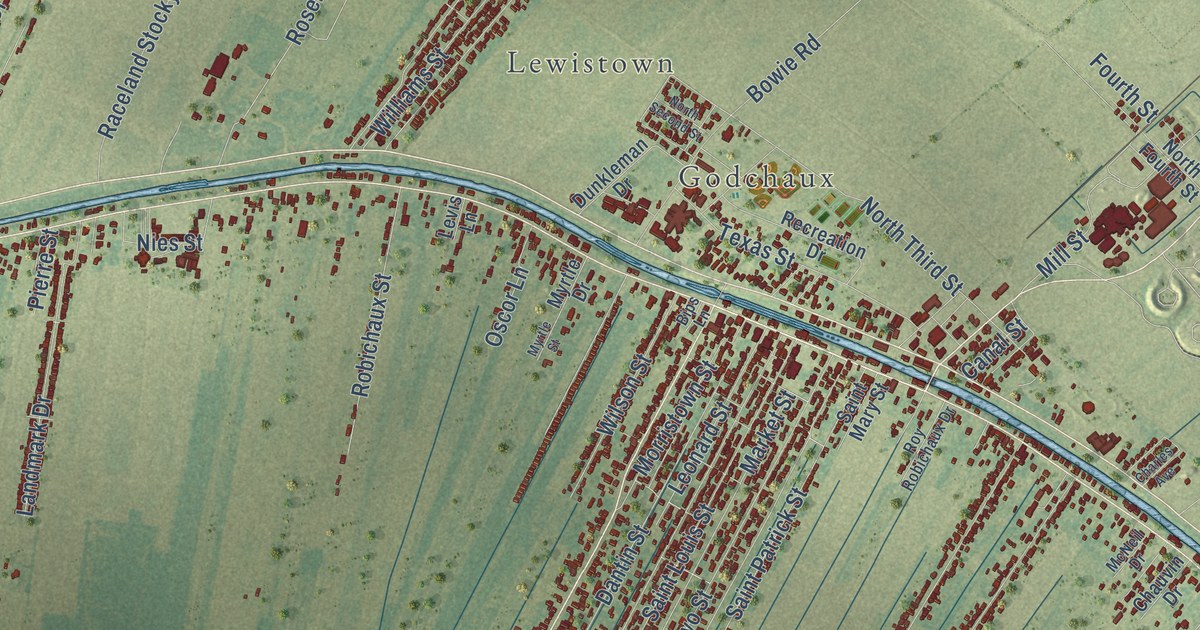
A detailed map of Raceland, Louisiana, showing every building in its true location, the roads by name, and shaded topographical relief.
Read More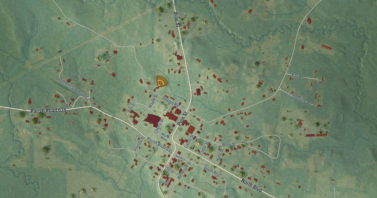
A detailed map of Provencal, Louisiana, showing every building in its true location, the roads by name, and shaded topographical relief.
Read More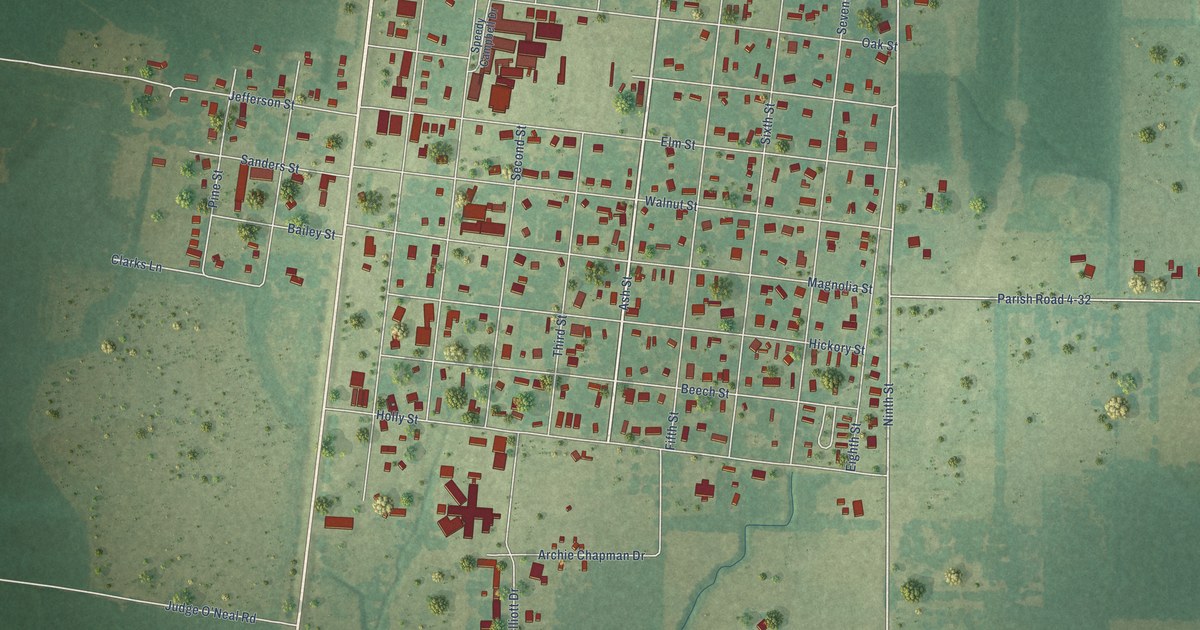
A detailed map of Pine Prairie, Louisiana, showing every building in its true location, the roads by name, and shaded topographical relief.
Read More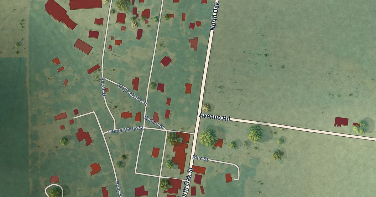
A detailed map of Oak Ridge, Louisiana, showing every building in its true location, the roads by name, and shaded topographical relief.
Read More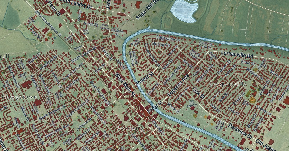
A detailed map of New Iberia, Louisiana, showing every building in its true location, the roads by name, and shaded topographical relief.
Read More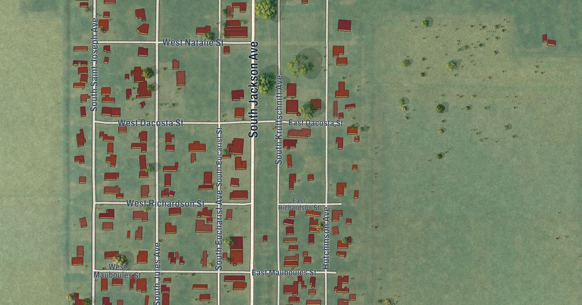
A detailed map of Morse, Louisiana, showing every building in its true location, the roads by name, and shaded topographical relief.
Read More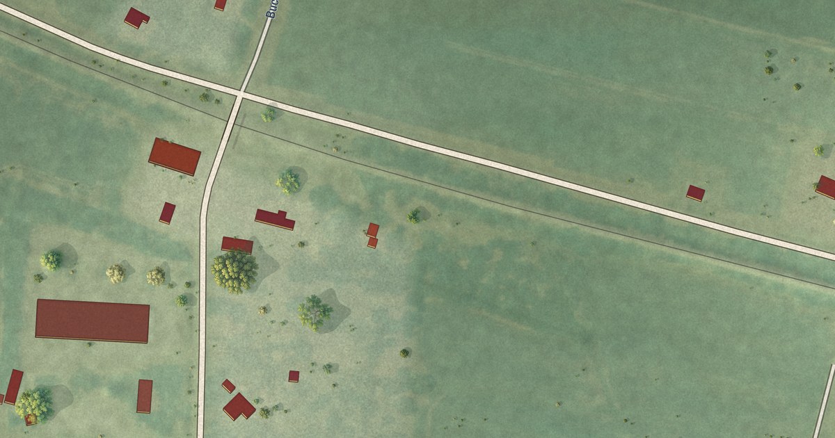
A detailed map of Mound, Louisiana, showing every building in its true location, the roads by name, and shaded topographical relief.
Read More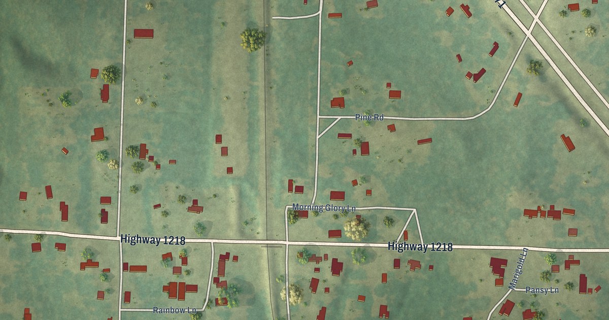
A detailed map of Noble, Louisiana, showing every building in its true location, the roads by name, and shaded topographical relief.
Read More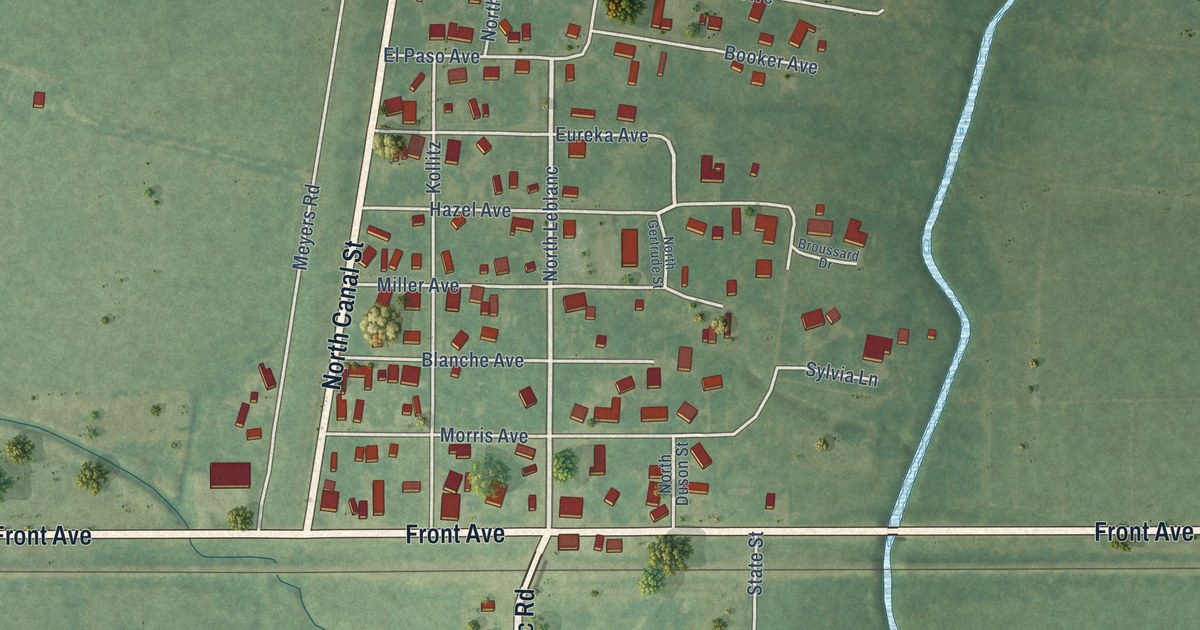
A detailed map of Estherwood, Louisiana, showing every building in its true location, the roads by name, and shaded topographical relief.
Read More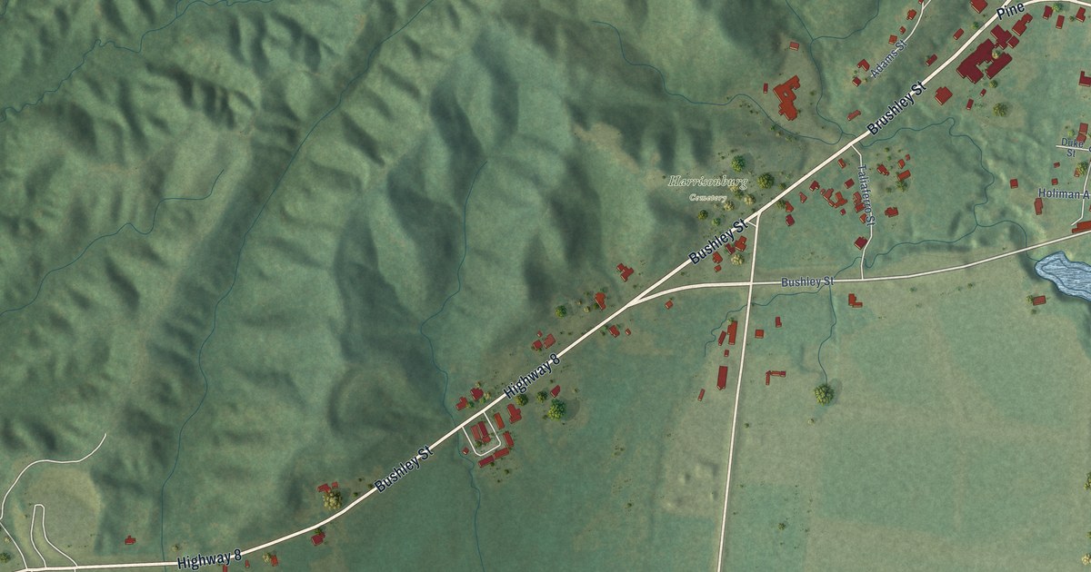
A detailed map of Harrisonburg, Louisiana, showing every building in its true location, the roads by name, and shaded topographical relief.
Read More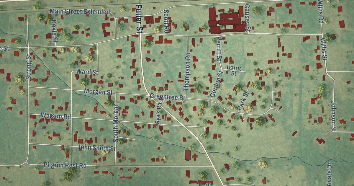
A detailed map of Doyline, Louisiana, showing every building in its true location, the roads by name, and shaded topographical relief.
Read More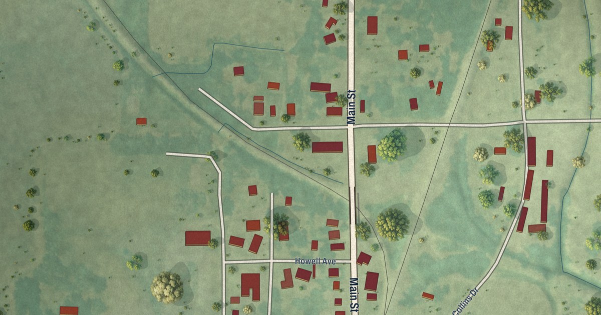
A detailed map of Collinston, Louisiana, showing every building in its true location, the roads by name, and shaded topographical relief.
Read More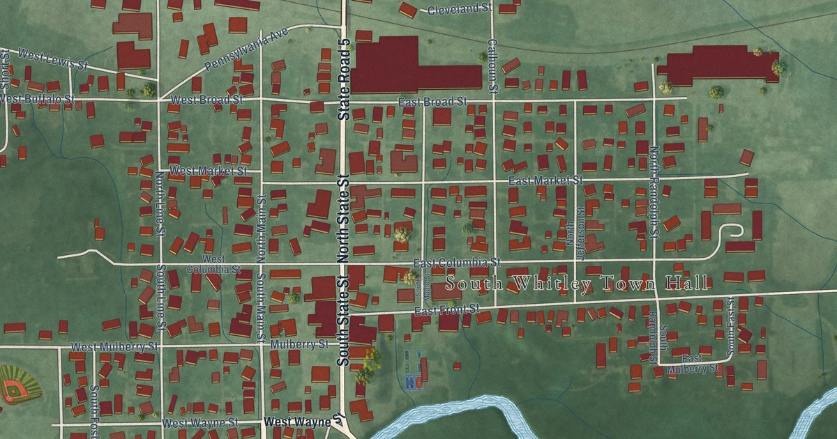
A detailed map of South Whitley, Indiana, showing every building in its true location, the roads by name, and shaded topographical relief.
Read More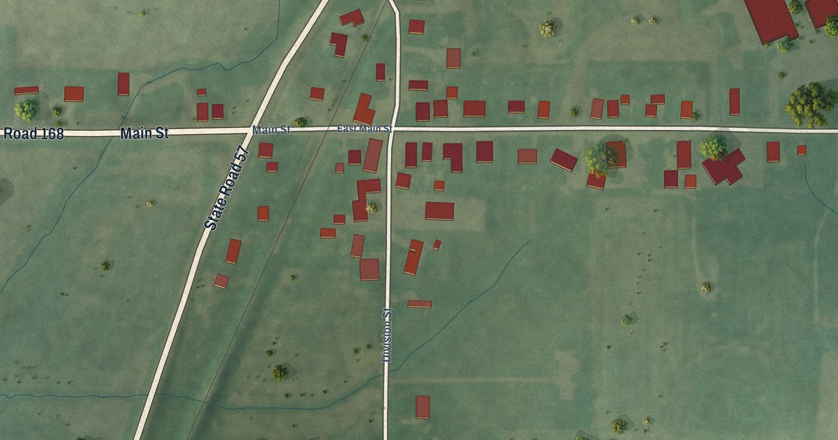
A detailed map of Mackey, Indiana, showing every building in its true location, the roads by name, and shaded topographical relief.
Read More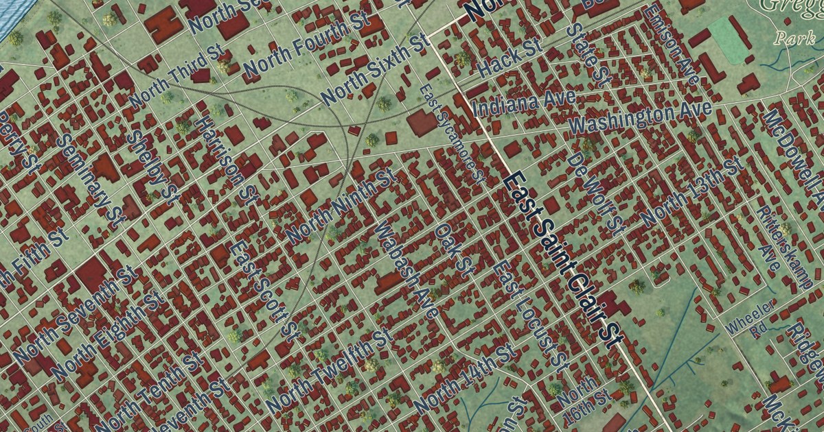
A detailed map of Vincennes, Indiana, showing every building in its true location, the roads by name, and shaded topographical relief.
Read More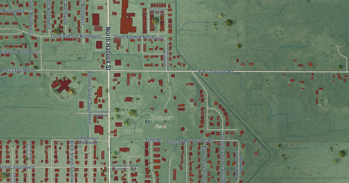
A detailed map of DeMotte, Indiana, showing every building in its true location, the roads by name, and shaded topographical relief.
Read More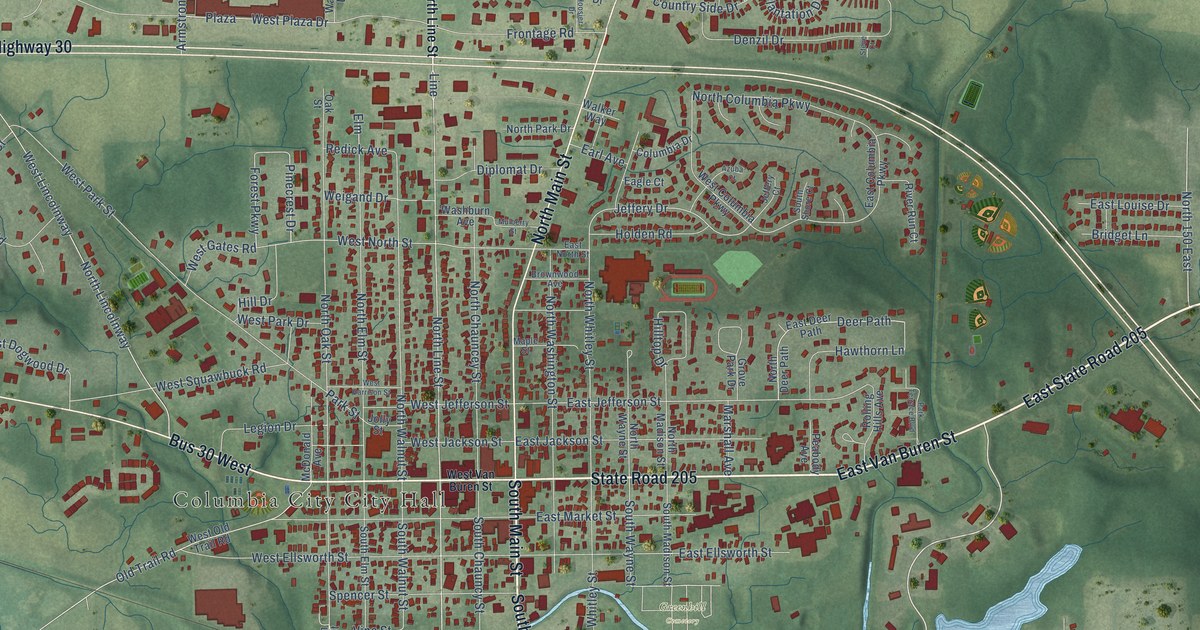
A detailed map of Columbia City, Indiana, showing every building in its true location, the roads by name, and shaded topographical relief.
Read More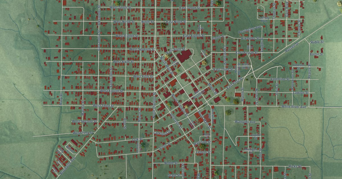
A detailed map of Bicknell, Indiana, showing every building in its true location, the roads by name, and shaded topographical relief.
Read More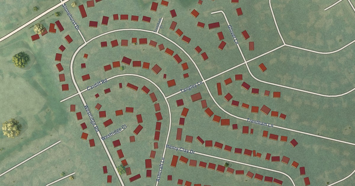
A detailed map of Westwood, Kentucky, showing every building in its true location, the roads by name, and shaded topographical relief.
Read More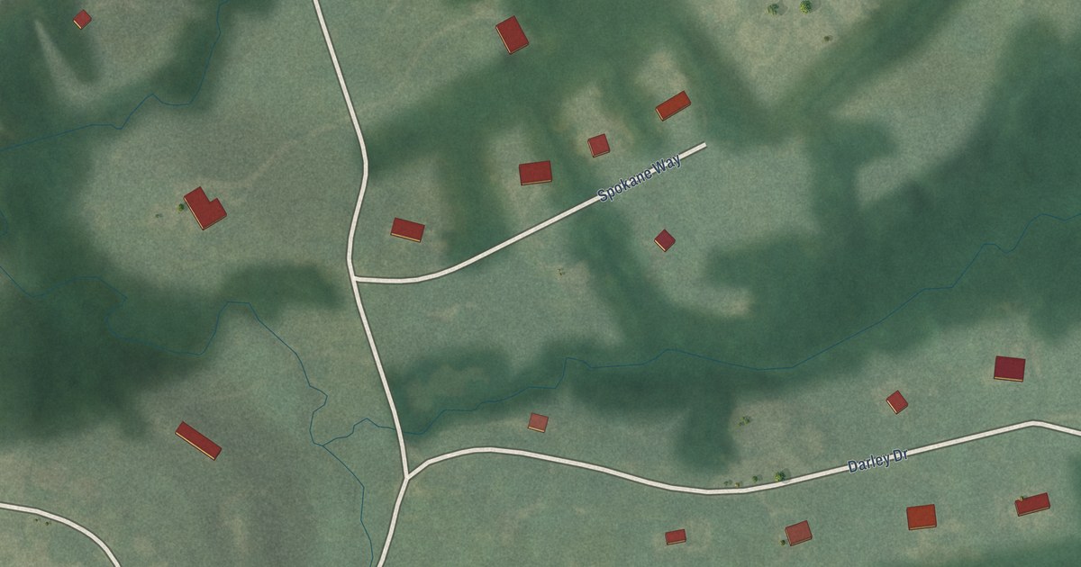
A detailed map of Ten Broeck, Kentucky, showing every building in its true location, the roads by name, and shaded topographical relief.
Read More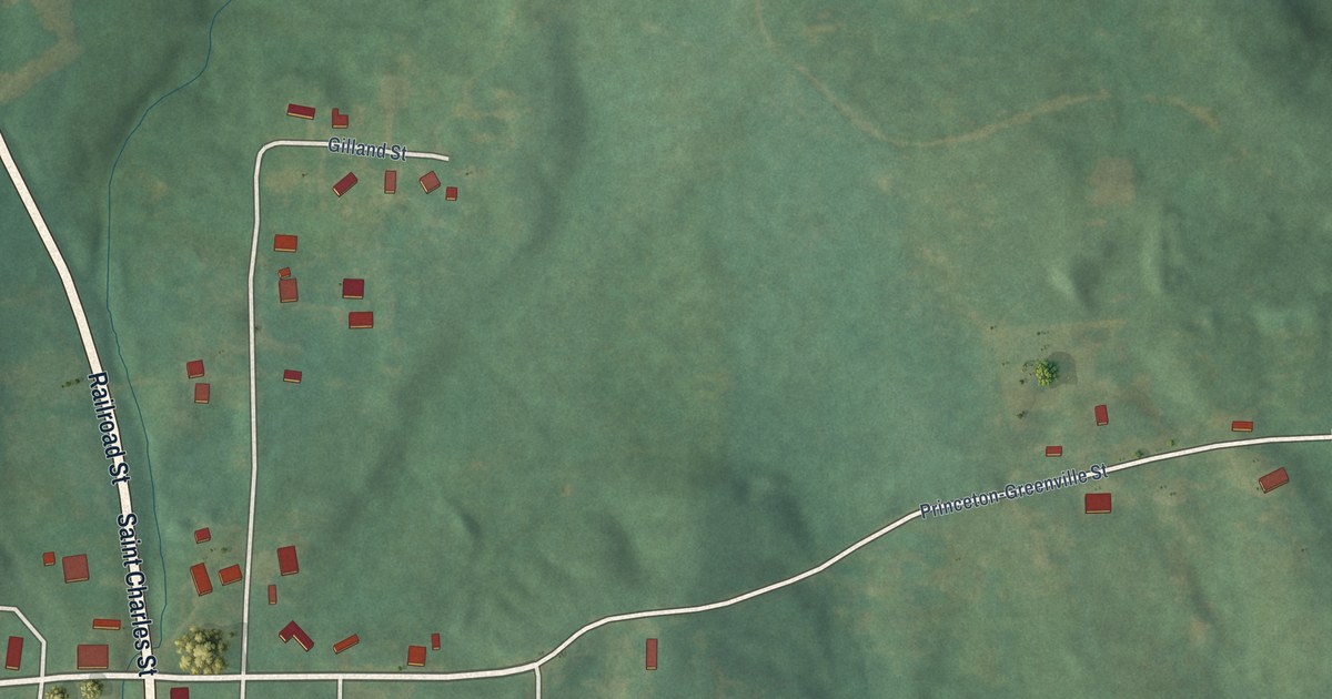
A detailed map of St. Charles, Kentucky, showing every building in its true location, the roads by name, and shaded topographical relief.
Read More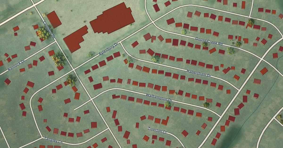
A detailed map of Rolling Hills, Kentucky, showing every building in its true location, the roads by name, and shaded topographical relief.
Read More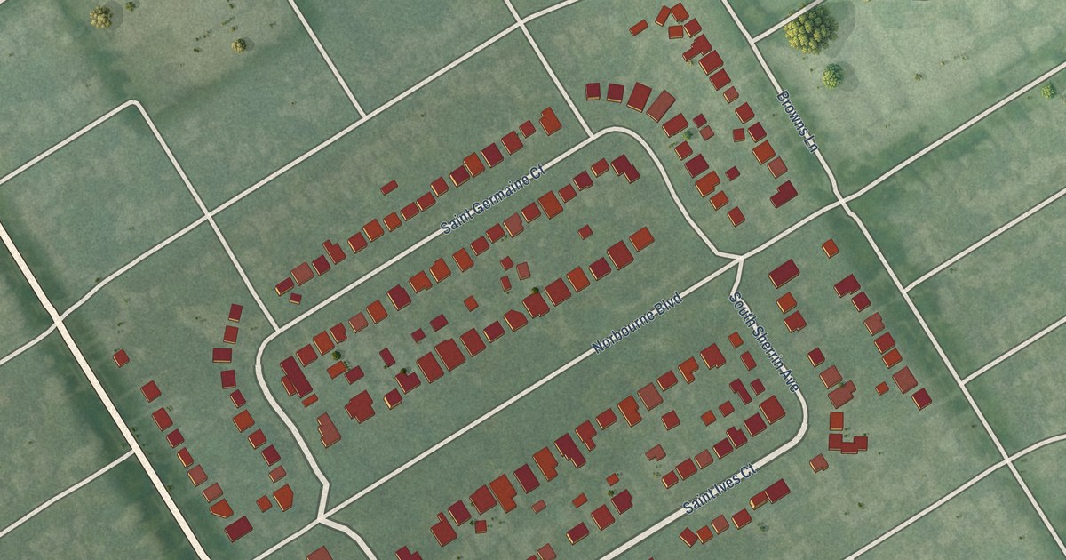
A detailed map of Norbourne Estates, Kentucky, showing every building in its true location, the roads by name, and shaded topographical relief.
Read More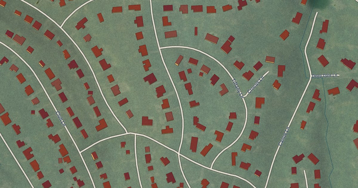
A detailed map of Rolling Fields, Kentucky, showing every building in its true location, the roads by name, and shaded topographical relief.
Read More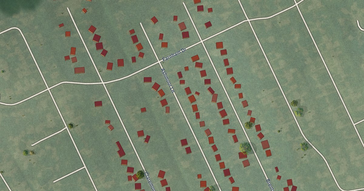
A detailed map of Moorland, Kentucky, showing every building in its true location, the roads by name, and shaded topographical relief.
Read More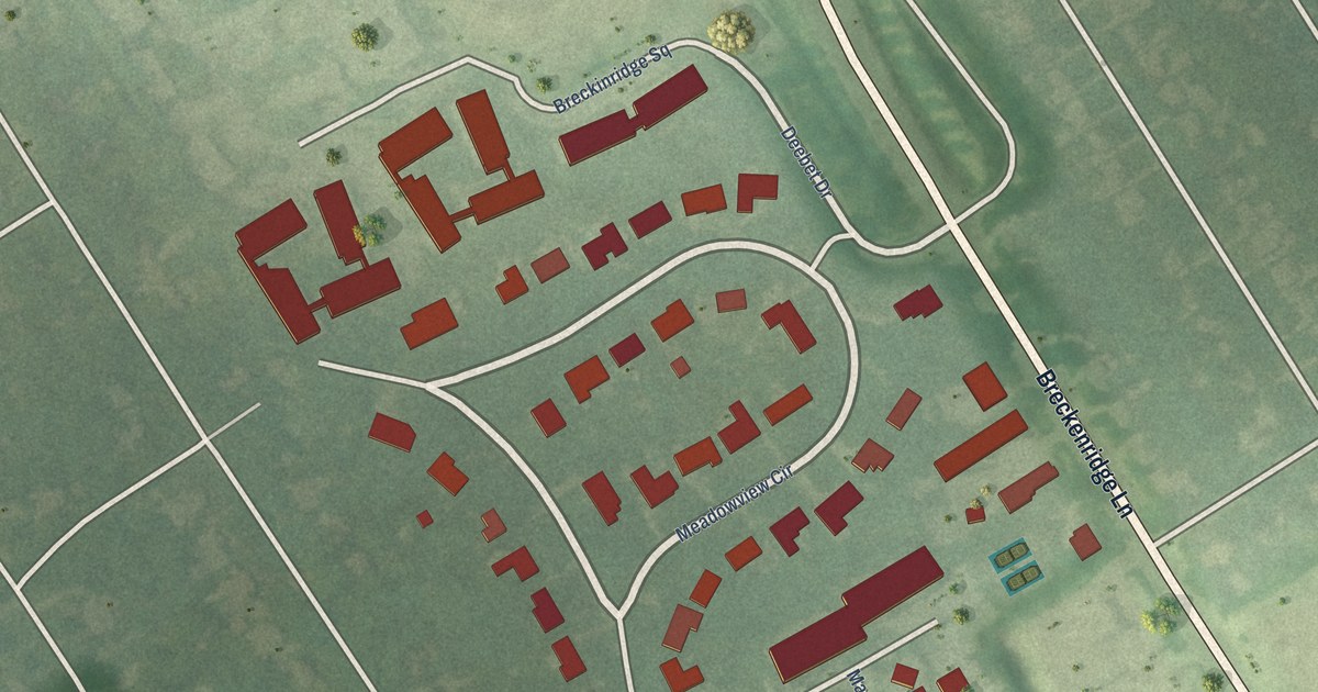
A detailed map of Meadowview Estates, Kentucky, showing every building in its true location, the roads by name, and shaded topographical relief.
Read More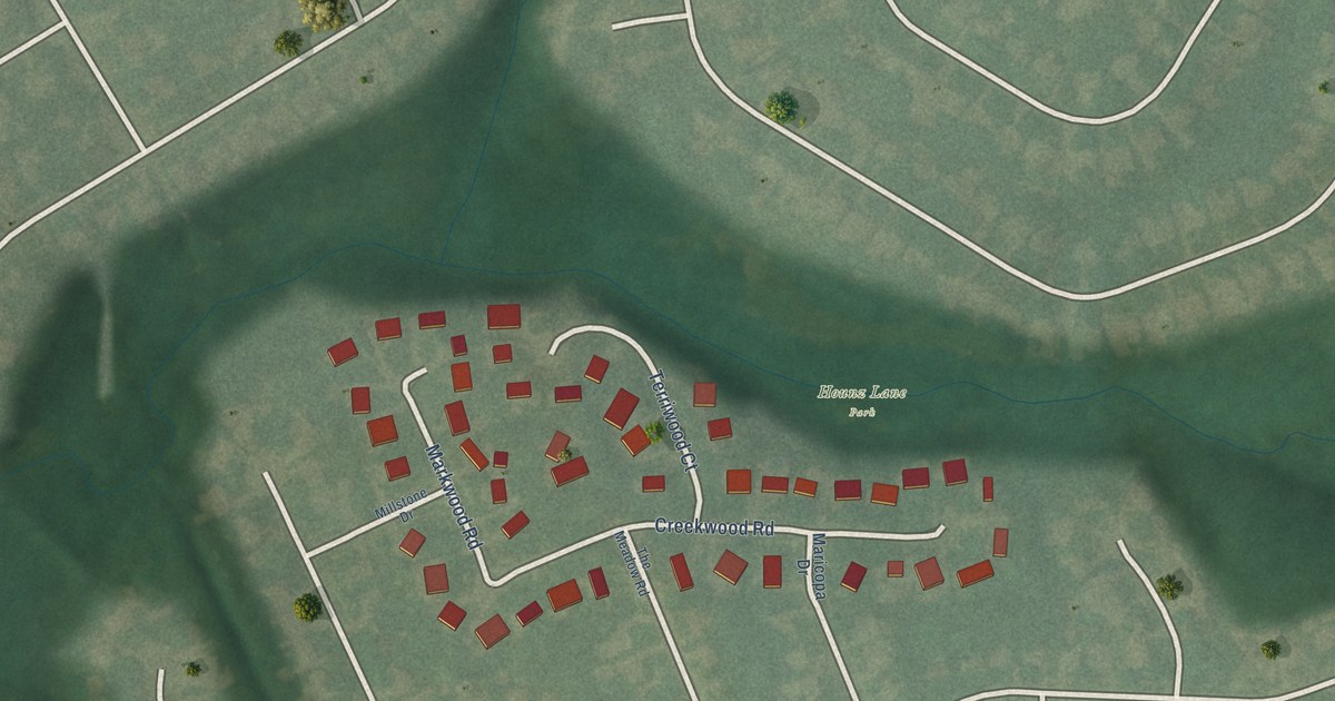
A detailed map of Meadowbrook Farm, Kentucky, showing every building in its true location, the roads by name, and shaded topographical relief.
Read More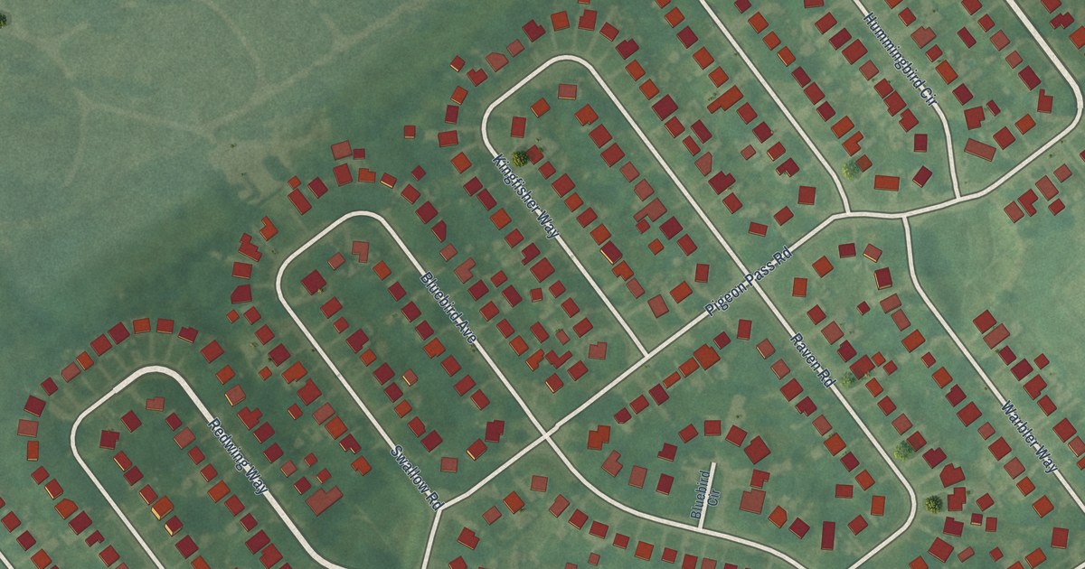
A detailed map of Lynnview, Kentucky, showing every building in its true location, the roads by name, and shaded topographical relief.
Read More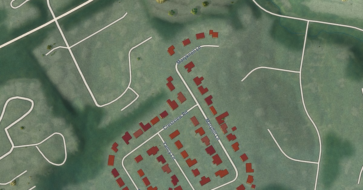
A detailed map of Maryhill Estates, Kentucky, showing every building in its true location, the roads by name, and shaded topographical relief.
Read More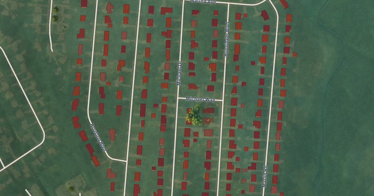
A detailed map of Houston Acres, Kentucky, showing every building in its true location, the roads by name, and shaded topographical relief.
Read More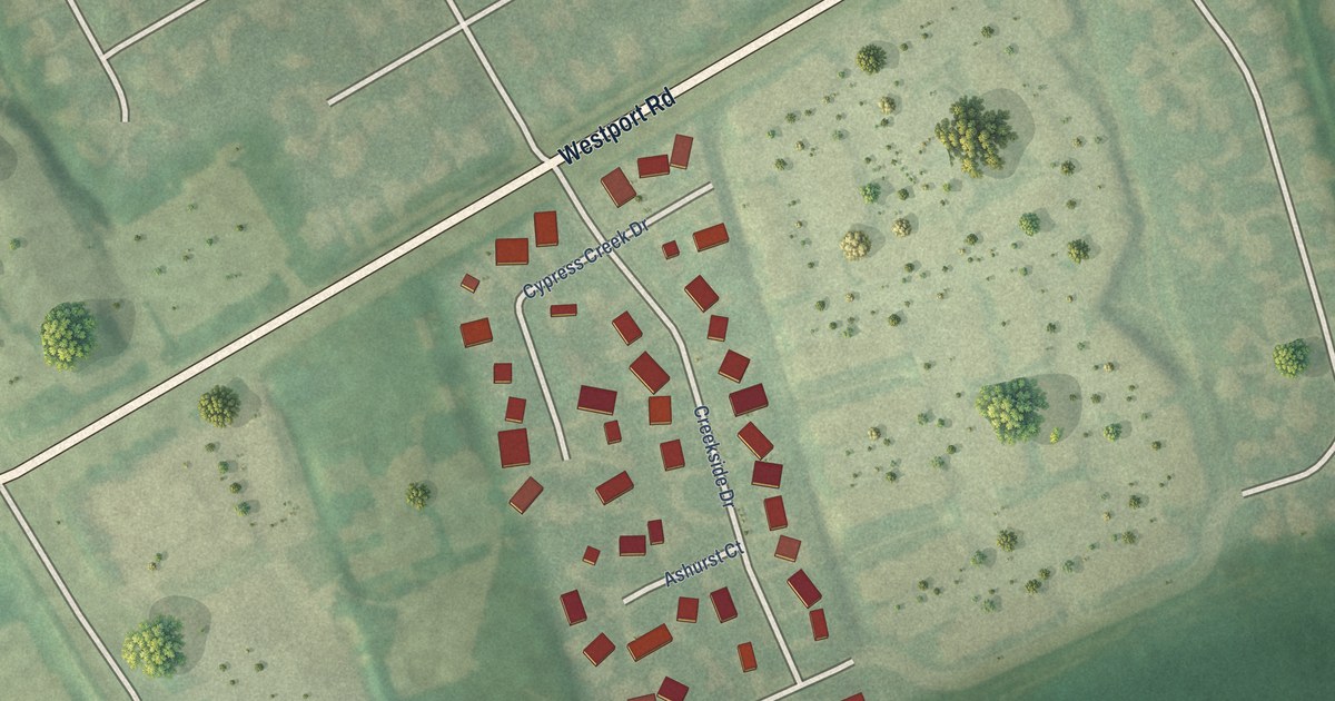
A detailed map of Hickory Hill, Kentucky, showing every building in its true location, the roads by name, and shaded topographical relief.
Read More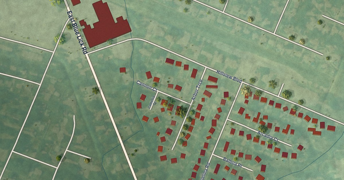
A detailed map of Hunters Hollow, Kentucky, showing every building in its true location, the roads by name, and shaded topographical relief.
Read More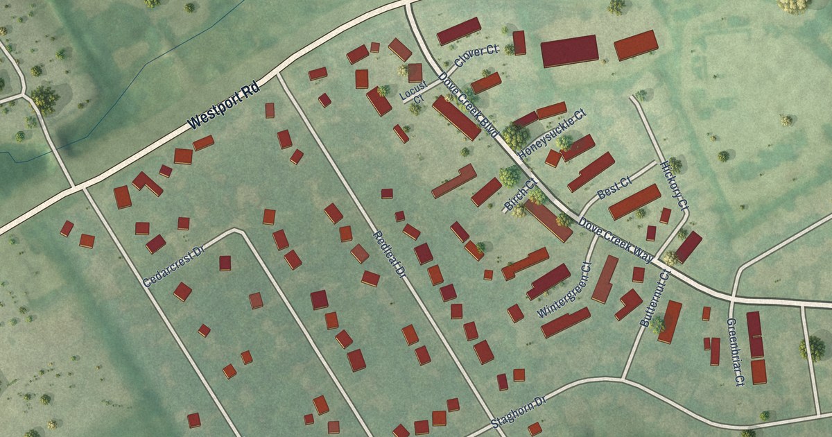
A detailed map of Briarwood, Kentucky, showing every building in its true location, the roads by name, and shaded topographical relief.
Read More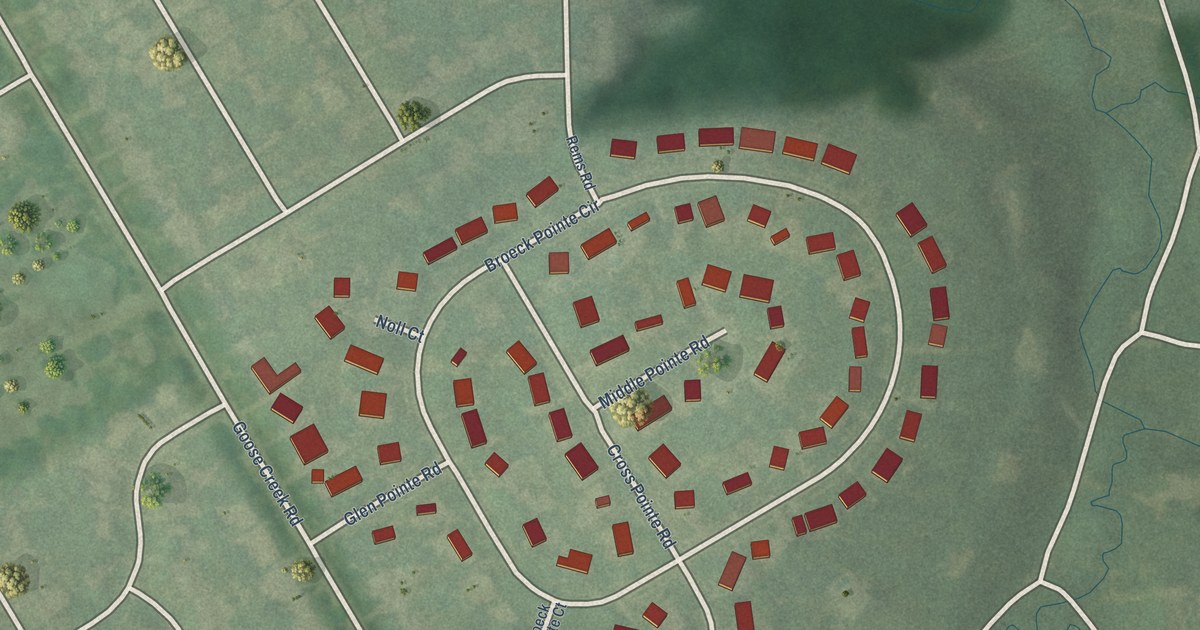
A detailed map of Broeck Pointe, Kentucky, showing every building in its true location, the roads by name, and shaded topographical relief.
Read More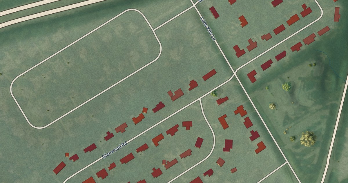
A detailed map of Glenview Manor, Kentucky, showing every building in its true location, the roads by name, and shaded topographical relief.
Read More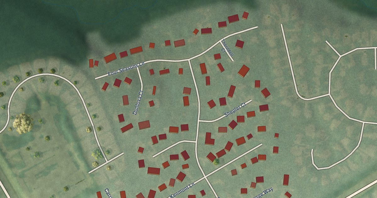
A detailed map of Creekside, Kentucky, showing every building in its true location, the roads by name, and shaded topographical relief.
Read More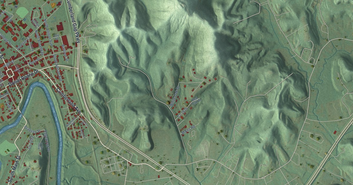
A detailed map of Barbourville, Kentucky, showing every building in its true location, the roads by name, and shaded topographical relief.
Read More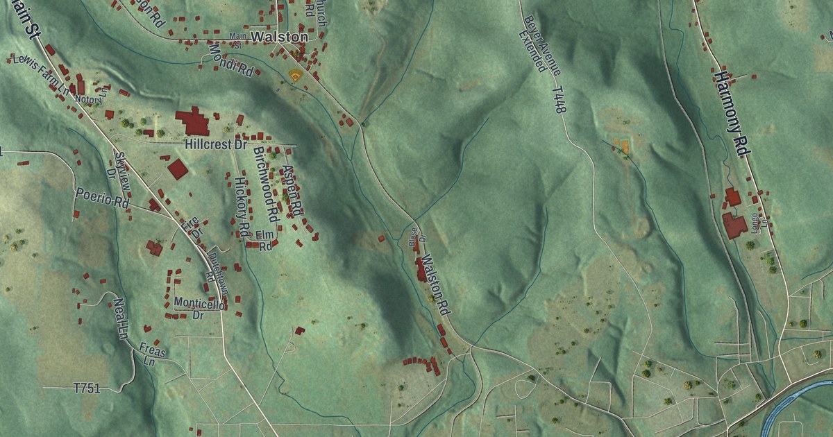
A detailed map of Young, Jefferson County, Pennsylvania, showing every building in its true location, the roads by name, and shaded topographical relief.
Read More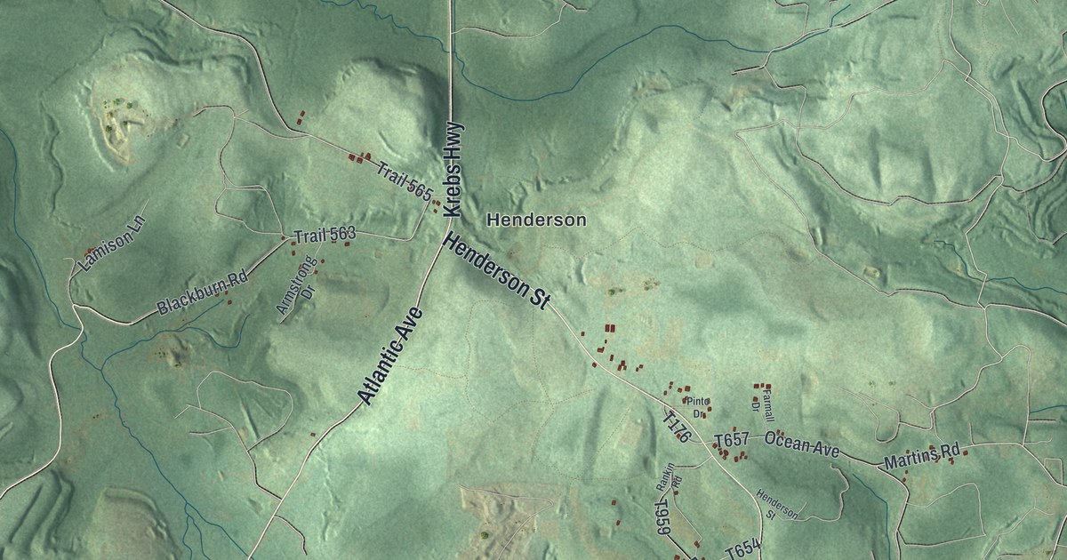
A detailed map of Woodward, Clearfield County, Pennsylvania, showing every building in its true location, the roads by name, and shaded topographical relief.
Read More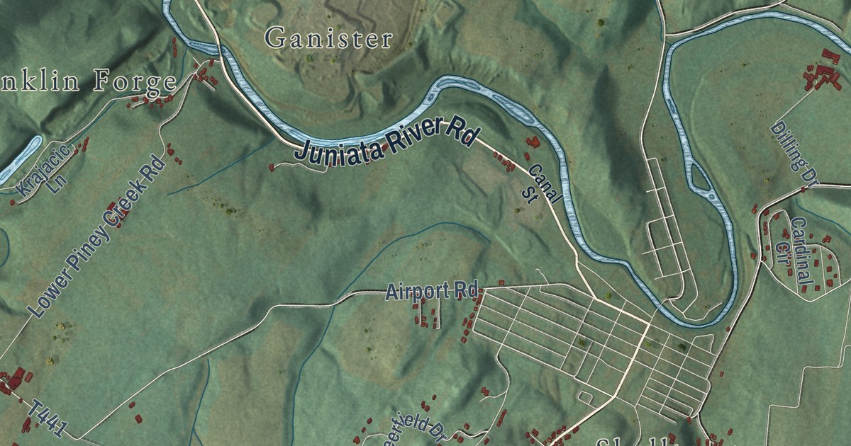
A detailed map of Woodbury, Blair County, Pennsylvania, showing every building in its true location, the roads by name, and shaded topographical relief.
Read More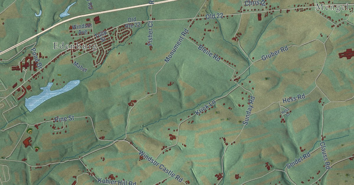
A detailed map of Windsor, Berks County, Pennsylvania, showing every building in its true location, the roads by name, and shaded topographical relief.
Read More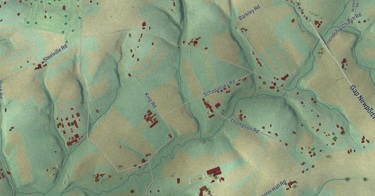
A detailed map of West Fallowfield, Chester County, Pennsylvania, showing every building in its true location, the roads by name, and shaded topographical relief.
Read More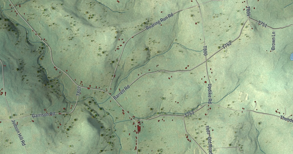
A detailed map of Wells, Bradford County, Pennsylvania, showing every building in its true location, the roads by name, and shaded topographical relief.
Read More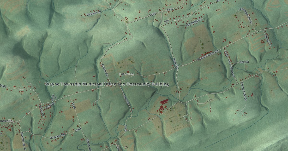
A detailed map of Wayne, Dauphin County, Pennsylvania, showing every building in its true location, the roads by name, and shaded topographical relief.
Read More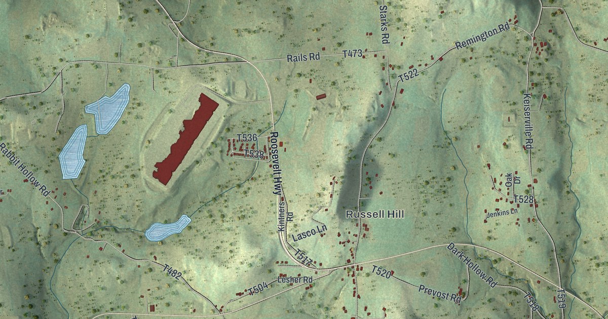
A detailed map of Washington, Wyoming County, Pennsylvania, showing every building in its true location, the roads by name, and shaded topographical relief.
Read More















