Detailed Map of Bridgewater, Susquehanna County, Pennsylvania
A detailed map of Bridgewater, Susquehanna County, Pennsylvania, showing every building in its true location, the roads by name, and shaded topographical relief.
Read More
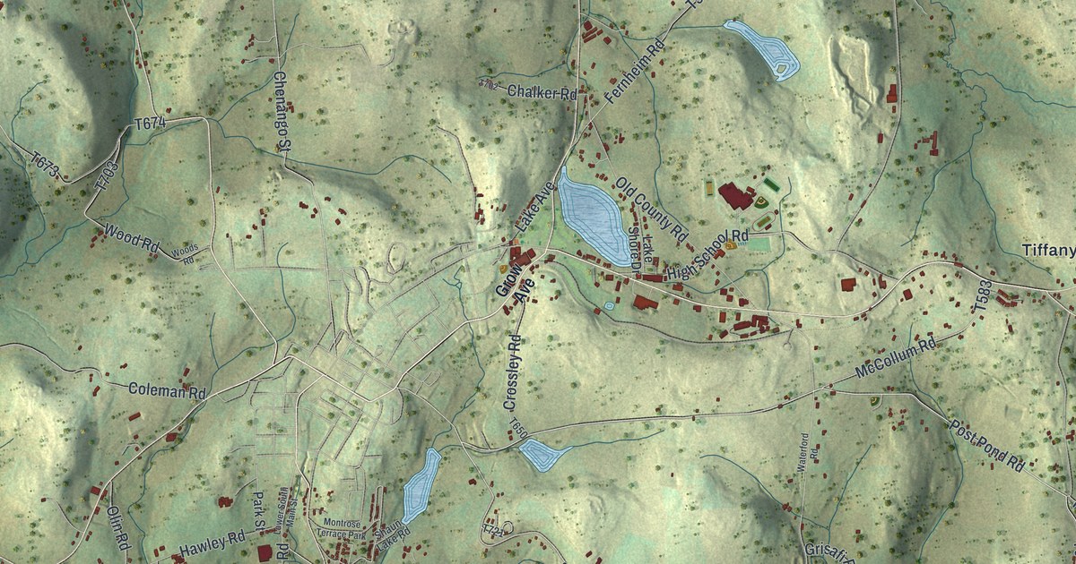
A detailed map of Bridgewater, Susquehanna County, Pennsylvania, showing every building in its true location, the roads by name, and shaded topographical relief.
Read More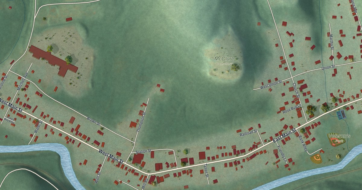
A detailed map of Big Run, Pennsylvania, showing every building in its true location, the roads by name, and shaded topographical relief.
Read More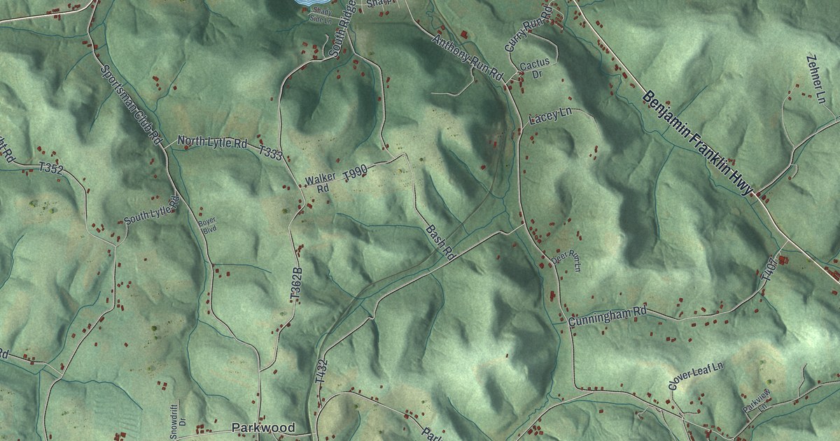
A detailed map of Armstrong, Indiana County, Pennsylvania, showing every building in its true location, the roads by name, and shaded topographical relief.
Read More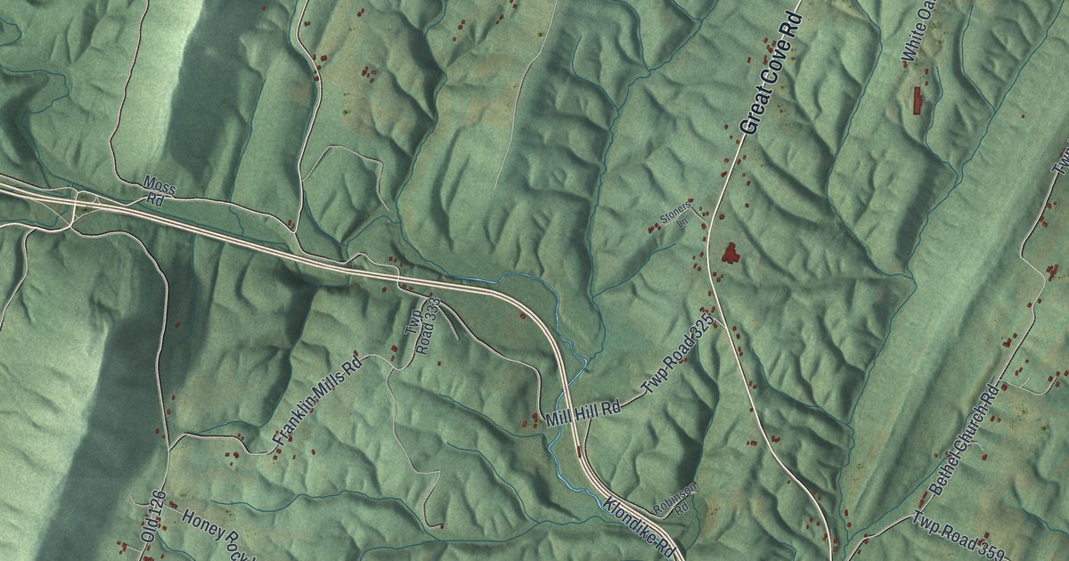
A detailed map of Bethel, Fulton County, Pennsylvania, showing every building in its true location, the roads by name, and shaded topographical relief.
Read More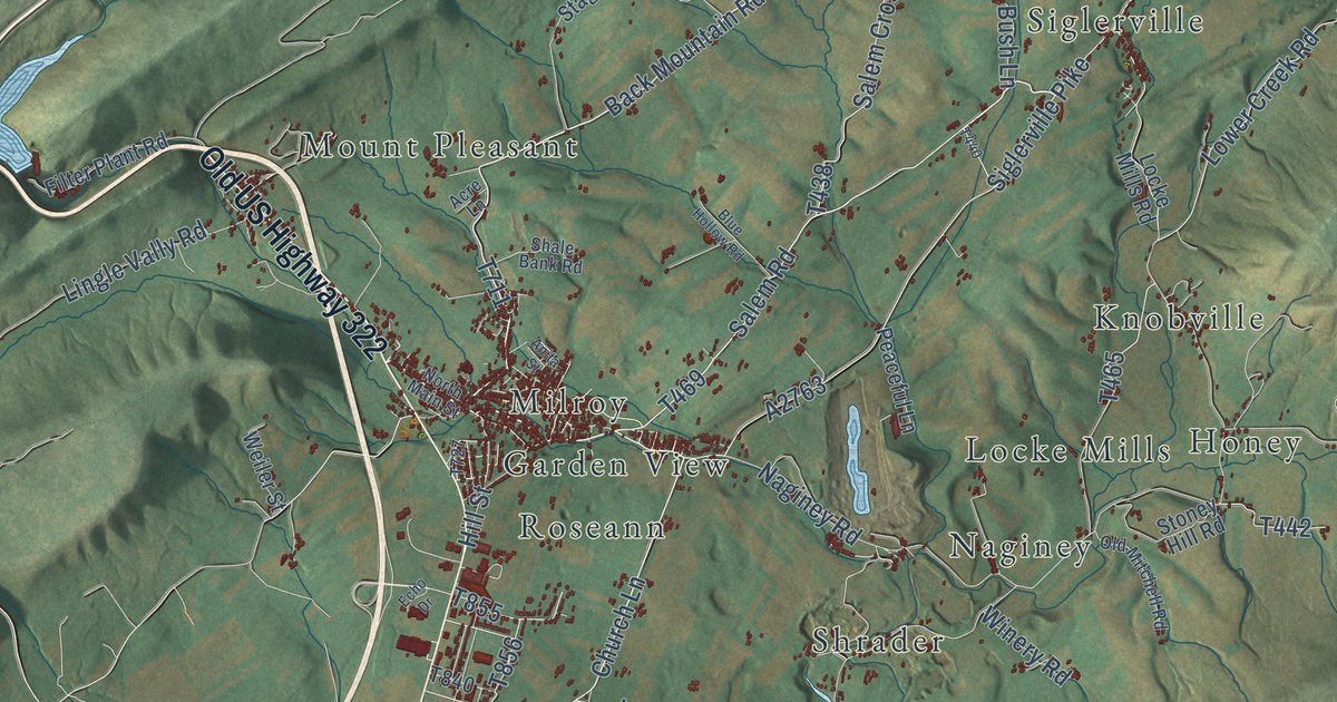
A detailed map of Armagh, Mifflin County, Pennsylvania, showing every building in its true location, the roads by name, and shaded topographical relief.
Read More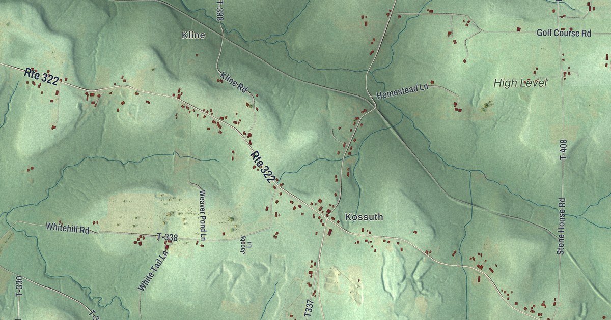
A detailed map of Ashland, Clarion County, Pennsylvania, showing every building in its true location, the roads by name, and shaded topographical relief.
Read More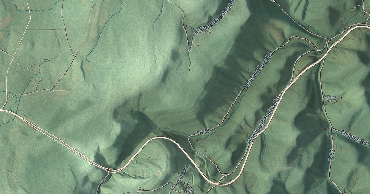
A detailed map of Allegheny, Somerset County, Pennsylvania, showing every building in its true location, the roads by name, and shaded topographical relief.
Read More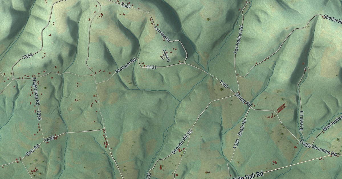
A detailed map of Anthony, Montour County, Pennsylvania, showing every building in its true location, the roads by name, and shaded topographical relief.
Read More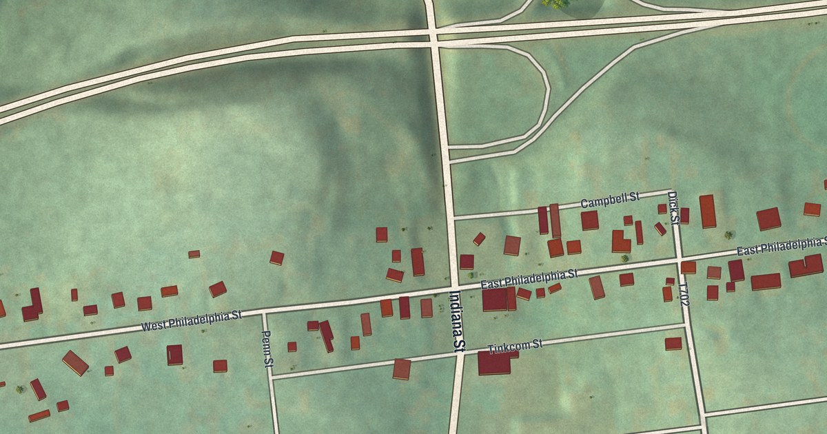
A detailed map of Armagh, Indiana County, Pennsylvania, showing every building in its true location, the roads by name, and shaded topographical relief.
Read More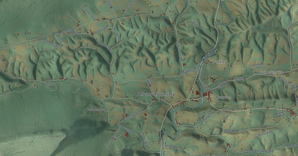
A detailed map of Albany, Berks County, Pennsylvania, showing every building in its true location, the roads by name, and shaded topographical relief.
Read More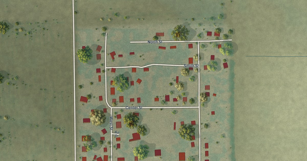
A detailed map of Wilson City, Missouri, showing every building in its true location, the roads by name, and shaded topographical relief.
Read More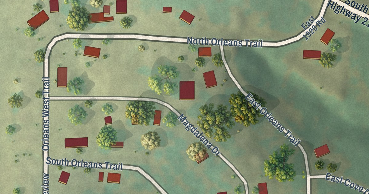
A detailed map of Umber View Heights, Missouri, showing every building in its true location, the roads by name, and shaded topographical relief.
Read More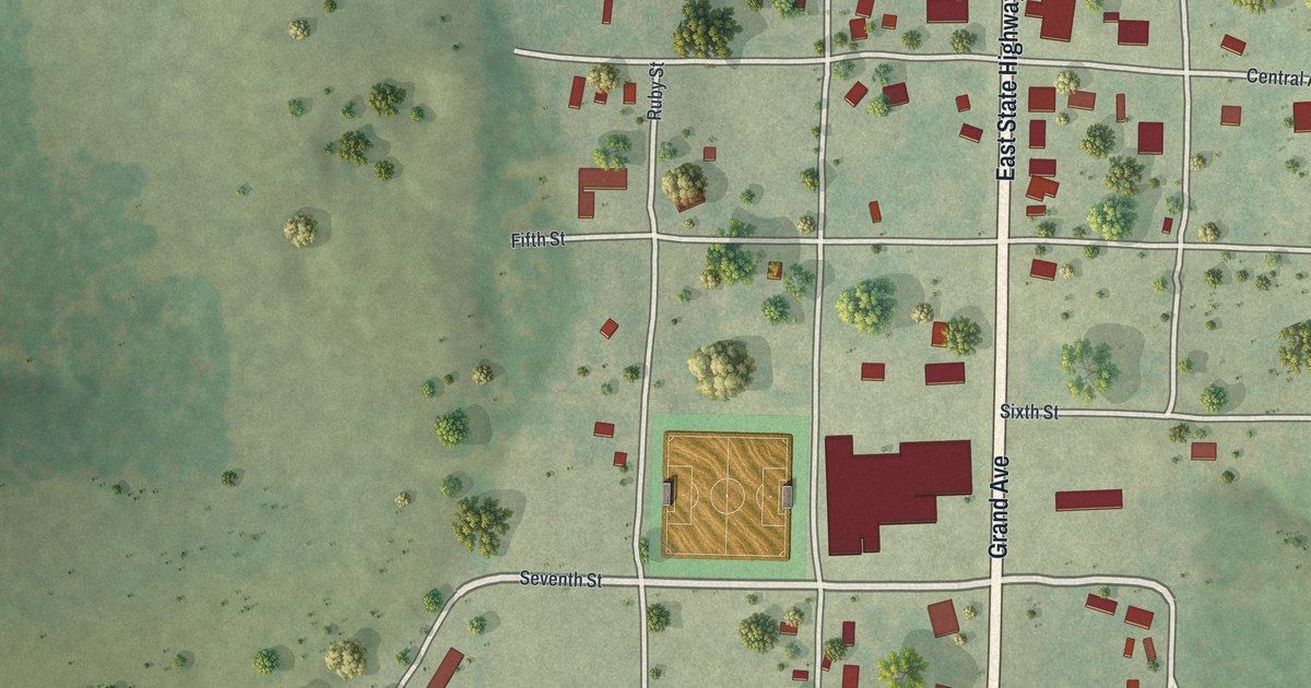
A detailed map of Taneyville, Missouri, showing every building in its true location, the roads by name, and shaded topographical relief.
Read More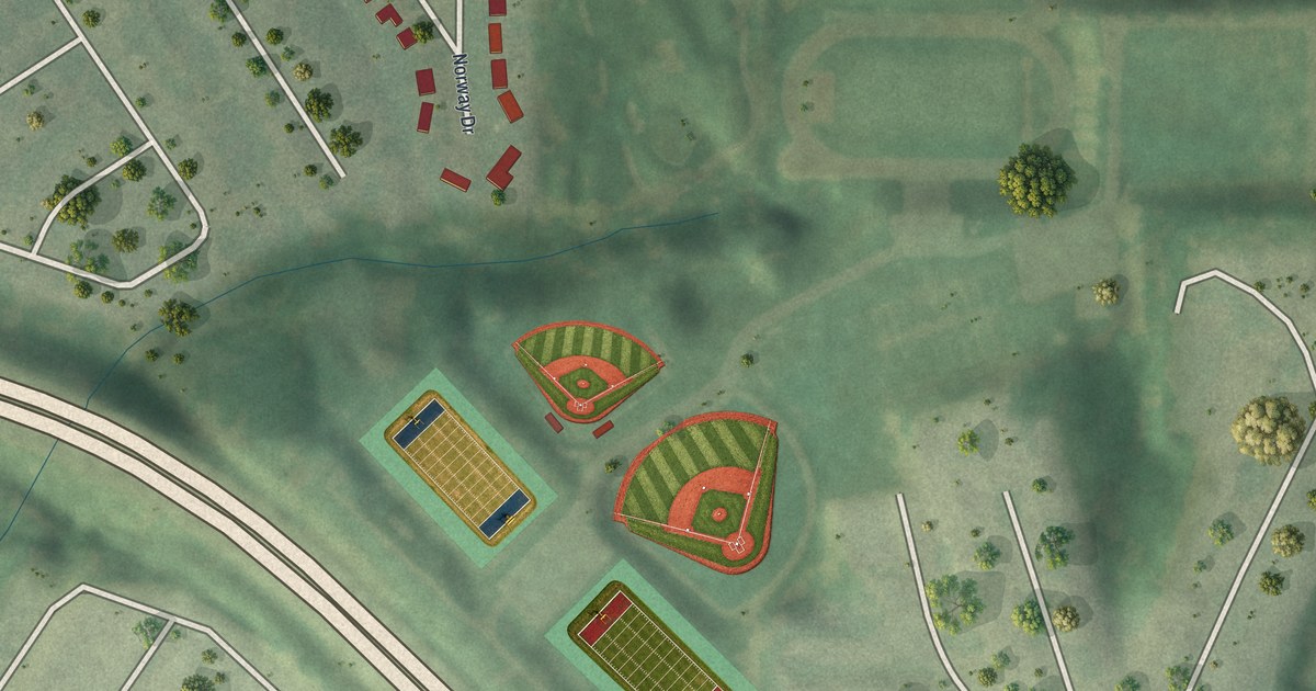
A detailed map of Norwood Court, Missouri, showing every building in its true location, the roads by name, and shaded topographical relief.
Read More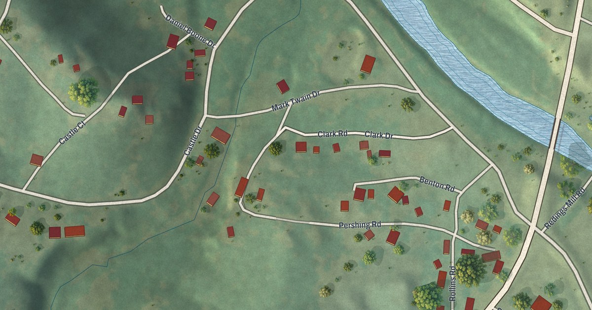
A detailed map of Redings Mill, Missouri, showing every building in its true location, the roads by name, and shaded topographical relief.
Read More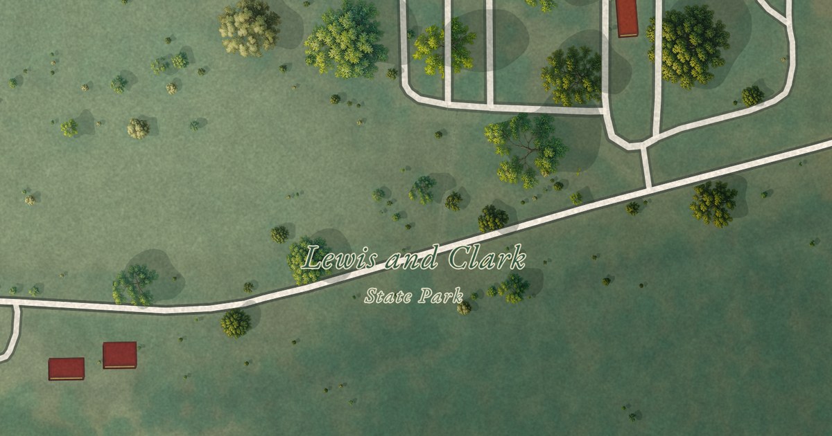
A detailed map of Lewis and Clark Village, Missouri, showing every building in its true location, the roads by name, and shaded topographical relief.
Read More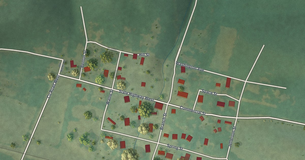
A detailed map of Ritchey, Missouri, showing every building in its true location, the roads by name, and shaded topographical relief.
Read More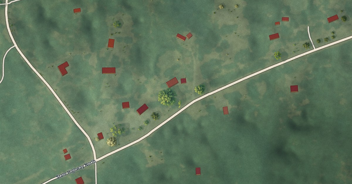
A detailed map of Pierpont, Missouri, showing every building in its true location, the roads by name, and shaded topographical relief.
Read More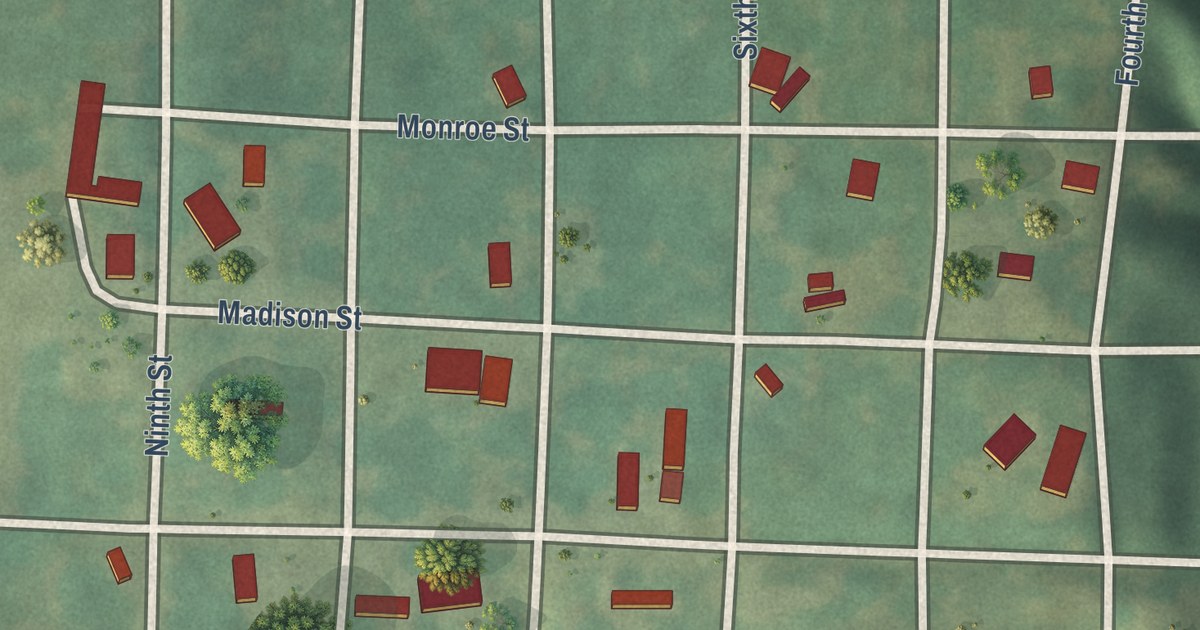
A detailed map of De Witt, Missouri, showing every building in its true location, the roads by name, and shaded topographical relief.
Read More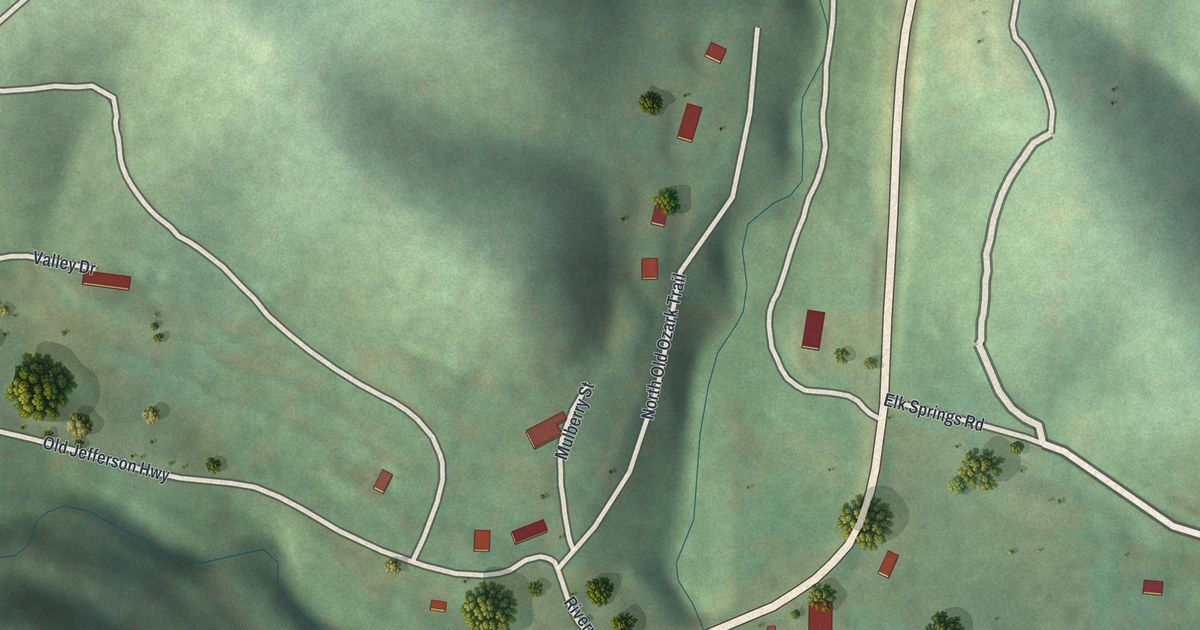
A detailed map of Ginger Blue, Missouri, showing every building in its true location, the roads by name, and shaded topographical relief.
Read More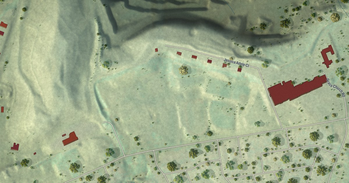
A detailed map of Champ, Missouri, showing every building in its true location, the roads by name, and shaded topographical relief.
Read More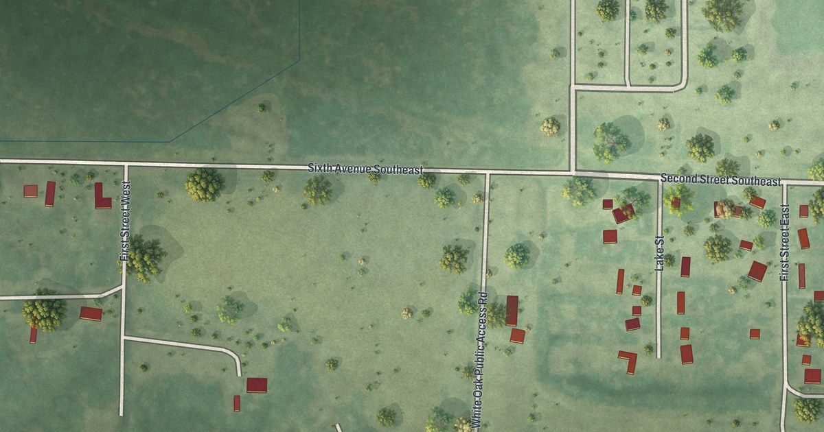
A detailed map of Zemple, Minnesota, showing every building in its true location, the roads by name, and shaded topographical relief.
Read More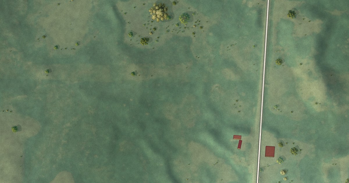
A detailed map of Wolf Lake, Minnesota, showing every building in its true location, the roads by name, and shaded topographical relief.
Read More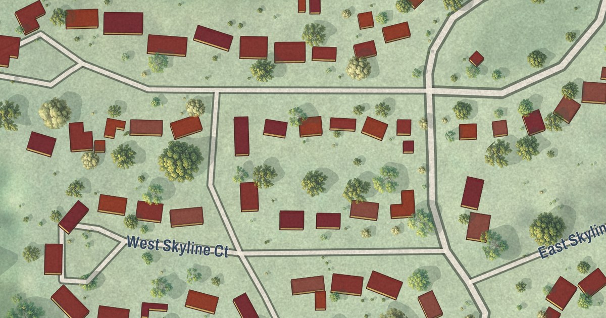
A detailed map of Skyline, Minnesota, showing every building in its true location, the roads by name, and shaded topographical relief.
Read More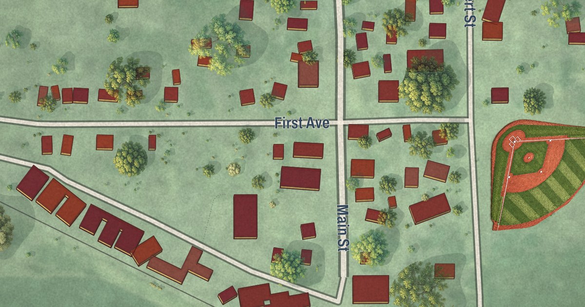
A detailed map of Myrtle, Minnesota, showing every building in its true location, the roads by name, and shaded topographical relief.
Read More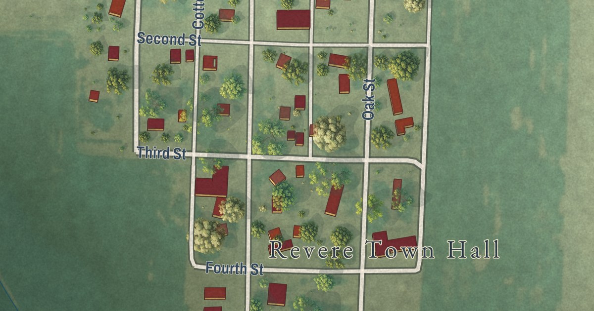
A detailed map of Revere, Minnesota, showing every building in its true location, the roads by name, and shaded topographical relief.
Read More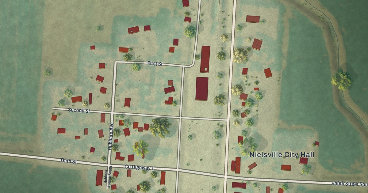
A detailed map of Nielsville, Minnesota, showing every building in its true location, the roads by name, and shaded topographical relief.
Read More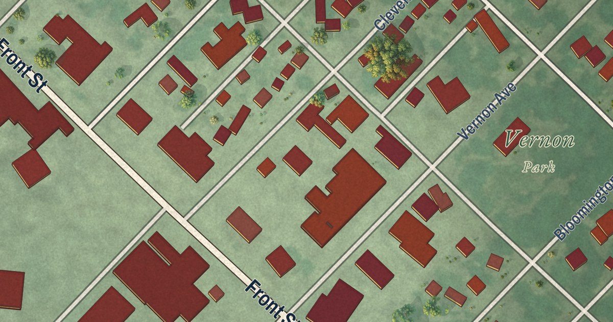
A detailed map of Morgan, Minnesota, showing every building in its true location, the roads by name, and shaded topographical relief.
Read More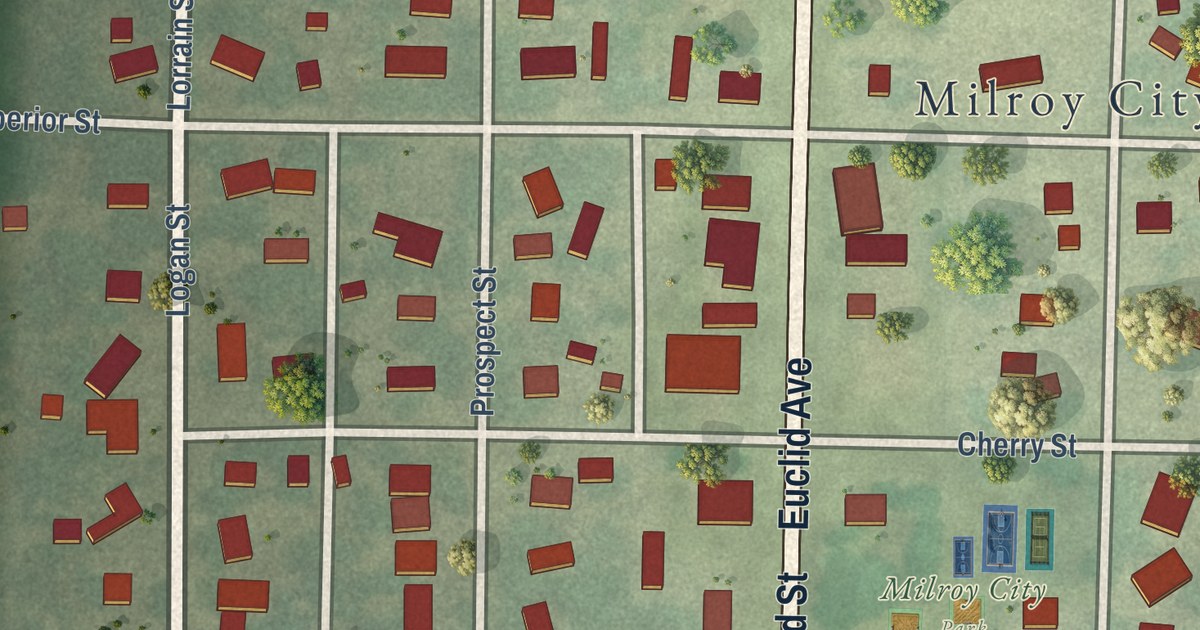
A detailed map of Milroy, Minnesota, showing every building in its true location, the roads by name, and shaded topographical relief.
Read More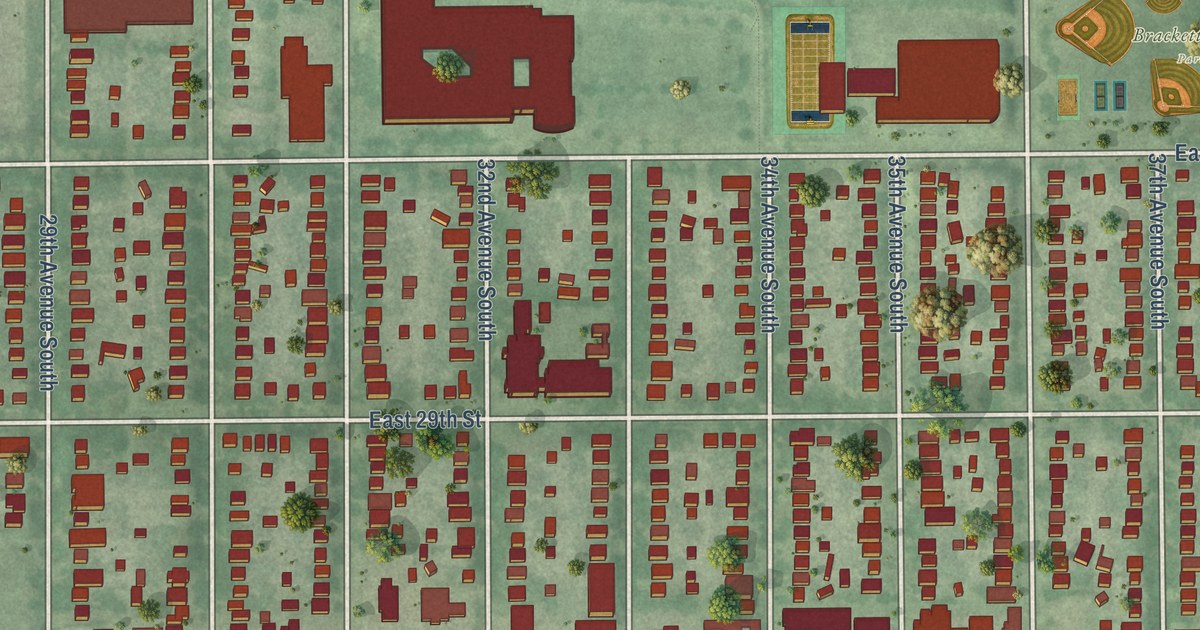
A detailed map of Longfellow, Minnesota, showing every building in its true location, the roads by name, and shaded topographical relief.
Read More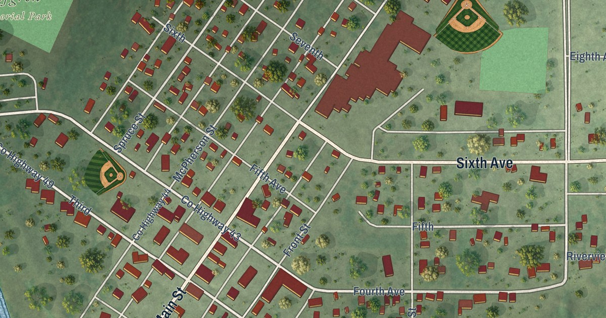
A detailed map of Littlefork, Minnesota, showing every building in its true location, the roads by name, and shaded topographical relief.
Read More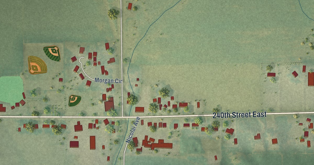
A detailed map of Miesville, Minnesota, showing every building in its true location, the roads by name, and shaded topographical relief.
Read More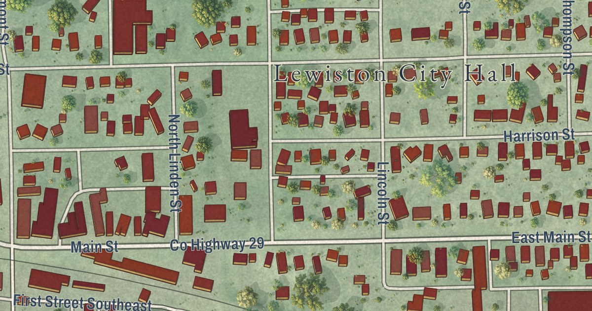
A detailed map of Lewiston, Minnesota, showing every building in its true location, the roads by name, and shaded topographical relief.
Read More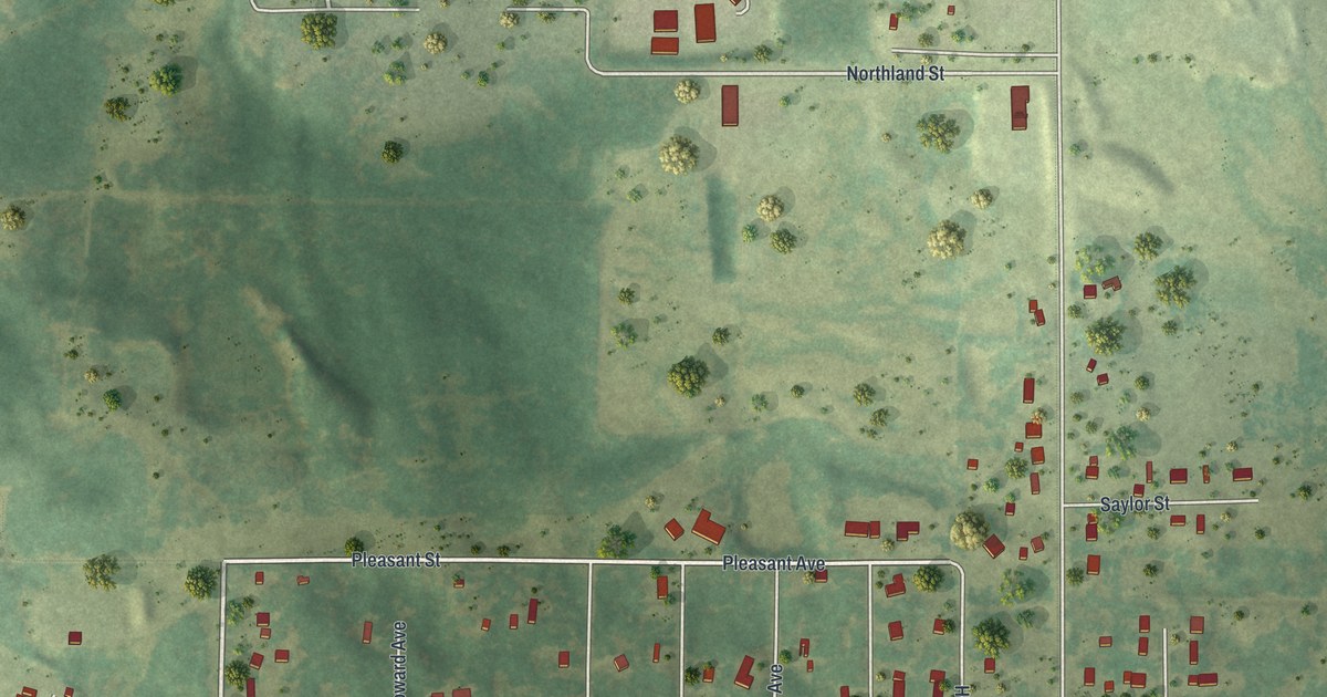
A detailed map of La Prairie, Minnesota, showing every building in its true location, the roads by name, and shaded topographical relief.
Read More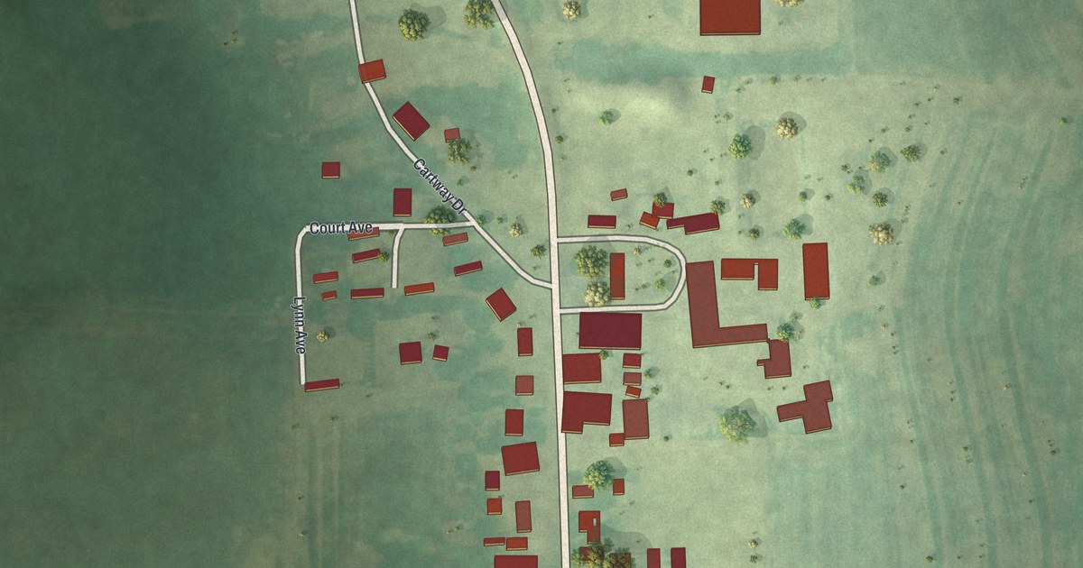
A detailed map of Lake Henry, Minnesota, showing every building in its true location, the roads by name, and shaded topographical relief.
Read More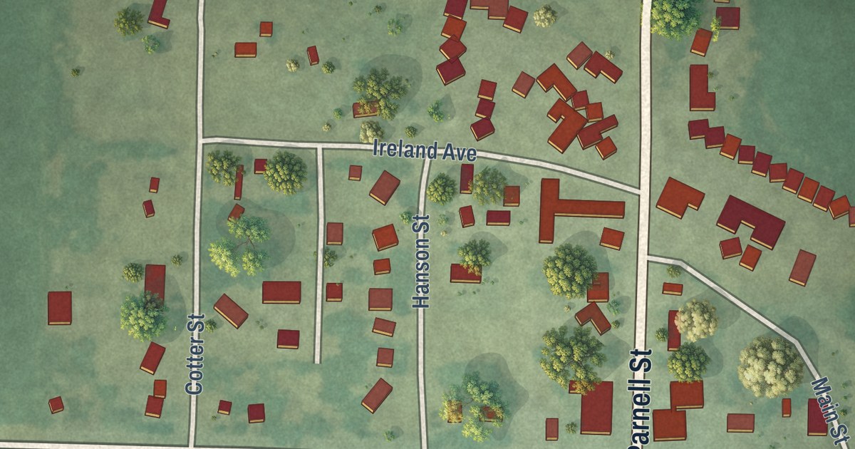
A detailed map of Iona, Minnesota, showing every building in its true location, the roads by name, and shaded topographical relief.
Read More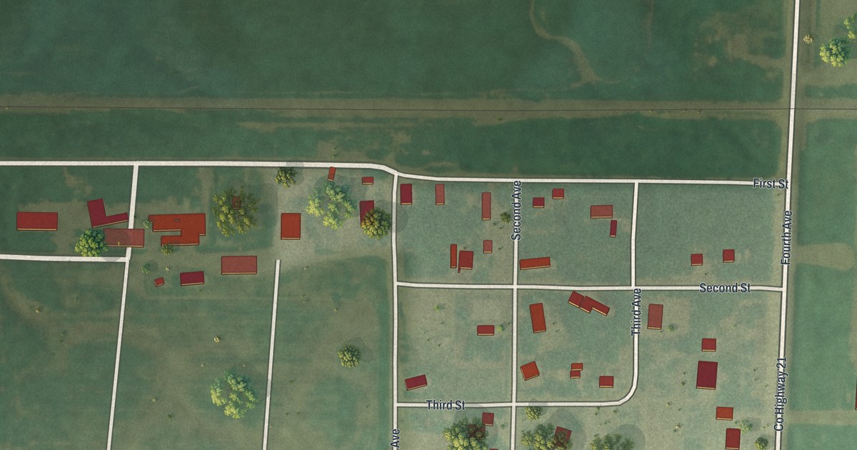
A detailed map of Johnson, Minnesota, showing every building in its true location, the roads by name, and shaded topographical relief.
Read More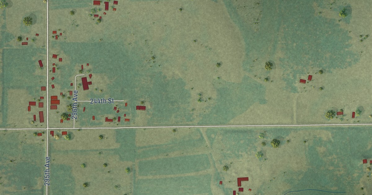
A detailed map of Harding, Minnesota, showing every building in its true location, the roads by name, and shaded topographical relief.
Read More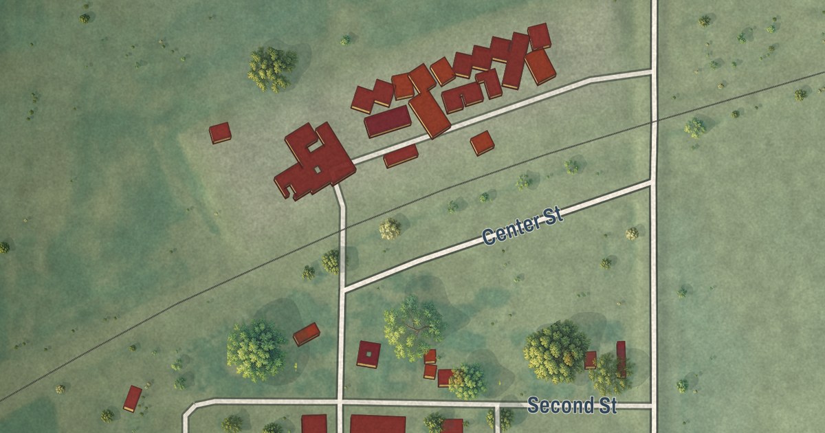
A detailed map of Cobden, Minnesota, showing every building in its true location, the roads by name, and shaded topographical relief.
Read More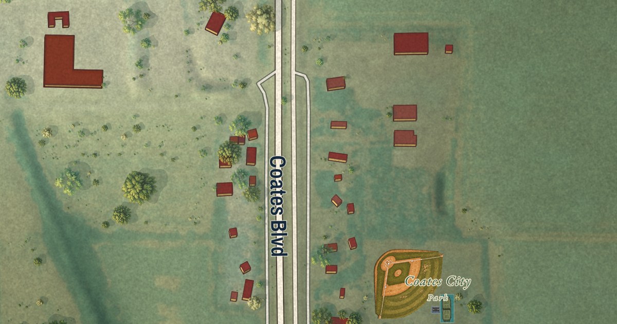
A detailed map of Coates, Minnesota, showing every building in its true location, the roads by name, and shaded topographical relief.
Read More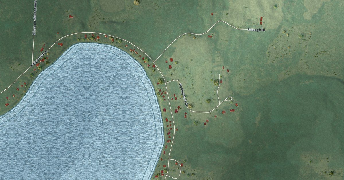
A detailed map of Chickamaw Beach, Minnesota, showing every building in its true location, the roads by name, and shaded topographical relief.
Read More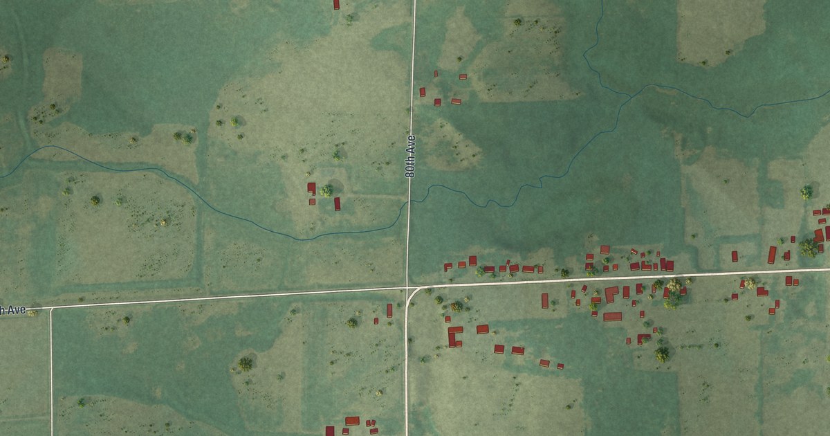
A detailed map of Elmdale, Minnesota, showing every building in its true location, the roads by name, and shaded topographical relief.
Read More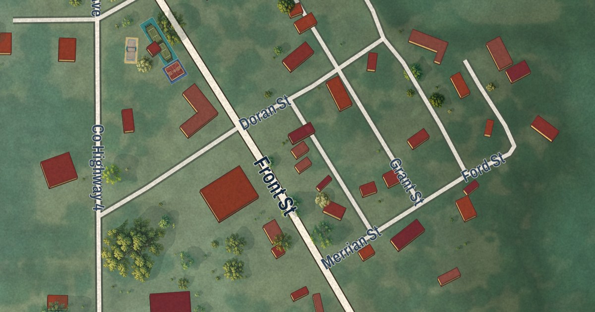
A detailed map of Biscay, Minnesota, showing every building in its true location, the roads by name, and shaded topographical relief.
Read More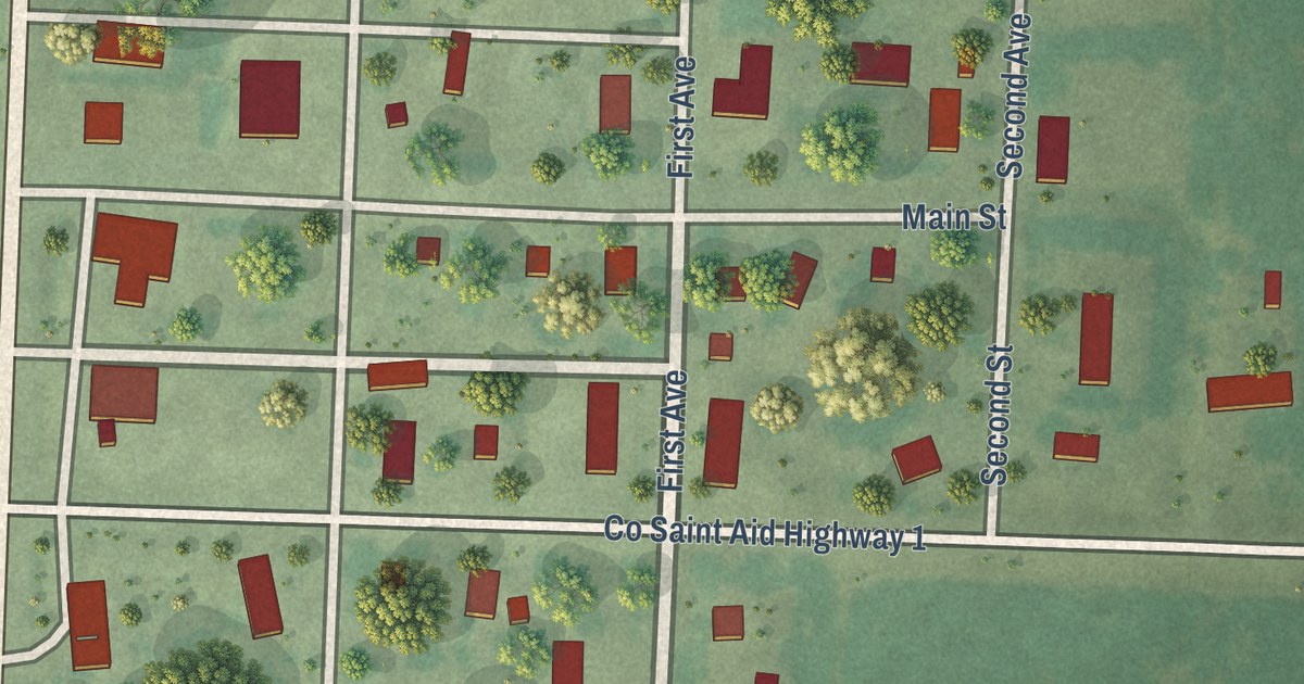
A detailed map of Bejou, Minnesota, showing every building in its true location, the roads by name, and shaded topographical relief.
Read More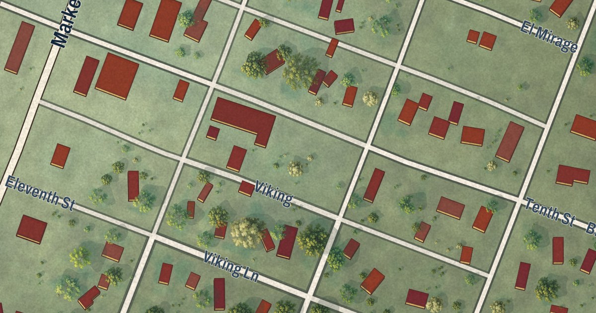
A detailed map of Bigelow, Minnesota, showing every building in its true location, the roads by name, and shaded topographical relief.
Read More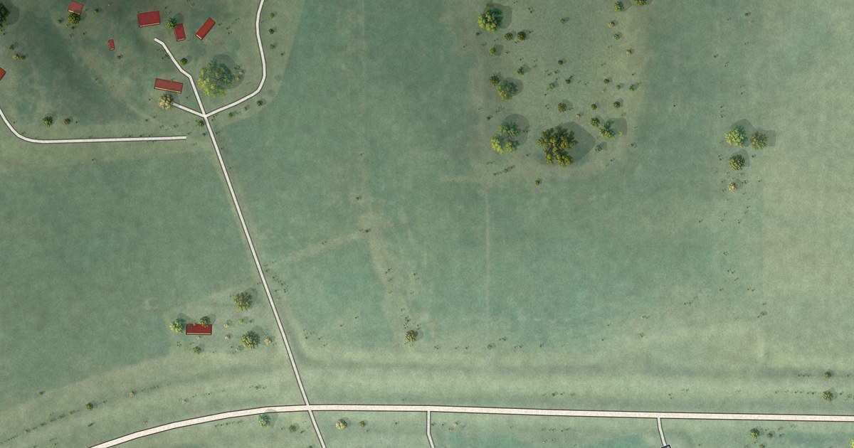
A detailed map of Bingham Lake, Minnesota, showing every building in its true location, the roads by name, and shaded topographical relief.
Read More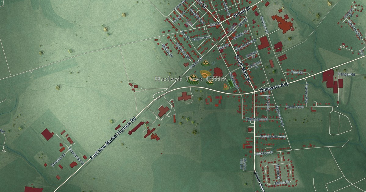
A detailed map of Hurlock, Maryland, showing every building in its true location, the roads by name, and shaded topographical relief.
Read More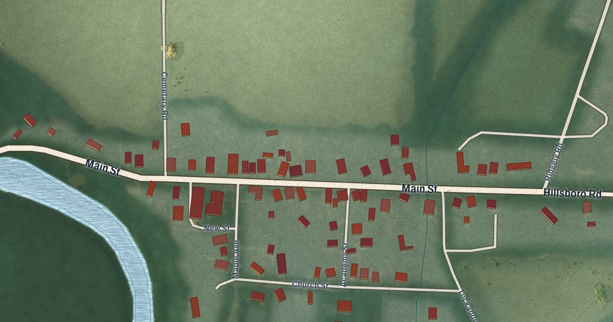
A detailed map of Hillsboro, Maryland, showing every building in its true location, the roads by name, and shaded topographical relief.
Read More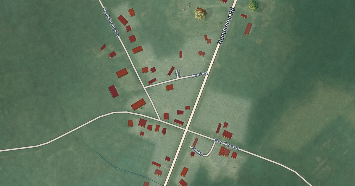
A detailed map of Henderson, Maryland, showing every building in its true location, the roads by name, and shaded topographical relief.
Read More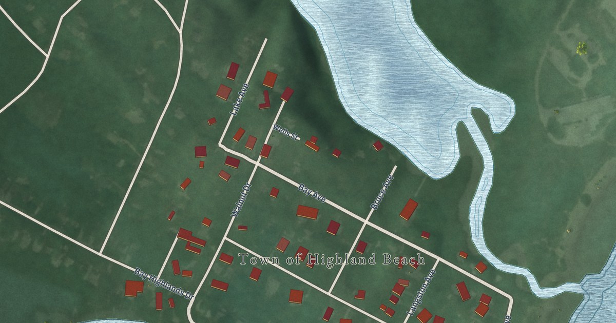
A detailed map of Highland Beach, Maryland, showing every building in its true location, the roads by name, and shaded topographical relief.
Read More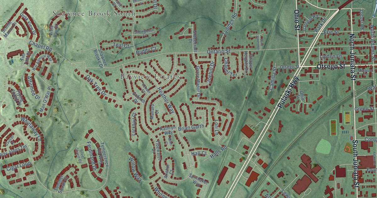
A detailed map of Havre de Grace, Maryland, showing every building in its true location, the roads by name, and shaded topographical relief.
Read More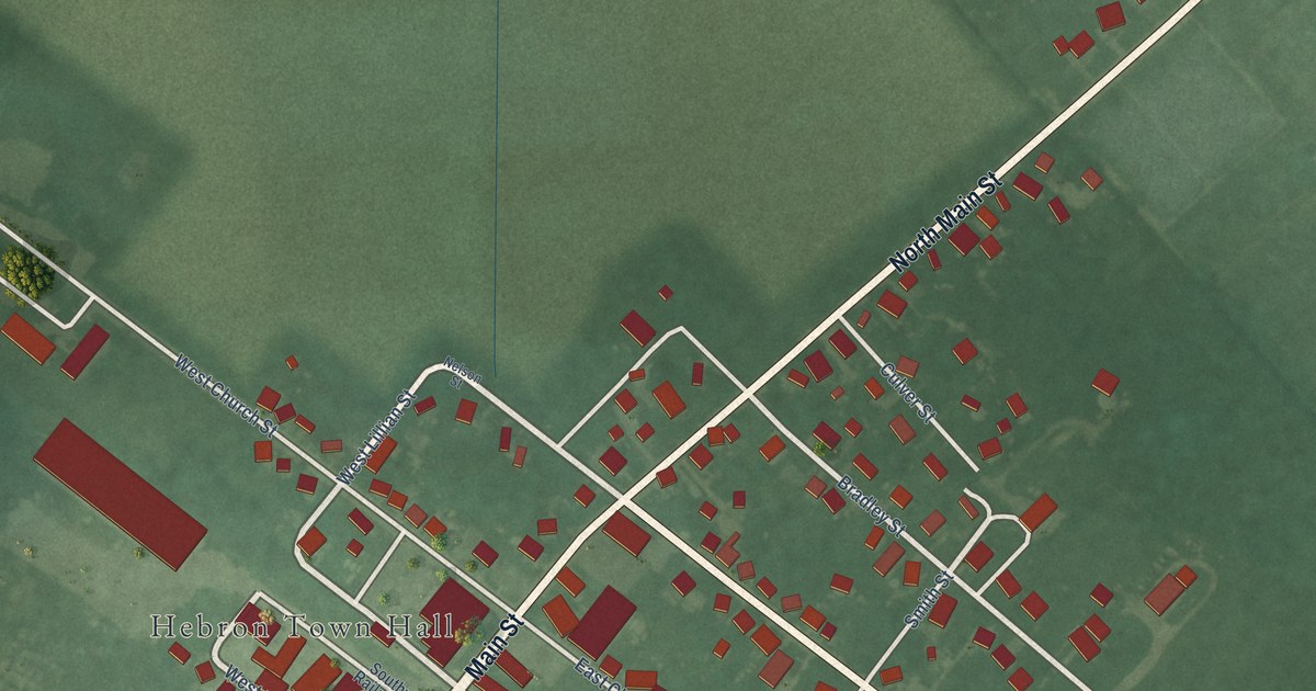
A detailed map of Hebron, Maryland, showing every building in its true location, the roads by name, and shaded topographical relief.
Read More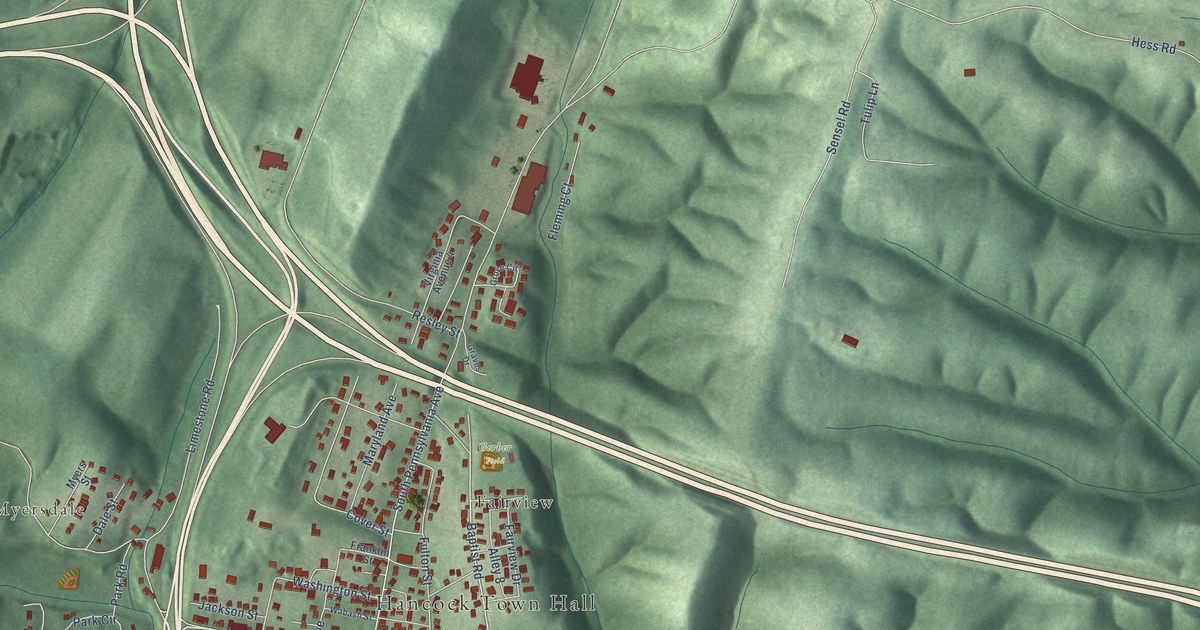
A detailed map of Hancock, Maryland, showing every building in its true location, the roads by name, and shaded topographical relief.
Read More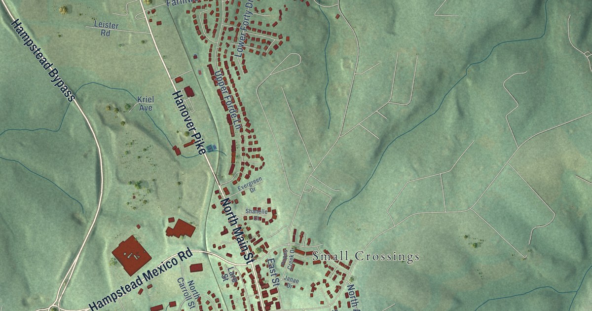
A detailed map of Hampstead, Maryland, showing every building in its true location, the roads by name, and shaded topographical relief.
Read More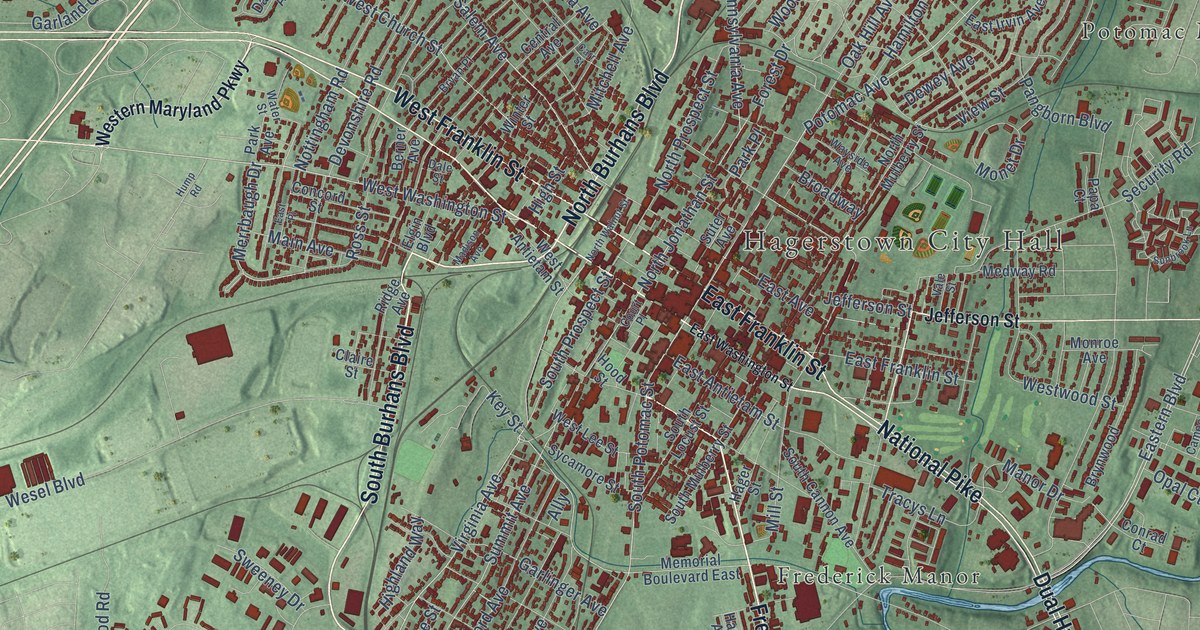
A detailed map of Hagerstown, Maryland, showing every building in its true location, the roads by name, and shaded topographical relief.
Read More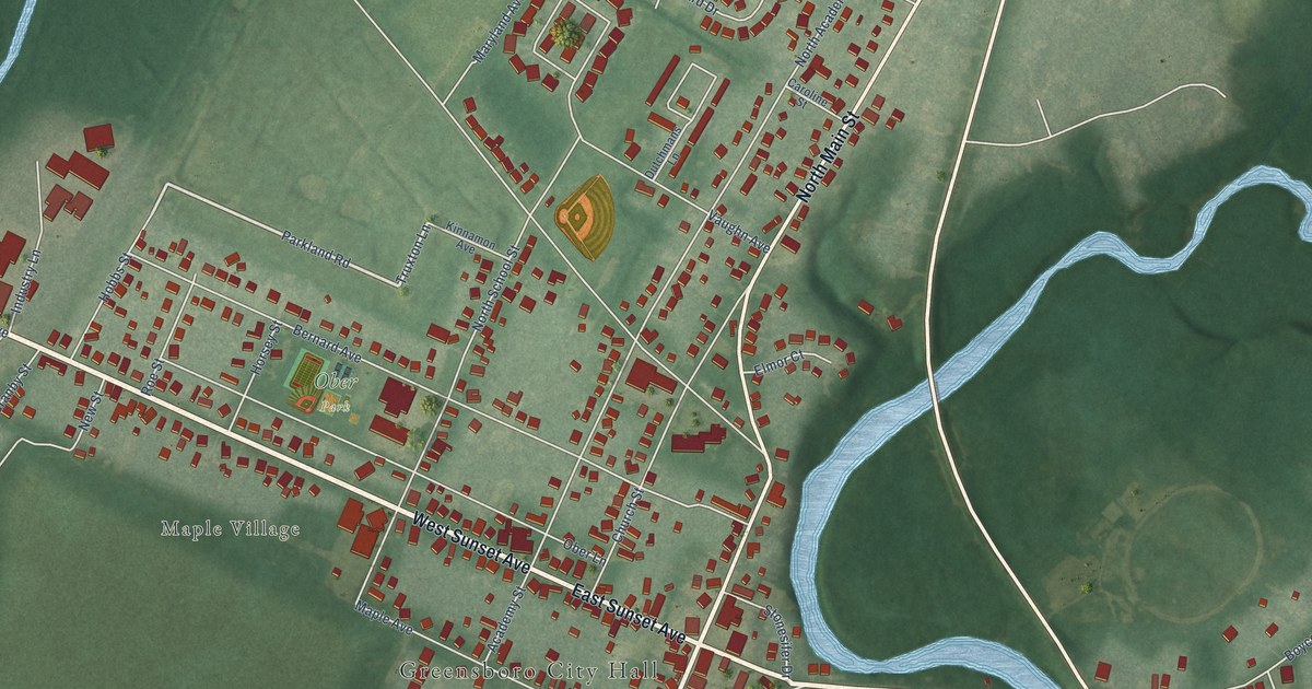
A detailed map of Greensboro, Maryland, showing every building in its true location, the roads by name, and shaded topographical relief.
Read More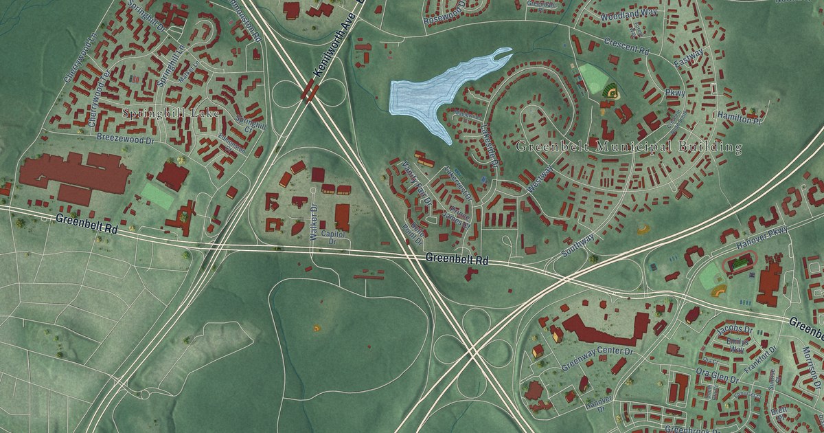
A detailed map of Greenbelt, Maryland, showing every building in its true location, the roads by name, and shaded topographical relief.
Read More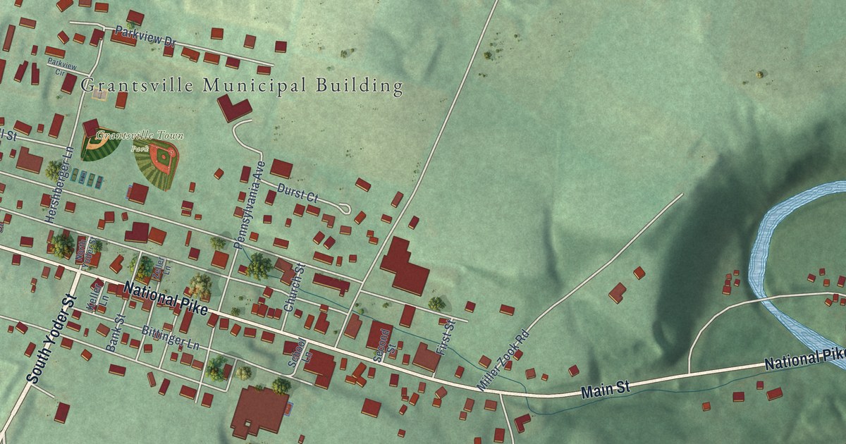
A detailed map of Grantsville, Maryland, showing every building in its true location, the roads by name, and shaded topographical relief.
Read More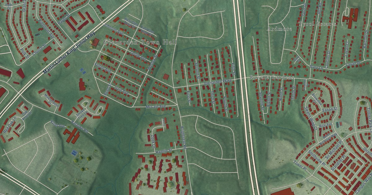
A detailed map of Glenarden, Maryland, showing every building in its true location, the roads by name, and shaded topographical relief.
Read More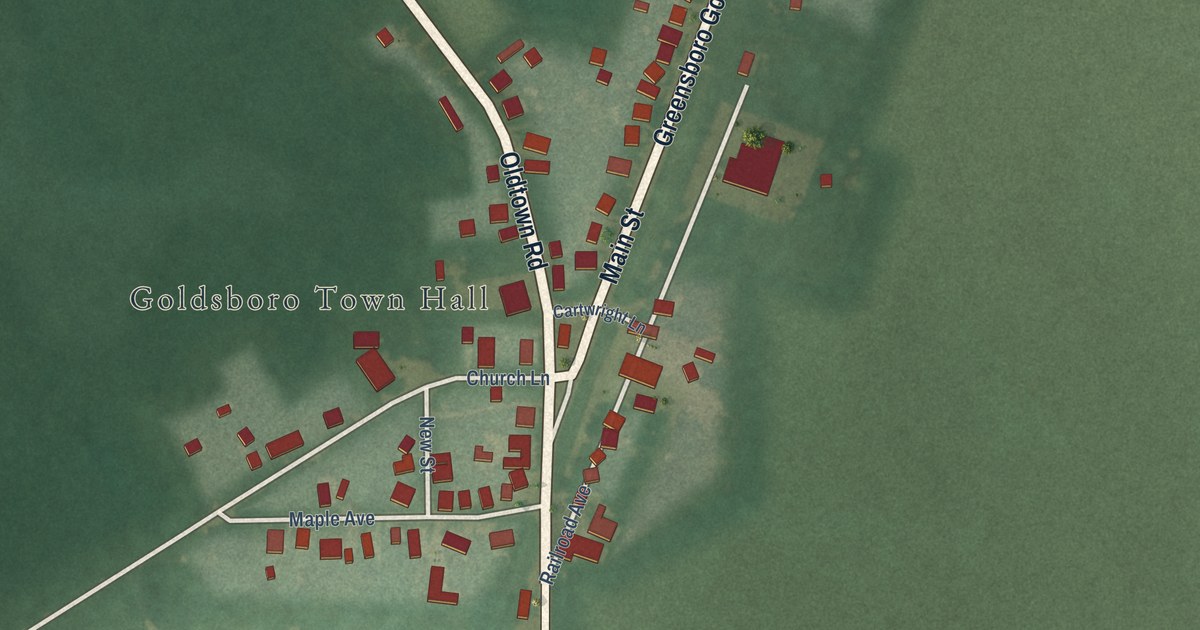
A detailed map of Goldsboro, Maryland, showing every building in its true location, the roads by name, and shaded topographical relief.
Read More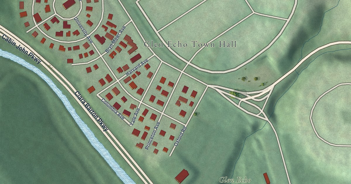
A detailed map of Glen Echo, Maryland, showing every building in its true location, the roads by name, and shaded topographical relief.
Read More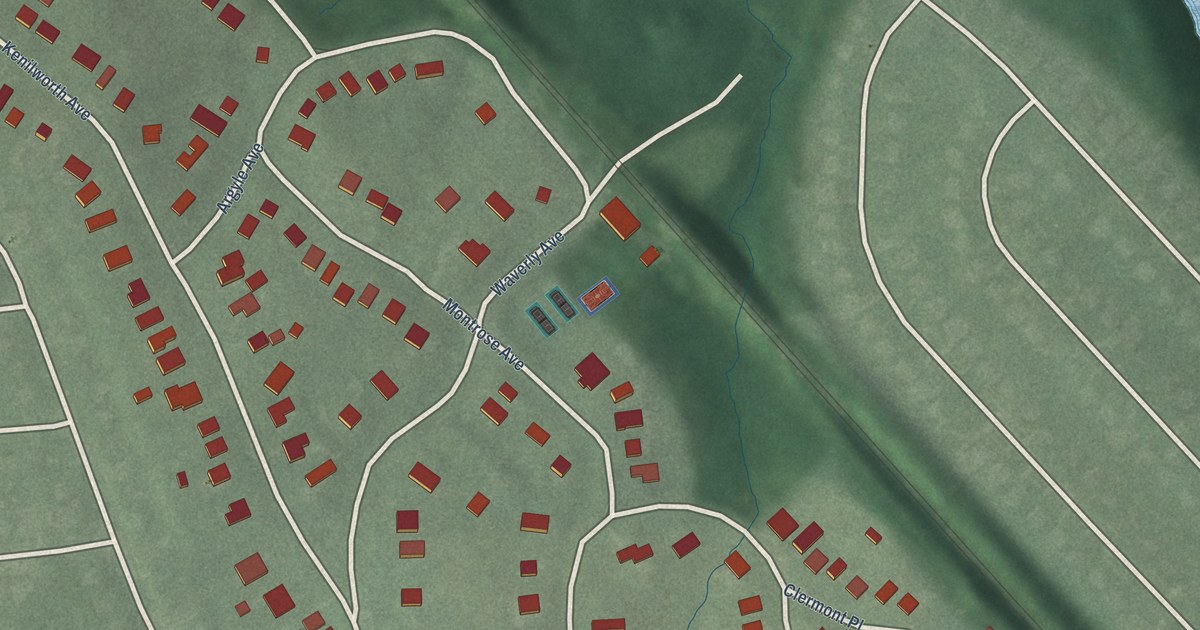
A detailed map of Garrett Park, Maryland, showing every building in its true location, the roads by name, and shaded topographical relief.
Read More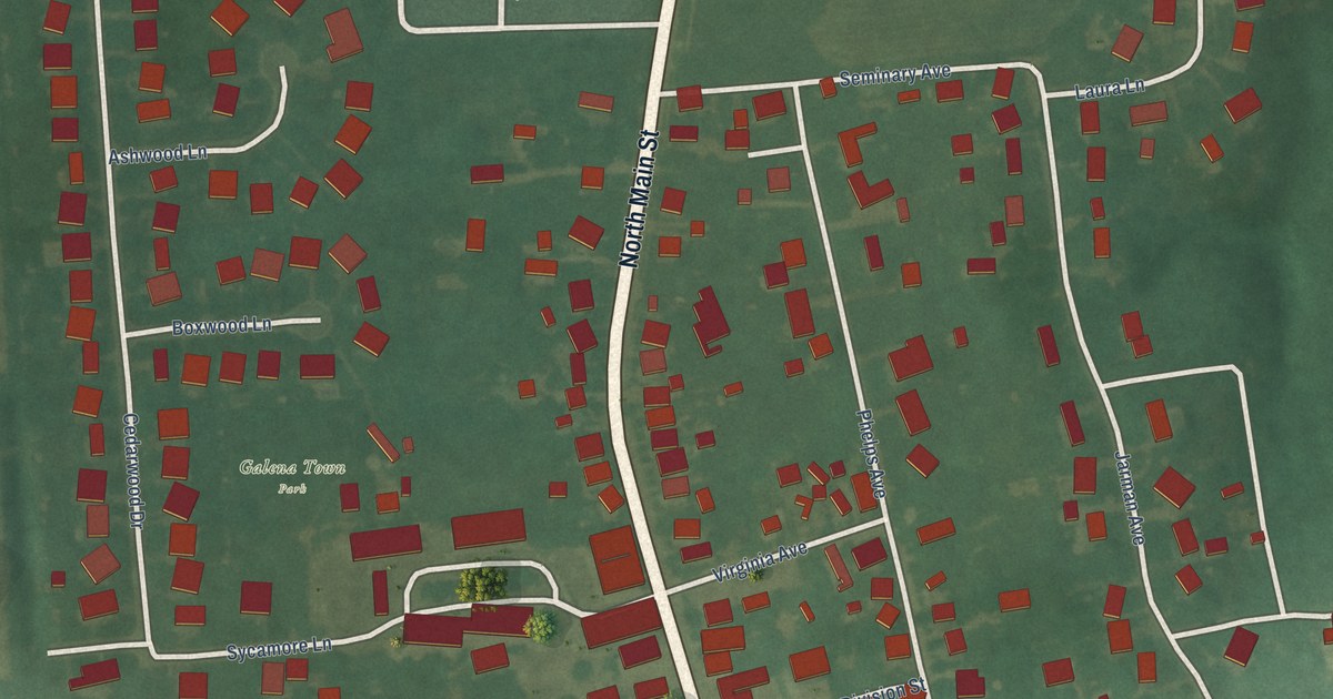
A detailed map of Galena, Maryland, showing every building in its true location, the roads by name, and shaded topographical relief.
Read More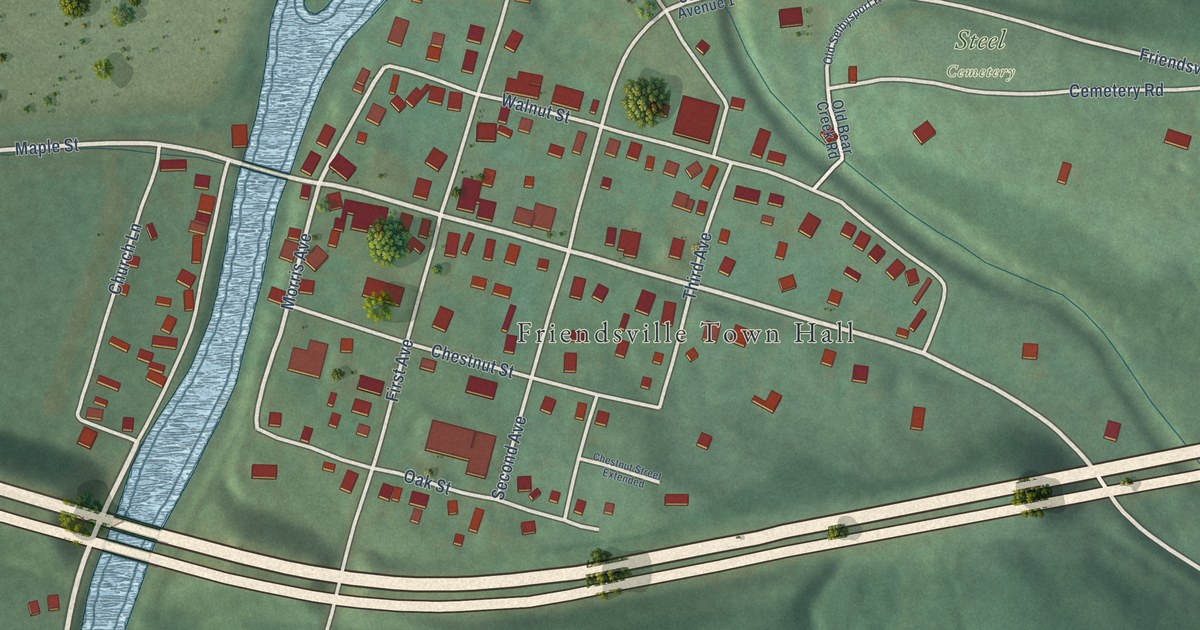
A detailed map of Friendsville, Maryland, showing every building in its true location, the roads by name, and shaded topographical relief.
Read More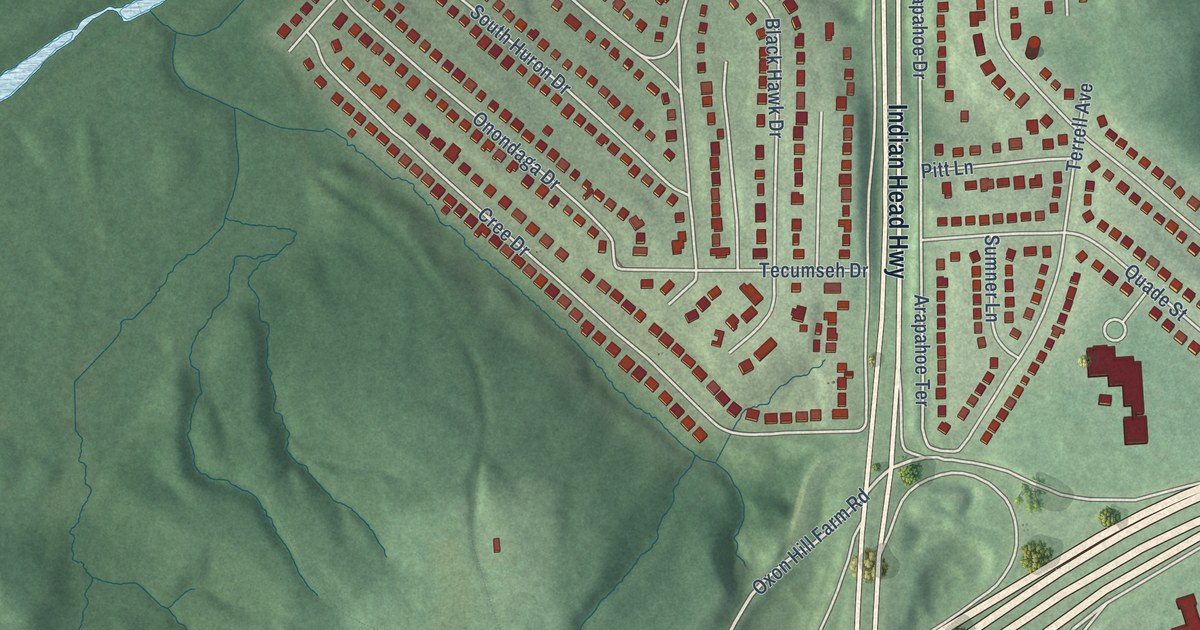
A detailed map of Forest Heights, Maryland, showing every building in its true location, the roads by name, and shaded topographical relief.
Read More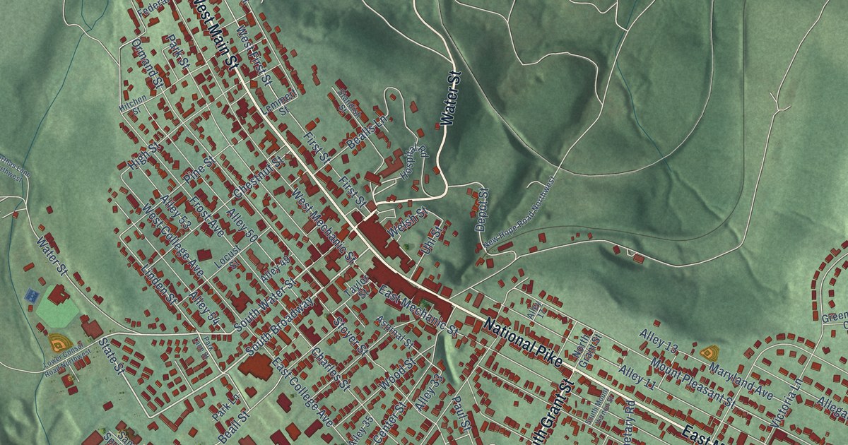
A detailed map of Frostburg, Maryland, showing every building in its true location, the roads by name, and shaded topographical relief.
Read More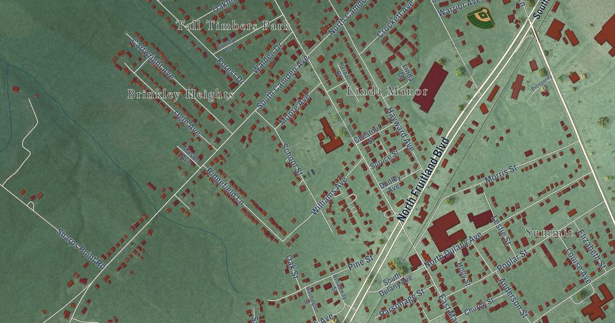
A detailed map of Fruitland, Maryland, showing every building in its true location, the roads by name, and shaded topographical relief.
Read More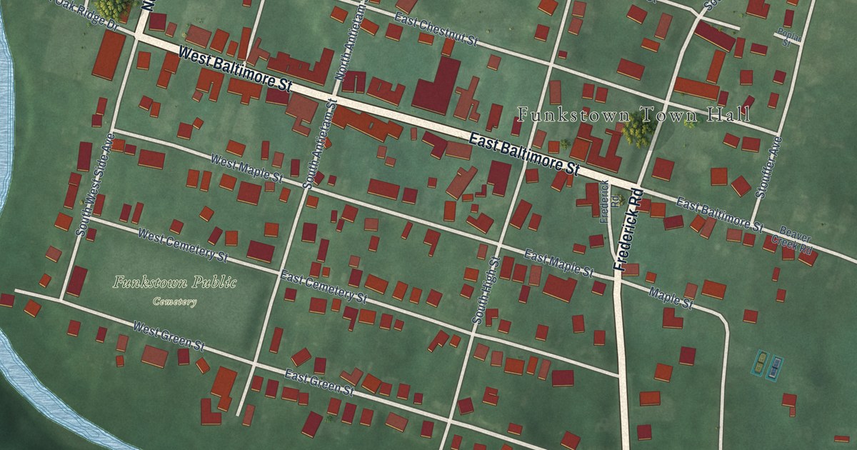
A detailed map of Funkstown, Maryland, showing every building in its true location, the roads by name, and shaded topographical relief.
Read More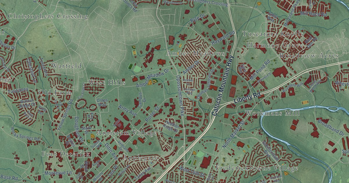
A detailed map of Frederick, Maryland, showing every building in its true location, the roads by name, and shaded topographical relief.
Read More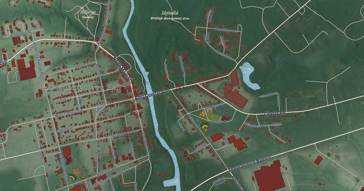
A detailed map of Federalsburg, Maryland, showing every building in its true location, the roads by name, and shaded topographical relief.
Read More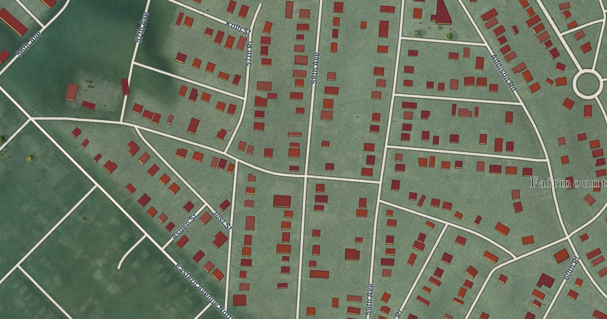
A detailed map of Fairmount Heights, Maryland, showing every building in its true location, the roads by name, and shaded topographical relief.
Read More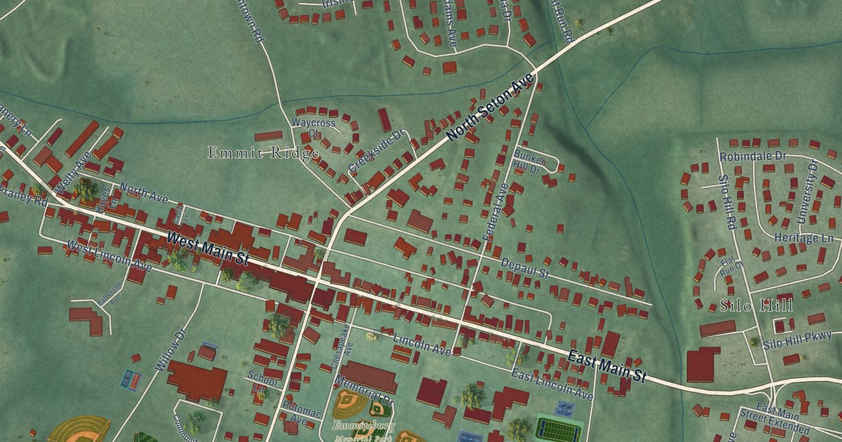
A detailed map of Emmitsburg, Maryland, showing every building in its true location, the roads by name, and shaded topographical relief.
Read More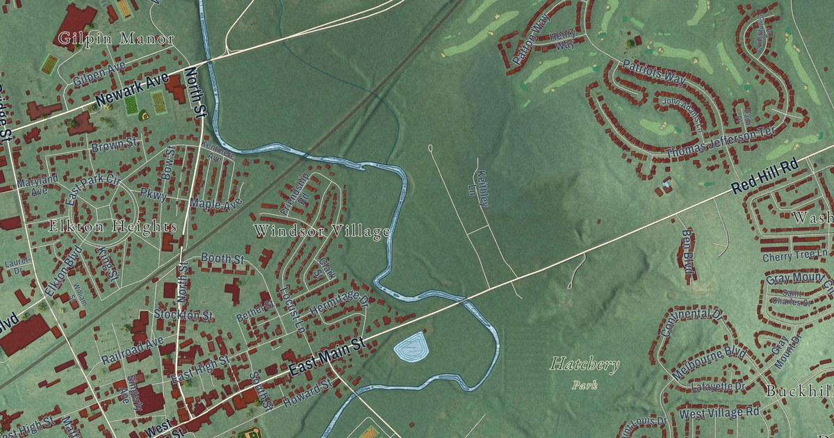
A detailed map of Elkton, Maryland, showing every building in its true location, the roads by name, and shaded topographical relief.
Read More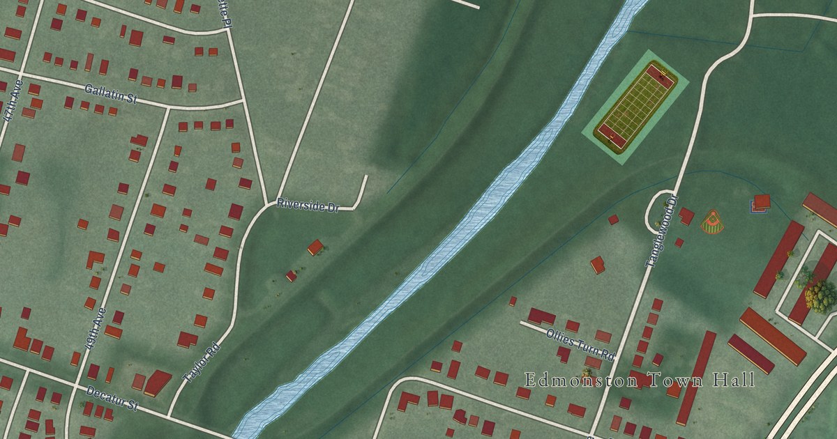
A detailed map of Edmonston, Maryland, showing every building in its true location, the roads by name, and shaded topographical relief.
Read More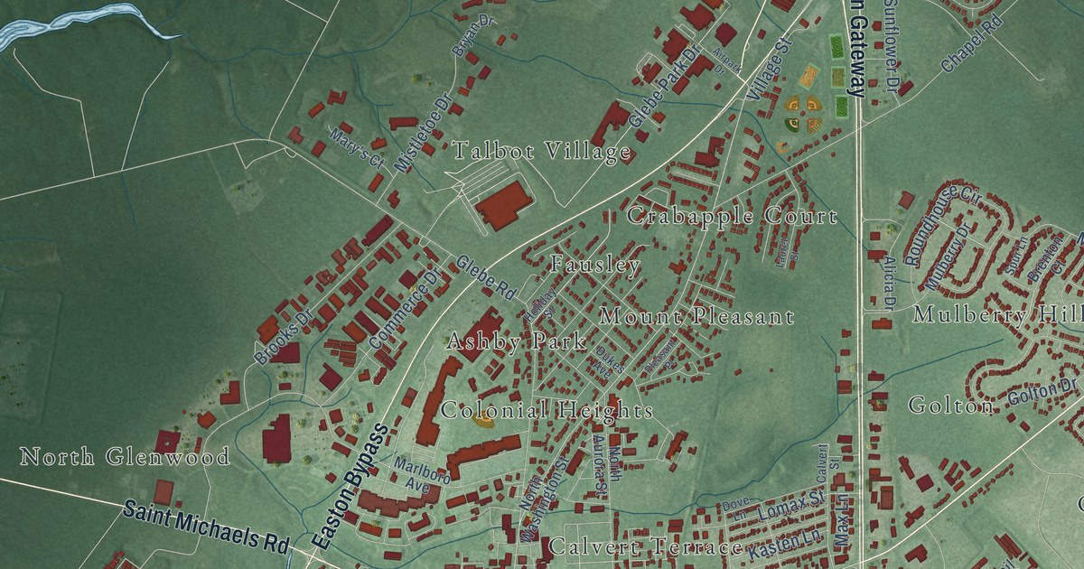
A detailed map of Easton, Maryland, showing every building in its true location, the roads by name, and shaded topographical relief.
Read More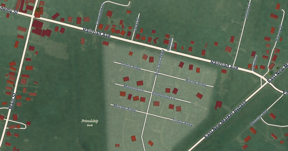
A detailed map of East New Market, Maryland, showing every building in its true location, the roads by name, and shaded topographical relief.
Read More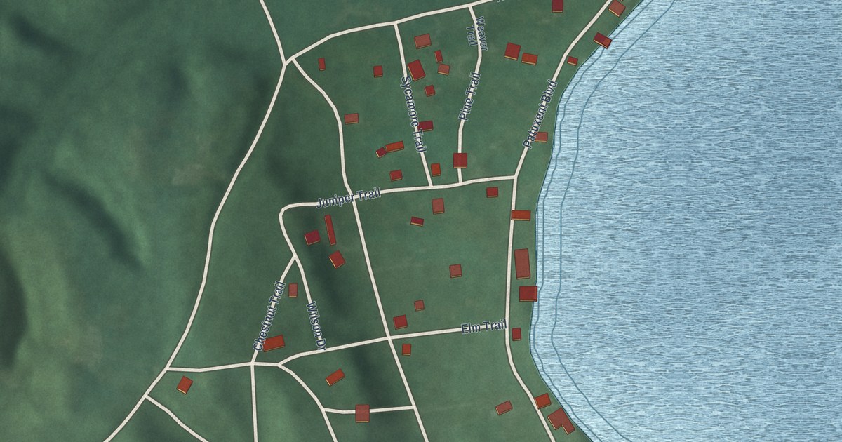
A detailed map of Eagle Harbor, Maryland, showing every building in its true location, the roads by name, and shaded topographical relief.
Read More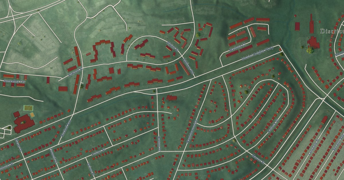
A detailed map of District Heights, Maryland, showing every building in its true location, the roads by name, and shaded topographical relief.
Read More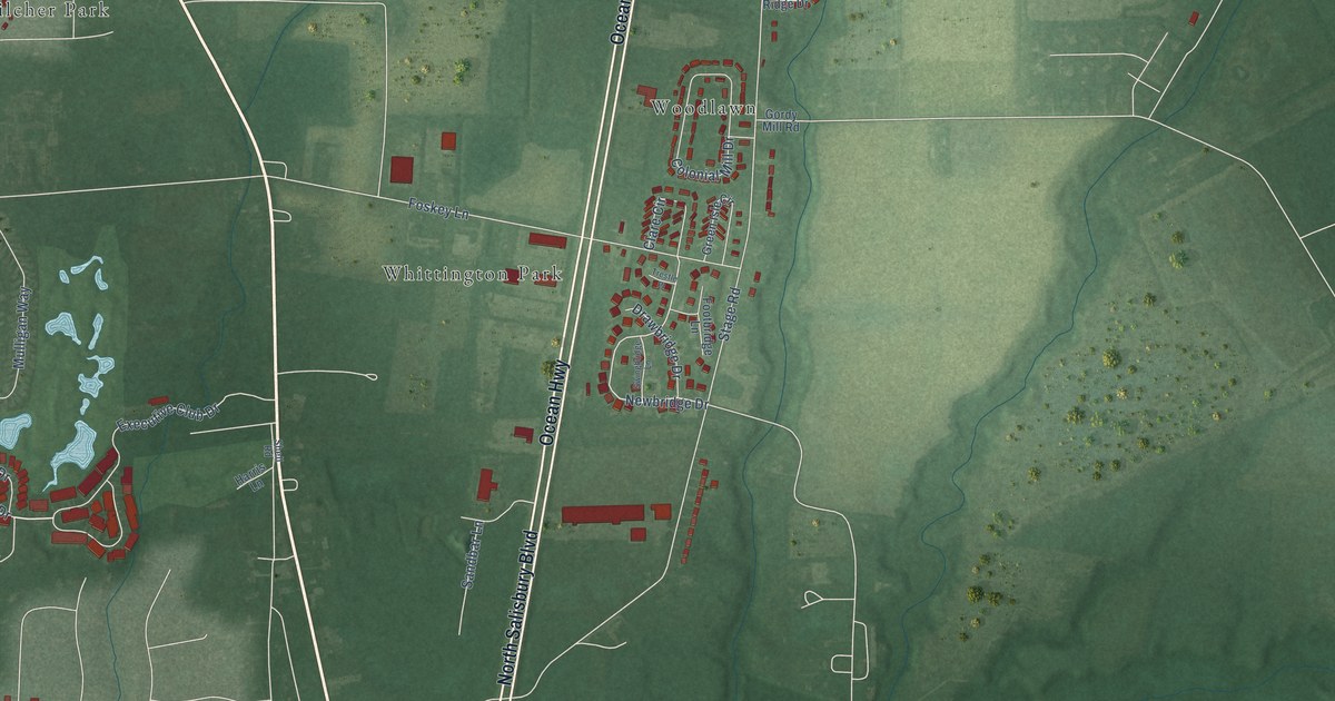
A detailed map of Delmar, Maryland, showing every building in its true location, the roads by name, and shaded topographical relief.
Read More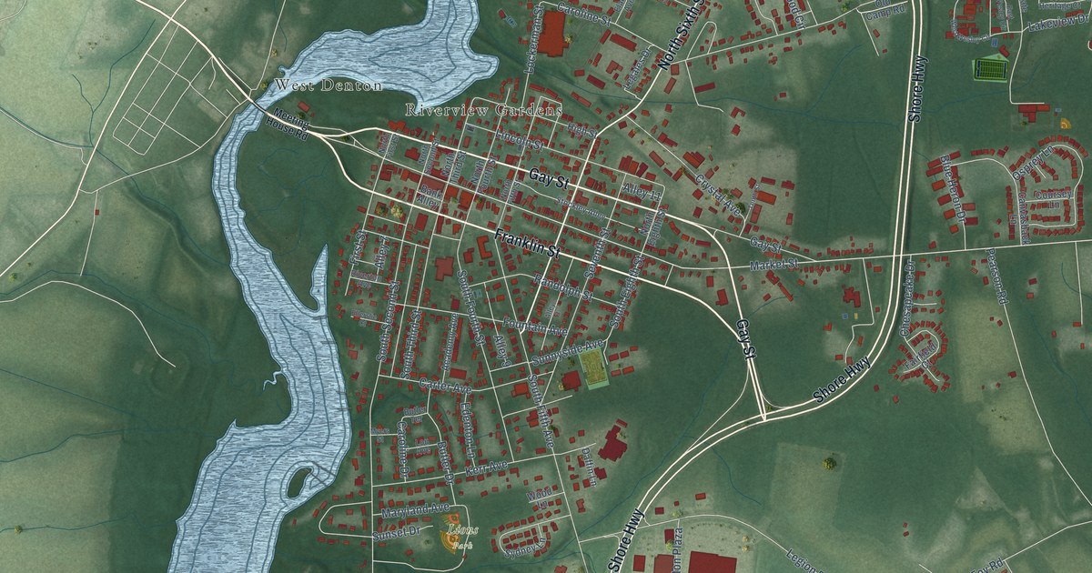
A detailed map of Denton, Maryland, showing every building in its true location, the roads by name, and shaded topographical relief.
Read More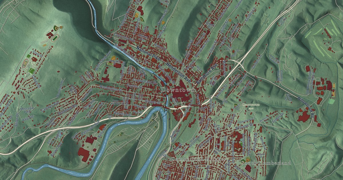
A detailed map of Cumberland, Maryland, showing every building in its true location, the roads by name, and shaded topographical relief.
Read More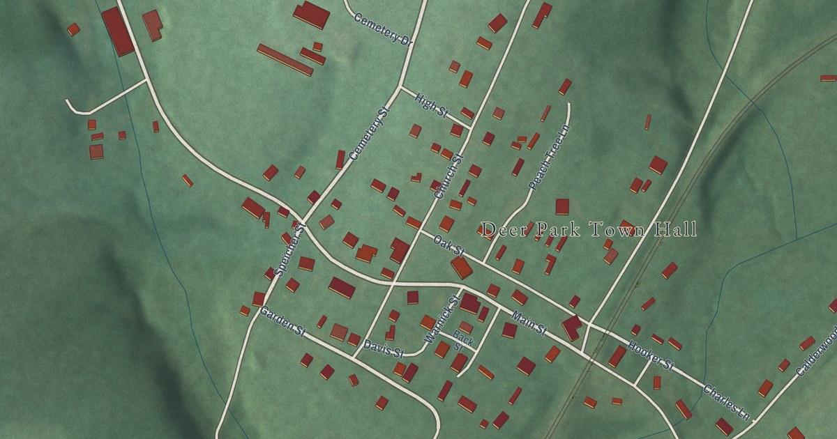
A detailed map of Deer Park, Maryland, showing every building in its true location, the roads by name, and shaded topographical relief.
Read More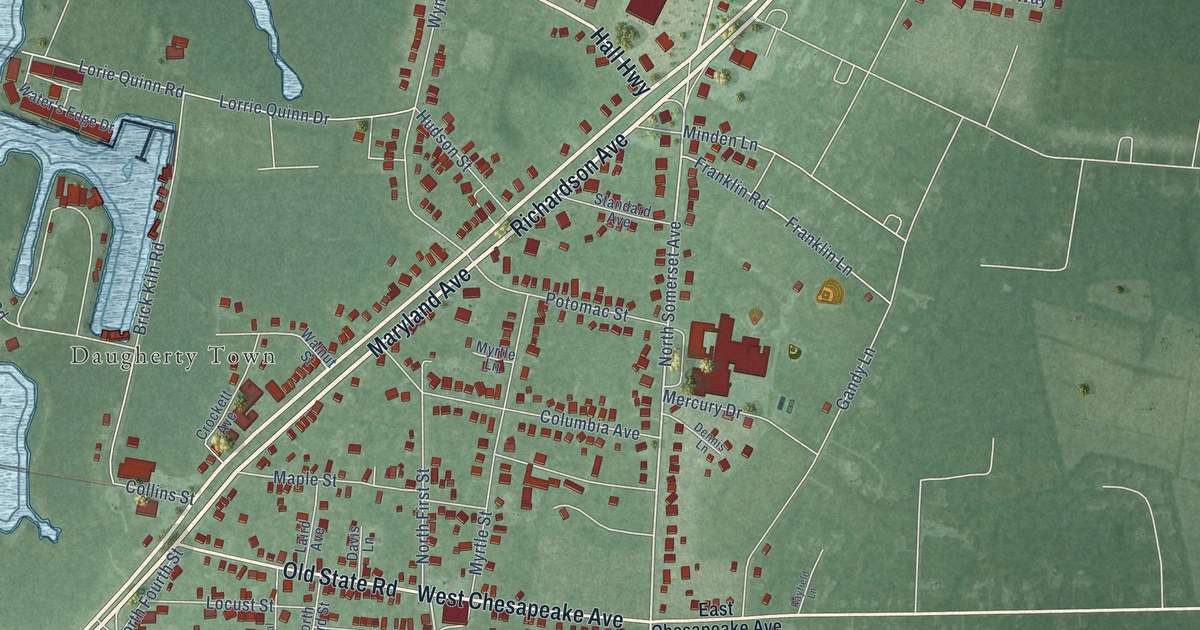
A detailed map of Crisfield, Maryland, showing every building in its true location, the roads by name, and shaded topographical relief.
Read More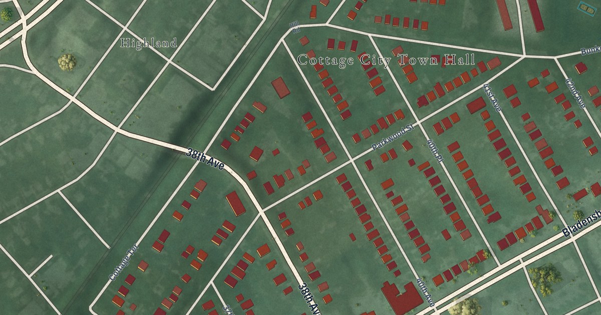
A detailed map of Cottage City, Maryland, showing every building in its true location, the roads by name, and shaded topographical relief.
Read More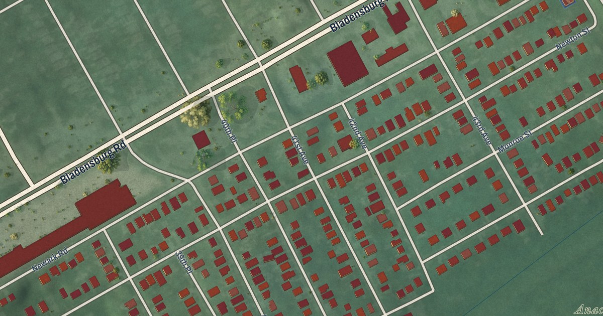
A detailed map of Colmar Manor, Maryland, showing every building in its true location, the roads by name, and shaded topographical relief.
Read More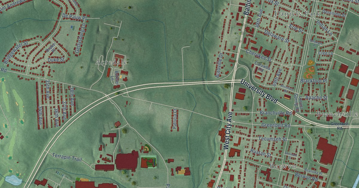
A detailed map of College Park, Maryland, showing every building in its true location, the roads by name, and shaded topographical relief.
Read More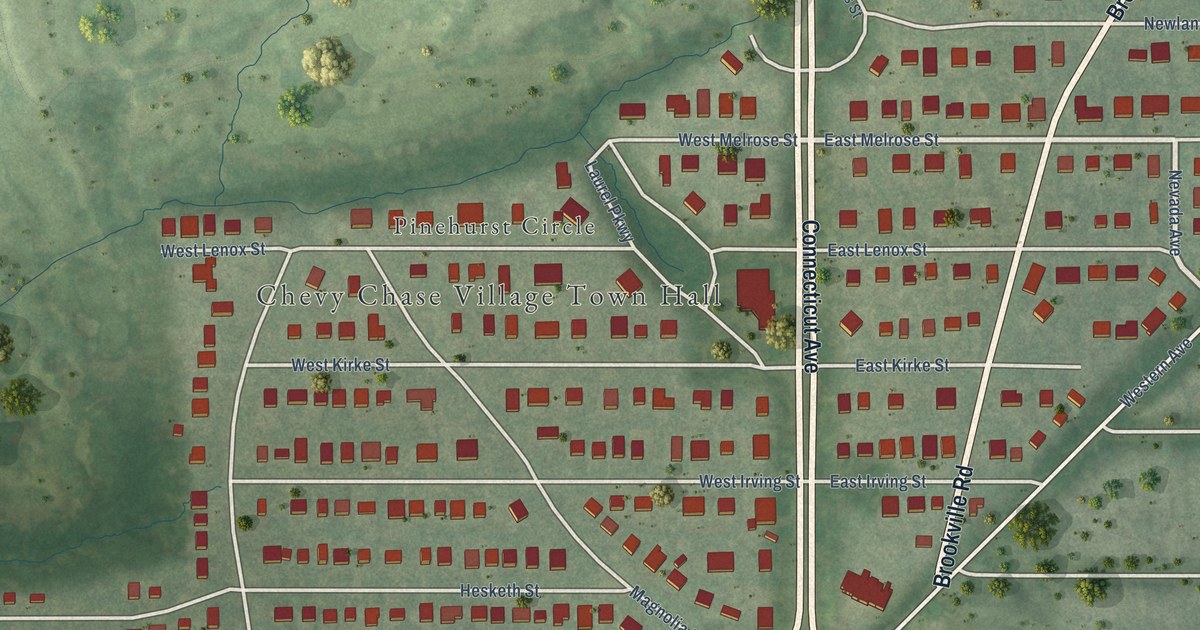
A detailed map of Chevy Chase Village, Maryland, showing every building in its true location, the roads by name, and shaded topographical relief.
Read More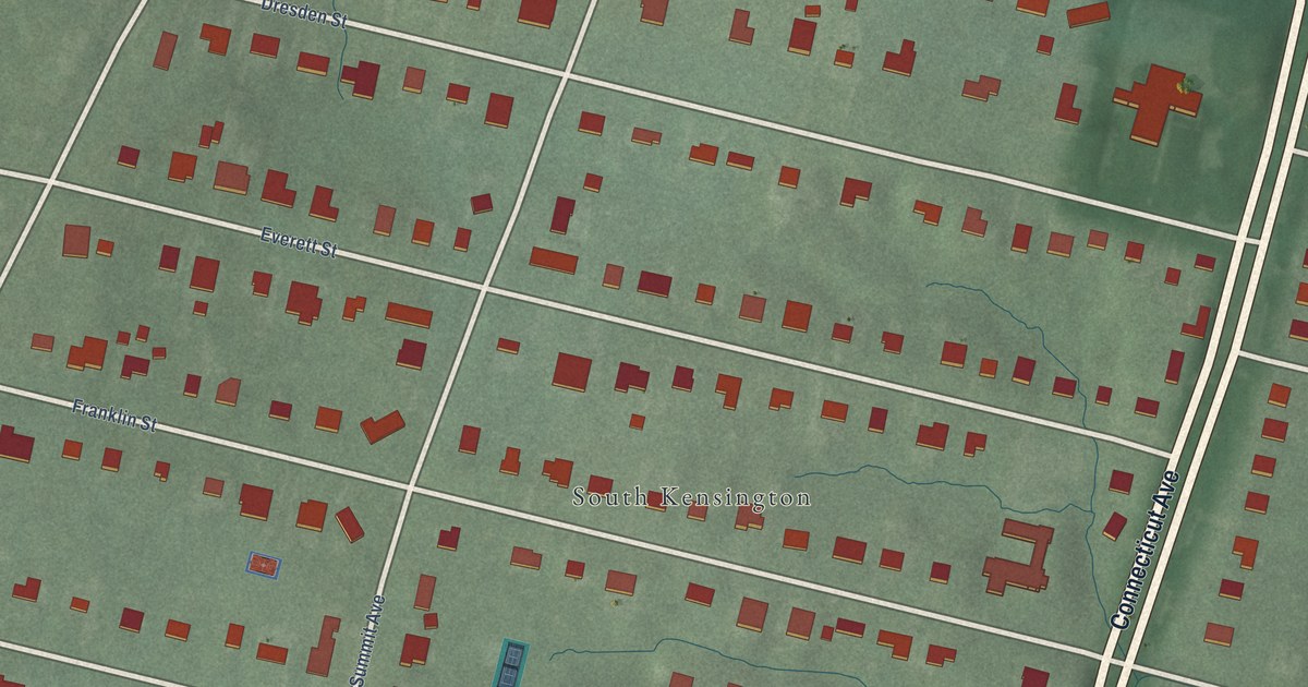
A detailed map of Chevy Chase View, Maryland, showing every building in its true location, the roads by name, and shaded topographical relief.
Read More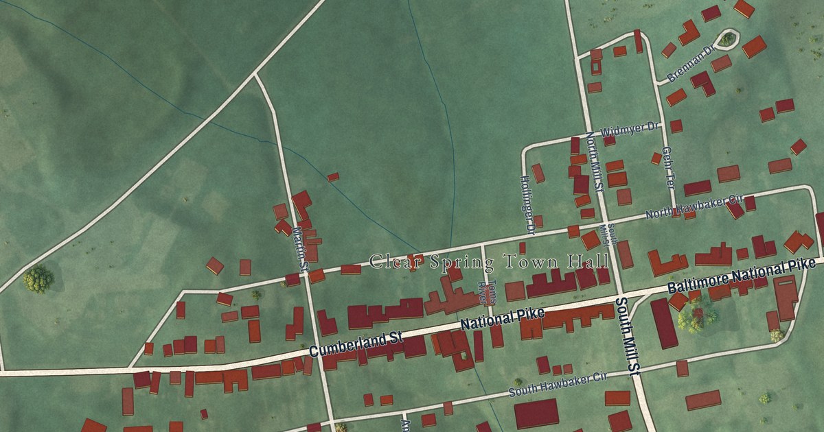
A detailed map of Clear Spring, Maryland, showing every building in its true location, the roads by name, and shaded topographical relief.
Read More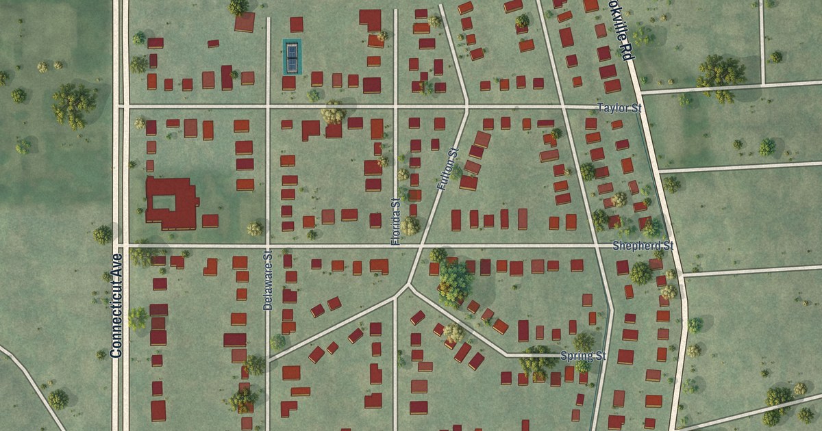
A detailed map of Chevy Chase Section Three, Maryland, showing every building in its true location, the roads by name, and shaded topographical relief.
Read More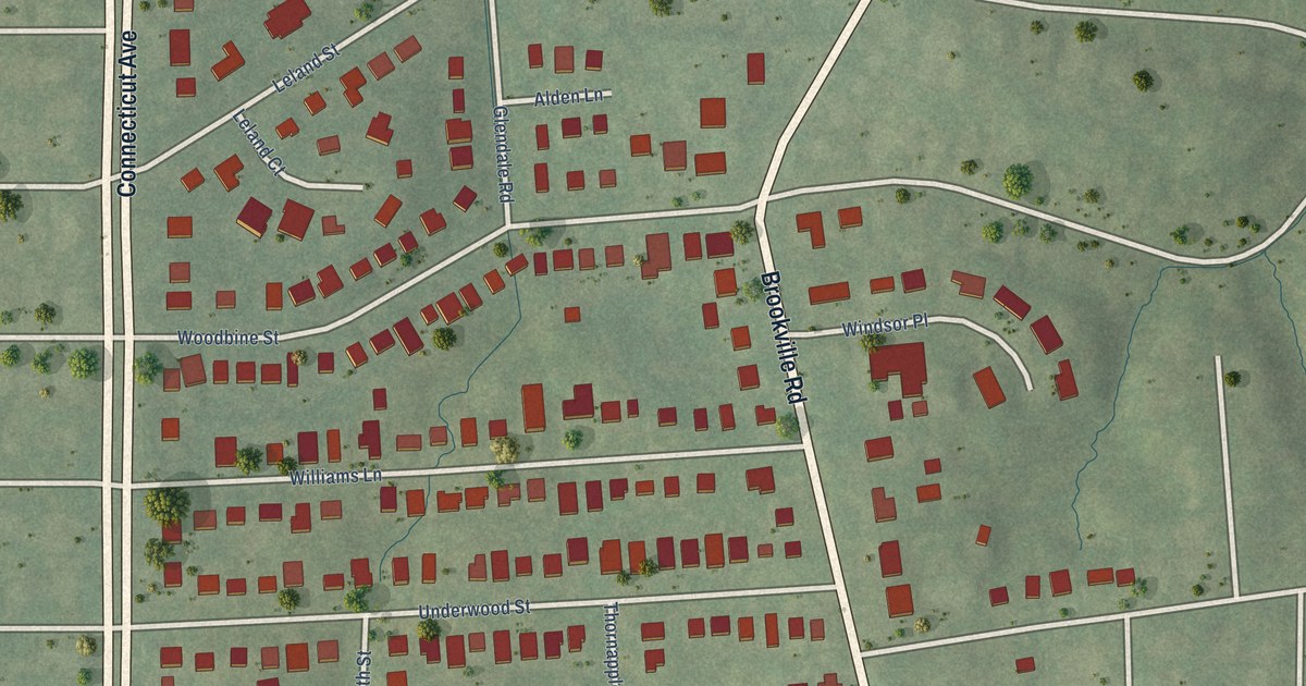
A detailed map of Chevy Chase Section Five, Maryland, showing every building in its true location, the roads by name, and shaded topographical relief.
Read More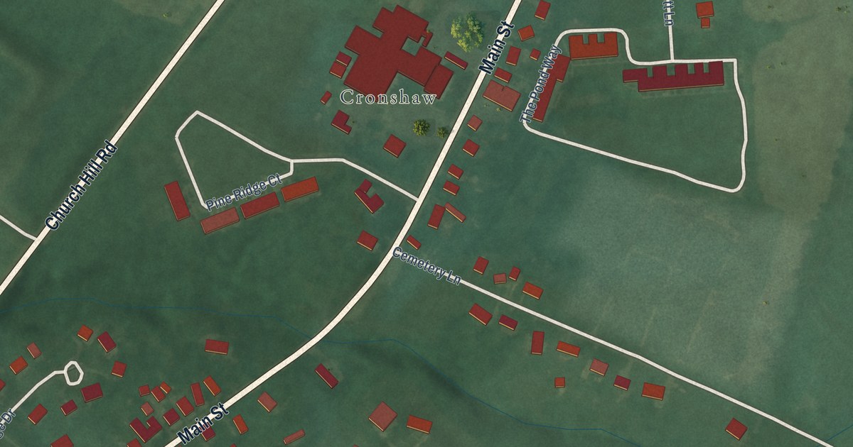
A detailed map of Church Hill, Maryland, showing every building in its true location, the roads by name, and shaded topographical relief.
Read More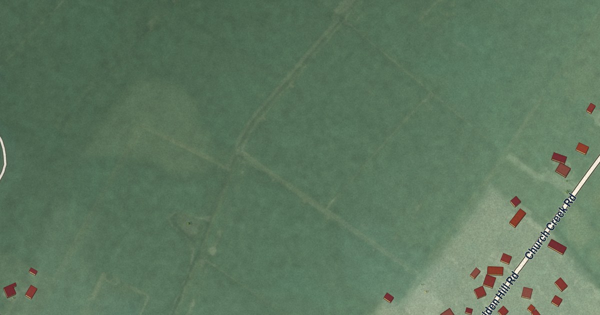
A detailed map of Church Creek, Maryland, showing every building in its true location, the roads by name, and shaded topographical relief.
Read More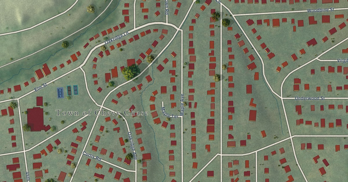
A detailed map of Chevy Chase, Maryland, showing every building in its true location, the roads by name, and shaded topographical relief.
Read More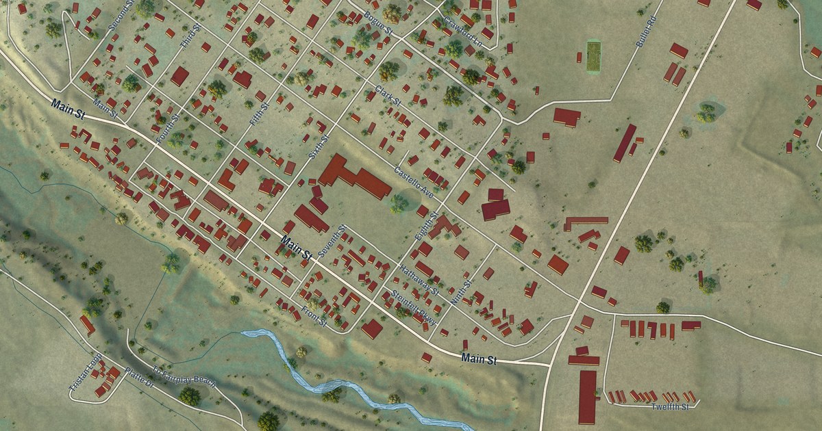
A detailed map of Fairplay, Colorado, showing every building in its true location, the roads by name, and shaded topographical relief.
Read More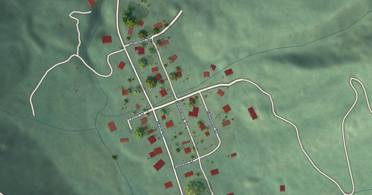
A detailed map of Montezuma, Colorado, showing every building in its true location, the roads by name, and shaded topographical relief.
Read More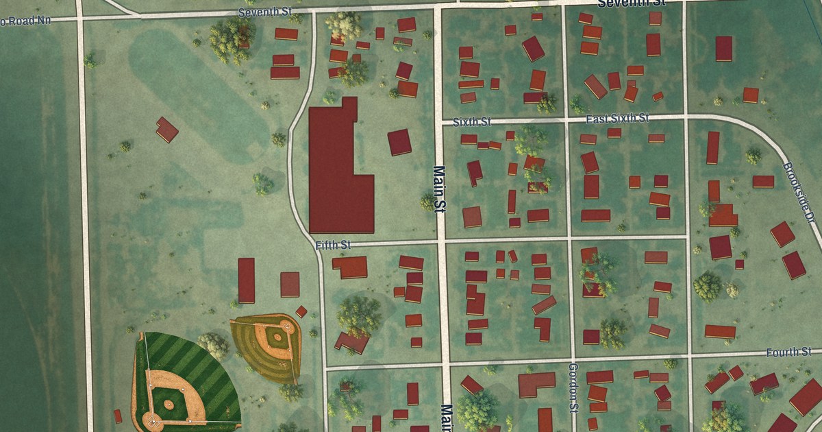
A detailed map of Wiley, Colorado, showing every building in its true location, the roads by name, and shaded topographical relief.
Read More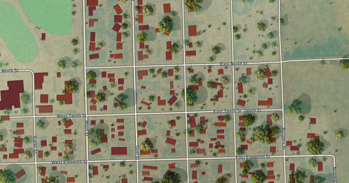
A detailed map of Eads, Colorado, showing every building in its true location, the roads by name, and shaded topographical relief.
Read More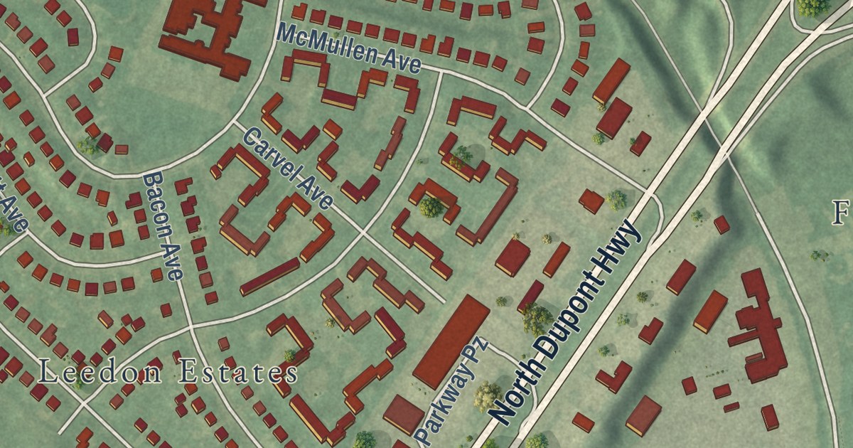
A detailed map of Wilmington Manor, Delaware, showing every building in its true location, the roads by name, and shaded topographical relief.
Read More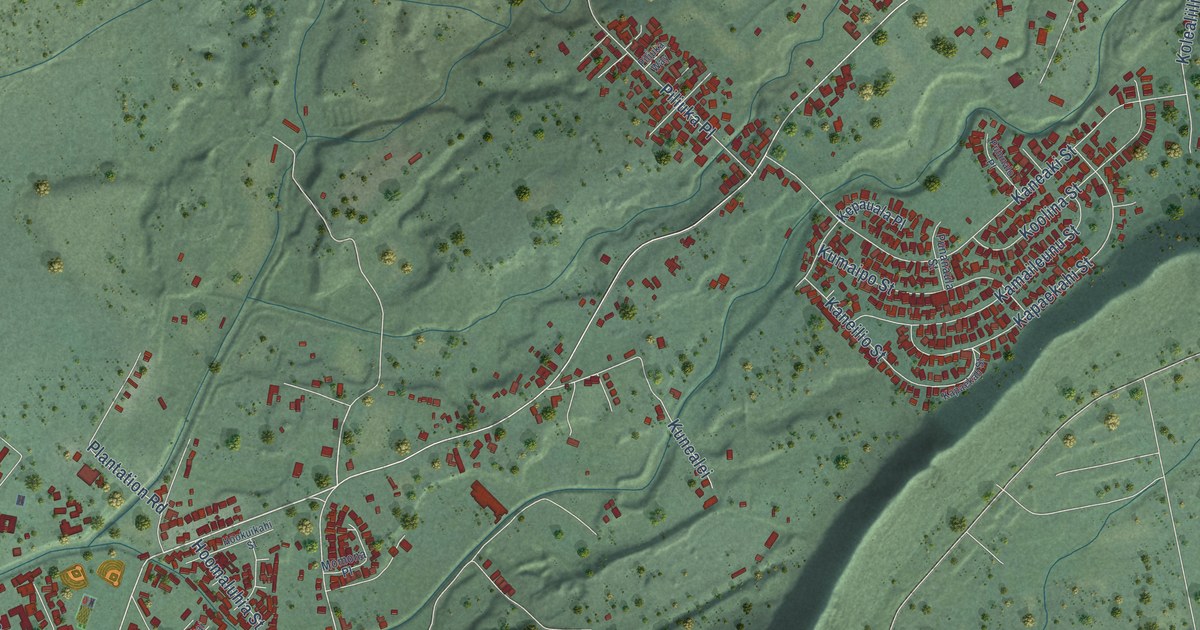
A detailed map of Waianae, Hawaii, showing every building in its true location, the roads by name, and shaded topographical relief.
Read More















