Detailed Map of Capitol Hill, Colorado
A detailed map of Capitol Hill, Colorado, showing every building in its true location, the roads by name, and shaded topographical relief.
Read More
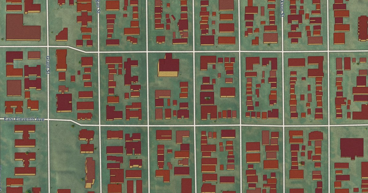
A detailed map of Capitol Hill, Colorado, showing every building in its true location, the roads by name, and shaded topographical relief.
Read More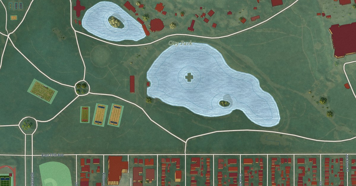
A detailed map of City Park, Colorado, showing every building in its true location, the roads by name, and shaded topographical relief.
Read More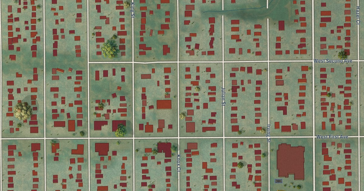
A detailed map of Barnum, Colorado, showing every building in its true location, the roads by name, and shaded topographical relief.
Read More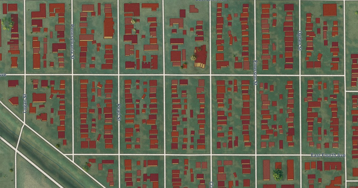
A detailed map of Alamo Placita, Colorado, showing every building in its true location, the roads by name, and shaded topographical relief.
Read More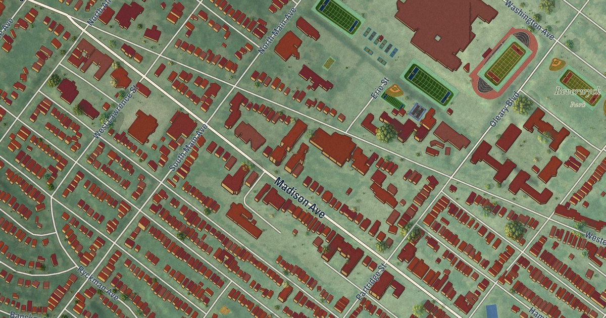
A detailed map of Pine Hills, New York, showing every building in its true location, the roads by name, and shaded topographical relief.
Read More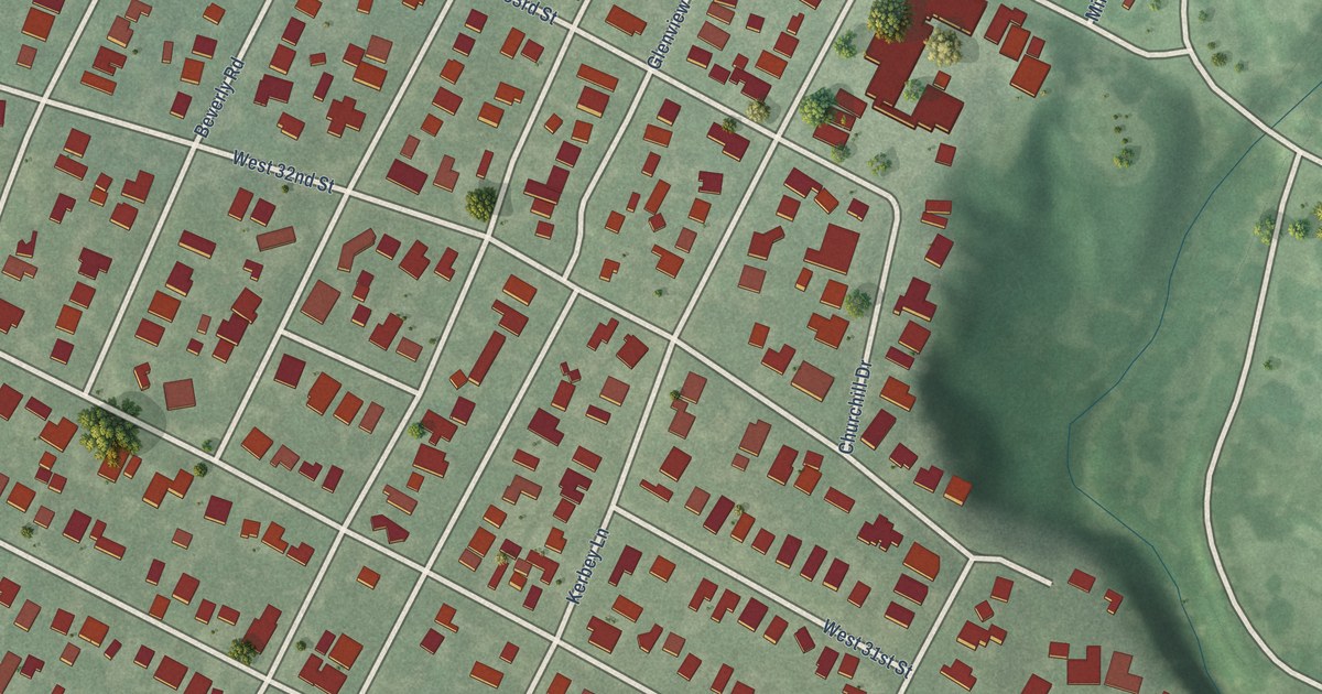
A detailed map of Bryker Woods, Texas, showing every building in its true location, the roads by name, and shaded topographical relief.
Read More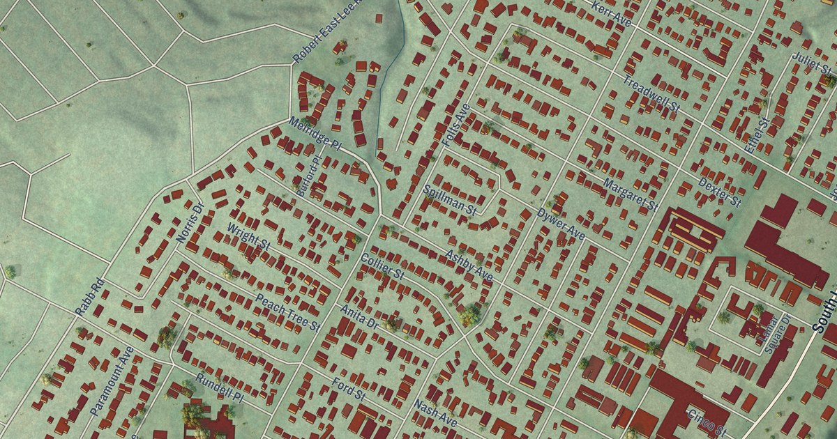
A detailed map of Zilker, Texas, showing every building in its true location, the roads by name, and shaded topographical relief.
Read More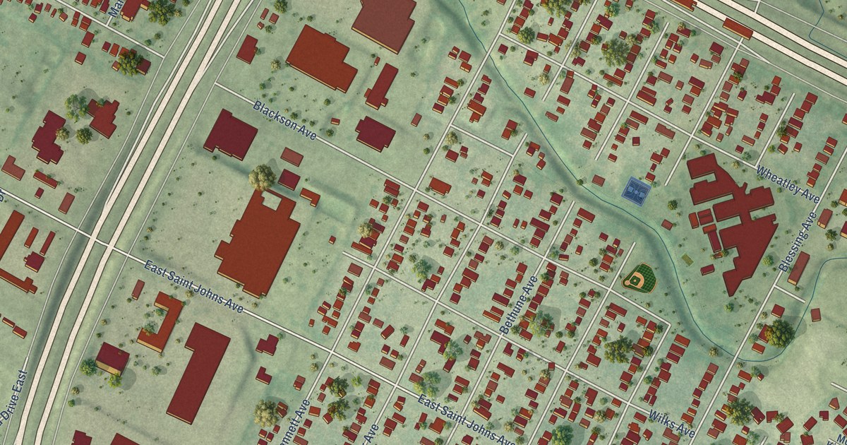
A detailed map of St. Johns, Texas, showing every building in its true location, the roads by name, and shaded topographical relief.
Read More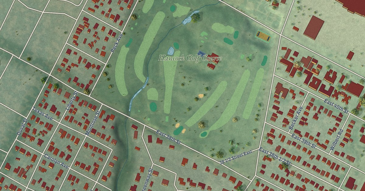
A detailed map of Hancock, Texas, showing every building in its true location, the roads by name, and shaded topographical relief.
Read More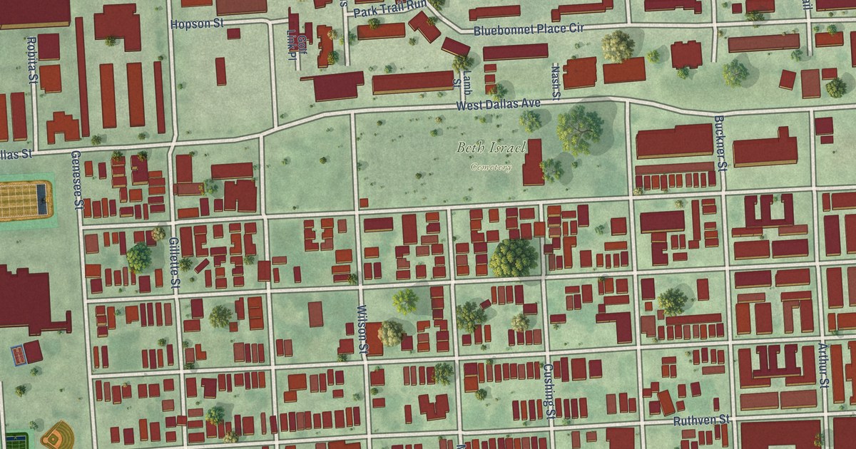
A detailed map of Fourth Ward, Texas, showing every building in its true location, the roads by name, and shaded topographical relief.
Read More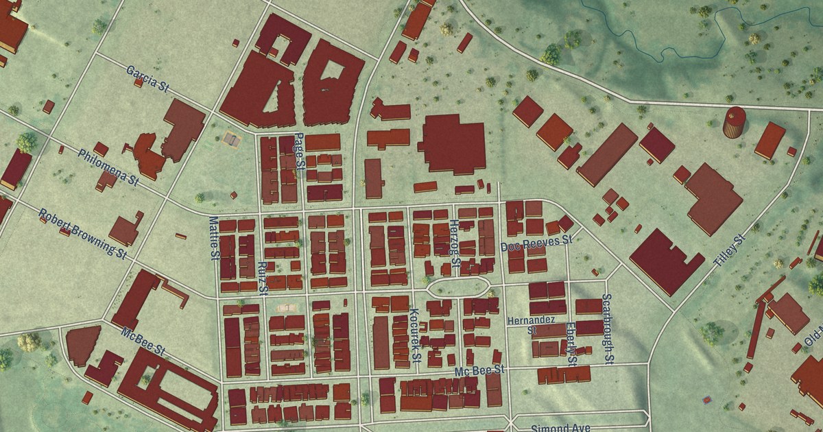
A detailed map of Mueller, Texas, showing every building in its true location, the roads by name, and shaded topographical relief.
Read More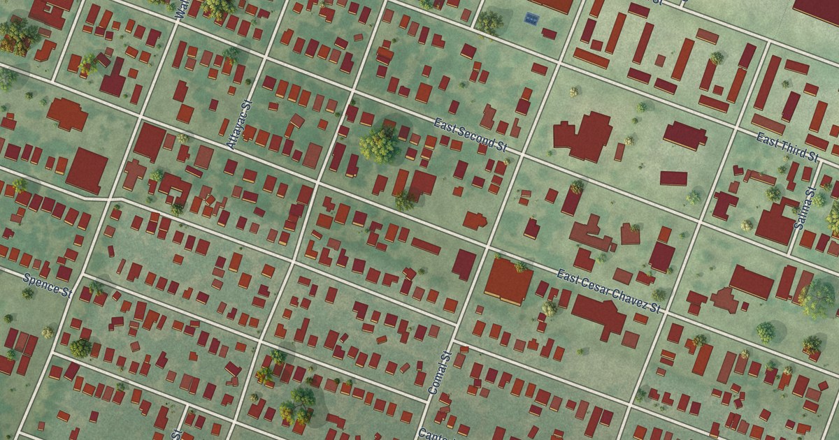
A detailed map of East Cesar Chavez, Texas, showing every building in its true location, the roads by name, and shaded topographical relief.
Read More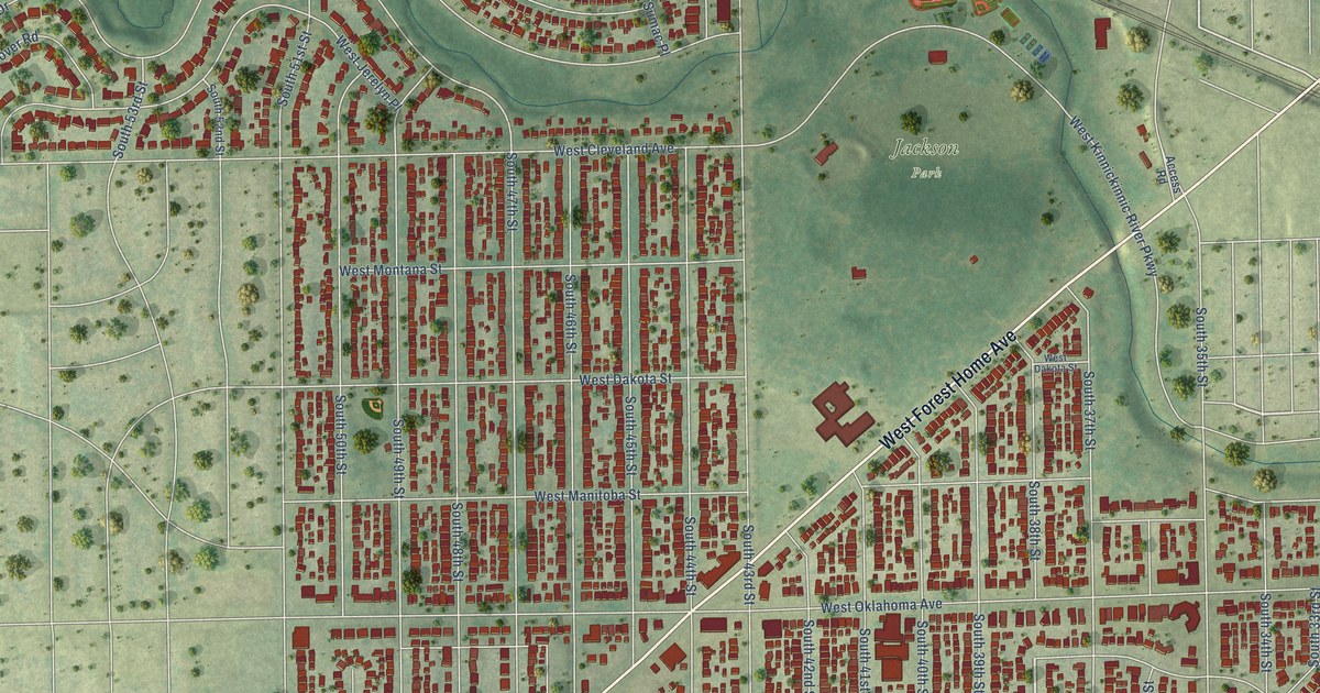
A detailed map of Jackson Park, Wisconsin, showing every building in its true location, the roads by name, and shaded topographical relief.
Read More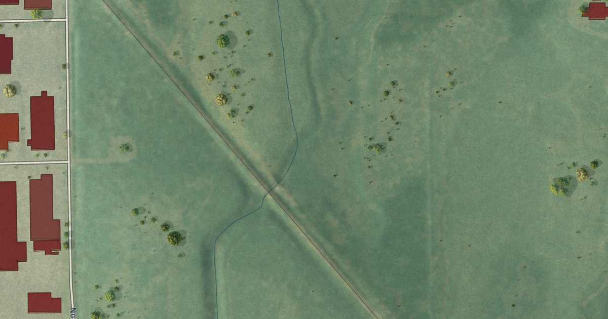
A detailed map of Havenwoods, Wisconsin, showing every building in its true location, the roads by name, and shaded topographical relief.
Read More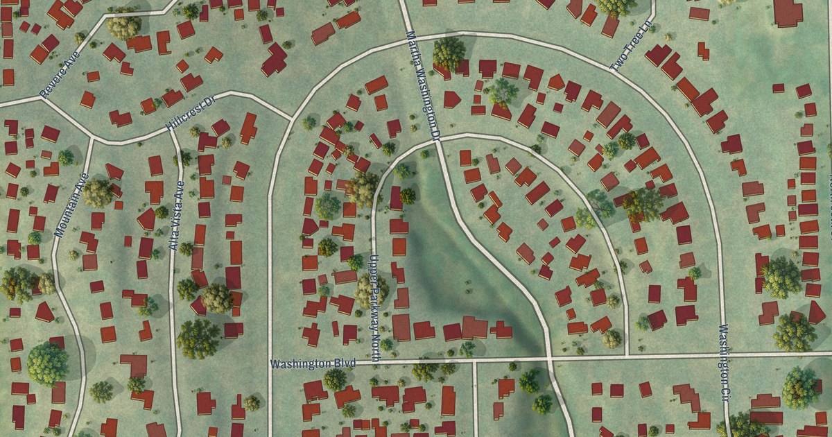
A detailed map of Washington Highlands, Wisconsin, showing every building in its true location, the roads by name, and shaded topographical relief.
Read More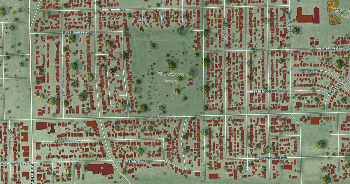
A detailed map of Tippecanoe, Wisconsin, showing every building in its true location, the roads by name, and shaded topographical relief.
Read More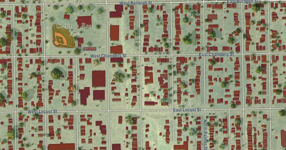
A detailed map of Harambee, Wisconsin, showing every building in its true location, the roads by name, and shaded topographical relief.
Read More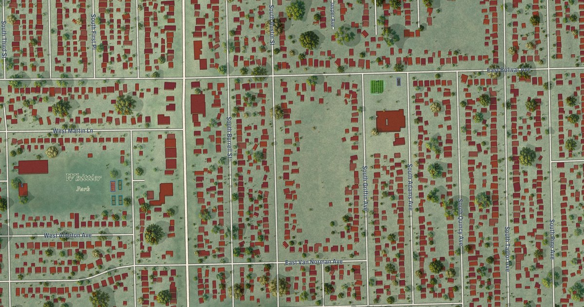
A detailed map of Town of Lake, Wisconsin, showing every building in its true location, the roads by name, and shaded topographical relief.
Read More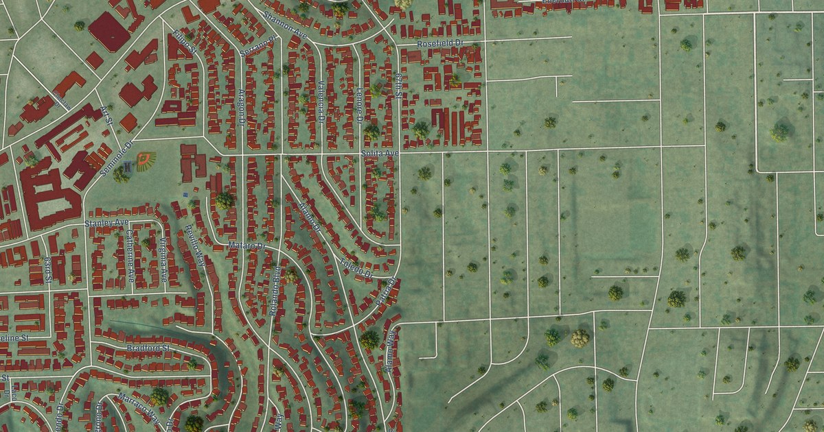
A detailed map of Rolando, California, showing every building in its true location, the roads by name, and shaded topographical relief.
Read More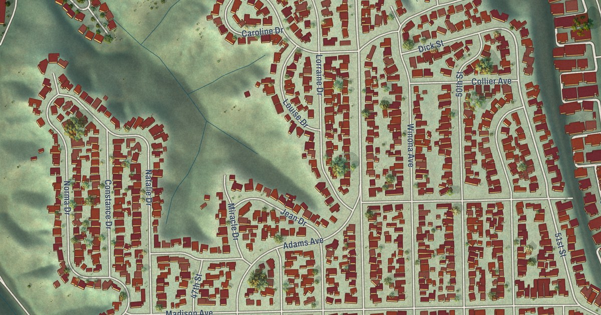
A detailed map of Talmadge, California, showing every building in its true location, the roads by name, and shaded topographical relief.
Read More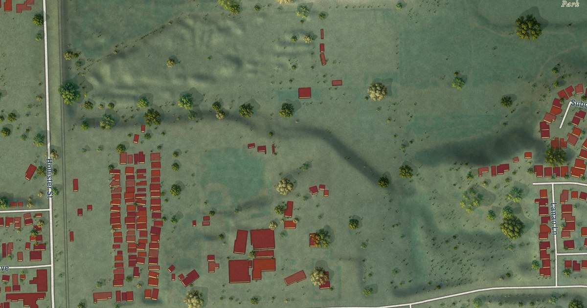
A detailed map of Palm City, California, showing every building in its true location, the roads by name, and shaded topographical relief.
Read More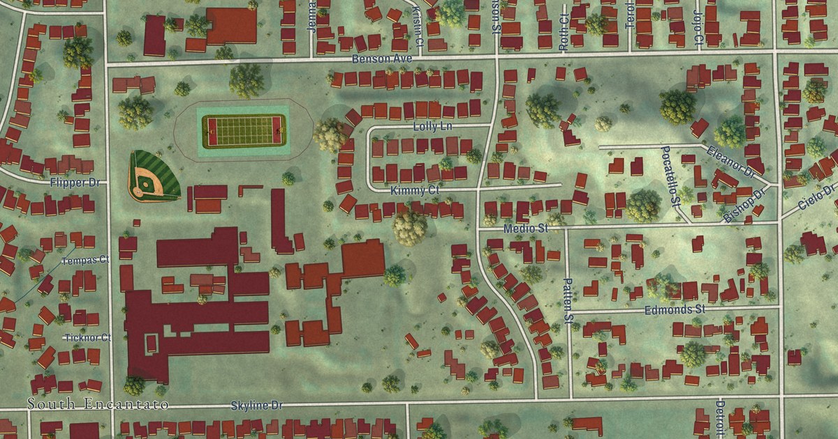
A detailed map of O’Farrell, California, showing every building in its true location, the roads by name, and shaded topographical relief.
Read More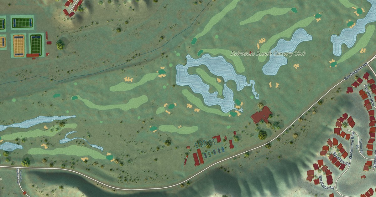
A detailed map of Fairbanks Ranch Country Club, California, showing every building in its true location, the roads by name, and shaded topographical relief.
Read More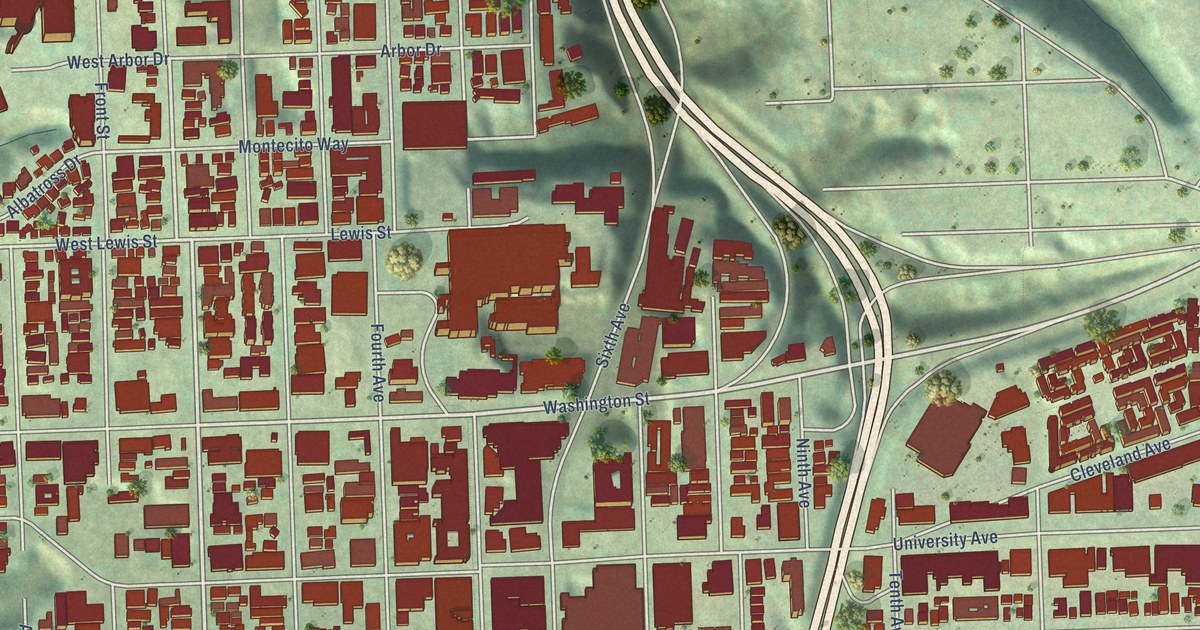
A detailed map of Hillcrest, California, showing every building in its true location, the roads by name, and shaded topographical relief.
Read More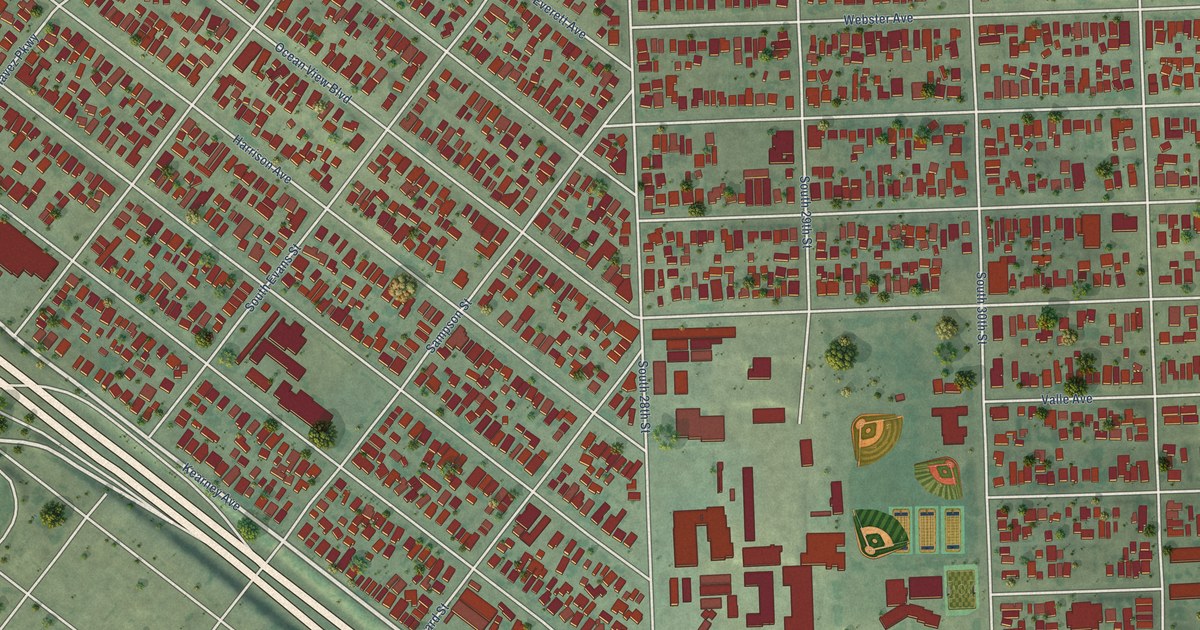
A detailed map of Logan Heights, California, showing every building in its true location, the roads by name, and shaded topographical relief.
Read More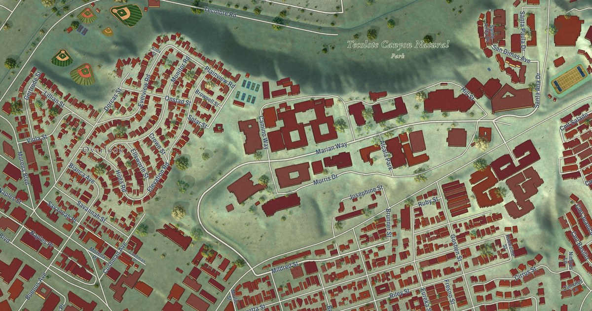
A detailed map of Morena, California, showing every building in its true location, the roads by name, and shaded topographical relief.
Read More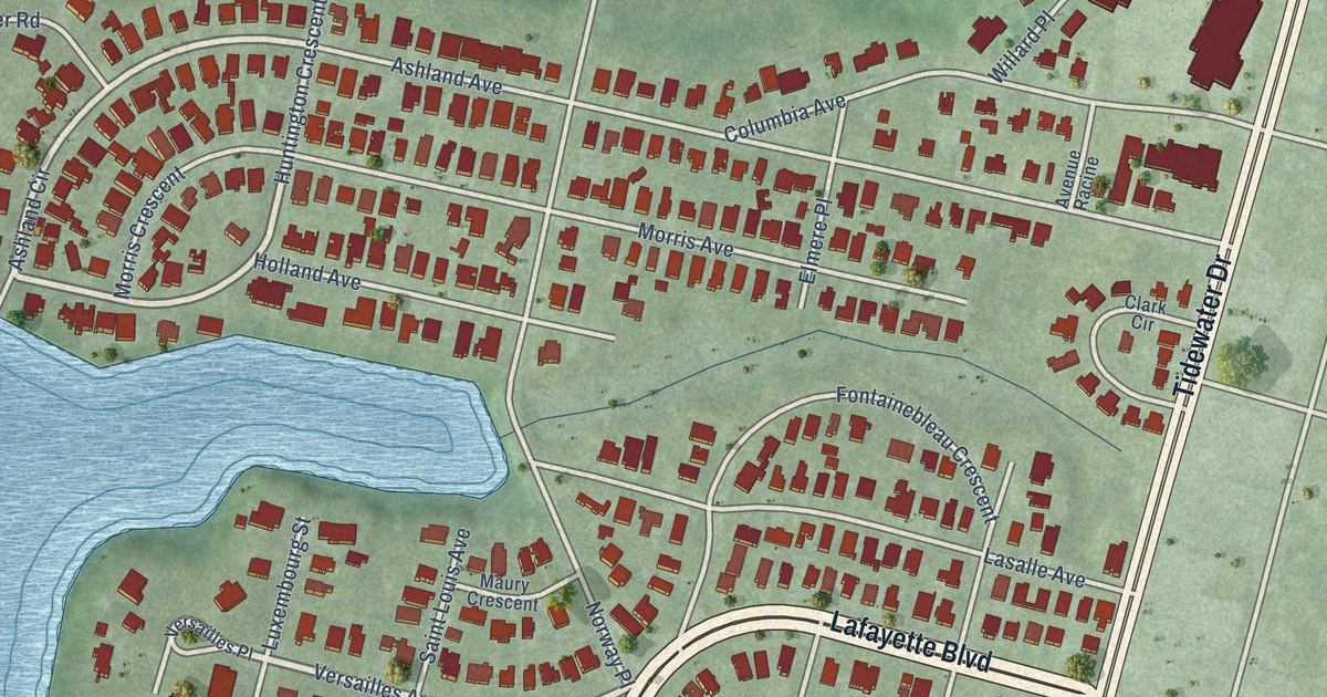
A detailed map of Winona, Virginia, showing every building in its true location, the roads by name, and shaded topographical relief.
Read More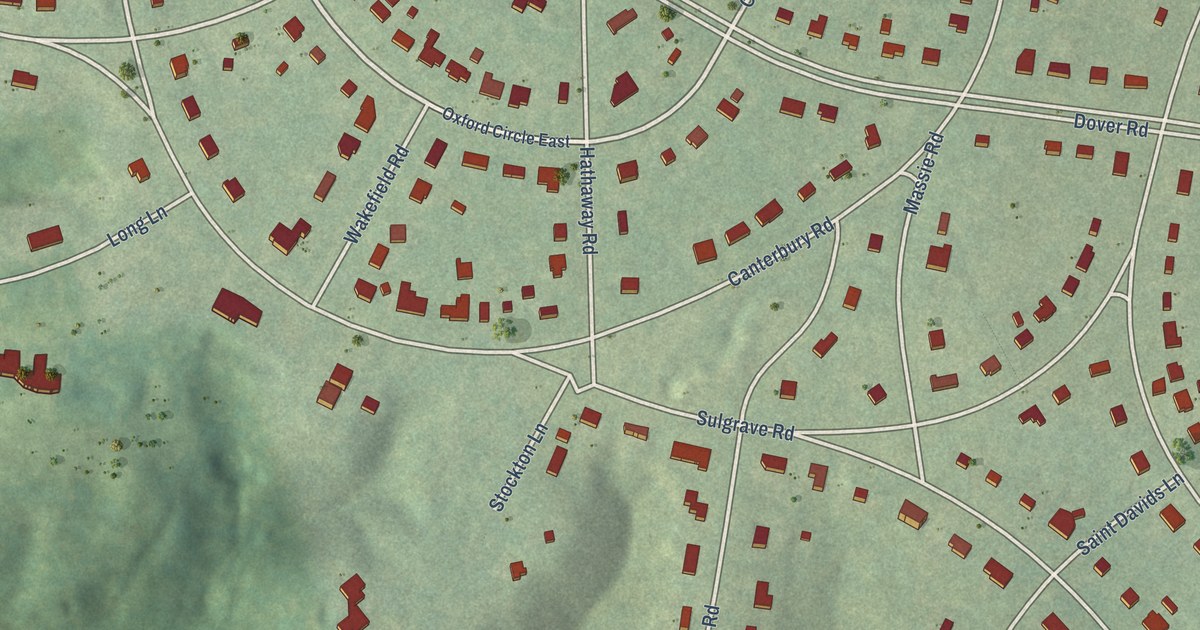
A detailed map of Windsor Farms, Virginia, showing every building in its true location, the roads by name, and shaded topographical relief.
Read More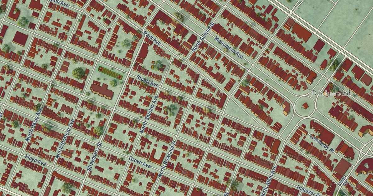
A detailed map of The Fan, Virginia, showing every building in its true location, the roads by name, and shaded topographical relief.
Read More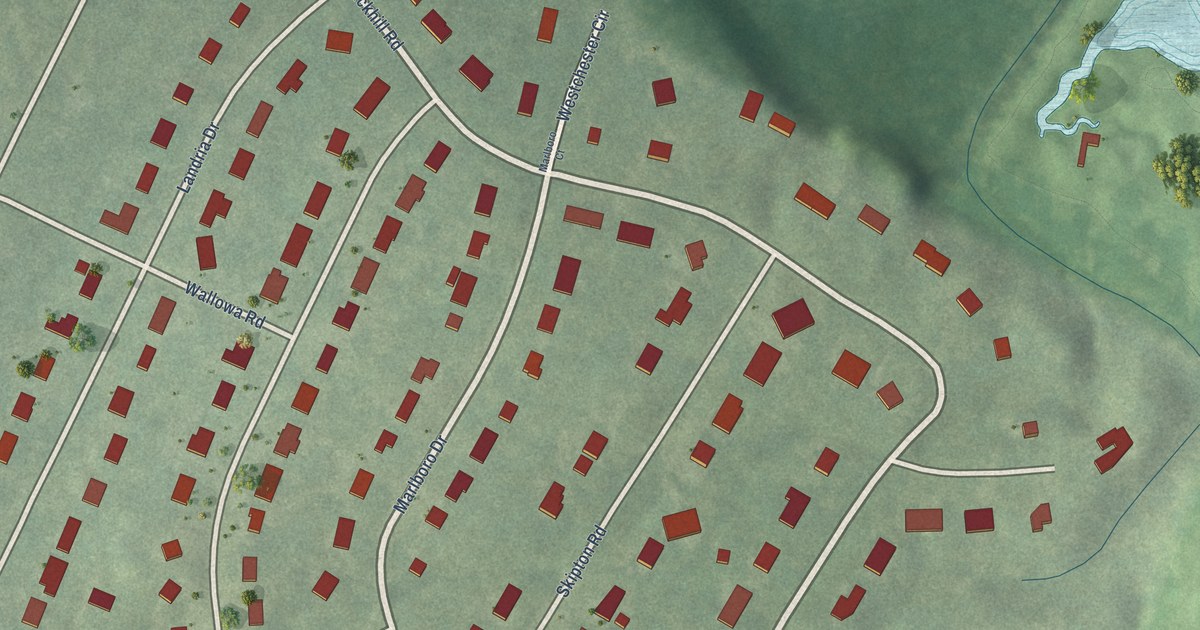
A detailed map of Willow Oaks, Virginia, showing every building in its true location, the roads by name, and shaded topographical relief.
Read More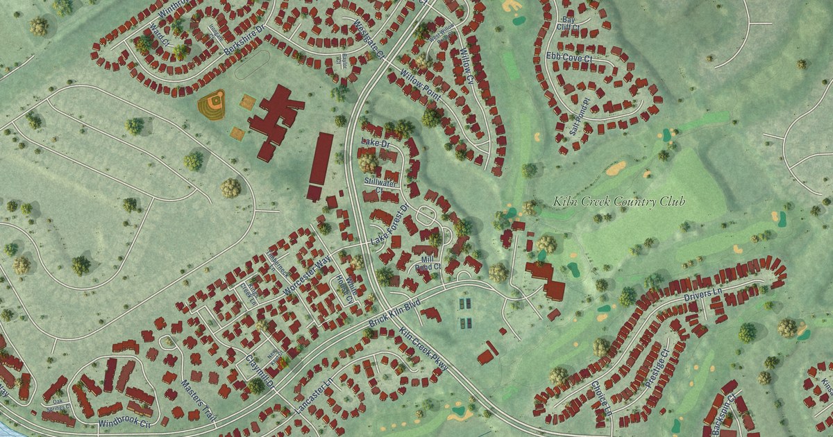
A detailed map of Kiln Creek, Virginia, showing every building in its true location, the roads by name, and shaded topographical relief.
Read More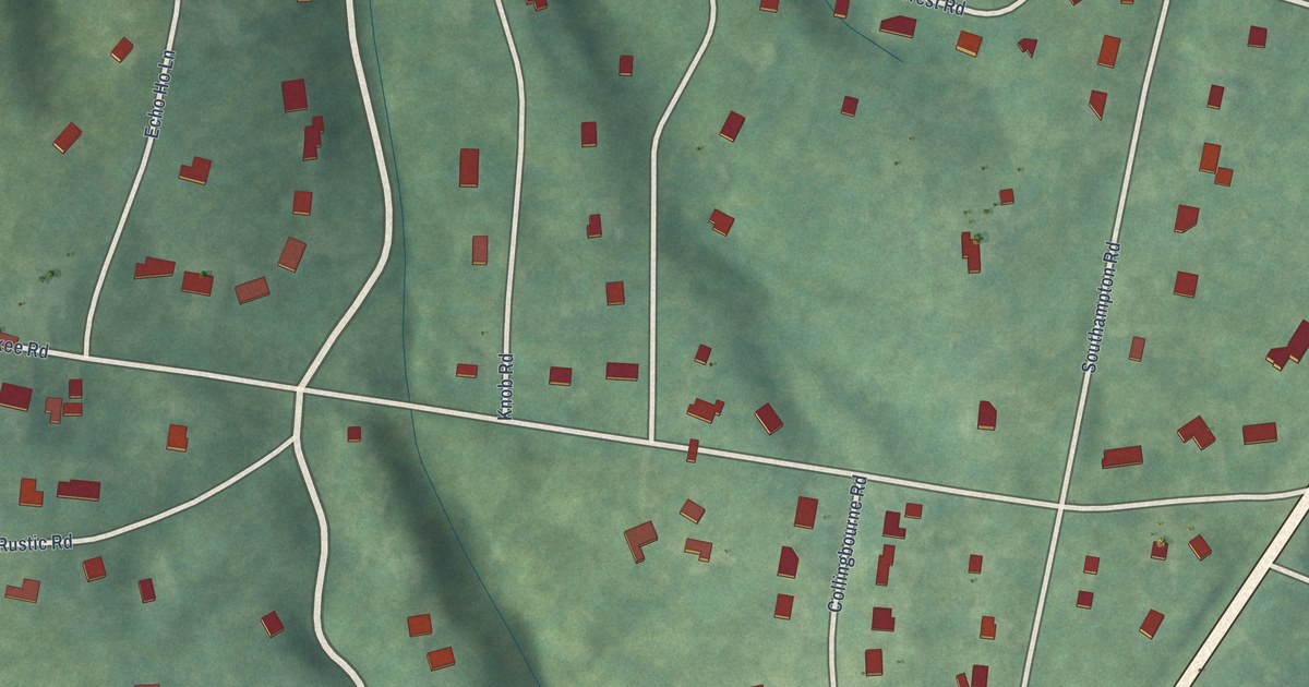
A detailed map of Southampton, Virginia, showing every building in its true location, the roads by name, and shaded topographical relief.
Read More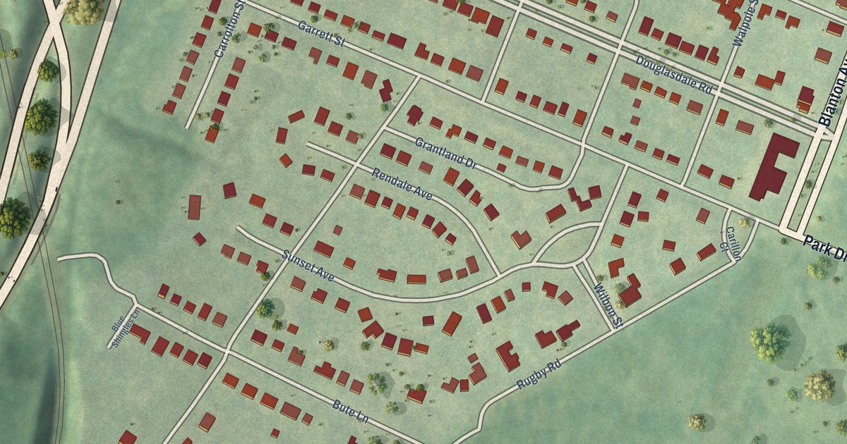
A detailed map of Carillon, Virginia, showing every building in its true location, the roads by name, and shaded topographical relief.
Read More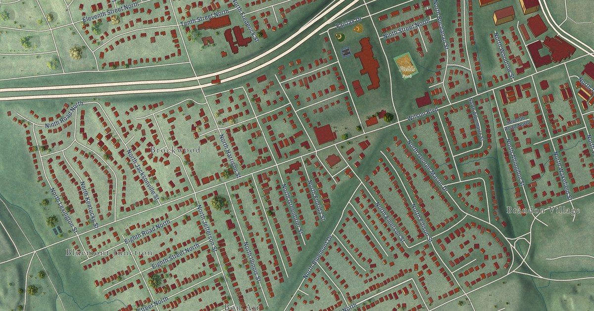
A detailed map of Bluemont, Virginia, showing every building in its true location, the roads by name, and shaded topographical relief.
Read More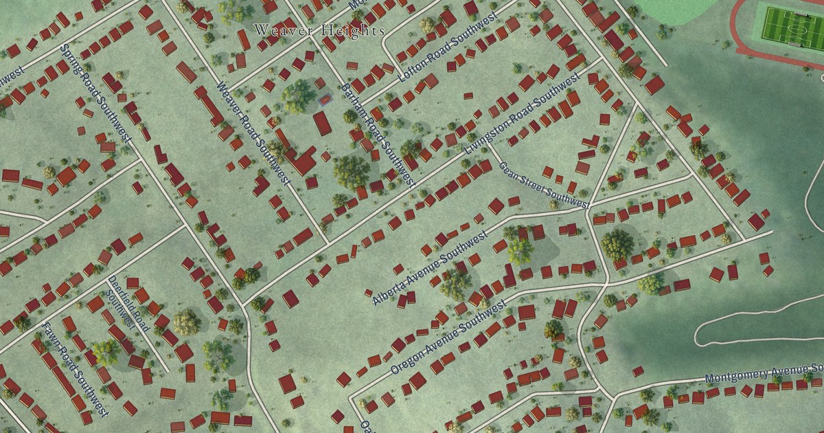
A detailed map of Grandin Court, Virginia, showing every building in its true location, the roads by name, and shaded topographical relief.
Read More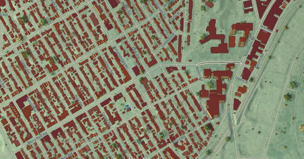
A detailed map of Morris Park, New York, showing every building in its true location, the roads by name, and shaded topographical relief.
Read More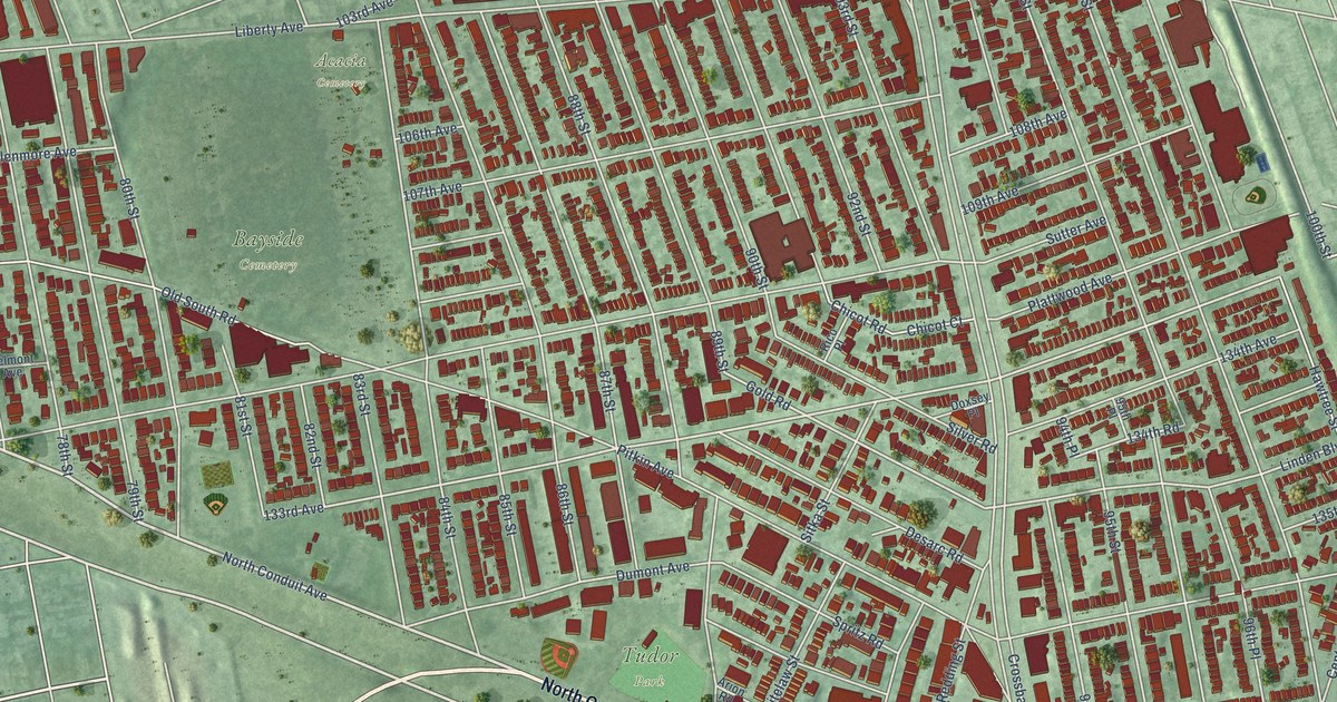
A detailed map of Ozone Park, New York, showing every building in its true location, the roads by name, and shaded topographical relief.
Read More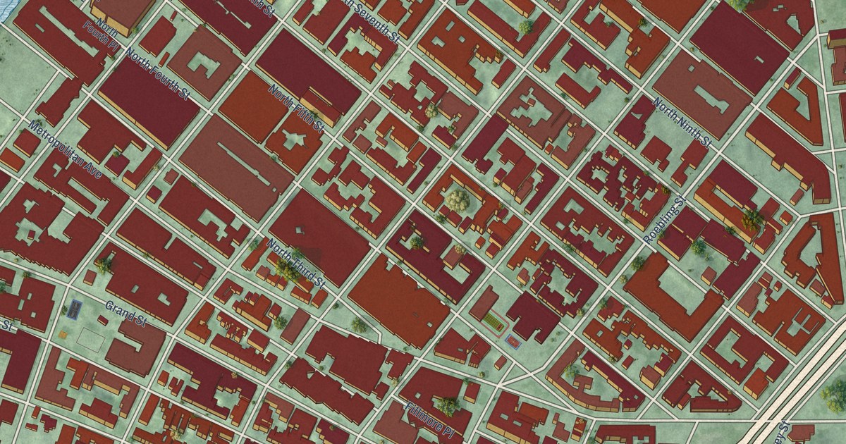
A detailed map of Williamsburg, New York, showing every building in its true location, the roads by name, and shaded topographical relief.
Read More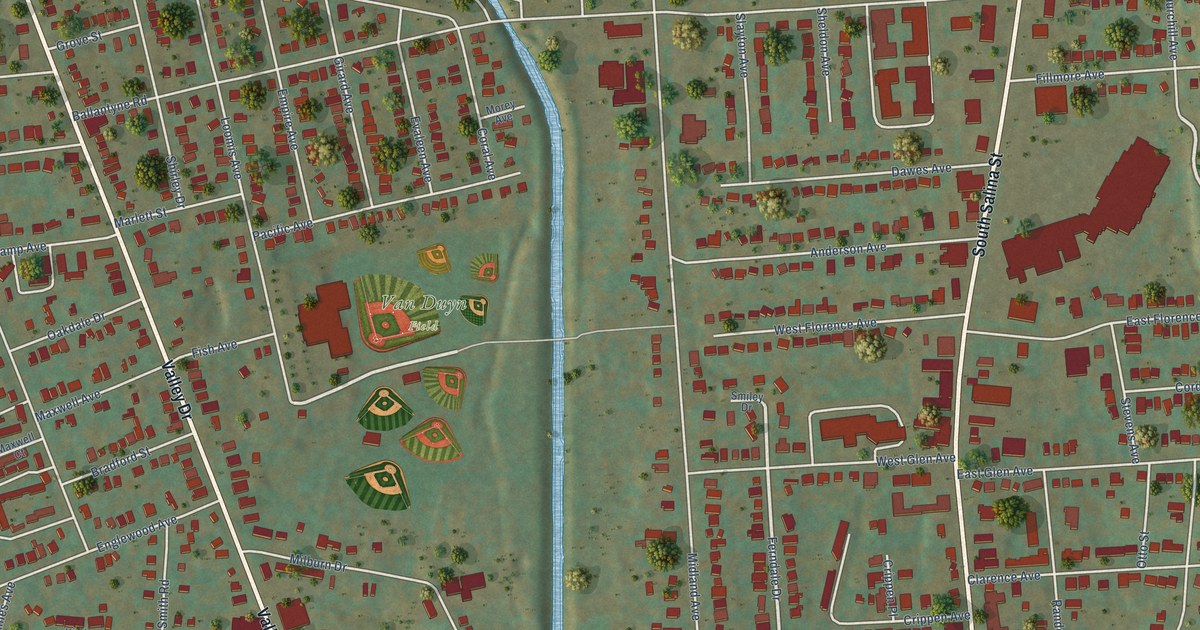
A detailed map of North Valley, New York, showing every building in its true location, the roads by name, and shaded topographical relief.
Read More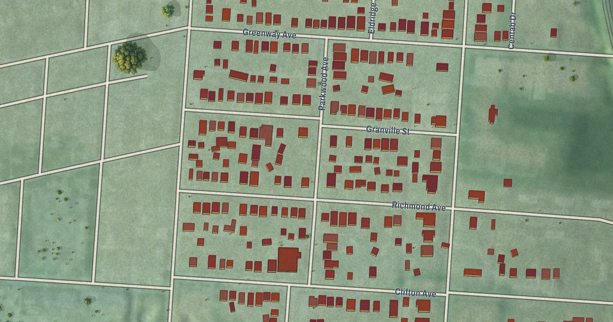
A detailed map of Woodland Park, Ohio, showing every building in its true location, the roads by name, and shaded topographical relief.
Read More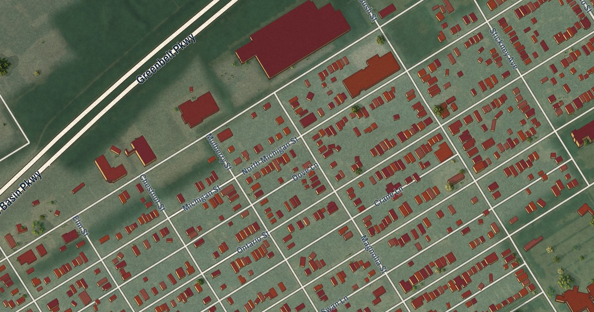
A detailed map of Vistula, Ohio, showing every building in its true location, the roads by name, and shaded topographical relief.
Read More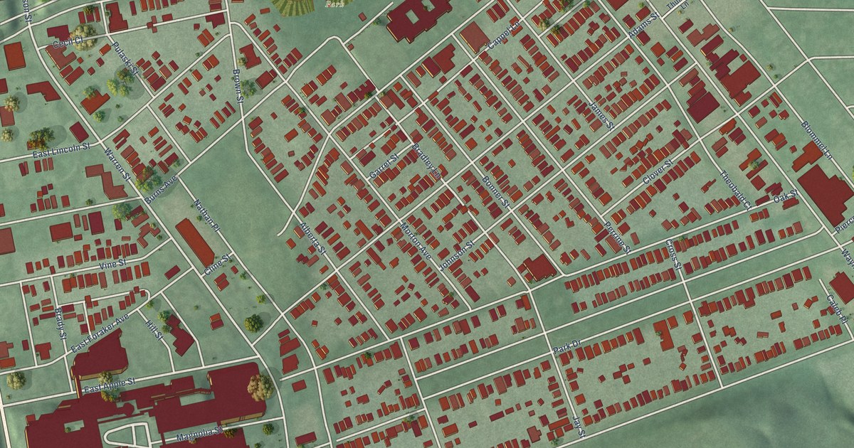
A detailed map of South Park, Ohio, showing every building in its true location, the roads by name, and shaded topographical relief.
Read More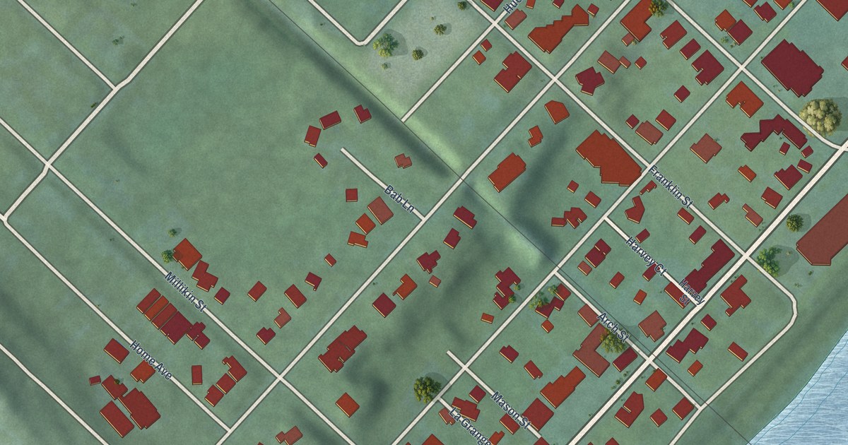
A detailed map of Rossville, Ohio, showing every building in its true location, the roads by name, and shaded topographical relief.
Read More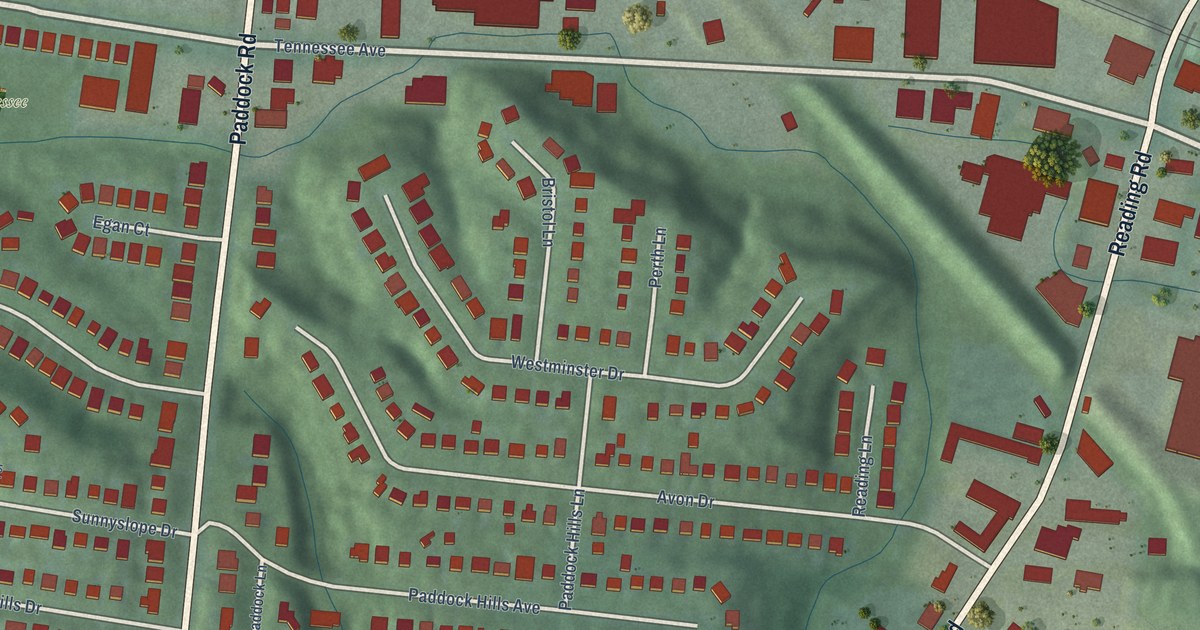
A detailed map of Paddock Hills, Ohio, showing every building in its true location, the roads by name, and shaded topographical relief.
Read More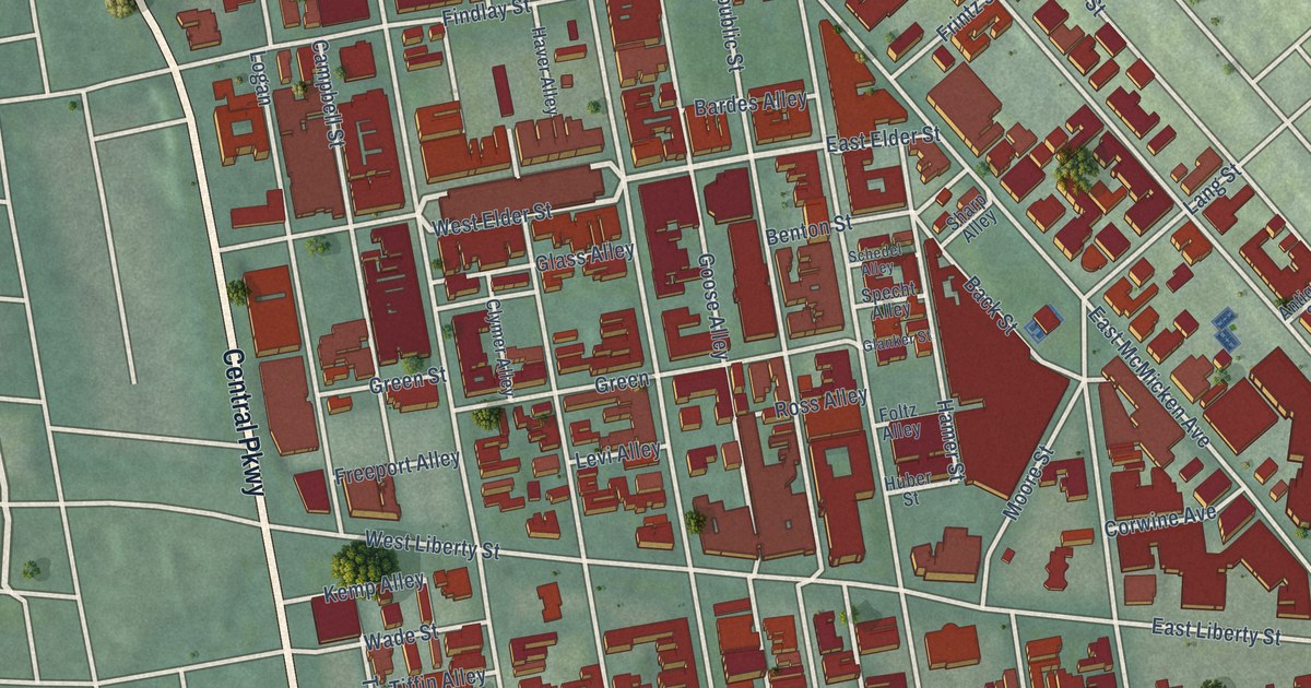
A detailed map of Over-the-Rhine, Ohio, showing every building in its true location, the roads by name, and shaded topographical relief.
Read More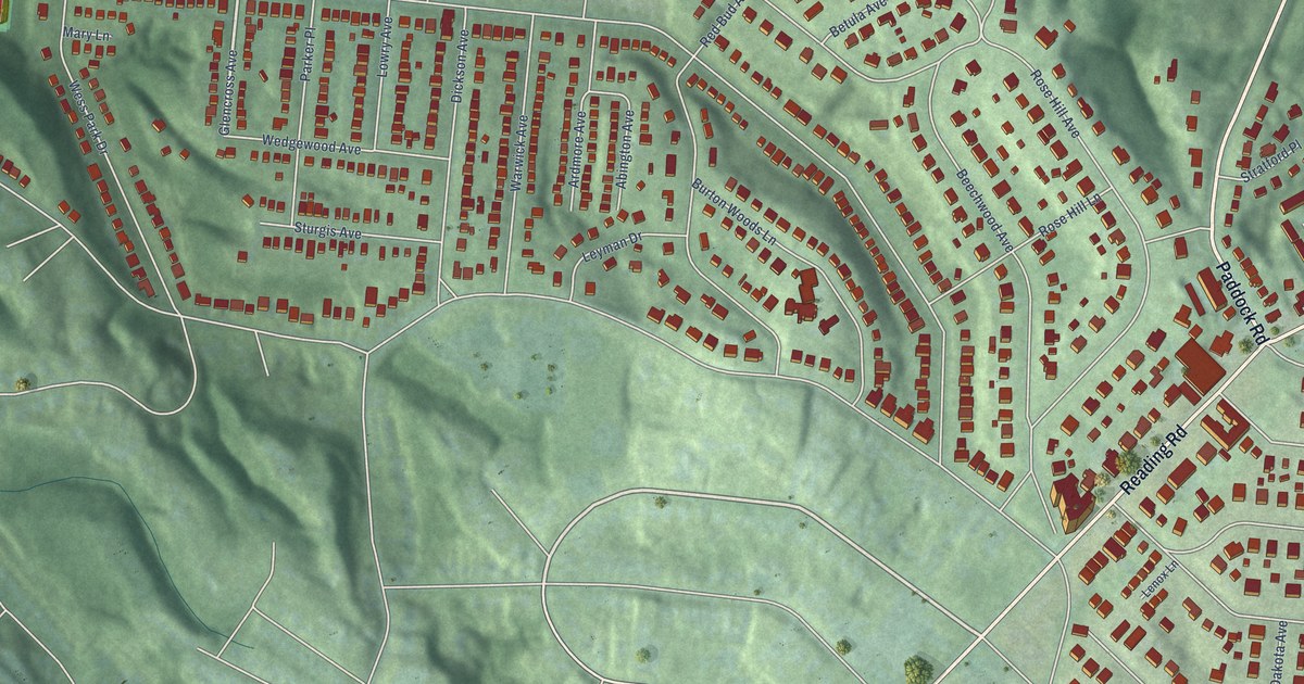
A detailed map of North Avondale, Ohio, showing every building in its true location, the roads by name, and shaded topographical relief.
Read More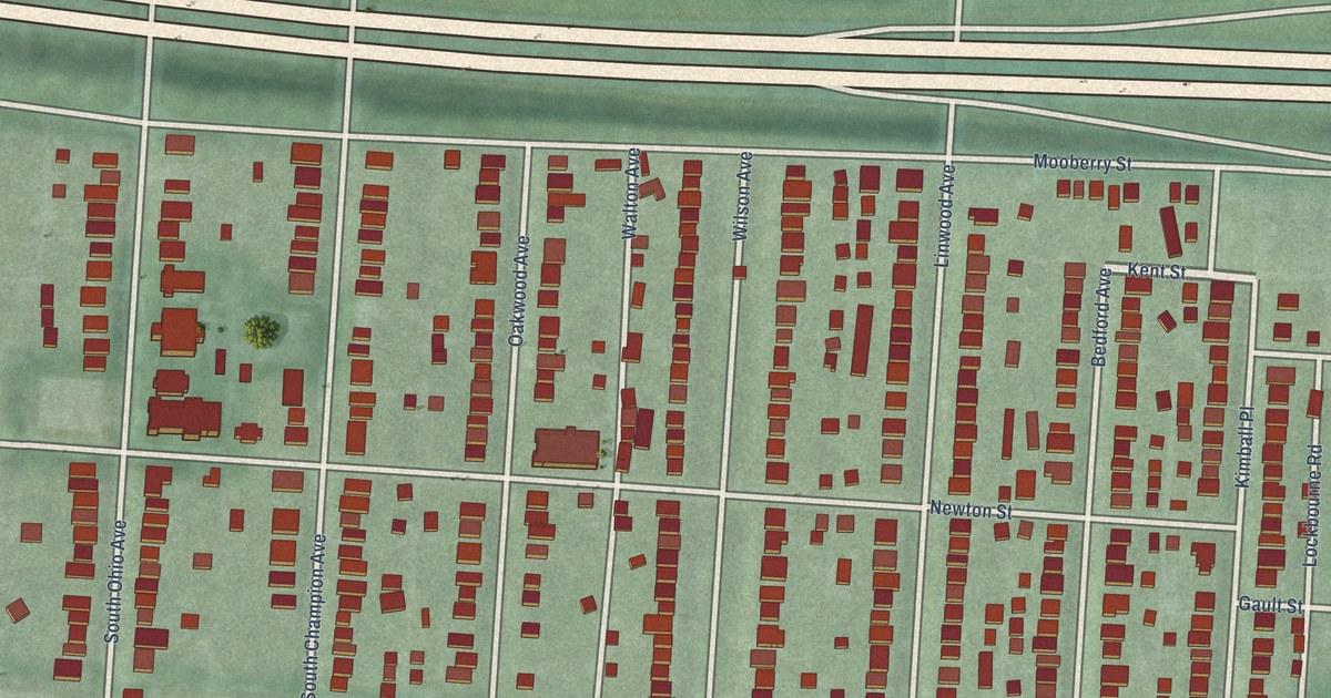
A detailed map of Old Oaks, Ohio, showing every building in its true location, the roads by name, and shaded topographical relief.
Read More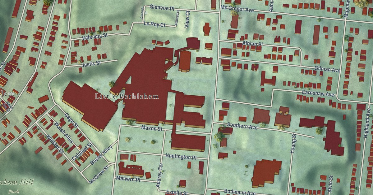
A detailed map of Mount Auburn, Ohio, showing every building in its true location, the roads by name, and shaded topographical relief.
Read More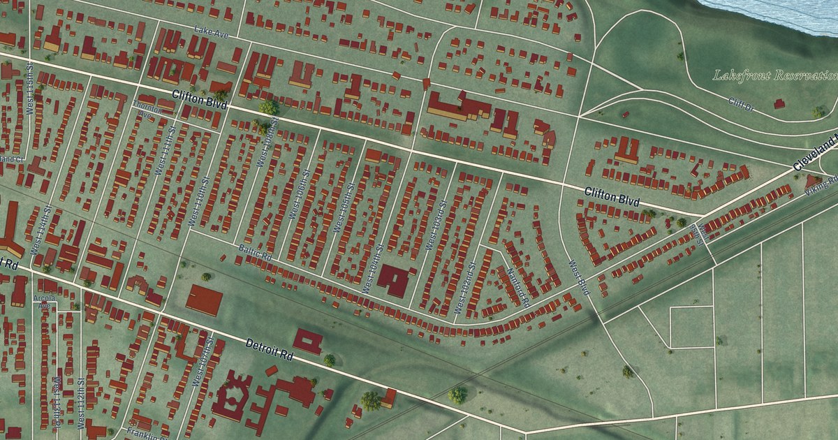
A detailed map of Edgewater, Ohio, showing every building in its true location, the roads by name, and shaded topographical relief.
Read More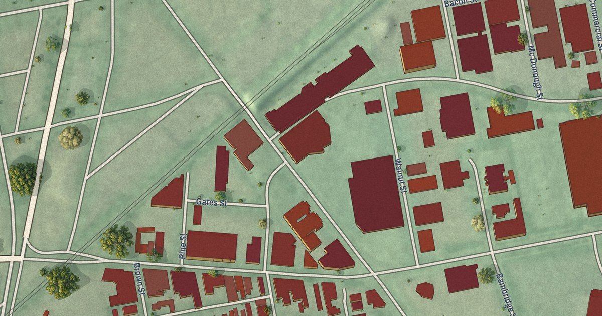
A detailed map of Oregon District, Ohio, showing every building in its true location, the roads by name, and shaded topographical relief.
Read More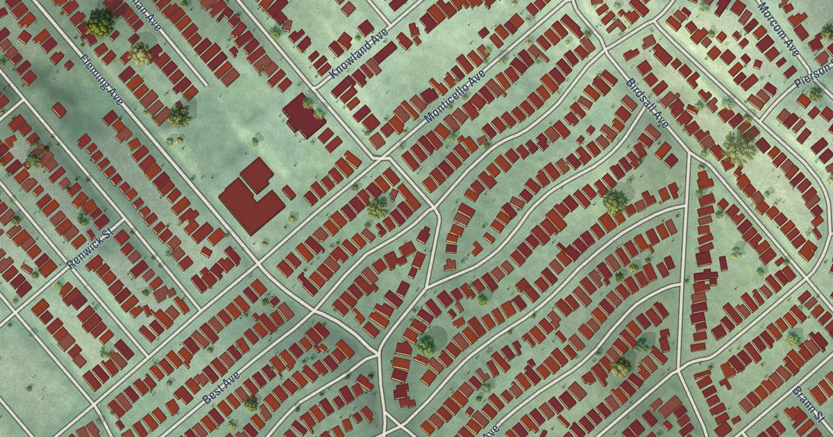
A detailed map of Maxwell Park, California, showing every building in its true location, the roads by name, and shaded topographical relief.
Read More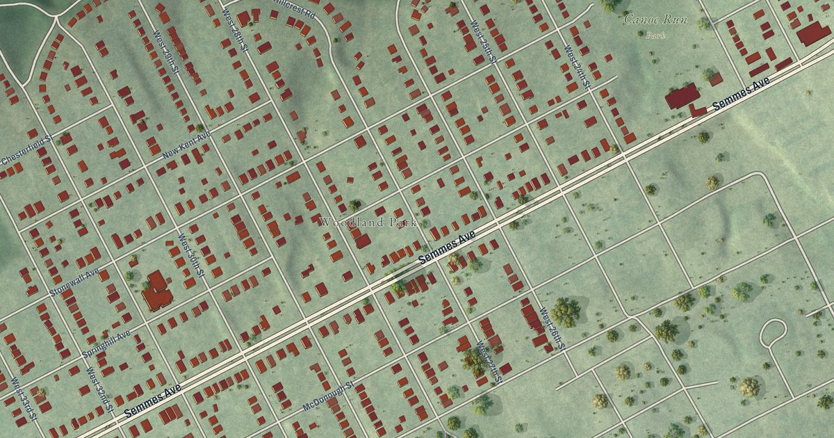
A detailed map of Woodland Heights, Virginia, showing every building in its true location, the roads by name, and shaded topographical relief.
Read More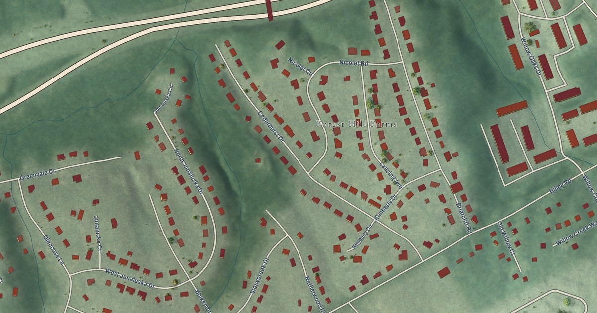
A detailed map of Westlake Hills, Virginia, showing every building in its true location, the roads by name, and shaded topographical relief.
Read More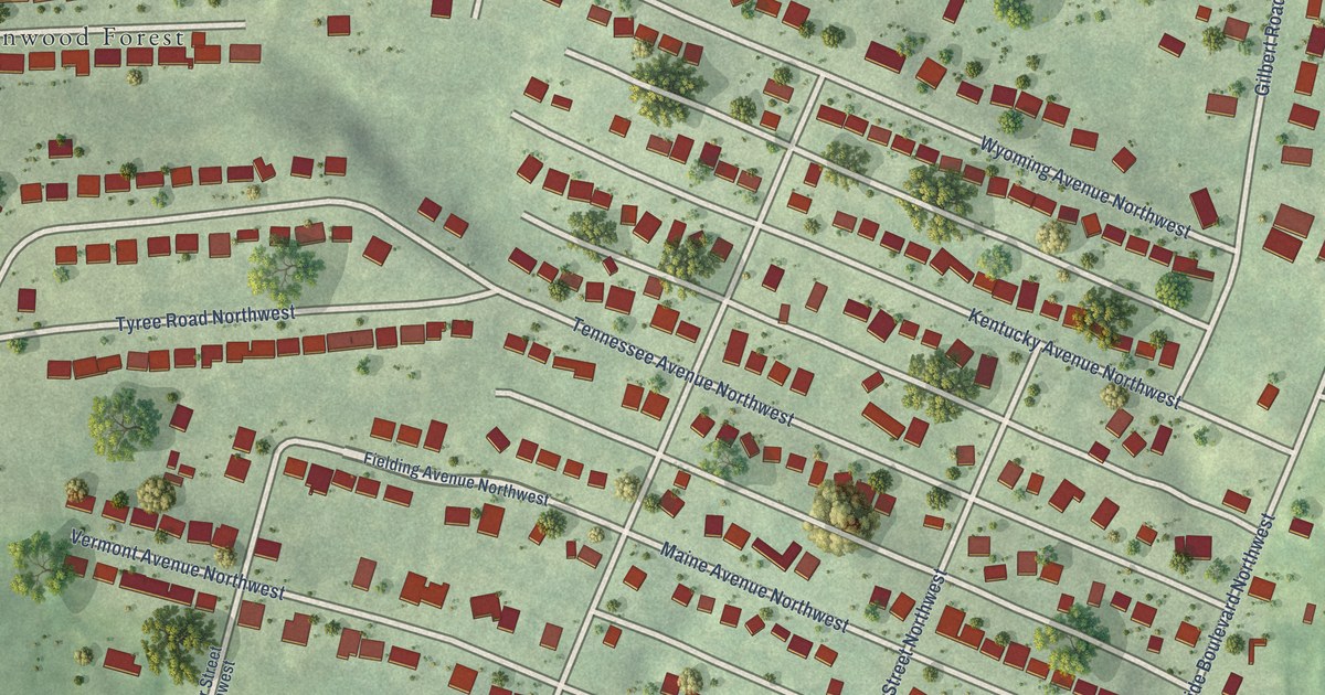
A detailed map of Washington Heights, Virginia, showing every building in its true location, the roads by name, and shaded topographical relief.
Read More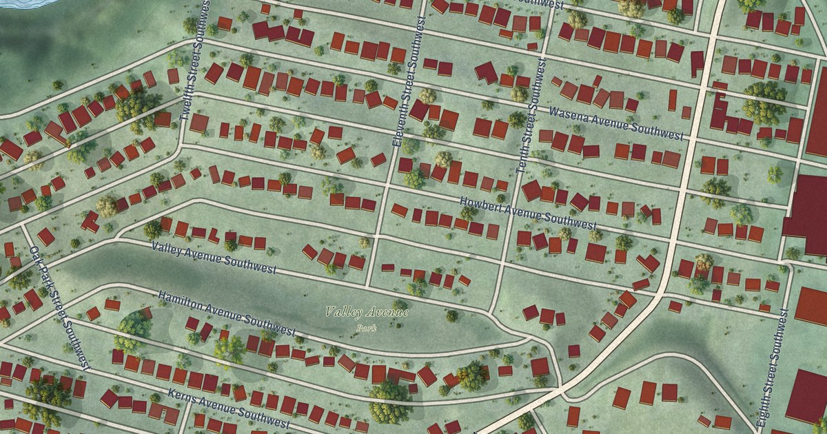
A detailed map of Wasena, Virginia, showing every building in its true location, the roads by name, and shaded topographical relief.
Read More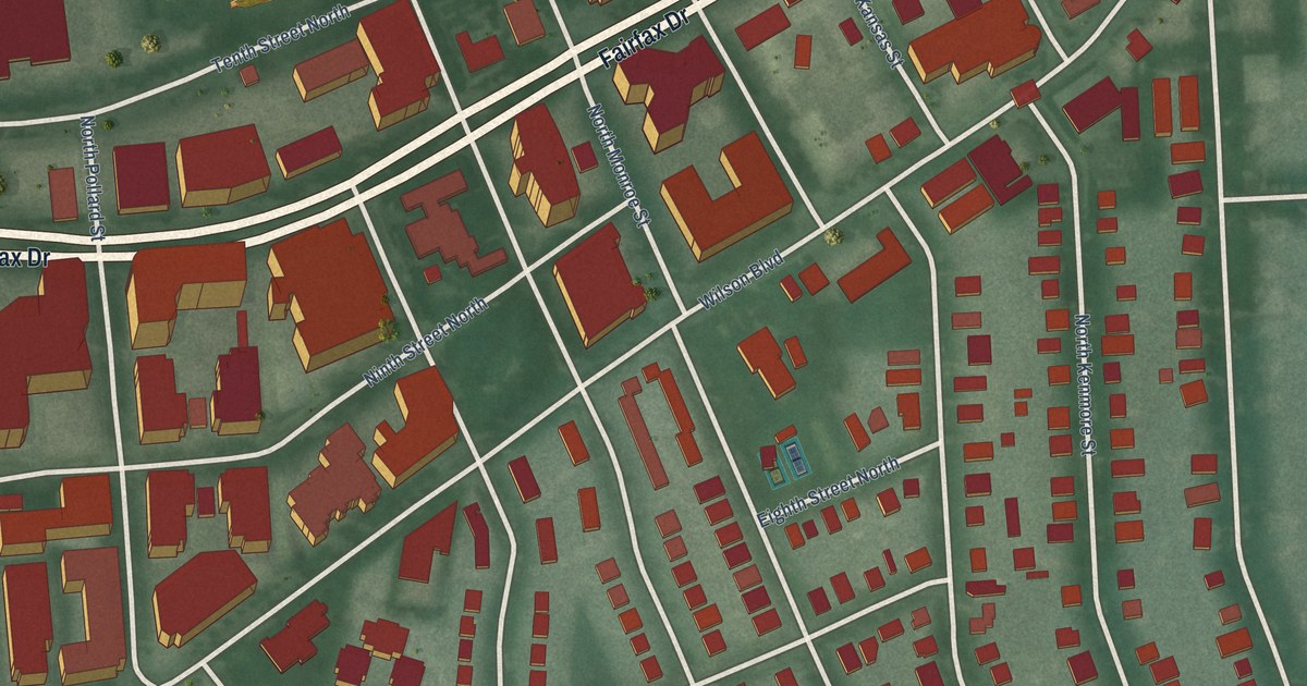
A detailed map of Virginia Square, Virginia, showing every building in its true location, the roads by name, and shaded topographical relief.
Read More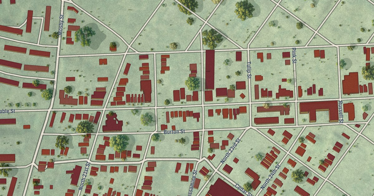
A detailed map of Union Hill, Virginia, showing every building in its true location, the roads by name, and shaded topographical relief.
Read More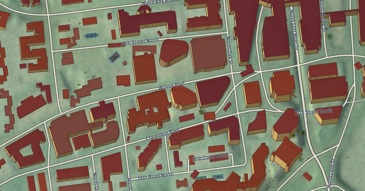
A detailed map of Rosslyn, Virginia, showing every building in its true location, the roads by name, and shaded topographical relief.
Read More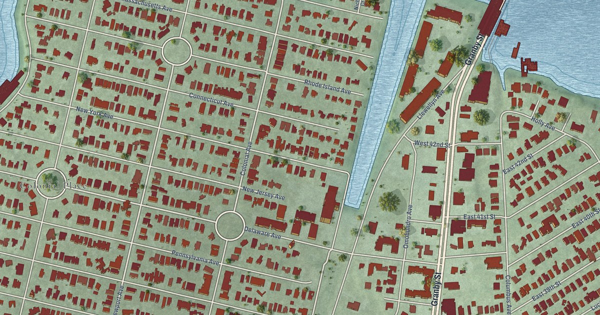
A detailed map of Riverview, Virginia, showing every building in its true location, the roads by name, and shaded topographical relief.
Read More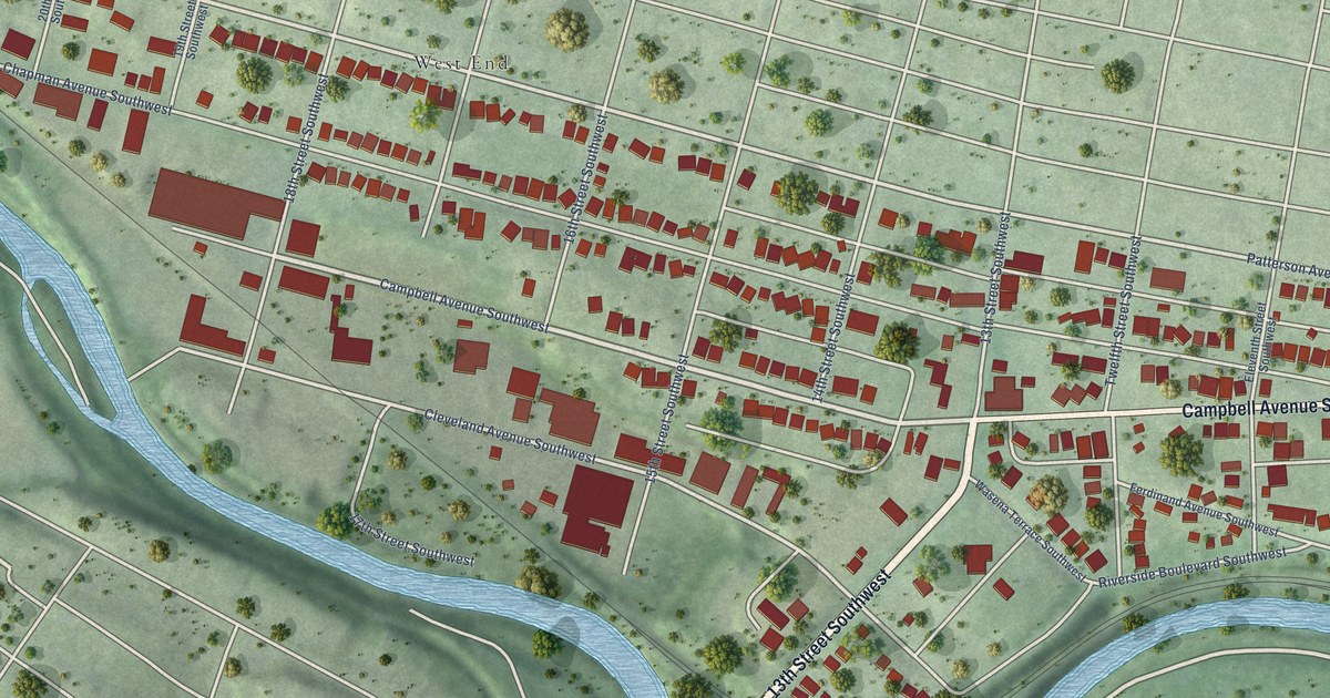
A detailed map of Mountain View, Virginia, showing every building in its true location, the roads by name, and shaded topographical relief.
Read More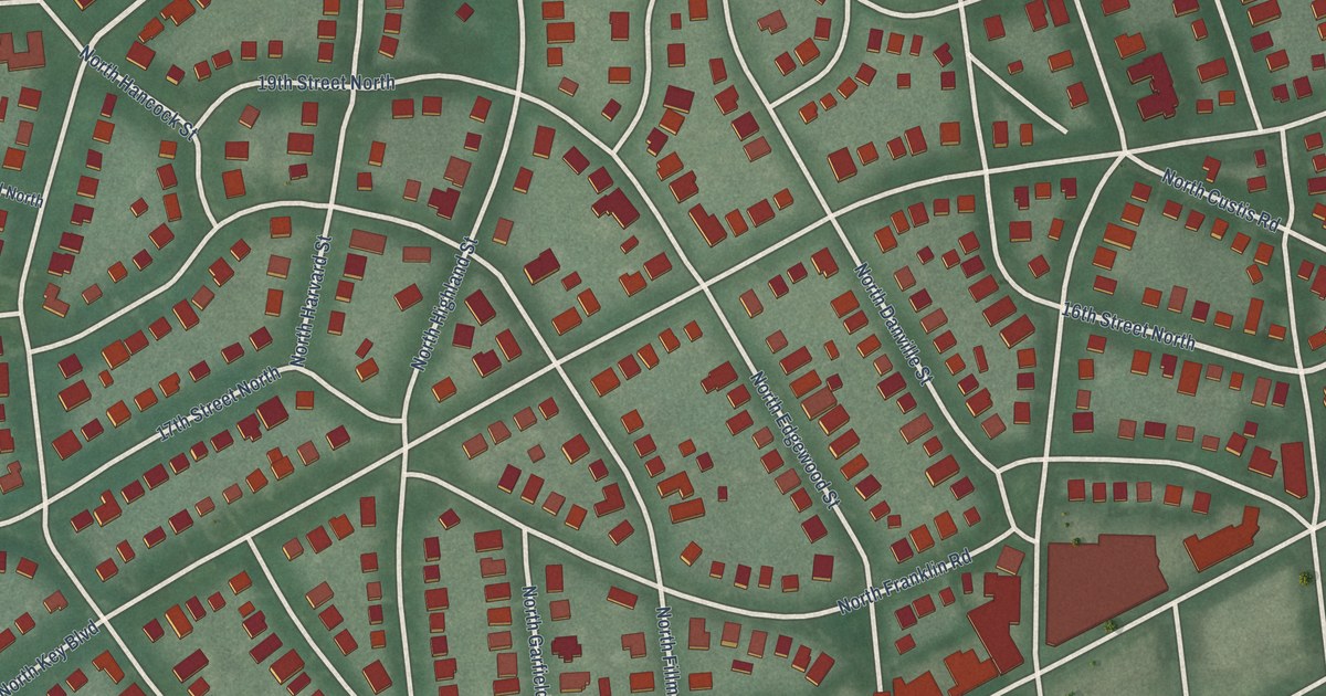
A detailed map of Lyon Village, Virginia, showing every building in its true location, the roads by name, and shaded topographical relief.
Read More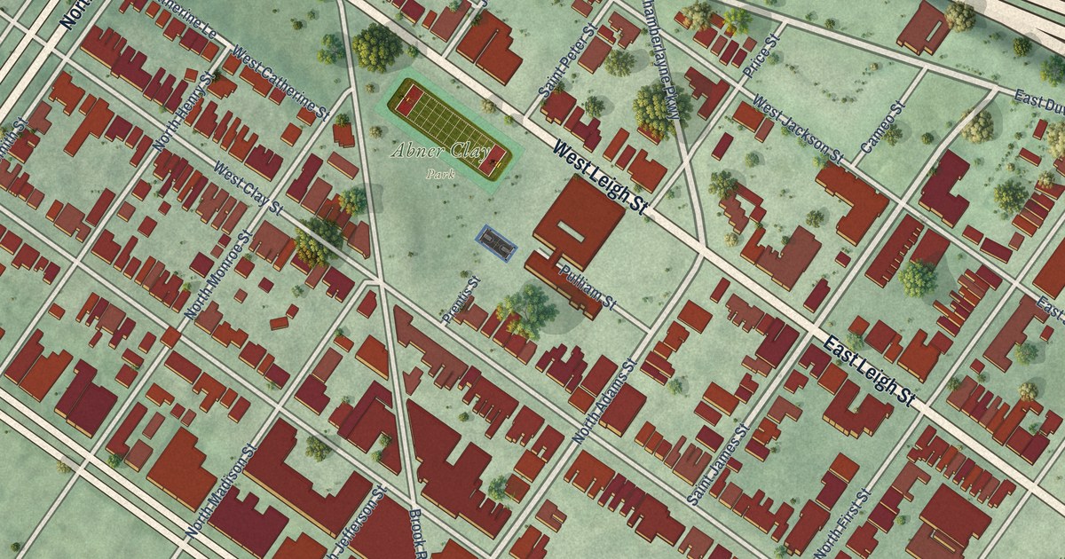
A detailed map of Jackson Ward, Virginia, showing every building in its true location, the roads by name, and shaded topographical relief.
Read More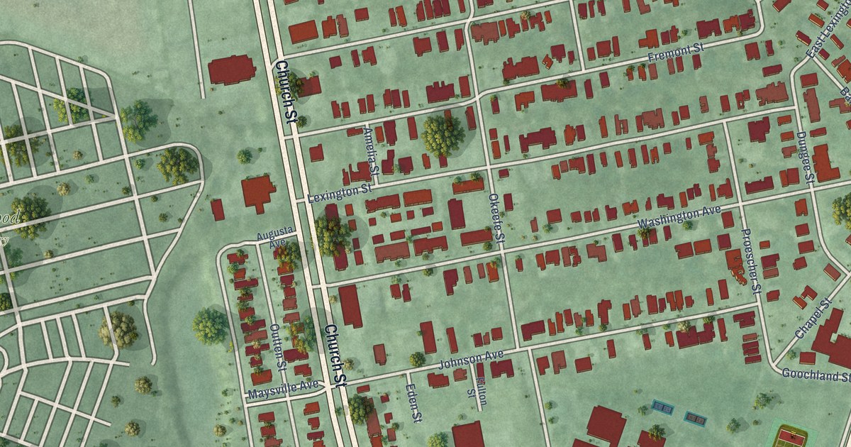
A detailed map of Huntersville, Virginia, showing every building in its true location, the roads by name, and shaded topographical relief.
Read More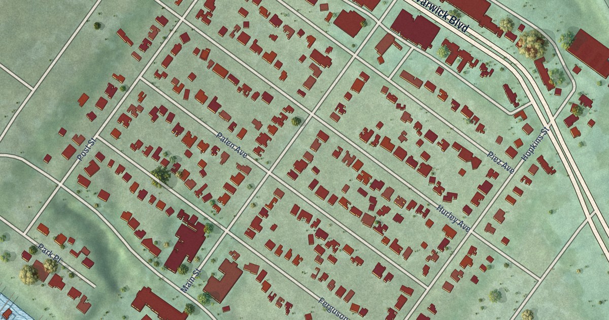
A detailed map of Hilton Village, Virginia, showing every building in its true location, the roads by name, and shaded topographical relief.
Read More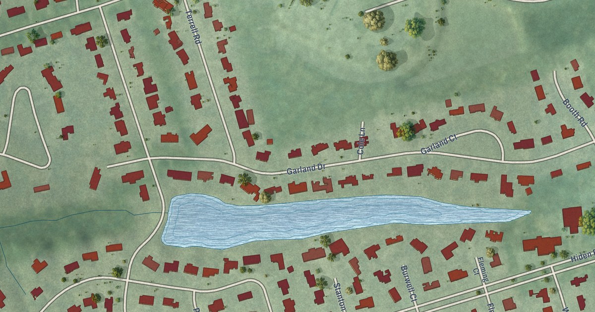
A detailed map of Hidenwood, Virginia, showing every building in its true location, the roads by name, and shaded topographical relief.
Read More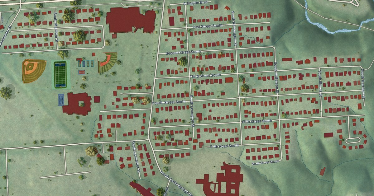
A detailed map of Glencarlyn, Virginia, showing every building in its true location, the roads by name, and shaded topographical relief.
Read More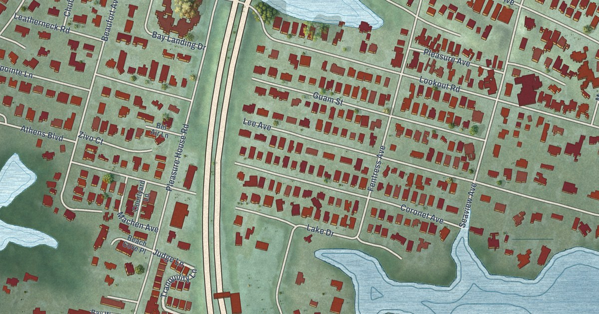
A detailed map of Chesapeake Beach, Virginia, showing every building in its true location, the roads by name, and shaded topographical relief.
Read More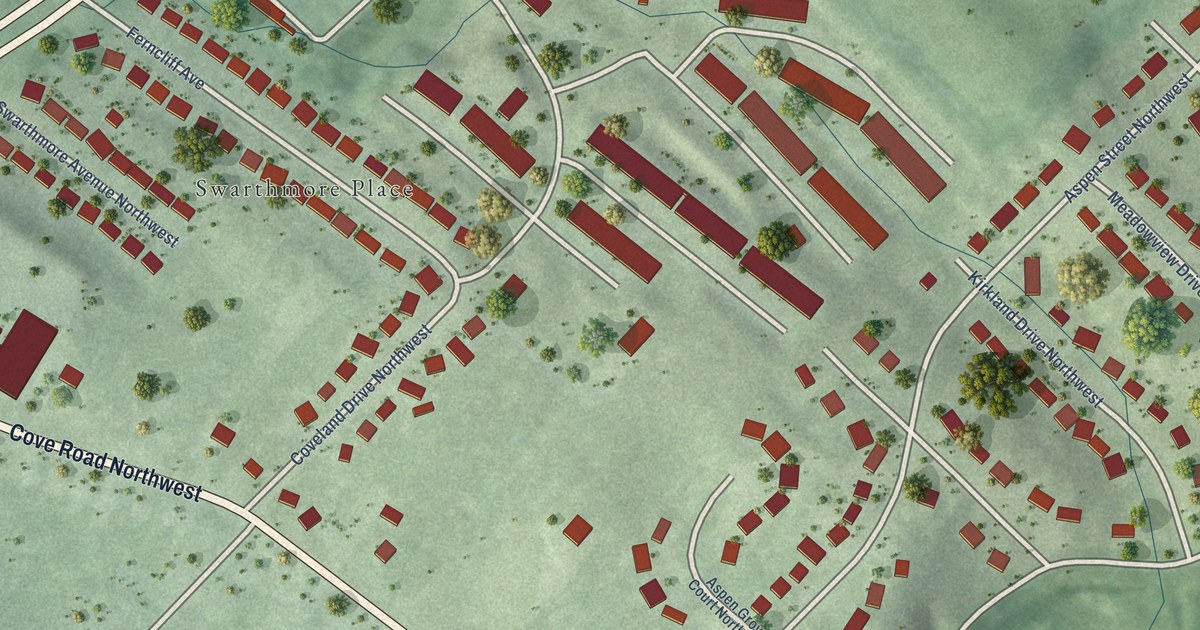
A detailed map of Fairland, Virginia, showing every building in its true location, the roads by name, and shaded topographical relief.
Read More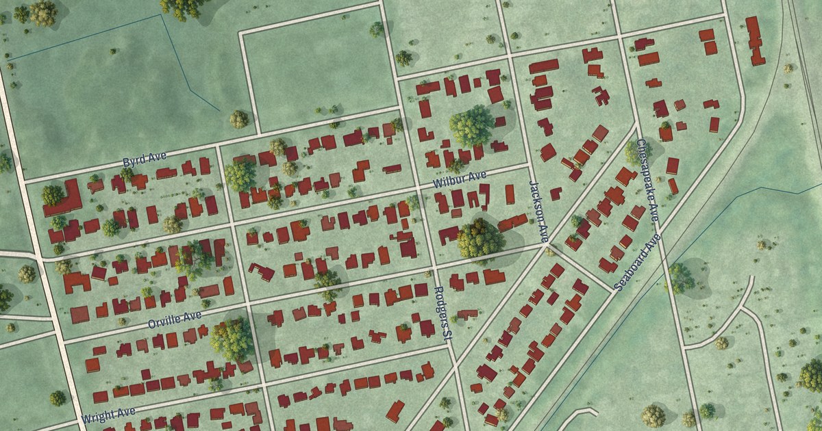
A detailed map of Avalon, Virginia, showing every building in its true location, the roads by name, and shaded topographical relief.
Read More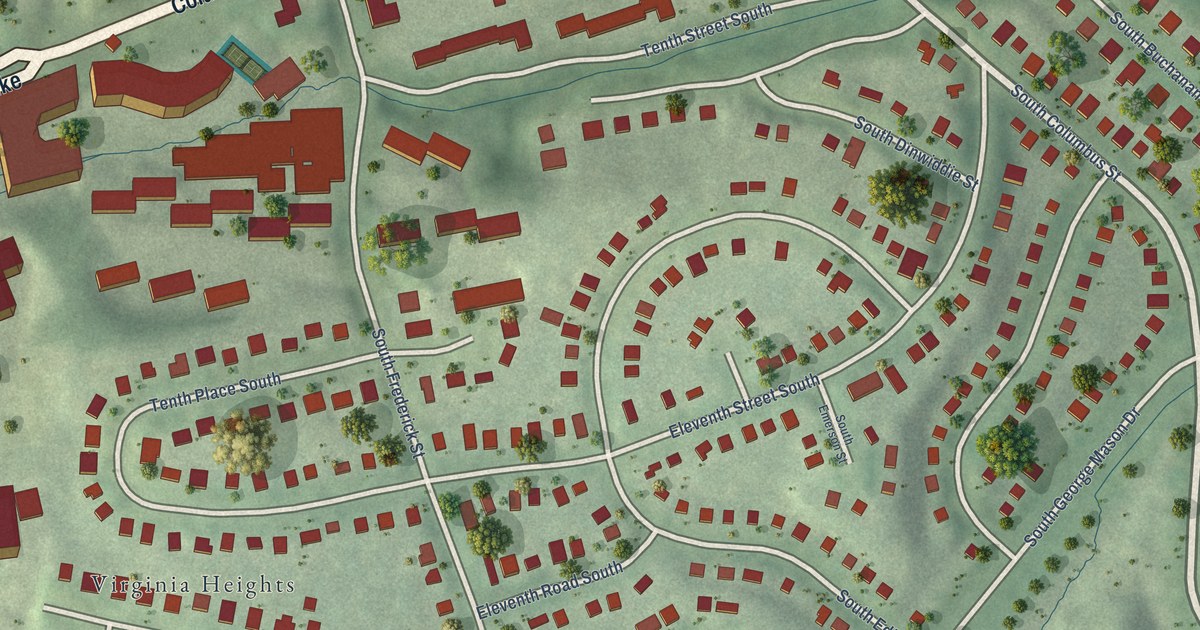
A detailed map of Columbia Forest, Virginia, showing every building in its true location, the roads by name, and shaded topographical relief.
Read More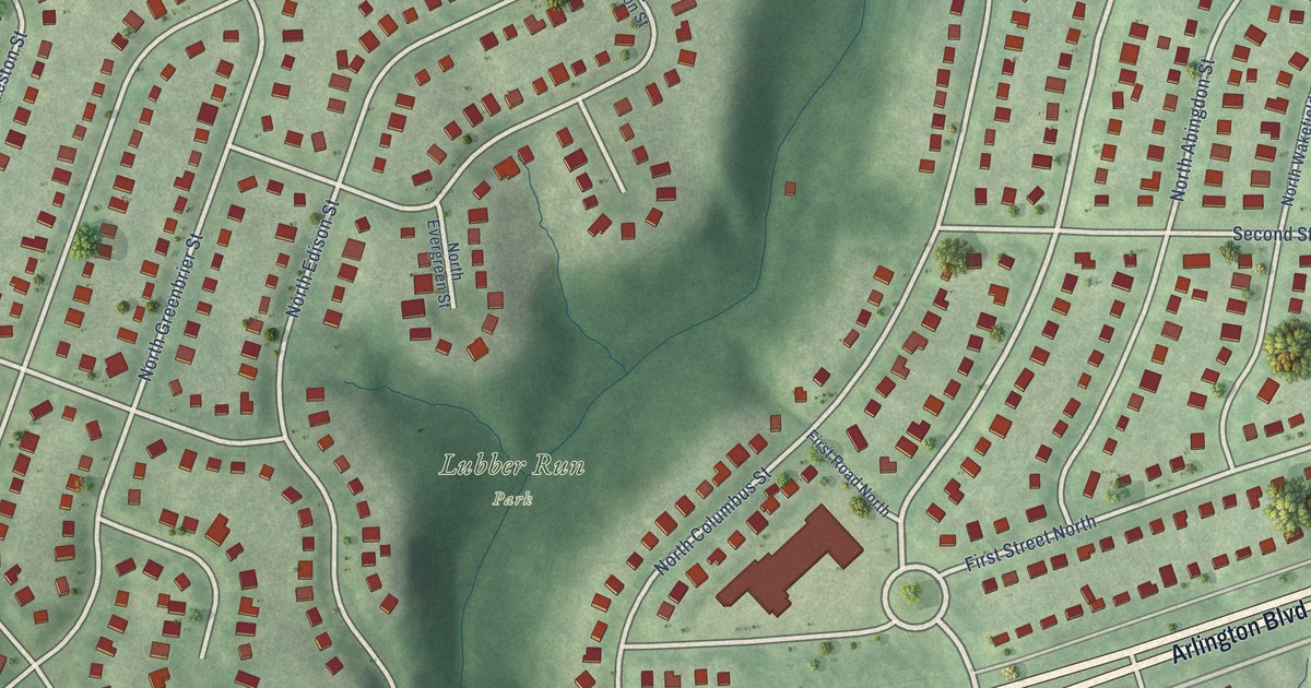
A detailed map of Arlington Forest, Virginia, showing every building in its true location, the roads by name, and shaded topographical relief.
Read More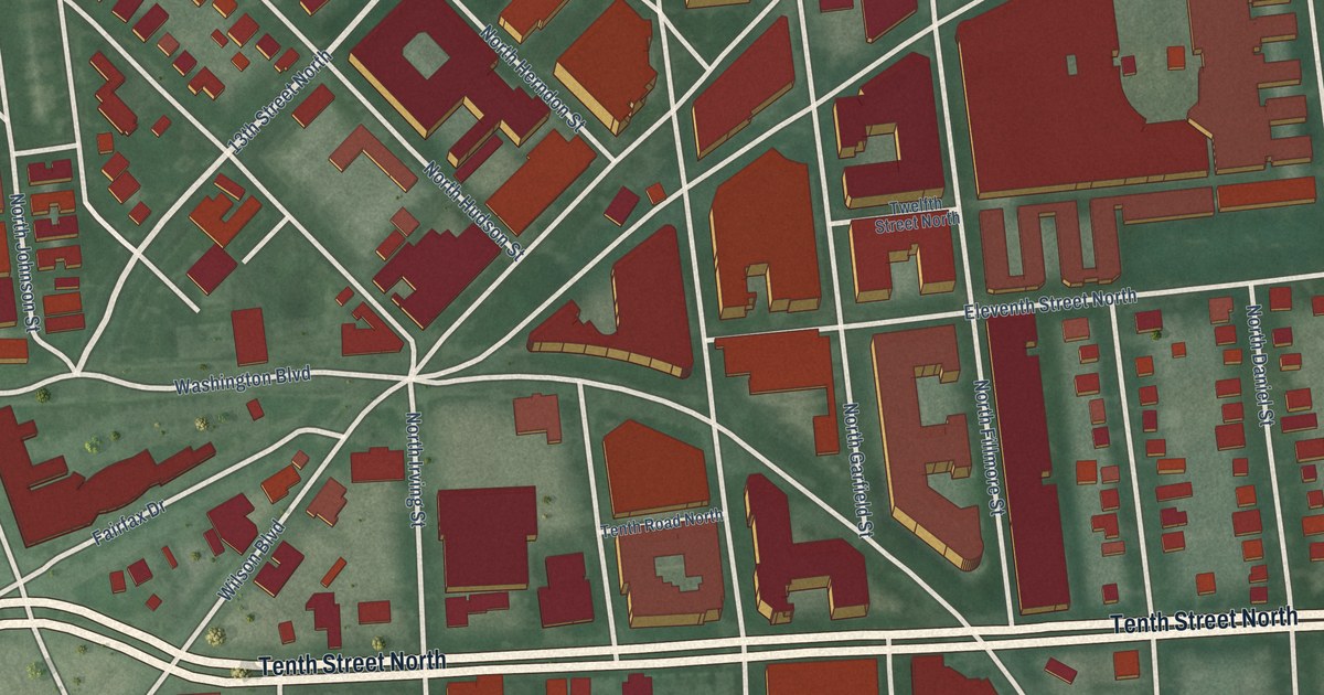
A detailed map of Clarendon, Virginia, showing every building in its true location, the roads by name, and shaded topographical relief.
Read More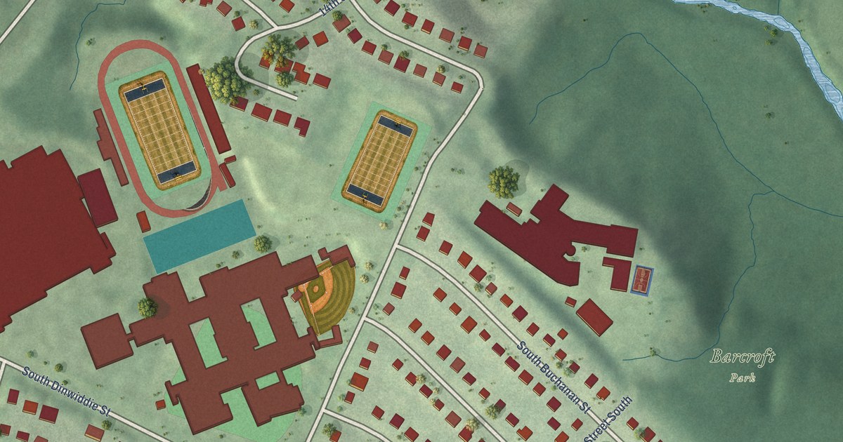
A detailed map of Claremont, Virginia, showing every building in its true location, the roads by name, and shaded topographical relief.
Read More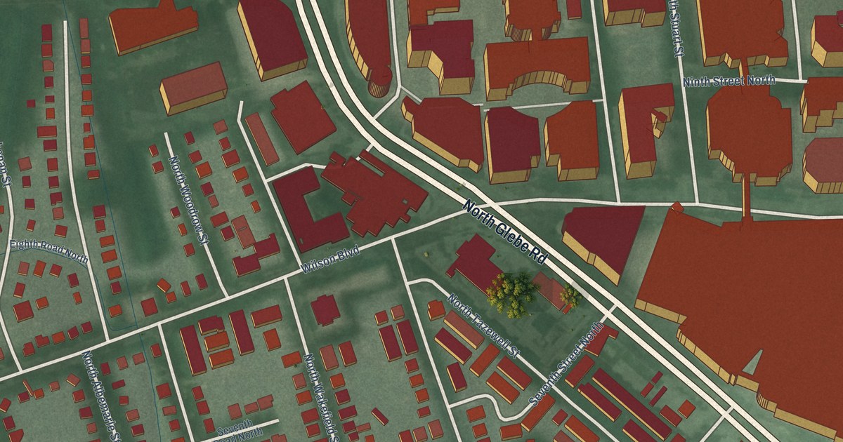
A detailed map of Ballston, Virginia, showing every building in its true location, the roads by name, and shaded topographical relief.
Read More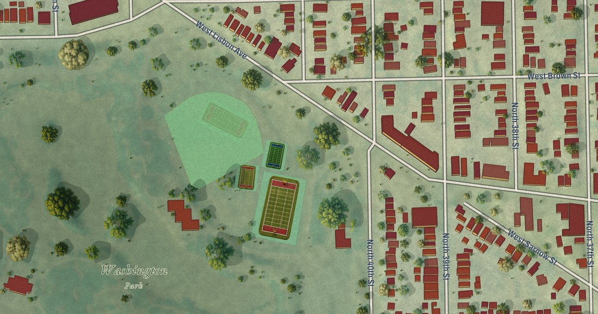
A detailed map of Washington Park, Wisconsin, showing every building in its true location, the roads by name, and shaded topographical relief.
Read More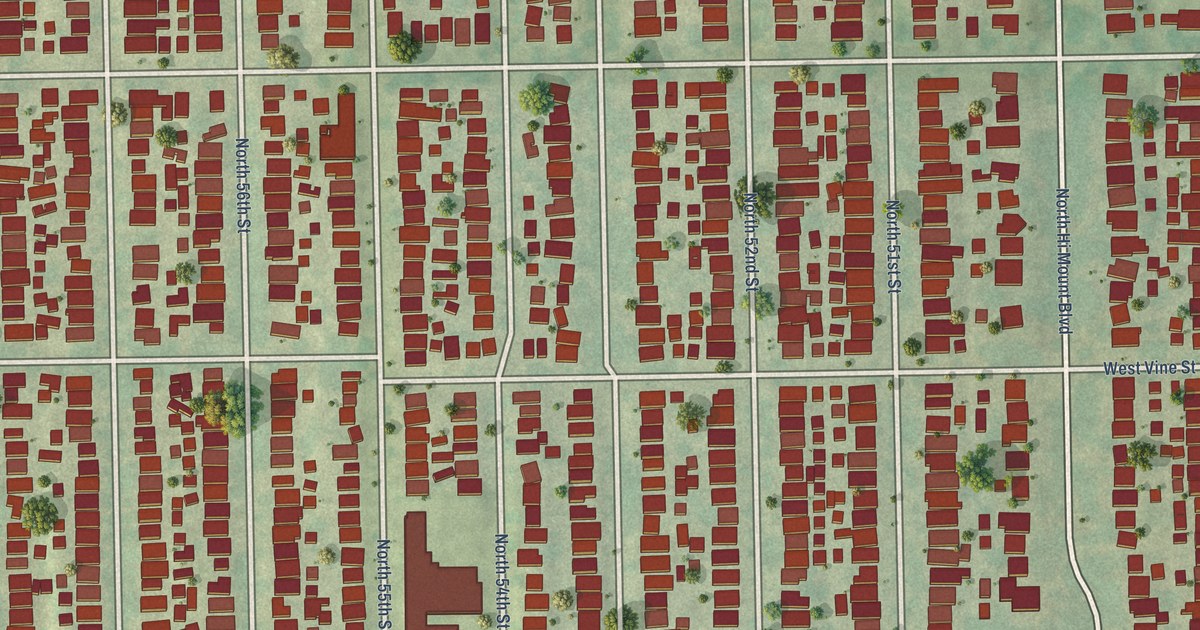
A detailed map of Washington Heights, Wisconsin, showing every building in its true location, the roads by name, and shaded topographical relief.
Read More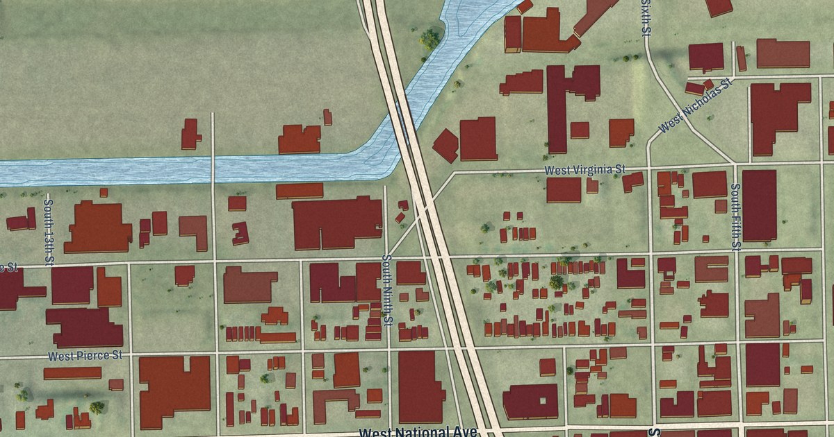
A detailed map of Walker’s Point, Wisconsin, showing every building in its true location, the roads by name, and shaded topographical relief.
Read More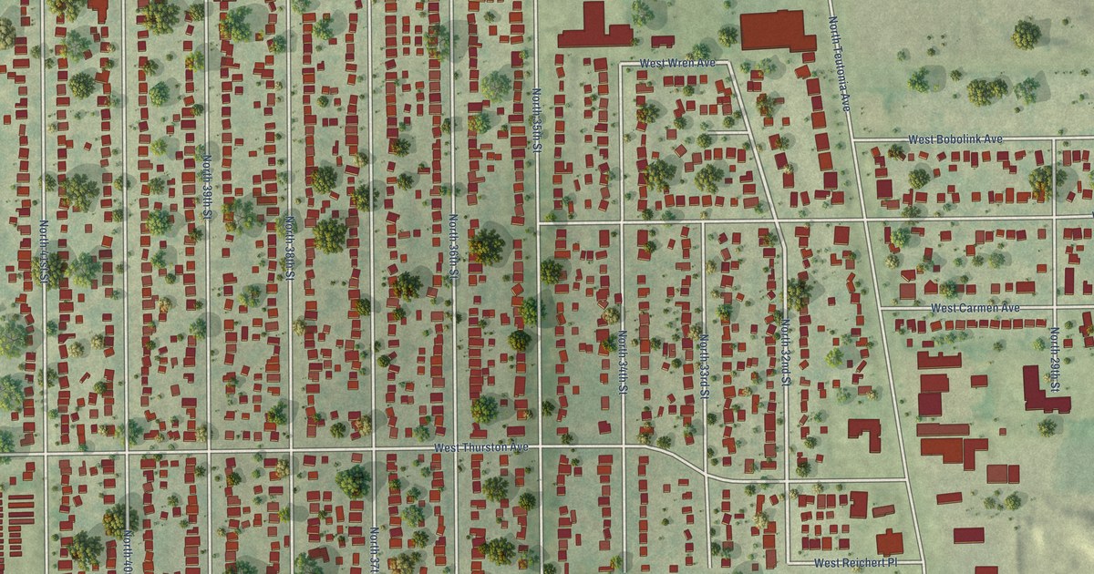
A detailed map of Thurston Woods, Wisconsin, showing every building in its true location, the roads by name, and shaded topographical relief.
Read More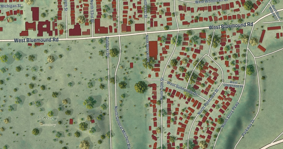
A detailed map of Story Hill, Wisconsin, showing every building in its true location, the roads by name, and shaded topographical relief.
Read More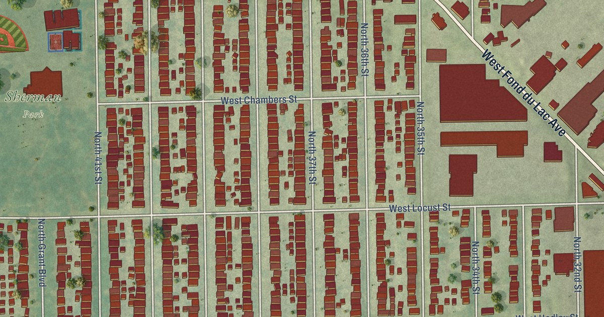
A detailed map of Sherman Park, Wisconsin, showing every building in its true location, the roads by name, and shaded topographical relief.
Read More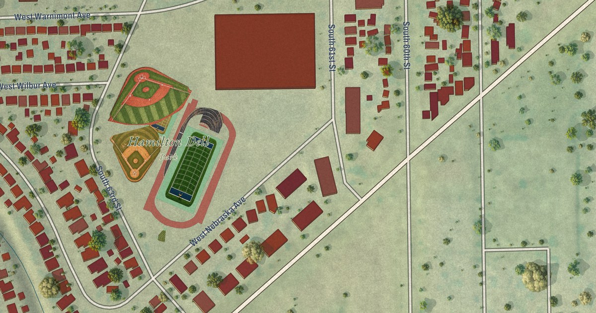
A detailed map of Root Creek, Wisconsin, showing every building in its true location, the roads by name, and shaded topographical relief.
Read More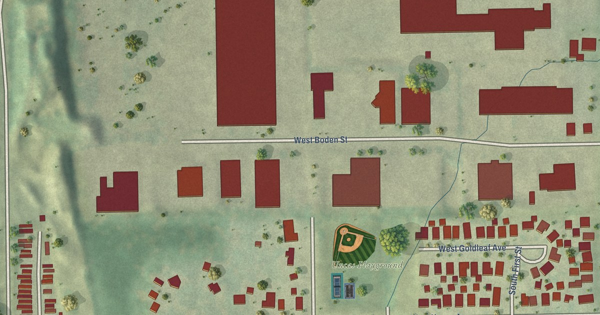
A detailed map of New Coeln, Wisconsin, showing every building in its true location, the roads by name, and shaded topographical relief.
Read More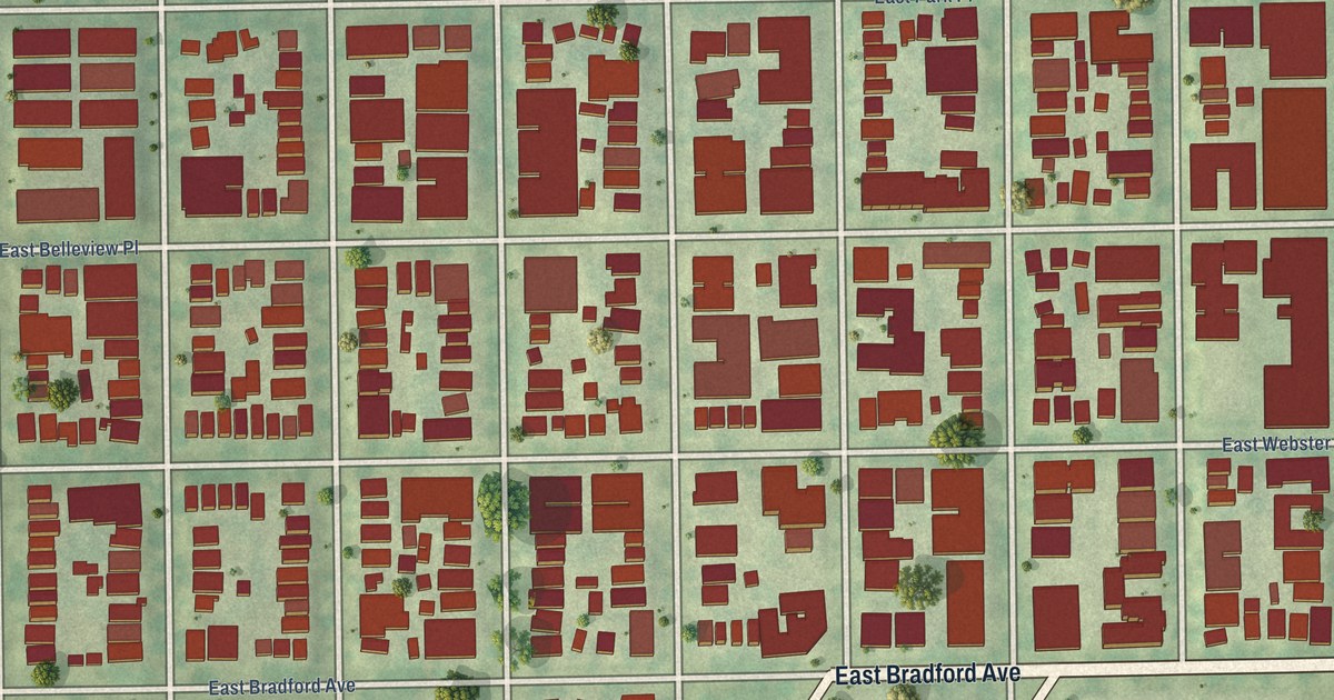
A detailed map of Murray Hill, Wisconsin, showing every building in its true location, the roads by name, and shaded topographical relief.
Read More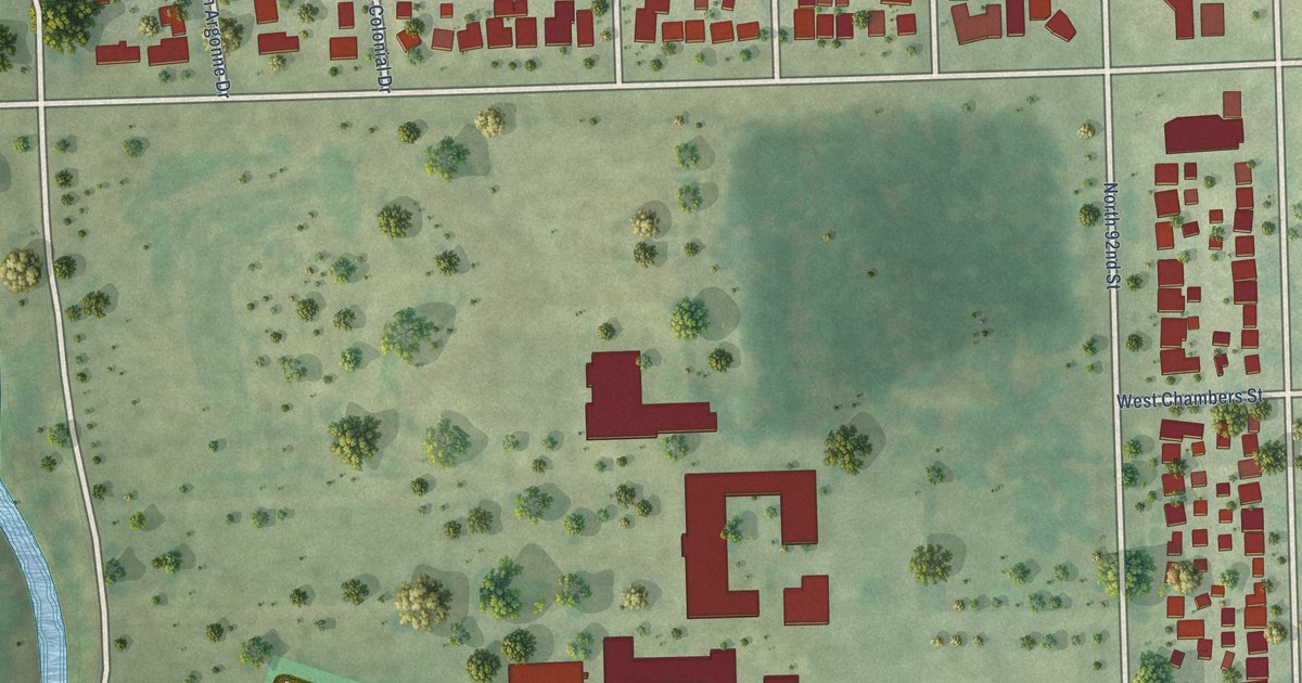
A detailed map of Mount Mary, Wisconsin, showing every building in its true location, the roads by name, and shaded topographical relief.
Read More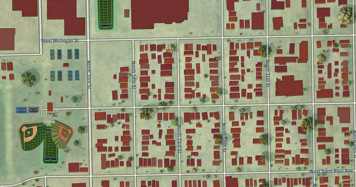
A detailed map of Merrill Park, Wisconsin, showing every building in its true location, the roads by name, and shaded topographical relief.
Read More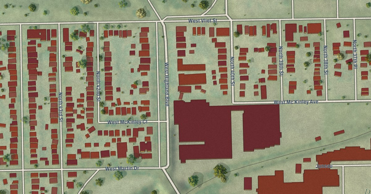
A detailed map of Martin Drive, Wisconsin, showing every building in its true location, the roads by name, and shaded topographical relief.
Read More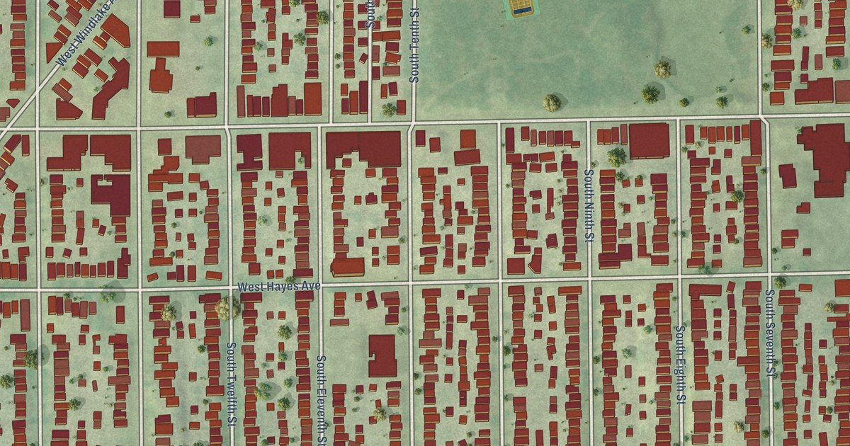
A detailed map of Lincoln Village, Wisconsin, showing every building in its true location, the roads by name, and shaded topographical relief.
Read More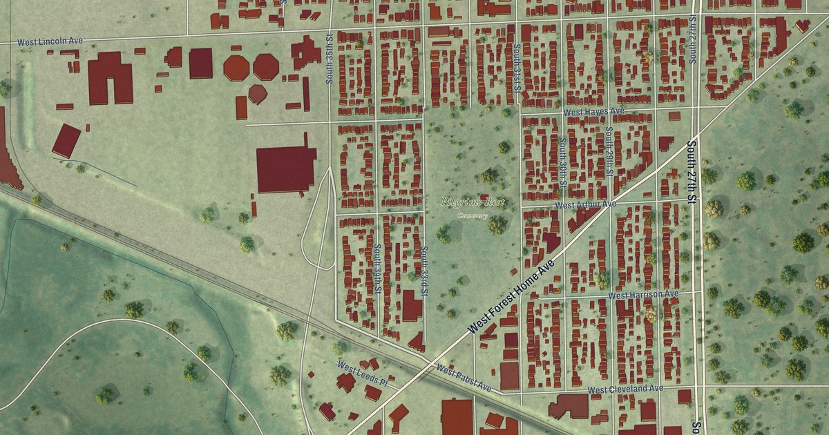
A detailed map of Layton Park, Wisconsin, showing every building in its true location, the roads by name, and shaded topographical relief.
Read More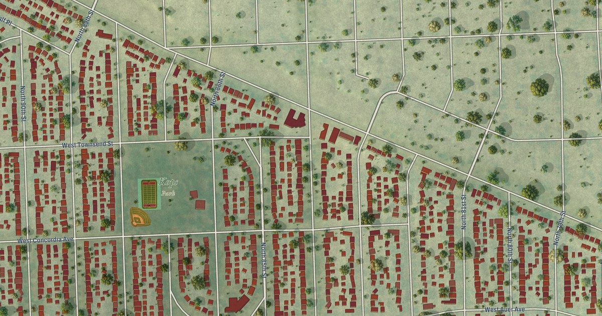
A detailed map of Kops Park, Wisconsin, showing every building in its true location, the roads by name, and shaded topographical relief.
Read More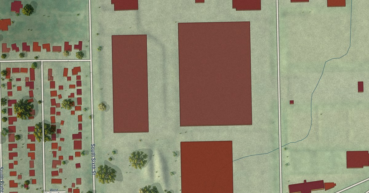
A detailed map of Holler Park, Wisconsin, showing every building in its true location, the roads by name, and shaded topographical relief.
Read More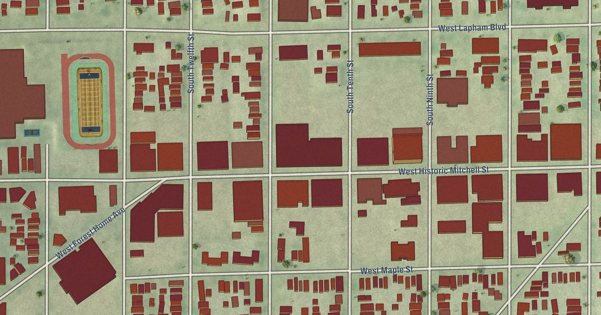
A detailed map of Historic Mitchell Street, Wisconsin, showing every building in its true location, the roads by name, and shaded topographical relief.
Read More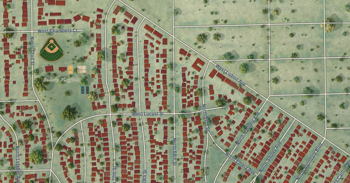
A detailed map of Enderis Park, Wisconsin, showing every building in its true location, the roads by name, and shaded topographical relief.
Read More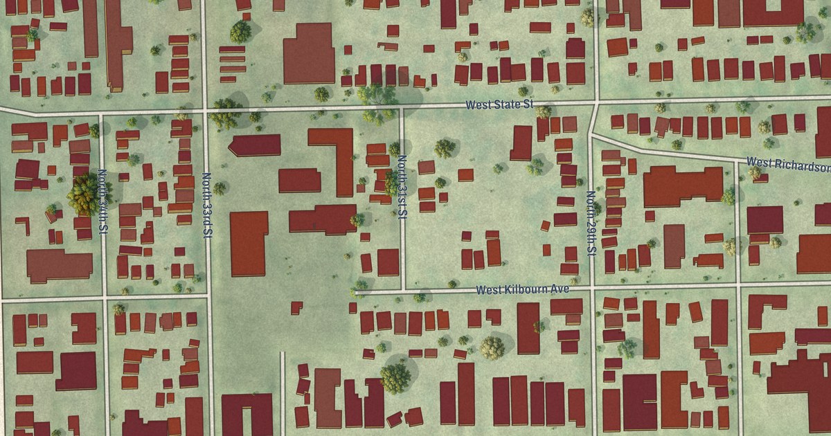
A detailed map of Concordia, Wisconsin, showing every building in its true location, the roads by name, and shaded topographical relief.
Read More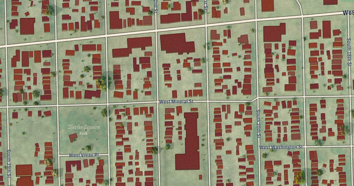
A detailed map of Clarke Square, Wisconsin, showing every building in its true location, the roads by name, and shaded topographical relief.
Read More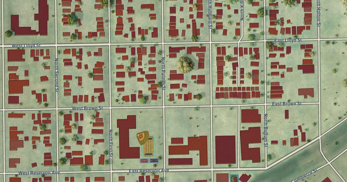
A detailed map of Brewers Hill, Wisconsin, showing every building in its true location, the roads by name, and shaded topographical relief.
Read More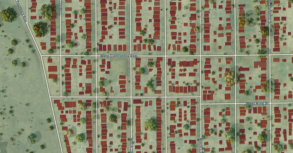
A detailed map of Borchert Field, Wisconsin, showing every building in its true location, the roads by name, and shaded topographical relief.
Read More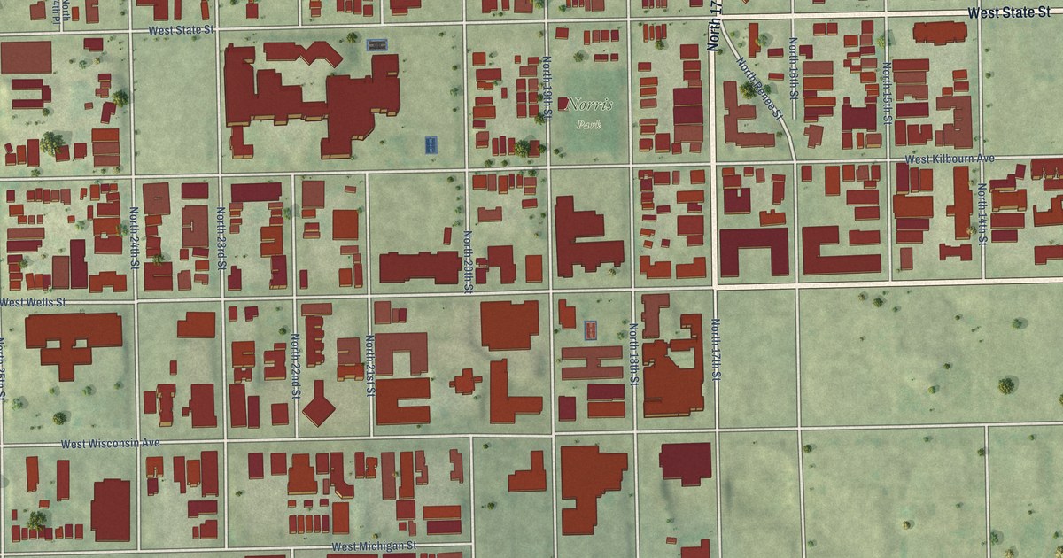
A detailed map of Avenues West, Wisconsin, showing every building in its true location, the roads by name, and shaded topographical relief.
Read More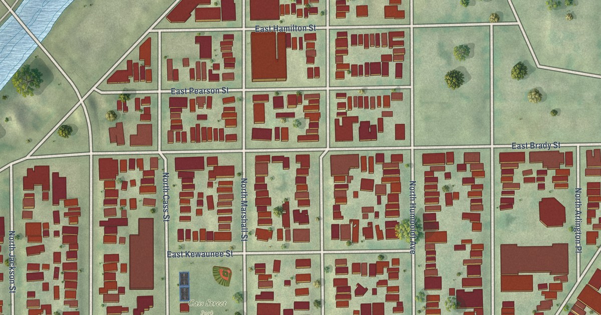
A detailed map of Brady Street, Wisconsin, showing every building in its true location, the roads by name, and shaded topographical relief.
Read More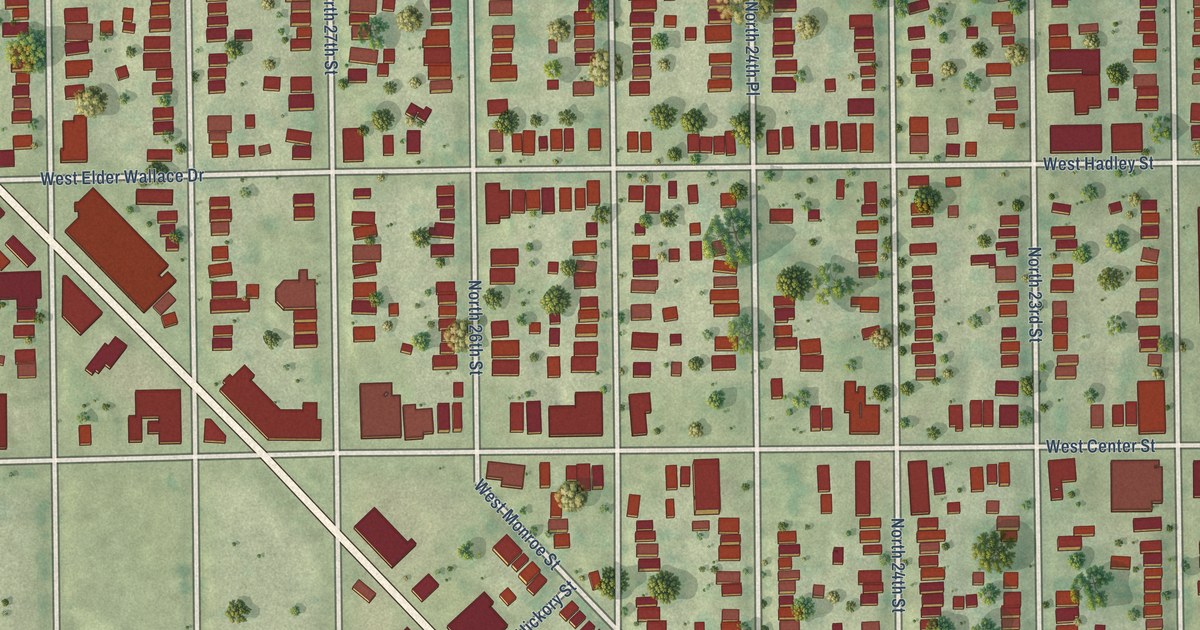
A detailed map of Amani, Wisconsin, showing every building in its true location, the roads by name, and shaded topographical relief.
Read More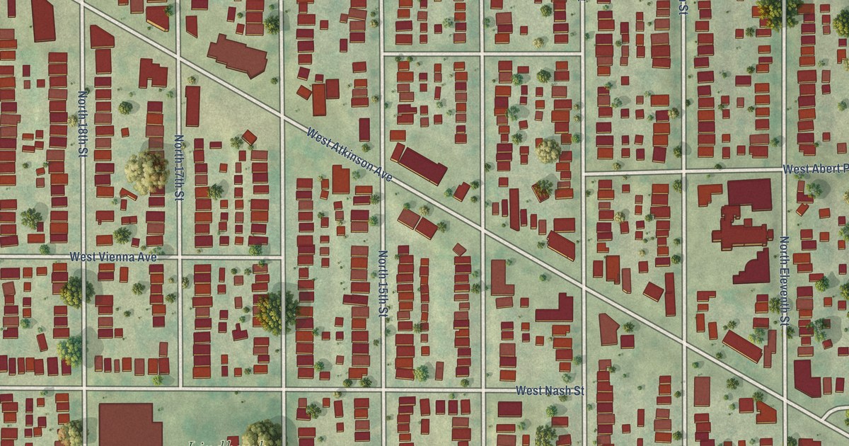
A detailed map of Arlington Heights, Wisconsin, showing every building in its true location, the roads by name, and shaded topographical relief.
Read More















