Detailed Map of Westgate, Ohio
A detailed map of Westgate, Ohio, showing every building in its true location, the roads by name, and shaded topographical relief.
Read More
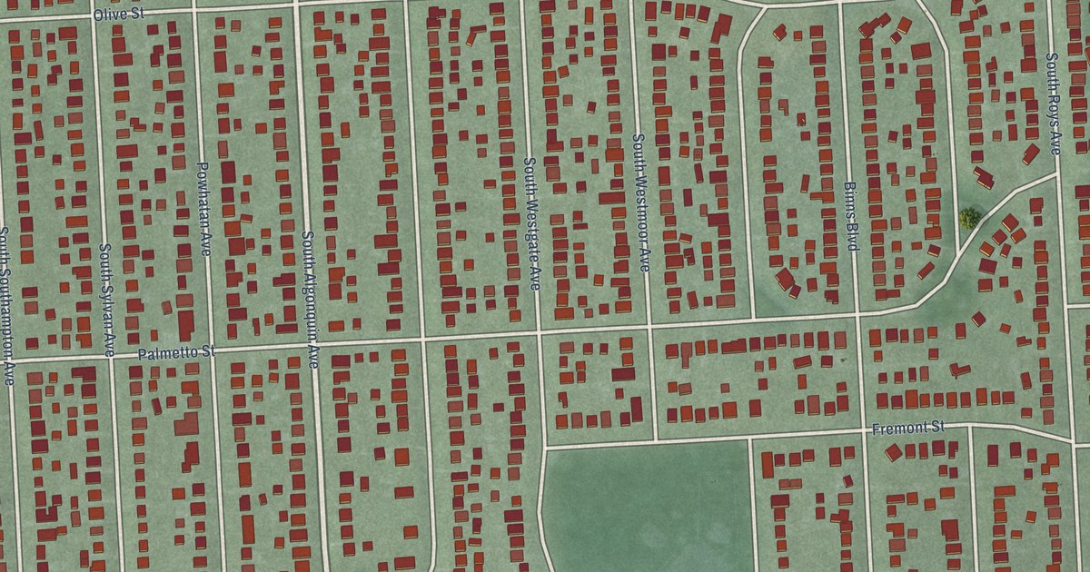
A detailed map of Westgate, Ohio, showing every building in its true location, the roads by name, and shaded topographical relief.
Read More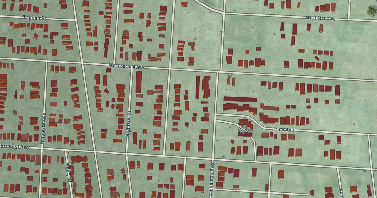
A detailed map of Victorian Village, Ohio, showing every building in its true location, the roads by name, and shaded topographical relief.
Read More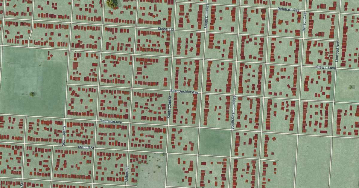
A detailed map of South Side, Ohio, showing every building in its true location, the roads by name, and shaded topographical relief.
Read More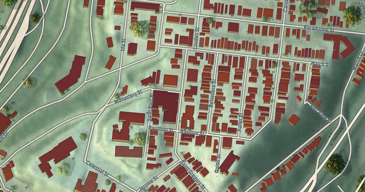
A detailed map of Mount Adams, Ohio, showing every building in its true location, the roads by name, and shaded topographical relief.
Read More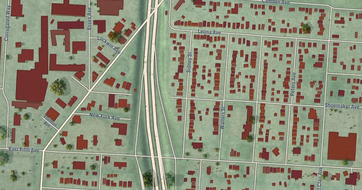
A detailed map of Milo-Grogan, Ohio, showing every building in its true location, the roads by name, and shaded topographical relief.
Read More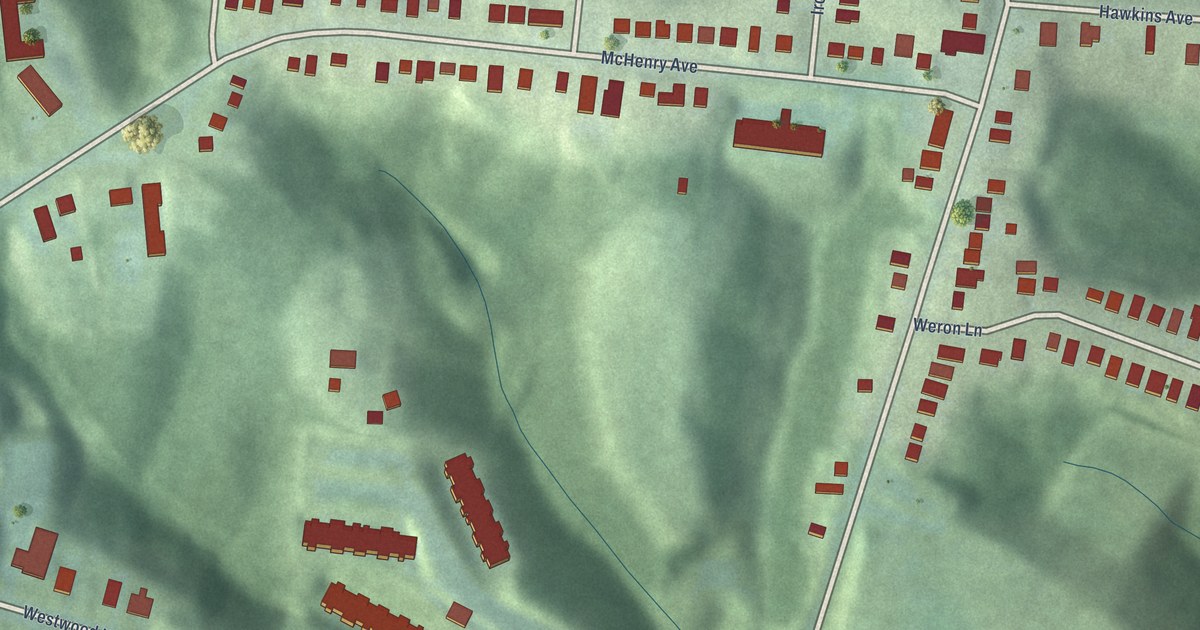
A detailed map of East Westwood, Ohio, showing every building in its true location, the roads by name, and shaded topographical relief.
Read More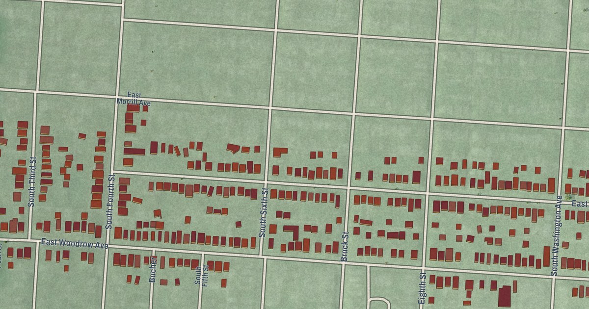
A detailed map of Hungarian Village, Ohio, showing every building in its true location, the roads by name, and shaded topographical relief.
Read More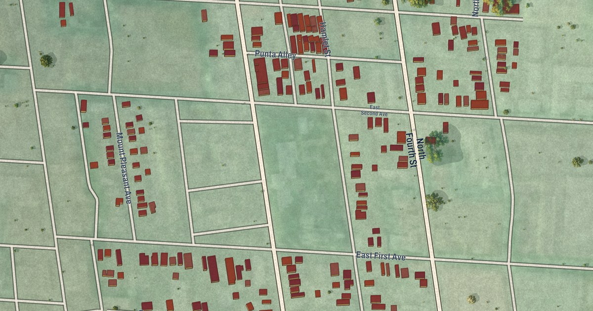
A detailed map of Italian Village, Ohio, showing every building in its true location, the roads by name, and shaded topographical relief.
Read More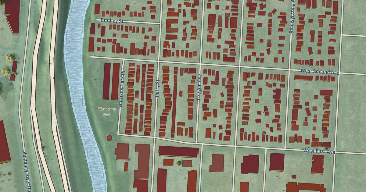
A detailed map of Harrison West, Ohio, showing every building in its true location, the roads by name, and shaded topographical relief.
Read More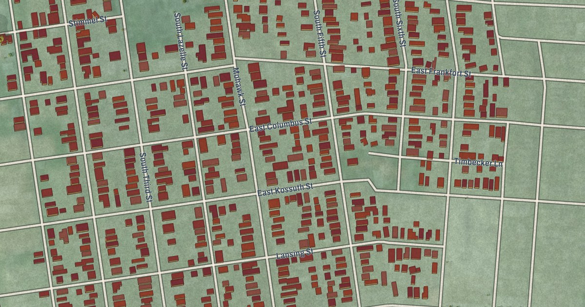
A detailed map of German Village, Ohio, showing every building in its true location, the roads by name, and shaded topographical relief.
Read More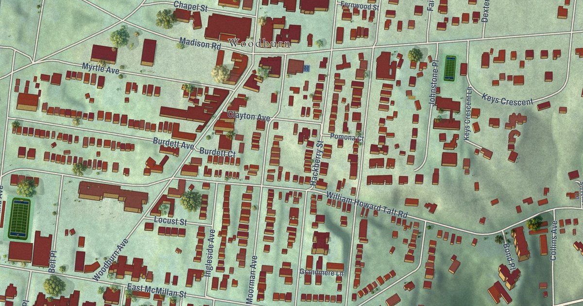
A detailed map of East Walnut Hills, Ohio, showing every building in its true location, the roads by name, and shaded topographical relief.
Read More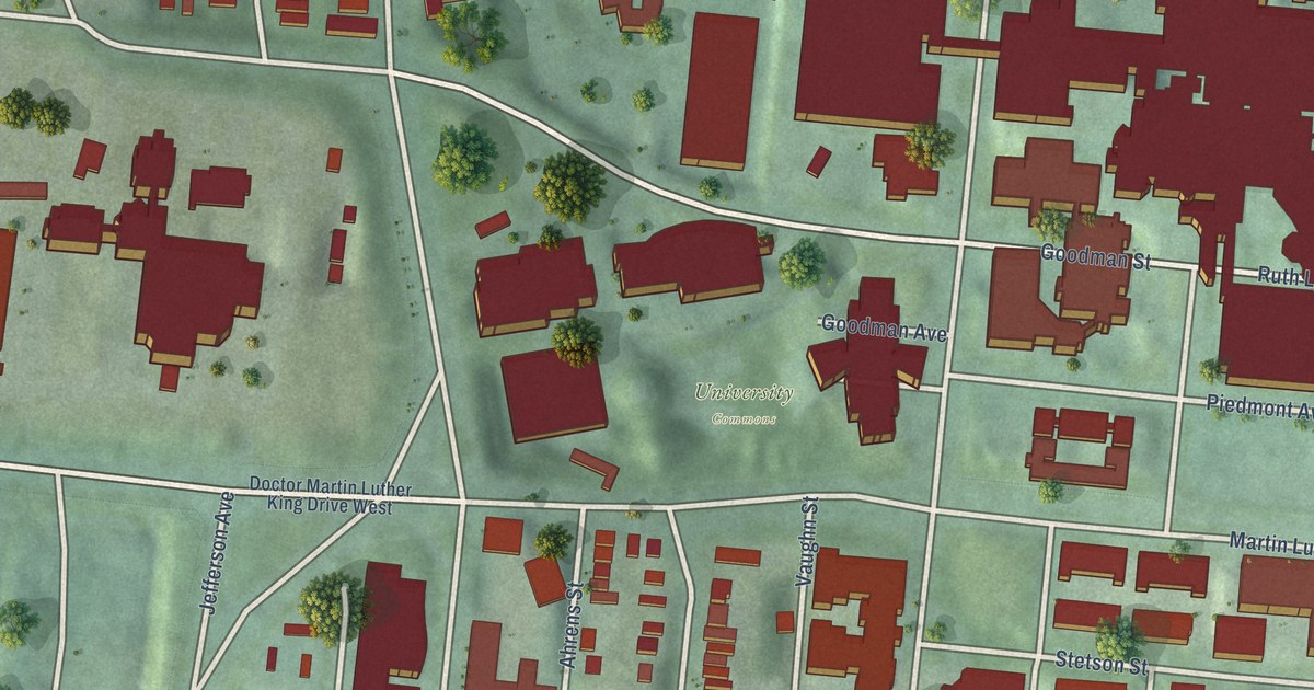
A detailed map of Corryville, Ohio, showing every building in its true location, the roads by name, and shaded topographical relief.
Read More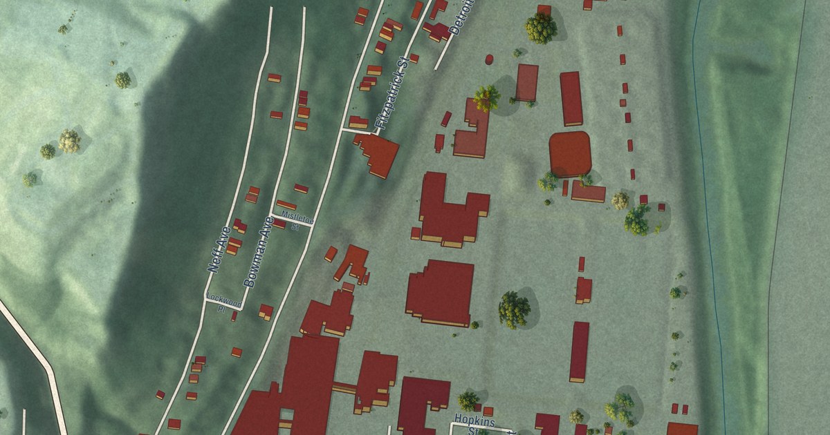
A detailed map of Lower Price Hill, Ohio, showing every building in its true location, the roads by name, and shaded topographical relief.
Read More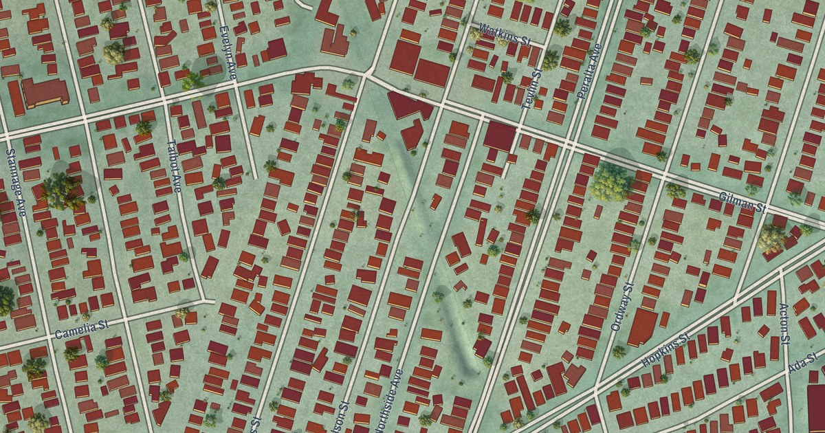
A detailed map of Westbrae, California, showing every building in its true location, the roads by name, and shaded topographical relief.
Read More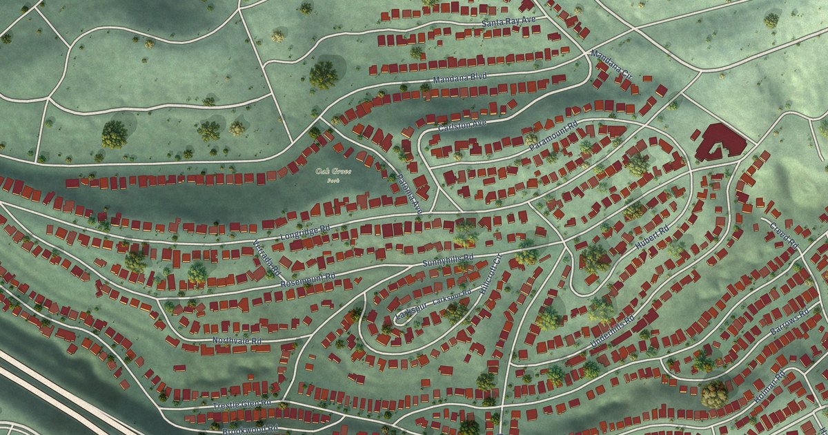
A detailed map of Trestle Glen, California, showing every building in its true location, the roads by name, and shaded topographical relief.
Read More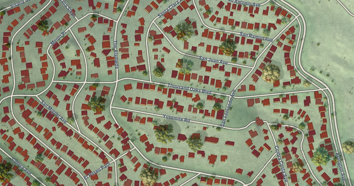
A detailed map of Thousand Oaks, California, showing every building in its true location, the roads by name, and shaded topographical relief.
Read More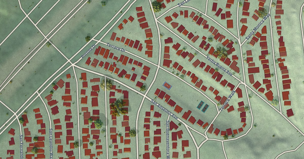
A detailed map of St. Francis Wood, California, showing every building in its true location, the roads by name, and shaded topographical relief.
Read More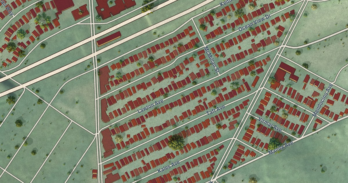
A detailed map of Rockridge, California, showing every building in its true location, the roads by name, and shaded topographical relief.
Read More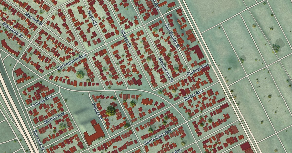
A detailed map of Richmond Annex, California, showing every building in its true location, the roads by name, and shaded topographical relief.
Read More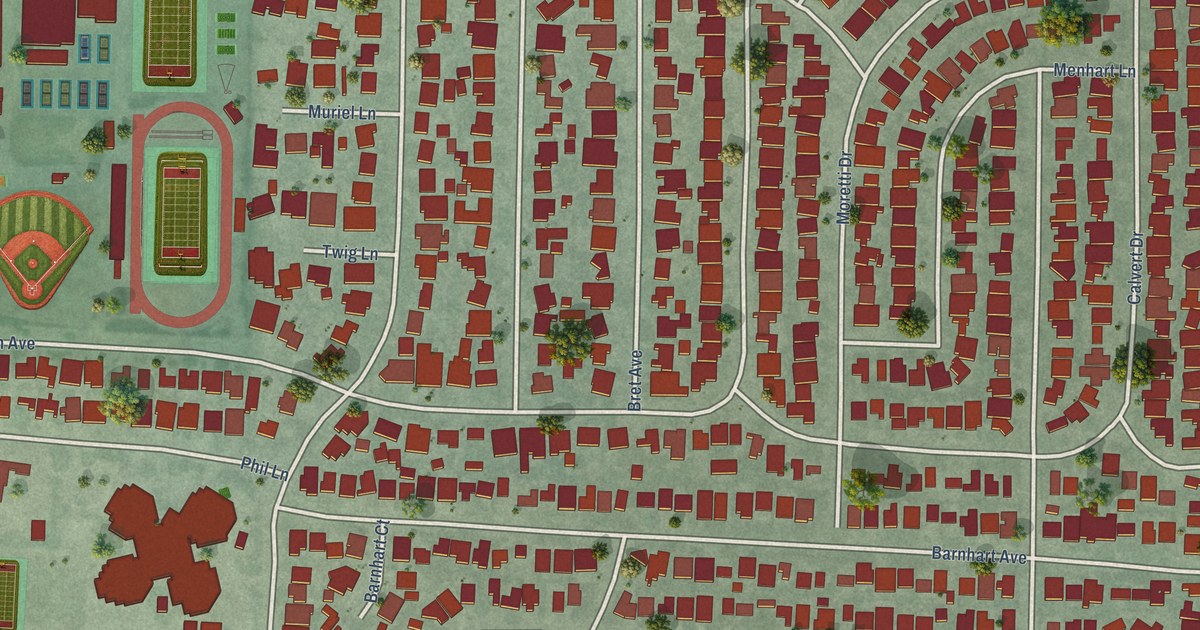
A detailed map of Rancho Rinconada, California, showing every building in its true location, the roads by name, and shaded topographical relief.
Read More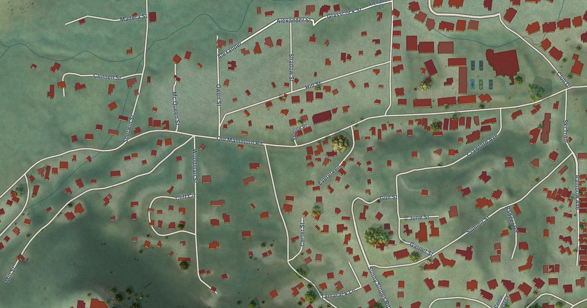
A detailed map of Old Mammoth, California, showing every building in its true location, the roads by name, and shaded topographical relief.
Read More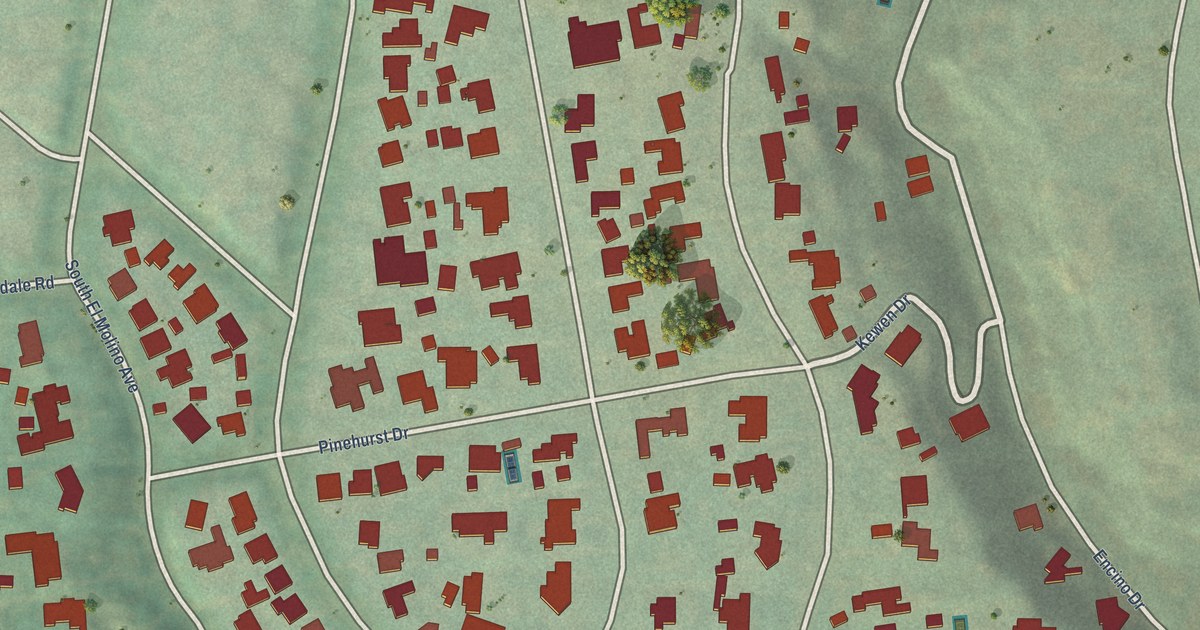
A detailed map of Oak Knoll, California, showing every building in its true location, the roads by name, and shaded topographical relief.
Read More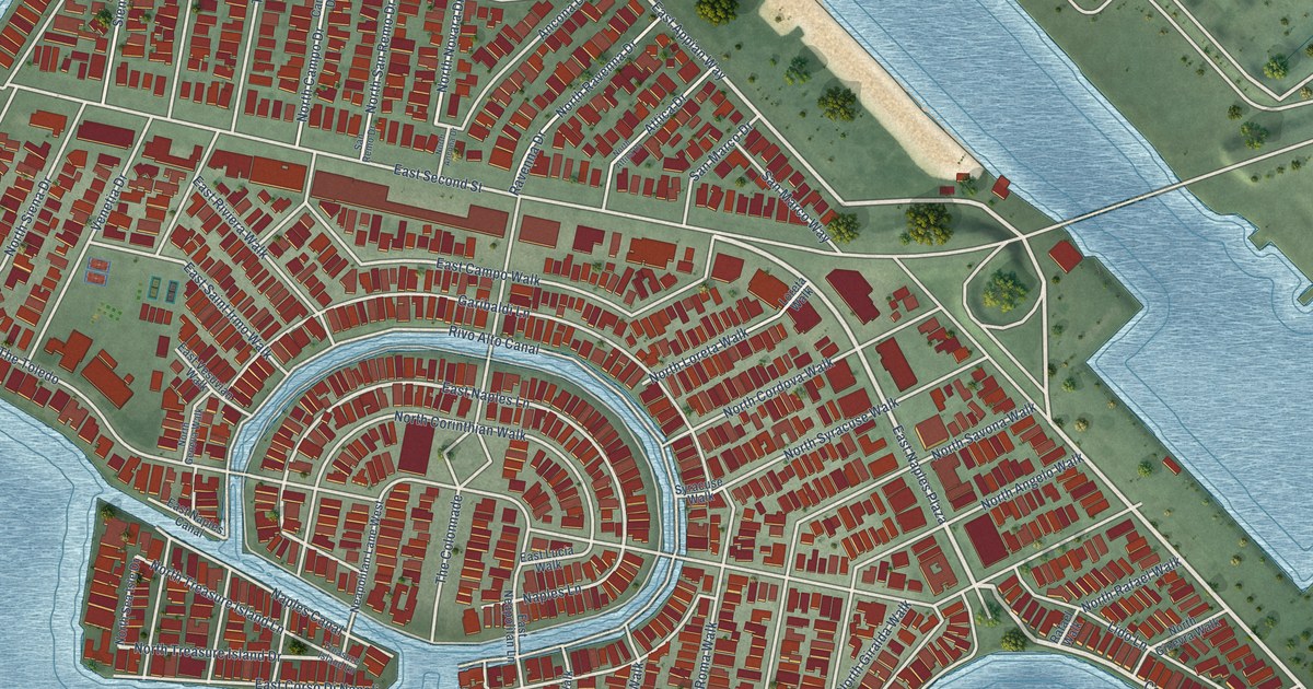
A detailed map of Naples, California, showing every building in its true location, the roads by name, and shaded topographical relief.
Read More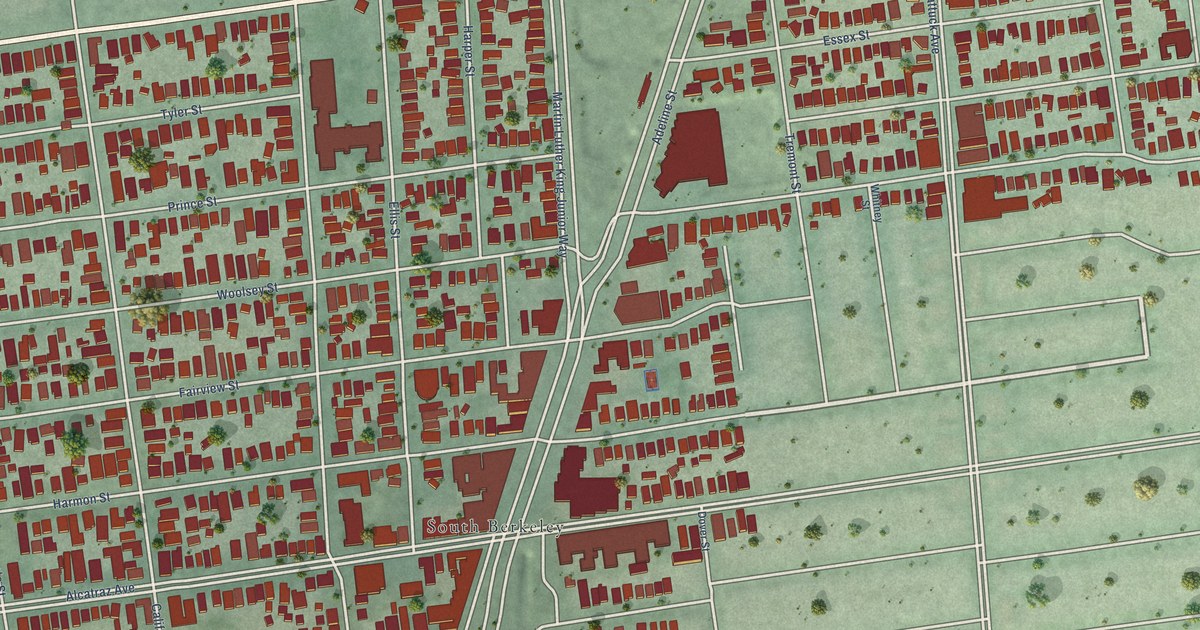
A detailed map of Lorin, California, showing every building in its true location, the roads by name, and shaded topographical relief.
Read More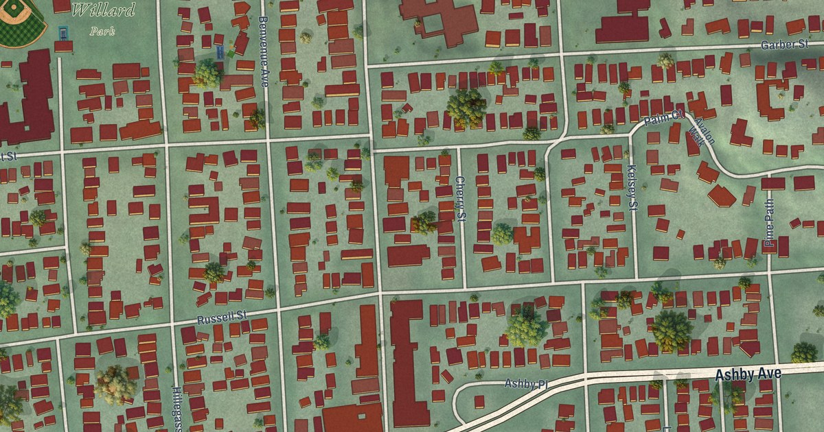
A detailed map of Elmwood, California, showing every building in its true location, the roads by name, and shaded topographical relief.
Read More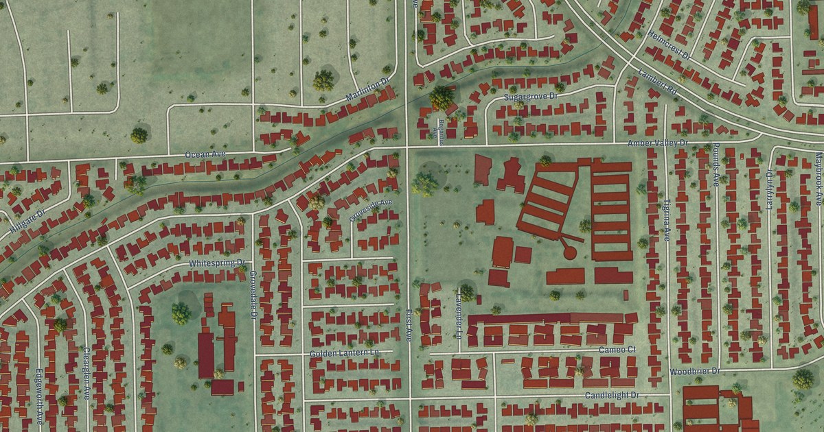
A detailed map of East La Mirada, California, showing every building in its true location, the roads by name, and shaded topographical relief.
Read More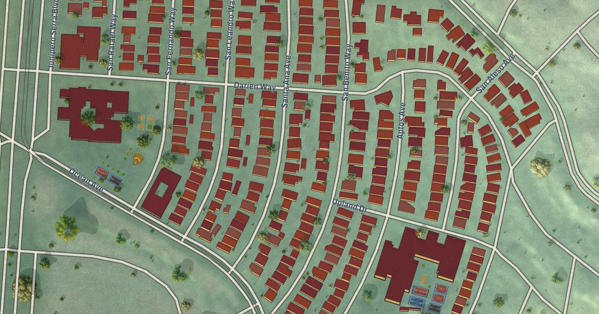
A detailed map of Balboa Terrace, California, showing every building in its true location, the roads by name, and shaded topographical relief.
Read More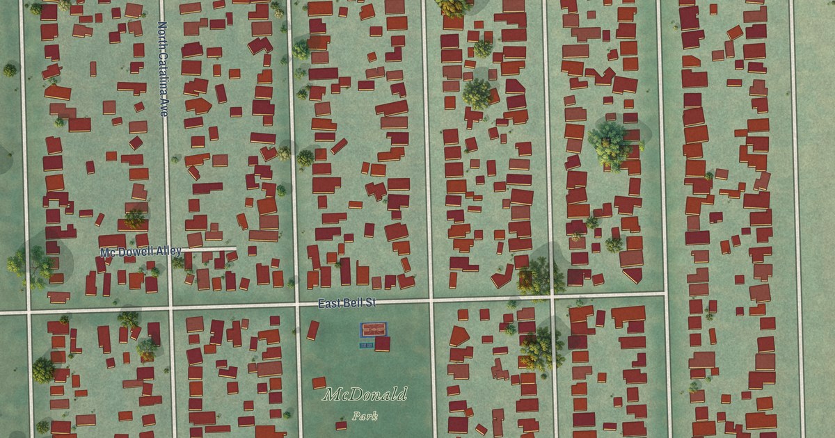
A detailed map of Bungalow Heaven, California, showing every building in its true location, the roads by name, and shaded topographical relief.
Read More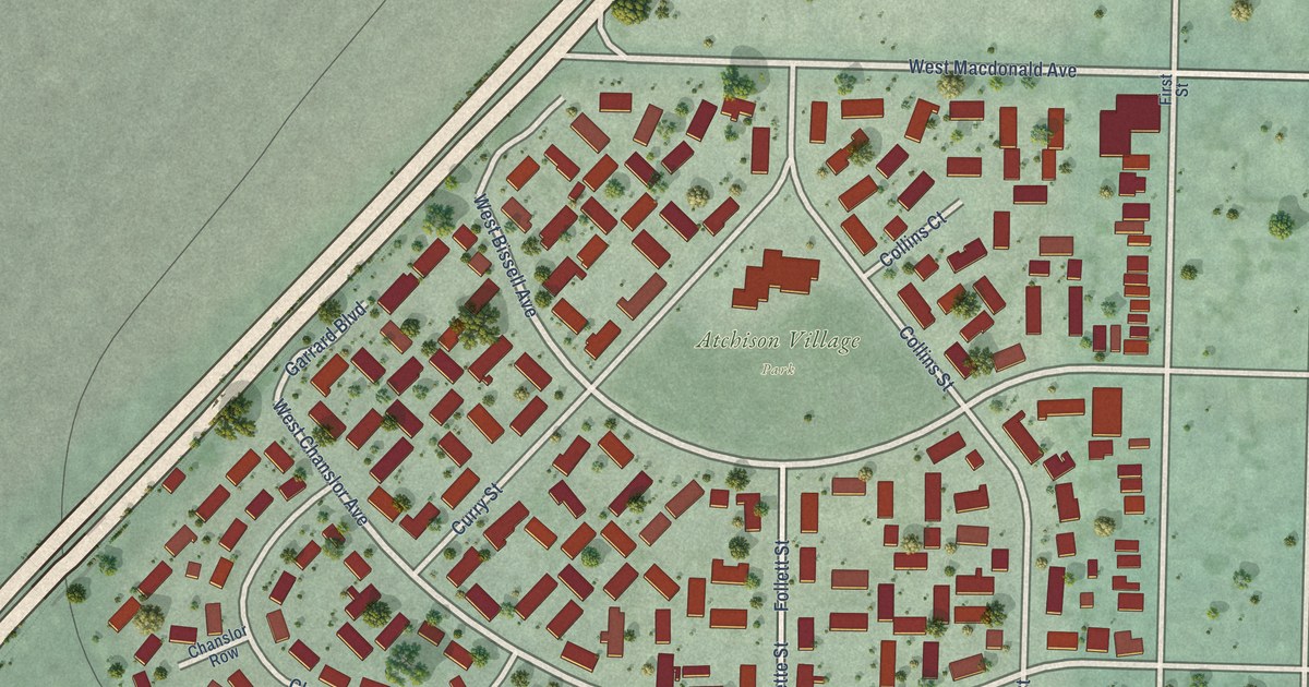
A detailed map of Atchison Village, California, showing every building in its true location, the roads by name, and shaded topographical relief.
Read More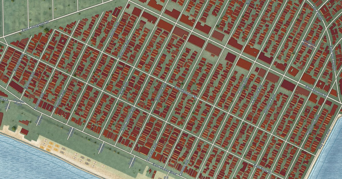
A detailed map of Belmont Shore, California, showing every building in its true location, the roads by name, and shaded topographical relief.
Read More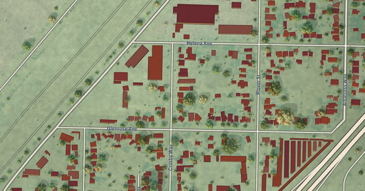
A detailed map of Ben Ali, California, showing every building in its true location, the roads by name, and shaded topographical relief.
Read More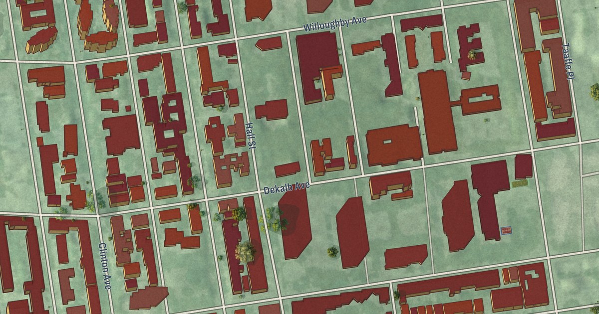
A detailed map of Clinton Hill, New York, showing every building in its true location, the roads by name, and shaded topographical relief.
Read More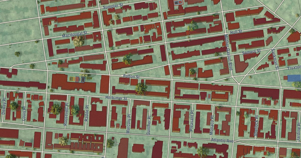
A detailed map of Ocean Hill, New York, showing every building in its true location, the roads by name, and shaded topographical relief.
Read More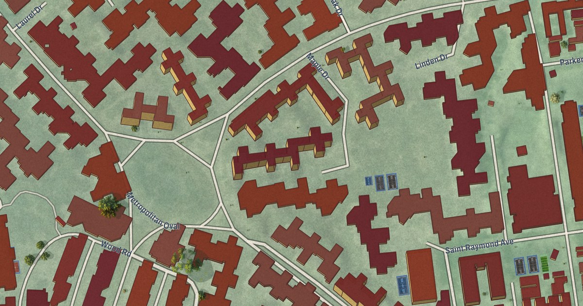
A detailed map of Parkchester, New York, showing every building in its true location, the roads by name, and shaded topographical relief.
Read More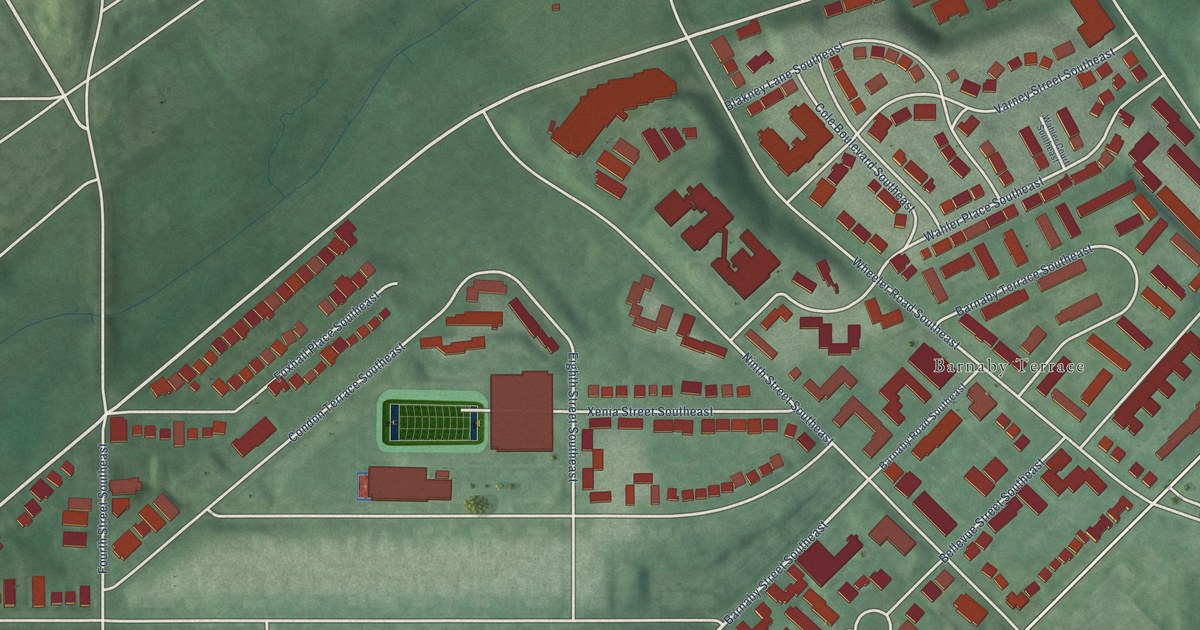
A detailed map of Washington Highlands, District of Columbia, showing every building in its true location, the roads by name, and shaded topographical relief.
Read More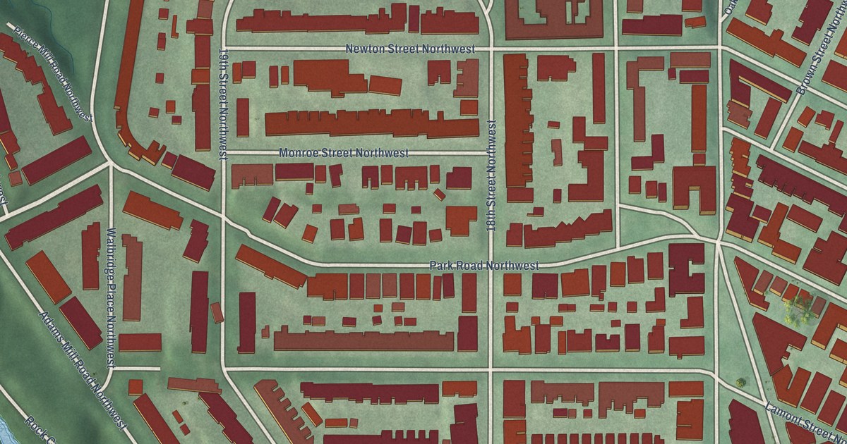
A detailed map of Mount Pleasant, District of Columbia, showing every building in its true location, the roads by name, and shaded topographical relief.
Read More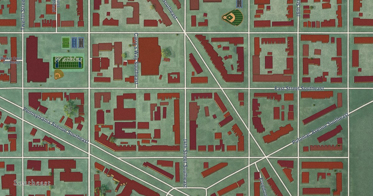
A detailed map of Hill East, District of Columbia, showing every building in its true location, the roads by name, and shaded topographical relief.
Read More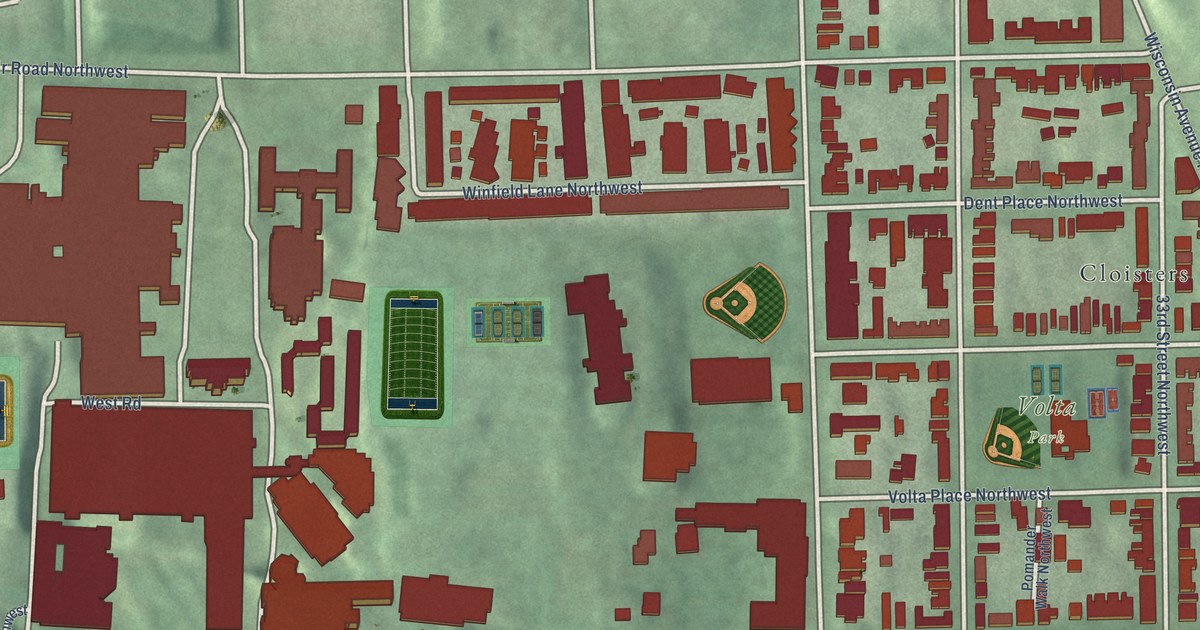
A detailed map of Georgetown, District of Columbia, showing every building in its true location, the roads by name, and shaded topographical relief.
Read More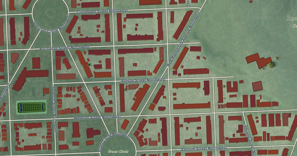
A detailed map of Petworth, District of Columbia, showing every building in its true location, the roads by name, and shaded topographical relief.
Read More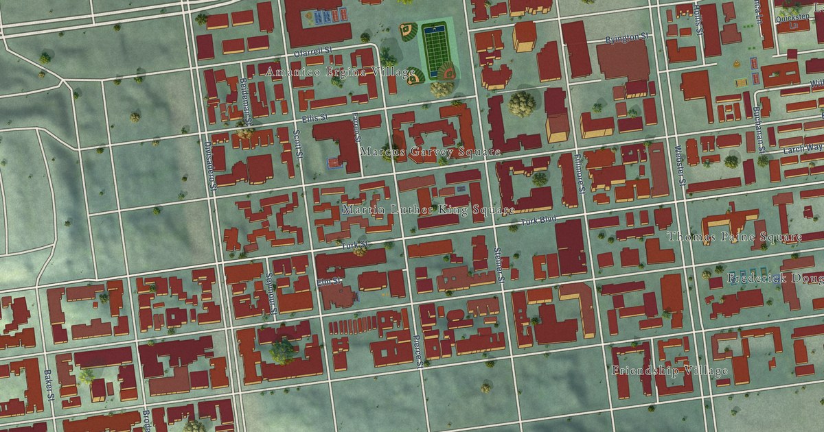
A detailed map of Western Addition, California, showing every building in its true location, the roads by name, and shaded topographical relief.
Read More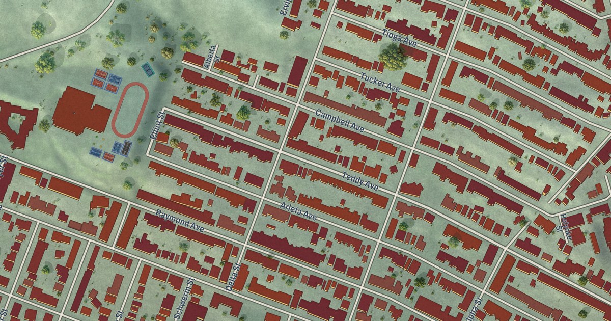
A detailed map of Visitacion Valley, California, showing every building in its true location, the roads by name, and shaded topographical relief.
Read More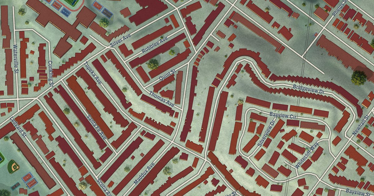
A detailed map of Silver Terrace, California, showing every building in its true location, the roads by name, and shaded topographical relief.
Read More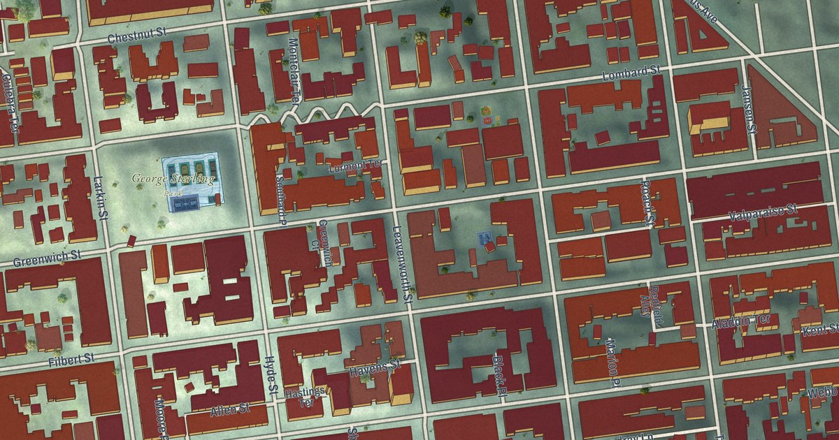
A detailed map of Russian Hill, California, showing every building in its true location, the roads by name, and shaded topographical relief.
Read More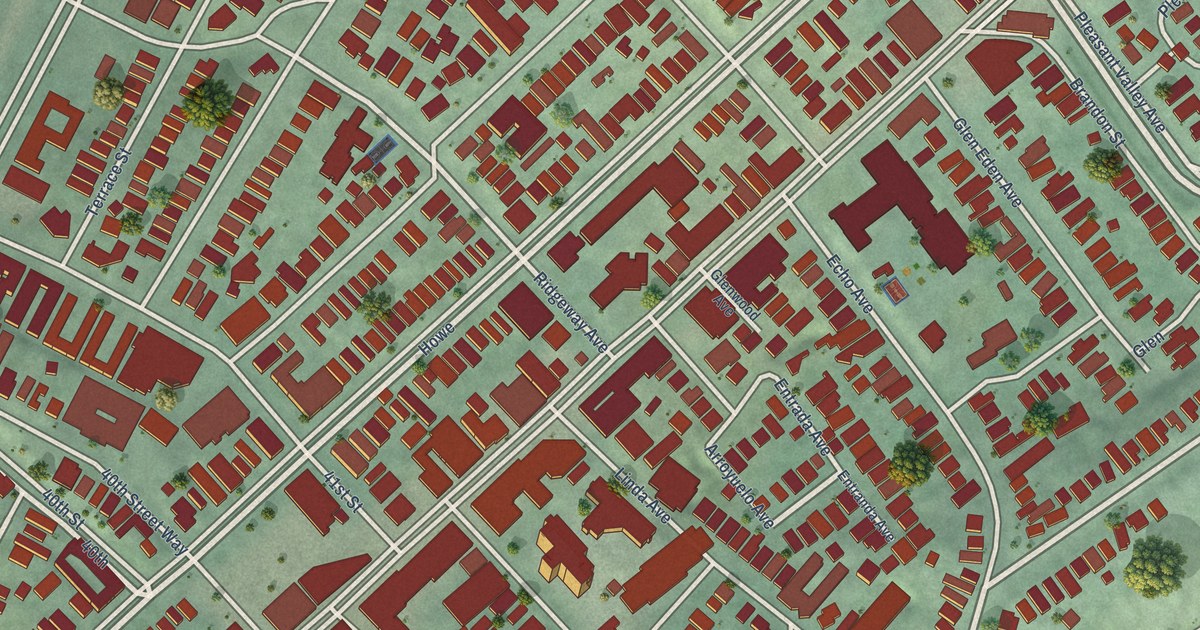
A detailed map of Piedmont Avenue, California, showing every building in its true location, the roads by name, and shaded topographical relief.
Read More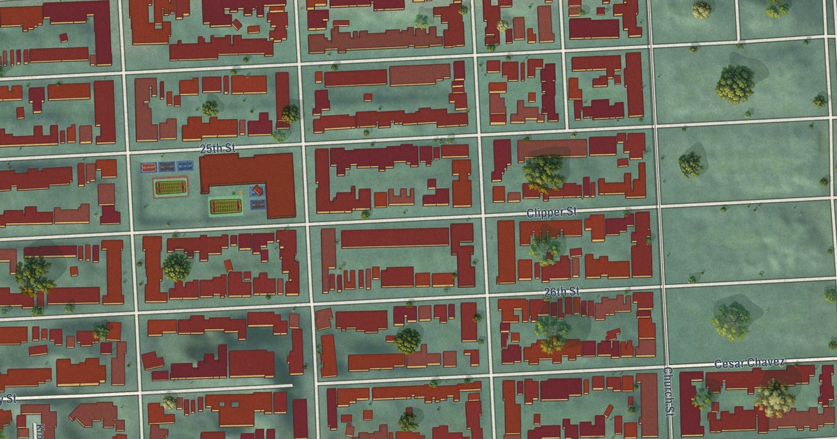
A detailed map of Noe Valley, California, showing every building in its true location, the roads by name, and shaded topographical relief.
Read More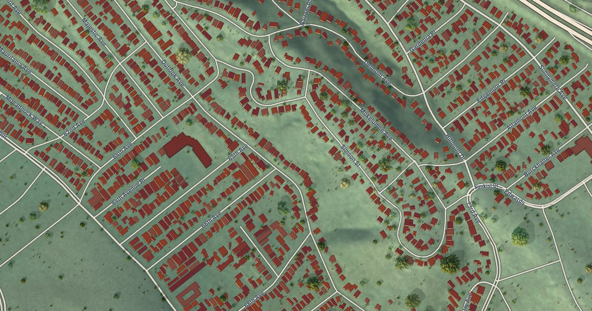
A detailed map of Millsmont, California, showing every building in its true location, the roads by name, and shaded topographical relief.
Read More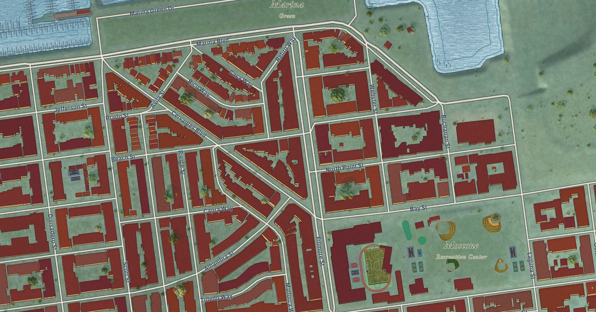
A detailed map of Marina District, California, showing every building in its true location, the roads by name, and shaded topographical relief.
Read More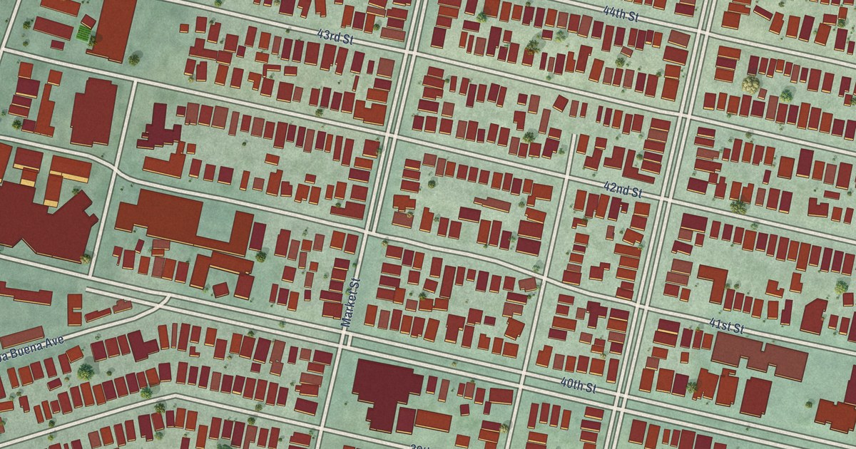
A detailed map of Longfellow, California, showing every building in its true location, the roads by name, and shaded topographical relief.
Read More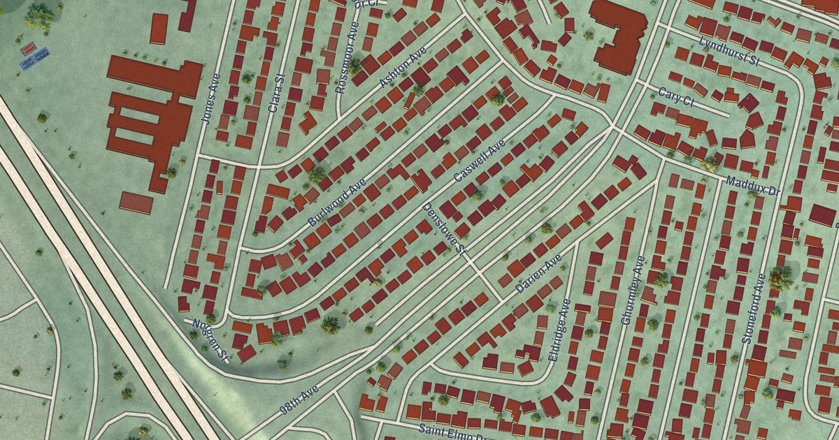
A detailed map of Brookfield Village, California, showing every building in its true location, the roads by name, and shaded topographical relief.
Read More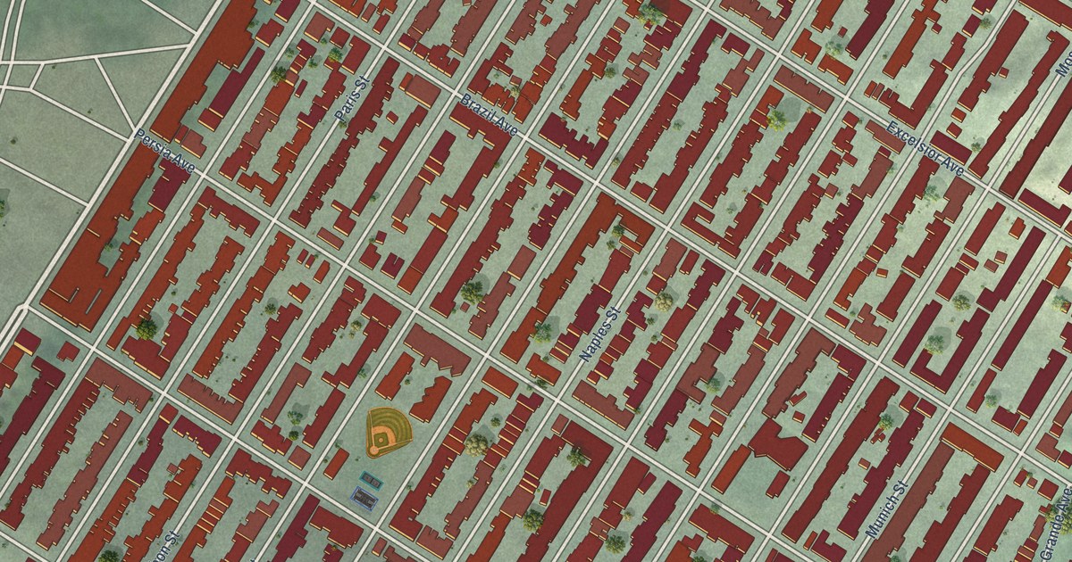
A detailed map of Excelsior, California, showing every building in its true location, the roads by name, and shaded topographical relief.
Read More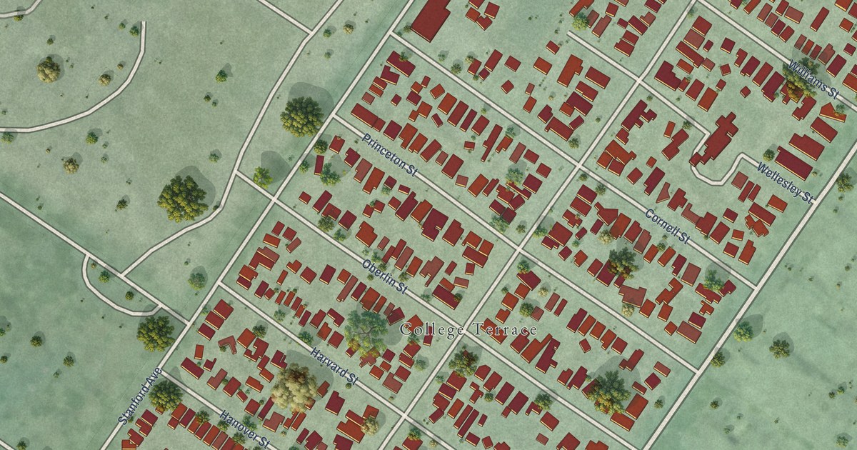
A detailed map of College_Terrace, California, showing every building in its true location, the roads by name, and shaded topographical relief.
Read More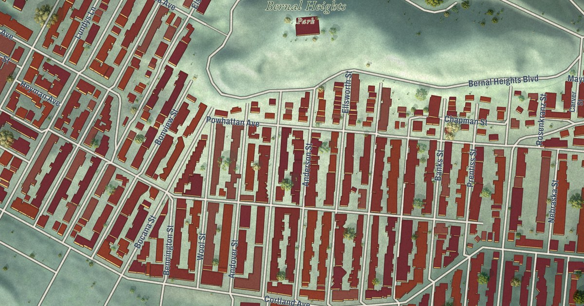
A detailed map of Bernal Heights, California, showing every building in its true location, the roads by name, and shaded topographical relief.
Read More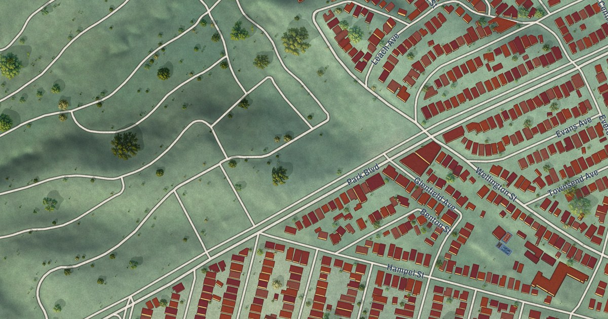
A detailed map of Glenview, California, showing every building in its true location, the roads by name, and shaded topographical relief.
Read More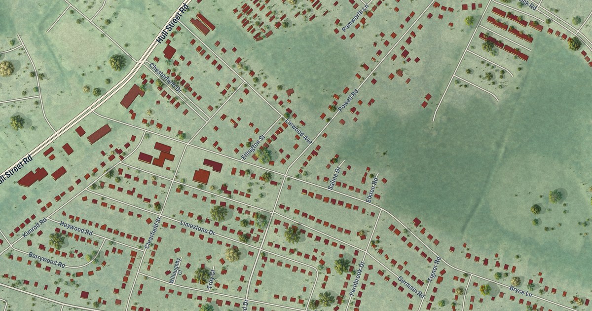
A detailed map of South Garden, Virginia, showing every building in its true location, the roads by name, and shaded topographical relief.
Read More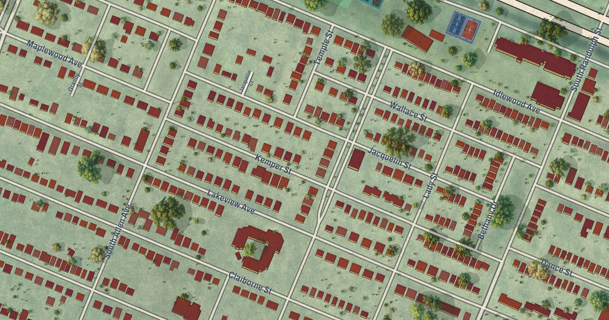
A detailed map of Randolph, Virginia, showing every building in its true location, the roads by name, and shaded topographical relief.
Read More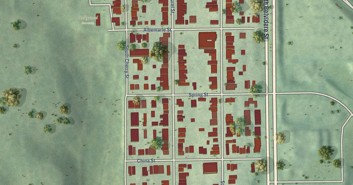
A detailed map of Oregon Hill, Virginia, showing every building in its true location, the roads by name, and shaded topographical relief.
Read More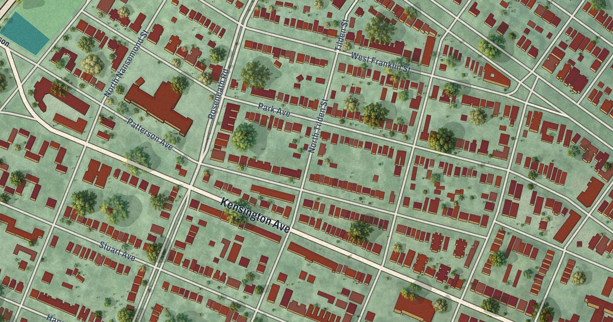
A detailed map of Museum District, Virginia, showing every building in its true location, the roads by name, and shaded topographical relief.
Read More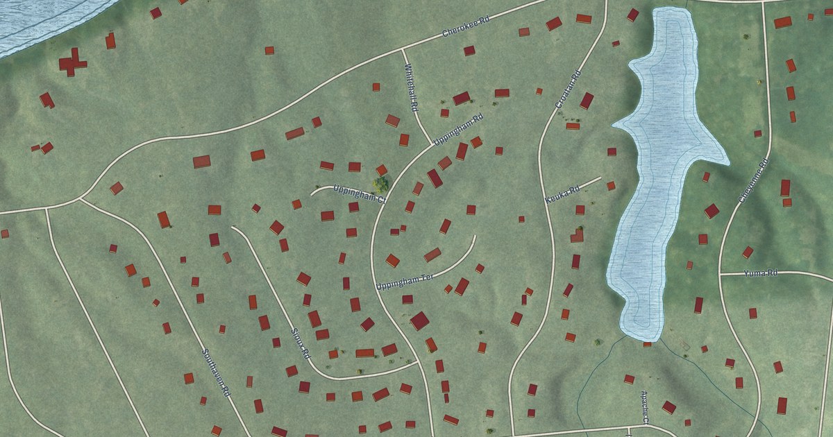
A detailed map of Huguenot Farms, Virginia, showing every building in its true location, the roads by name, and shaded topographical relief.
Read More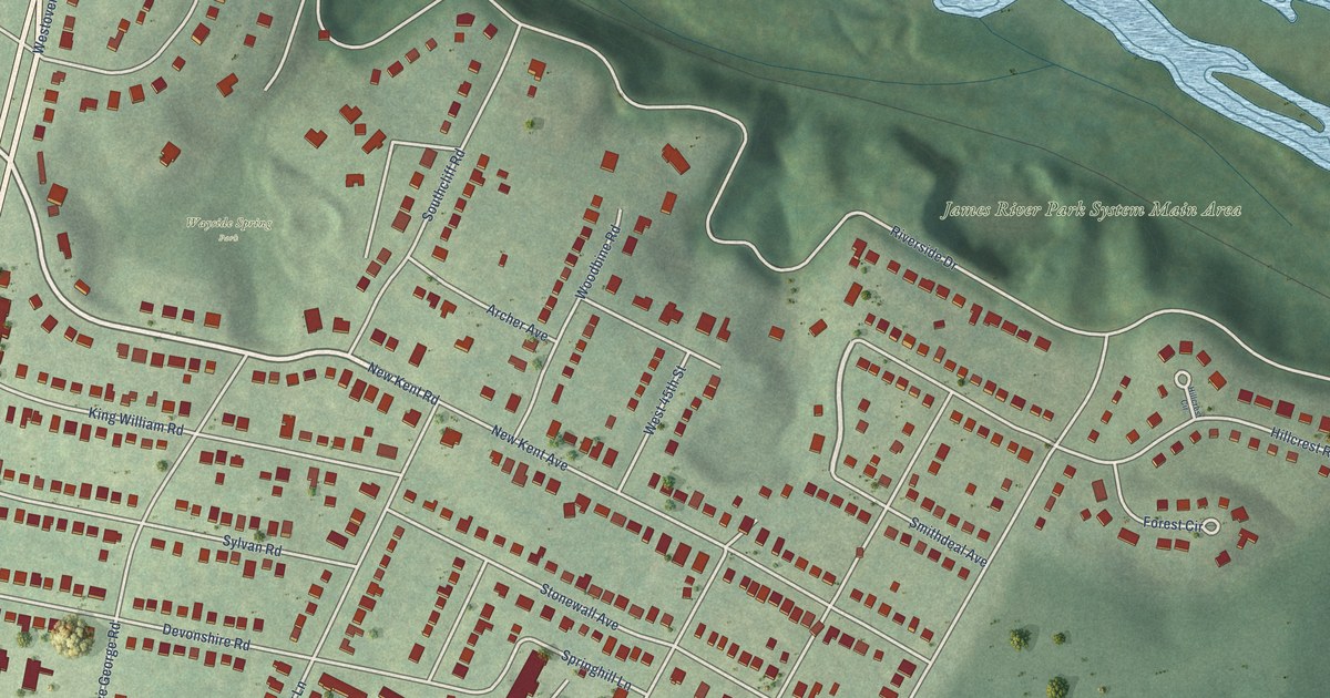
A detailed map of Forest Hill, Virginia, showing every building in its true location, the roads by name, and shaded topographical relief.
Read More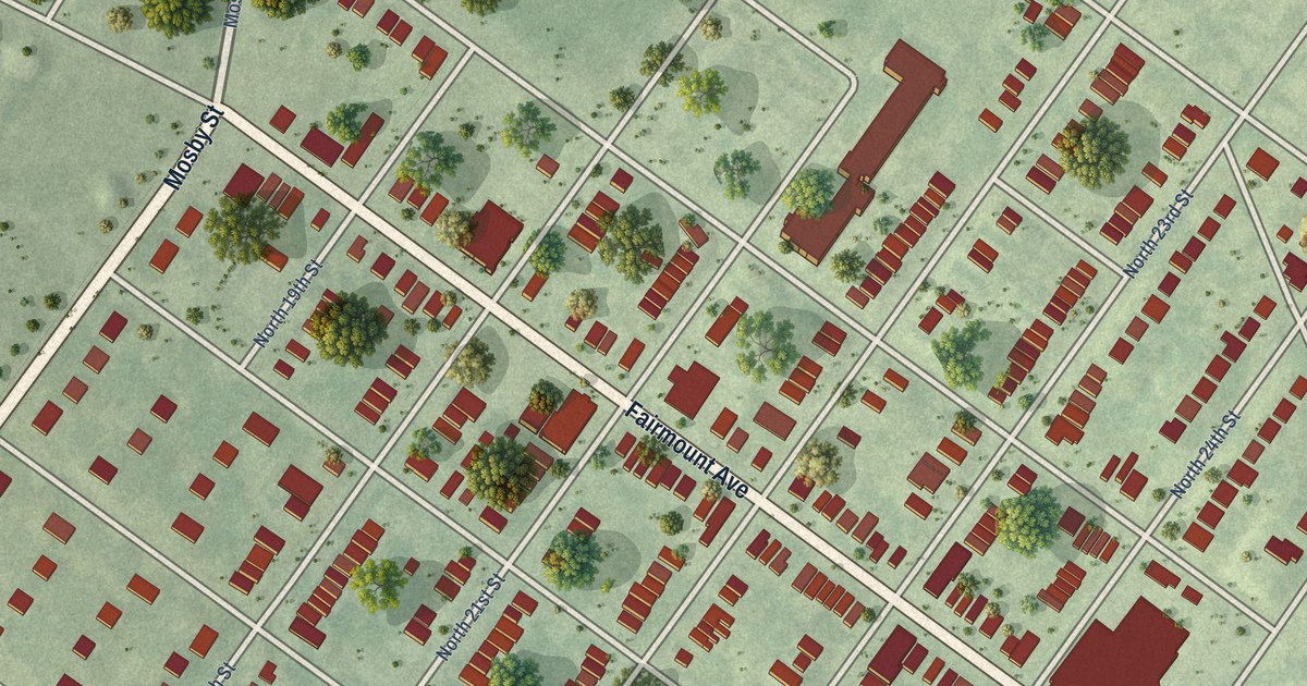
A detailed map of Fairmount, Virginia, showing every building in its true location, the roads by name, and shaded topographical relief.
Read More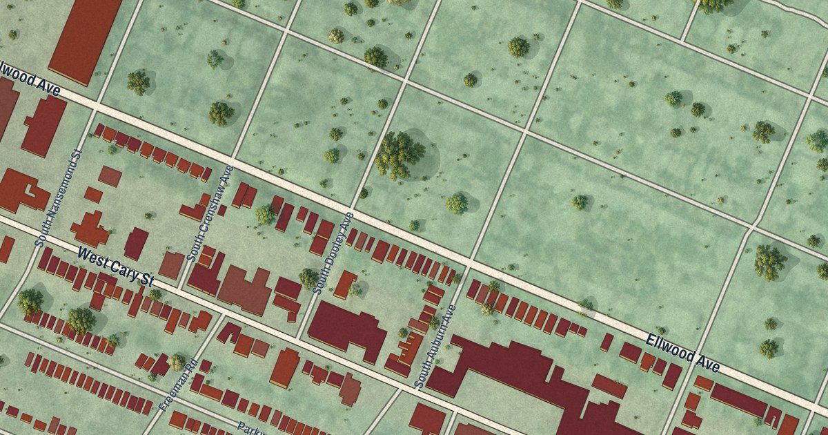
A detailed map of Carytown, Virginia, showing every building in its true location, the roads by name, and shaded topographical relief.
Read More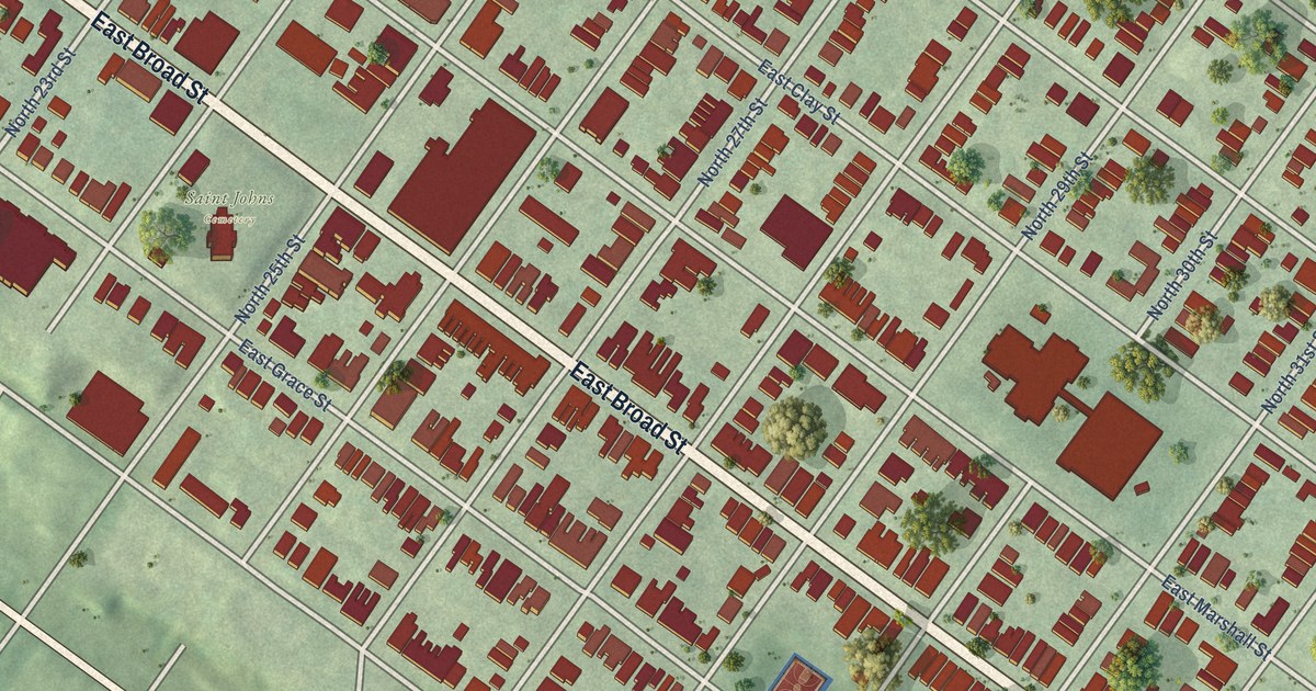
A detailed map of Church Hill, Virginia, showing every building in its true location, the roads by name, and shaded topographical relief.
Read More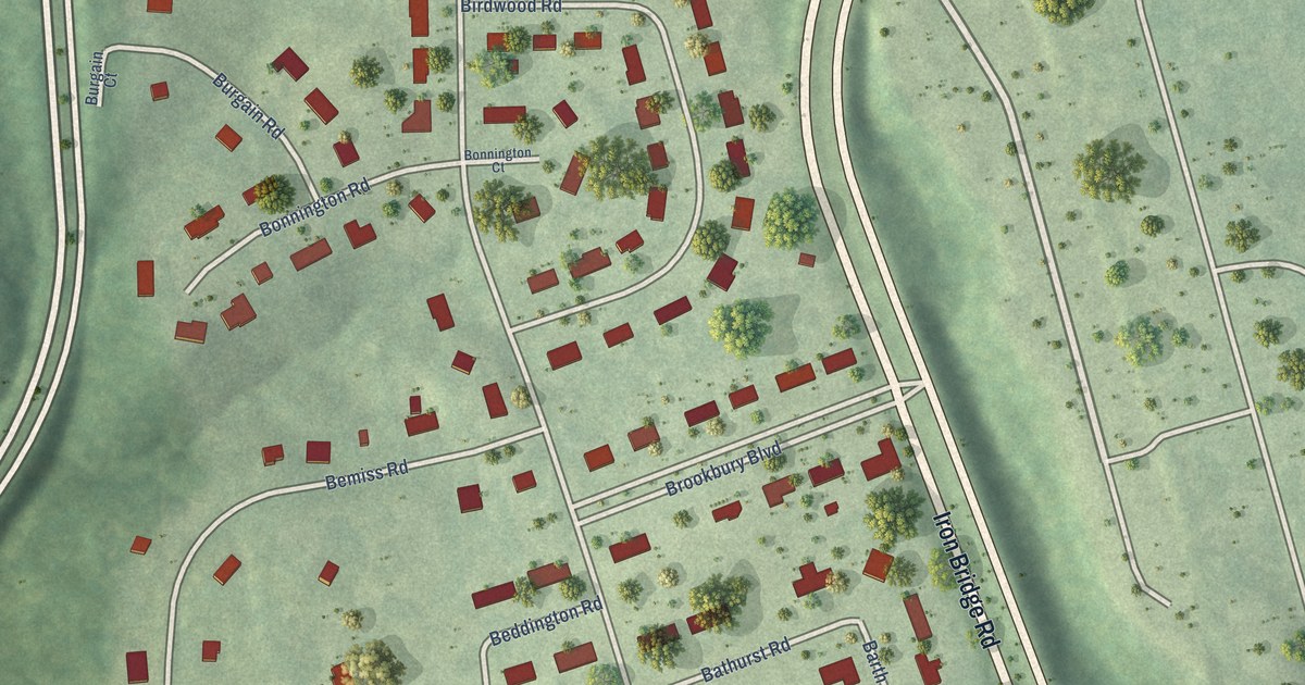
A detailed map of Brookbury, Virginia, showing every building in its true location, the roads by name, and shaded topographical relief.
Read More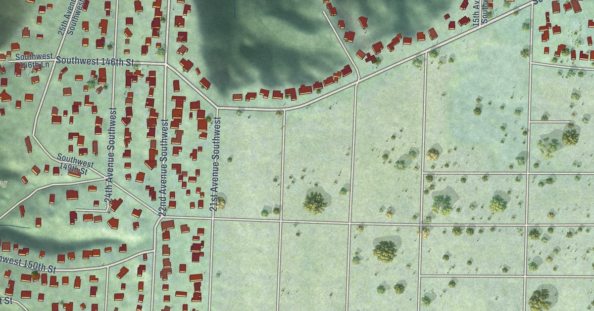
A detailed map of Seahurst, Washington, showing every building in its true location, the roads by name, and shaded topographical relief.
Read More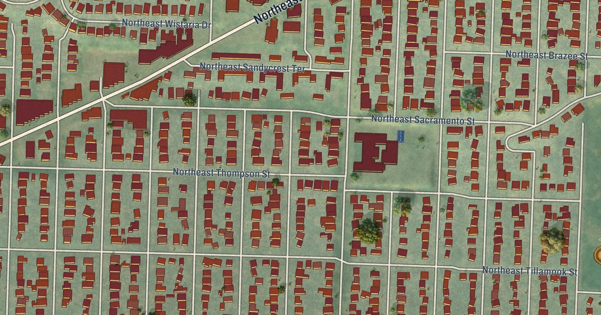
A detailed map of Rose City Park, Oregon, showing every building in its true location, the roads by name, and shaded topographical relief.
Read More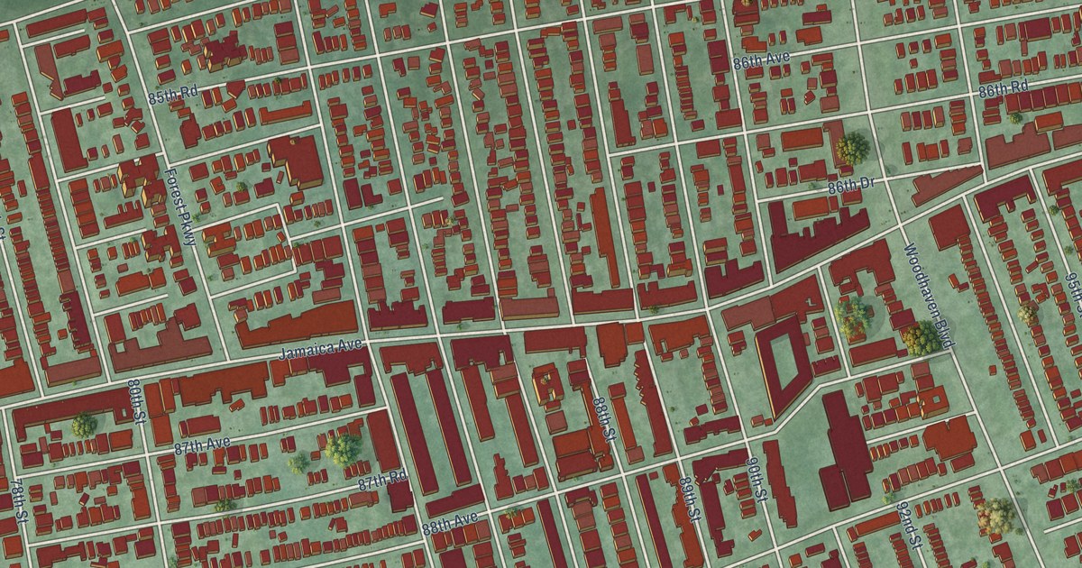
A detailed map of Woodhaven, New York, showing every building in its true location, the roads by name, and shaded topographical relief.
Read More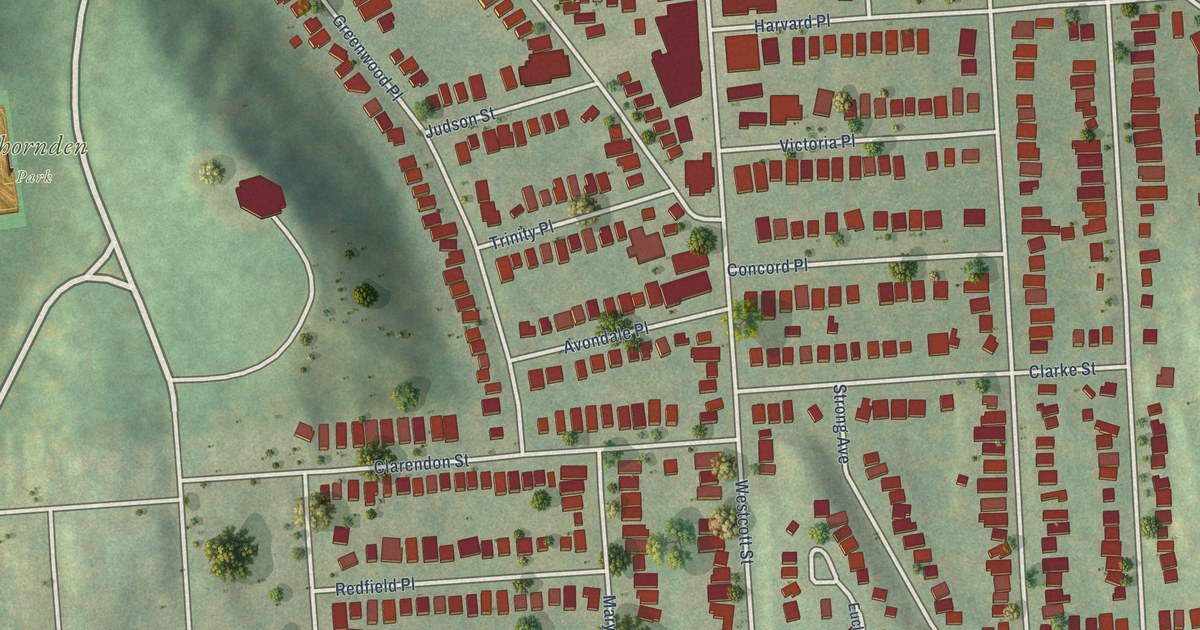
A detailed map of Westcott, New York, showing every building in its true location, the roads by name, and shaded topographical relief.
Read More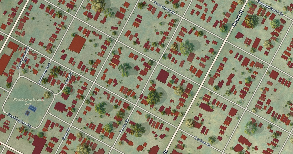
A detailed map of Washington Square, New York, showing every building in its true location, the roads by name, and shaded topographical relief.
Read More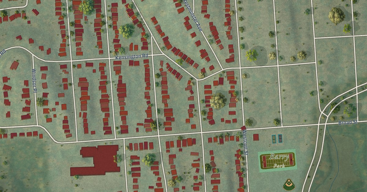
A detailed map of University Neighborhood, New York, showing every building in its true location, the roads by name, and shaded topographical relief.
Read More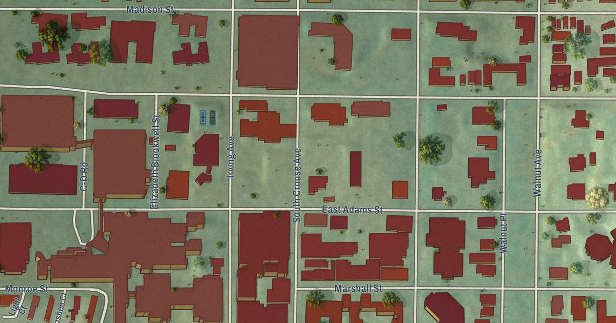
A detailed map of University Hill, New York, showing every building in its true location, the roads by name, and shaded topographical relief.
Read More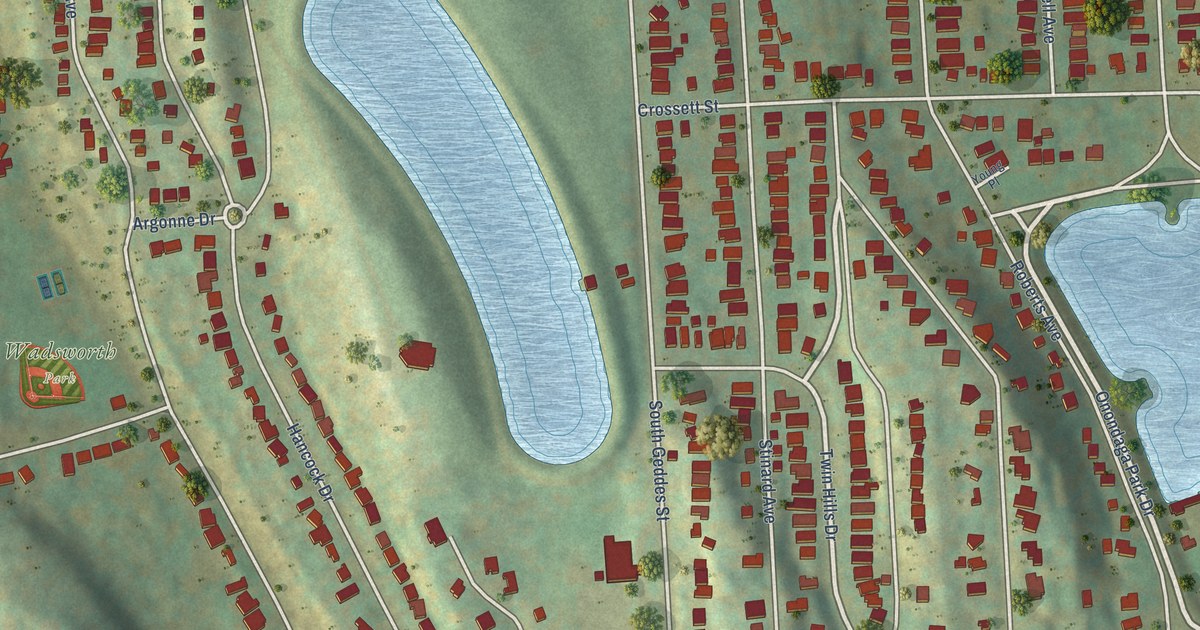
A detailed map of Strathmore, New York, showing every building in its true location, the roads by name, and shaded topographical relief.
Read More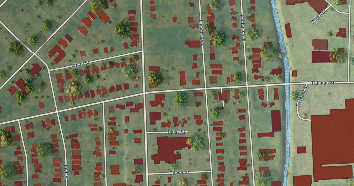
A detailed map of Southwest, New York, showing every building in its true location, the roads by name, and shaded topographical relief.
Read More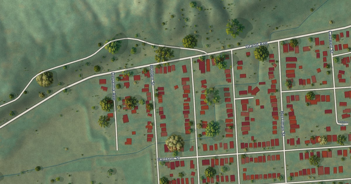
A detailed map of Skunk City, New York, showing every building in its true location, the roads by name, and shaded topographical relief.
Read More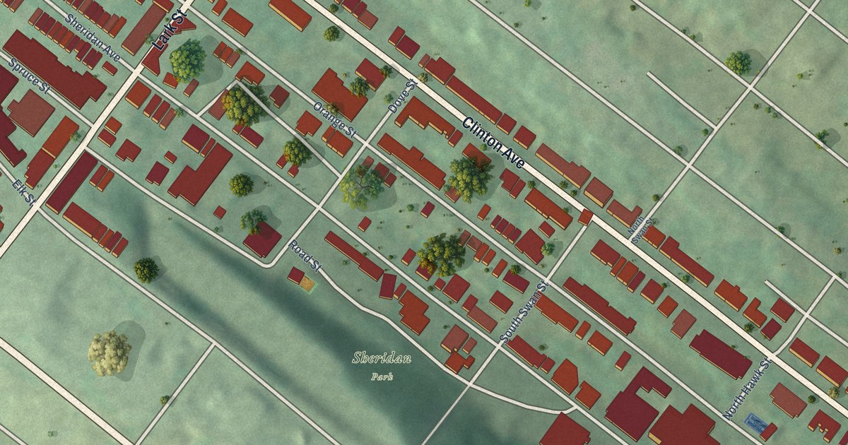
A detailed map of Sheridan Hollow, New York, showing every building in its true location, the roads by name, and shaded topographical relief.
Read More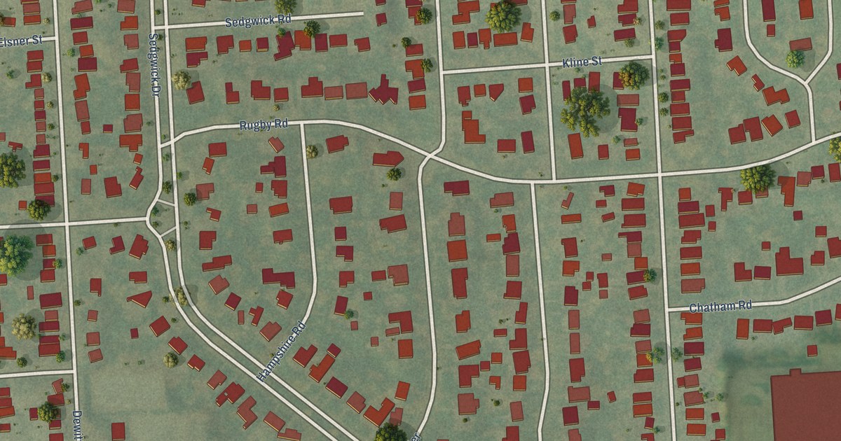
A detailed map of Sedgwick, New York, showing every building in its true location, the roads by name, and shaded topographical relief.
Read More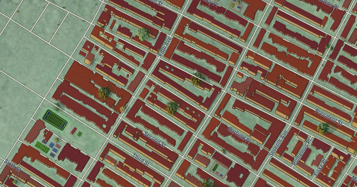
A detailed map of Park Slope, New York, showing every building in its true location, the roads by name, and shaded topographical relief.
Read More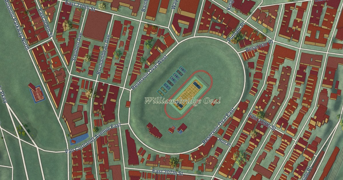
A detailed map of Norwood, New York, showing every building in its true location, the roads by name, and shaded topographical relief.
Read More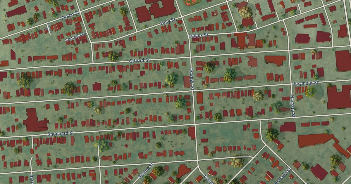
A detailed map of Near Westside, New York, showing every building in its true location, the roads by name, and shaded topographical relief.
Read More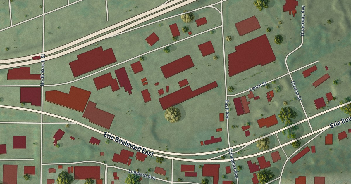
A detailed map of Near Eastside, New York, showing every building in its true location, the roads by name, and shaded topographical relief.
Read More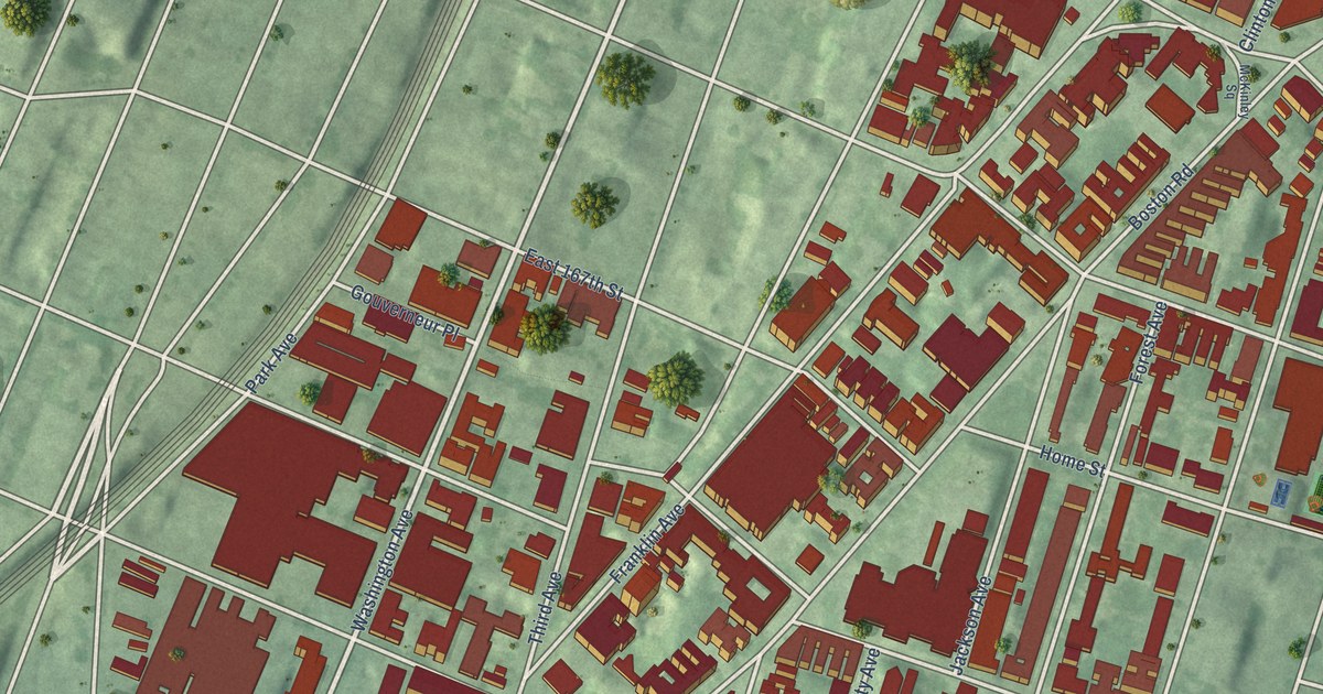
A detailed map of Morrisania, New York, showing every building in its true location, the roads by name, and shaded topographical relief.
Read More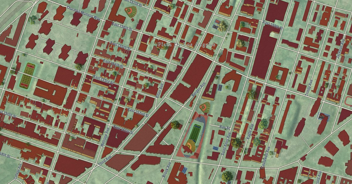
A detailed map of Melrose, New York, showing every building in its true location, the roads by name, and shaded topographical relief.
Read More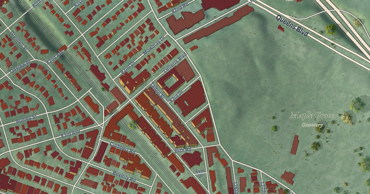
A detailed map of Kew Gardens, New York, showing every building in its true location, the roads by name, and shaded topographical relief.
Read More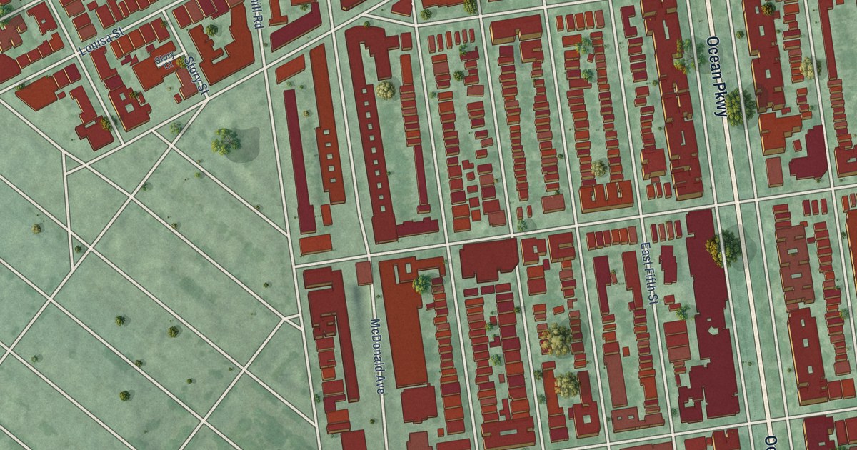
A detailed map of Kensington, New York, showing every building in its true location, the roads by name, and shaded topographical relief.
Read More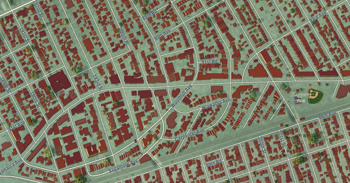
A detailed map of Hollis, New York, showing every building in its true location, the roads by name, and shaded topographical relief.
Read More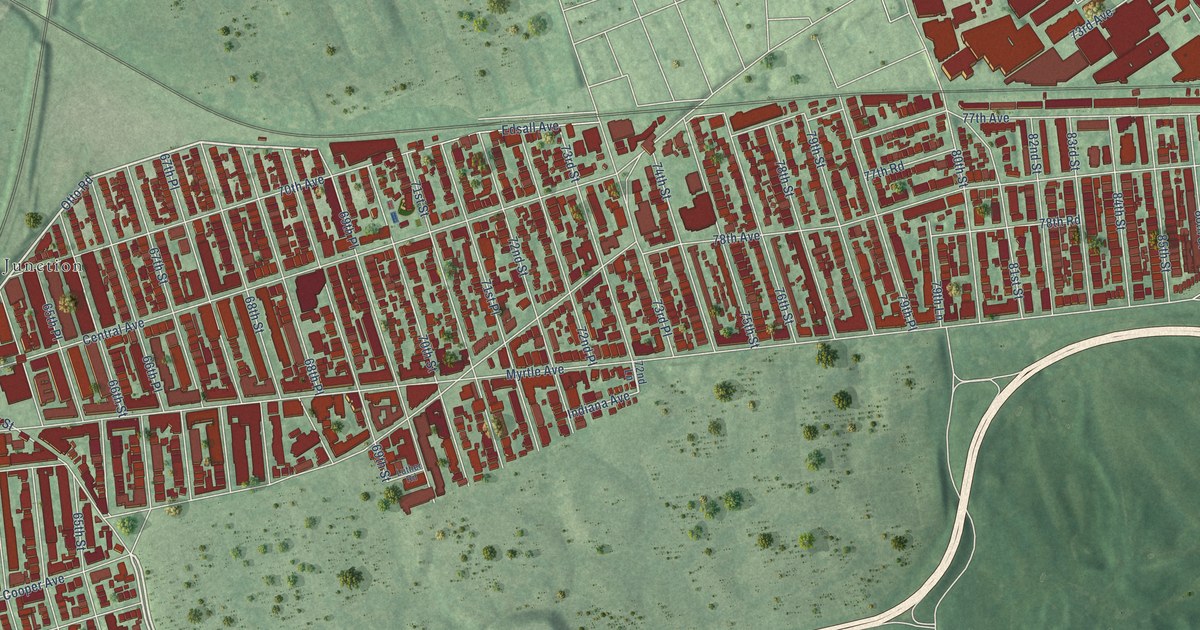
A detailed map of Glendale, New York, showing every building in its true location, the roads by name, and shaded topographical relief.
Read More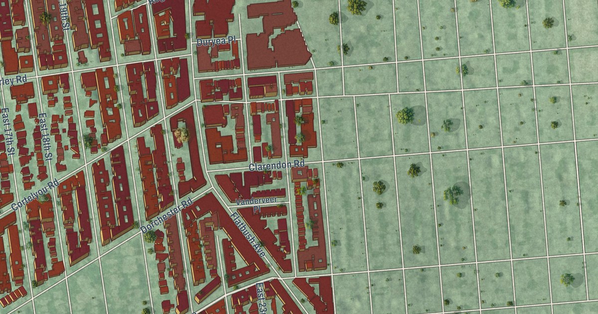
A detailed map of Flatbush, New York, showing every building in its true location, the roads by name, and shaded topographical relief.
Read More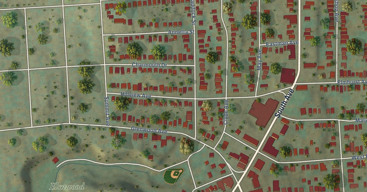
A detailed map of Elmwood, New York, showing every building in its true location, the roads by name, and shaded topographical relief.
Read More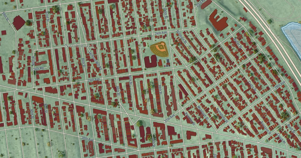
A detailed map of East Elmhurst, New York, showing every building in its true location, the roads by name, and shaded topographical relief.
Read More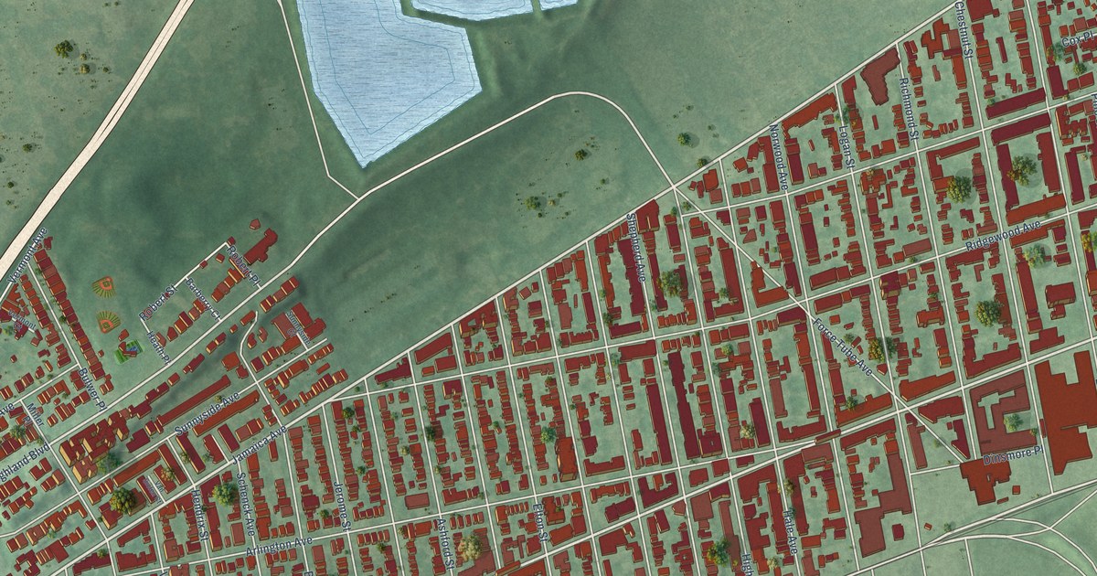
A detailed map of Cypress Hills, New York, showing every building in its true location, the roads by name, and shaded topographical relief.
Read More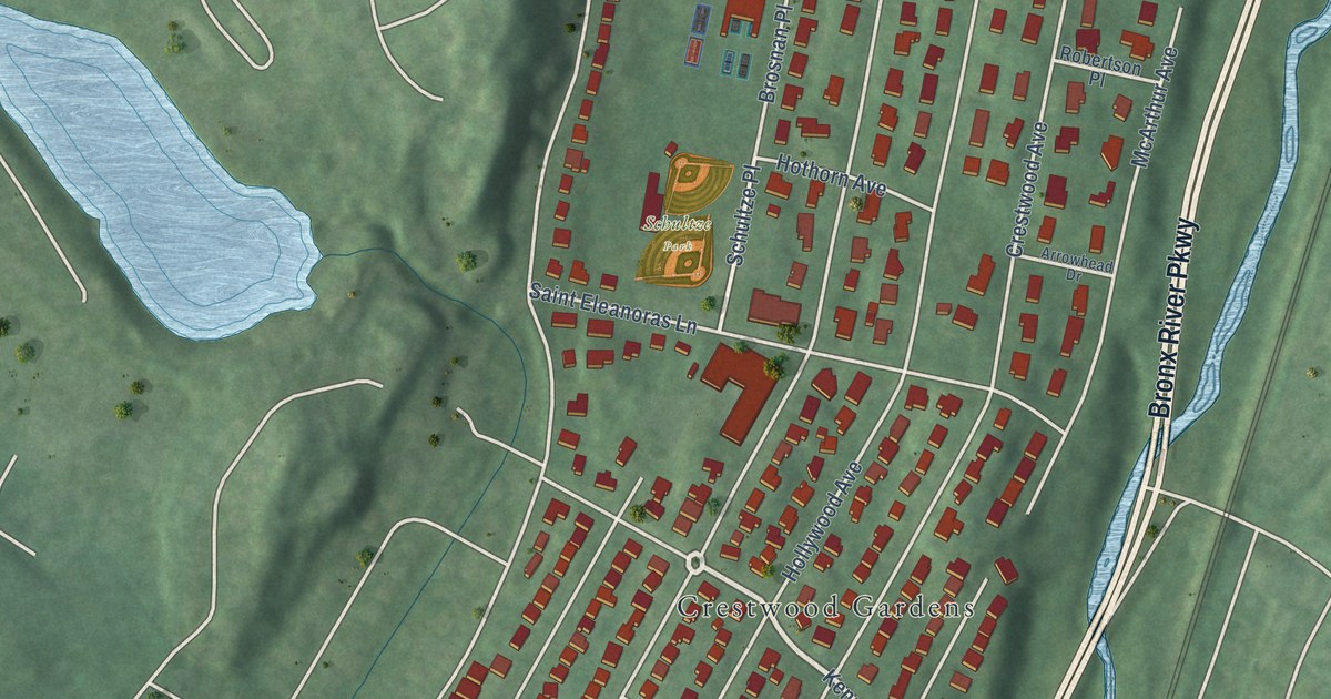
A detailed map of Crestwood, New York, showing every building in its true location, the roads by name, and shaded topographical relief.
Read More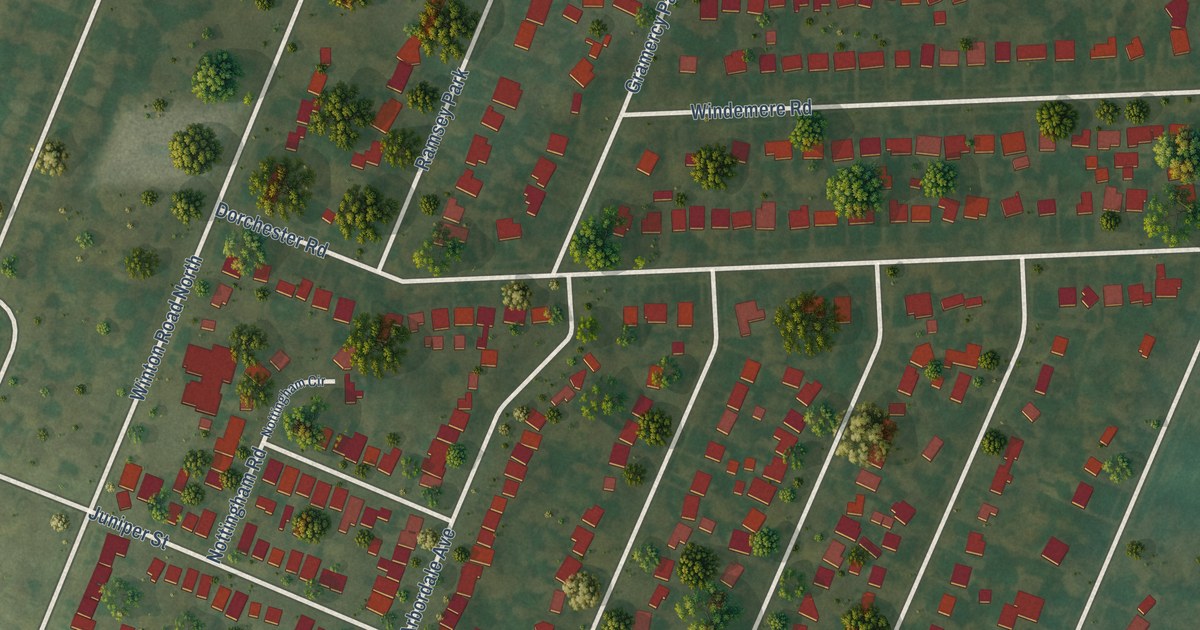
A detailed map of Browncroft, New York, showing every building in its true location, the roads by name, and shaded topographical relief.
Read More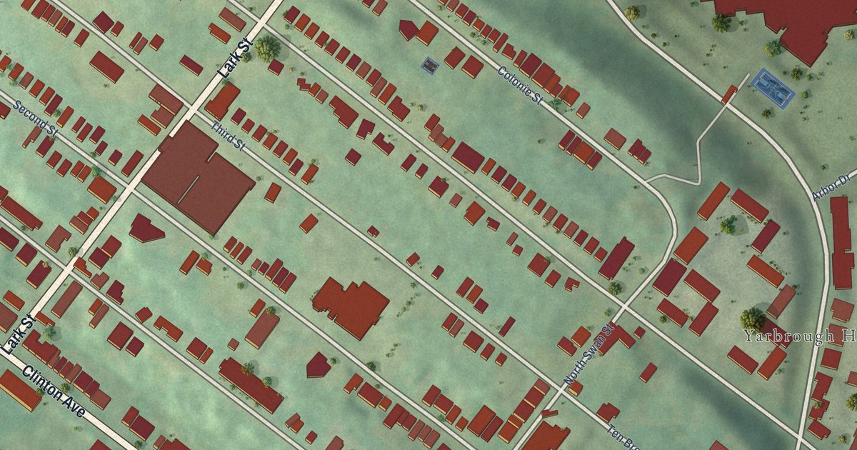
A detailed map of Arbor Hill, New York, showing every building in its true location, the roads by name, and shaded topographical relief.
Read More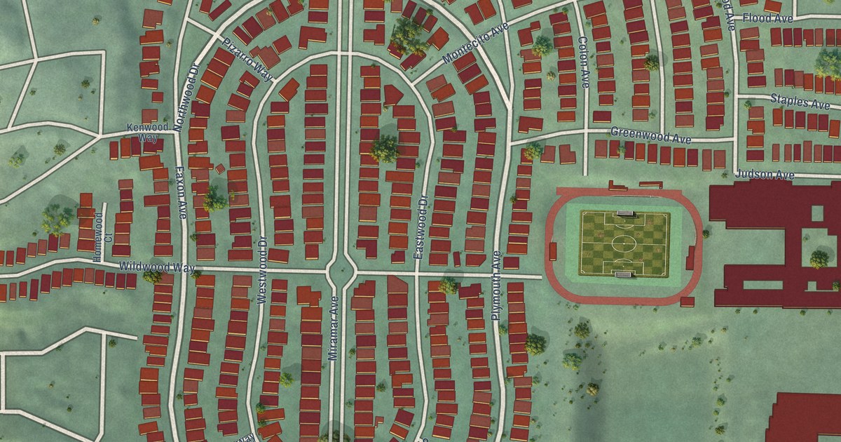
A detailed map of Westwood Park, California, showing every building in its true location, the roads by name, and shaded topographical relief.
Read More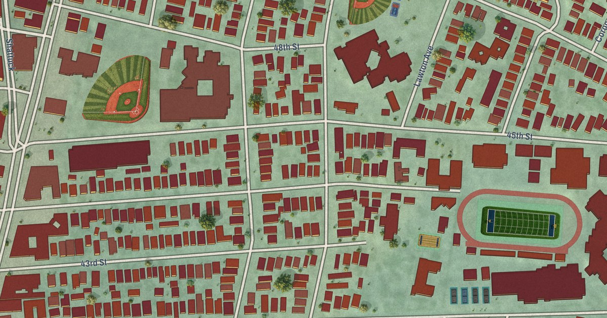
A detailed map of Temescal, California, showing every building in its true location, the roads by name, and shaded topographical relief.
Read More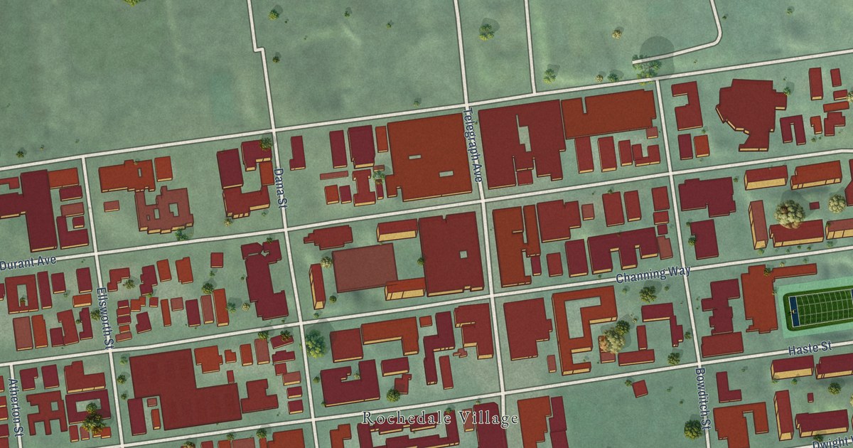
A detailed map of Southside, California, showing every building in its true location, the roads by name, and shaded topographical relief.
Read More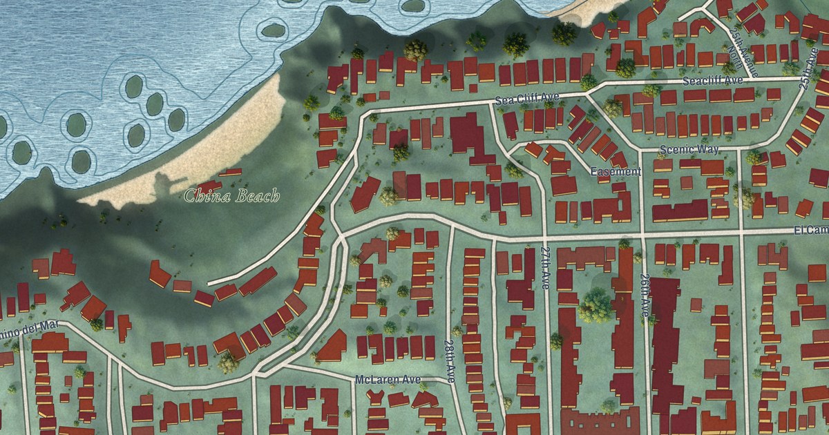
A detailed map of Seacliff, California, showing every building in its true location, the roads by name, and shaded topographical relief.
Read More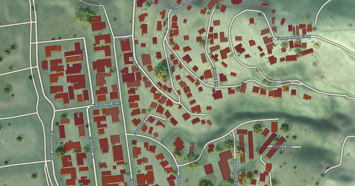
A detailed map of Panoramic Hill, California, showing every building in its true location, the roads by name, and shaded topographical relief.
Read More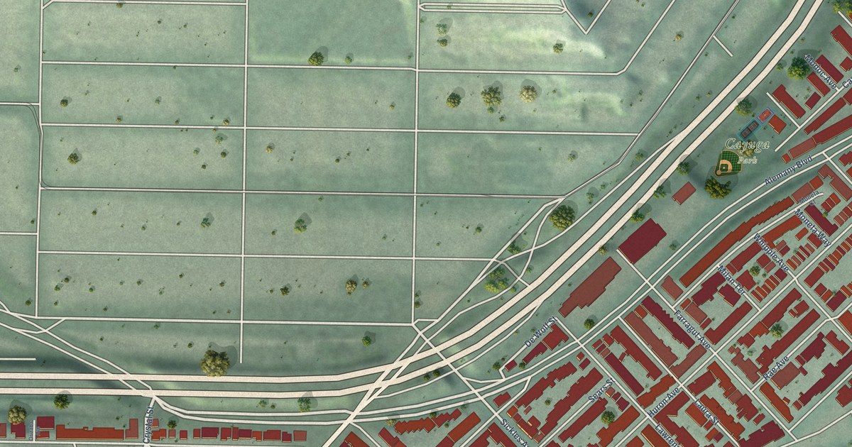
A detailed map of Outer Mission, California, showing every building in its true location, the roads by name, and shaded topographical relief.
Read More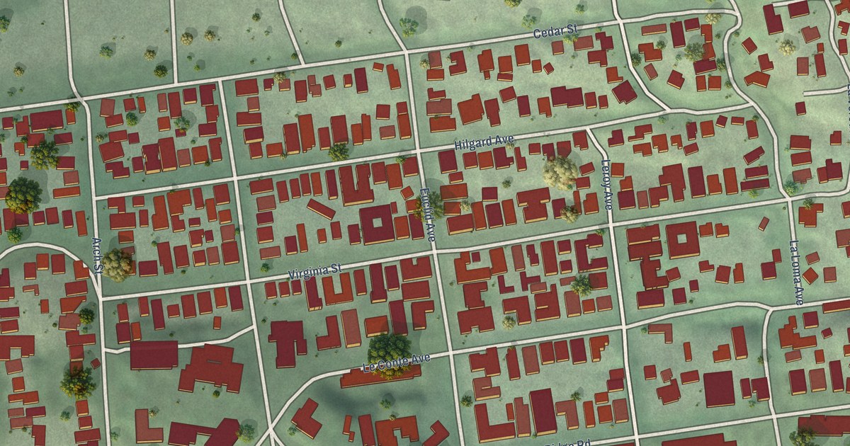
A detailed map of Northside, California, showing every building in its true location, the roads by name, and shaded topographical relief.
Read More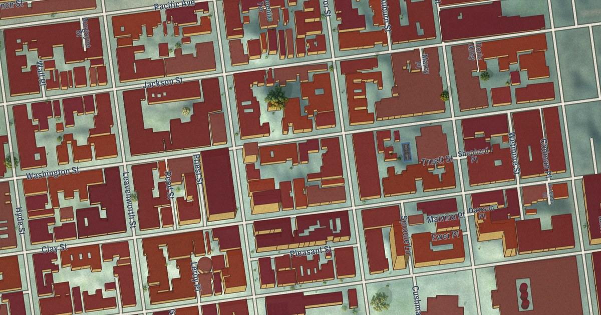
A detailed map of Nob Hill, California, showing every building in its true location, the roads by name, and shaded topographical relief.
Read More















