Detailed Map of Midwood, New York
A detailed map of Midwood, New York, showing every building in its true location, the roads by name, and shaded topographical relief.
Read More
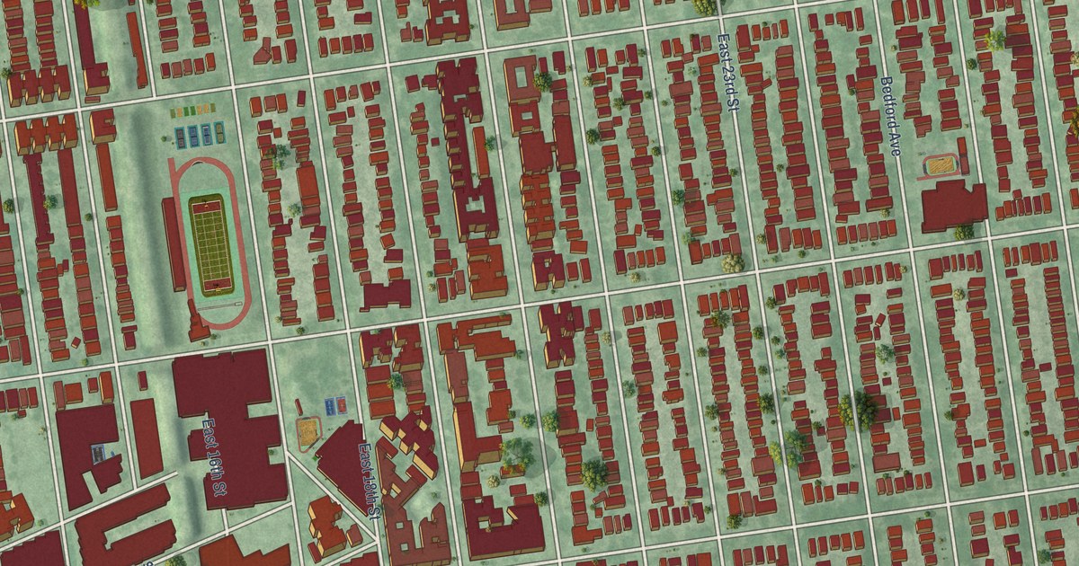
A detailed map of Midwood, New York, showing every building in its true location, the roads by name, and shaded topographical relief.
Read More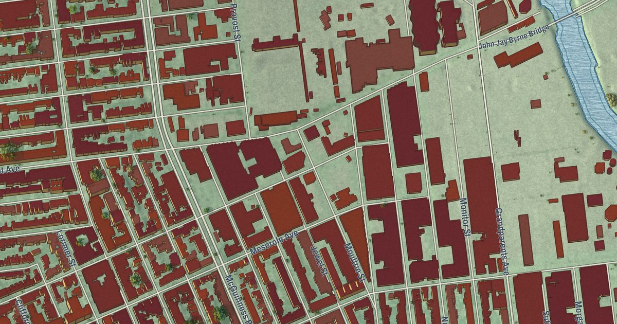
A detailed map of Greenpoint, New York, showing every building in its true location, the roads by name, and shaded topographical relief.
Read More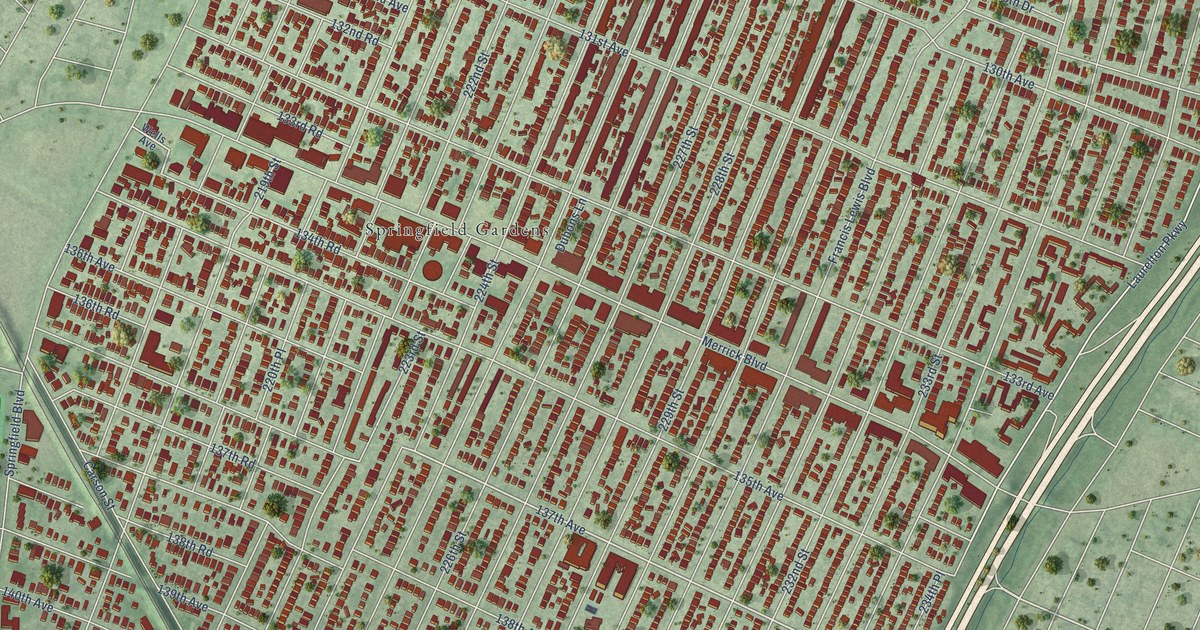
A detailed map of Laurelton, New York, showing every building in its true location, the roads by name, and shaded topographical relief.
Read More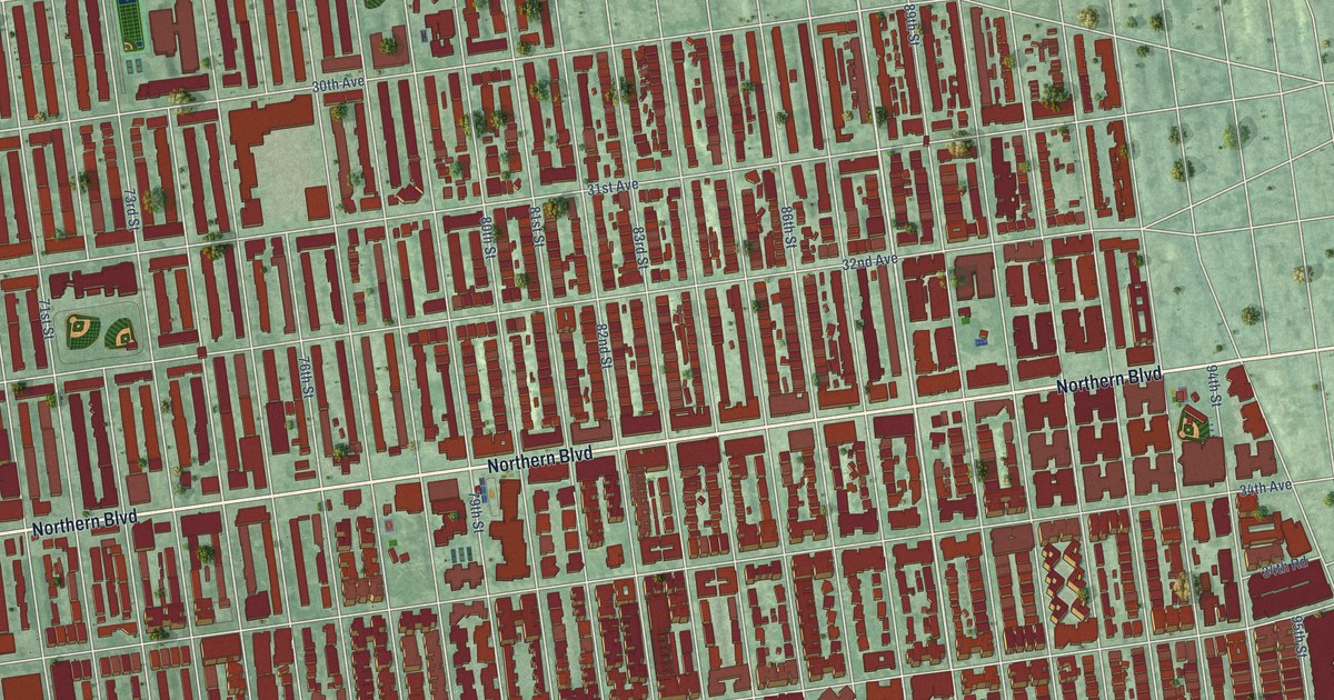
A detailed map of Jackson Heights, New York, showing every building in its true location, the roads by name, and shaded topographical relief.
Read More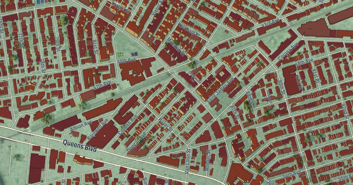
A detailed map of Elmhurst, New York, showing every building in its true location, the roads by name, and shaded topographical relief.
Read More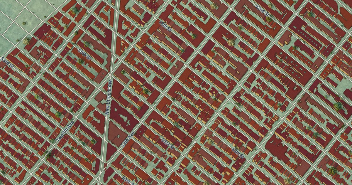
A detailed map of Borough Park, New York, showing every building in its true location, the roads by name, and shaded topographical relief.
Read More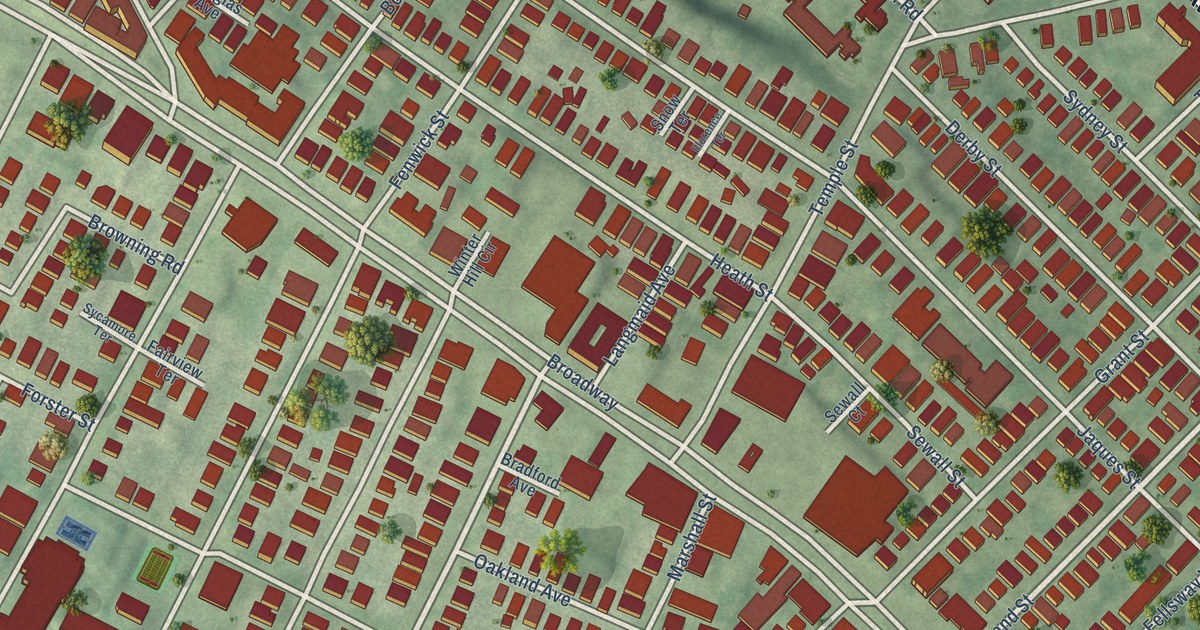
A detailed map of Winter Hill, Massachusetts, showing every building in its true location, the roads by name, and shaded topographical relief.
Read More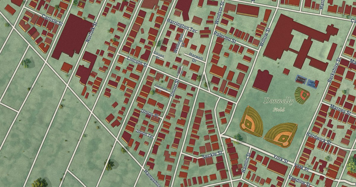
A detailed map of Wellington-Harrington, Massachusetts, showing every building in its true location, the roads by name, and shaded topographical relief.
Read More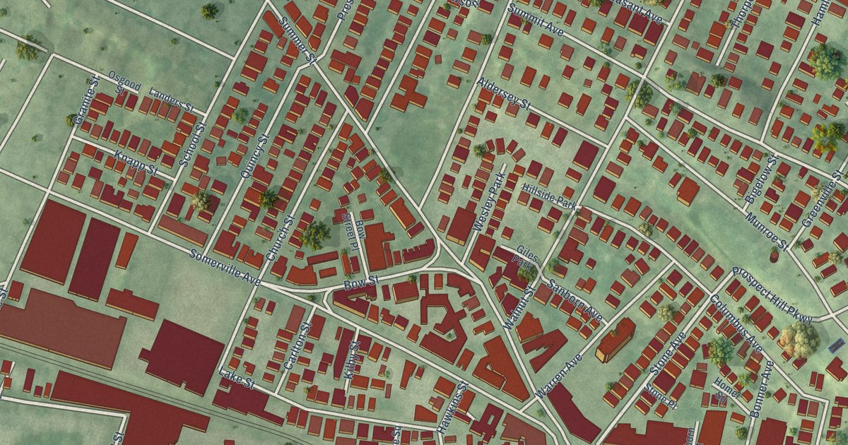
A detailed map of Union Square, Massachusetts, showing every building in its true location, the roads by name, and shaded topographical relief.
Read More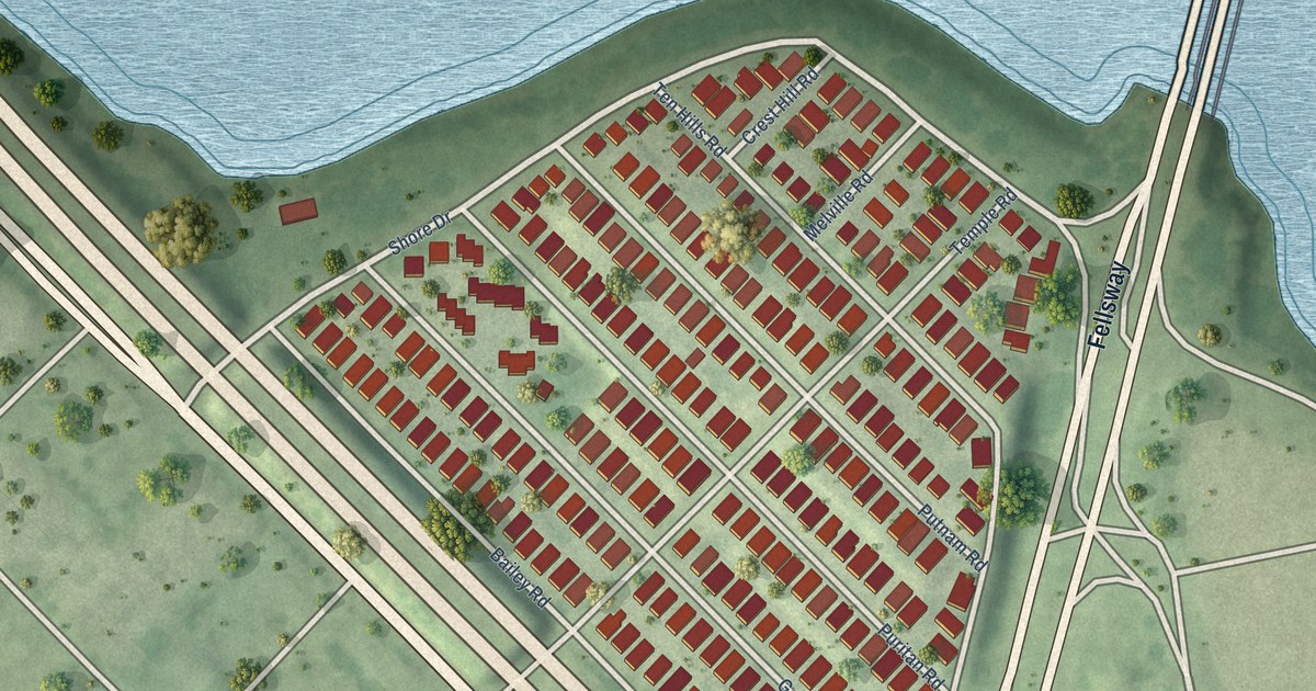
A detailed map of Ten Hills, Massachusetts, showing every building in its true location, the roads by name, and shaded topographical relief.
Read More
A detailed map of Strawberry Hill, Massachusetts, showing every building in its true location, the roads by name, and shaded topographical relief.
Read More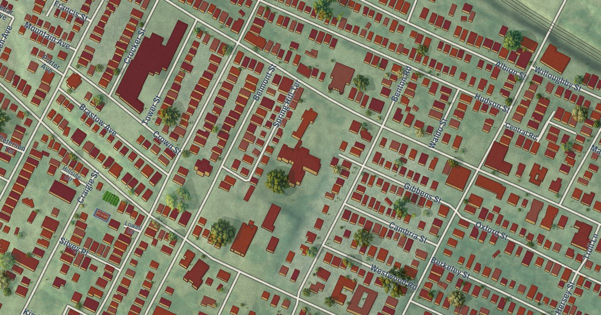
A detailed map of Spring Hill, Massachusetts, showing every building in its true location, the roads by name, and shaded topographical relief.
Read More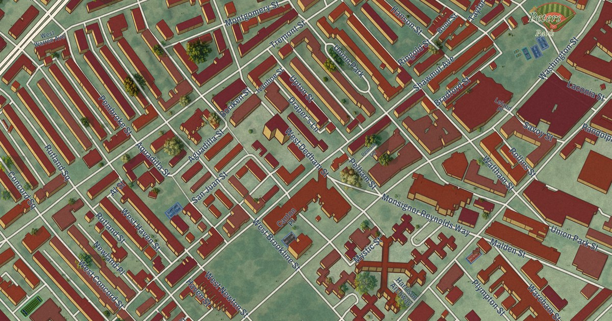
A detailed map of South End, Massachusetts, showing every building in its true location, the roads by name, and shaded topographical relief.
Read More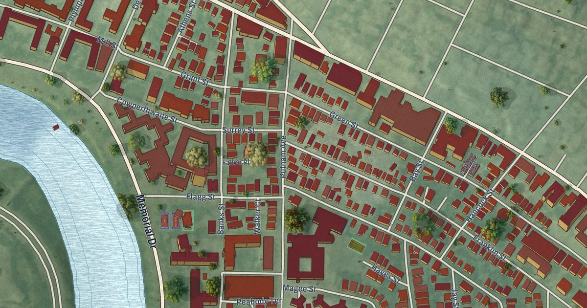
A detailed map of Riverside, Massachusetts, showing every building in its true location, the roads by name, and shaded topographical relief.
Read More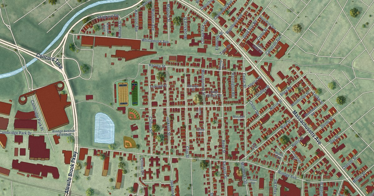
A detailed map of North Cambridge, Massachusetts, showing every building in its true location, the roads by name, and shaded topographical relief.
Read More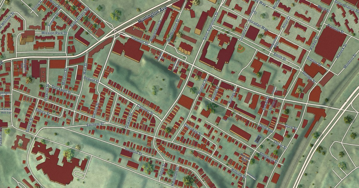
A detailed map of Mission Hill, Massachusetts, showing every building in its true location, the roads by name, and shaded topographical relief.
Read More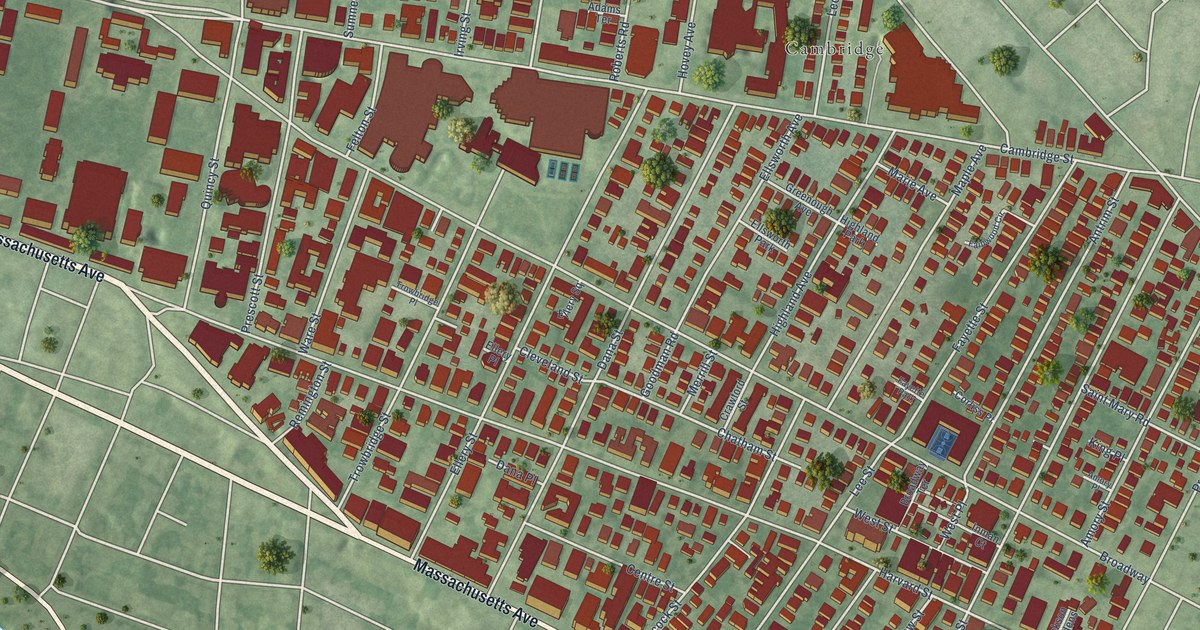
A detailed map of Mid-Cambridge, Massachusetts, showing every building in its true location, the roads by name, and shaded topographical relief.
Read More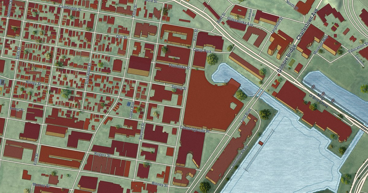
A detailed map of East Cambridge, Massachusetts, showing every building in its true location, the roads by name, and shaded topographical relief.
Read More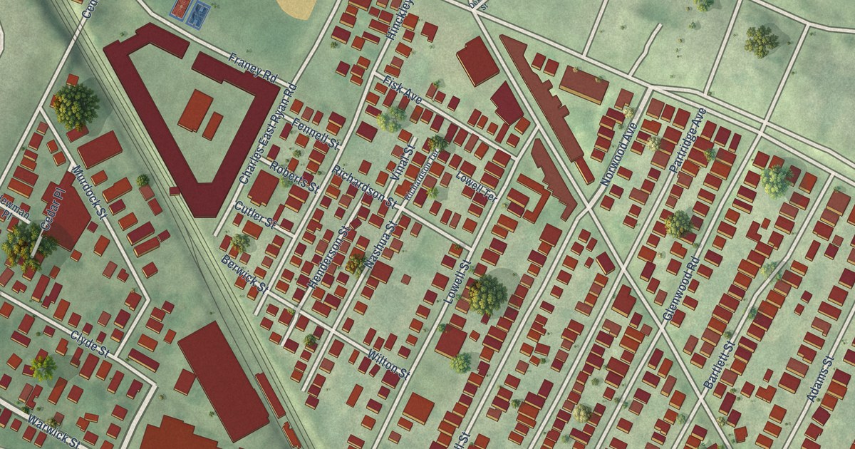
A detailed map of Magoun Square, Massachusetts, showing every building in its true location, the roads by name, and shaded topographical relief.
Read More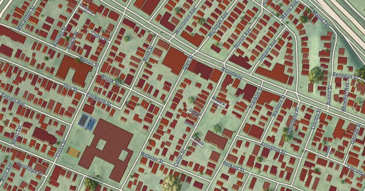
A detailed map of East Somerville, Massachusetts, showing every building in its true location, the roads by name, and shaded topographical relief.
Read More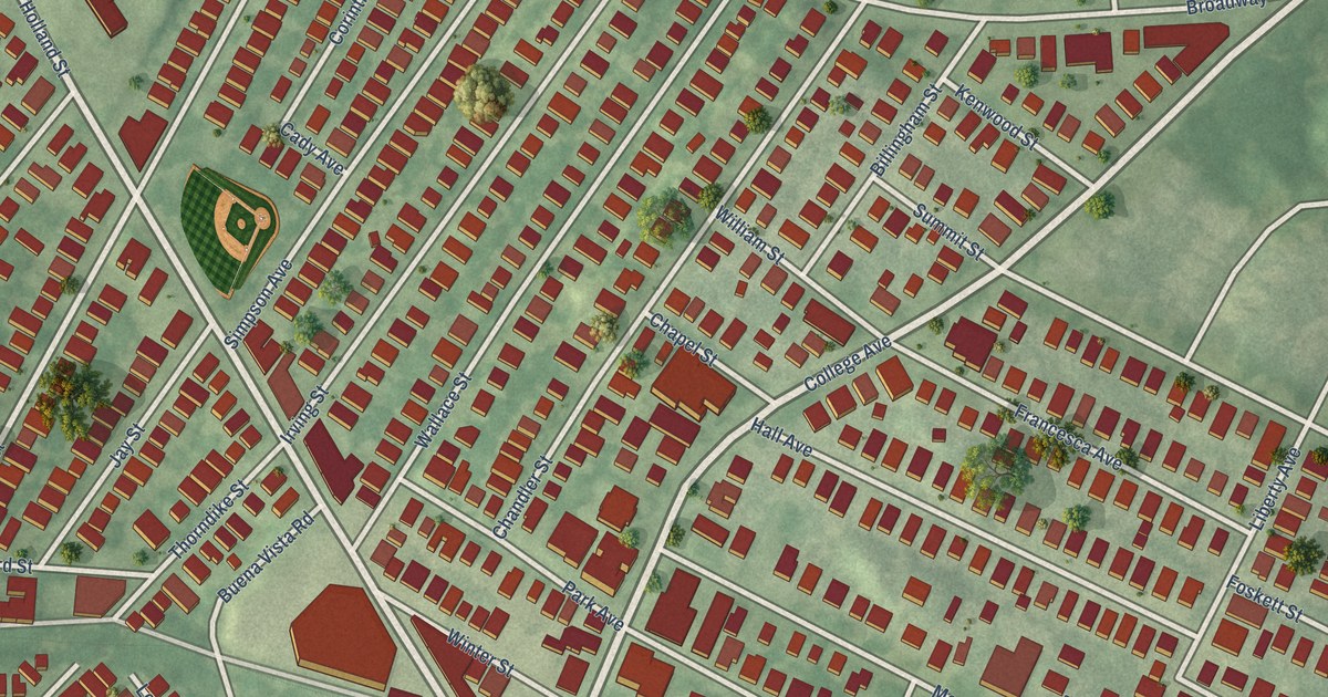
A detailed map of Davis Square, Massachusetts, showing every building in its true location, the roads by name, and shaded topographical relief.
Read More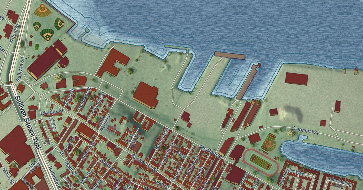
A detailed map of Charlestown, Massachusetts, showing every building in its true location, the roads by name, and shaded topographical relief.
Read More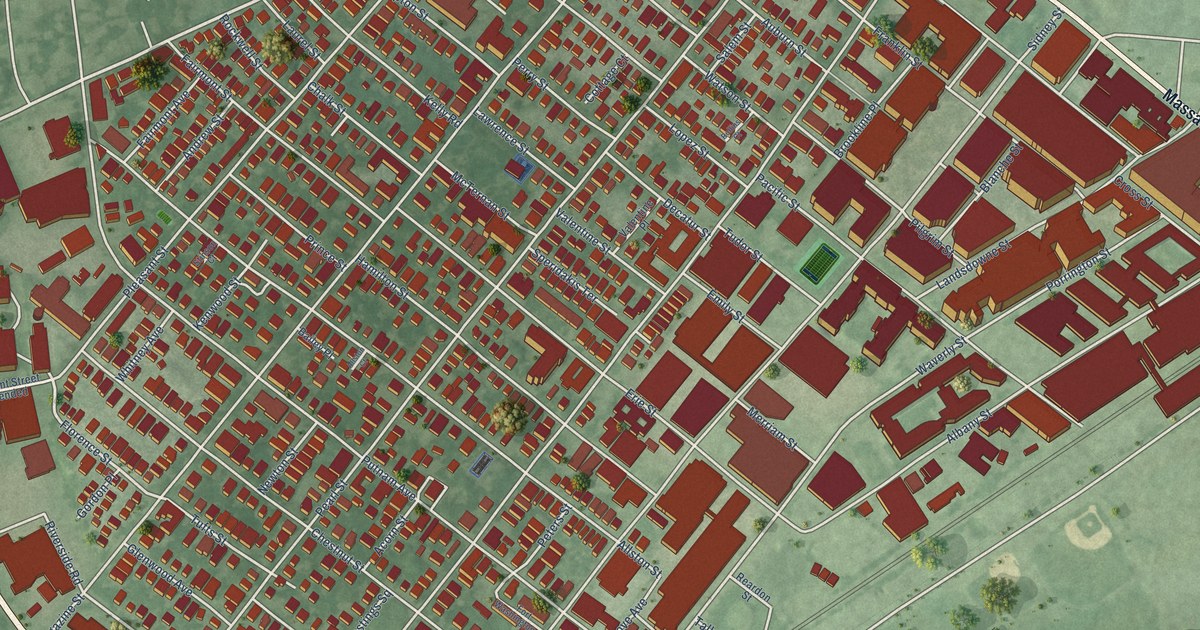
A detailed map of Cambridgeport, Massachusetts, showing every building in its true location, the roads by name, and shaded topographical relief.
Read More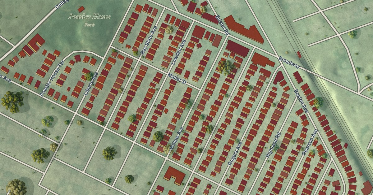
A detailed map of Ball Square, Massachusetts, showing every building in its true location, the roads by name, and shaded topographical relief.
Read More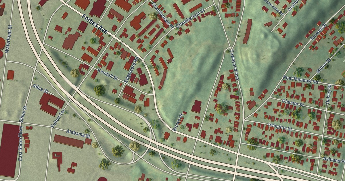
A detailed map of Annex, Connecticut, showing every building in its true location, the roads by name, and shaded topographical relief.
Read More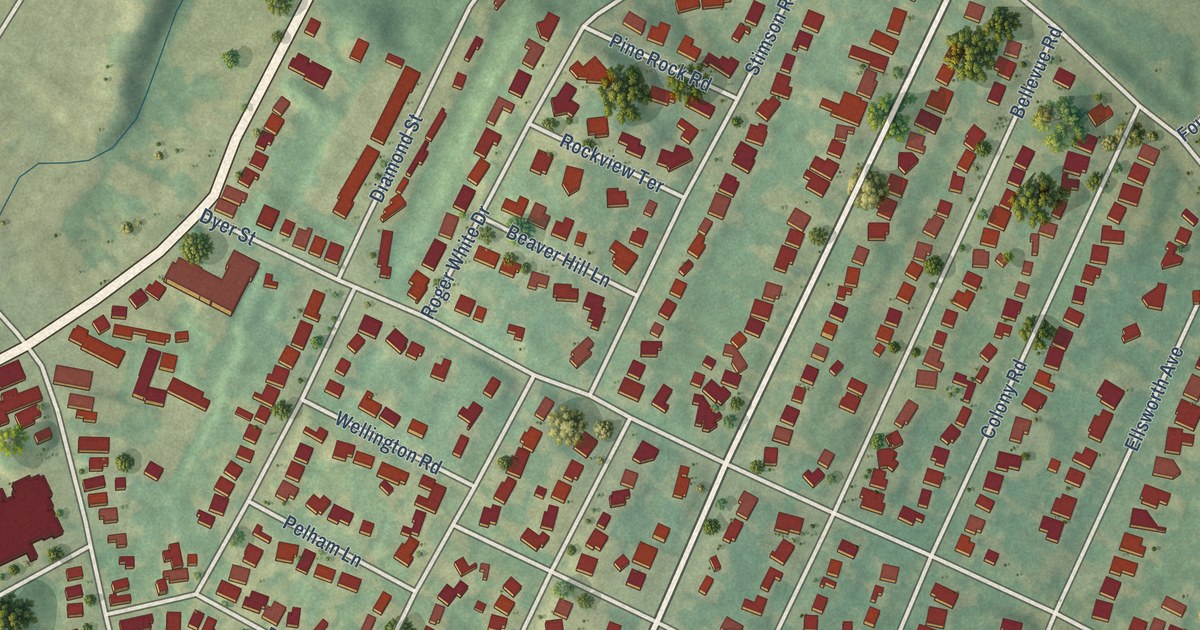
A detailed map of Beaver Hills, Connecticut, showing every building in its true location, the roads by name, and shaded topographical relief.
Read More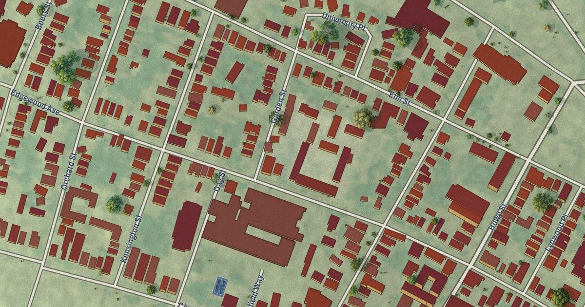
A detailed map of Dwight, Connecticut, showing every building in its true location, the roads by name, and shaded topographical relief.
Read More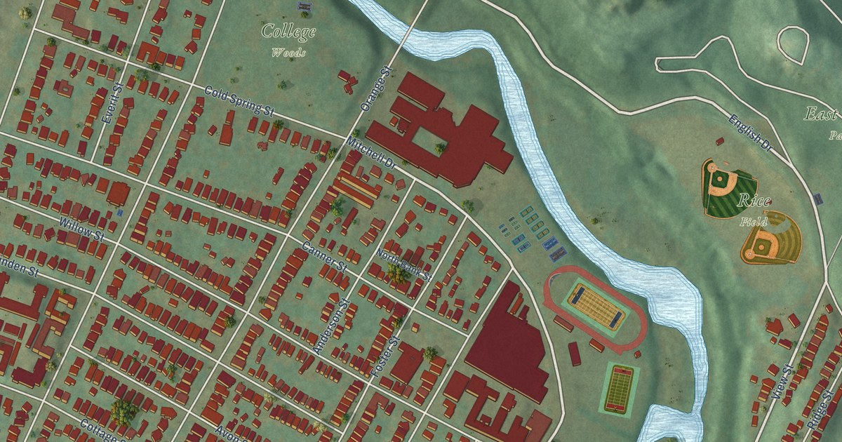
A detailed map of East Rock, Connecticut, showing every building in its true location, the roads by name, and shaded topographical relief.
Read More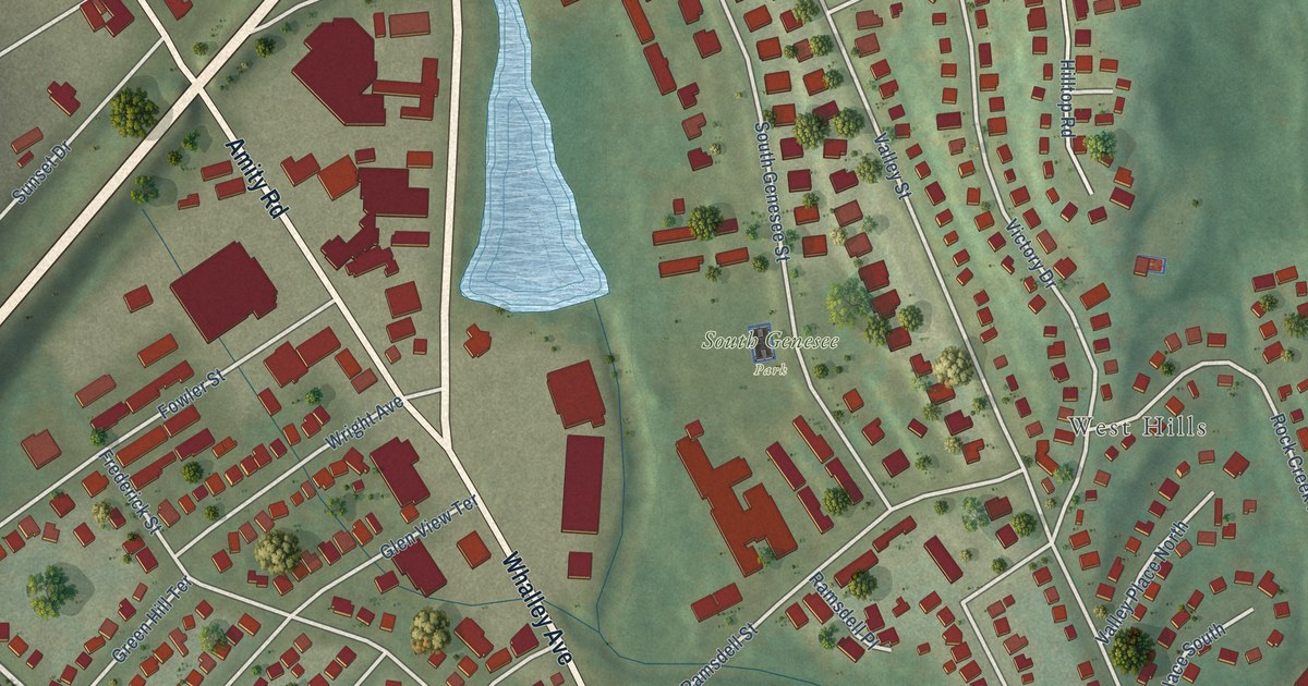
A detailed map of Amity, Connecticut, showing every building in its true location, the roads by name, and shaded topographical relief.
Read More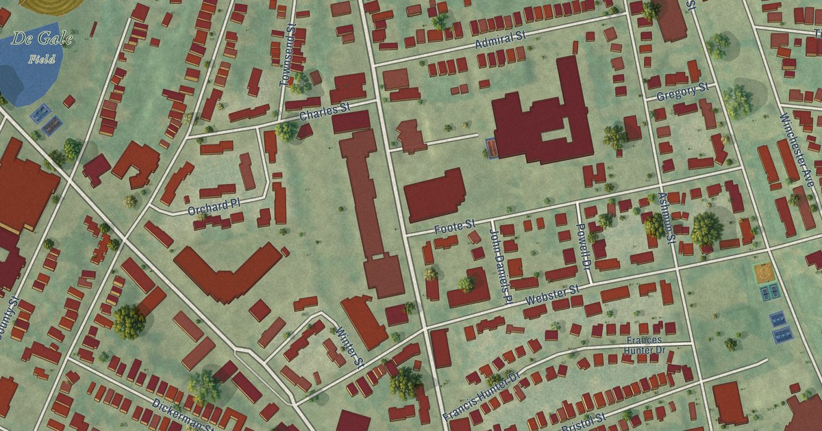
A detailed map of Dixwell, Connecticut, showing every building in its true location, the roads by name, and shaded topographical relief.
Read More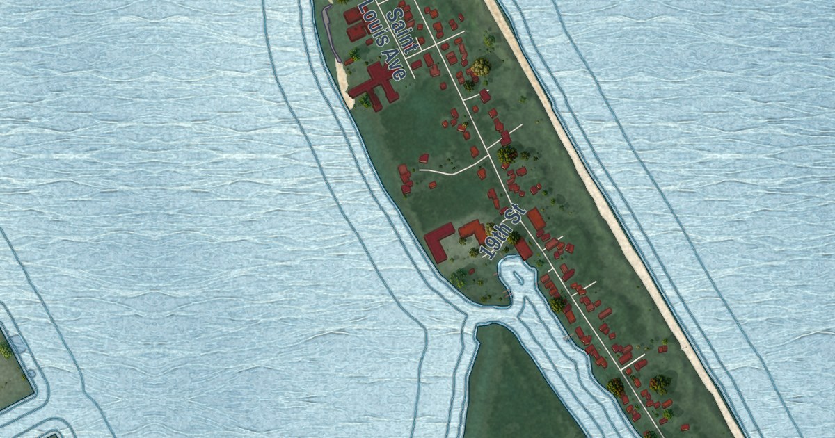
A detailed map of Park Point, Minnesota, showing every building in its true location, the roads by name, and shaded topographical relief.
Read More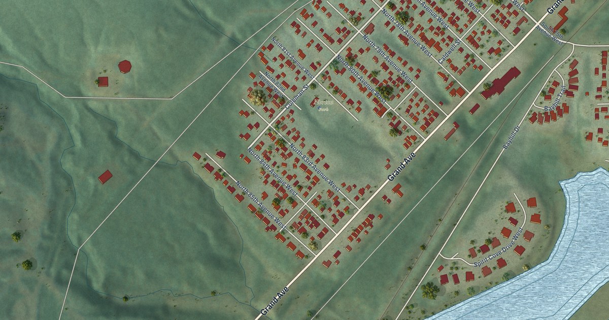
A detailed map of Norton Park, Minnesota, showing every building in its true location, the roads by name, and shaded topographical relief.
Read More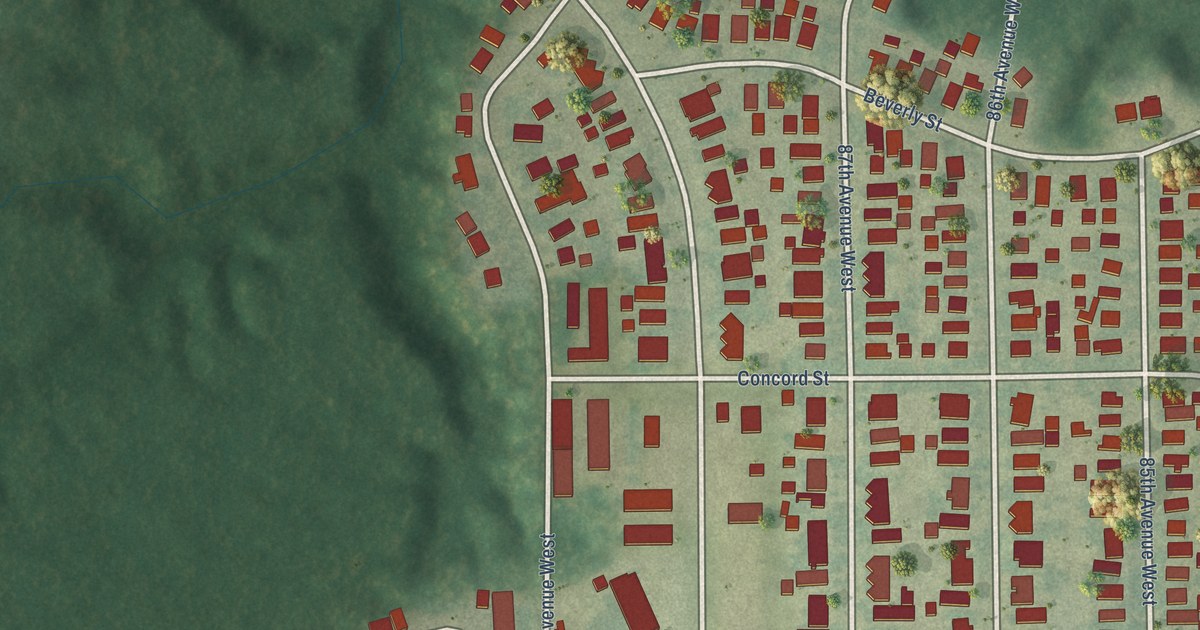
A detailed map of Morgan Park, Minnesota, showing every building in its true location, the roads by name, and shaded topographical relief.
Read More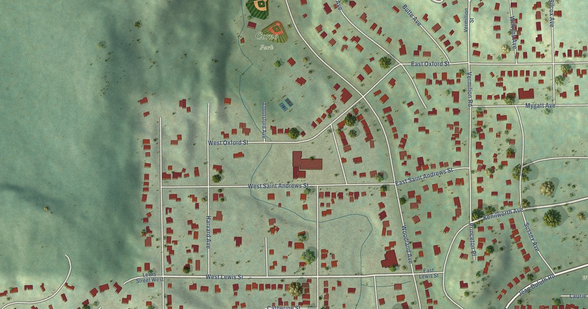
A detailed map of Hunters Park, Minnesota, showing every building in its true location, the roads by name, and shaded topographical relief.
Read More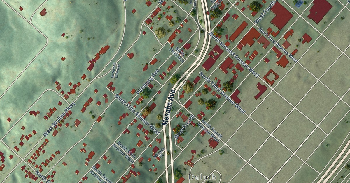
A detailed map of Central Hillside, Minnesota, showing every building in its true location, the roads by name, and shaded topographical relief.
Read More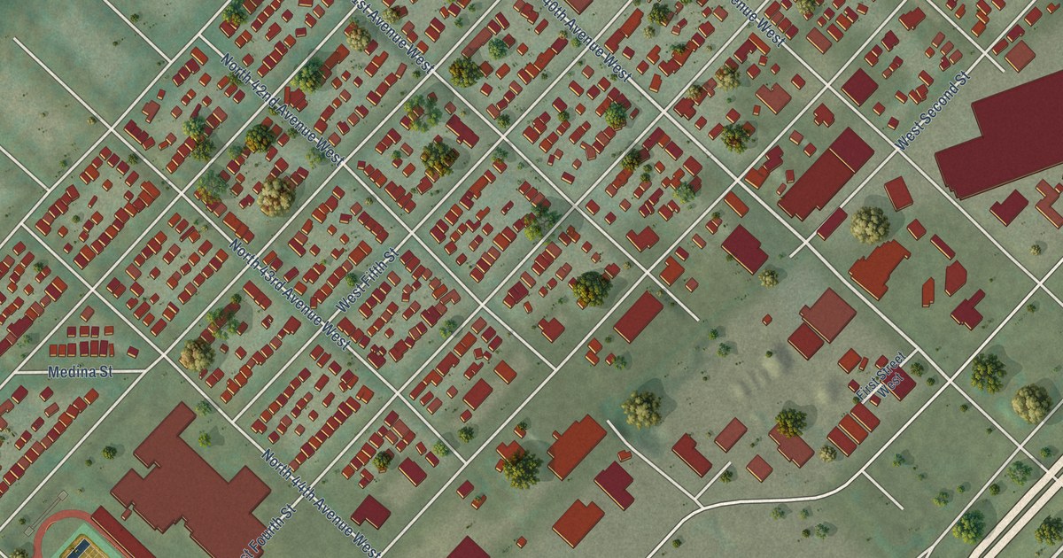
A detailed map of Denfeld, Minnesota, showing every building in its true location, the roads by name, and shaded topographical relief.
Read More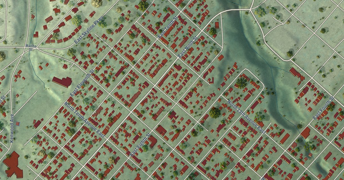
A detailed map of East Hillside, Minnesota, showing every building in its true location, the roads by name, and shaded topographical relief.
Read More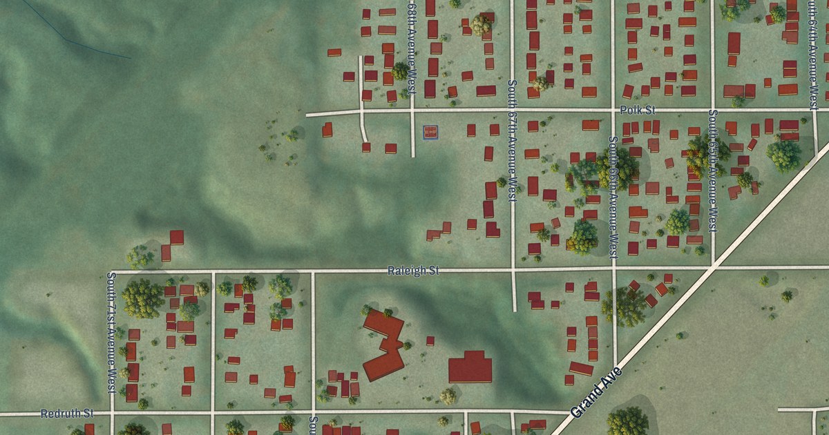
A detailed map of Fairmount, Minnesota, showing every building in its true location, the roads by name, and shaded topographical relief.
Read More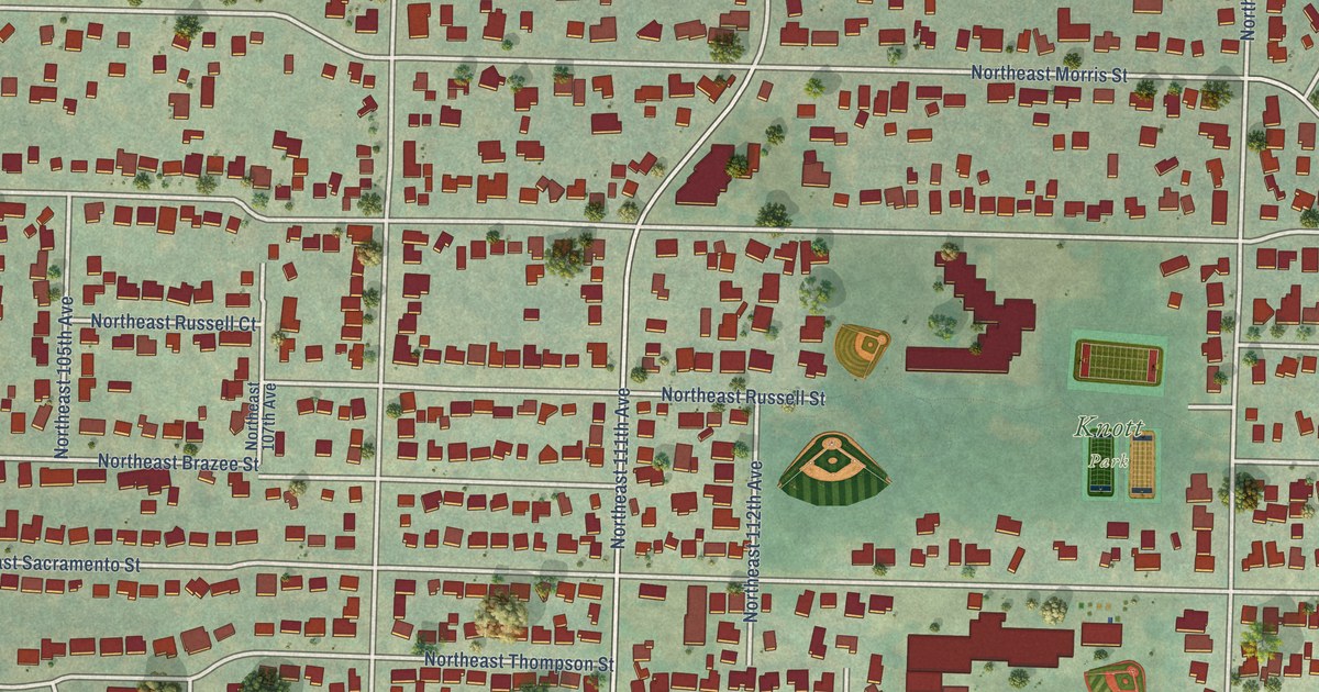
A detailed map of Parkrose Heights, Oregon, showing every building in its true location, the roads by name, and shaded topographical relief.
Read More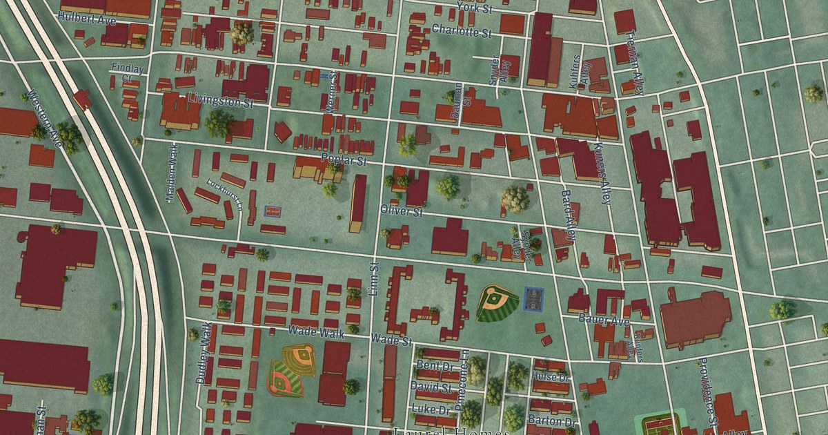
A detailed map of West End, Ohio, showing every building in its true location, the roads by name, and shaded topographical relief.
Read More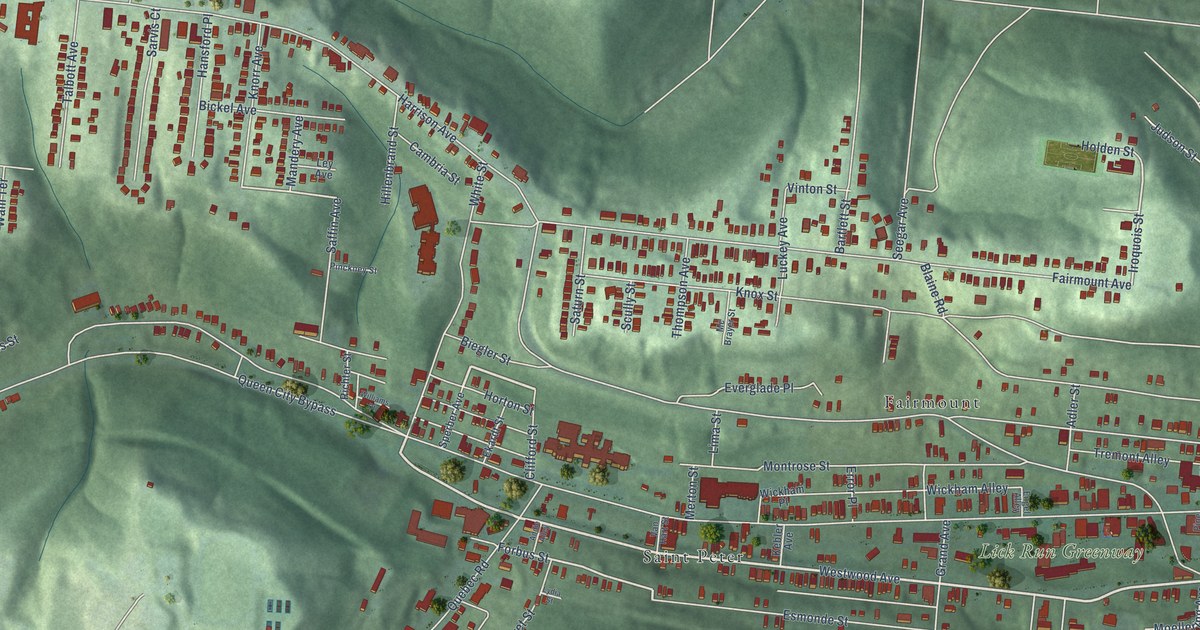
A detailed map of South Fairmount, Ohio, showing every building in its true location, the roads by name, and shaded topographical relief.
Read More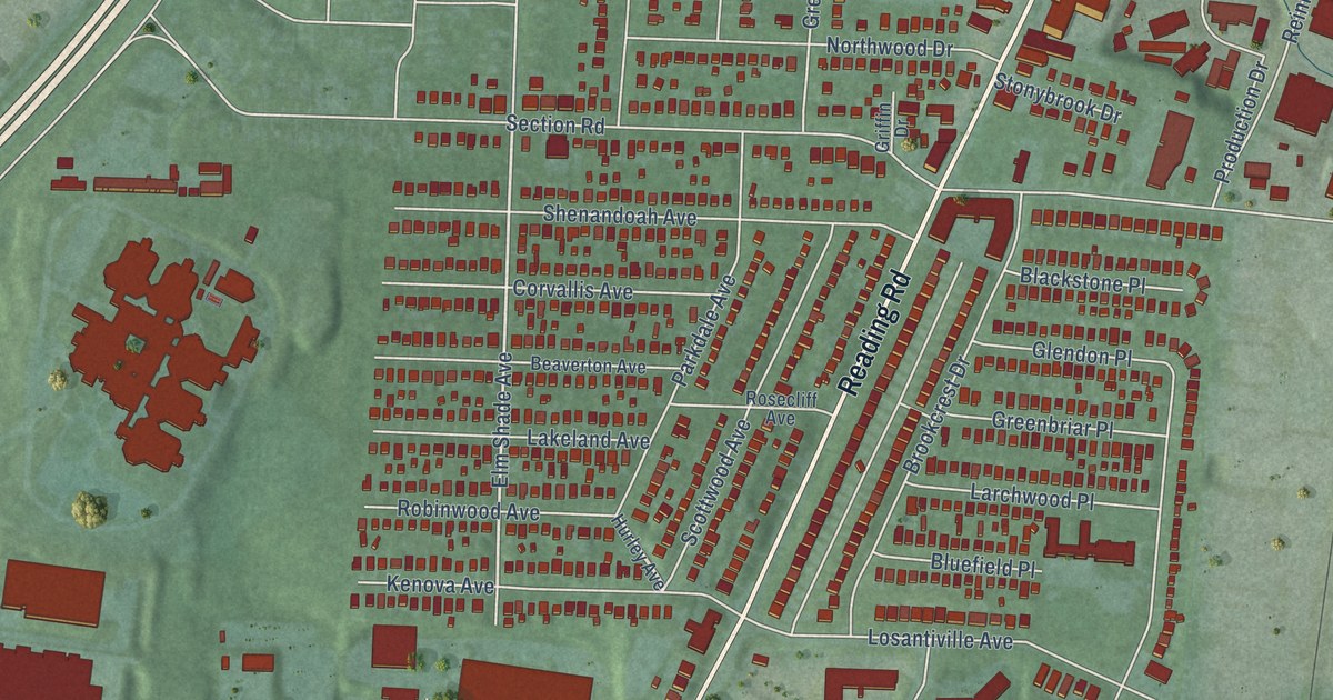
A detailed map of Roselawn, Ohio, showing every building in its true location, the roads by name, and shaded topographical relief.
Read More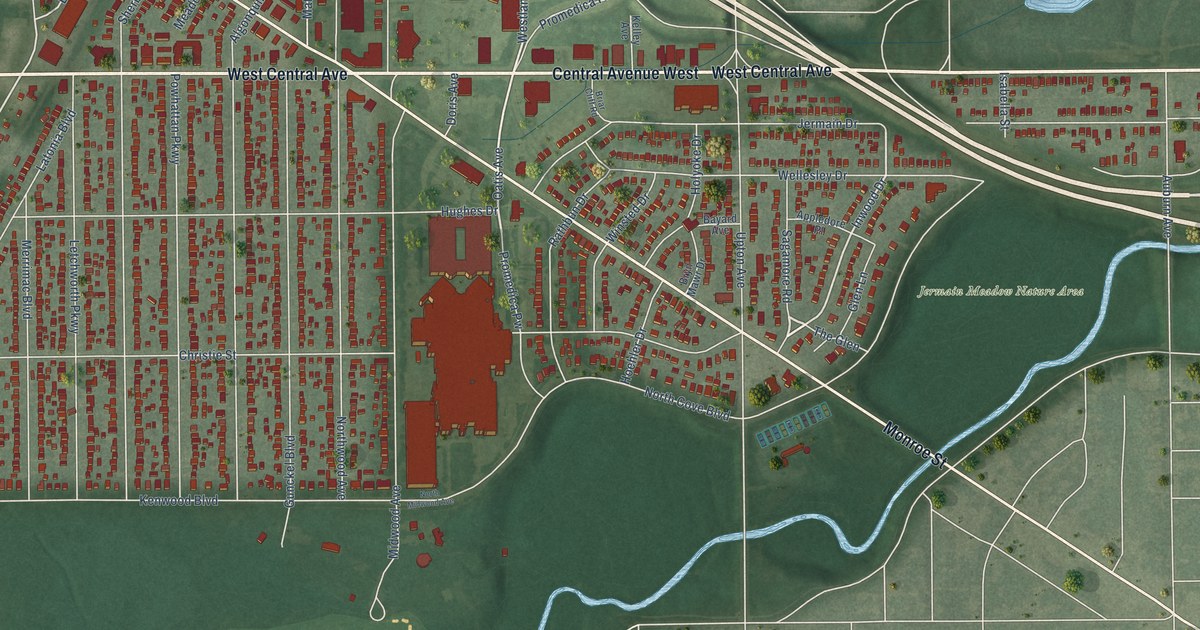
A detailed map of Ottawa, Ohio, showing every building in its true location, the roads by name, and shaded topographical relief.
Read More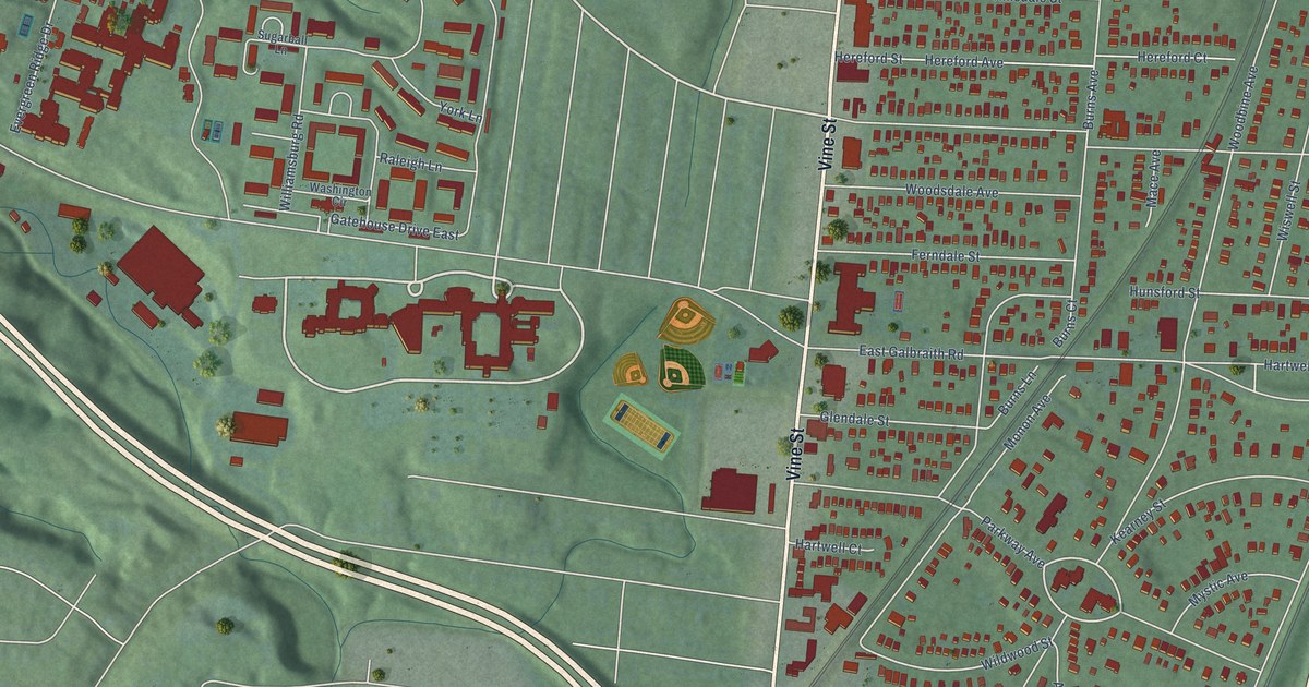
A detailed map of Hartwell, Ohio, showing every building in its true location, the roads by name, and shaded topographical relief.
Read More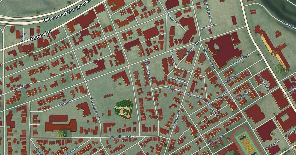
A detailed map of Ohio City, Ohio, showing every building in its true location, the roads by name, and shaded topographical relief.
Read More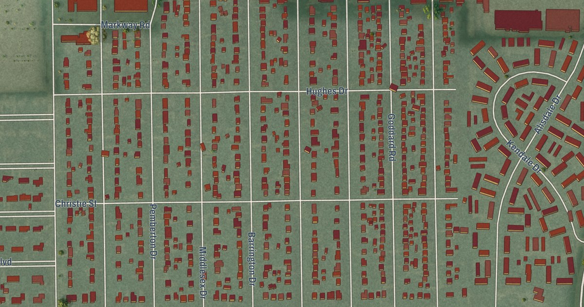
A detailed map of Old Orchard, Ohio, showing every building in its true location, the roads by name, and shaded topographical relief.
Read More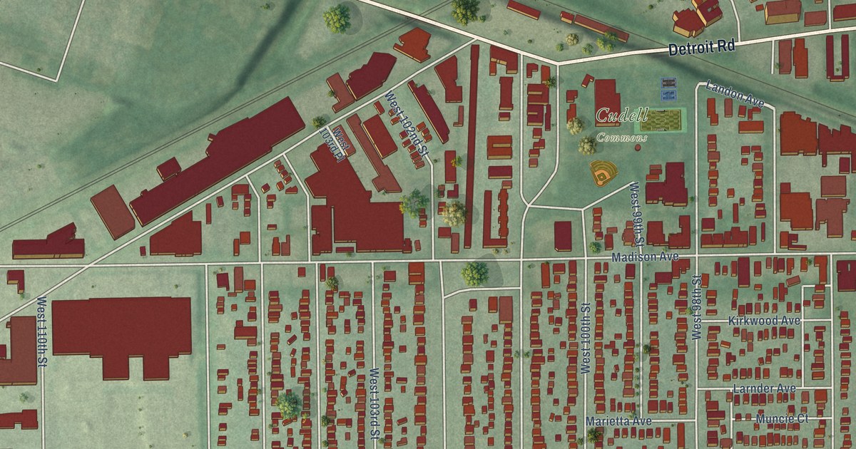
A detailed map of Cudell, Ohio, showing every building in its true location, the roads by name, and shaded topographical relief.
Read More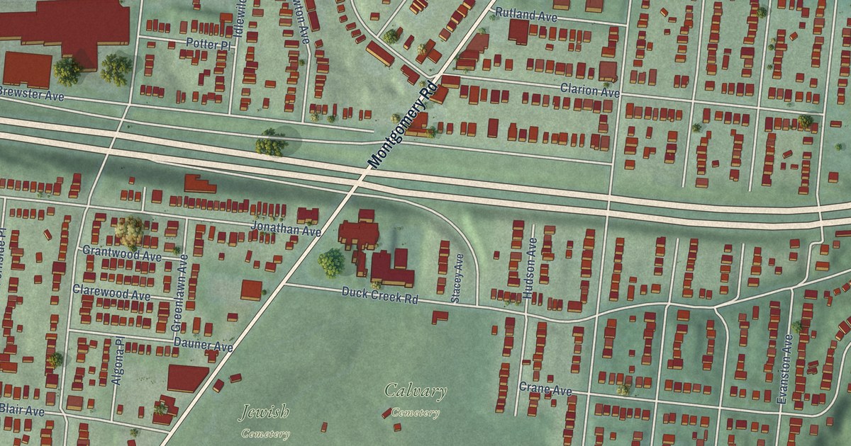
A detailed map of Evanston, Ohio, showing every building in its true location, the roads by name, and shaded topographical relief.
Read More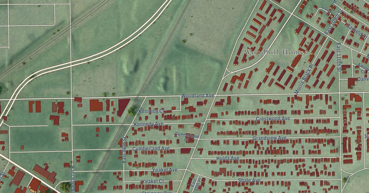
A detailed map of Buckeye-Woodhill, Ohio, showing every building in its true location, the roads by name, and shaded topographical relief.
Read More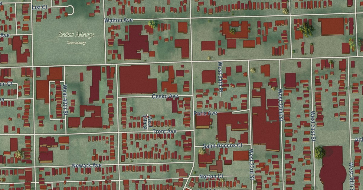
A detailed map of Clark-Fulton, Ohio, showing every building in its true location, the roads by name, and shaded topographical relief.
Read More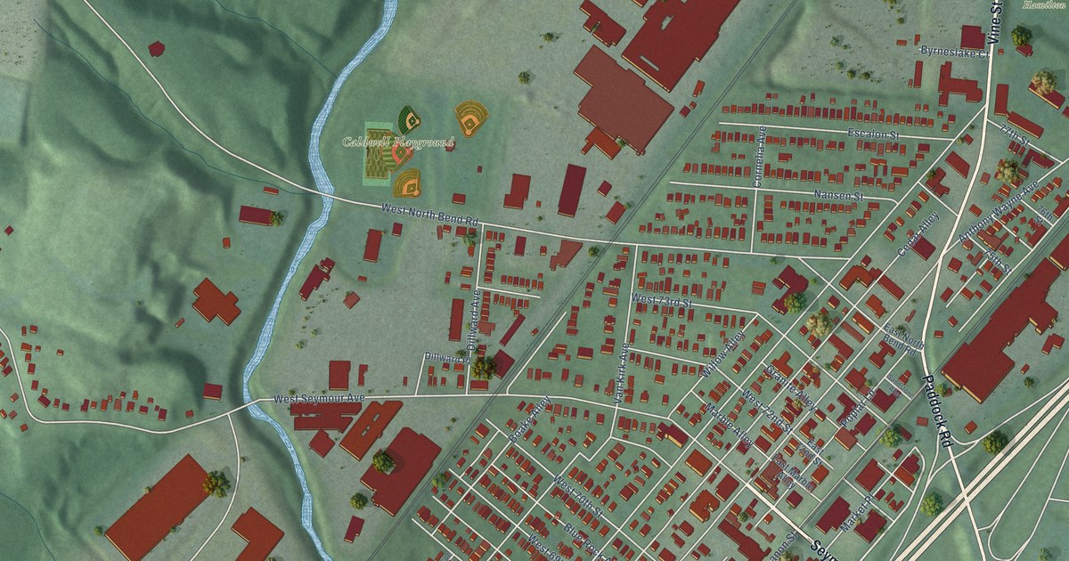
A detailed map of Carthage, Ohio, showing every building in its true location, the roads by name, and shaded topographical relief.
Read More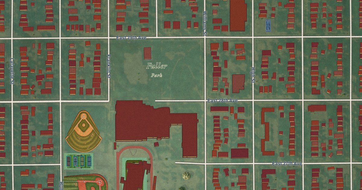
A detailed map of Whittier, Colorado, showing every building in its true location, the roads by name, and shaded topographical relief.
Read More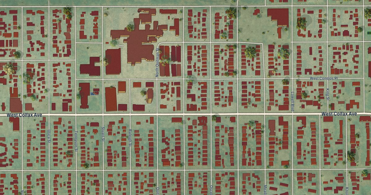
A detailed map of West Colfax, Colorado, showing every building in its true location, the roads by name, and shaded topographical relief.
Read More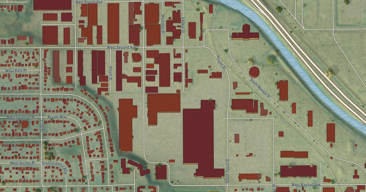
A detailed map of Valverde, Colorado, showing every building in its true location, the roads by name, and shaded topographical relief.
Read More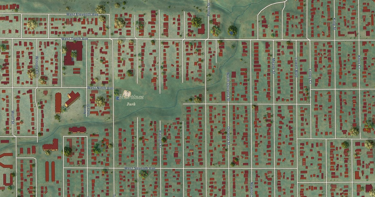
A detailed map of Villa Park, Colorado, showing every building in its true location, the roads by name, and shaded topographical relief.
Read More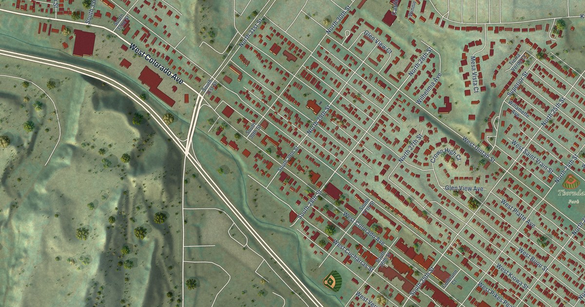
A detailed map of Old Colorado City, Colorado, showing every building in its true location, the roads by name, and shaded topographical relief.
Read More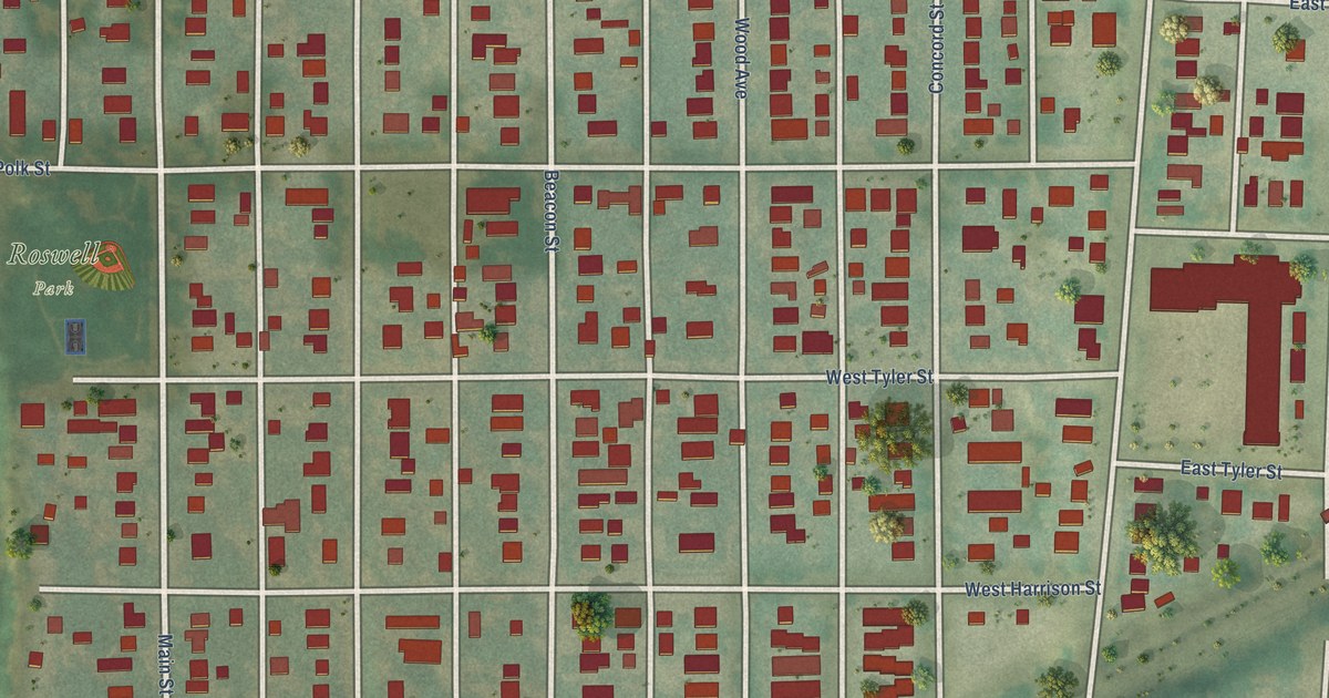
A detailed map of Roswell, Colorado, showing every building in its true location, the roads by name, and shaded topographical relief.
Read More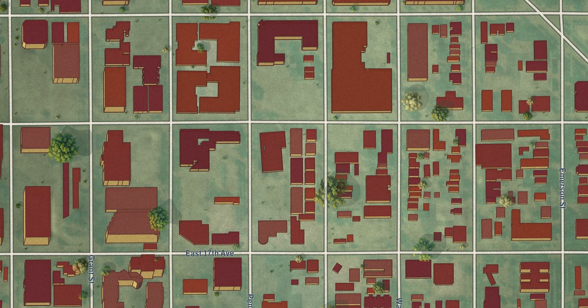
A detailed map of North Capitol Hill, Colorado, showing every building in its true location, the roads by name, and shaded topographical relief.
Read More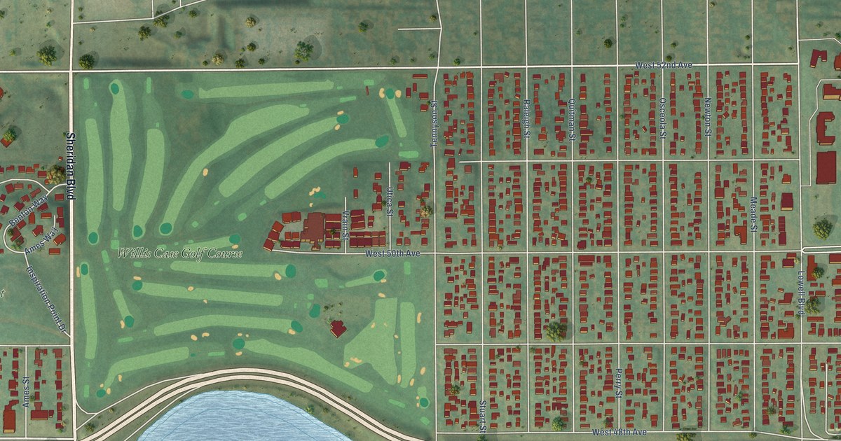
A detailed map of Regis, Colorado, showing every building in its true location, the roads by name, and shaded topographical relief.
Read More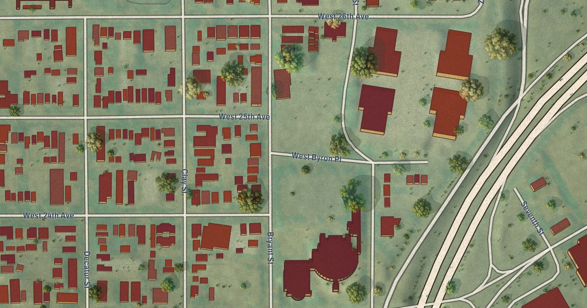
A detailed map of Jefferson Park, Colorado, showing every building in its true location, the roads by name, and shaded topographical relief.
Read More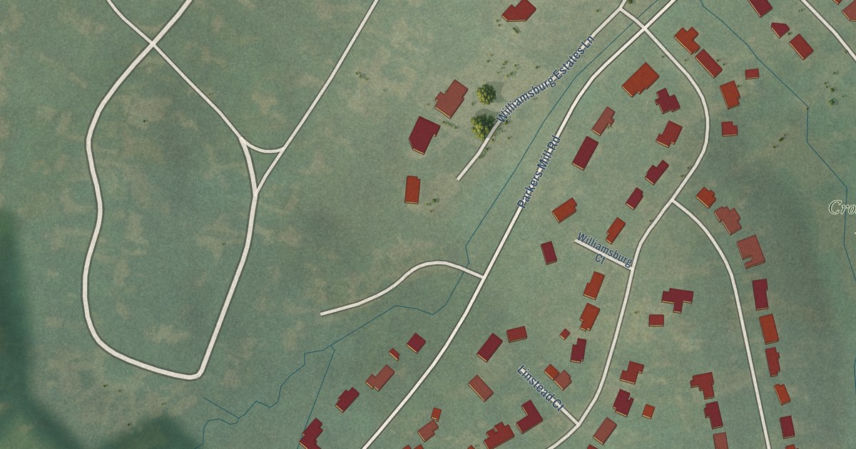
A detailed map of West Gardenside, Kentucky, showing every building in its true location, the roads by name, and shaded topographical relief.
Read More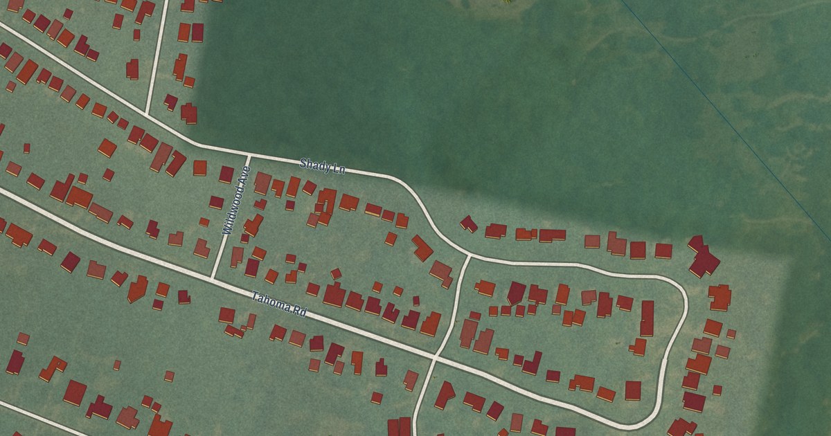
A detailed map of Southern Heights, Kentucky, showing every building in its true location, the roads by name, and shaded topographical relief.
Read More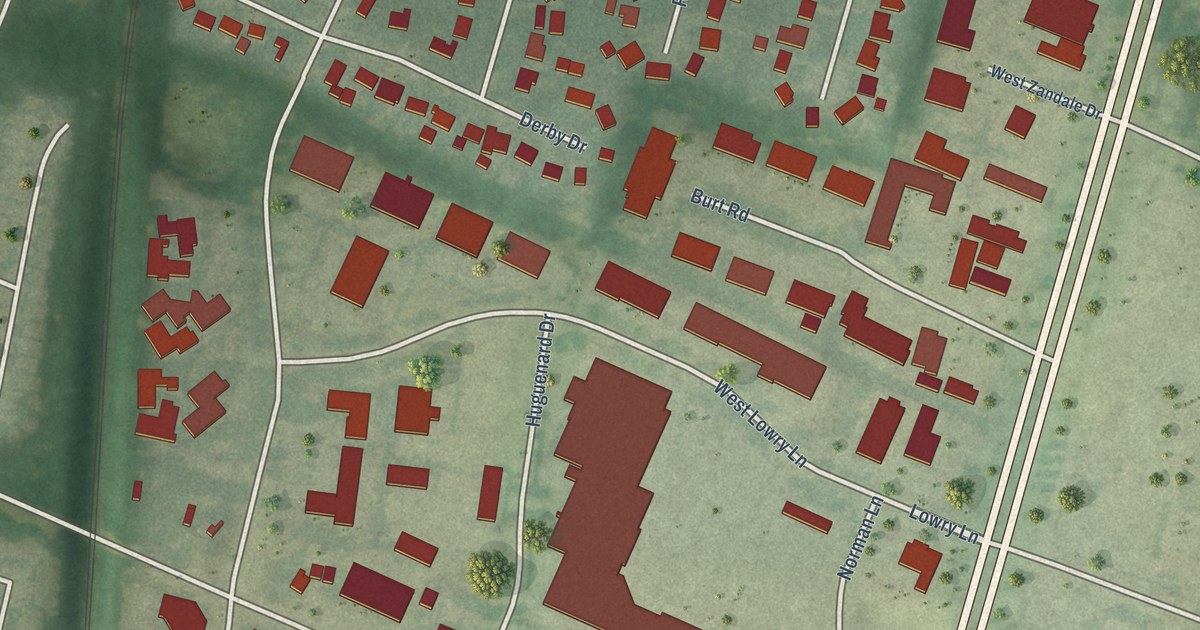
A detailed map of Deerfield, Kentucky, showing every building in its true location, the roads by name, and shaded topographical relief.
Read More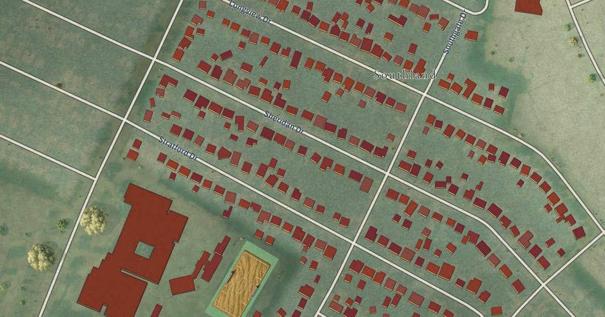
A detailed map of Rosemill, Kentucky, showing every building in its true location, the roads by name, and shaded topographical relief.
Read More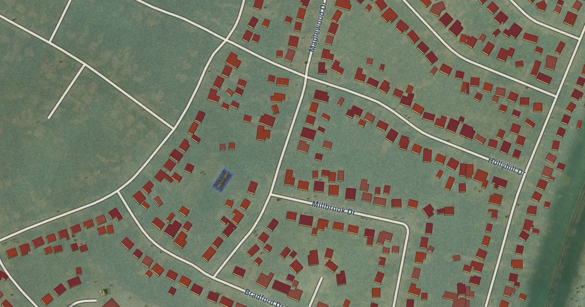
A detailed map of Hill ‘n Dale, Kentucky, showing every building in its true location, the roads by name, and shaded topographical relief.
Read More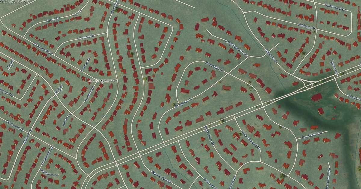
A detailed map of Lansdowne, Kentucky, showing every building in its true location, the roads by name, and shaded topographical relief.
Read More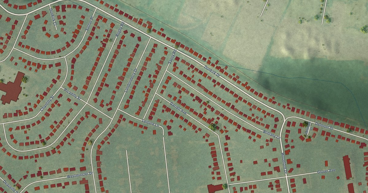
A detailed map of Cardinal Valley, Kentucky, showing every building in its true location, the roads by name, and shaded topographical relief.
Read More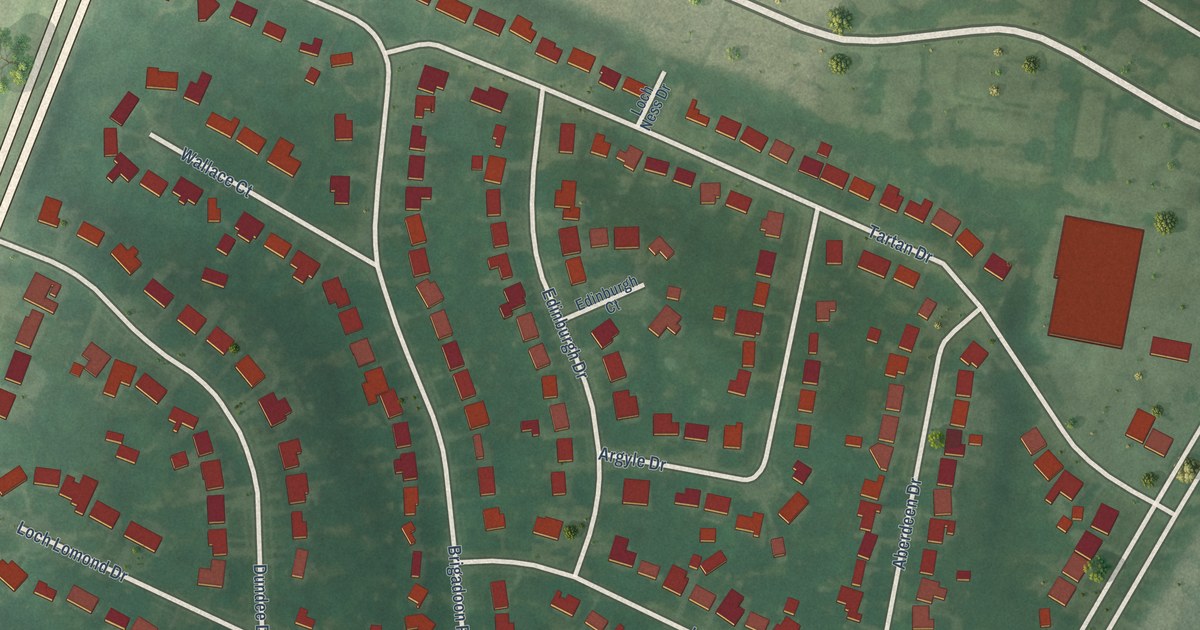
A detailed map of Brigadoon, Kentucky, showing every building in its true location, the roads by name, and shaded topographical relief.
Read More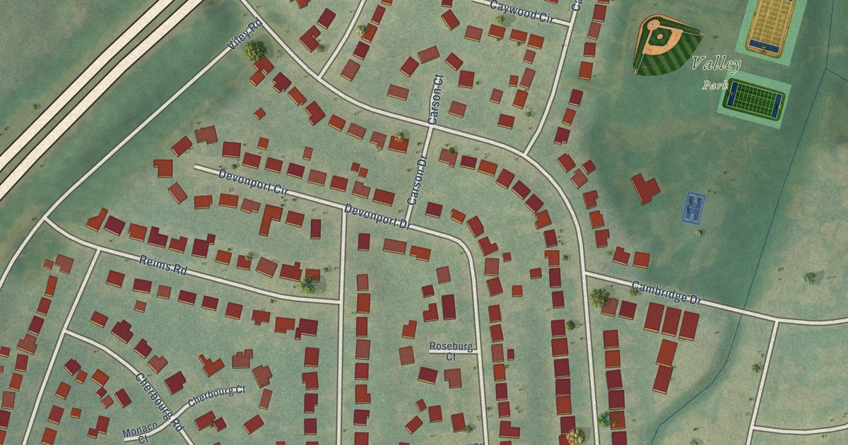
A detailed map of Calumet, Kentucky, showing every building in its true location, the roads by name, and shaded topographical relief.
Read More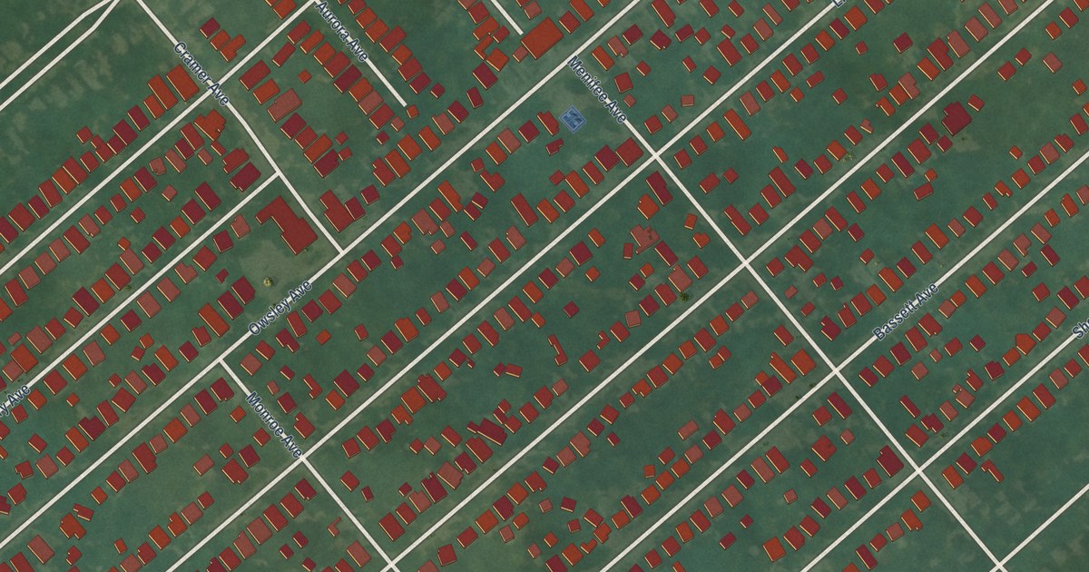
A detailed map of Kenwick, Kentucky, showing every building in its true location, the roads by name, and shaded topographical relief.
Read More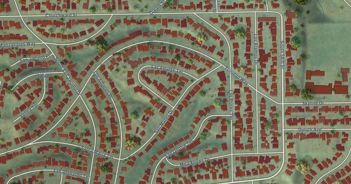
A detailed map of Valencia Park, California, showing every building in its true location, the roads by name, and shaded topographical relief.
Read More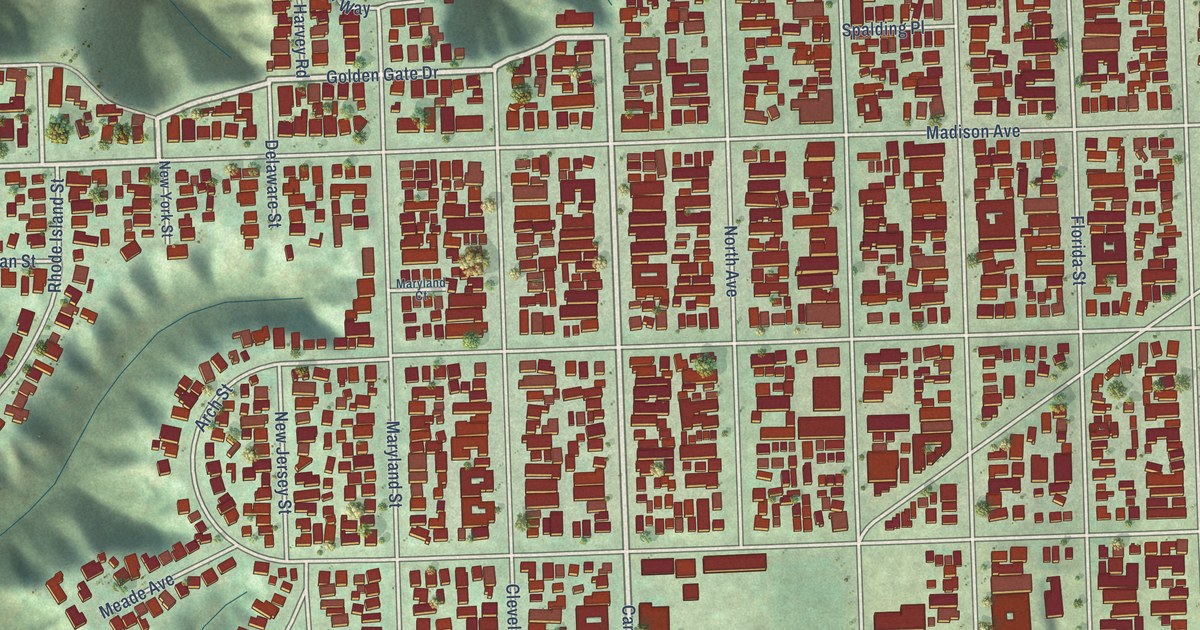
A detailed map of University Heights, California, showing every building in its true location, the roads by name, and shaded topographical relief.
Read More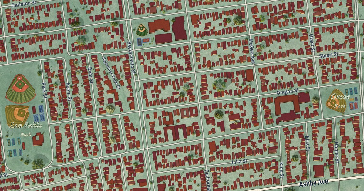
A detailed map of South Berkeley, California, showing every building in its true location, the roads by name, and shaded topographical relief.
Read More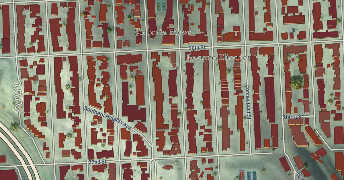
A detailed map of Potrero Hill, California, showing every building in its true location, the roads by name, and shaded topographical relief.
Read More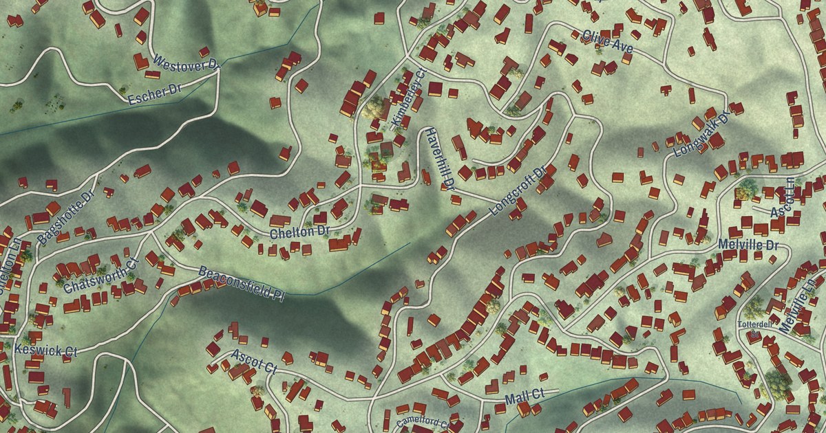
A detailed map of Piedmont Pines, California, showing every building in its true location, the roads by name, and shaded topographical relief.
Read More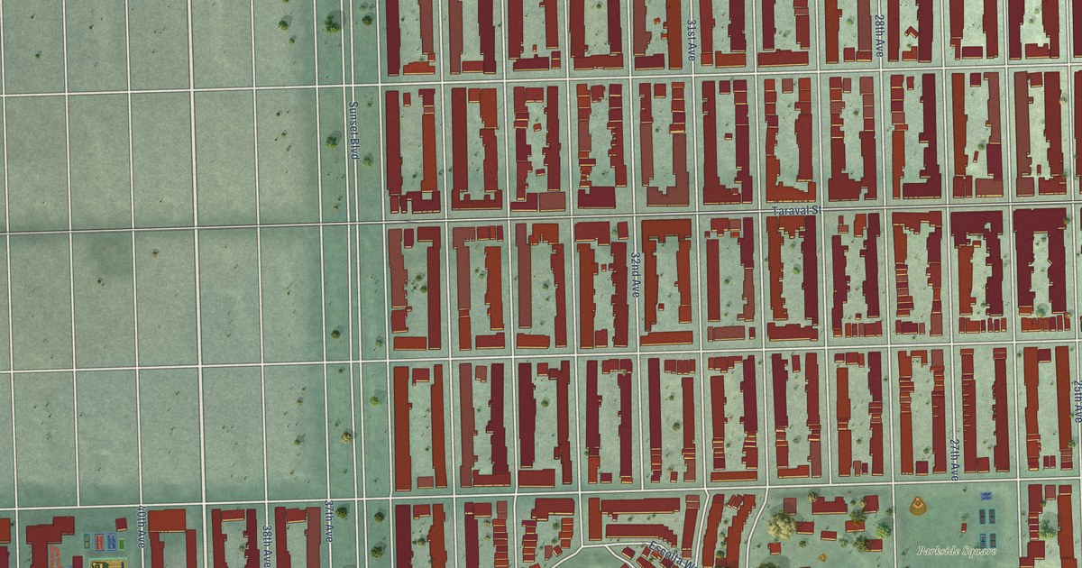
A detailed map of Parkside, California, showing every building in its true location, the roads by name, and shaded topographical relief.
Read More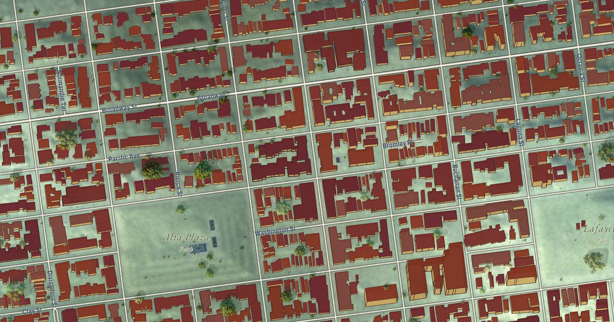
A detailed map of Pacific Heights, California, showing every building in its true location, the roads by name, and shaded topographical relief.
Read More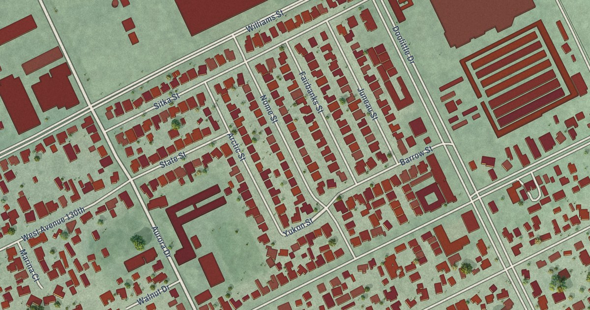
A detailed map of Mulford Gardens, California, showing every building in its true location, the roads by name, and shaded topographical relief.
Read More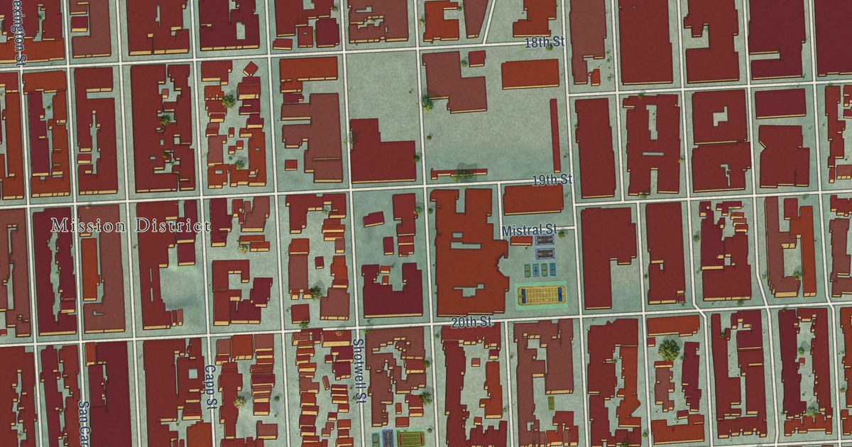
A detailed map of Mission, California, showing every building in its true location, the roads by name, and shaded topographical relief.
Read More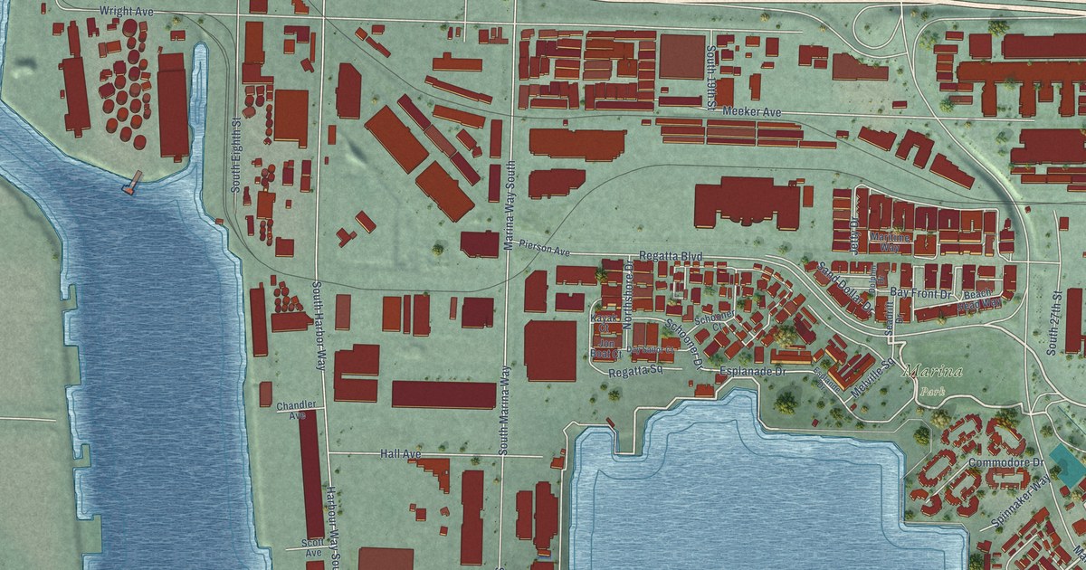
A detailed map of Marina Bay, California, showing every building in its true location, the roads by name, and shaded topographical relief.
Read More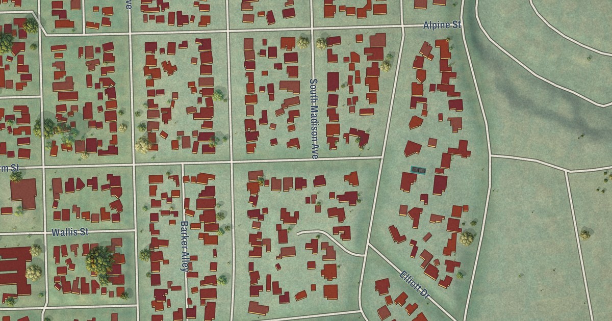
A detailed map of Madison Heights, California, showing every building in its true location, the roads by name, and shaded topographical relief.
Read More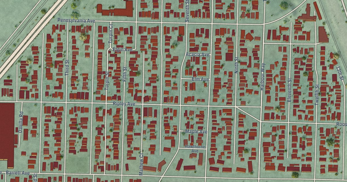
A detailed map of Iron Triangle, California, showing every building in its true location, the roads by name, and shaded topographical relief.
Read More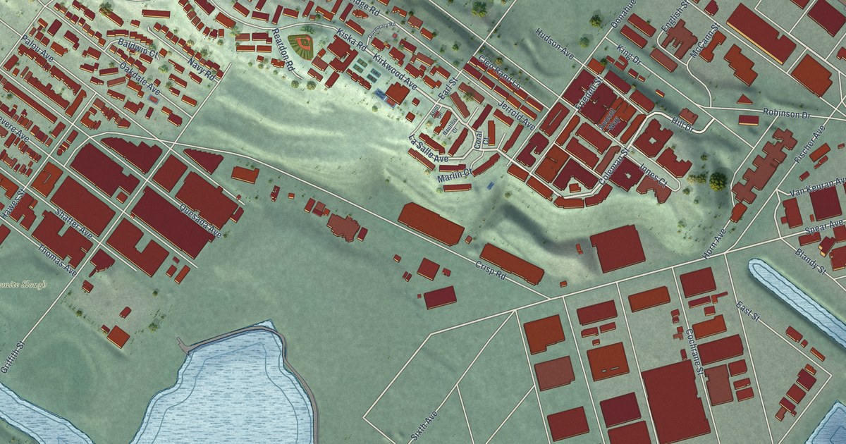
A detailed map of Hunters Point, California, showing every building in its true location, the roads by name, and shaded topographical relief.
Read More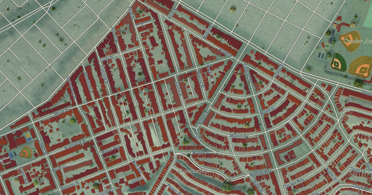
A detailed map of Crocker Amazon, California, showing every building in its true location, the roads by name, and shaded topographical relief.
Read More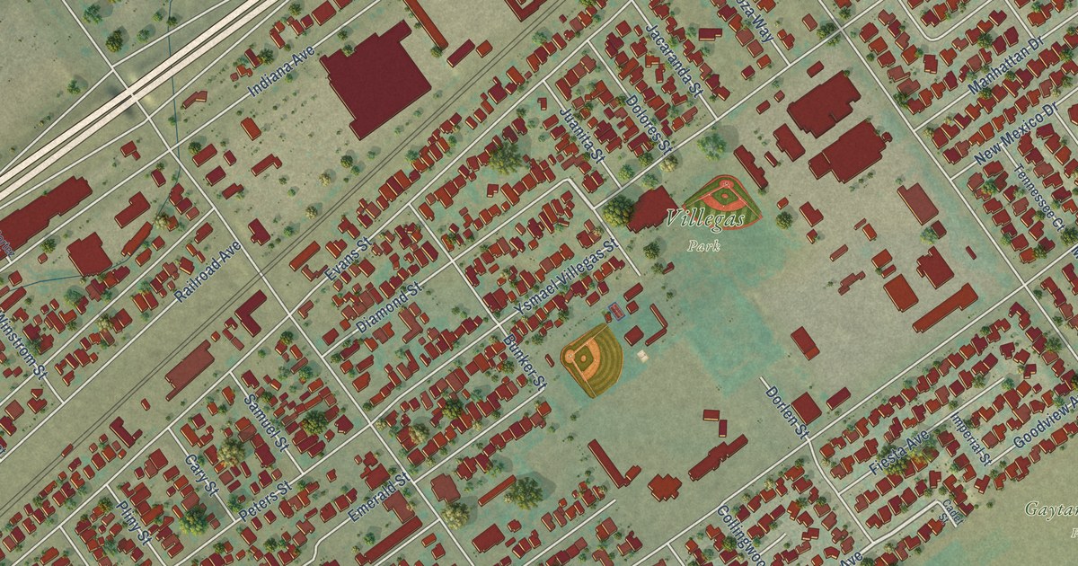
A detailed map of Casa Blanca, California, showing every building in its true location, the roads by name, and shaded topographical relief.
Read More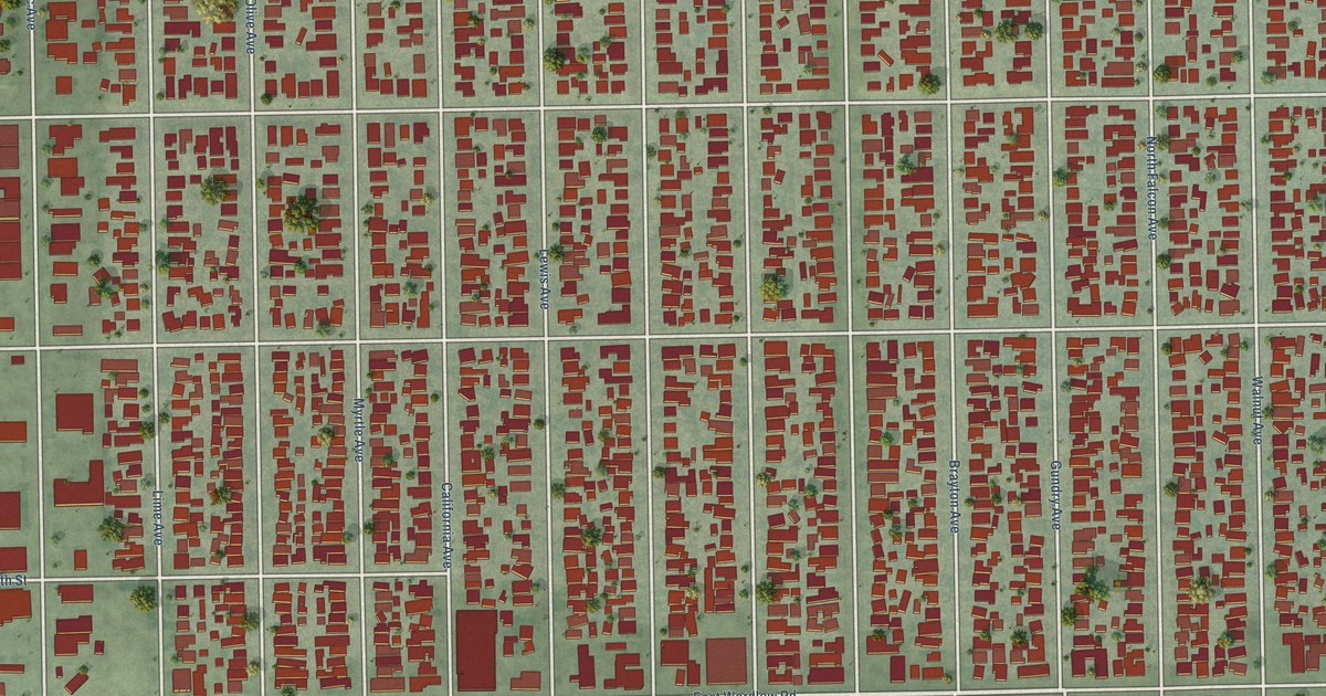
A detailed map of California Heights, California, showing every building in its true location, the roads by name, and shaded topographical relief.
Read More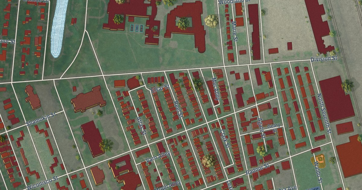
A detailed map of Uptown, Pennsylvania, showing every building in its true location, the roads by name, and shaded topographical relief.
Read More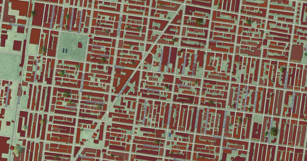
A detailed map of Point Breeze, Pennsylvania, showing every building in its true location, the roads by name, and shaded topographical relief.
Read More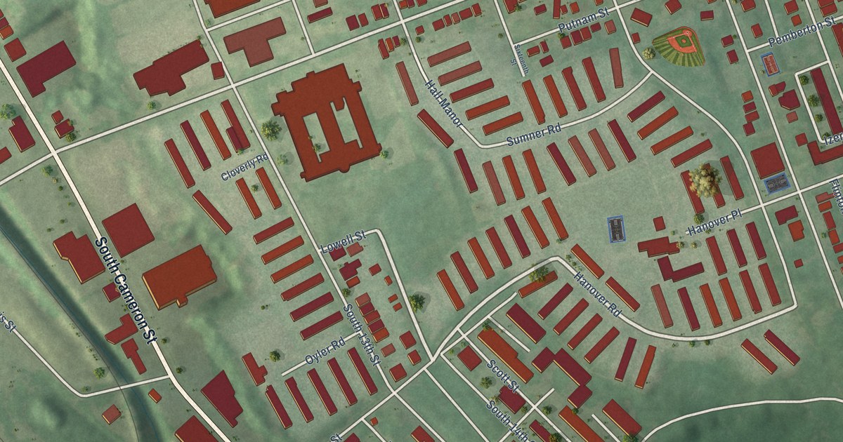
A detailed map of South Harrisburg, Pennsylvania, showing every building in its true location, the roads by name, and shaded topographical relief.
Read More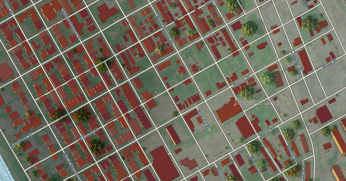
A detailed map of Midtown, Pennsylvania, showing every building in its true location, the roads by name, and shaded topographical relief.
Read More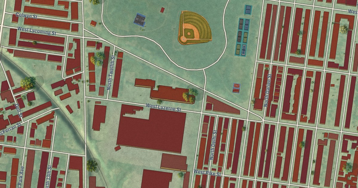
A detailed map of Hunting Park, Pennsylvania, showing every building in its true location, the roads by name, and shaded topographical relief.
Read More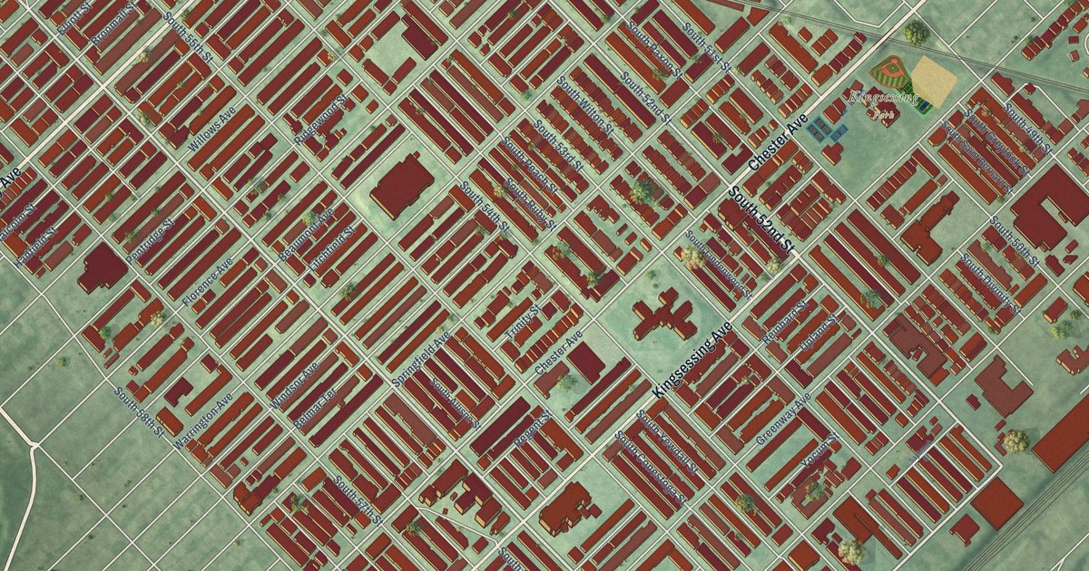
A detailed map of Kingsessing, Pennsylvania, showing every building in its true location, the roads by name, and shaded topographical relief.
Read More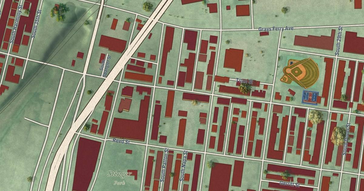
A detailed map of Grays Ferry, Pennsylvania, showing every building in its true location, the roads by name, and shaded topographical relief.
Read More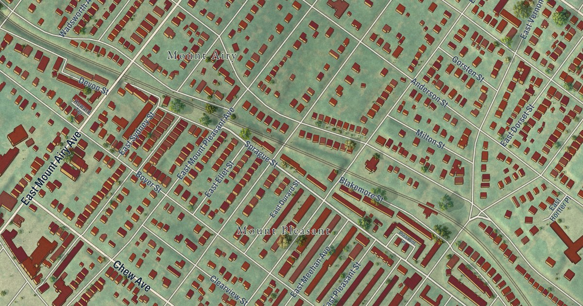
A detailed map of East Mount Airy, Pennsylvania, showing every building in its true location, the roads by name, and shaded topographical relief.
Read More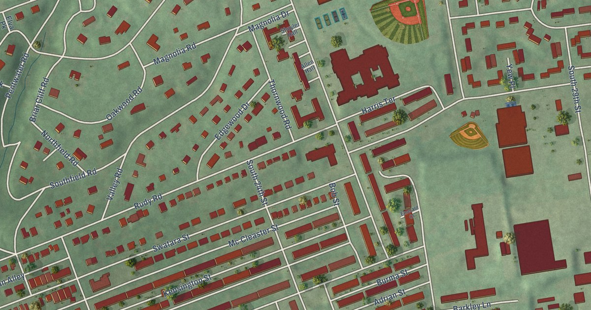
A detailed map of East Harrisburg, Pennsylvania, showing every building in its true location, the roads by name, and shaded topographical relief.
Read More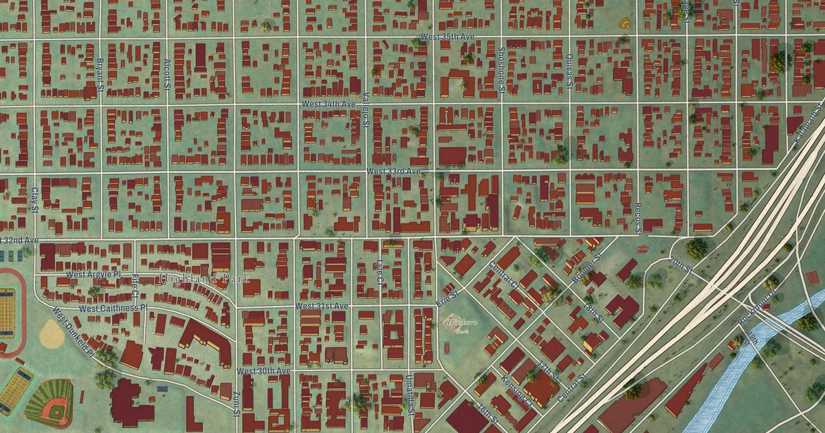
A detailed map of Highland, Colorado, showing every building in its true location, the roads by name, and shaded topographical relief.
Read More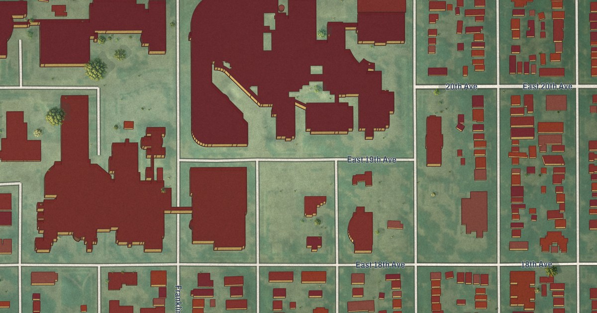
A detailed map of City Park West, Colorado, showing every building in its true location, the roads by name, and shaded topographical relief.
Read More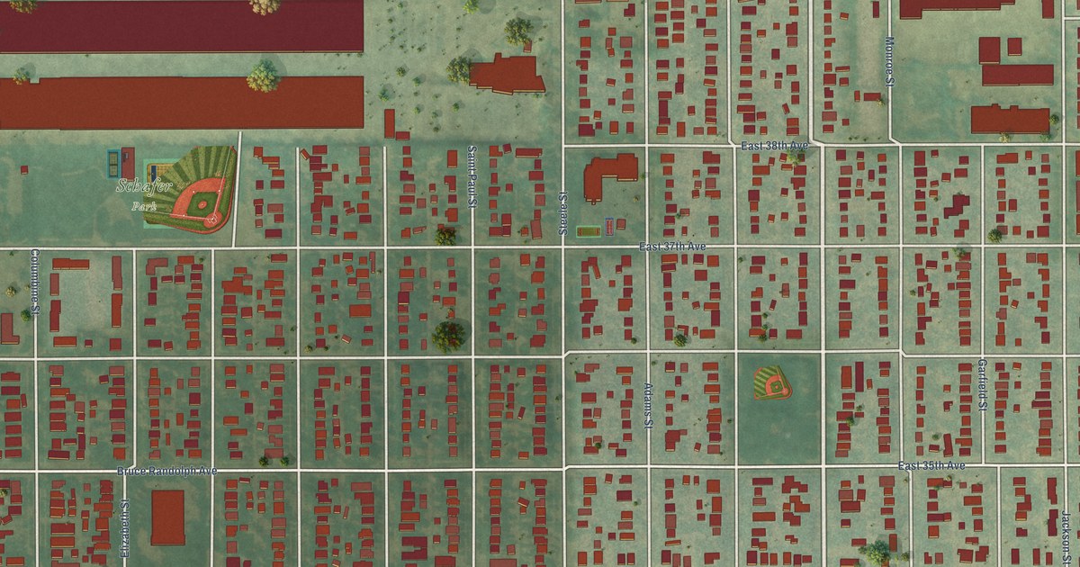
A detailed map of Clayton, Colorado, showing every building in its true location, the roads by name, and shaded topographical relief.
Read More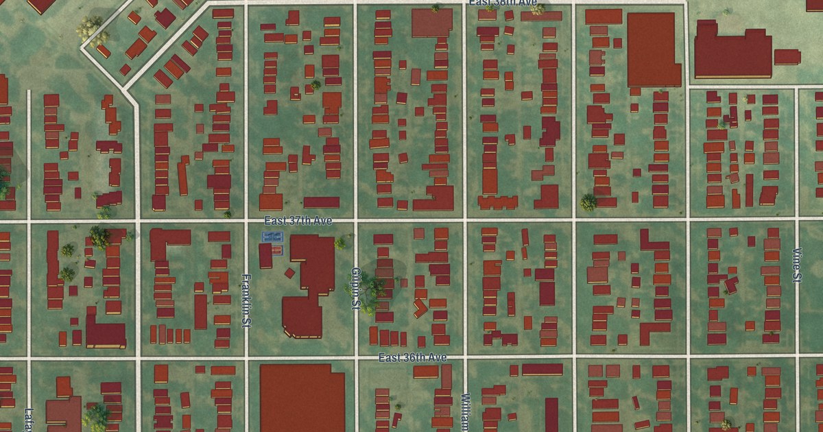
A detailed map of Cole, Colorado, showing every building in its true location, the roads by name, and shaded topographical relief.
Read More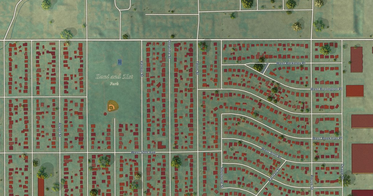
A detailed map of Chaffee Park, Colorado, showing every building in its true location, the roads by name, and shaded topographical relief.
Read More















