Detailed Map of Wynwood, Florida
A detailed map of Wynwood, Florida, showing every building in its true location, the roads by name, and shaded topographical relief.
Read More
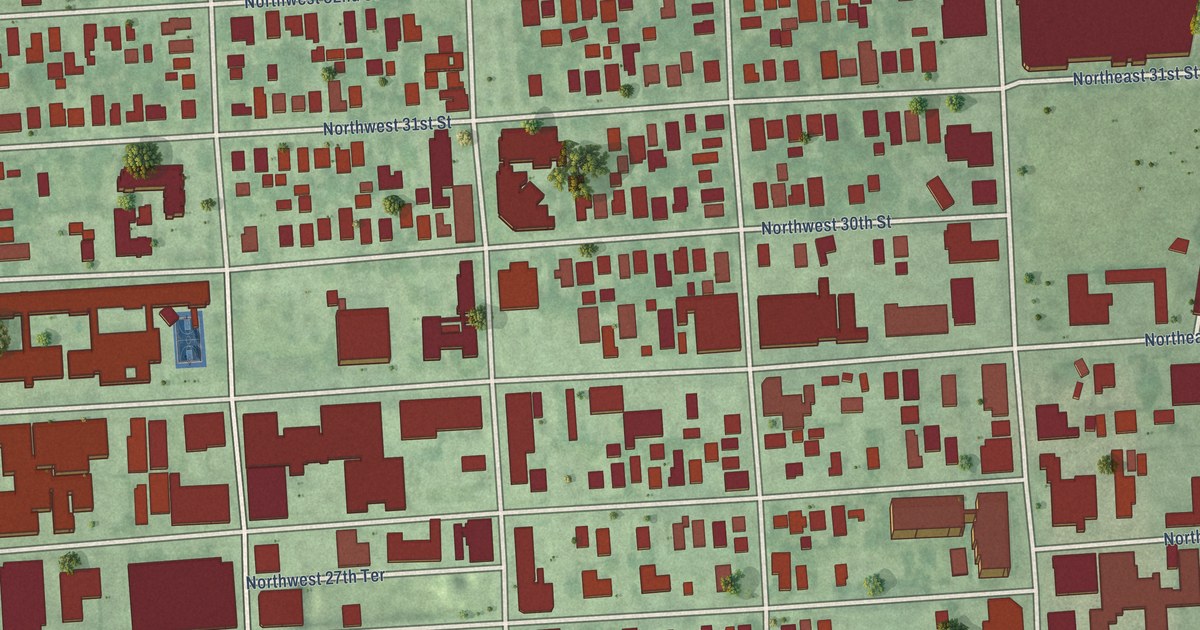
A detailed map of Wynwood, Florida, showing every building in its true location, the roads by name, and shaded topographical relief.
Read More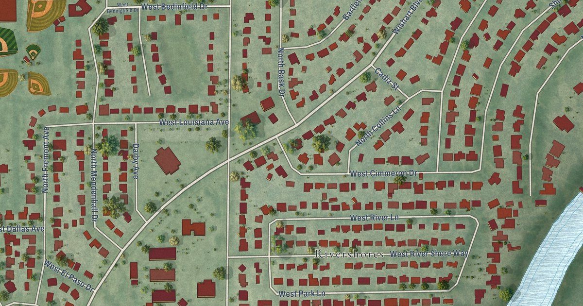
A detailed map of Wellswood, Florida, showing every building in its true location, the roads by name, and shaded topographical relief.
Read More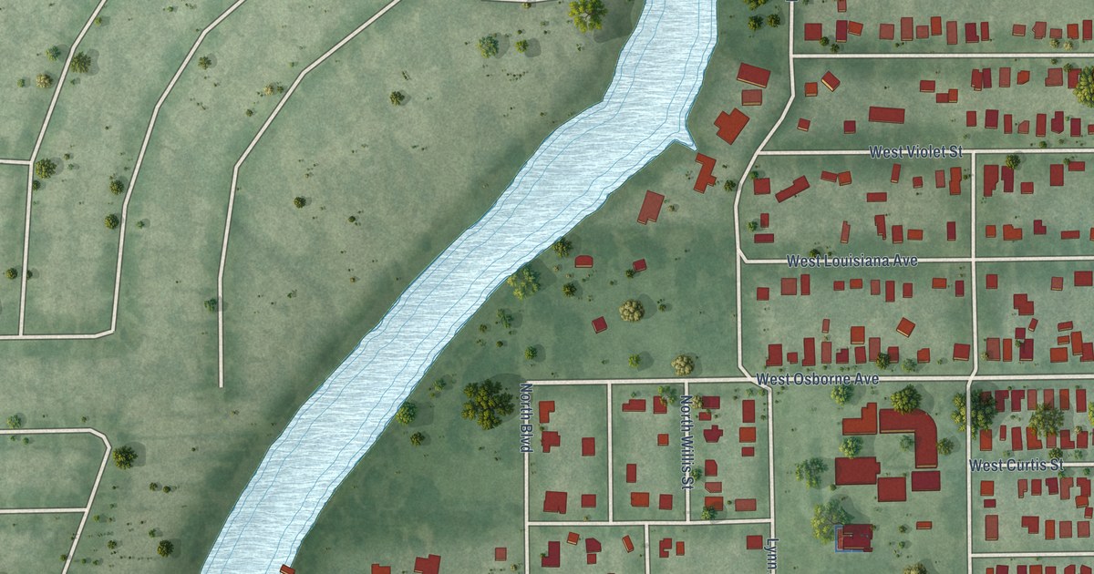
A detailed map of South Seminole Heights, Florida, showing every building in its true location, the roads by name, and shaded topographical relief.
Read More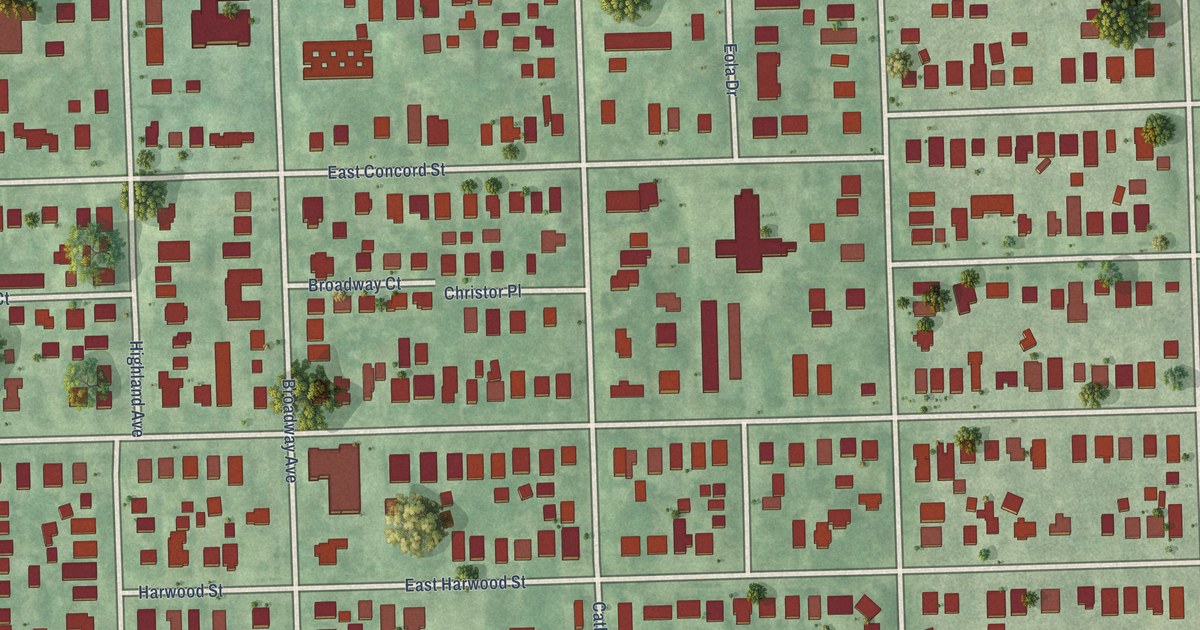
A detailed map of Lake Eola Heights, Florida, showing every building in its true location, the roads by name, and shaded topographical relief.
Read More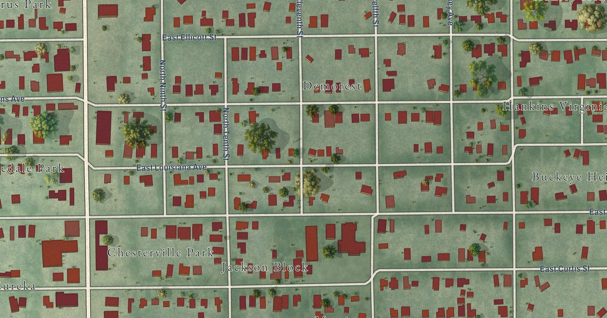
A detailed map of Southeast Seminole Heights, Florida, showing every building in its true location, the roads by name, and shaded topographical relief.
Read More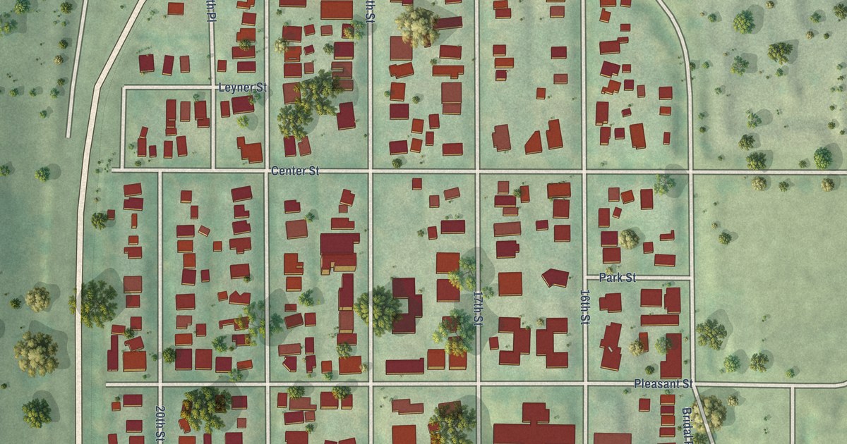
A detailed map of Sherman Hill, Iowa, showing every building in its true location, the roads by name, and shaded topographical relief.
Read More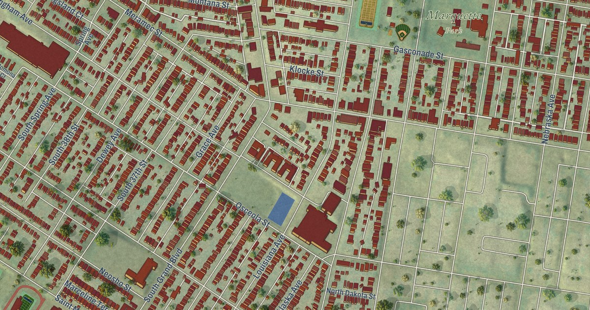
A detailed map of Dutchtown, Missouri, showing every building in its true location, the roads by name, and shaded topographical relief.
Read More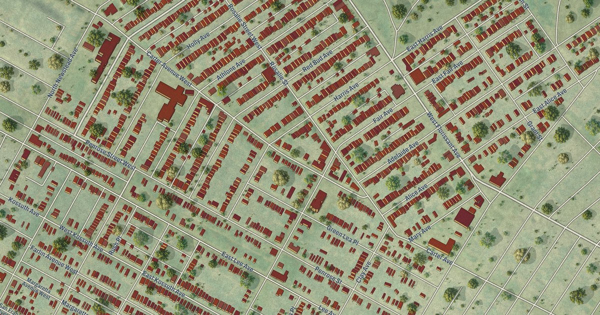
A detailed map of O’Fallon, Missouri, showing every building in its true location, the roads by name, and shaded topographical relief.
Read More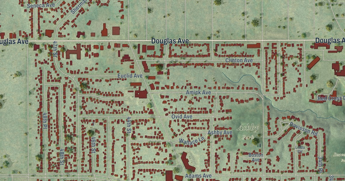
A detailed map of Beaverdale, Iowa, showing every building in its true location, the roads by name, and shaded topographical relief.
Read More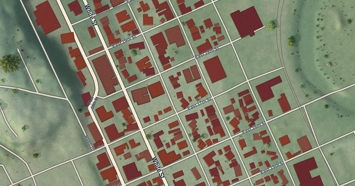
A detailed map of Washington Neighborhood, Iowa, showing every building in its true location, the roads by name, and shaded topographical relief.
Read More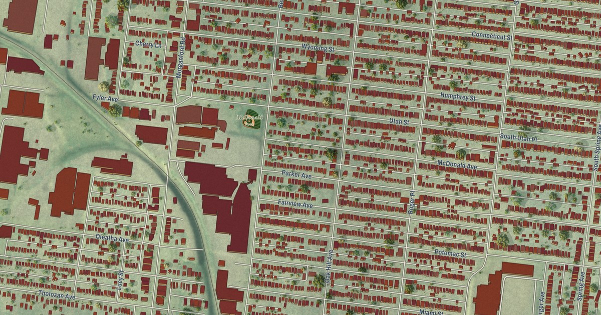
A detailed map of Tower Grove South, Missouri, showing every building in its true location, the roads by name, and shaded topographical relief.
Read More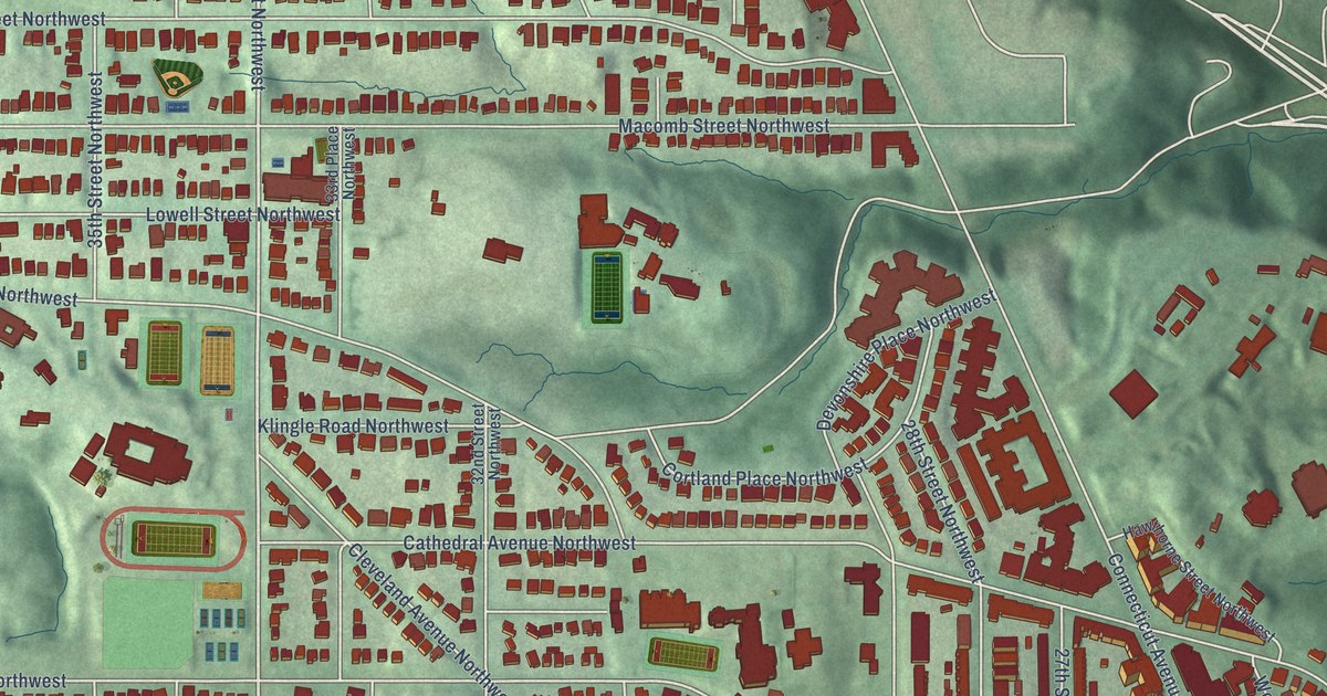
A detailed map of Woodley Park, District of Columbia, showing every building in its true location, the roads by name, and shaded topographical relief.
Read More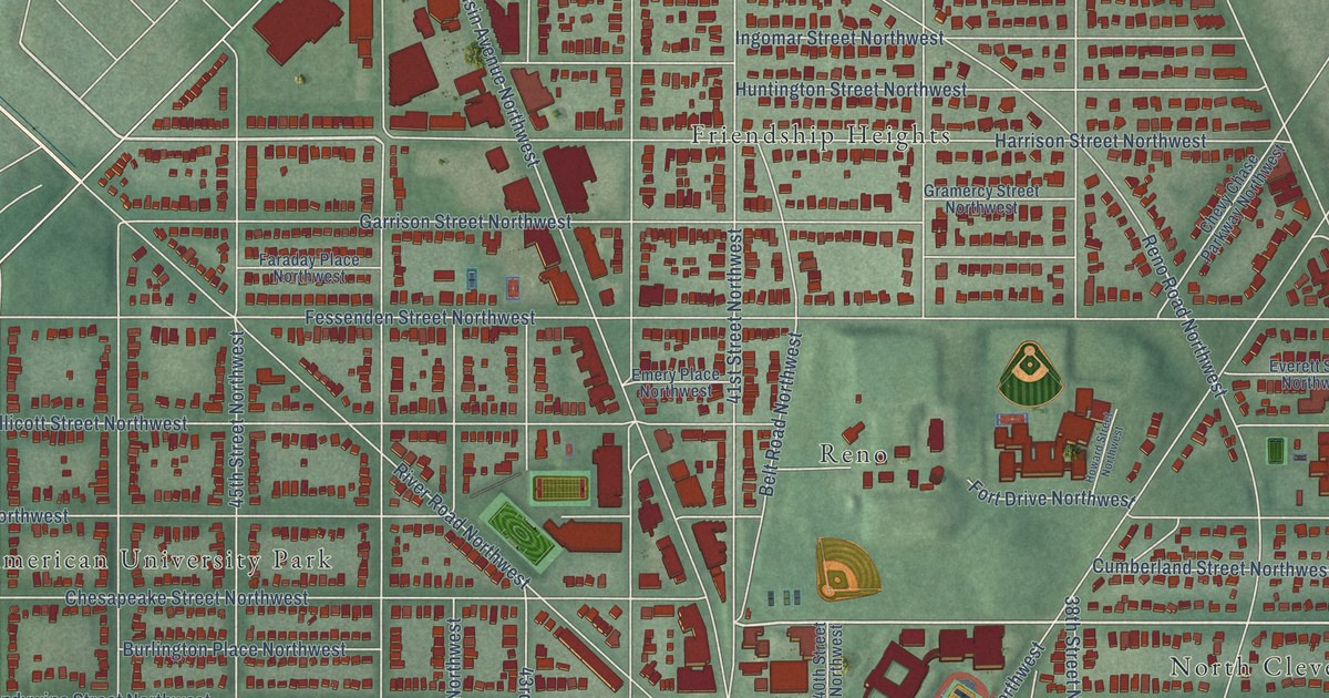
A detailed map of Tenleytown, District of Columbia, showing every building in its true location, the roads by name, and shaded topographical relief.
Read More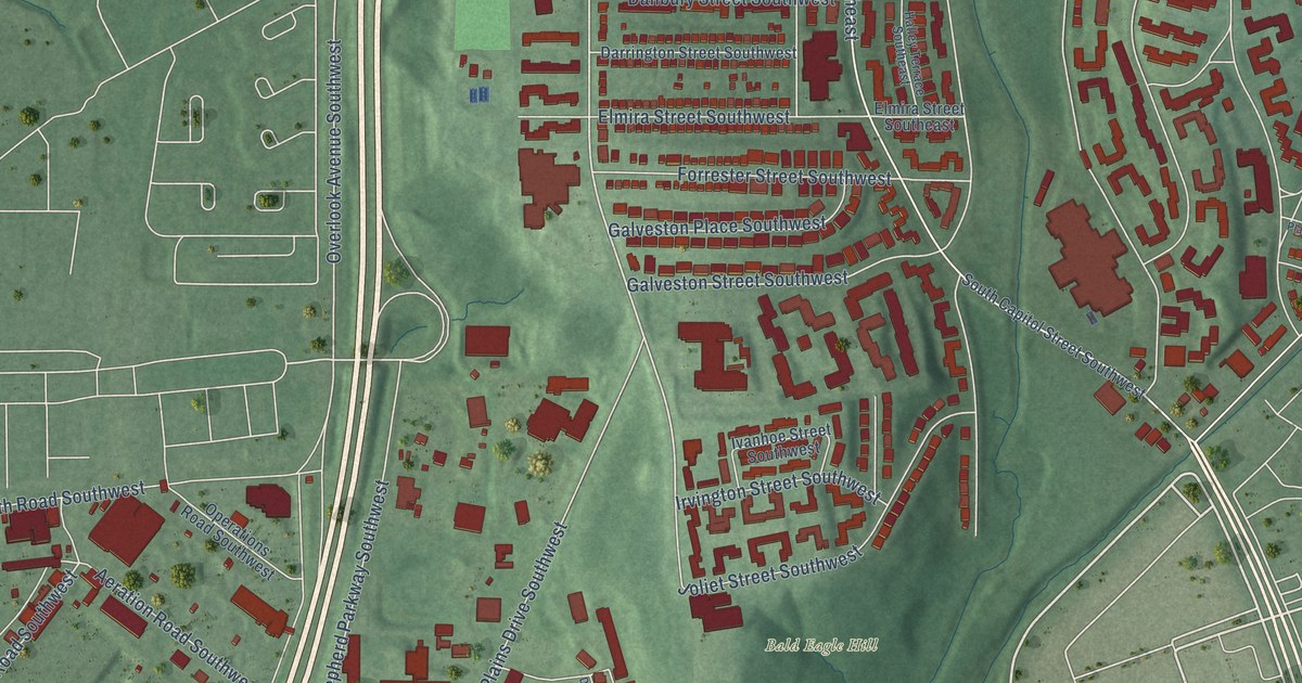
A detailed map of Bellevue, District of Columbia, showing every building in its true location, the roads by name, and shaded topographical relief.
Read More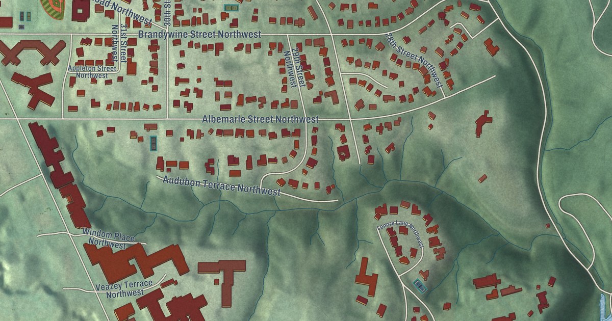
A detailed map of Forest Hills, District of Columbia, showing every building in its true location, the roads by name, and shaded topographical relief.
Read More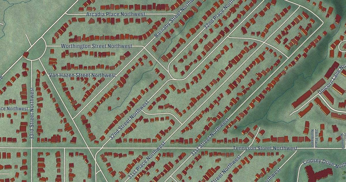
A detailed map of Barnaby Woods, District of Columbia, showing every building in its true location, the roads by name, and shaded topographical relief.
Read More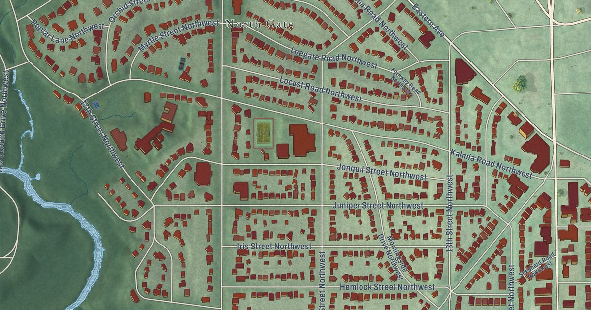
A detailed map of Shepherd Park, District of Columbia, showing every building in its true location, the roads by name, and shaded topographical relief.
Read More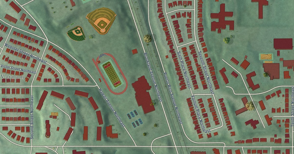
A detailed map of Michigan Park, District of Columbia, showing every building in its true location, the roads by name, and shaded topographical relief.
Read More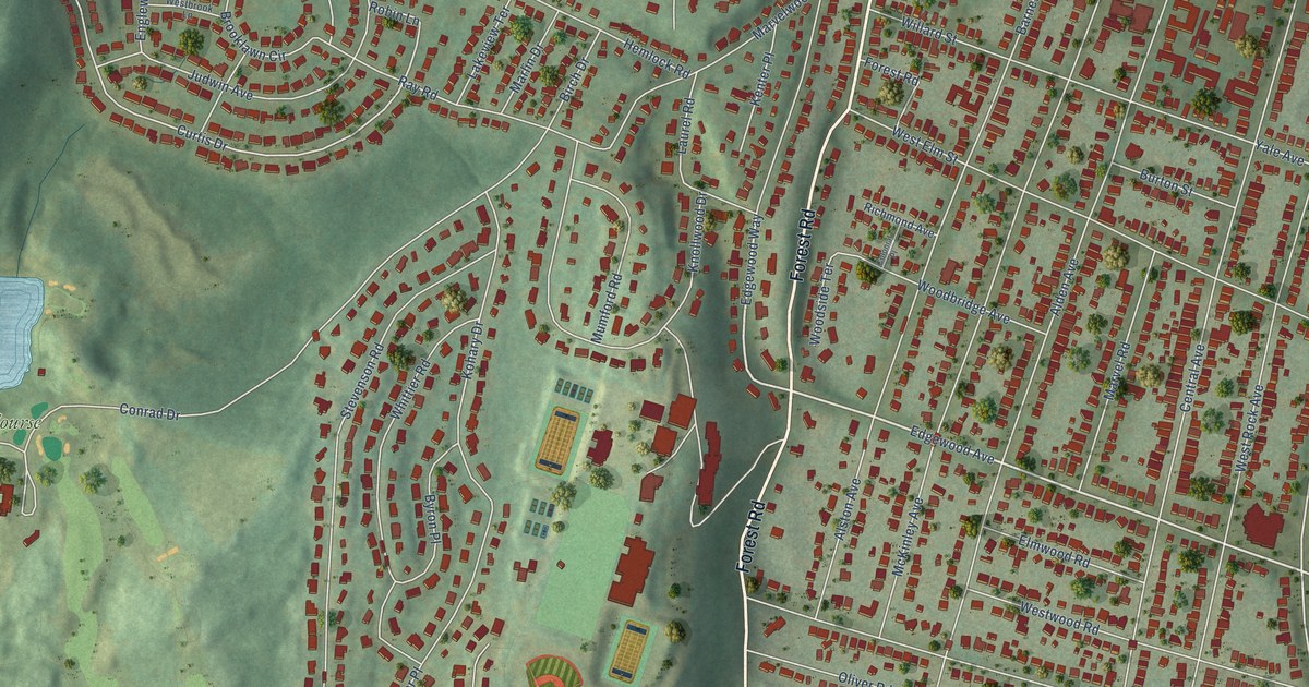
A detailed map of Westville, Connecticut, showing every building in its true location, the roads by name, and shaded topographical relief.
Read More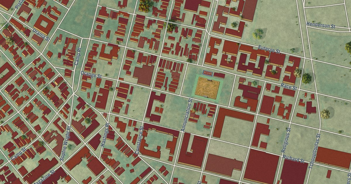
A detailed map of Lower Garden District, Louisiana, showing every building in its true location, the roads by name, and shaded topographical relief.
Read More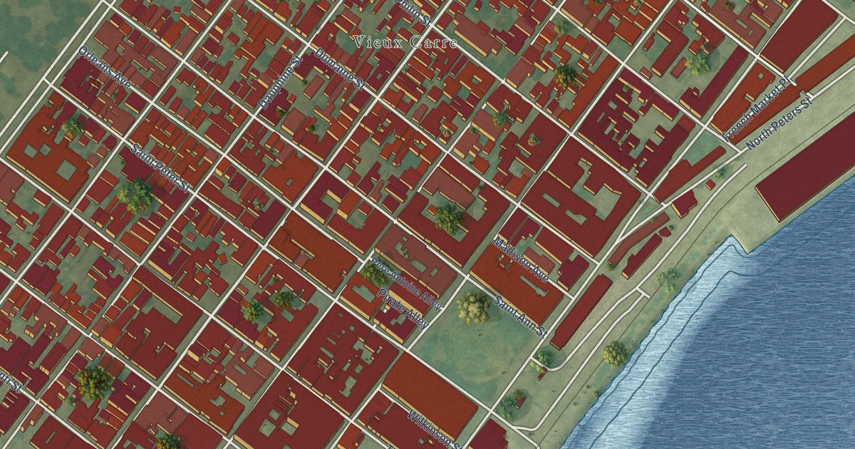
A detailed map of French Quarter, Louisiana, showing every building in its true location, the roads by name, and shaded topographical relief.
Read More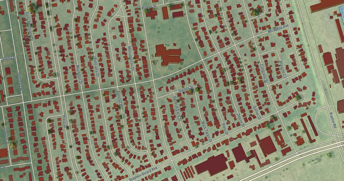
A detailed map of Gentilly Woods, Louisiana, showing every building in its true location, the roads by name, and shaded topographical relief.
Read More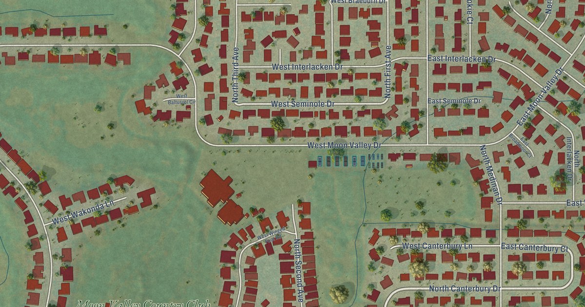
A detailed map of Moon Valley, Arizona, showing every building in its true location, the roads by name, and shaded topographical relief.
Read More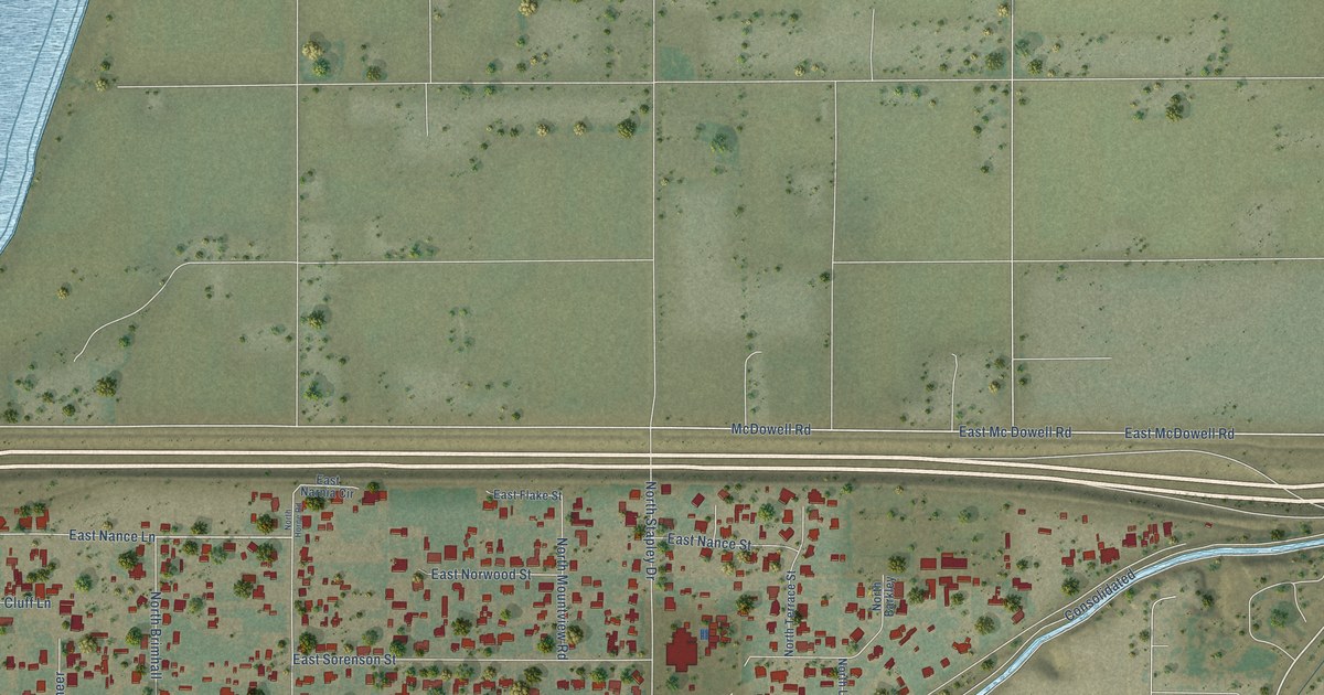
A detailed map of Lehi, Arizona, showing every building in its true location, the roads by name, and shaded topographical relief.
Read More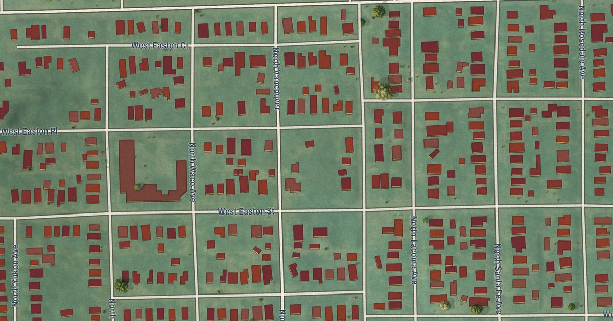
A detailed map of Owen Park, Oklahoma, showing every building in its true location, the roads by name, and shaded topographical relief.
Read More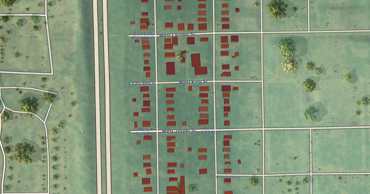
A detailed map of The Heights, Oklahoma, showing every building in its true location, the roads by name, and shaded topographical relief.
Read More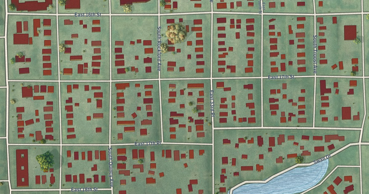
A detailed map of Swan Lake, Oklahoma, showing every building in its true location, the roads by name, and shaded topographical relief.
Read More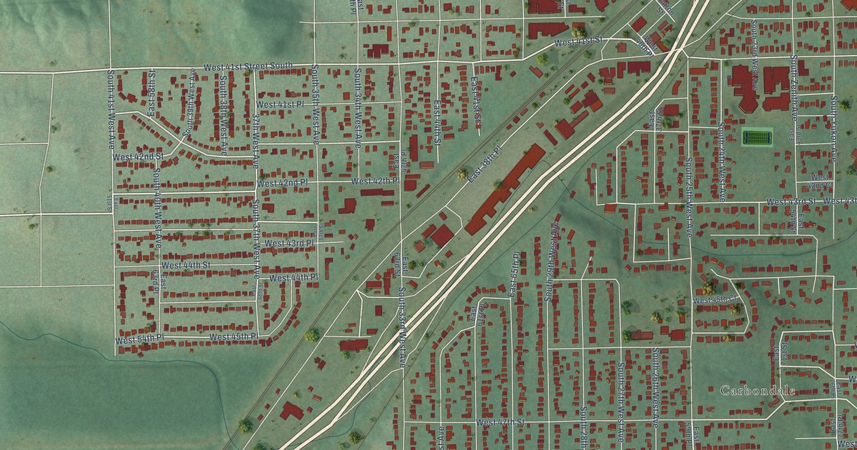
A detailed map of Red Fork, Oklahoma, showing every building in its true location, the roads by name, and shaded topographical relief.
Read More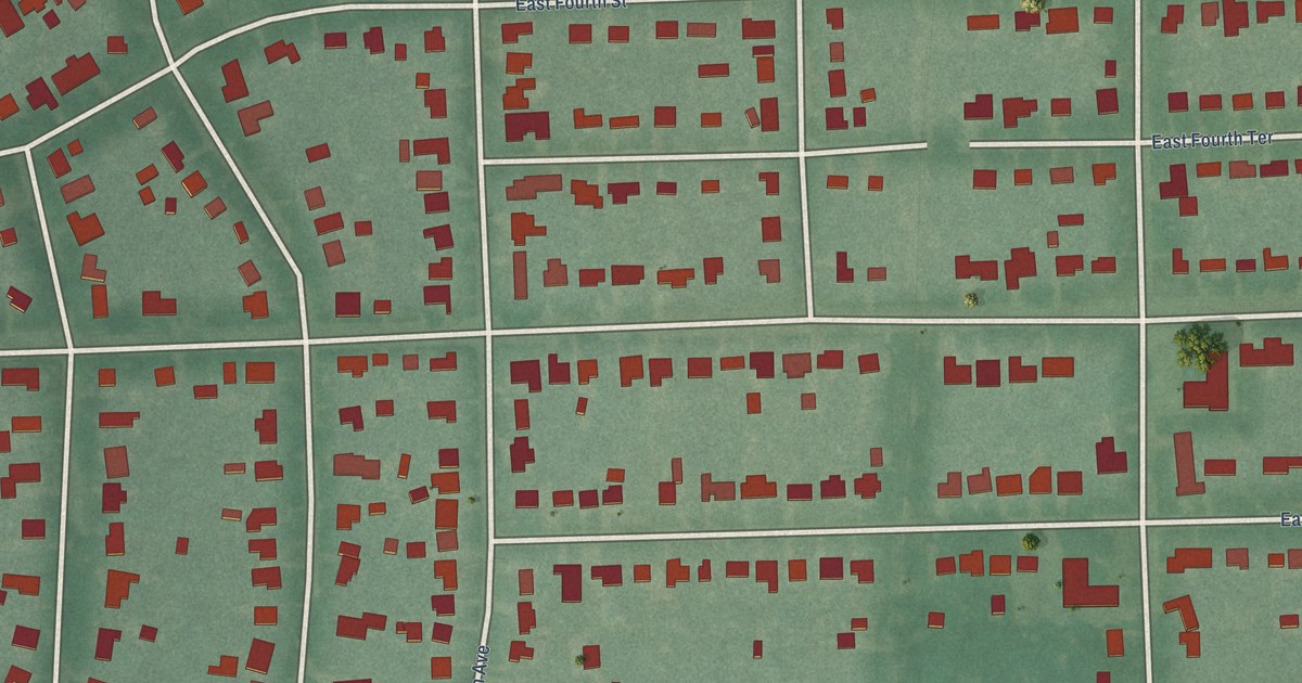
A detailed map of White City, Oklahoma, showing every building in its true location, the roads by name, and shaded topographical relief.
Read More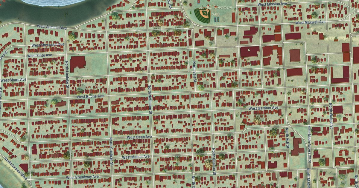
A detailed map of West Central, Washington, showing every building in its true location, the roads by name, and shaded topographical relief.
Read More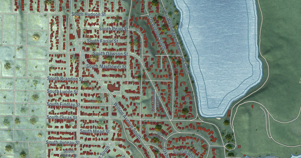
A detailed map of Seward Park, Washington, showing every building in its true location, the roads by name, and shaded topographical relief.
Read More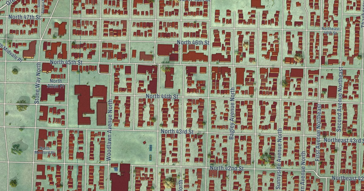
A detailed map of Wallingford, Washington, showing every building in its true location, the roads by name, and shaded topographical relief.
Read More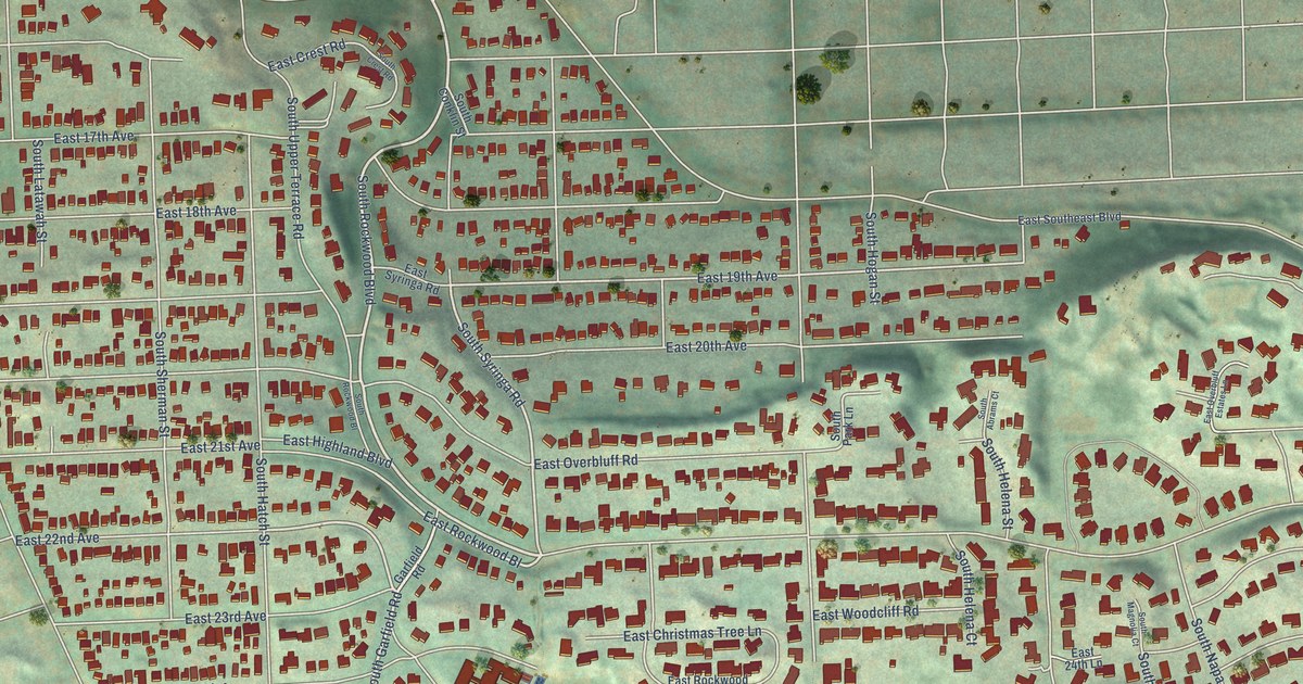
A detailed map of Rockwood, Washington, showing every building in its true location, the roads by name, and shaded topographical relief.
Read More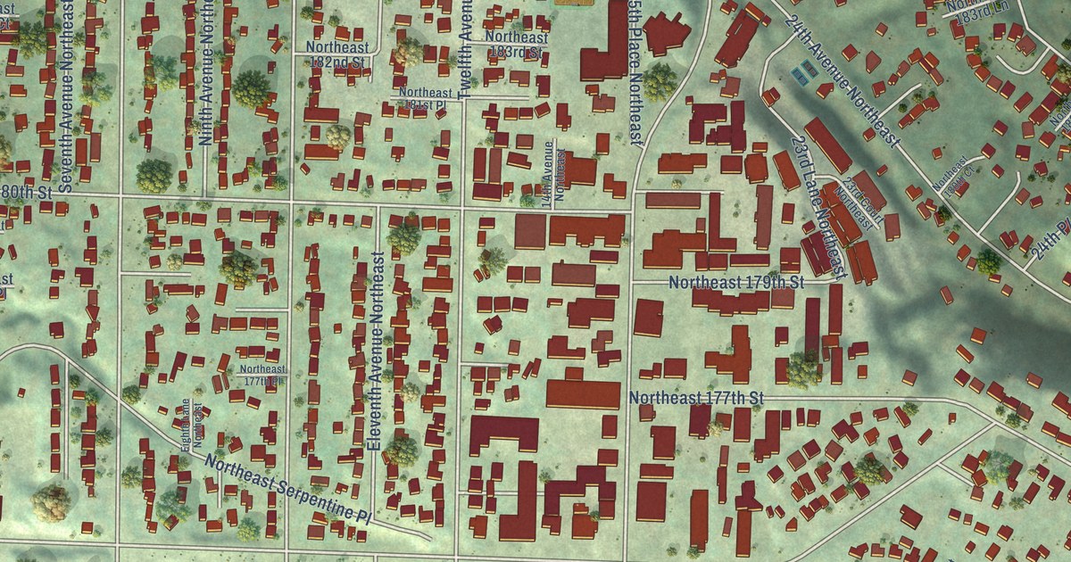
A detailed map of North City, Washington, showing every building in its true location, the roads by name, and shaded topographical relief.
Read More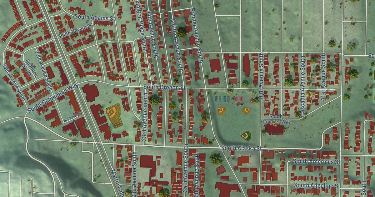
A detailed map of Columbia City, Washington, showing every building in its true location, the roads by name, and shaded topographical relief.
Read More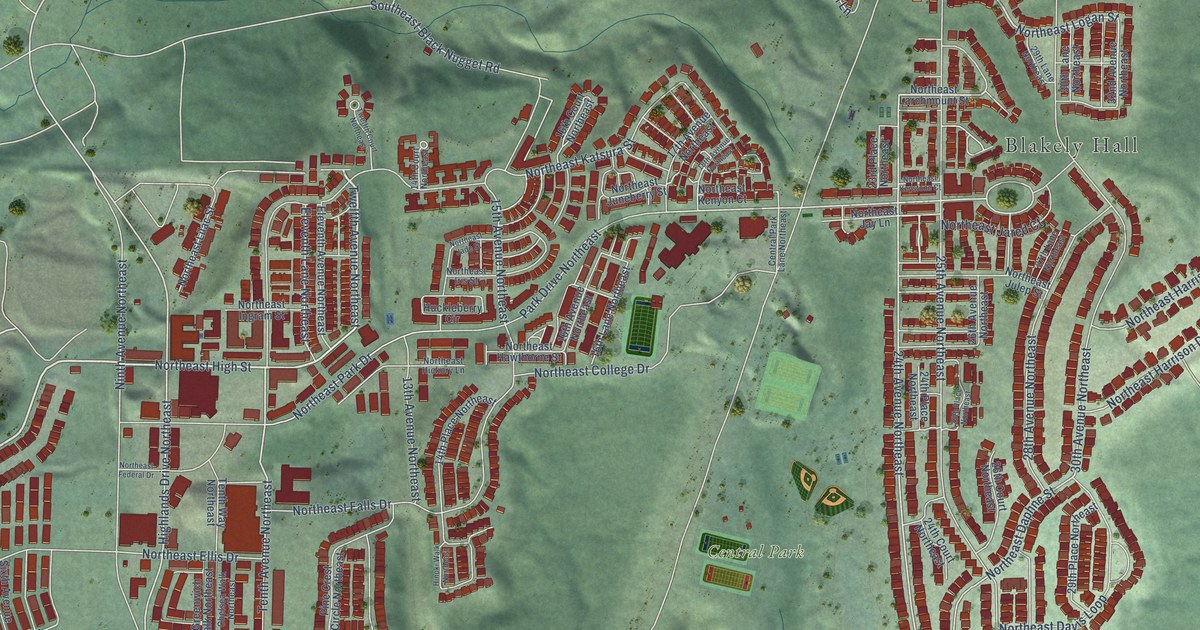
A detailed map of Issaquah Highlands, Washington, showing every building in its true location, the roads by name, and shaded topographical relief.
Read More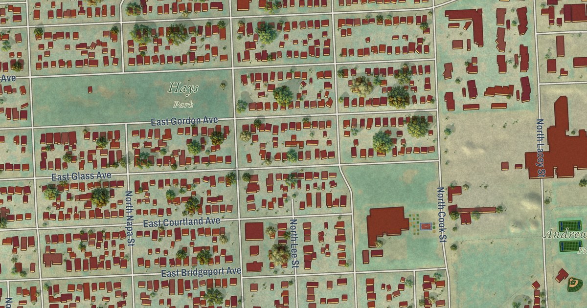
A detailed map of Bemiss, Washington, showing every building in its true location, the roads by name, and shaded topographical relief.
Read More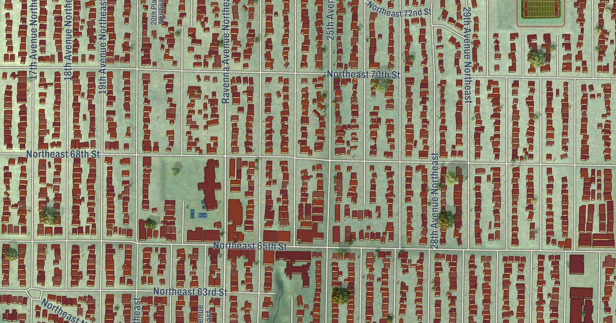
A detailed map of Ravenna, Washington, showing every building in its true location, the roads by name, and shaded topographical relief.
Read More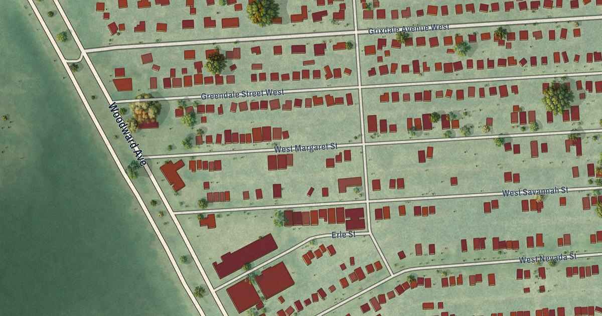
A detailed map of Grixdale Farms, Michigan, showing every building in its true location, the roads by name, and shaded topographical relief.
Read More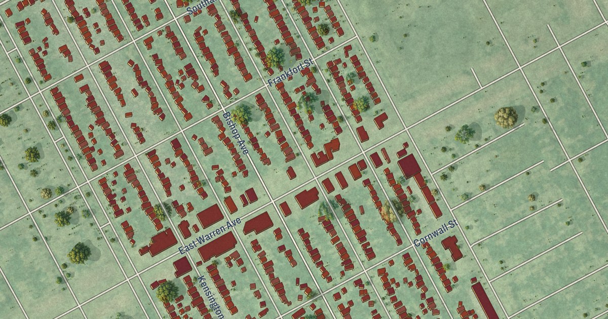
A detailed map of East English Village, Michigan, showing every building in its true location, the roads by name, and shaded topographical relief.
Read More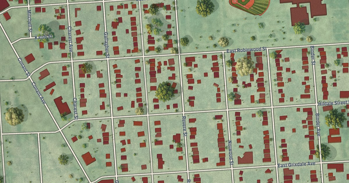
A detailed map of Conant Gardens, Michigan, showing every building in its true location, the roads by name, and shaded topographical relief.
Read More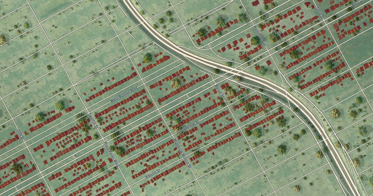
A detailed map of Boston Edison, Michigan, showing every building in its true location, the roads by name, and shaded topographical relief.
Read More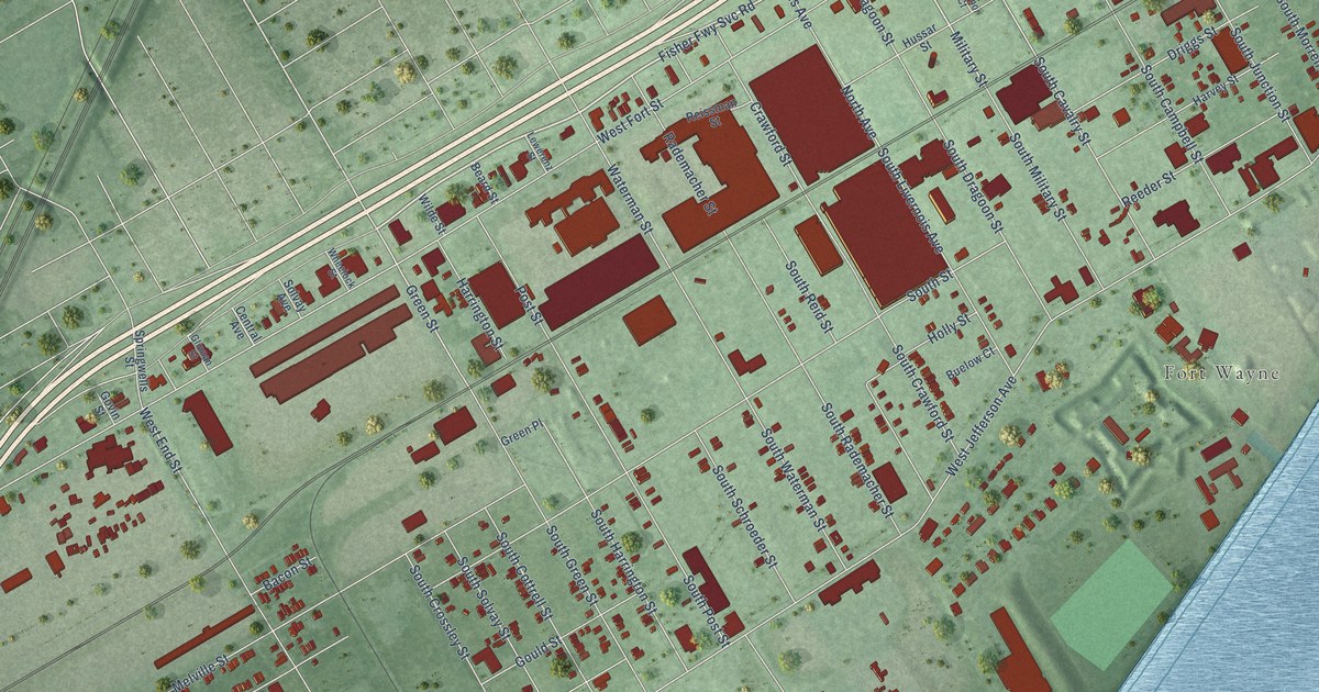
A detailed map of Delray, Michigan, showing every building in its true location, the roads by name, and shaded topographical relief.
Read More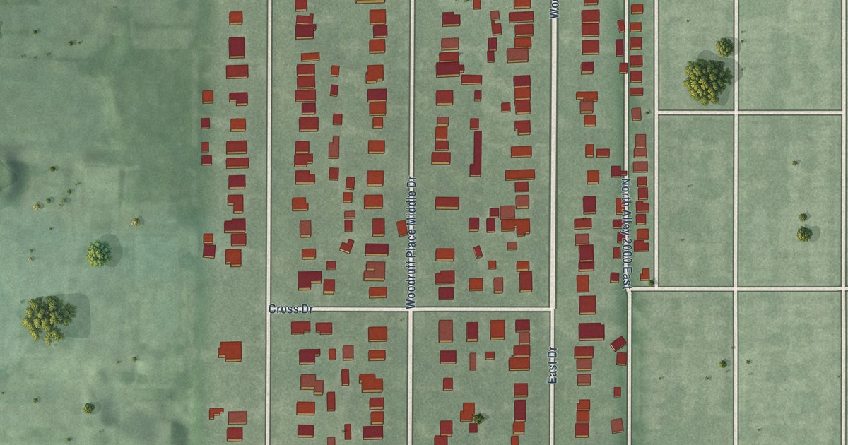
A detailed map of Woodruff Place, Indiana, showing every building in its true location, the roads by name, and shaded topographical relief.
Read More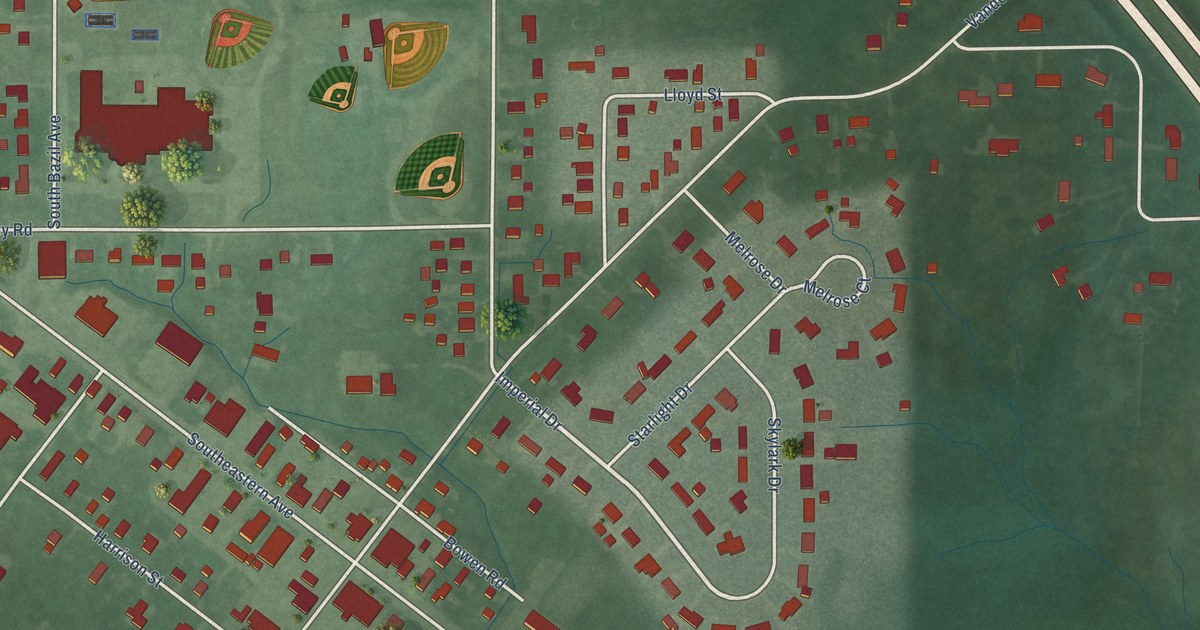
A detailed map of Wanamaker, Indiana, showing every building in its true location, the roads by name, and shaded topographical relief.
Read More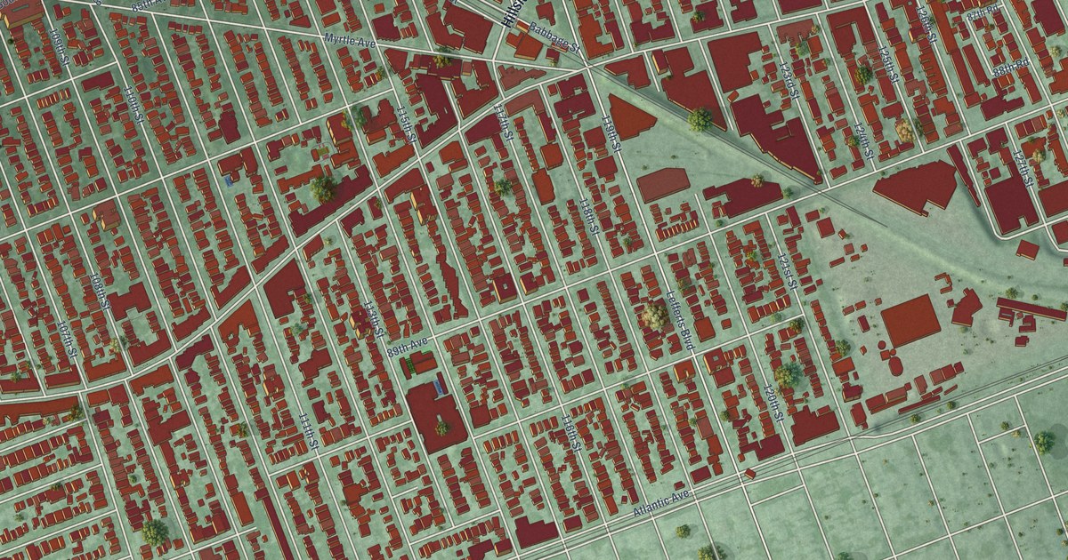
A detailed map of Richmond Hill, New York, showing every building in its true location, the roads by name, and shaded topographical relief.
Read More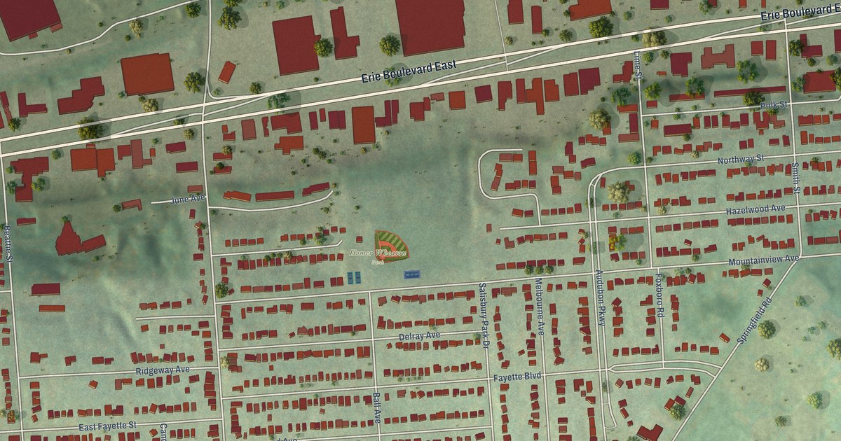
A detailed map of Salt Springs, New York, showing every building in its true location, the roads by name, and shaded topographical relief.
Read More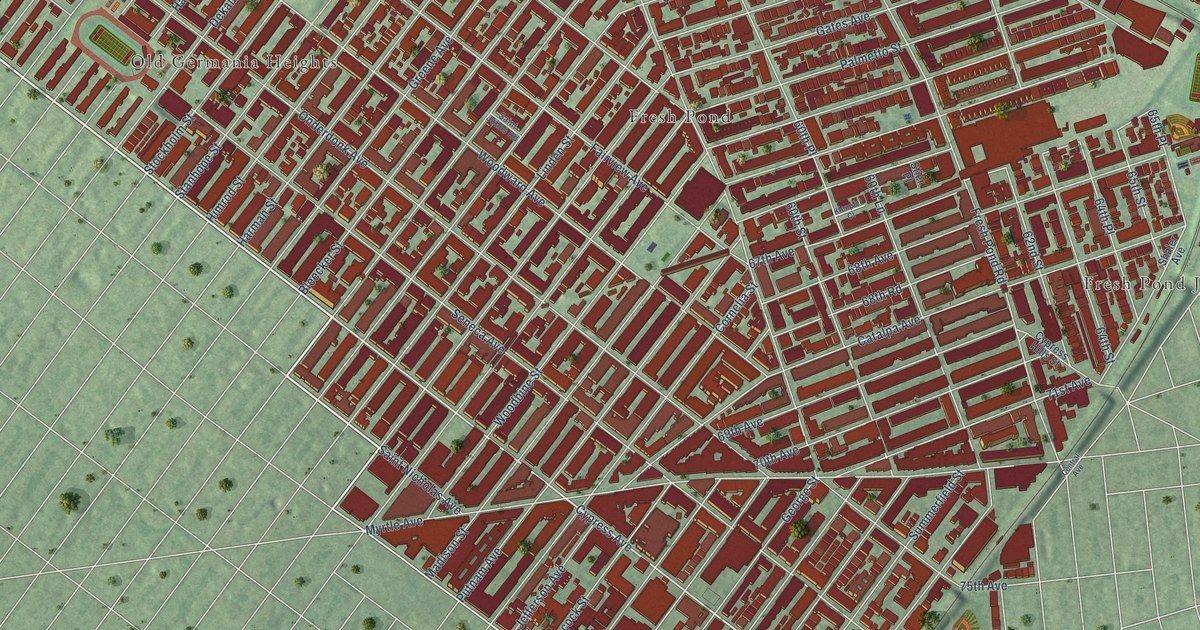
A detailed map of Ridgewood, New York, showing every building in its true location, the roads by name, and shaded topographical relief.
Read More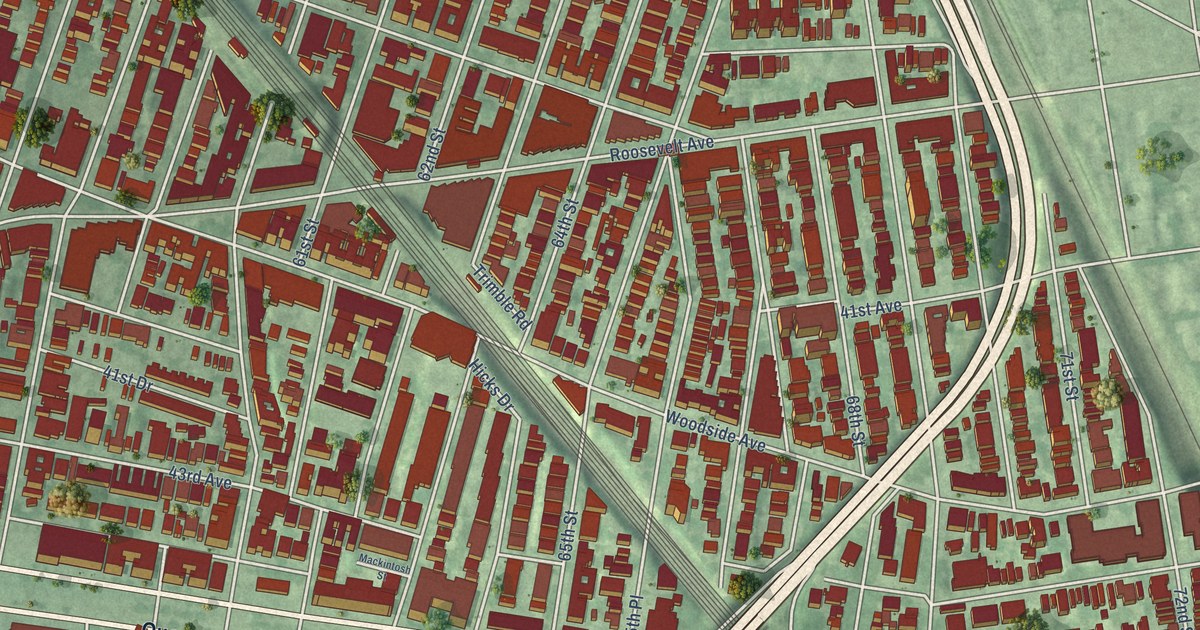
A detailed map of Woodside, New York, showing every building in its true location, the roads by name, and shaded topographical relief.
Read More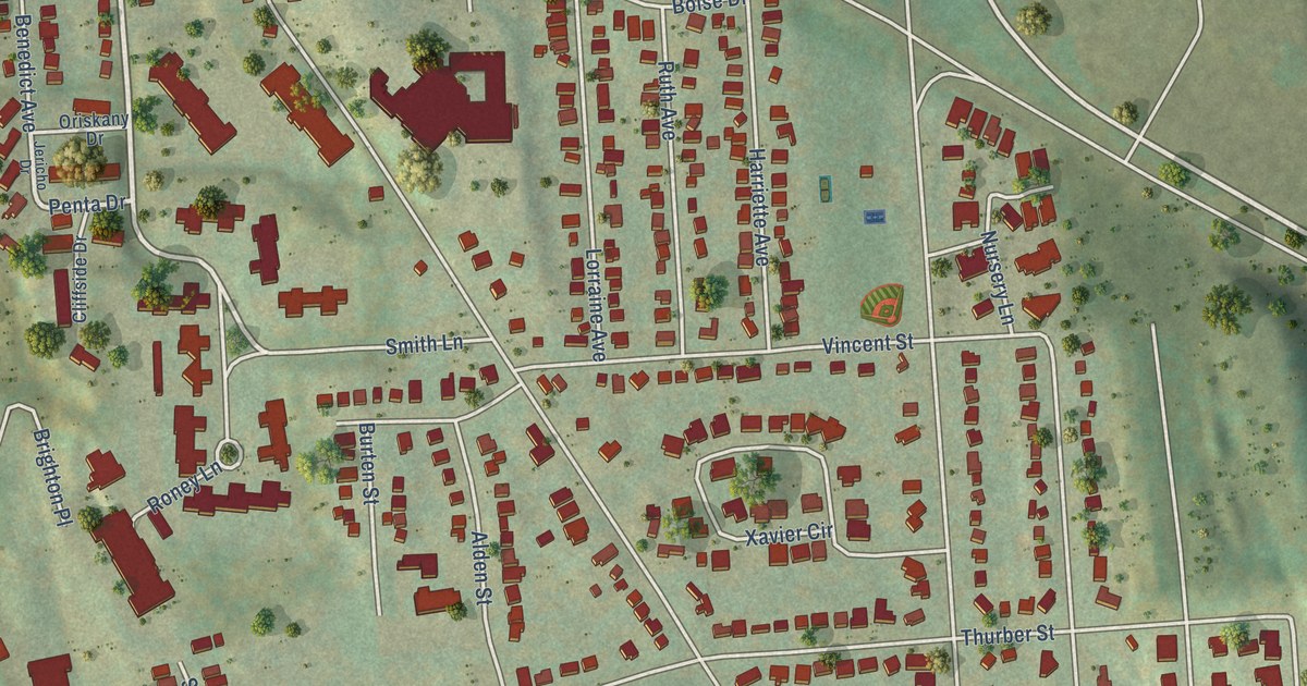
A detailed map of Outer Comstock, New York, showing every building in its true location, the roads by name, and shaded topographical relief.
Read More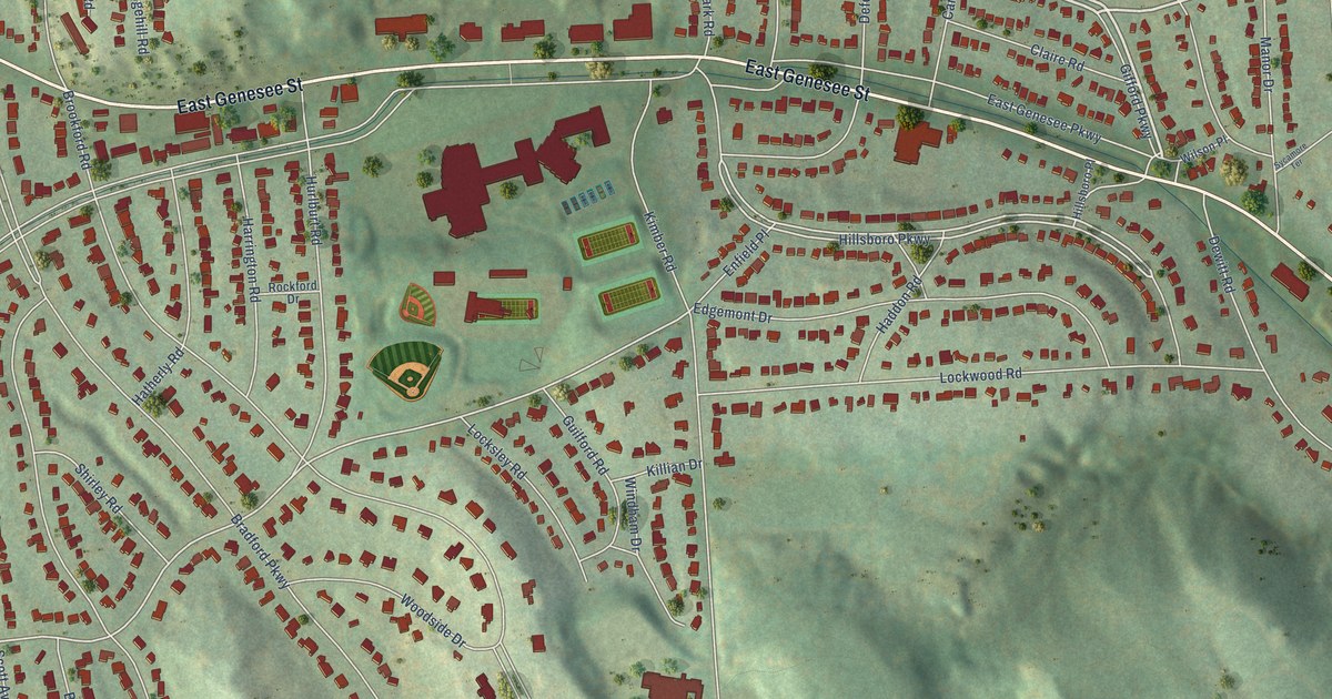
A detailed map of Meadowbrook, New York, showing every building in its true location, the roads by name, and shaded topographical relief.
Read More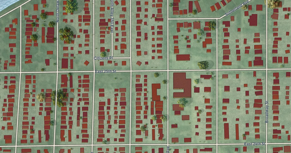
A detailed map of Fall Creek Place, Indiana, showing every building in its true location, the roads by name, and shaded topographical relief.
Read More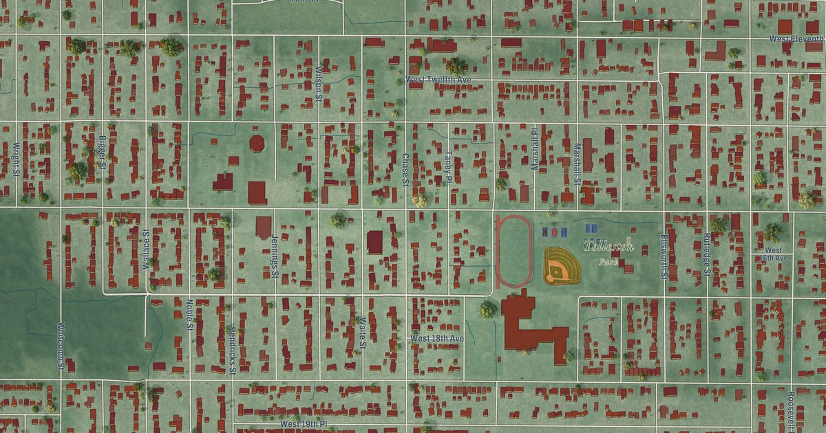
A detailed map of Tolleston, Indiana, showing every building in its true location, the roads by name, and shaded topographical relief.
Read More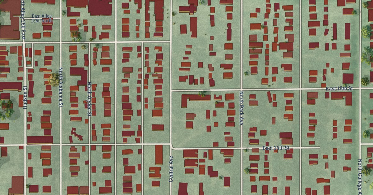
A detailed map of Old Northside, Indiana, showing every building in its true location, the roads by name, and shaded topographical relief.
Read More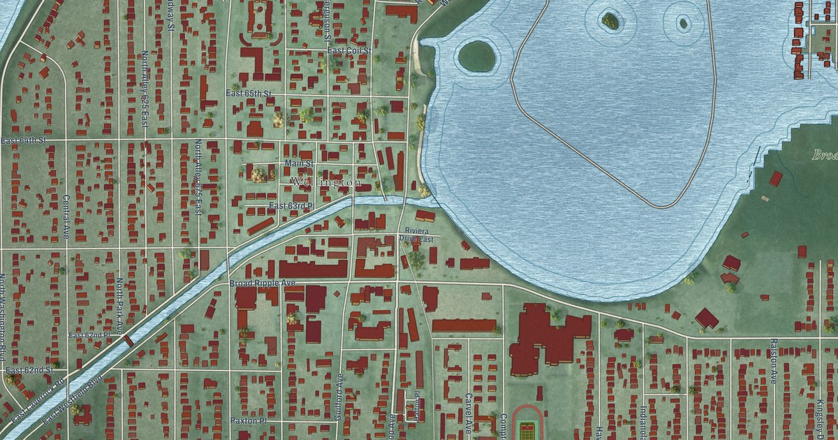
A detailed map of Broad Ripple, Indiana, showing every building in its true location, the roads by name, and shaded topographical relief.
Read More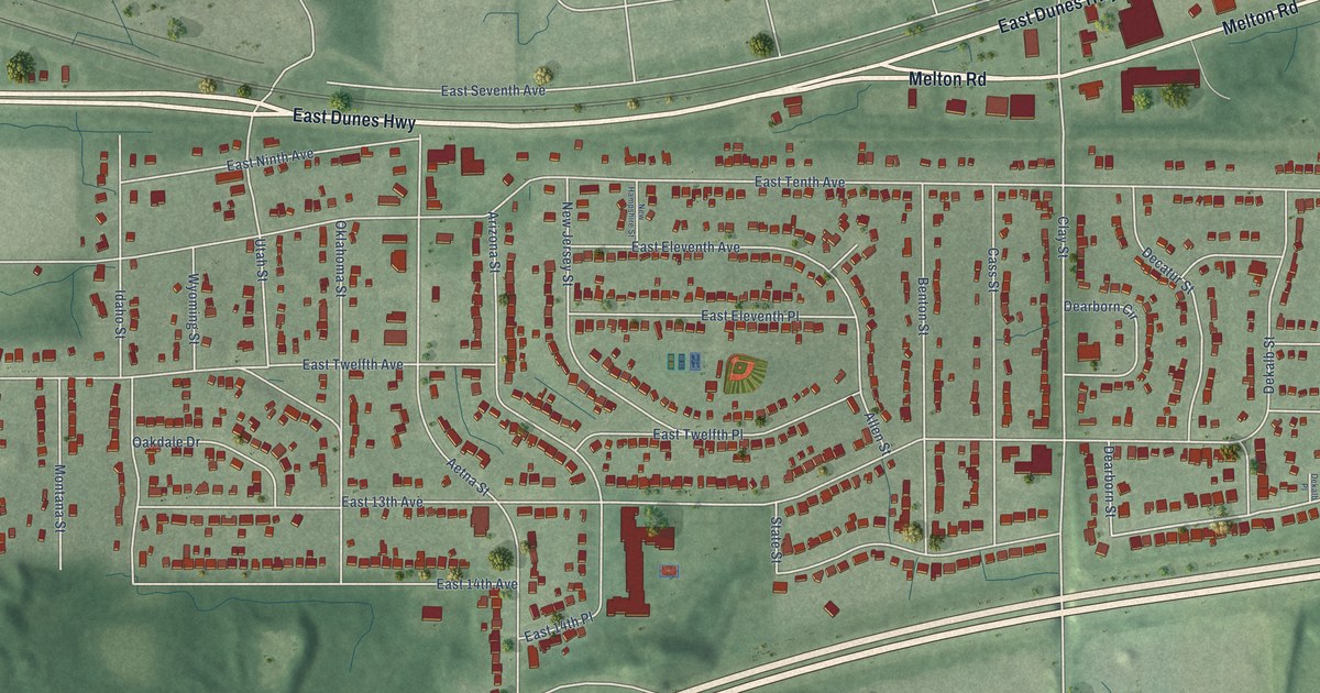
A detailed map of Aetna, Indiana, showing every building in its true location, the roads by name, and shaded topographical relief.
Read More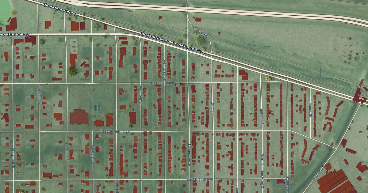
A detailed map of Emerson, Indiana, showing every building in its true location, the roads by name, and shaded topographical relief.
Read More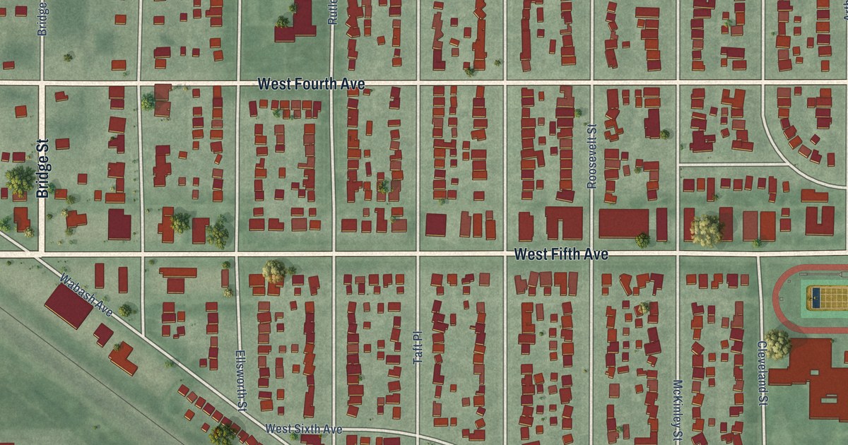
A detailed map of Ambridge Mann, Indiana, showing every building in its true location, the roads by name, and shaded topographical relief.
Read More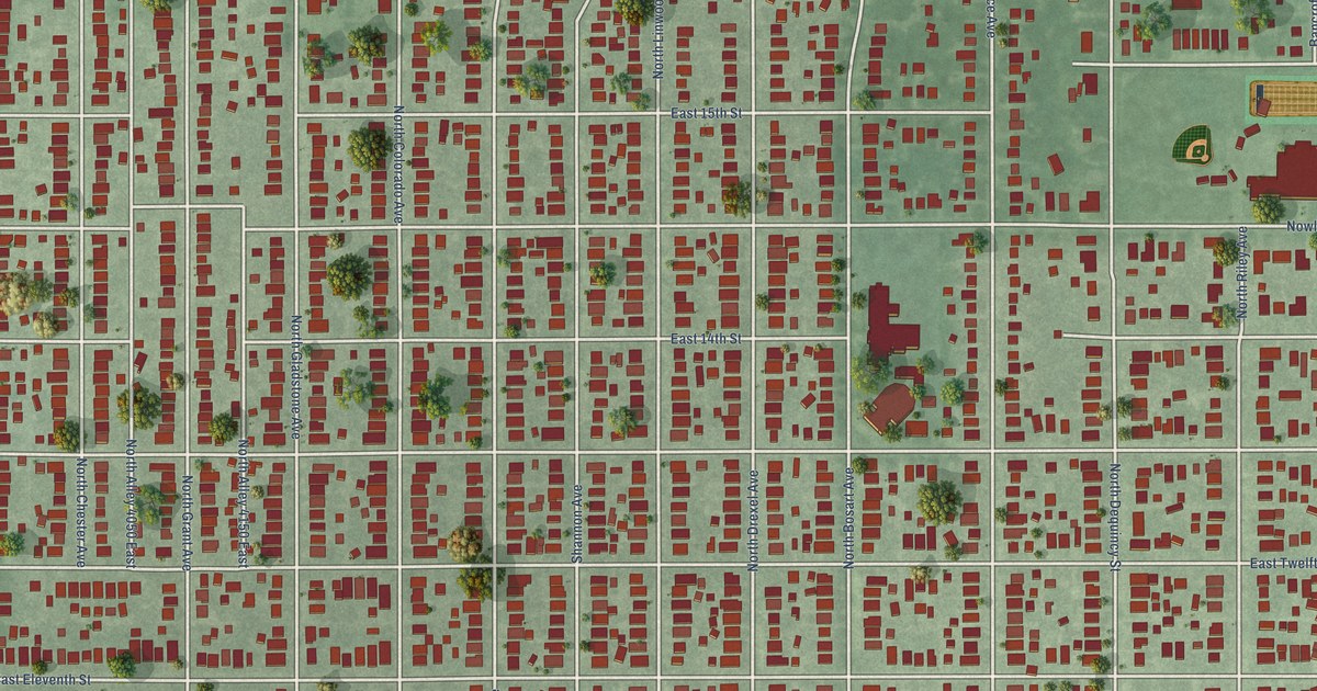
A detailed map of Little Flower, Indiana, showing every building in its true location, the roads by name, and shaded topographical relief.
Read More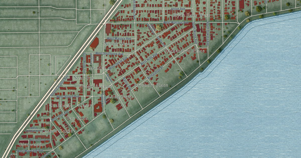
A detailed map of Hyde Park, Florida, showing every building in its true location, the roads by name, and shaded topographical relief.
Read More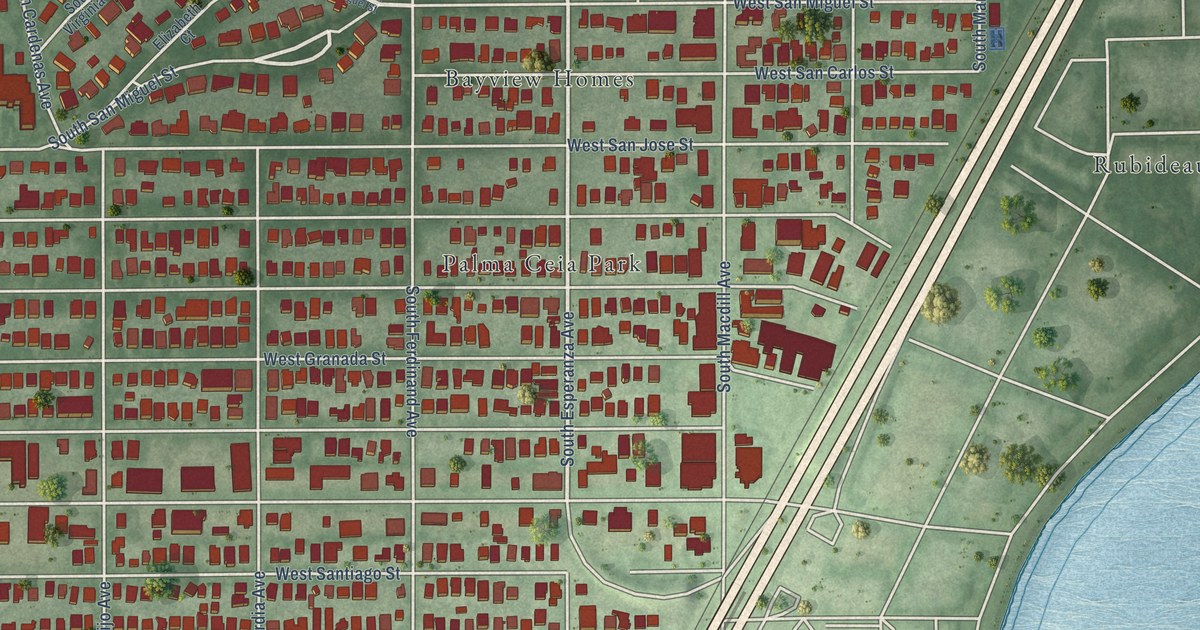
A detailed map of Palma Ceia, Florida, showing every building in its true location, the roads by name, and shaded topographical relief.
Read More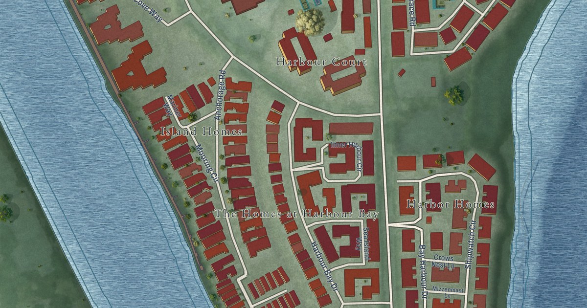
A detailed map of Harbour Island, Florida, showing every building in its true location, the roads by name, and shaded topographical relief.
Read More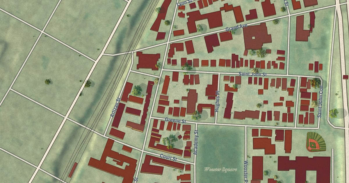
A detailed map of Wooster Square, Connecticut, showing every building in its true location, the roads by name, and shaded topographical relief.
Read More
A detailed map of West River, Connecticut, showing every building in its true location, the roads by name, and shaded topographical relief.
Read More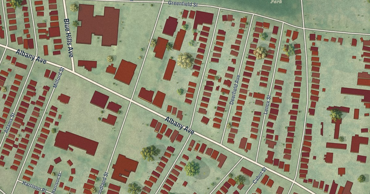
A detailed map of Upper Albany, Connecticut, showing every building in its true location, the roads by name, and shaded topographical relief.
Read More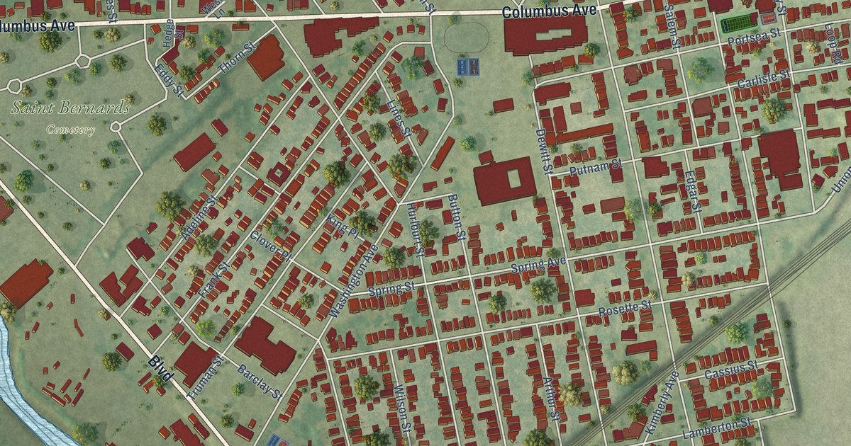
A detailed map of The Hill, Connecticut, showing every building in its true location, the roads by name, and shaded topographical relief.
Read More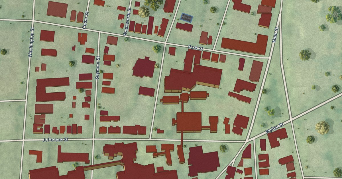
A detailed map of South Green, Connecticut, showing every building in its true location, the roads by name, and shaded topographical relief.
Read More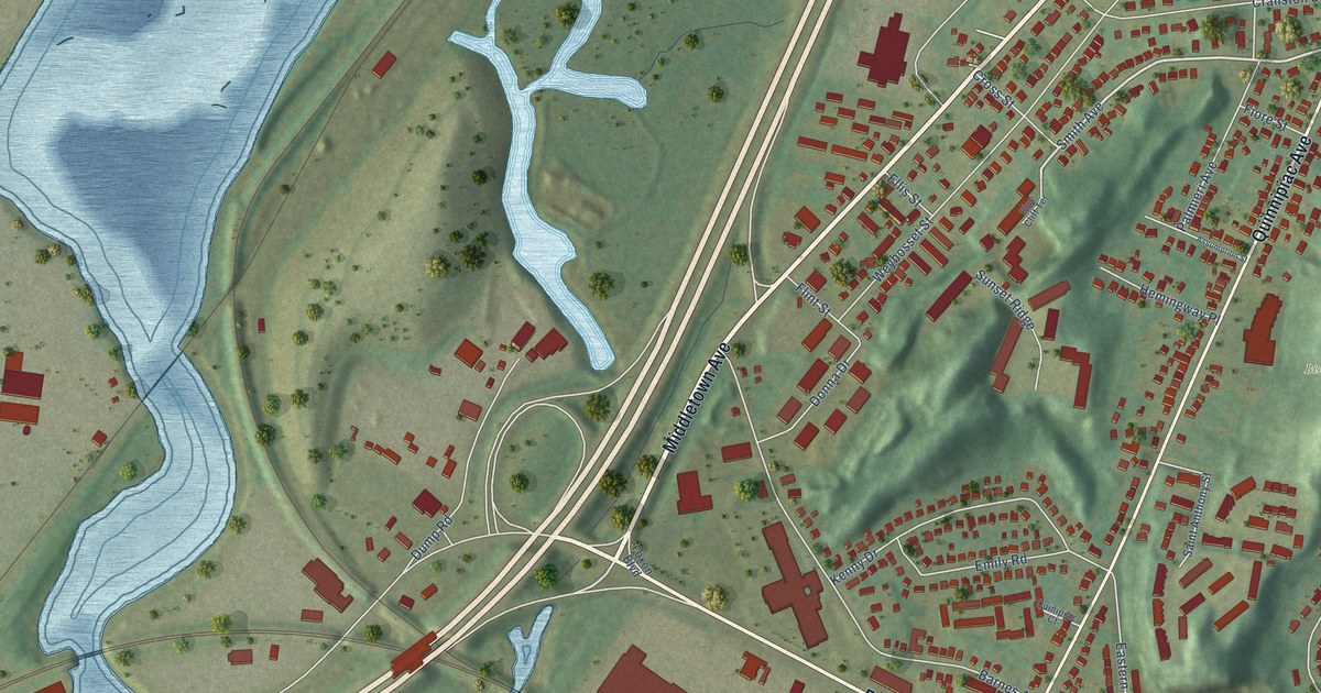
A detailed map of Quinnipiac Meadows, Connecticut, showing every building in its true location, the roads by name, and shaded topographical relief.
Read More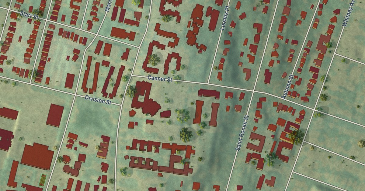
A detailed map of Prospect Hill, Connecticut, showing every building in its true location, the roads by name, and shaded topographical relief.
Read More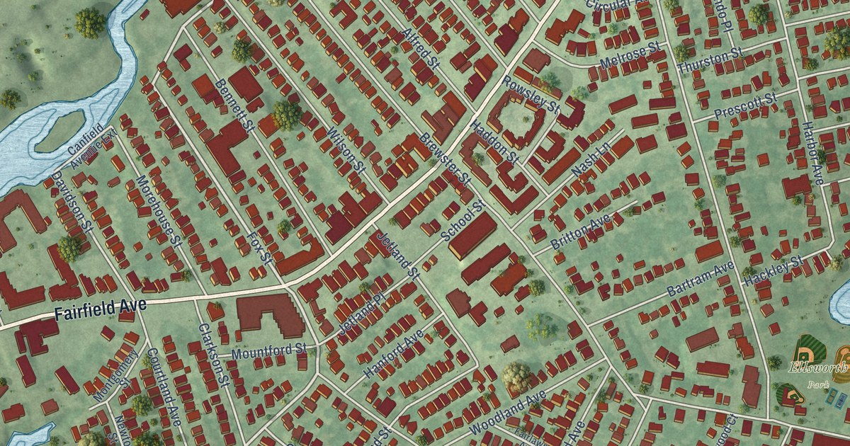
A detailed map of Black Rock, Connecticut, showing every building in its true location, the roads by name, and shaded topographical relief.
Read More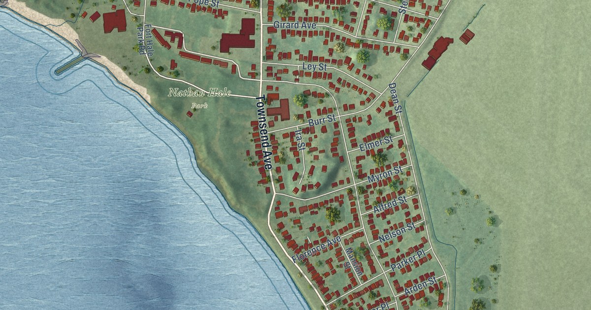
A detailed map of East Shore, Connecticut, showing every building in its true location, the roads by name, and shaded topographical relief.
Read More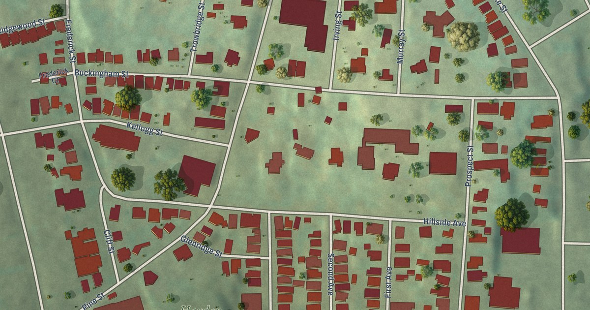
A detailed map of Hillside, Connecticut, showing every building in its true location, the roads by name, and shaded topographical relief.
Read More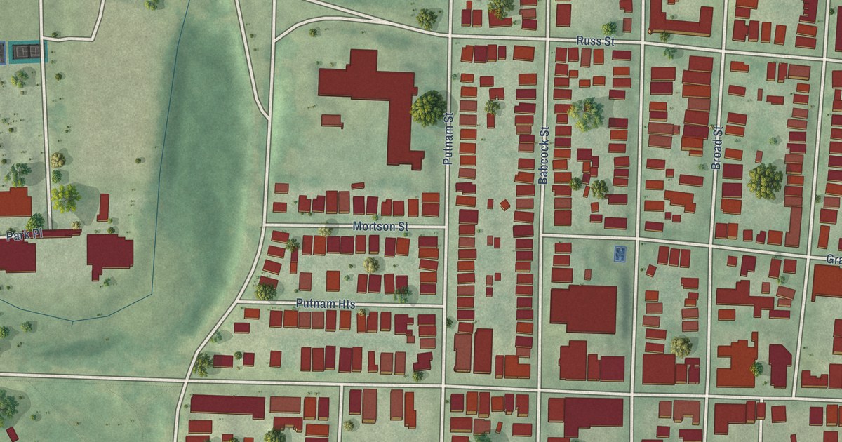
A detailed map of Frog Hollow, Connecticut, showing every building in its true location, the roads by name, and shaded topographical relief.
Read More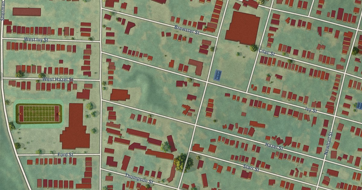
A detailed map of Newhallville, Connecticut, showing every building in its true location, the roads by name, and shaded topographical relief.
Read More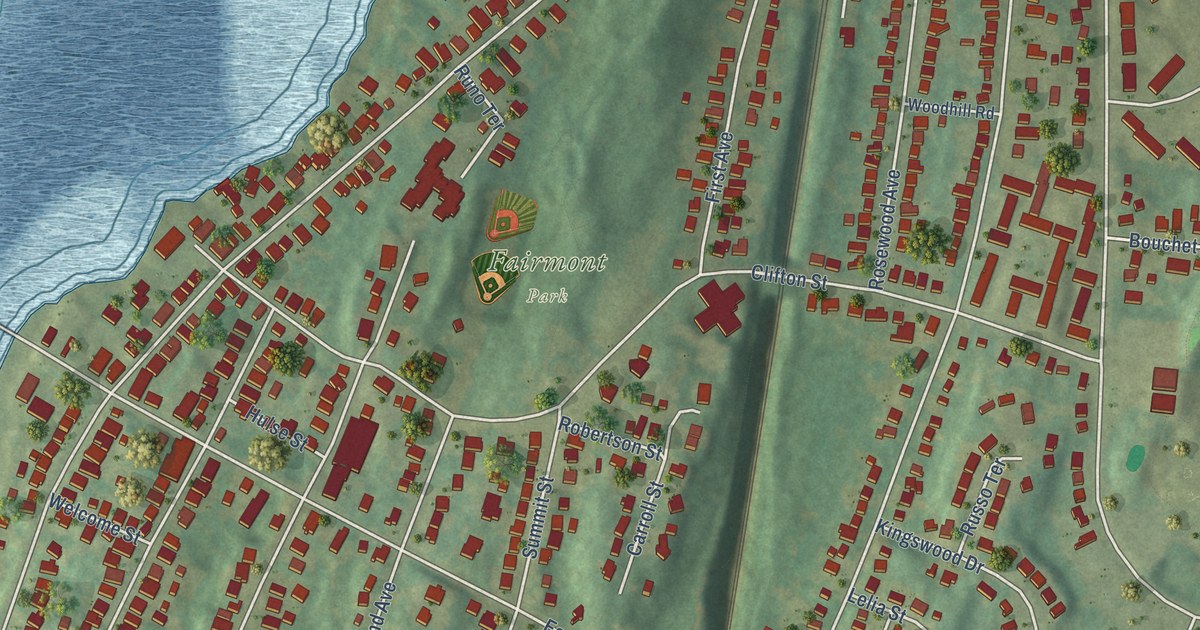
A detailed map of Fair Haven Heights, Connecticut, showing every building in its true location, the roads by name, and shaded topographical relief.
Read More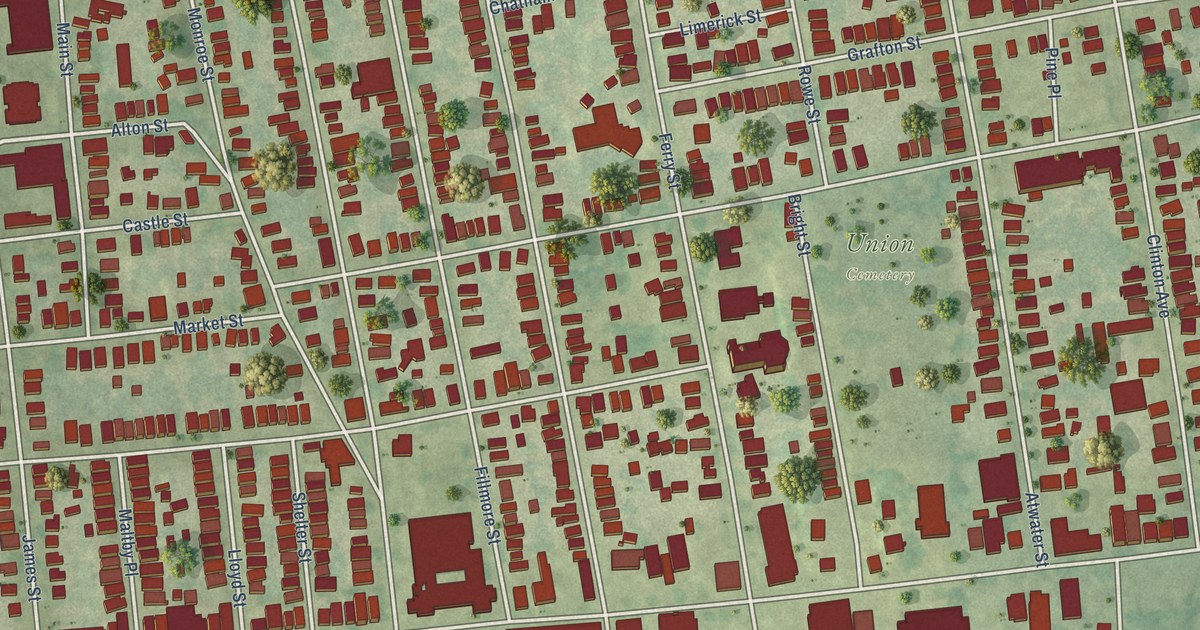
A detailed map of Fair Haven, Connecticut, showing every building in its true location, the roads by name, and shaded topographical relief.
Read More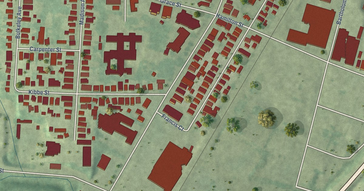
A detailed map of Parkville, Connecticut, showing every building in its true location, the roads by name, and shaded topographical relief.
Read More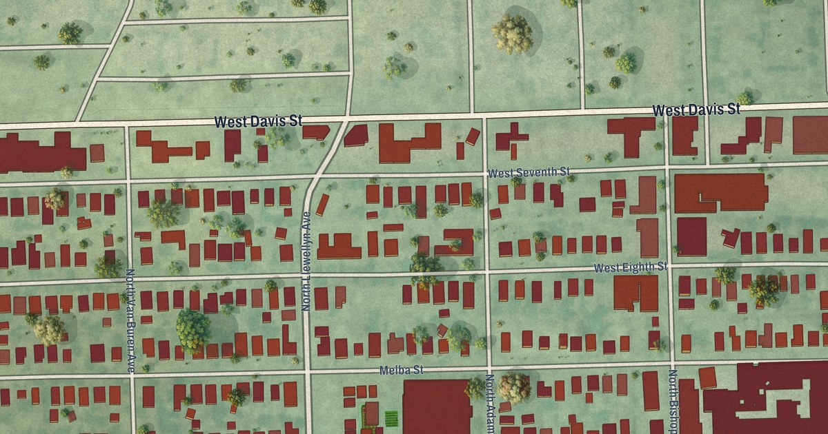
A detailed map of Bishop Arts District, Texas, showing every building in its true location, the roads by name, and shaded topographical relief.
Read More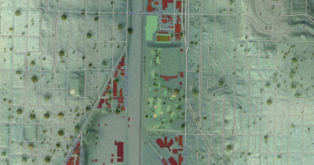
A detailed map of Interbay, Washington, showing every building in its true location, the roads by name, and shaded topographical relief.
Read More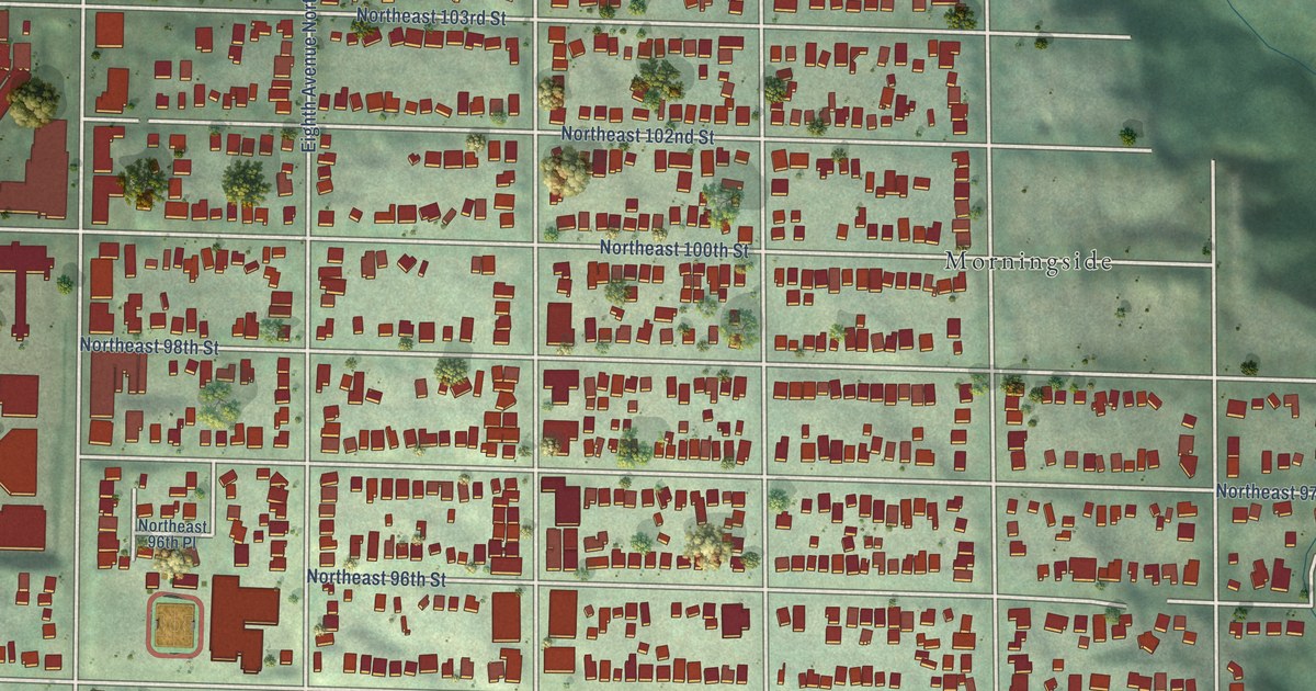
A detailed map of Maple Leaf, Washington, showing every building in its true location, the roads by name, and shaded topographical relief.
Read More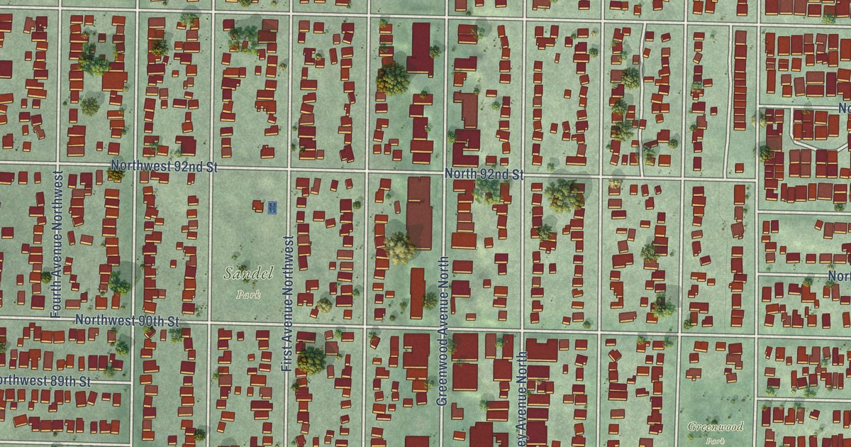
A detailed map of Greenwood, Washington, showing every building in its true location, the roads by name, and shaded topographical relief.
Read More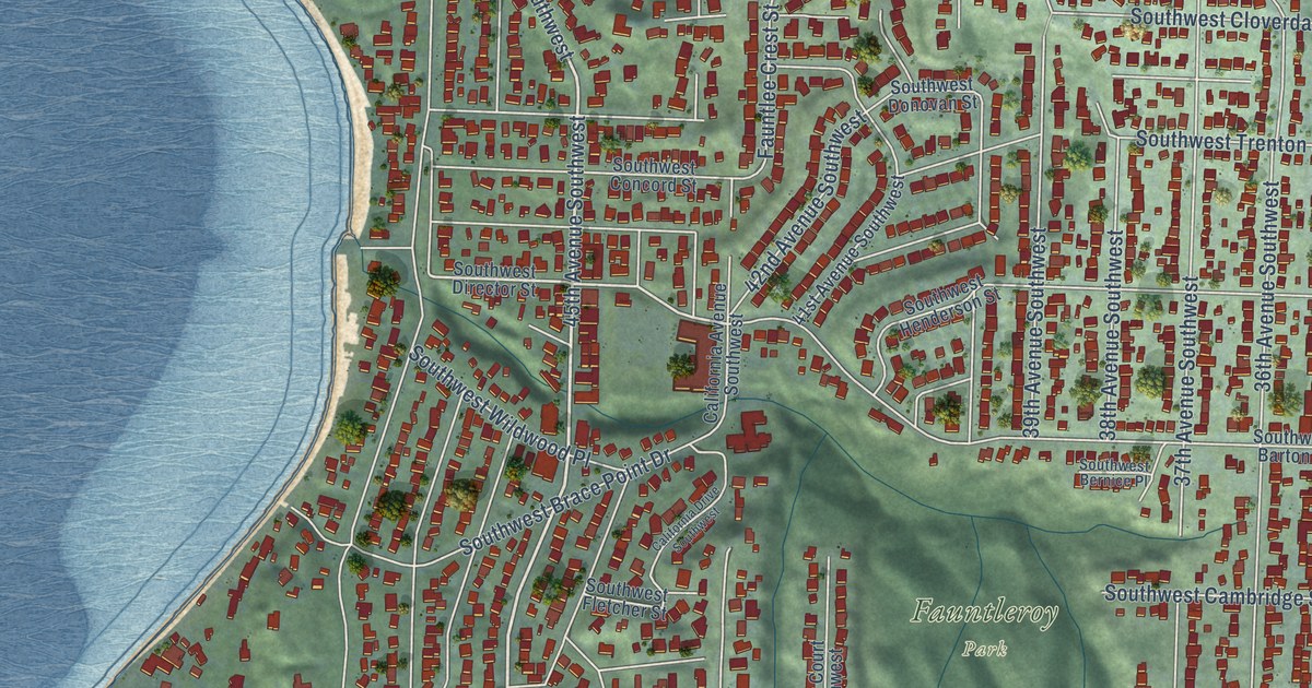
A detailed map of Fauntleroy, Washington, showing every building in its true location, the roads by name, and shaded topographical relief.
Read More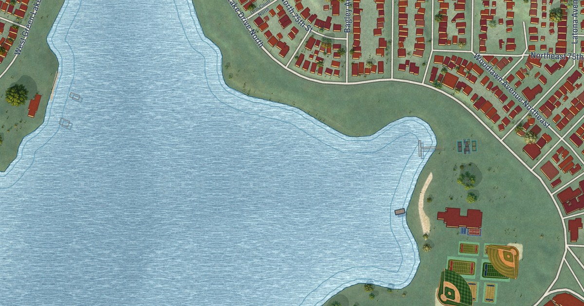
A detailed map of Green Lake, Washington, showing every building in its true location, the roads by name, and shaded topographical relief.
Read More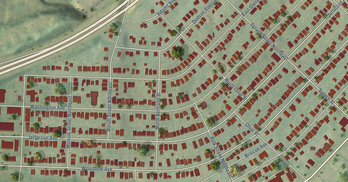
A detailed map of Parkridge, Tennessee, showing every building in its true location, the roads by name, and shaded topographical relief.
Read More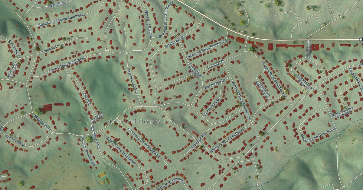
A detailed map of Colonial Village, Tennessee, showing every building in its true location, the roads by name, and shaded topographical relief.
Read More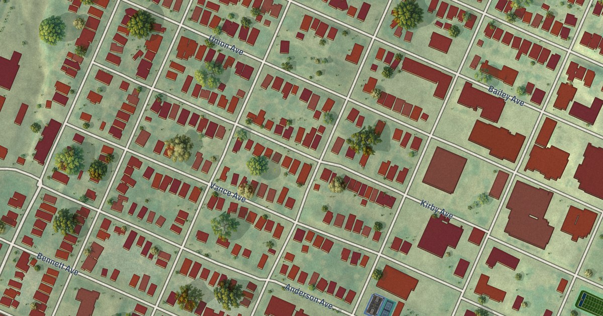
A detailed map of Highland Park, Tennessee, showing every building in its true location, the roads by name, and shaded topographical relief.
Read More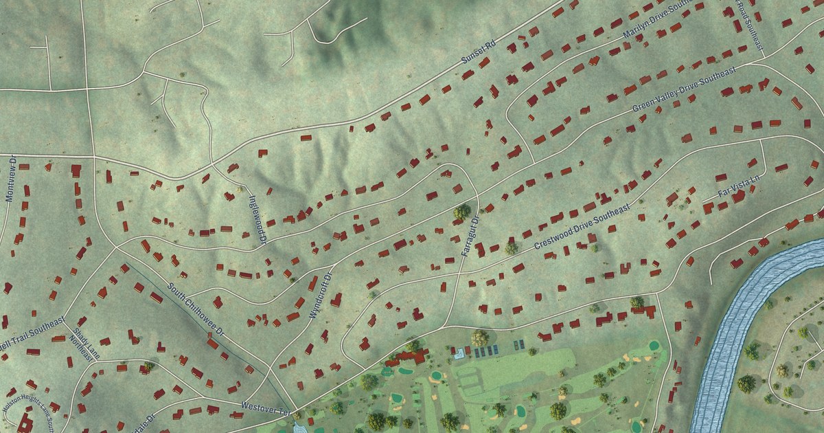
A detailed map of Holston Hills, Tennessee, showing every building in its true location, the roads by name, and shaded topographical relief.
Read More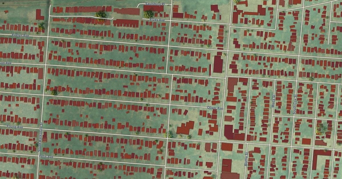
A detailed map of Cooper-Young, Tennessee, showing every building in its true location, the roads by name, and shaded topographical relief.
Read More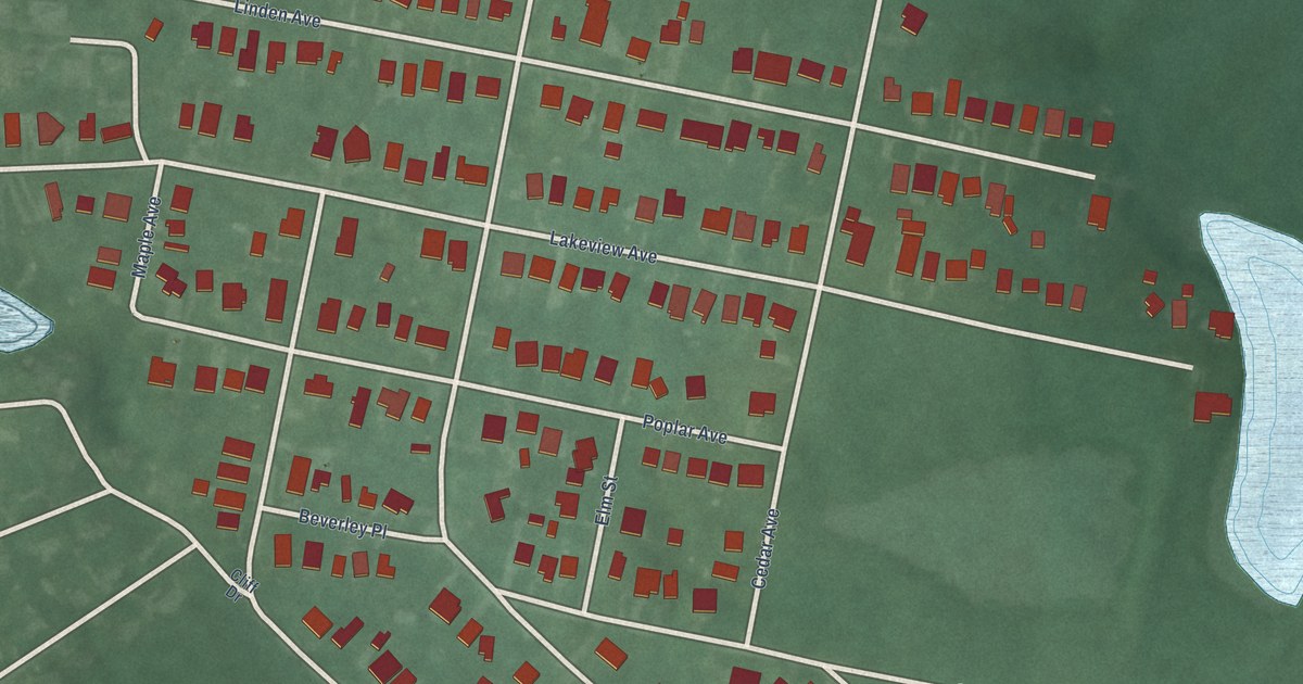
A detailed map of Beverly Beach, Maryland, showing every building in its true location, the roads by name, and shaded topographical relief.
Read More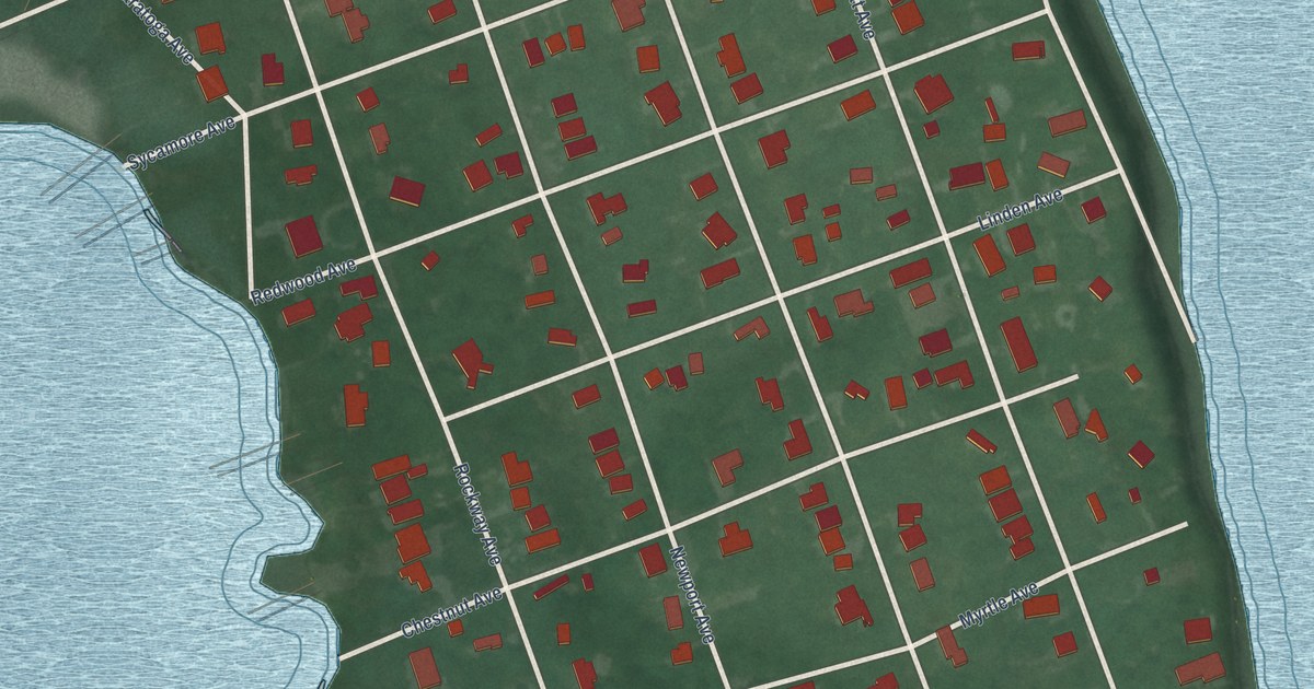
A detailed map of Arundel on the Bay, Maryland, showing every building in its true location, the roads by name, and shaded topographical relief.
Read More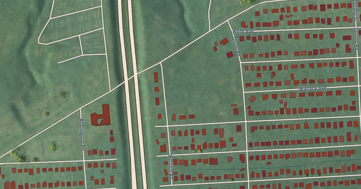
A detailed map of Arundel Gardens, Maryland, showing every building in its true location, the roads by name, and shaded topographical relief.
Read More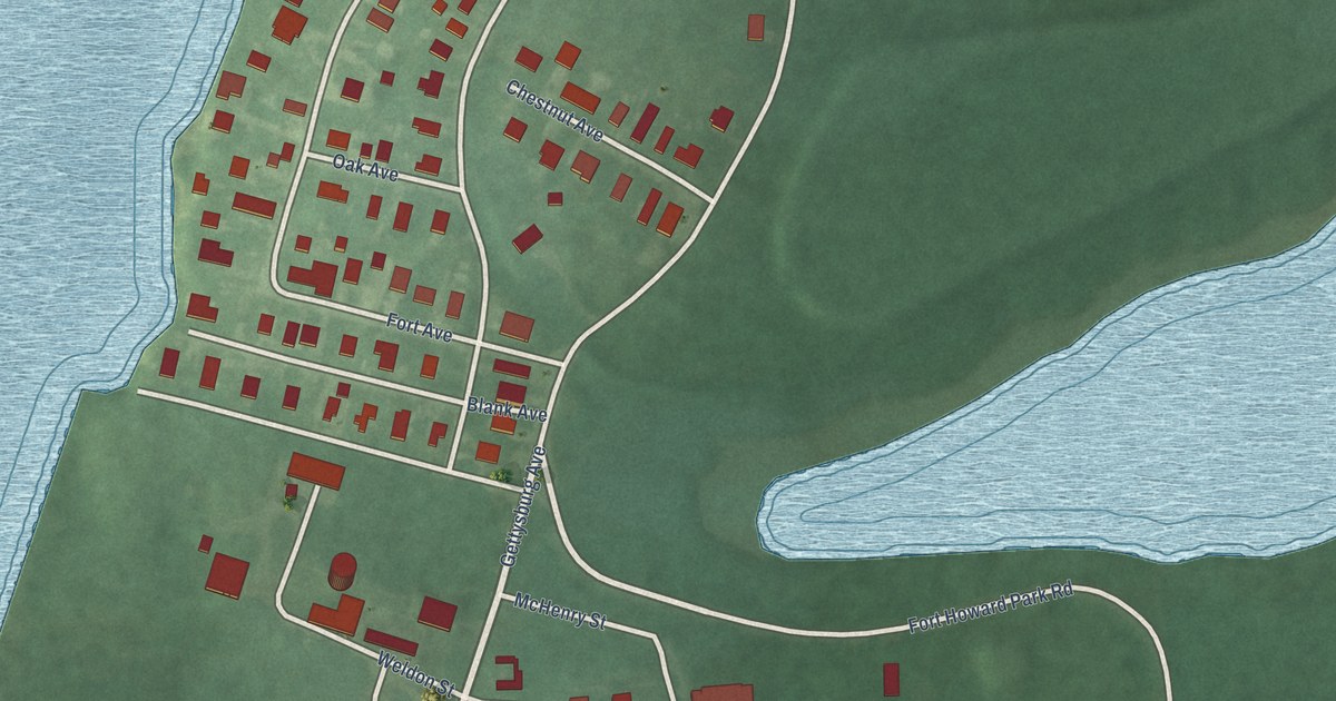
A detailed map of Fort Howard, Maryland, showing every building in its true location, the roads by name, and shaded topographical relief.
Read More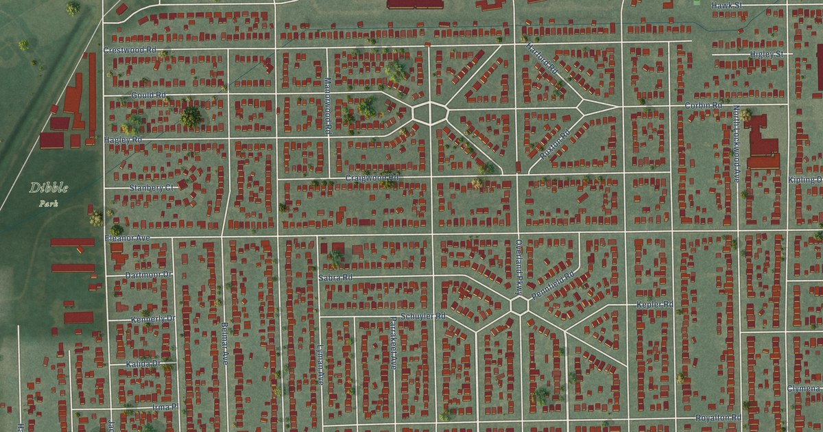
A detailed map of Library Village, Ohio, showing every building in its true location, the roads by name, and shaded topographical relief.
Read More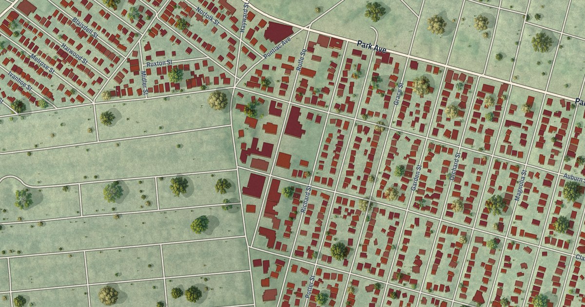
A detailed map of Auburn, Rhode Island, showing every building in its true location, the roads by name, and shaded topographical relief.
Read More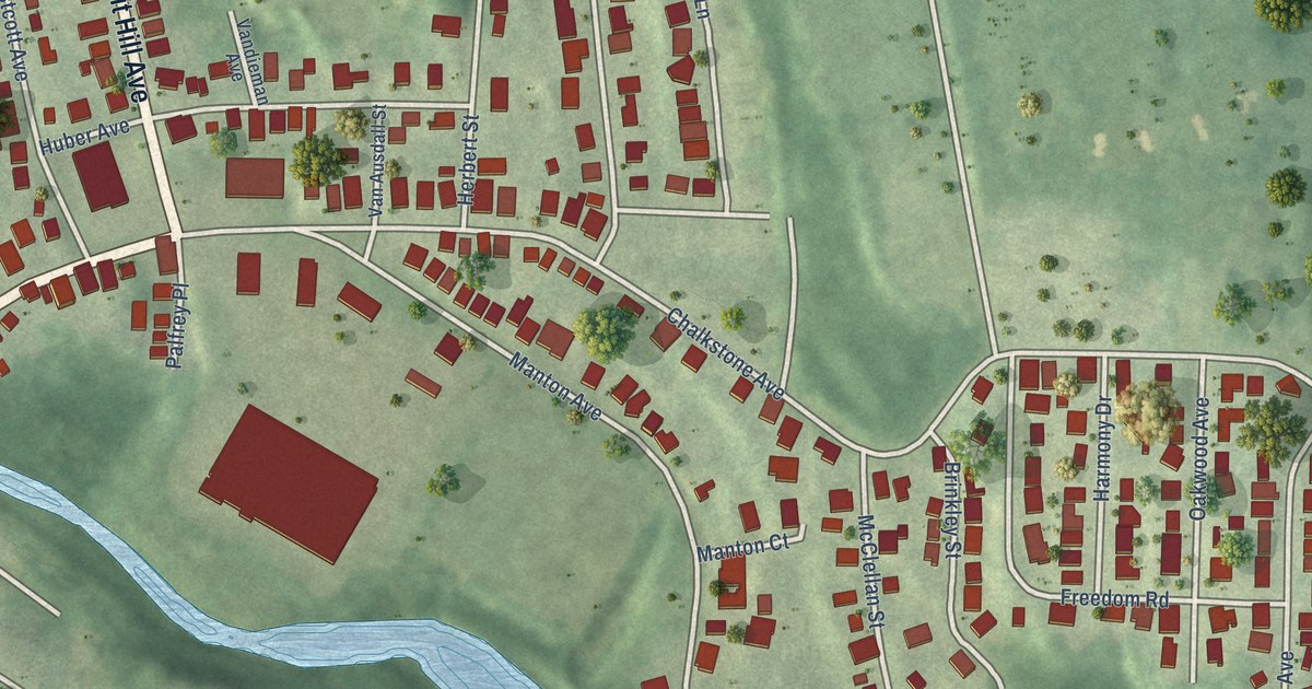
A detailed map of Manton, Rhode Island, showing every building in its true location, the roads by name, and shaded topographical relief.
Read More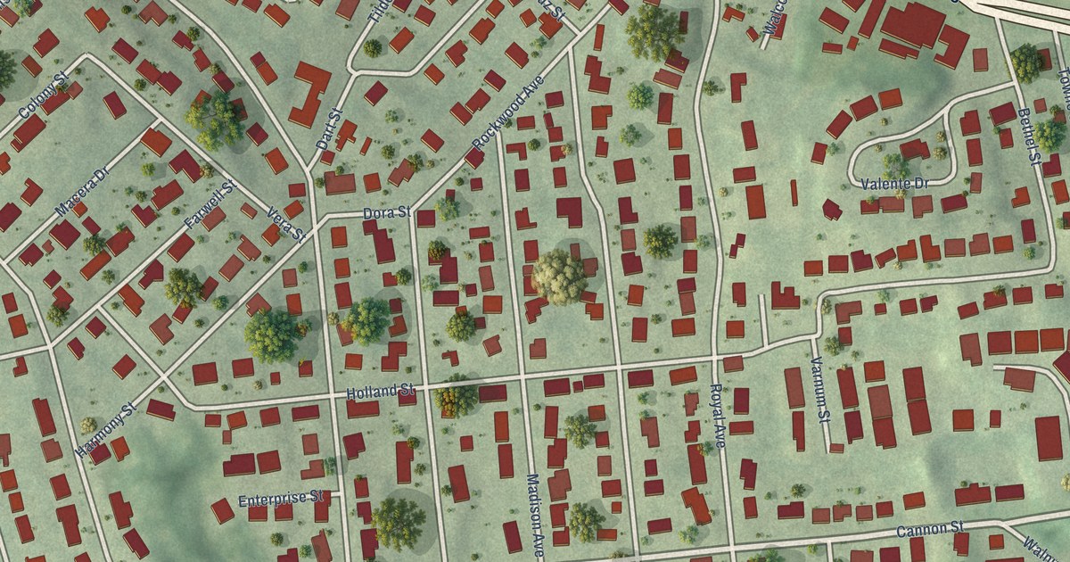
A detailed map of Thornton, Rhode Island, showing every building in its true location, the roads by name, and shaded topographical relief.
Read More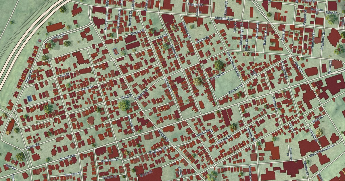
A detailed map of Federal Hill, Rhode Island, showing every building in its true location, the roads by name, and shaded topographical relief.
Read More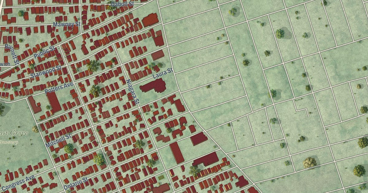
A detailed map of Elmwood, Rhode Island, showing every building in its true location, the roads by name, and shaded topographical relief.
Read More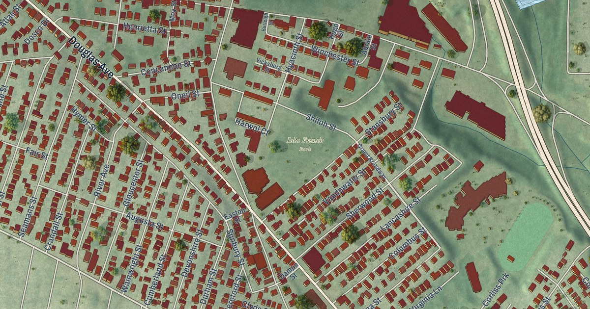
A detailed map of Wanskuck, Rhode Island, showing every building in its true location, the roads by name, and shaded topographical relief.
Read More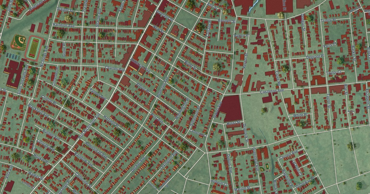
A detailed map of Port Richmond, New York, showing every building in its true location, the roads by name, and shaded topographical relief.
Read More















