Detailed Map of Communications Hill, California
A detailed map of Communications Hill, California, showing every building in its true location, the roads by name, and shaded topographical relief.
Read More
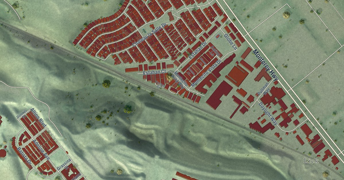
A detailed map of Communications Hill, California, showing every building in its true location, the roads by name, and shaded topographical relief.
Read More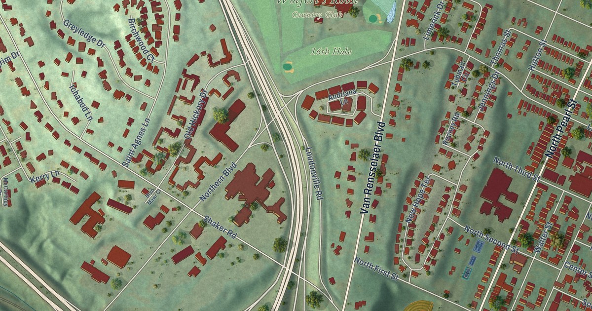
A detailed map of North Albany, New York, showing every building in its true location, the roads by name, and shaded topographical relief.
Read More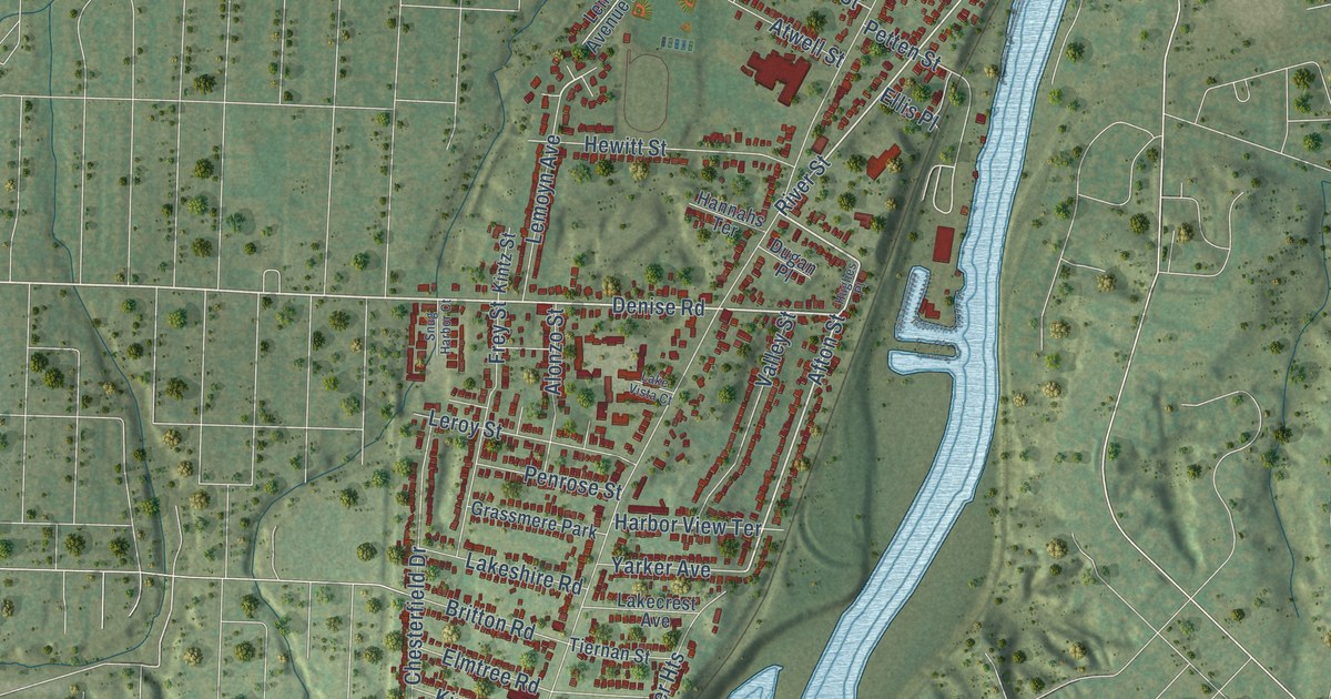
A detailed map of Charlotte, New York, showing every building in its true location, the roads by name, and shaded topographical relief.
Read More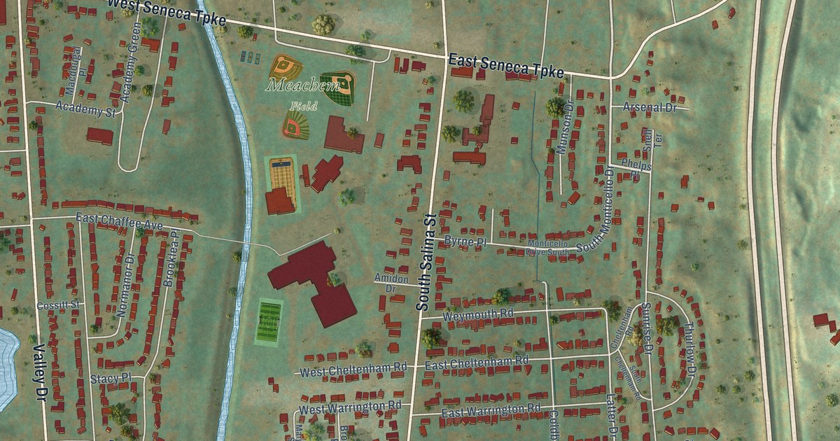
A detailed map of South Valley, New York, showing every building in its true location, the roads by name, and shaded topographical relief.
Read More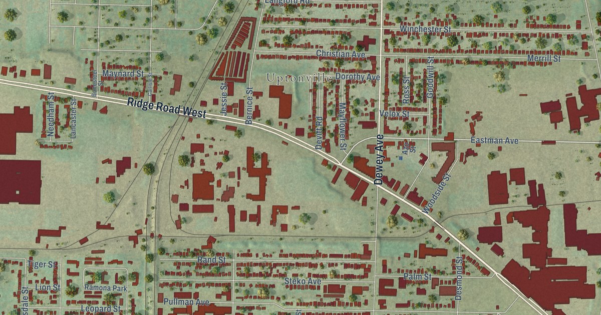
A detailed map of Maplewood, New York, showing every building in its true location, the roads by name, and shaded topographical relief.
Read More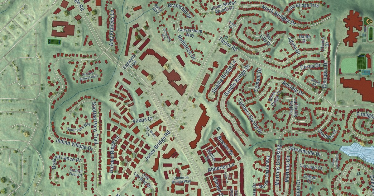
A detailed map of Ocee, Georgia, showing every building in its true location, the roads by name, and shaded topographical relief.
Read More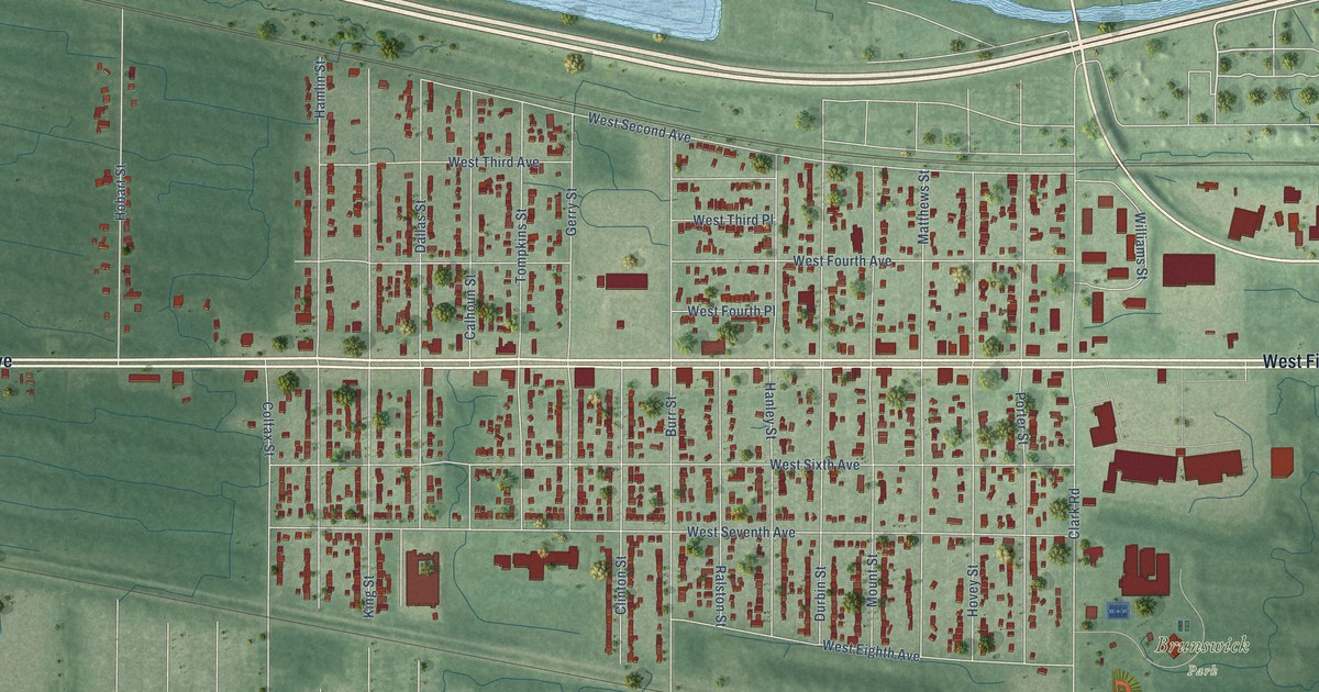
A detailed map of Brunswick, Indiana, showing every building in its true location, the roads by name, and shaded topographical relief.
Read More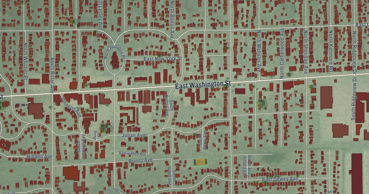
A detailed map of Irvington, Indiana, showing every building in its true location, the roads by name, and shaded topographical relief.
Read More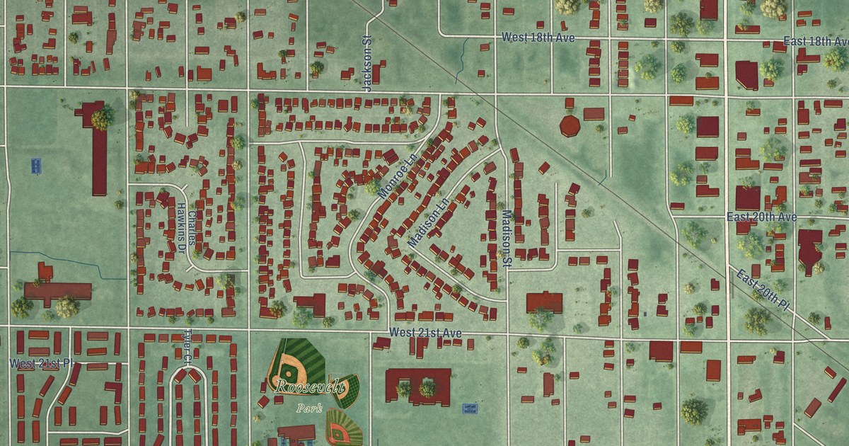
A detailed map of Midtown, Indiana, showing every building in its true location, the roads by name, and shaded topographical relief.
Read More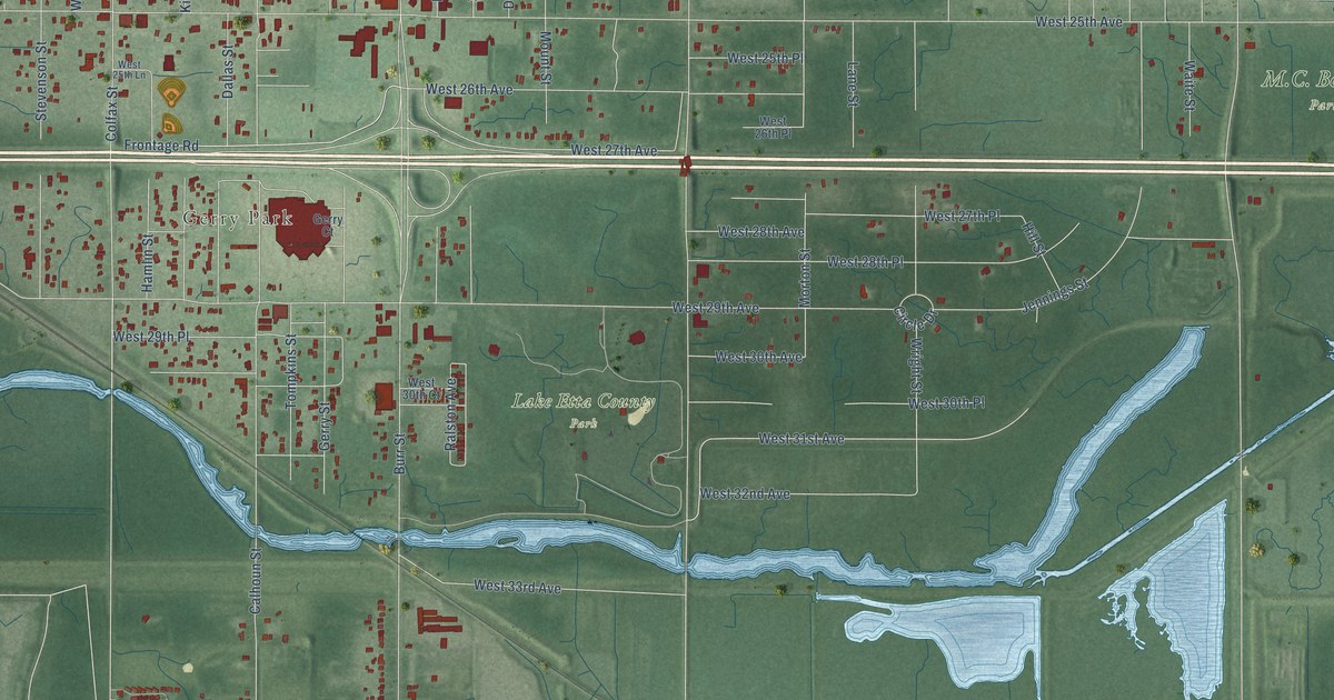
A detailed map of Black Oak, Indiana, showing every building in its true location, the roads by name, and shaded topographical relief.
Read More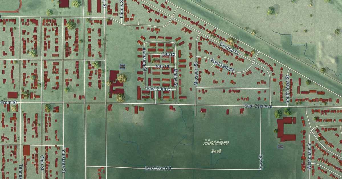
A detailed map of Pulaski, Indiana, showing every building in its true location, the roads by name, and shaded topographical relief.
Read More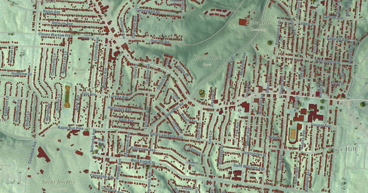
A detailed map of West Price Hill, Ohio, showing every building in its true location, the roads by name, and shaded topographical relief.
Read More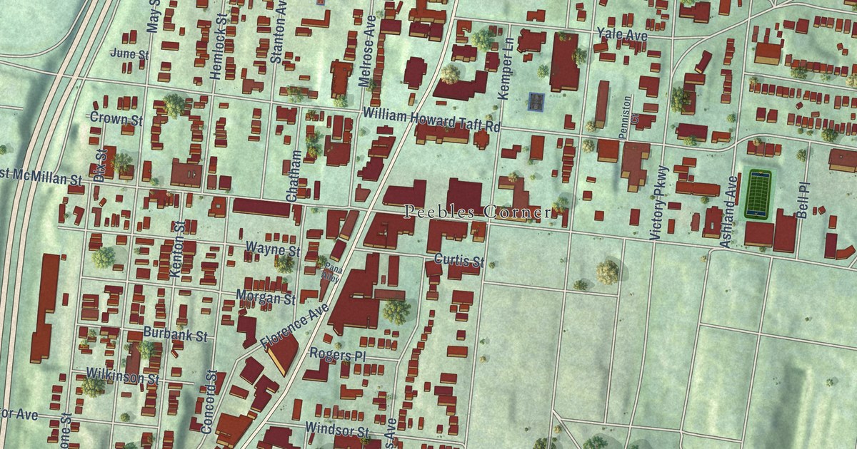
A detailed map of Walnut Hills, Ohio, showing every building in its true location, the roads by name, and shaded topographical relief.
Read More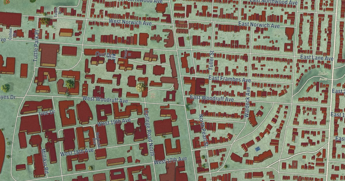
A detailed map of University District, Ohio, showing every building in its true location, the roads by name, and shaded topographical relief.
Read More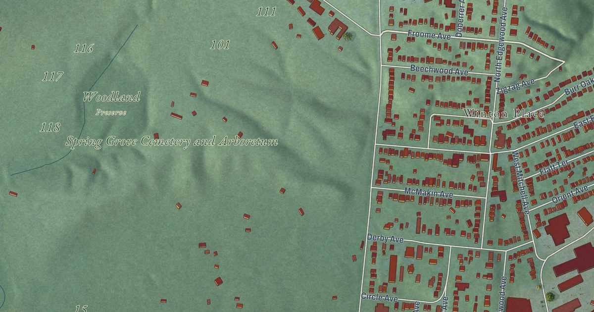
A detailed map of Spring Grove Village, Ohio, showing every building in its true location, the roads by name, and shaded topographical relief.
Read More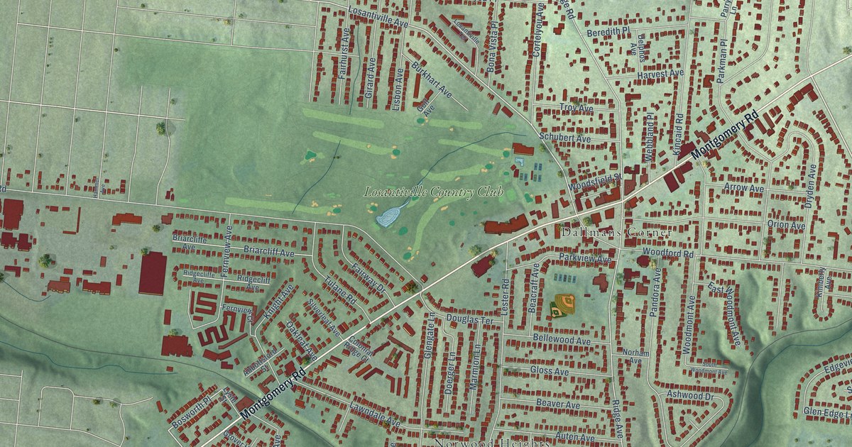
A detailed map of Pleasant Ridge, Ohio, showing every building in its true location, the roads by name, and shaded topographical relief.
Read More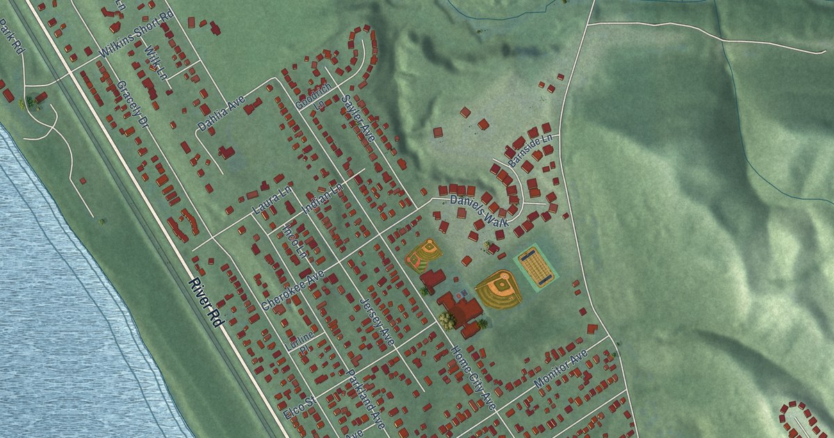
A detailed map of Sayler Park, Ohio, showing every building in its true location, the roads by name, and shaded topographical relief.
Read More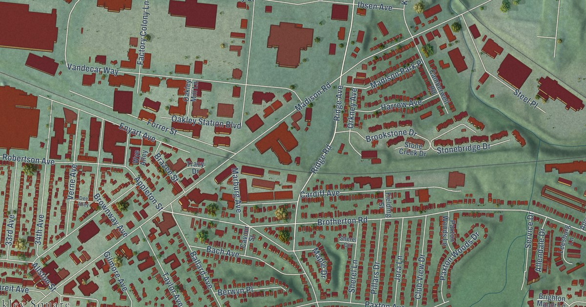
A detailed map of Oakley, Ohio, showing every building in its true location, the roads by name, and shaded topographical relief.
Read More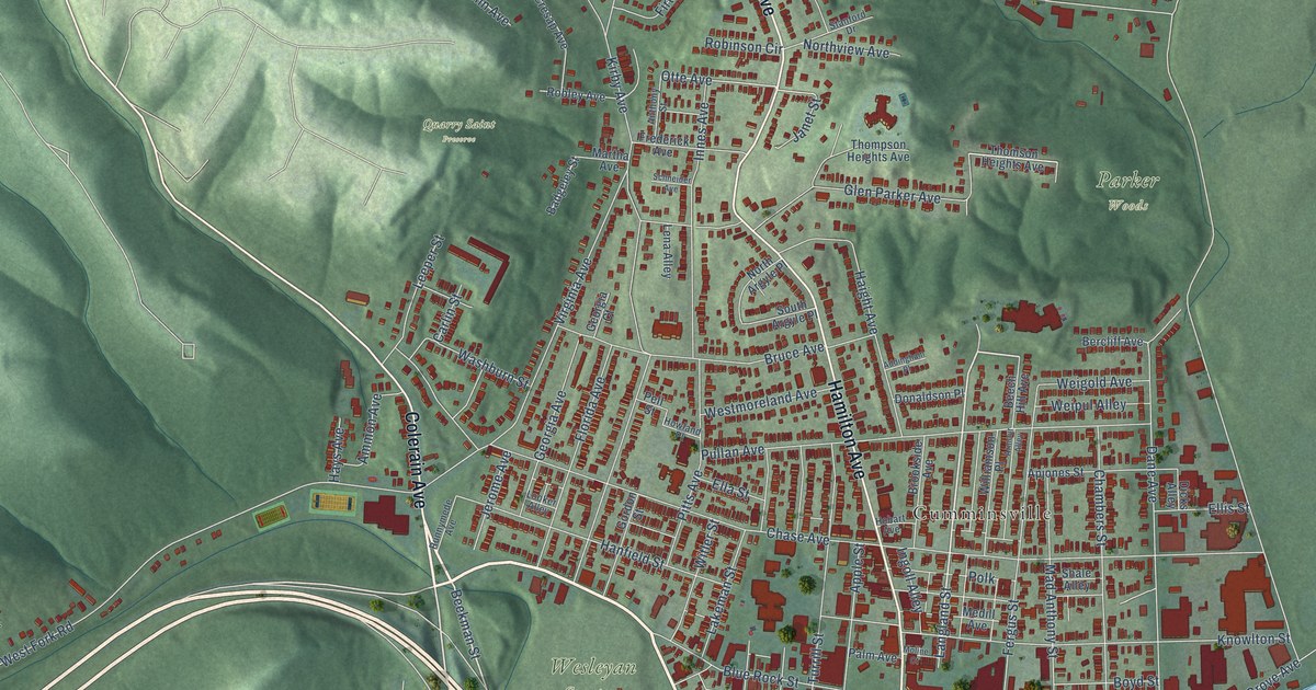
A detailed map of Northside, Ohio, showing every building in its true location, the roads by name, and shaded topographical relief.
Read More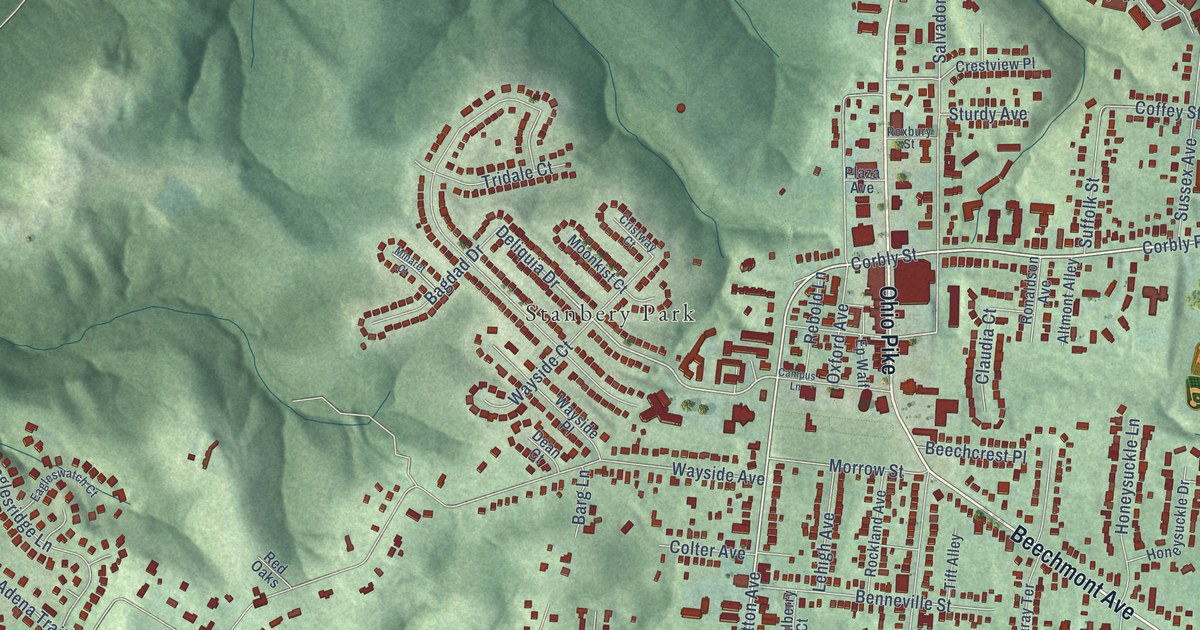
A detailed map of Mount Washington, Ohio, showing every building in its true location, the roads by name, and shaded topographical relief.
Read More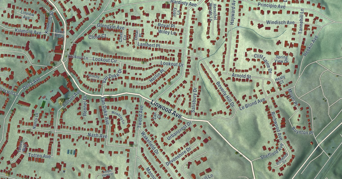
A detailed map of Mount Lookout, Ohio, showing every building in its true location, the roads by name, and shaded topographical relief.
Read More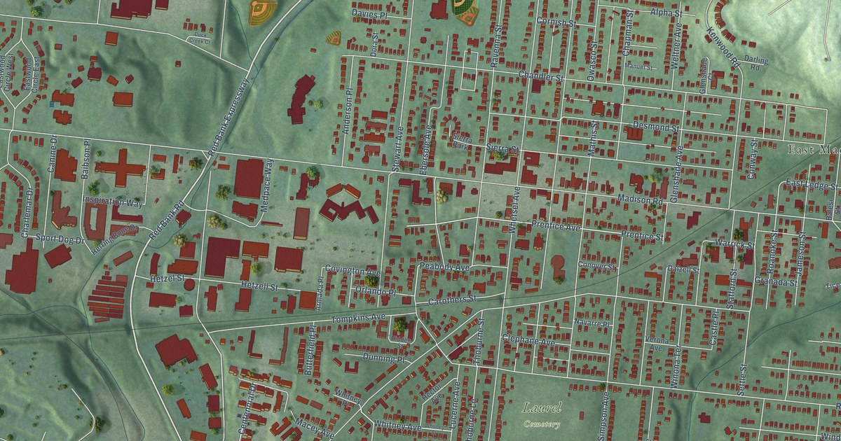
A detailed map of Madisonville, Ohio, showing every building in its true location, the roads by name, and shaded topographical relief.
Read More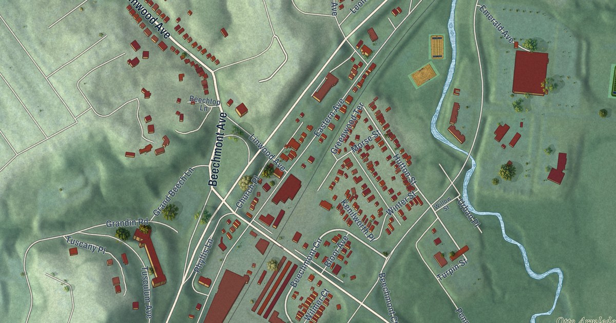
A detailed map of Linwood, Ohio, showing every building in its true location, the roads by name, and shaded topographical relief.
Read More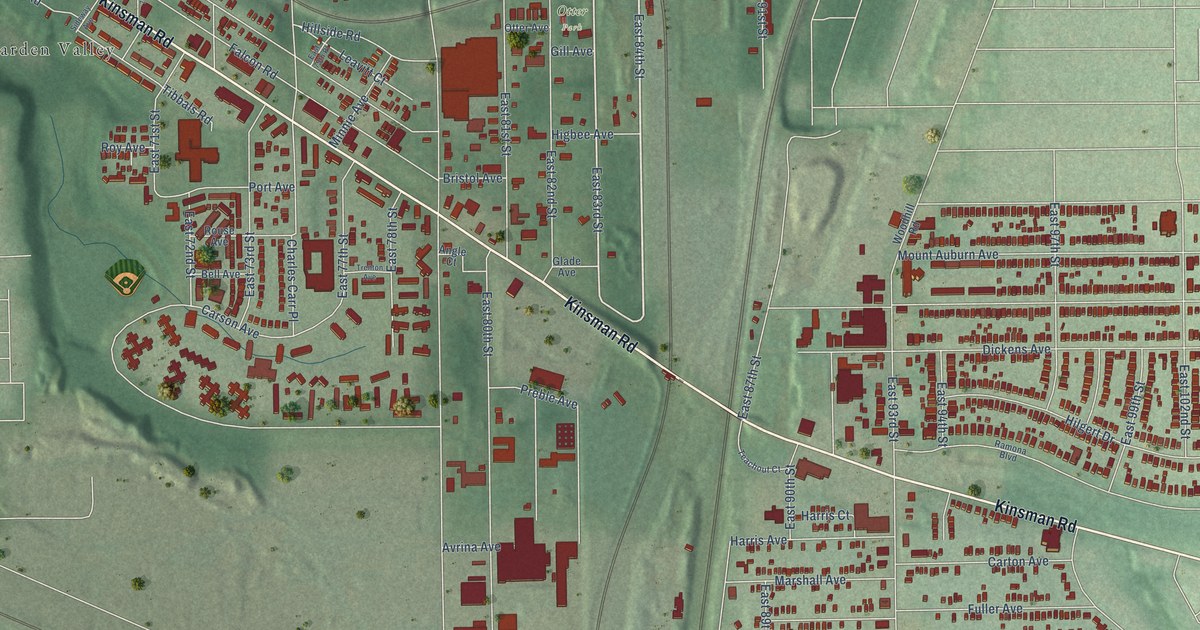
A detailed map of Kinsman, Ohio, showing every building in its true location, the roads by name, and shaded topographical relief.
Read More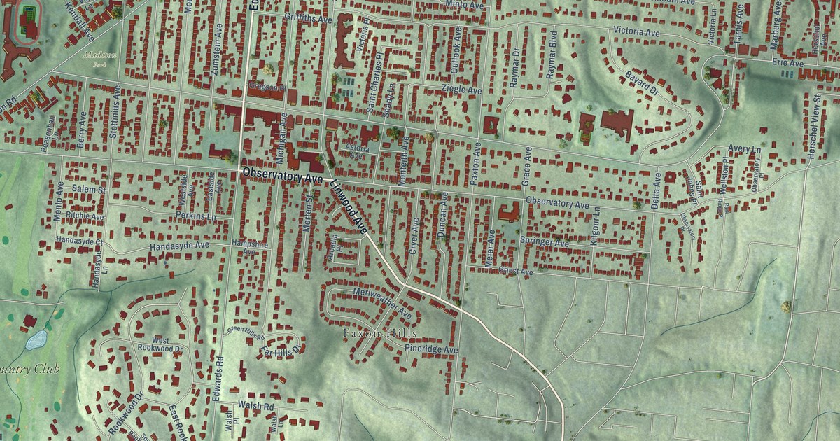
A detailed map of Hyde Park, Ohio, showing every building in its true location, the roads by name, and shaded topographical relief.
Read More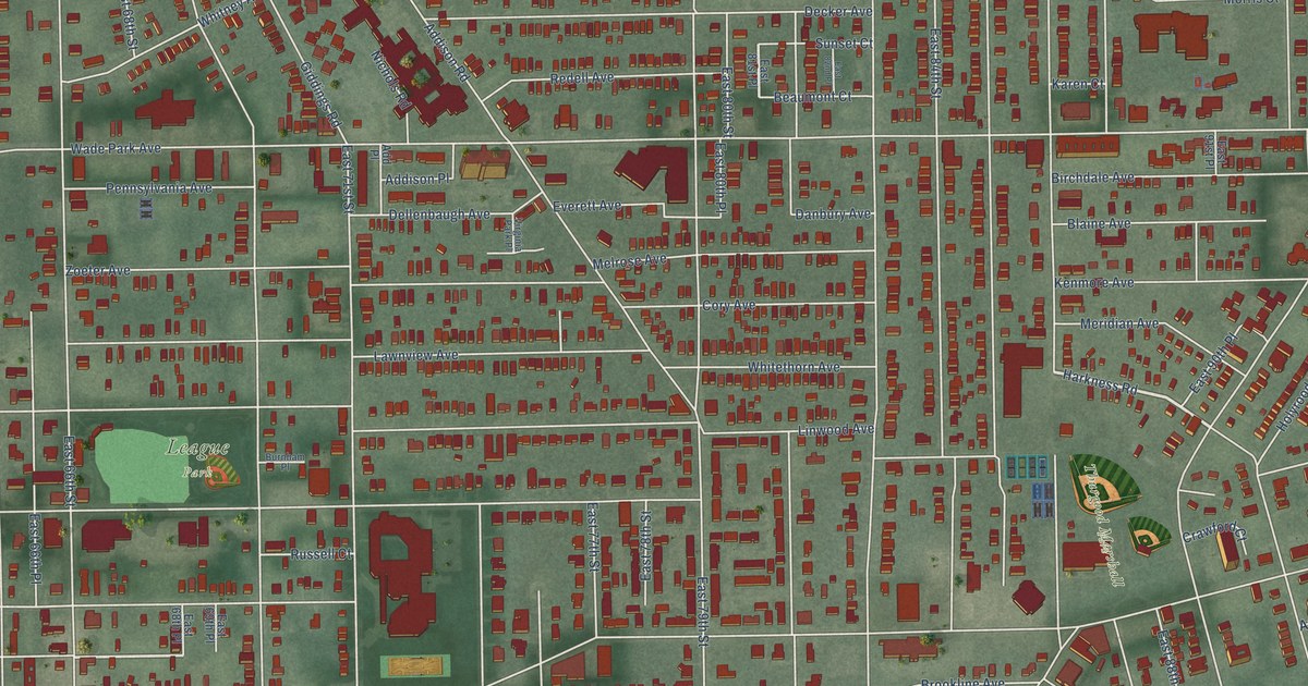
A detailed map of Hough, Ohio, showing every building in its true location, the roads by name, and shaded topographical relief.
Read More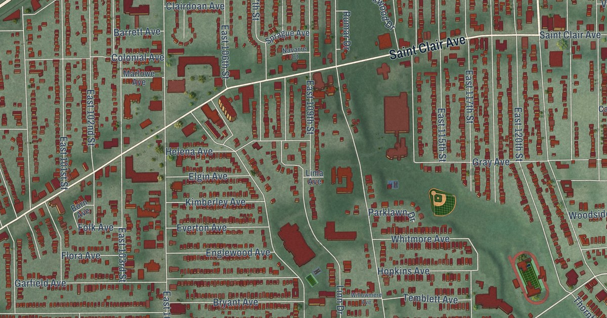
A detailed map of Glenville, Ohio, showing every building in its true location, the roads by name, and shaded topographical relief.
Read More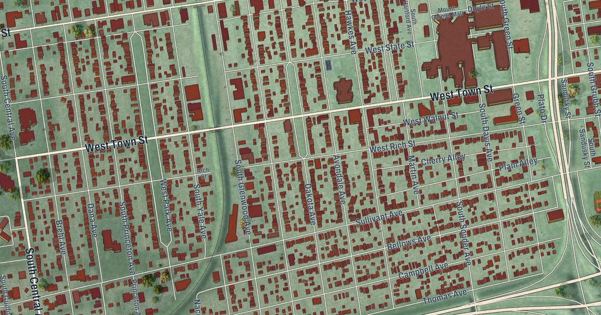
A detailed map of Franklinton, Ohio, showing every building in its true location, the roads by name, and shaded topographical relief.
Read More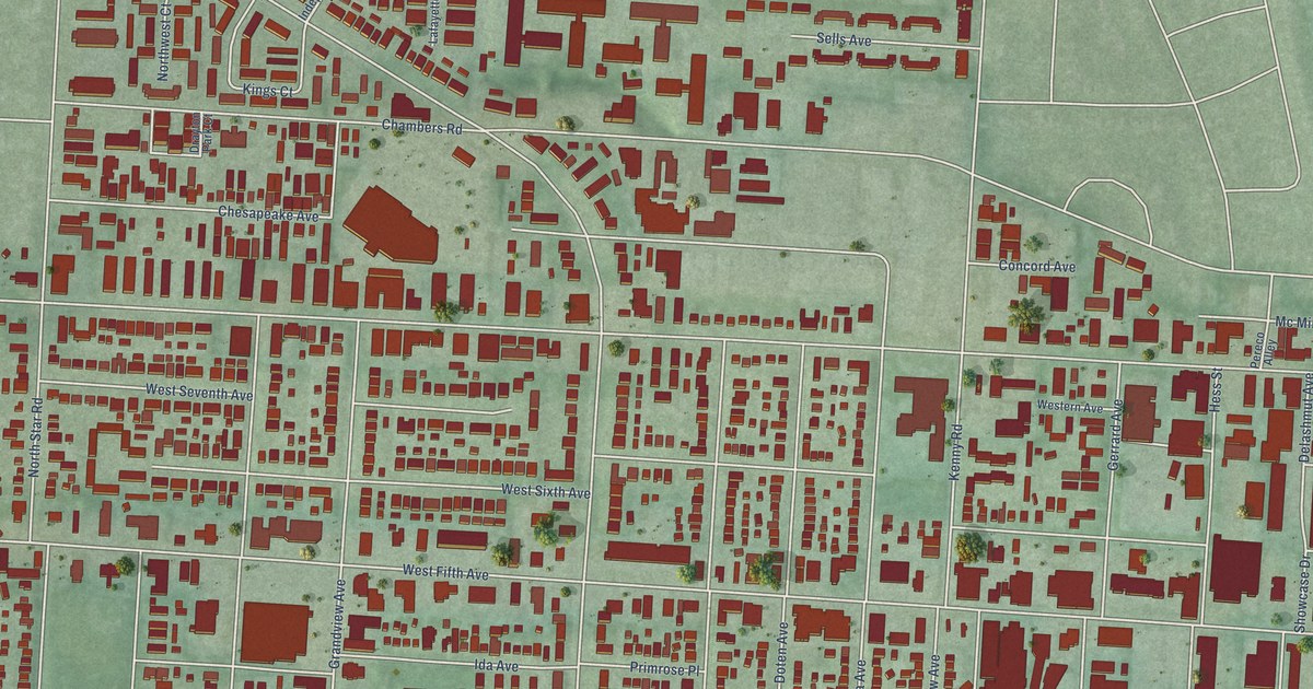
A detailed map of Fifth by Northwest, Ohio, showing every building in its true location, the roads by name, and shaded topographical relief.
Read More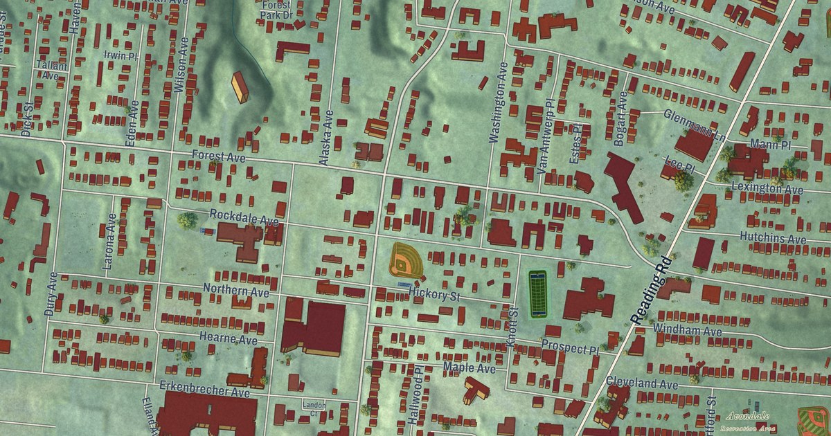
A detailed map of Avondale, Ohio, showing every building in its true location, the roads by name, and shaded topographical relief.
Read More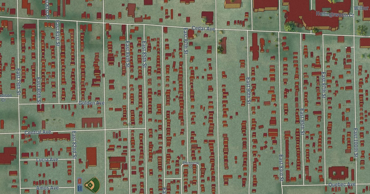
A detailed map of Fairfax, Ohio, showing every building in its true location, the roads by name, and shaded topographical relief.
Read More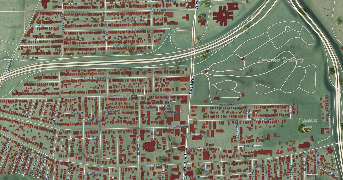
A detailed map of Brooklyn Centre, Ohio, showing every building in its true location, the roads by name, and shaded topographical relief.
Read More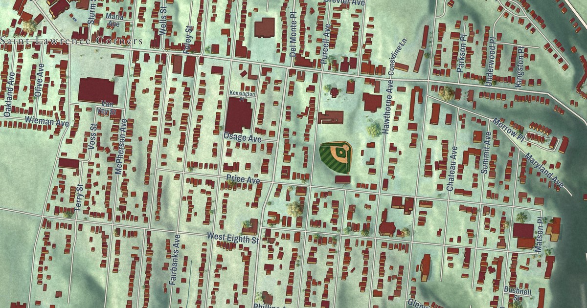
A detailed map of East Price Hill, Ohio, showing every building in its true location, the roads by name, and shaded topographical relief.
Read More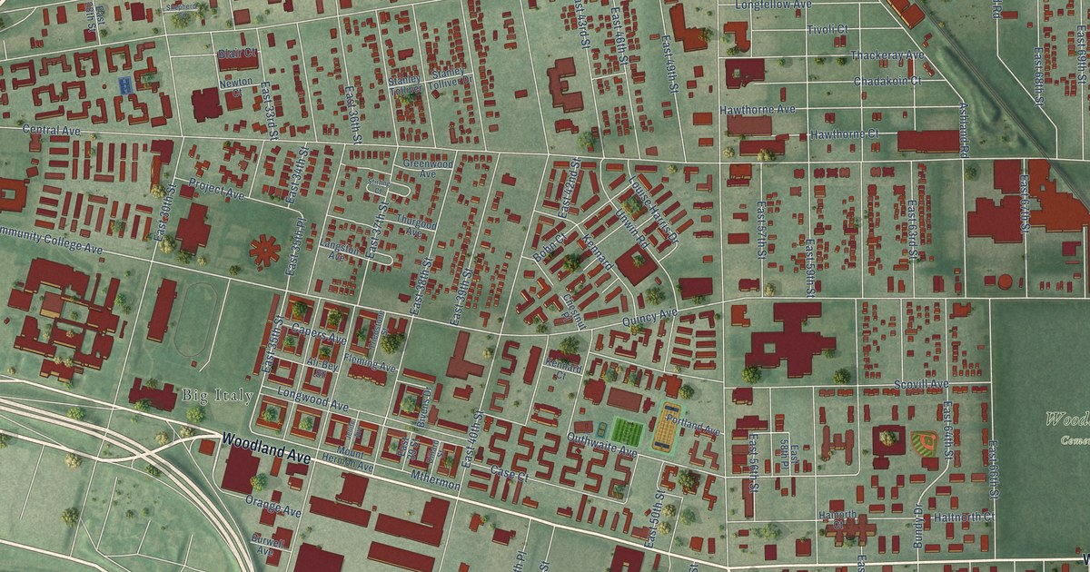
A detailed map of Central, Ohio, showing every building in its true location, the roads by name, and shaded topographical relief.
Read More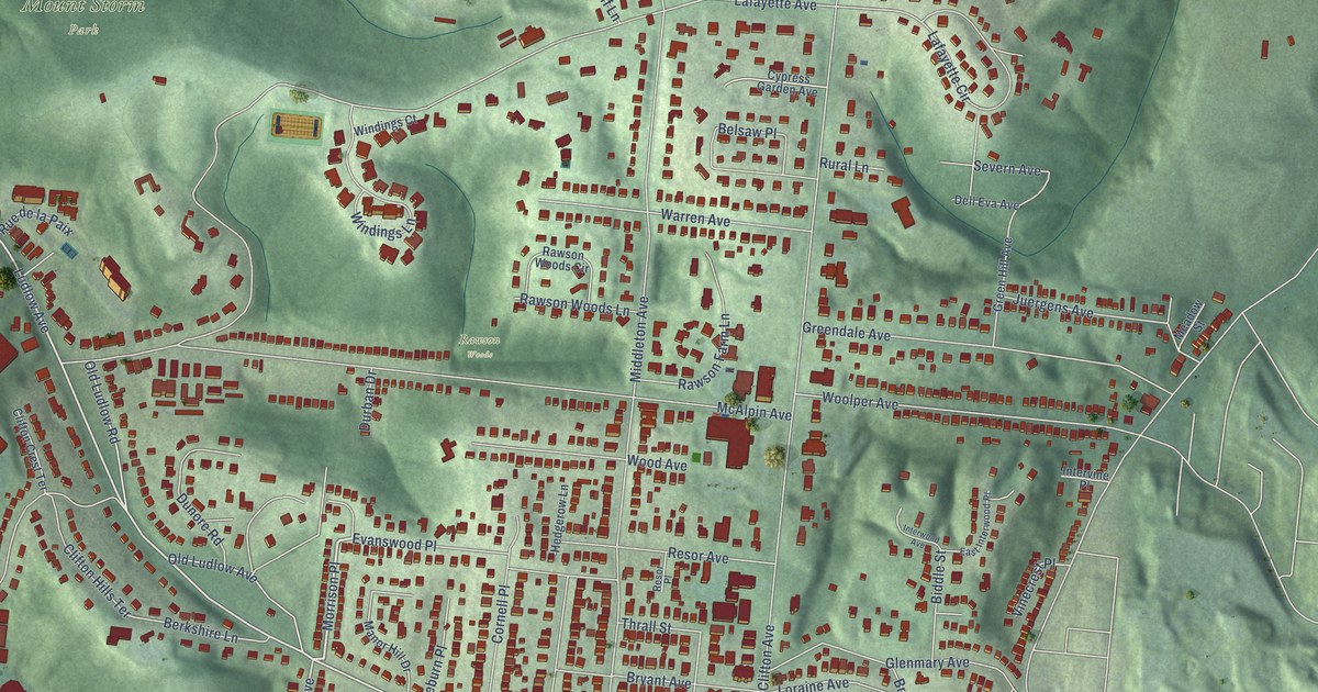
A detailed map of Clifton, Ohio, showing every building in its true location, the roads by name, and shaded topographical relief.
Read More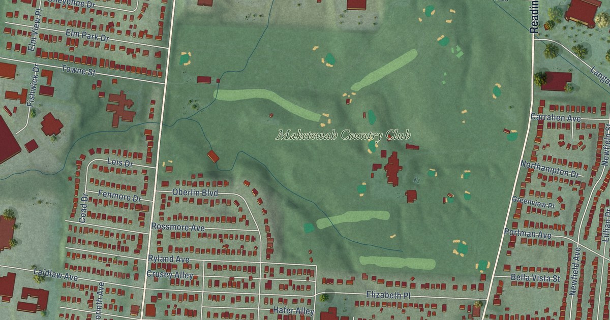
A detailed map of Bond Hill, Ohio, showing every building in its true location, the roads by name, and shaded topographical relief.
Read More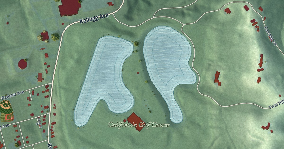
A detailed map of California, Ohio, showing every building in its true location, the roads by name, and shaded topographical relief.
Read More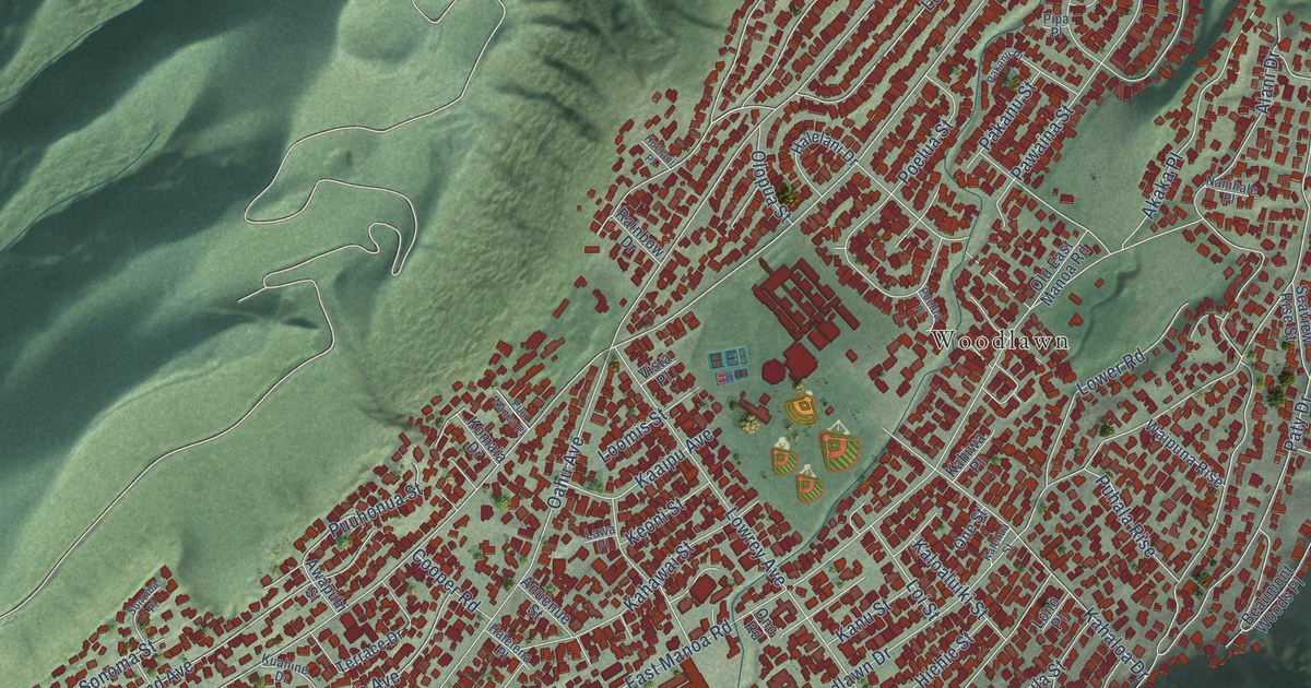
A detailed map of Manoa, Hawaii, showing every building in its true location, the roads by name, and shaded topographical relief.
Read More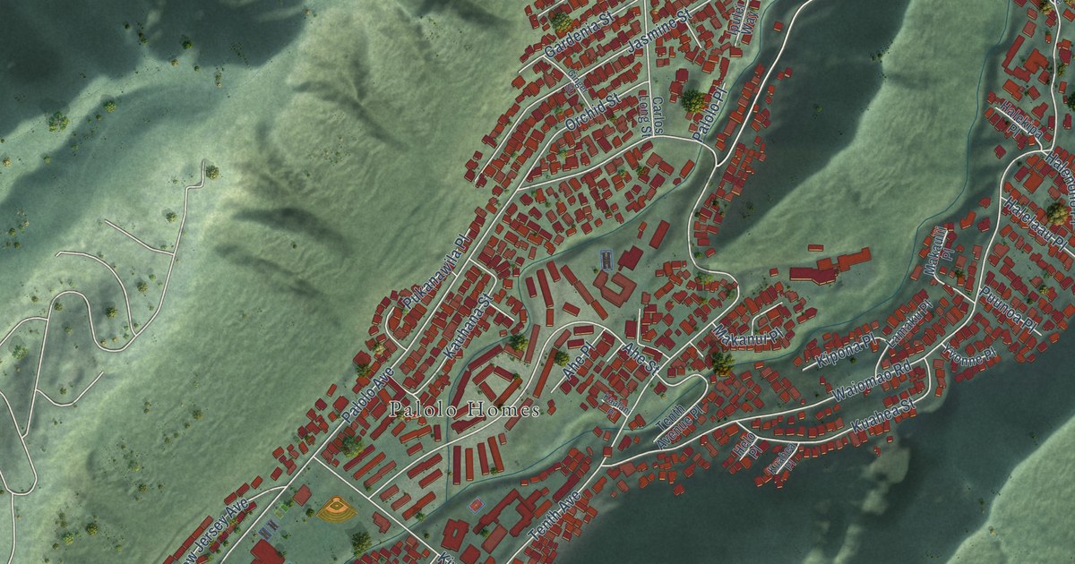
A detailed map of Palolo, Hawaii, showing every building in its true location, the roads by name, and shaded topographical relief.
Read More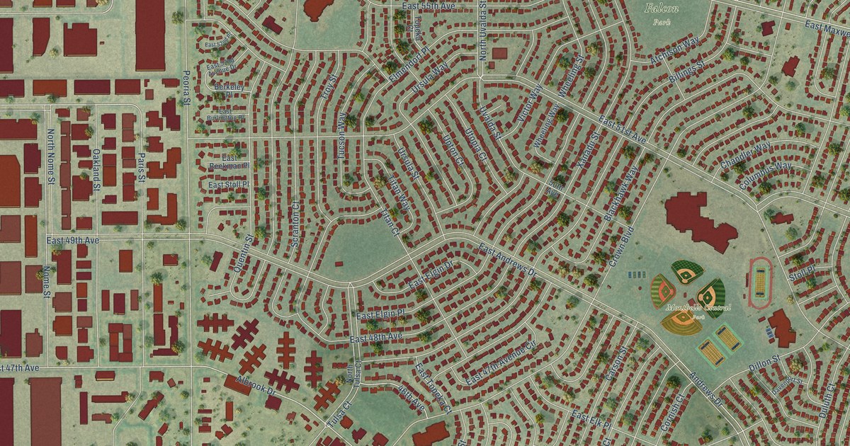
A detailed map of Montbello, Colorado, showing every building in its true location, the roads by name, and shaded topographical relief.
Read More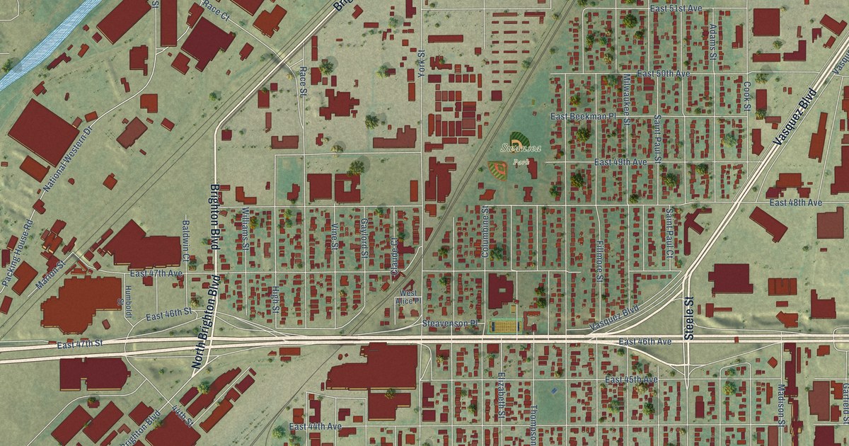
A detailed map of Elyria Swansea, Colorado, showing every building in its true location, the roads by name, and shaded topographical relief.
Read More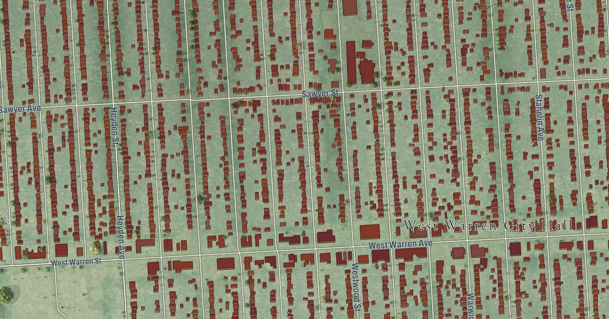
A detailed map of Warrendale, Michigan, showing every building in its true location, the roads by name, and shaded topographical relief.
Read More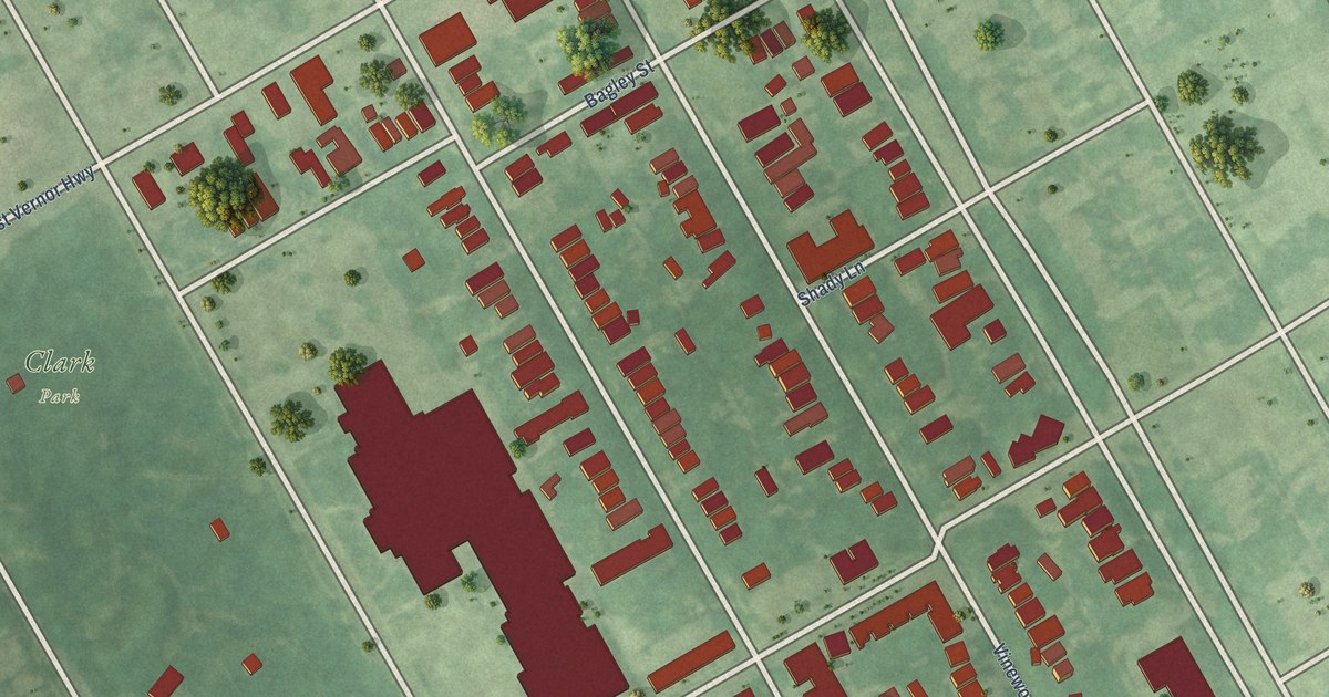
A detailed map of Hubbard Farms, Michigan, showing every building in its true location, the roads by name, and shaded topographical relief.
Read More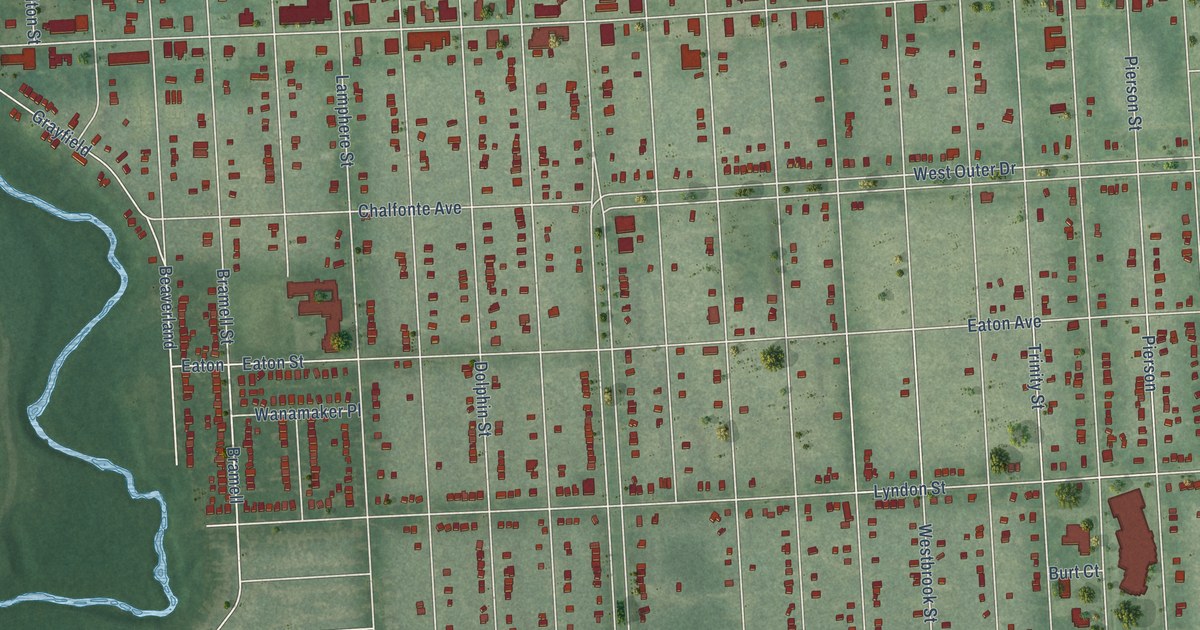
A detailed map of Brightmoor, Michigan, showing every building in its true location, the roads by name, and shaded topographical relief.
Read More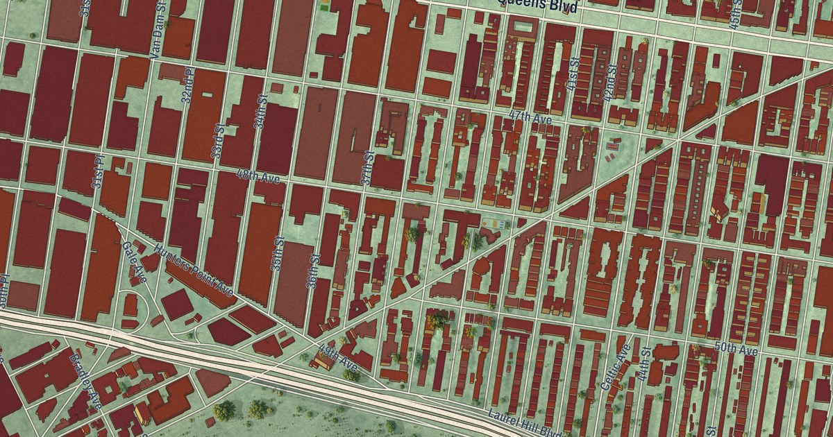
A detailed map of Sunnyside, New York, showing every building in its true location, the roads by name, and shaded topographical relief.
Read More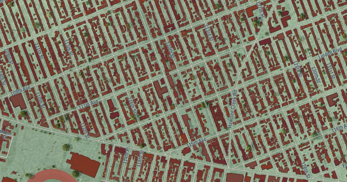
A detailed map of South Ozone Park, New York, showing every building in its true location, the roads by name, and shaded topographical relief.
Read More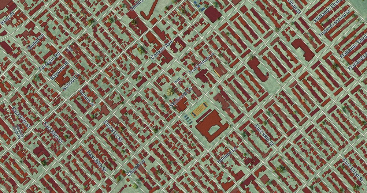
A detailed map of Canarsie, New York, showing every building in its true location, the roads by name, and shaded topographical relief.
Read More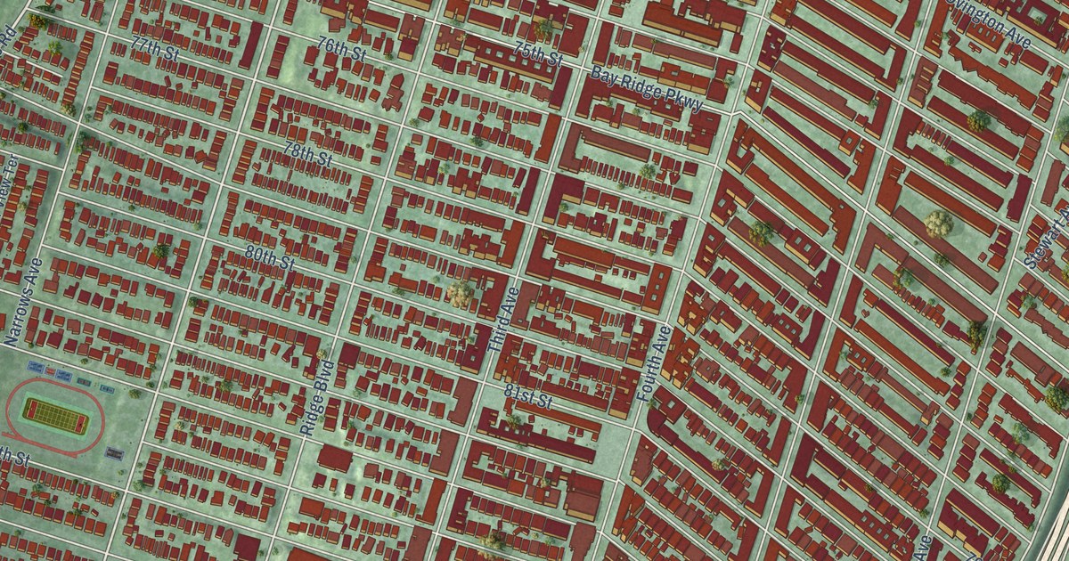
A detailed map of Bay Ridge, New York, showing every building in its true location, the roads by name, and shaded topographical relief.
Read More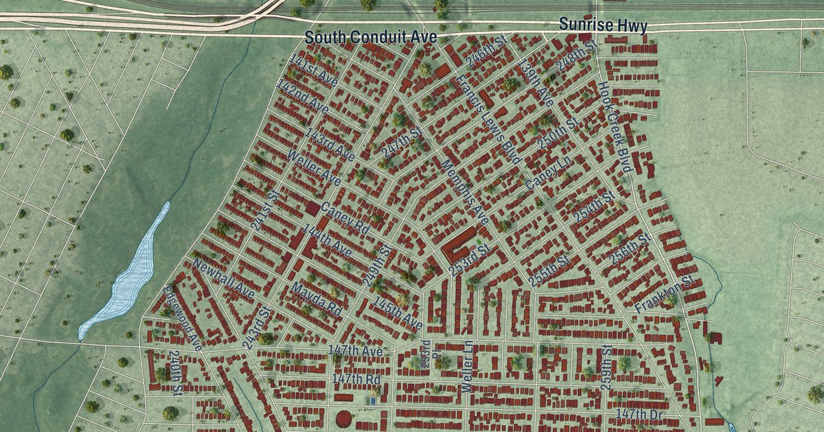
A detailed map of Rosedale, New York, showing every building in its true location, the roads by name, and shaded topographical relief.
Read More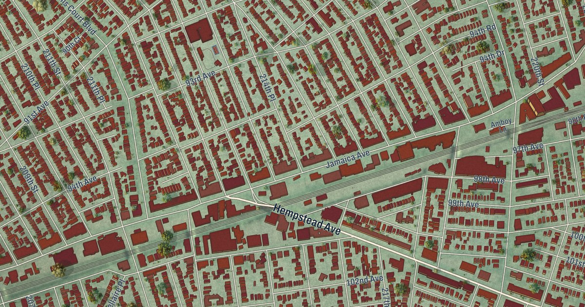
A detailed map of Queens Village, New York, showing every building in its true location, the roads by name, and shaded topographical relief.
Read More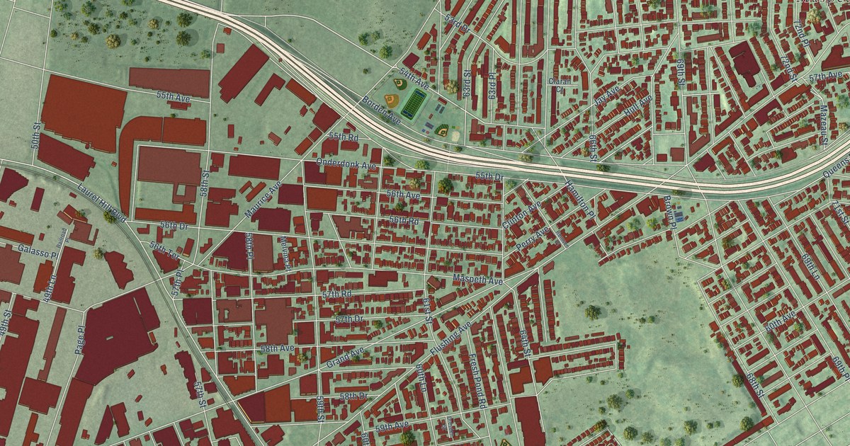
A detailed map of Maspeth, New York, showing every building in its true location, the roads by name, and shaded topographical relief.
Read More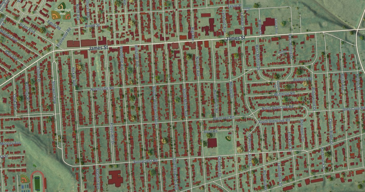
A detailed map of Eastwood, New York, showing every building in its true location, the roads by name, and shaded topographical relief.
Read More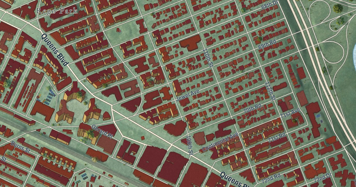
A detailed map of Forest Hills, New York, showing every building in its true location, the roads by name, and shaded topographical relief.
Read More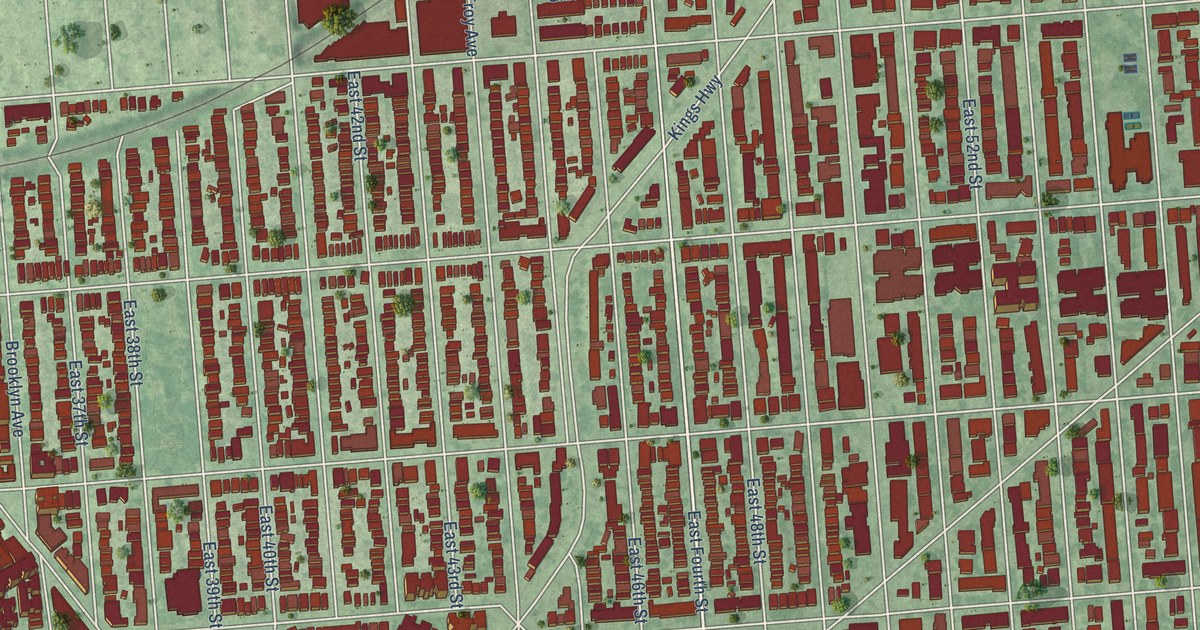
A detailed map of Flatlands, New York, showing every building in its true location, the roads by name, and shaded topographical relief.
Read More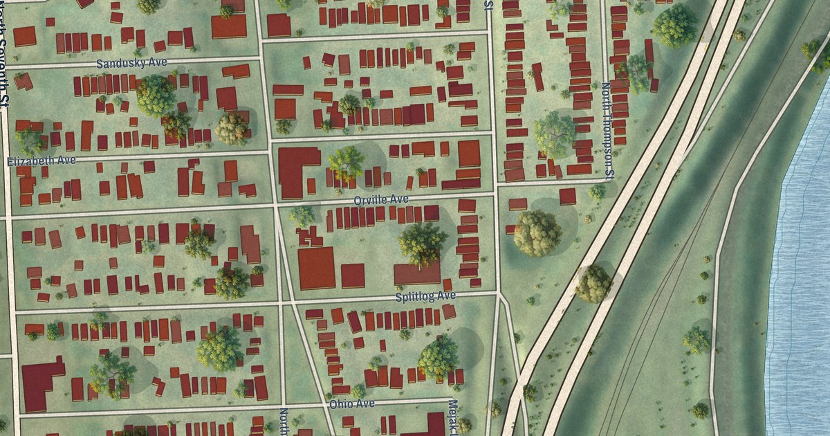
A detailed map of Strawberry Hill, Kansas, showing every building in its true location, the roads by name, and shaded topographical relief.
Read More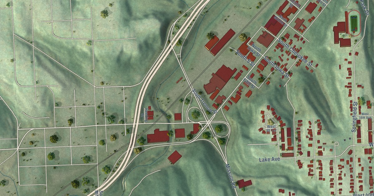
A detailed map of Rosedale, Kansas, showing every building in its true location, the roads by name, and shaded topographical relief.
Read More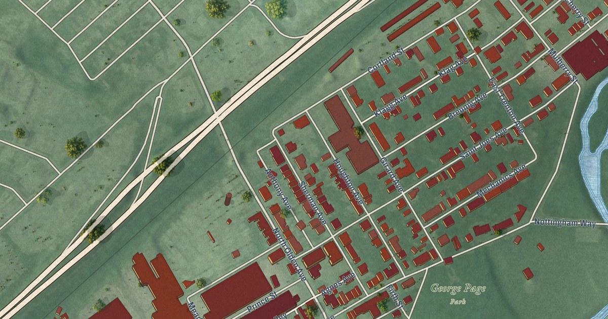
A detailed map of East Trenton, New Jersey, showing every building in its true location, the roads by name, and shaded topographical relief.
Read More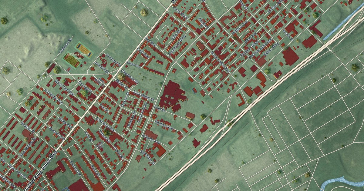
A detailed map of North Trenton, New Jersey, showing every building in its true location, the roads by name, and shaded topographical relief.
Read More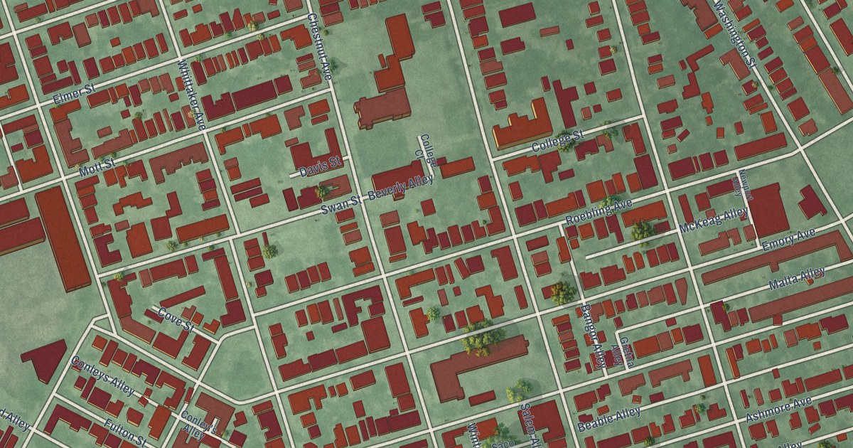
A detailed map of Chambersburg, New Jersey, showing every building in its true location, the roads by name, and shaded topographical relief.
Read More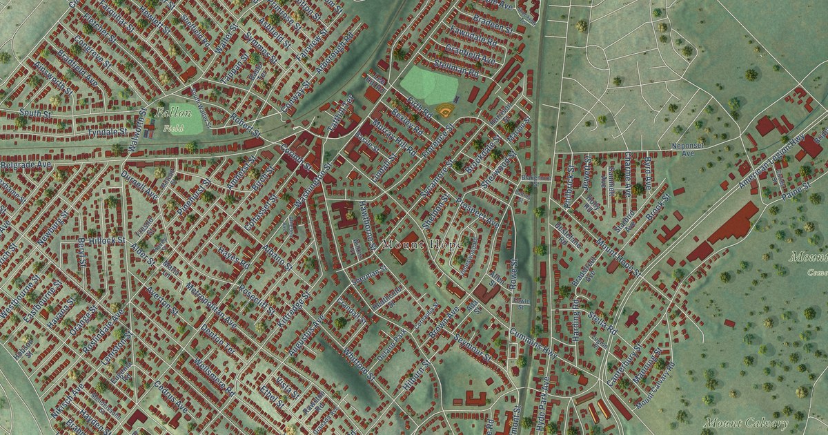
A detailed map of Roslindale, Massachusetts, showing every building in its true location, the roads by name, and shaded topographical relief.
Read More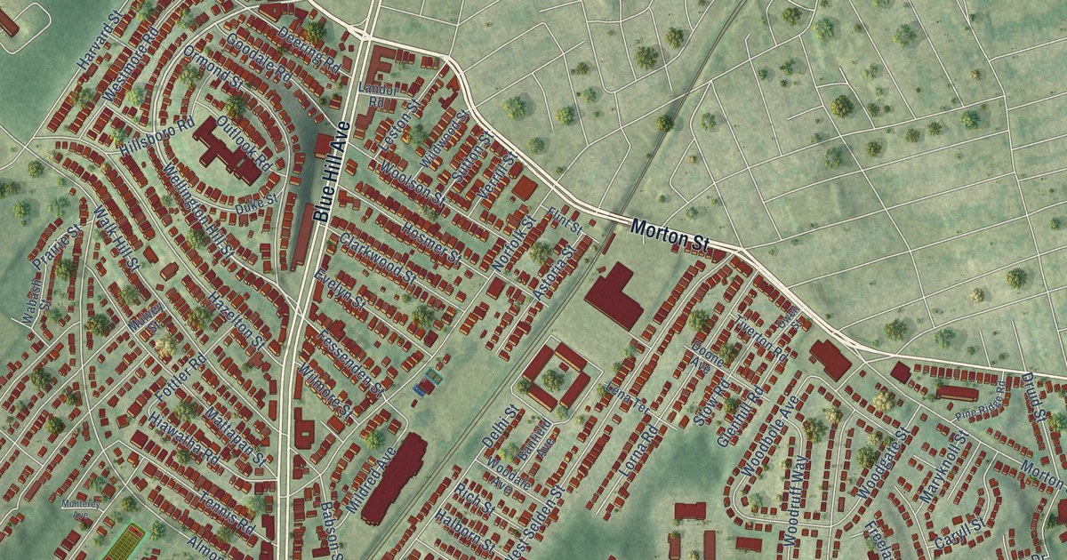
A detailed map of Mattapan, Massachusetts, showing every building in its true location, the roads by name, and shaded topographical relief.
Read More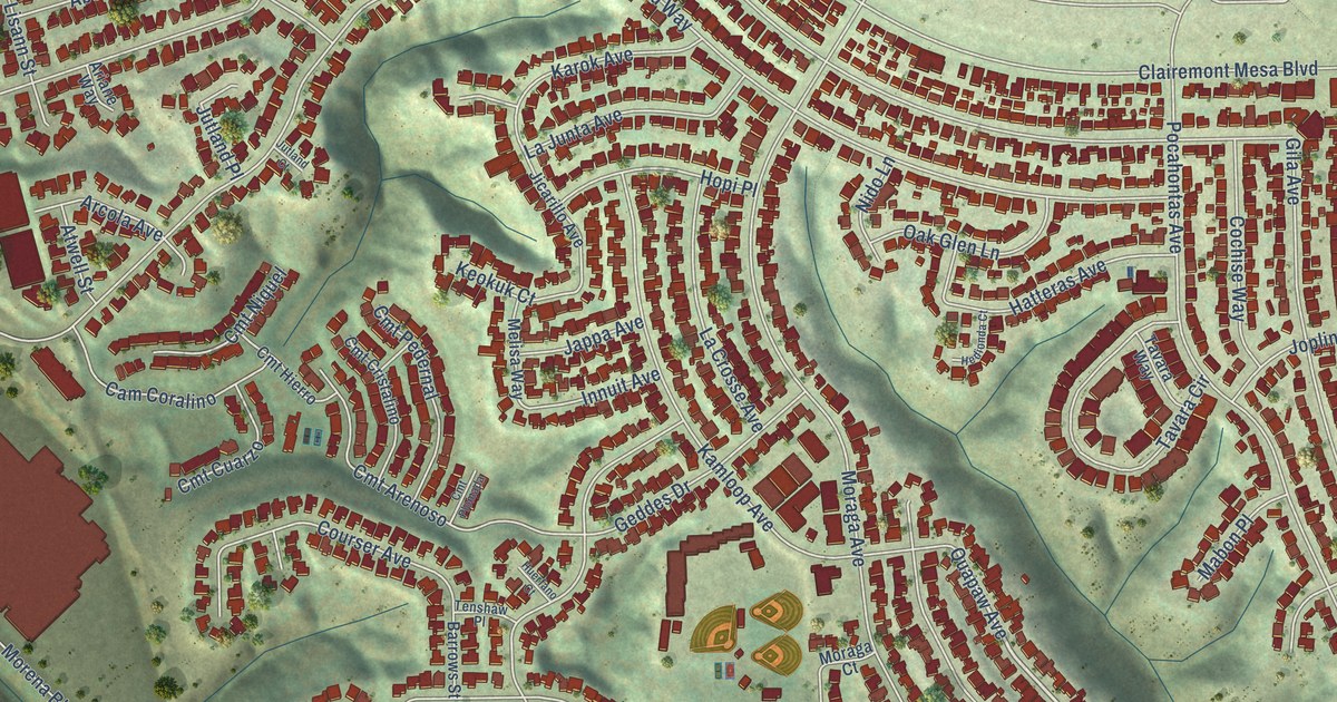
A detailed map of Bay Ho, California, showing every building in its true location, the roads by name, and shaded topographical relief.
Read More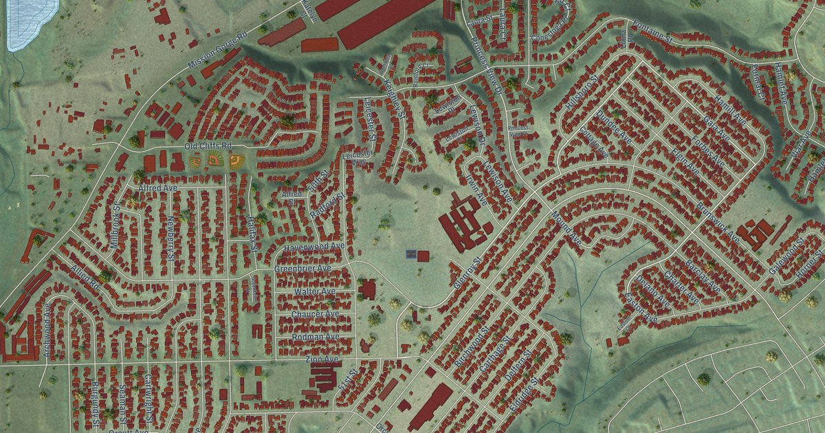
A detailed map of Allied Gardens, California, showing every building in its true location, the roads by name, and shaded topographical relief.
Read More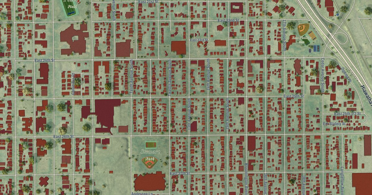
A detailed map of Phillips, Minnesota, showing every building in its true location, the roads by name, and shaded topographical relief.
Read More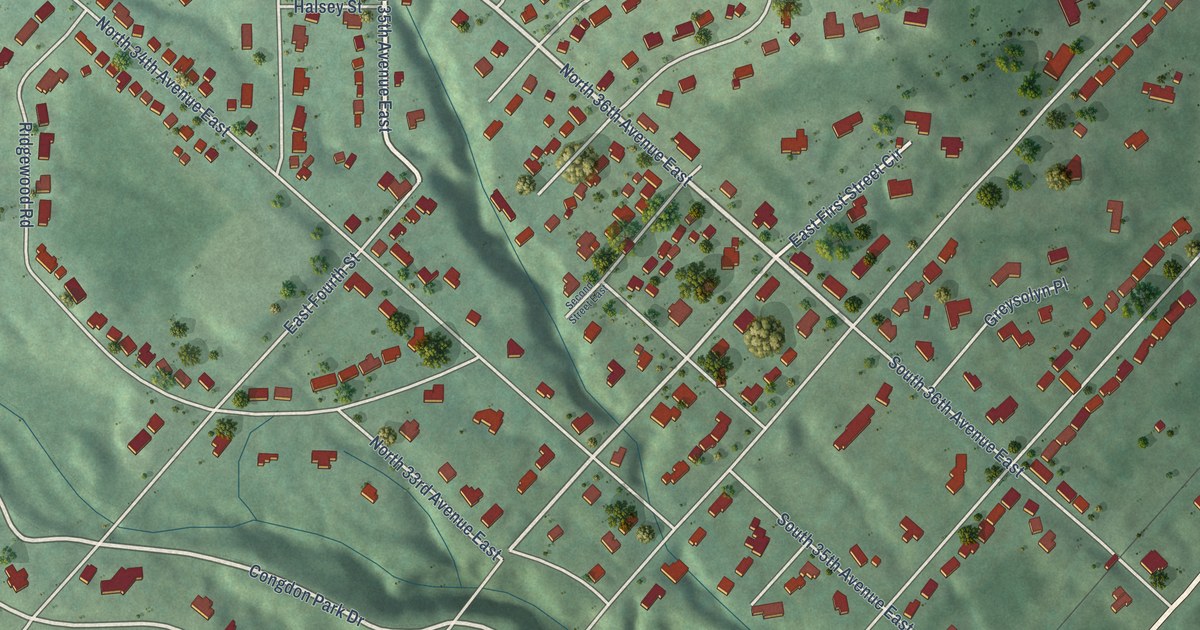
A detailed map of Congdon Park, Minnesota, showing every building in its true location, the roads by name, and shaded topographical relief.
Read More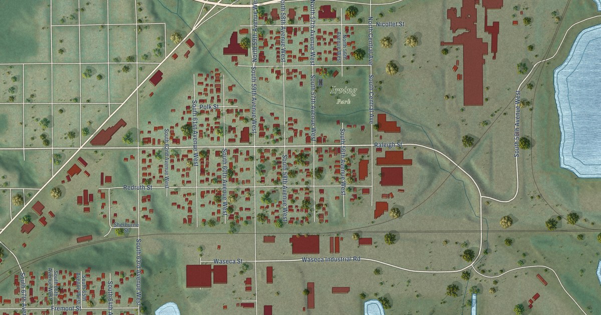
A detailed map of Irving, Minnesota, showing every building in its true location, the roads by name, and shaded topographical relief.
Read More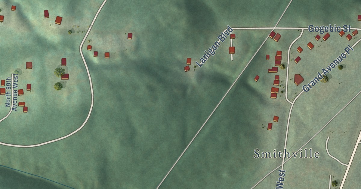
A detailed map of Riverside, Minnesota, showing every building in its true location, the roads by name, and shaded topographical relief.
Read More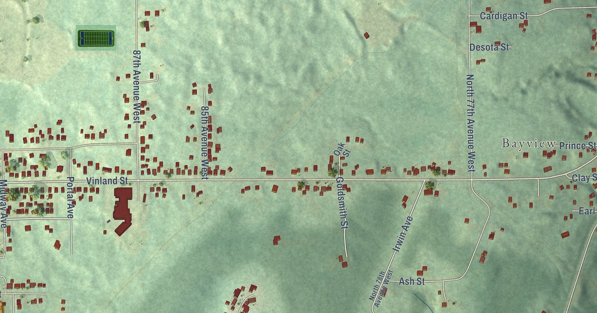
A detailed map of Bayview Heights, Minnesota, showing every building in its true location, the roads by name, and shaded topographical relief.
Read More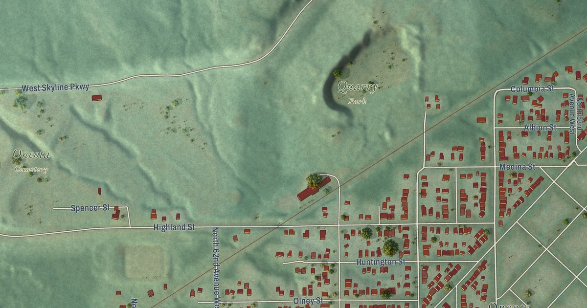
A detailed map of Cody, Minnesota, showing every building in its true location, the roads by name, and shaded topographical relief.
Read More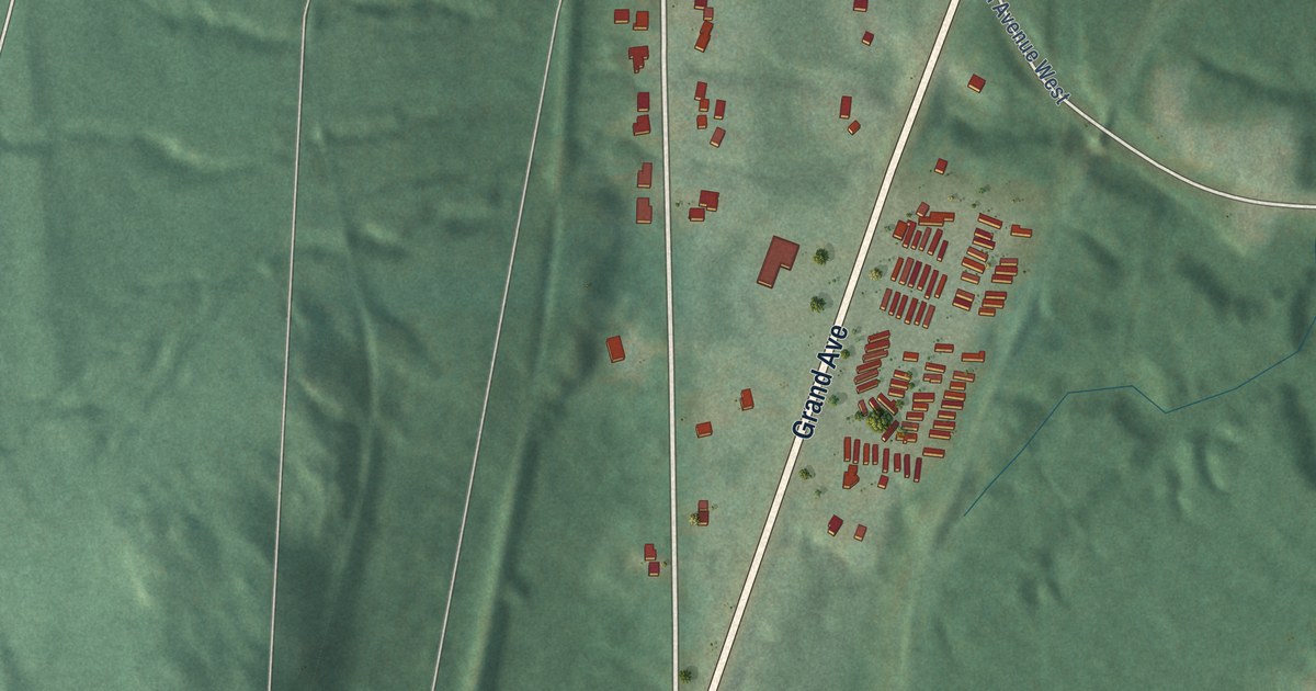
A detailed map of Smithville, Minnesota, showing every building in its true location, the roads by name, and shaded topographical relief.
Read More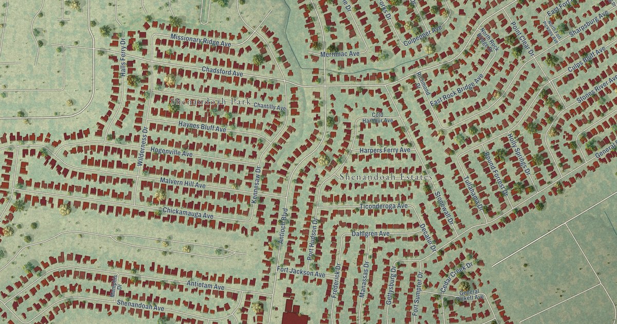
A detailed map of Shenandoah, Louisiana, showing every building in its true location, the roads by name, and shaded topographical relief.
Read More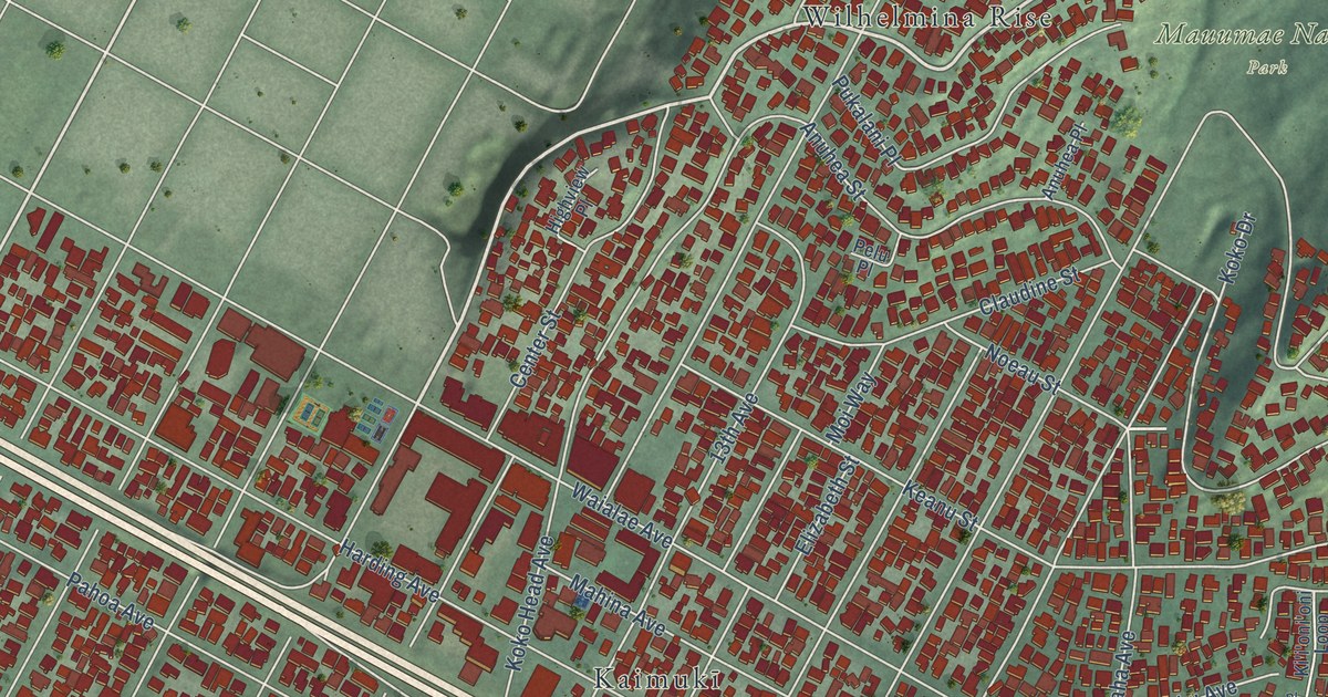
A detailed map of Kaimuki, Hawaii, showing every building in its true location, the roads by name, and shaded topographical relief.
Read More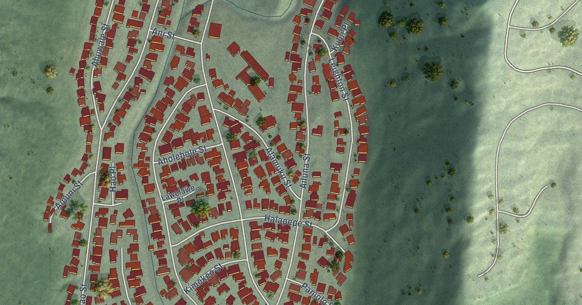
A detailed map of Aina Haina, Hawaii, showing every building in its true location, the roads by name, and shaded topographical relief.
Read More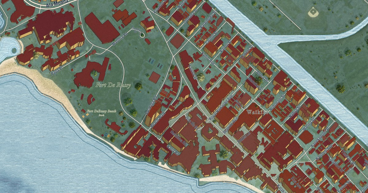
A detailed map of Waikiki, Hawaii, showing every building in its true location, the roads by name, and shaded topographical relief.
Read More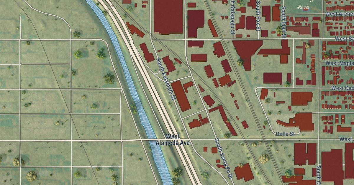
A detailed map of Baker, Colorado, showing every building in its true location, the roads by name, and shaded topographical relief.
Read More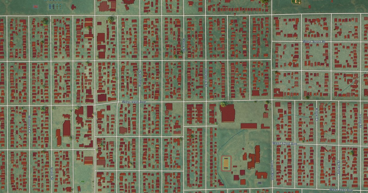
A detailed map of Berkeley, Colorado, showing every building in its true location, the roads by name, and shaded topographical relief.
Read More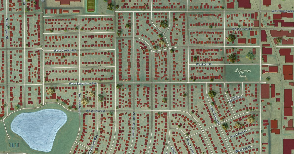
A detailed map of Athmar Park, Colorado, showing every building in its true location, the roads by name, and shaded topographical relief.
Read More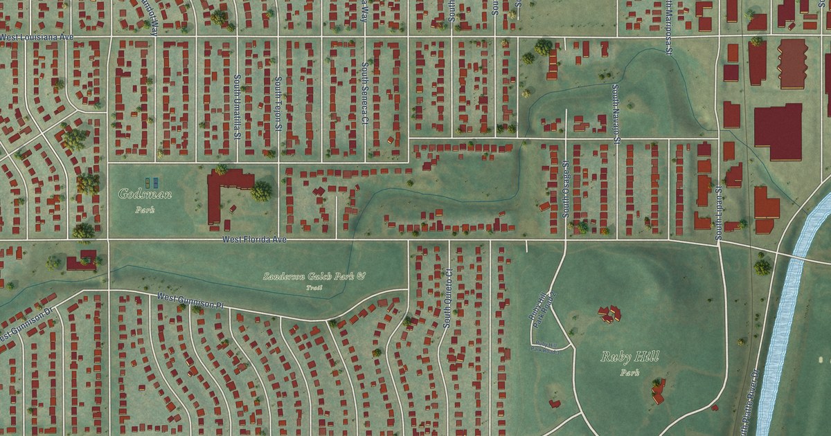
A detailed map of Ruby Hill, Colorado, showing every building in its true location, the roads by name, and shaded topographical relief.
Read More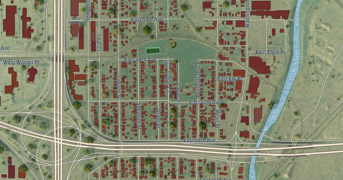
A detailed map of Globeville, Colorado, showing every building in its true location, the roads by name, and shaded topographical relief.
Read More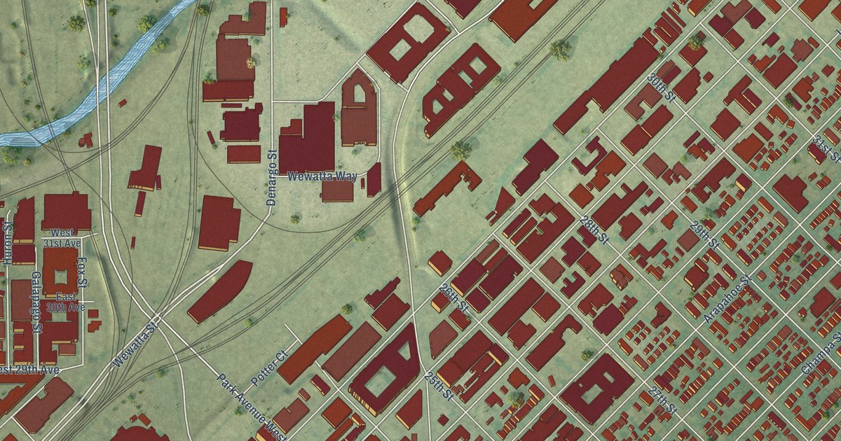
A detailed map of Five Points, Colorado, showing every building in its true location, the roads by name, and shaded topographical relief.
Read More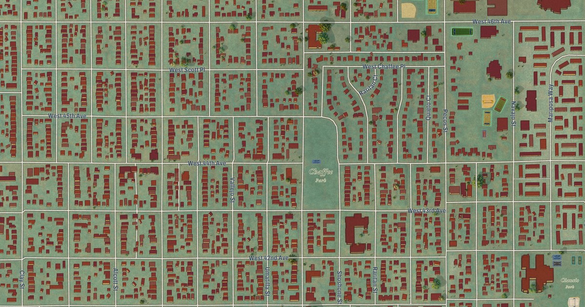
A detailed map of Sunnyside, Colorado, showing every building in its true location, the roads by name, and shaded topographical relief.
Read More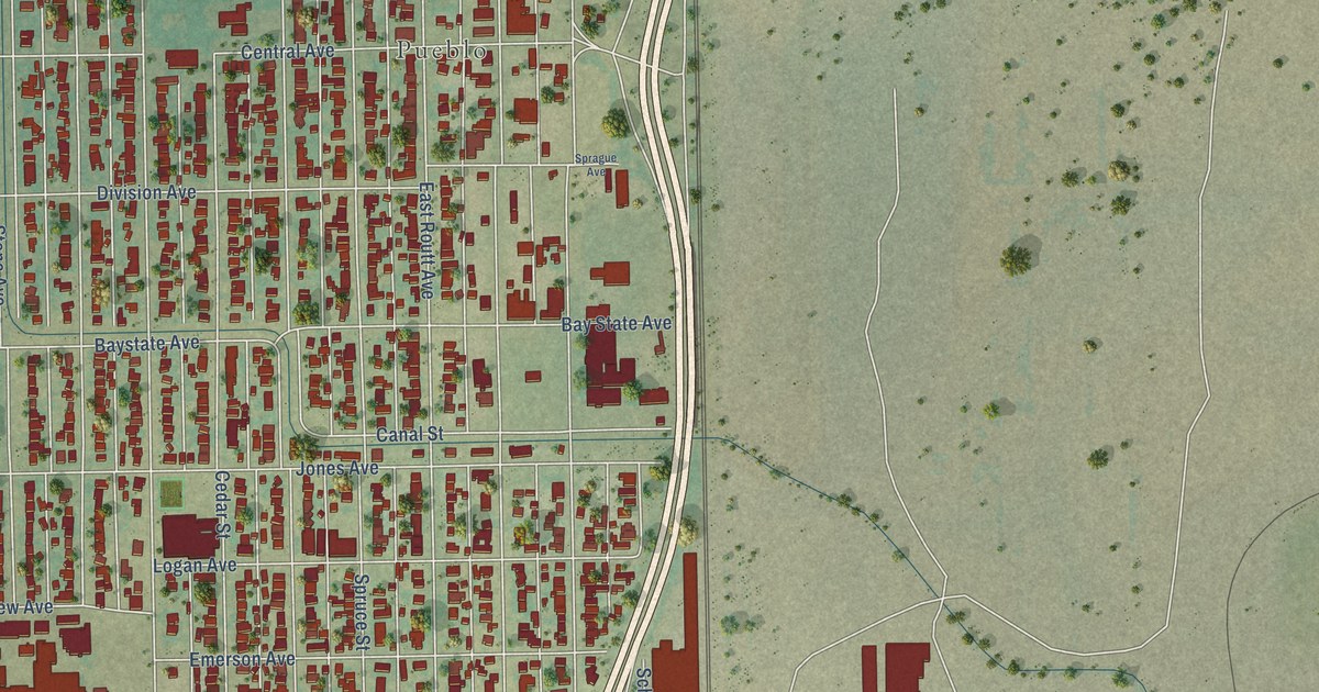
A detailed map of Bessemer, Colorado, showing every building in its true location, the roads by name, and shaded topographical relief.
Read More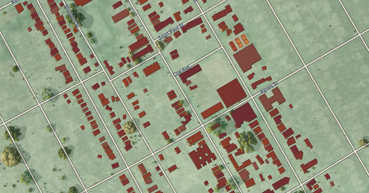
A detailed map of West Village, Michigan, showing every building in its true location, the roads by name, and shaded topographical relief.
Read More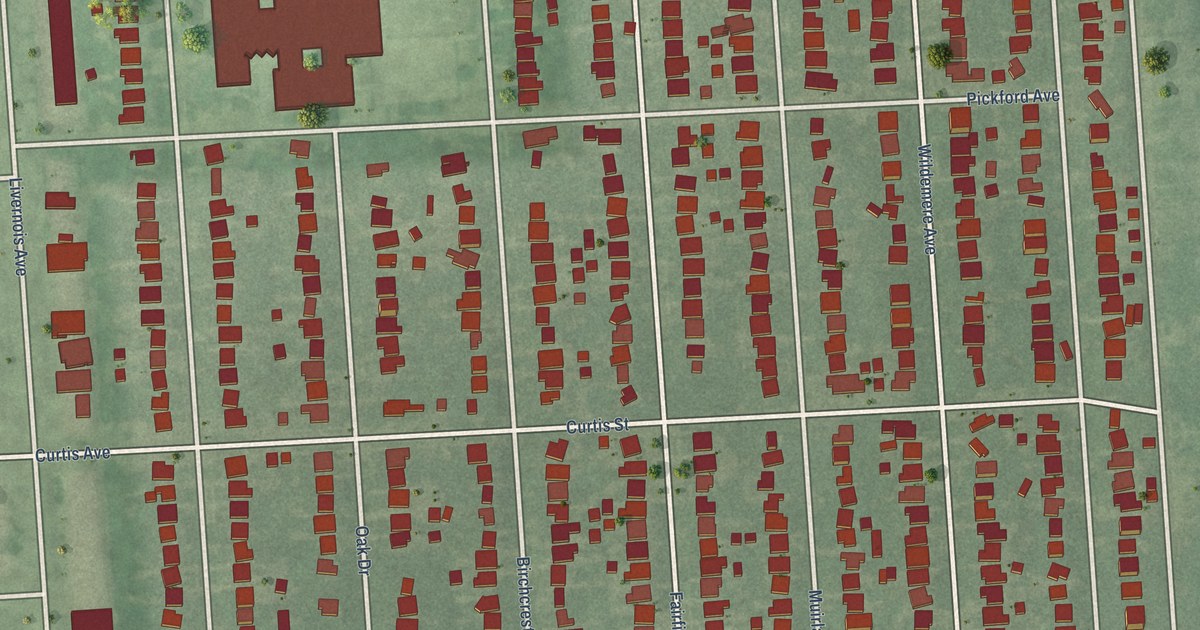
A detailed map of University District, Michigan, showing every building in its true location, the roads by name, and shaded topographical relief.
Read More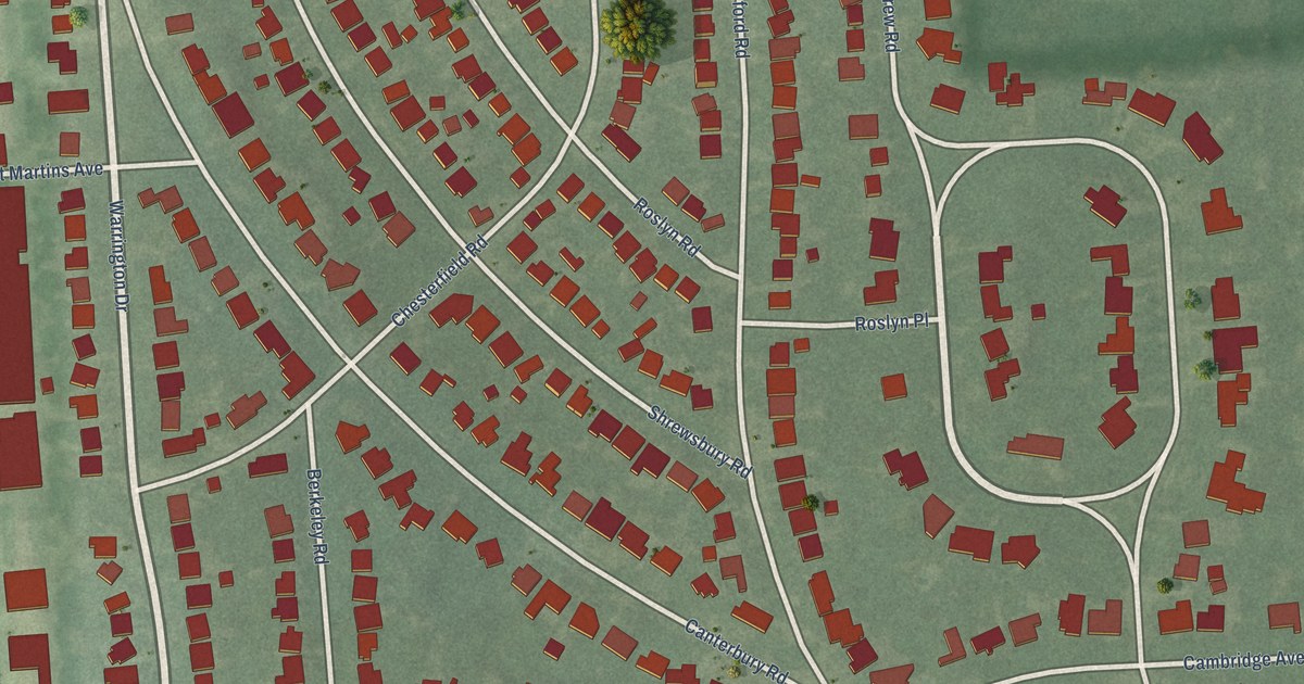
A detailed map of Sherwood Forest, Michigan, showing every building in its true location, the roads by name, and shaded topographical relief.
Read More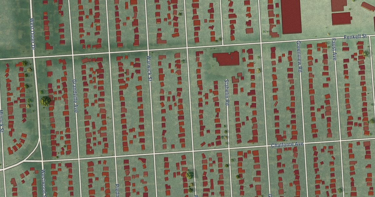
A detailed map of Rosedale Park, Michigan, showing every building in its true location, the roads by name, and shaded topographical relief.
Read More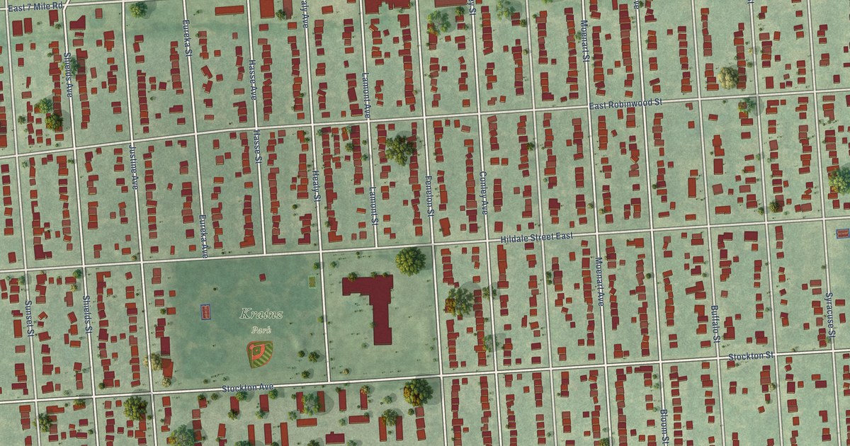
A detailed map of Krainz Woods, Michigan, showing every building in its true location, the roads by name, and shaded topographical relief.
Read More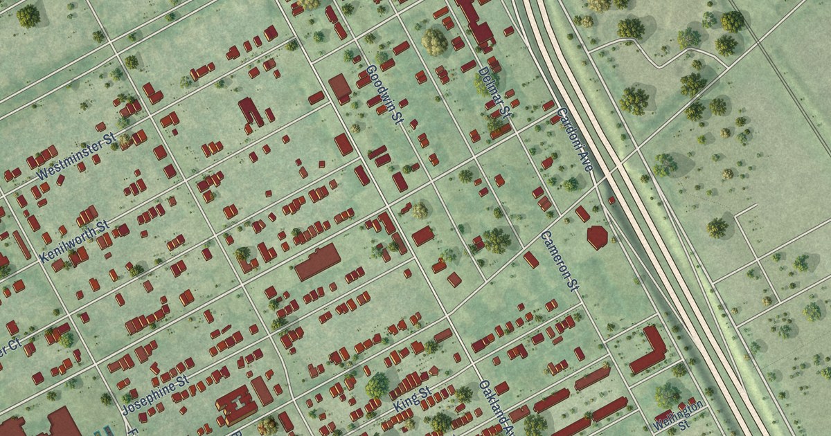
A detailed map of North End, Michigan, showing every building in its true location, the roads by name, and shaded topographical relief.
Read More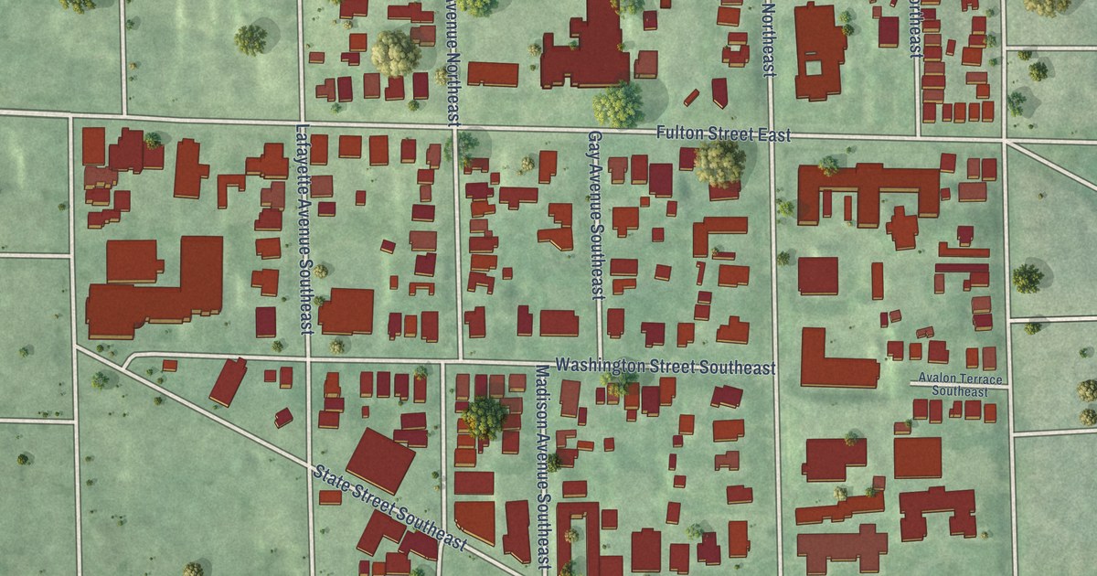
A detailed map of Heritage Hill, Michigan, showing every building in its true location, the roads by name, and shaded topographical relief.
Read More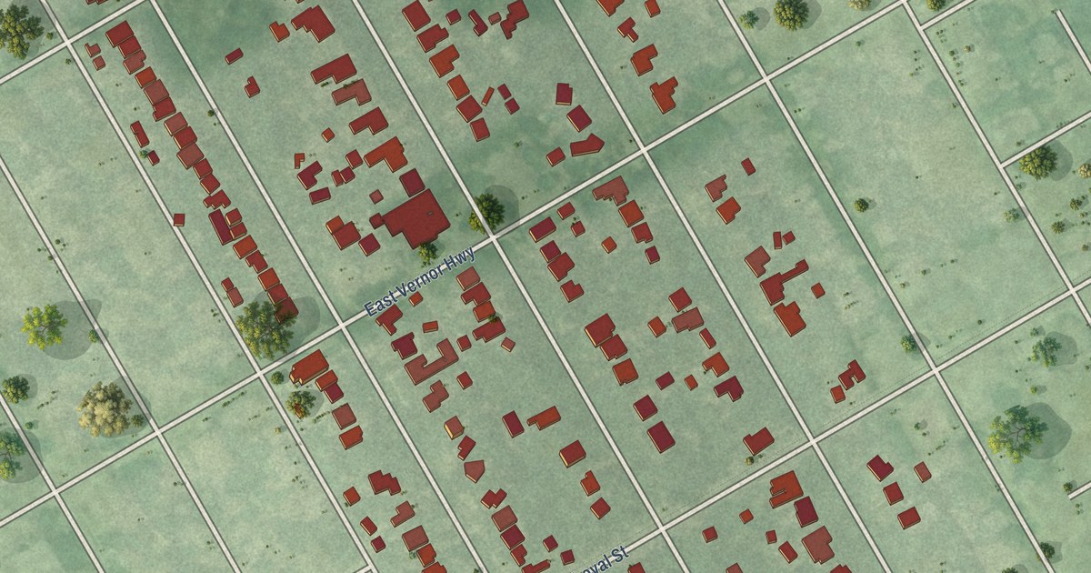
A detailed map of Indian Village, Michigan, showing every building in its true location, the roads by name, and shaded topographical relief.
Read More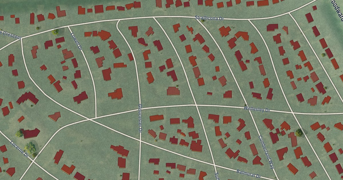
A detailed map of Palmer Woods, Michigan, showing every building in its true location, the roads by name, and shaded topographical relief.
Read More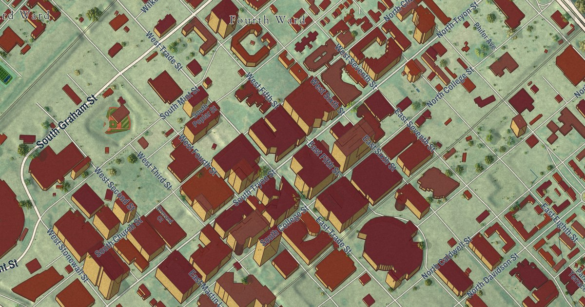
A detailed map of Uptown, North Carolina, showing every building in its true location, the roads by name, and shaded topographical relief.
Read More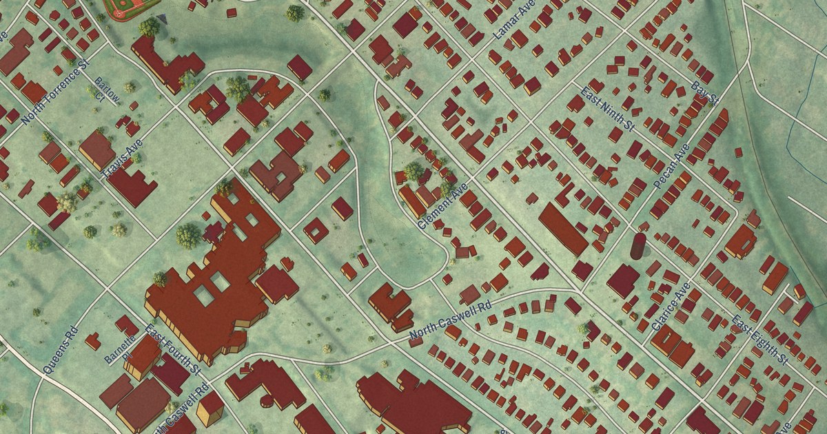
A detailed map of Elizabeth, North Carolina, showing every building in its true location, the roads by name, and shaded topographical relief.
Read More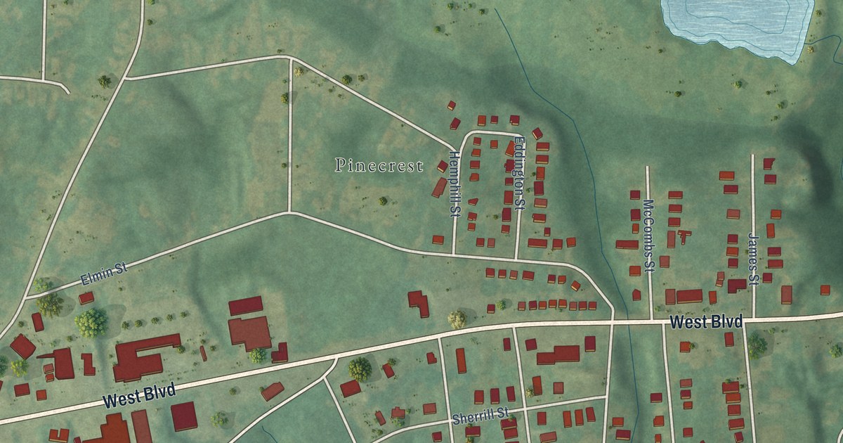
A detailed map of Reid Park, North Carolina, showing every building in its true location, the roads by name, and shaded topographical relief.
Read More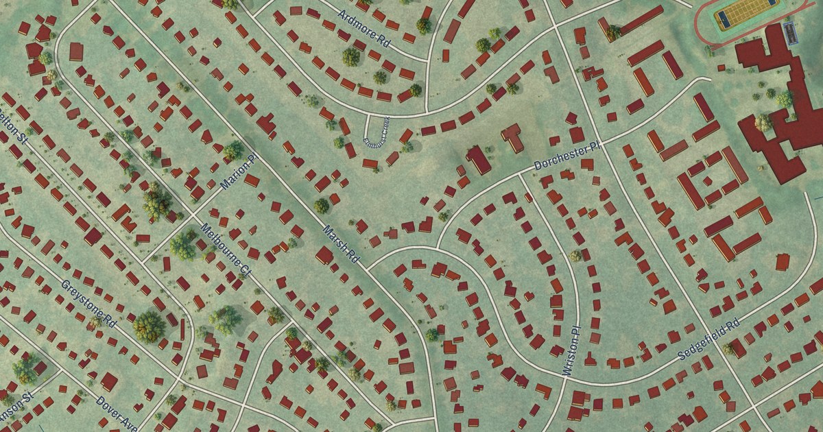
A detailed map of Sedgefield, North Carolina, showing every building in its true location, the roads by name, and shaded topographical relief.
Read More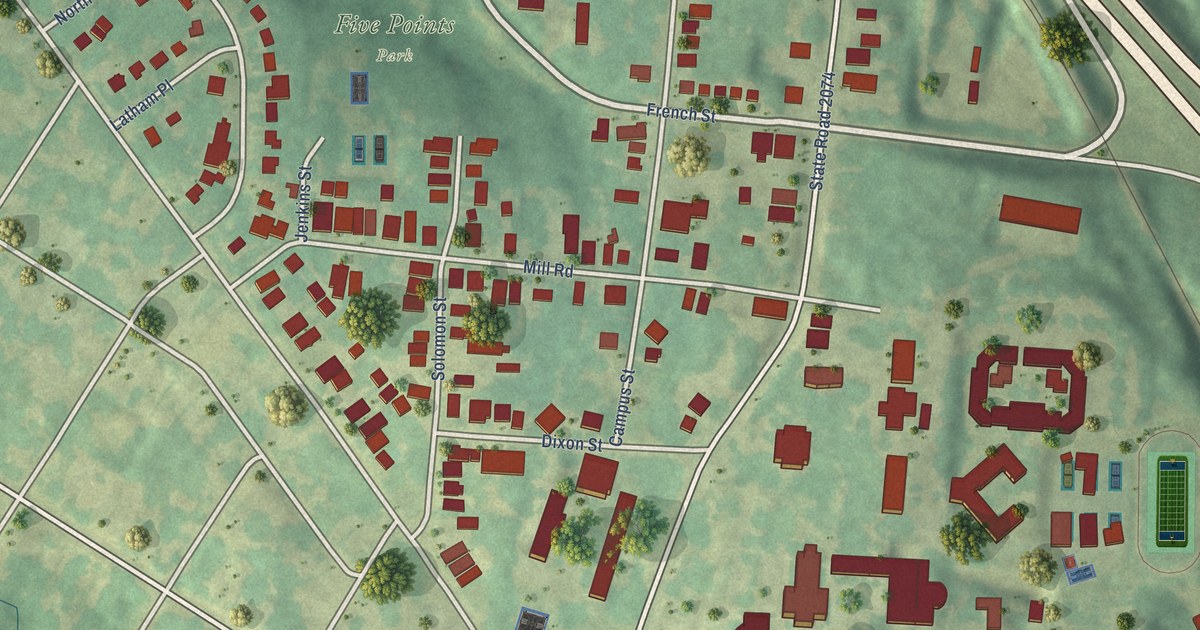
A detailed map of Biddleville, North Carolina, showing every building in its true location, the roads by name, and shaded topographical relief.
Read More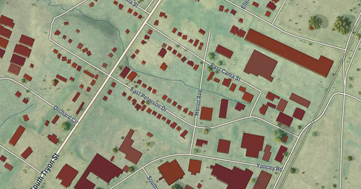
A detailed map of York Road, North Carolina, showing every building in its true location, the roads by name, and shaded topographical relief.
Read More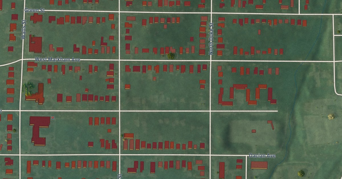
A detailed map of Trinity Park, North Carolina, showing every building in its true location, the roads by name, and shaded topographical relief.
Read More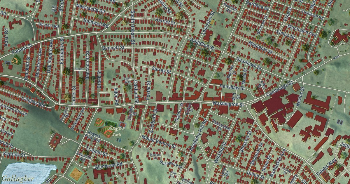
A detailed map of Brighton, Massachusetts, showing every building in its true location, the roads by name, and shaded topographical relief.
Read More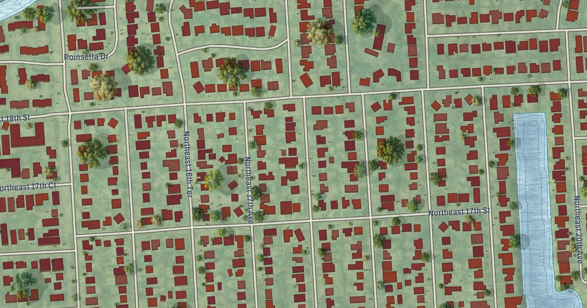
A detailed map of Poinsettia Heights, Florida, showing every building in its true location, the roads by name, and shaded topographical relief.
Read More















