Detailed Map of Fort Mill, South Carolina
A detailed map of Fort Mill, South Carolina, showing every building in its true location, the roads by name, and shaded topographical relief.
Read More
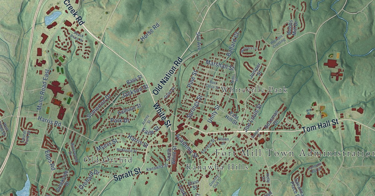
A detailed map of Fort Mill, South Carolina, showing every building in its true location, the roads by name, and shaded topographical relief.
Read More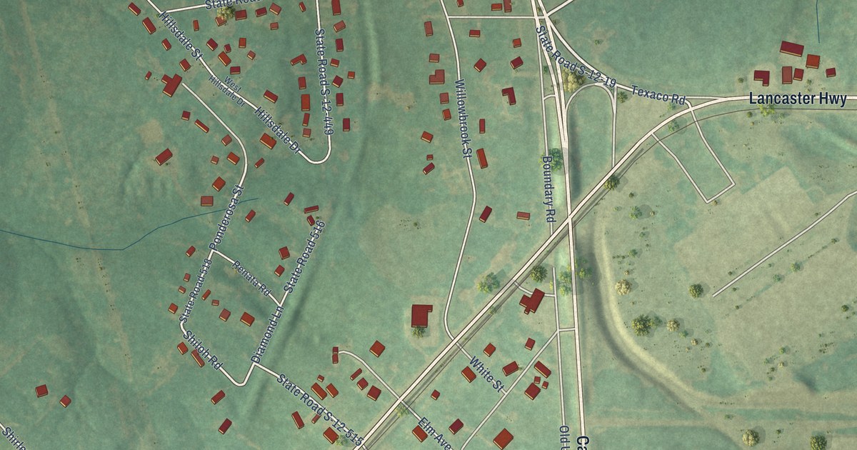
A detailed map of Fort Lawn, South Carolina, showing every building in its true location, the roads by name, and shaded topographical relief.
Read More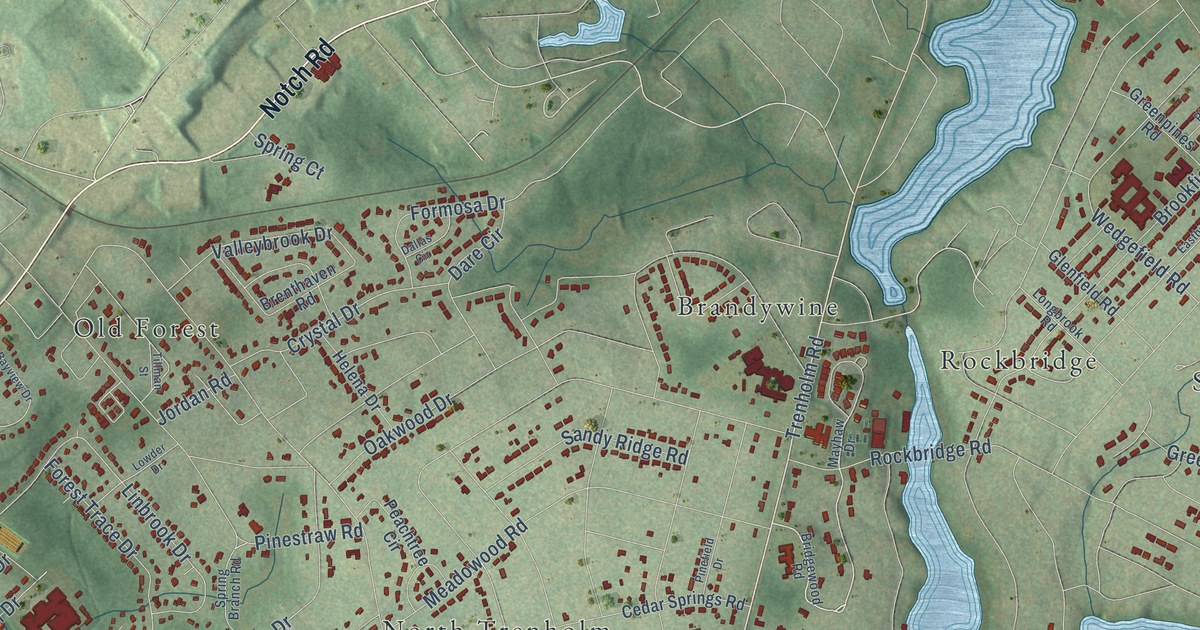
A detailed map of Forest Acres, South Carolina, showing every building in its true location, the roads by name, and shaded topographical relief.
Read More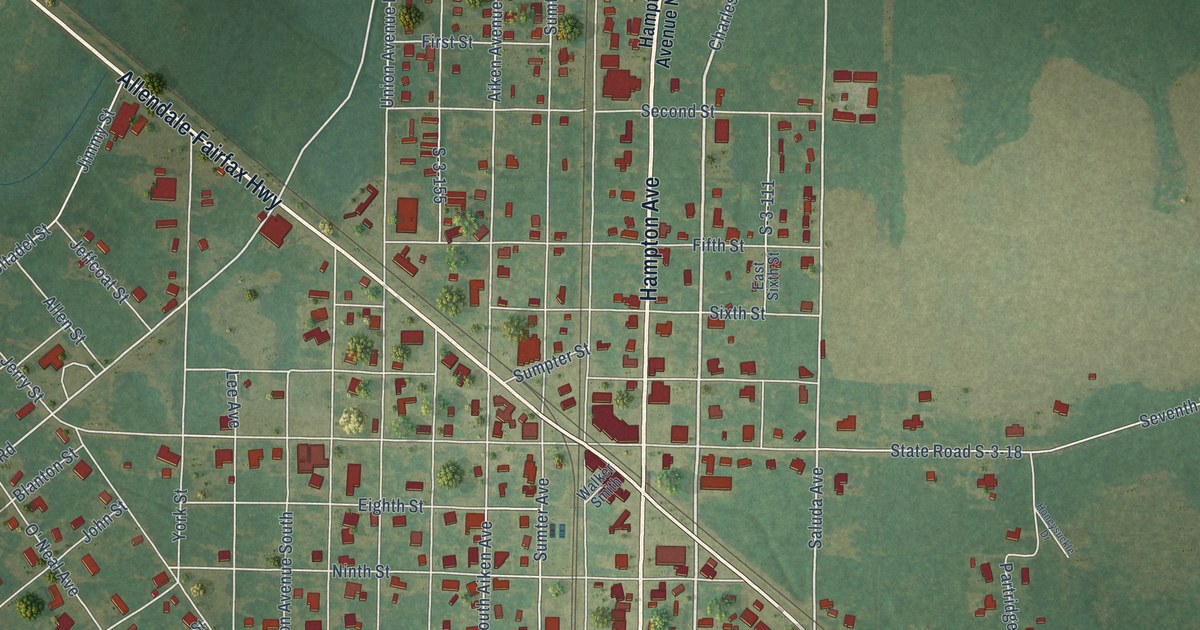
A detailed map of Fairfax, South Carolina, showing every building in its true location, the roads by name, and shaded topographical relief.
Read More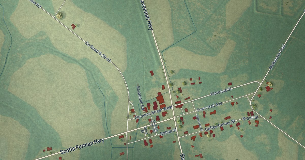
A detailed map of Furman, South Carolina, showing every building in its true location, the roads by name, and shaded topographical relief.
Read More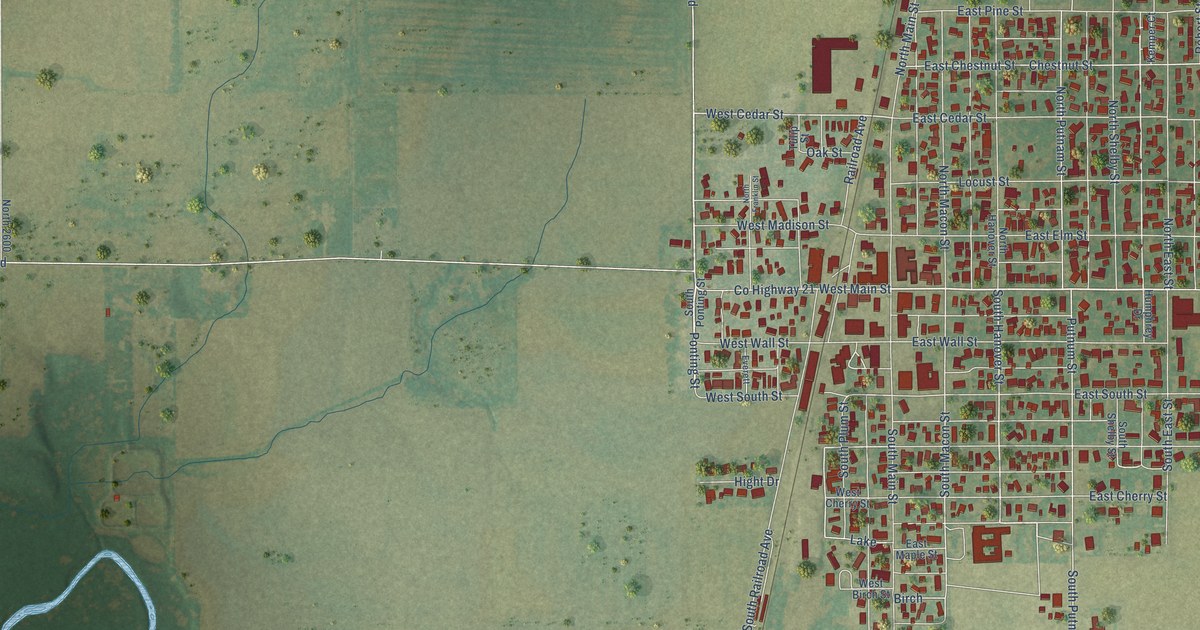
A detailed map of Moweaqua, Illinois, showing every building in its true location, the roads by name, and shaded topographical relief.
Read More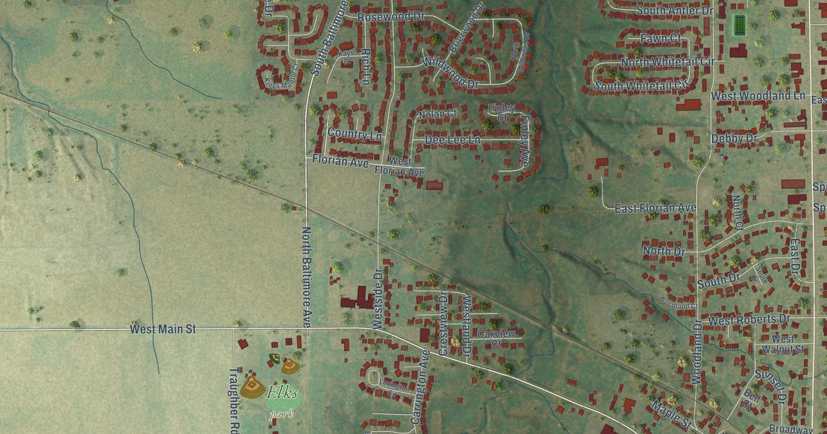
A detailed map of Mount Zion, Illinois, showing every building in its true location, the roads by name, and shaded topographical relief.
Read More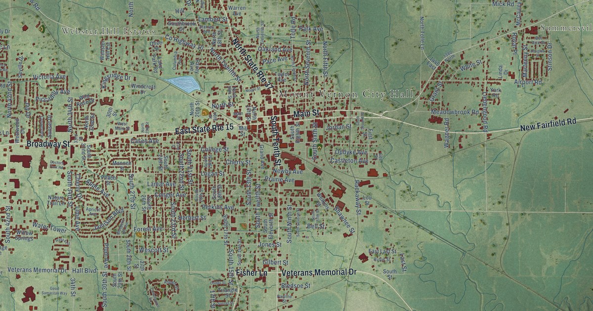
A detailed map of Mount Vernon, Illinois, showing every building in its true location, the roads by name, and shaded topographical relief.
Read More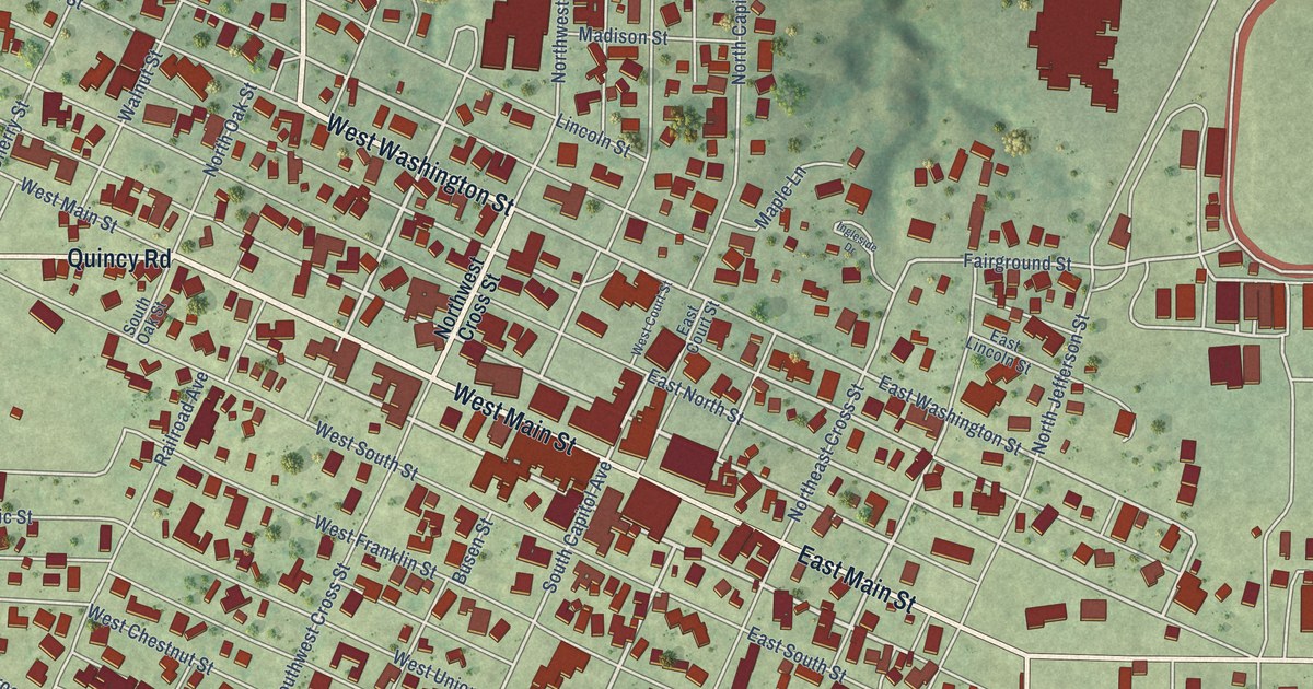
A detailed map of Mount Sterling, Illinois, showing every building in its true location, the roads by name, and shaded topographical relief.
Read More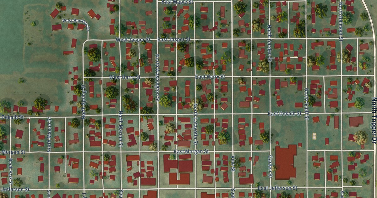
A detailed map of Mount Pulaski, Illinois, showing every building in its true location, the roads by name, and shaded topographical relief.
Read More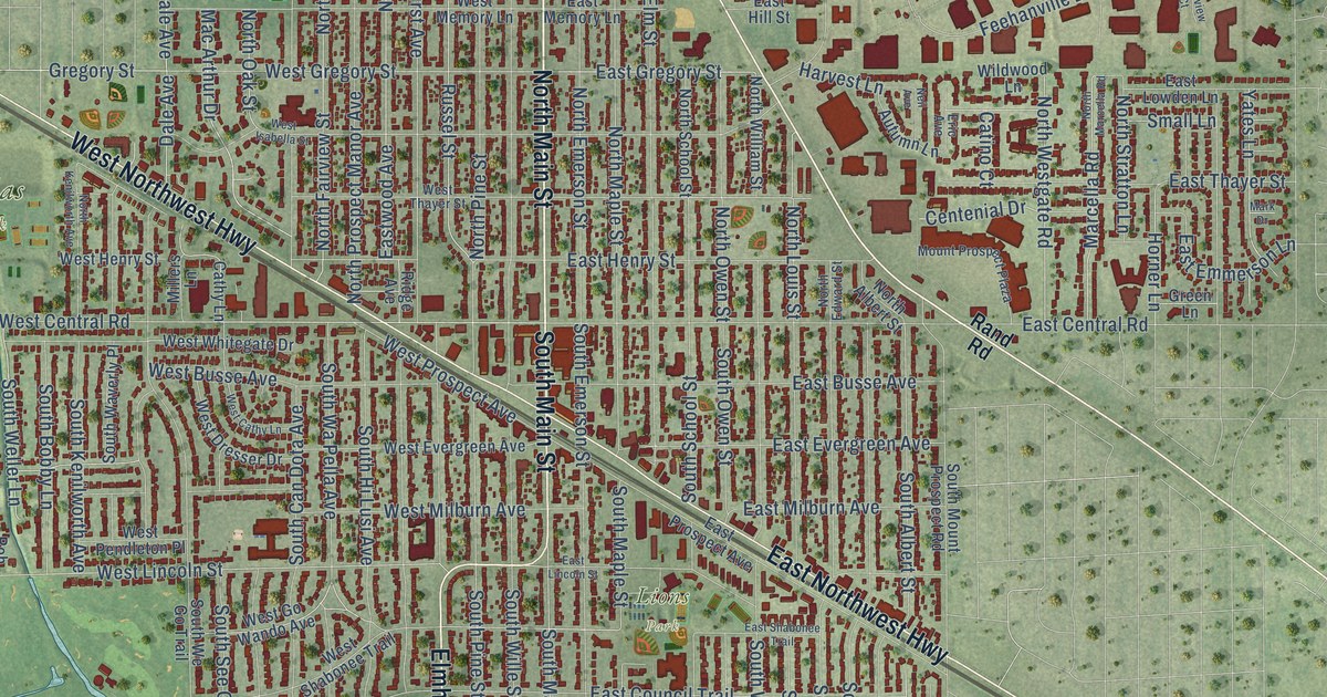
A detailed map of Mount Prospect, Illinois, showing every building in its true location, the roads by name, and shaded topographical relief.
Read More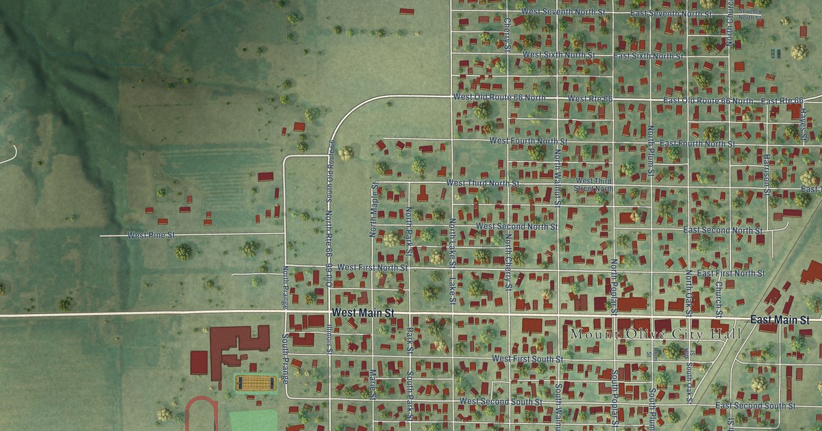
A detailed map of Mount Olive, Illinois, showing every building in its true location, the roads by name, and shaded topographical relief.
Read More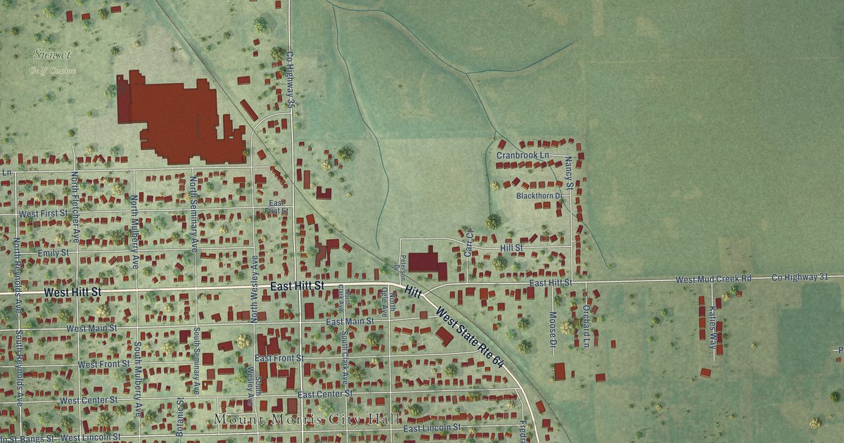
A detailed map of Mount Morris, Illinois, showing every building in its true location, the roads by name, and shaded topographical relief.
Read More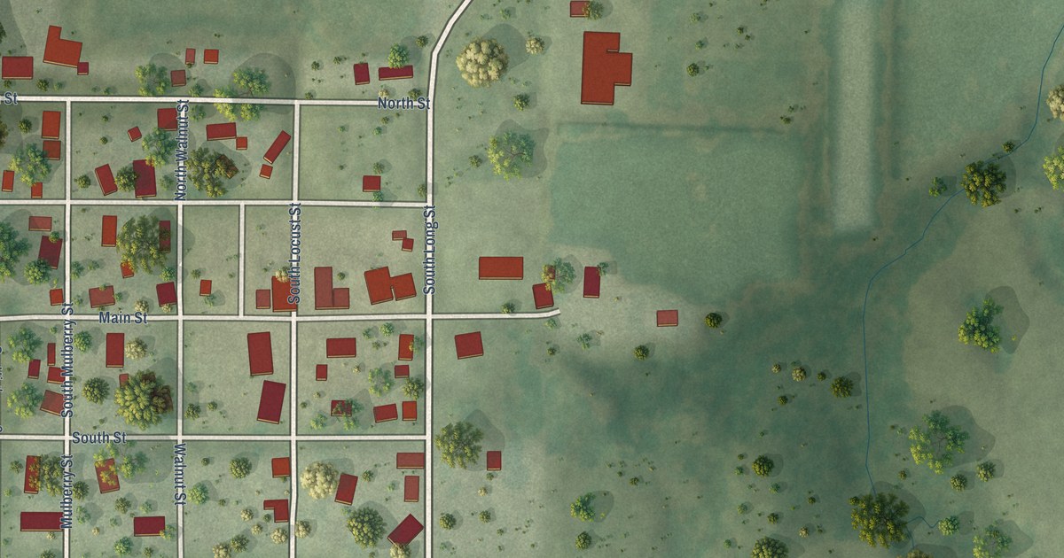
A detailed map of Mount Erie, Illinois, showing every building in its true location, the roads by name, and shaded topographical relief.
Read More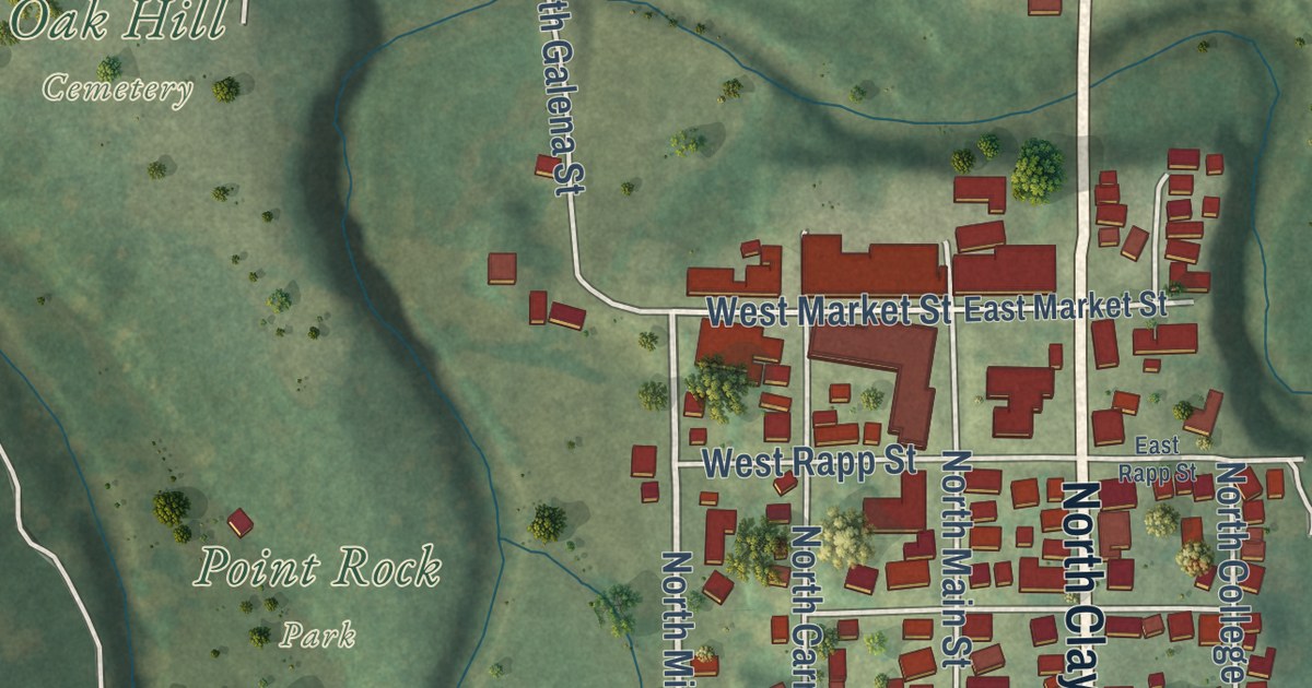
A detailed map of Mount Carroll, Illinois, showing every building in its true location, the roads by name, and shaded topographical relief.
Read More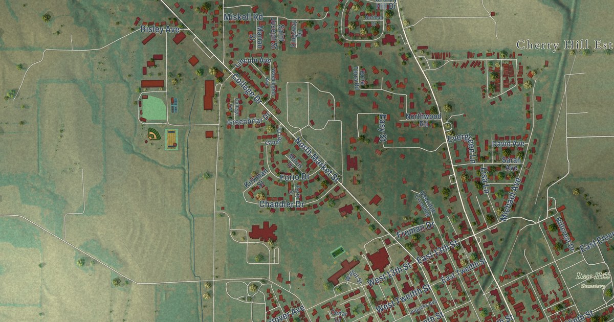
A detailed map of Mount Carmel, Illinois, showing every building in its true location, the roads by name, and shaded topographical relief.
Read More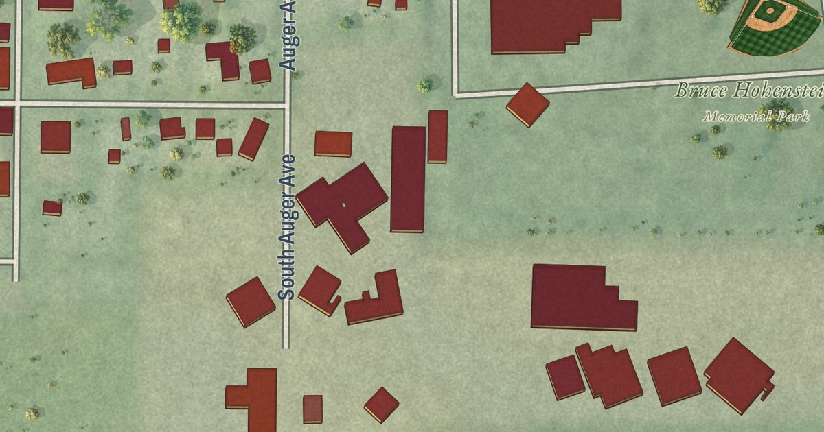
A detailed map of Mount Auburn, Illinois, showing every building in its true location, the roads by name, and shaded topographical relief.
Read More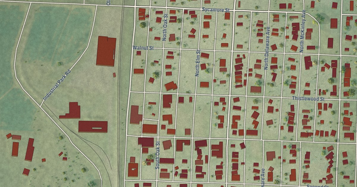
A detailed map of Mounds, Illinois, showing every building in its true location, the roads by name, and shaded topographical relief.
Read More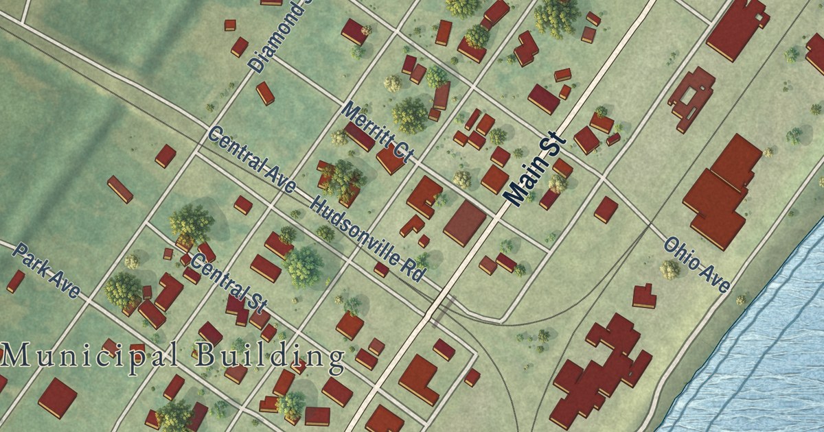
A detailed map of Mound City, Illinois, showing every building in its true location, the roads by name, and shaded topographical relief.
Read More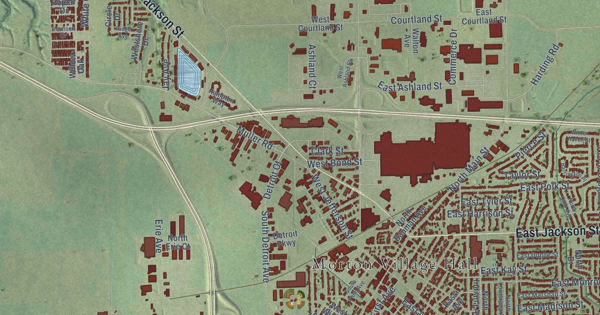
A detailed map of Morton, Illinois, showing every building in its true location, the roads by name, and shaded topographical relief.
Read More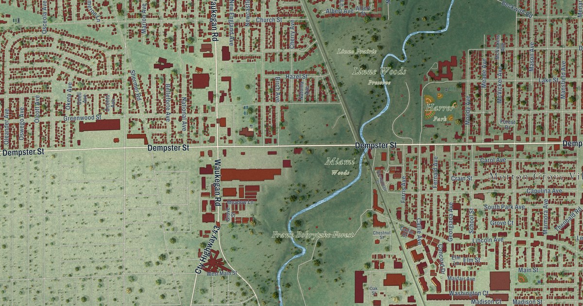
A detailed map of Morton Grove, Illinois, showing every building in its true location, the roads by name, and shaded topographical relief.
Read More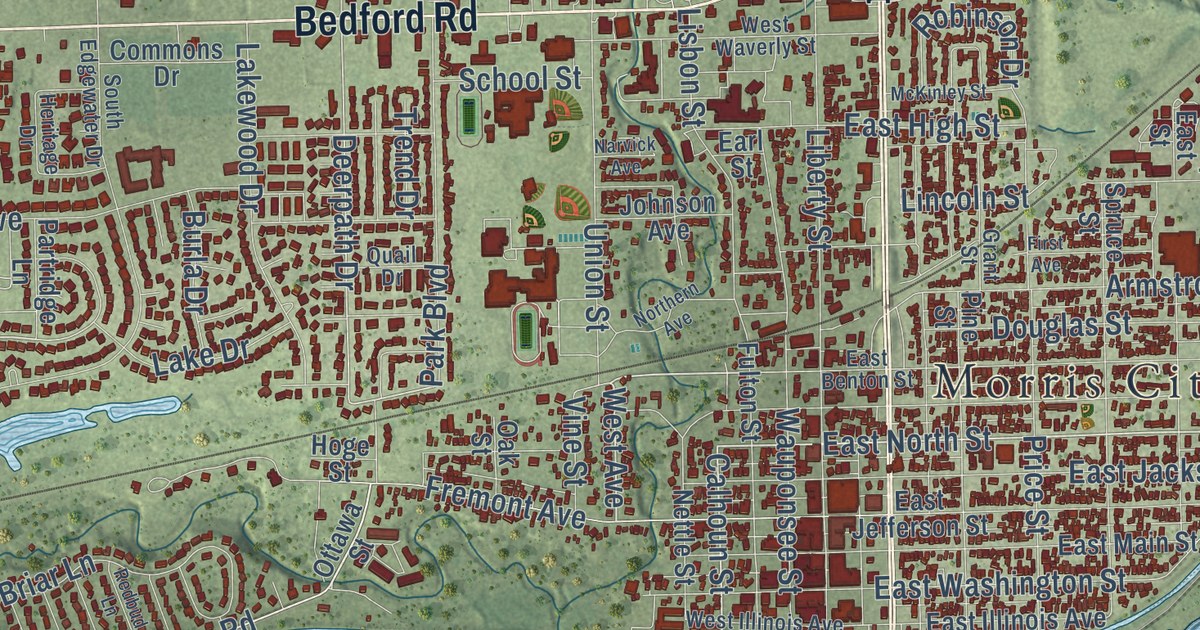
A detailed map of Morris, Illinois, showing every building in its true location, the roads by name, and shaded topographical relief.
Read More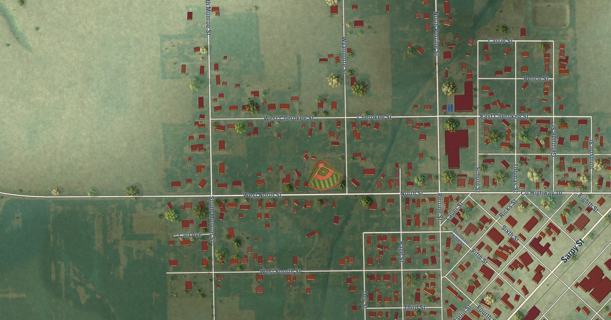
A detailed map of Morrisonville, Illinois, showing every building in its true location, the roads by name, and shaded topographical relief.
Read More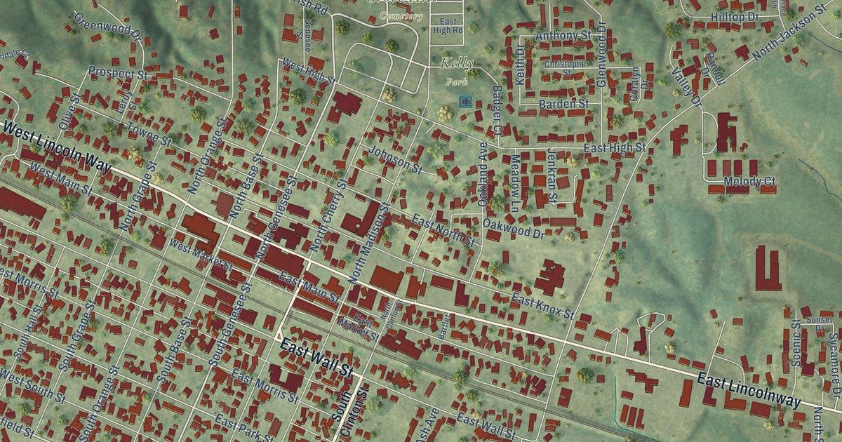
A detailed map of Morrison, Illinois, showing every building in its true location, the roads by name, and shaded topographical relief.
Read More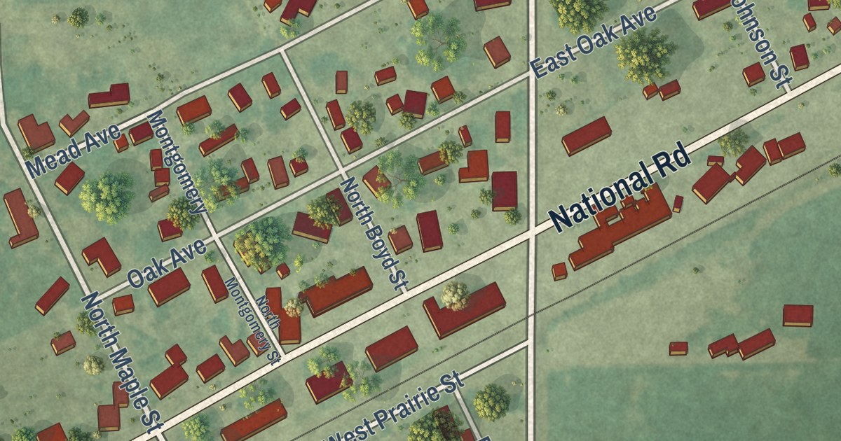
A detailed map of Montrose, Illinois, showing every building in its true location, the roads by name, and shaded topographical relief.
Read More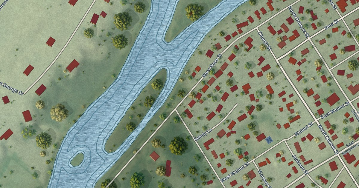
A detailed map of Millington, Illinois, showing every building in its true location, the roads by name, and shaded topographical relief.
Read More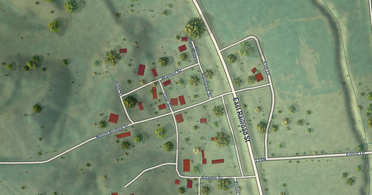
A detailed map of Mill Creek, Illinois, showing every building in its true location, the roads by name, and shaded topographical relief.
Read More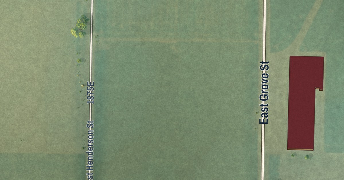
A detailed map of Media, Illinois, showing every building in its true location, the roads by name, and shaded topographical relief.
Read More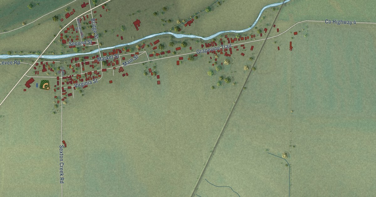
A detailed map of McClure, Illinois, showing every building in its true location, the roads by name, and shaded topographical relief.
Read More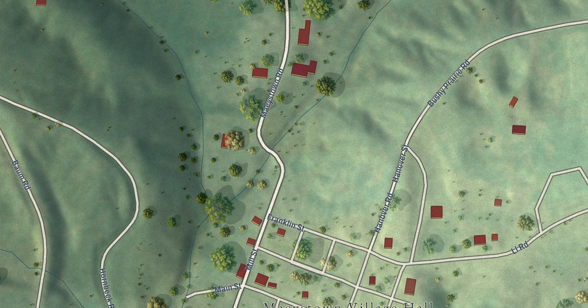
A detailed map of Maeystown, Illinois, showing every building in its true location, the roads by name, and shaded topographical relief.
Read More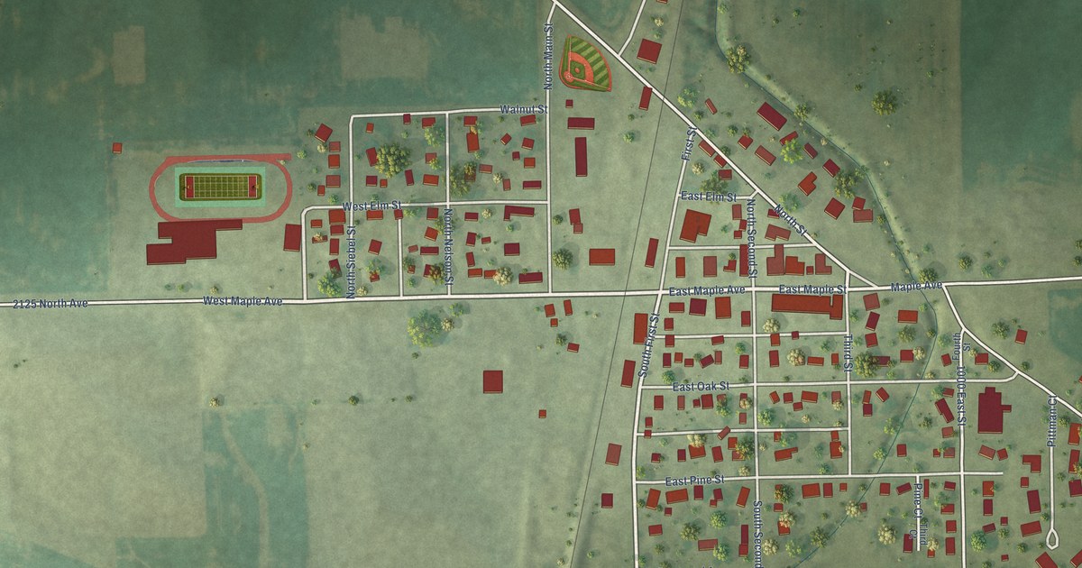
A detailed map of Manlius, Illinois, showing every building in its true location, the roads by name, and shaded topographical relief.
Read More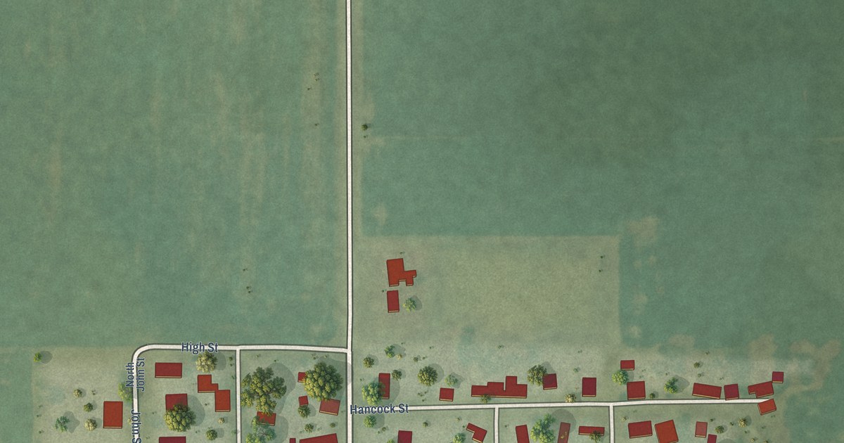
A detailed map of Longview, Illinois, showing every building in its true location, the roads by name, and shaded topographical relief.
Read More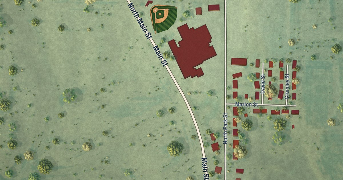
A detailed map of Liberty, Illinois, showing every building in its true location, the roads by name, and shaded topographical relief.
Read More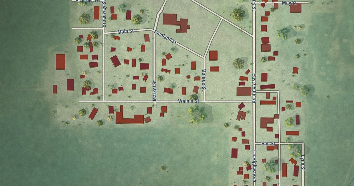
A detailed map of Leonore, Illinois, showing every building in its true location, the roads by name, and shaded topographical relief.
Read More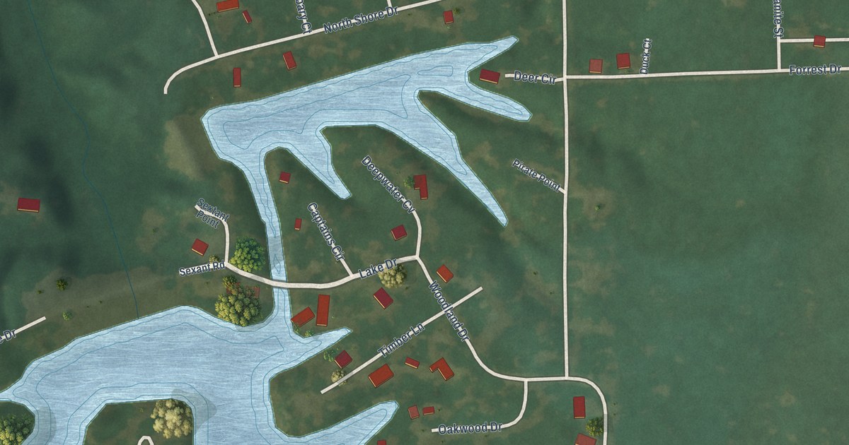
A detailed map of Lake Ka-Ho, Illinois, showing every building in its true location, the roads by name, and shaded topographical relief.
Read More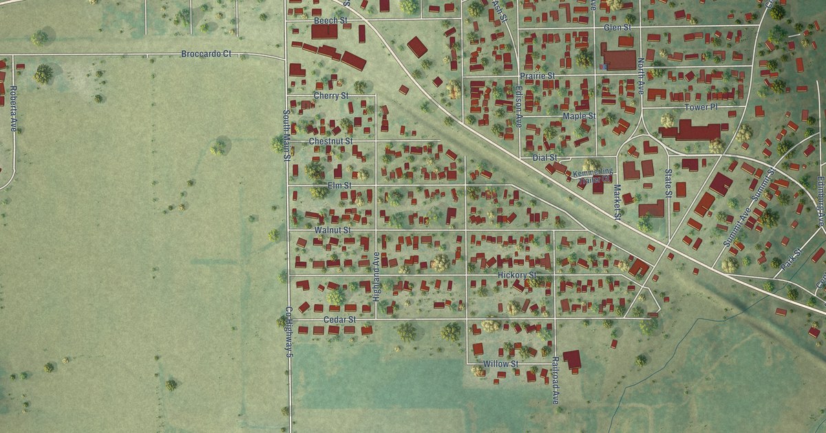
A detailed map of Kincaid, Illinois, showing every building in its true location, the roads by name, and shaded topographical relief.
Read More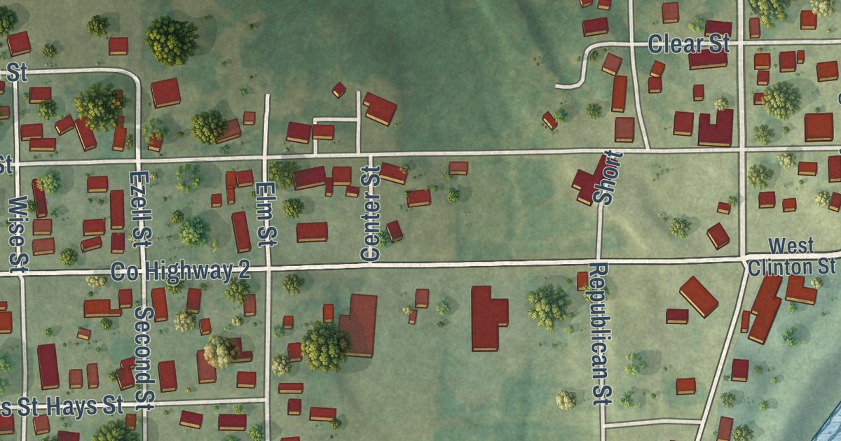
A detailed map of Keyesport, Illinois, showing every building in its true location, the roads by name, and shaded topographical relief.
Read More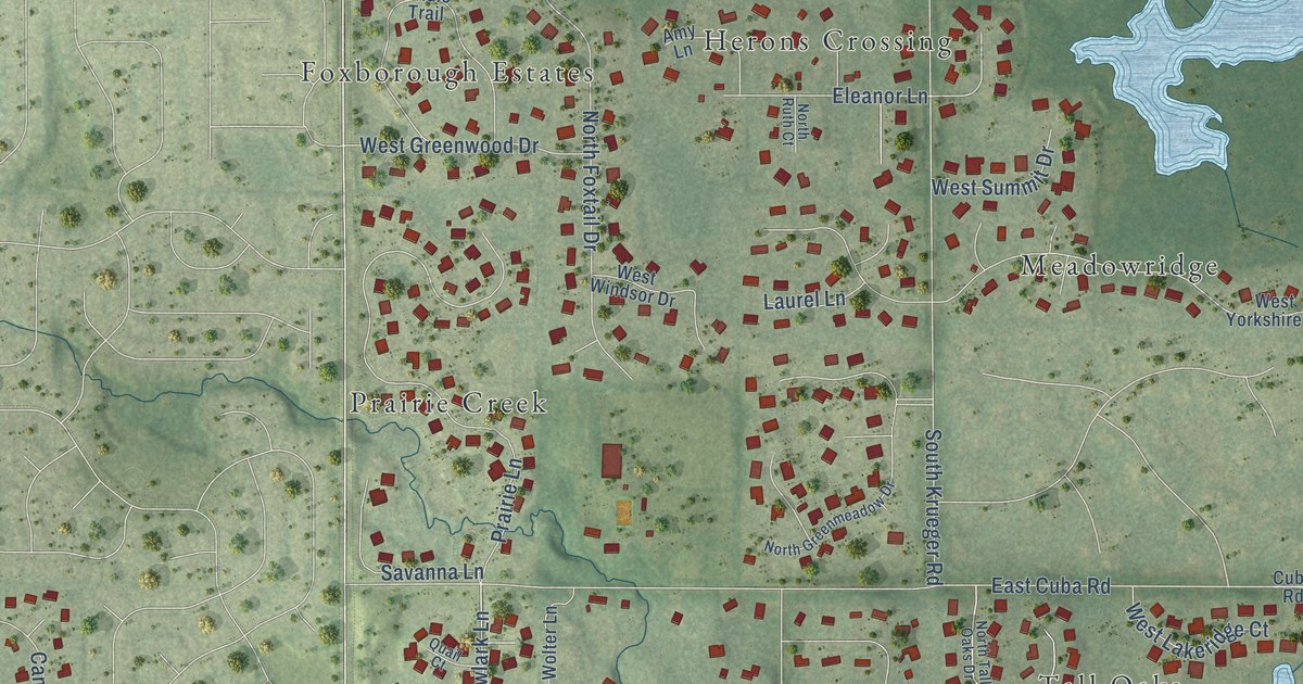
A detailed map of Kildeer, Illinois, showing every building in its true location, the roads by name, and shaded topographical relief.
Read More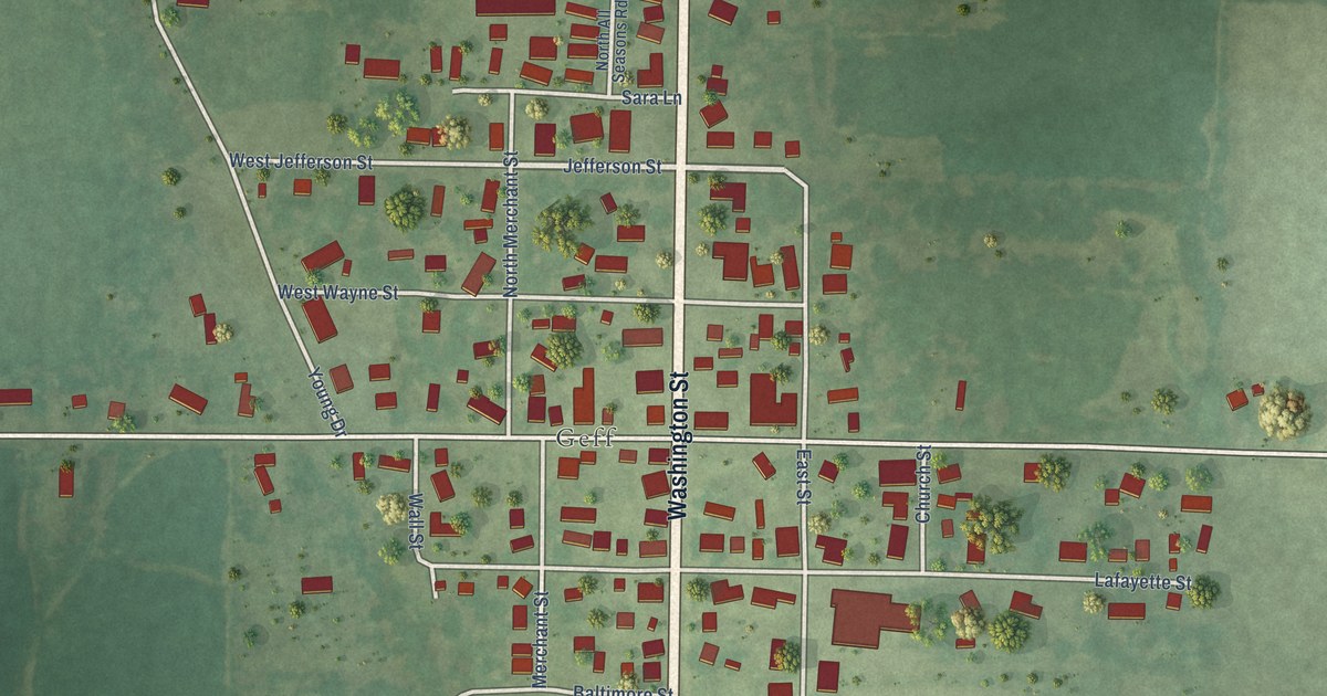
A detailed map of Jeffersonville, Illinois, showing every building in its true location, the roads by name, and shaded topographical relief.
Read More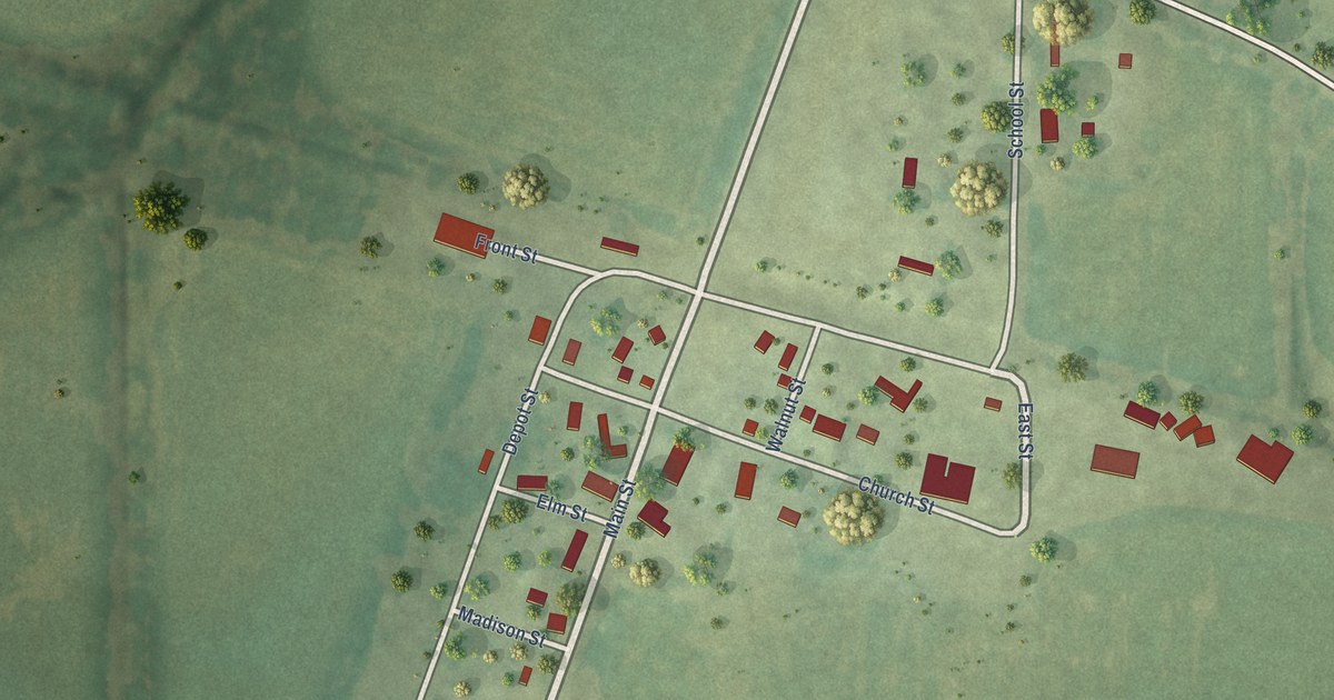
A detailed map of Junction, Illinois, showing every building in its true location, the roads by name, and shaded topographical relief.
Read More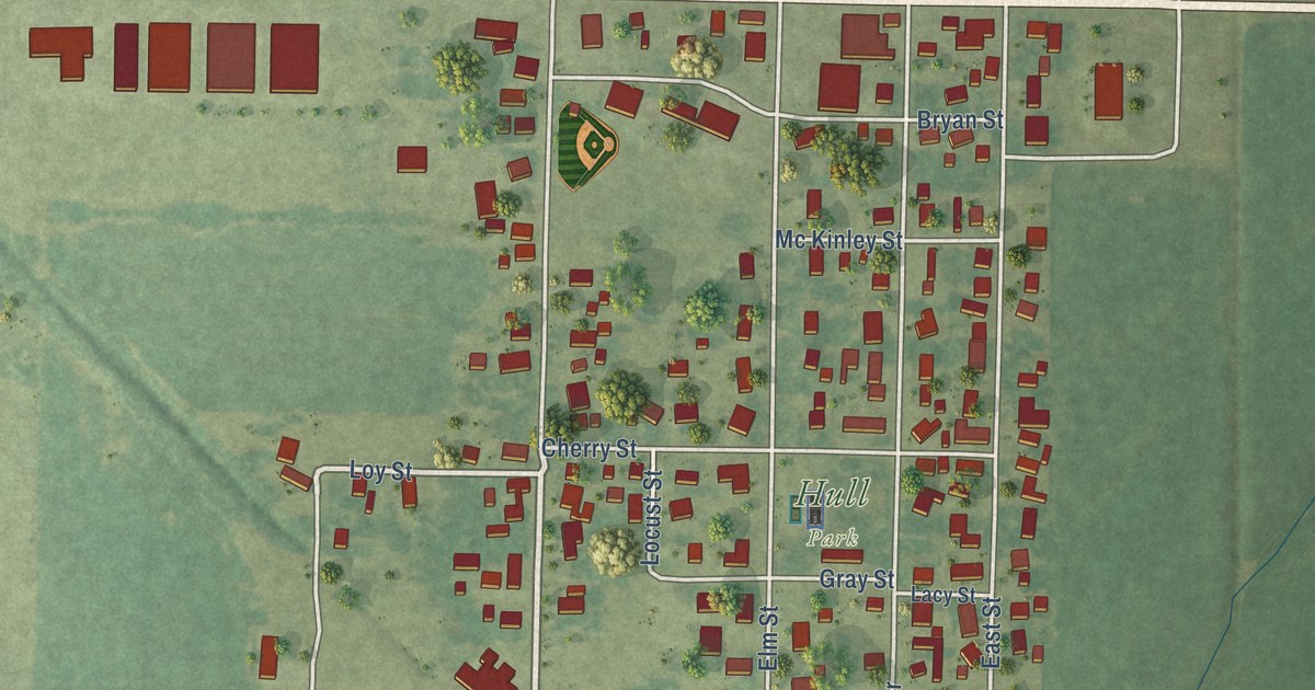
A detailed map of Hull, Illinois, showing every building in its true location, the roads by name, and shaded topographical relief.
Read More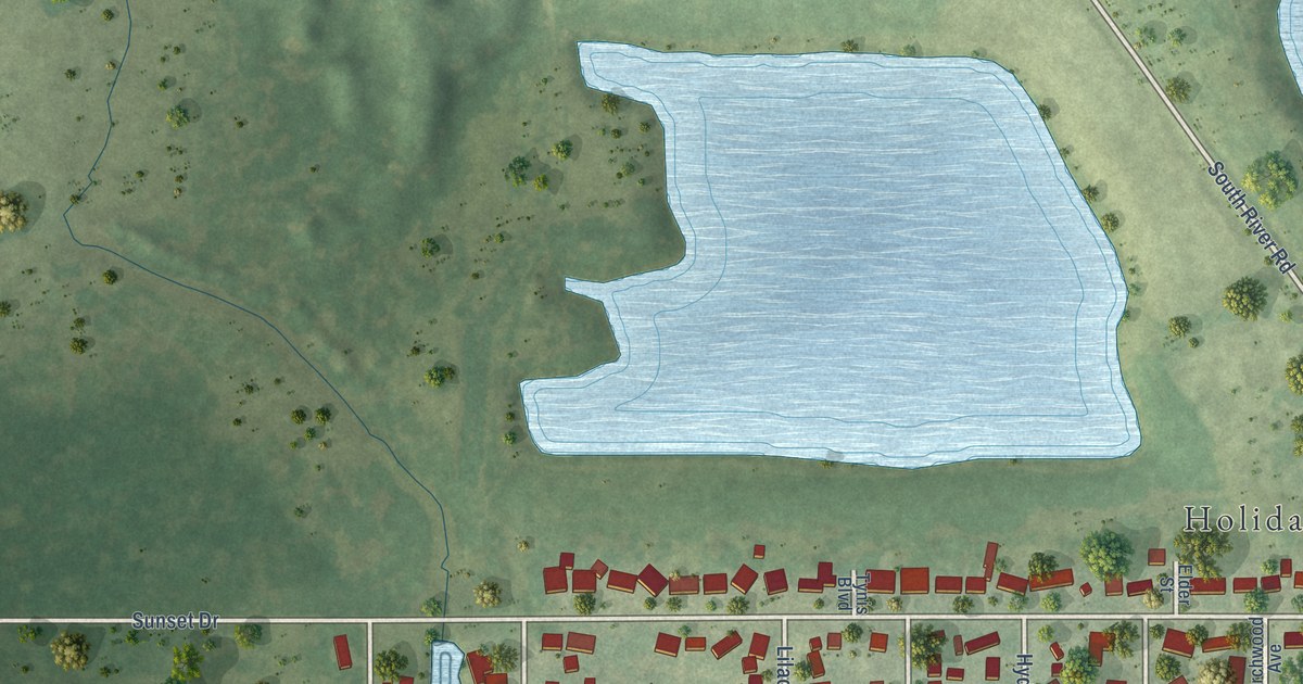
A detailed map of Holiday Hills, Illinois, showing every building in its true location, the roads by name, and shaded topographical relief.
Read More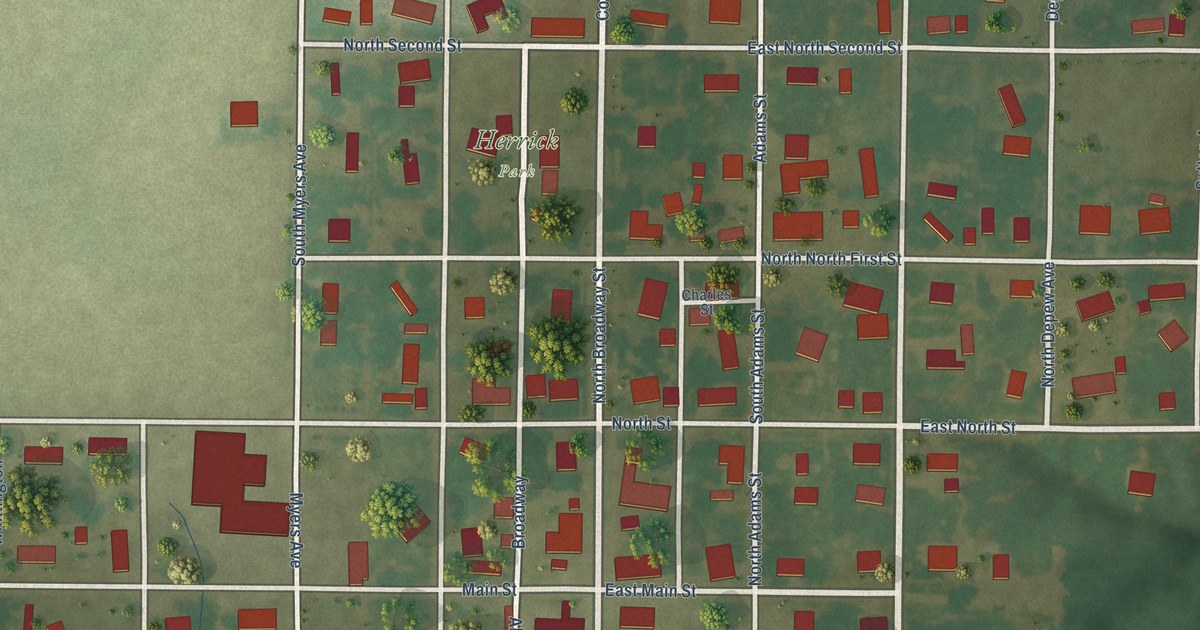
A detailed map of Herrick, Illinois, showing every building in its true location, the roads by name, and shaded topographical relief.
Read More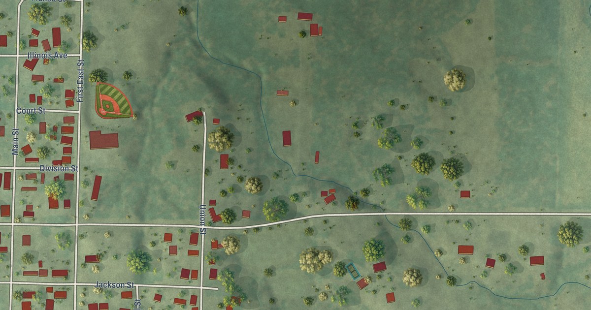
A detailed map of Hanaford, Illinois, showing every building in its true location, the roads by name, and shaded topographical relief.
Read More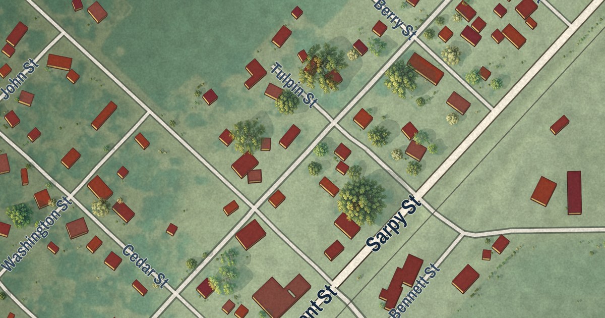
A detailed map of Harvel, Illinois, showing every building in its true location, the roads by name, and shaded topographical relief.
Read More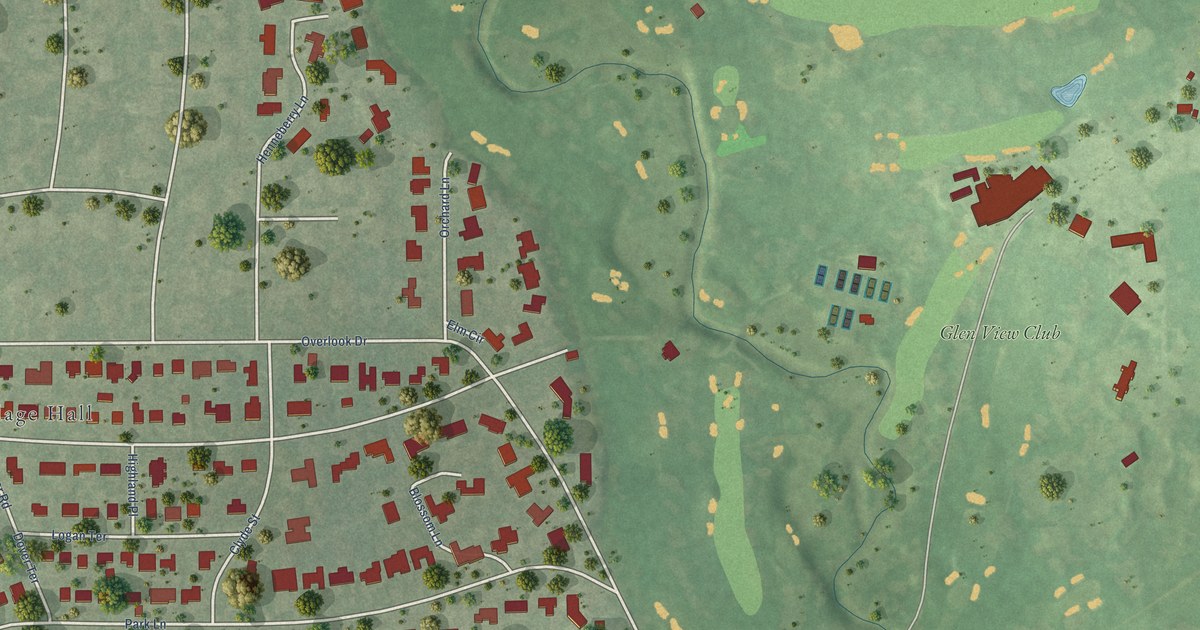
A detailed map of Golf, Illinois, showing every building in its true location, the roads by name, and shaded topographical relief.
Read More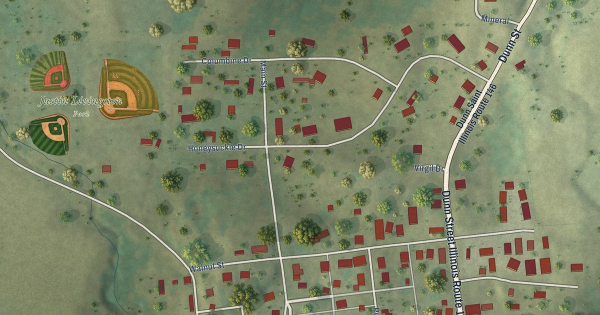
A detailed map of Elizabethtown, Illinois, showing every building in its true location, the roads by name, and shaded topographical relief.
Read More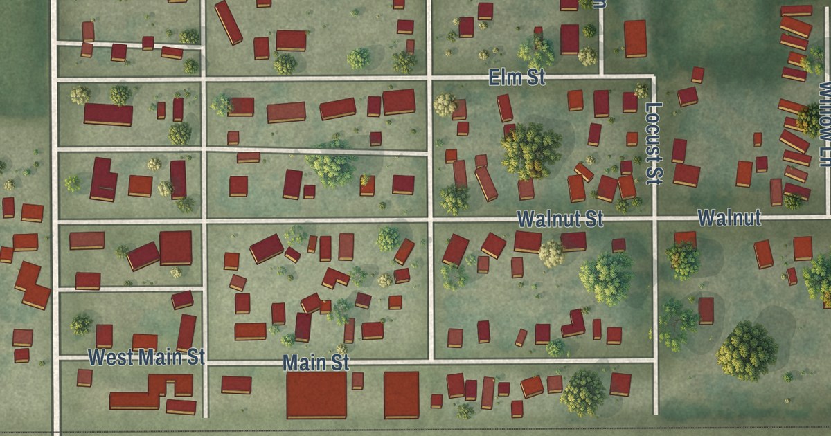
A detailed map of Dawson, Illinois, showing every building in its true location, the roads by name, and shaded topographical relief.
Read More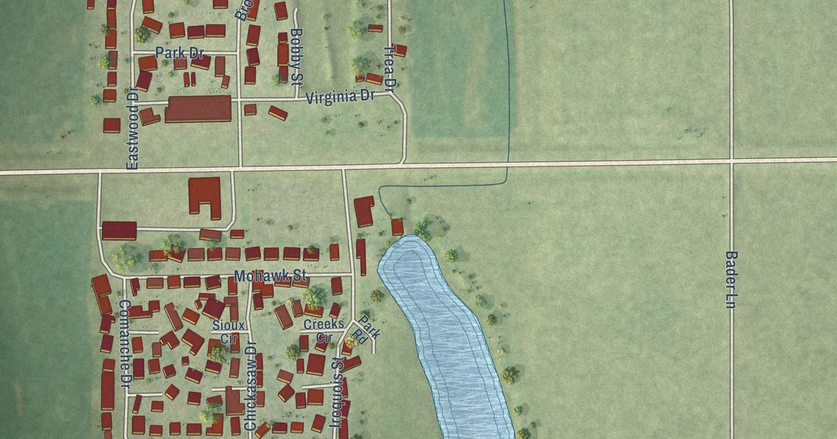
A detailed map of East Cape Girardeau, Illinois, showing every building in its true location, the roads by name, and shaded topographical relief.
Read More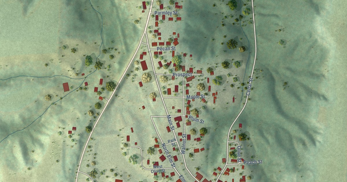
A detailed map of Alto Pass, Illinois, showing every building in its true location, the roads by name, and shaded topographical relief.
Read More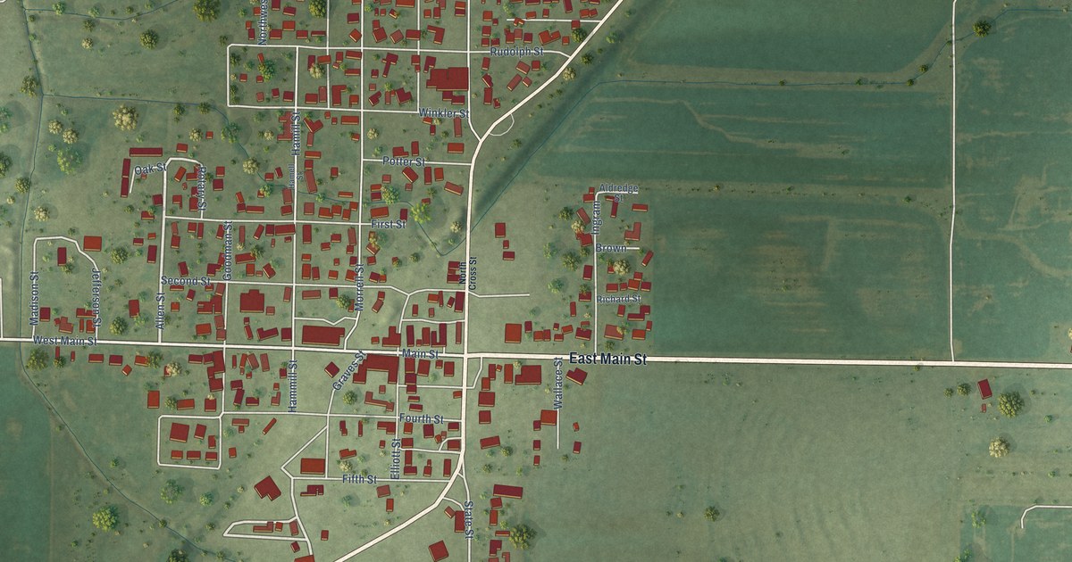
A detailed map of Crossville, Illinois, showing every building in its true location, the roads by name, and shaded topographical relief.
Read More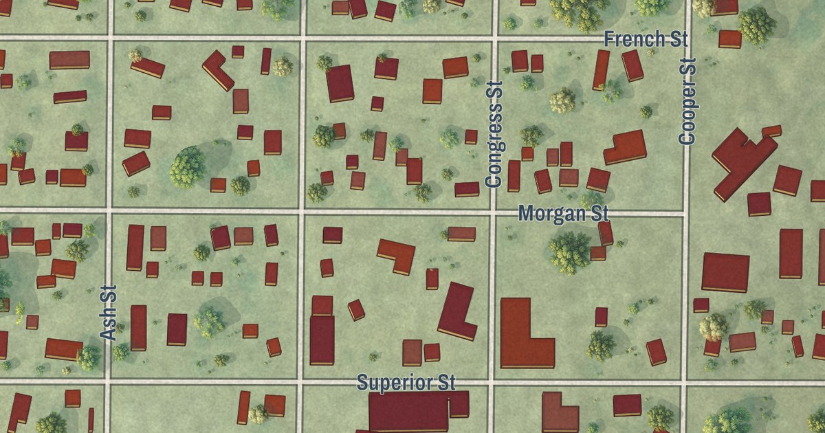
A detailed map of Chapin, Illinois, showing every building in its true location, the roads by name, and shaded topographical relief.
Read More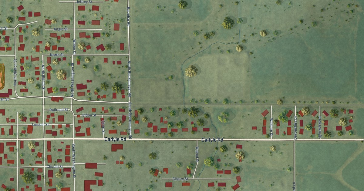
A detailed map of Bartelso, Illinois, showing every building in its true location, the roads by name, and shaded topographical relief.
Read More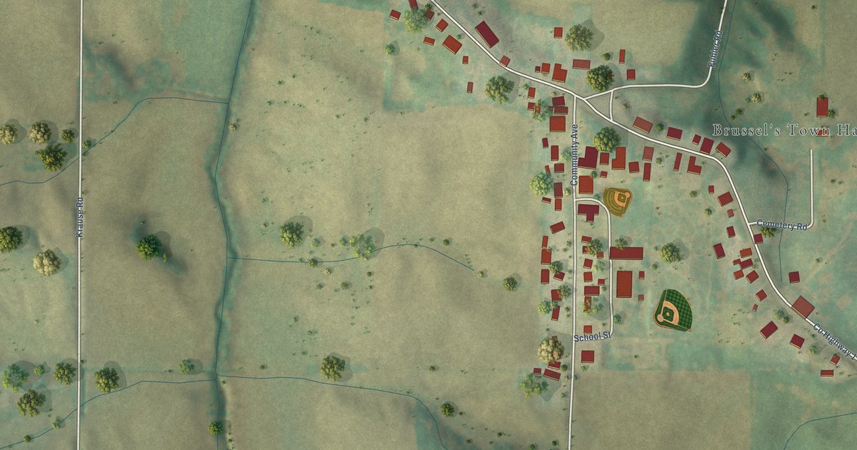
A detailed map of Brussels, Illinois, showing every building in its true location, the roads by name, and shaded topographical relief.
Read More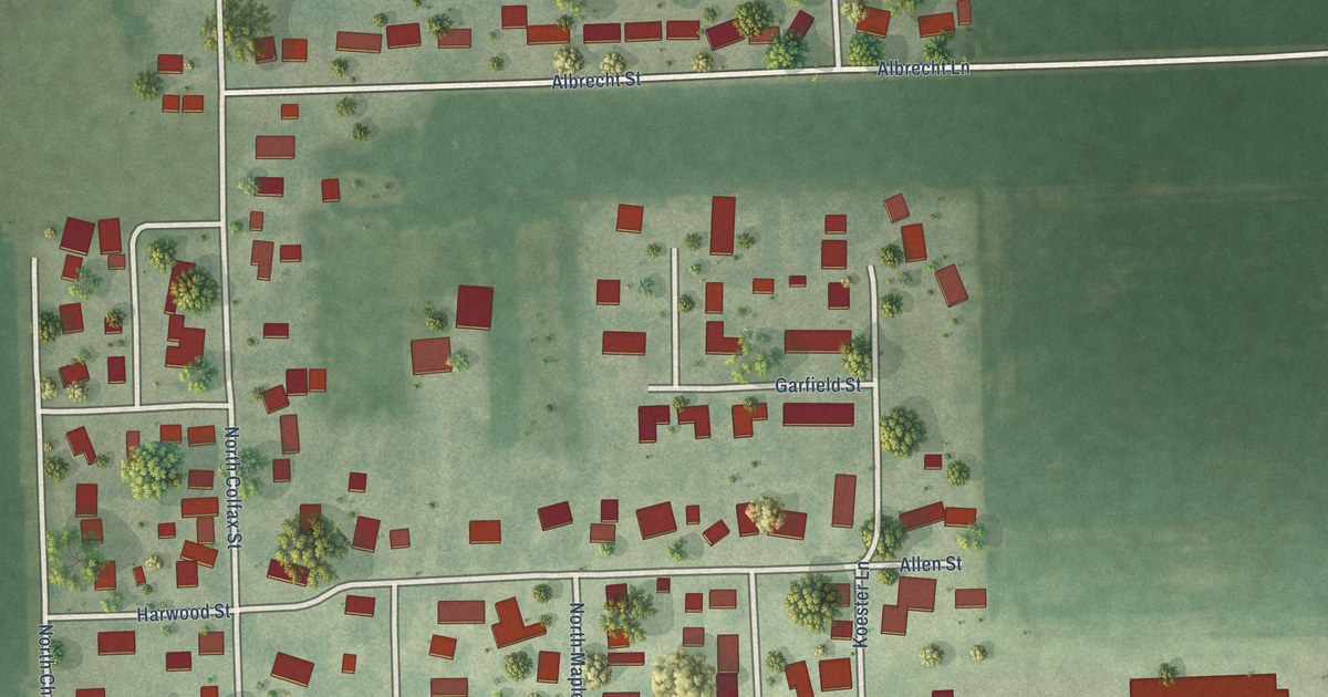
A detailed map of Crescent City, Illinois, showing every building in its true location, the roads by name, and shaded topographical relief.
Read More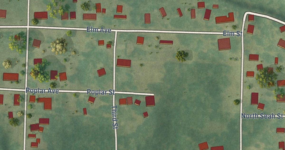
A detailed map of Bush, Illinois, showing every building in its true location, the roads by name, and shaded topographical relief.
Read More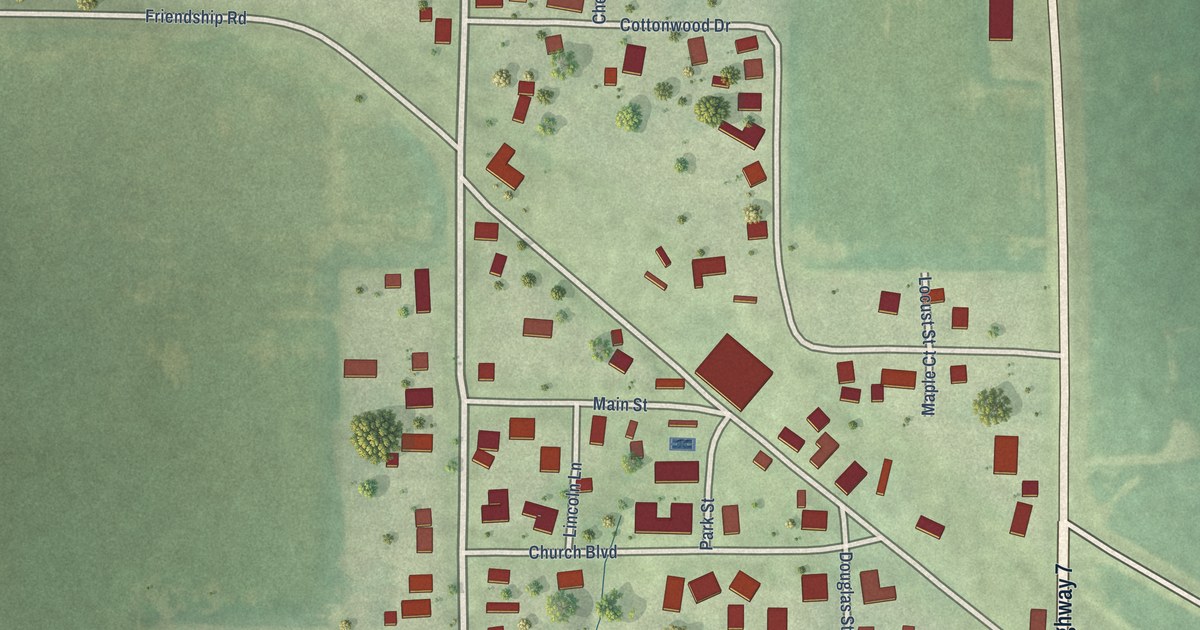
A detailed map of Alsey, Illinois, showing every building in its true location, the roads by name, and shaded topographical relief.
Read More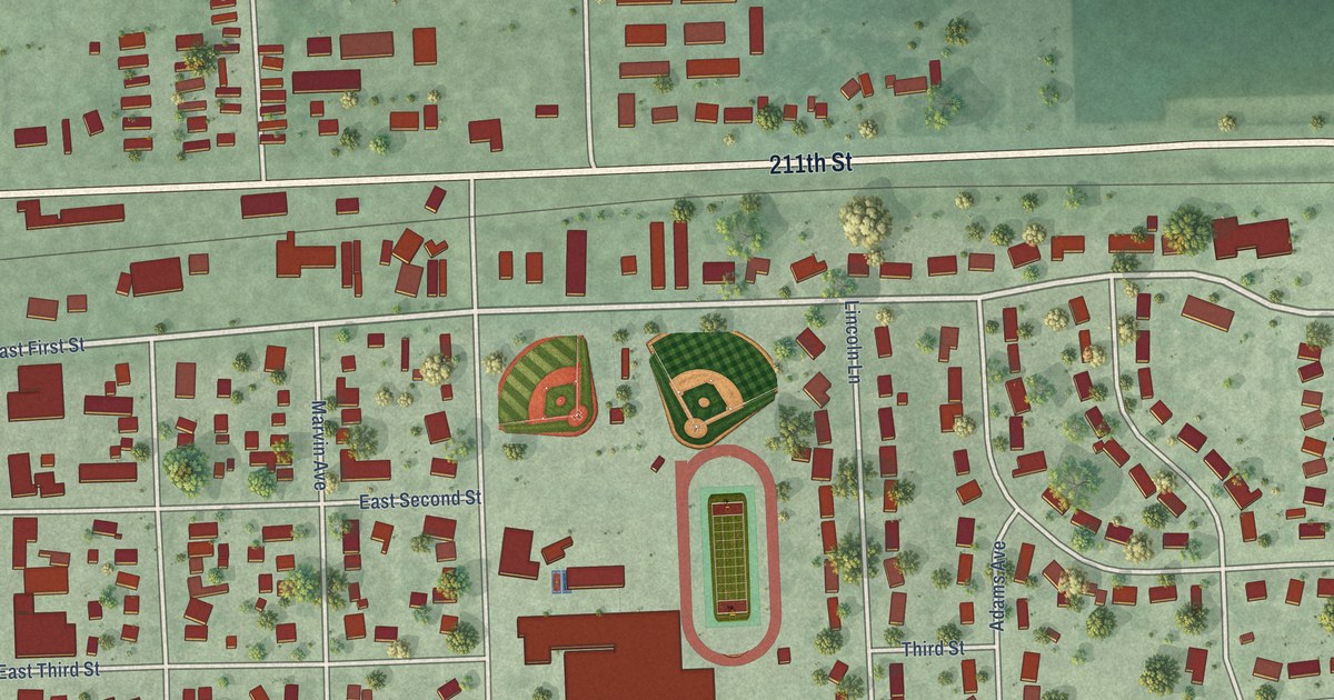
A detailed map of Volga, South Dakota, showing every building in its true location, the roads by name, and shaded topographical relief.
Read More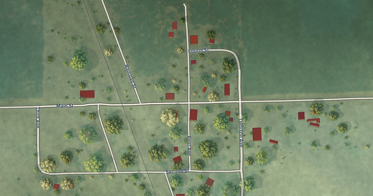
A detailed map of Virgil, South Dakota, showing every building in its true location, the roads by name, and shaded topographical relief.
Read More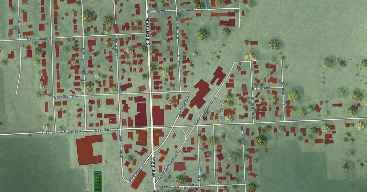
A detailed map of Viborg, South Dakota, showing every building in its true location, the roads by name, and shaded topographical relief.
Read More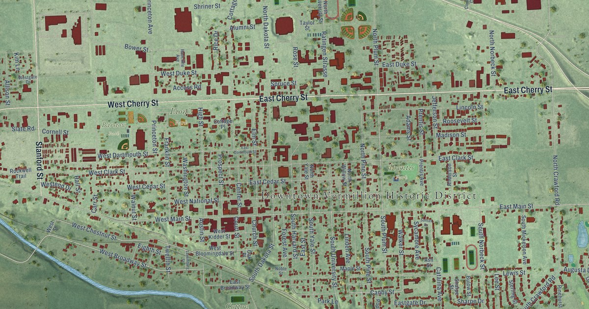
A detailed map of Vermillion, South Dakota, showing every building in its true location, the roads by name, and shaded topographical relief.
Read More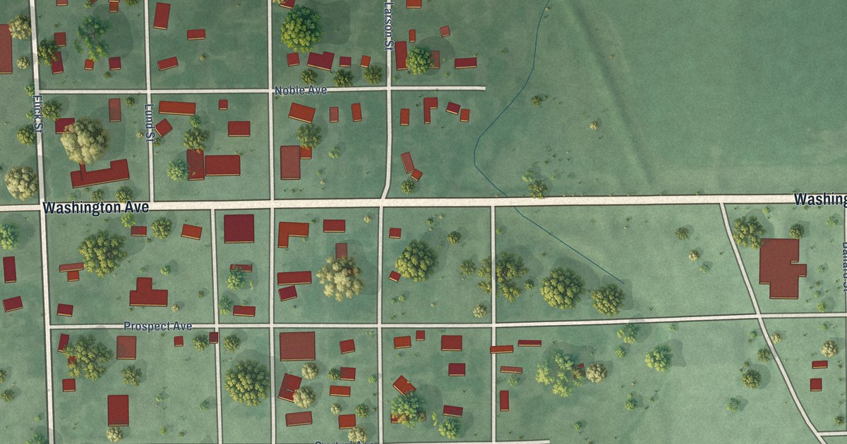
A detailed map of Veblen, South Dakota, showing every building in its true location, the roads by name, and shaded topographical relief.
Read More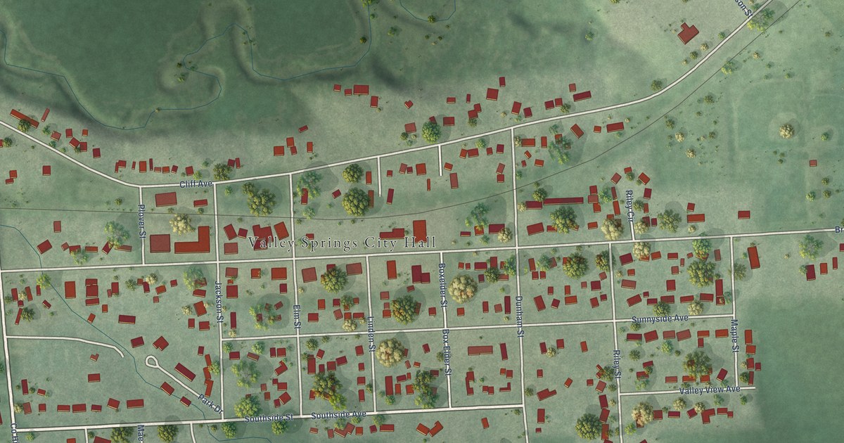
A detailed map of Valley Springs, South Dakota, showing every building in its true location, the roads by name, and shaded topographical relief.
Read More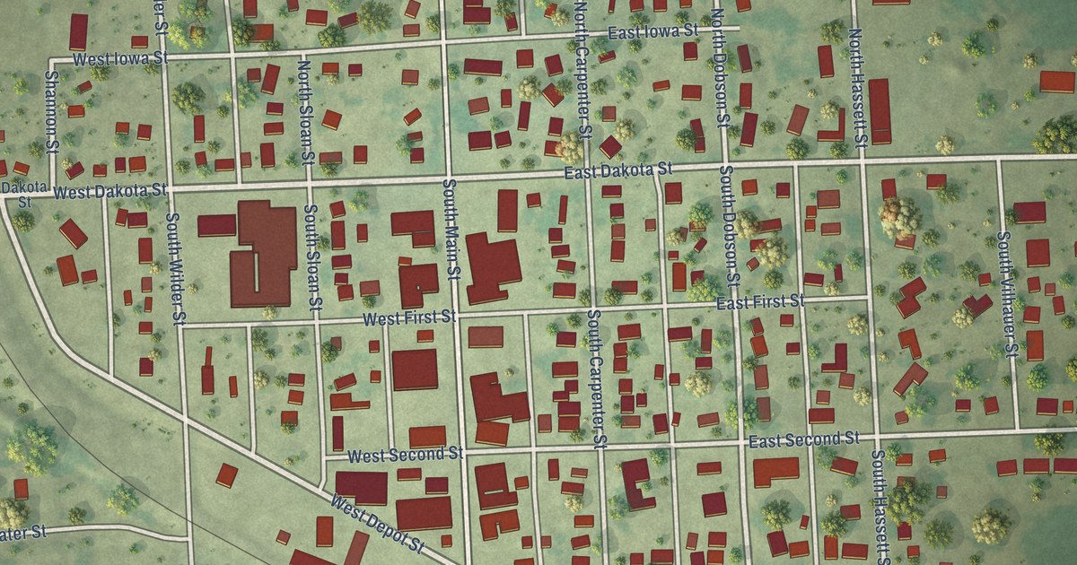
A detailed map of Tripp, South Dakota, showing every building in its true location, the roads by name, and shaded topographical relief.
Read More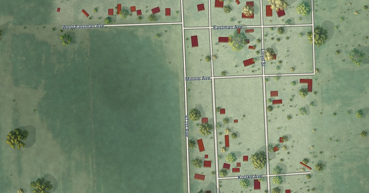
A detailed map of Twin Brooks, South Dakota, showing every building in its true location, the roads by name, and shaded topographical relief.
Read More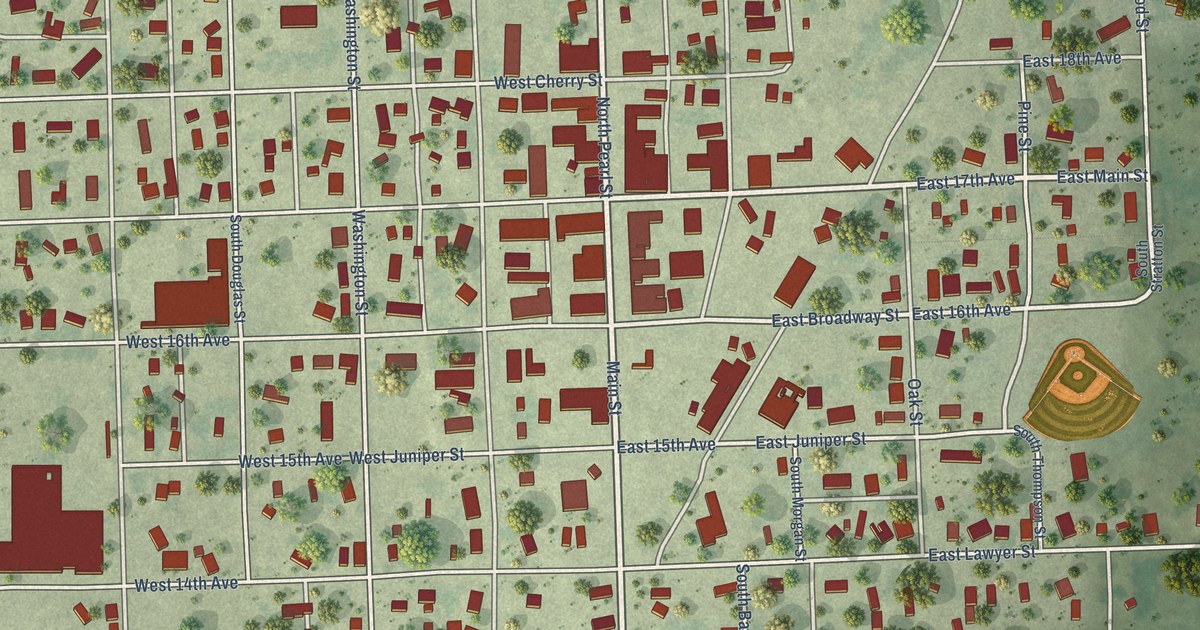
A detailed map of Tyndall, South Dakota, showing every building in its true location, the roads by name, and shaded topographical relief.
Read More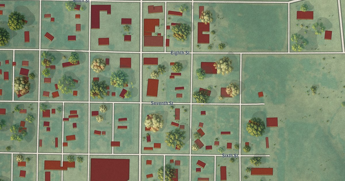
A detailed map of Timber Lake, South Dakota, showing every building in its true location, the roads by name, and shaded topographical relief.
Read More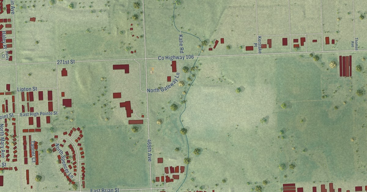
A detailed map of Tea, South Dakota, showing every building in its true location, the roads by name, and shaded topographical relief.
Read More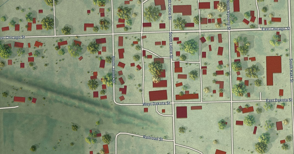
A detailed map of Tabor, South Dakota, showing every building in its true location, the roads by name, and shaded topographical relief.
Read More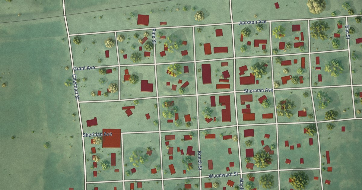
A detailed map of Summit, South Dakota, showing every building in its true location, the roads by name, and shaded topographical relief.
Read More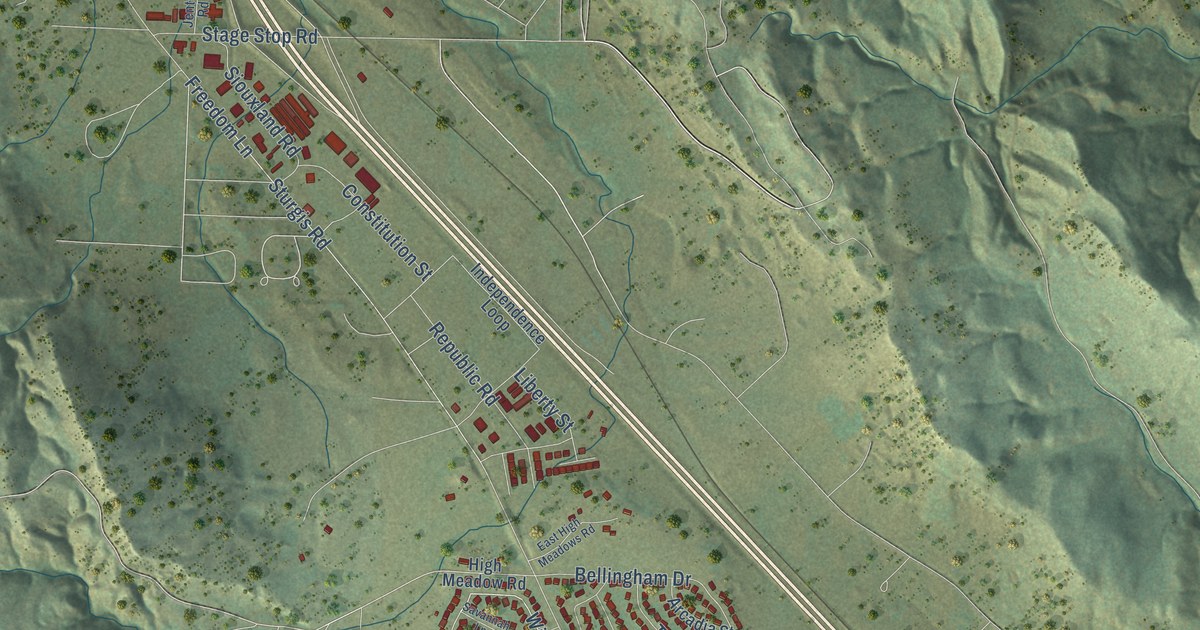
A detailed map of Summerset, South Dakota, showing every building in its true location, the roads by name, and shaded topographical relief.
Read More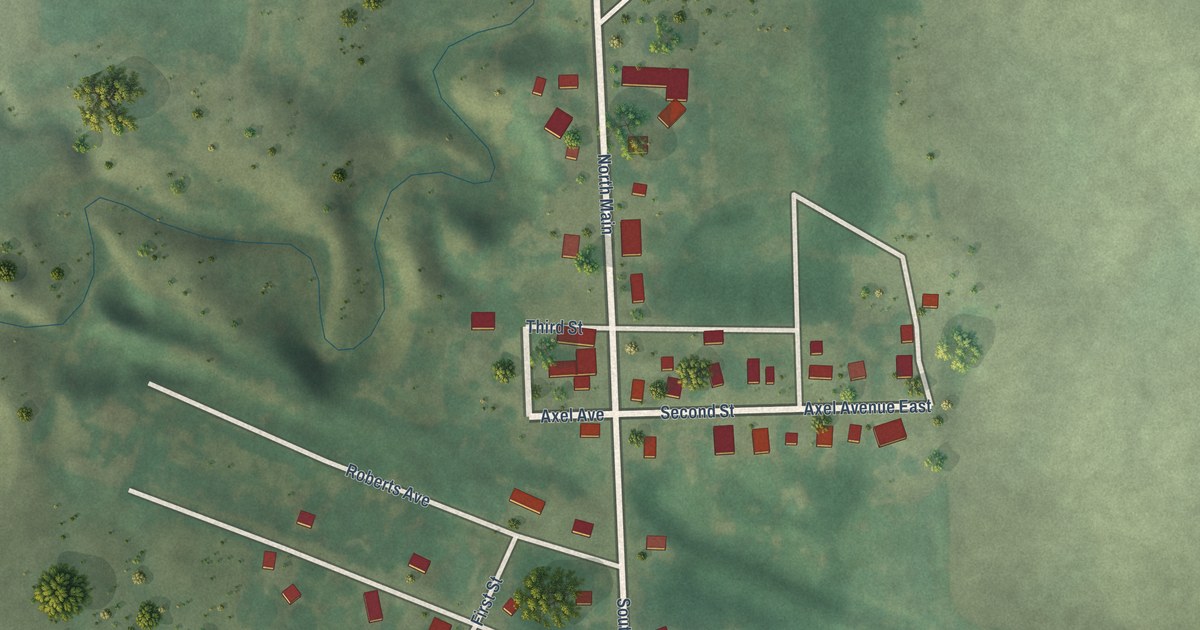
A detailed map of Strandburg, South Dakota, showing every building in its true location, the roads by name, and shaded topographical relief.
Read More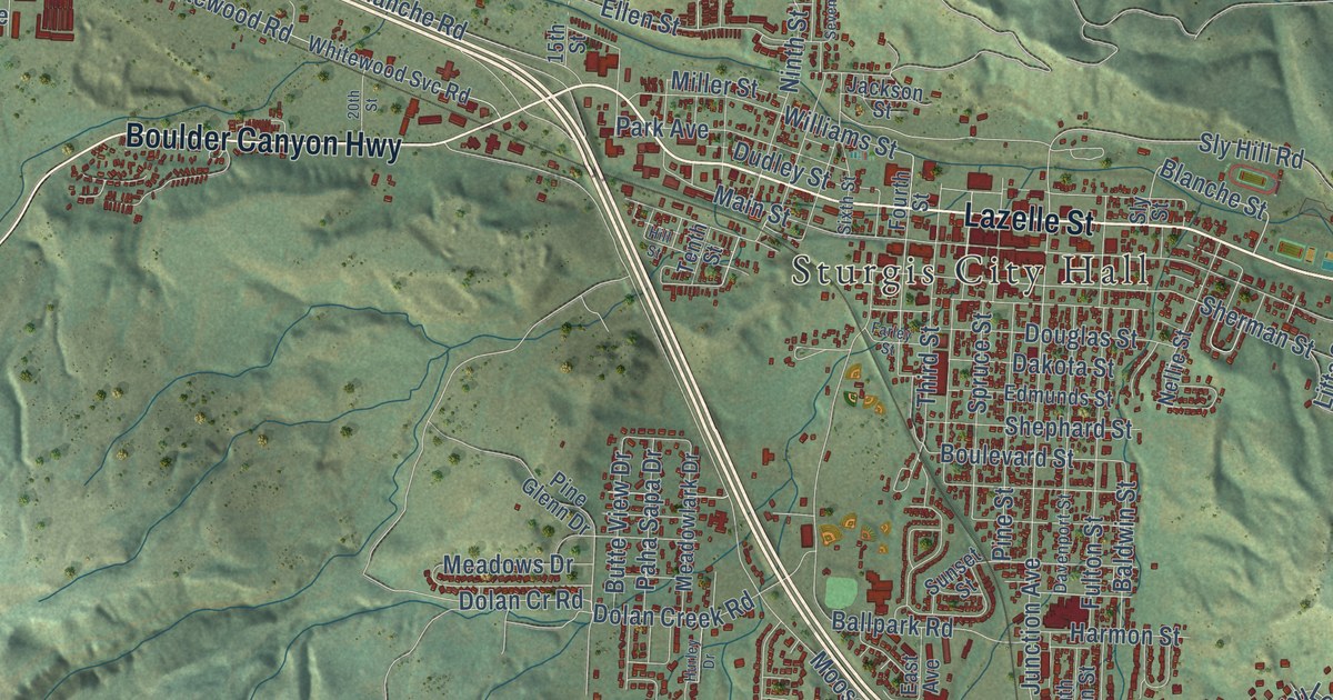
A detailed map of Sturgis, South Dakota, showing every building in its true location, the roads by name, and shaded topographical relief.
Read More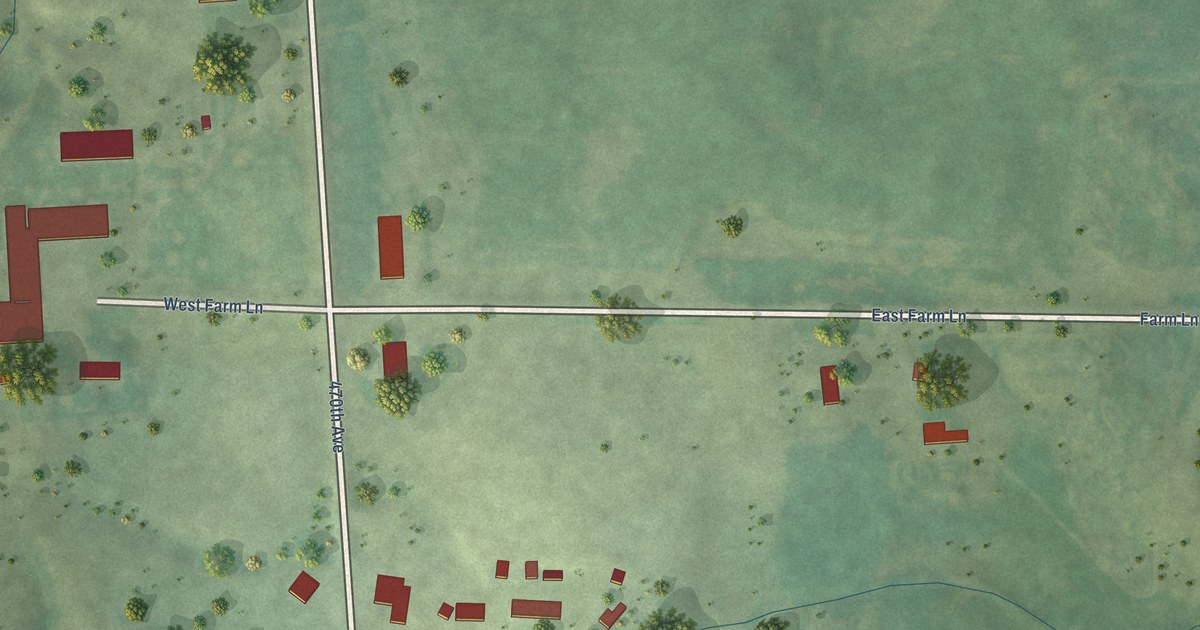
A detailed map of Stockholm, South Dakota, showing every building in its true location, the roads by name, and shaded topographical relief.
Read More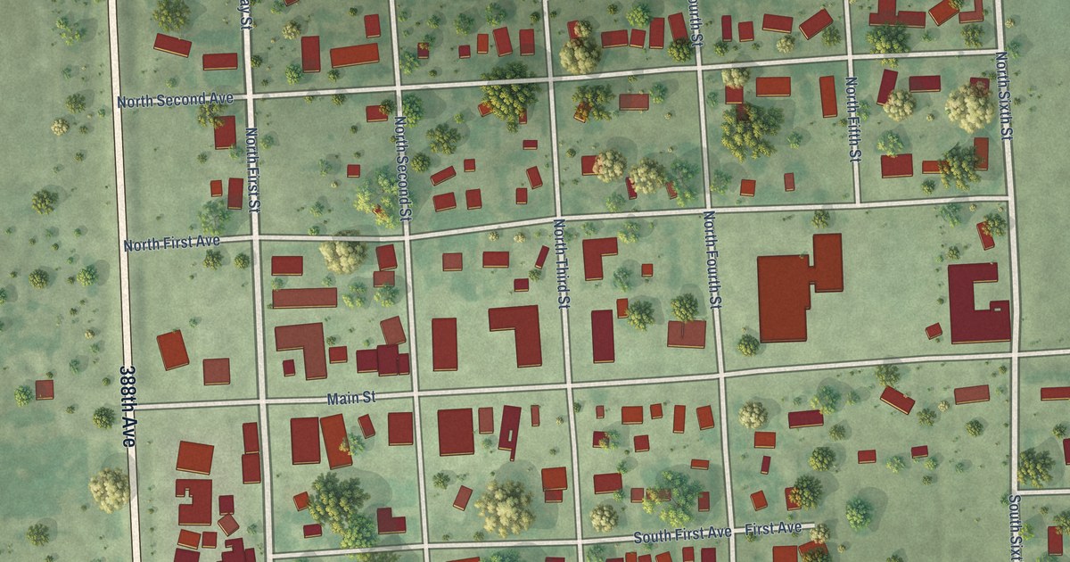
A detailed map of Stickney, South Dakota, showing every building in its true location, the roads by name, and shaded topographical relief.
Read More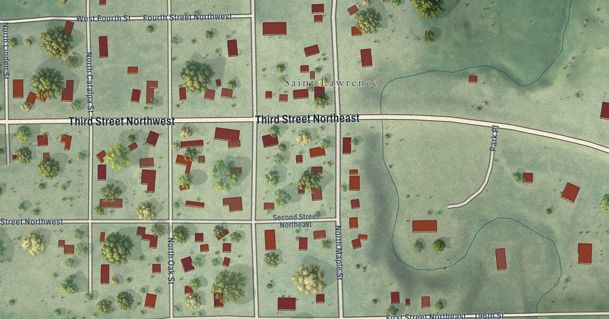
A detailed map of St. Lawrence, South Dakota, showing every building in its true location, the roads by name, and shaded topographical relief.
Read More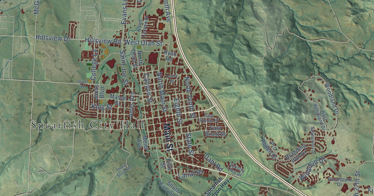
A detailed map of Spearfish, South Dakota, showing every building in its true location, the roads by name, and shaded topographical relief.
Read More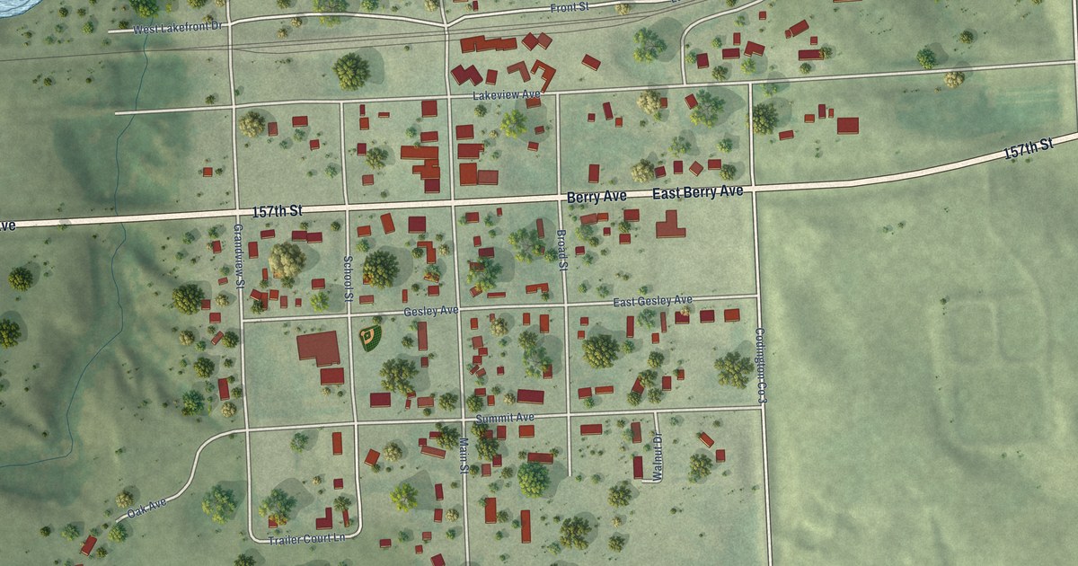
A detailed map of South Shore, South Dakota, showing every building in its true location, the roads by name, and shaded topographical relief.
Read More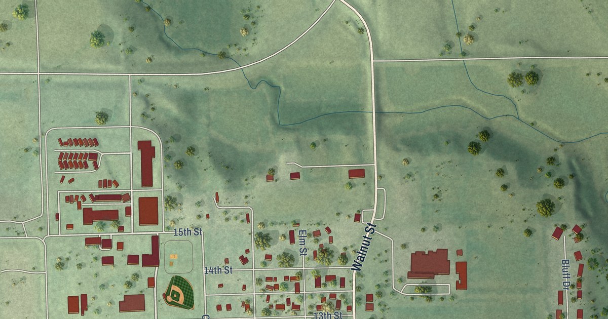
A detailed map of Springfield, South Dakota, showing every building in its true location, the roads by name, and shaded topographical relief.
Read More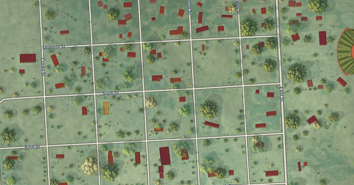
A detailed map of Spencer, South Dakota, showing every building in its true location, the roads by name, and shaded topographical relief.
Read More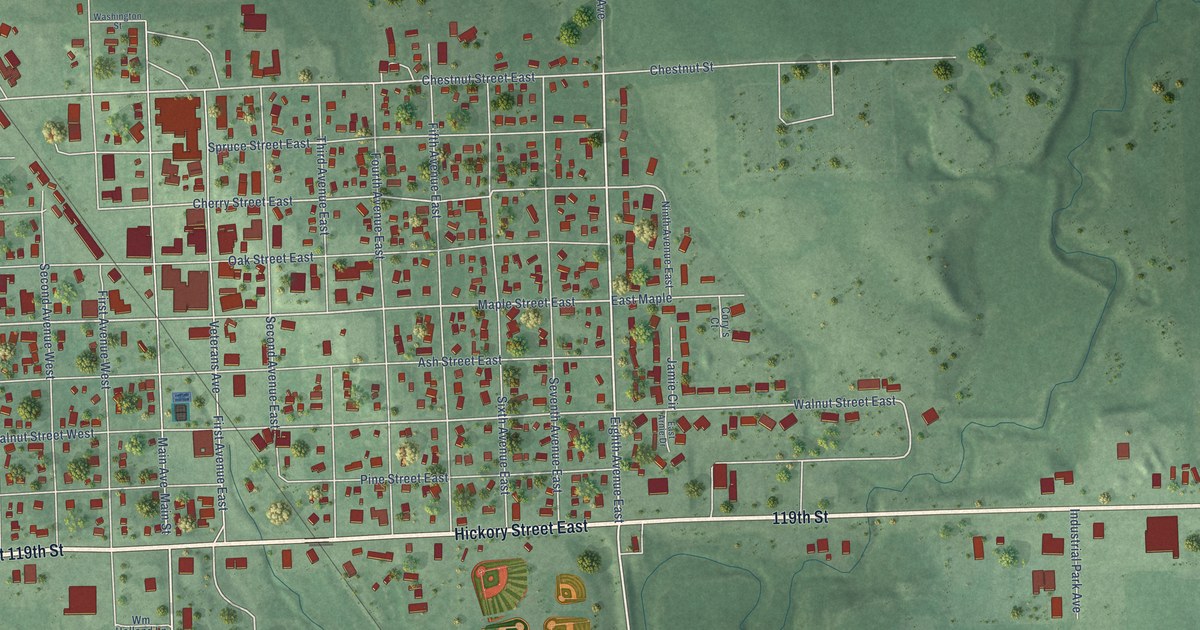
A detailed map of Sisseton, South Dakota, showing every building in its true location, the roads by name, and shaded topographical relief.
Read More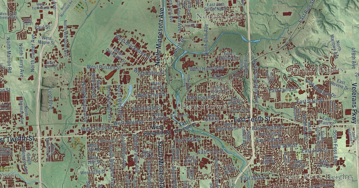
A detailed map of Sioux Falls, South Dakota, showing every building in its true location, the roads by name, and shaded topographical relief.
Read More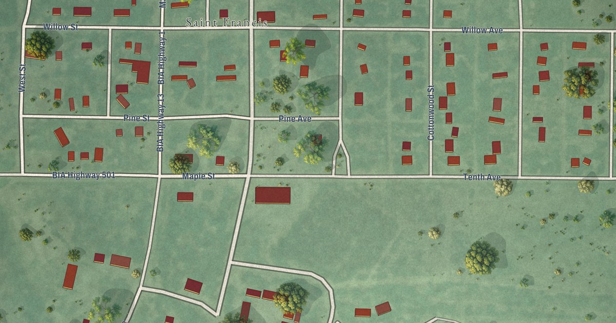
A detailed map of St. Francis, South Dakota, showing every building in its true location, the roads by name, and shaded topographical relief.
Read More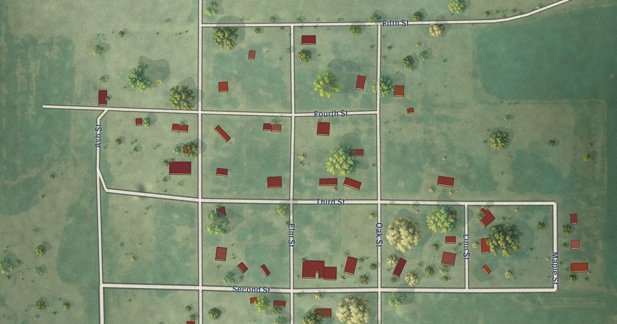
A detailed map of Seneca, South Dakota, showing every building in its true location, the roads by name, and shaded topographical relief.
Read More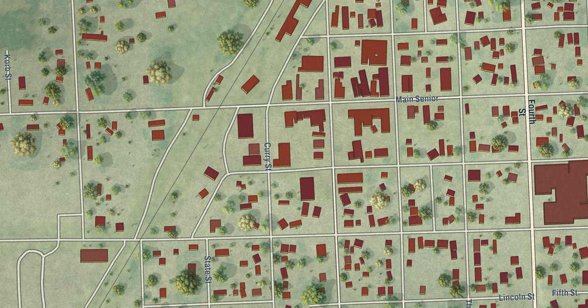
A detailed map of Scotland, South Dakota, showing every building in its true location, the roads by name, and shaded topographical relief.
Read More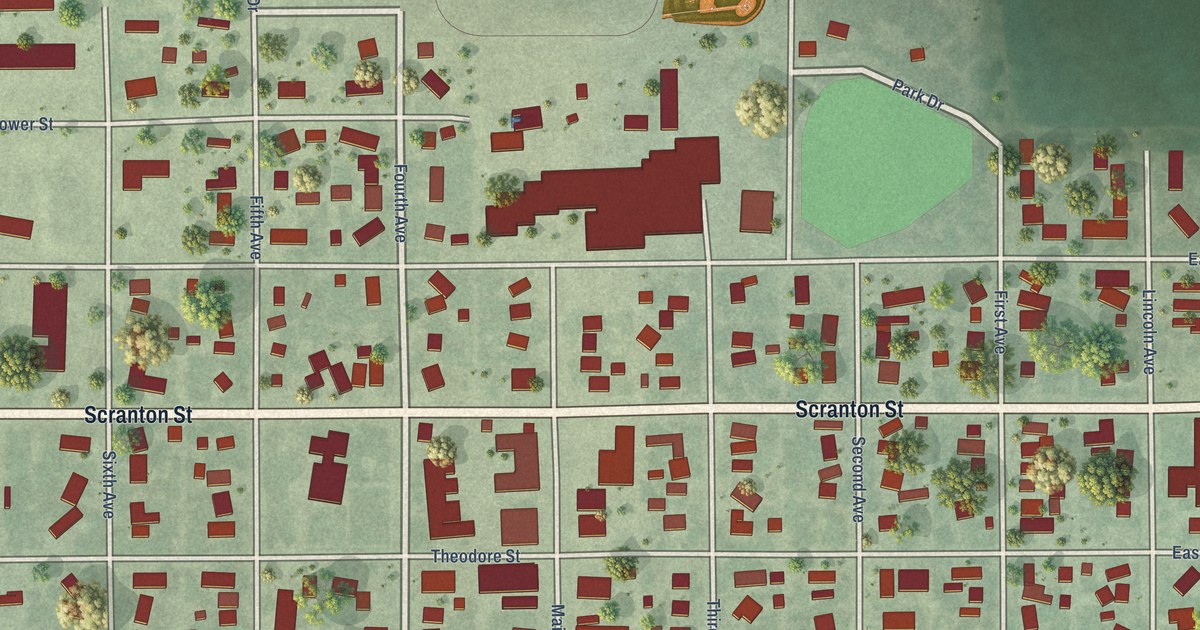
A detailed map of Selby, South Dakota, showing every building in its true location, the roads by name, and shaded topographical relief.
Read More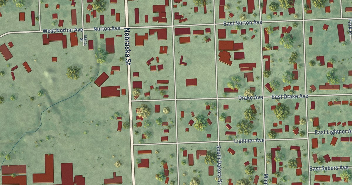
A detailed map of Salem, South Dakota, showing every building in its true location, the roads by name, and shaded topographical relief.
Read More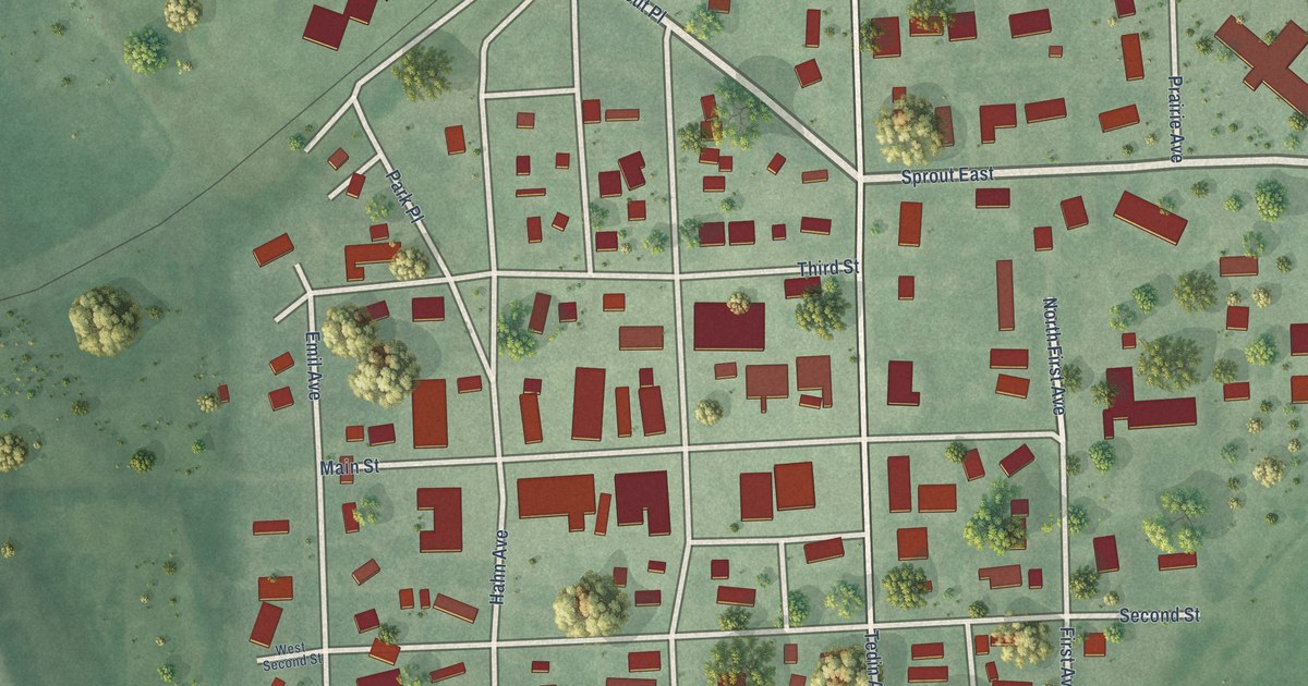
A detailed map of Rosholt, South Dakota, showing every building in its true location, the roads by name, and shaded topographical relief.
Read More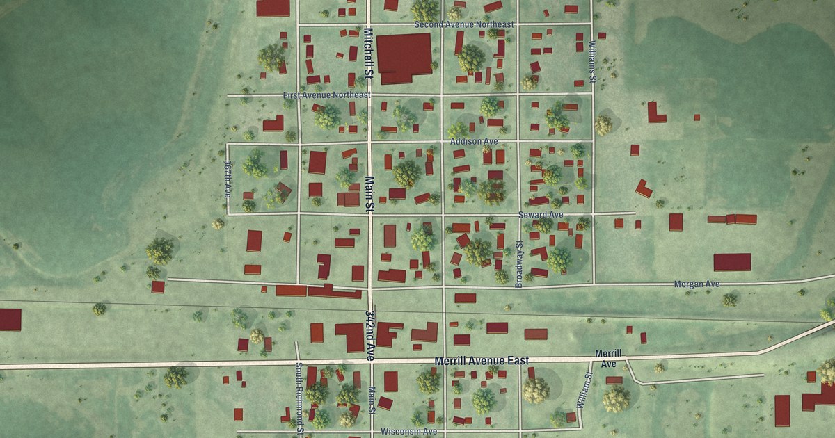
A detailed map of Roscoe, South Dakota, showing every building in its true location, the roads by name, and shaded topographical relief.
Read More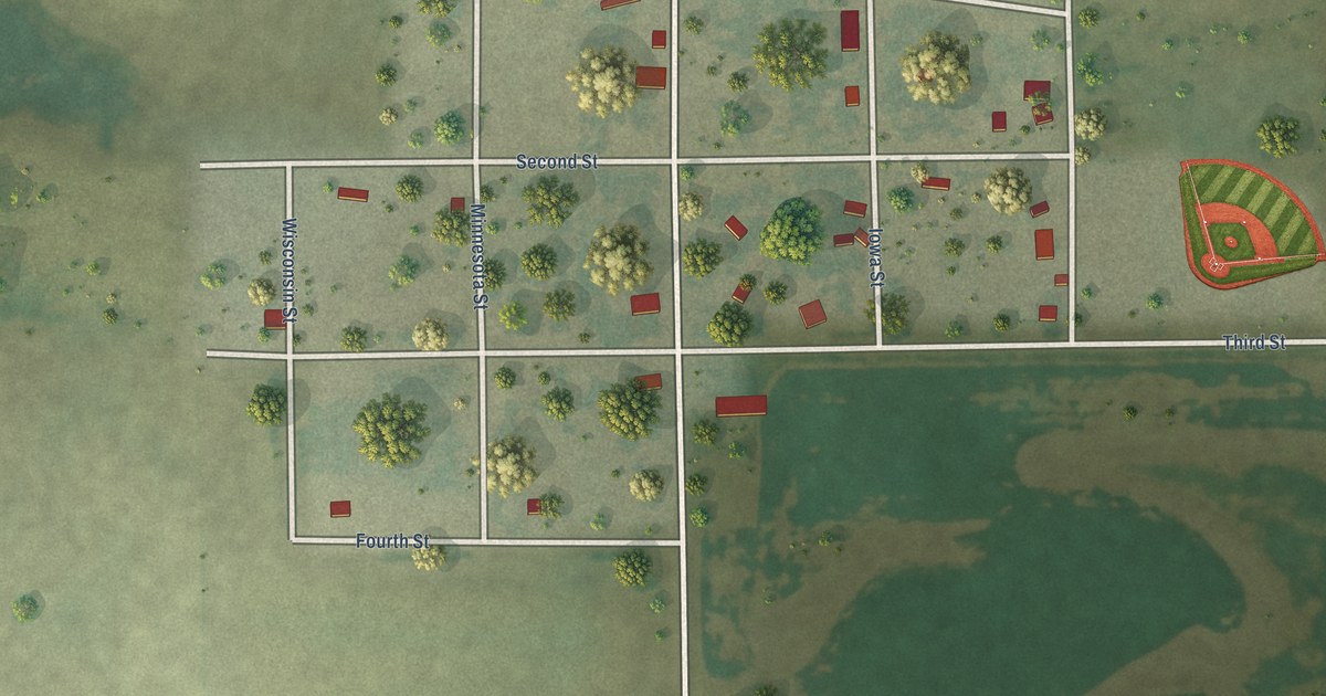
A detailed map of Rockham, South Dakota, showing every building in its true location, the roads by name, and shaded topographical relief.
Read More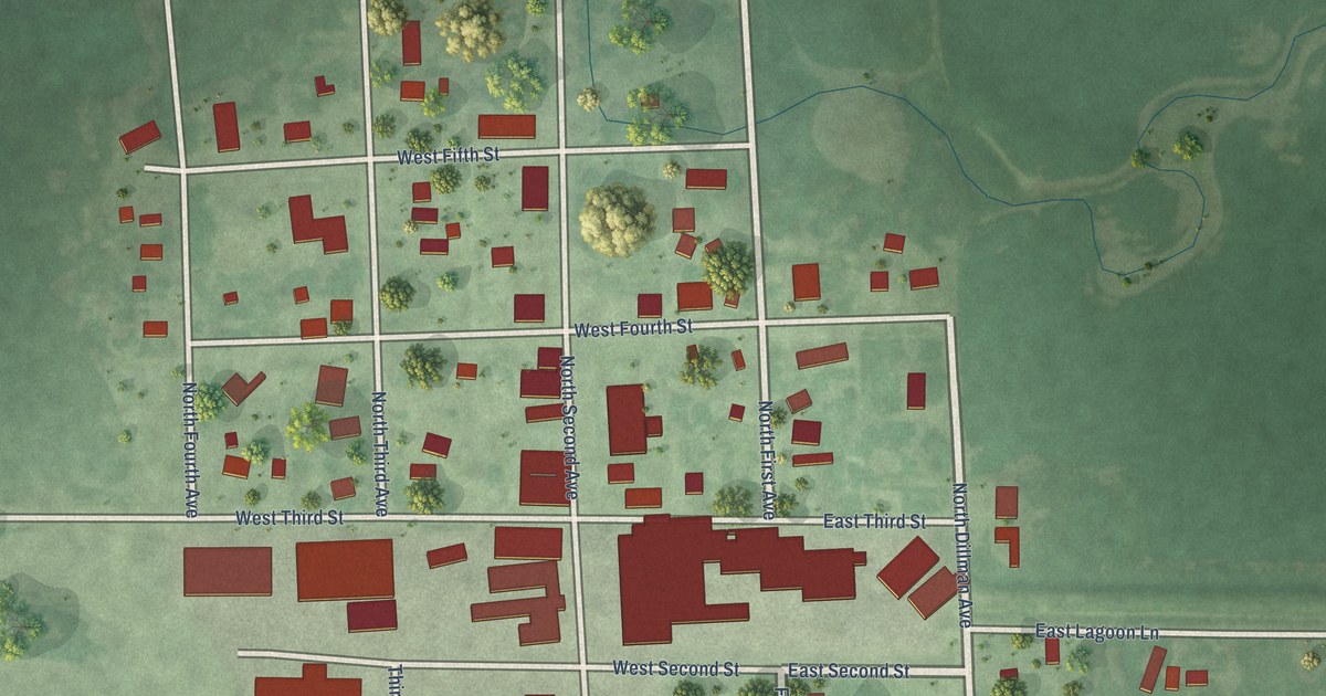
A detailed map of Revillo, South Dakota, showing every building in its true location, the roads by name, and shaded topographical relief.
Read More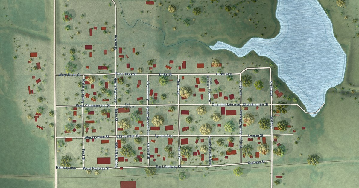
A detailed map of Reliance, South Dakota, showing every building in its true location, the roads by name, and shaded topographical relief.
Read More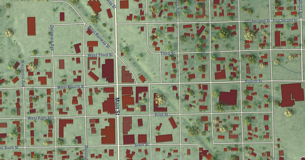
A detailed map of Platte, South Dakota, showing every building in its true location, the roads by name, and shaded topographical relief.
Read More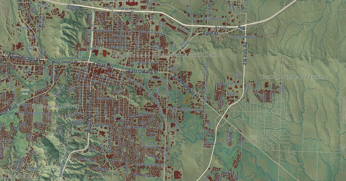
A detailed map of Rapid City, South Dakota, showing every building in its true location, the roads by name, and shaded topographical relief.
Read More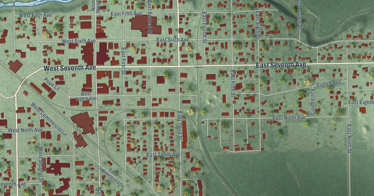
A detailed map of Redfield, South Dakota, showing every building in its true location, the roads by name, and shaded topographical relief.
Read More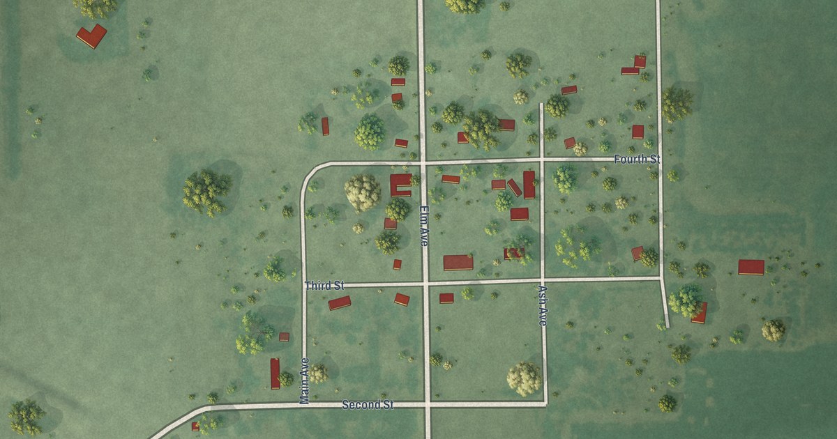
A detailed map of Ravinia, South Dakota, showing every building in its true location, the roads by name, and shaded topographical relief.
Read More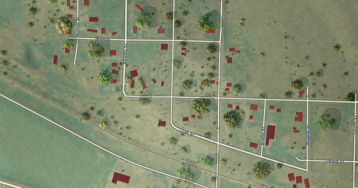
A detailed map of Quinn, South Dakota, showing every building in its true location, the roads by name, and shaded topographical relief.
Read More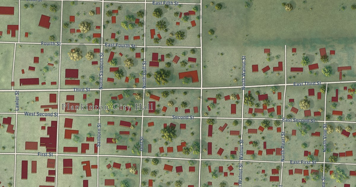
A detailed map of Plankinton, South Dakota, showing every building in its true location, the roads by name, and shaded topographical relief.
Read More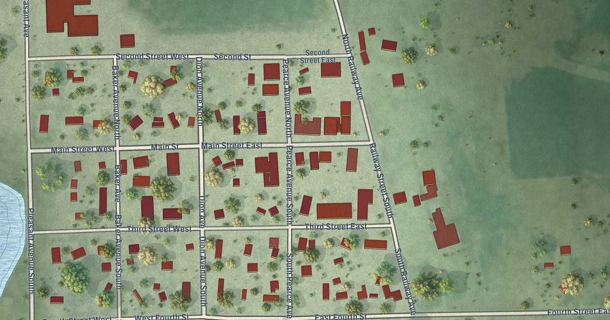
A detailed map of Ramona, South Dakota, showing every building in its true location, the roads by name, and shaded topographical relief.
Read More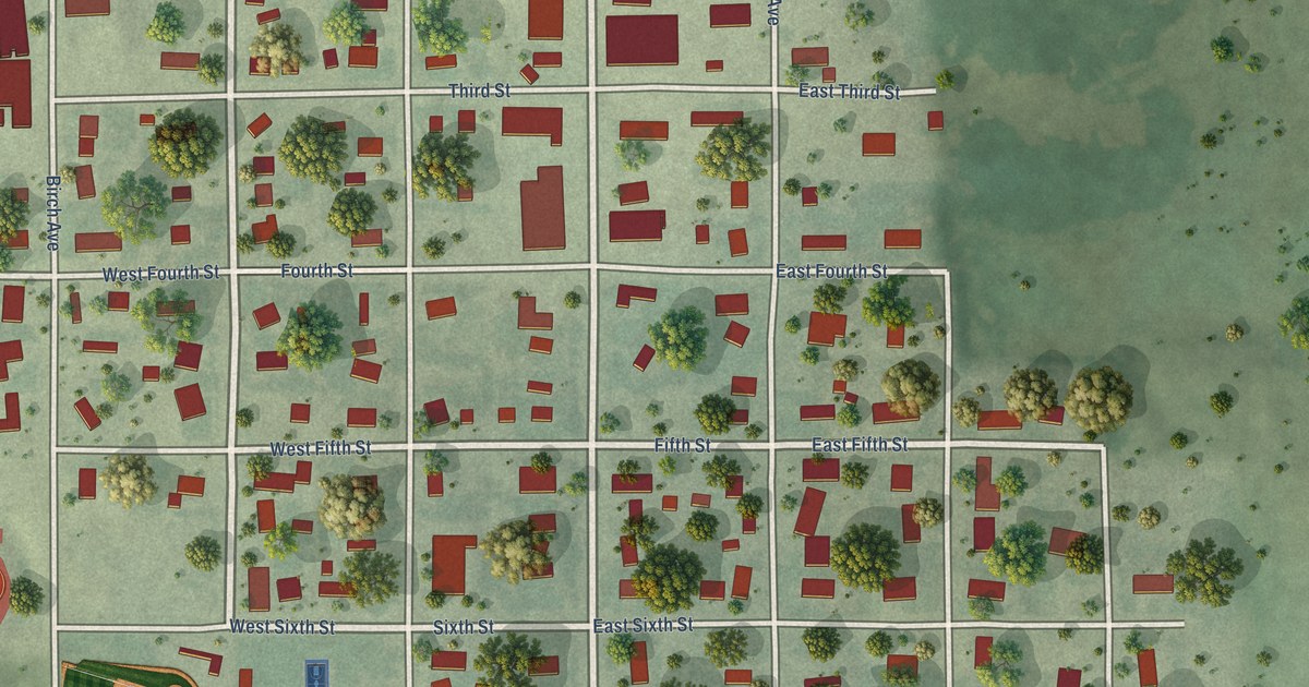
A detailed map of Presho, South Dakota, showing every building in its true location, the roads by name, and shaded topographical relief.
Read More















