Detailed Map of Liberty, South Carolina
A detailed map of Liberty, South Carolina, showing every building in its true location, the roads by name, and shaded topographical relief.
Read More
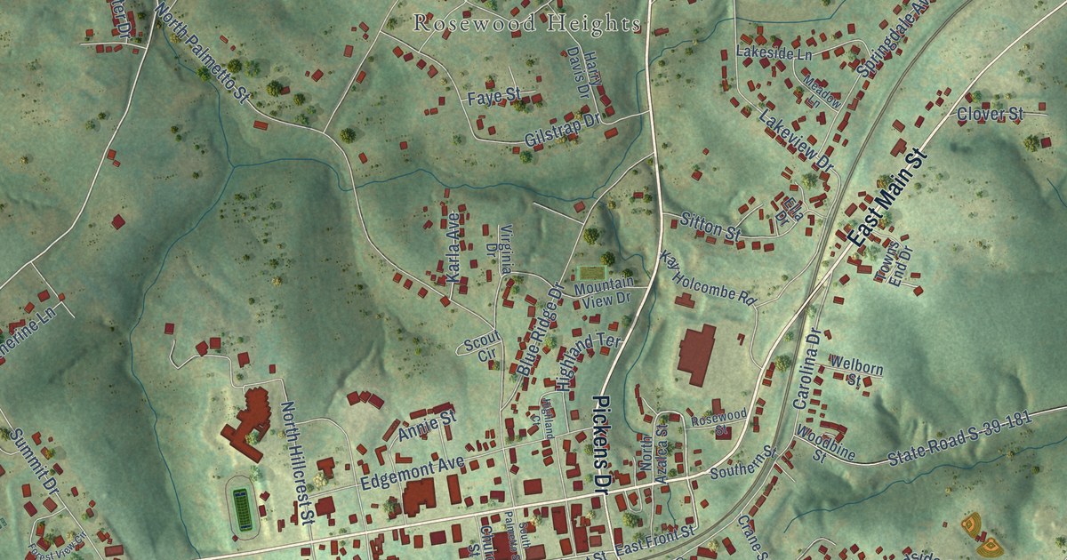
A detailed map of Liberty, South Carolina, showing every building in its true location, the roads by name, and shaded topographical relief.
Read More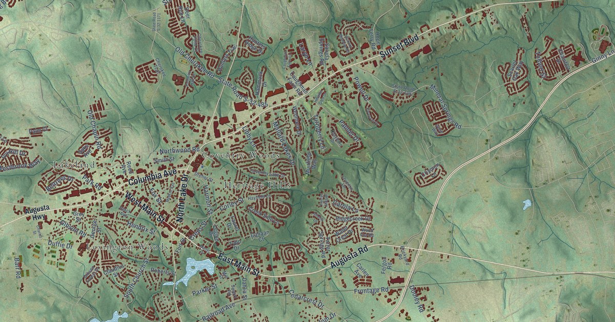
A detailed map of Lexington, South Carolina, showing every building in its true location, the roads by name, and shaded topographical relief.
Read More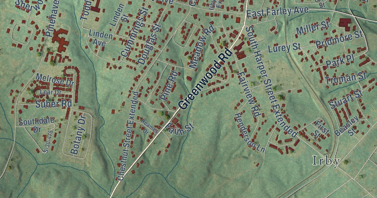
A detailed map of Laurens, South Carolina, showing every building in its true location, the roads by name, and shaded topographical relief.
Read More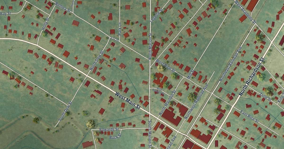
A detailed map of Latta, South Carolina, showing every building in its true location, the roads by name, and shaded topographical relief.
Read More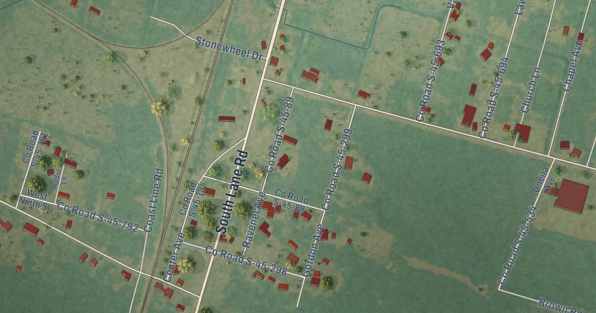
A detailed map of Lane, South Carolina, showing every building in its true location, the roads by name, and shaded topographical relief.
Read More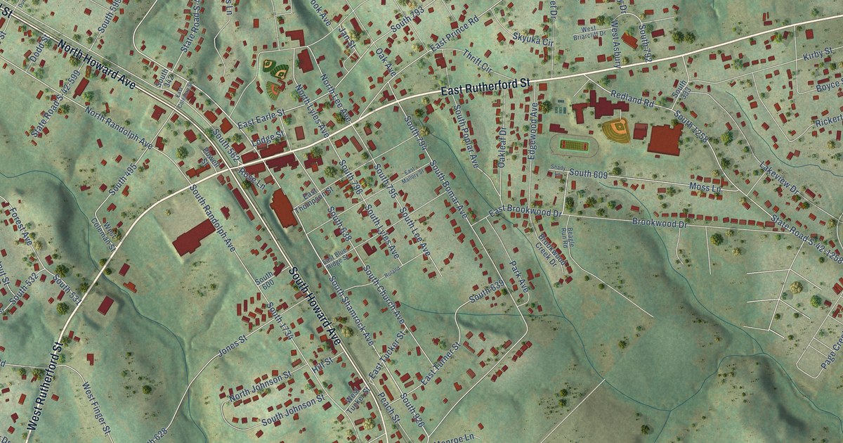
A detailed map of Landrum, South Carolina, showing every building in its true location, the roads by name, and shaded topographical relief.
Read More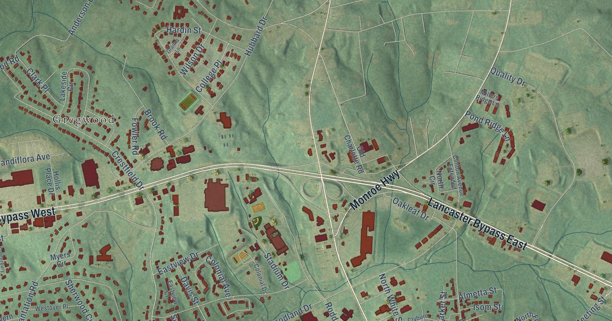
A detailed map of Lancaster, South Carolina, showing every building in its true location, the roads by name, and shaded topographical relief.
Read More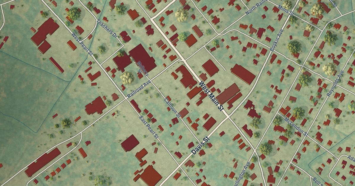
A detailed map of Lamar, South Carolina, showing every building in its true location, the roads by name, and shaded topographical relief.
Read More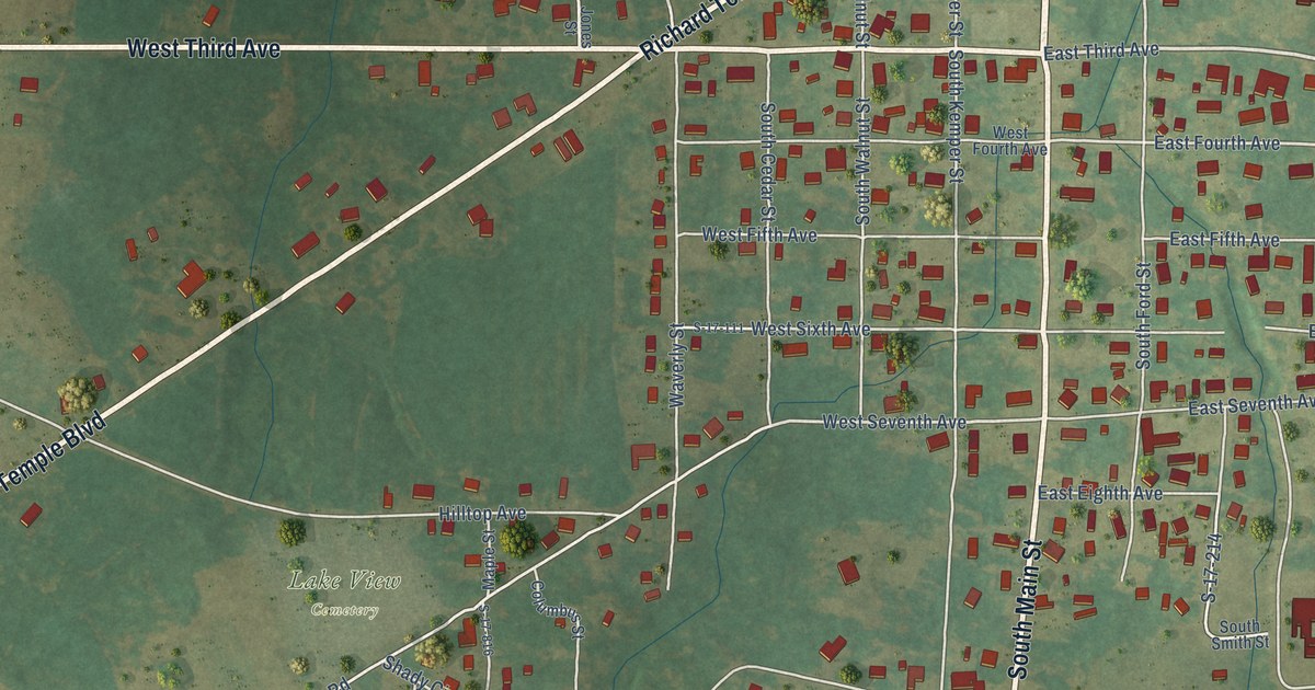
A detailed map of Lake View, South Carolina, showing every building in its true location, the roads by name, and shaded topographical relief.
Read More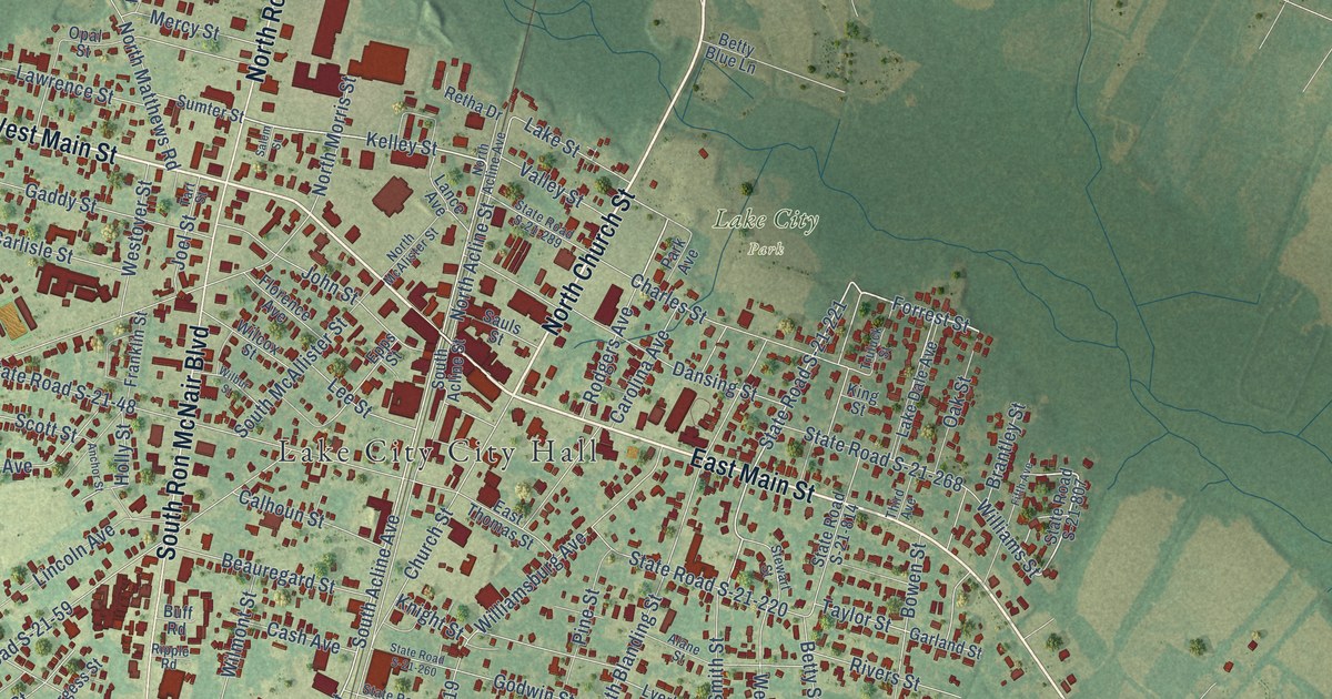
A detailed map of Lake City, South Carolina, showing every building in its true location, the roads by name, and shaded topographical relief.
Read More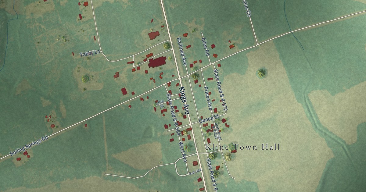
A detailed map of Kline, South Carolina, showing every building in its true location, the roads by name, and shaded topographical relief.
Read More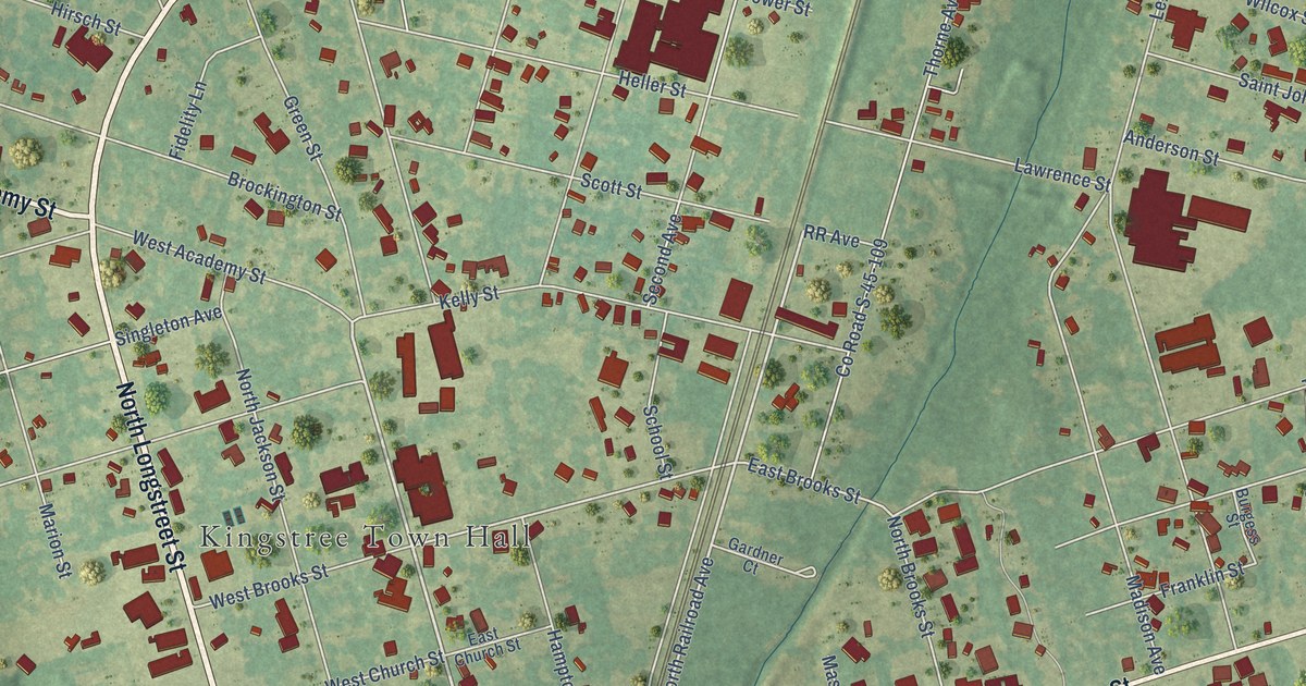
A detailed map of Kingstree, South Carolina, showing every building in its true location, the roads by name, and shaded topographical relief.
Read More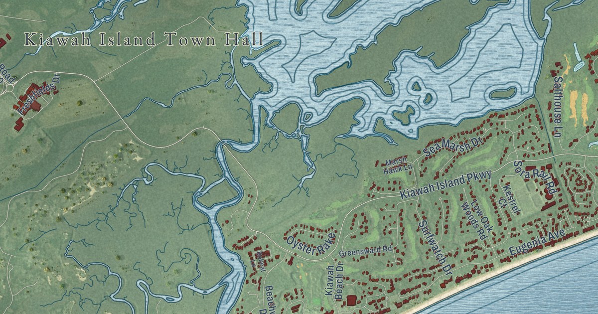
A detailed map of Kiawah Island, South Carolina, showing every building in its true location, the roads by name, and shaded topographical relief.
Read More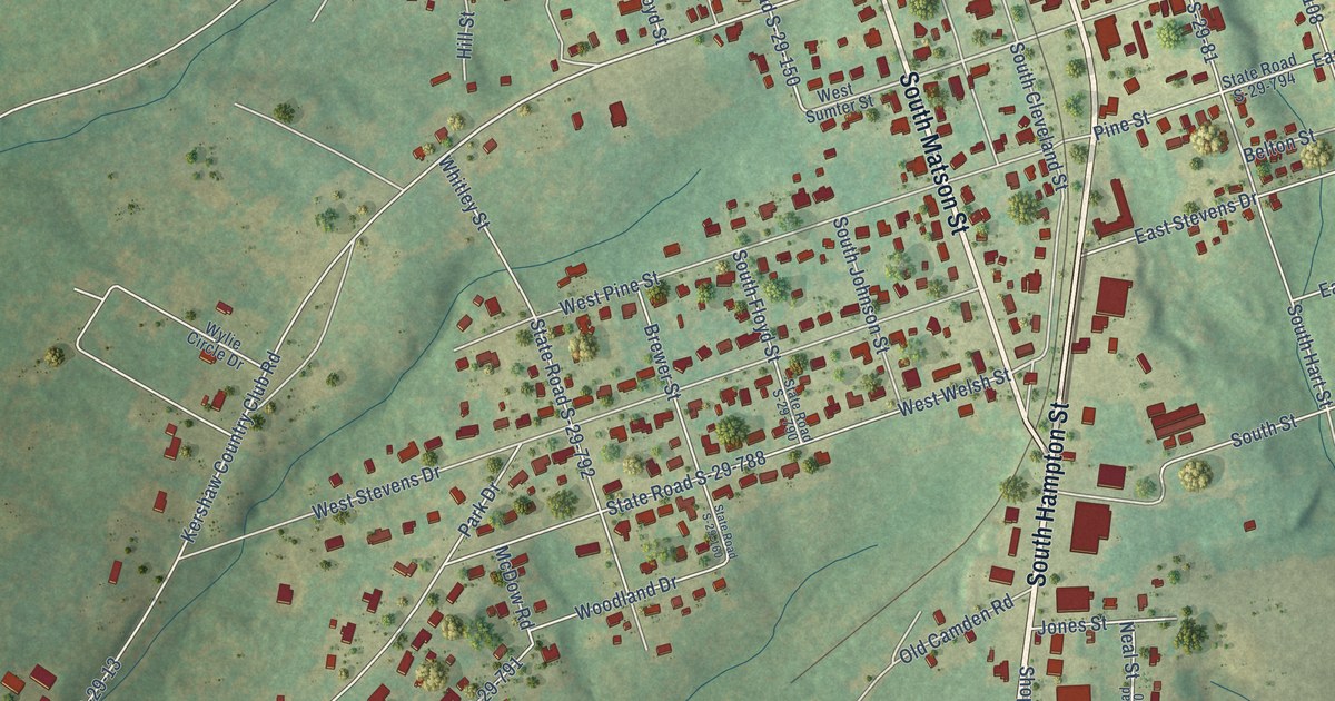
A detailed map of Kershaw, South Carolina, showing every building in its true location, the roads by name, and shaded topographical relief.
Read More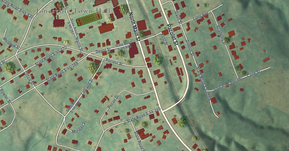
A detailed map of Jonesville, South Carolina, showing every building in its true location, the roads by name, and shaded topographical relief.
Read More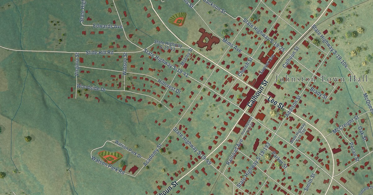
A detailed map of Johnston, South Carolina, showing every building in its true location, the roads by name, and shaded topographical relief.
Read More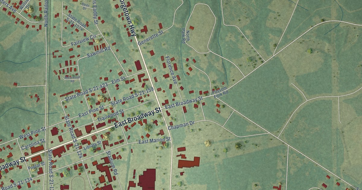
A detailed map of Johnsonville, South Carolina, showing every building in its true location, the roads by name, and shaded topographical relief.
Read More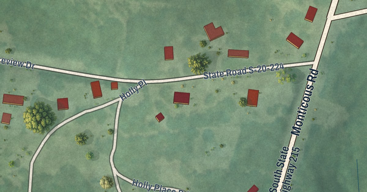
A detailed map of Jenkinsville, South Carolina, showing every building in its true location, the roads by name, and shaded topographical relief.
Read More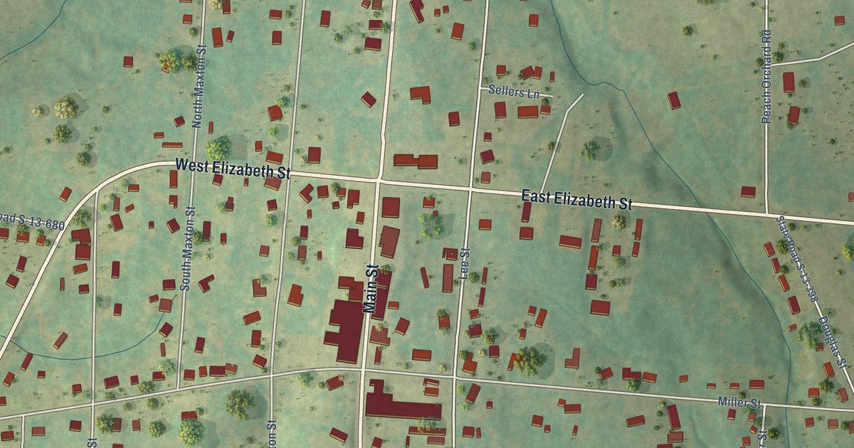
A detailed map of Jefferson, South Carolina, showing every building in its true location, the roads by name, and shaded topographical relief.
Read More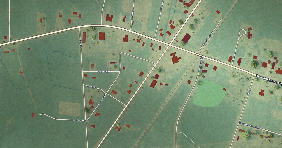
A detailed map of Jamestown, South Carolina, showing every building in its true location, the roads by name, and shaded topographical relief.
Read More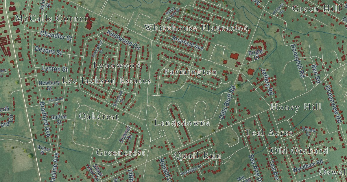
A detailed map of James Island, South Carolina, showing every building in its true location, the roads by name, and shaded topographical relief.
Read More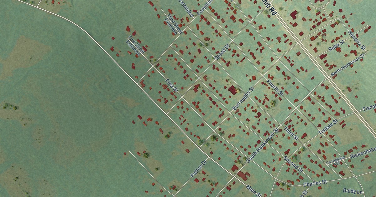
A detailed map of Jackson, South Carolina, showing every building in its true location, the roads by name, and shaded topographical relief.
Read More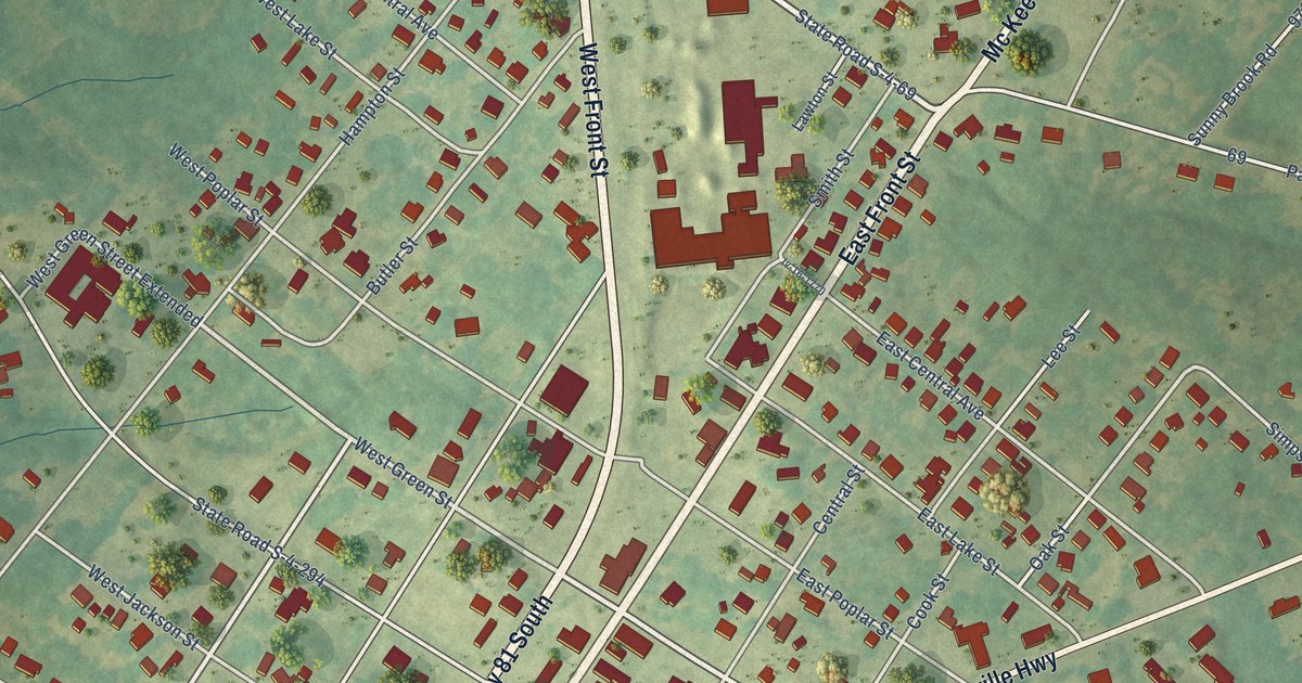
A detailed map of Iva, South Carolina, showing every building in its true location, the roads by name, and shaded topographical relief.
Read More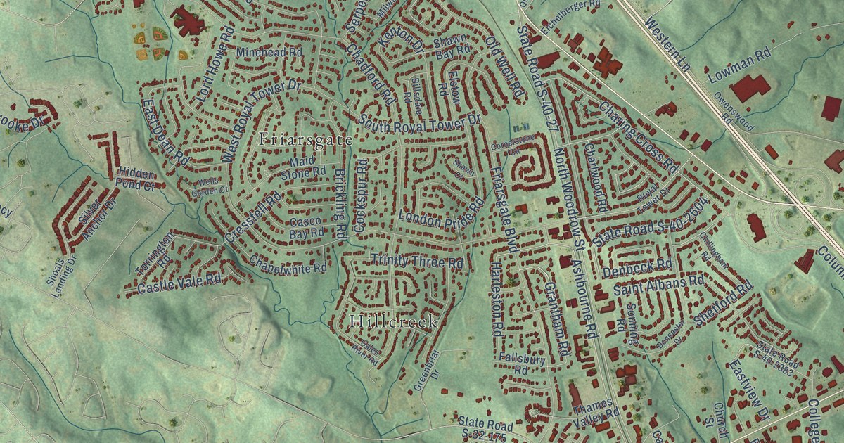
A detailed map of Irmo, South Carolina, showing every building in its true location, the roads by name, and shaded topographical relief.
Read More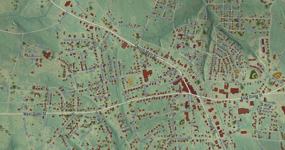
A detailed map of Honea Path, South Carolina, showing every building in its true location, the roads by name, and shaded topographical relief.
Read More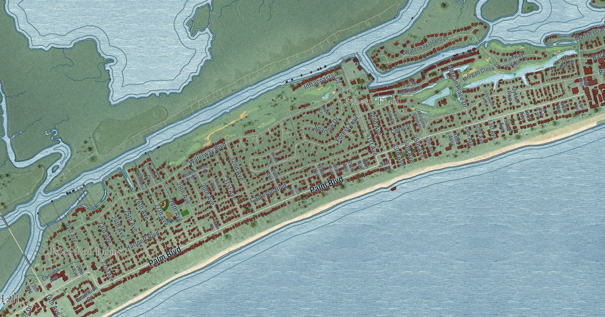
A detailed map of Isle of Palms, South Carolina, showing every building in its true location, the roads by name, and shaded topographical relief.
Read More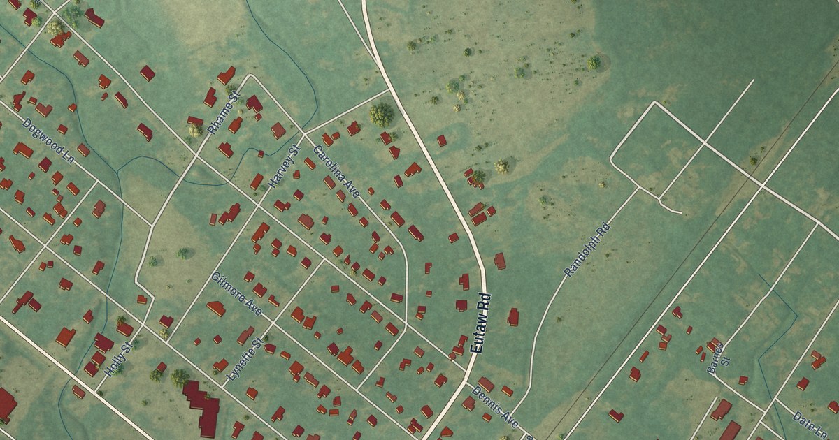
A detailed map of Holly Hill, South Carolina, showing every building in its true location, the roads by name, and shaded topographical relief.
Read More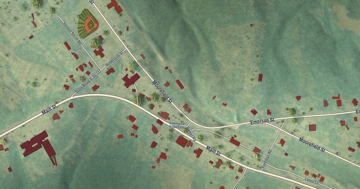
A detailed map of Hodges, South Carolina, showing every building in its true location, the roads by name, and shaded topographical relief.
Read More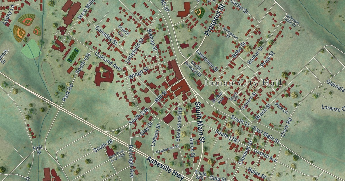
A detailed map of Inman, South Carolina, showing every building in its true location, the roads by name, and shaded topographical relief.
Read More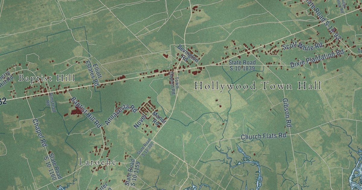
A detailed map of Hollywood, South Carolina, showing every building in its true location, the roads by name, and shaded topographical relief.
Read More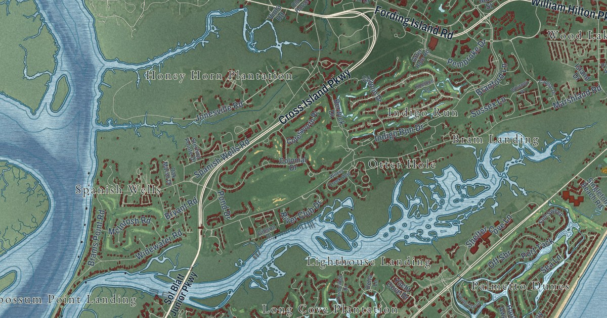
A detailed map of Hilton Head Island, South Carolina, showing every building in its true location, the roads by name, and shaded topographical relief.
Read More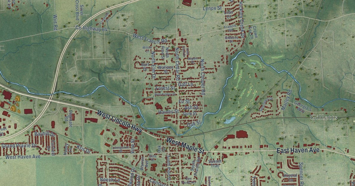
A detailed map of New Lenox, Illinois, showing every building in its true location, the roads by name, and shaded topographical relief.
Read More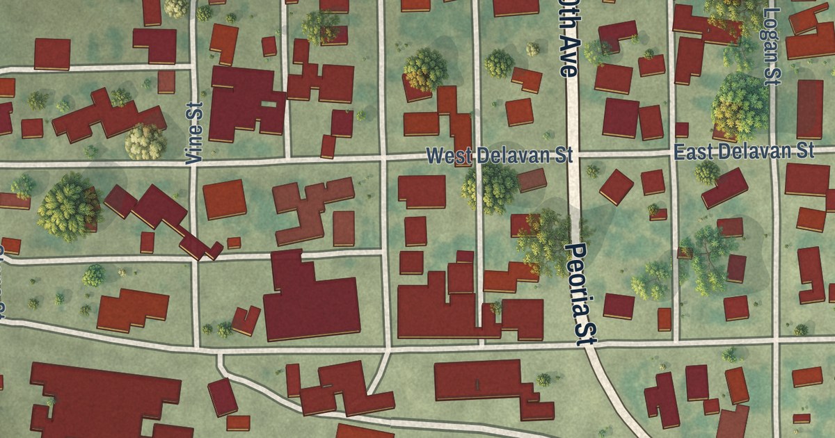
A detailed map of New Holland, Illinois, showing every building in its true location, the roads by name, and shaded topographical relief.
Read More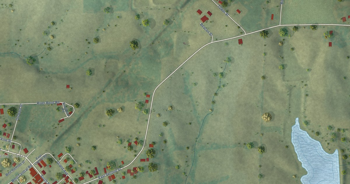
A detailed map of New Grand Chain, Illinois, showing every building in its true location, the roads by name, and shaded topographical relief.
Read More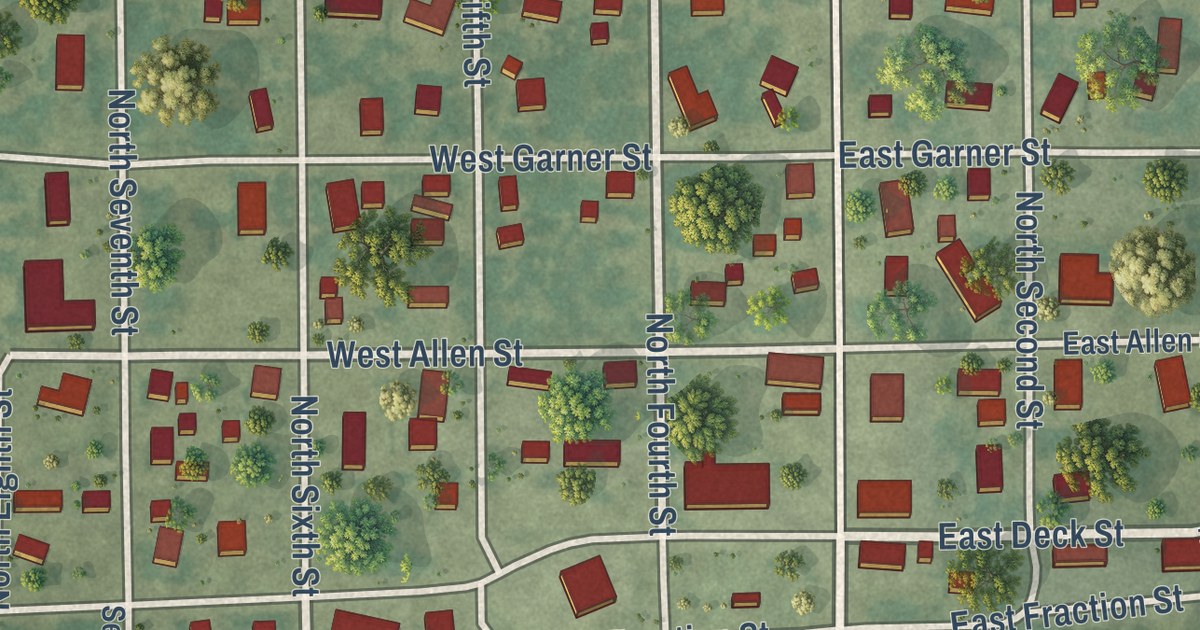
A detailed map of New Douglas, Illinois, showing every building in its true location, the roads by name, and shaded topographical relief.
Read More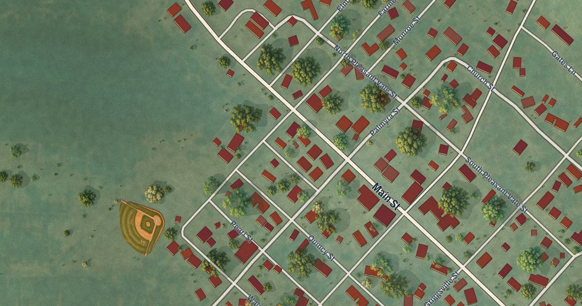
A detailed map of New Canton, Illinois, showing every building in its true location, the roads by name, and shaded topographical relief.
Read More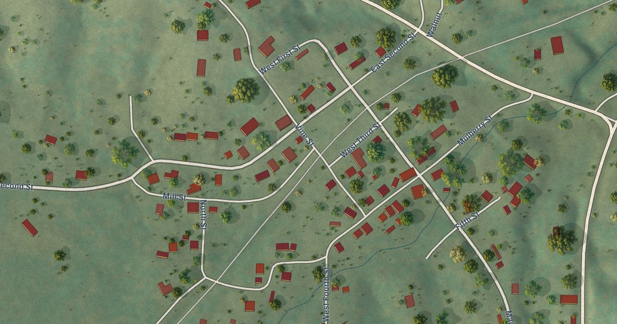
A detailed map of New Burnside, Illinois, showing every building in its true location, the roads by name, and shaded topographical relief.
Read More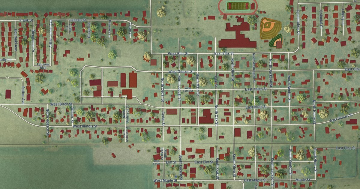
A detailed map of New Berlin, Illinois, showing every building in its true location, the roads by name, and shaded topographical relief.
Read More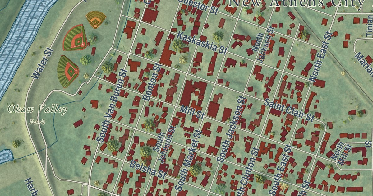
A detailed map of New Athens, Illinois, showing every building in its true location, the roads by name, and shaded topographical relief.
Read More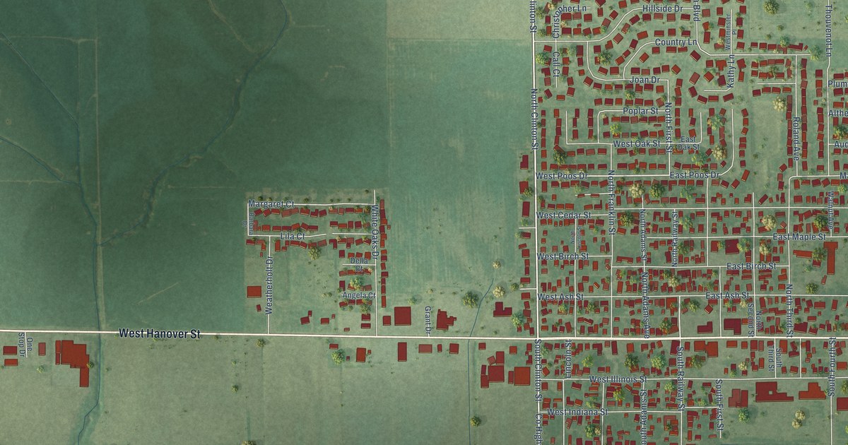
A detailed map of New Baden, Illinois, showing every building in its true location, the roads by name, and shaded topographical relief.
Read More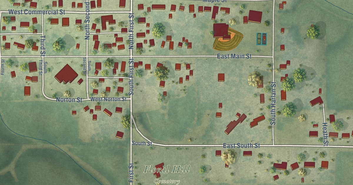
A detailed map of Neponset, Illinois, showing every building in its true location, the roads by name, and shaded topographical relief.
Read More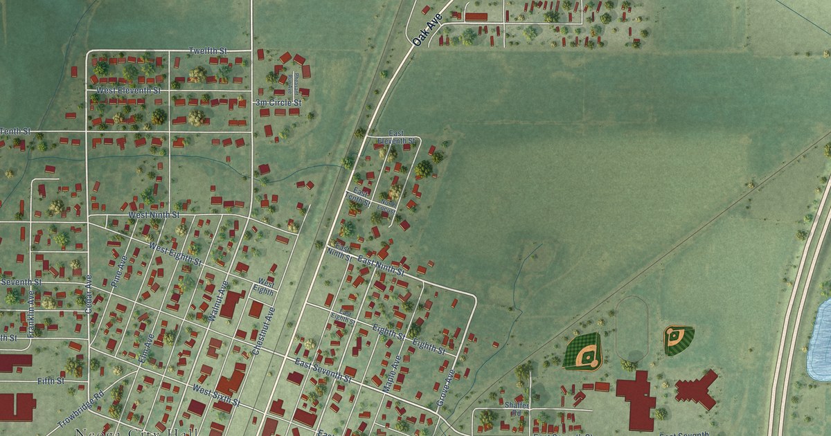
A detailed map of Neoga, Illinois, showing every building in its true location, the roads by name, and shaded topographical relief.
Read More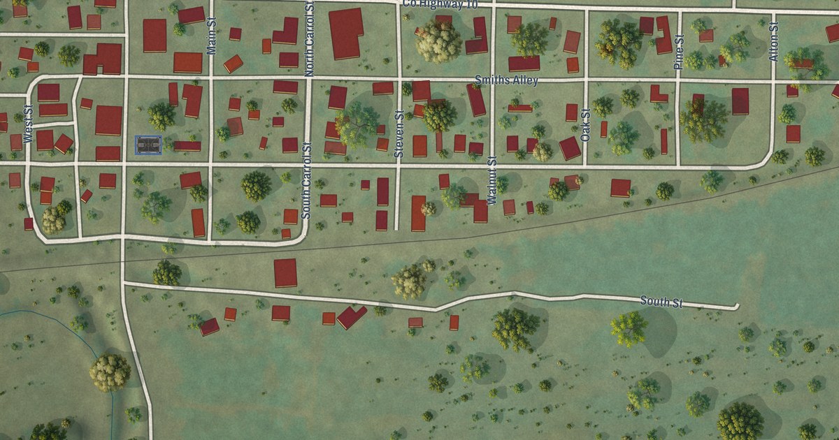
A detailed map of Nebo, Illinois, showing every building in its true location, the roads by name, and shaded topographical relief.
Read More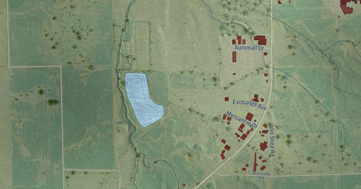
A detailed map of Nashville, Illinois, showing every building in its true location, the roads by name, and shaded topographical relief.
Read More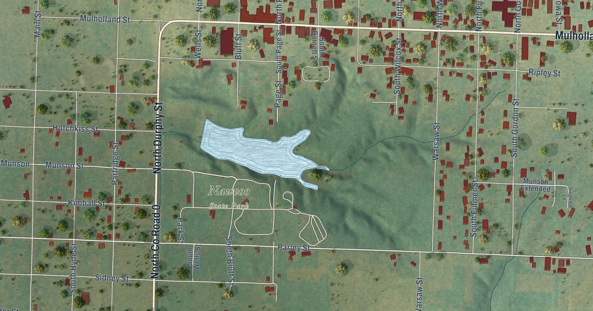
A detailed map of Nauvoo, Illinois, showing every building in its true location, the roads by name, and shaded topographical relief.
Read More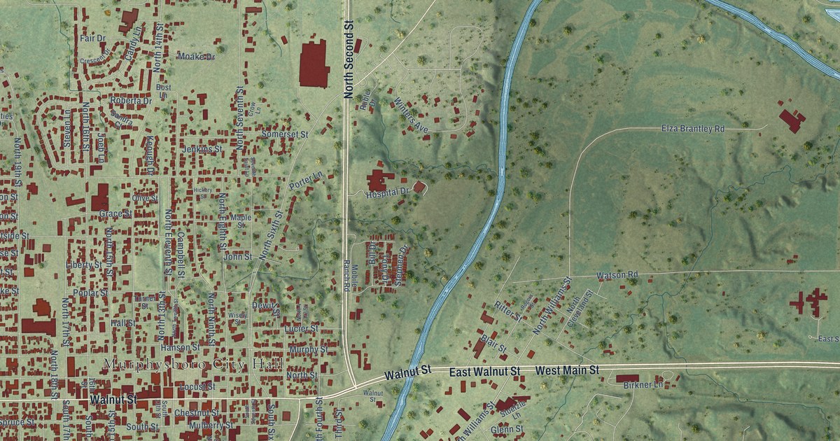
A detailed map of Murphysboro, Illinois, showing every building in its true location, the roads by name, and shaded topographical relief.
Read More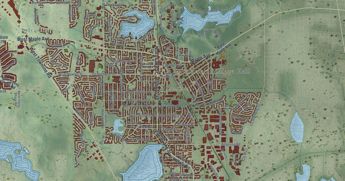
A detailed map of Mundelein, Illinois, showing every building in its true location, the roads by name, and shaded topographical relief.
Read More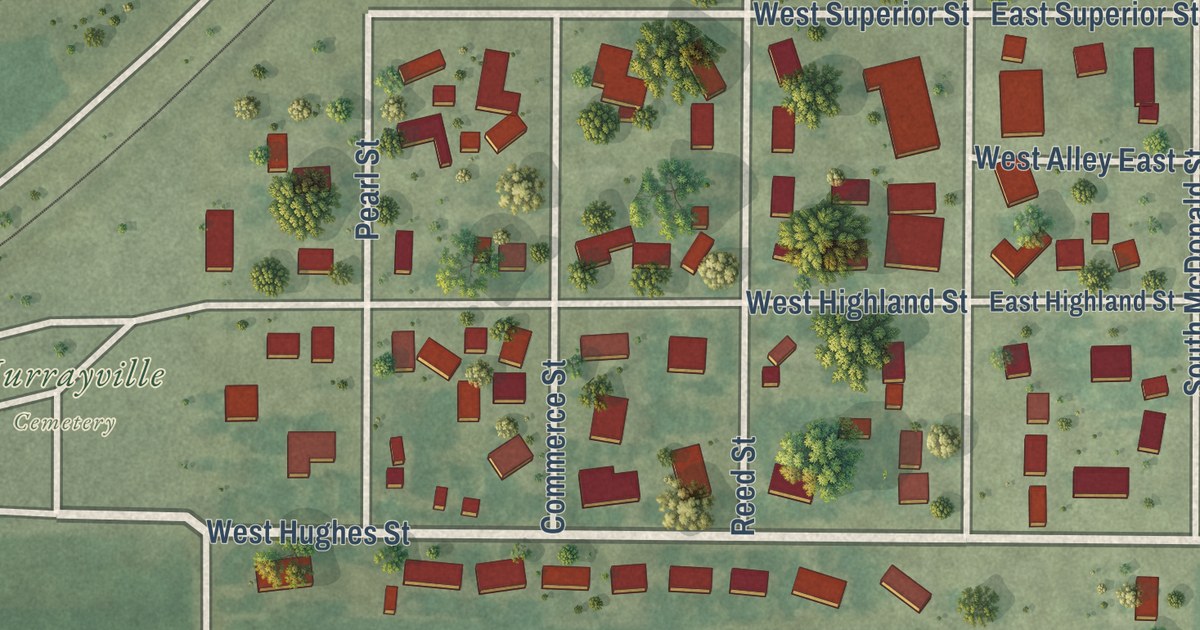
A detailed map of Murrayville, Illinois, showing every building in its true location, the roads by name, and shaded topographical relief.
Read More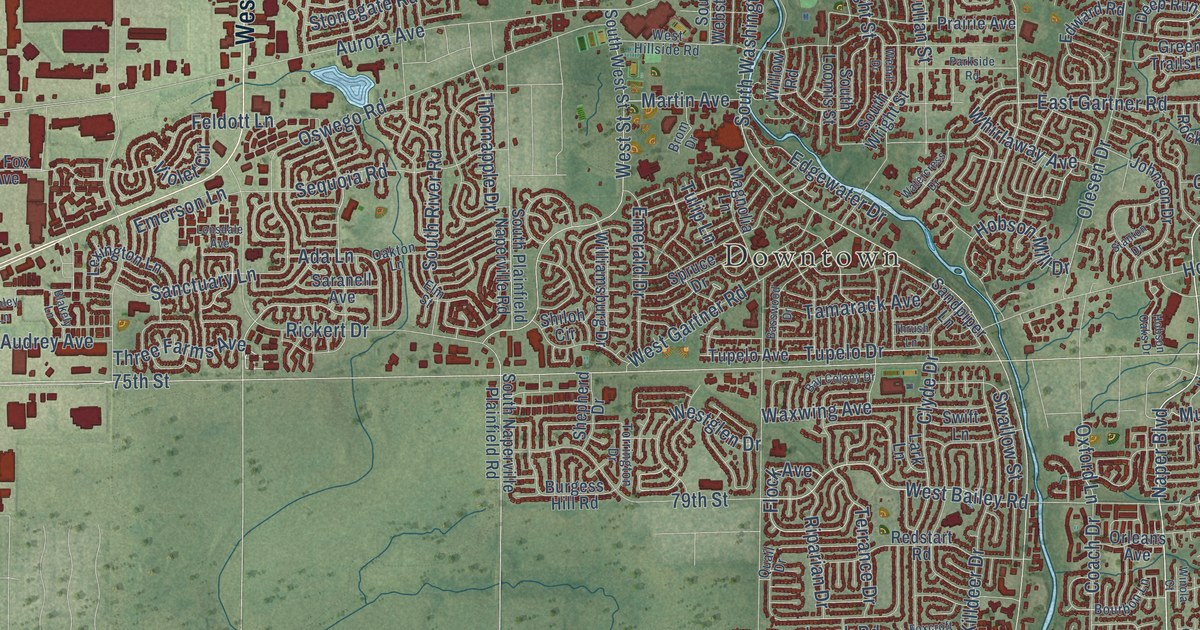
A detailed map of Naperville, Illinois, showing every building in its true location, the roads by name, and shaded topographical relief.
Read More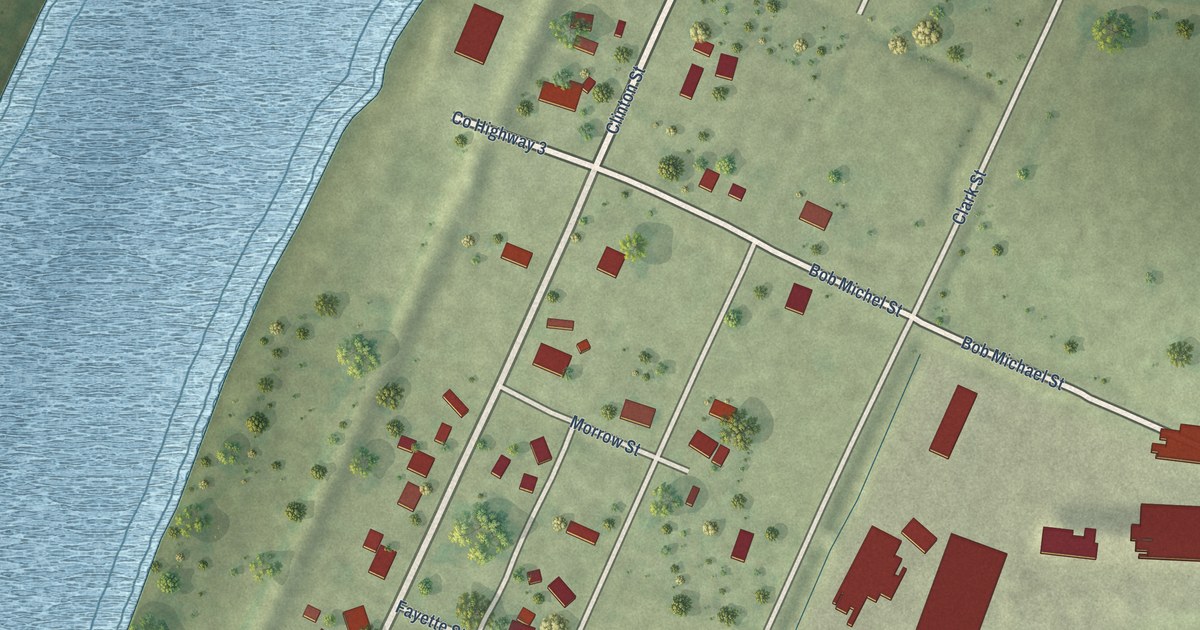
A detailed map of Naples, Illinois, showing every building in its true location, the roads by name, and shaded topographical relief.
Read More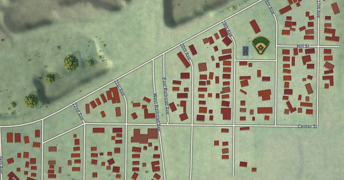
A detailed map of Naplate, Illinois, showing every building in its true location, the roads by name, and shaded topographical relief.
Read More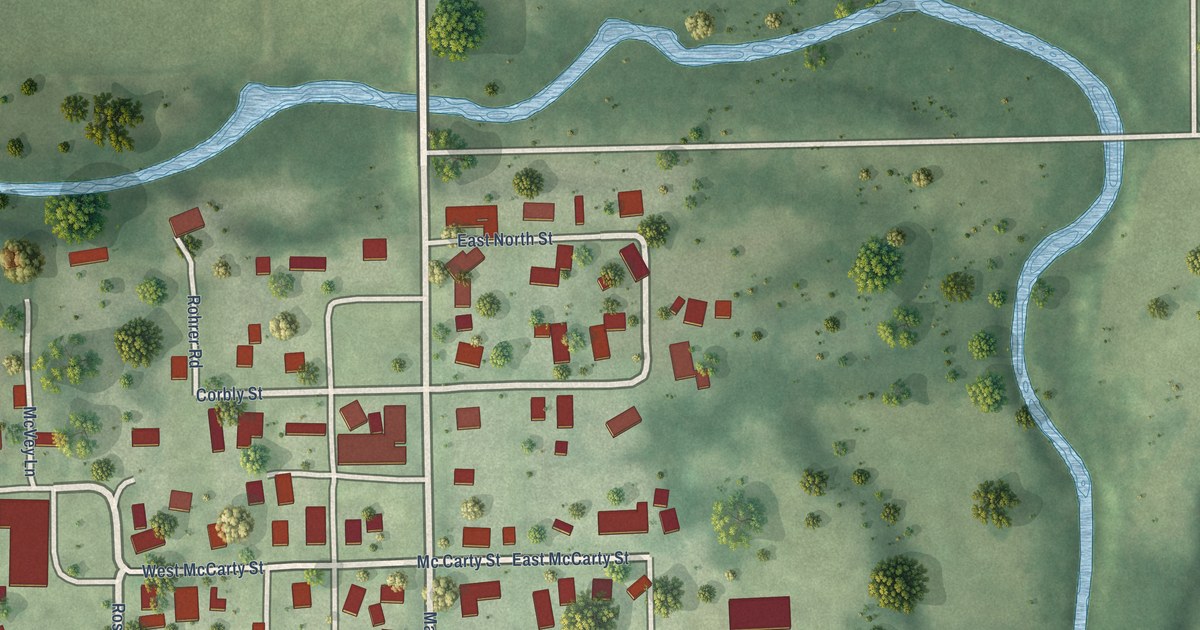
A detailed map of Muncie, Illinois, showing every building in its true location, the roads by name, and shaded topographical relief.
Read More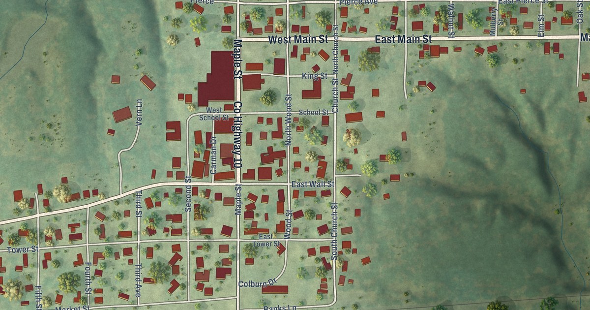
A detailed map of Mulberry Grove, Illinois, showing every building in its true location, the roads by name, and shaded topographical relief.
Read More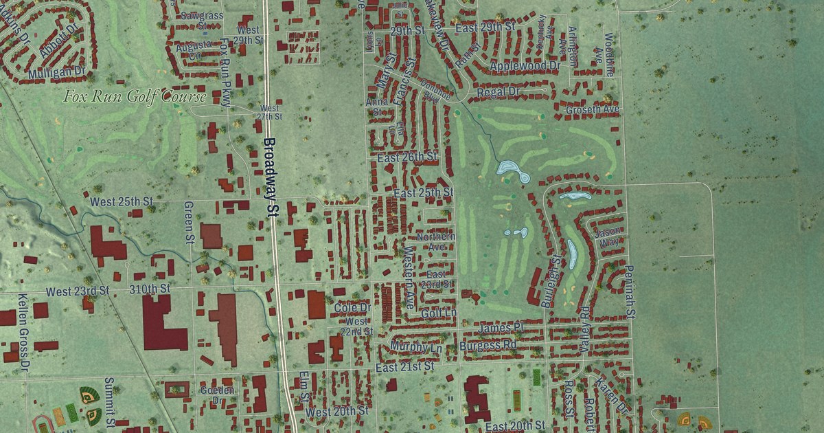
A detailed map of Yankton, South Dakota, showing every building in its true location, the roads by name, and shaded topographical relief.
Read More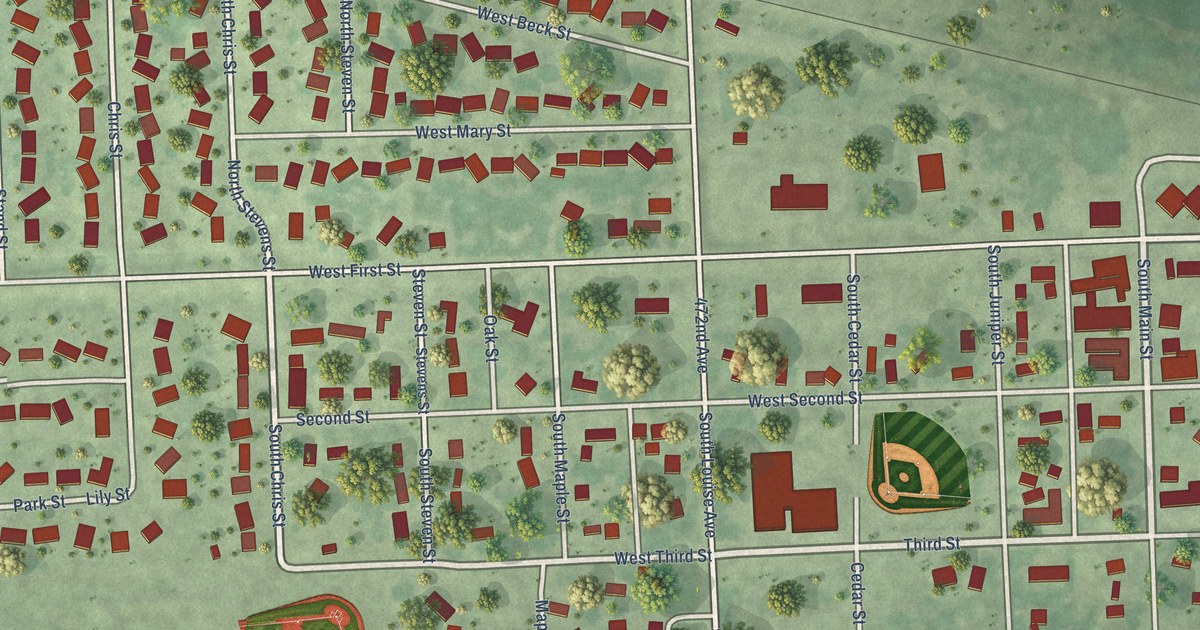
A detailed map of Worthing, South Dakota, showing every building in its true location, the roads by name, and shaded topographical relief.
Read More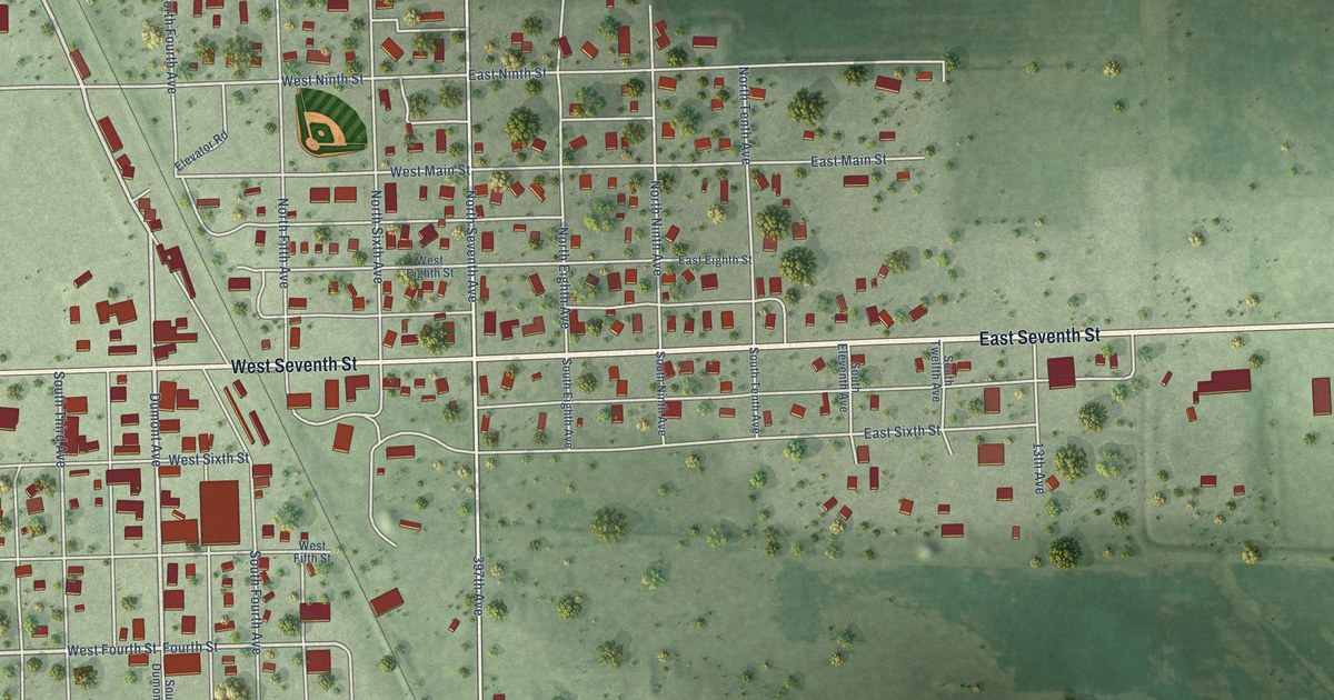
A detailed map of Woonsocket, South Dakota, showing every building in its true location, the roads by name, and shaded topographical relief.
Read More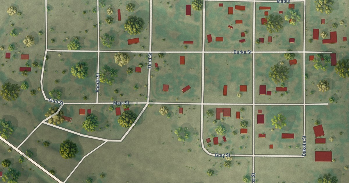
A detailed map of Wood, South Dakota, showing every building in its true location, the roads by name, and shaded topographical relief.
Read More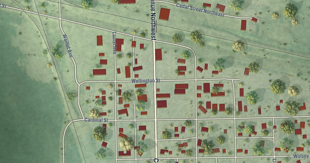
A detailed map of Wolsey, South Dakota, showing every building in its true location, the roads by name, and shaded topographical relief.
Read More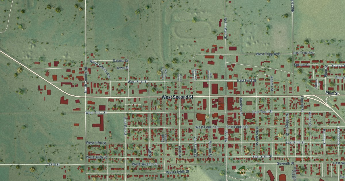
A detailed map of Winner, South Dakota, showing every building in its true location, the roads by name, and shaded topographical relief.
Read More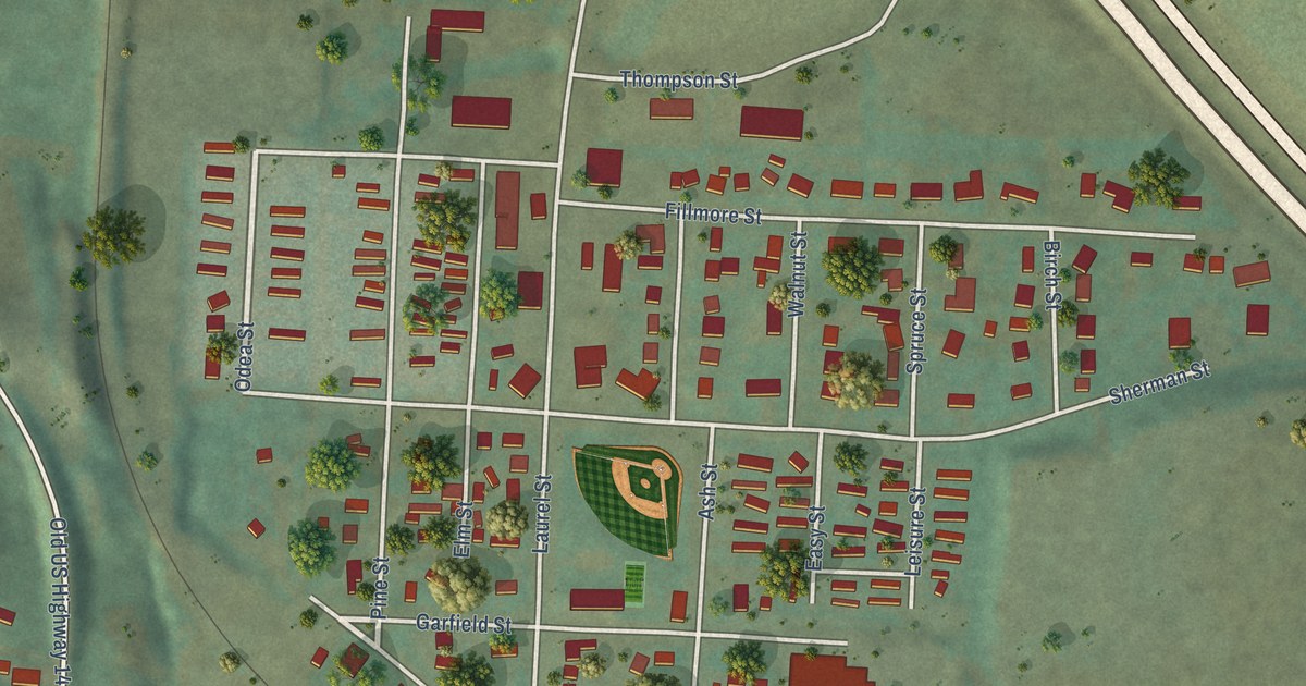
A detailed map of Whitewood, South Dakota, showing every building in its true location, the roads by name, and shaded topographical relief.
Read More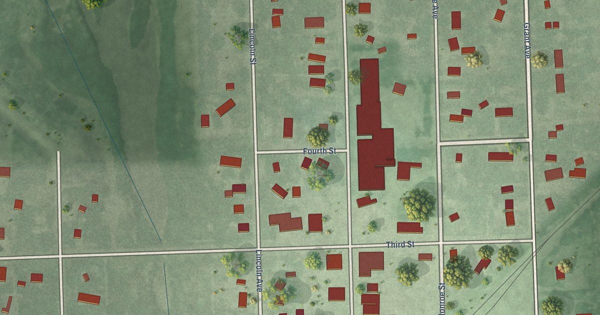
A detailed map of Willow Lake, South Dakota, showing every building in its true location, the roads by name, and shaded topographical relief.
Read More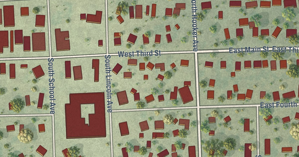
A detailed map of White, South Dakota, showing every building in its true location, the roads by name, and shaded topographical relief.
Read More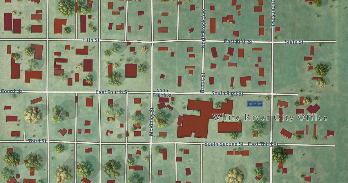
A detailed map of White River, South Dakota, showing every building in its true location, the roads by name, and shaded topographical relief.
Read More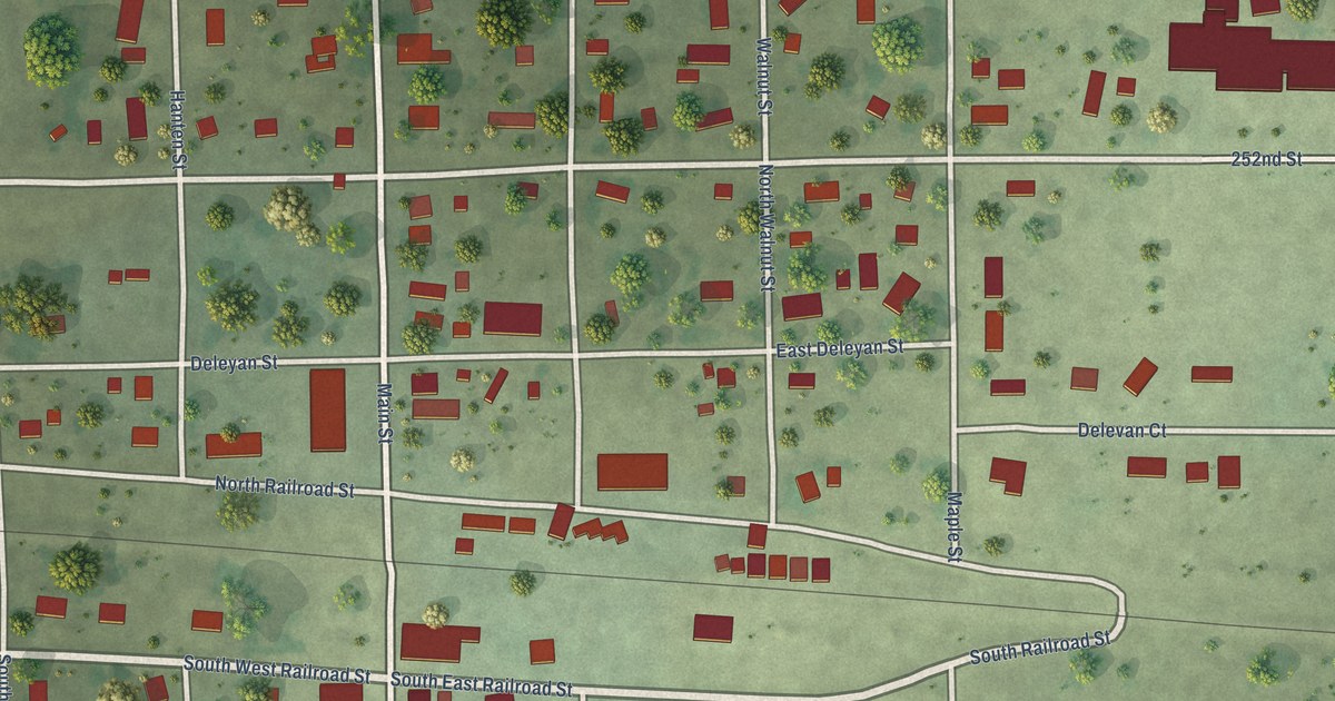
A detailed map of White Lake, South Dakota, showing every building in its true location, the roads by name, and shaded topographical relief.
Read More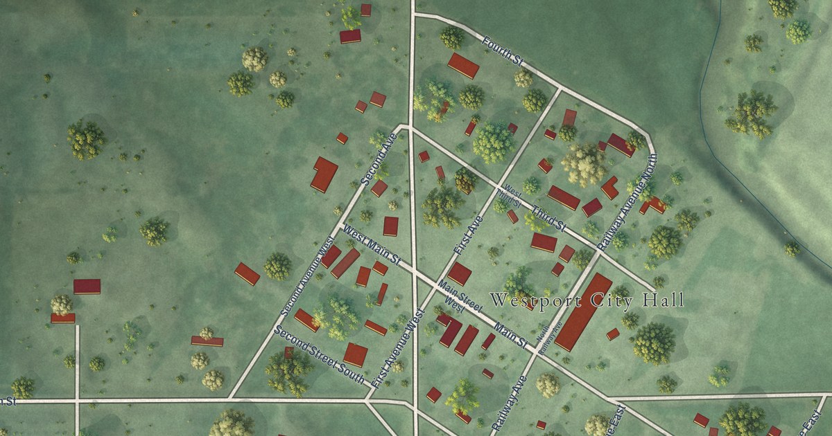
A detailed map of Westport, South Dakota, showing every building in its true location, the roads by name, and shaded topographical relief.
Read More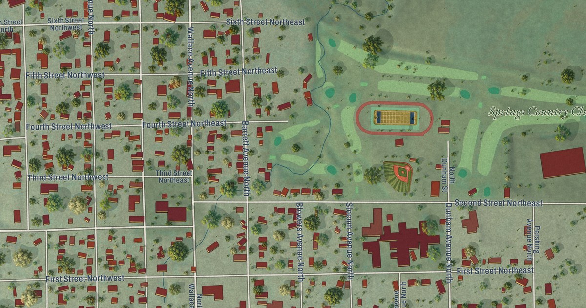
A detailed map of Wessington Springs, South Dakota, showing every building in its true location, the roads by name, and shaded topographical relief.
Read More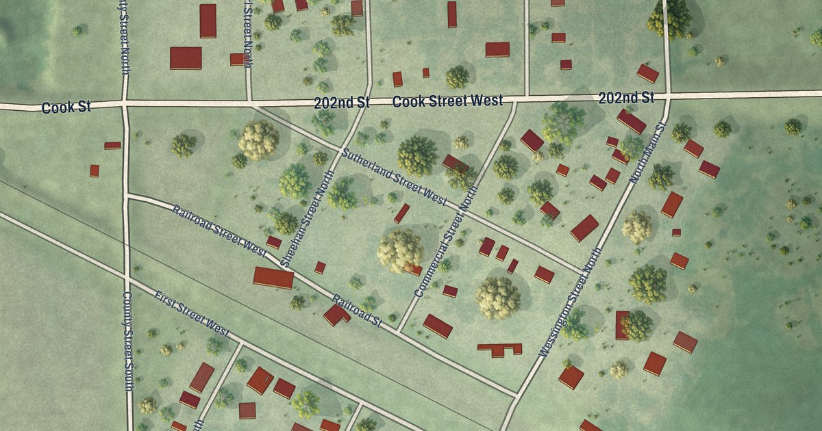
A detailed map of Wessington, South Dakota, showing every building in its true location, the roads by name, and shaded topographical relief.
Read More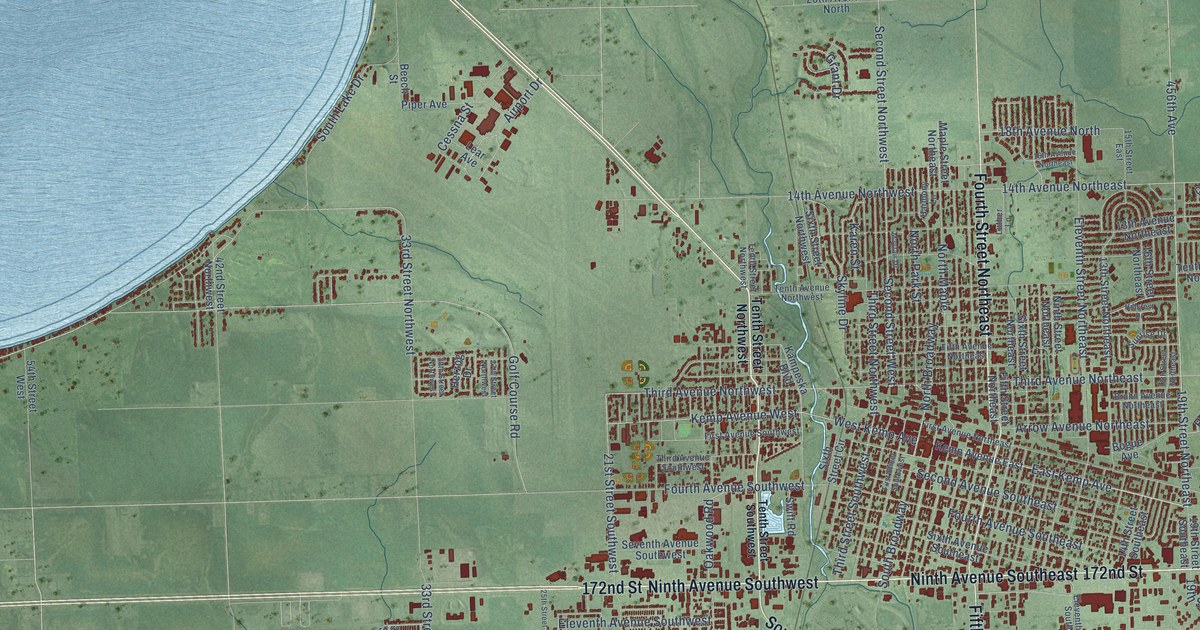
A detailed map of Watertown, South Dakota, showing every building in its true location, the roads by name, and shaded topographical relief.
Read More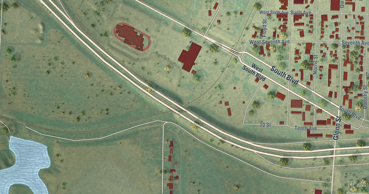
A detailed map of Wall, South Dakota, showing every building in its true location, the roads by name, and shaded topographical relief.
Read More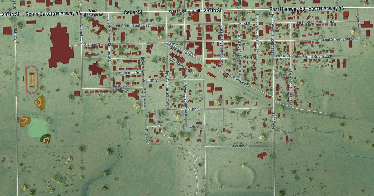
A detailed map of Wagner, South Dakota, showing every building in its true location, the roads by name, and shaded topographical relief.
Read More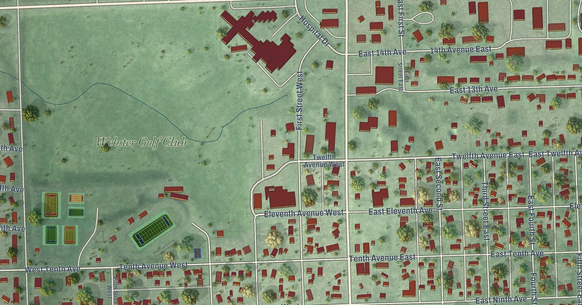
A detailed map of Webster, South Dakota, showing every building in its true location, the roads by name, and shaded topographical relief.
Read More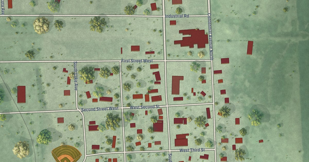
A detailed map of Wentworth, South Dakota, showing every building in its true location, the roads by name, and shaded topographical relief.
Read More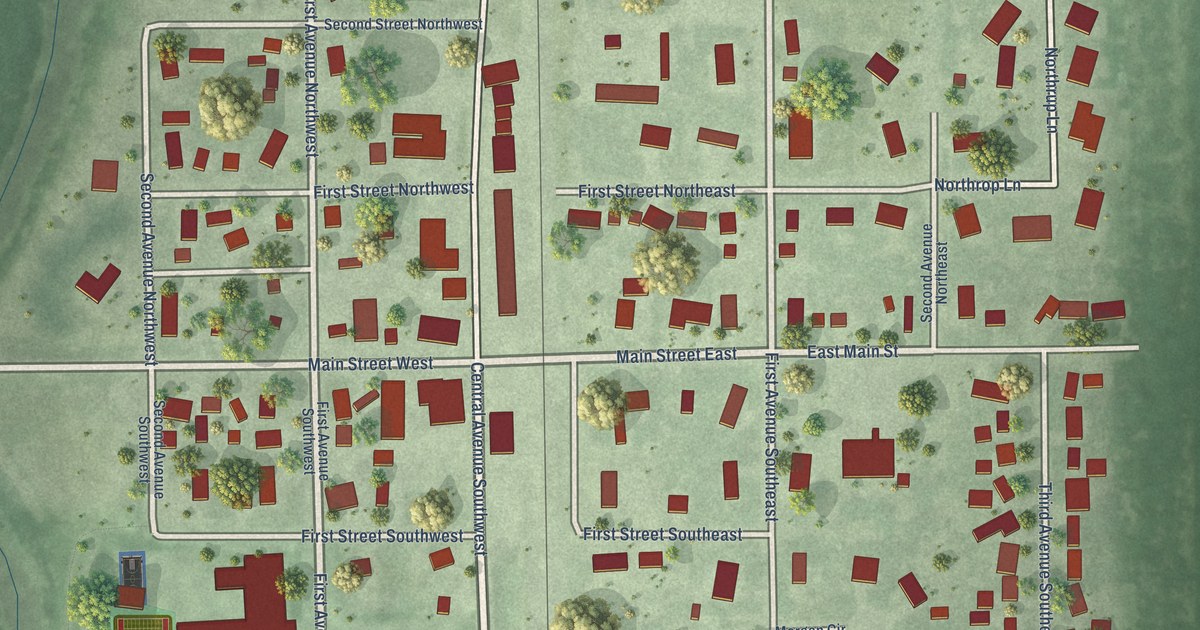
A detailed map of Warner, South Dakota, showing every building in its true location, the roads by name, and shaded topographical relief.
Read More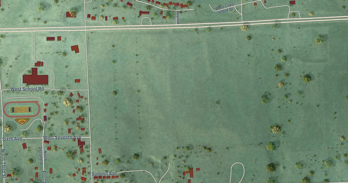
A detailed map of Waubay, South Dakota, showing every building in its true location, the roads by name, and shaded topographical relief.
Read More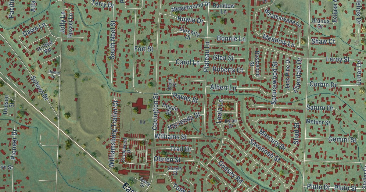
A detailed map of Rapid Valley, South Dakota, showing every building in its true location, the roads by name, and shaded topographical relief.
Read More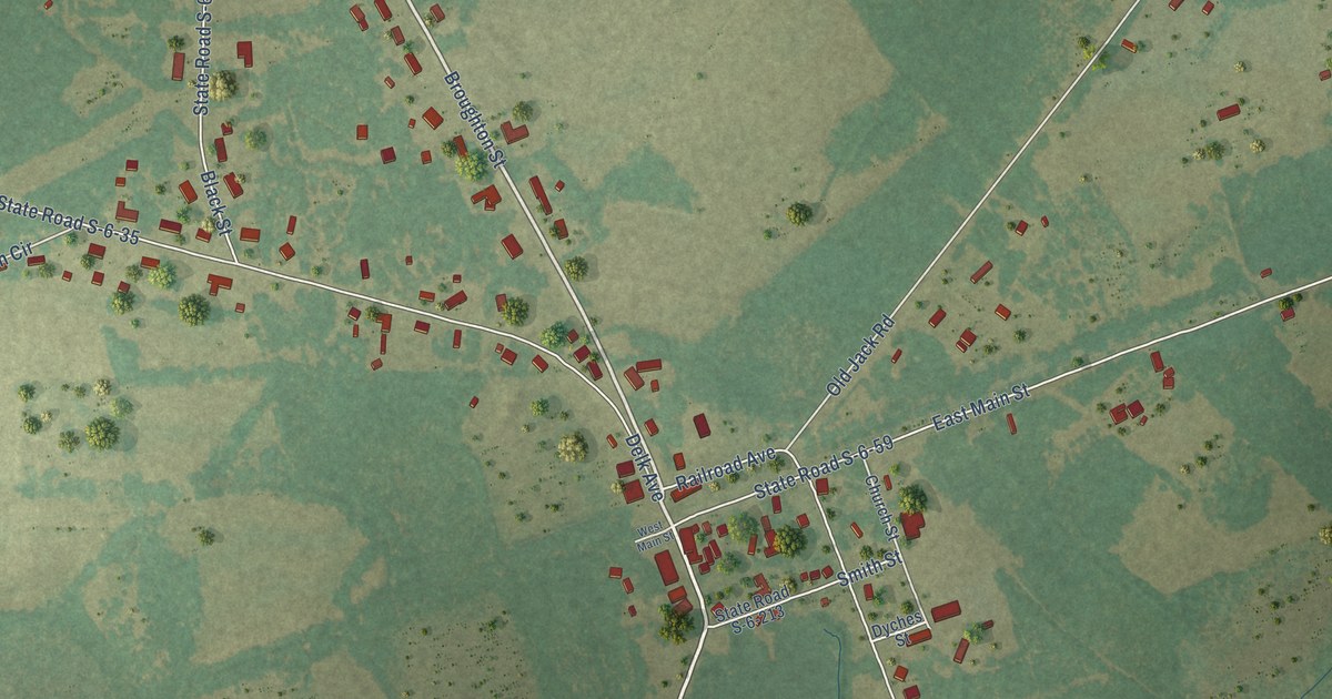
A detailed map of Hilda, South Carolina, showing every building in its true location, the roads by name, and shaded topographical relief.
Read More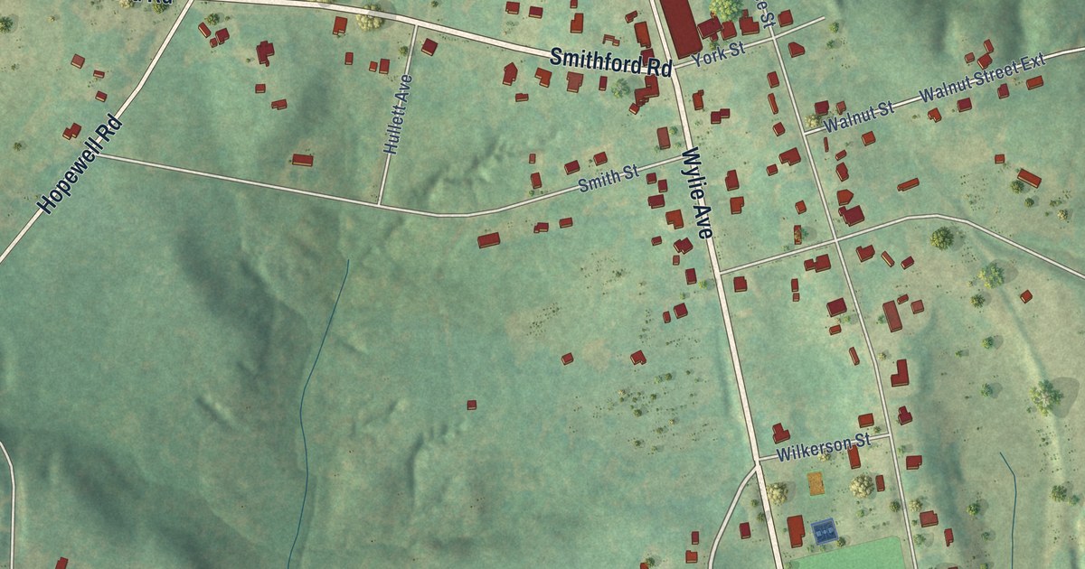
A detailed map of Hickory Grove, South Carolina, showing every building in its true location, the roads by name, and shaded topographical relief.
Read More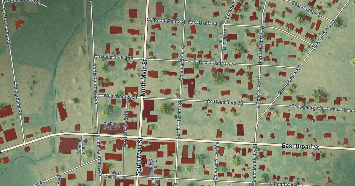
A detailed map of Hemingway, South Carolina, showing every building in its true location, the roads by name, and shaded topographical relief.
Read More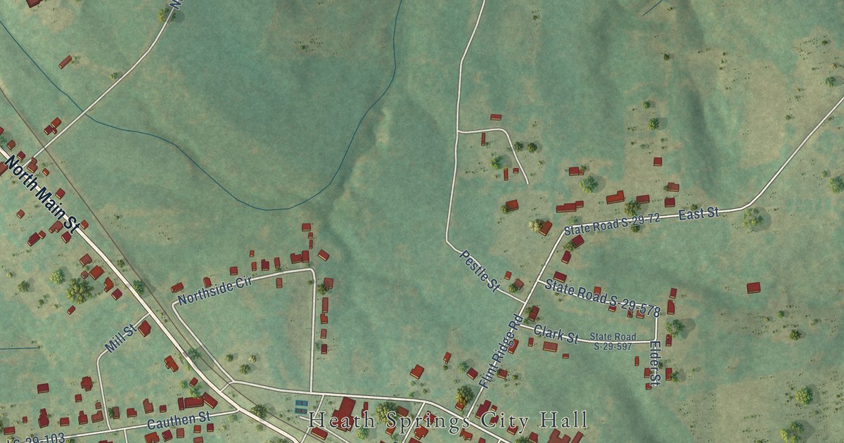
A detailed map of Heath Springs, South Carolina, showing every building in its true location, the roads by name, and shaded topographical relief.
Read More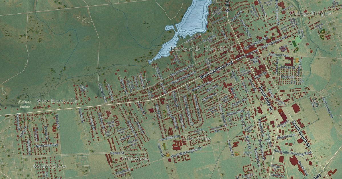
A detailed map of Hartsville, South Carolina, showing every building in its true location, the roads by name, and shaded topographical relief.
Read More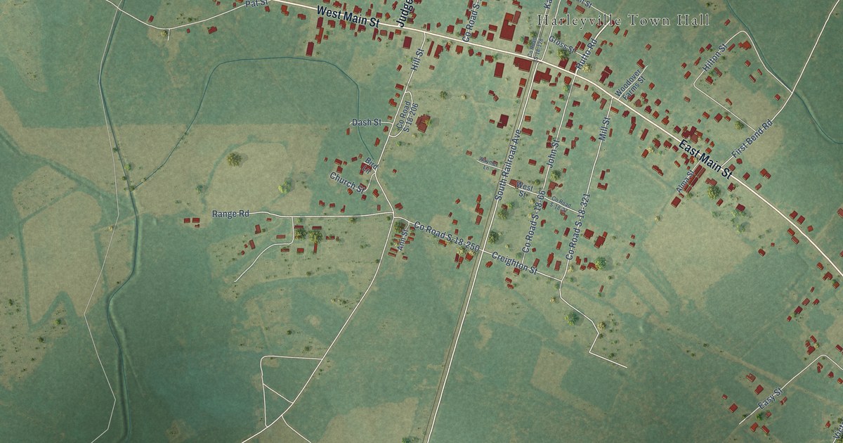
A detailed map of Harleyville, South Carolina, showing every building in its true location, the roads by name, and shaded topographical relief.
Read More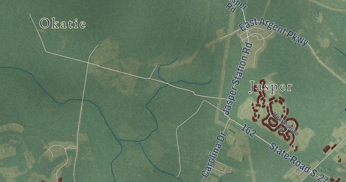
A detailed map of Hardeeville, South Carolina, showing every building in its true location, the roads by name, and shaded topographical relief.
Read More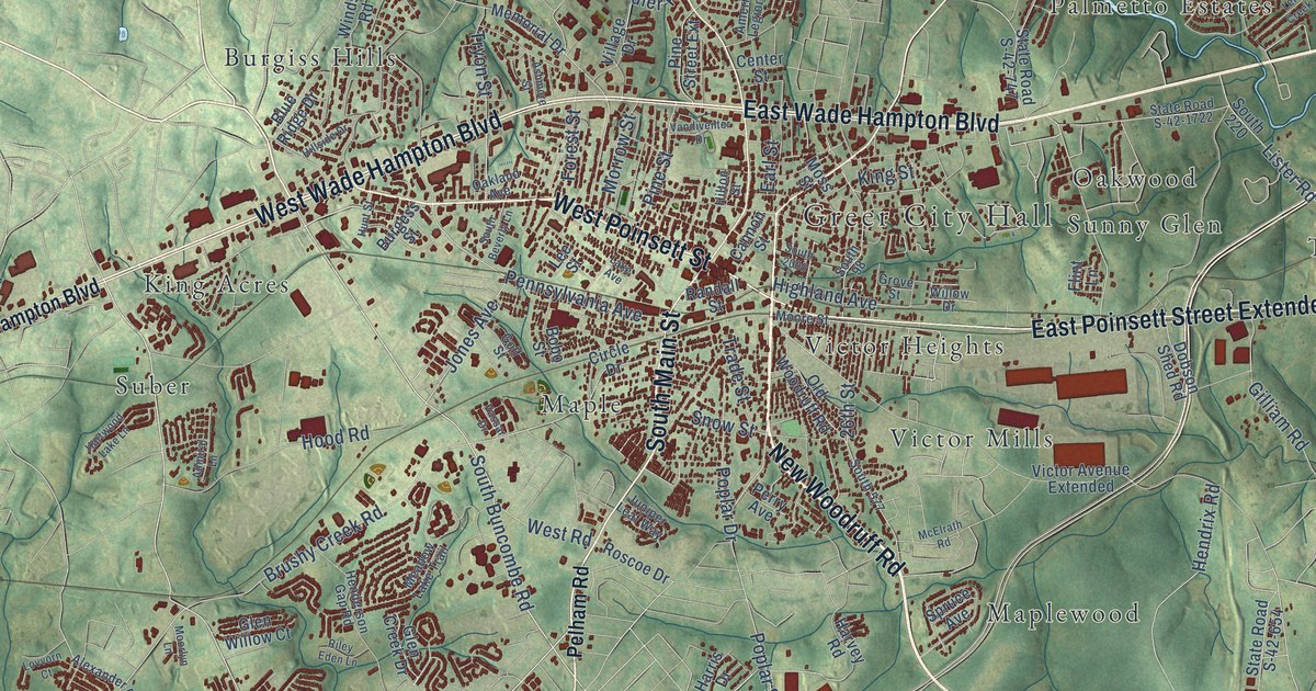
A detailed map of Greer, South Carolina, showing every building in its true location, the roads by name, and shaded topographical relief.
Read More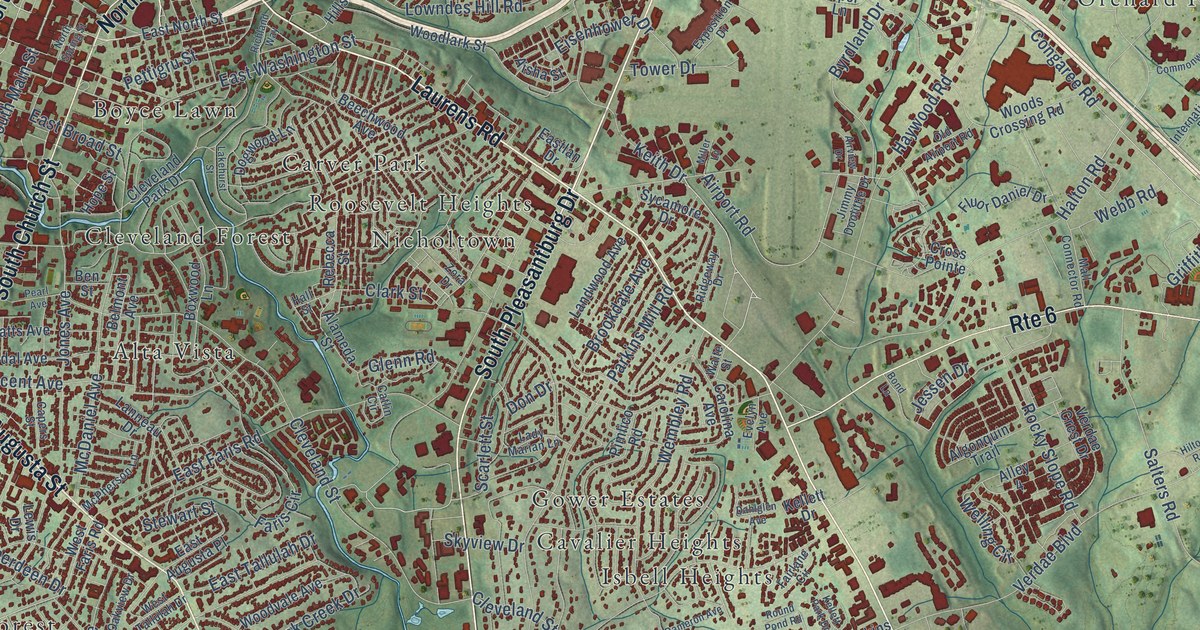
A detailed map of Greenville, South Carolina, showing every building in its true location, the roads by name, and shaded topographical relief.
Read More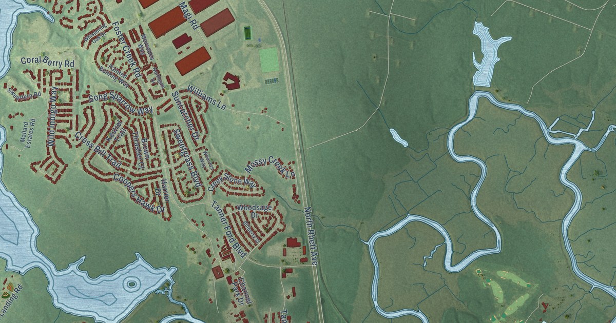
A detailed map of Hanahan, South Carolina, showing every building in its true location, the roads by name, and shaded topographical relief.
Read More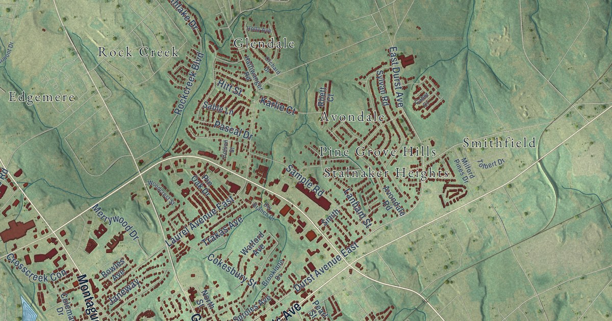
A detailed map of Greenwood, South Carolina, showing every building in its true location, the roads by name, and shaded topographical relief.
Read More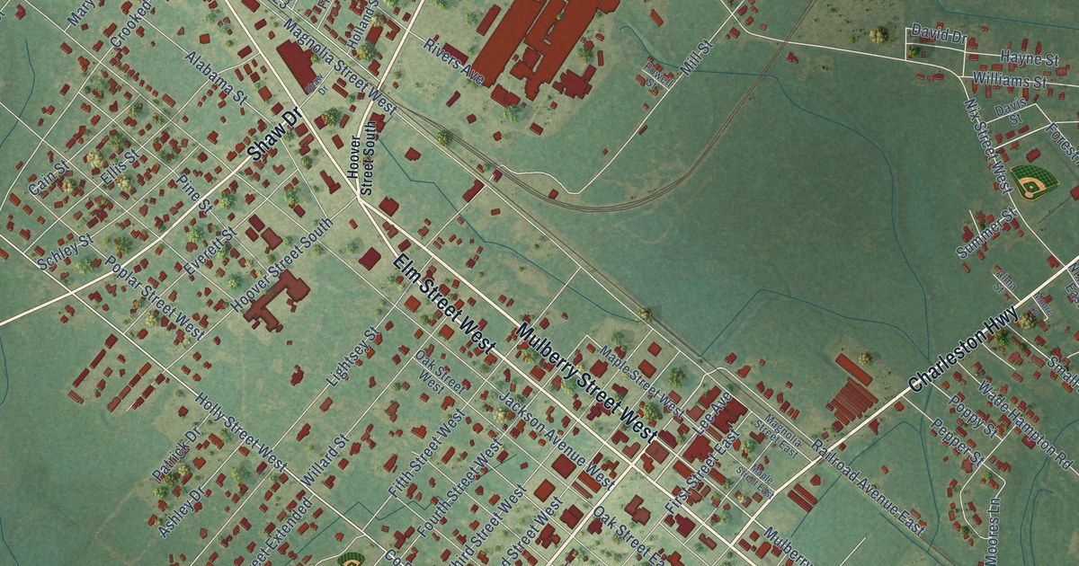
A detailed map of Hampton, South Carolina, showing every building in its true location, the roads by name, and shaded topographical relief.
Read More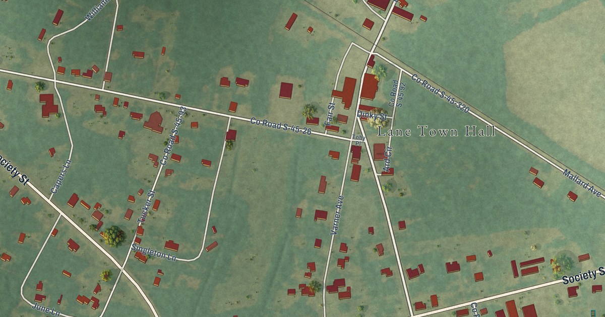
A detailed map of Greeleyville, South Carolina, showing every building in its true location, the roads by name, and shaded topographical relief.
Read More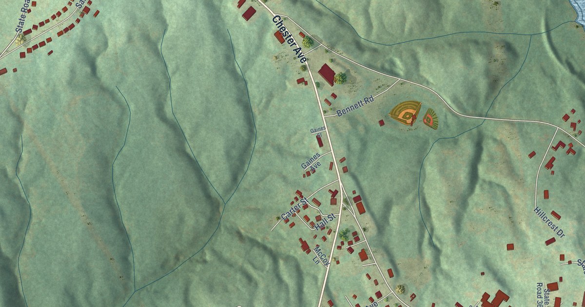
A detailed map of Great Falls, South Carolina, showing every building in its true location, the roads by name, and shaded topographical relief.
Read More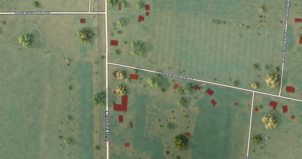
A detailed map of Govan, South Carolina, showing every building in its true location, the roads by name, and shaded topographical relief.
Read More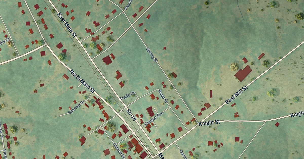
A detailed map of Gray Court, South Carolina, showing every building in its true location, the roads by name, and shaded topographical relief.
Read More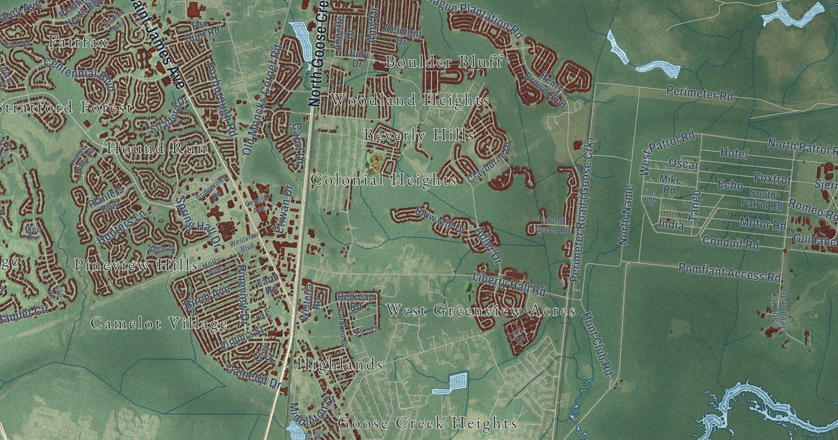
A detailed map of Goose Creek, South Carolina, showing every building in its true location, the roads by name, and shaded topographical relief.
Read More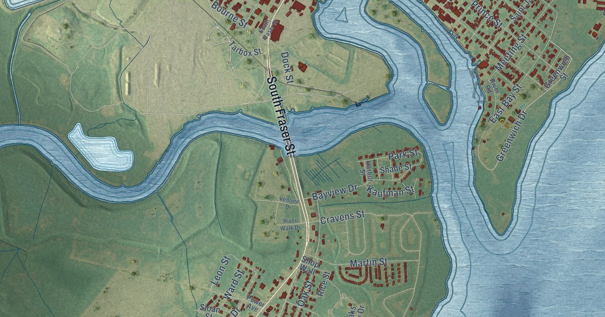
A detailed map of Georgetown, South Carolina, showing every building in its true location, the roads by name, and shaded topographical relief.
Read More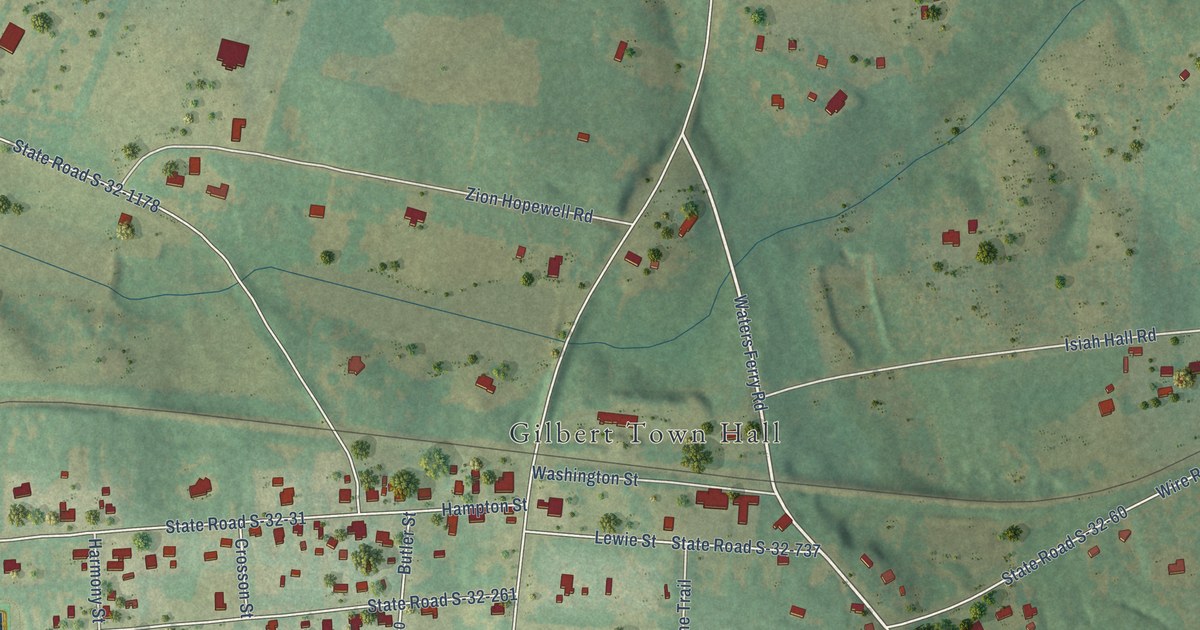
A detailed map of Gilbert, South Carolina, showing every building in its true location, the roads by name, and shaded topographical relief.
Read More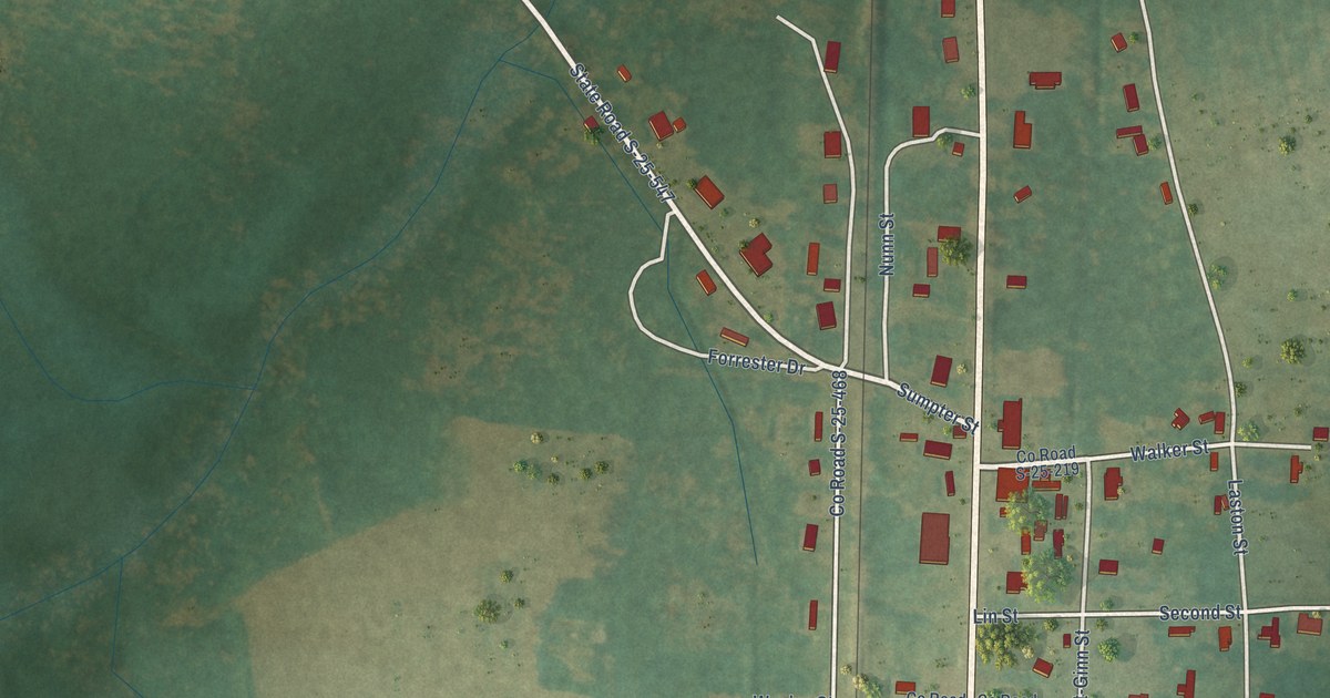
A detailed map of Gifford, South Carolina, showing every building in its true location, the roads by name, and shaded topographical relief.
Read More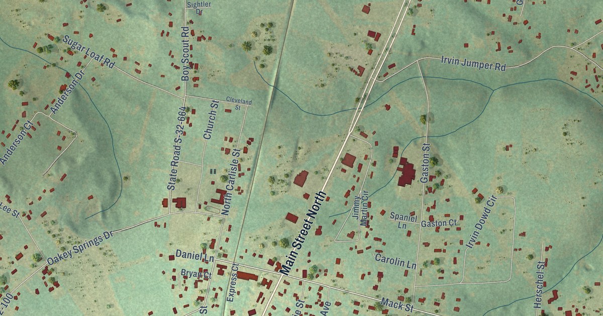
A detailed map of Gaston, South Carolina, showing every building in its true location, the roads by name, and shaded topographical relief.
Read More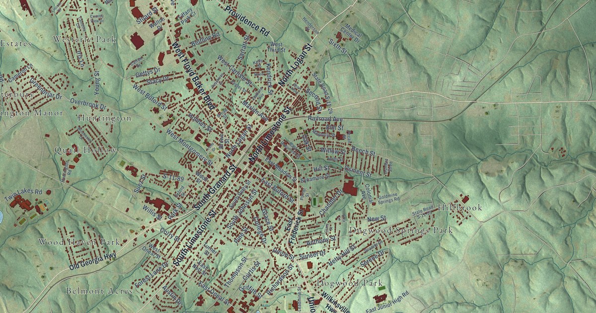
A detailed map of Gaffney, South Carolina, showing every building in its true location, the roads by name, and shaded topographical relief.
Read More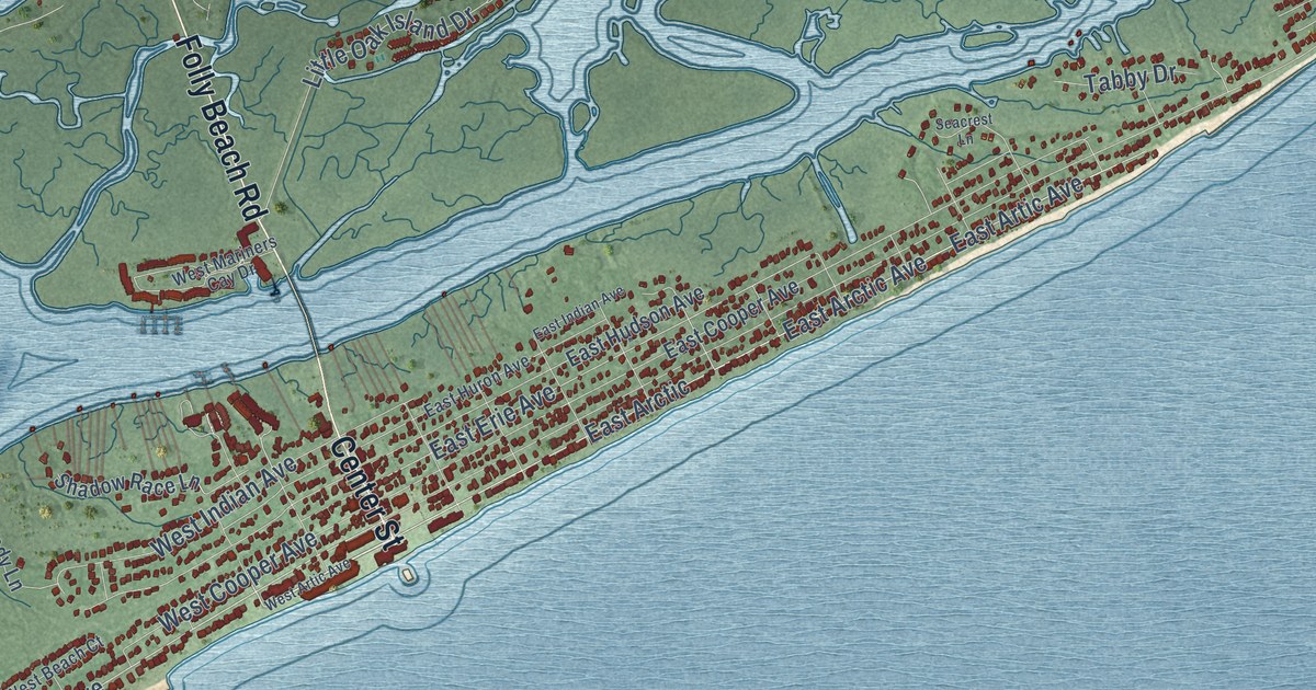
A detailed map of Folly Beach, South Carolina, showing every building in its true location, the roads by name, and shaded topographical relief.
Read More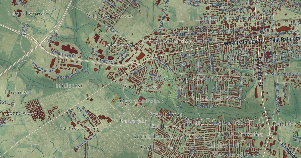
A detailed map of Florence, South Carolina, showing every building in its true location, the roads by name, and shaded topographical relief.
Read More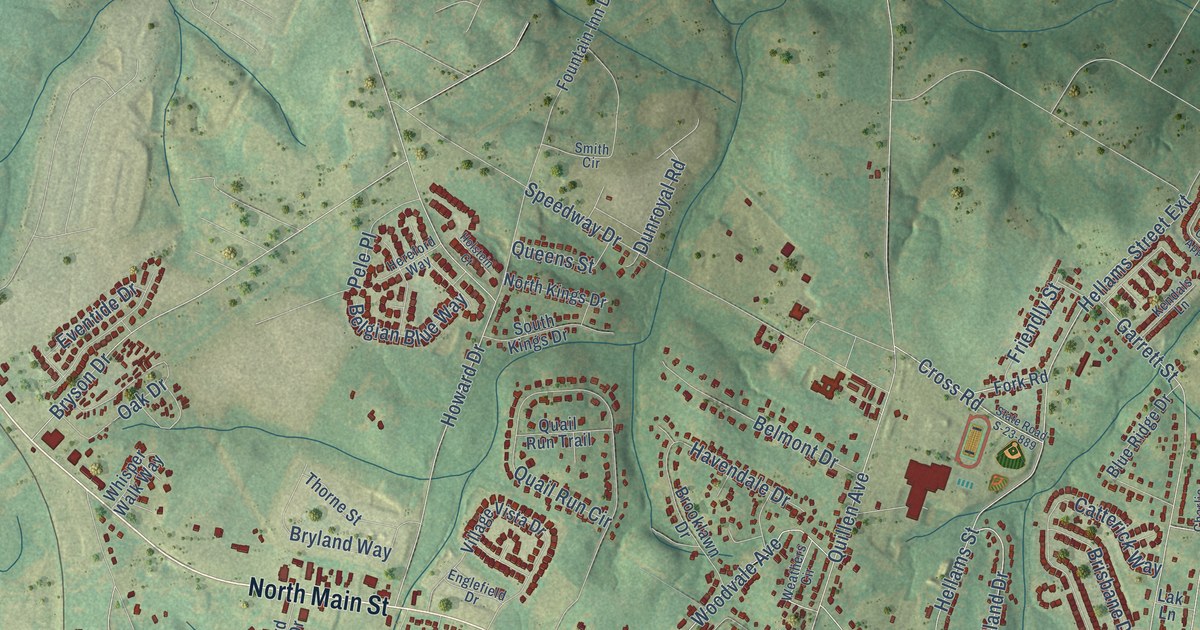
A detailed map of Fountain Inn, South Carolina, showing every building in its true location, the roads by name, and shaded topographical relief.
Read More















