Detailed Map of Olney, Illinois
A detailed map of Olney, Illinois, showing every building in its true location, the roads by name, and shaded topographical relief.
Read More
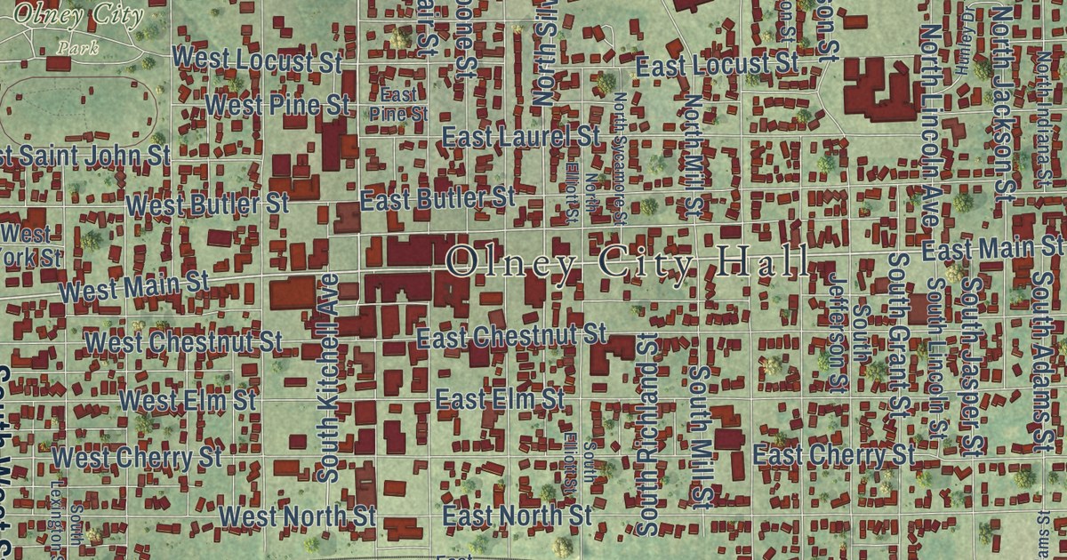
A detailed map of Olney, Illinois, showing every building in its true location, the roads by name, and shaded topographical relief.
Read More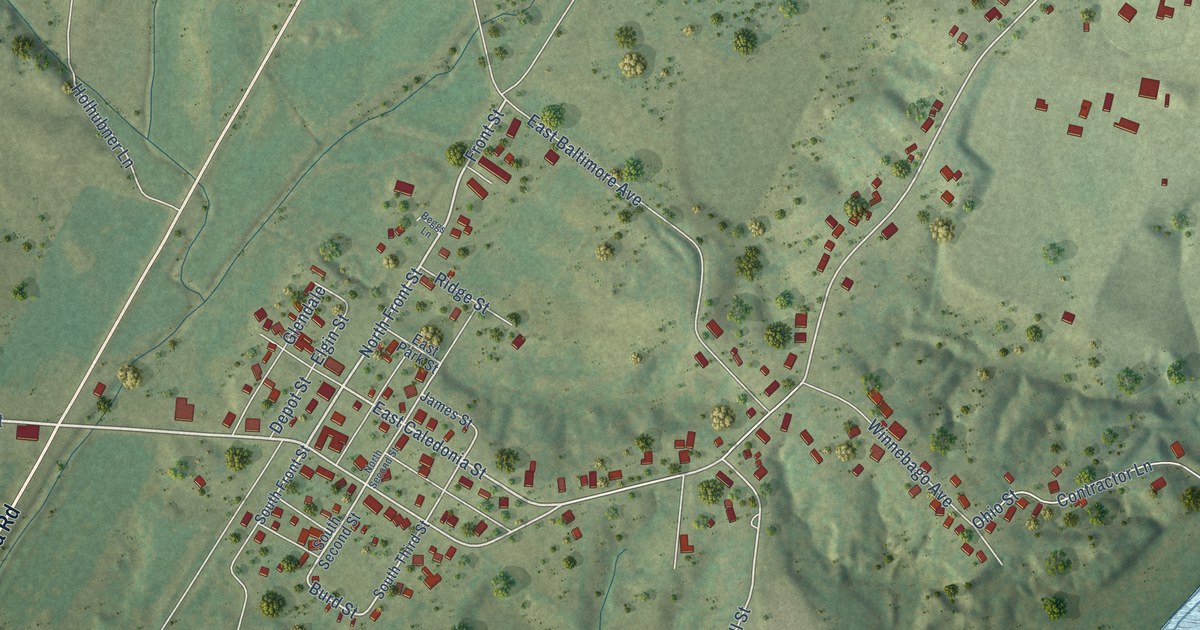
A detailed map of Olmsted, Illinois, showing every building in its true location, the roads by name, and shaded topographical relief.
Read More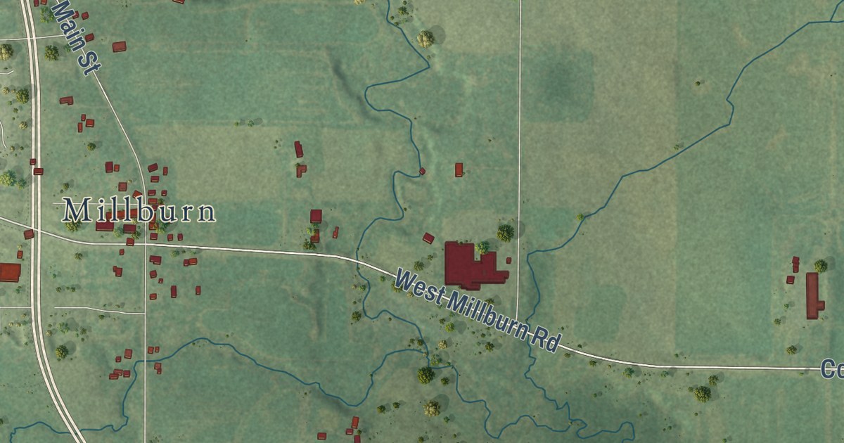
A detailed map of Old Mill Creek, Illinois, showing every building in its true location, the roads by name, and shaded topographical relief.
Read More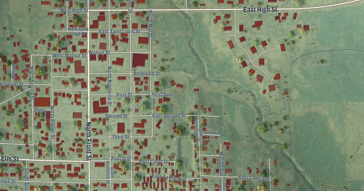
A detailed map of Okawville, Illinois, showing every building in its true location, the roads by name, and shaded topographical relief.
Read More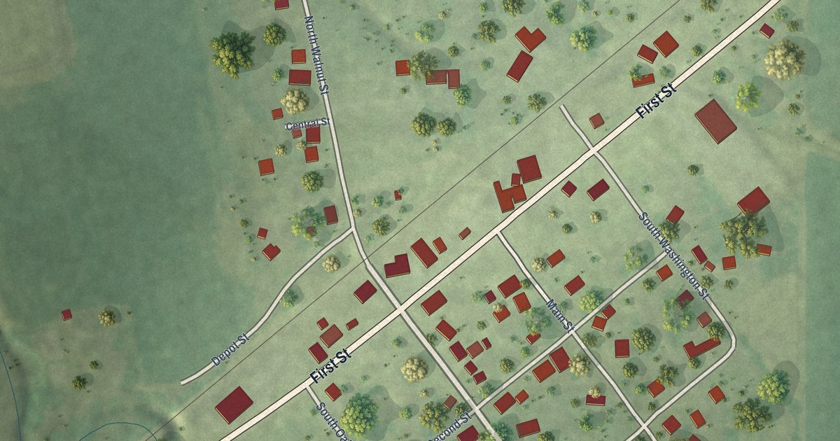
A detailed map of Ohlman, Illinois, showing every building in its true location, the roads by name, and shaded topographical relief.
Read More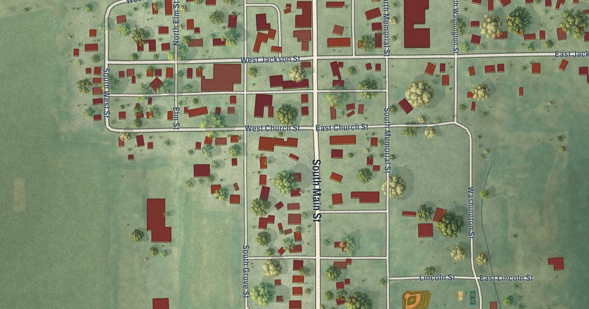
A detailed map of Ohio, Illinois, showing every building in its true location, the roads by name, and shaded topographical relief.
Read More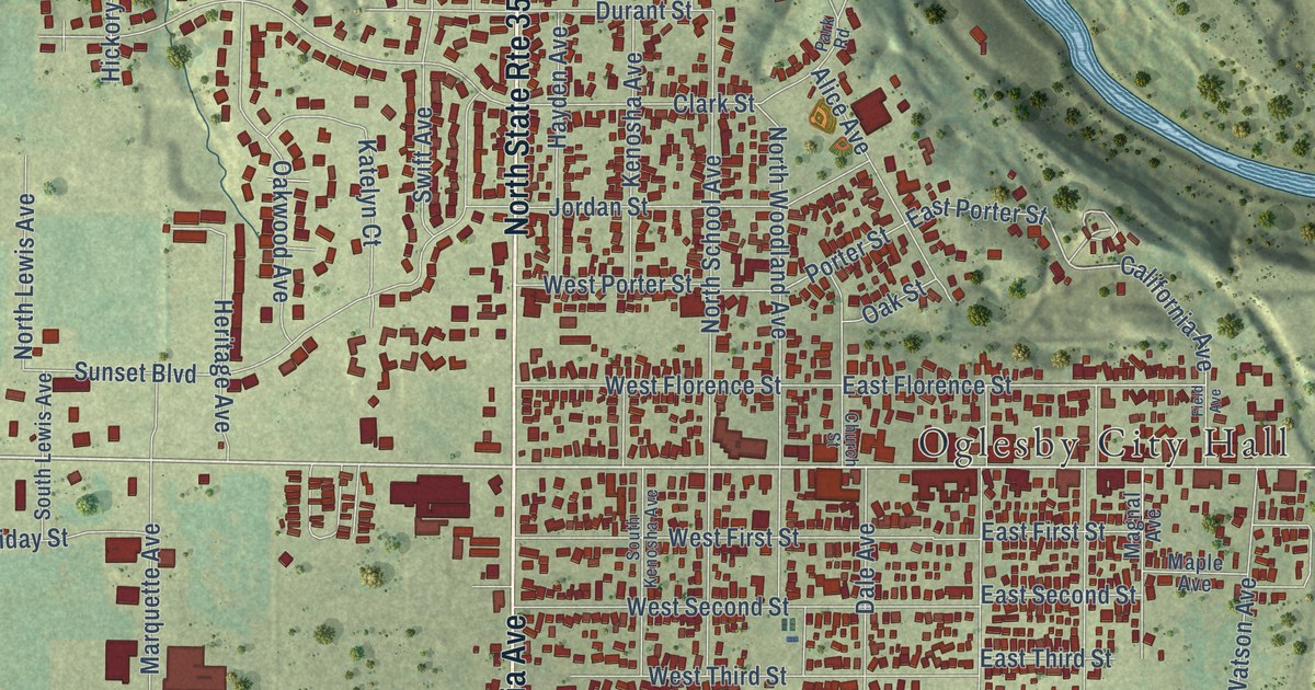
A detailed map of Oglesby, Illinois, showing every building in its true location, the roads by name, and shaded topographical relief.
Read More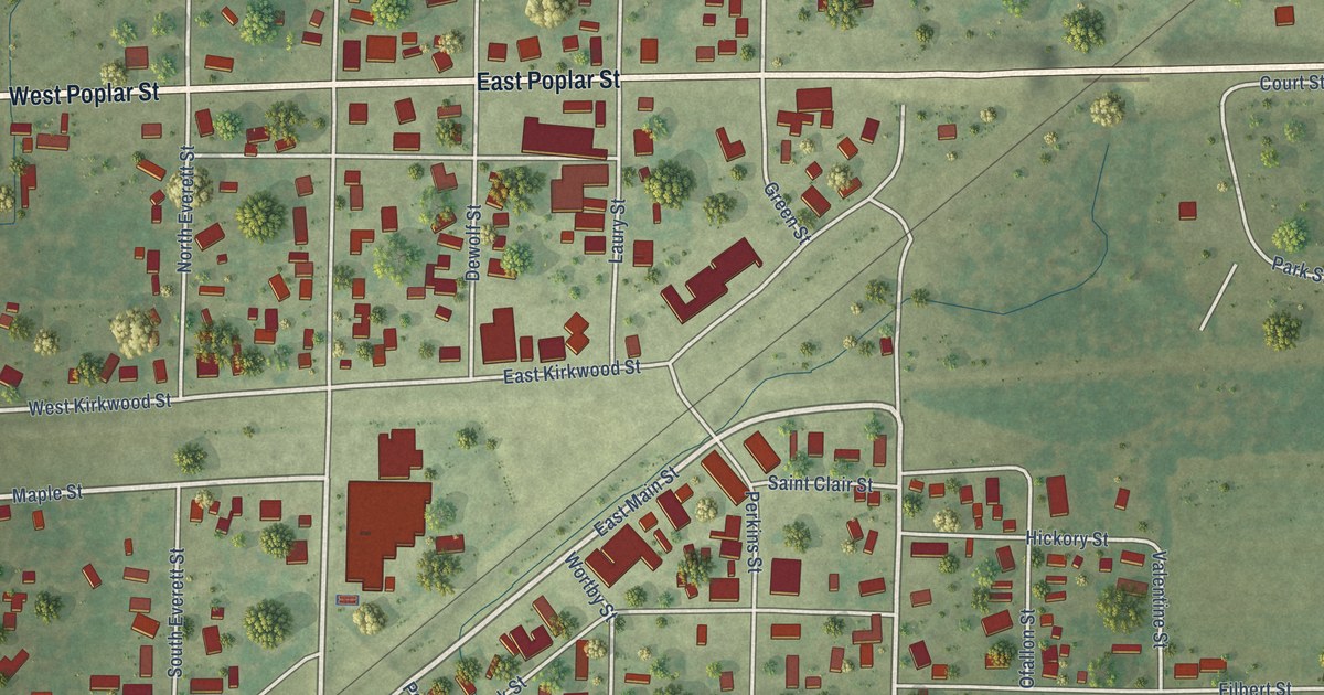
A detailed map of Odin, Illinois, showing every building in its true location, the roads by name, and shaded topographical relief.
Read More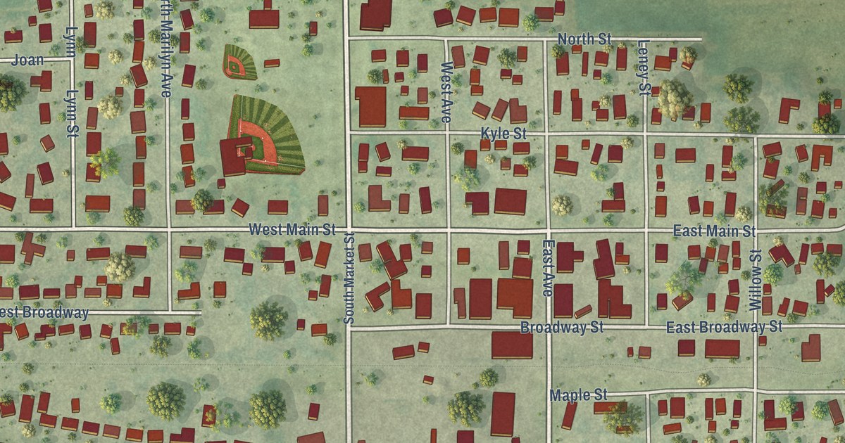
A detailed map of Ogden, Illinois, showing every building in its true location, the roads by name, and shaded topographical relief.
Read More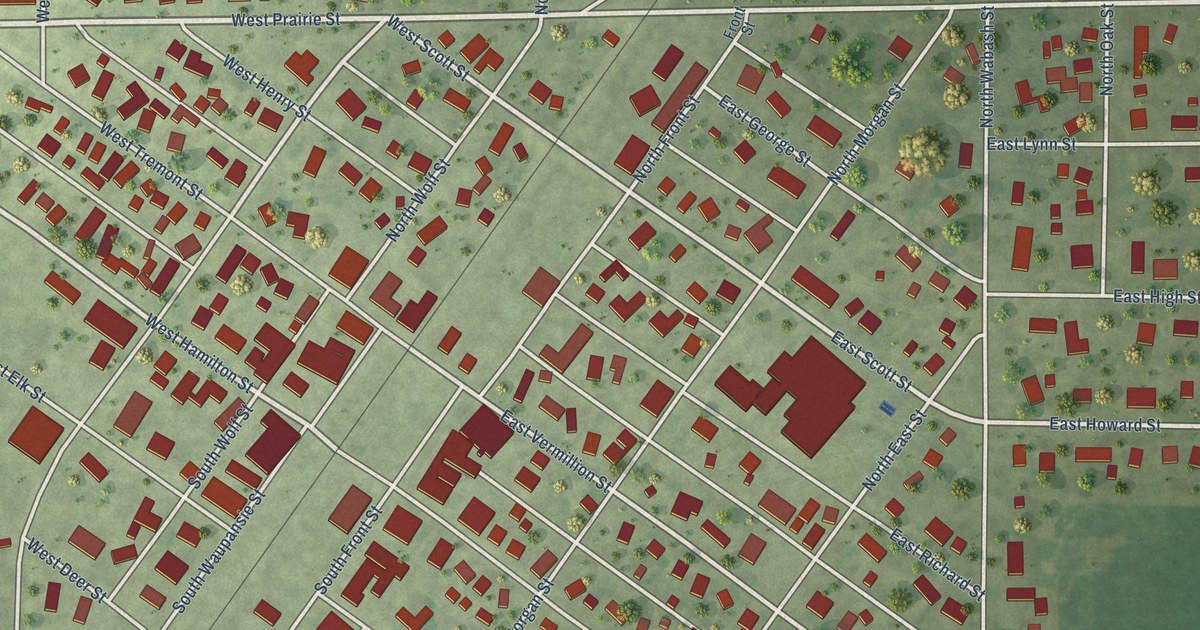
A detailed map of Odell, Illinois, showing every building in its true location, the roads by name, and shaded topographical relief.
Read More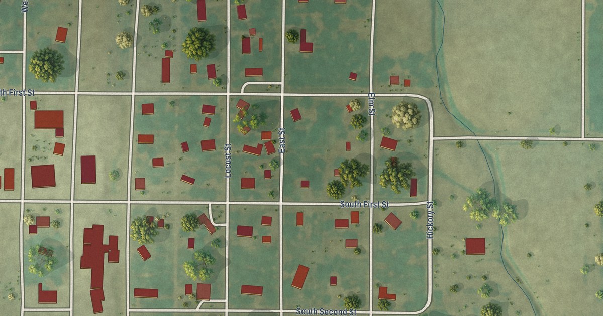
A detailed map of Oconee, Illinois, showing every building in its true location, the roads by name, and shaded topographical relief.
Read More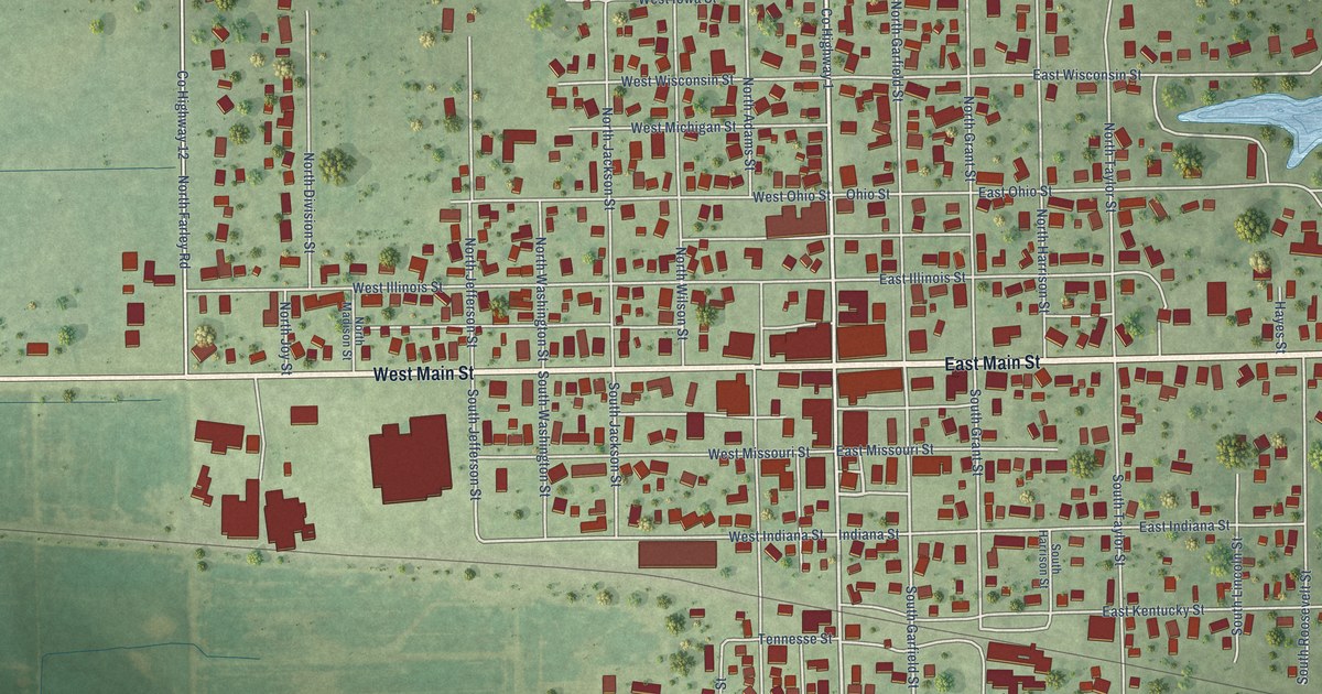
A detailed map of Oblong, Illinois, showing every building in its true location, the roads by name, and shaded topographical relief.
Read More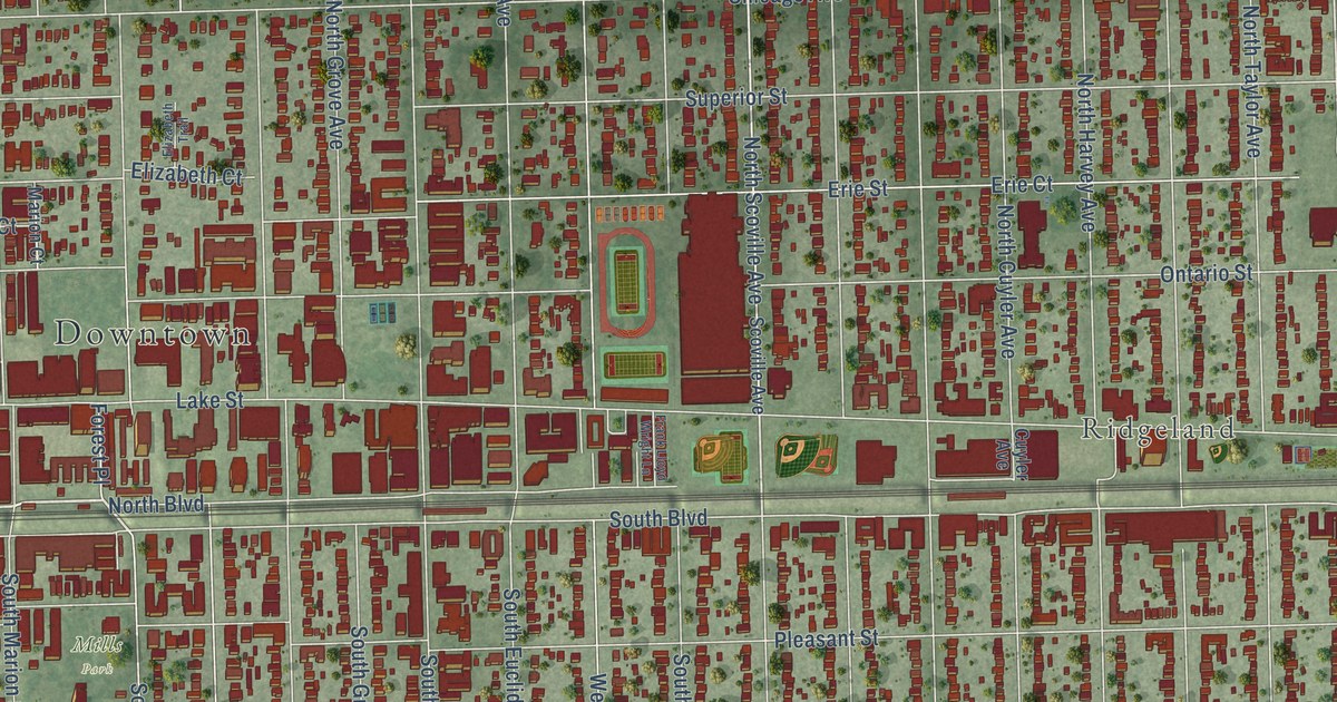
A detailed map of Oak Park, Illinois, showing every building in its true location, the roads by name, and shaded topographical relief.
Read More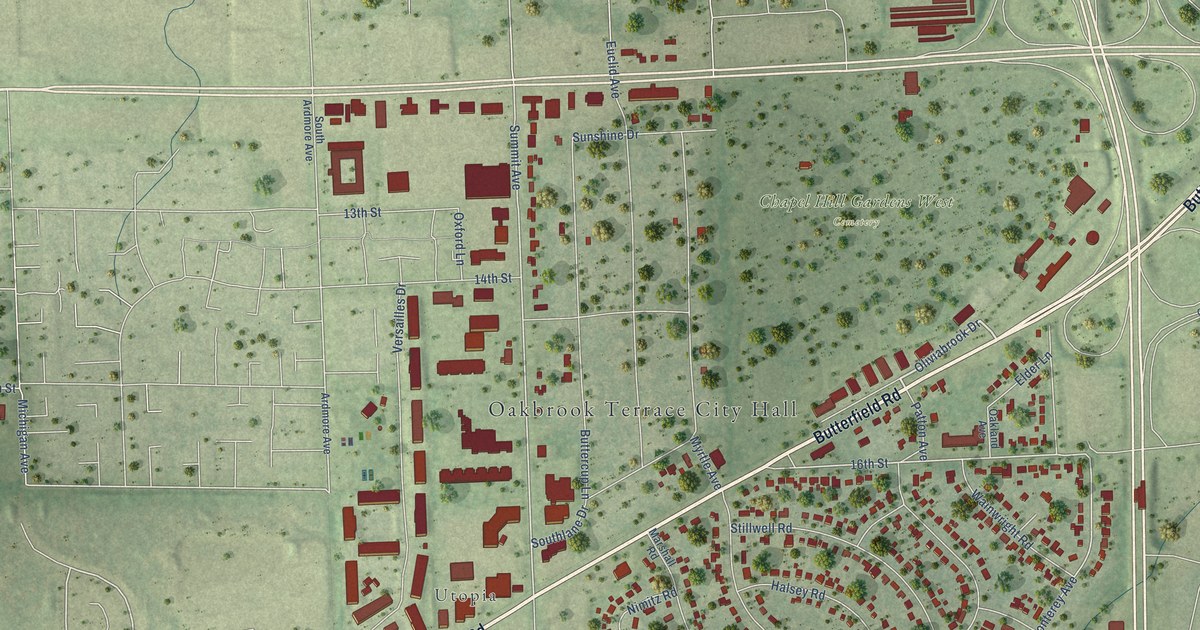
A detailed map of Oakbrook Terrace, Illinois, showing every building in its true location, the roads by name, and shaded topographical relief.
Read More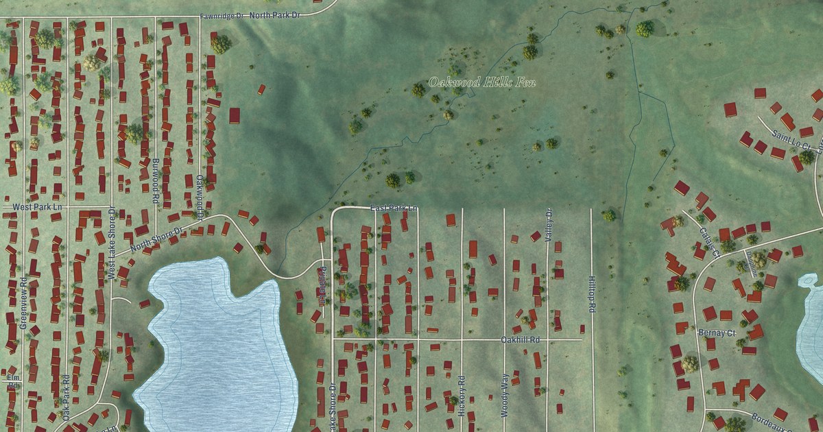
A detailed map of Oakwood Hills, Illinois, showing every building in its true location, the roads by name, and shaded topographical relief.
Read More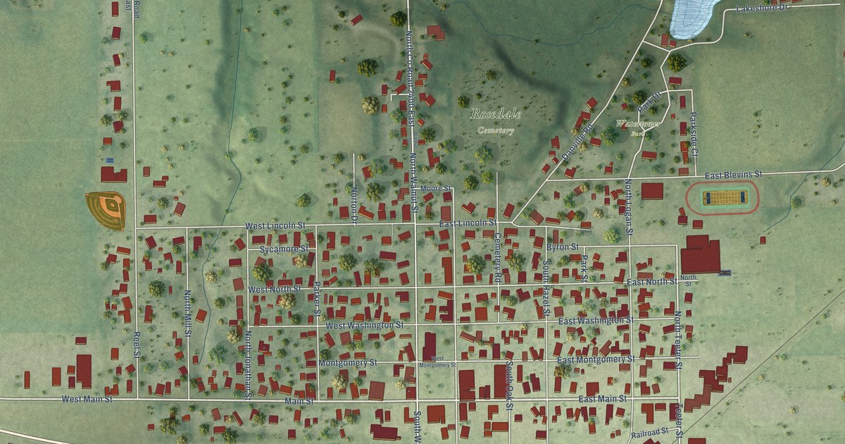
A detailed map of Oakland, Illinois, showing every building in its true location, the roads by name, and shaded topographical relief.
Read More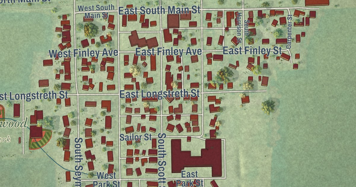
A detailed map of Oakwood, Illinois, showing every building in its true location, the roads by name, and shaded topographical relief.
Read More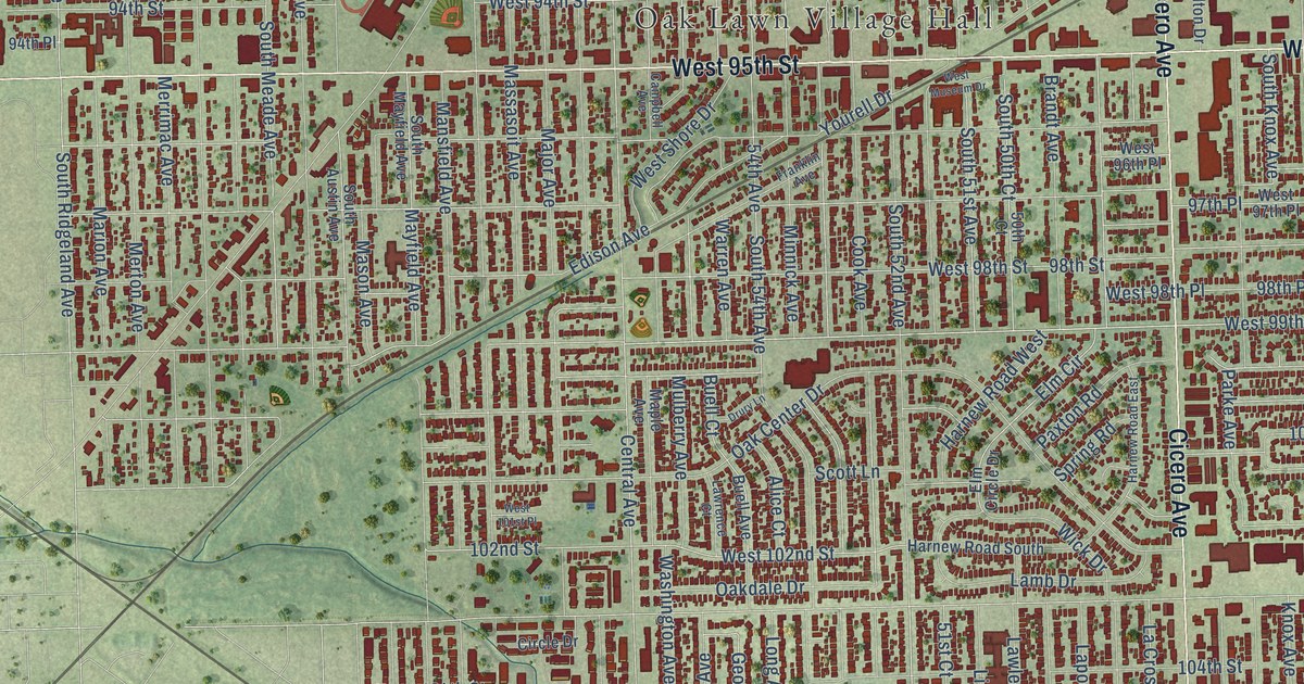
A detailed map of Oak Lawn, Illinois, showing every building in its true location, the roads by name, and shaded topographical relief.
Read More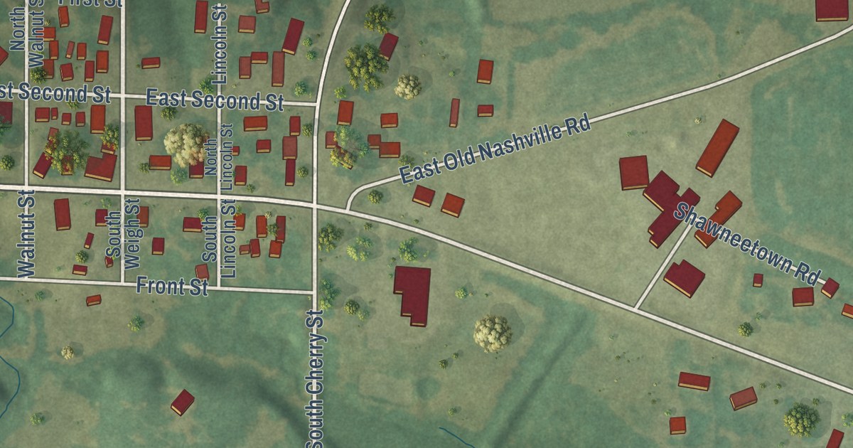
A detailed map of Oakdale, Illinois, showing every building in its true location, the roads by name, and shaded topographical relief.
Read More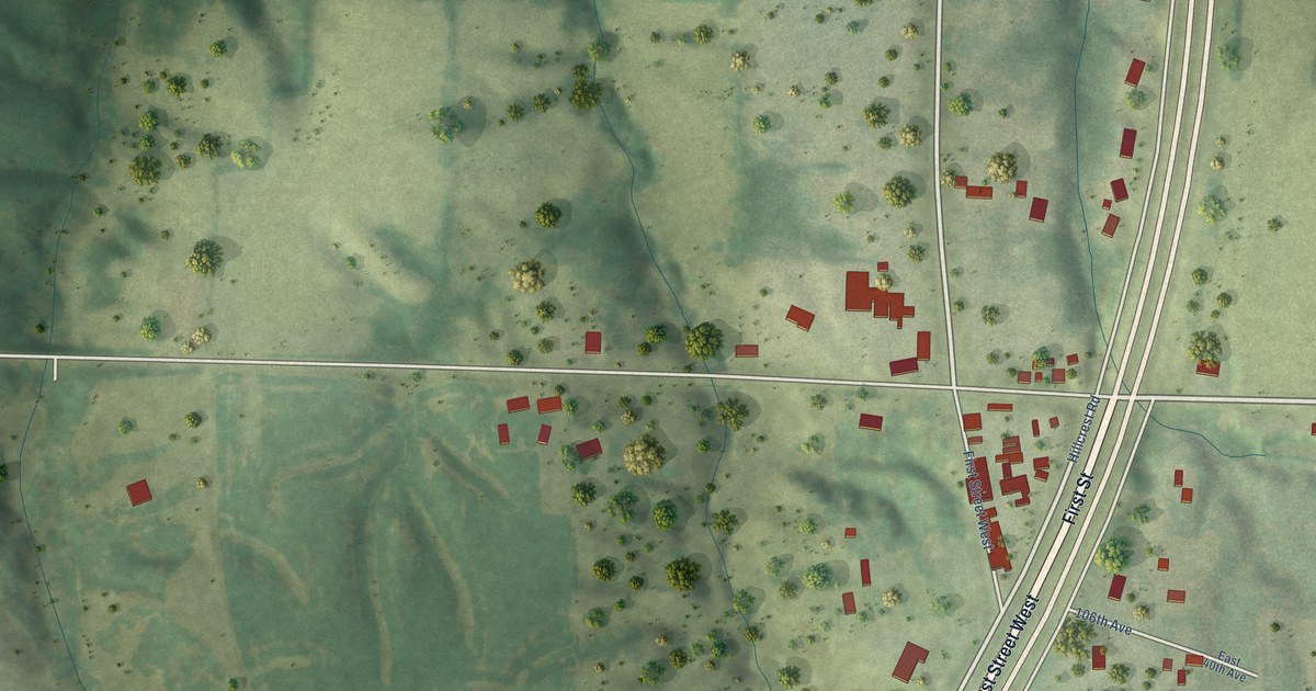
A detailed map of Oak Grove, Illinois, showing every building in its true location, the roads by name, and shaded topographical relief.
Read More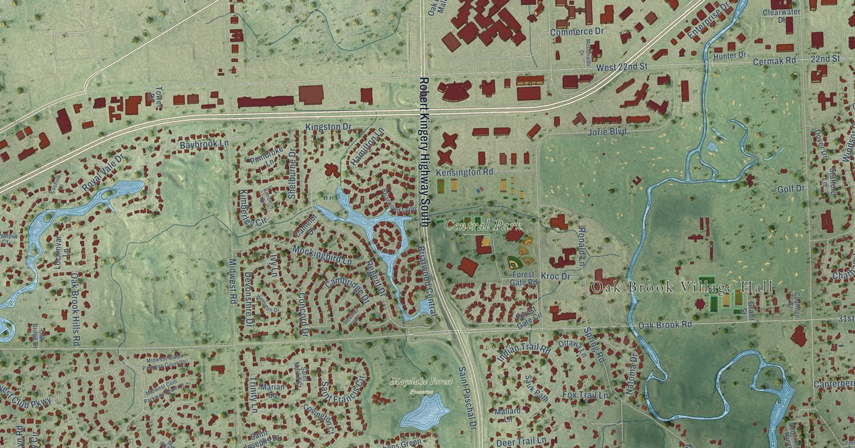
A detailed map of Oak Brook, Illinois, showing every building in its true location, the roads by name, and shaded topographical relief.
Read More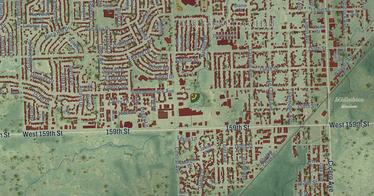
A detailed map of Oak Forest, Illinois, showing every building in its true location, the roads by name, and shaded topographical relief.
Read More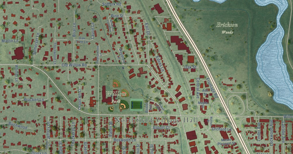
A detailed map of Northfield, Illinois, showing every building in its true location, the roads by name, and shaded topographical relief.
Read More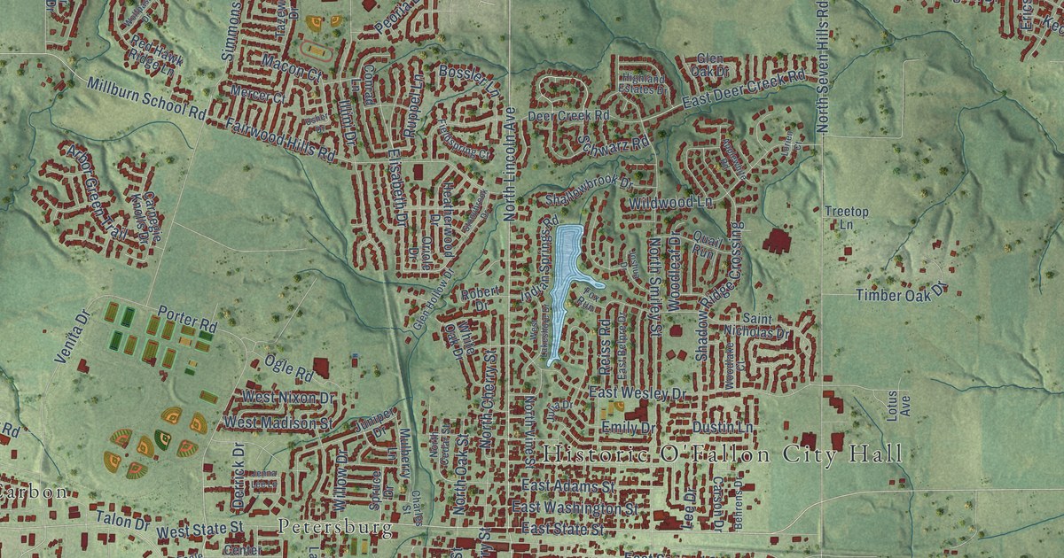
A detailed map of O’Fallon, Illinois, showing every building in its true location, the roads by name, and shaded topographical relief.
Read More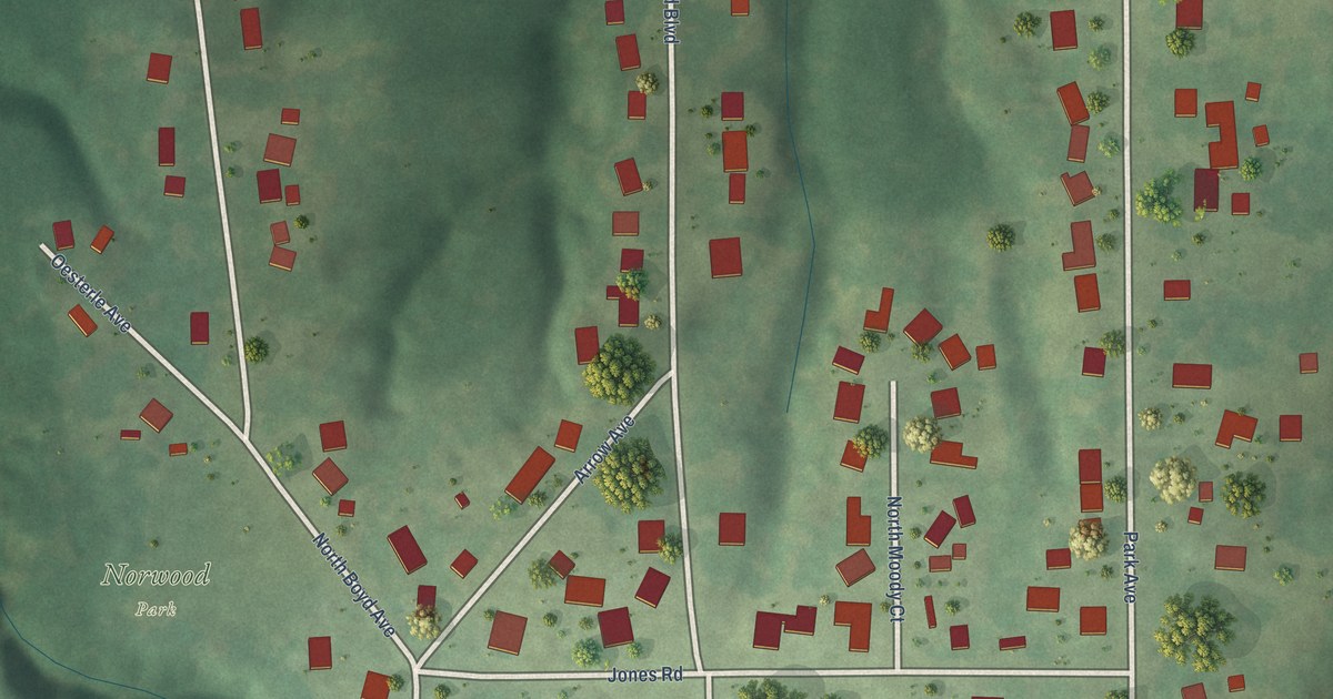
A detailed map of Norwood, Illinois, showing every building in its true location, the roads by name, and shaded topographical relief.
Read More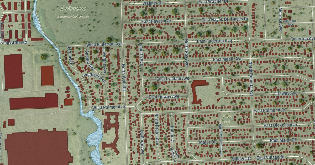
A detailed map of Northlake, Illinois, showing every building in its true location, the roads by name, and shaded topographical relief.
Read More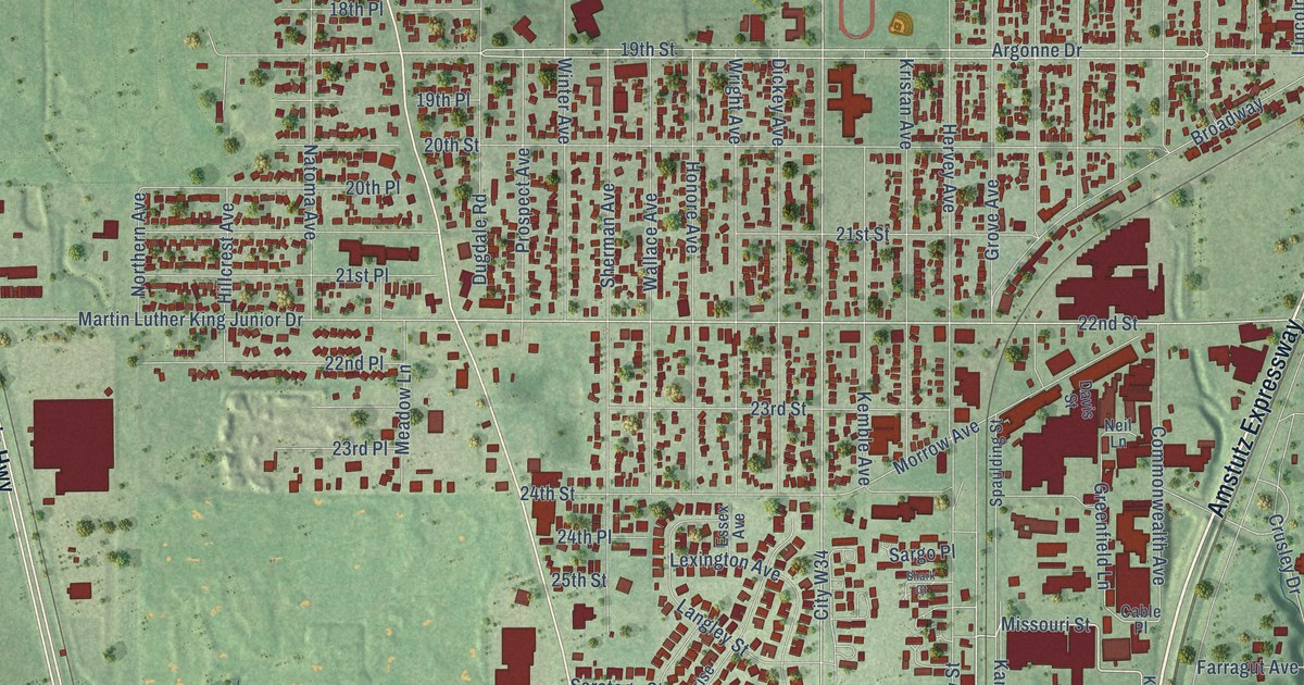
A detailed map of North Chicago, Illinois, showing every building in its true location, the roads by name, and shaded topographical relief.
Read More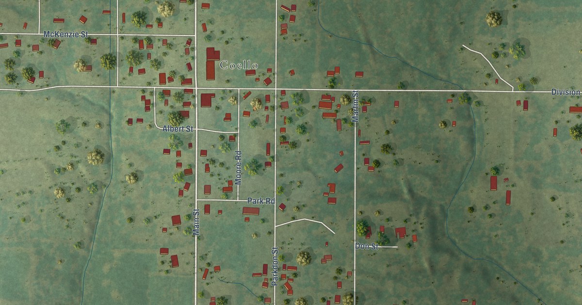
A detailed map of North City, Illinois, showing every building in its true location, the roads by name, and shaded topographical relief.
Read More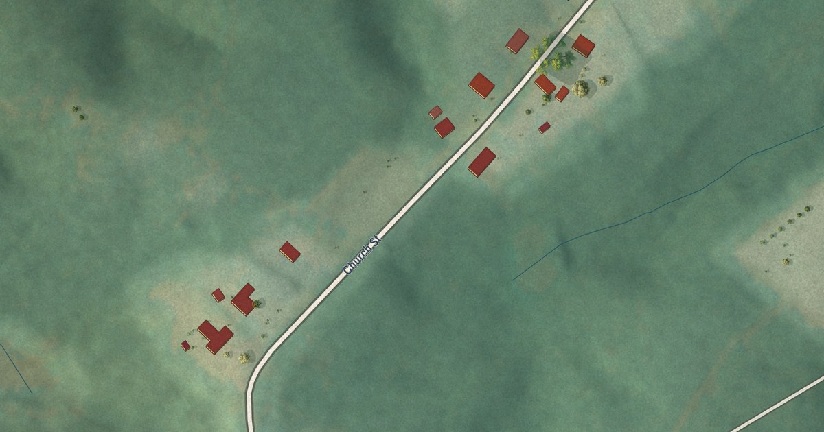
A detailed map of Peak, South Carolina, showing every building in its true location, the roads by name, and shaded topographical relief.
Read More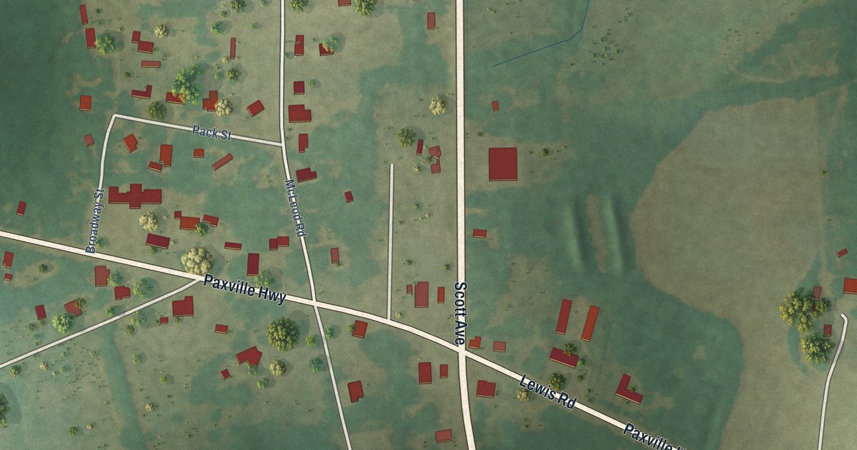
A detailed map of Paxville, South Carolina, showing every building in its true location, the roads by name, and shaded topographical relief.
Read More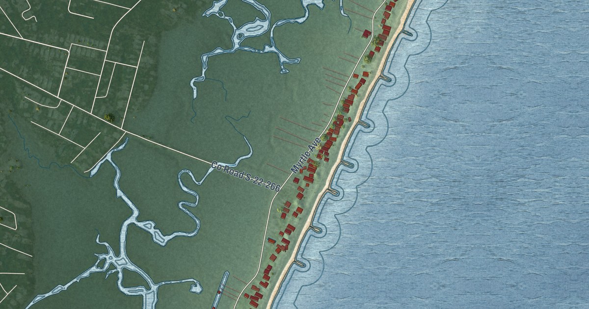
A detailed map of Pawleys Island, South Carolina, showing every building in its true location, the roads by name, and shaded topographical relief.
Read More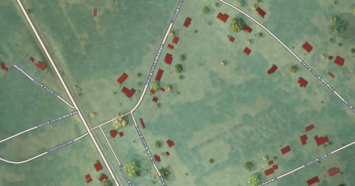
A detailed map of Parksville, South Carolina, showing every building in its true location, the roads by name, and shaded topographical relief.
Read More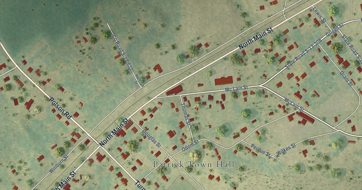
A detailed map of Patrick, South Carolina, showing every building in its true location, the roads by name, and shaded topographical relief.
Read More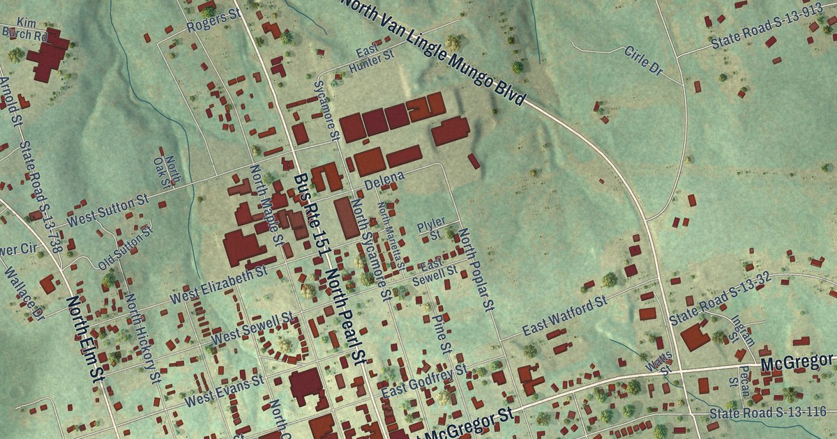
A detailed map of Pageland, South Carolina, showing every building in its true location, the roads by name, and shaded topographical relief.
Read More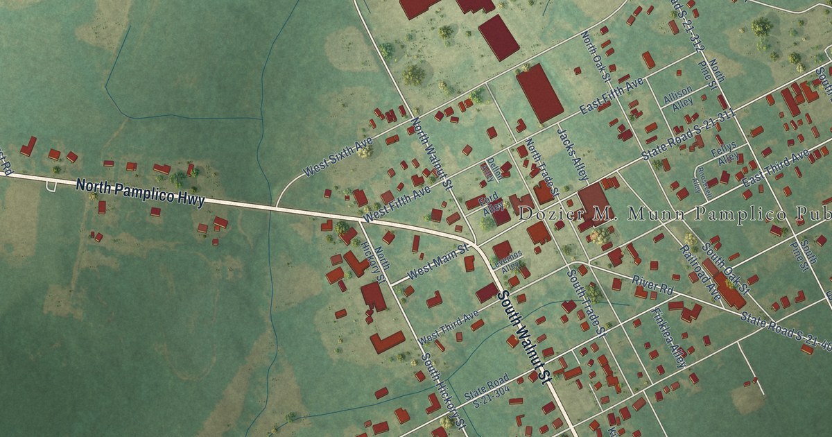
A detailed map of Pamplico, South Carolina, showing every building in its true location, the roads by name, and shaded topographical relief.
Read More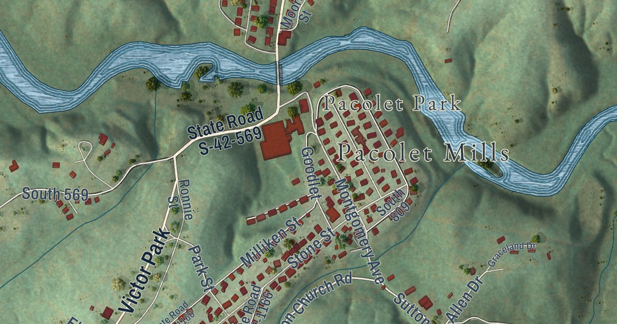
A detailed map of Pacolet, South Carolina, showing every building in its true location, the roads by name, and shaded topographical relief.
Read More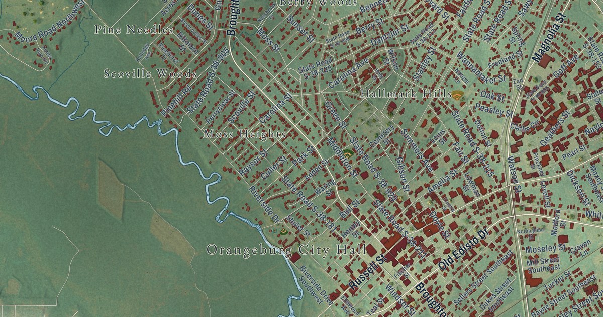
A detailed map of Orangeburg, South Carolina, showing every building in its true location, the roads by name, and shaded topographical relief.
Read More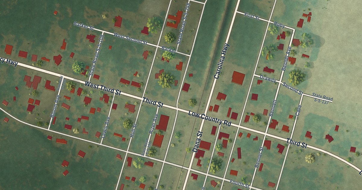
A detailed map of Olar, South Carolina, showing every building in its true location, the roads by name, and shaded topographical relief.
Read More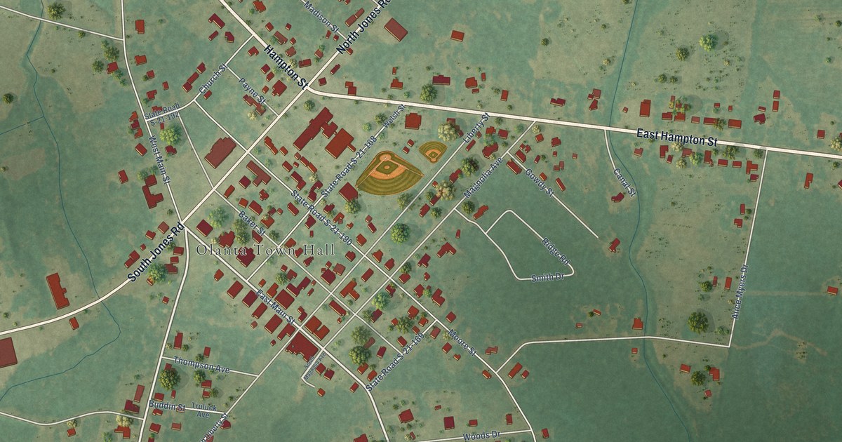
A detailed map of Olanta, South Carolina, showing every building in its true location, the roads by name, and shaded topographical relief.
Read More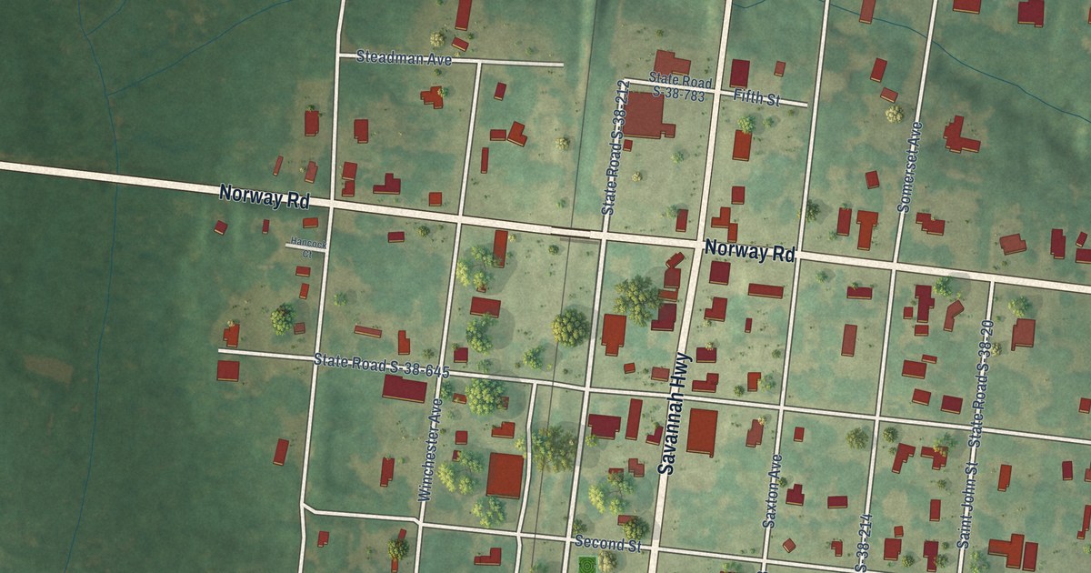
A detailed map of Norway, South Carolina, showing every building in its true location, the roads by name, and shaded topographical relief.
Read More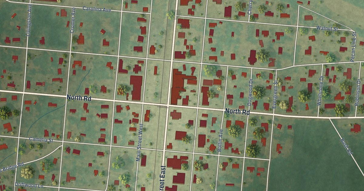
A detailed map of North, South Carolina, showing every building in its true location, the roads by name, and shaded topographical relief.
Read More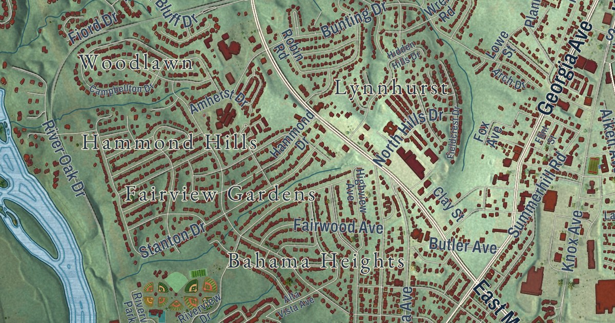
A detailed map of North Augusta, South Carolina, showing every building in its true location, the roads by name, and shaded topographical relief.
Read More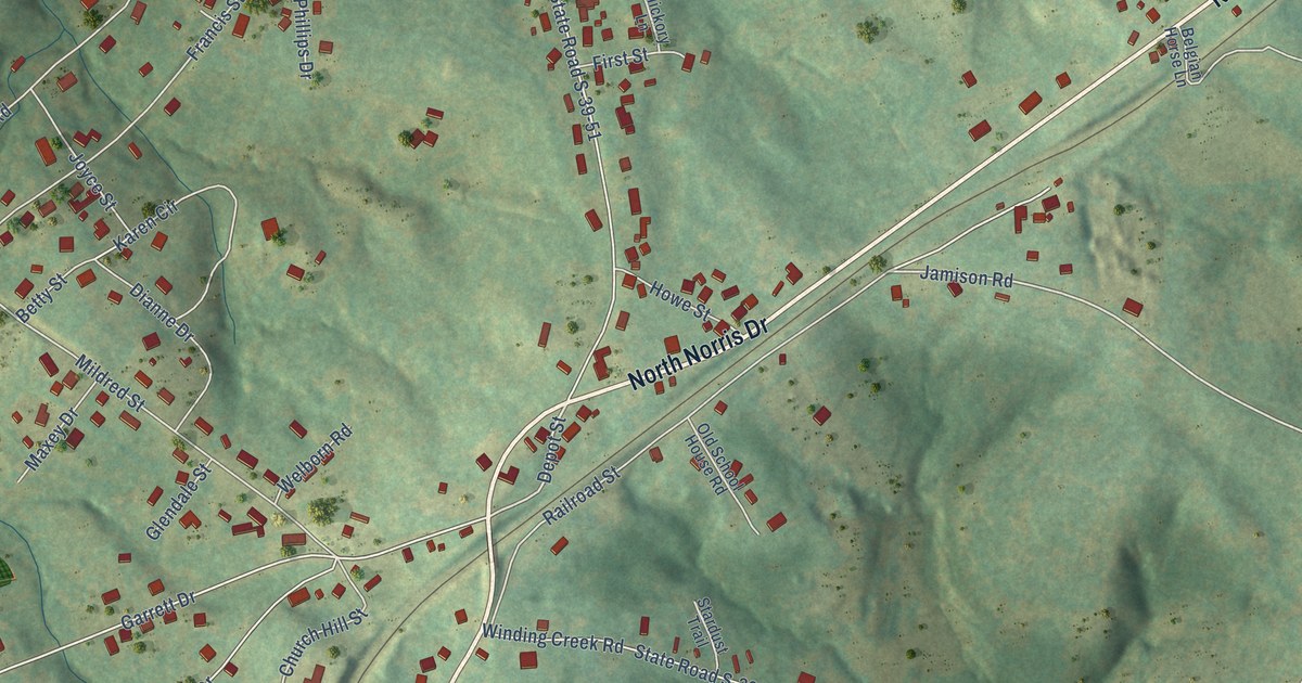
A detailed map of Norris, South Carolina, showing every building in its true location, the roads by name, and shaded topographical relief.
Read More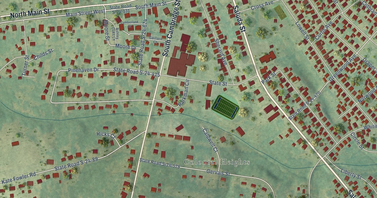
A detailed map of Ninety Six, South Carolina, showing every building in its true location, the roads by name, and shaded topographical relief.
Read More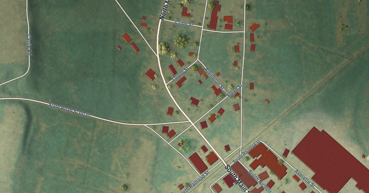
A detailed map of Nichols, South Carolina, showing every building in its true location, the roads by name, and shaded topographical relief.
Read More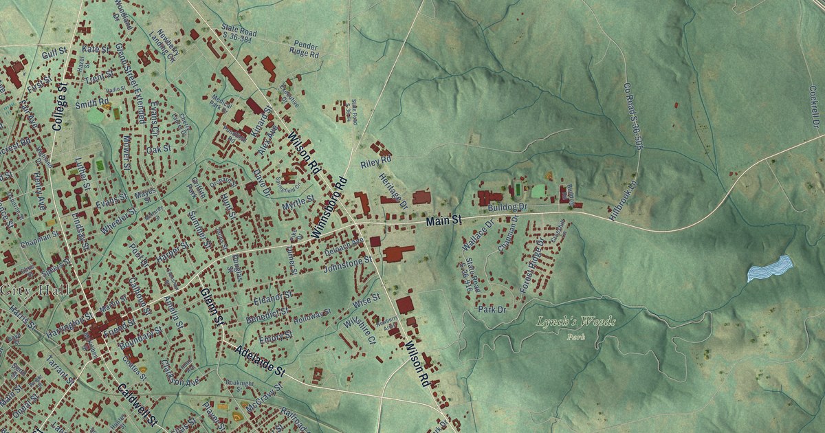
A detailed map of Newberry, South Carolina, showing every building in its true location, the roads by name, and shaded topographical relief.
Read More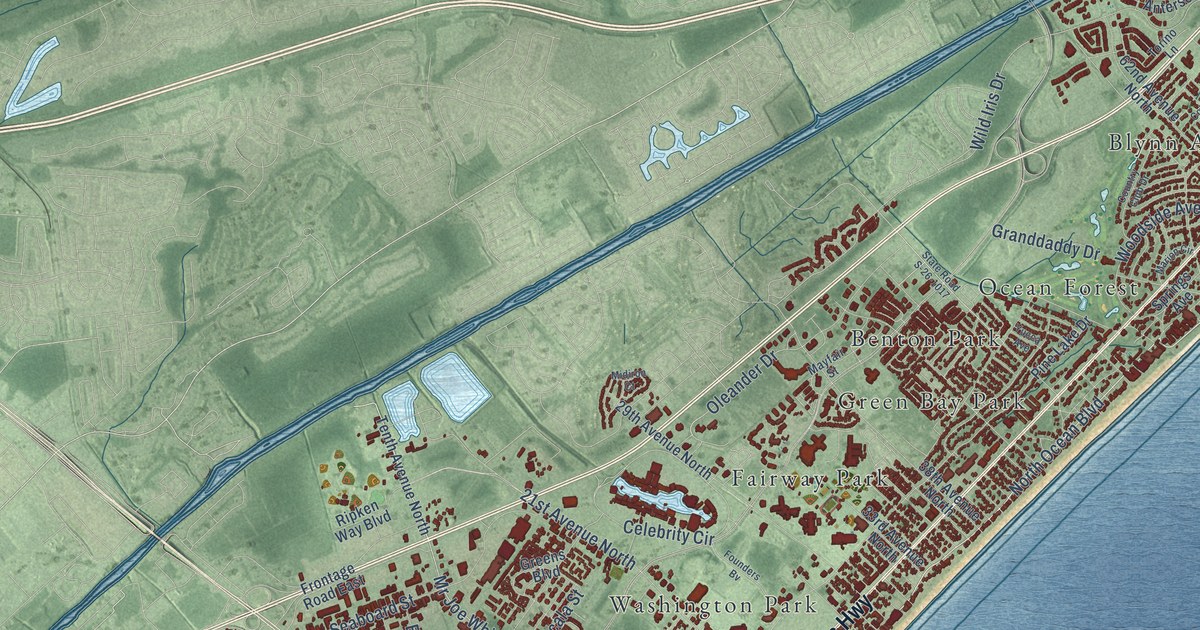
A detailed map of Myrtle Beach, South Carolina, showing every building in its true location, the roads by name, and shaded topographical relief.
Read More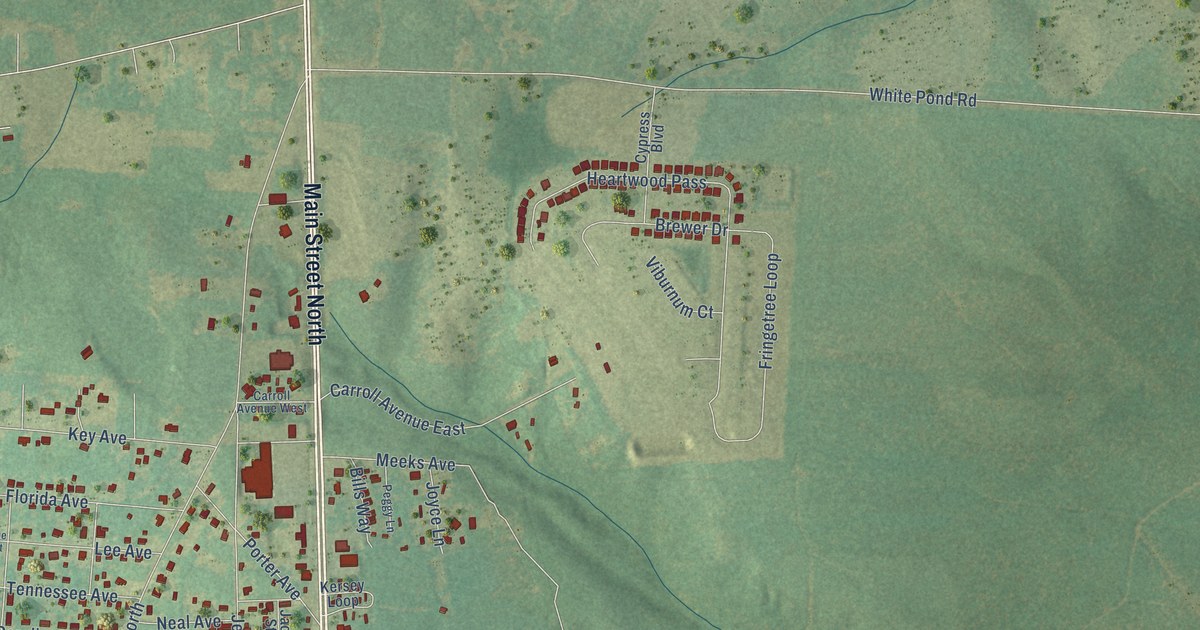
A detailed map of New Ellenton, South Carolina, showing every building in its true location, the roads by name, and shaded topographical relief.
Read More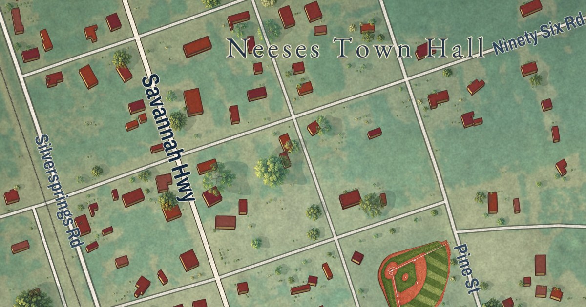
A detailed map of Neeses, South Carolina, showing every building in its true location, the roads by name, and shaded topographical relief.
Read More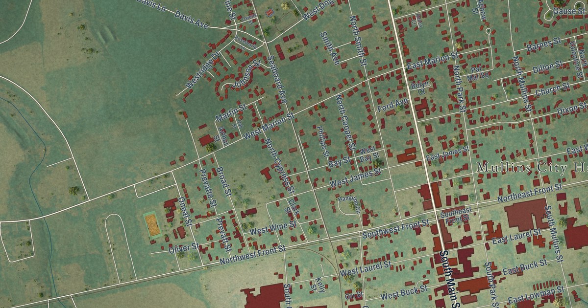
A detailed map of Mullins, South Carolina, showing every building in its true location, the roads by name, and shaded topographical relief.
Read More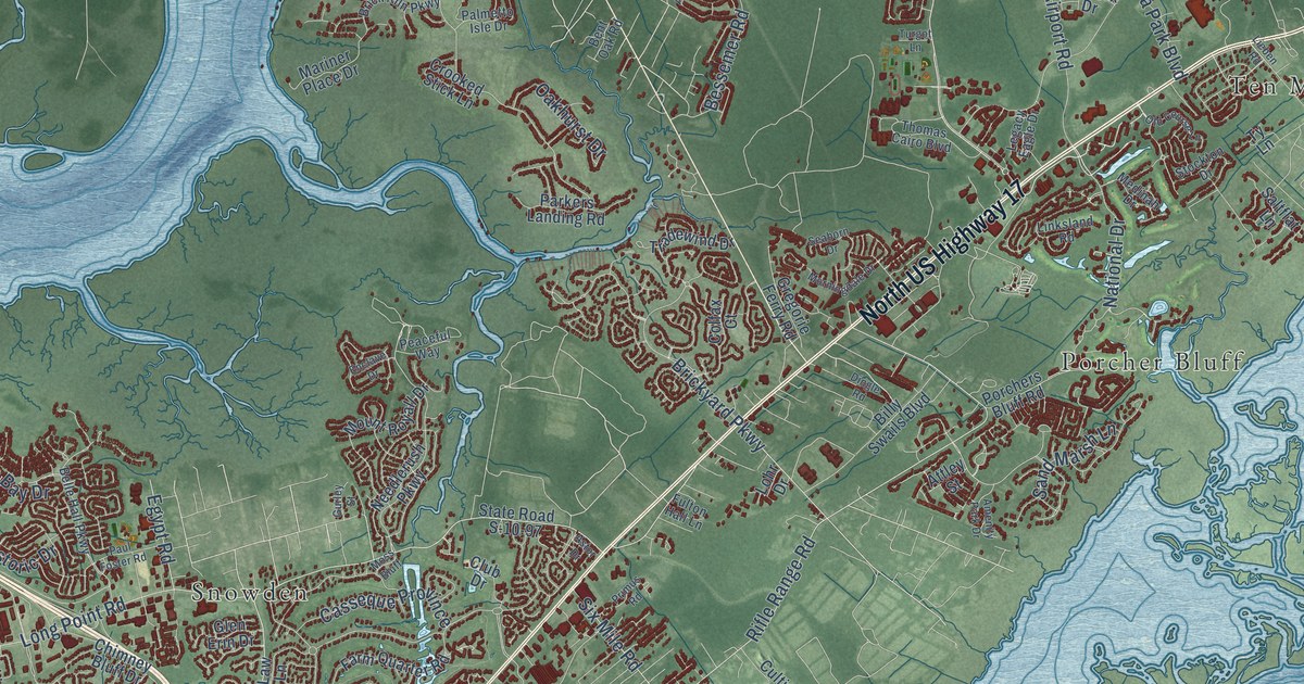
A detailed map of Mount Pleasant, South Carolina, showing every building in its true location, the roads by name, and shaded topographical relief.
Read More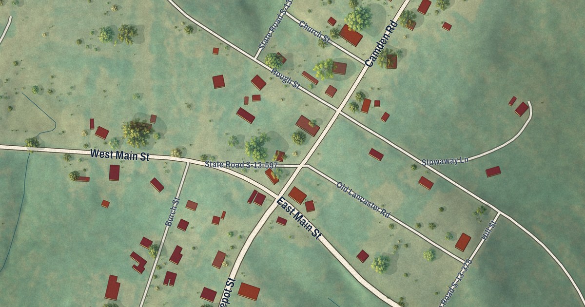
A detailed map of Mount Croghan, South Carolina, showing every building in its true location, the roads by name, and shaded topographical relief.
Read More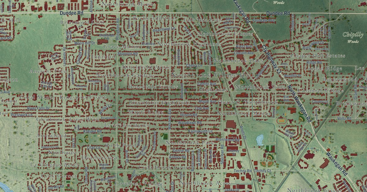
A detailed map of Northbrook, Illinois, showing every building in its true location, the roads by name, and shaded topographical relief.
Read More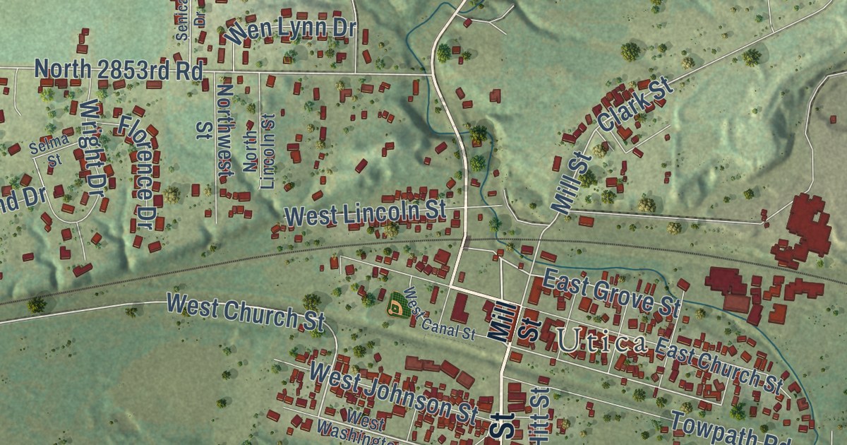
A detailed map of North Utica, Illinois, showing every building in its true location, the roads by name, and shaded topographical relief.
Read More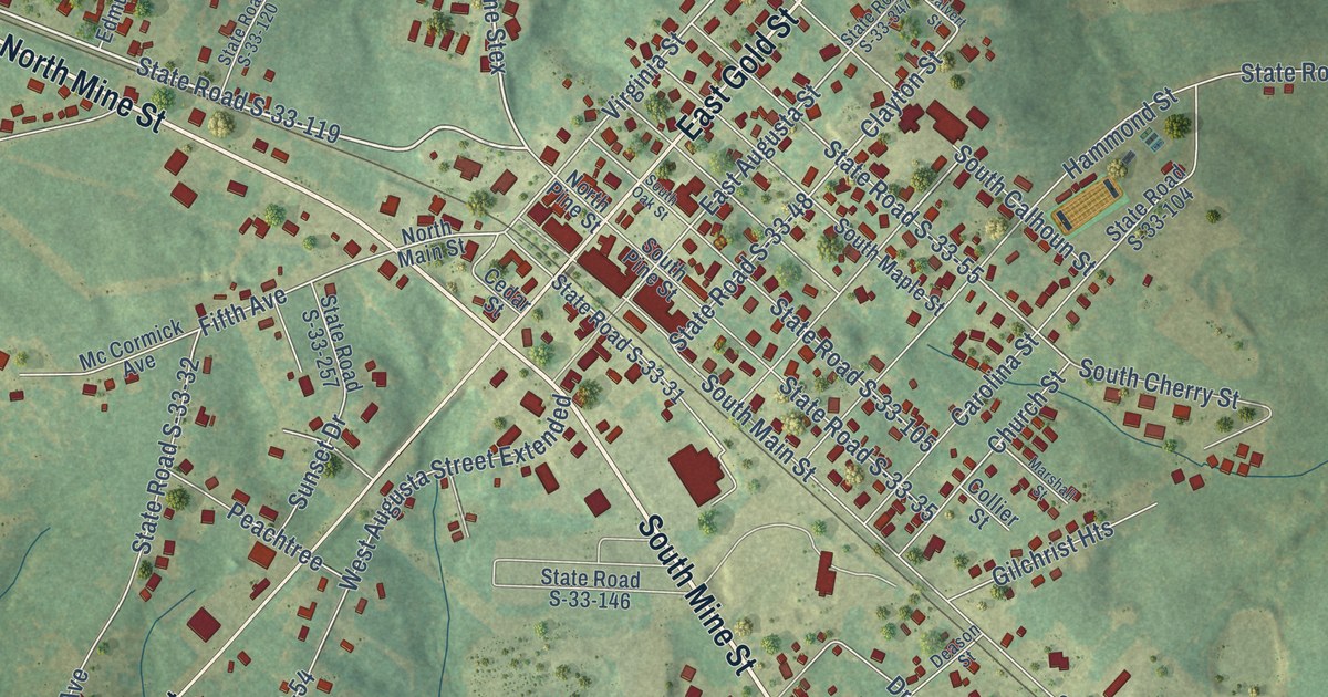
A detailed map of McCormick, South Carolina, showing every building in its true location, the roads by name, and shaded topographical relief.
Read More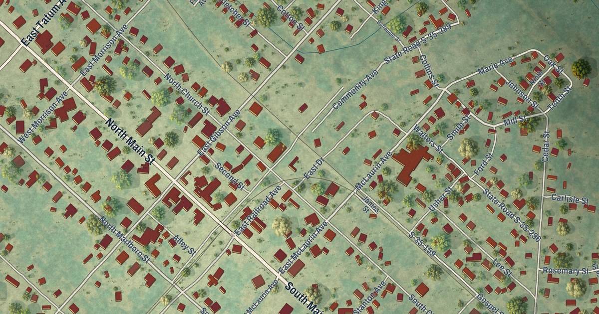
A detailed map of McColl, South Carolina, showing every building in its true location, the roads by name, and shaded topographical relief.
Read More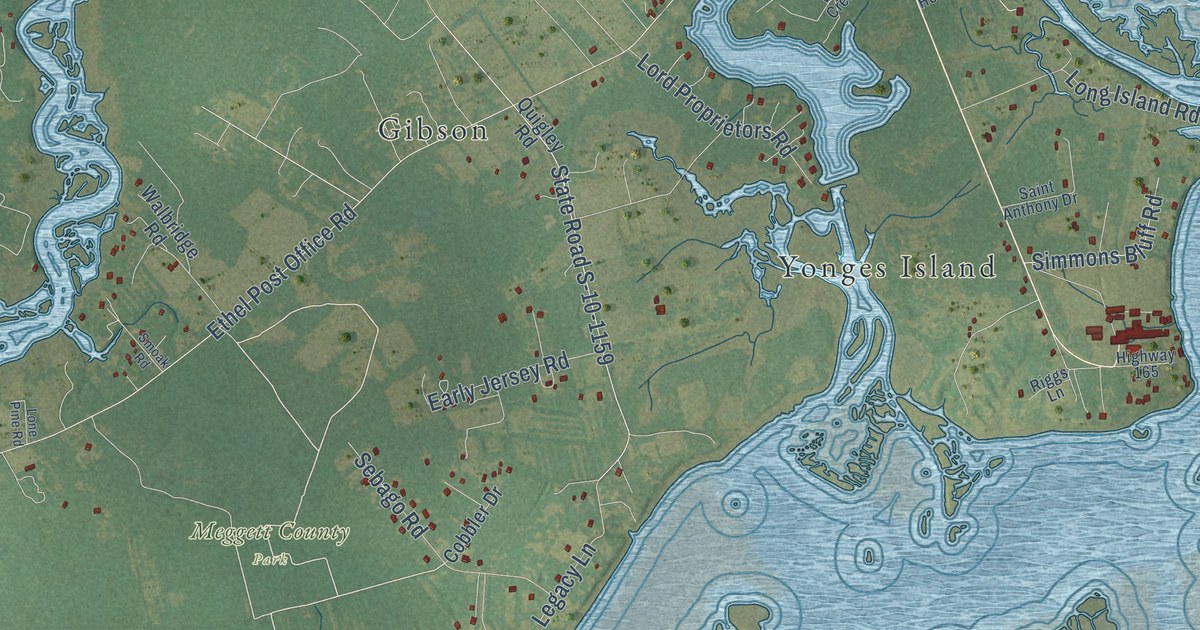
A detailed map of Meggett, South Carolina, showing every building in its true location, the roads by name, and shaded topographical relief.
Read More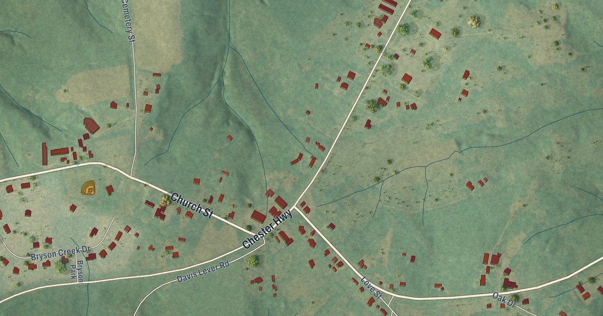
A detailed map of McConnells, South Carolina, showing every building in its true location, the roads by name, and shaded topographical relief.
Read More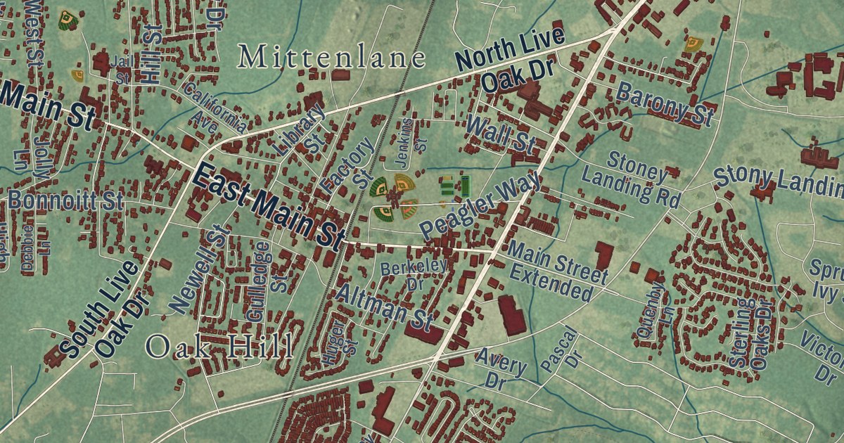
A detailed map of Moncks Corner, South Carolina, showing every building in its true location, the roads by name, and shaded topographical relief.
Read More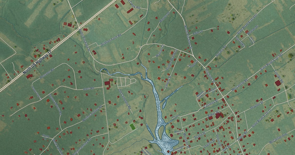
A detailed map of McClellanville, South Carolina, showing every building in its true location, the roads by name, and shaded topographical relief.
Read More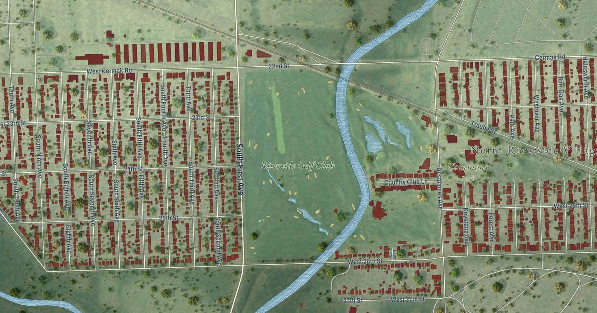
A detailed map of North Riverside, Illinois, showing every building in its true location, the roads by name, and shaded topographical relief.
Read More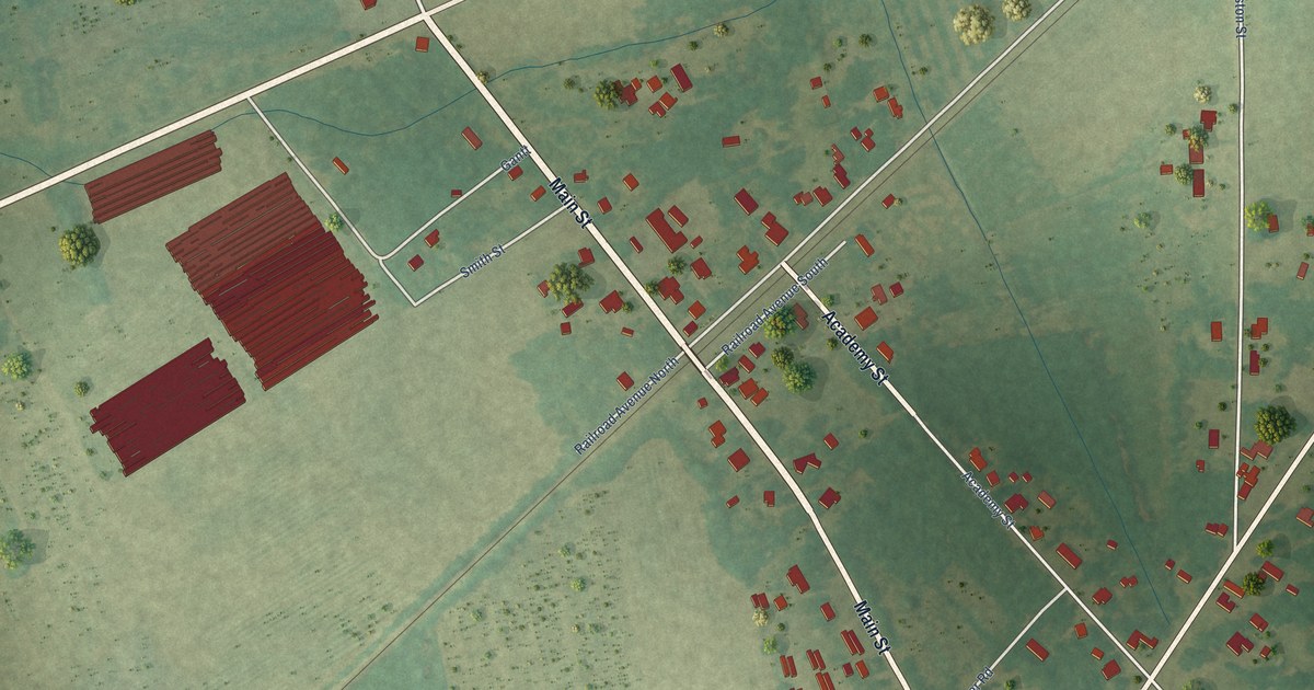
A detailed map of Monetta, South Carolina, showing every building in its true location, the roads by name, and shaded topographical relief.
Read More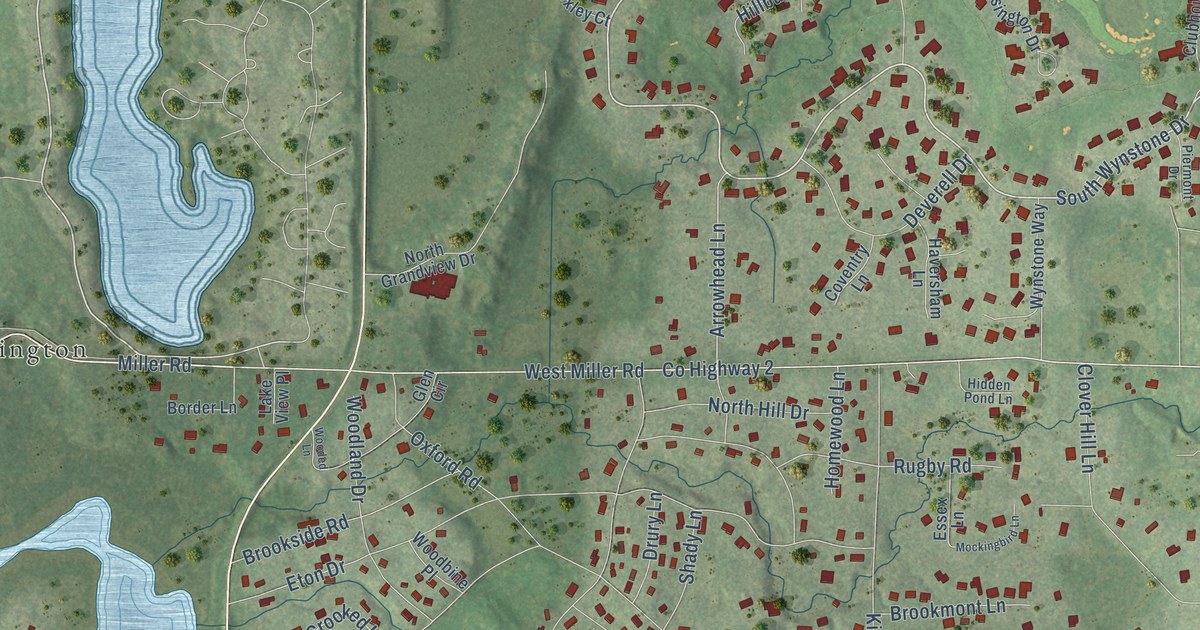
A detailed map of North Barrington, Illinois, showing every building in its true location, the roads by name, and shaded topographical relief.
Read More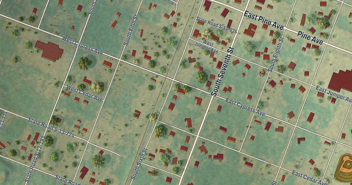
A detailed map of McBee, South Carolina, showing every building in its true location, the roads by name, and shaded topographical relief.
Read More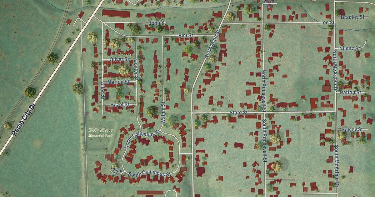
A detailed map of North Pekin, Illinois, showing every building in its true location, the roads by name, and shaded topographical relief.
Read More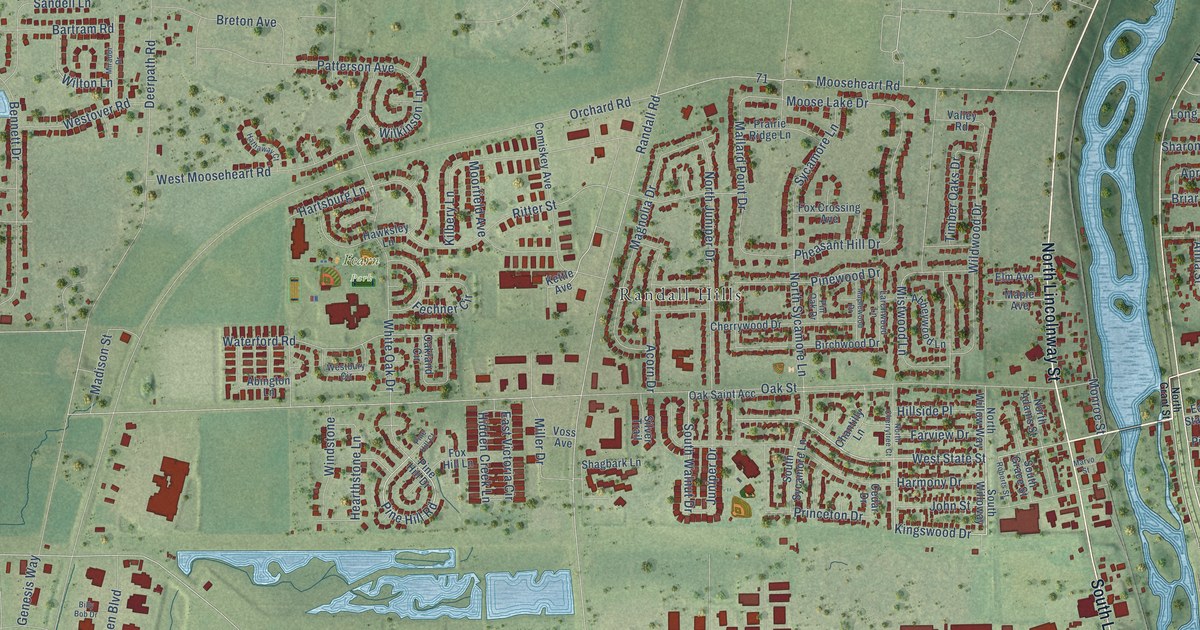
A detailed map of North Aurora, Illinois, showing every building in its true location, the roads by name, and shaded topographical relief.
Read More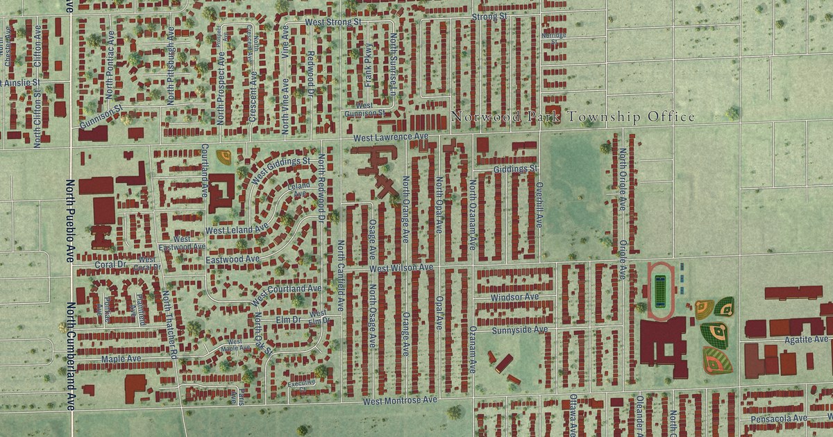
A detailed map of Norridge, Illinois, showing every building in its true location, the roads by name, and shaded topographical relief.
Read More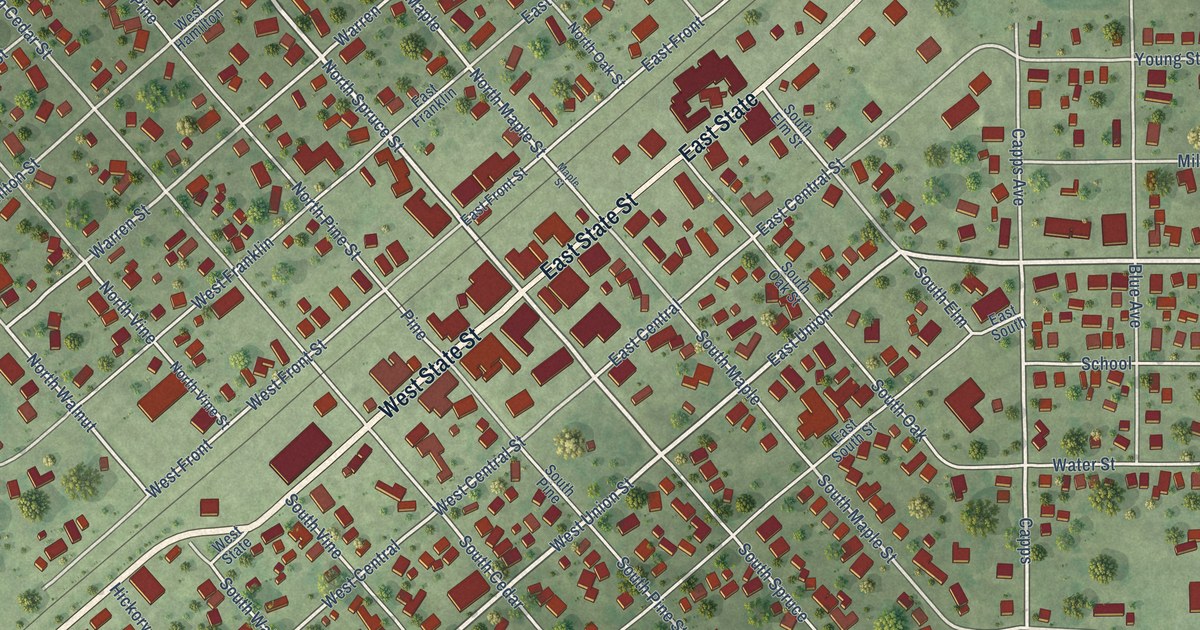
A detailed map of Nokomis, Illinois, showing every building in its true location, the roads by name, and shaded topographical relief.
Read More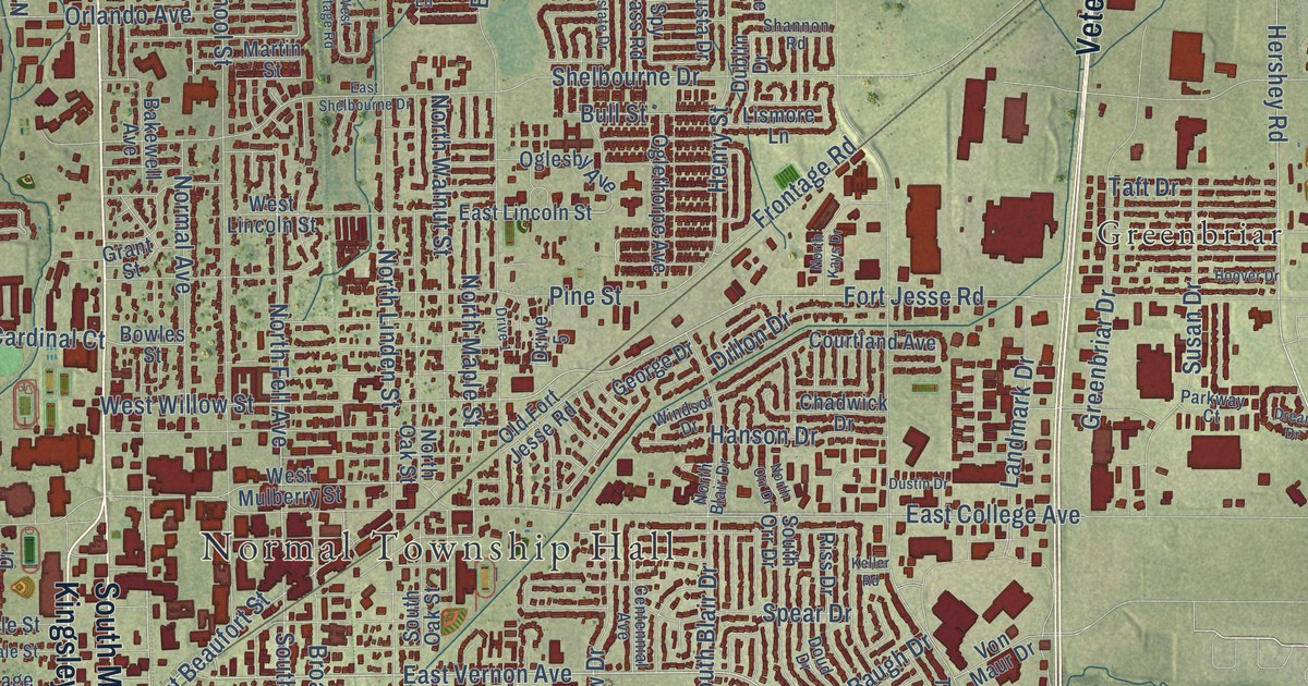
A detailed map of Normal, Illinois, showing every building in its true location, the roads by name, and shaded topographical relief.
Read More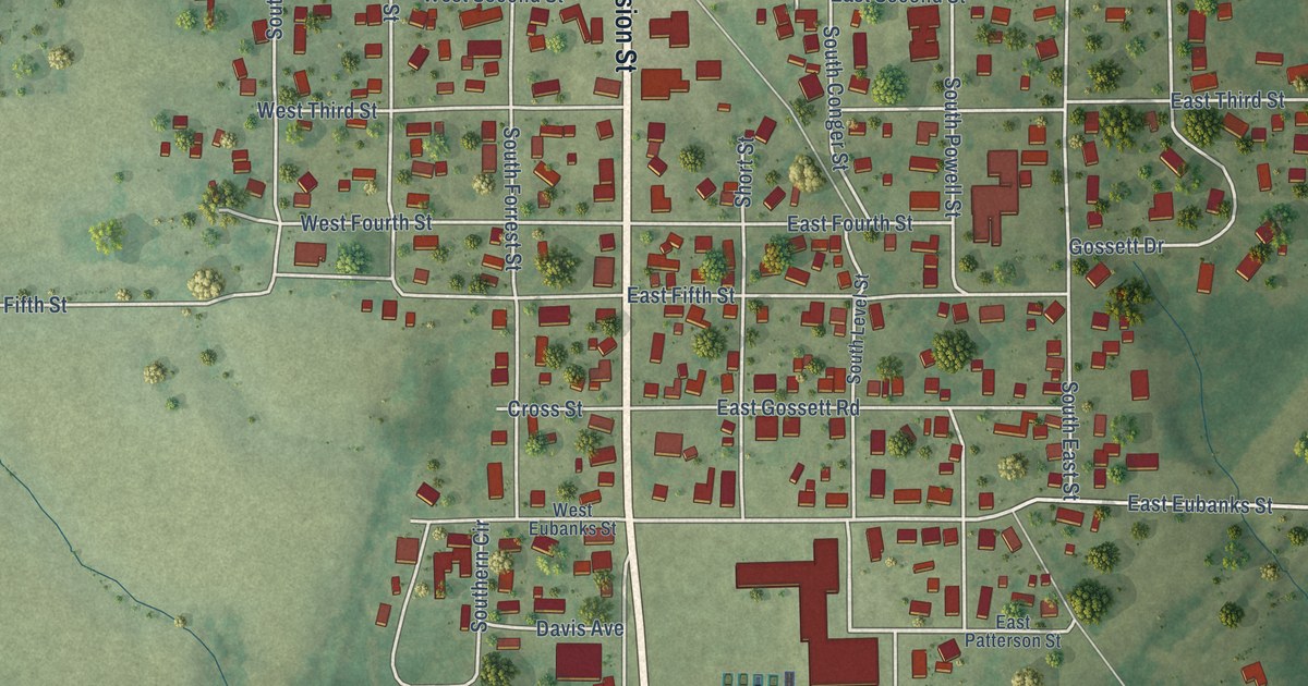
A detailed map of Norris City, Illinois, showing every building in its true location, the roads by name, and shaded topographical relief.
Read More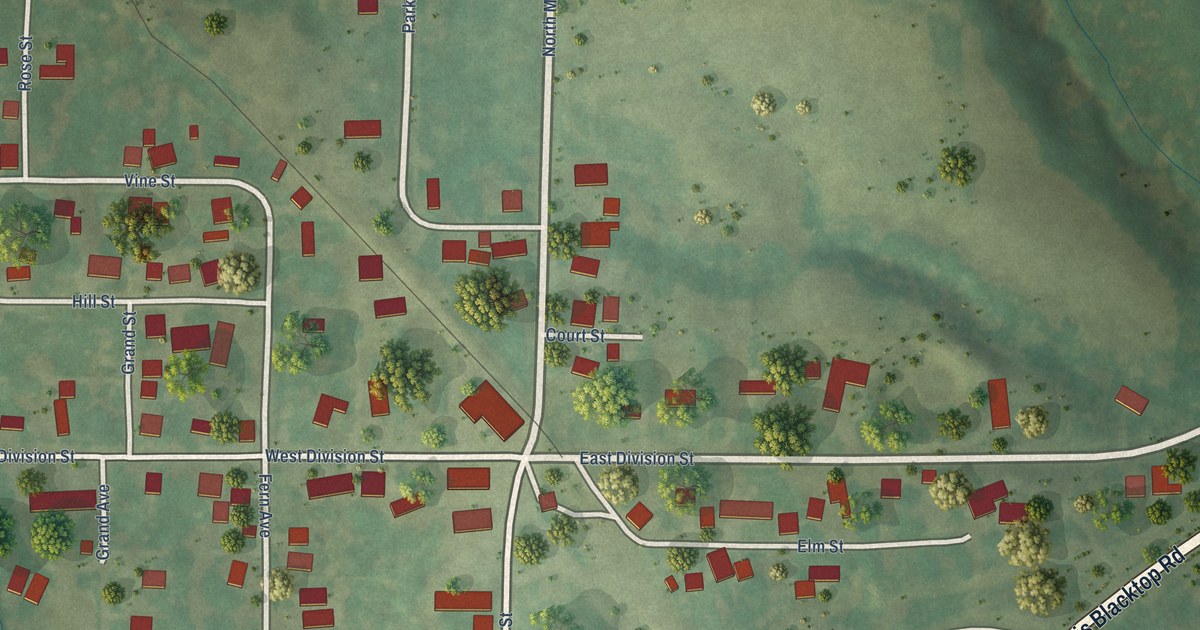
A detailed map of Norris, Illinois, showing every building in its true location, the roads by name, and shaded topographical relief.
Read More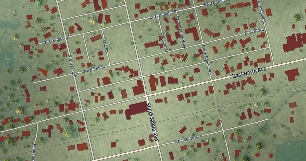
A detailed map of Noble, Illinois, showing every building in its true location, the roads by name, and shaded topographical relief.
Read More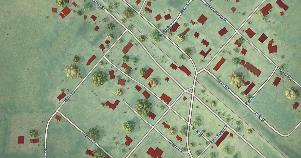
A detailed map of Nora, Illinois, showing every building in its true location, the roads by name, and shaded topographical relief.
Read More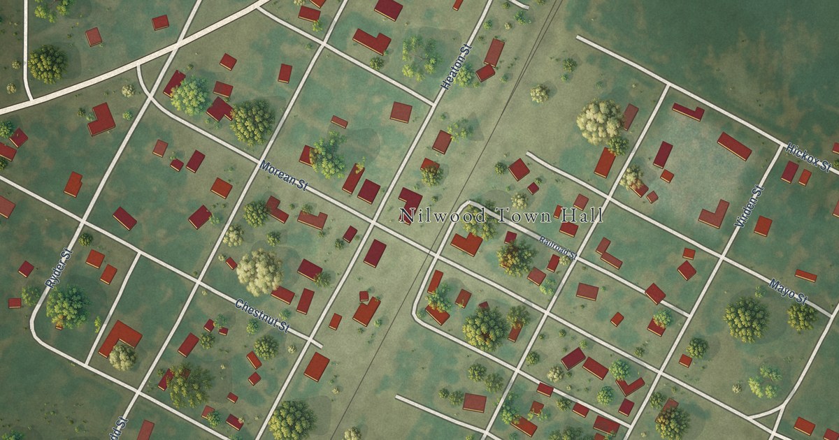
A detailed map of Nilwood, Illinois, showing every building in its true location, the roads by name, and shaded topographical relief.
Read More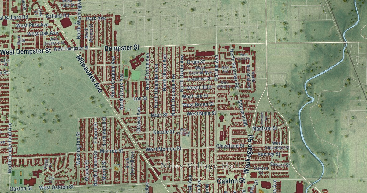
A detailed map of Niles, Illinois, showing every building in its true location, the roads by name, and shaded topographical relief.
Read More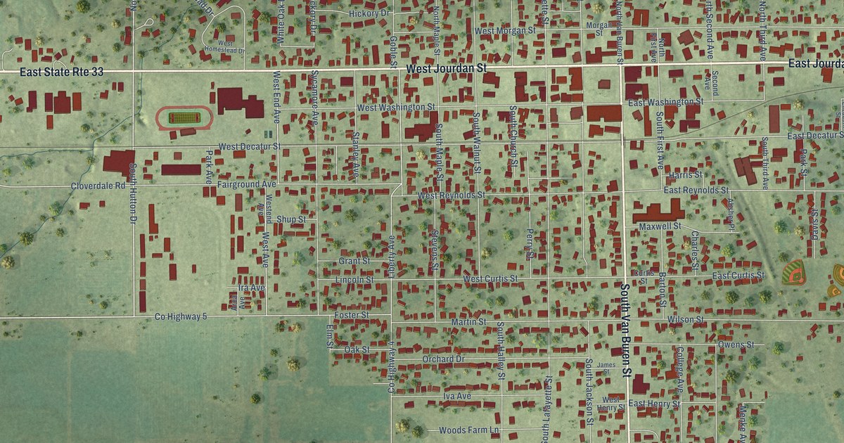
A detailed map of Newton, Illinois, showing every building in its true location, the roads by name, and shaded topographical relief.
Read More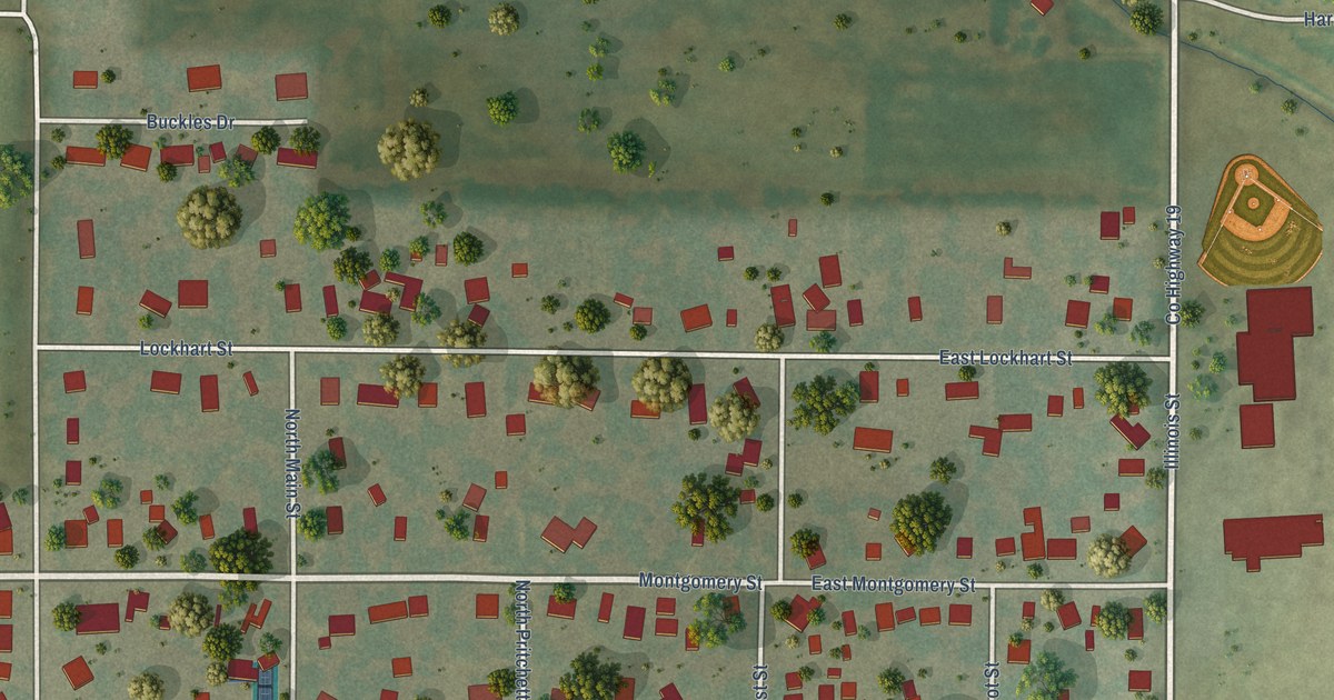
A detailed map of Niantic, Illinois, showing every building in its true location, the roads by name, and shaded topographical relief.
Read More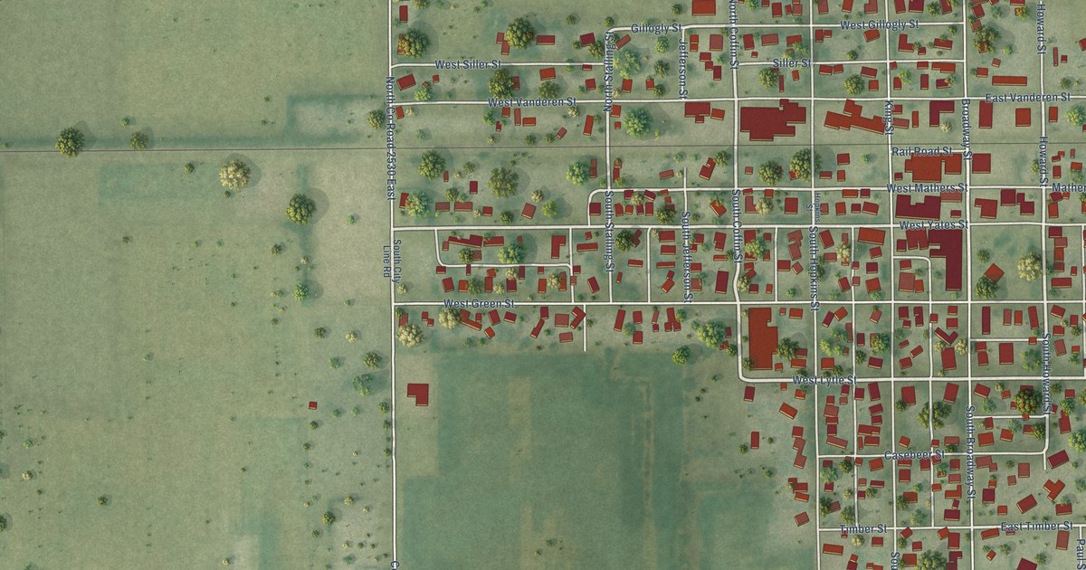
A detailed map of Newman, Illinois, showing every building in its true location, the roads by name, and shaded topographical relief.
Read More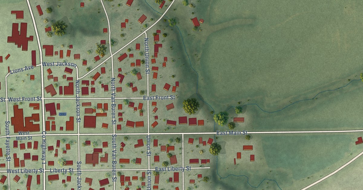
A detailed map of Newark, Illinois, showing every building in its true location, the roads by name, and shaded topographical relief.
Read More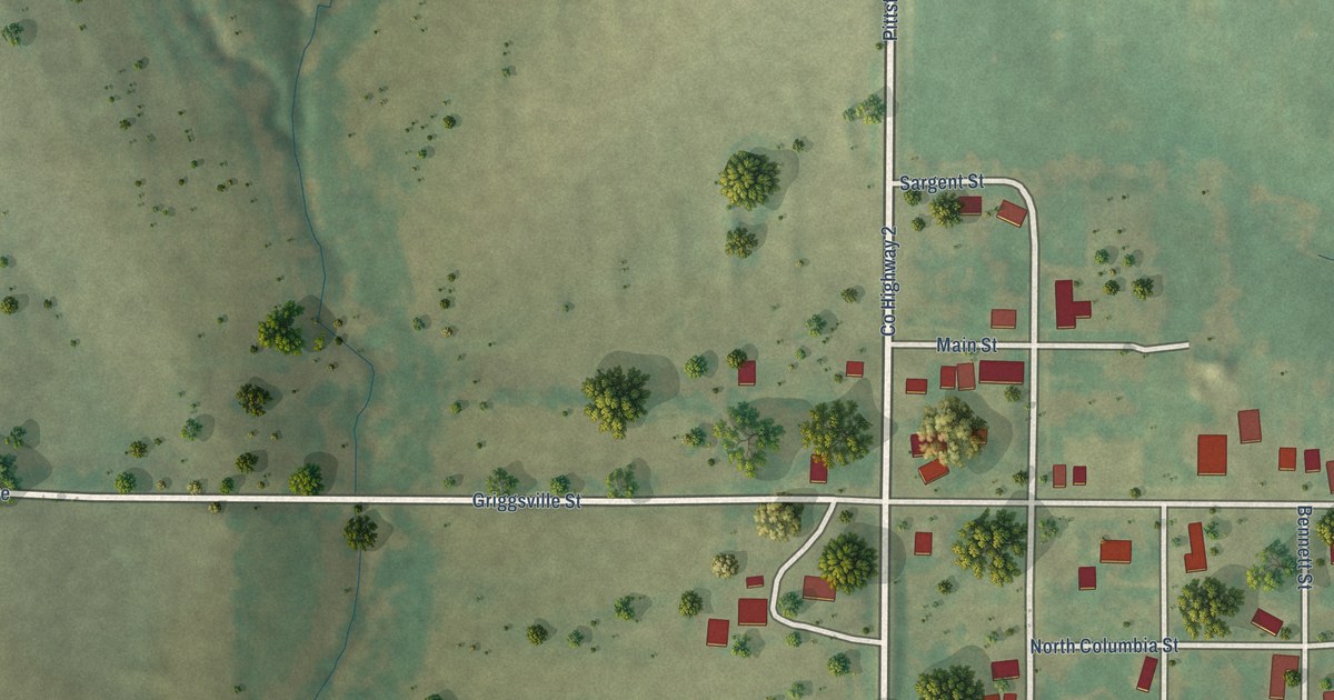
A detailed map of New Salem, Illinois, showing every building in its true location, the roads by name, and shaded topographical relief.
Read More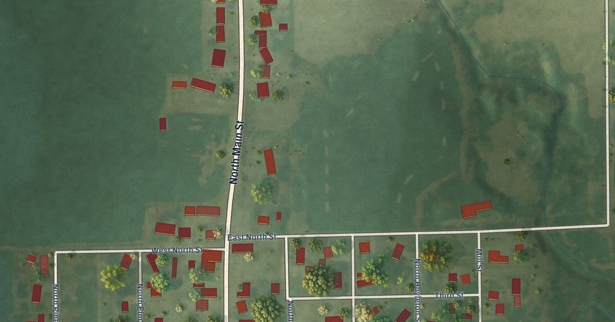
A detailed map of New Minden, Illinois, showing every building in its true location, the roads by name, and shaded topographical relief.
Read More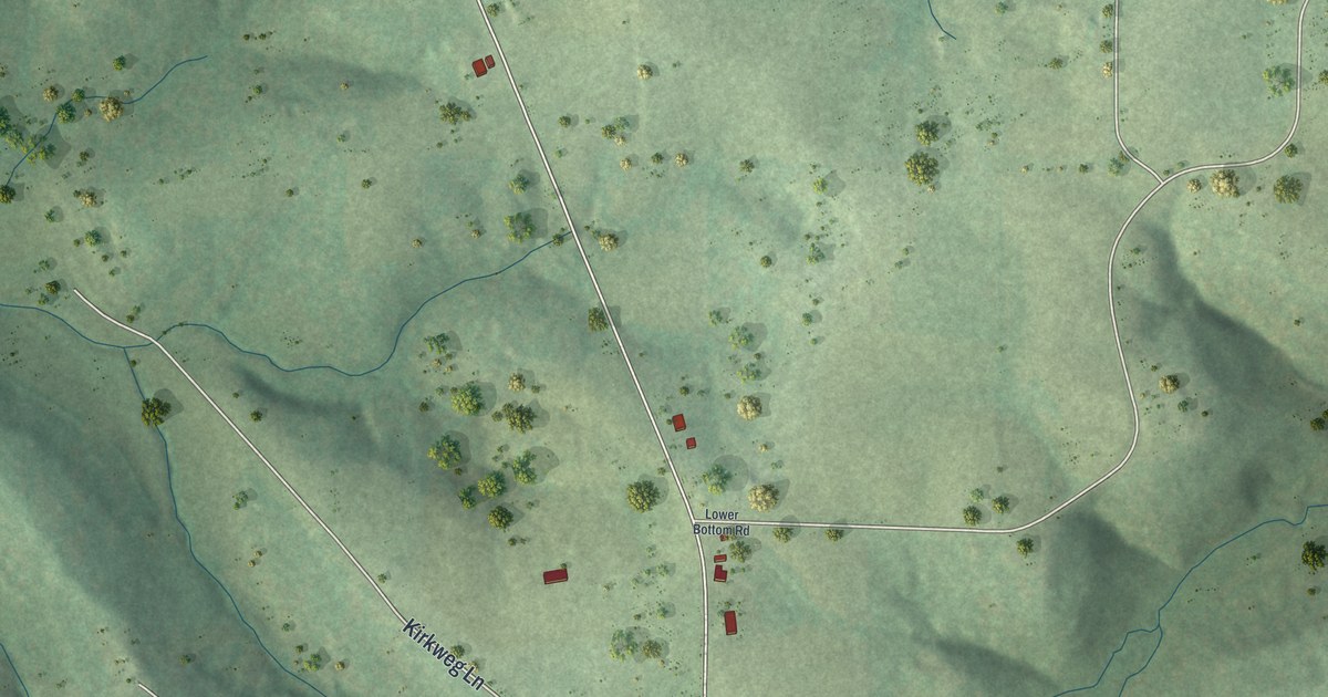
A detailed map of St. Thomas, Missouri, showing every building in its true location, the roads by name, and shaded topographical relief.
Read More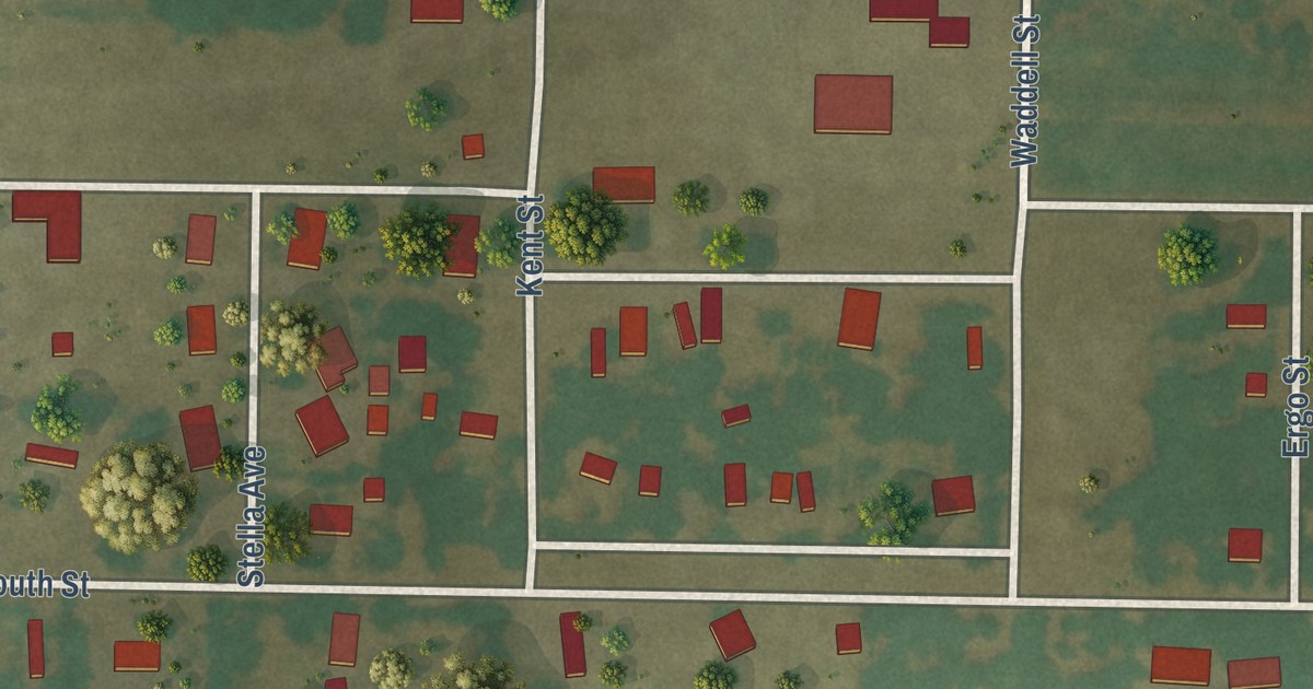
A detailed map of Stark City, Missouri, showing every building in its true location, the roads by name, and shaded topographical relief.
Read More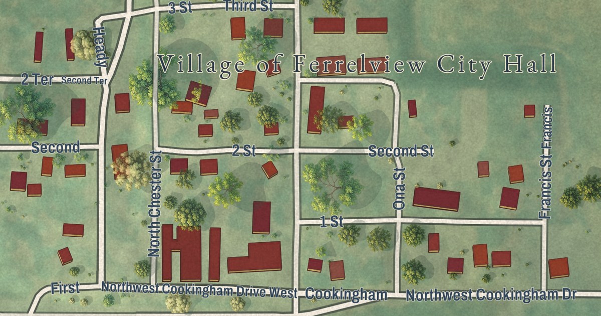
A detailed map of Ferrelview, Missouri, showing every building in its true location, the roads by name, and shaded topographical relief.
Read More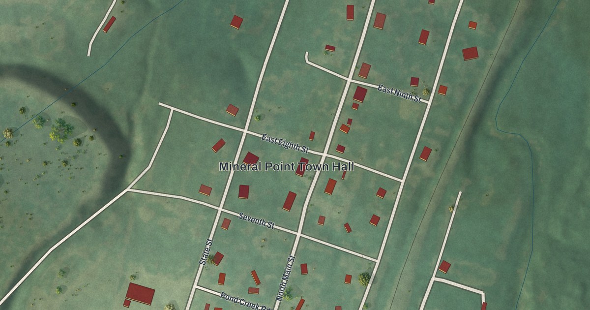
A detailed map of Mineral Point, Missouri, showing every building in its true location, the roads by name, and shaded topographical relief.
Read More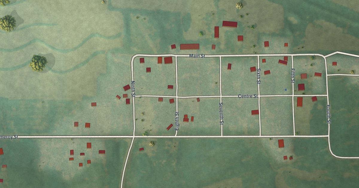
A detailed map of Darlington, Missouri, showing every building in its true location, the roads by name, and shaded topographical relief.
Read More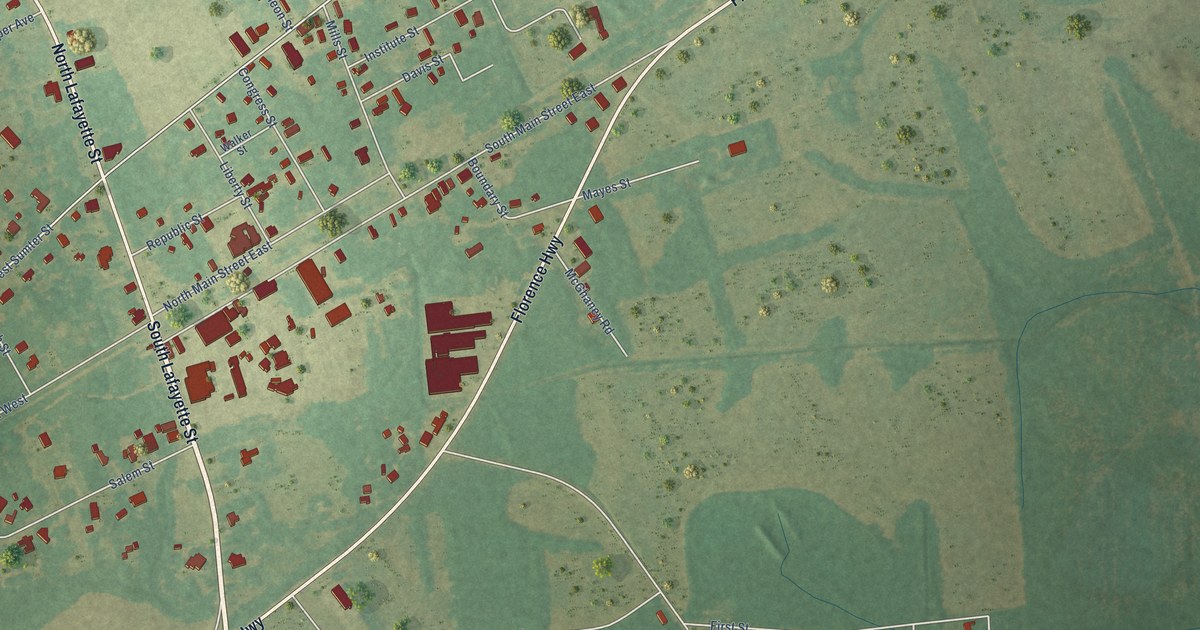
A detailed map of Mayesville, South Carolina, showing every building in its true location, the roads by name, and shaded topographical relief.
Read More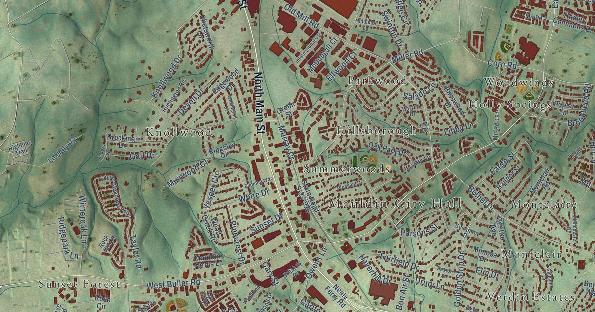
A detailed map of Mauldin, South Carolina, showing every building in its true location, the roads by name, and shaded topographical relief.
Read More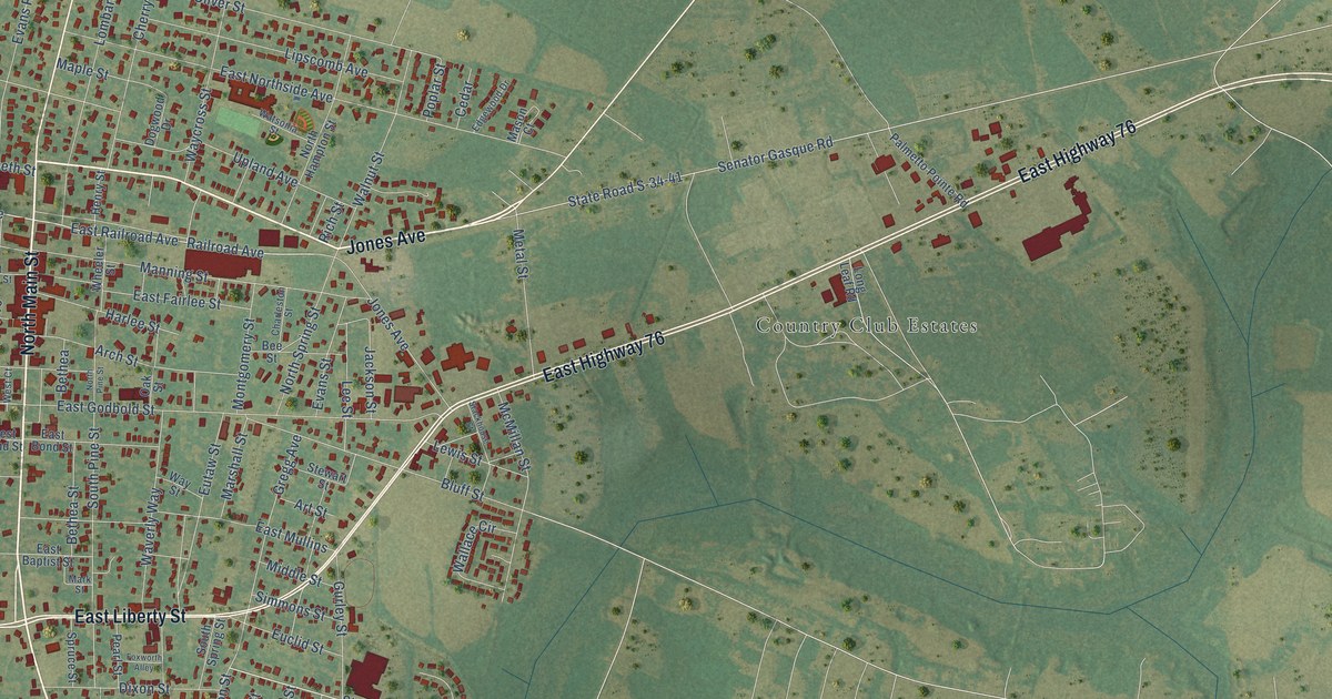
A detailed map of Marion, South Carolina, showing every building in its true location, the roads by name, and shaded topographical relief.
Read More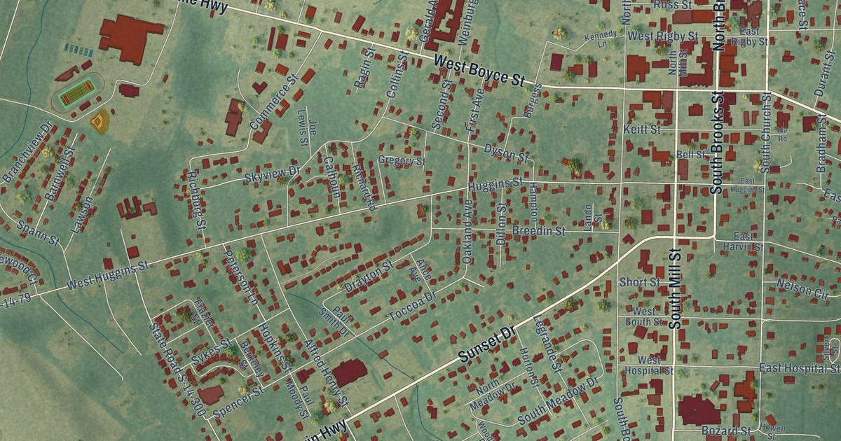
A detailed map of Manning, South Carolina, showing every building in its true location, the roads by name, and shaded topographical relief.
Read More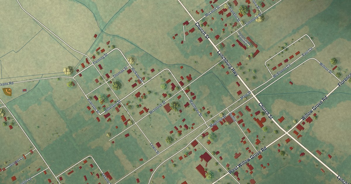
A detailed map of Lynchburg, South Carolina, showing every building in its true location, the roads by name, and shaded topographical relief.
Read More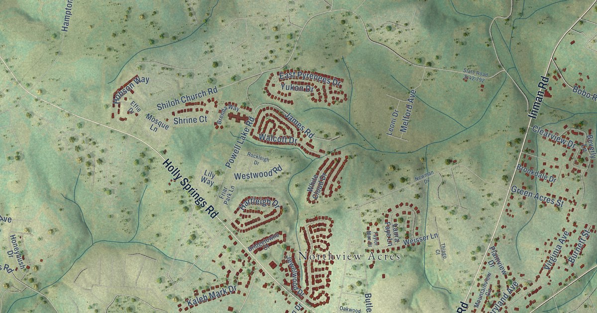
A detailed map of Lyman, South Carolina, showing every building in its true location, the roads by name, and shaded topographical relief.
Read More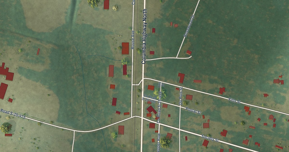
A detailed map of Luray, South Carolina, showing every building in its true location, the roads by name, and shaded topographical relief.
Read More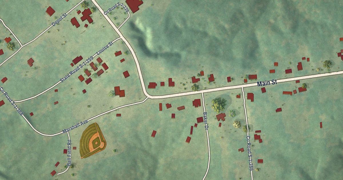
A detailed map of Lowndesville, South Carolina, showing every building in its true location, the roads by name, and shaded topographical relief.
Read More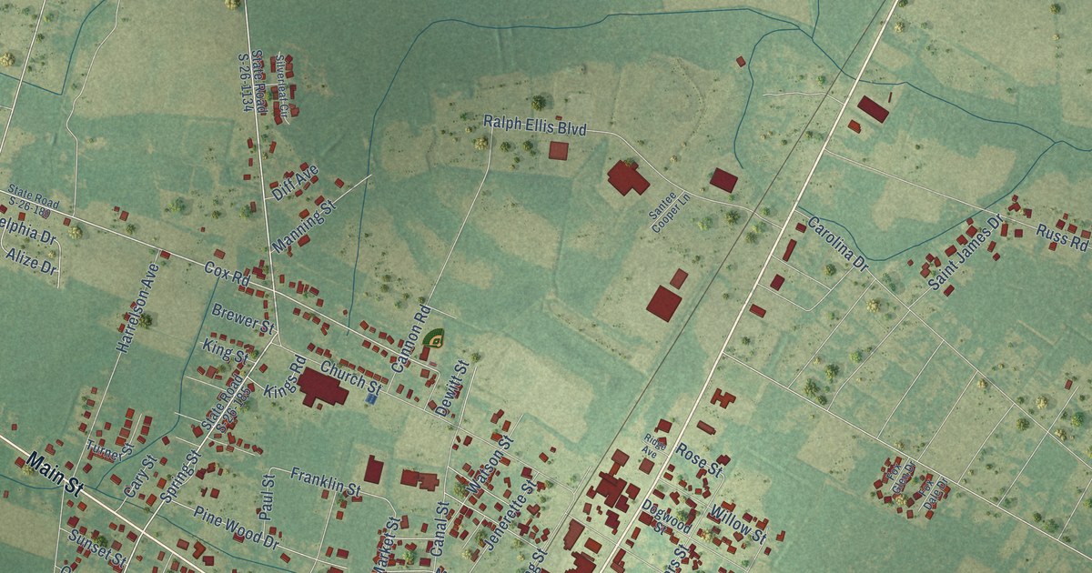
A detailed map of Loris, South Carolina, showing every building in its true location, the roads by name, and shaded topographical relief.
Read More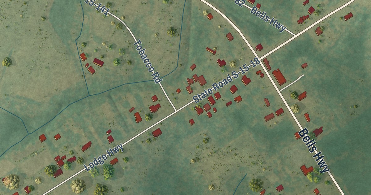
A detailed map of Lodge, South Carolina, showing every building in its true location, the roads by name, and shaded topographical relief.
Read More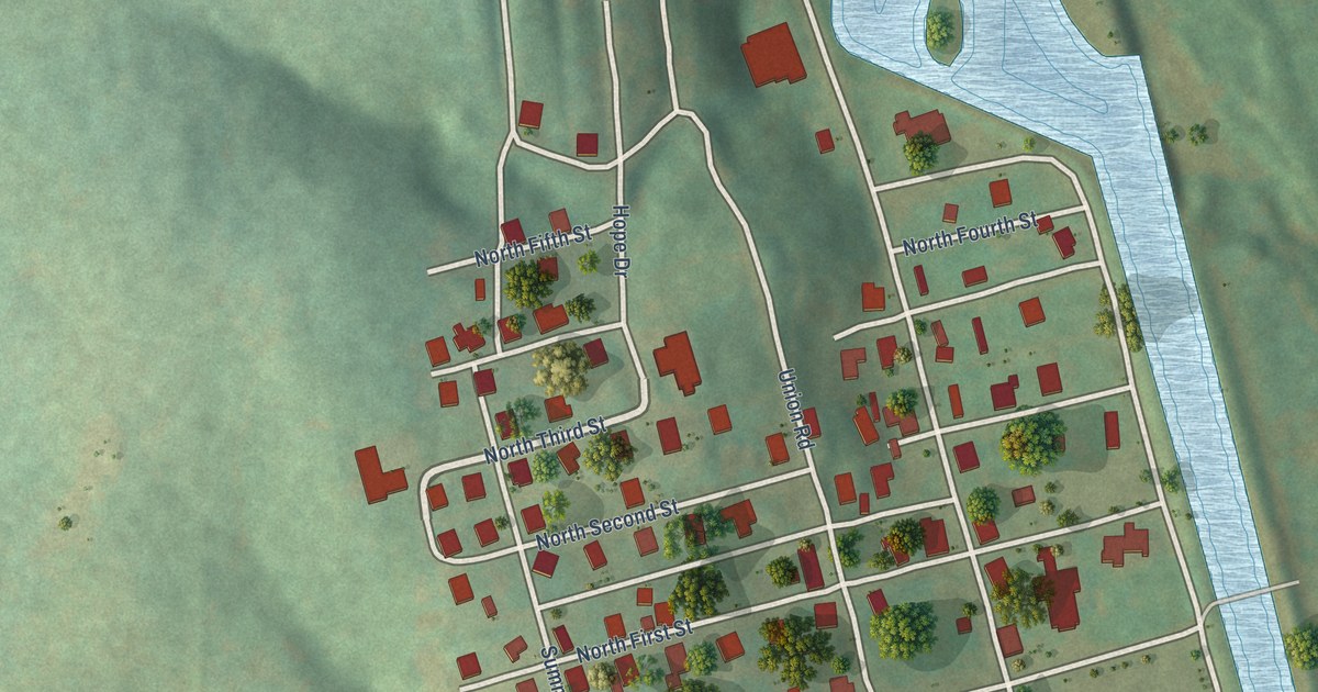
A detailed map of Lockhart, South Carolina, showing every building in its true location, the roads by name, and shaded topographical relief.
Read More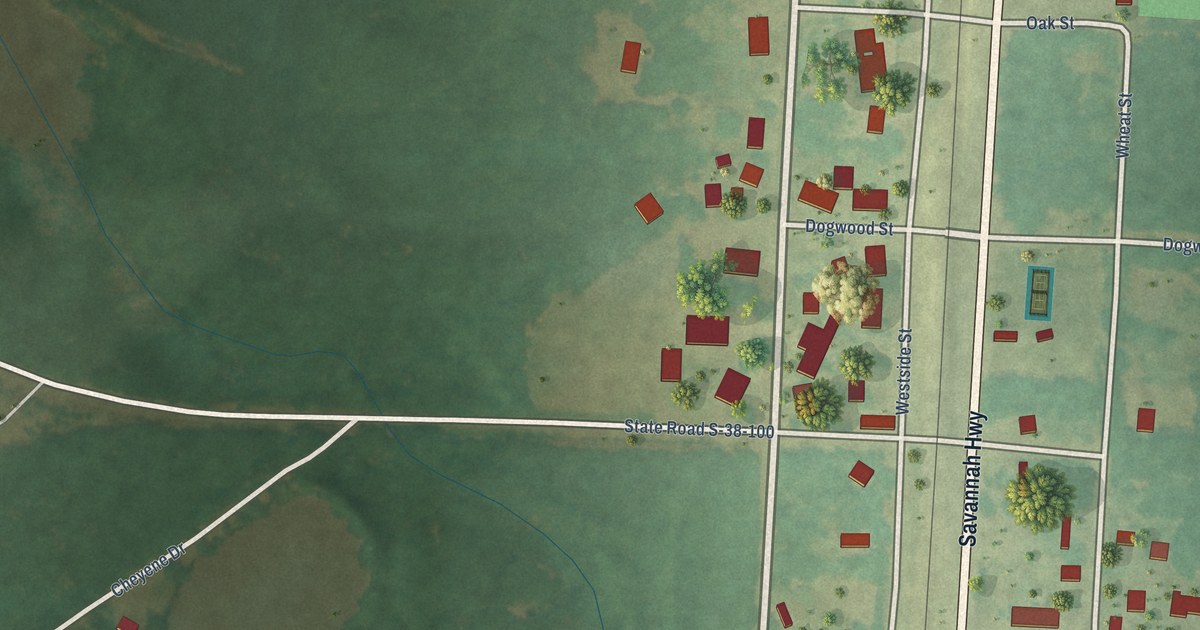
A detailed map of Livingston, South Carolina, showing every building in its true location, the roads by name, and shaded topographical relief.
Read More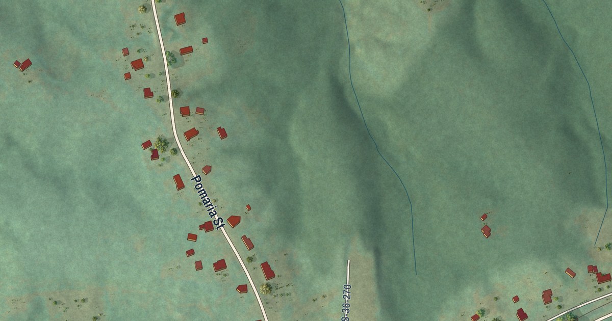
A detailed map of Little Mountain, South Carolina, showing every building in its true location, the roads by name, and shaded topographical relief.
Read More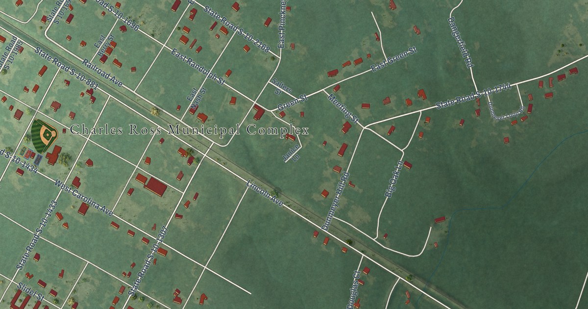
A detailed map of Lincolnville, South Carolina, showing every building in its true location, the roads by name, and shaded topographical relief.
Read More















